Last week we had a fair amount of rain on the Muira Pennisula of Japan which is about an hour south of Tokyo. Moisture on the mostly clay-based soils here makes the trails quite slick so I was not expecting to see any trail action when the sun showed up for the first time in a handful of days.

I decided to do a little exploring on the streets and see if I could find some new areas to ride when things dry out. I have had a Japanese map of this area since 2004 so I whipped out my old friend and started looking for the thin dashed lines and mountain tops.

The map while written in Kangi which (I can’t read the stuff), is great for matching up with street signs and trailhead markers. One of the more important Kangi symbols for a wandering MTB addict is the top of a pitchfork looking one in the circle pictured above. It is “yama” and used on its own means mountain. The other important one to note on the maps are the counterclockwise swastikas. This is used as a symbol for a temple. Hilter and the Nazis are pretty much the Johnny come latelys for using this symbol as its use goes back over 3,000 years. Despite the Nazis twisting the popular meaning of it, in most cultures the swastika is a traditional symbol of life and good luck. I have found that the mountain top temples almost always have decent trails leading up to them.

The mountain for this little adventure was Takeyama. So I headed out for some street cruising to get over to the area. The plan was to find the access road/trail that goes up the mountain. I approached the mountain from the northeast so I started scoping out all the small streets in the area and worked my way along the eastern side. It is very common to find small villages and towns located at the bottom of the mountains where there is ample access to water sources. There are often many small patches of family farms interspersed along the creeks and streams as well as the lower portions of the mountain where the terrain is transitioning from steep to the mellow valley floor. There is often a network of small trails that connect these small farm patches. I was hoping to find a trail coming down from the top of the mountain to one of these patches.

I did find such a trail heading up the mountain off of one of the farm trails. The forest was a mix of large bamboo and hardwoods. I only went a short ways up the trail when I discovered that it had been washed out and after scrambling around the washout the trail become so overgrown to the point of virtually being gone. The high amount of annual rainfall here allows mother nature to reclaim that which is not used in as little as a single season. I went back down and continued my snooping on the east side. I knew there was a fire road coming down this side of the mountain but I was not having any luck finding it. There were several business and private areas that were locked up and I was beginning to think the fireroad might not be publically assessable . After a while of not getting anywhere on the eastern side of the mountain I decided to try approaching from a different side.

I cruised downhill with lots of speed along the streets until I reached Tsukuihama beach on Tokyo Bay. It was time to refuel with some energy snacks Nippon-style. While enjoying my snacks and taking in some views I was also scanning over my map to get an idea of where to go next. The southwest corner looked promising as there where farmlands and at least one secondary road going over a saddle to the west of the mountain.

Once back on the bike I started working my way towards the mountain. When I went by the local train station, I noticed a sign with an arrow and the Kangi symbols for Takeyama. Japan has a very strong hiking culture and it is common to find directions to trailheads at the closest train stations. This was a sweet find. I followed the signs that took me along a riverside path before directing me onto a narrow paved road that in some spots was about the width of an average golf cart path in the states.

My destination can be seen in the distance in the photo above. There were three peaks to get over on my intended route. The first one is obscured to the far right and out of frame, but the other two with the radio towers on top can be seen. I could already tell there was going to be some steep ups and downs between those two peaks. With the expected moisture on the trail, I was prepared to hike-a-bike most of the route that lay ahead.

The paved roads and signage brought me to the actual trailhead and the trails were indeed slick in spots. When the grades were mild you could get in some peddling but add much grade or roots and you had some serious treachery to contend with. It was all good as I was mentally out for a bike assisted hike anyway. On the way to the first peak I came across one of these statues on the trail. I need to find the purpose and history of these statues, but they are really cool and added to the exotic nature of being out here.

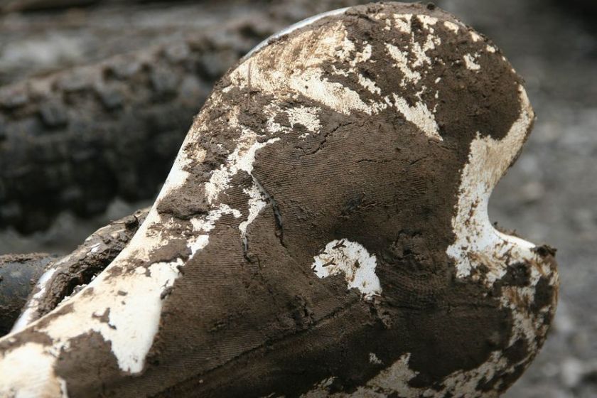
Steep trails over here typically have log steps on them. Without them you are not going to get up some of the trails when they are a little moist. The more established trails have replaced the wooden logs with concrete faux logs. They have a fairly natural appearance, are a god send when hiking up and provide a technical challenge when riding down them. As an added bonus when riding these on a rental hardtail, you will also get to fully stress test any dental fillings you may have. 🙂

The first peak I went over was Miura-Fuji, There were various spiritual monuments on the peak of which I knew little of thier meanings. I met a Japanese man here who had an amatuer radio rig setup on the peak. I used to have a amatuer radio license as well and we knew enough of each other’s language to have a short conversation about how he was talking to his friends in Sapparo on the radio. Considering Sapparo is over 500 miles away it, was a good haul with the equipment he had.

Soon I continued on and headed for the second peak. As I had expected I lost some elevation before having to regain it all and then some. It is hard to convey how steep some of these mountains are in pictures. In the case of the picture above, the angle that I am looking down is not captured.

The trail beyond to Muira-Fuji went on for a sizable ways before coming out onto a fireroad. This had to be the fireroad I was looking for earlier in the day but had missed. There was only one way to know for sure where the bottom of the fireroad came out at. So I descended the fireroad and I was surprised at its length. When I got to the bottom, I realized I had gone right past it thinking it was a driveway to an adjacent home. If I have ridden another 50 feet closer to the entrance it would have become obvious that it was the fireroad. Now that I knew the where the bottom of the fireroad was I turned around and retraced my way back up the fireroad. It was a good climb and I continued onward past the singletrack I had originally come in on.

It was pretty mellow climbing the rest of the way up to the second peak, Mt Hodai. The views from the peak were a letdown as the flora growth obscured any views. What was interesting was a large concrete structure sunk into the ground. I could not figure out its purpose. I later found out from a Japanese friend of mine that during WWII a large anti-aircraft gun battery was here to defend the area against American bombers. It never shot down an American plane.

From the Mt Hodai peak, I went back down the fireroad just a short ways and picked up a singletrack that headed over to Takeyama. There was not as much hike-a-bike as I had expected and I soon found myself at the peak. The views from Takeyama were somewhat dulled from the marine layer that was still lingering. The exceptional part here was the Takeyama-Fudo temple. It is a small traditional temple with ornate wood work and an overall design that was exceptionally interesting.


Where does one start and the other begin?

After perusing around the temple grounds, I snooped around for another trail heading off the peak. There was one heading down to the Southeast but I was looking for something to the north. I descended the brutally steep concrete road access road for the temple looking for a northside trail. I had to keep my speed in check as I did not trust these concrete roads that had some moisture on them. There had to be some sections that were over 20% grade. I did find one promising looking trail, but opted to save it for another day. Once back down at the bottom I went back into street cruising mode and made my way back to the apartment. I was pretty stoked with this day as it turned out to be so much better than I had expected.


