
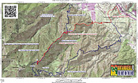
Indian Truck Trail
Indian Truck Trail is a fire road that climbs up the eastern slopes of the Santa Ana Mountains in Riverside County between Lake Elsinore and Corona. It is roughly six miles long and climbs about 3,000 before connecting up with the Main Divide Truck Trail that runs along the peaks of the entire Santa Ana mountain range. It is a good workout all on its own and when you combine it with some of other trails that can be accessed via Main Divide you can create some real quad killing, lung busting, "I can't get that stupid grin off of my face" rides.

Directions: Since I first starting riding ITT, an entire community has been built at the bottom of the trail and homes go right up to the border of the USFS land. You can park in the neighborbood right at the start of truck trail or in a nearby park. Either way you are going to be getting off at the Indian Truck Trail exit off Interstate 15 between Tom's Farm and Lake Elsinore
- Deleo Regional Sports Park: Lots of spots here. To reach the trail ride east on Santiago Canyon road a couple of blocks and turn right onto Peony Dr. One block later it turns into Indian Truck Trai.

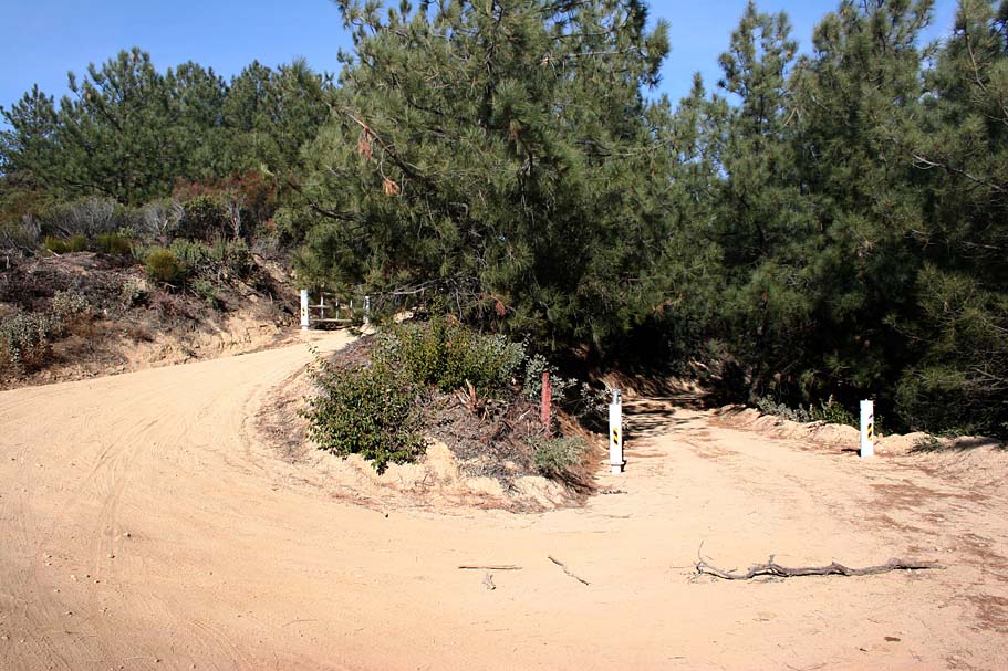
- End of Peony Dr/Start of Indian Truck Trail: There is plenty of spots to park here either on the paved street or just of the truck trail there are plenty of pullouts on the dirt.
Wild Fire Impact:This area has seen two wildfires since 2018. The USFS has closed the road leading to the trailhead that services Holy Jim, Trabuco and West Horsethief. Additonally, Main Divide Truck Trail is closed from Santiago Peak to the junction with the Indian Truck trail which impacts access the Cold Water Canyon Trail as well. The closure is currently ordered until at least May of 2023. Many believe that he USFS is slow rolling the reopening of these trails. Here are the Alerts and Notices section of the USFS website.
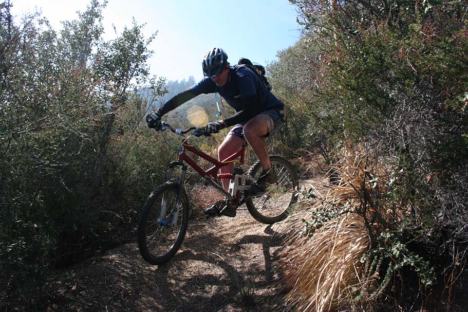
Ride Notes:
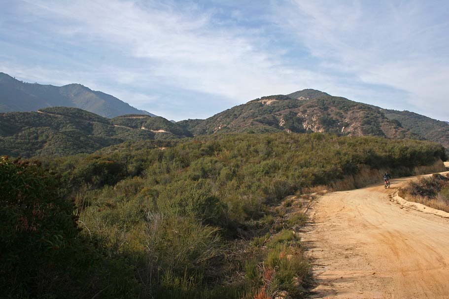
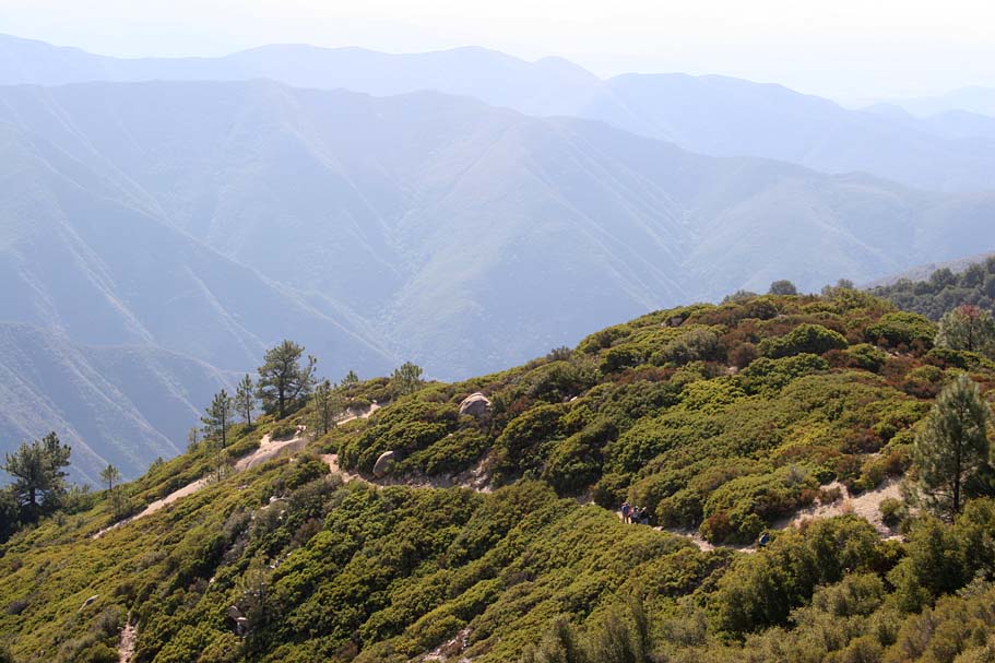
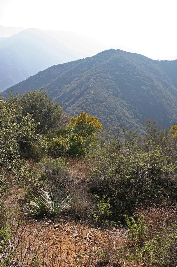
After about .4 miles of gradual climbing on the truck trail you will pass by a Korean retreat/farm and after that you will have a couple of switchbacks before the views open up enough were you can see the truck trail snaking it way up the mountainside.
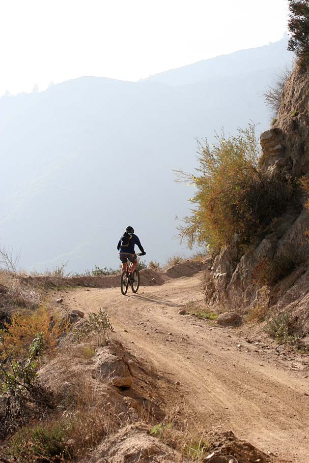
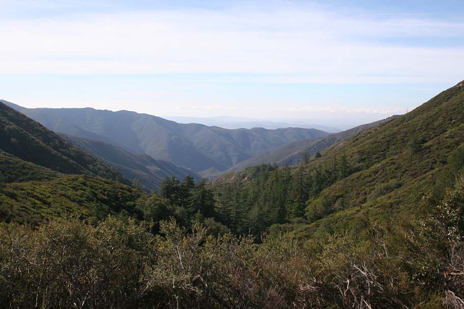
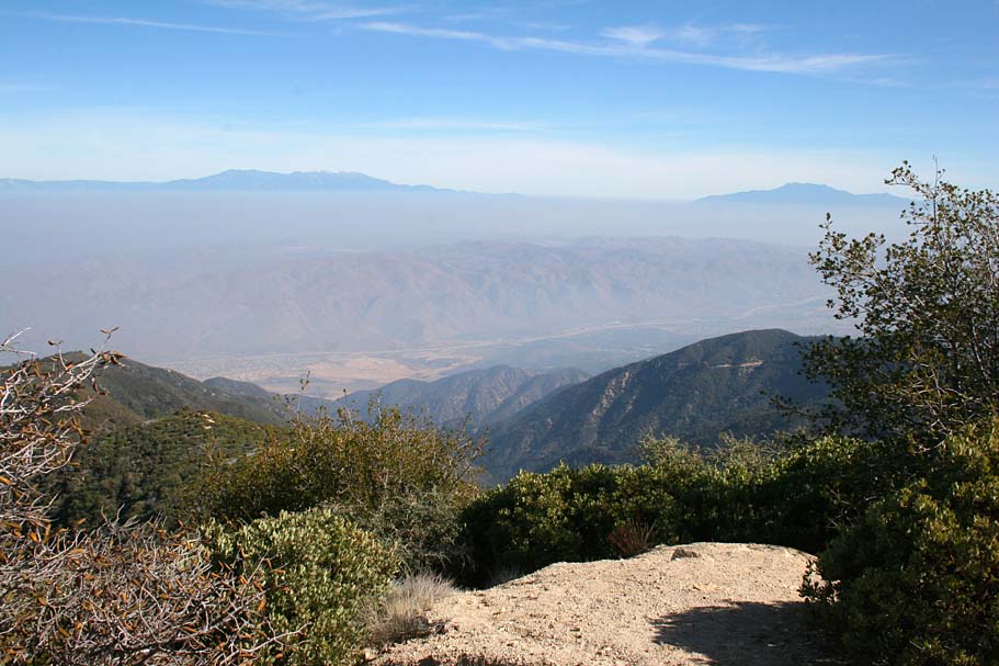
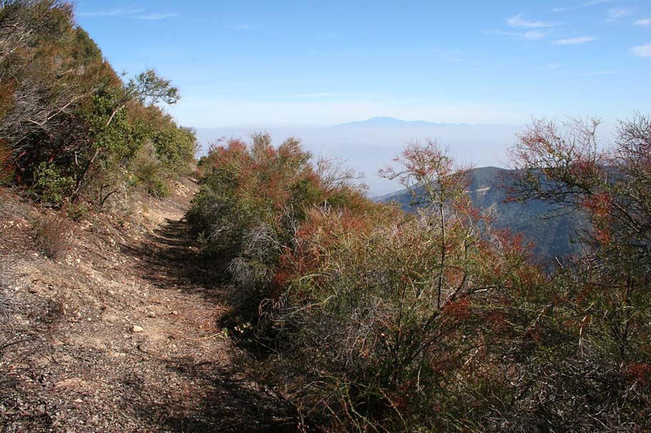
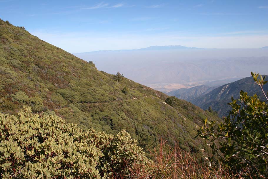
The main views you will see from here is Indian Canyon below you to the south with Trabuco Peak at 4,604 feet off to your left as you climb.
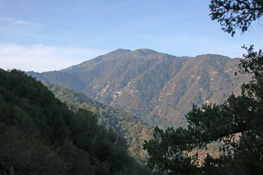
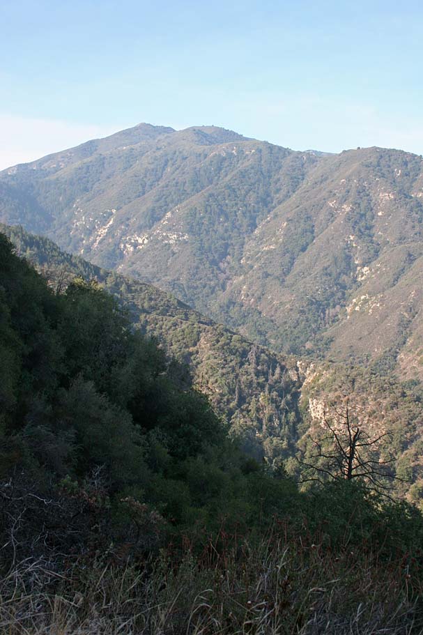
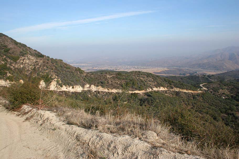
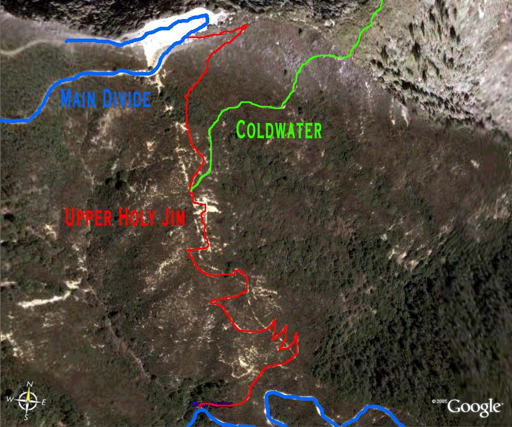
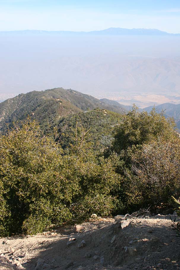
At around 2.5 miles into the climb the you have transitioned from the sage and scrub brush into pine trees. You will also have crossed over to the north side of the ridge you are climbing and will now have Mayhew Canyon below and to your right with Santiago Peak at 5,687 feet ahead of you. The top of the large ridgeline above the north side of Mayhew Canyon is where the Upper Holy Jim starts as well where the upper portion of the Coldwater trail runs.
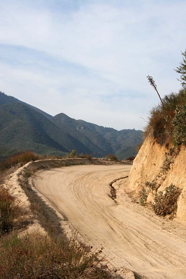
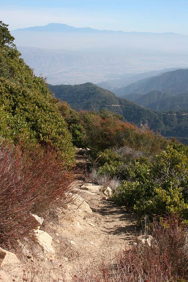
The climbing is not unrelenting as there are a few level spot here and there and at 4.1 miles the truck trail actual turns downhill and drops a little under 200 feet of elevation before putting you back into climbing mode at around 4.75 miles. It is quite refreshing to get some speed back under your feet again and working the climbing efforts even if it is short lived. There is only about 3/4th of a mile of climbing left before you arrive at the junction of the Main Divide Truck Trail at around 5.5 miles. (Point A on the map)
From here, you have the quite a few options. Here are some of the combo rides that I know of people doing using the Indian Truck Trail (ITT). Some of them are downright huge in scope.
- ITT to East Horse Thief (Never Done)
- ITT to Coldwater
- ITT to Trabuco or Holy Jim Point to Point (P2P)
- Harding Truck Trail - Main Divide - ITT (P2P)
- ITT - Trabuco/Holy Jim Loop - ITT
- ITT - Los Pinos or San Juan (P2P)
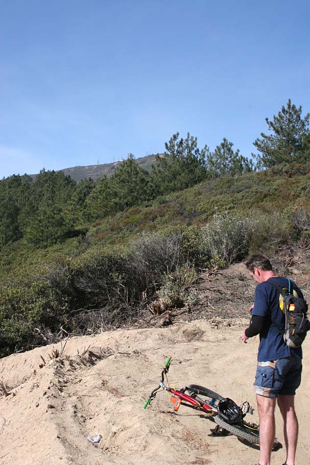
On this day the plan was to hang a right take Main Divide up to the top of the Upper Holy Jim trail. While it is only 3 miles to the to that point the last 1.5 miles can be quite mean. It was not too much work to get to the junction of the bottom of the Upper Holy Jim and the top of the Holy Jim trail at Bear Springs. Point B on the map.
The next 1.5 miles were quite tough on climbing fatigued legs. Particularly since Jerry and I were both on our gravity enhanced rigs vice our spry climber rides. This section was gravelly and combined with its average grade of 17 percent it was a grunch of work. You know you are in the right spot when you come up to a really large opening at a left hand switchback that has been chewed up by the four-wheeled drive types. Just shy of the switchback is the singletrack heading off to the right. Point C on the map. Do not jump down the trail yet. Continue to the apex and take in the great views from 4,874 feet. Including a few ups and downs you have put in about 4,000 feet of climbing to get to this point. Enjoy it and have a snack.
Upper Holy Jim and Coldwater
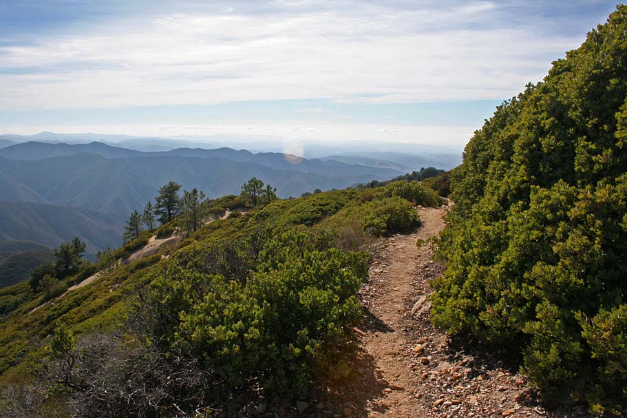
The Upper Holy Jim Trail is short but fun add-on to the Holy Jim trail. If you are doing a one of the big loops that take you over Santiago Peak, such the Harding to Holy Jim loop this is a much better way to go down than using the Main Divide Truck Trail.
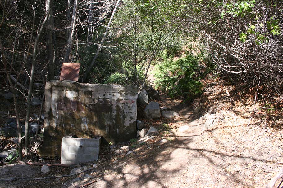
Splitting off from the Upper Holy Jim trail is the Coldwater Trail. It is no longer maintained by Forest Service and there are some private properties at the bottom of the trail that causes access issues.
To the best of my knowledge there are only a couple of single tracks going down the eastern slopes of the entire Santa Ana Mountain Range, Coldwater and East Horsethief. Both of these trails have private property access issues at the bottom. I believe that the population of the communities at the base of the eastern slopes of the Santa Ana Mountains deserve access to at least a couple recreational trails and public easements should be granted for the original (and historic) trails of Coldwater and East Horsethief.
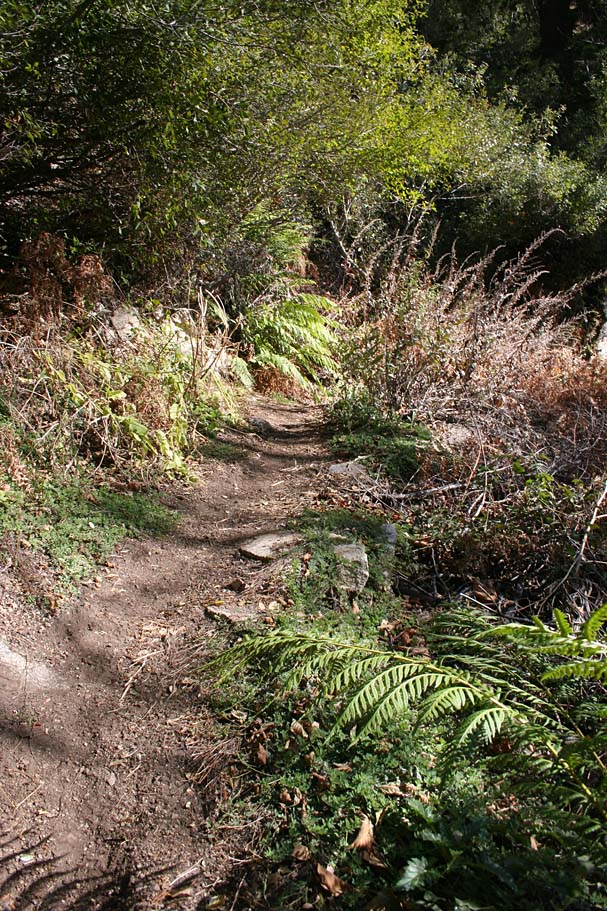
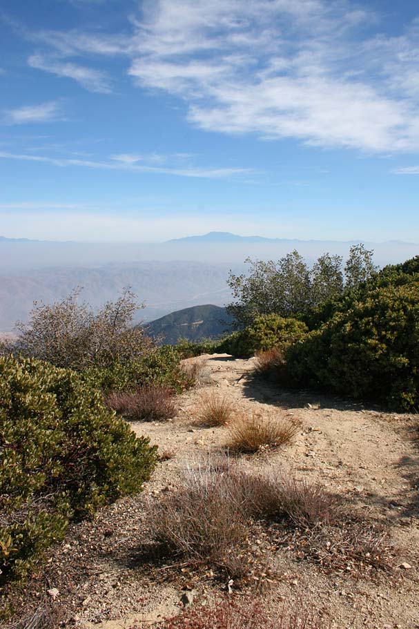
Some views from along the Upper Holy Jim trail. The picture on the
right is the split for the Coldwater trail
Some views from along the Coldwater Trail
Since Coldwater is no longer being maintained by the Forest Service and there are access issues with this trail I have not included the trail on the map. I will tell you that the trail shown on all of the USGS topographic maps is extremely hard to follow starting about halfway down and you will do some serious bushwhacking as well.