
Tour De Noble
Looking for a big ride? You want to get the full Noble Canyon experience? You think shuttling is for chumps. Well then shoppers, for the mere price of about 30 miles and 3,000 feet of climbing, you can proudly add the "Tour de Noble" to your "Been There Done That" list. This ride is a combination of several rides here on the site: Noble Canyon, The Laguna Mountain Recreation Area and the Cuyamaca to Noble route. Noble Canyon on it's own is considered a SoCal Classic and doing this route gets you the deluxe package of three distinct ecosystems including desert scrub, oak forests and alpine meadows. Done at certain times of the year you will might have to wipe some snow off of your shorts.
Directions:
From San Diego, take I-8 east to the off ramp for Pine Valley. Exit the highway and turn left. Travel north for .3 miles to Old Highway 80. Turn left onto Old Highway 80 and travel about 1.2 miles to Pine Creek Road. Turn sharply right onto Pine Creek Road and travel 1.6 miles to the trailhead parking on the right.
![]() A National Forest Adventure Pass is
required.
A National Forest Adventure Pass is
required.
Hazards: Treacherously technical trail with steep drop offs just off the trail. This is not a place to try to bring a beginner. This place can get really hot in the summertime and the lower portions are very exposed.

What constitutes "The Tour"? There are many ways to put together a Tour De Noble. Sit around a campfire at Laguna Meadows campground long enough and the topic will most like come up. After a lot of bourbon, beer and consultation with some of the "Noble OGs" we have boiled it down to three things that must be included in any varition of The Tour De Noble. They are:
- Noble Canyon:: You should do the whole thing, but bypassing the upper section from Penny Pines to the first road crossing is permissable
- Champagne Pass: You must take in the view from the pass. There are several ways to get there
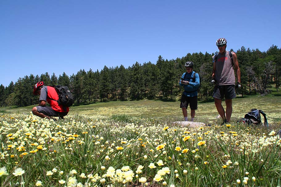
- Big Laguna Meadow: You must at least go up one side or the other
Basic Tour
Just to be clear, there is nothing basic about the "Basic" Tour De Noble. This is just the variation of the Tour the meets the mandatory elements of the Tour with the least amount of mileage and elevation. This is still a big ride that will qualify as an Epic any just about anyone's book.
The Extra Credit Start: If you are into the challenge of some technical climbing I recommend taking the trail up. You will have a 1 mile climb up to a saddle where you will some very technical spots to navigate. After this main section of climbing you get to enjoy a fun downhill section. At around 2.5 miles, the Noble Canyon trail makes a very distinct switchback turn. There is also a trail that shoots off the the west that will quickly take you to Pine Creek Road. Take the cutover trail and turn right when you hit Pine Creek Road. From there it is a 2.2 mile climb up 950 feet to the junction of Pine Creek Road and Laguna Meadow Road.
The Normal Start: From the lower trailhead go back to the road you came in on, hang a right and start up Pine Creek Road. After a little bit of mild rolling, the climb turns into a meat grinder with some really nasty pitches. At 3.6 miles the pavement will make a sharp right hand turn at a large Oak Tree. From here you will continue straight and downhill onto Pine Creek Road. This dirt road is a nice break from the climbing. At 5.1 miles you will come to the junction with the Indian Creek trail on your right. (The Deer Creek trail will be coming in on your left at the same spot, but that is another ride.)
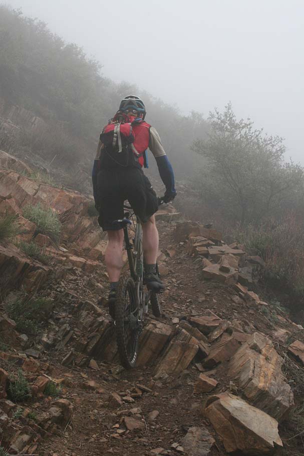
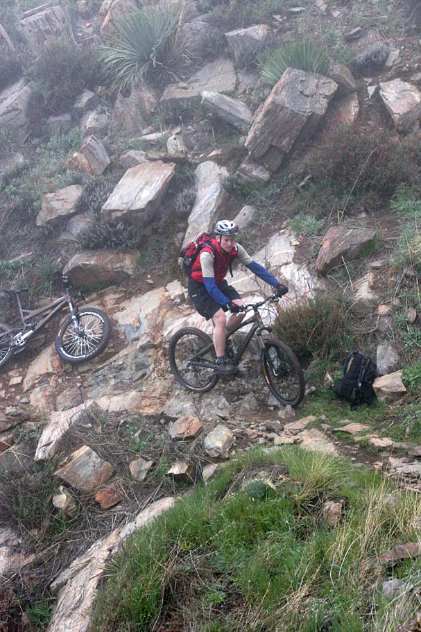
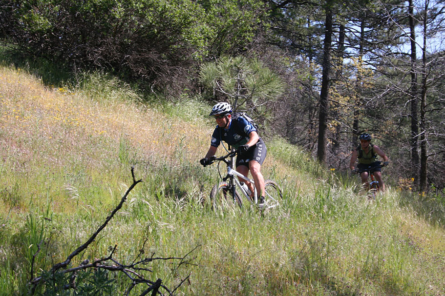
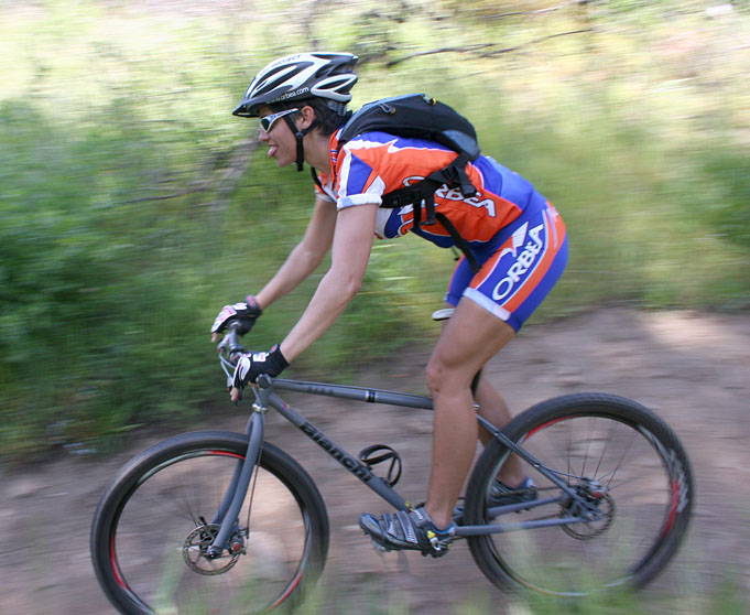
Turning right onto the Indian Creek trail starts a downright mean two-mile climb. The grade is only about 14% but the trail has many technical and loose sections that make you work even harder.
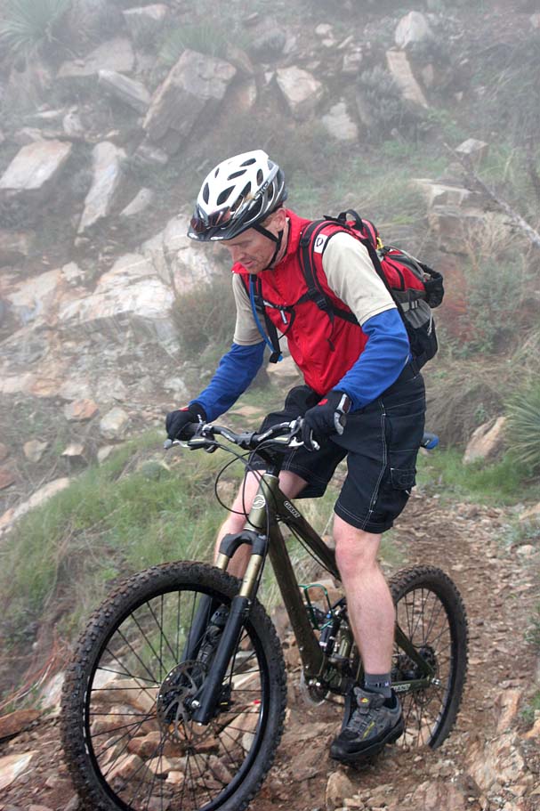
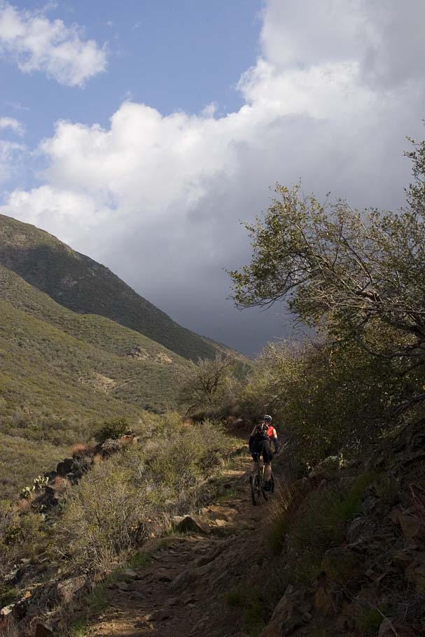
The foggy pictures below are from a socked in climb on the Indian Creek trail on April 16th, 2007. The clear one are from a ride on May 19th.
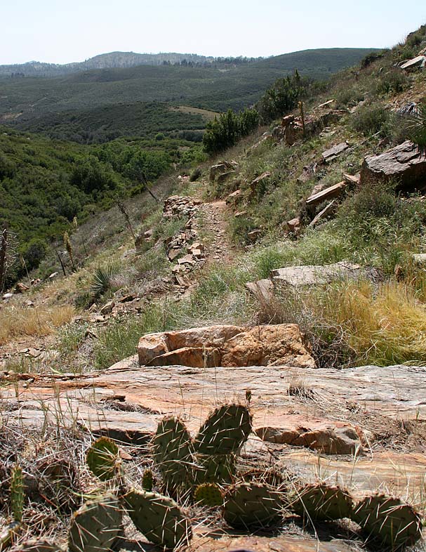
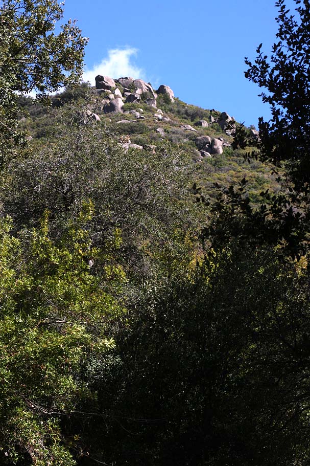
At 7.0 miles we reached Champagne Pass and the end of most of the grunt work climbing for a while. At Champagne Pass there is a four-way intersection. The trail to the left goes up to a better vantage point, Straight ahead the Indian Creek trail continues on and to your left is the start of the Pine Mountain trail.
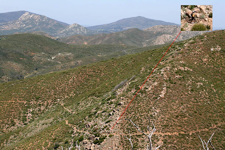
 At Champagne Pass looking west
 The Deluxe and Mega Tour options have you dropping off Champagne Pass to the east and connecting up with Noble Canyon. For the base tour you take a left onto the Pine Mountain trail where you do a little bit more climbing before we enjoying a nice and slightly downhill cruise for the next two miles. At 9.2 miles the Pine Mountain trail comes out onto the paved Sunrise Highway.
Do not be tempted to cross Sunrise Highway and pick up the Perfect Cycling Pacfic Crest Trail heading south which will take you to the Penny Pines Trailhead. The PCT is off-limits to bike. You will need to hanga right and ride along the highway (two lane mountain
road) for just under two miles to the Pine Pines parking lot and the upper trailhead of Noble Canyon. (For a quite viewpoint diversion: At the trailhead, pick up a trail on the north side of the road and take a quick 200 yard hike over to the Pacific Crest Trail where you will most likely find a stunning view of the Anza-Borrego Desert below.) Note: There is normally water at the Noble trailhead. If for some reason it is turned off you can got to the Big Laguna Campground, further along on this route. But Bill, pavement? WTH! The rationale of using Sunrise Highway is that it eliminates the descent from Champagne Pass and subsequent regaining of that elevation to get back up to Noble and into the Big Laguna Meadow. Remember this is the base route. I am a fan of the Deluxe Tour route or ignoring a few signs.
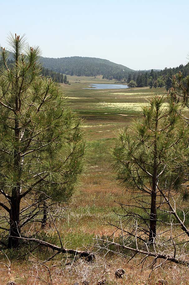
From the Noble Canyon (Penny Pines) upper trailhead parking area you will proceed south on the Noble Canyon trail for about 100 yards and hang a left onto the Big Laguna Trail (normally referred to as the BLT). From there you will have about a mile of a very gradual climb up to the Big Laguna Meadow. Just before you reach the meadow the climbing will stop. It is in this area that you will see a trail off to your right. Make note of it but you are not taking it. Continue on as you cruise down to the meadow that you should see by now. There will be a split in the trail at the edge of the meadow. Either direction is good, but for this description you will take the left fork in the trail and go around the meadow clockwise.
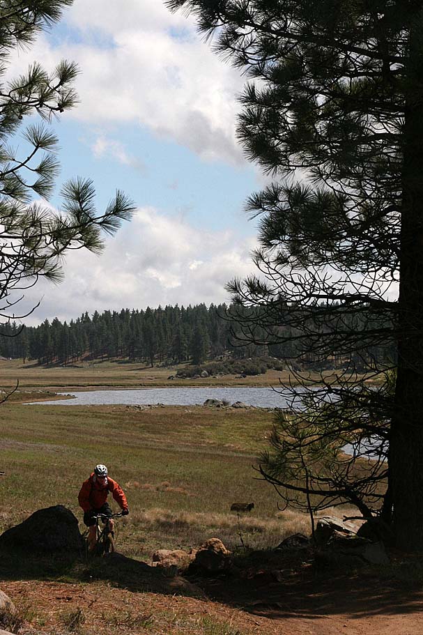
You will mostly be descending as you work your way down the east side of the upper end of the meadow. At the junction with the El Prado trail stay right to stay of the Big Laguna Trail. As you come to the lake there are several splits but bear to your right. I'm going to assume you have my route loading in some GPS app at this point and forgo every turn by turn at all the spurs. You are near the Laguna Meadows campground now and if you need water it is available there. The base tour route keeps down along the edge of the meadow. Once you make your way around the meadow you will retrace your route back to the Noble Canyon trail at the Penny Pines trailhead. From here you will take the Noble Canyon down. This "Basic" Tour route will net you right at 30 miles with 3,400 feet of climbing.
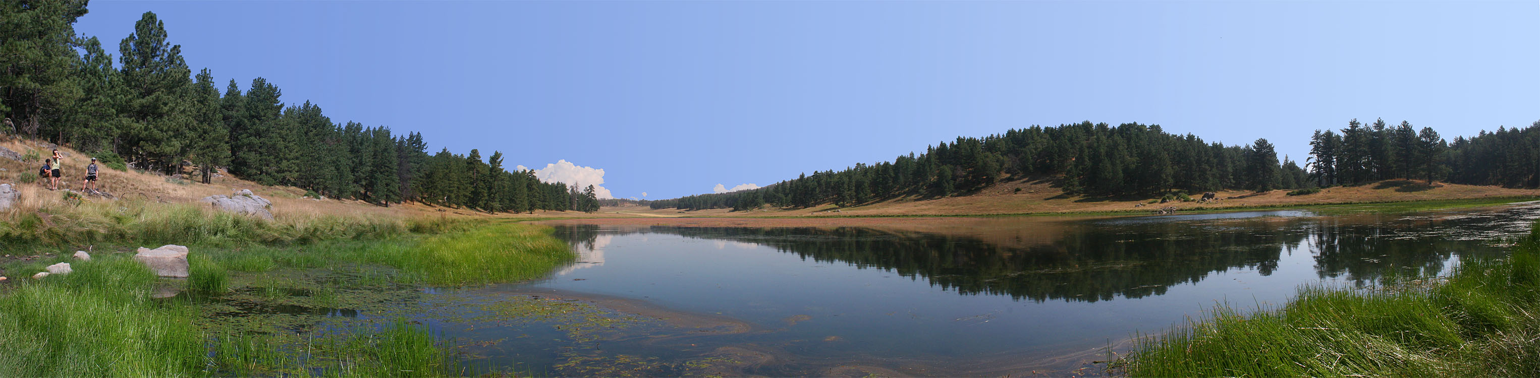
Big Laguna LakeDeluxe Tour De Noble
The deltas between the Basic Tour and the Deluxe starts at Champagne Pass where you will continue on Indian Creek trail vice turning off onto the Pine Mountain Trail. The Indian Creek Trail will descend down into a valley and then climb back out of that valley and then join up with the Noble Canyon Trail. From there you will turn left and climb up the Noble Canyon trail. At the Filaree Flat trail junction you will get on that trail and take it up to Big Laguna Meadow. You will goe down the east side of of the meadow as in base route. When you get to the south east corner of the meadow you will veer away from the beading take the Big Laguna Trail spur following the signs for Red Tail Roost. (From the meadow, its a right a first fork, left at second, left (uphill) at fireroad. The climb up Escondido Ravine Road is not too taxing, but you will have a decsion to make at the junction of with the turn off for the Redtail Roost. If you need to get some snacks or low on water you can stay on the fire road and go up to Sunrise Highway where the Laguna General Store is at. If you do go to the general store, it is easiest to regain the loop by taking Sunrise Hwy to get to the top of Redtail Roost. If you do not go to the store, enjoy the climb up to Redtail Roost. It gets steeper as you go for the first 2/3rd before mellowing out. The descent down Redtail Roost is not all downhill but it sure is a bunch of fun.
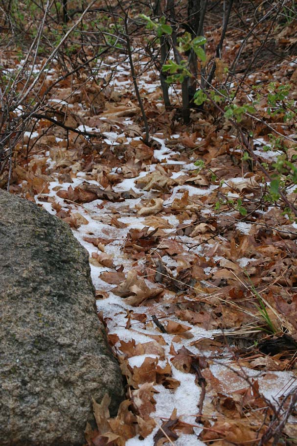
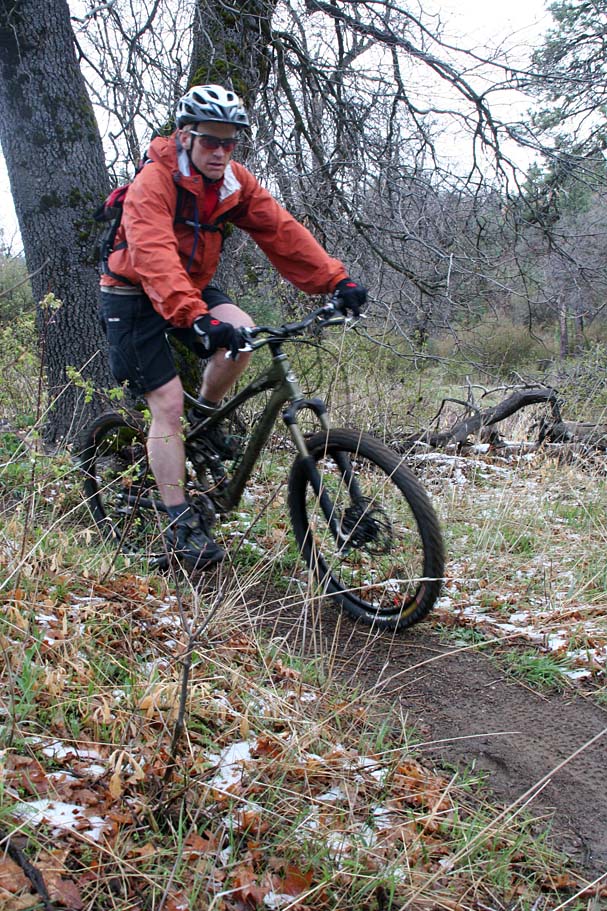
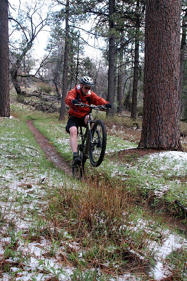

Here are some show shots of the April 16th, 2007 ride with some bits of snow above Big Laguna Meadow
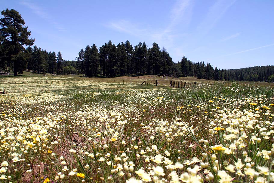
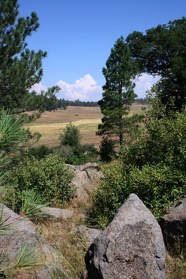
After dropping Redtail Roost you will climb up Escondido Ravine Forest Road up to the junction of the Gatos Ravine Trail. Gatos is predominately downhill and is a much of fun with nice nature features here and there to keep things interesting. Gatos Ravine with bring you back down to the meadow where you will continue around the meadow clockwise using the Kemp Spur, Water of the Wood and Meadow Spur. Come out here in the spring and the meadow and you may find the meadow is superbly sublime state.
At the top of the meadow you will come to the junction you were at earlier in the day. Hang a left and the take the Big Laguna Trail over to the upper Noble Canyon Trailhead aka Penny Pines. From you turn left and do the Noble Canyon Trail. By the time you finsh off the Noble Canyon Trail you will have around 35 miles with 4,500 feet in your legs.
Mega Tour De Noble

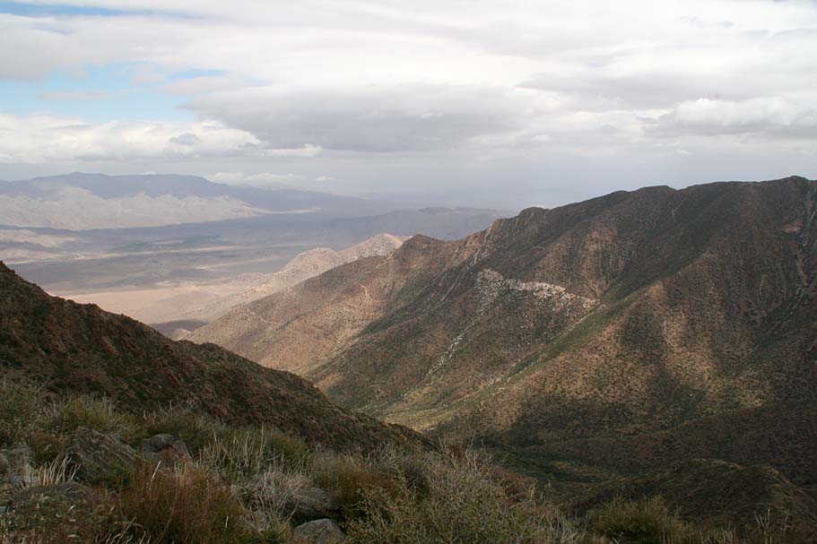
I have yet to met anyone who does not think this is a big day on the bike. Some won't do all of this in a weekend of camping in the Lagunas, let alone in in one ride. I going to work off the assumpation that you are already familiar with the area or you are being shown around. The first change up from the Deluxe Tour is you go down the west side of the meadow vice the east. You will climb up out of the meadow using the Chico Ravine trail up to the old county road. You will pass by the Wooded Hills trails (for now), cross Sunrise Highway and pickup up the Observe A Thing singletrack and go up to a UCSD observatories for some cool views to the east and down into the Mexico in the distance. From there you will get back onto Observe a Thing and take it down to the junction of Thing Valley forest service road. (Be careful to not hop onto the Perfect Cycling Pacific Crest Trail at this junction.
 Climb Thing Valley Rd up to Sunrise highway for a very quick right then left into the Redtail Roost staging area. After dropping Redtail Roost you will climb up Escondido Ravine and pass (for now) the junction of the Gatos Ravine trail. You will climb the upper portion of the Old County Road for a second time where you will now pick up the Wooded Hills trail for a climb followed by a wonderful descent commonly referred to as "The Luge". That trail will pop you further down the Old County Rd where you will turn right and climb it back up to the top of Gatos Ravine where you will then take it back down to the meadow, Once you hit the meadow you will turn right and continue around the meadow counter clockwise. When you get to the top of the meadow you take the Big Laguna Trail over to the Penny Pine trailhead where you will then start the Noble Canyon trail. At the end of this ride you will have about 44 miles with 5,300ft of climbing. WOWZZA!
Noble Canyon Notes
From the upper trailhead Noble Canyon starts off with a bit of a climb up a couple hundred feet up to 5,531ft before you start a fun bit of descending until you pass the junction with the Filiee Flat trail. Shortly after that you will have a lesser climb to do before getting back on the descent passing the Indian Creek trail on your right. Below Indian Creek you get things get fast smooth and flowy for a while.
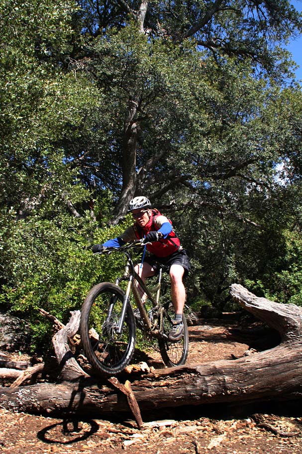
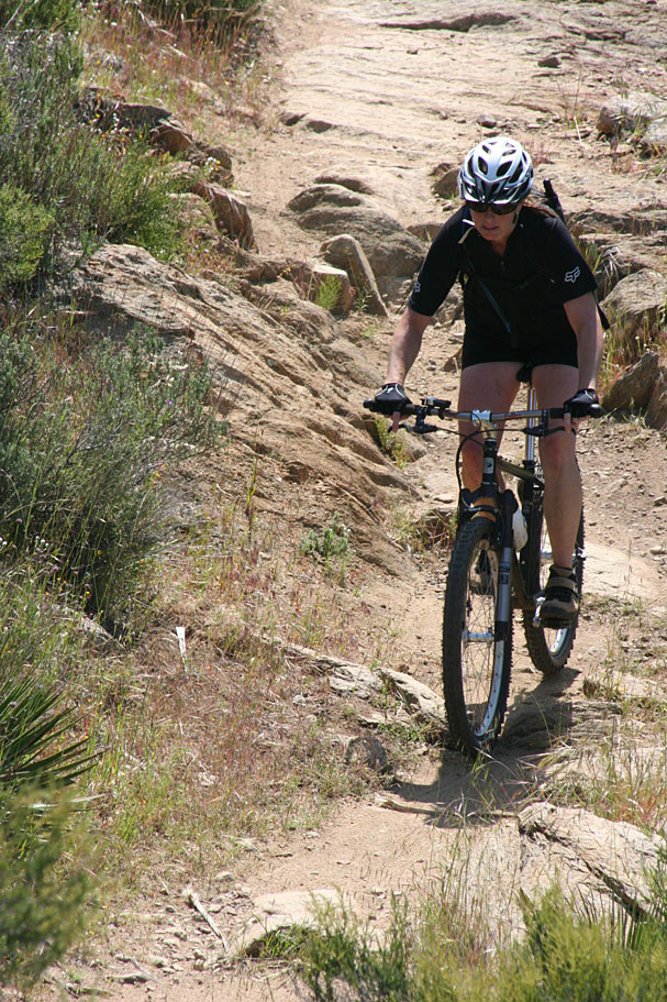
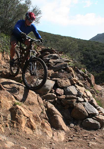
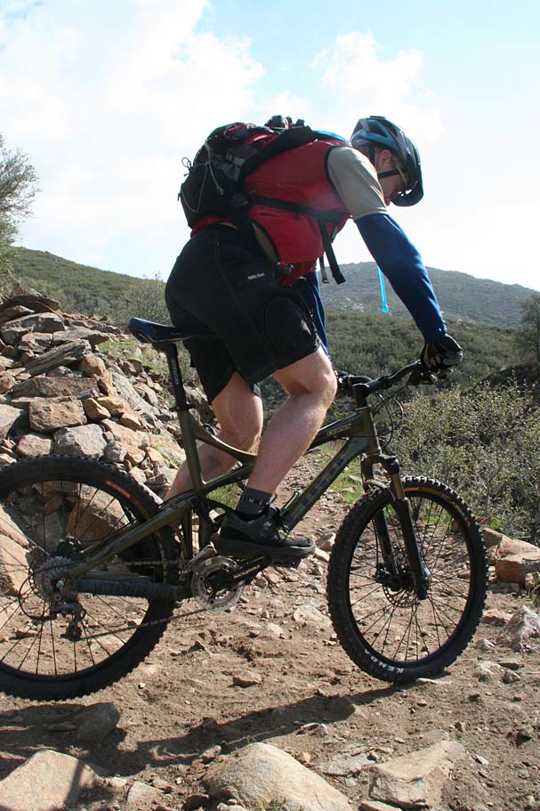
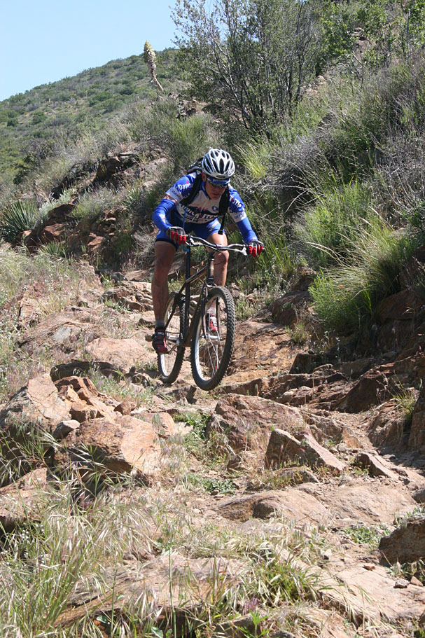
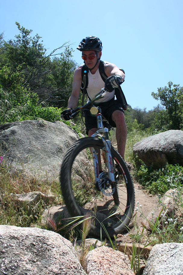
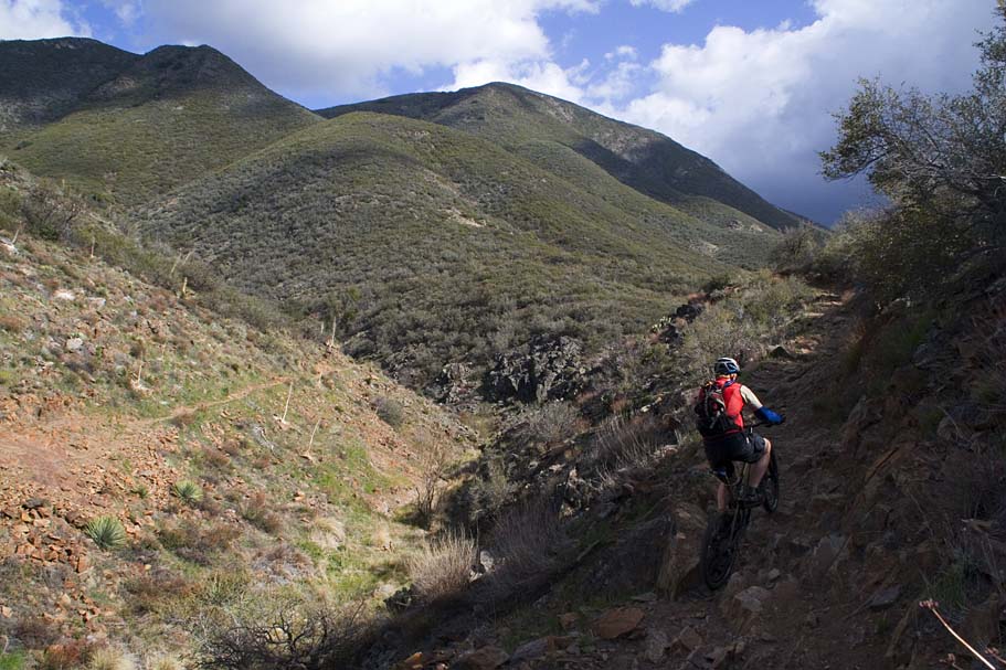
You will come to a couple of switchbacks where the trail changes dramatically from forest to chaparral. Also the trail starts to get rockier and more technical. At the first creek crossing you will encounter the first really technical rocky outcropping. After this section you have a long descent that is packed with drops and rocks that requires good bike handling skills. Speed can be your friend here.
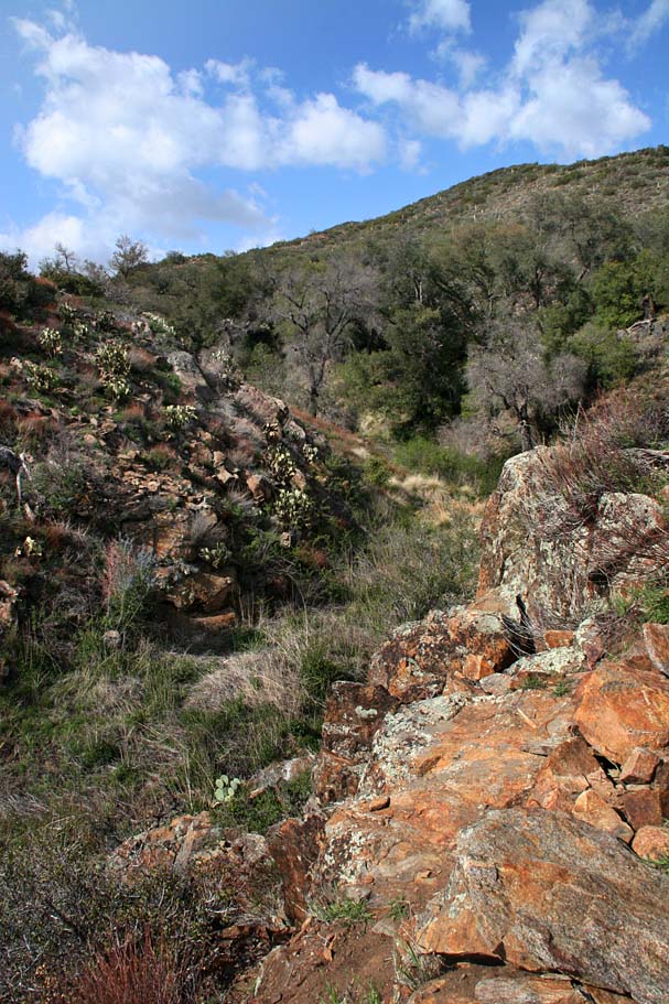

The terrain continues to change the further down you go. Before too long you leave the chaparral and find yourself in desert scrub. The trail is very narrow and the penalty for failure can be quite steep if you screw up in the wrong spot. Sections of this trail have garnered names like Widow Maker, Barney Rubble and Dragon's Back. One such section is known as the "Stairway to Hell". There used to be no "line" per se through this section, but over the last decade or so a line on the lower side of the trail has developed. Those bunch of rocks all over the place on the upper side of the trail is the orginal line. Speed and good weight transfers are the name of the game here. I don't feel the need to decribe the mileage or location. You will know it when you get there.
A ways down from Stairway To Hell, Noble Canyon makes a sharp left hand turn (nearly a switchback). A fainter trail heads off to the right and out to Pine Creek Road. If you did the extra credit start earlier in the day you should recognize this spot. From this spot you will stay on the Noble Canyon trail by going left where it will soon cross a creek that marks the start of a mild 1.5 mile climb. I use the term mild with caution as most folks will be feeling at least a wee bit whopped at this point and this "mild" climb can really stick it to you. This is particularly the case in the summer when you will be in the full afternoon sun by this point in the ride.
From here you will be cruising downhill again and in about half a mile you will come to a split in the trail that is signed showing Noble Canyon continues to your right. Go right and enjoy a bit of swooping back and forth turns as you work your way down hill. The last half mile of the trail get pretty technical with lots of rocks to go up, over, around and various combinations of all of them. There is plenty of oppurtunity for an Endo with a fresh mind and body. At this point on any version of The Tour De Noble, it is a challenge to keep things together. The trail will soon roll out into the lower trailhead parking lot where you hopefully have a cooler with some well earned refreshments waiting to celebrated the latest finishers of the "Tour De Noble".