
Laguna Mountain Recreation Area
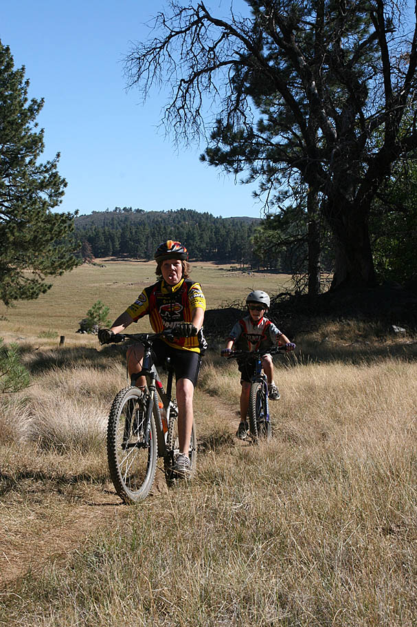
The Laguna Mountain Recreation Area is located in the Descanso District of the Cleveland National Forest 50 miles east of San Diego. It was designated a National Recreation Area by Presidential proclamation in 1926. Most of the trails are very buff single track with picturesque scenery. The trail system out here is a great place to introduce beginners to "real" trails. I think that if you are looking to get someone to fall in love with the outdoors and mountain biking you would hard pressed to do better. With mulitple campgrounds nearby you can introduce beginners to mountainbiking without having to make a big commitment out of the gate. Additionally the trail system is great for connecting other trails together for some truly epic rides. This area is quite often combined with Noble Canyon as a point-to-point route. There are also options to connect with the Cuyamaca Mountains to the west and of couse this area is part of the famed Tour De Noble. There is now shortage of good scenery, miles of smiles and some burn in quads if you want it.

Cell Coverage: Cell coverage can be sketchy with most carriers in this area so make sure you off-line your maps and other resources you will need on this ride.
Trailheads and Directions
- Meadow Kiosk (South End of the Recreation Area): From San Diego, take I-8 east 45 miles to the off ramp for Sunrise Highway. Take Sunrise Sunrise Highway and go up the mountain. About 1/2 mile after entering the Laguna Recreation Area you will see the Meadows Information Kiosk off the right side of the road just past mile marker 19. Park somewhere along the side of the road here. A National Forest Adventure Pass is required.

- Penny Pines (North End of the Recreation Area): Follow the same directions above but continue on Sunrise Highway past the Kiosk for about 6 miles to the Penny Pines/Noble Canyon Parking area about a 1/4th a mile beyond mile marker 27.5
- The Redtail Roost (Laguna Mountain Volunteer Center) is about 3.5 miles past the Meadows Information Center on the west side of the road.
- The Laguna Camground is 2.5 miles past the General Store.
Basic Meadow Loop
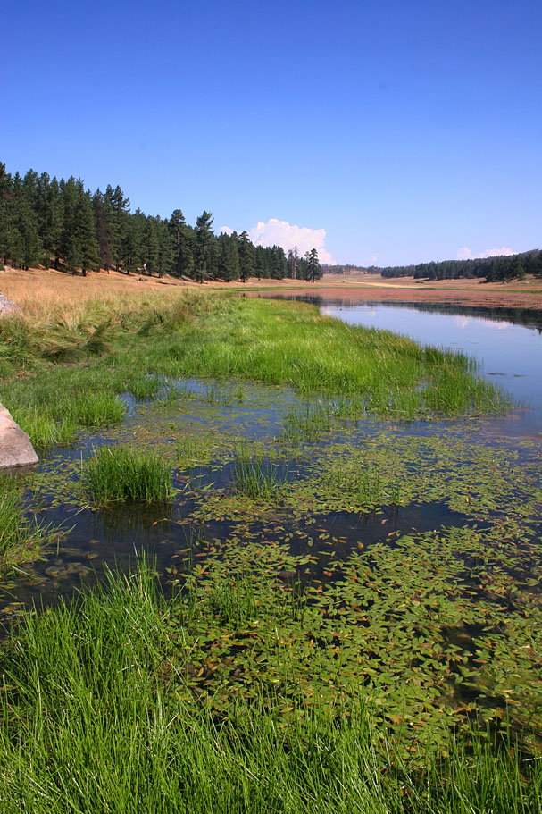
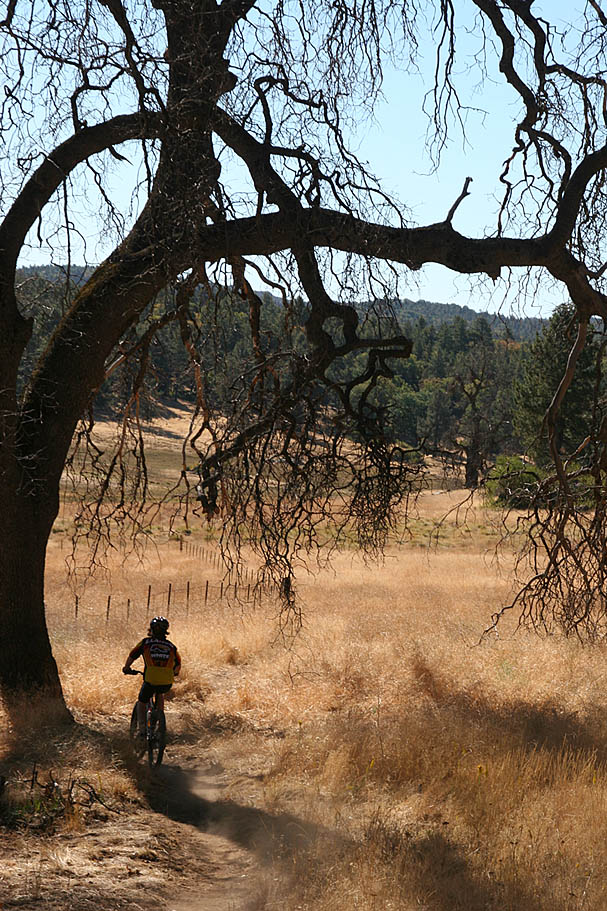
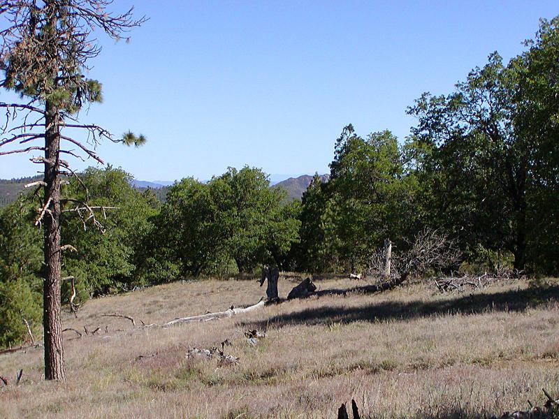
No shortage of good views
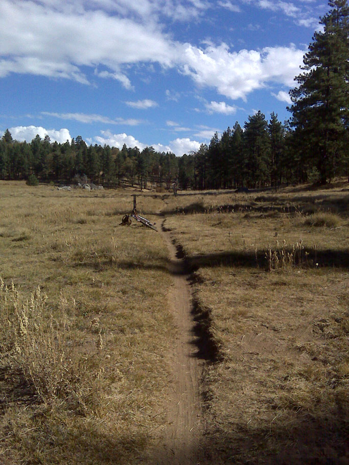
Somewhere along the meadow
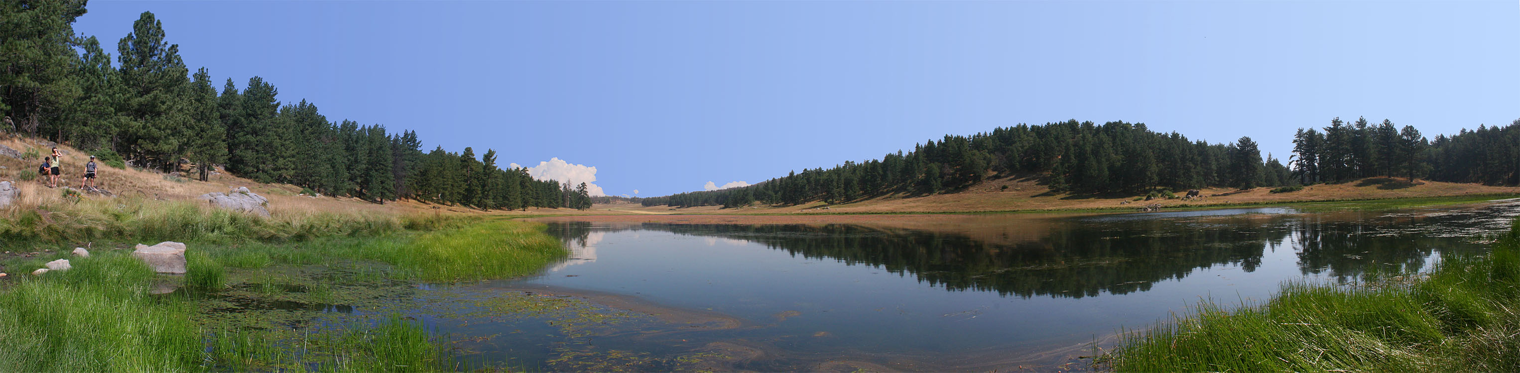
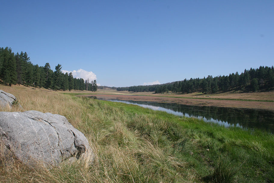
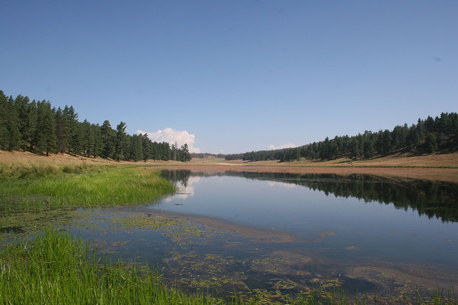
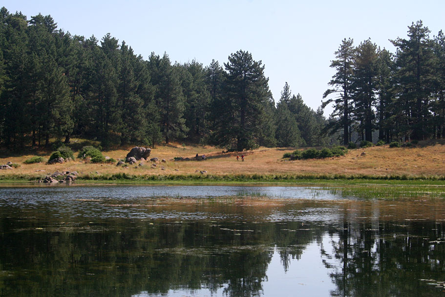
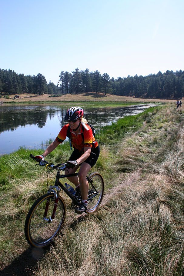
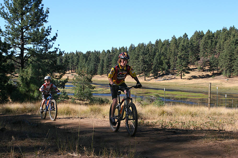
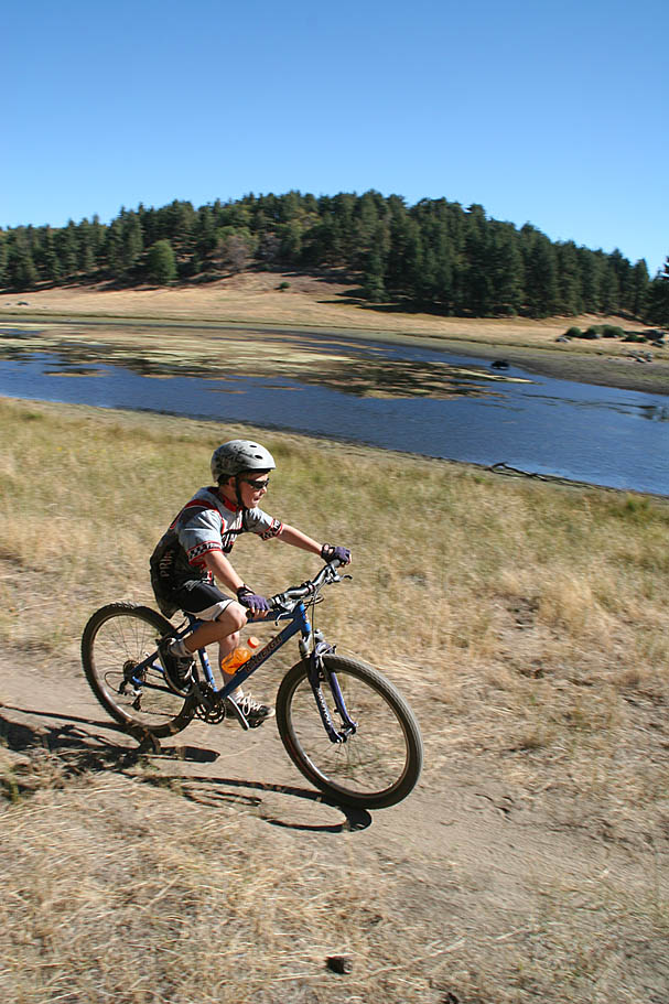
Big Laguna Lake
When it has water in it
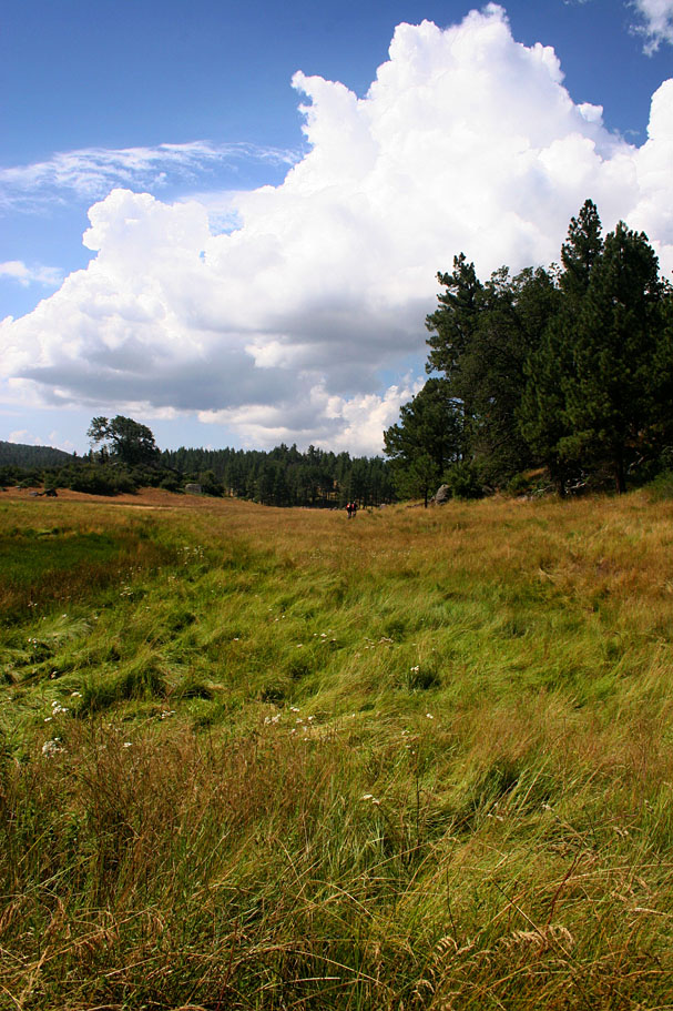
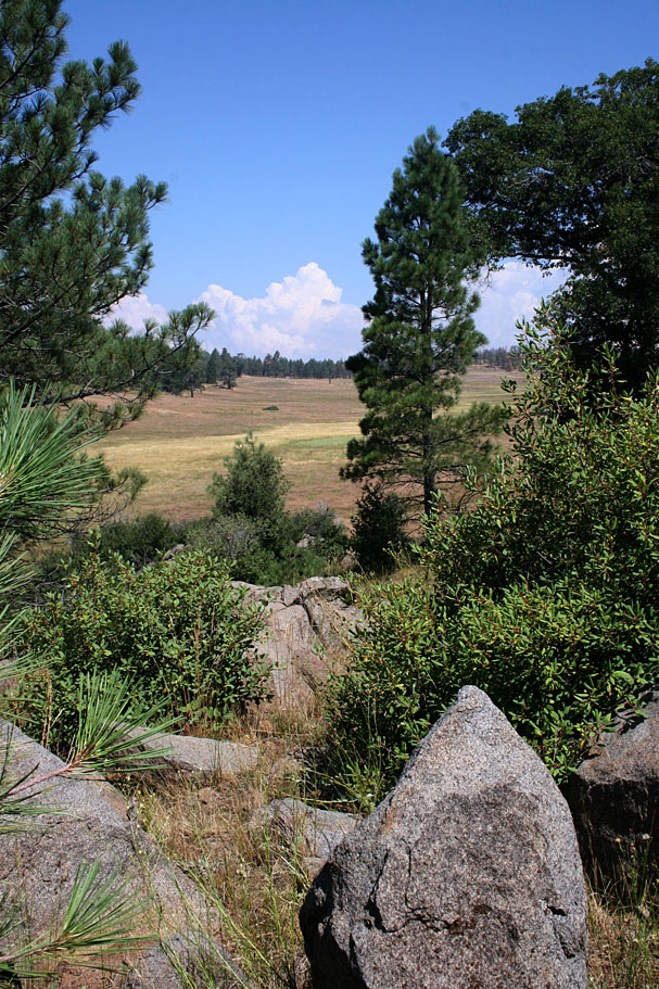
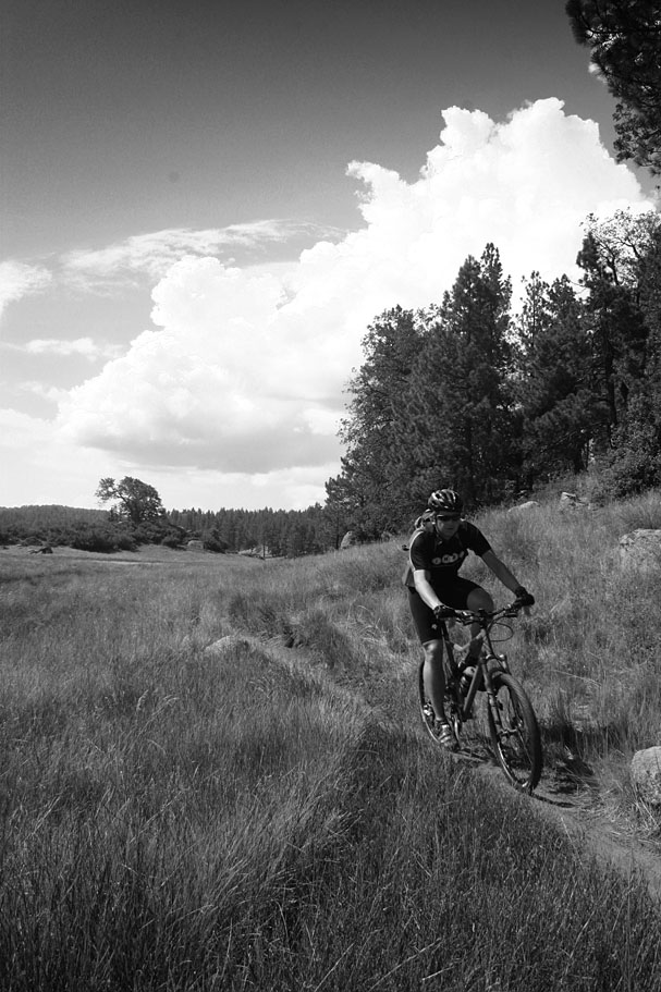
Summertime brings on some awesome clouds
You can often watch the form
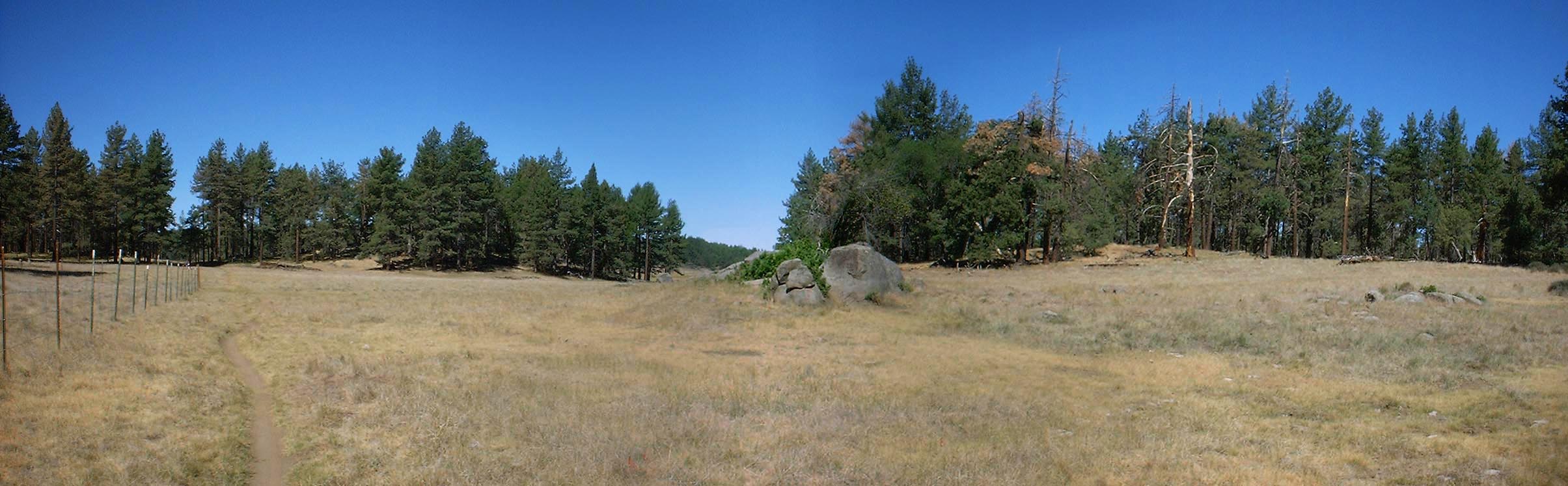
The Laguna Meadow
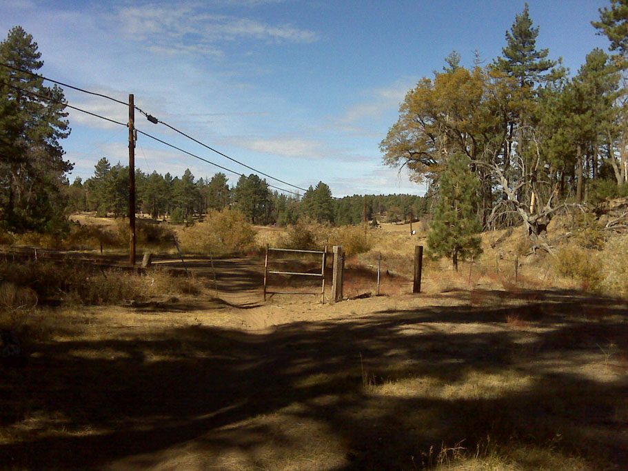
Meadow and Gatos Ravine
 For this 12-mile loop, you will start from the Meadow Kiosk like the Meadow Loop as described above except you you will be going around the meadow counter-clockwise. Heading north from the trailhead you will pass a connector on your right followed by the Sunset trail on your left. You will turn right at the next junction and take the Kemp Connector down into the meadow. After going over the cattle guard turn right and continue along and then across the meadow. At your next junction at a fence line corner, turn left and proceed north/counterclockwise around the meadow. At 1.4 miles you will pass the bottom of the Gatos Ravine trail. Make a note of this as you will be coming out here later. Continue along the meadow for about 3/10ths of a mile into a "corner" of the meadow where you will come to another intersection. Take the intersection to the right that heads away from the meadow. You should notice that this trail is signed Big Laguna Trail "To PCT". Following this trail it will not take long (less than a quarter mile) before you come to another marked fork in the trail. Take the fork to the right that says "To Aqua Dulce". Continuing along just a little farther and you will see yet another marked fork in the trail. Take the fork to the right.
 This singletrack will do a couple of twists and then come out onto an old dirt road(Aqua Dulce Rd). Continue uphill on this old road. You will pass a junction with another old dirt road on your left as you climb. This is now Escondido Ravine Rd. The shaded climb is mild until it makes a sharp right hand turn where is gets much steeper for a short bit. At 3.6 miles you come up to the junction the Wooded Hills road and the Gatos Ravine Trail.The Gatos Ravine trail is a very fun bit of singletrack. There is a slight rise in the trail earlier on that goes up to a fantastic veiwpoint where on super clear days you can see downtown San Diego and Pt Loma. Continue on the Los Gatos passing the junction of the Chico Rivine connector on your left at 3.9 miles. The rest of the Gatos Raveine trail is very flowy with a little bit of tech and some nice optional features to play on. Once the trail comes out onto the meadow, take the Kemp Spur trail (aka as just the BLT) right and we you get back to the corner of the meadow turn left this time to proceed around the meadow counter clockwise. The rest of teh route follows the Meadow Loop described above in reverse.
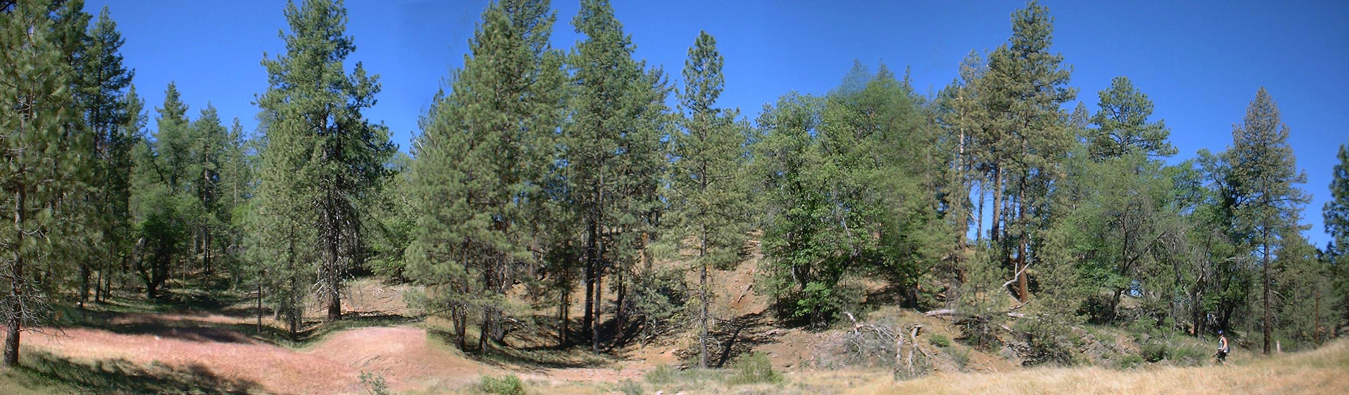
Another meadow pan shot.

If you cross sunrise highway there is a quick 200 yard hike from the upper trailhead over to the Pacific Crest Trail which offers a stunning view of the Anza-Borrego Desert below.
A BLT Full Tour
Most people will get a bunch of mileage in this area by connecting this area with Noble Canyon and/or the Cuyamacas. Once you get to know the area there are some stupidly huge rides you can put together. You don't have to leave the area to get in some sizable riding. The loope described here is solely within the Laguna Mountain Recreation Area. It is around 21 miles long with 2,000 feet of climbing. This is just one route of numerous combinations you can do in this area. (Most of the pictures in this section are from a 2007 camping trip)
 Follow the basic meadow loop as described above clockwise from the kiosk. When you get to the top of the meadow at 3.6 miles turn left (north) and take the Big Laguna Trail for a nice zippy run over to the Penny Pines Trailhead and the Noble Canyon trail. You will then take the uppermost section of the Noble Canyon trail for a bit of climbing followed by a bit downhill zipping. At the junction of the Filaree Flat Spur (just shy of 6 miles) turn left (east). If you cross the paved Pine Creek Road you missed your turn. The Filaree Flat Spur will take you back to the Big Laguna Trail where you will hang a right and then head down the east (leftside) of the meadow. You will continue along the eastside of the meadow as described in the basic loop until you get to the corner of the meadow at mile 9.
 At the corner intersection take the trail heading east away from the meadow. You should notice that this trail is signed Big Laguna Trail "To PCT". Following this trail it will not take long (less than a quarter mile) before you come to another marked fork in the trail. Take the fork to the right that says "To Aqua Dulce". Continuing along just a little farther and you will see yet another marked fork in the trail. Take the fork to the left that is marked "To Redtail Roost". This singletrack climbs a litt more in earnest through the dispresed trees. Ignore a couple of fainter trails off to your left along this section. (The first one is a shortcut to the PCT and the second heads up to Los Huecos Rd) before coming onto a forest road at 9.9 miles.
 Follow the fire road (Escondido Ravine Fireroad) uphill. The road is little rocky but you have some shade which is nice. At just under 10.5 miles you will come to a normally locked gate with a path around it. Go around the gate and you will be at an intersection of fire roads (BLT-20 on my old school map). You should also notice some USFS cabins in the area.
There are two ways to get to Redtail Roost from here. The first option below gets you close to the General Store if you need supplies or water. The second option is a little tougher but it much more interesting. This route is for the second option
- You can stay on the fireroad you are on for another 0.6 miles until you reach Sunrise Hwy (And the general store) where you will turn right and travel another 0.7 miles along the road to Redtail Roost.
- You can hang a right at this intersection (BLT-20) and travel of this fireroad. For the first half-mile you climb up a somewhat steep but interesting fireroad nestled under hardwood trees before you rest the end of the fireroad and singletrack continues on from there. The first bit of the singletrack is also steep but soon mellows out from some nice climbing in the woods. The singletrack come out right next to the parking lot of the Redtail Roost Volunteer Center parking lot at 11.3 miles.

 Just before you come out into the parking lot (which you will see), you will come to a fork going off to your right and back into the woods. You will be going on this trail. (If you took the route up to the general store you will be coming through the parking lot) For this route hang a right and continue along the Redtail Roost trail. You will have to do a bit of more of climbing on the ridgeline before topping out at 6,050 ft riding before the trail turns in the downward direction for the better part of it's 1.7 mile length. It does have some rocky loose sections but intermediate riders should do fine if care is taken. I think the Redtail Roost trail is a special section of trail and I am pretty sure you will think it is worth the extra effort required to get to the top of it.
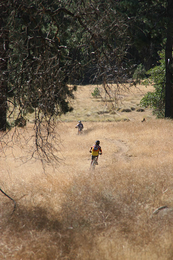
 The Redtail Roost singletrack will come out onto a fireroad (Escondido Ravine Rd) where you will hang a left and continue downhill. At the next junction you will hang a left and enjoy a gradual forested climb. At 14 miles you will notice to singletracks coming in from your left right near a sharp righthand turn in the road as it also steepens up sharply. Continue upward on Escondido Ravine Rd. This climb will lead to the junction with the Old County Road and the upper junction of the Gatos Ravine Trail. For this route we are not going to do Gatos Ravine just yet. Instead bear left (uphill) and continue up the old paved road (This is the Old County Rd, but some online sources refer to it as Wooded Hills Rd). At 14.75 you will pass around a gate and the Aqua Dulce Equestrian staging area as you continue climbing up the old road. At 15 miles you will come to the Wooded Hills trailhead where two singletracks about 30 feet apart head off to your right.
 One of these singletracks is open to bikes and the other is not. The first one on your right is open to bikes. Over the years I have seen no-bikes signs on one, the other or both. Things get confusing as these trails cross one another about a third of the way up the hill. The bike tracks on both trails further lead to the confustion. For this route take the first trail and climb on the well worn singletrack. You will soon come to the junction of the other trail. Now turn right onto the other trail and proceed counterclockwise around Wooded Hill. You gain some elevation but do not go over the summit. On the west side of the hill you will come to the junction of another trail coming downhill from your sligh left. You will continue straight NOTE:The trail coming down from your left is the trail you turned off of on the other side of the hill. So if you forgot to turn right you would have went over the summit and through some techy goodness to get to this spot. After this junction point you are on an old double track as things get flat to slightly downhill. The double track will make a sharp left hand turn while the Wooded Hills single track shoots stright ahead. Roll onto the singletrack and enjoy a mighty fine bit of flowing swoopy downhill trail bliss for the next mile.
 The singletrack will popout in the turn of the Old County Road. Turn right and start climbing up the old road. You will climb for a mile passes the Chico Ravine trail on your left about halfway up. This will bring to the junction of the Escondido Ravine Road and the top of the Gatos Ravine trail you were at earlier. The sign is is labeled "To Chico Gatos Ravine" This is one of my favorite sections of trail out here. You will do just a short bit of climbing before the trail turns downhill with lots of twisting flowing fun. On a clear day you will be treated to some great views of the the Cuyamaca Mountains to the west and beyond. On superbly clear days you can see the Pacific Ocean, Point Loma and Silver Strand. After about a mile you will come to a split in the trail (BLT-17). To the left is a connector to Chico Ravine but you will stay to the right and continue on the Gatos Ravine Spur. You will get to enjoy another 3/4ths of a mile of Gatos Ravine goodness before the trail comes out onto Big Laguna Meadows and joins the main loop at at a T-intersection.
 Turn left at this junction. The trail will soon turn to south and go out onto the meadow. Your next trail junction will be at the corner of tha fence. The trail straight ahead goes up Chico Ravine, but for this route you will make a hard right and continue across the meadow. Early in the year, this section on the meadow can be bit mushy. After about 1/4th of mile there will be a trail junction at cattle gate in the fence. This cattle gate is one that prevent cattle and maybe horse from going over, but bikes and people can over. (You should have right at 7 miles on your wheels at this point) Take this trail and start nice little climb out of the meadow. This trail will take you up to the initial trail you came in on. Hang a left and roll back to the trail head.
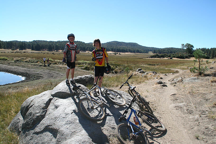
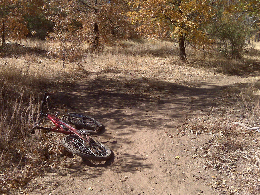
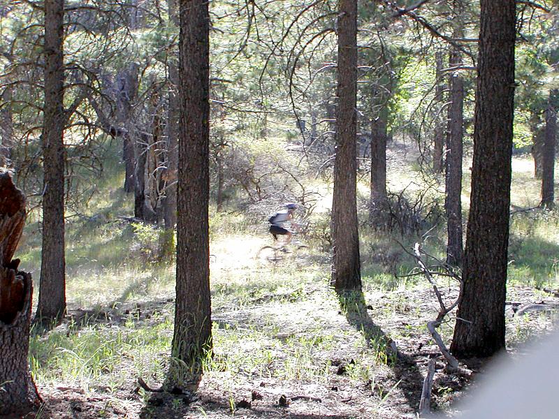
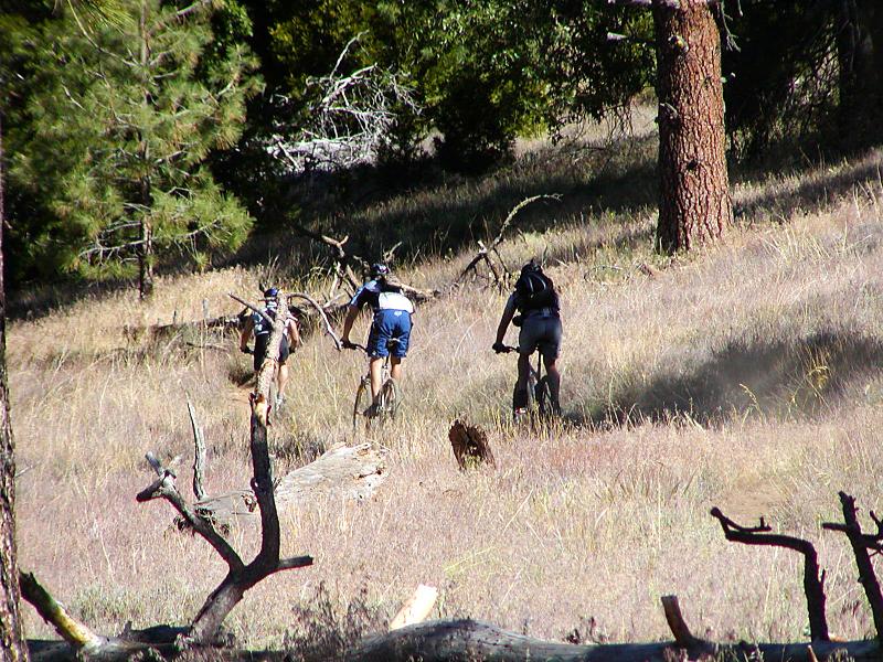
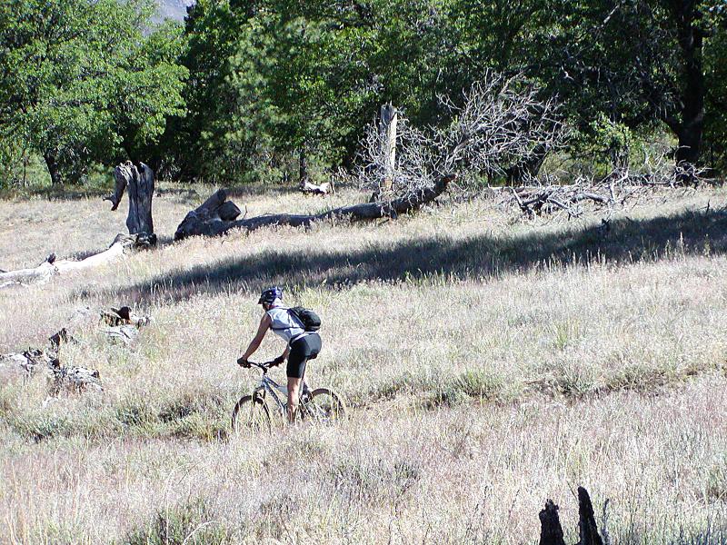
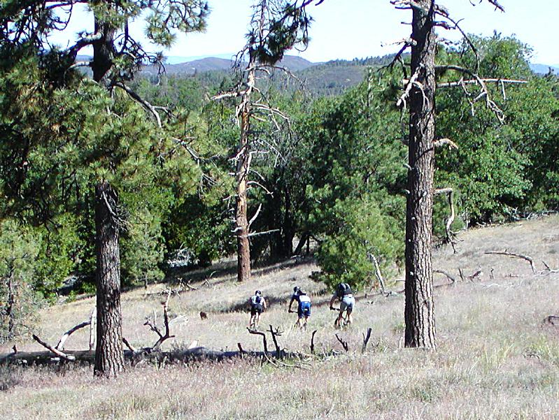
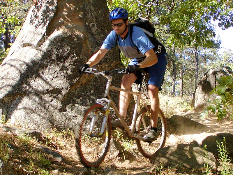
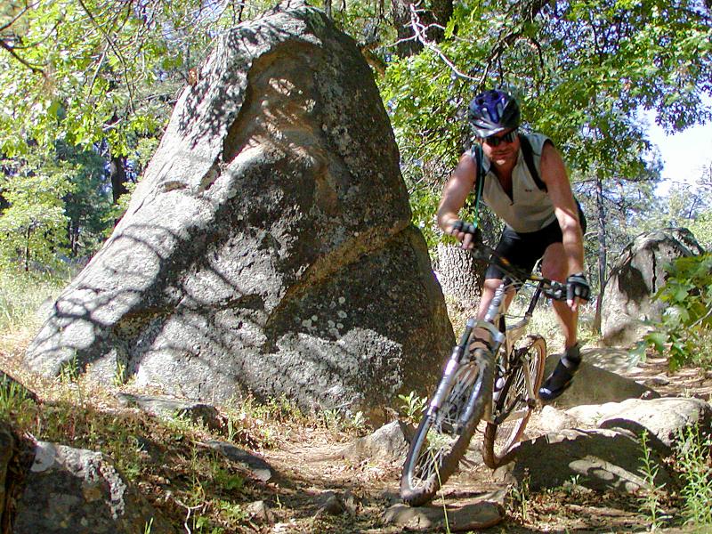
Some Circa 1999 Photos
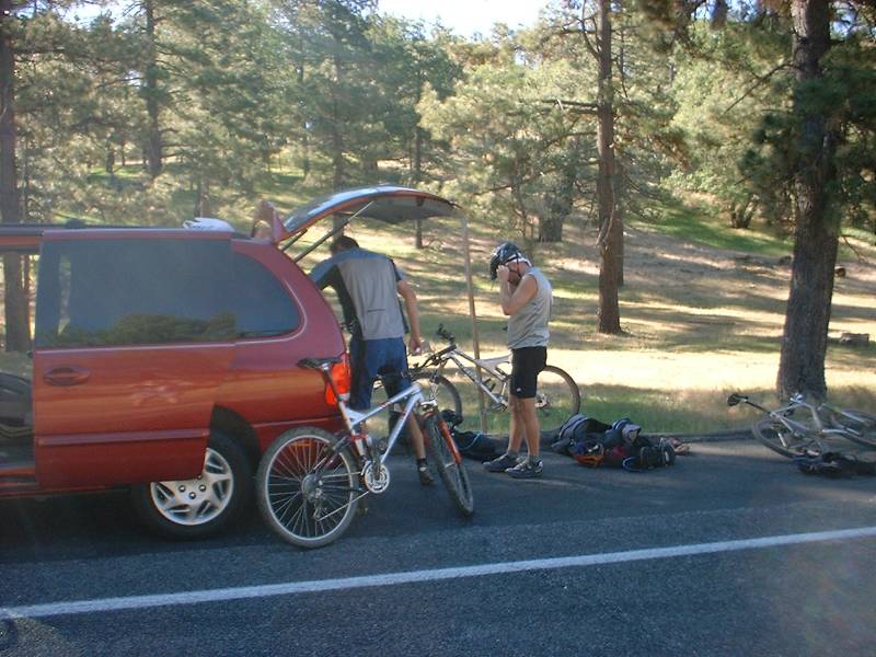
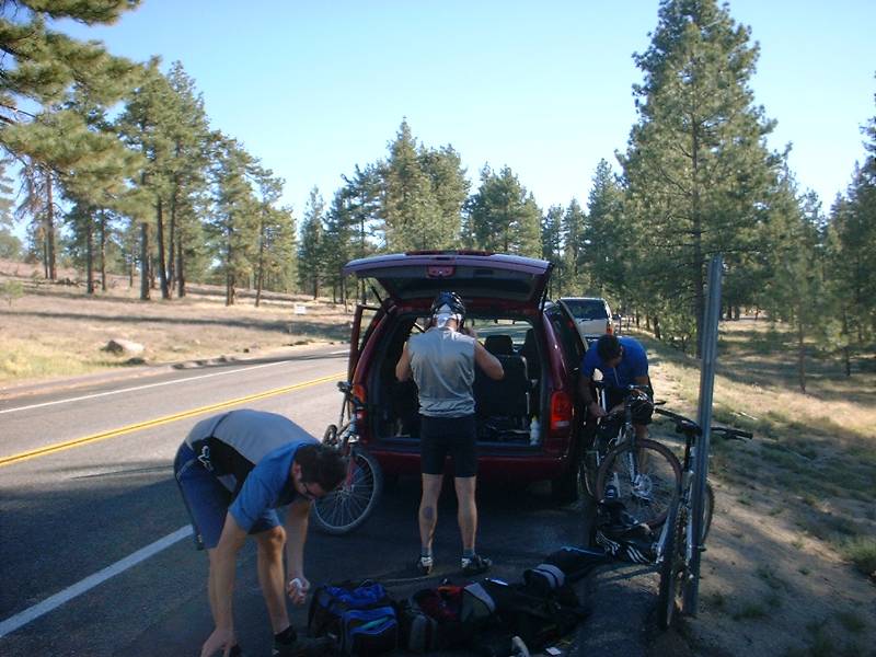
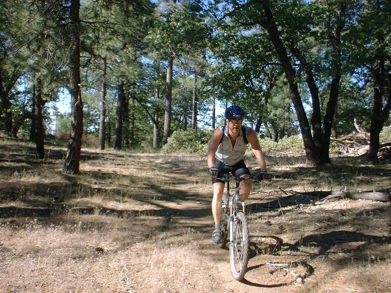
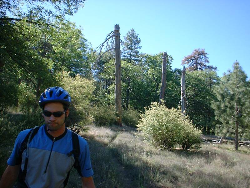

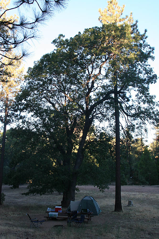
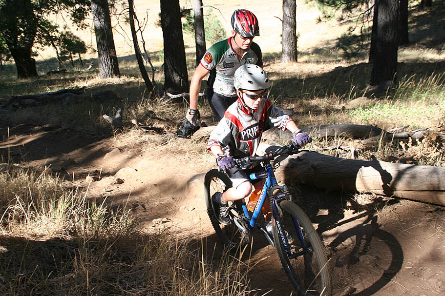
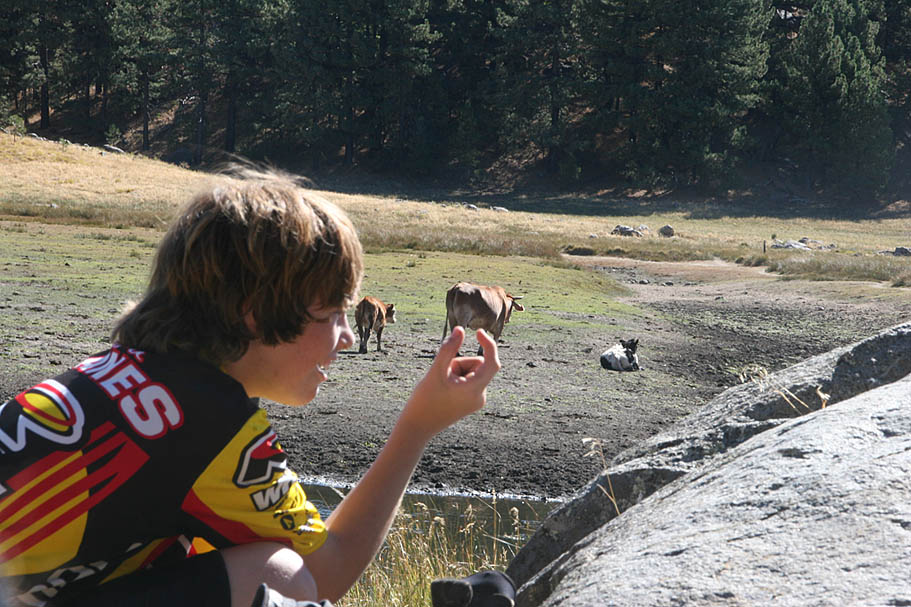
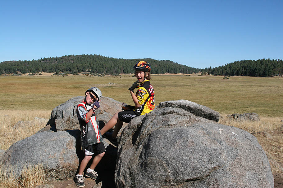
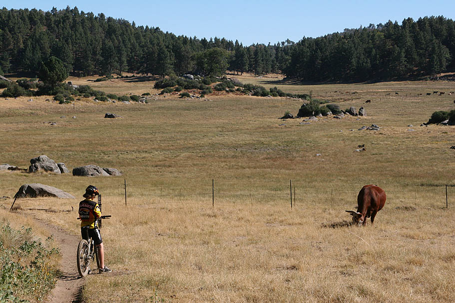
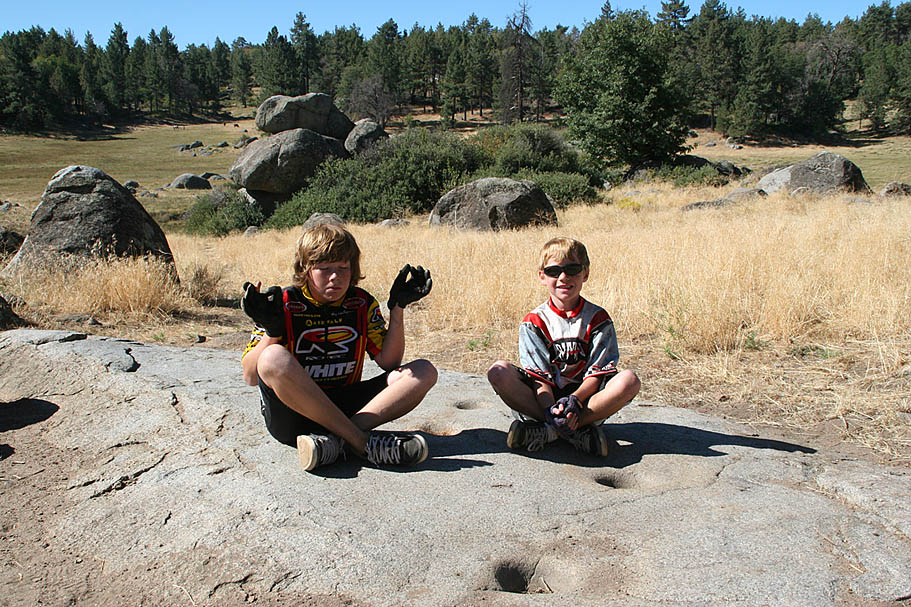
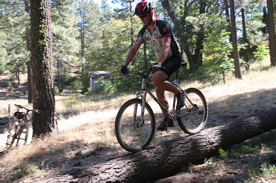
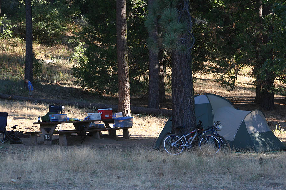
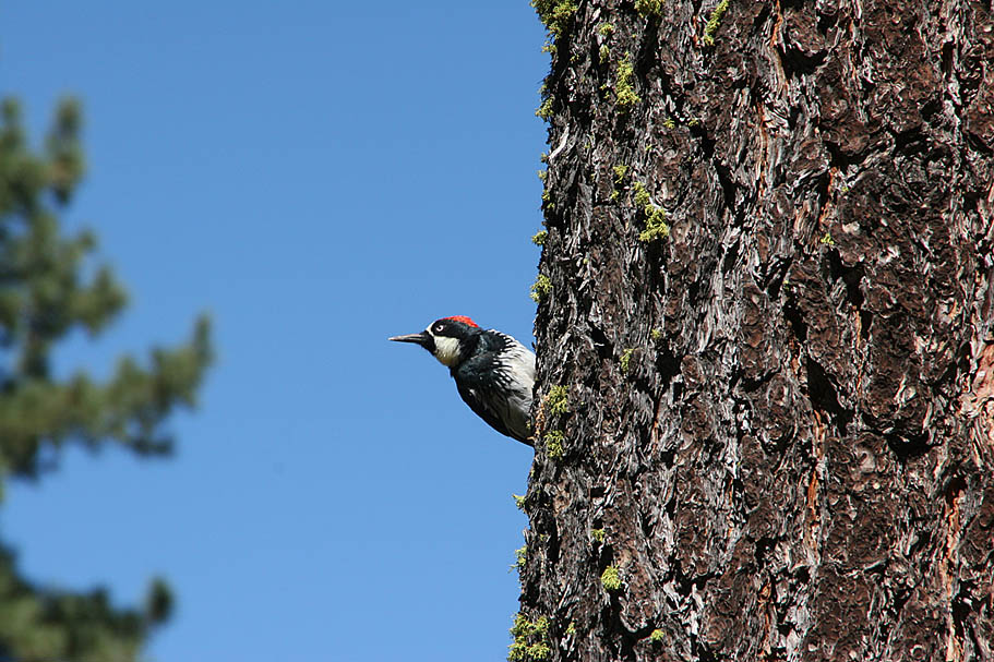
Additional 2007 Camping Pictures

History from 2008
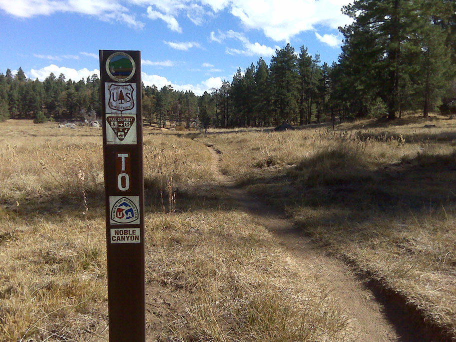
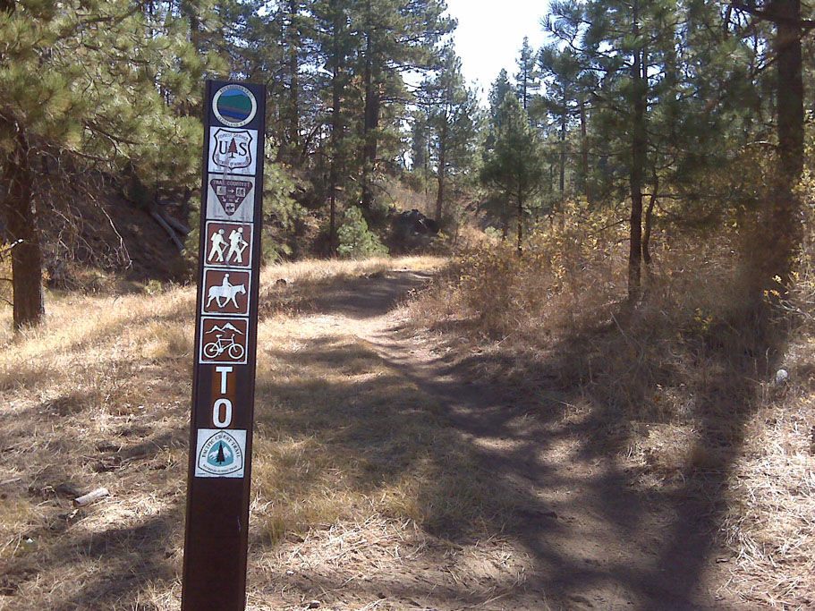
 In 2008 most of the "non-system" trails in the area that had been in use for many years have were fully legitimized and/or offically signed. The San Diego Mountain Bike Association and the Descansco District of the USFS have a long-standing good relationship that is working to the benefit of all the trail users in this area. Prior to this the "Big Laguna Trail" and one of the Wooded Hills trails were the only fully legal trails. In a clever bit of red-tape cutting the USFS named all of the inducted trails Big Laguna trail. Now of course this was very confusing and about a year or so later they started renaming all of the Big Laguna Trail "spurs" with new names. There are still plenty Big Laguna Trail Spurs. This is not always obvious so looking on the other side of the trail signs you will often see some additional information like the name of the spur or where it goes to.