
Los Penasquitos Canyon, Tunnels, and Carmel Mountain
The Los Penasquitos Canyon runs about 7 miles east west between Sorrento Valley and Mira Mesa to the south and Carmel Mountain and Rancho Penasquitos to the north. There is a large network of fire roads and trails in the canyon and the remnants of the mesas to the north of the canyon. While land development over the years has fragmented the trail system north of the main canyon there are still plenty of miles of dirt to pedal on fairly non-technical terrain once you learn your way around. During the summer this canyon often benefits from the prevailing coastal breeze and in the winter and spring months the greenery of this canyon is extremely pretty. This canyon is extremely accessible from the major highways of interstates 5, 805 and 15 which makes this a great place to get in after work rides for folks you transit through the area. One of the truly awesome things about this area is not the quality of its trails but what this trails system allows a mountain biker to do. You can link numerous other trails systems together using this area to put in some truly massive dirt adventures. Penasquitos Canyon has been featured in the annual 50 mile Archipelago Ride since it was first etched well over a decade ago.
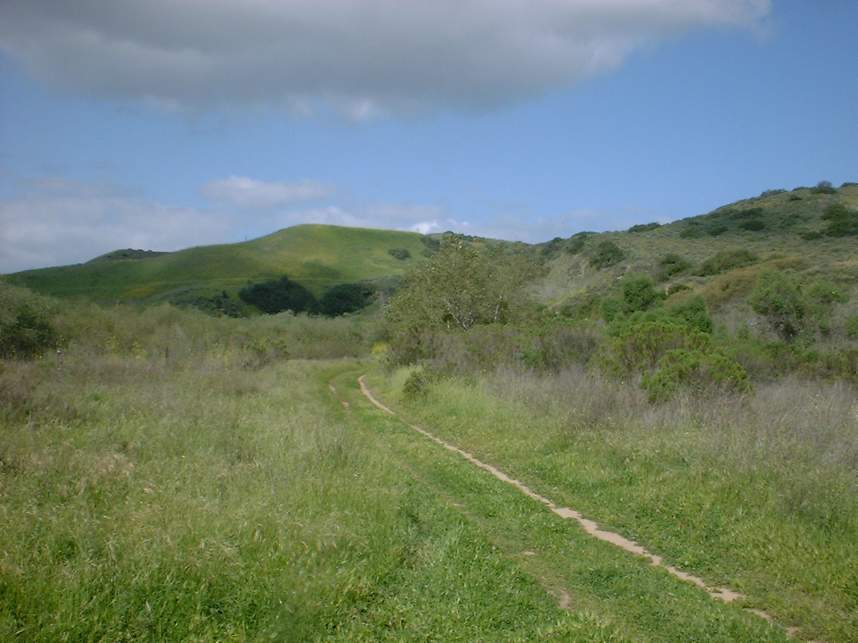
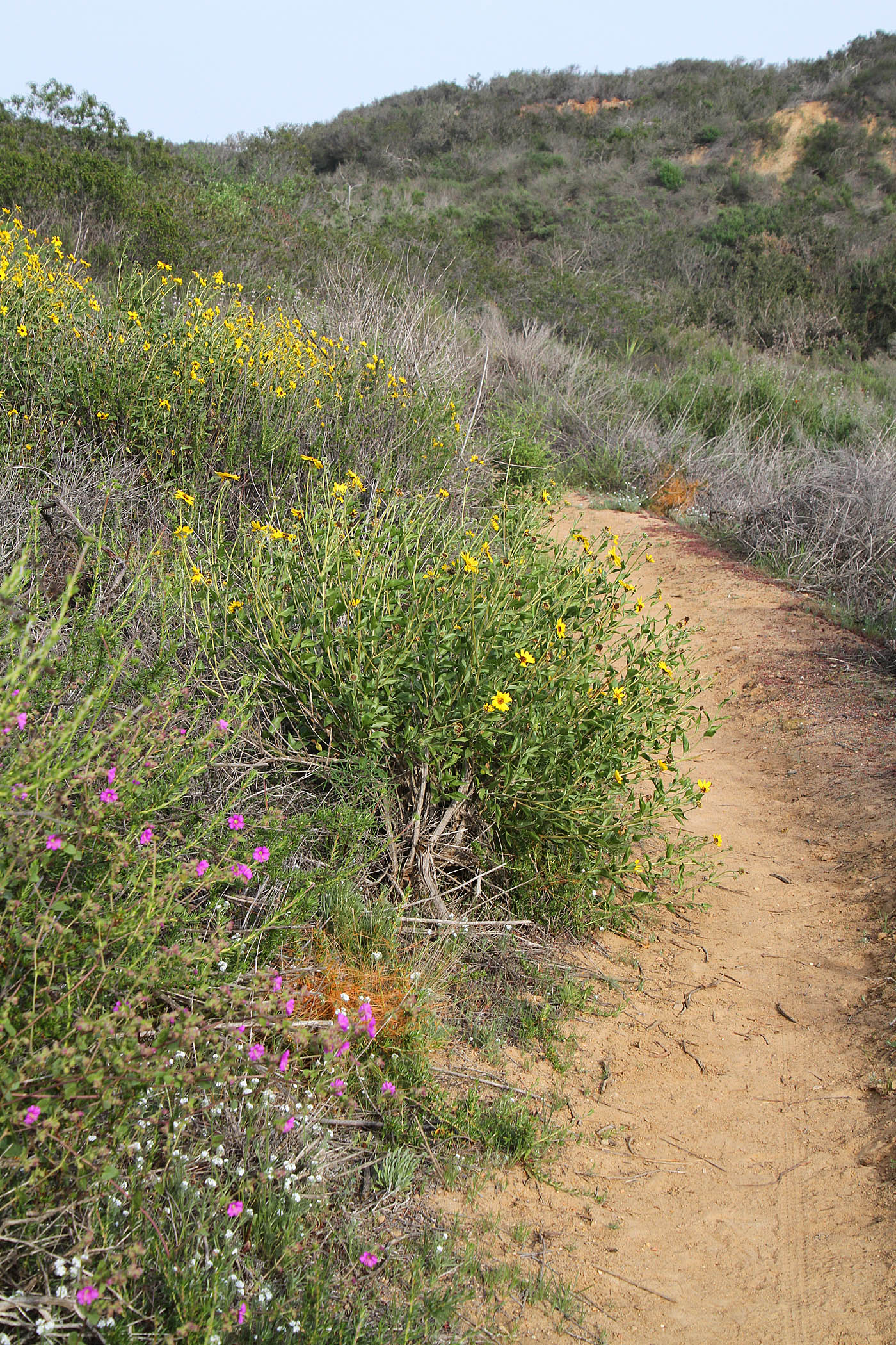
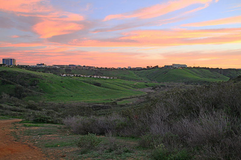
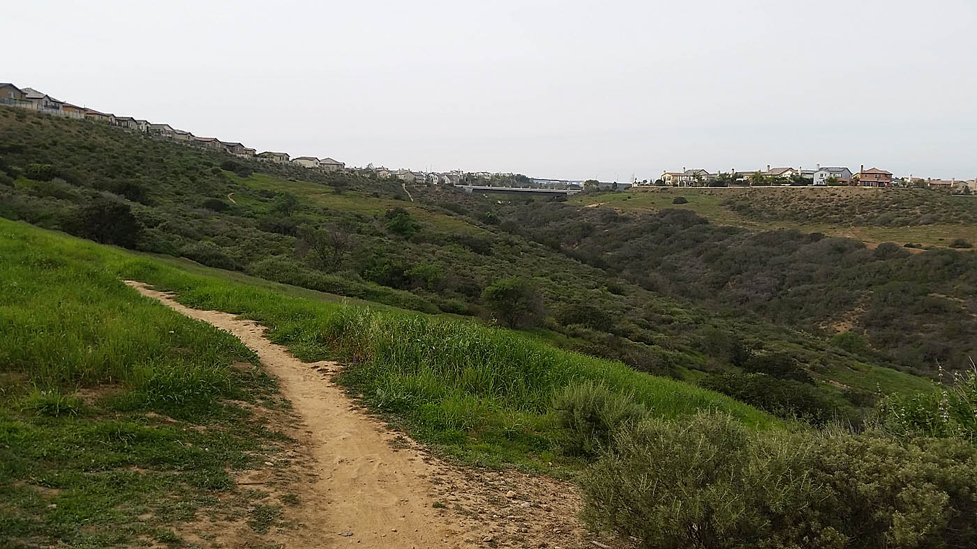
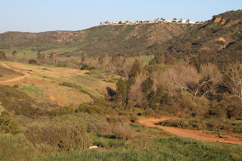 Looking east from along the South Side Trail/Road
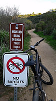 RANT: Okay let me get this disclaimer off my chest before going any further. Due to the multiple land owners and management agencies along with various conservationist groups with divergent agendas you end up with a management clown show of this area. The legal trail system here has drastically improved over the last couple of decades but it is still short on providing a truly quality outdoor experience for all of the user groups out here. The primary group that is getting the shaft out here are the Mountain Bikers. If you stick to all of the legal trails in the canyon you can tick off quite a bit of miles that will be virtually all on wide dirt roads being pawned off as trails. While you ride these roads you will pass dozens of "No Mountain Biking on singletrack trails" signs. To get yourself onto some descent to excellent singletrack trails you are going to have to get out of the canyon. The Del Mar Mesa (Tunnels) area has just a sliver of what used to be available to mountain bikers. Once you get to know the area you will have to make your own choices on route variations out here to achieve what you consider a quality outdoor experience. All is not lost, the San Diego Mountain Biking Association has some seriously dedicated advocates who are putting in a lot time with trying to improve things for mountain biking in this area.
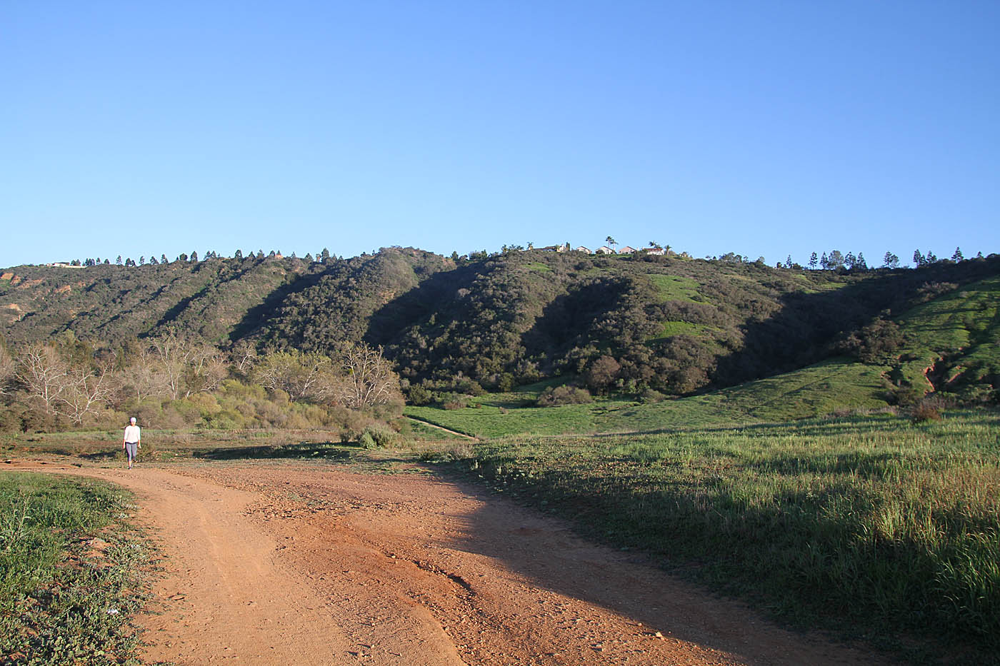
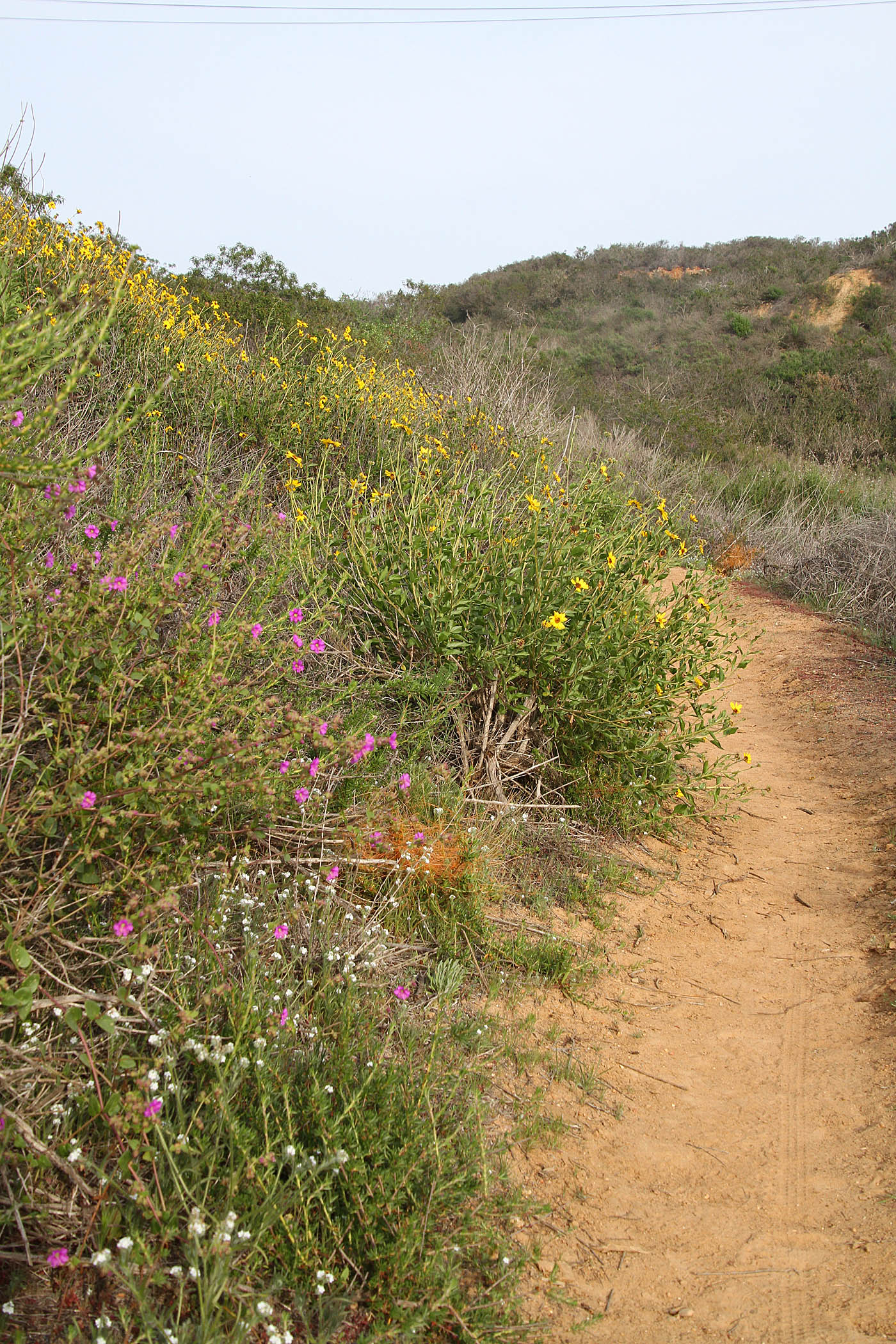
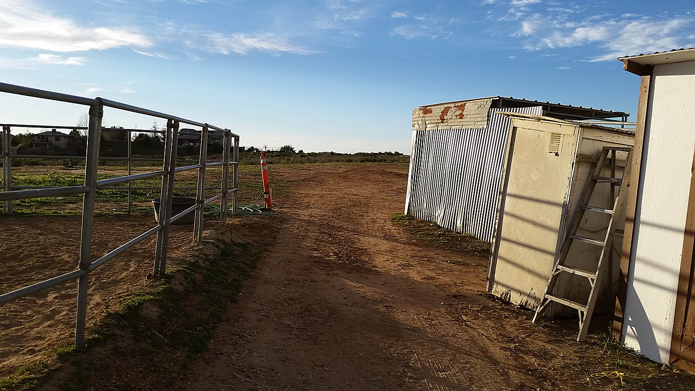
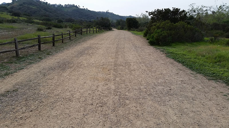 You find way too much of the this non-sense being passed off as trails at Penasquitos Canyon
 Ride Notes:
I'm going to describe the trails in three primary groups, the canyon itself, Del Mar Mesa Preserve (aka Tunnels) and Carmel Mountain Preserve. I will not be covering all of the trails here. For you frequent flyers of this site you will notice I no longer have my own map here. I have embedded the trailforks map here (I am one of the folks who help keep it updated) as it is just easier and I like drinking beer better than cartography. The entire area has a high exploration factor so do just that. If the trail you are about to ride on is not on the trailforks apps it is a safe bet it is not okay to be on it.
Beginner/Basic Loop (9.8mi 330'▲) :
Intermediate Introduction Loop (14.8mi 660'▲) :
LPQ, Tunnels, Carmel Mountain Tour (22.3mi 1400'▲) :
- East end of the Canyon: This trailhead is used by my three featured routes.

- West End of the Canyon: Sorrento Valley Blvd industrial complex
- Carmel Creek Road:
- Ocean Air Recreation Center:
- Clews Ranch Rd Trailhead
Los Penasquitos Canyon
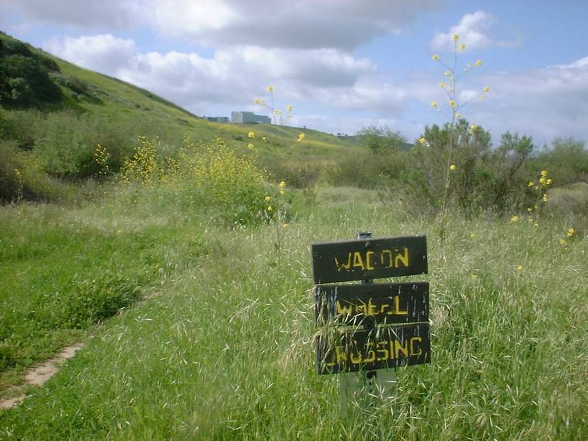
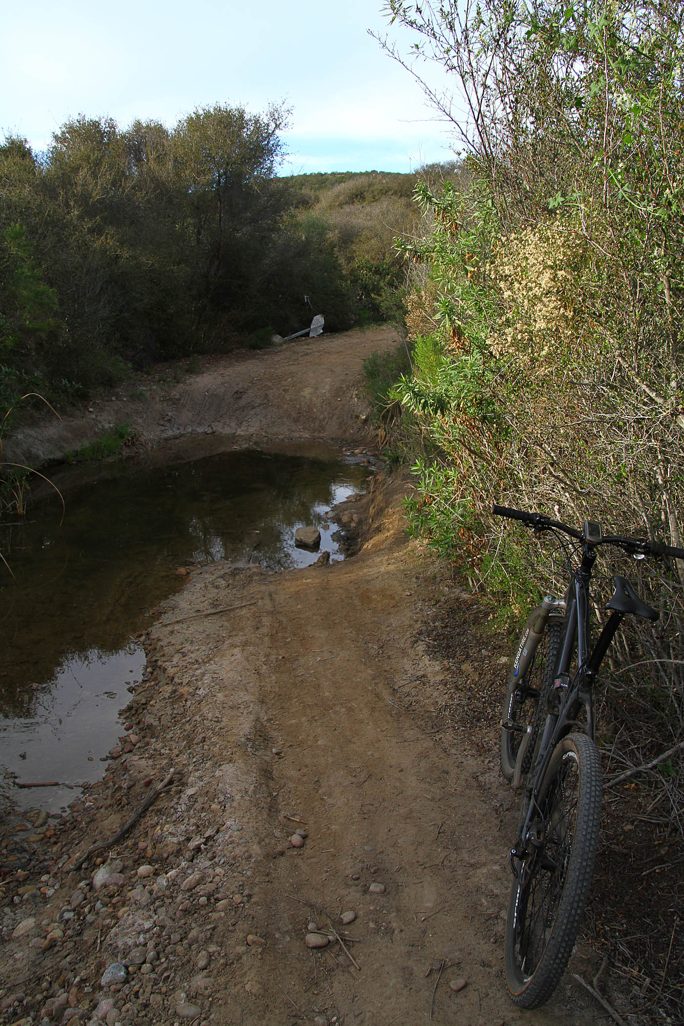
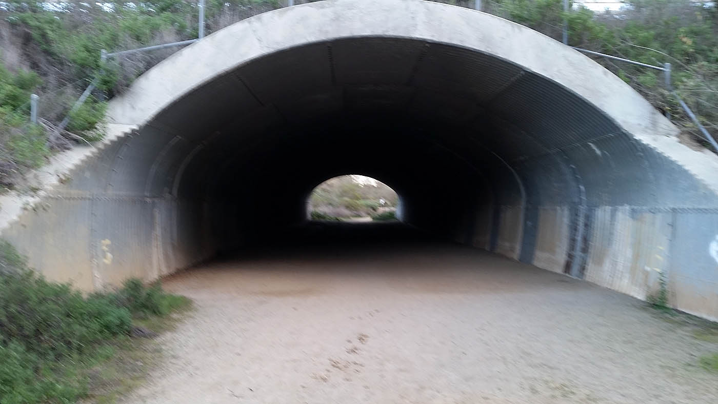
The main Penasquitos Canyon has two primary trails open to bikes on either side of the Penasquitos Creek. The North Side trail and the South Side Trail. There are five creek crossing bridges in the canyon that allow you to switch between the north and south trail. The five crossing in west to east order are: Wagon Wheel, Sycamore, Carson, Penasquitos Creek and Ranch House. You can use these to vary your route through the canyon. On the north side there is the power line climb and s loop back down to the canyon via the Duck Pond trail. The power line climb is the primary connector to get you to the Del Mar Mesa and larger loop options.
"Trail" is an extremely strong term to use for the north and south side trail. With some minor exceptions they are dirt roads plain and simple. The "improved" sections on the eastern end of the canyon is wider than many parts of Route 66 and smoother. If you can drive a Prius on it, its not a f#$&%^in trail!. The south side road provides you about 5.5miles of east-west travel through the canyon with some undulations. The north side trail has less undulations than the south side and continues further to the west beyond the wagon wheel crossing.
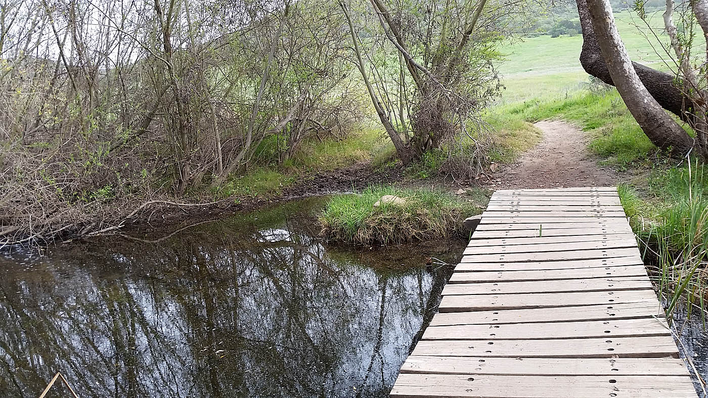
Basic Canyon Loop: From Canyonside Park at the west end of canyon follow the north side trail west for 5.0 miles to the wagon wheel crossing. Cross over to the south side trail and turn left (west) and travel east 4.8 miles to the Ranch house crossing. Turn left and proceed north across the creek and 0.2 miles back to the trailhead.
Basic Intermediate Loop: Starting from the Canyonside Park head west on the north side trail for 2.2 miles until you get to a four junction very close to being under some power lines. Turn right and start climbing up the "Power Line" trail/road. When you top out at 3.1 miles turn left (east) and follow the dirt pathway/road east beside a development. At 3.4 miles the dirt sidewalk turns to the north while a fireroad continues to the east. Take the fireroad to the east. At 3.6 miles there is a fork in the fireroad. Bear the right. At 3.9 miles the fireroad ends a power line tower. The trail turns to singletrack just beyond the tower. Continue on the singletrack that down decends and gets a rockier. This trails descends down to Duck Pond and another trail junction at 4.3 miles. Turn to the left (downhill) and the take a right at any forks in the trail. This will lead you back down to the north side trail at 4.7 miles.
Turn right onto the North Side Trail and continue east until you come to the Wagon Wheel Crossing at 6.6 miles. Instead of taking the crossing continue on the North Side Trail that turns into single track (and the best little bit of legal bit of singletrack along the north side down in the canyon). The singletrack comes out at the end of a doubletrack at 7.0 miles. Continue east on the doubletrack where it will evenutally come out onti the sidewalk of Vista Sorrento Parkway at 8.3 miles. Turn south and travel about 40 yards over a bridge over Penasquitos Creek and turn left onto a pathway that skirts the parking lot of a buisness park. You will eventually end up in the parking lots. Contune east until you come out at Sorrento Valley road at 8.9 miles. Ride east on the sidewark and take the double track on your left back into Penasquitos Canyon at 9.1 miles. You will pass the Wagon Wheel crossing on your left at 9.8 miles Continue along the South Side trail/road for 4.8 miles to the Ranch house crossing at 14.6 miles. Turn left and proceed north across the creek and 0.2 miles back to the trailhead for a total of 14.8 miles.
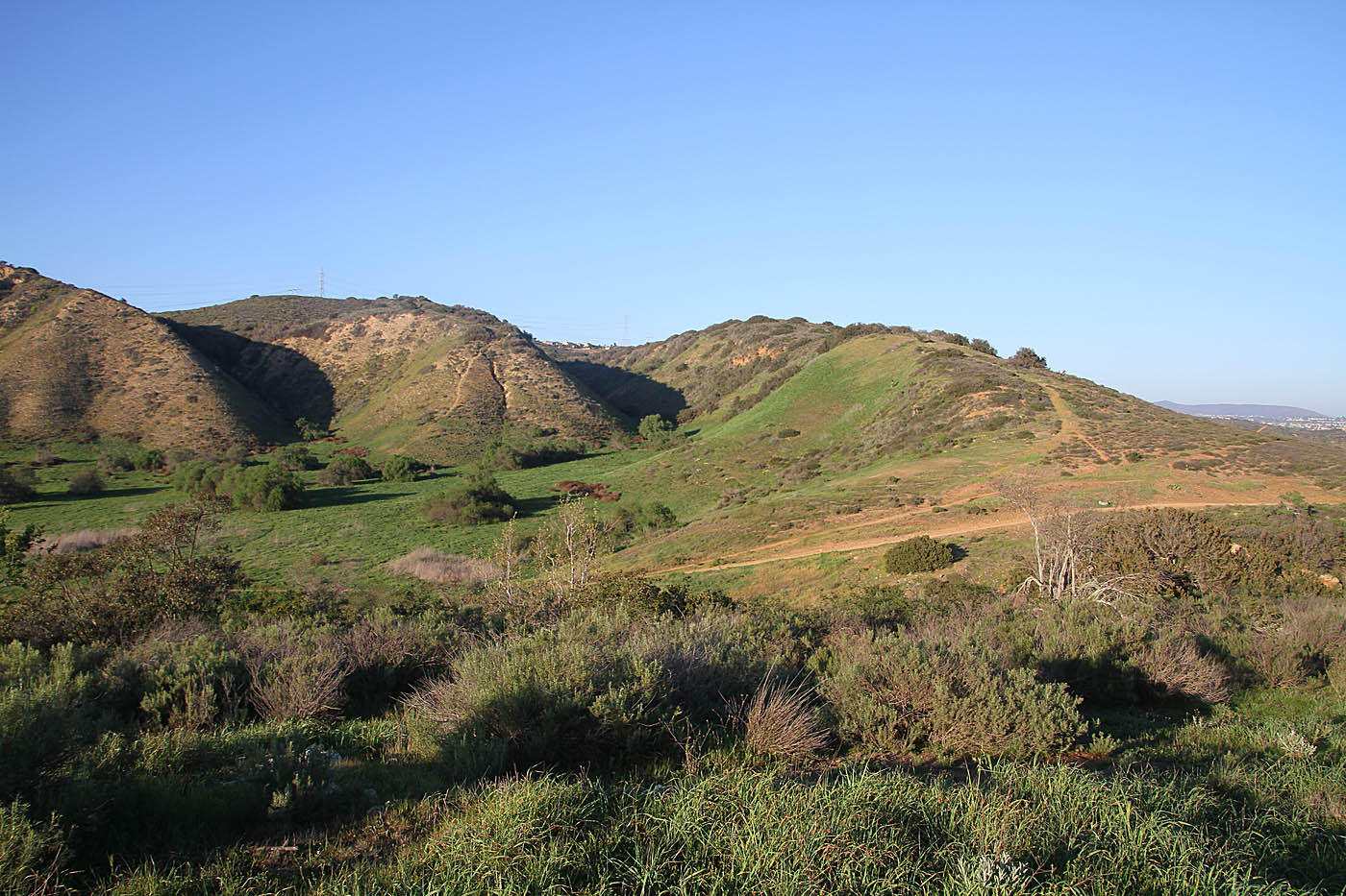
 Looking into the west end of the canyon from the top of Little Waimea
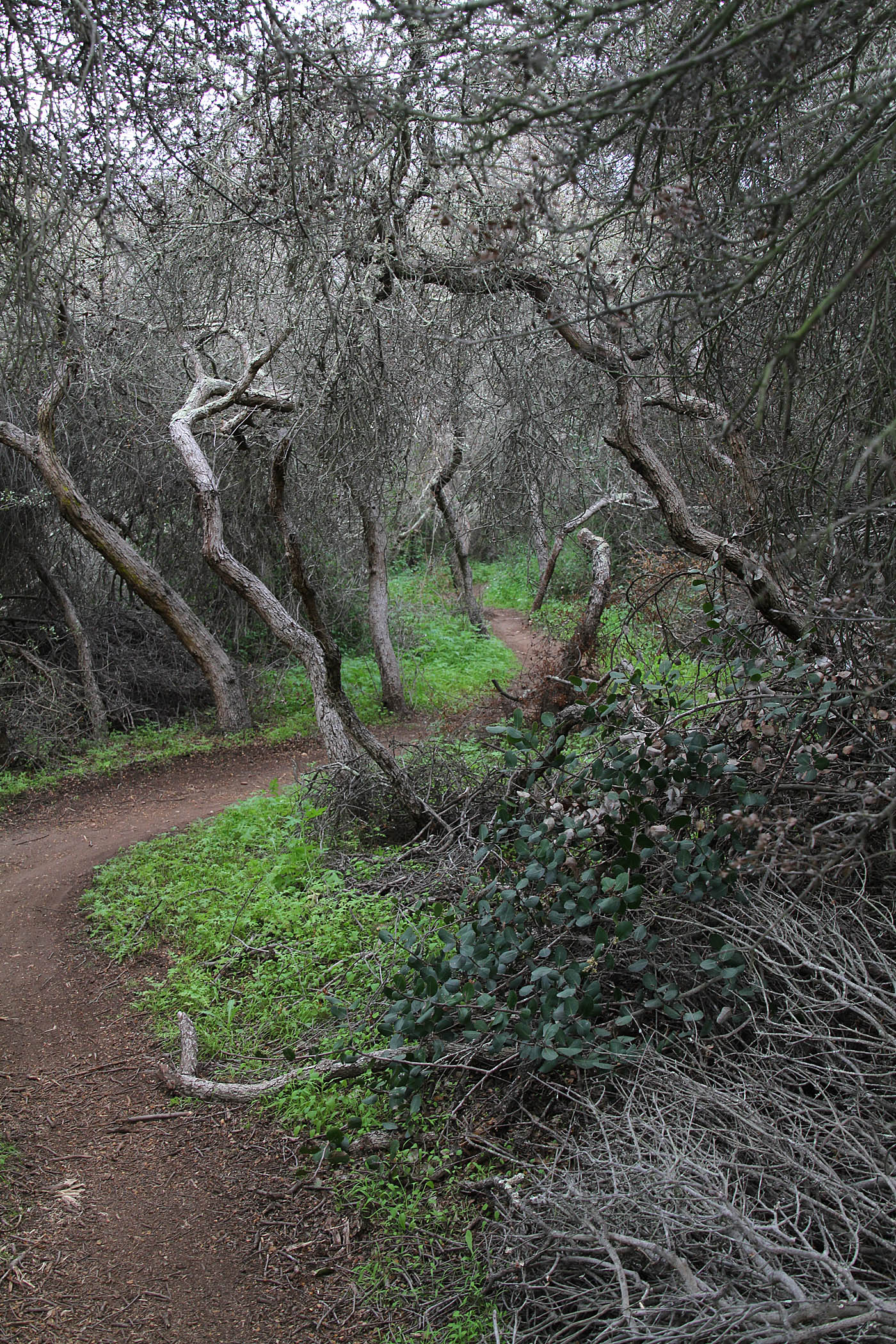
 The Del Mar Mesa Preserve "AKA Tunnels"
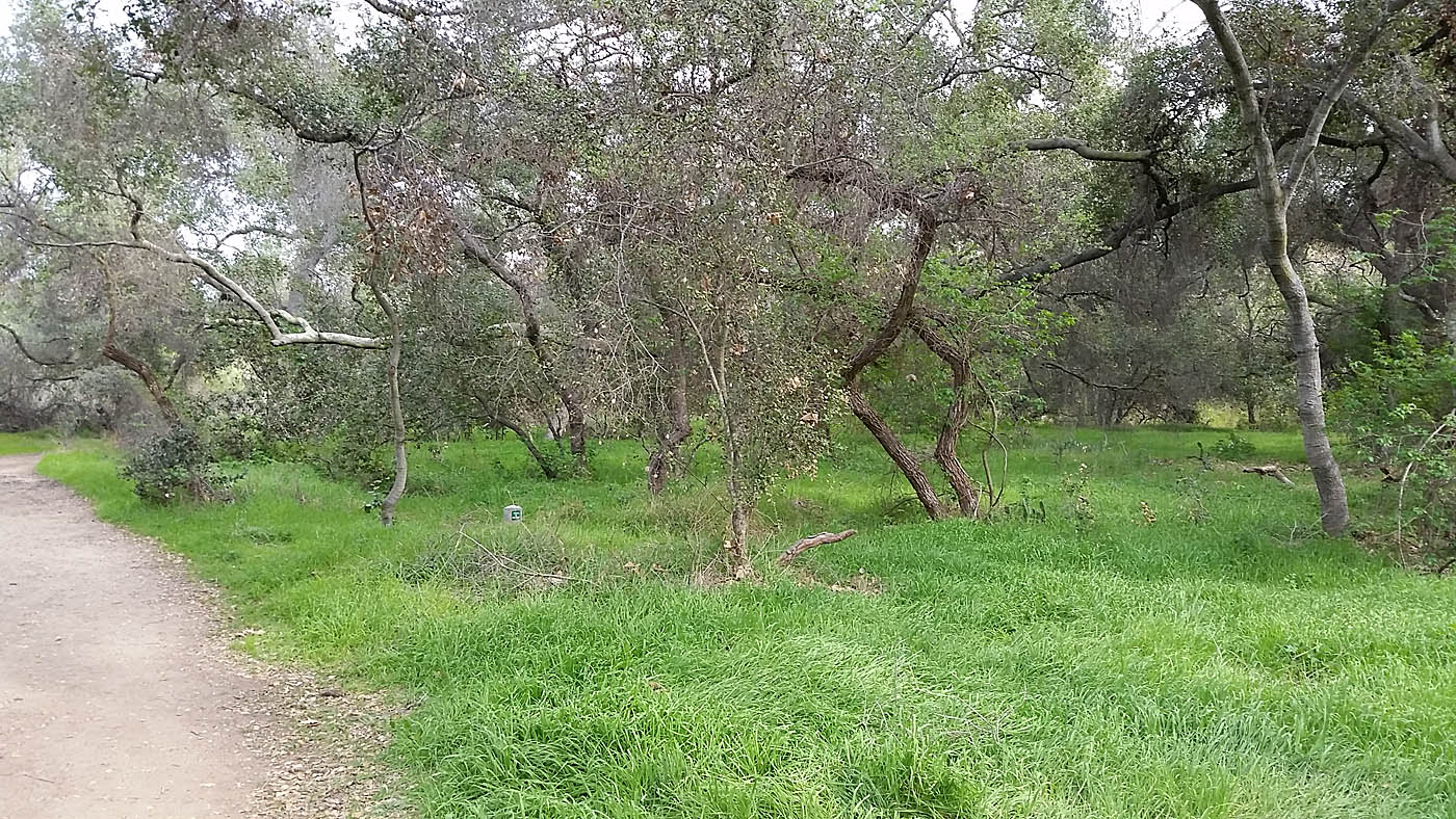
This is also known as "Tunnels" The reason for the name come from the the trails that are under a canopy of Coast Scrub Oak that is in all of the canyons coming off the mesa. Most of the trails are very tight and twisting under the this canopy and offer an exceptional trail experience. This area is accessed when you reach the top of the power line climb on the north side of Penasquitos Canyon. At the top of the climb hang a right and follow the wide fire road east towards the only stand of trees on the mesa. These handful of trees are a great visual reference and if you can see them from many points on the mesa. There used to be a total of five tunnel trails and a several mesa rim trails that provided what I consider a wonderfully unique riding experience in San Diego. Unfortunately all of these trails were shutdown over eight years ago and only August of 2015 did a small portion of the them open back up. While this is progress the clown car music continues to play in the background as the various land mismanagement and government agencies along with the various advocacy groups continue working "the process" establishing an official trail system. My blog section of this site will be updated as incremental changes occur in the tunnels area so take a look at the blog in addition to this page.
The boring legal fireroad starts at the top of the power line climb heads to the east towards the Eucalyptus trees. After a quarter of a mile the fireroad will bend to the north and you will start passing your first set of trail closed signs on your left and right as the fireroad passes the trees to your right. The boring fireroad will northward and at just under a mile since you left the power line climb, the fireroad will turn stupidly steep downhill down into Deer Canyon where it will cross a creek and the start climbing. The first trail you pass on your right is the Deer Canyon trail heading east towards the tunnels and to Camino Del Sur Road. Continuing on up the fireroad you will soon come to a singletrack coming in from the west. This is also the the Deer Canyon trail heading off to the west. I have not seen any trail markings on these two trails as all so I assume they are legal since the only non-endangered resource in this ares seems to be trail closed signs. If you were to stay on the boring legal fireroad you will soon top out and then drop into the McGonigle Canyon. From McGonigle Canyon you can connect to the Santa Luz and Black Mountain trail systems and onward. As much as I hate this boring fireroad it is the major legal dirt connector in the area and is part of the perennial Archipelago Ride.
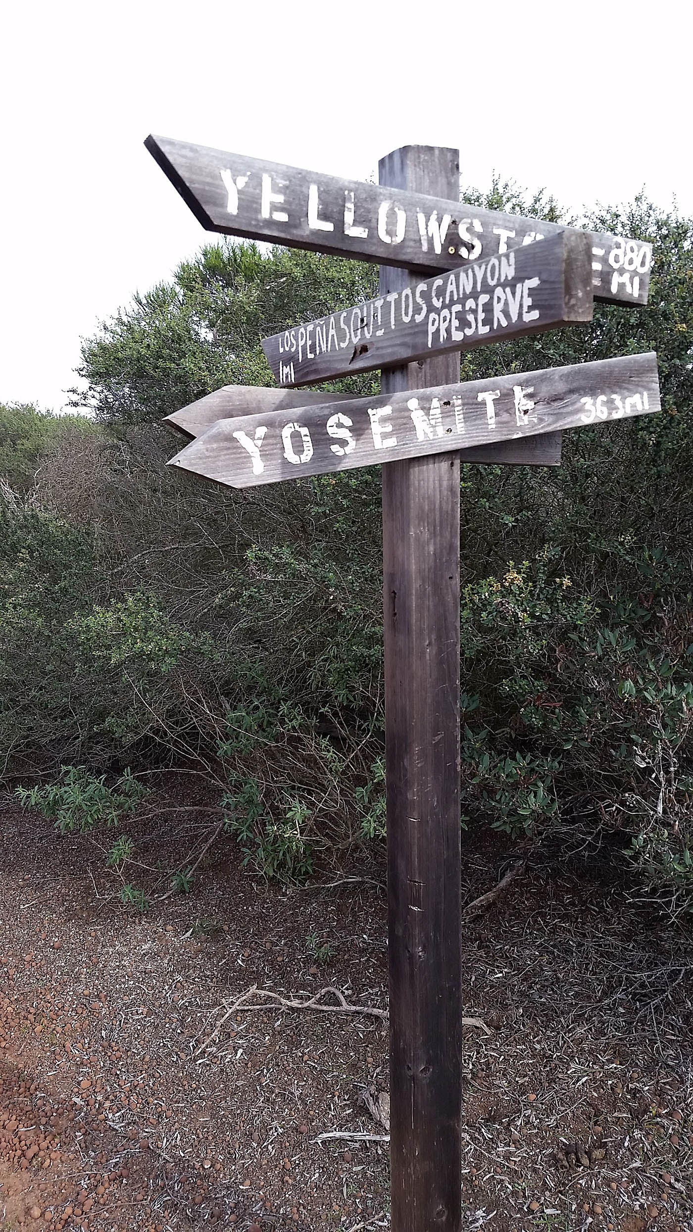
If you are looking to make a sizable loop back to Los Penasquitos Canyon take the Deer Canyon trail to the west (Take note of your mileage at this point). The directional blabbage here correpsonds to my featured "Big Loop" link above. The trail is not marked but it undulates along the side of the hill for about 0.7 miles it drops down to north side of a small pond. From there will follow a double track west. At 1.1 miles the ridge line that was to your south drops into the valley as the trail bends to the south around. There are several trail junctions here Turn to your right (west) and follow the doubletrack along the valley floor. At 1.5 miles turn left and proceed up the canyon.
At 1.9 miles the doubletrack climbs up out the canyon coming out into small set of horse stables at the top of the hill. Look to your right (west) and see a sizable house across a large open area. Take the trail in between the horse stables that goes towards that house. (Your mileage should be 2.0 miles at this point). The trail goes around the back side (north) of that house and follows along a ridge until it comes out on Del Mar Mesa road at 2.5 miles. Follow the crappy dirt sidewalk west for 2/10ths of a mile and pick up a singletrack going off to the right (north) at Waypoint DMMR-2. Over the next 4/10th of a mile this single track descends nicely and then sharply down to into a housing development popping out onto a dirt pathway at 2.9 miles. Bear to your left and then proceed west along the path way for 0.5 miles until you come out at Carmel Country road. Cross the street here and turn left (south). About 100 yards down the street is the Clews Ranch Rd.. trailhead of the Carmel Mountain Preserve which will further connect you back into Los Penasquitos Canyon.
Carmel Mountain Preserve
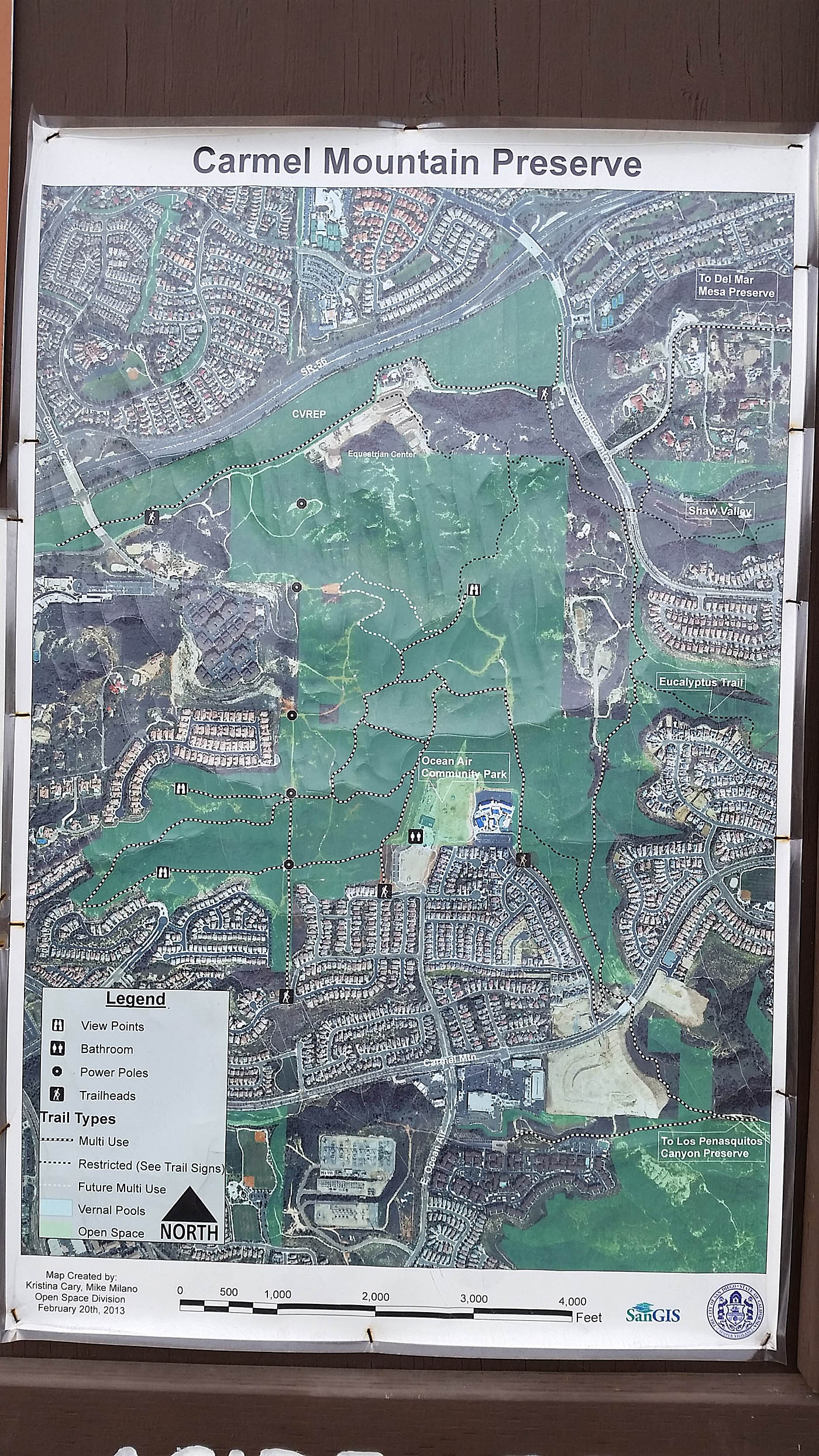
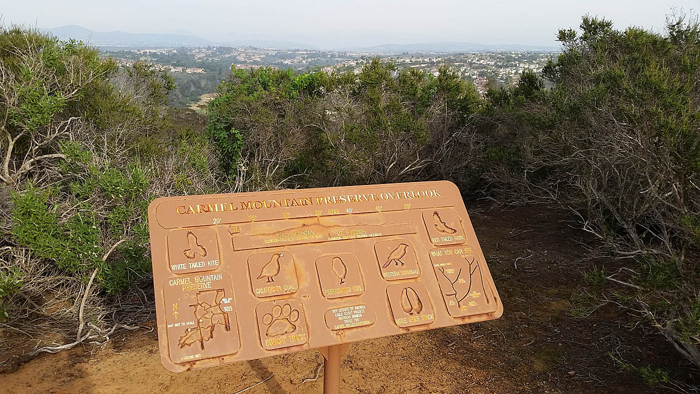
Carmel Mountain Preserve is a small open space preserve that is north of the western end of Penasquitos Canyon. With all of the land development that has gone on in this area it is really no longer large enough to be a place you go ride by itself but it does provides a little bit of quality trails. It is is a worthy add-on to Los Penasquitos Canyon rides. There are basically three ways into the preserve. Starting from the Ocean Air Recreational Center is the easiest as you start right on the mesa. Starting from the end of Carmel Creek Road gets you a steep climb up onto the mesa right out of the gate. Riding into this area from Penasquitos Canyon is a very common choice for mountain bikers. This area is featured in my longest recommended route. There are five large power line towers running north and south across the mesa that make great visual reference points when you are getting to know the area. This small area is easy to get turned around in even with your location on a screen.
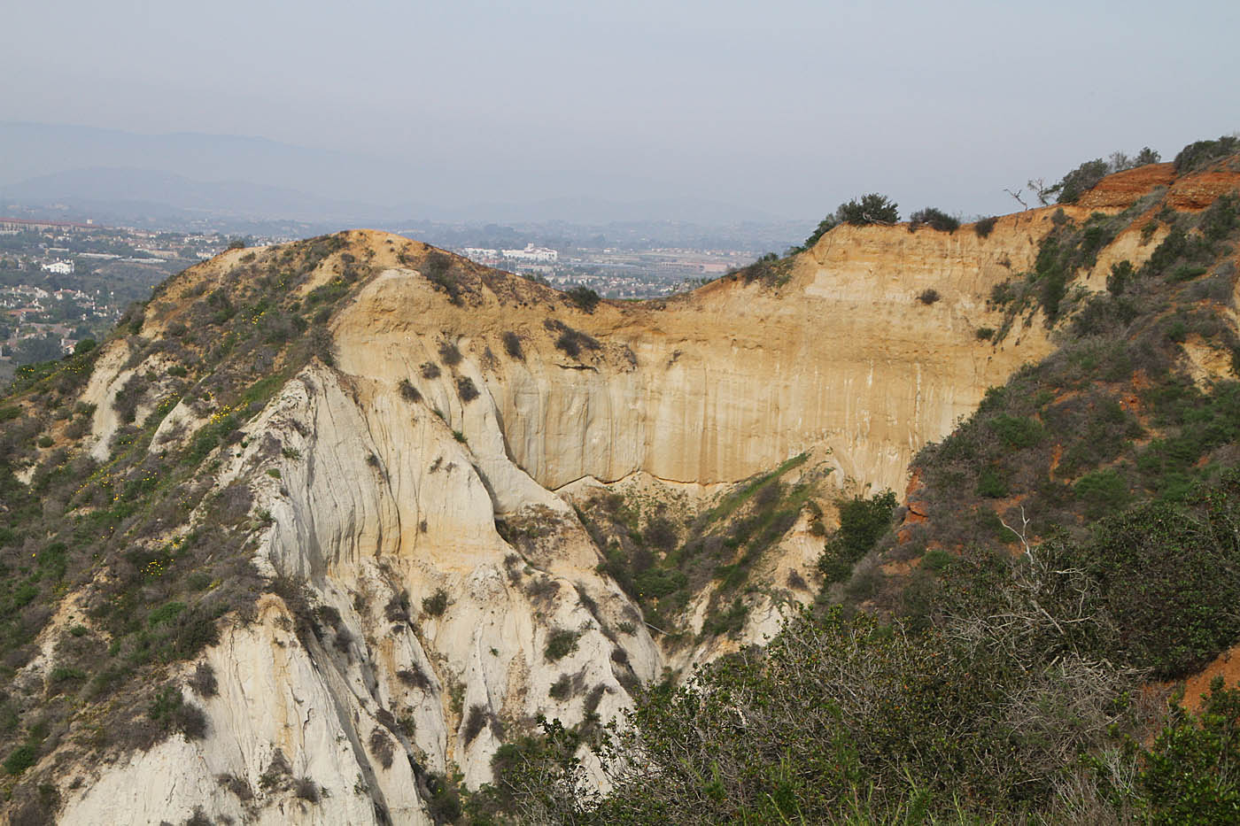

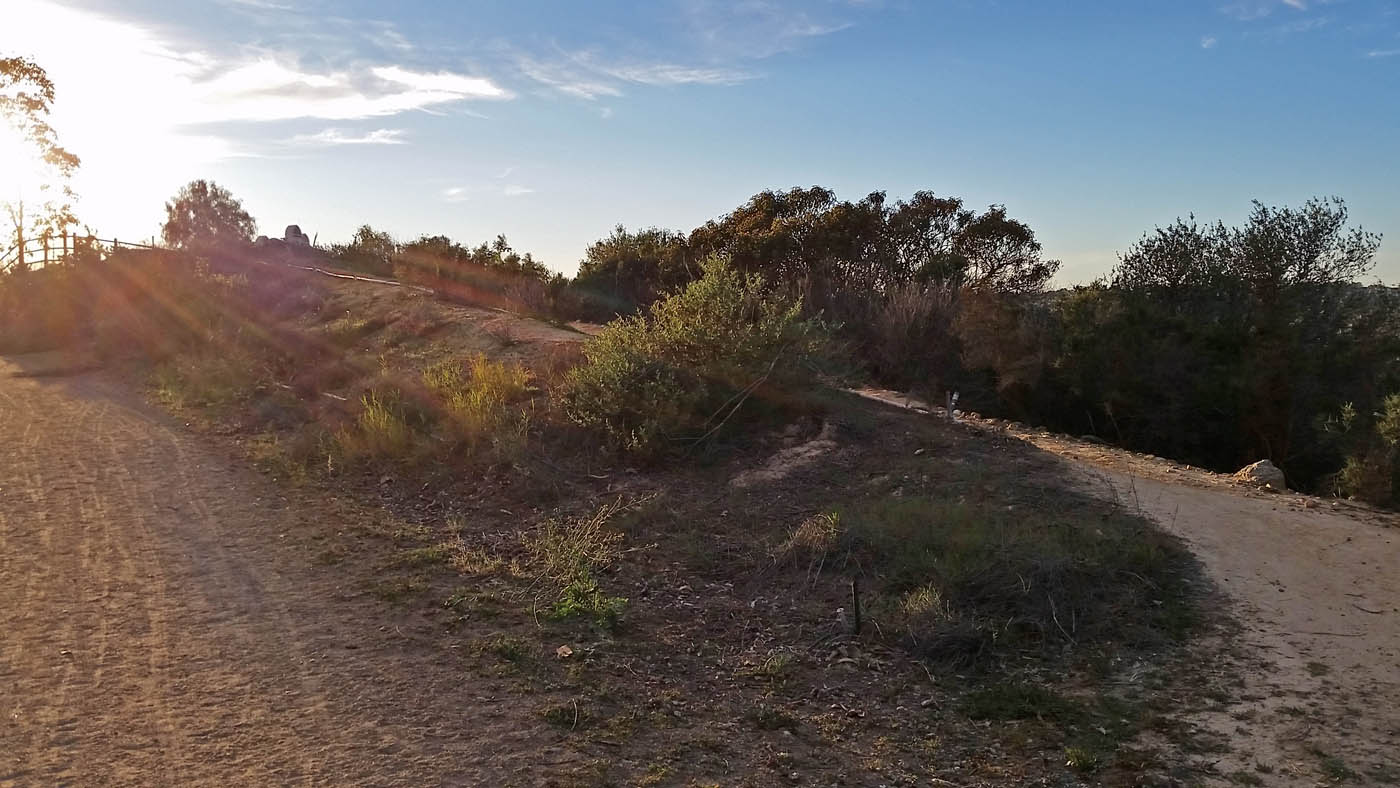
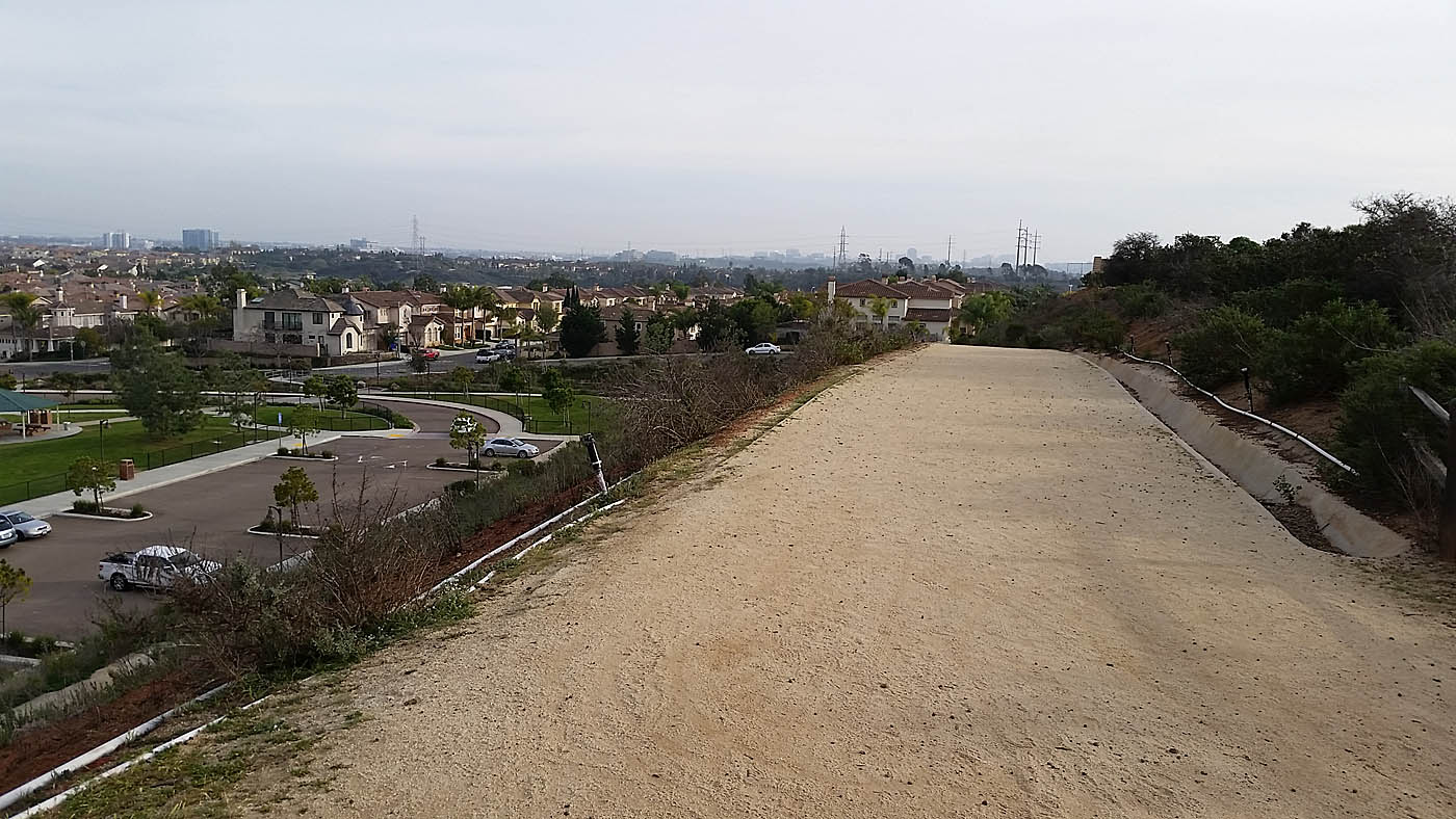
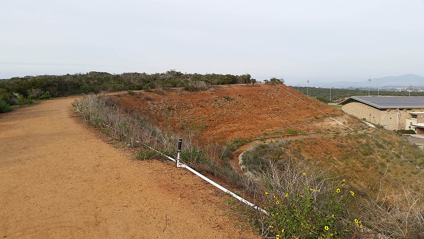
Views from along Carmel Mountain Preserve
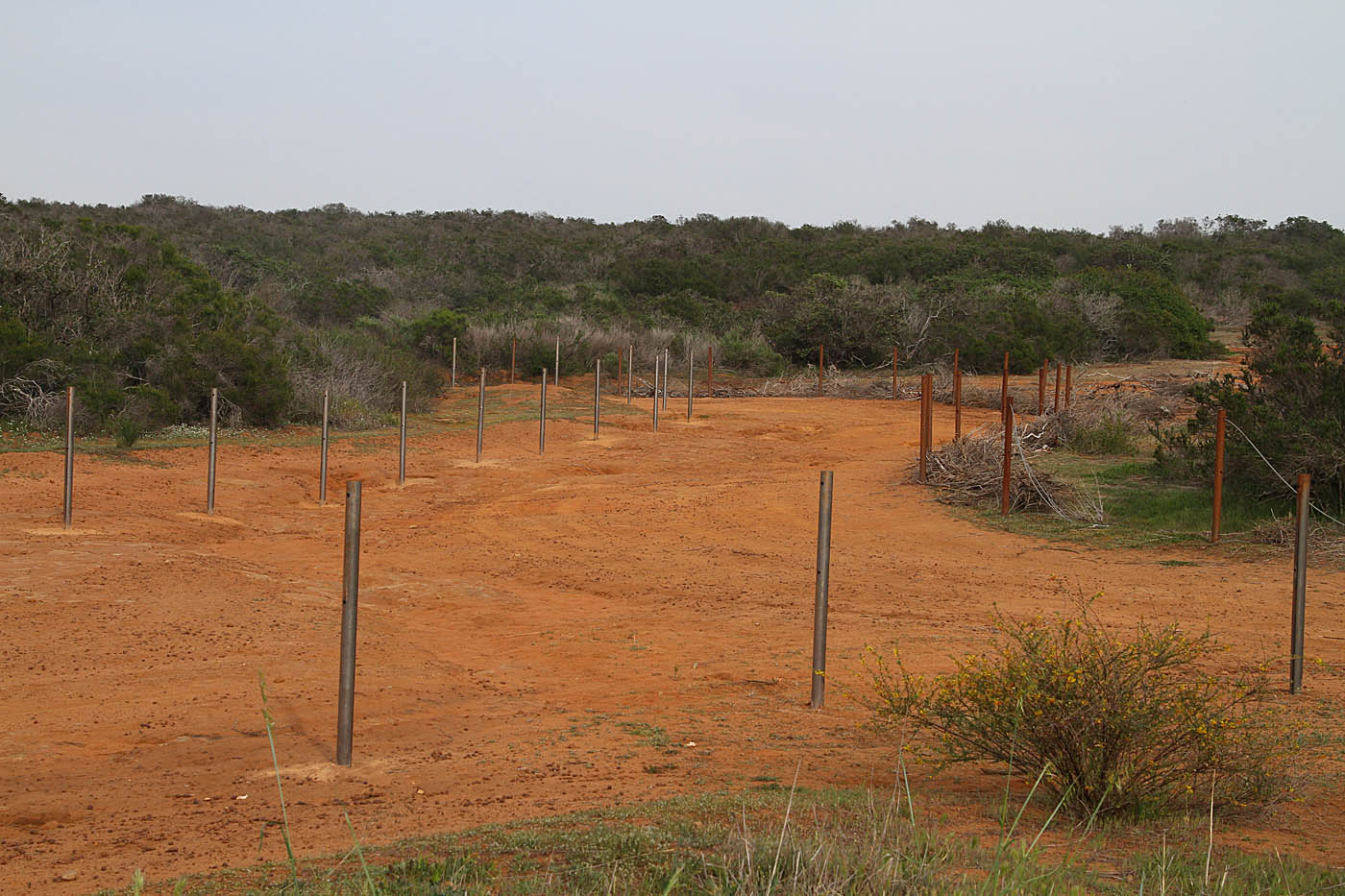
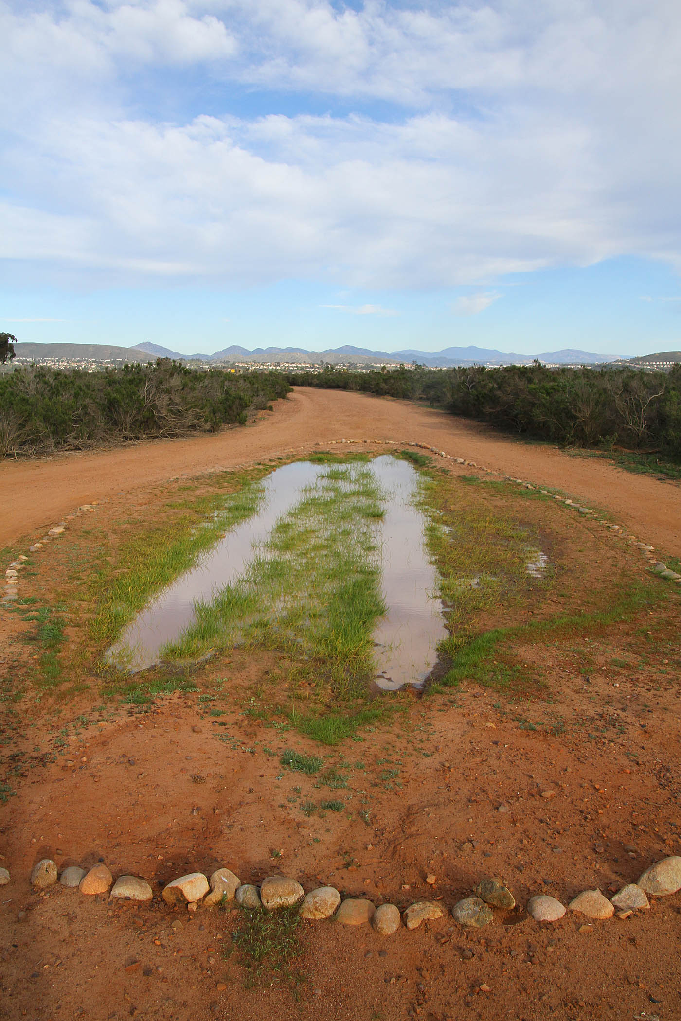
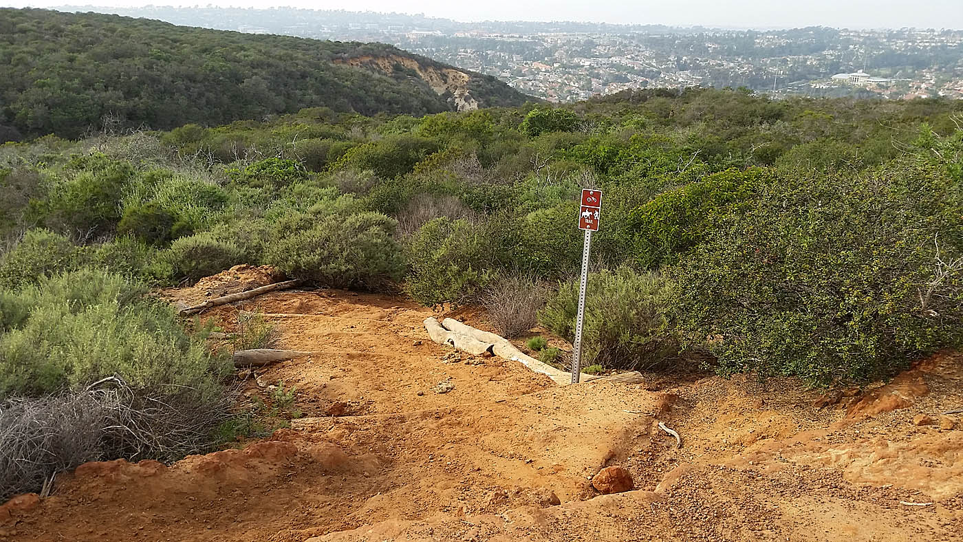
Some of fire roads trying to be pawned offs as trails. They are however better than pavement.
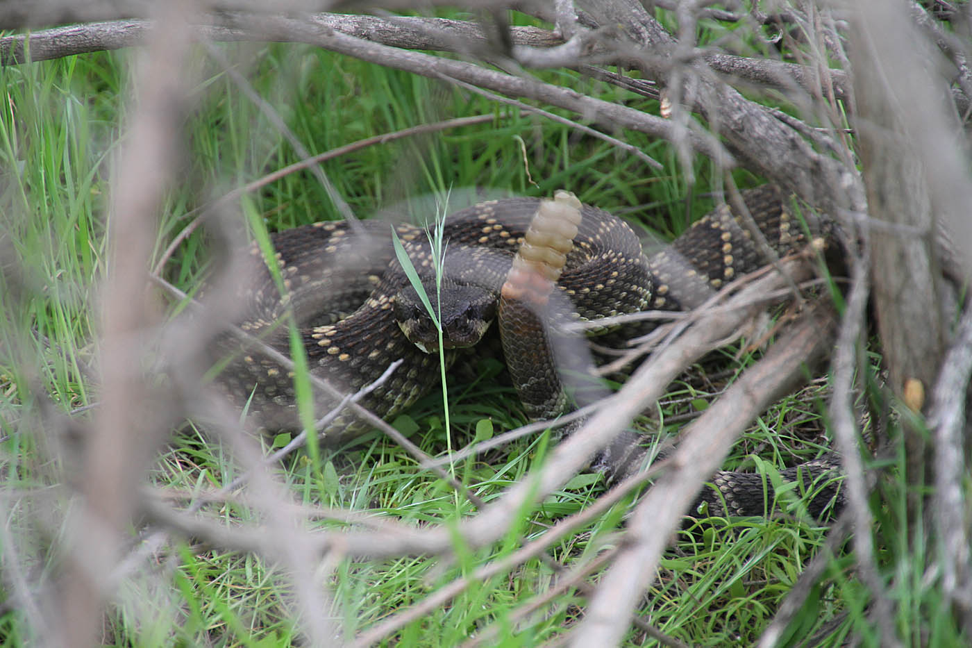
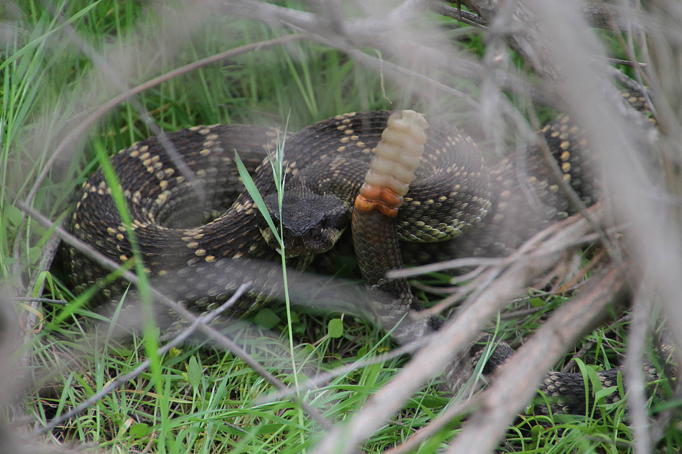
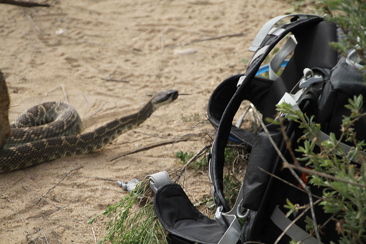
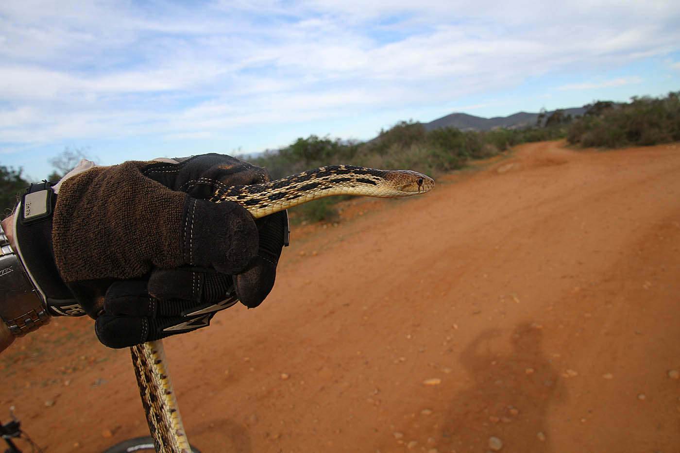
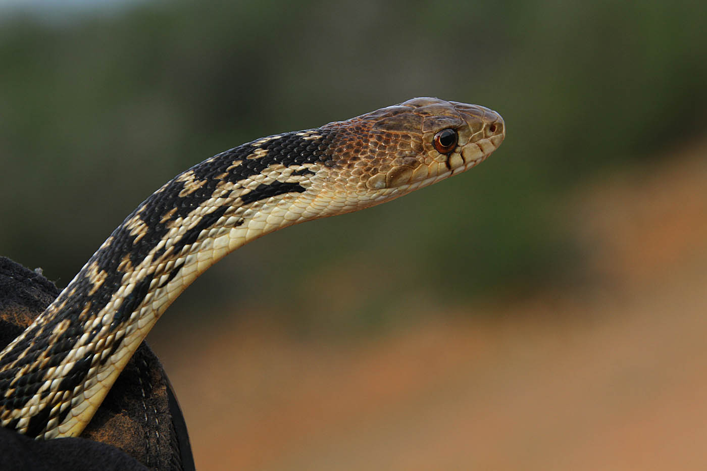
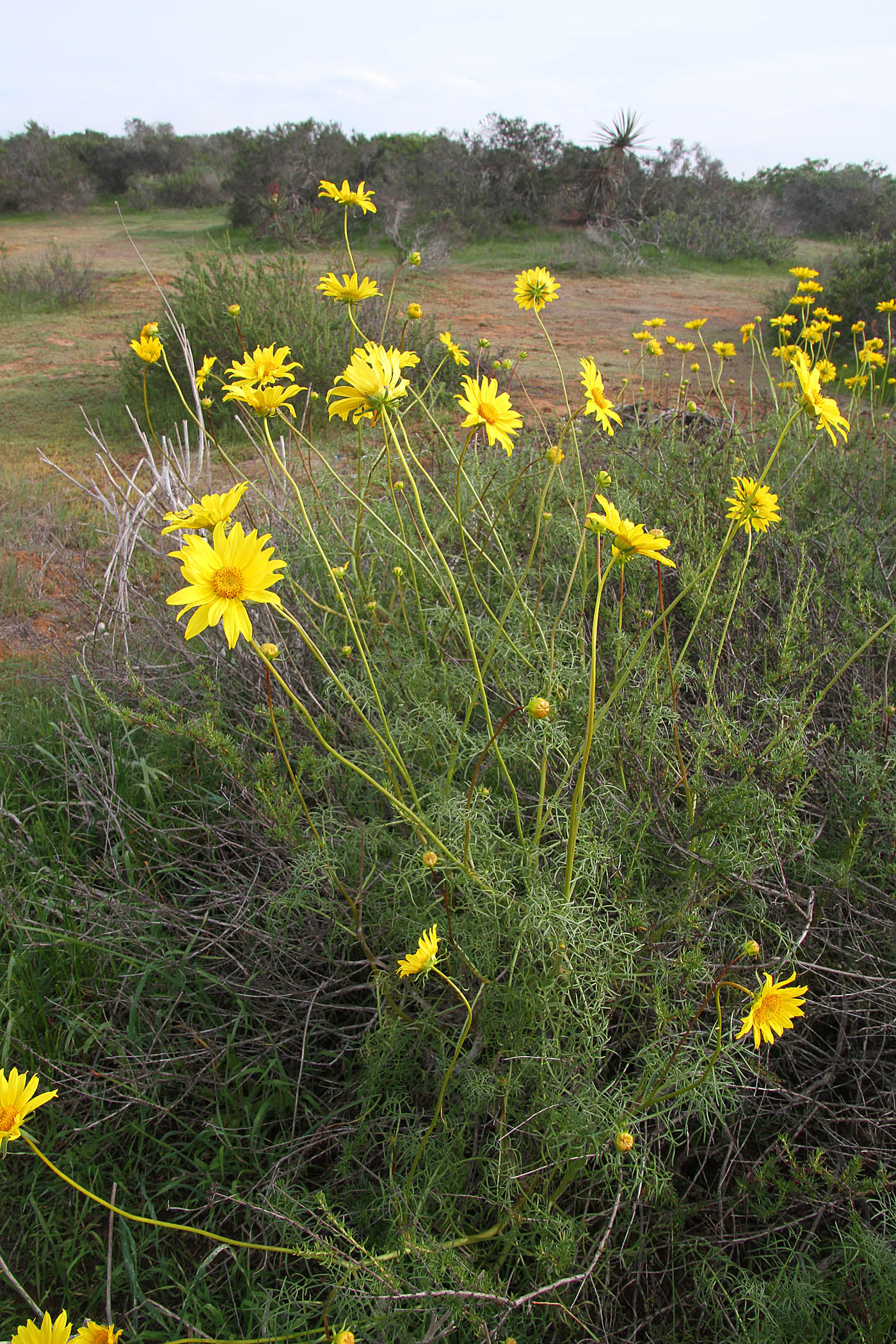
Some of the critters seen in this area. I have also seen lots of hawks, deer and a few bobcat over the years.