
Iron Mountain
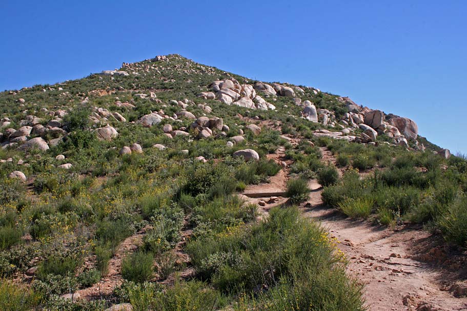
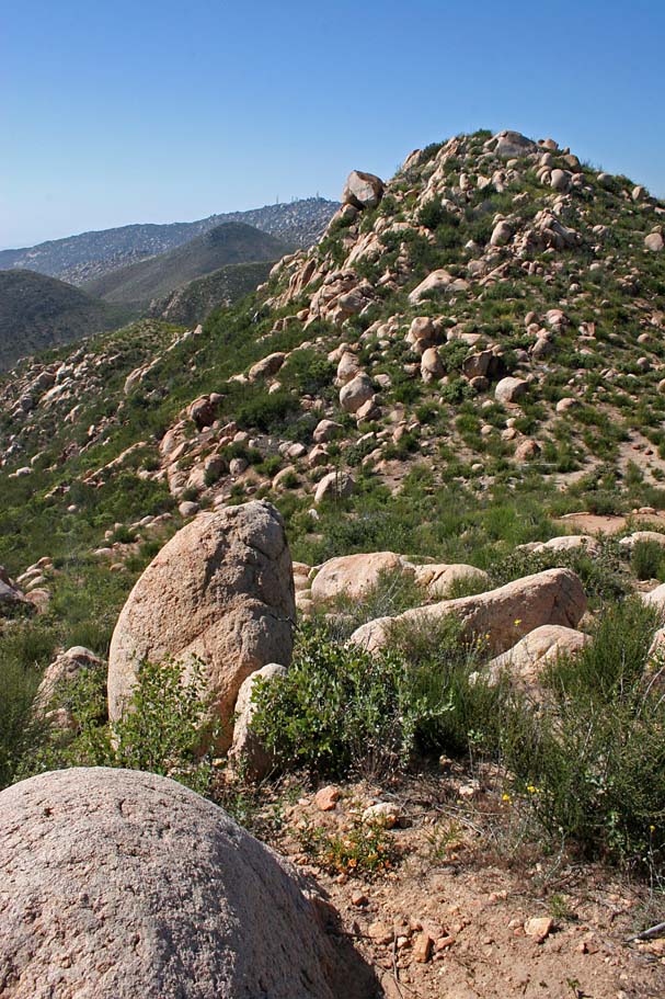
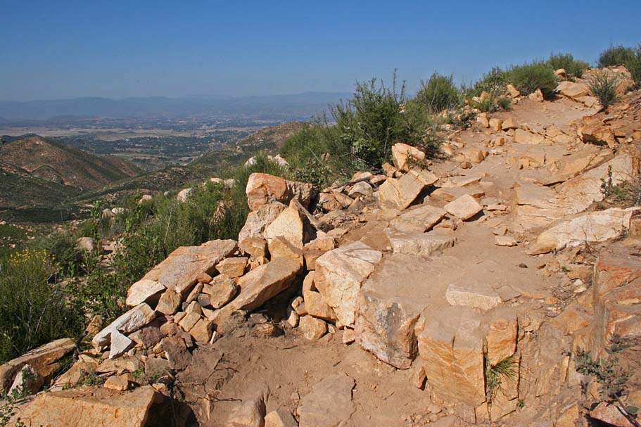
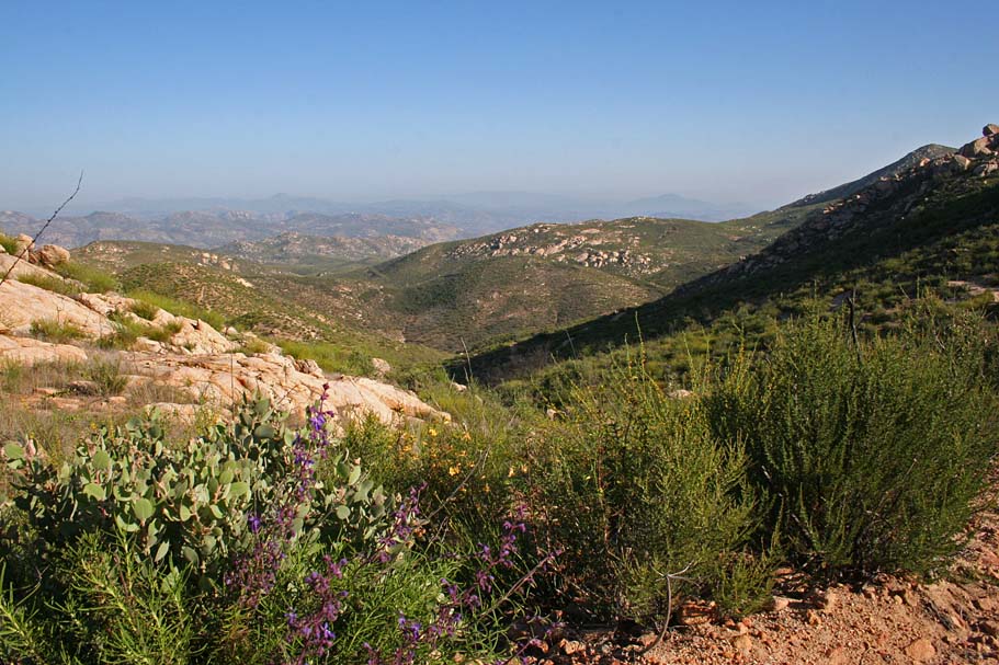
Iron Mountain is located at the eastern edge of the city of Poway and it is the second largest peak in the city at 2,696 feet which is just a little shorter than Mount Woodson just a little further to the north at 2,884 feet. The trailhead is at 1,700 feet so while this may seem like not that big of a deal, it could not be any further from the truth. The rocky and steep technical terrain makes this an advanced level ride or a moderately difficult hike. Most riders will do a combination of both. This ride really challenges you both physically and mentally as there are so many places where it is not simply a technical move that is required, but a series of technical moves, many times diverse moves, that are required in combination. While there are only about 10 miles of trails out here you can reasonably expect it to take you around four hours to complete the ride. This place is quite popular with hikers and trail runners so do not even think about riding this trail during the weekend. Either way minimize the trail conflict by going on the weekday.
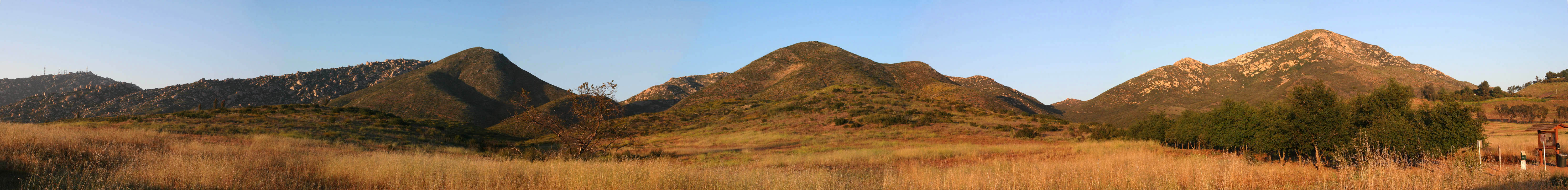
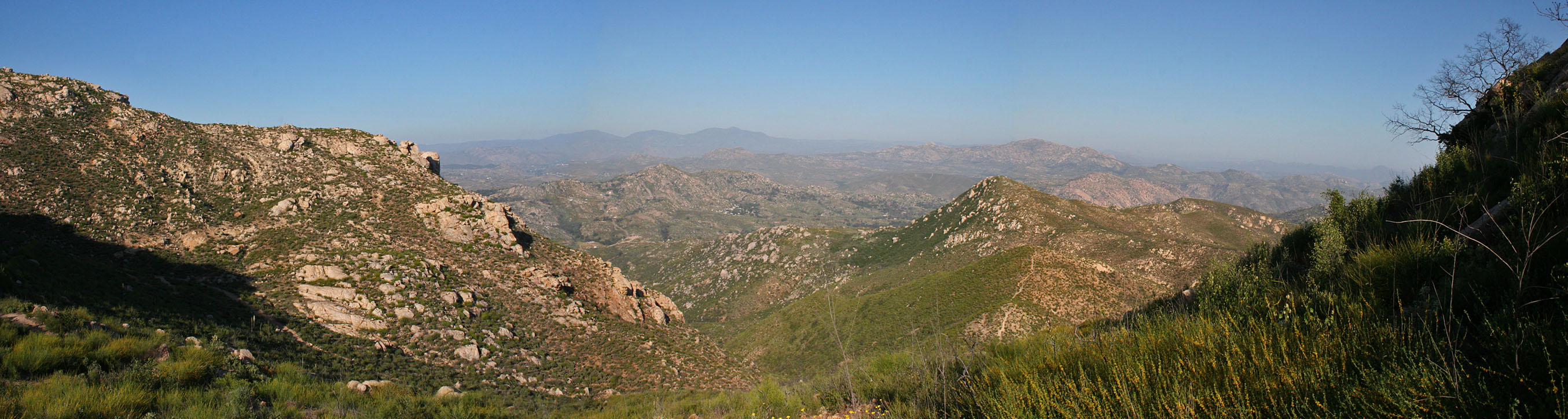
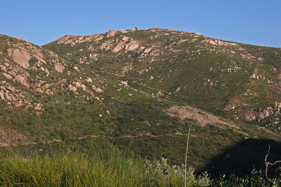
Mt Woodson (left) and Iron Mountain (right) from the Poway road trailhead
- From Places North (i.e. Escondido) traveling south on
I-15: Take the Camino Del North Exit and turn left on Camino Del Norte.
After 1.6 miles, Camino Del Norte truns into Twin Peaks Road.
Continue 2.5 miles on Twin Peaks Road, then turn right on to Espola Rad/CR-S5.
After .7 miles, turn left on to Poway Road/CR-S4. In 2.6 miles you come to
the T-intersection of highway 67. Turn right and immediately turn left
into the dirt pullout area at the Iron Mountain trailhead.

- From Places South (Junction I-8 and I-15): Travel
11.0 miles on I-15 north and take the Scripps Poway Parkway exit. Turn
right onto Scripps Poway Parkway and travel east for 8.6 miles. Turn left
on Highway 67 and travel north 1.6 miles. The Iron Mountain trailhead on
the right-hand side of the road just prior to the stoplight for Poway Road.
Hazards: This place gets blazing hot in the summertime. The first time I rode this trail was at the end of May and it was already 90 plus degrees at 4PM in the afternoon. This place is not for the intermediate level rider, unless you enjoy lots of hiking. For a general comparison, if you do not feel fairly confident riding the technical stuff on Noble Canyon (Widow Maker, Stairway to Hell, Barney Rubble, etc...) then this may not be the ride for you. If you have not ridden Noble Canyon before then put that further up on your list than Iron Mountain.
Iron Mountain OAB:
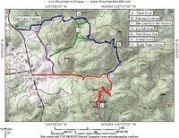
Iron Mountain - Ellie Lane Loop

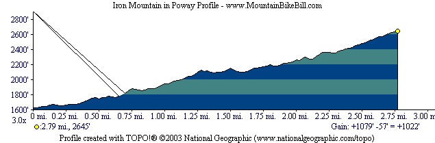
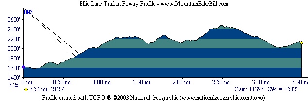
Elevation Profiles
Video
Getting some Iron in my diet! (January 2022)
Ride Notes: (This description is for a Iron Mountain/Ellie Lane/Wild Horse Loop)
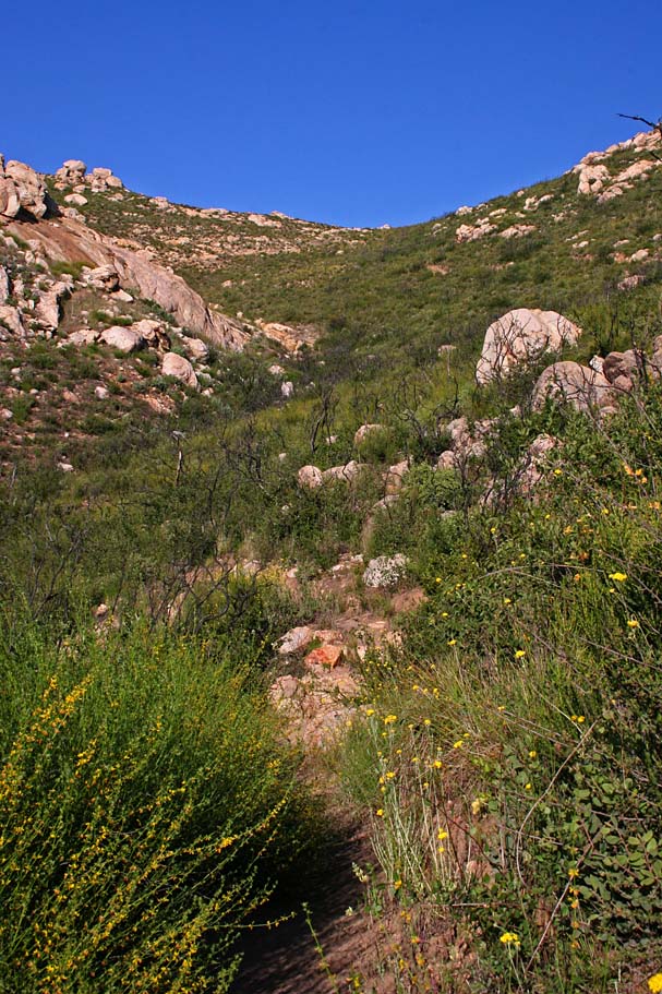
 Right from the trailhead you can see
where you are headed as Iron Mountain is just to the south which starts off tame enough. At .3 miles you will pass by a fireroadish looking trail coming in from your left. This is southern end of the Wild Horse trail that connects to the Ellie Lane trailhead. Continuing on the
Iron Mountain trail, at .7 miles the trails starts to show a taste of things to come with the first set of tight switchbacks and technical features. They are only interspersed here and there until at 1.45 miles you reach the junction of the Iron Mountain trail and the Ellie Lane trail.
Right from the trailhead you can see
where you are headed as Iron Mountain is just to the south which starts off tame enough. At .3 miles you will pass by a fireroadish looking trail coming in from your left. This is southern end of the Wild Horse trail that connects to the Ellie Lane trailhead. Continuing on the
Iron Mountain trail, at .7 miles the trails starts to show a taste of things to come with the first set of tight switchbacks and technical features. They are only interspersed here and there until at 1.45 miles you reach the junction of the Iron Mountain trail and the Ellie Lane trail.
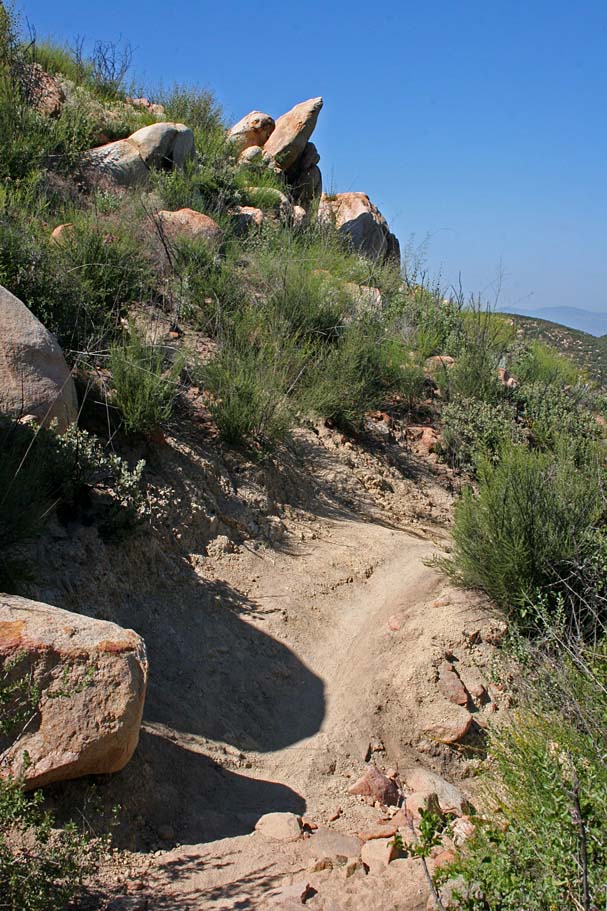
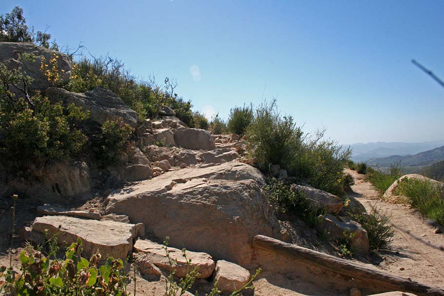
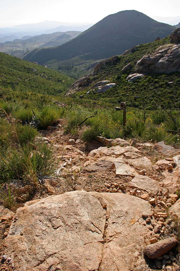
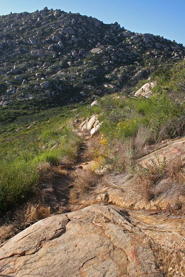
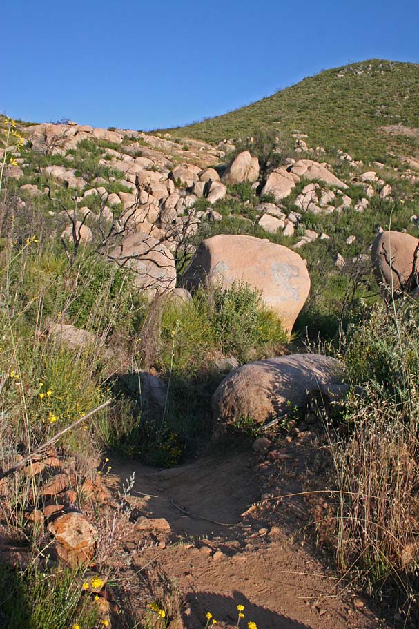
 Turning right you will continue along the Iron Mountain trail where the trail undulates a few times as it travels south along the east side of the mountain. You will find some very aggressive water bars in this area that were made with large rocks. Over the years it has become apparent that while this trail is open to bikes, some folks involved with trail maintenance goes out of thier way to discourage bikes. (We call that a challenge) At around 1.8 miles the trail turns to the northwest for a bit and is fairly tame considering this places reputation. From this point the trail gets a little loose in places and you start encountering some tight switchbacks. The trail will work its way to the north side of the mountain where it will pretty much switchback its way up the north side of the mountain the rest of the way up.
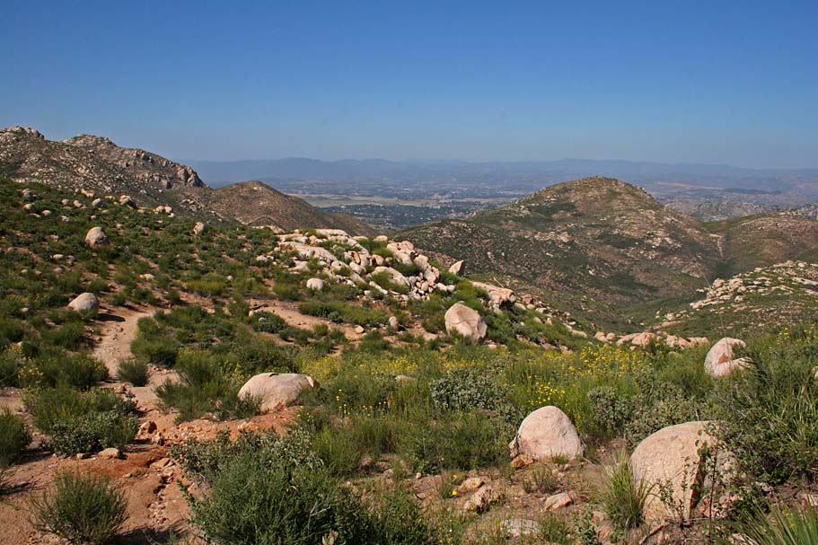
 At 2.25 mile you reach a saddle with a smaller peak on the north side of the
mountain that provides an excellent view of the trailhead you started from.
At 2.25 mile you reach a saddle with a smaller peak on the north side of the
mountain that provides an excellent view of the trailhead you started from.
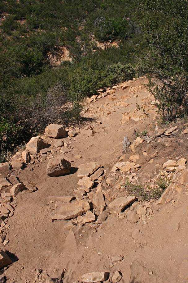
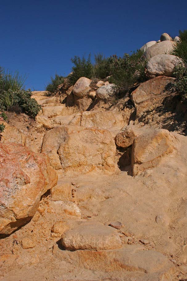
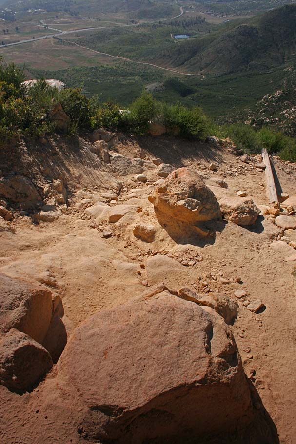
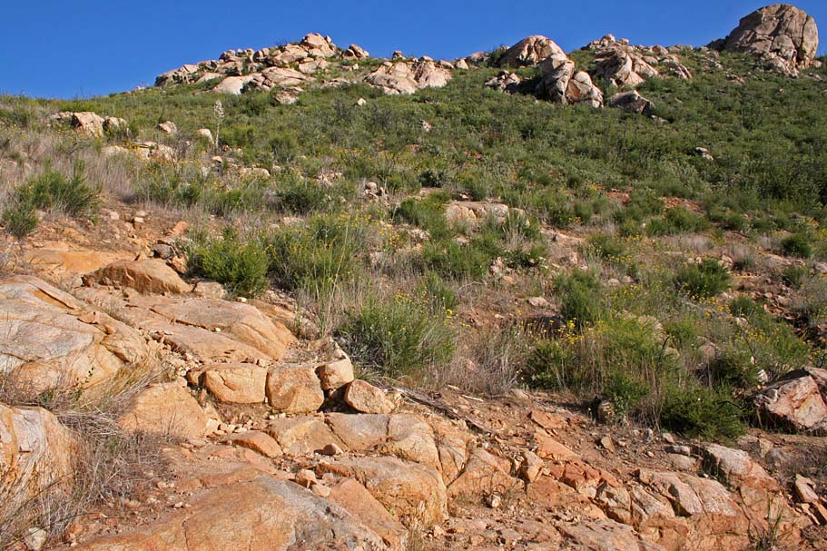
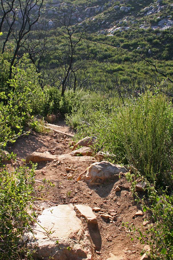
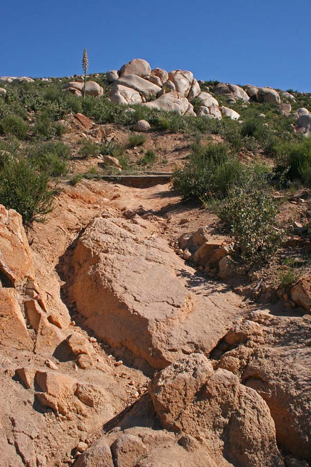 From the small saddle to the peak the trail get dramatically more difficult.
The trail for the most part turns into pretty much solid and large rocks. While you will get a few extremely short reprieves between switchbacks it is basically all technical stuff from here on up. I have heard it said several times, that a hella-strong technically savvy rider could ride up all this stuff if they knew the lines. I could certainly see that theory being true with some sessioning, but I have yet to see a bottom-to-top clean sweep in twenty plus years. For us mere mortals, scope out of lines for the descent while you push your bike up most the chunkier bits.
From the small saddle to the peak the trail get dramatically more difficult.
The trail for the most part turns into pretty much solid and large rocks. While you will get a few extremely short reprieves between switchbacks it is basically all technical stuff from here on up. I have heard it said several times, that a hella-strong technically savvy rider could ride up all this stuff if they knew the lines. I could certainly see that theory being true with some sessioning, but I have yet to see a bottom-to-top clean sweep in twenty plus years. For us mere mortals, scope out of lines for the descent while you push your bike up most the chunkier bits.
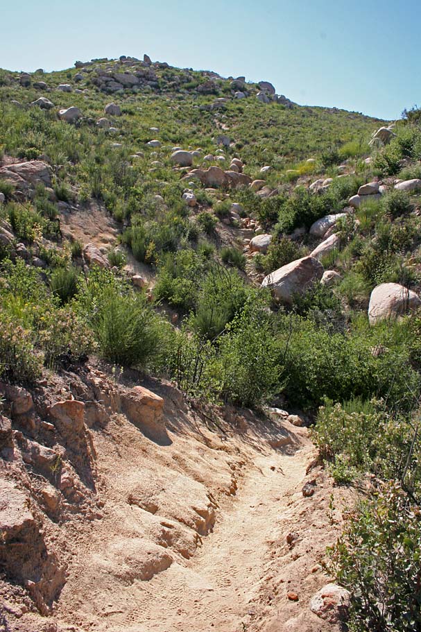
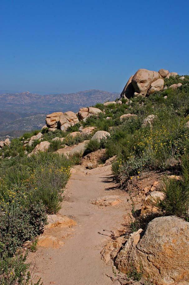
 At 2.9 miles you reach the summit.
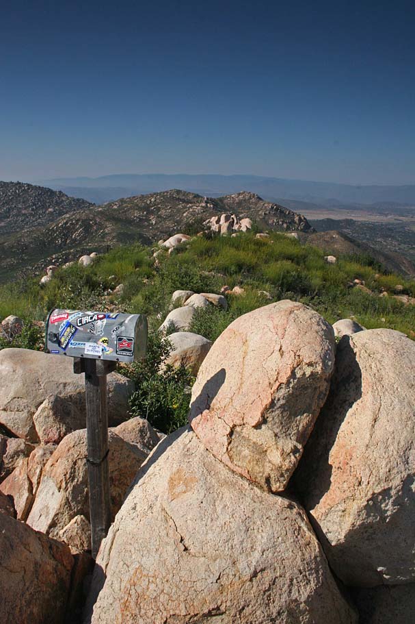
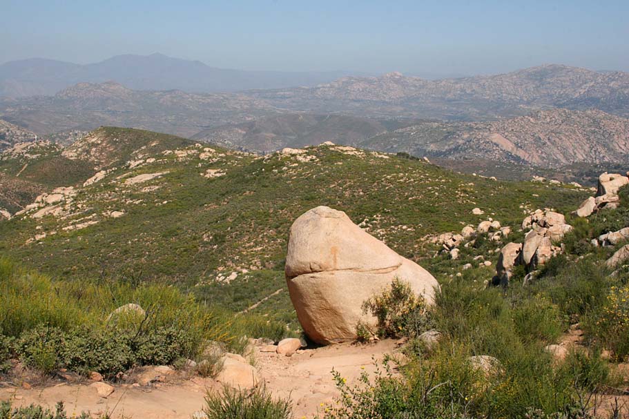
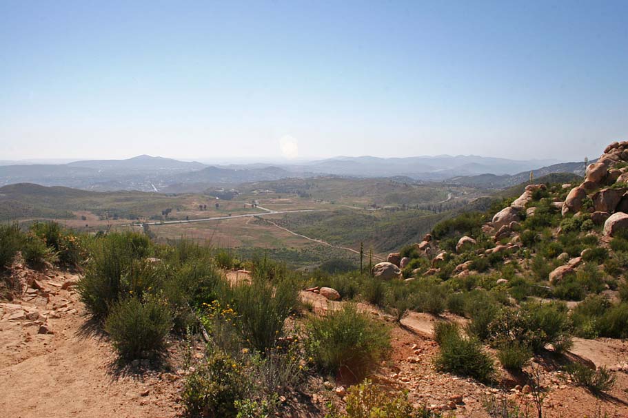
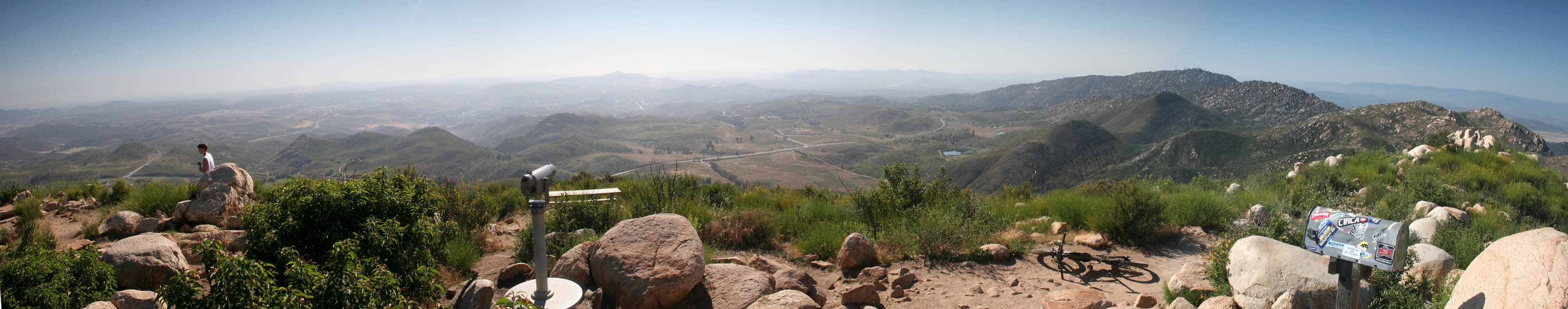
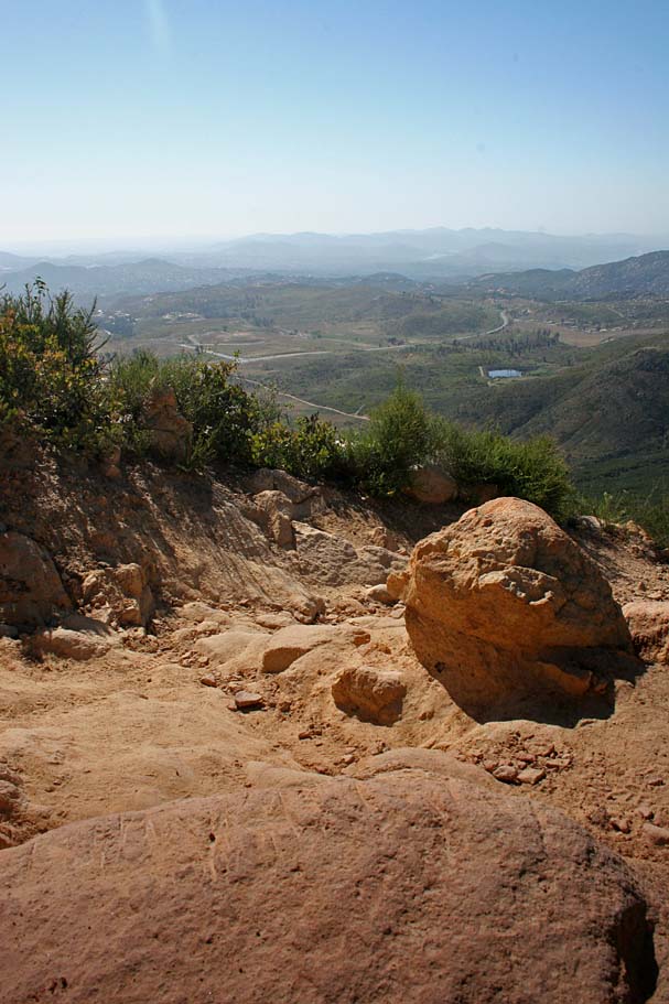
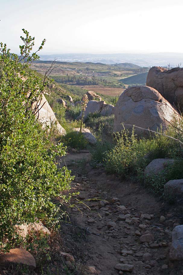
 There are some pretty nice views to be seen from
the top, so enjoy them and take in a snack because the real fun is about to start. The descent down is an extremely challenging and fun descent
that will work you over both physically and mentally. On your first visit here you will most likely not be too disappointed that you hiked some
the stuff on the way up as it should have helped you figure out a plan of attack. Even the best knee/shin and elbow guards are cheaper than stitches these days, so feel no shame in strapping the stuff on at the peak. After bunch of downhill sessioning and maybe a little bit of PTSD at 4.2 miles you will be back at the junction of the Ellie Lane trail and the Iron Mountain trail.
There are some pretty nice views to be seen from
the top, so enjoy them and take in a snack because the real fun is about to start. The descent down is an extremely challenging and fun descent
that will work you over both physically and mentally. On your first visit here you will most likely not be too disappointed that you hiked some
the stuff on the way up as it should have helped you figure out a plan of attack. Even the best knee/shin and elbow guards are cheaper than stitches these days, so feel no shame in strapping the stuff on at the peak. After bunch of downhill sessioning and maybe a little bit of PTSD at 4.2 miles you will be back at the junction of the Ellie Lane trail and the Iron Mountain trail.
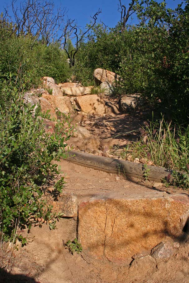
This is the lead-in into the switchback

Another view of the lead-in.
Just a little further down.
Notice the chainrings that have gone before you?
It is steeper than it looks.
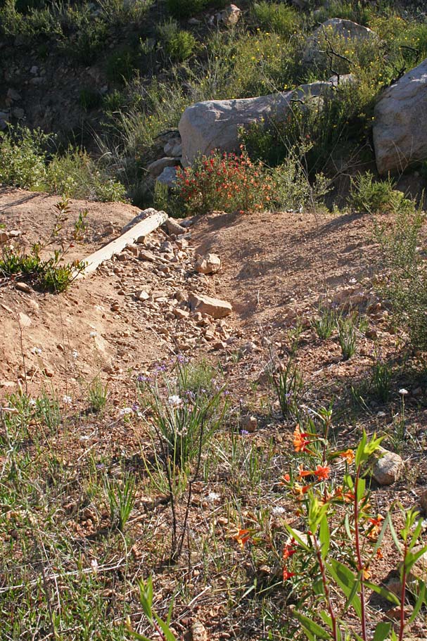
This is another interesting switchback. The log on the downhill side it looks easy, but the moves coming to it make it more difficult
This is about an easy as section of trail you will find on this trail.
The Ellie Lane Trail
 If you are up for doing the Ellie Lane trail after coming down from Iron Mountain,
hang a head north at the junction of the two trails. (Mileage in this
description is from this junction) You will do a very short rise and then start
losing elevation on a fairly tame (compared to the rest of the area) section of
trail. After only 1/4th of a mile, the trail turns back up hill and
you encounter some tight switchbacks that were definitely not build with
mountain bikers in mind. Almost of the the switchbacks have a water
bar smack in the middle of the apex the switchback. This means that on most of
the switchbacks you come up parallel to the log which makes the move through the
switchback much harder as it is a delicate balance of power and finesse to get
over the log and make the turn on the uphill side. You will have quite a
few of these switchbacks to deal with while making your way to the Ramona
Overlook at .6 miles (Point B on the map). The Ramona Overlook is
really not all that picturesque, but if you take a small out-and-back trail off
to your right it leads out to much better views. (I do not know if
this is a legal or trail or not but it is well established.)
If you are up for doing the Ellie Lane trail after coming down from Iron Mountain,
hang a head north at the junction of the two trails. (Mileage in this
description is from this junction) You will do a very short rise and then start
losing elevation on a fairly tame (compared to the rest of the area) section of
trail. After only 1/4th of a mile, the trail turns back up hill and
you encounter some tight switchbacks that were definitely not build with
mountain bikers in mind. Almost of the the switchbacks have a water
bar smack in the middle of the apex the switchback. This means that on most of
the switchbacks you come up parallel to the log which makes the move through the
switchback much harder as it is a delicate balance of power and finesse to get
over the log and make the turn on the uphill side. You will have quite a
few of these switchbacks to deal with while making your way to the Ramona
Overlook at .6 miles (Point B on the map). The Ramona Overlook is
really not all that picturesque, but if you take a small out-and-back trail off
to your right it leads out to much better views. (I do not know if
this is a legal or trail or not but it is well established.)
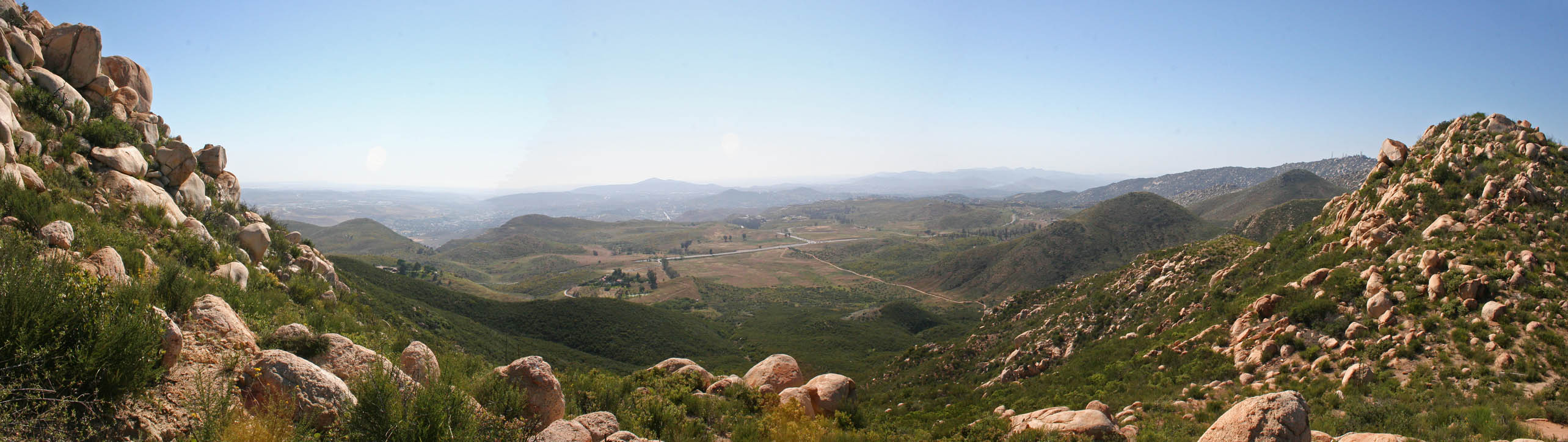
From the overlook, you will switchback for another 1/2 mile to the west up to a saddle to the west of the overlook at 1.0 miles. For me, this saddle should be the overlook as the views are much better from this point.
 The saddle above the Ramona Overlook looking east.


From this saddle the trail gets extremely interesting. The trail drops almost 400' in the next 1/2 miles making this something around 19% grade. The grade combined with some terrain makes for some down right gnarly sections. They all have doable lines in them but without having the benefit of seeing them beforehand like going up the Iron Mountain trail, committing to some of these without having a peak first is mighty ballsy to borderline foolish. There are some pretty cool combination moves along this section coming down from the saddle, and many times they come at you in a BAM-BAM-BAM no rest for the weary kind of way. For me this was technical skills, reality/gut check section.
Looking down to the east

Another well placed waterbar
Yep there is a line there
Looking back up at the saddle you came from
(#5) Down near the bottom
 At 1.4 miles you come to the junction of the Ellie Lane Shortcut. You need to take stock of you energy level, water and how much more of this stuff you want to tackle on this outing. If you feeling closed gassed you should take shortcut to your left and short circuit this loop as there is much more work to be done otherwise. If you are feeling stick to the right where the trail crosses onto another slope to the north. You are now traveling west with the downhill slope to your left. (Your
general view should be like the picture #5 above and on the far right-hand side). It is in this area at 1.5 miles where there is a bit of
trail confusion. Notice on the map that I have drawn is some trail in bowl shaped area at Point G labeled "Illegal Trails". I am
assuming these are illegal since they are not on the published maps or descriptions. Look for a split in the trail in a almost flat area. You want to take the split to the right that turns and switchbacks uphill.
At 1.4 miles you come to the junction of the Ellie Lane Shortcut. You need to take stock of you energy level, water and how much more of this stuff you want to tackle on this outing. If you feeling closed gassed you should take shortcut to your left and short circuit this loop as there is much more work to be done otherwise. If you are feeling stick to the right where the trail crosses onto another slope to the north. You are now traveling west with the downhill slope to your left. (Your
general view should be like the picture #5 above and on the far right-hand side). It is in this area at 1.5 miles where there is a bit of
trail confusion. Notice on the map that I have drawn is some trail in bowl shaped area at Point G labeled "Illegal Trails". I am
assuming these are illegal since they are not on the published maps or descriptions. Look for a split in the trail in a almost flat area. You want to take the split to the right that turns and switchbacks uphill.
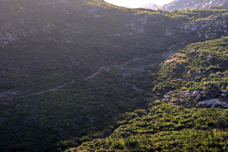
 Once you make the right split the trail switchbacks then works it's way northward above the eastern side of the bowl. There are some pretty rugged and tight switchbacks in this section but not to the same degree as the drop from the saddle earlier. The trail drops down into the northeastern corner of bowlish area where you will pass by the "North" shortcut trail splitting off to the left. It is the predominant trail and you need to look off to your right as that is were the Ellie Lane trail proper goes. At this point your are 1.95 miles from Iron Mountain junction.
 Continuing on the trail, it gains quite a bit of elevation (200') in the next 2/10ths of a mile as it goes up to the table rock area (Point A on my old school map). I often feel pretty freaking beaten at this point and exceptionally happy to see the trail turn downhill just after table rock. To the left is a picture looking back from the table rock area back across the bowl to the south-southeast. You can see both the trail coming down from the saddle and the trail working it's way northward on the east side of the bow.
 The descent down from table rock was much easier than the last few up and downs but it still has it spots. The trail weaves through and by some large boulders on it's way down to the west. At around 3.1 miles you should see a trail splitting off to your right. Taking that right will quickly take to the Ellie Lane Trailhead a little over a 1/4 of a mile directly west. You will want to continue straight onto the Wild Horse Trail.
 The Wild Horse trail is a smooth and welcome change as you might be suffering from a bit of Post Traumatic Stress Disorder from all of the technical stuff by the time you get to this point.

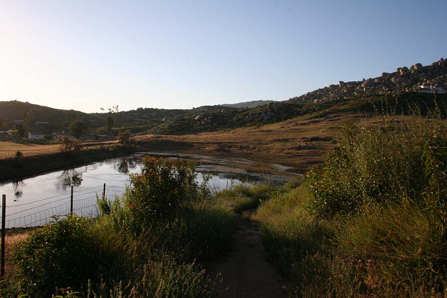
Wild Horse is just under a mile long and passes by a couple of small ponds before connecting back up with the Iron Mountain trail. Hang right and spin back to your car at the main trailhead. This is one of the hardest 10ish miles you can do in the area. This place never really makes it on my weekly ride list, but a few visits a year, particularly in the non-summer months is enough Iron in my diet. If you feel like you are due for a technical reality check this might be the ride for you.