
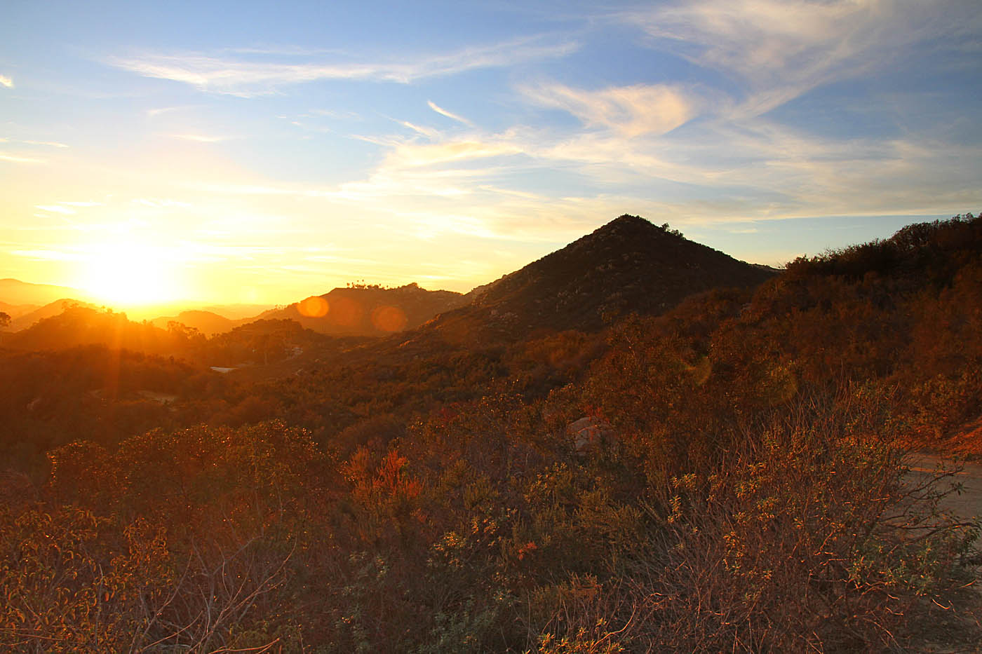
Daley Ranch
Daley Ranch is a 3,000 acre nature preserve located in the hills north of Escondido, CA about five miles off of I-15. This preserve is named after the Daley Family who used this property as a working cattle ranch up until the 1980s. The community of Escondido, spearheaded by the Friends of Daley Ranch organization, ultimately saved this area from being developed in the 1990s with the city purchasing the property from would-be developers. The Ranch has a myriad of old farm roads and trails that can easily be combined to over 25 miles. Most of the riding is rated as intermediate but there is something for everyone here. With one exception, there is no way to go but up from any of the parking lots so you will become a better climber if you play here often.
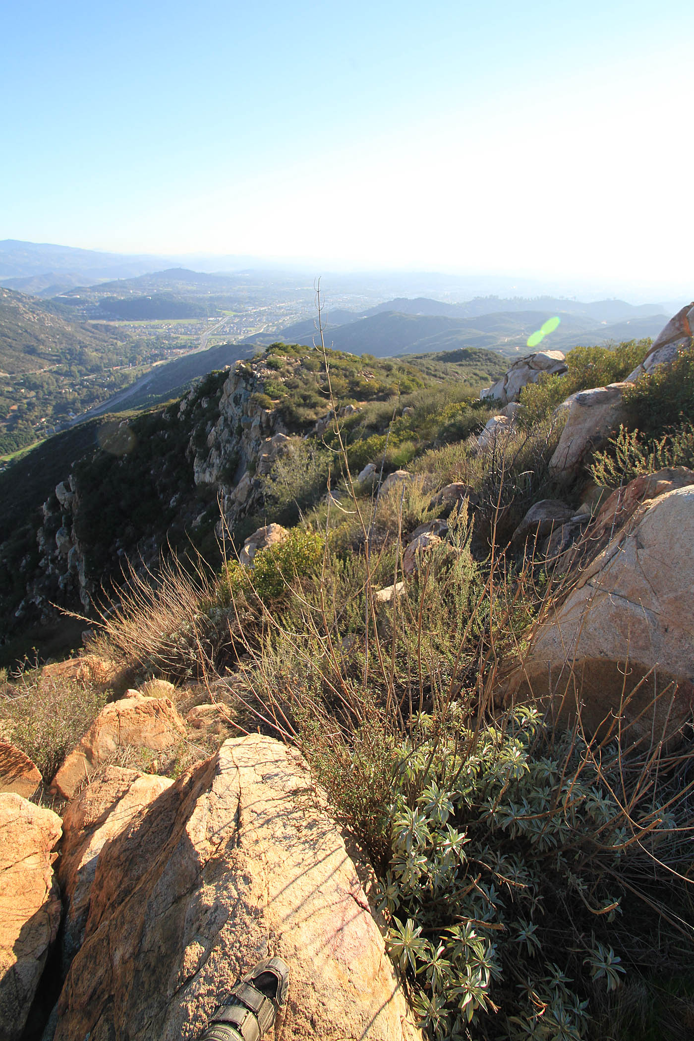
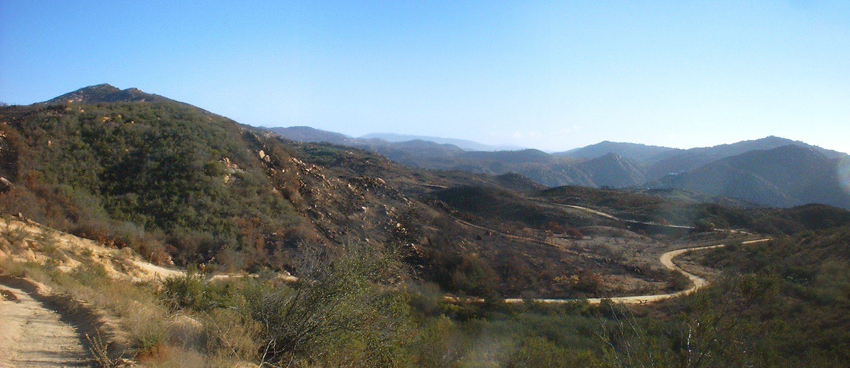
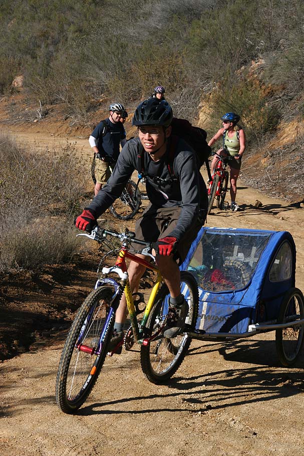
Along Jack Meadow
Directions: From San Diego take the I-15 north to El Norte Parkway exit. (Next exit after HWY 78). Take El Norte Parkway east for about 3 miles. Go left on La Honda Drive (you will see signs for Lake Dixon) and go up the hill for 1.5 miles to the end of the road where your options are the parking lot left or Lake Dixon on the right. Hit the parking and get ready to hit the trail at the north end of the parking lot. Get directions from your current location.
HAZARDS: It can get hot here during the summer so you may want to avoid the middle of day during that time of year. The ranch sees a lot of traffic on the weekends so stay sharp. In 2021, the staff (using a series of electronic trail counters) registered 200,000 users of the trail system.
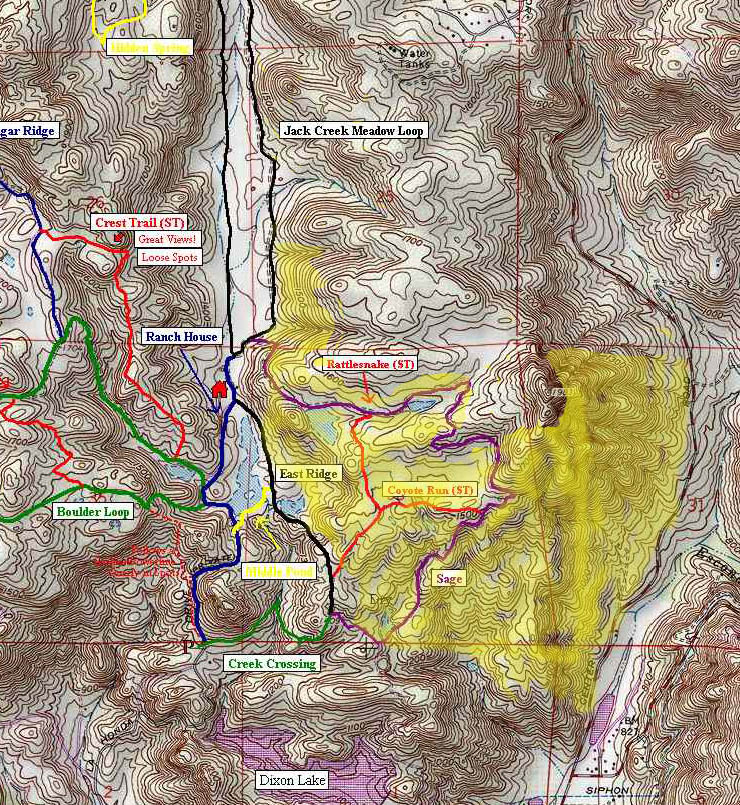
Download my PDF Map for Daley Ranch.
These GPS files contain the trails as individual segments: GPX, GDB, KML

Route Descriptions: In the trail notes section I talk a bit about the trails themselves. Here I'm going to give a recap of the long, medium and short routes linked above. The GPX icon will let you down the route file, while the trailfork icon take you to one of my ridelogs for the route.
The long route is 19.4 miles and about 3,000 feet of climbing. From the main parking area I go right and take Creek Crossing to the Sage trail. While on the Sage climb I tack on a loop with Quail Run and the upper portion of the Caballo trail. I then continue on the Sage Trail up and over down into Jack Meadow. I think take the east side of the Jack Meadow to the Hidden Springs trail where I grunt my way out of the meadow to Engelmann Oak. From there I hookup with the Burnt Mountain Trail to catch the north side of Engelmann Oak and then head northwest to the Bobcat Trail. After dropping the Bobcat trail I grunt up to Cougar Ridge and head south past the turn off for the Crest Trail. When I get to the Boulder Loop, I turn right and take Boulder Loop to the Rock Ridge Trail. When I come of of Rock Ridge, I turn right on Boulder Loop and work my way back to Cougar Ridge and then north to the Crest Trail. I then drop the Crest Trail. After the Crest Trail I make a left on the Ranch House Road. AFter passing the Ranch House I turn right on the Jack Meadow Loop and then get back on the Sage Trail. I retrace my way back to the parking lot.
The medium route is 14.4 miles with about 2,400 feet of climbing. Like the long route, I hang a right from the parking area and take the Creek Crossing and Lowe Sage fireroads. I skip Quail Run on this route and continue on the Sage up and over into Jack Meadow. I take the east side of the meadow and once again grunt out of the meadow on the Hidden Springs Trail. I still do both the Burnt Mountain and Bobcat trails which means a grunt up Cougar Ridge. I still take Cougar Ridge to Boulder Loop to Rock Ridge and make my way back to the Crest Trail. After the Crest Trail I turn right vice left and work my way back to the parking lot via Ranch House Road.
The short route is 8.2 miles and 1,200 feet of climbing. From the parking area I climb up the paved Farm House road. After the road descends I take the first entrance for the Boulder Loop trail. It is time to get the climb on. After good bit of grunting I pass by the bottom of the Rock Ridge trail on the right and continue climbing the Boulder loop. I think peel off the Boulder Loop when I get to the top of the Rock Ridge trail. After the Rock Ridge trail I make a right back onto the Boulder Loop and retrace my path on the Boulder Loop. I take the Boulder Loop all the way to Cougar Ridge where I turn left (north). I then turn right onto the Crest singletrack. After that bit of goodness, I turn left onto Ranch House Road and then turn righ onto the East Ridge fireroad (if you get to the Ranch House, you went too far). The East Ridge fireroad has one seriously steep section/wall to deal with it. I pass by Creek Crossing and continue down to Sage where I hang a right. Shortly there after I hang a righ onto the Dixon Lake Access and work my way back to the parking lot.
Not linked above, but from the parking lot the easiest way to see some of Daley Ranch is to take Farm House Road to the Meadow and then do a loop around the Meadow and back to the parking lot. This would be about six miles and maybe 600 feet of climbing.
Trail Notes: This is one of my earliest pages here in the site dating back to 2002. Some of these pictures were shot on a 1.2MP camera. My blog was not started until late 2007 so some sections of this page was used for that purpose. Please make sure to check out the blog for recent updates.
From the parking lot you have the option of heading up and north on the paved road or you can hit a trail to your right. If you are only doing a portion of the ranch at once this is your best way to split up the ranch down the middle of Jack Creek Meadow. My opinion is that the western half of the ranch has the best trails but it also the steepest climbs and they hit you pretty soon into the ride. For me I not usually warmed up when I hit them so I generally like the hang a right at the trailhead. There are also trail maps available at this split so pick one up.
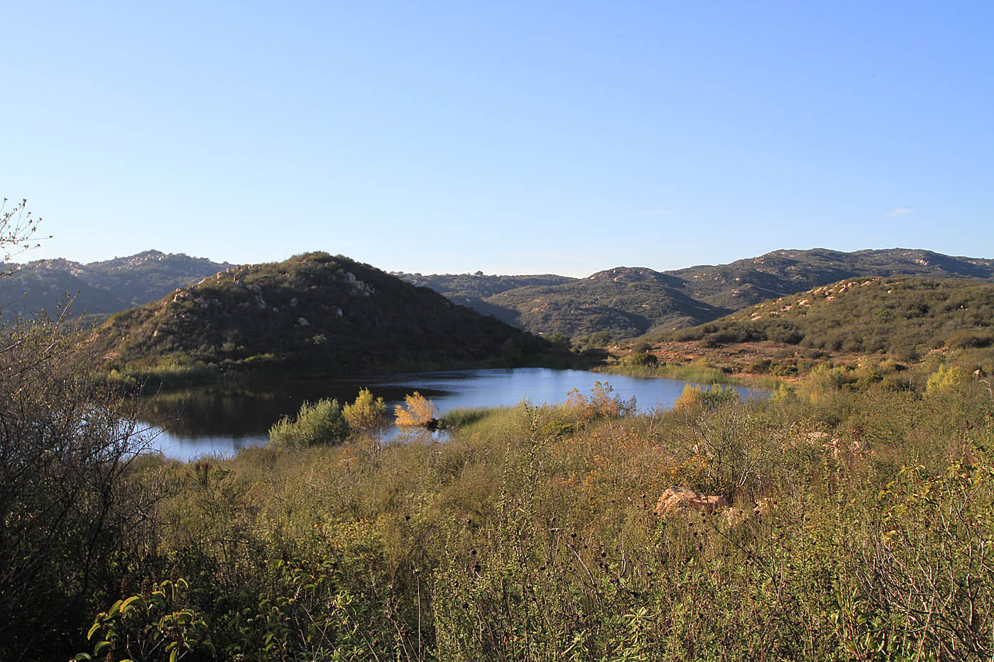
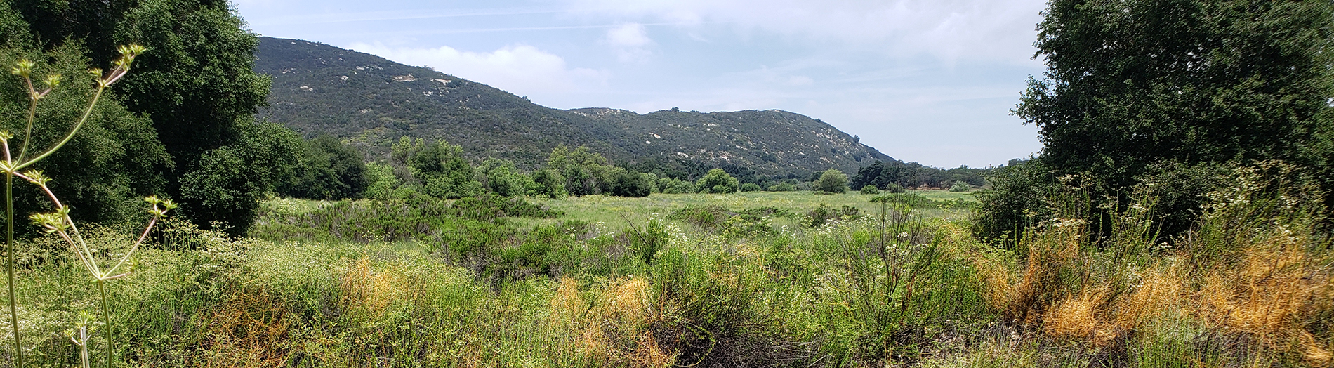
Creek Crossing and on to Sage Trail (green and purple on my map) offers a great warm-up climb. It offers you some great views of the surrounding mountain ranges as well as a small pond which often is home to ducks. The climb is pretty much a hard packed fire road with a few ruts and loose spots the will not give most riders any problems. If you continue along the entire length you come over a small rise to the see the Jack Creek meadow below you and to the north. Jack Creek Meadow with its flowing grasses and sporadic trees offers a stark contrast to the rocky hilly climb you have just finished. As you descend down into the meadow watch the trail closely as it can surprise you will unexpected ruts and rises that can give you some unplanned airtime. The trail makes sharp left-hand turn at the bottom. It is obvious to see from the tire marks into the brush that some other riders missed it. Shortly after the turn you intersect with the Jack Meadow Loop trail. To have some real fun on this trail peel off onto either Coyote Run or Rattlesnake single tracks shown on red on the map take them to the intersection of the East Ridge trail and (Black on map) then head north on this roller coaster of fire road to the Ranch House.

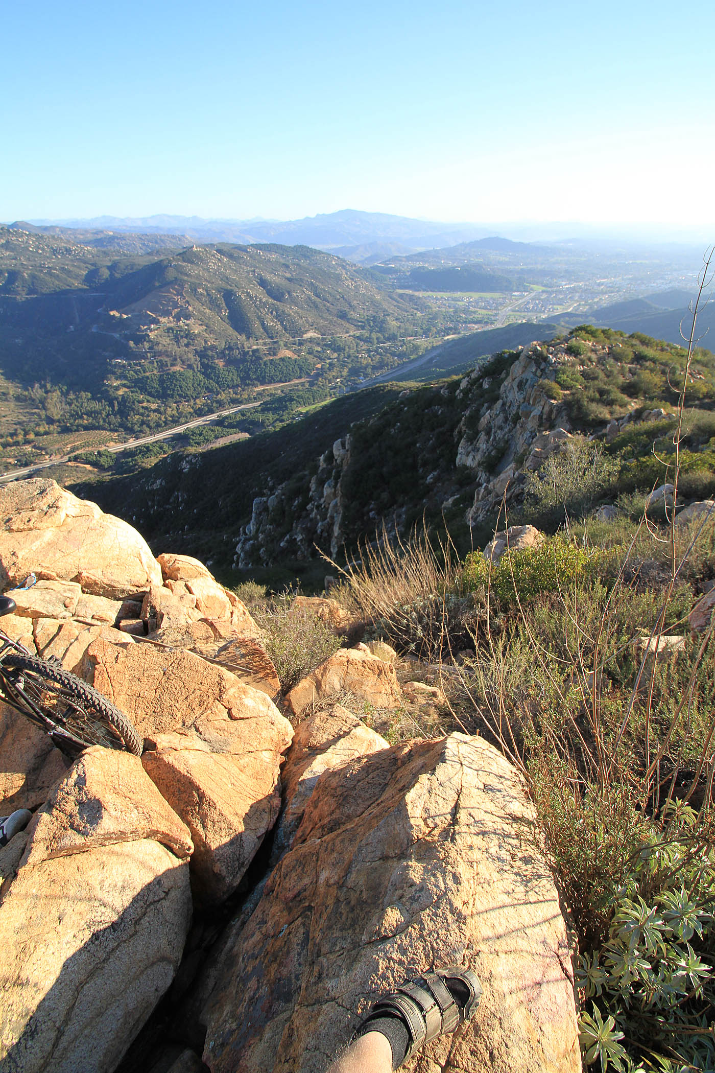
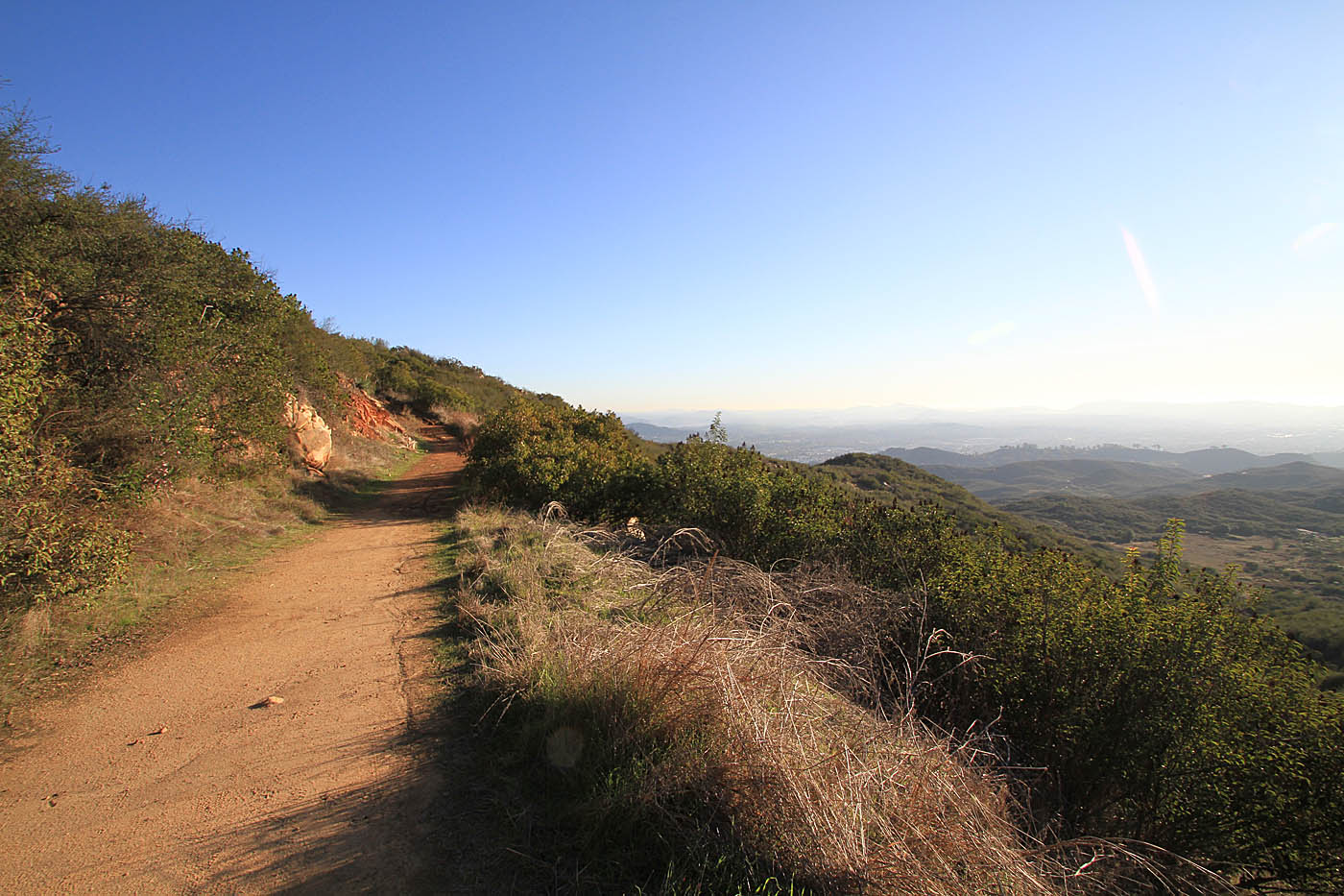
The Stanley Peak and the Old Water tank trails come off of the Sage trail and offer some great views along with a challenging climb up to the peak. The Stanley Peak climb is always steep (gaining about 377 ft in a little over half a mile) but the difficulty changes year-to-year depending the erosion and maitenance cycle. The climb is not on my "normal" loop I do out here but it is well worth doing and it will certainly slap some spice on your legs if you are in the mood. The Old Tank trail is best done downhill coming off of the Stanley Peak trail. It is fairly technical but that is more a function of erosion vice design. This was orginally a social trail that was adopted into the offical trail system.
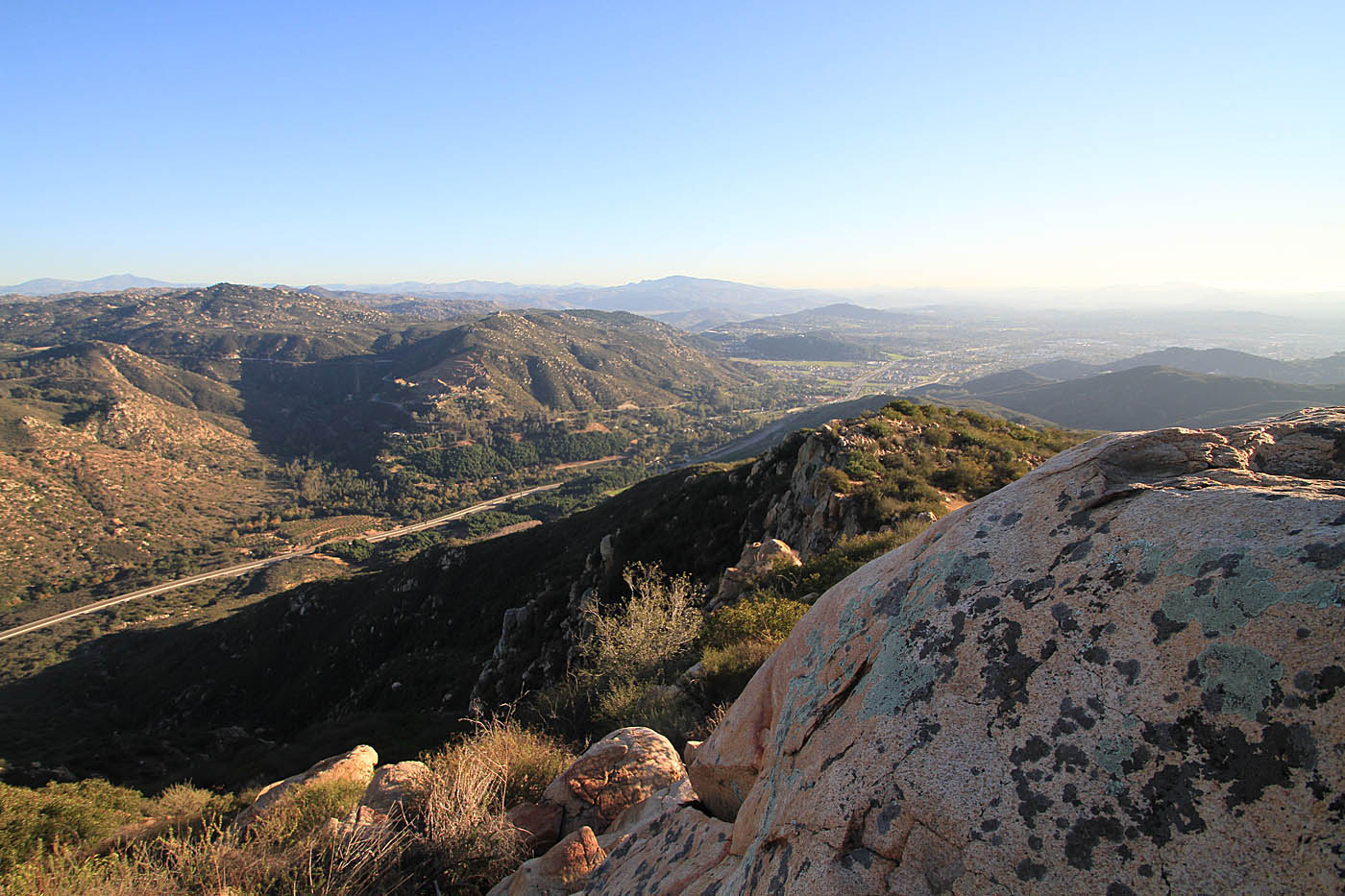
Views from along your way up to Stanley Peak
The Jack Meadow Loop is not a trail I go out to ride on purpose. It always ends up as a connector trail for me, but it is always fun to ride. It is for the most park flat with a slightly higher elevation at the north end. You can certainly get some good speed built up on this stretch of trail.
The Ranch House is a good place to stop and use the toilets and fill up the water bottles or bladder. Palomar Mountain Spring Water has a free water facet setup out there just for you. What a deal. A Port-a-Potty is there as well. From there I head south on the dirt road that quickly becomes paved. There two trails off to your right as you go along the road.

Both of these trails are part of the Boulder Loop Trail (Green). If you take the first one you are in for a really steep fire road climb that just grinds on you to no end. I generally take the second trail to the right. The trail has a really steep loose section but it is very short and then the climb is pretty easy with plenty of flat spots. The Rock Ridge single track is a nice trail that pretty much splits the loop in half. There are some technical spots but this is easily rideable from either direction. I like this single track enough that I when I do Boulder Loop I will either ride Rock Ridge in both directions then continue along my way on or Boulder Loop or I will ride Rock Ridge and then loop back around on Boulder Loop.
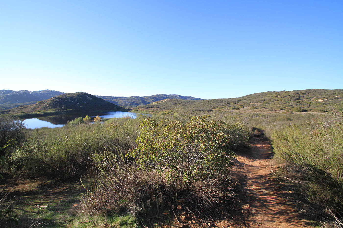
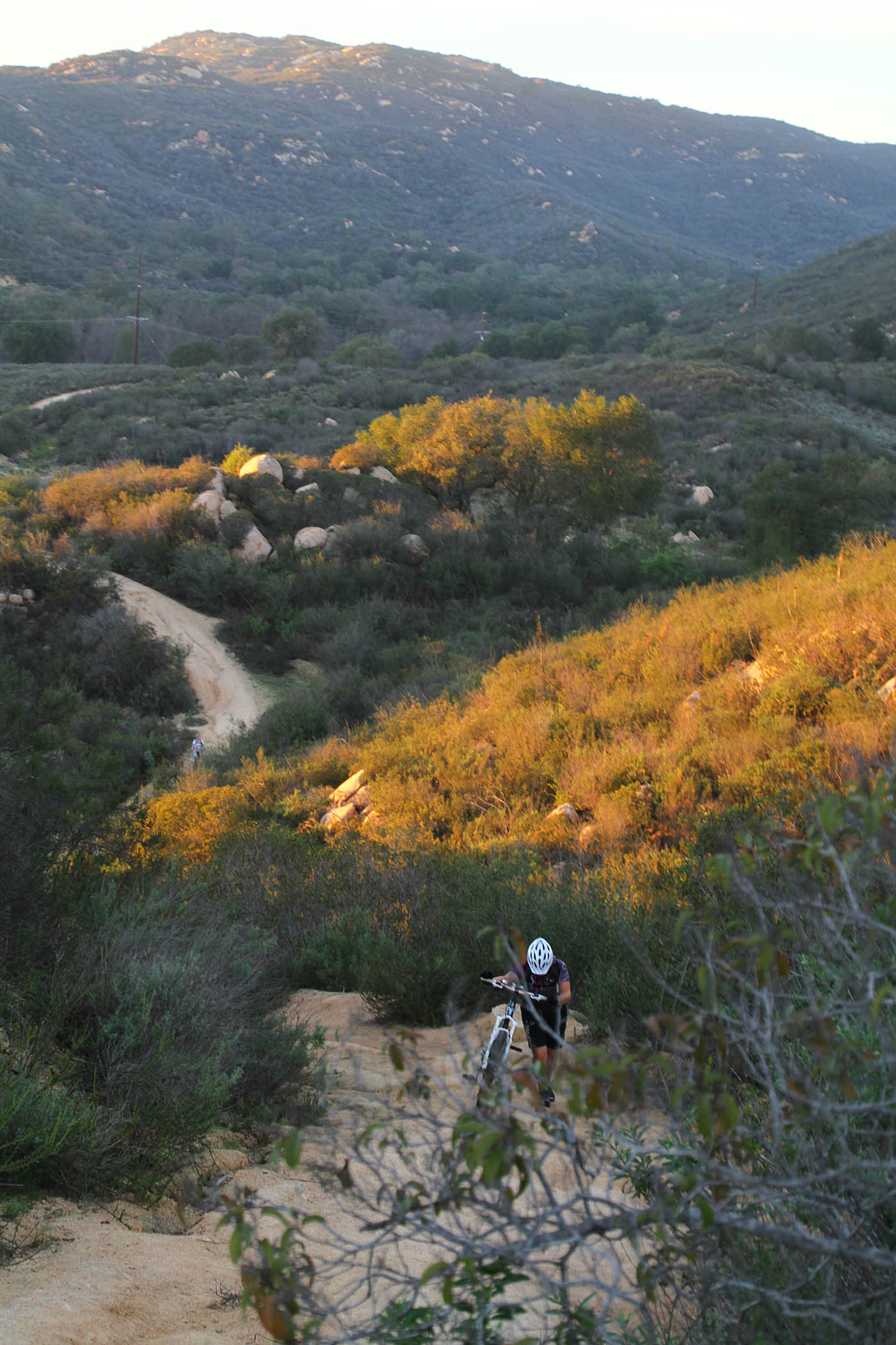
At the top of boulder loop I usually take the Cougar Ridge Trail (blue). This trail runs along the top of a ridge line and allows you to do some fun roller-coaster riding. Soon you will come to a Y-junction with the Engelmann Oak Loop Trail (green). I think the only way to go at this point (for max fun) to bear to your right along the Engelmann Oak Loop. You will continue onward and upward trough some oak trees until you will see a single track off to your left. This is the Burnt Mountain single track. This trail is short but it is a tight rocky, often rutted single track thatrequires some Body English to clean some of the tight narrow turns. Taking this single track you will bring you back on to he Engelmann Oak loop. If you decide not to do the single track and stay on the Engelmann Oak loop you will soon come to the junction of the Hidden Spring trail. This trail is all fire road which features a fairly steep loose downhill that is a lot fun and can really test your high speed cornering skills. Hidden Spring will drop you into the north end of Jack Creek Meadow.


The north side of the Engelmann Oak Loop is very beautiful with Oaks hanging over the trail breaking up the rolling meadow. You can even get into the big chainring and kick it up a notch to do some roller coasting. What I really like about riding this section is that leads to the Bobcat trail.
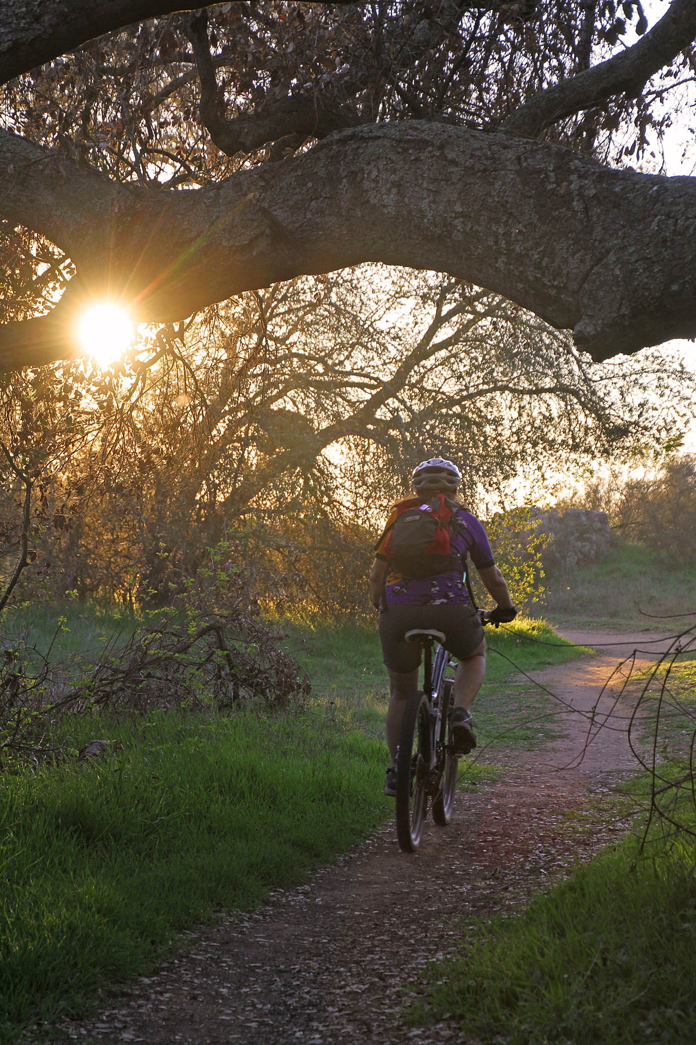
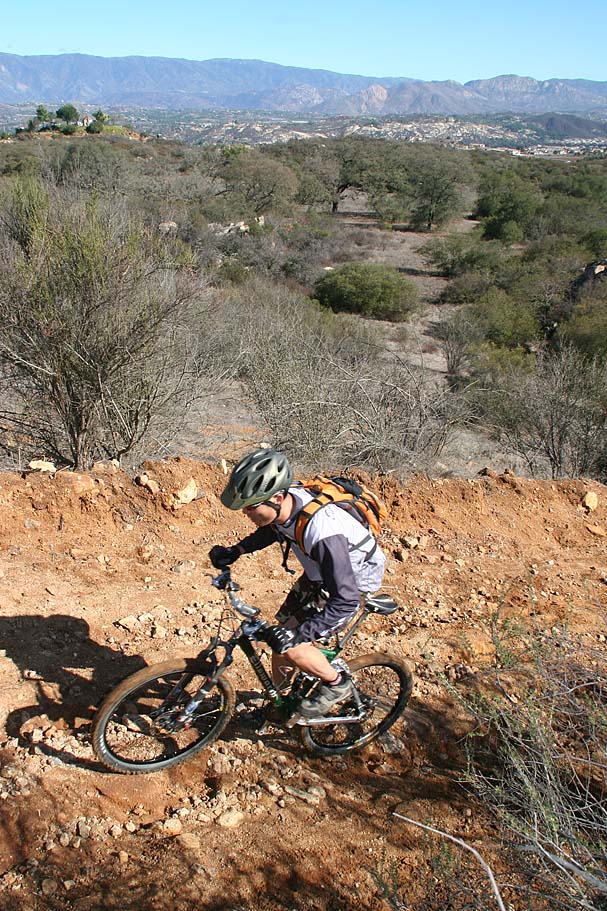
The Bobcat trail is the fastest smoothest single track on the entire ranch. This single track only has a few rocks on the trail that can be a bit of a technical obstacle when at speed. Starting from the north end makes this a downhill ride that really begs you to air it out. Sometime around 2020/21 some mild jump features have been added to the trail. None of them are mandatory. The terrain and vegetation just off the trail are such that the penalty for failing to perform is not too steep which will helpgravity cast her spell on you. The trail starts out in an open meadow and the trails appears to be a double track but it quickly shrinks to single track and a full flora canopy envelops this gem of a ride. This ride is so beautiful in spring it is hard to keep you eyes on the trail, but at the speeds you maybe going you better keep them on the trail. There are a couple of turns that require some good bike handling and braking skills if you are trying to do the speed demon thing. There is one S turn that I especially like because it is fairly hard packed withsome mini-banks that allow you to really get some good leans going. Near the end of the trail you bottom out elevation wise and start up a hill. You can cover a lot of the up hill just from thespeed you carry into the hill. This is a multi-directional trail so you do have to watch out for climbers. Do the world a favor and don't climb this trail.


The end of the Bobcat single track bring you back onto Cougar Ridge Trail. This section of trail is all up hill but after such a fun downhill you should be ready for a climb. This climb will grind on you and there are some rocky loose sections. But keep plodding along and you will finish the climb at the Y-junction you pass previously. From here I usually back track back south along Cougar Ridge and hang a right onto the Crest trail. This is one seriously fun single track. The trail starts off in a flat meadow ofgrass and sage brush. The trail then gives way to some really gnarly loose sections that will test skills. Momentum and the right line are key factors in getting through these sections. This trail offers exceptionally great views of the entire ranch. In between the gnarly sections there are some incredibly fast roller coaster style hills. You will ultimately find yourself and back at the Boulder Loop trail with a strong desire to do this one again. From here you have a multitude of options for continuingyour ride or you can head south on the paved Ranch House trail back to the parking lot. My usual return back to the parking lot path is to take the paved road until I meet up with the Middle Pond trail that allows me to connect to the East Ridge trail. I take the East Ridge Trail south to the Creek Crossing and then back to the parking lot.


Video
Some of my favorite single tracks in 2021
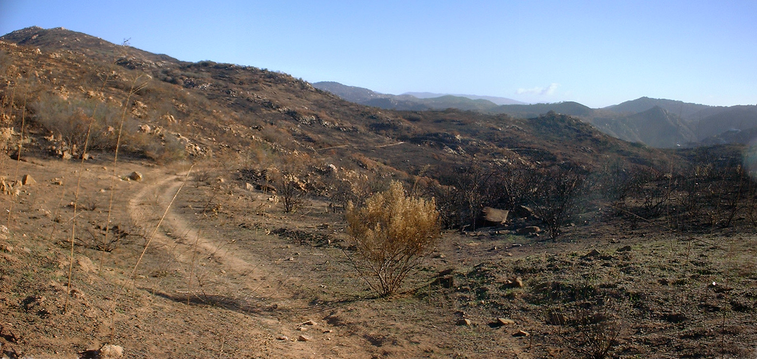
2003 Paradise Fire Damage
Around 700 acres of Daley Ranch where burnt during the
Paradise Fire. Most of the damage was done on the east side of the
Ranch. You can click here
for a rough sketch of the damaged areas. The yellow shaded area is roughly
where I saw damage. The Sage, Coyote Run, and Rattlesnake trails where
burnt on both sides for most or all of their length. The East Ridge and Jack Meadow
trail (east side) where only burned on the east side.
These photos were taken on November 22nd, 2003.
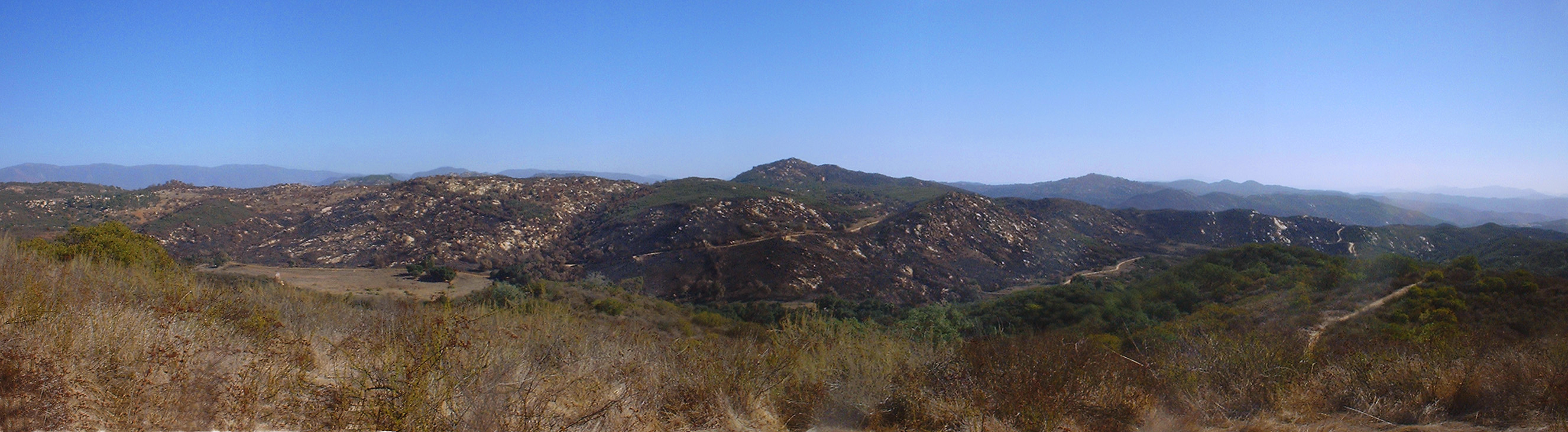 Here is a view of the east half of the Ranch from the Crest trail looking
across Jack Meadow
Here is a view of the east half of the Ranch from the Crest trail looking
across Jack Meadow
 Here is a view from the Creek Crossing trail looking east at the the Sage
trail.
Here is a view from the Creek Crossing trail looking east at the the Sage
trail.
 A singletrack heading off to the east from the Sage trail that you would be
hard pressed to notice before the fire.
A singletrack heading off to the east from the Sage trail that you would be
hard pressed to notice before the fire.

Looking up the Sage trail

Looking south from about 3/4 the way up the Sage trail.

Here is rock formation that was not that far of the trail that we noticed because of the folage.

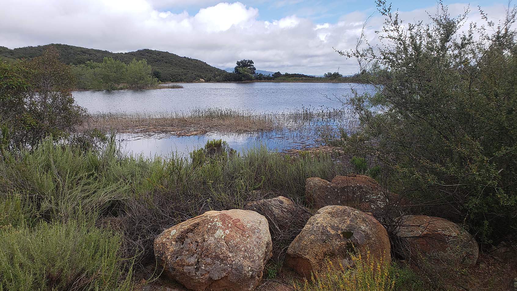
The small lake along the East Ridge trail

Looking down the Coyote Run single track.

Only 3 weeks after the fire and there are already sprigs of grass coming up.
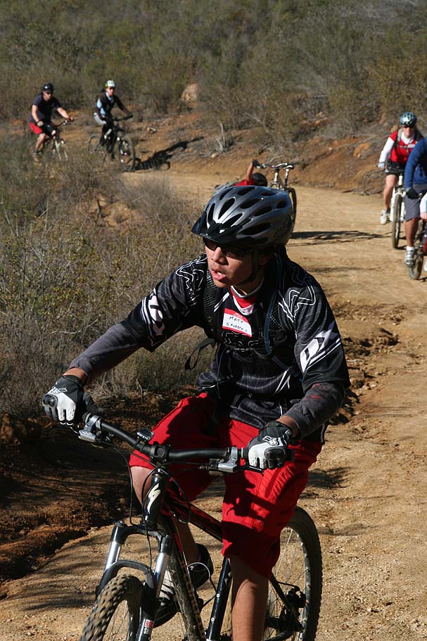
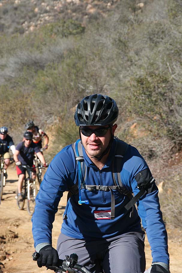
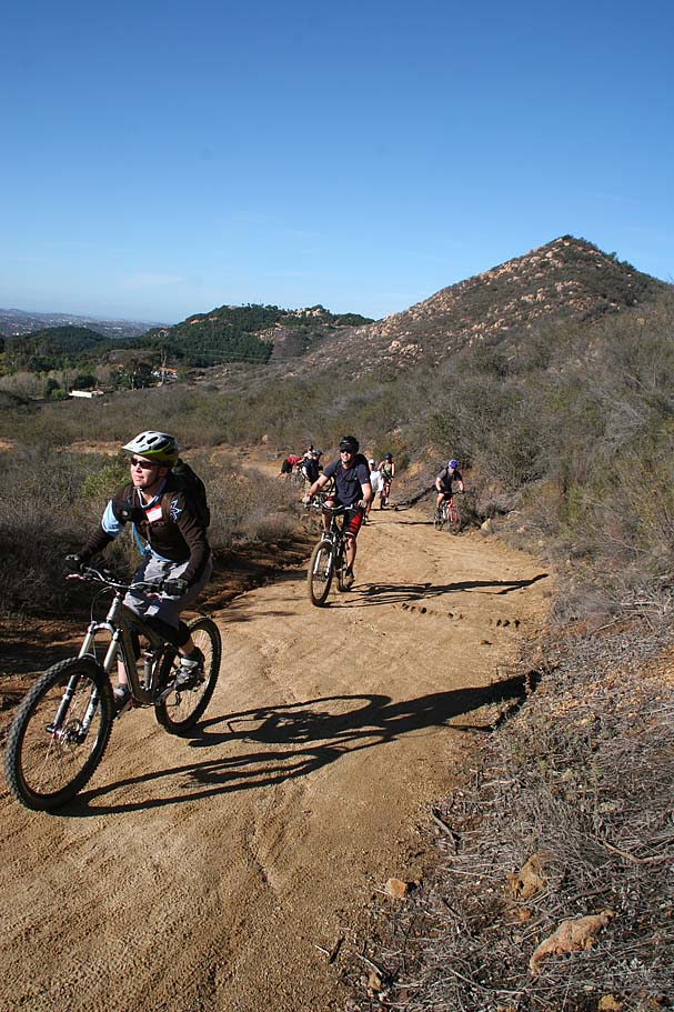
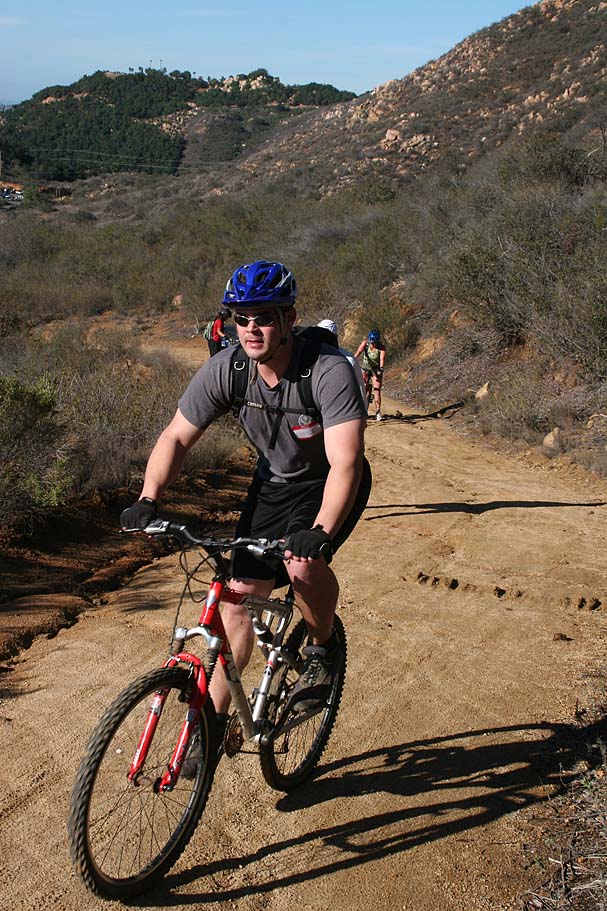
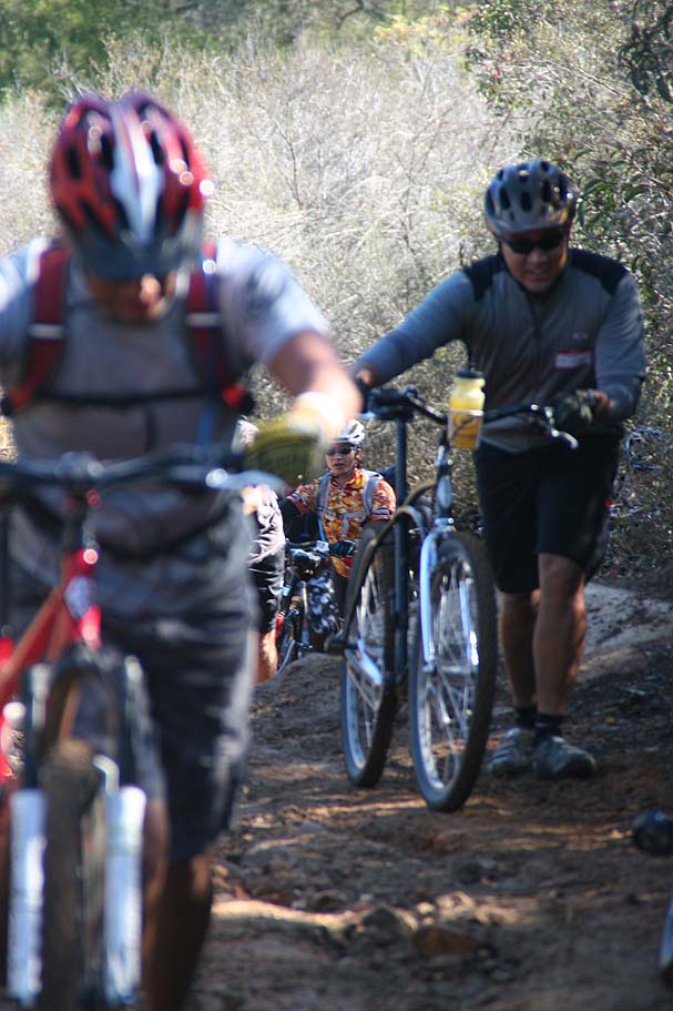
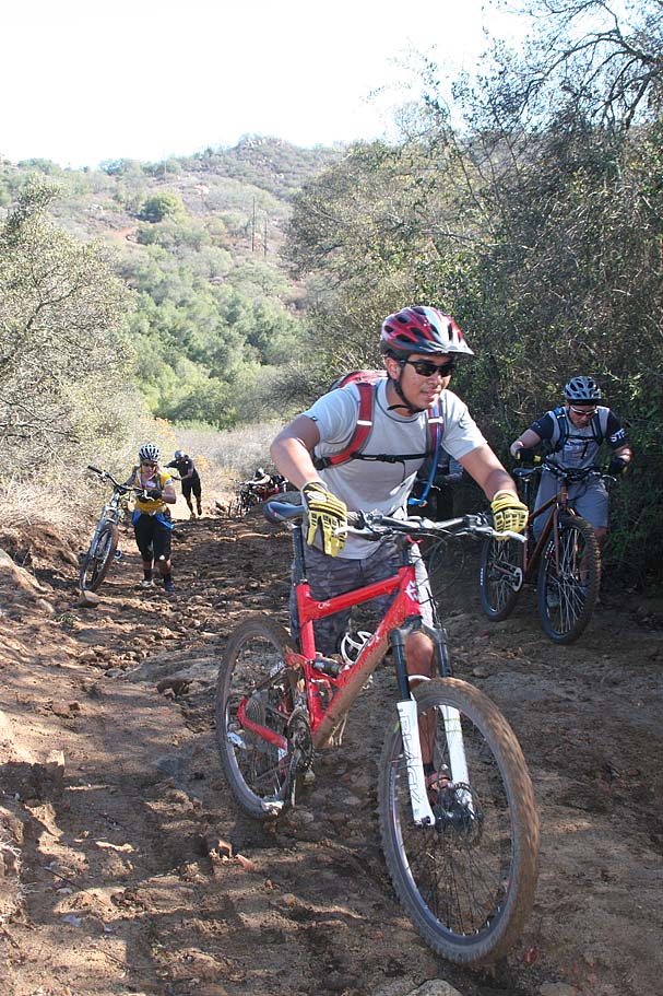
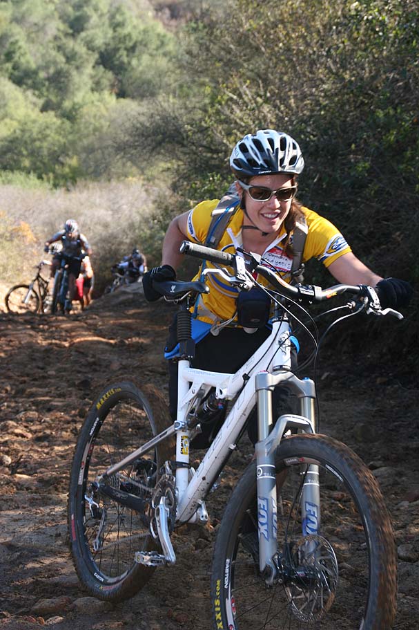
December 2nd 2007 SocalTrailRiders Sladnas Ride 
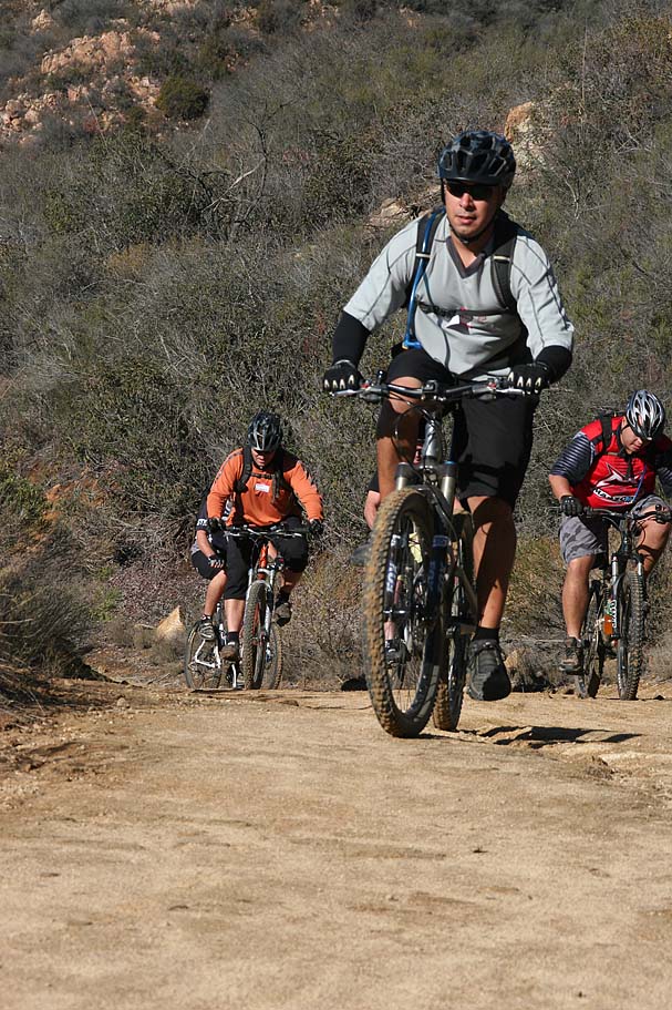
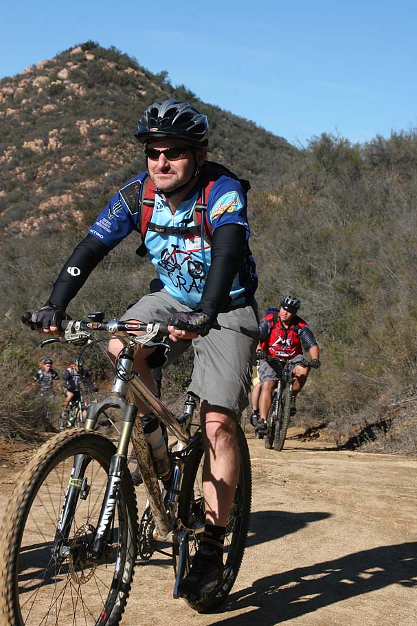
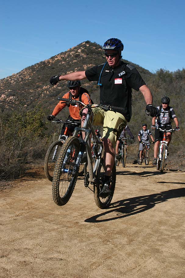
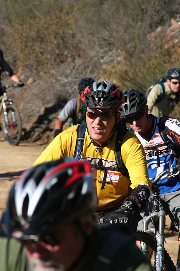
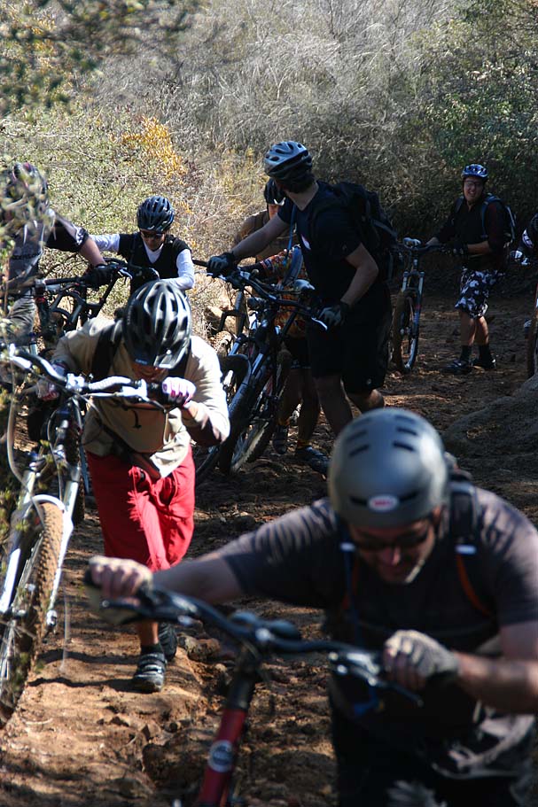
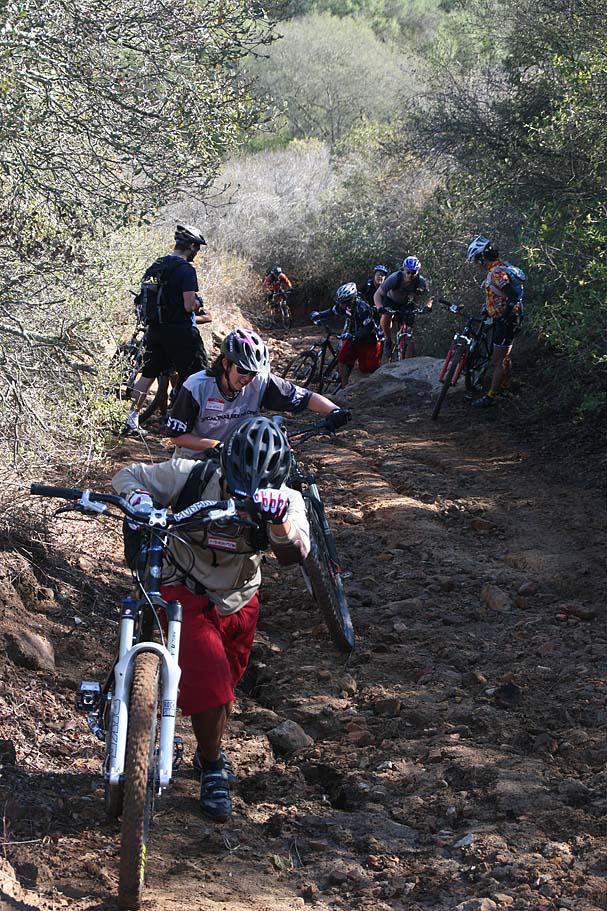
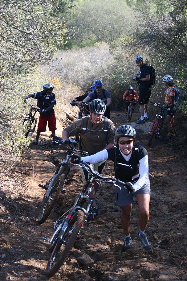
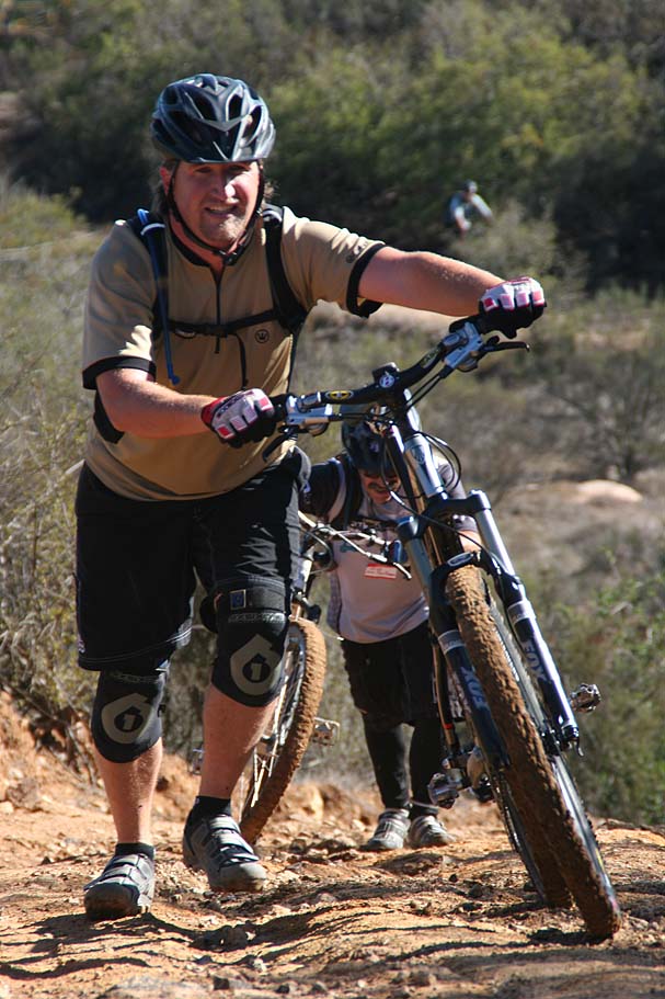
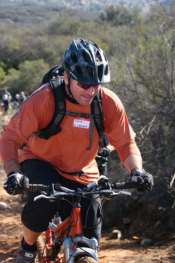
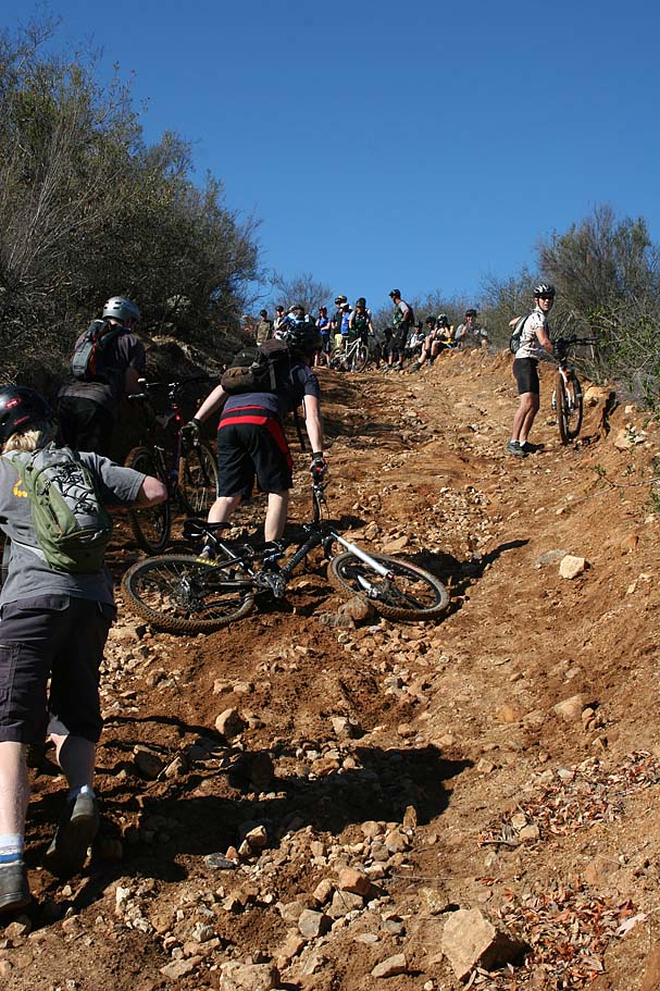
Mark (aka "Sladnas") and his wife lost their house in the 2007 Wildfires. The members of the SocalTrailRiders.org site got together and donated enough money to put Mark on a brand spanking new (and quite tricked out) Yeti 575. It was an awesome display of the MTB community coming together to help out one of their own. There were around 70 plus riders making for a quite a festive day throughout the park. Here are some pics.
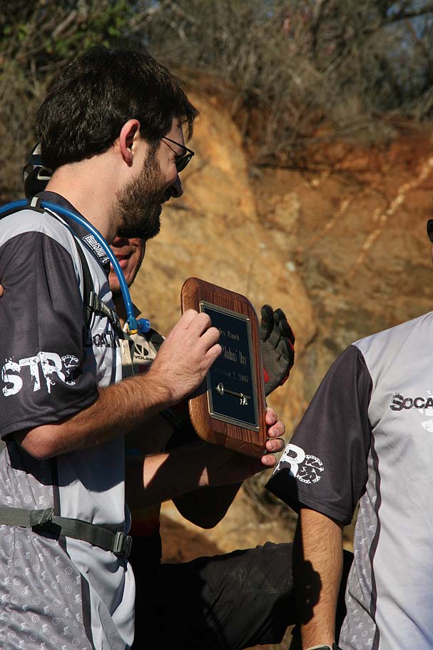
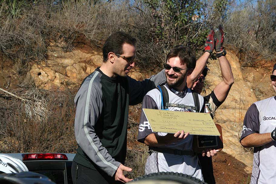
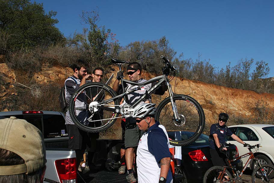
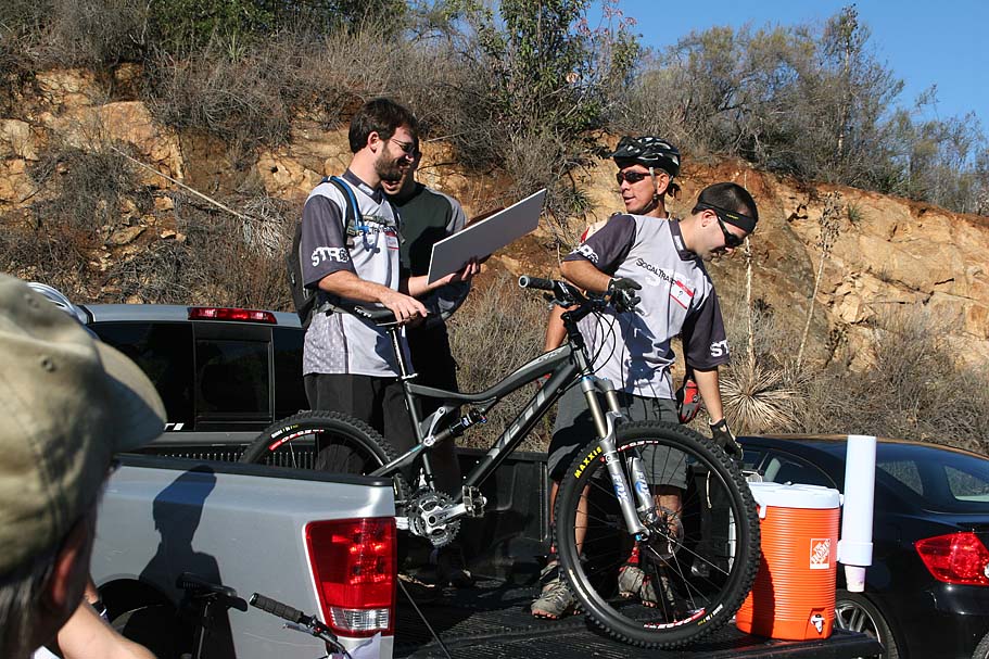
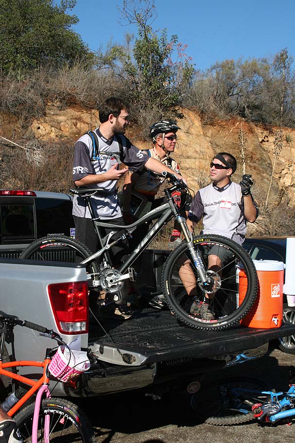
Presentation at the Start
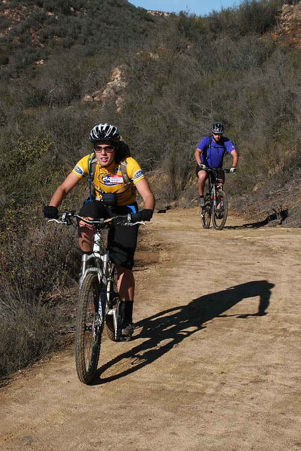
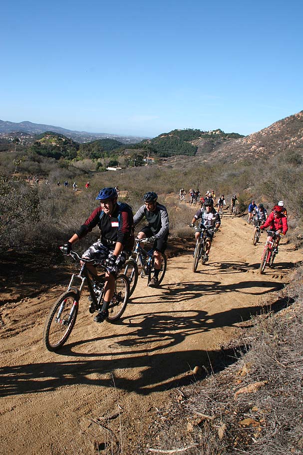
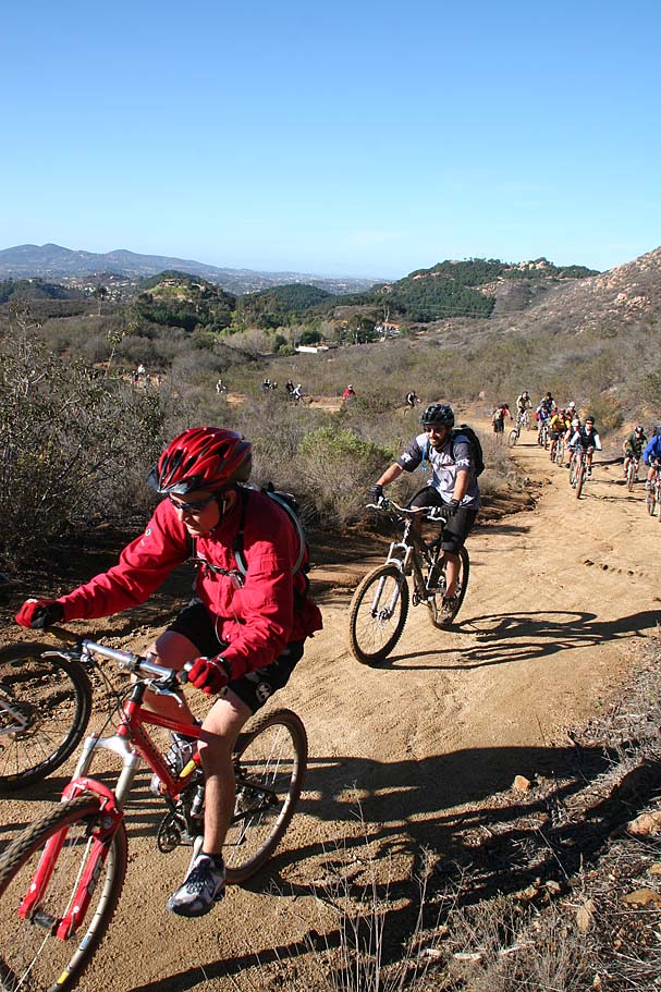
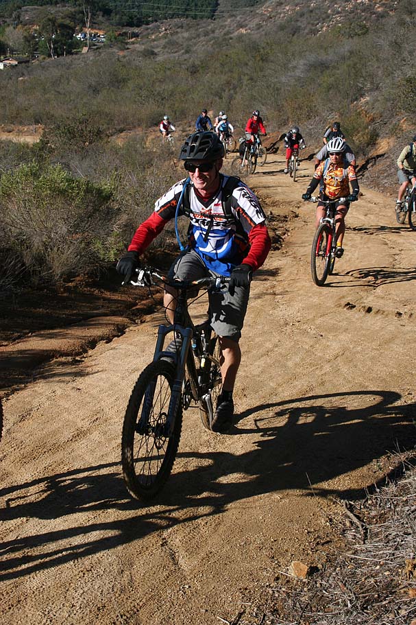
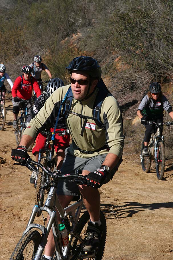
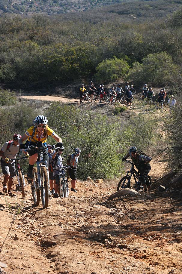
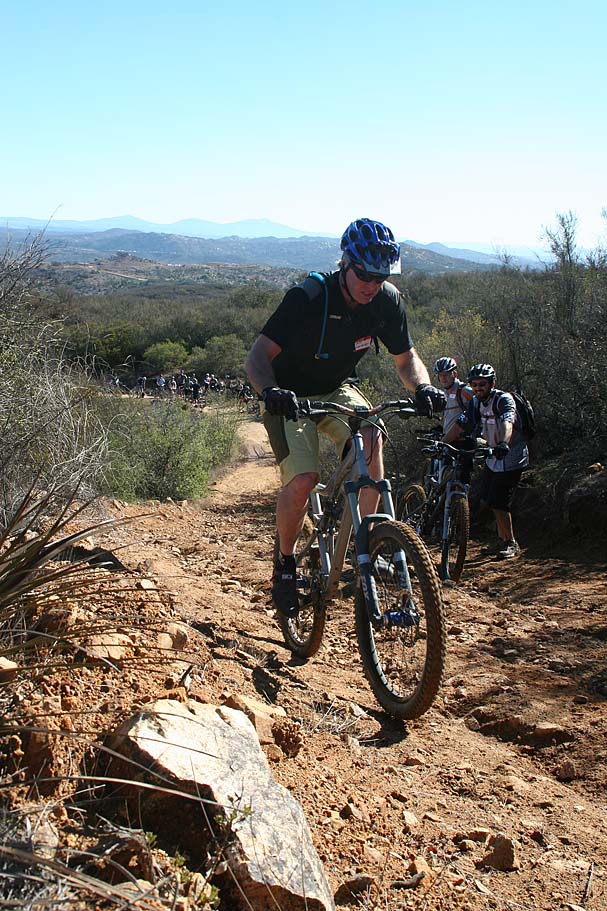
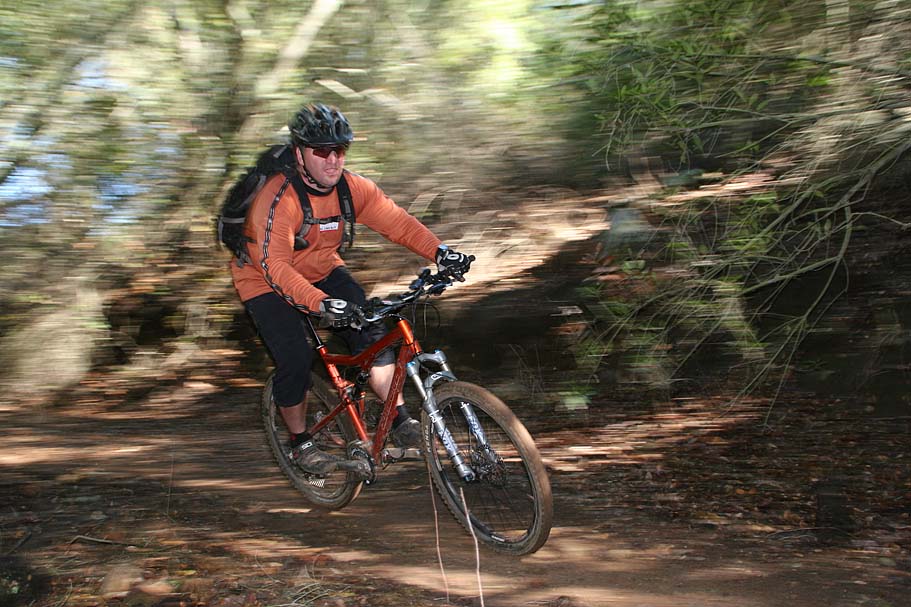
Opening Climb Parade
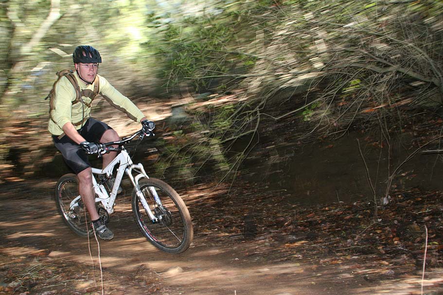
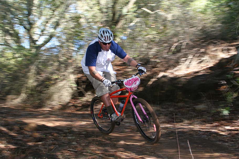
Fun at bottom of Hidden Springs (aka Cardiac) Fireroad
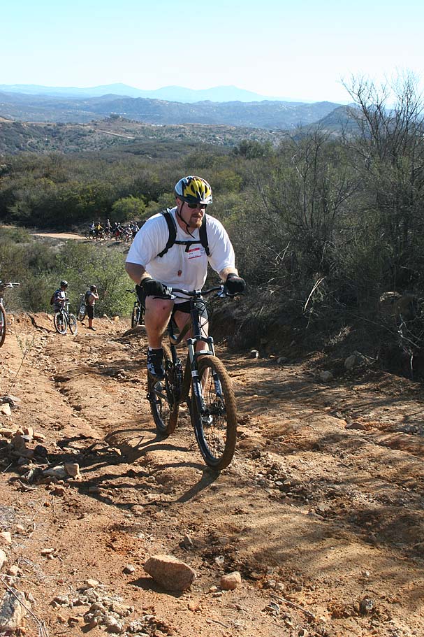
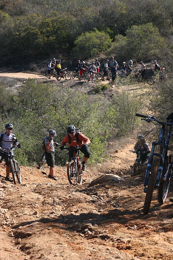
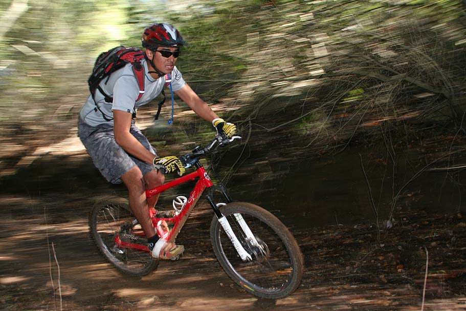
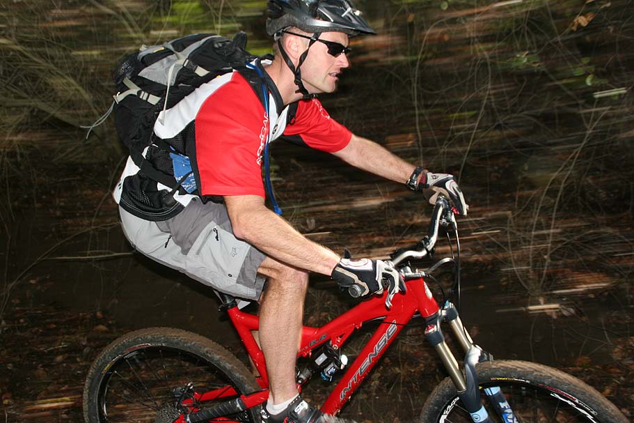
Session Fest at the top of Hidden Springs Fireroad
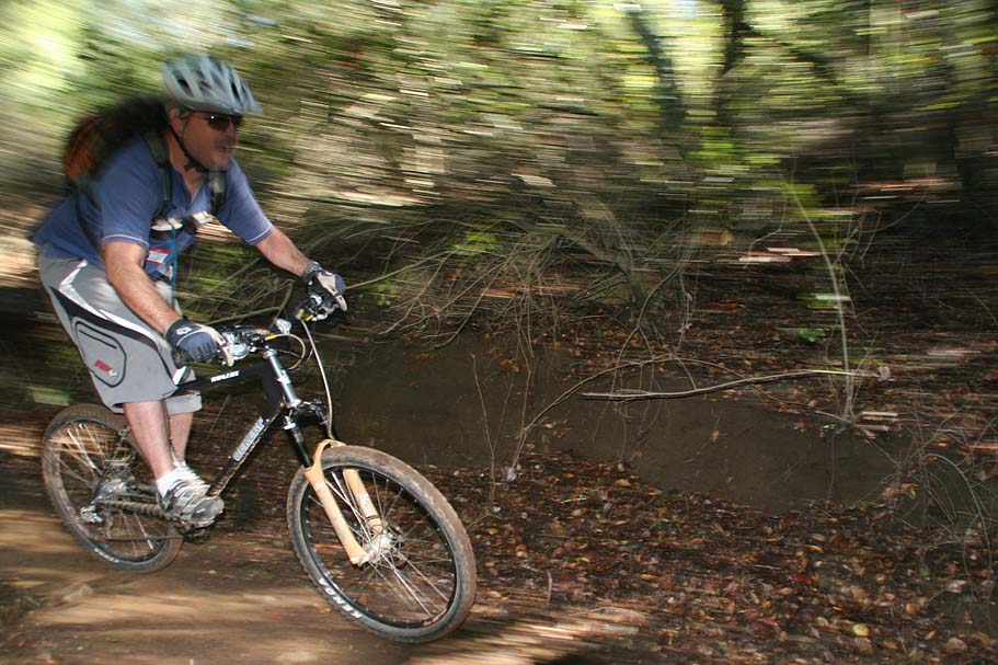
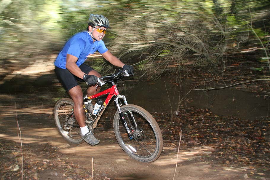
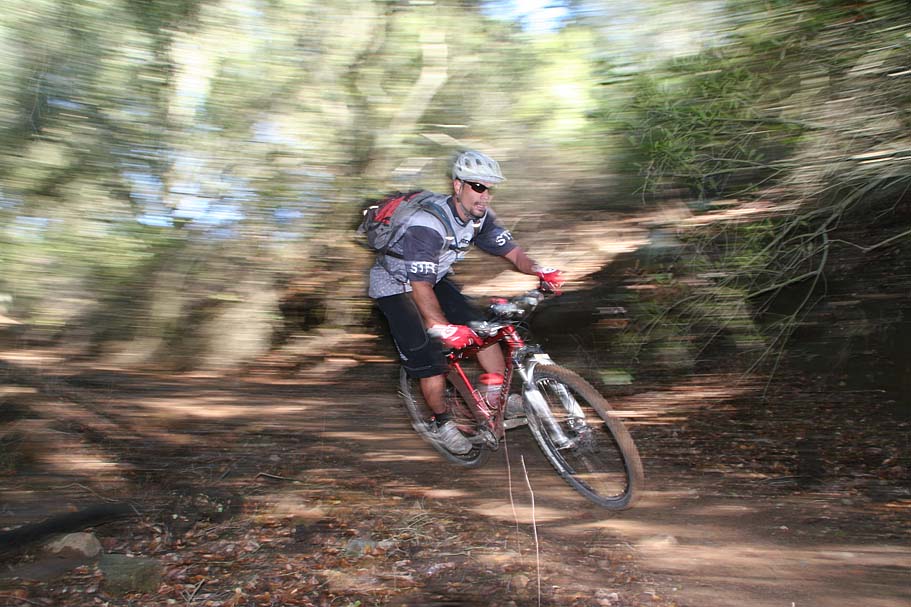
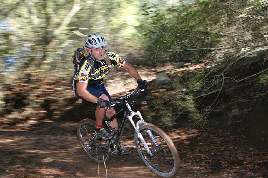
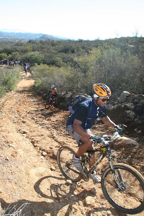
Ripping the Bobcat Trail