
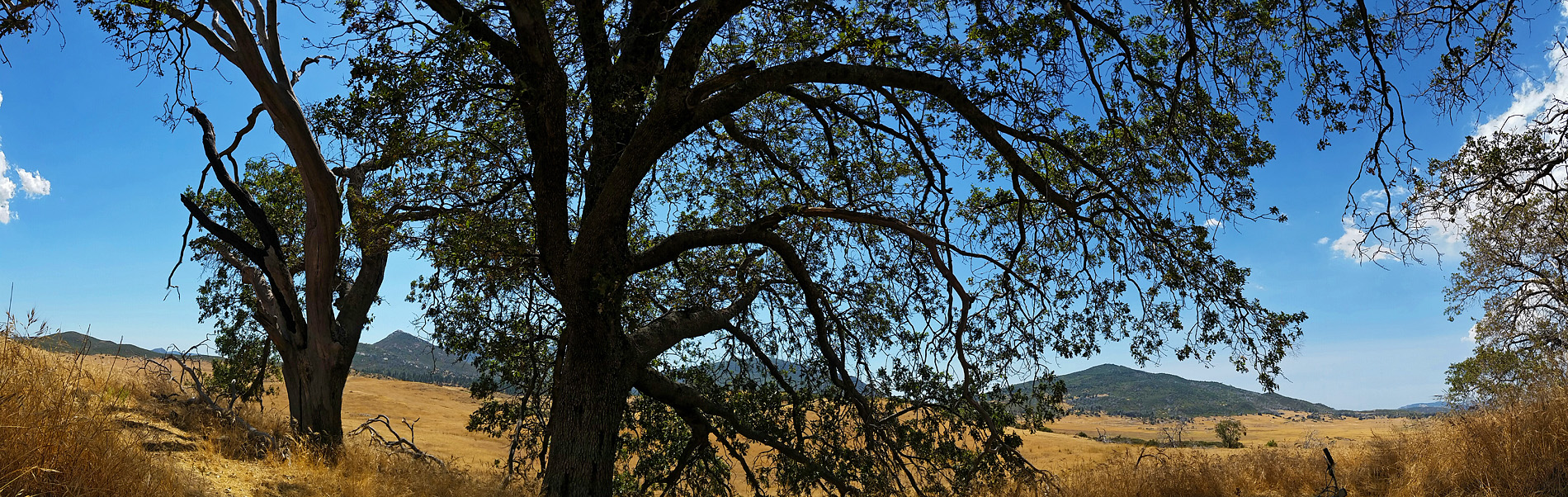
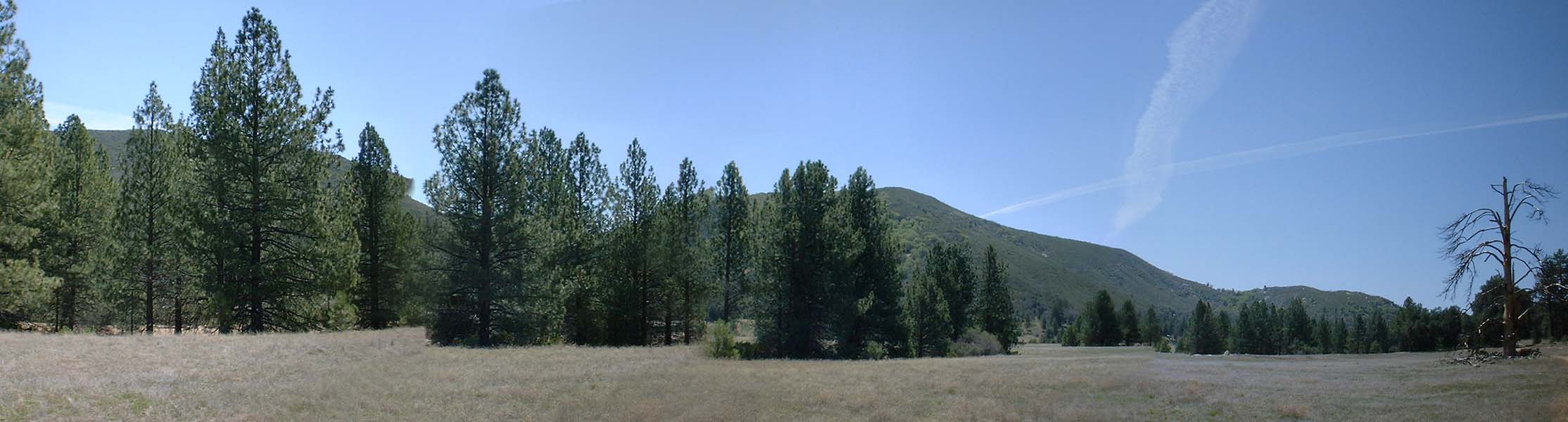
Cuyamaca Rancho State Park
Just forty miles east of San Diego, Cuyamaca Rancho State Park offers beautiful pine and oak forest, broad meadows, and little streams that are special delight in the generally dry Southern California landscape. The park is located in the Peninsular Range of mountains from Cuyamaca Peak, at 6512 feet, the second highest peak in San Diego County, you can see Anza-Borrego Desert to the East and the Pacific coastline to the west. (The above was right out of the State Park flyer)
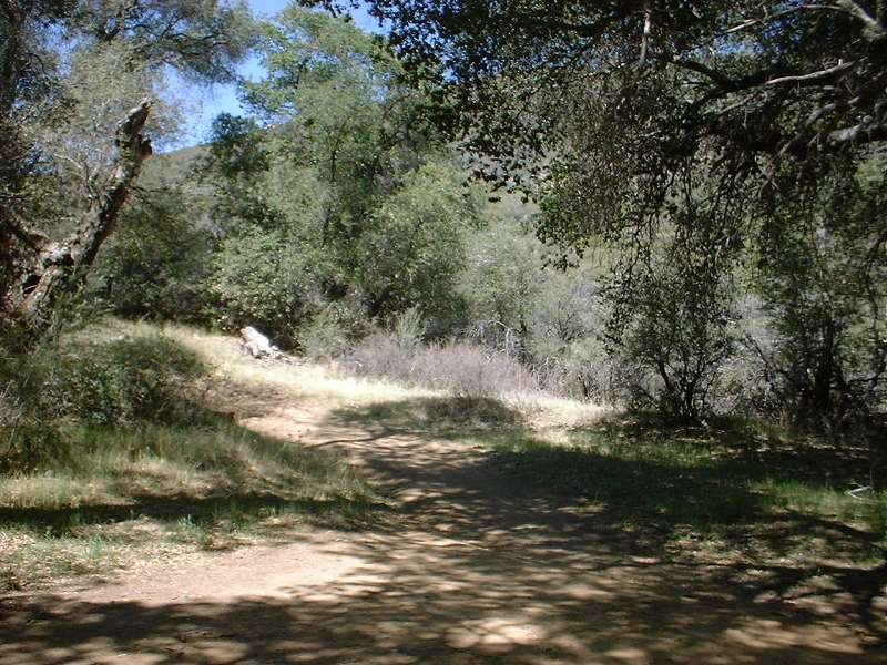
La Cima Trail (Also CRHT)
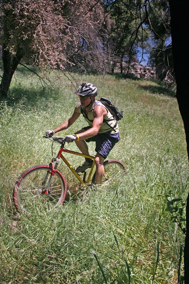
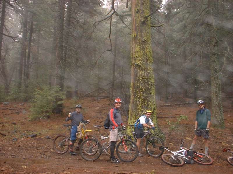
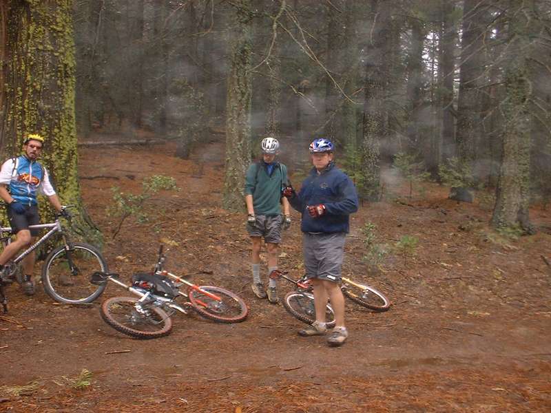
I have been riding the Cuyamaca Mountains pretty much as long as I have been mountain biking in San Diego County. This review was also one of the first pages when I created this site and using a 1.2MP camera at the time. I am leaving my earlier reports at the bottom of this page. I ride here often so make sure to use the link below to search for blog post related to this area.
What does all that mean? You can have a good time here with plenty of trails to ride. Check out the park's website for additional information and trailmaps. Also take a look at the current general plan for this park.
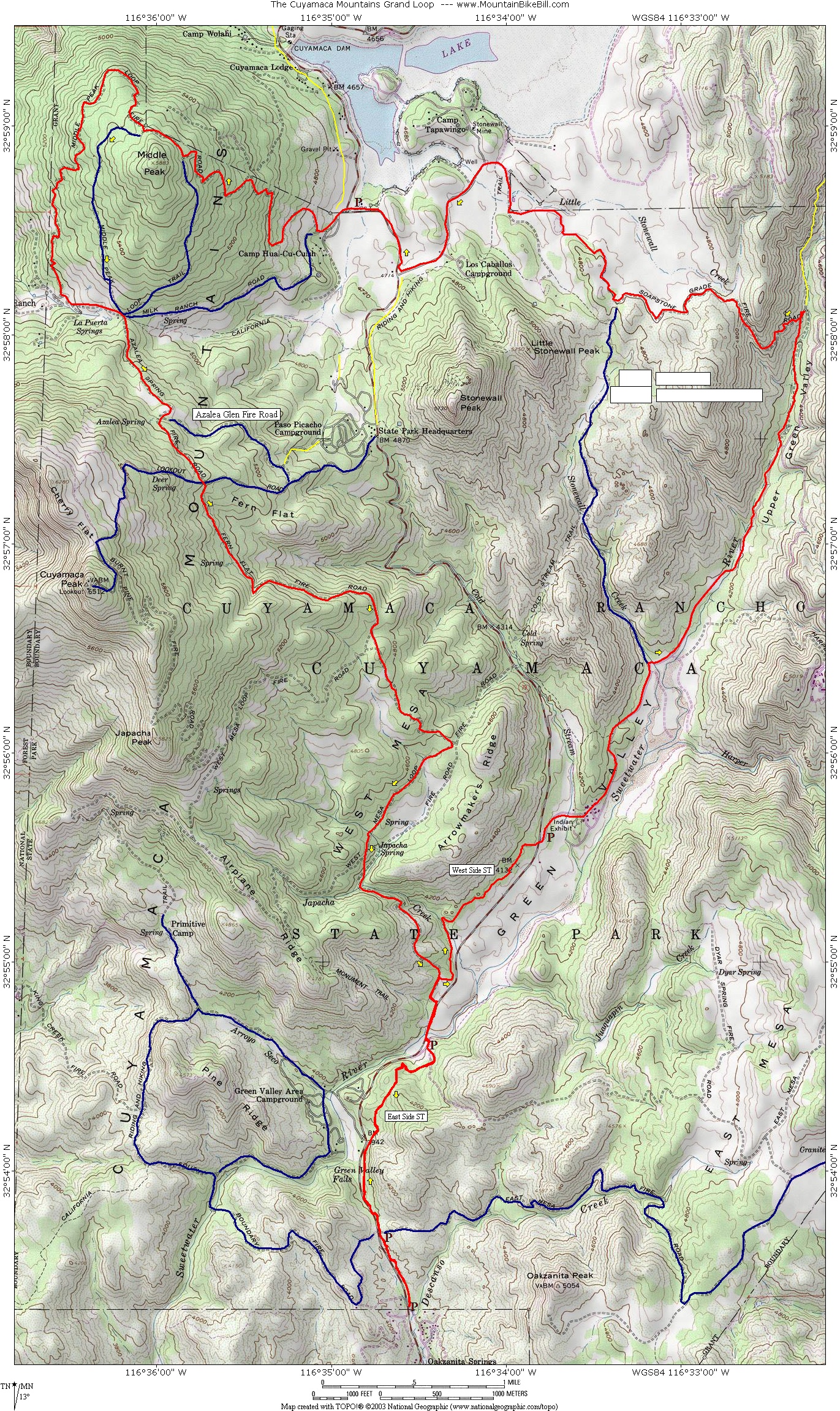
Old School Classic Grand Loop:
New School MBB Recommended Loop

- From LA - North San Diego County: From I-5 or I-15 take the 78 East
into Escondido. Follow the signs closely as the 78 makes a few turns
through town. Once through Escondido continue east on the 78 into
Ramona. In Ramona the 78 will turn left. Continue along the 78
east into Julian. In the Julian the 78 will turn right. Continue
east on the 78 for about 3/4ths of mile and then take HWY 79 south.
Take the 79 south past Sunrise Hwy, Lake Cuyamaca, the Park Headquarters on
the left, and the Horse trailer parking area on the left. The next little
parking lot on your left is the parking lot for the start of the Grand Loop
route shown on the map.

- From San Diego area:Take I-8 east past Alpine. Take HWY 79
north. The little parking lot for the Grand Loop route shown on the
map is just past mile marker 4. If get to the horse trailer lot on
your right you went to far.
- PARKING NOTICE: As of June 2021, the State Park has started charging $10 to use some of the parking lots including the one these directions are for. $10 is pretty freaking outragious considering the high taxes that we pay in this state. I could see if it if there was some type of ammenities in this lot, but there are none. Not event a porty-a-potty. If you go a couple miles south down to the East Mesa pullout there is no parking charge there.
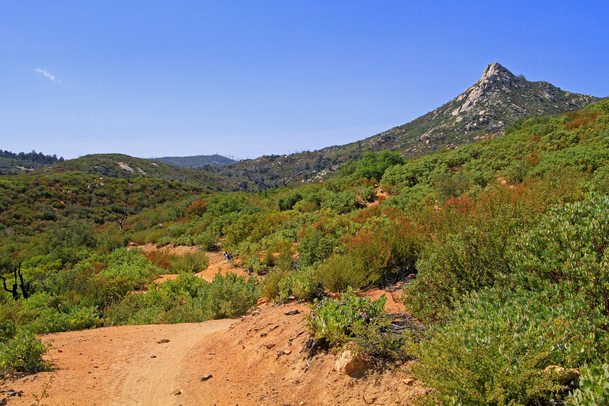
Hazards: This place could get really hot in the summertime.
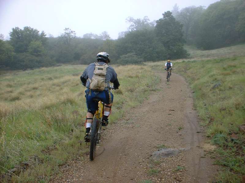
Old School "Grand Loop": There are two routes I have linked here. The first is the Classic Grand Loop. As far back as I have been able to find in mountain biking descriptions in the area this loop has been described. It is basically a large counter-clockwise loop of the the fireroads in the area totally about 24 miles and 3,200 feet of climbing. It does a good job of touring you thorugh most of the areas of the park and offers some great views. Starting from either the East Mesa staging area it you will travel northward on the East Side trail to the the Sweetwater staging area. Cross Hwy79 and connect up to the West Side trail and continue northward. You will cross of Hwy 79, take a bit of paved driveways past the visitor center and onto Green Valley Fireroad will you will enjoy some nice meadow riding on fireroads until you reach the bottom the Soapstone grade fireroad. You will most likely not enjoy the climb. Once at the to you will cruise along the now flat fire around until you reach some pavement. You would hang a right and follow it around until it reached highway 79 where you would hang a right and travel along the road for a short way until you turned left onto Milk Ranch Road (and back onto dirt). Milk Ranch road would take you to Middle Peak fireroad where you had a nice climb ahead of you. Back in the day, this was a superbly nice climb in the shade but a fire in 2003 pretty much took out all of the trees on the mountain. After skirtting around the peak, Middle Peak fireroad would descend back down to the Milk Ranch Road where you would connect to the Azalea Spring Fireroad where you got in some more grunting as you work your way about halfway up the east flank of Cuyamaca Peak. You woud connect up with the Fern Flat Fireroad which would start of series of rather steep bombing descent along the the Fern Flat, West Mesa and Japacha Fire Roads. This would close out the loop portion of this route you would then retrace your way back to your trailhead with west and east side trails. This is a good route and well worth doing at least once as it is the classic and the views from up on top are fantastic. However there are some more singletrack options available to mountain bikers these days.
While I think the Old School Grand Loop is a must do at least once, I don't think it is the best loop in the park. This route optimizes your time on singletrack to include some trails that did not exist when the Grand Loop was in its hayday. If you do this full route it is 31 miles and 2,900 feet of climbing, but at the 12 mile mark you have the option to cut the ride down by 8.6 miles and get rid of 1,000 feet of climbing. You can further trim off 4 miles by starting from Sweetwater staging area vice East Mesa Fireroad trailhead. This is assumes you started from the East Mesa Fireroad Trailhead.
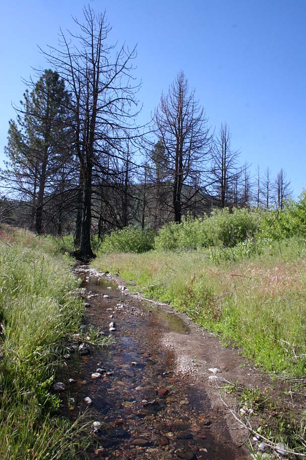
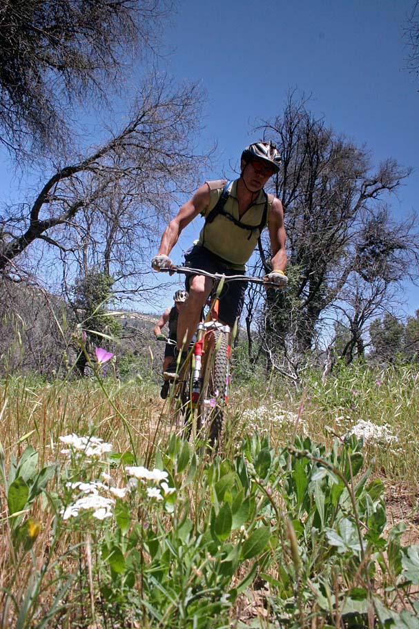
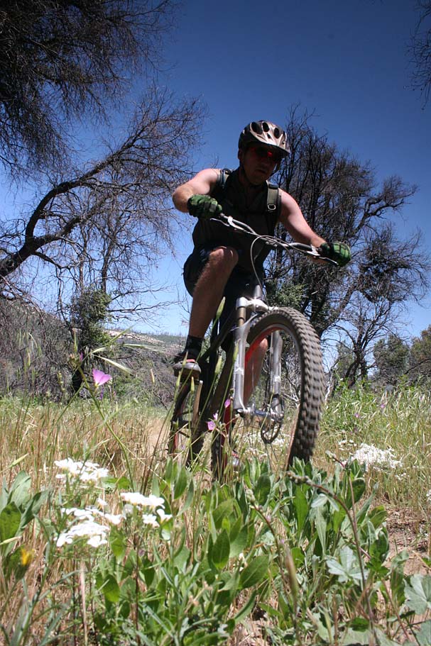
From the East Mesa Trailhead head you will take the singletrack north two miles to the to Sweetwater staging area. You will have a little bit of a hill to get up and over. You might also notice in the warmup that you are starting out at around 4,000 feet of elevation. When you get to the Sweetwater staging area you are going to be crossing over HWY79(two-laner) and picking up the West side trail on the other side. There is a trail that drops down into Sweetwater River bed and goes under the road but most folks just ride across the bridge and on the road and pick up a connector just past the guard rail. You will continue north and the West Side trail will turn into a fireroad (Japacha Fireroad) which you will take for a couple hundred yards before peeling off to the right to get back on the West Side Trail again. This is a really nice bit of singletrack with with oak trees, meadows, a seasonal stream crossing, a few switchback and some nice undulations. You will come to a split in the trail at around 1.6 miles since you got on this trail where you will take the right split. This will bring you out to Hwy 79. After crossing the road, you will take a the paved visitor center road down east-northeast. East of the visitor center you will pick up the Upper Green Valley Fireroad where you will head north. Upper Green Valley starts out as a well maintained fireroad. You will pass by the Hill Trail (single track) as well as the Stonewall Creek Fireroad on your left as stick to the fireroad on the valley floor. Green Valley can be very pretty and the be on the lookout for deer and turkeys which are quite common in this area. At around 2.3 miles on this fireroad it takes a sharp bend to right. You will take the less maintained split right in the middle of the bend and continue north. It is hard to call a fireroad at this point, it more of a rocky double track. After about 3/4ths of a mile you will come to the junction of Soapstone Grade and the Upper Green Valley Singletrack.

Near the Vistor Center
Along Green Valley

Climbing Upper Green Valley ST
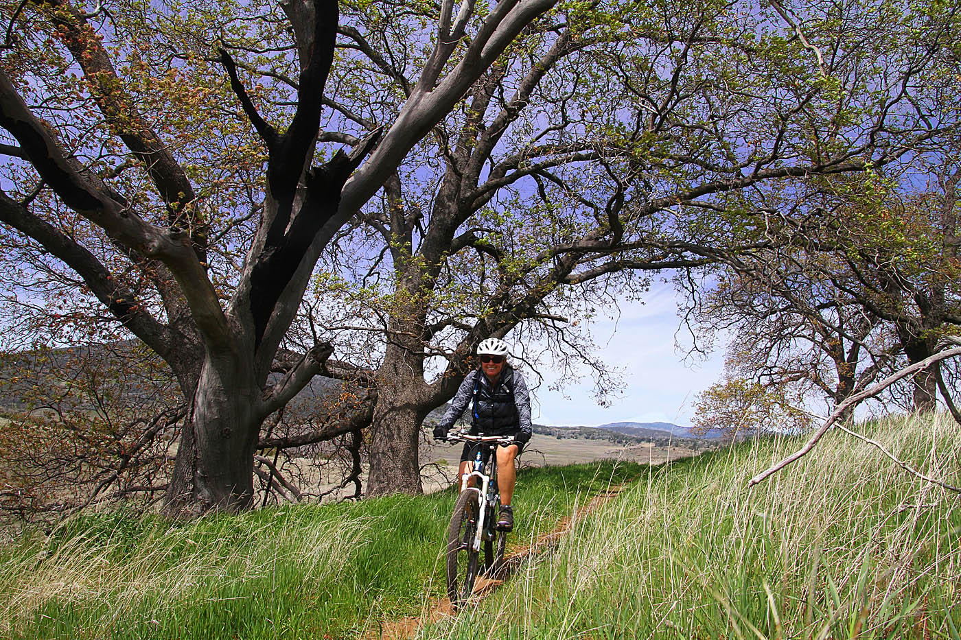
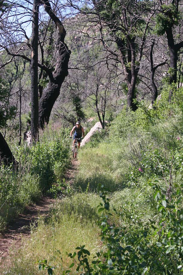
Climbing up the Upper Green Valley Singletrack will be the most work you have done on this ride up to this point. While the grade is not terrible the rockier terrian will add some additional energy tax to your effort. At least once or twice on the climb it is worth looking over your shoulder back at where have come from. The view can be really nice. At the top of the climb you will come to the end of this trail and the junction with the La Cima Trail. This trail runs mostly northwest southeast here and you are going to take a left at this junction. Take note of the lone pine tree near here by an access rode. This is nice shady spot to grab a snack or breather after that climb. From here the La Cima trail is a fabulous bit of singletrack. You are often within site of the Sunrise Highway but also have some great view into Anza Borrego Desert, and distance mountains such as San Jacinto, Santa Rosa and Toro Peak. After about a mile of mostly down singletrack fun you come to another trail junction where you will turn south to stay on the La Cima Trail. This is also California Riding and Hiking Trail as well. This is a fabulous section of singletrack that offer great views of the area as it works along the edge of a large grassy valley. After two miles you will come out onto Soapstone Grade where you will turn right and head west on this doubletrack. After just under 1 mile (12.25 clumlative) you will come to the junction of the Stonewall Creek fireroad on your left. You will be coming back to this point later in the ride, but this is a great spot to take stock of how much gas you have left in the tank. Making this the apex of your route is still going to be a great ride. If you are feel like seeing more you will be doing an additional lollipop style loop from and to here. Assuming you are up for the full 31 miles of the route continue on Soapstone Grade for about another mile where you will come to a bit of pavement. Right at the junction of the pavement is the Marty Minshall singletrack. This is a two mile long non-technical trail that transverses across the grassland and over to Lake Cuyamaca and eventually over to Highway 79. Along this trail you will probably see more hikers than at any other point along this route. When you come out to Highway 79, cross the road and get onto Milk Ranch Road n about 1/4th mile turn to the right onto Middle Peak Fireroad.
The climb up Middle Peak Fireroad is about 2.25 miles long and you will climb just under 900 feet. This used to be a really cool climb under impressive oaks and pines. The 2003 wildfire that came through here completely burned them all which has caused this climb to loose some of it cool factor. You are going to be taking the Black Oak Trail down from Middle Peak. The Black Oak trail is kinda a loop trail with two seperate halves starting near the top of Middle Peak a common point at the bottom with Milk Ranch Road. Continue on past the first Black Oak Trail junction you pass on your climb up and take the second one on your left after you pass the peak and level out from the climbing. The western half of the Black Oak Trail is pretty fun with some chunky bits. Since 2003, deadfall has been a reoccuring problem but there are less and less of those burned trees standing so every year this becomes less of an issue. Black Oak comes out on Milk Ranch Raod turn left and make your way back to Hwy 79. Cross the road and retrace your route on Marty Minshall and Soapstone Grade back to the junction with the Stonewall Creek Fireroad and turn south.
The lower portion of the Cold Spring Trail(August 2016)

La Cima Trail (Also CRHT) August 2016
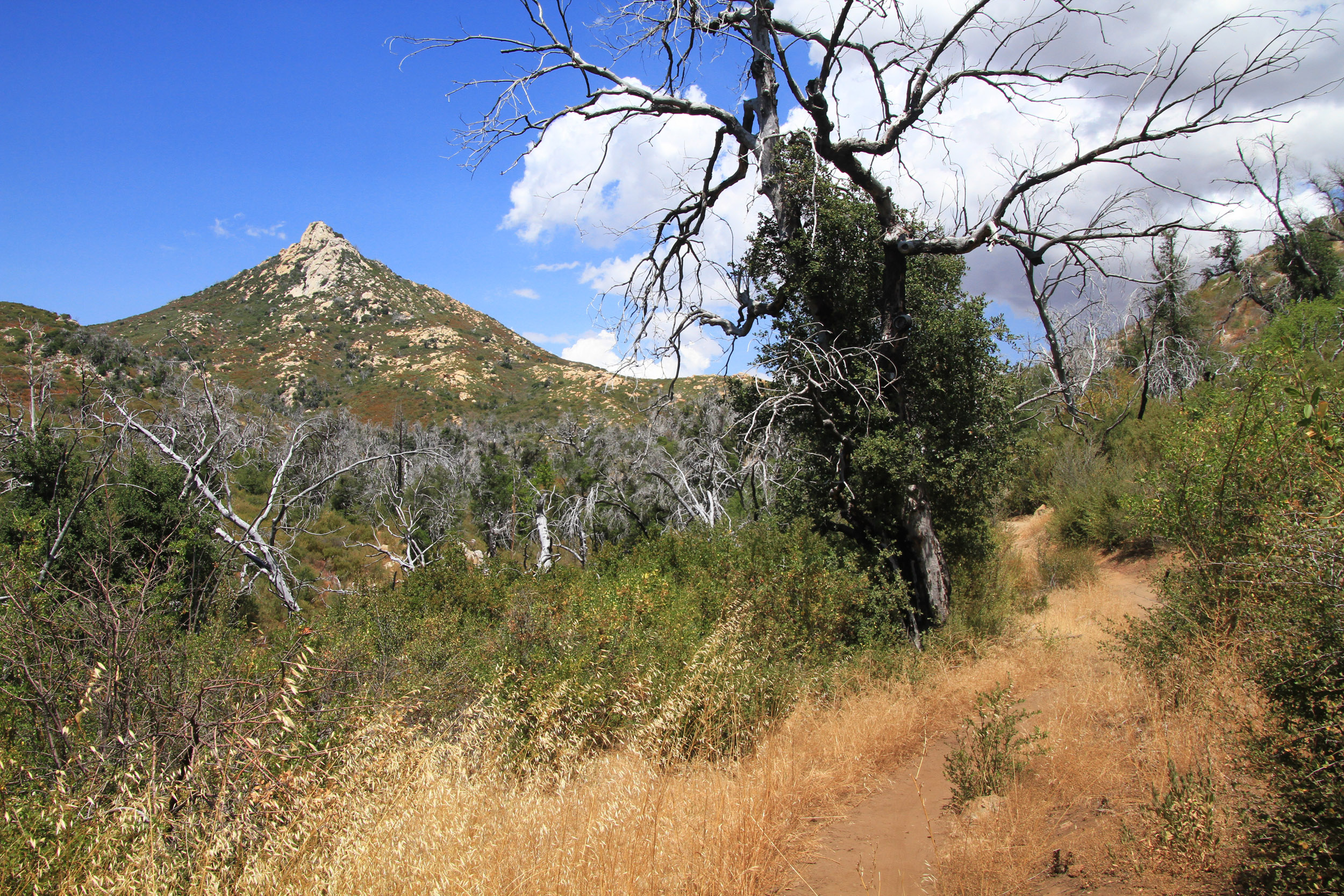
Cold Spring Trail abd Stonewall Peak (August 2016)
You will have zippy descent on this fireroad for about a mile where you will pickup Cold Spring trail on your left. The Cold Spring trail is a mighty nice trail with great views. It is a little over two miles long and you will climb a couple hundred feet and descend five hundred with the grade never being harsh. This is one of the newest trails in the park and the MTB community played a big part in making it happen. At the bottom of the Cold Spring Trail you will come to the junction of the Cold Stream trail as well as an access trail up to Hwy 79 and the West Mesa trailhead/staging area. You know your are getting close when you pass by a waterbasin alongside the trail. You should have about 27.8 or 19.2 miles on your trip depending on wither you did the full loop or the truncated loop. You can stay on east side of the Hwy 79 and take the Cold Stream trail south to the visitor center (a nice way) but for this route cross Highway 79 and just beyond the gate is the West Mesa trail. It is closed to bikes going north but open to the bike heading south. Hang a left and go south.
The West Side trail is pretty nice bit of singletrack that has a few rocky technical bits over the first mile. After that it passes by the junction that you took earlier in the day. This time continue on the West Side Trail and now retrac your route all the way to the Sweetwater staging area and onward south to the East Mesa staging area. You will definitely have earned some post ride refreshments at this point and will have experienced a most of the best bits of the MTB legal stuff in the park.
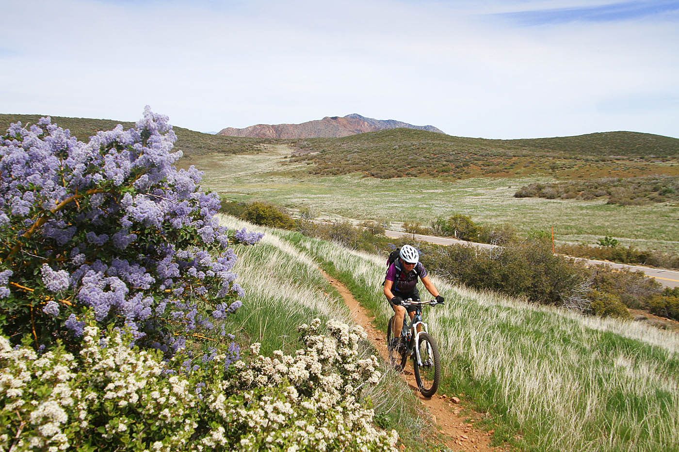
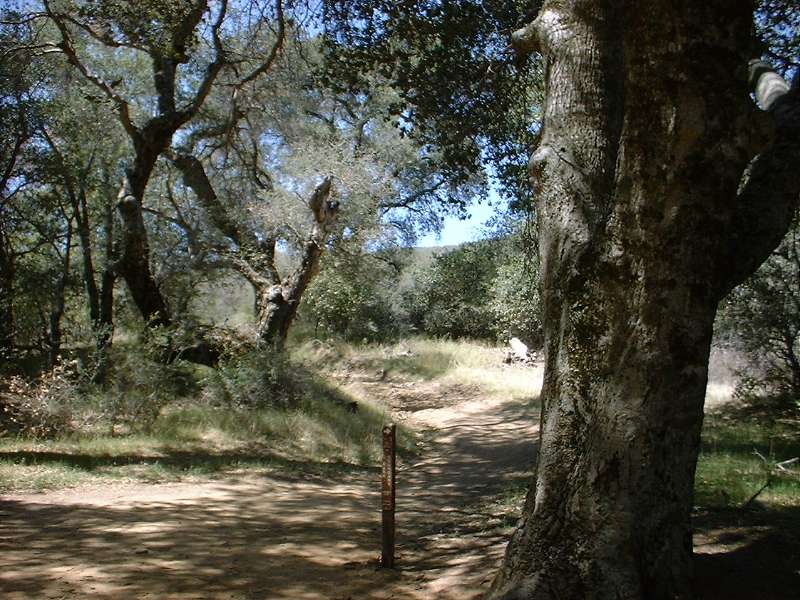
The La Cima (CRHT) Trail
La Cima (CRHT) Trail
Going up Middle Peak (May 2006)
May 29th, 2006
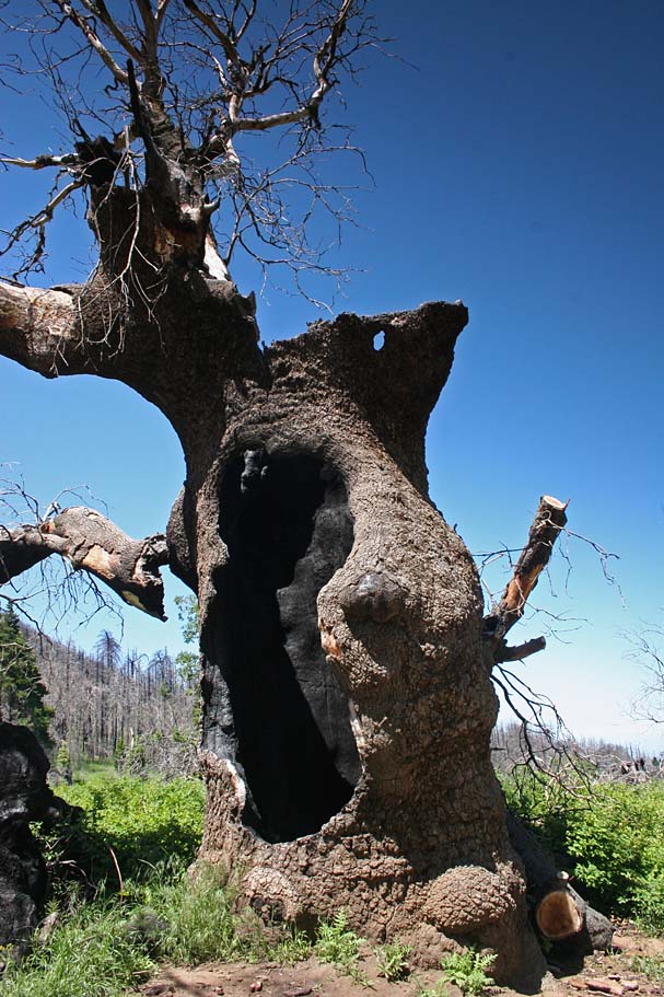
It had been too long since my last visit to the Cuyamaca Rancho State Park. These mountains took probably the worst of the 2003 wildfires that really settled into this area and pretty much sanitized the soil by burning for so hot and so long. The area is recovering nicely but I was still quite surprised with drastic changes in the look of this place. Our plan was to do the Grand Loop but we made a slight modification or two to the normal route. The first thing you notice on the East and West Side singletrack is that you can see farther. The trails were pretty much the same as I remembered and Green Valley did not look too terribly different.
We opted to go up the Stonewall Creek Fireroad instead of Soapstone Grade simply because we had not gone that way before. Stonewall Creek is shorter than Soapstone and nets you pretty much the same amount of climbing but Stonewall spreads out the climbing where as Soapstone knocks out most of the elevation gain in a steep climb at the end. Stonewall Creek Fireroad did not seem to see too much use and it was looser than I remembered Soapstone being. I say fireroad loosely because in many areas it is rapidly becoming reclaimed singletrack.
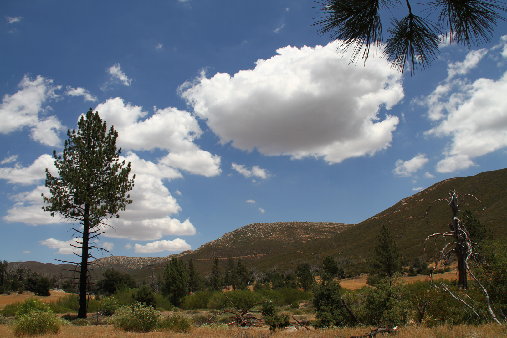
A meadow along Stonewall Creek Fireroad. The "fireroad" is on the left.

At the top of Stonewall Creek we rejoined the traditional Grand Loop route and continued along our way making our way to Highway 79 where we connected up with Milk Ranch Road and the Middle Peak Fireroad. While cruising through the meadow just before highway 79 we spooked a wild turkey. It was not in a huge hurry to out of the area it was still quick enough that I did not have time to get on my telephoto lens.
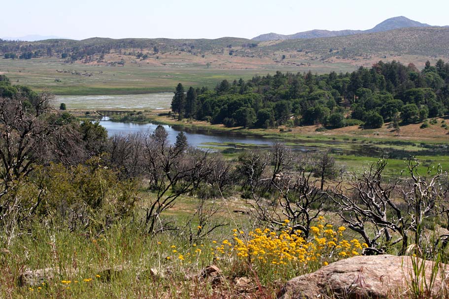
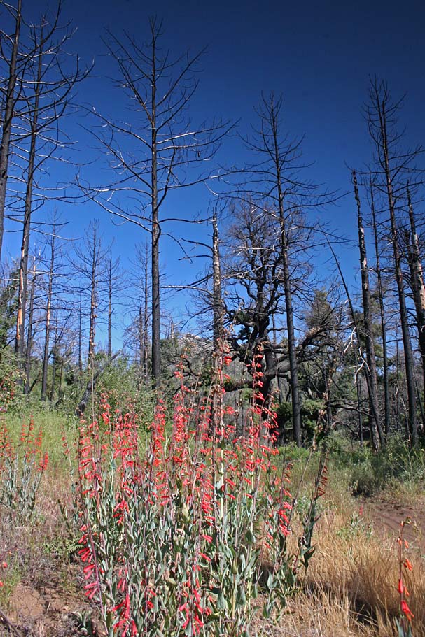
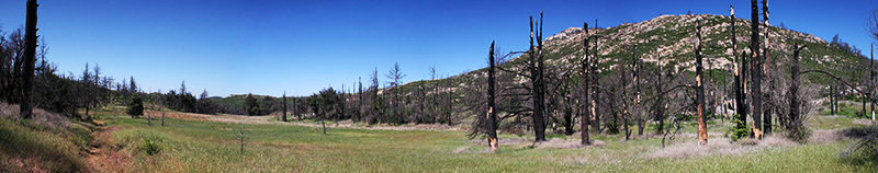
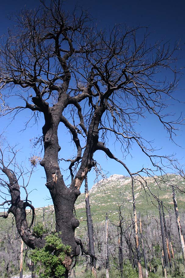
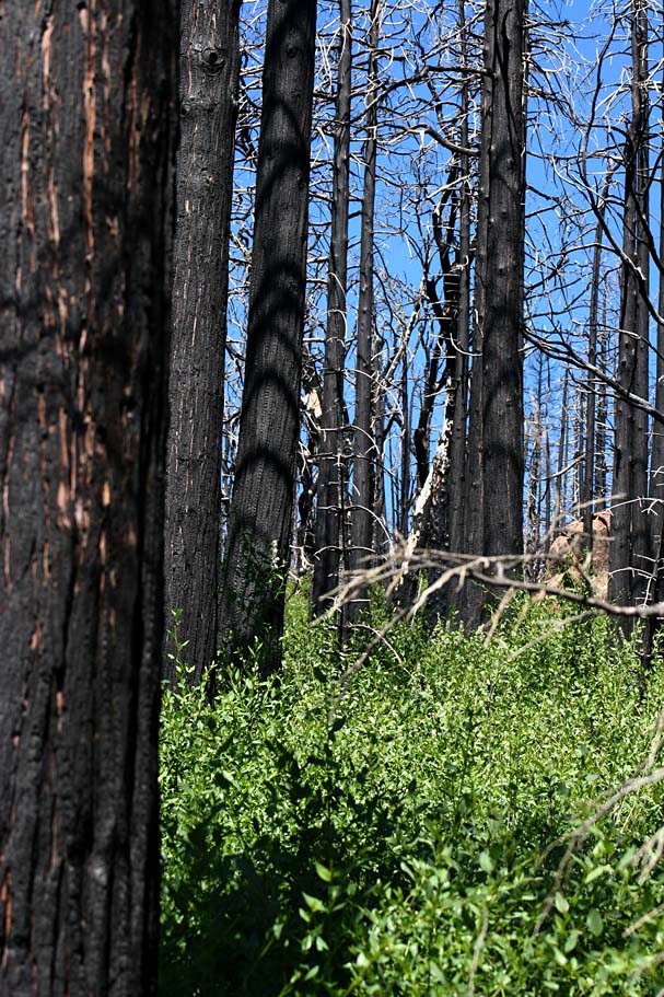
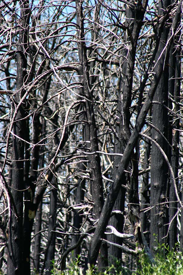
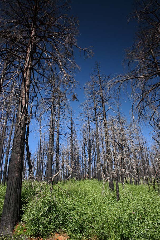
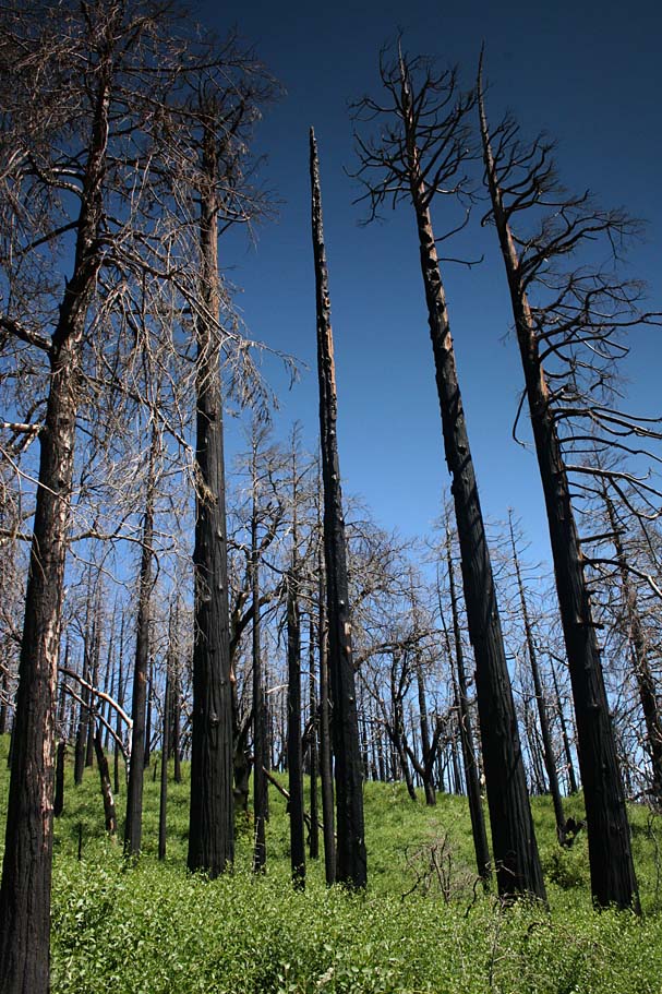
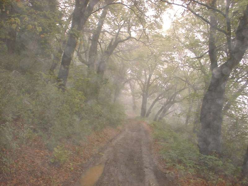
The climb up Middle Peak was the biggest change I had seen so far. I had remembered this climb being on a fairly smooth fireroad where you were almost exclusively under a canopy of huge pines and oaks. All that is left of the old gaints are black spires that stand in stark contrast to the new and vibrantly green growth at their base. It was downright somber riding in some parts, particularly when passing by some of the more larger trunks. The fire road on the other hand is more trail than road now with some technical bits in it as undoubtedly the heavy rains of the winter of 2004/5 carved ruts and brought out some rocks. This trail itself has much more character now. There is also much more to see now that that the trees are gone and seeing Lake Cuyamaca on the climb up was a first for me.

The climb up Middle Peak Fire Road
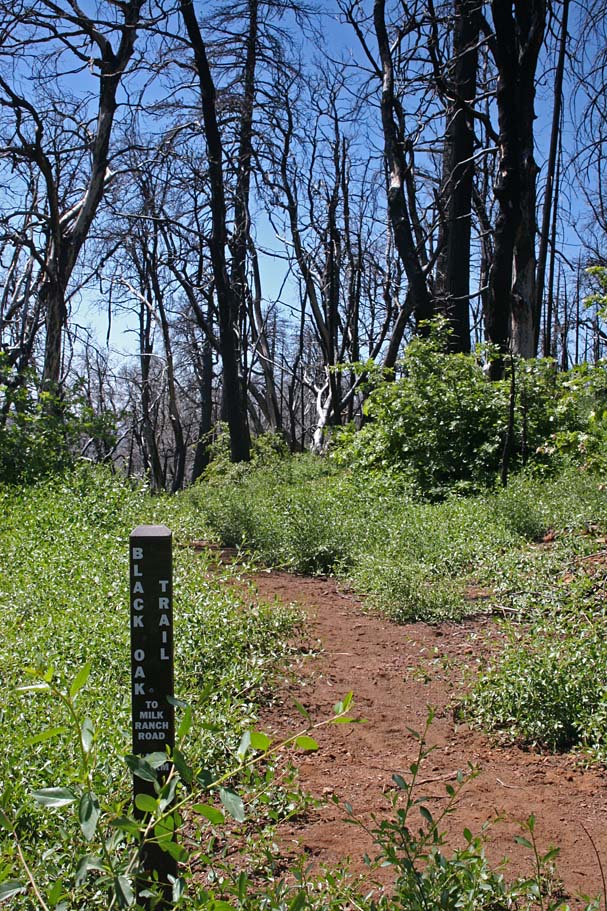

The Black Oak trail loop on Middle Peak was formally off-limits to mountain bikes, but the summer before the fires, local advocates were able to get this trail opened to mountain bikers. The Black Oak trail meets up with Middle Peak fire road twice on it's loop. Take the second Black Oak turnoff for the longest distance on this particularly nice singletrack. I think it is ironic that name of the trail.
Once at the bottom of the Black Oak trail we followed the traditional Grand Loop route the rest of the way back to our vehicles. It was a fine day to be on a bike and overall the trails are in as good of shape as I have ever seen. While the scenery of the area has certainly changed it is still a place worth going to and getting in some good miles.

April 27th, 2002 Ride Report:
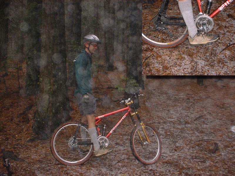
After posting the ride report above on the alt.mountain-bike newsgroup. I got a couple of emails from some locals asking me to join them from a ride. So it worked out that the group planned on 8AM ride of what is known as the Grand Loop. Well late Friday night, my normal riding chums who had been able to come up with a ride decided that they wanted to come along as well. They live up in Orange County and they ran a little late on Saturday morning. The weather looked okay in when we left Oceanside but became more menacing the further east towards Cuyamaca we went. Sure enough it started raining. We we finally got to the parking spot it was 8:30. There was some cars there so I other guys had already hit the trail. It was not raining now, but boy was it chilly and damp. My Orange County hommeez had traveled 2 1/2 hours to ride this so of course we were going to ride or at least see how the trails fair with the rain.


We parked were the East and West Mesa fire roads cross Hwy 79. From there we followed the same route, I had followed the week before (East Side to West Side to Green Valley fire road to Soapstone Grade) The trails drain pretty well with only a mushy spot here and there. It intermittently misted on us but nothing too drastic. I had a long sleeve jersey and leg warmers on so some of my lighter clad friends would argue with me. After the climb up Soapstone we followed to a paved one lane road. We we right and followed it for about a half a mile were we went around a gate and stayed on the main road which took us back to the 79. We were able to get up a good head of steam on both the access road and the 79 but found that the self induced wind chill took most of the fun out of going fast. So cruising speeds was in order.
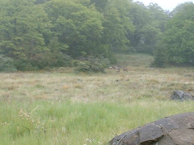
After a couple of curves of hwy 79 we pulled off to the left onto Milk Ranch fire road. We followed Milk Ranch for a few hundred yards and then hung a right onto Middle Peak fire road. The climb was up Middle Peak was very scenic even with the bad weather out. We even passed a herd of mule deer early in the climb. The wet weather was starting to wear on all of us, because we were not particularlyprepared for the weather that greeted us here. When we reach the top of Middle Peak we noticed ice on the ground! The rain had frozen in the trees the night before and was now falling off the trees onto the pine needles below.
So after a few minutes of regrouping at the top of Middle Peak we continued along Middle Peak fire road as it started descending down the west side of the mountain. At the bottom we hung a left back onto Milk Ranch fire road and followed it for a few hundred yards and then took a right on Azalea Springs fire road. Some where along Azalea Springs fire road we missed a turn or took a turn we should not have and ended up on Azalea Glen fire road. We ended up on the paved Lookout fire road that goes between Hwy 79 and Cuyamaca peak. We were expecting Fern Flat fire road to be right in front of us. Go up or down to find it? Well our legs collectively made the decision to go down. Well we were wrong and ended up at Hwy 79.

We decided to rolled down Hwy 79 and connect back up with the West Side singletrack that we had been on before. What a blast that was for a being a payment ride. Scary fast almost. My computer registered 40 mph as my highest speed and there were a couple of curves that I nearly blew. We connected back up at with the single track and retrace our route from there back to the truck were we loaded up our very dirty and happy looking bikes. 24.5 miles for the adventure that day. We stopped at the restaurant on Cuyamaca Lake and warmed up as well as filled up. What a day!
April 21st, 2002 Ride Report:
We started our ride about a mile south of the horse trail parking lot on
Hwy 79. We started off heading north on a single track off the east of the 79
heading north (name East Side trail, hmm… imagine that). The trail was for the
most part rolling hills among the shade of oak trees. The rolling
single track brought us up to a horse trailer staging area. From here we cut
through the parking lot and traveled up Hwy 79 for about 200 yards and then hung
a left onto Japacha Fire Road. About 30 yards into that we hung a right
onto another single track that parallels Hwy 79 on the west side. Can you
guess the name of the trail? That's right… the West Side Trail.
This trail had more rolling hills and twists and turns and even a couple of easy
to handle switchbacks.
About a mile and a half up this trail we scooted across the 79 onto a paved road the headed down to the park headquarters and some kind of school camp. We picked up the Upper Green Valley fire road just past the school. Now we are rolling along the edge a really pretty meadow. Still somewhat brown but it looks like the place will be in bloom in a couple of weeks. After about a mile we pasted the junction of the Stonewall Creek fire road off to our left. We continued along Green Valley fire road where it started getting a little steeper and rockier.
 Eventually
we ended up at the junction of Green Valley and Soapstone Grade fire roads. If it is hot out
enjoy the shade here because you will not have any for the duration of your
climb up Soapstone.
Eventually
we ended up at the junction of Green Valley and Soapstone Grade fire roads. If it is hot out
enjoy the shade here because you will not have any for the duration of your
climb up Soapstone.
From here we started up the fairly steep grade. I worked the bike up the hill in the middle ring – big cog. This is also about the time I started cussing at the helmet camera gear that is feeling a little on the heavy side in the bottom of my pack. About 2/3rds of the way up the middle ring is gone, it is granny ring and second cog down time. I am starting to hate my helmet camera now. About 3/4ths of the way up and I am thinking I should have bought one of those expensive yet tiny little mini-DV rigs like Pete Fagerlin has instead of the cheap feels-like-a-freaking-brick-in-my-pack 8mm camcorder that I have. Just shy of the top I am staring to think that my camcorder has some sort of altimeter setup that makes it heavy the higher I climb. Finally at the peak…Ahhhh.
 Green Valley Meadow
 Now it is camera time so I powered up the camera and mic and started the camcorder recording. We rolled down into a meadow and enjoyed some the speed the gradual downhill provided. We passed the upper junction of the Stonewall Creek fire road and hung a right and continued rolling downhill. We eventually ended up a one lane paved road that goes from highway 79 up to Stonewall Mine. We turned around here and went back the way we came we could have we down Stonewall Creek fire road, but decided go back down Soapstone. My legs are feeling real good now. (I swear the camera weighs less when it is on.) Soapstone was mucho fun coming down with enough ruts, dips, and loose rocks to keep you on your toes. (I would categorize myself as a intermediate XC type so this may seem tame to some of you).
After this it was a blaze fest down Green Valley fire road. The park has 15mph mountain bike speed limit so at NO point on this fire road did I ever get above that speed in my big ring and little cog ;-). We retraced our path for the rest of the trip. The up and down rolling west and east side trails were more down that up heading south so the fun factor was higher. I even saw the white tails a few deer that I spooked on the way back to the truck. The total trip was right at 20 miles