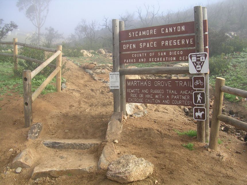
Sycamore Canyon
Sycamore Canyon is just a bunch of fun. It is by no means a difficult ride. The north end of the canyon has the highest elevation so any trail heading south is mostly a gradual downhill. The northeast corner of the canyon is known as Martha's Grove and it has a really nice rolling single track running right through the middle of it. The valley runs north and south and so do most of the trails. Sooner or later all the trails run together so it is hard to get lost in the canyon. There is a more advanced trail known as the Crestline or East Ridge trail depending on who you are talking to. There is also an area just north of the canyon known as "Tip-Top" which adds some bonus mileage and elevation.
This page need to be updated - Particularly if you are going to access this area from the south. MCAS now patrols the the area on the Stowe trail that crosses onto the base. Please refer to the San Diego Mountain Biking Association's website until I update this page.
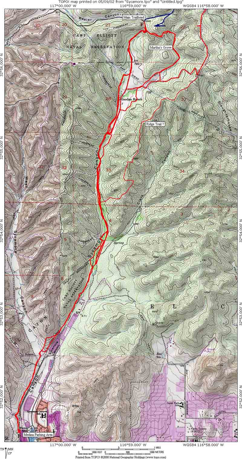
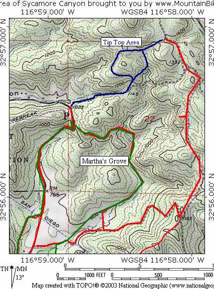
 Topographical
Map of the Canyon
Topographical
Map of the Canyon
Download the TOPO! File
Directions: There are three main parking options. The man trailhead is located at the north end of the canyon and medina is located at the south end. I have not used the HWY 67 option yet.
| MAIN TRAILHEAD - From I-15 exit at Poway Rd. Take Poway Rd. to Garden Rd. Take Garden Rd. East to Sycamore Canyon Rd. Take Sycamore Canyon Rd. south to the parking lot at the end of the road. | |
| MEDINA - NOTE: This trailhead location has changed since a fence went up in August of 2005 after some of the residents complained about trail user noise at the trailhead. From 805S or I15S take 52 East. Exit Mast BLVD. Turn left on Mast. After about 2 miles you will pass a school on your right, just after the school and within sight of the Medina traffic light, turn right into a dirt parking lot. The trailhead is across Mast Blvd from the parking lot. There is a trail that makes its way over towards the orginall trailhead heading west.. | |
| HWY 67 - There is also parking off of HWY 67 but I have not used it yet. Check with the San Diego Mountain Biking Website for their directions. |
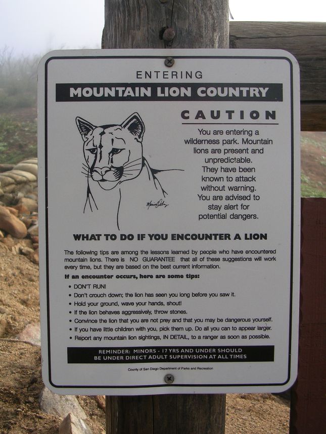
Hazards: This place could get really hot in the summertime.
Ride Report from FEB 6th 2002: This was an afternoon hooky ride from the office. We blazed out of the office at 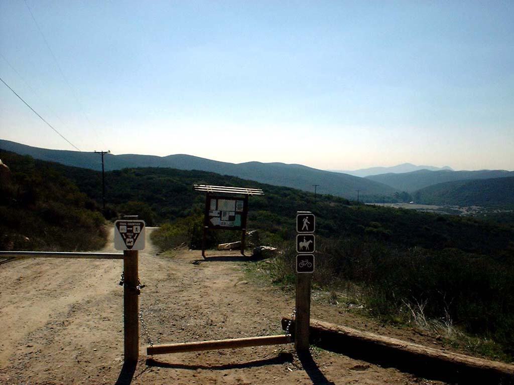 lunchtime
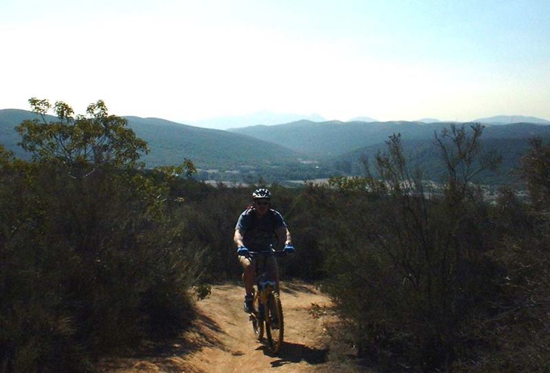 and headed for the trailhead at the north end of the canyon. It was exceptionally warm for
a February day even by San Diego standards. From the parking we took a single track
off to left of the parking lot as look down fire road that goes down
into the canyon. The single track at this point was mostly scrub.
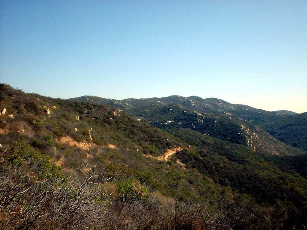
This single track eventually took us down to an area called Martha's Grove.
and headed for the trailhead at the north end of the canyon. It was exceptionally warm for
a February day even by San Diego standards. From the parking we took a single track
off to left of the parking lot as look down fire road that goes down
into the canyon. The single track at this point was mostly scrub.
This single track eventually took us down to an area called Martha's Grove.
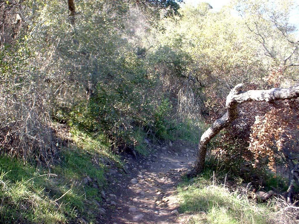
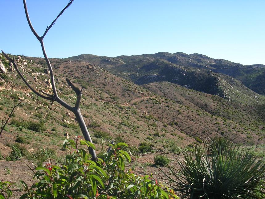
Views from the single track that goes from the trailhead down to Martha's Grove

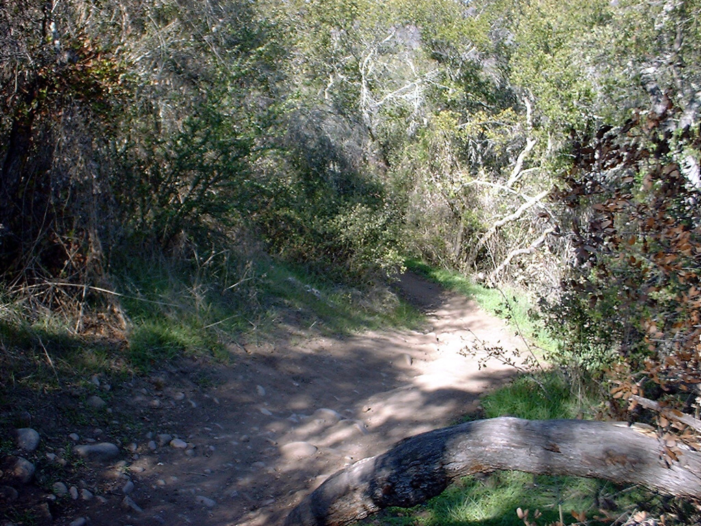
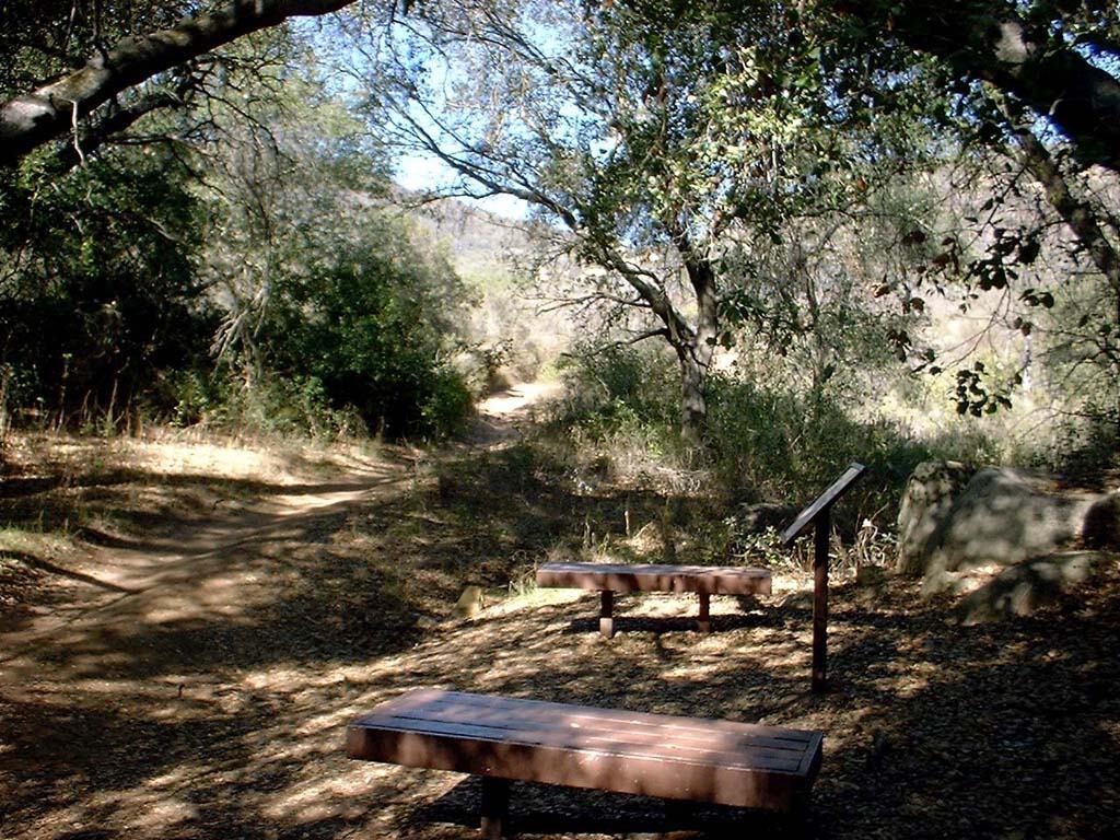 This
is the area known as Martha's Grove. It was nice and shady here.
There was a trail that headed west as well as one that headed south. We
took took the trail that headed south.
This
is the area known as Martha's Grove. It was nice and shady here.
There was a trail that headed west as well as one that headed south. We
took took the trail that headed south.
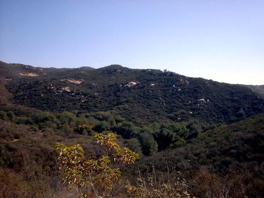
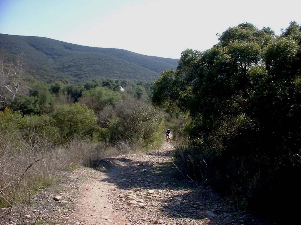
 After
cruising down the some more single track we were dumped out onto a fire road. From here we went left and climbed a hill. The
fire road end a T-intersection just past the top of the hill. We went left (North)
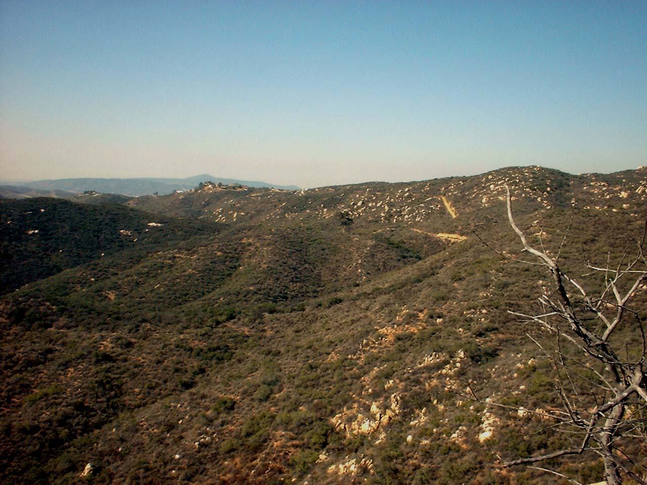
from there and continued climbing on a fire road. The climb provided
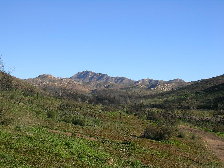
some pretty nice views of the canyon below. After climbing the fire road,
Mike (who had not ridden here in some years) discovered that some of the
"honey" trails were now gone due to development so we decided to some
trail exploration to the west. (We were not northeast of the trailhead.)
After
cruising down the some more single track we were dumped out onto a fire road. From here we went left and climbed a hill. The
fire road end a T-intersection just past the top of the hill. We went left (North)
from there and continued climbing on a fire road. The climb provided
some pretty nice views of the canyon below. After climbing the fire road,
Mike (who had not ridden here in some years) discovered that some of the
"honey" trails were now gone due to development so we decided to some
trail exploration to the west. (We were not northeast of the trailhead.)
 After some "trail and error" we ended up back at the trailhead. From
there we took the main fire road down into the canyon and cruised down past the
ranch house. We eventually went around a fence and continued south for a
few miles before we turned around. On the way back we went along
some single track that runs along the bottom of the west ridge.
After some "trail and error" we ended up back at the trailhead. From
there we took the main fire road down into the canyon and cruised down past the
ranch house. We eventually went around a fence and continued south for a
few miles before we turned around. On the way back we went along
some single track that runs along the bottom of the west ridge.
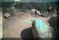
 To
the left is Mike Roach working a climb along the west ridge in February 2002. To
the right is Michael Paul and Keith Ross working up the same climb in December
2004.
To
the left is Mike Roach working a climb along the west ridge in February 2002. To
the right is Michael Paul and Keith Ross working up the same climb in December
2004.
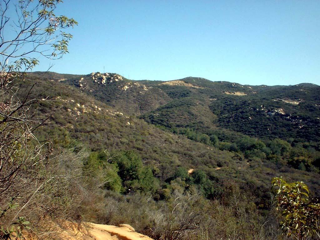
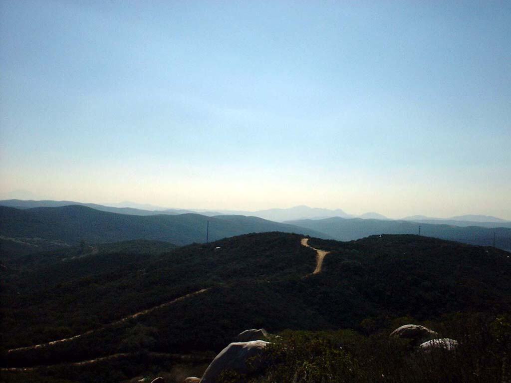
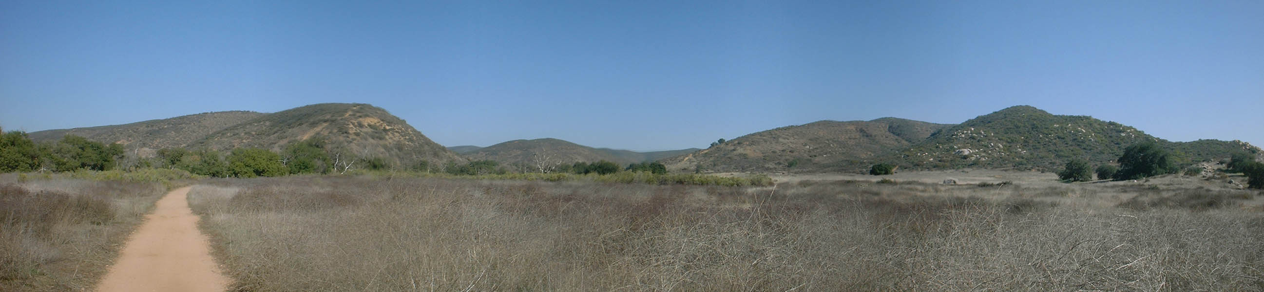
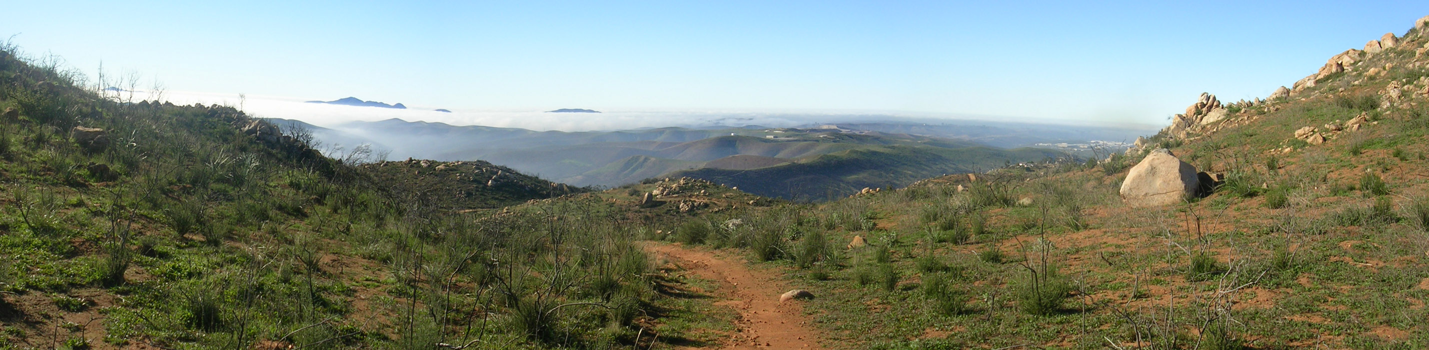
Here is a panoramic shot near the south end of the canyon
Eventually the single track dumped us back on the main fire road north of the ranch house. It was getting close to quitting time back at the office so we took the main fire road back to the trailhead were a nice brewsky was waiting for us. My kinda day of work!
Video
 Here is
the video of some fun riding out in Sycamore Canyon on May 4th 2002
Here is
the video of some fun riding out in Sycamore Canyon on May 4th 2002
20MB
2003 Firestorm Pictures
These pictures where taken by "MTBCHIP" on October 31st
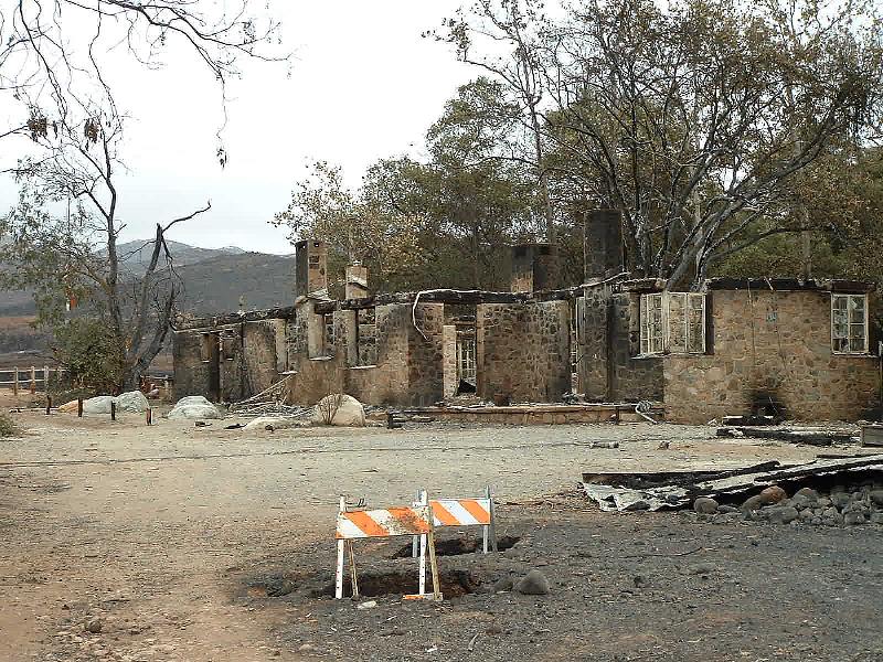

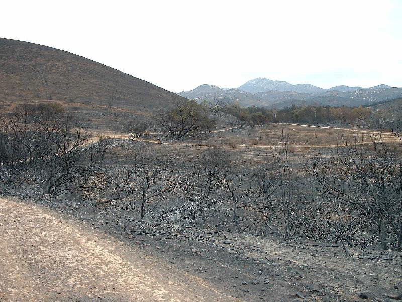
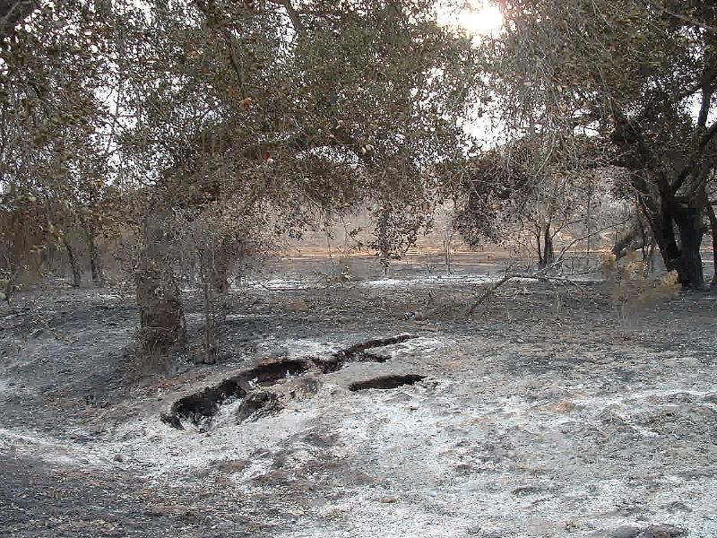
Here is a link to a bunch of fire damage pictures on the Goodan Ranch Website.
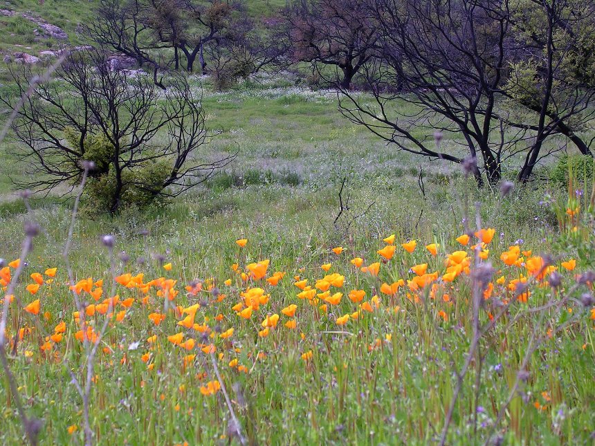
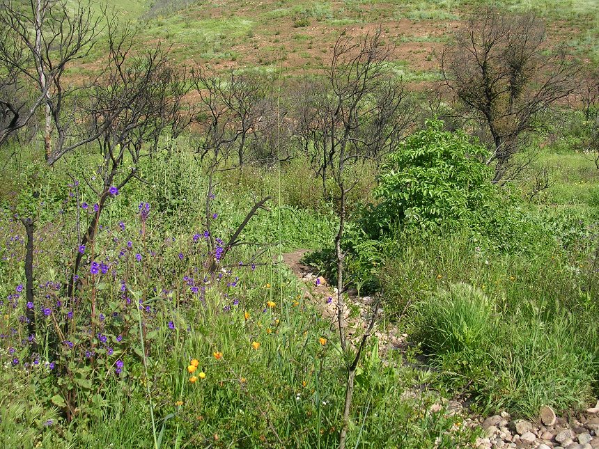
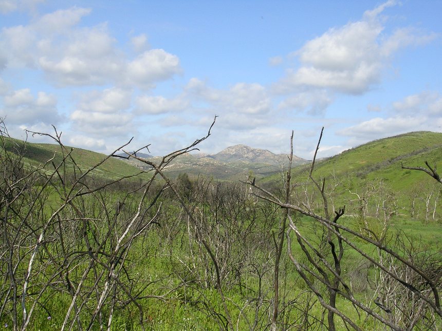
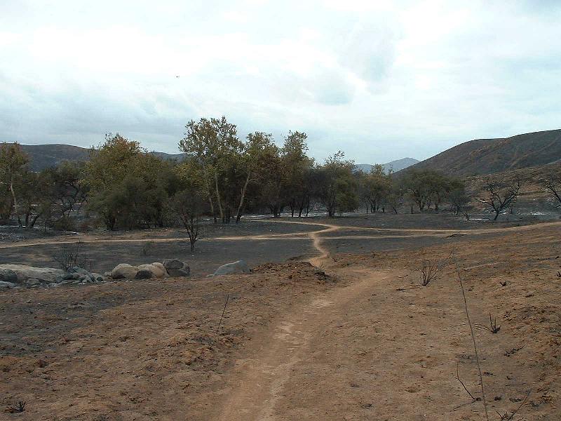
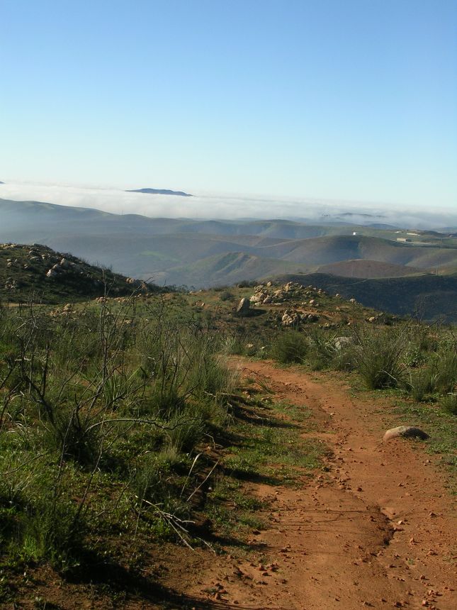
2004 Update

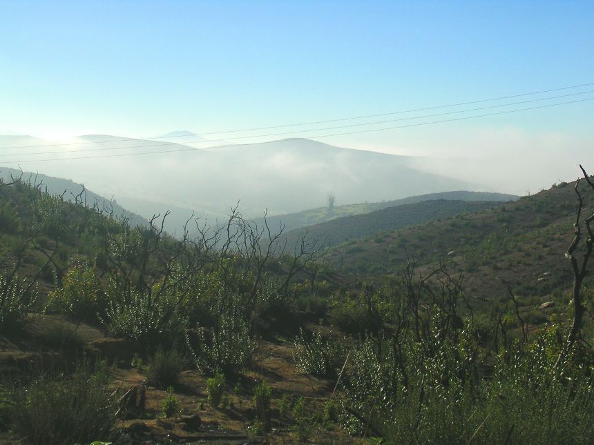
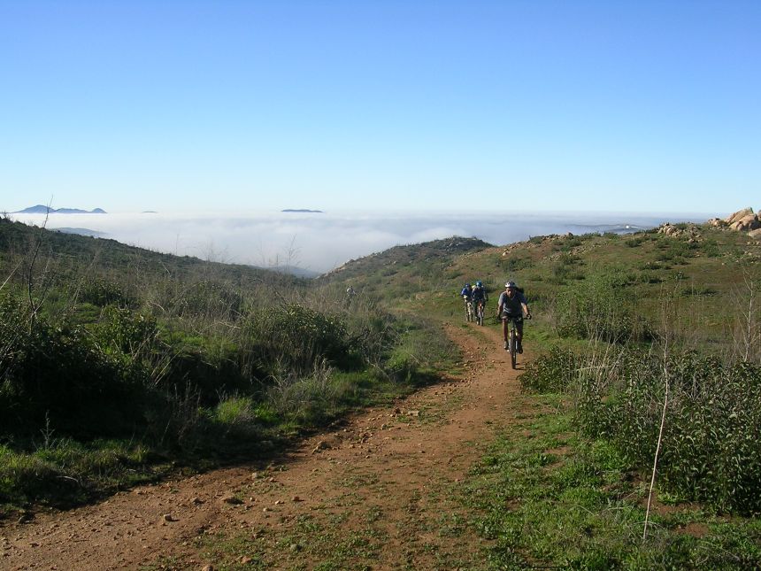
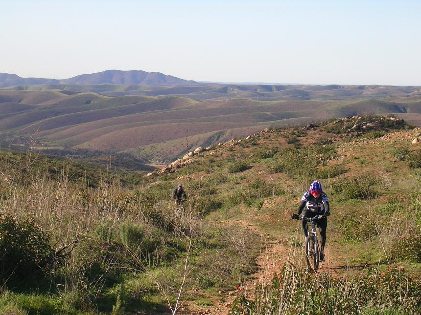
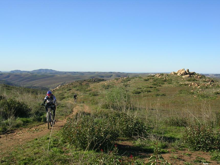
Some views from the upper trailhead
 December
2004 - The canyon is recovering well from the 2003 fires with plenty of
green grass covering the ground. You will certainly have plenty of views
now as most of the trees are gone.
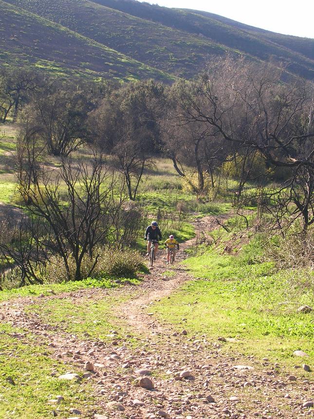
December
2004 - The canyon is recovering well from the 2003 fires with plenty of
green grass covering the ground. You will certainly have plenty of views
now as most of the trees are gone.
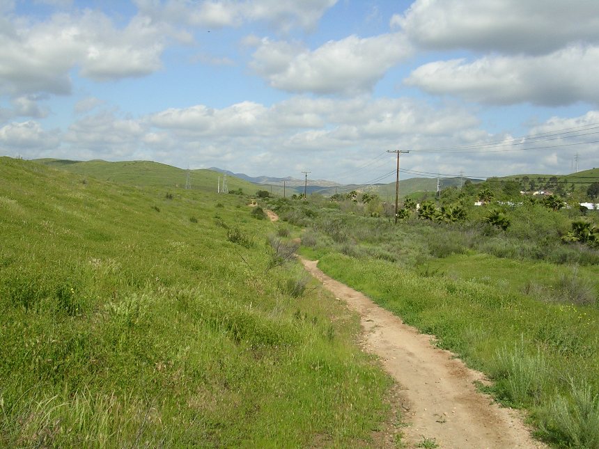
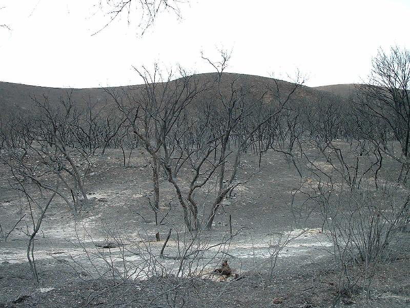
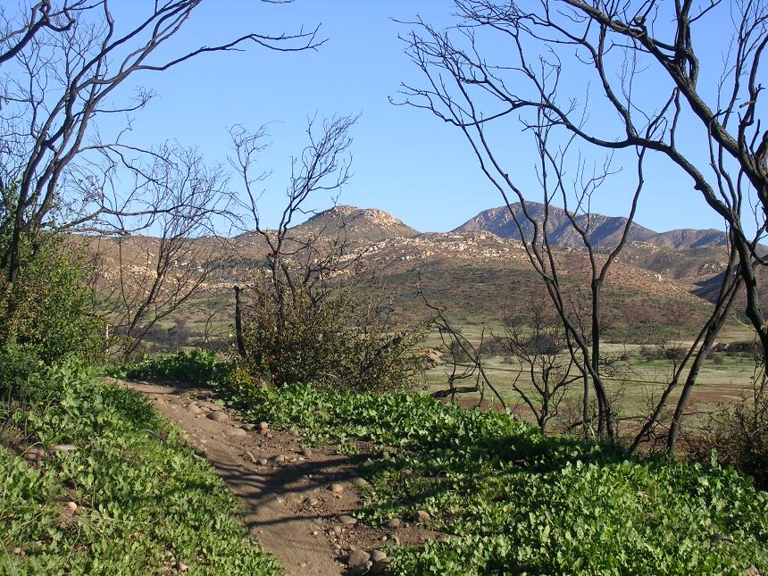
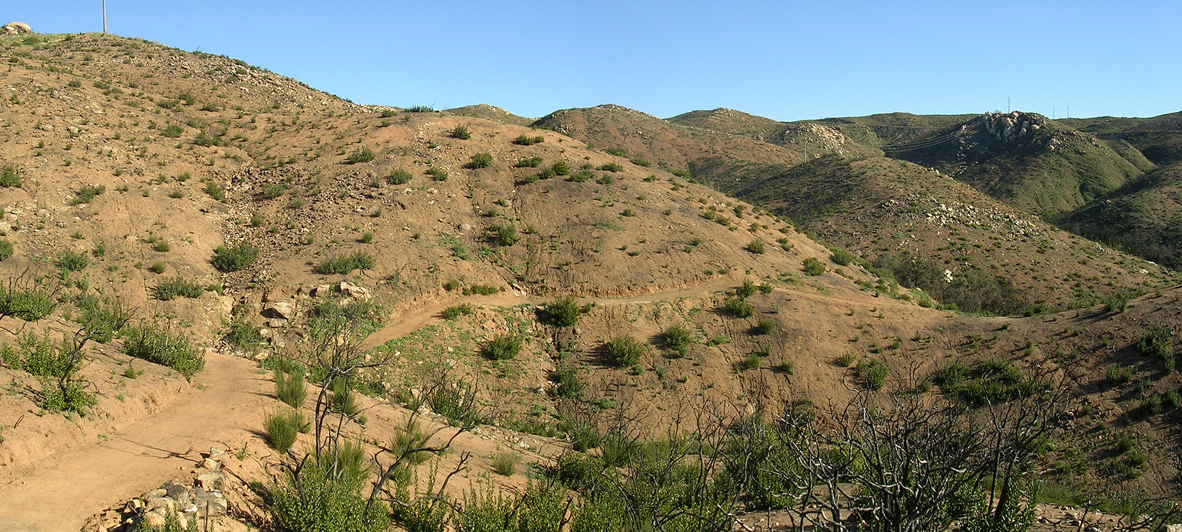
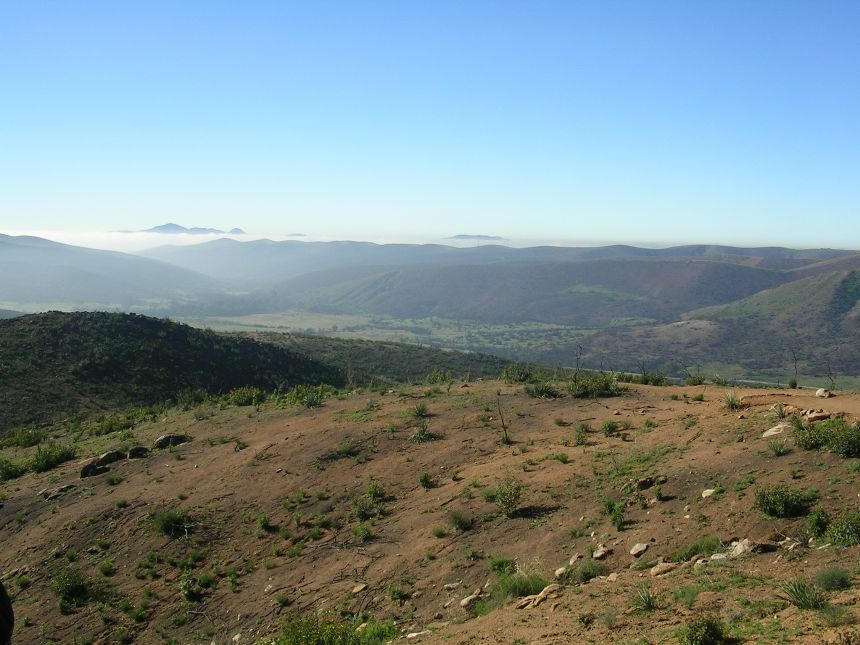
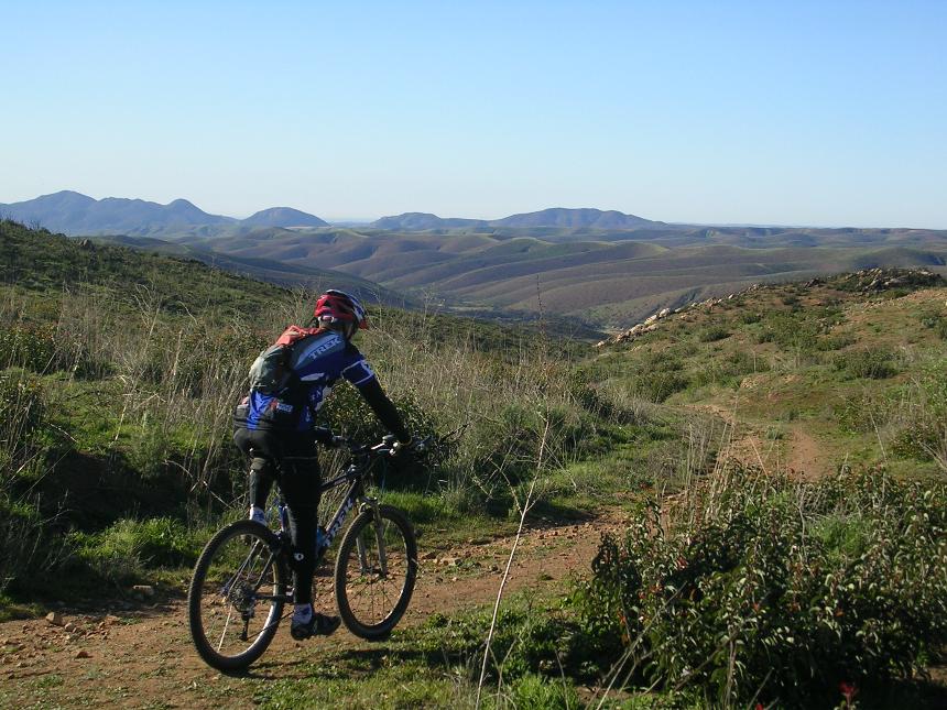
 The
Martha's Grove trail now show some
exposure that I really had not appreciated before. There has been some
extensive work on the trail to control erosion but it sanitized much of the
trail.
The
Martha's Grove trail now show some
exposure that I really had not appreciated before. There has been some
extensive work on the trail to control erosion but it sanitized much of the
trail.
Here is some of the "moonscape" that you will see on
Martha's Grove now (589kb file)
Tip Top
 Tip
Top is a "bonus" section we typically do in conjunction with Sycamore
Canyon. Once we get to the north end of the canyon at the top of Martha's
Grove we leave the park on the paved road and hang a right on a dirt road maybe
150 yards of the road. About 2/10ths of mile up the dirt road you come to
a gate. Go across the horse crossing and continue up hill as the dirt road
is now in the "fire road" category now. At the first
intersection, hang a left and continue uphill. You next turn will be a Y
junction. Go to the right (you will be coming down from the left on your
way back). From here we take the old fireroad uphill where it will dwindle
down to a single track. You will eventually come up to a ridge top where
you come to a T-junction with another singletrack. There is plenty of
exploring to do up here, but we typically hang a right and follow the single
track for a ways and then catch the first singletrack to the left and work our
way back down the ridge. I'll try to get some better direction up once I
do some more exploring in that area.
Tip
Top is a "bonus" section we typically do in conjunction with Sycamore
Canyon. Once we get to the north end of the canyon at the top of Martha's
Grove we leave the park on the paved road and hang a right on a dirt road maybe
150 yards of the road. About 2/10ths of mile up the dirt road you come to
a gate. Go across the horse crossing and continue up hill as the dirt road
is now in the "fire road" category now. At the first
intersection, hang a left and continue uphill. You next turn will be a Y
junction. Go to the right (you will be coming down from the left on your
way back). From here we take the old fireroad uphill where it will dwindle
down to a single track. You will eventually come up to a ridge top where
you come to a T-junction with another singletrack. There is plenty of
exploring to do up here, but we typically hang a right and follow the single
track for a ways and then catch the first singletrack to the left and work our
way back down the ridge. I'll try to get some better direction up once I
do some more exploring in that area.
Here are some pictures taken on Tip Top on December 12, 2004

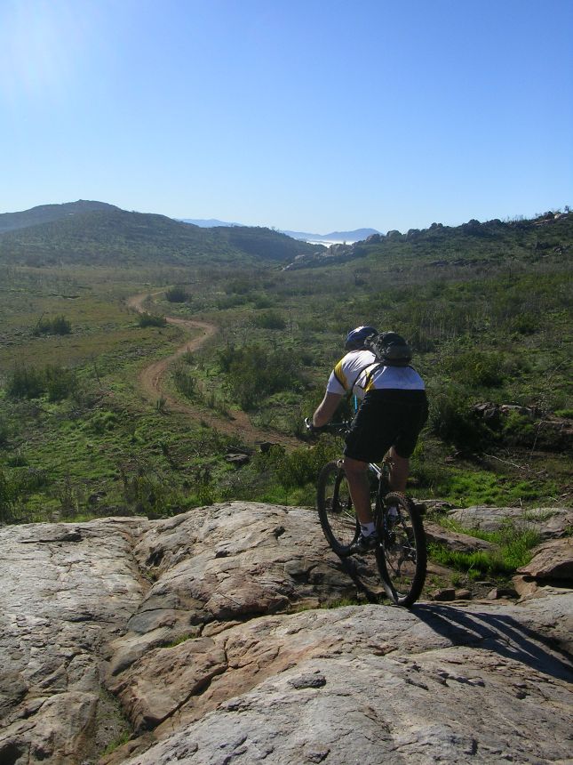

Here is a pan shot from Tip Top looking back at Sycamore
A few more shots from the Tip Top area on Christmas Eve
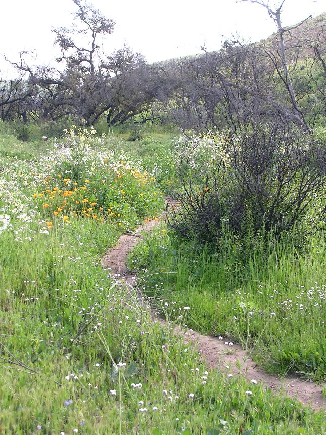
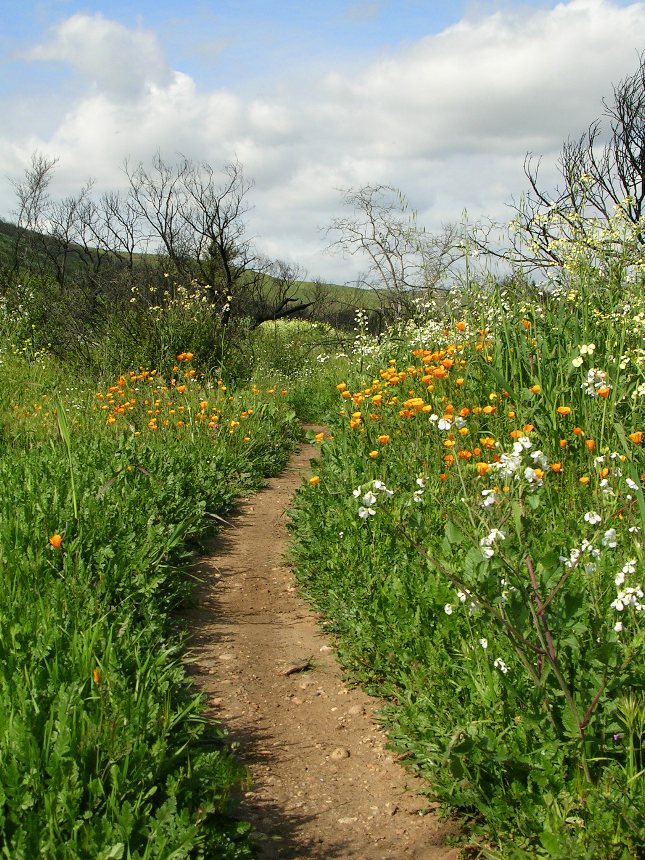
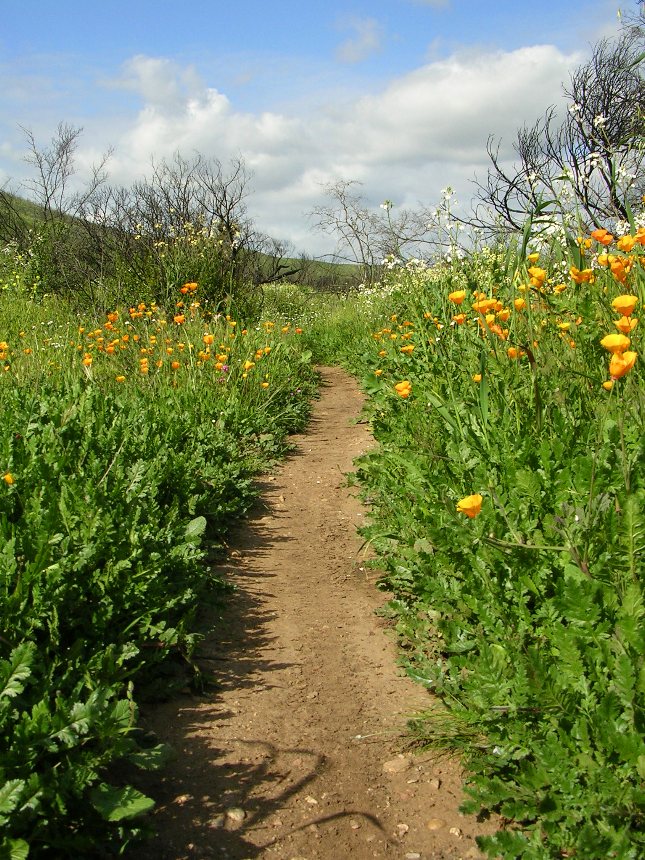
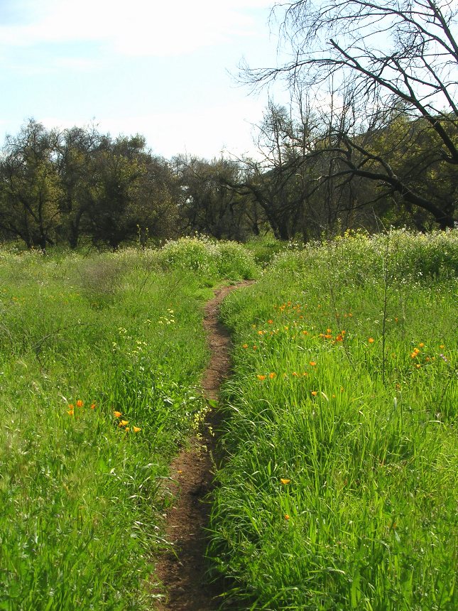
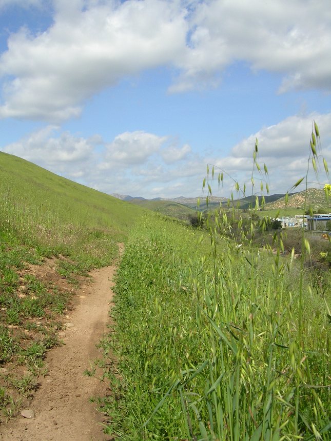
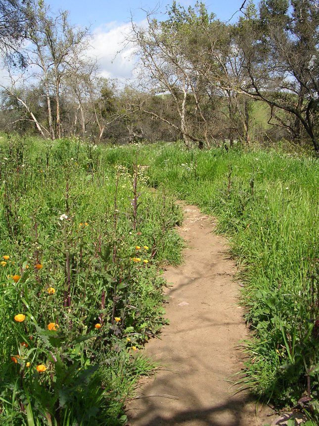
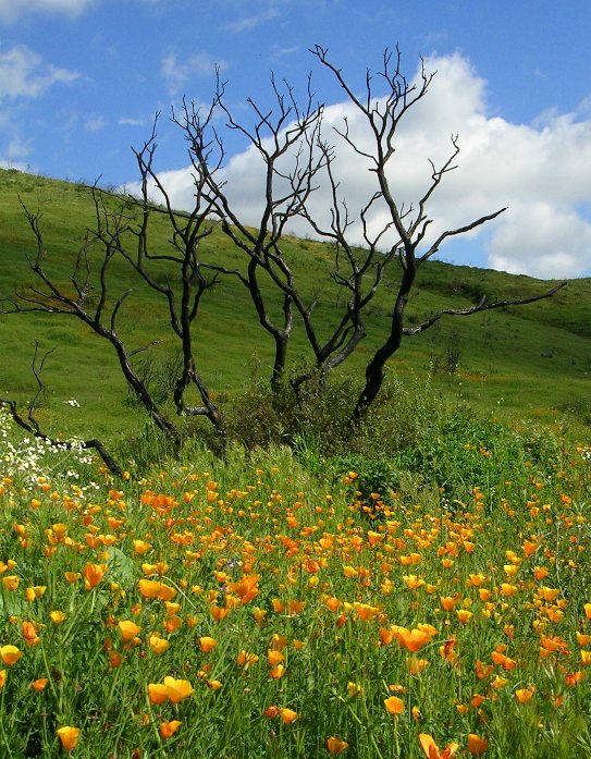
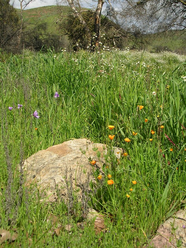
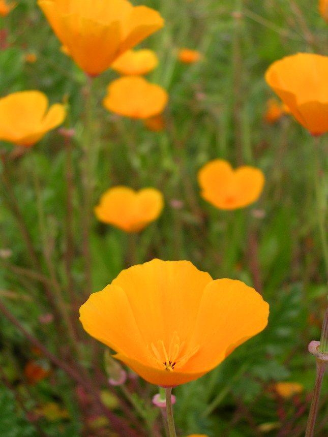
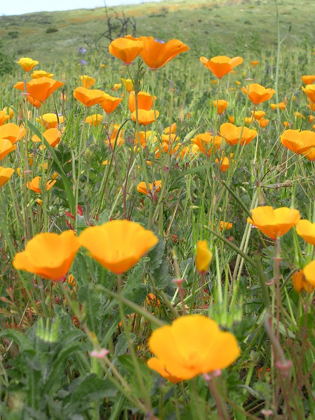
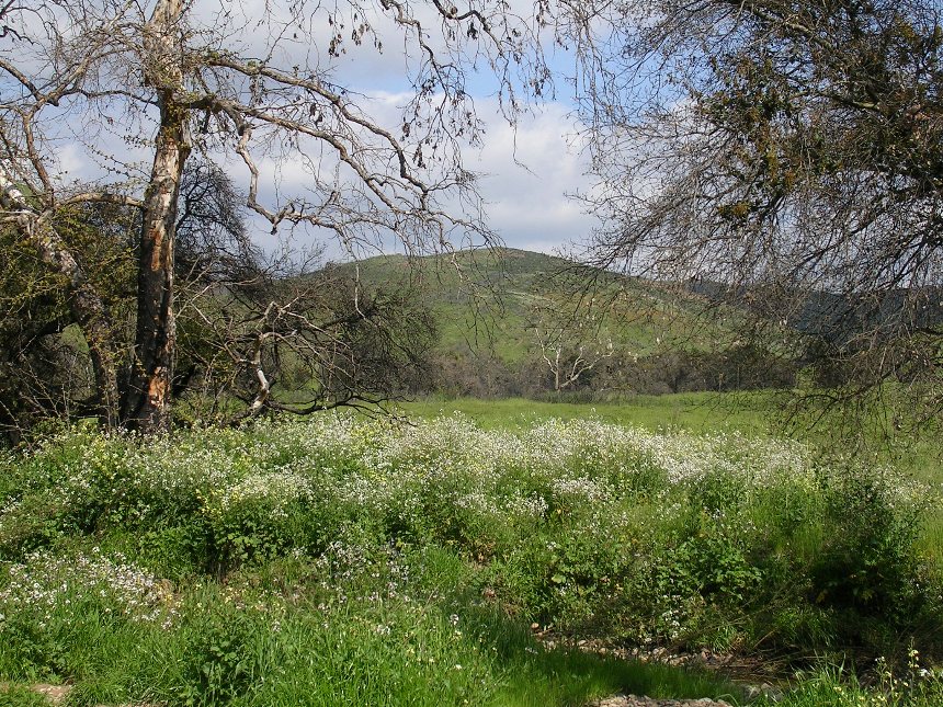
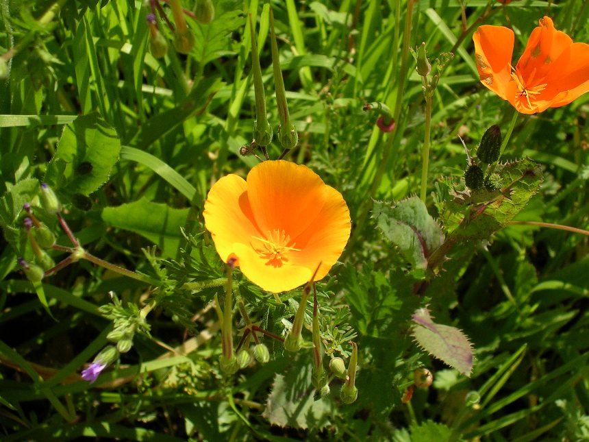
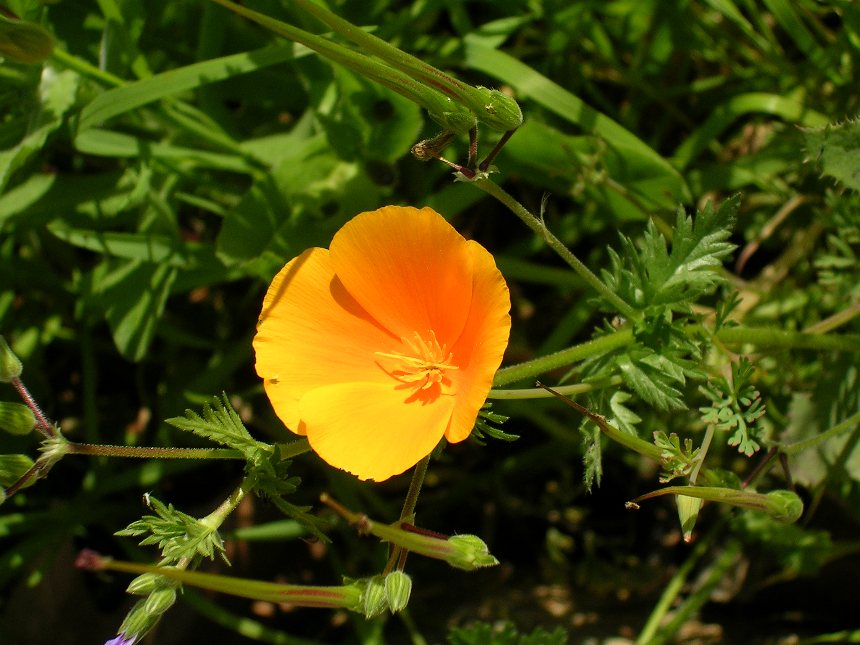
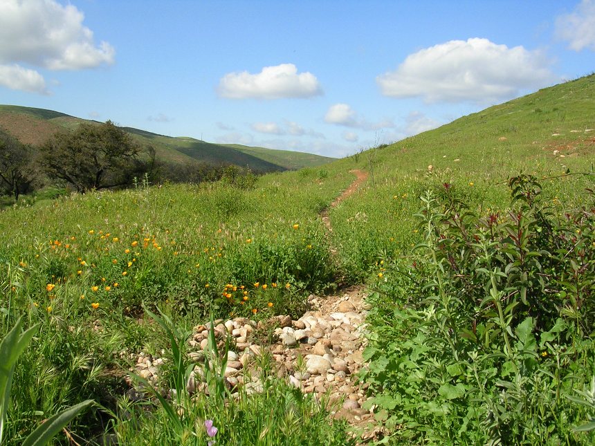
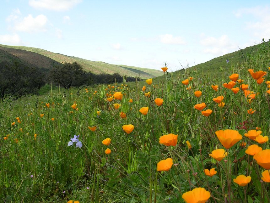
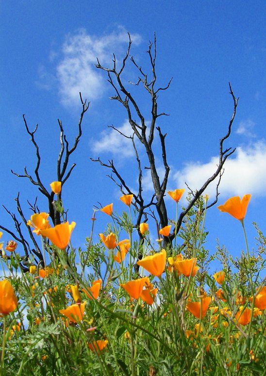
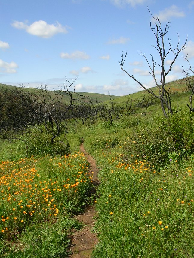
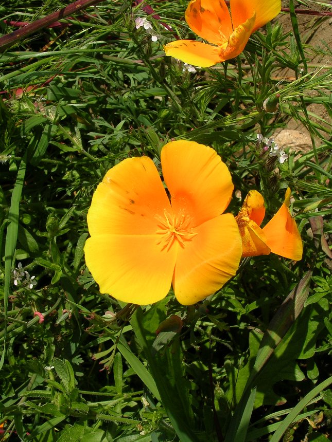
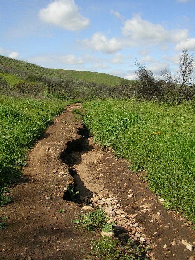
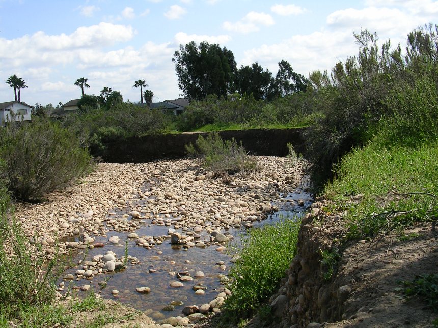
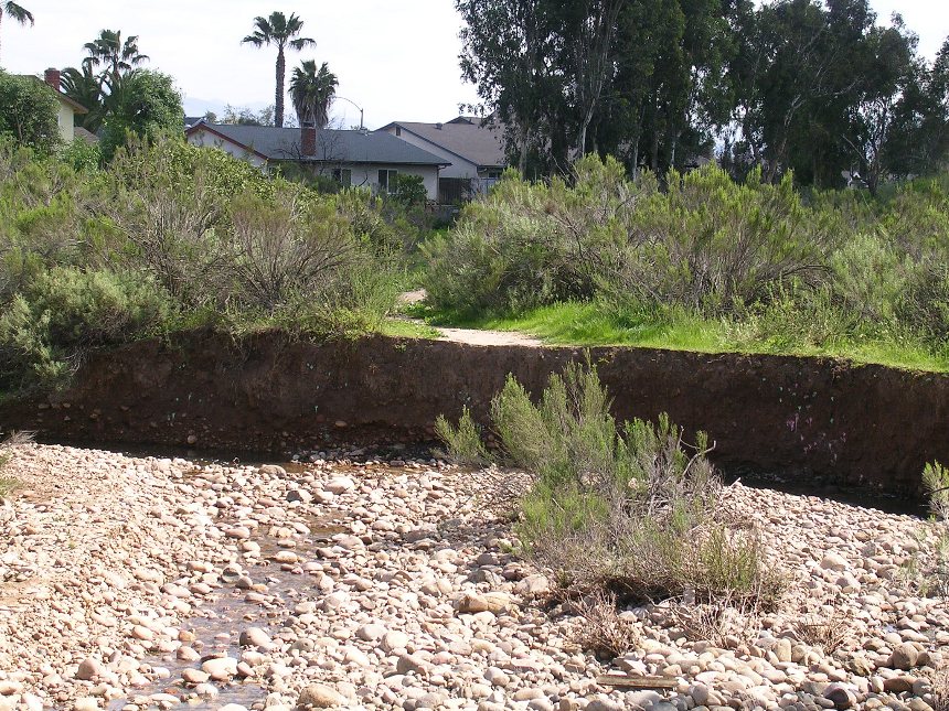
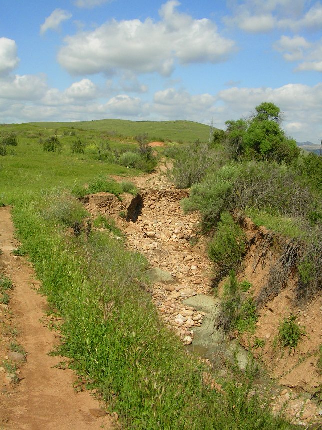
Spring 2005
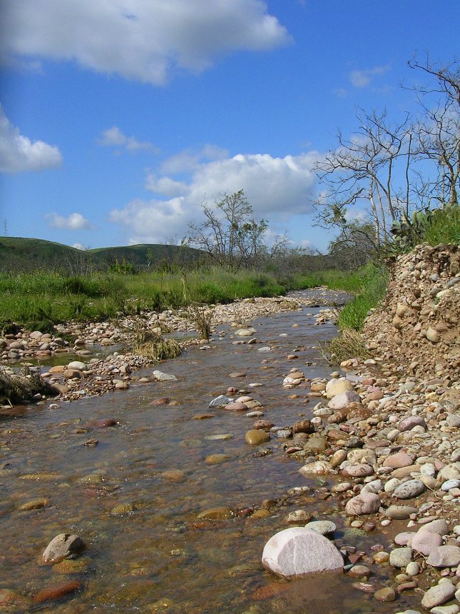
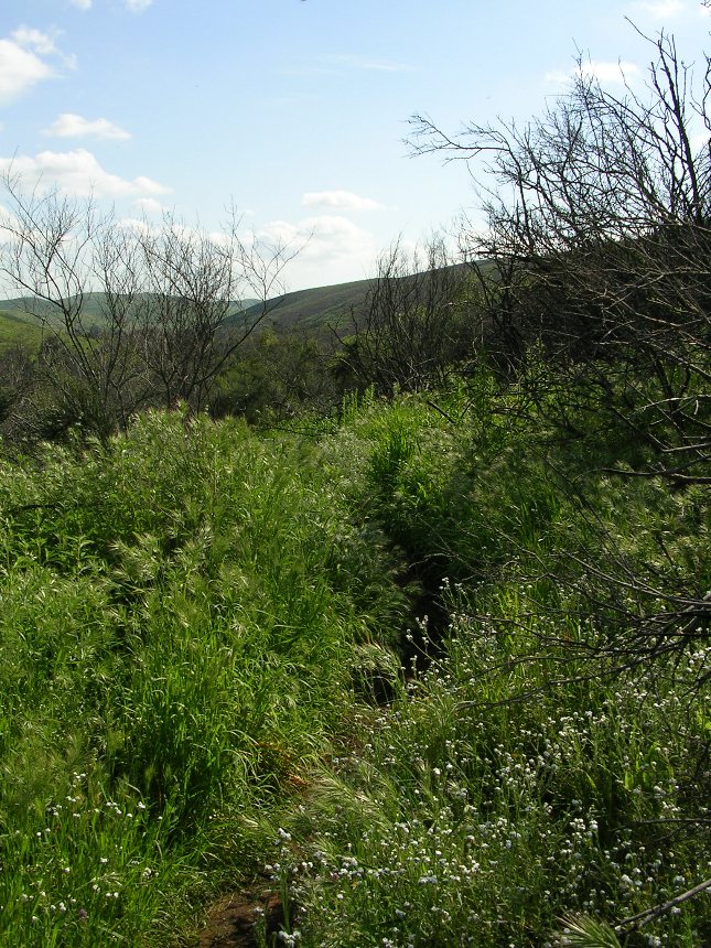
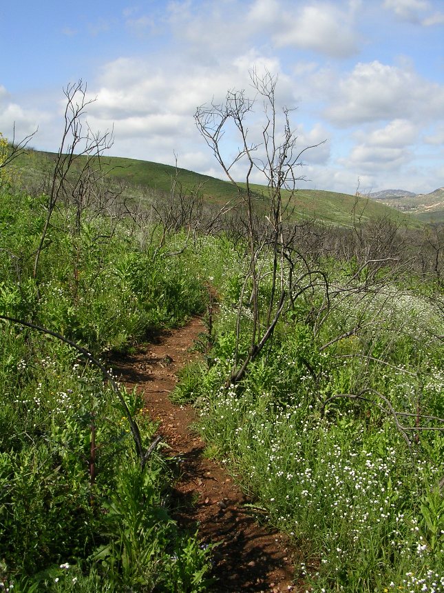
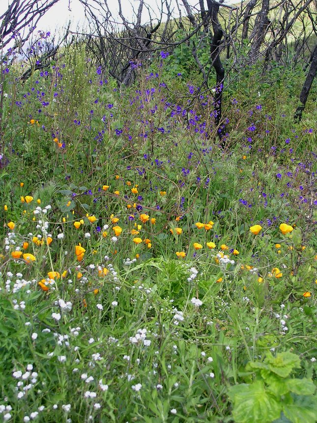
The huge amounts of rain that Southern California has received during the winter of 2004 and 2005 has helped to speed up the rebirth of this place. These pictures do a very poor job of capturing the pure beauty of this place in this magically time of the year.
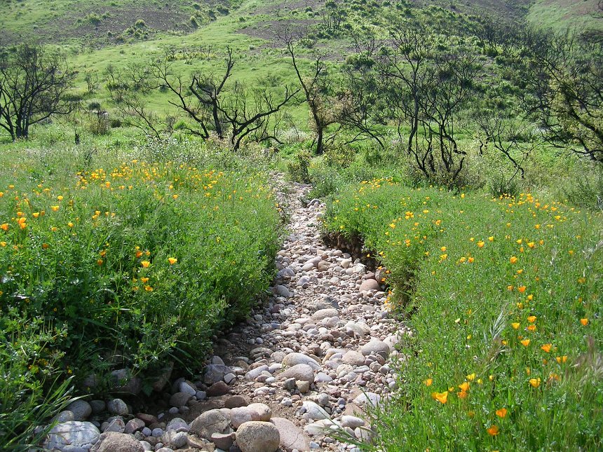
It is amazing to see what the power of flowing water can do to reshape the trails in such a relatively short amount of time
I'll shut up now and let you take a look for yourself