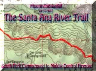
The Santa Ana River Trail (SART) near the hamlet of Angelus Oak in the San
Bernardino National Forest is a really fun ride that is in the epic category.
While we only did a portion of the trail we still logged 31.5 miles of riding with 28 mile of it being sweet single track. While the
difference between the lowest and highest point (6,435') is only about 1500 feet
all the roller coasting the trail does gives you around 3,000' worth of
climbing. This sounds like it could be painful but with all of the tree
dodging, tight trail weaving, and you do not notice the climbing
much.
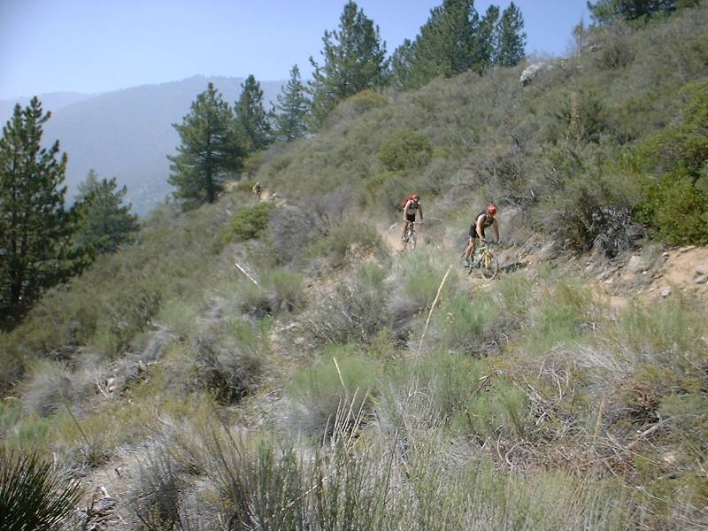
HAZARDS: The trail is quite tight and is often loose just off
the trail. Much of the trail cut along the side of a steep ridge so going
often trail could make for a long slide down. It can get quite hot here in the summer. |
|
|
| Directions: Get yourself into Redlands, For San Diego area
types. I15 North to the I215 North to the I10 East take the HWY38
North. You will go through Redlands and the town of Mentone. Get on
the 38 as you head up the hill. When you come into Angelus Oak look for
the post office and general store on you left (Don't Blink!) About .3
miles further down the road you will see a large gravel pull out on the
left. Park here. Right there also is a Fire Road that will either be
called Mill Creek Rd or Middle Control Rd (according to the time of the year
from what I read). You will be climbing up this fire road at the end of
the ride |
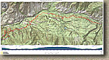  Here is a PDF map of the ride suitable for printing on legal sized (8.5" x 14") paper. Take note that the elevation profile shows a lot more elevation change than there
actually is. See my notes on the "side-hill effect" when using a GPS. Here is a PDF map of the ride suitable for printing on legal sized (8.5" x 14") paper. Take note that the elevation profile shows a lot more elevation change than there
actually is. See my notes on the "side-hill effect" when using a GPS.
GPS files for this
ride:TOPO, GDB, GPX, KML |
Trail Notes:
  From the trailhead at the top of middle control road, (SART-TH) pedal back west on HWY 38 to the post office/general store. Ride in
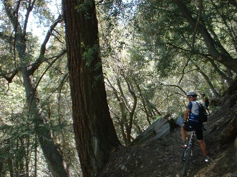
front the post office and general store (SART-1) and followed a fire road that is to the east (right of the store if you are looking at the front of it) of the store and do little climbing for about 1/2 mile. You will then see a Welcome to the SART board and a single track dropping off to the right of the board (SART-3). The
next 2.25 miles is what I consider the coolest part of the entire
ride. Mostly downhill with some super twisty narrow single track that
offered some stunning views. It is not very technical but it could be
spooky to someone uncomfortable with skinny lines and heights, You will do
a little climbing here and there and around 3.3 miles you intersect with the
Mill Creek Fire Road/Middle Control Road. (SART-4)
From the trailhead at the top of middle control road, (SART-TH) pedal back west on HWY 38 to the post office/general store. Ride in
front the post office and general store (SART-1) and followed a fire road that is to the east (right of the store if you are looking at the front of it) of the store and do little climbing for about 1/2 mile. You will then see a Welcome to the SART board and a single track dropping off to the right of the board (SART-3). The
next 2.25 miles is what I consider the coolest part of the entire
ride. Mostly downhill with some super twisty narrow single track that
offered some stunning views. It is not very technical but it could be
spooky to someone uncomfortable with skinny lines and heights, You will do
a little climbing here and there and around 3.3 miles you intersect with the
Mill Creek Fire Road/Middle Control Road. (SART-4)
|
  As you come out onto
the fire road you will see the SART continuing on about 60 feet down the
road. The SART is labeled FS 2E03. Keep following the signs and you
will be hard pressed to go wrong. At 5.23 miles the singletrack come out on a wide old road (SART-4). Take not of this spot as the wider old road will connect back up to middle control road.
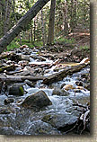
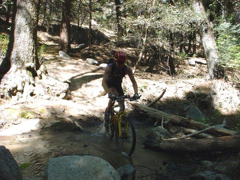
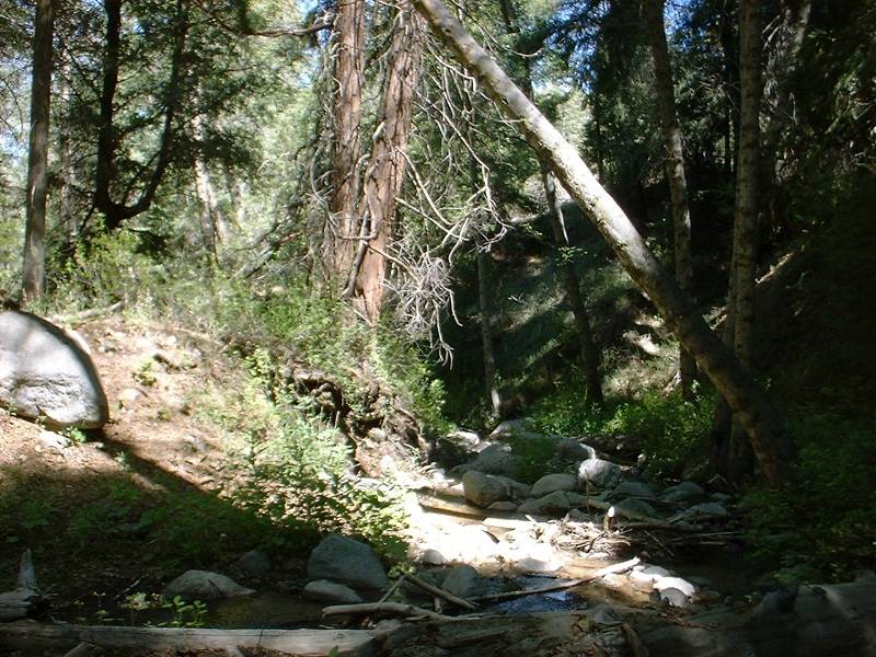
At around 7.4 miles you will cross a creek. After the creek
you will climb up into an alpine meadow where the trail dodges around lodge pole
pine trees. At around 9.8 miles you will cross the paved Glass
Road. The trail continues right on the other side of the road, but it is
not marked at this point. As you come out onto
the fire road you will see the SART continuing on about 60 feet down the
road. The SART is labeled FS 2E03. Keep following the signs and you
will be hard pressed to go wrong. At 5.23 miles the singletrack come out on a wide old road (SART-4). Take not of this spot as the wider old road will connect back up to middle control road.
At around 7.4 miles you will cross a creek. After the creek
you will climb up into an alpine meadow where the trail dodges around lodge pole
pine trees. At around 9.8 miles you will cross the paved Glass
Road. The trail continues right on the other side of the road, but it is
not marked at this point.
|
    |
  After this point the climbing intensifies as you leave the meadow and the trail
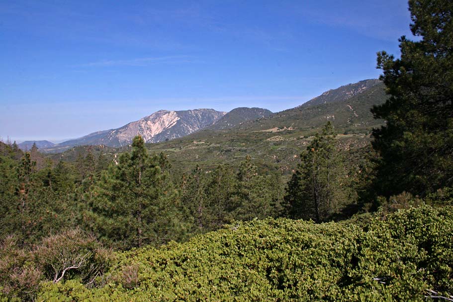
becomes somewhat more exposed. As you continue along the view becomes
spectacular as you see the river valley below and mountains further to the
north. At around 14.2 miles you come to the intersection of a trail
that goes up to Barton Flats Campground and trail FS 1N45 that goes down to the
river. We continued straight on the SART. At 15.8 miles we passed a
trail that goes to right and goes up to HWY 38. Continue straight and
at around 14.8
miles you start descending again and where soon rolling on pavement at the
South Fork Picnic area. Continue on the pavement for about 1/10th of a
mile to HWY 38 (SART-6). Cross the 38 and go into the campground. There
is water available in most of the campsites. Just find an empty spot or a
ask someone to use their faucet and fill up. This is a good spot to grab
some lunch and take a break. The trail continues onto the
east but turn around here. After this point the climbing intensifies as you leave the meadow and the trail
becomes somewhat more exposed. As you continue along the view becomes
spectacular as you see the river valley below and mountains further to the
north. At around 14.2 miles you come to the intersection of a trail
that goes up to Barton Flats Campground and trail FS 1N45 that goes down to the
river. We continued straight on the SART. At 15.8 miles we passed a
trail that goes to right and goes up to HWY 38. Continue straight and
at around 14.8
miles you start descending again and where soon rolling on pavement at the
South Fork Picnic area. Continue on the pavement for about 1/10th of a
mile to HWY 38 (SART-6). Cross the 38 and go into the campground. There
is water available in most of the campsites. Just find an empty spot or a
ask someone to use their faucet and fill up. This is a good spot to grab
some lunch and take a break. The trail continues onto the
east but turn around here.
|
  Coming back the other direction was quite a lot of fun. After the initial
one mile climb from the campground is was mostly a rolling gradual
downhill all the way back to Glass Road. This is such an awesome section of trail. Continuing on will continue to see have quite a few sections that are narrow and along a sidehill. There are a few spots that will require precision with your steering to avoid some tumblage down the hill. As you approach SART-4 (The point I had you remember on the way out. Take the the wider section of trail vice the SART proper.
Coming back the other direction was quite a lot of fun. After the initial
one mile climb from the campground is was mostly a rolling gradual
downhill all the way back to Glass Road. This is such an awesome section of trail. Continuing on will continue to see have quite a few sections that are narrow and along a sidehill. There are a few spots that will require precision with your steering to avoid some tumblage down the hill. As you approach SART-4 (The point I had you remember on the way out. Take the the wider section of trail vice the SART proper.
|
  This wider section is quite fast and a lot of fun. After 1/2 mile or so of more fun speeding along before you intersect with the middle control fire road (SART-7). Turn left (uphill) and start climbing the fireroad. After one half mile you will pass by where you crossed this fireroad on you way out (SART-3) Continue climbing for a little under two more miles until you reach highway 38 and where you started the ride. You should have about 29 miles under your belt at this point.. This wider section is quite fast and a lot of fun. After 1/2 mile or so of more fun speeding along before you intersect with the middle control fire road (SART-7). Turn left (uphill) and start climbing the fireroad. After one half mile you will pass by where you crossed this fireroad on you way out (SART-3) Continue climbing for a little under two more miles until you reach highway 38 and where you started the ride. You should have about 29 miles under your belt at this point.. |
|
| |
Ride Options
  If you are on a group
ride and would like to get in a little social chit chat time while riding try
this option. When you go to cross the paved Glass Road (Its the only paved one
the trail crosses). hang a left and go downhill for about 1/4th of a mile
and roll onto River Road. It will soon turn to dirt and start
climbing. It will join back up with the singletrack across the road
from the South Fork Campground. On the return trip definitely take the
singletrack back as it is mostly downhill in the return direction. If you are on a group
ride and would like to get in a little social chit chat time while riding try
this option. When you go to cross the paved Glass Road (Its the only paved one
the trail crosses). hang a left and go downhill for about 1/4th of a mile
and roll onto River Road. It will soon turn to dirt and start
climbing. It will join back up with the singletrack across the road
from the South Fork Campground. On the return trip definitely take the
singletrack back as it is mostly downhill in the return direction. |
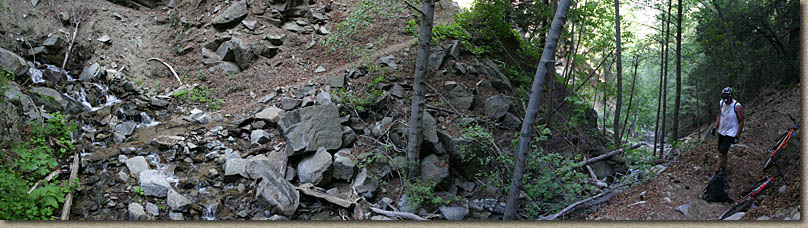
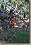
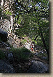
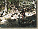
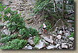
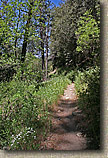
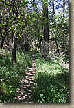
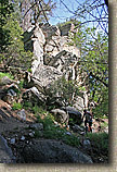
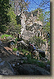
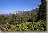
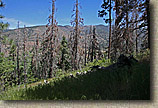
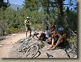
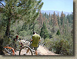
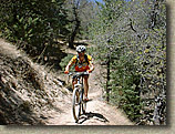
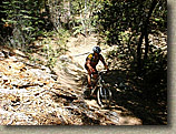
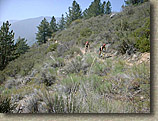
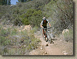
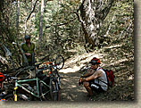
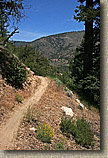
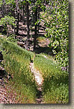
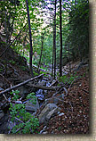
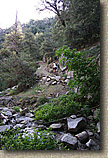
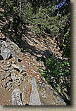
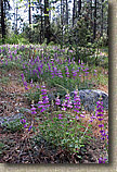
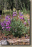
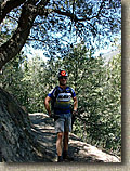
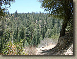
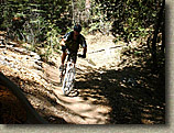
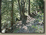
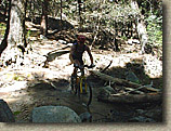
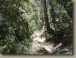
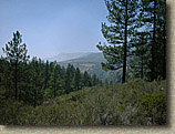
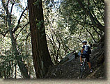
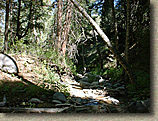
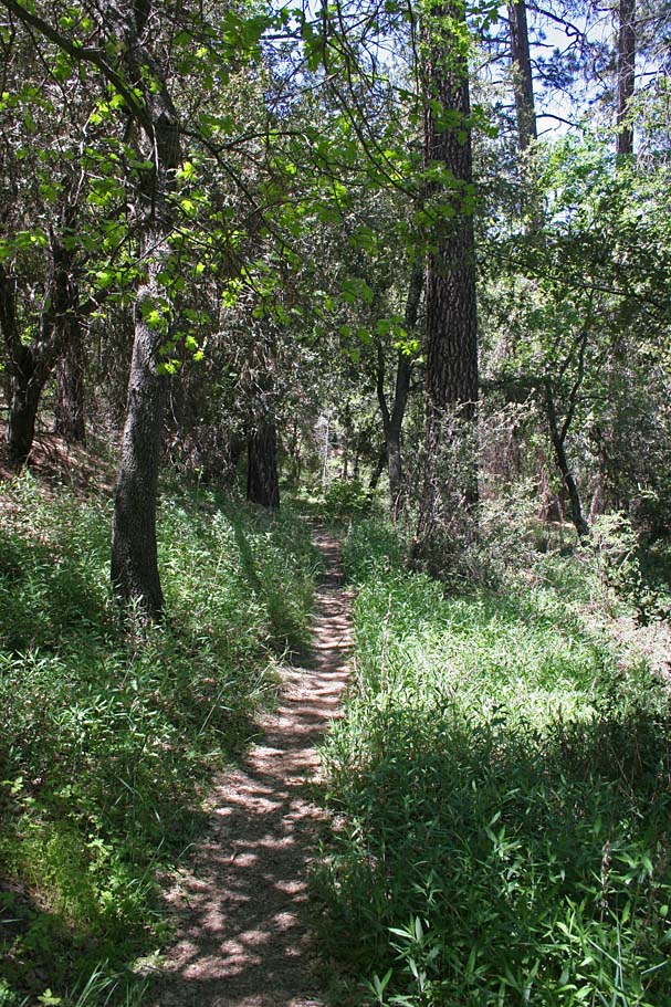
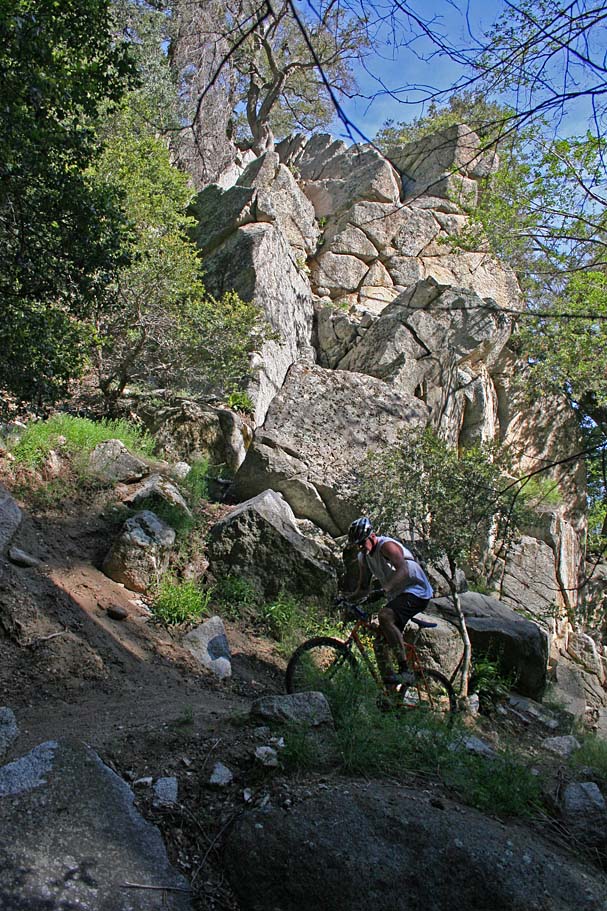
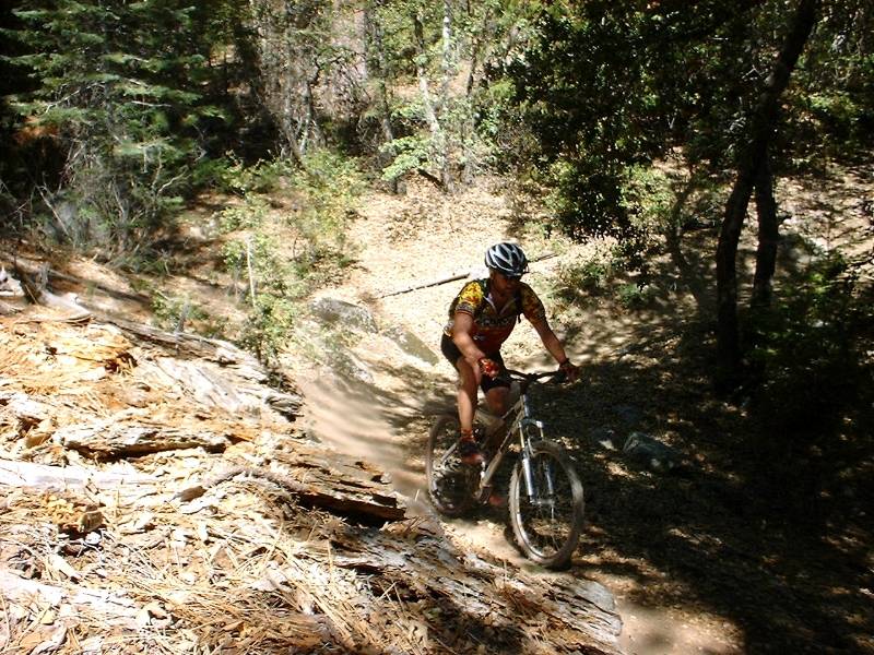
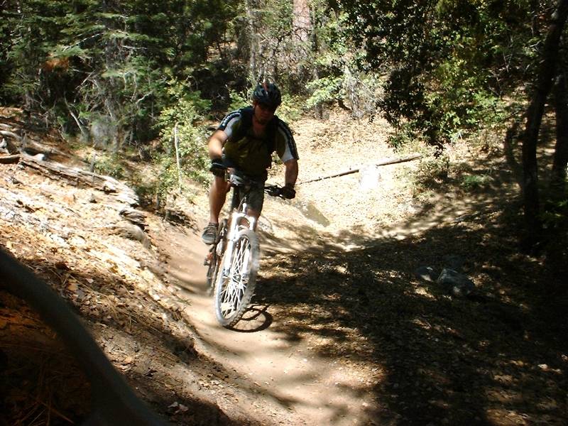
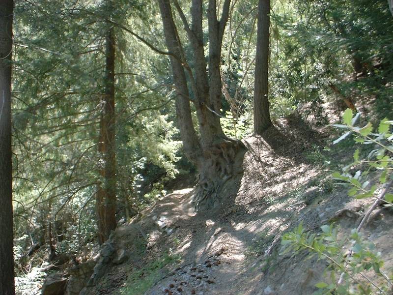
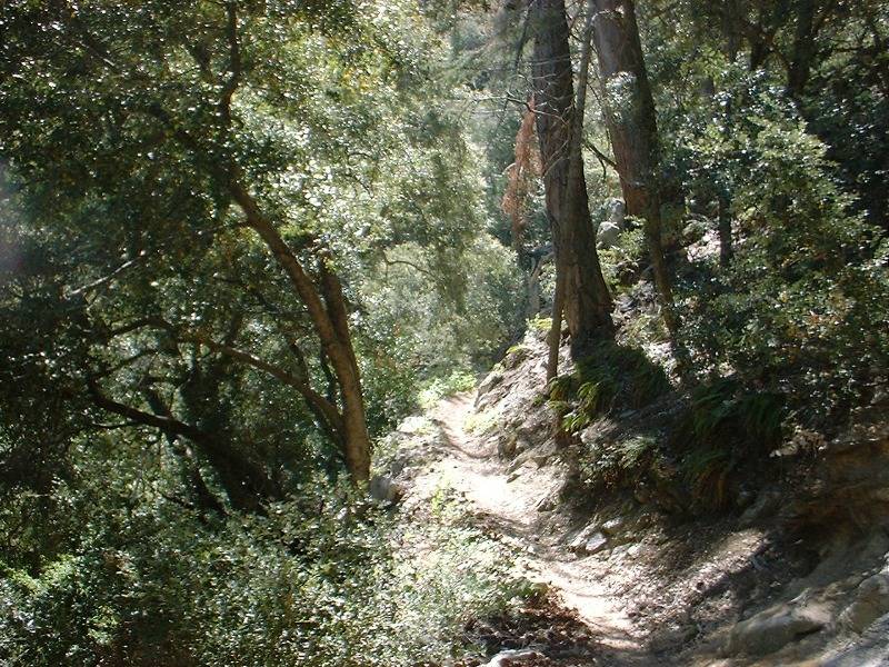
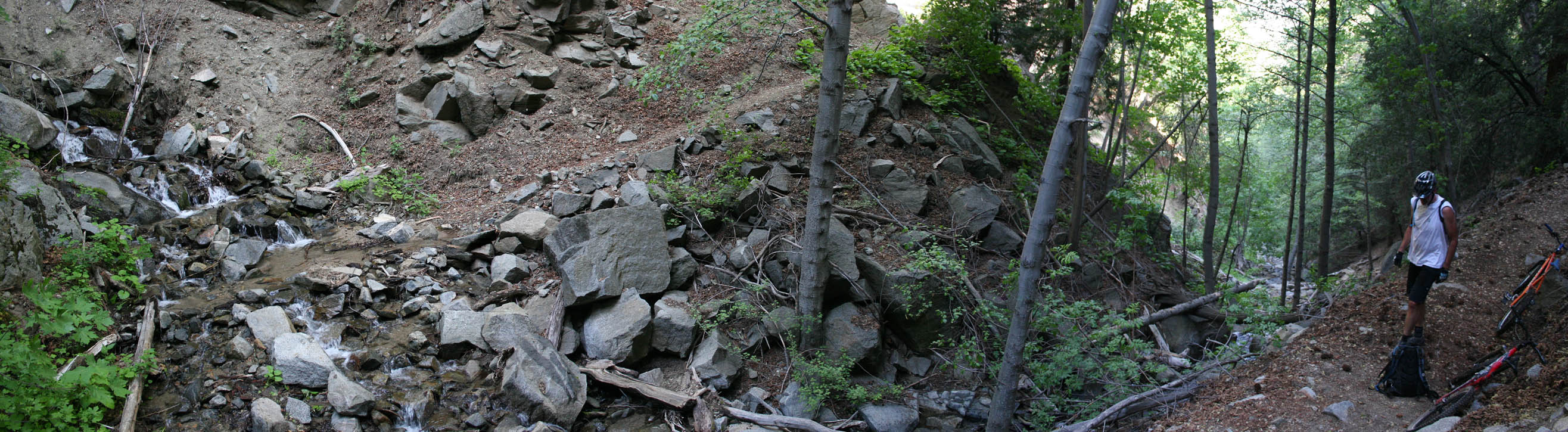
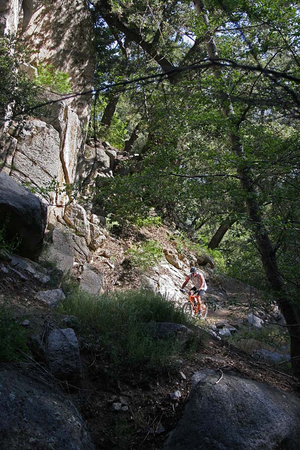
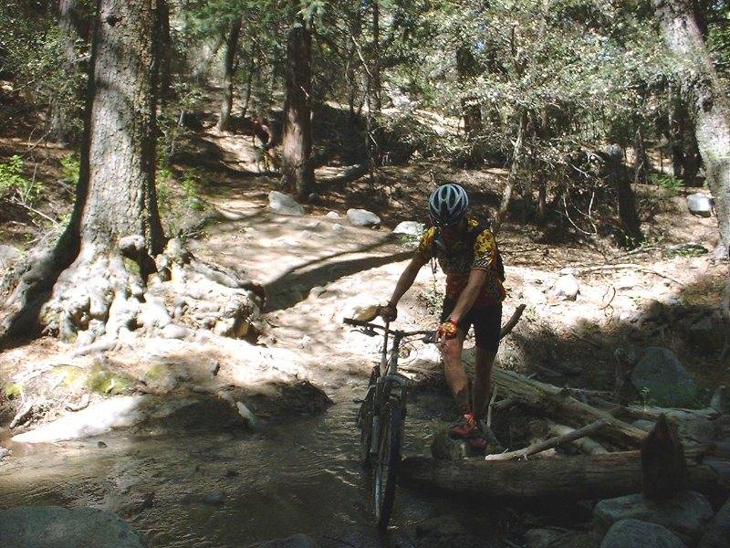
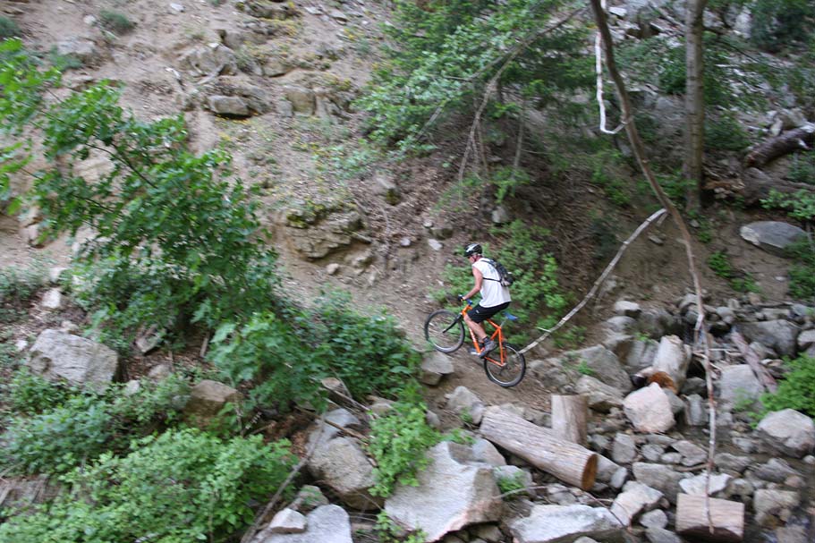
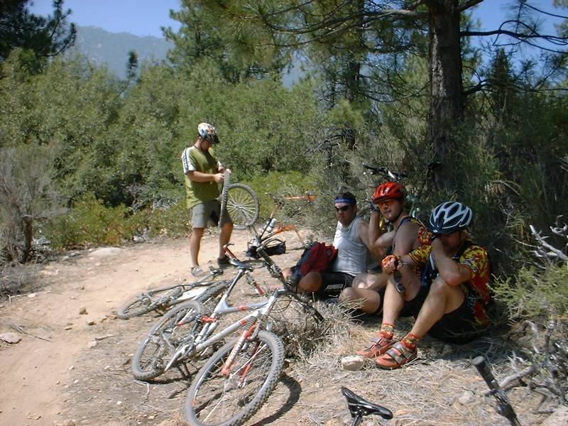
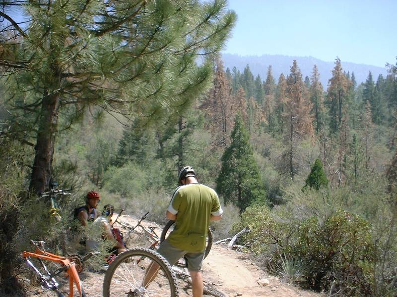
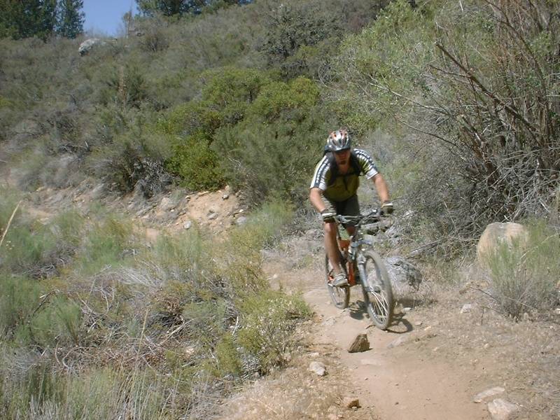
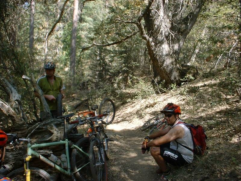
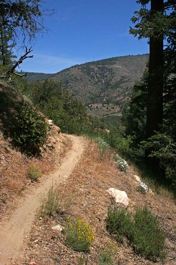
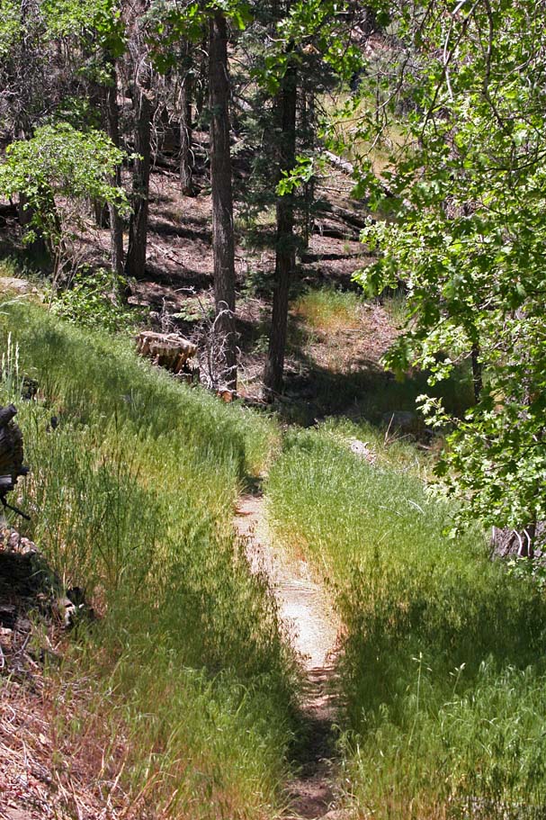
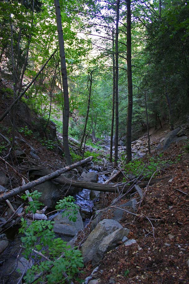
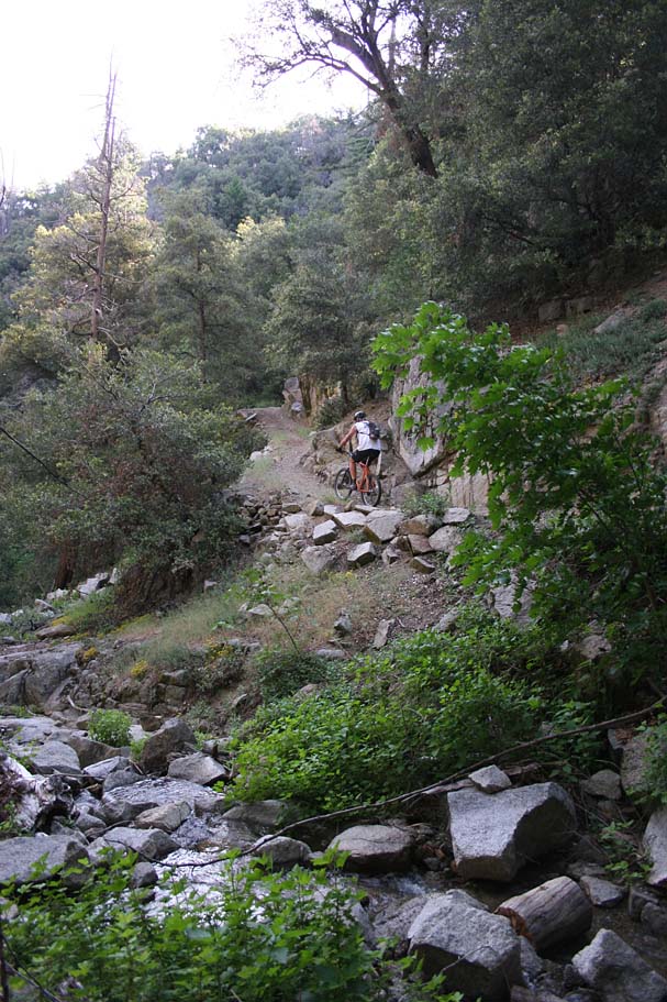
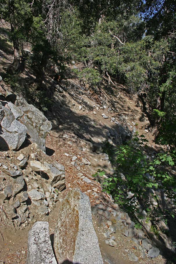
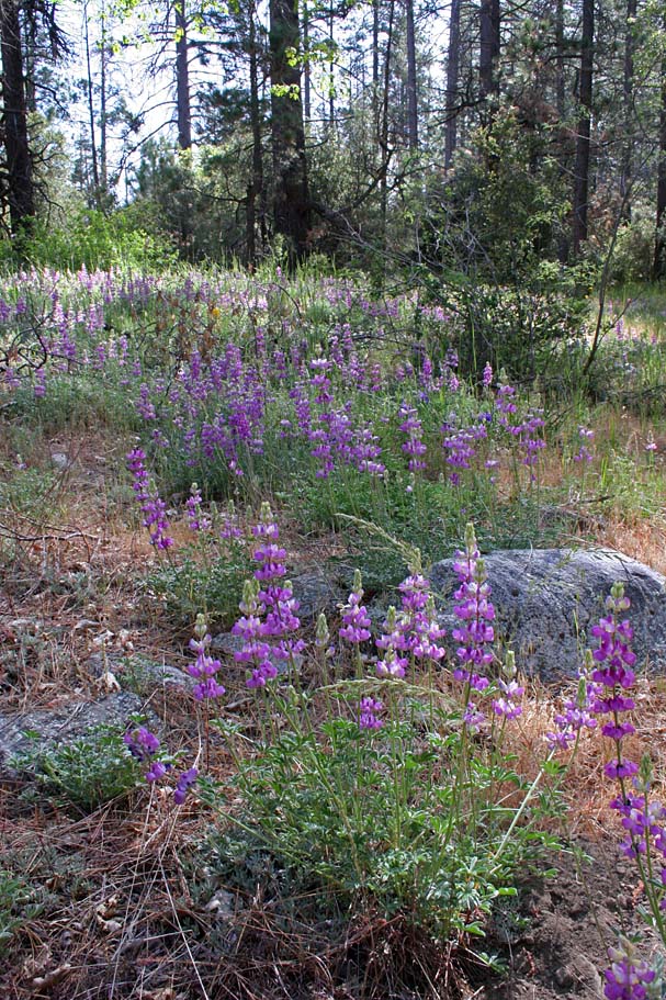
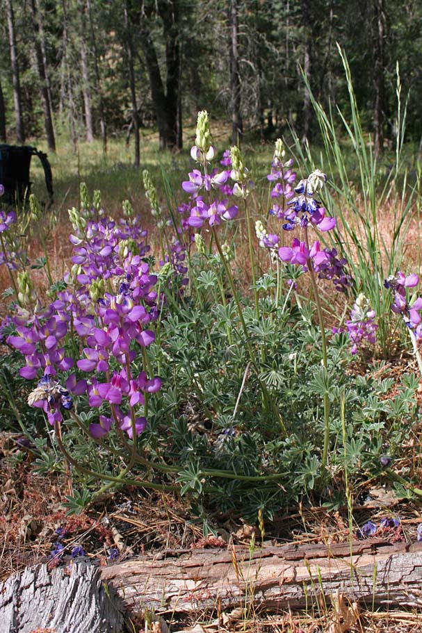
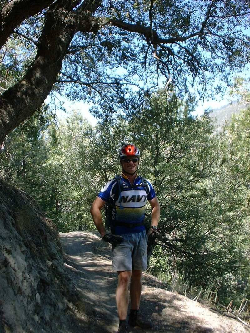
Various Views from along the Santa Ana River Trail (Various ages to these photos as I'm a repent offender of this area) |
       |
    |
    |
|
June 2002 Video
Old Skool helmet camera video of South Fork
Campground back to middle control fire road. (30MB) |
|
May 2007 Video
127MB in size and 10 minutes and 15 second long. |


 This wider section is quite fast and a lot of fun. After 1/2 mile or so of more fun speeding along before you intersect with the middle control fire road (SART-7). Turn left (uphill) and start climbing the fireroad. After one half mile you will pass by where you crossed this fireroad on you way out (SART-3) Continue climbing for a little under two more miles until you reach highway 38 and where you started the ride. You should have about 29 miles under your belt at this point..
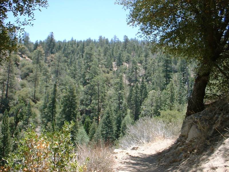


