
Mount Lowe to JPL Shuttle
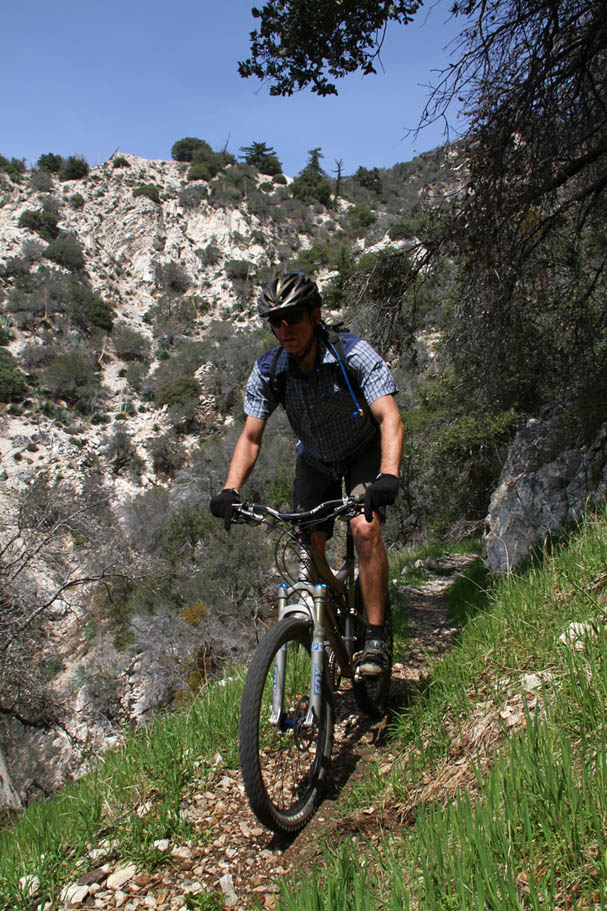
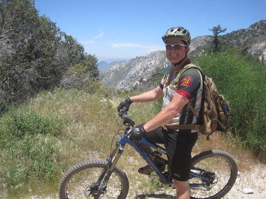
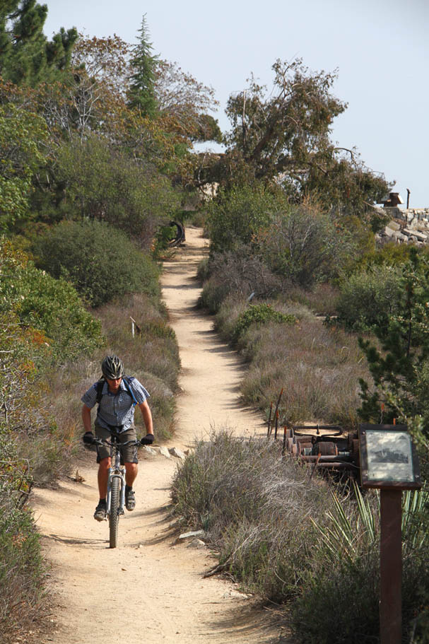
| Located in the San Gabriel Mountains north of the greater Los Angeles area, this route starts near Mount Wilson at 5,113 feet and ends near NASA's Jet Propulsion Labortory in Alta Dena at 1,150 feet. You will get in quite a variety of riding terrain along this route, old roads, a tunnel, scrub brush, oak trees, old railroad tracks, stream crossing and flowing singletrack awesomeness. This ride will certainly put a smile on your face along with a pucker in your rear in a few spots. It strings together a handful of superb trails that will have you shedding off about 5,600 feet of elevation (and climbing over 1,500 feet) over the course of about 12.5 miles. |
  Living in San Diego, this ride is a long way for me to drive, ride and get back home in a single day so I typically will not drive all that way just to do this ride. For the best bang for the drive I like combining this ride with some of the other rides in the Los Angeles National Forest front range like Chilao Flats or the Silver Moccasin Trail, Strawberry Peak, Mt Pacifico, The Perfect Cycling Trail, etc... The concept being you leave a vehicle at the bottom of the route and take the other vehicle up into the mountains and go do a ride. Then instead of driving back down the mountain, drive over to this upper trail head and do this route. I think of it as a shuttle plus ride. This can also be done as loop using Alta Dena surface streets and Mt Lowe Rd but I have not done that loop version.. Living in San Diego, this ride is a long way for me to drive, ride and get back home in a single day so I typically will not drive all that way just to do this ride. For the best bang for the drive I like combining this ride with some of the other rides in the Los Angeles National Forest front range like Chilao Flats or the Silver Moccasin Trail, Strawberry Peak, Mt Pacifico, The Perfect Cycling Trail, etc... The concept being you leave a vehicle at the bottom of the route and take the other vehicle up into the mountains and go do a ride. Then instead of driving back down the mountain, drive over to this upper trail head and do this route. I think of it as a shuttle plus ride. This can also be done as loop using Alta Dena surface streets and Mt Lowe Rd but I have not done that loop version.. |
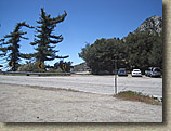 Directions: The lower trail head: From Pasadena on HWY 210 take the Windsor St exit and turn north. Travel 0.8 miles. The trailhead is located just north of the corner of N. Windsor Ave and West Mountain View St. Better yet use the map below and get directions to way point MLJPL-23. From the lower trail head to the upper trail head: Take N Windsor Ave 0.8 miles south back to Hwy-210 and take the west bound on-ramp toward San Fernando. After 2.8 miles take the CA-2/Angeles Crest Hwy exit and turn right. Travel 13.8 miles up into the mountains. Turn right at Red Box onto FS2N24/Mt Wilson/Red Box Rd (paved). Travel to 2.3 miles. At a left bend in the road there is a gravel parking area on both sides of the road. Park here. Directions: The lower trail head: From Pasadena on HWY 210 take the Windsor St exit and turn north. Travel 0.8 miles. The trailhead is located just north of the corner of N. Windsor Ave and West Mountain View St. Better yet use the map below and get directions to way point MLJPL-23. From the lower trail head to the upper trail head: Take N Windsor Ave 0.8 miles south back to Hwy-210 and take the west bound on-ramp toward San Fernando. After 2.8 miles take the CA-2/Angeles Crest Hwy exit and turn right. Travel 13.8 miles up into the mountains. Turn right at Red Box onto FS2N24/Mt Wilson/Red Box Rd (paved). Travel to 2.3 miles. At a left bend in the road there is a gravel parking area on both sides of the road. Park here. |
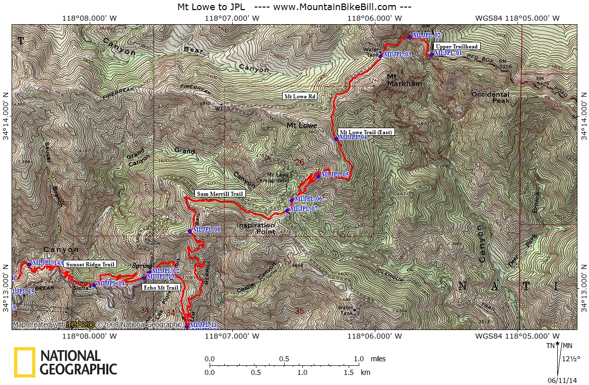
| Maps: The map below uses the KML file for this route. Other formats: GPX TOPO GDB. Here is side 1 and side 2 of a paper map of the area formatted for 8.5" x 14"printing |
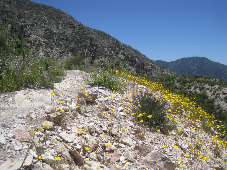
Ride Notes: The description below references GPS way points in the electronic files and map above. For this review my use of the word "technical" refers to what I would call "XC/All-Mountain" or "Wheels on the Ground" technical vice free-riding, hucking and downhill "in-the-air" oriented kind of technical. |
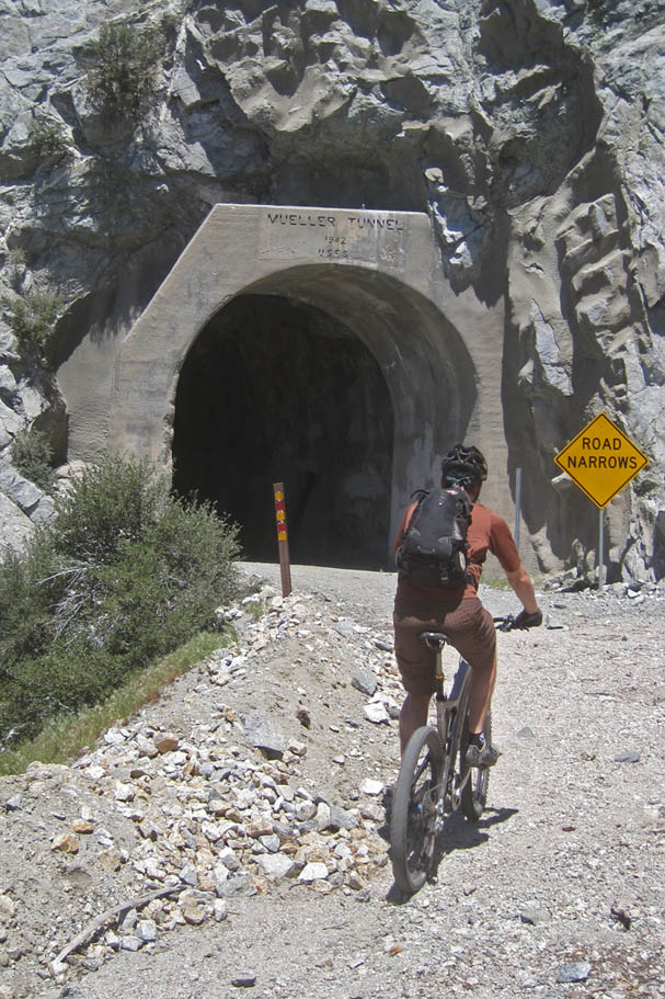
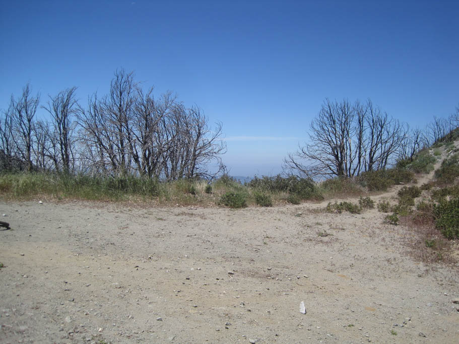
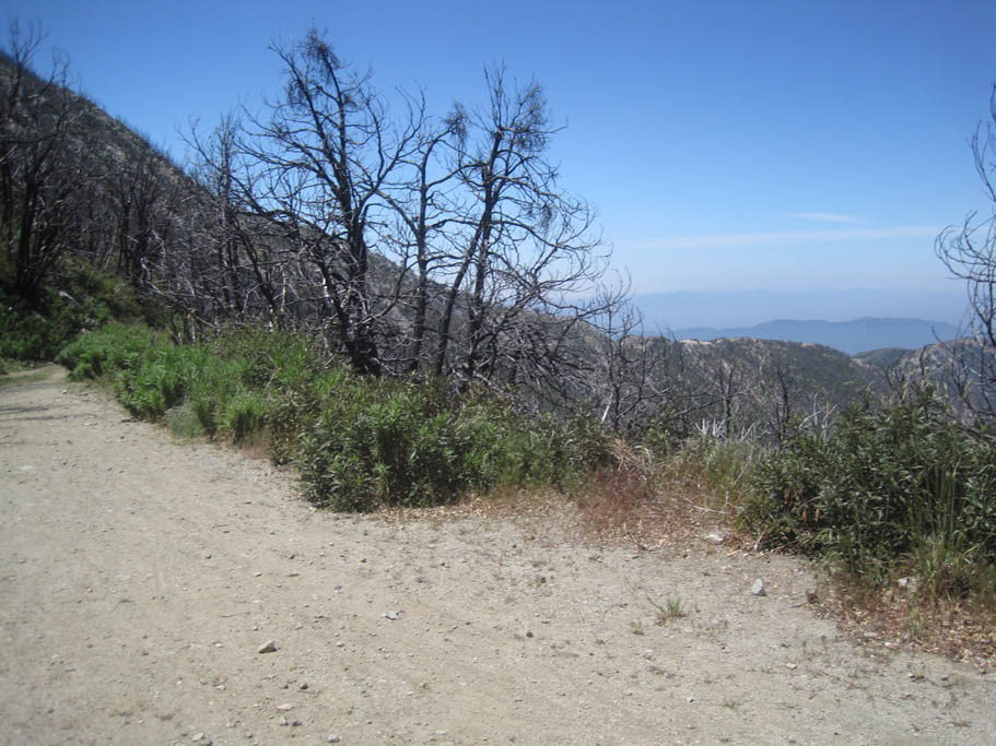
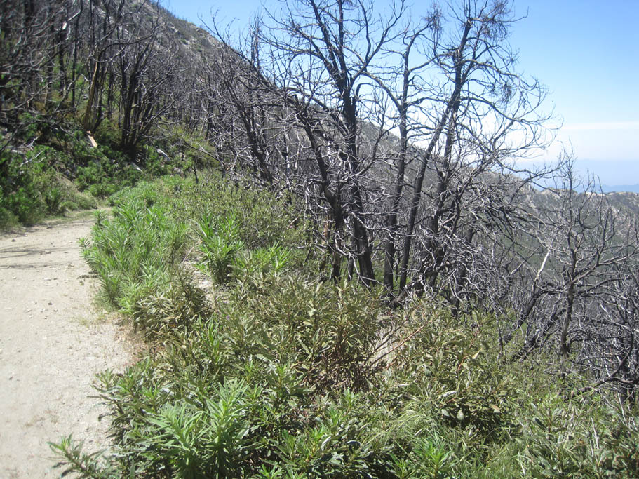
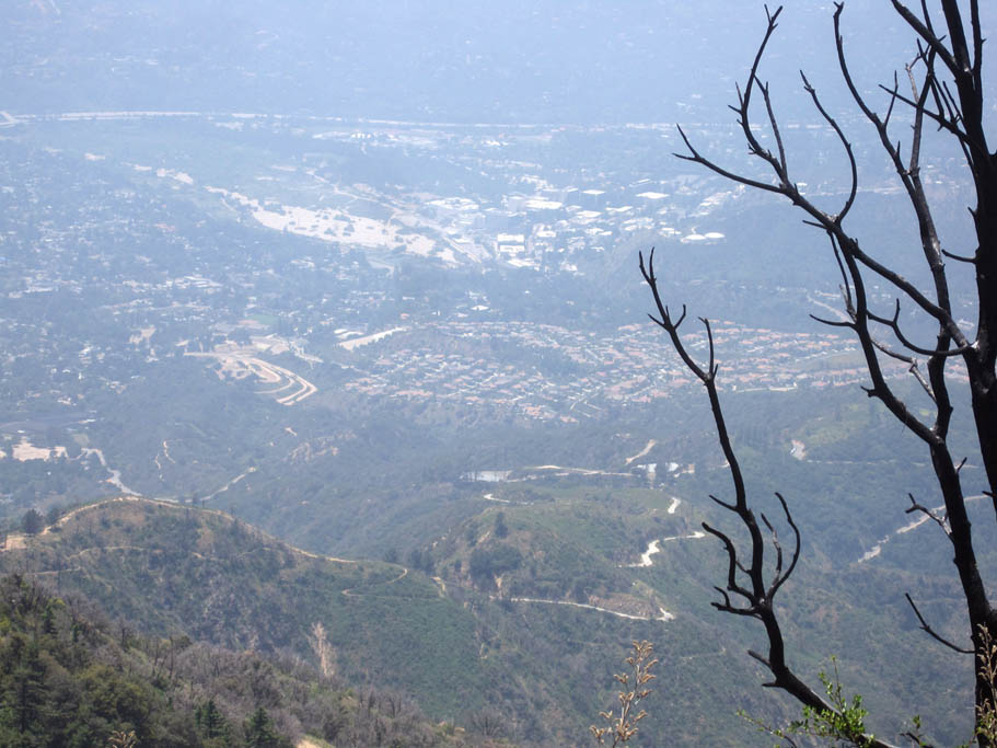
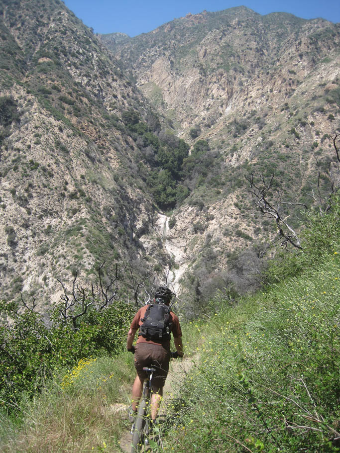
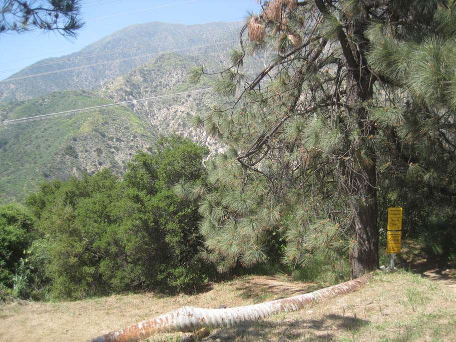
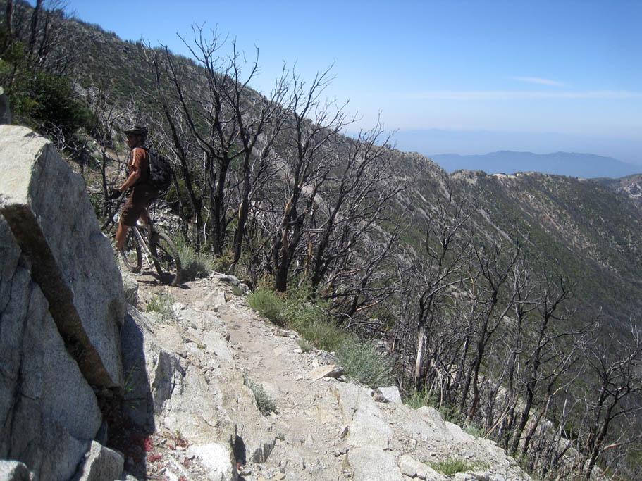
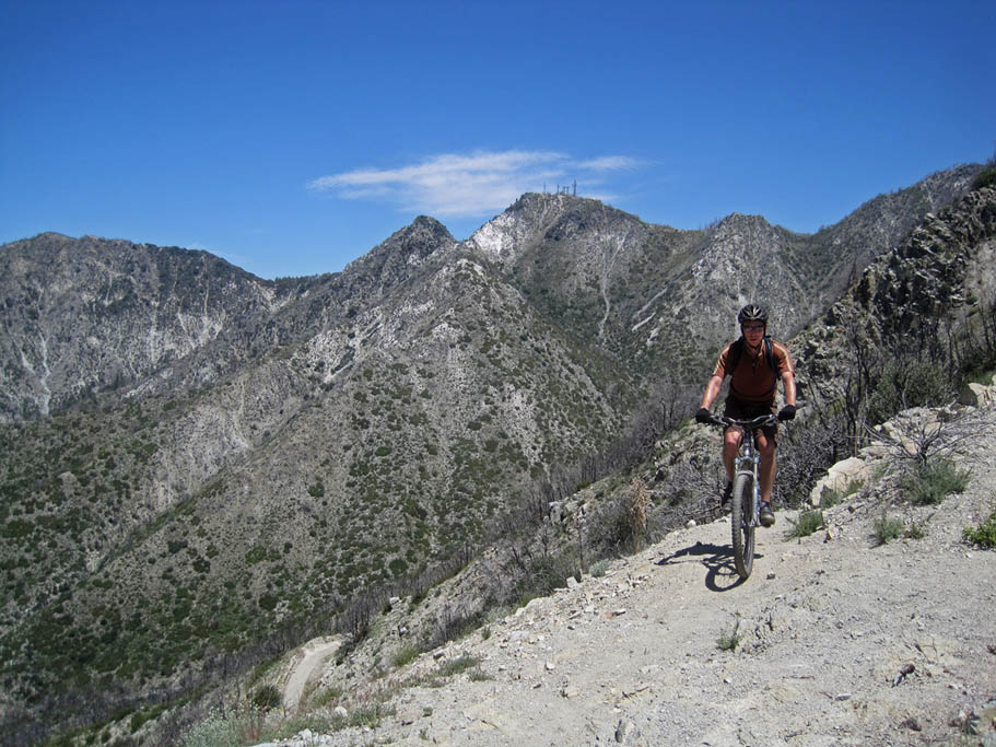
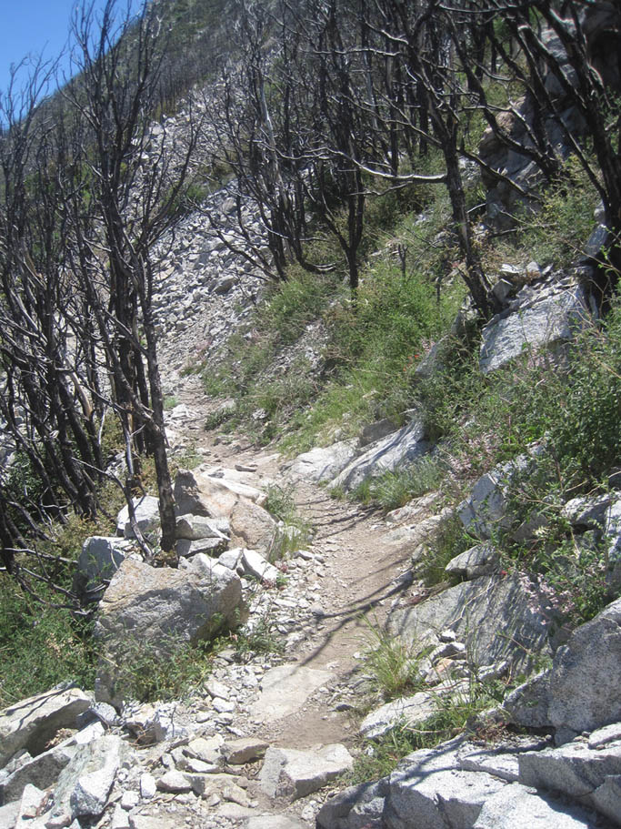
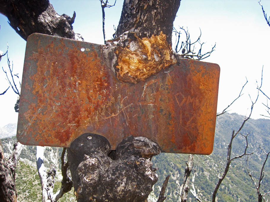
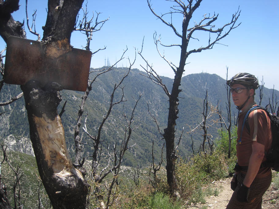
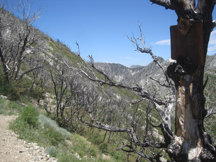
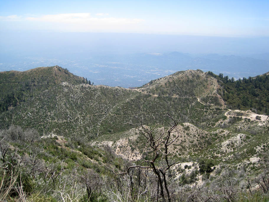
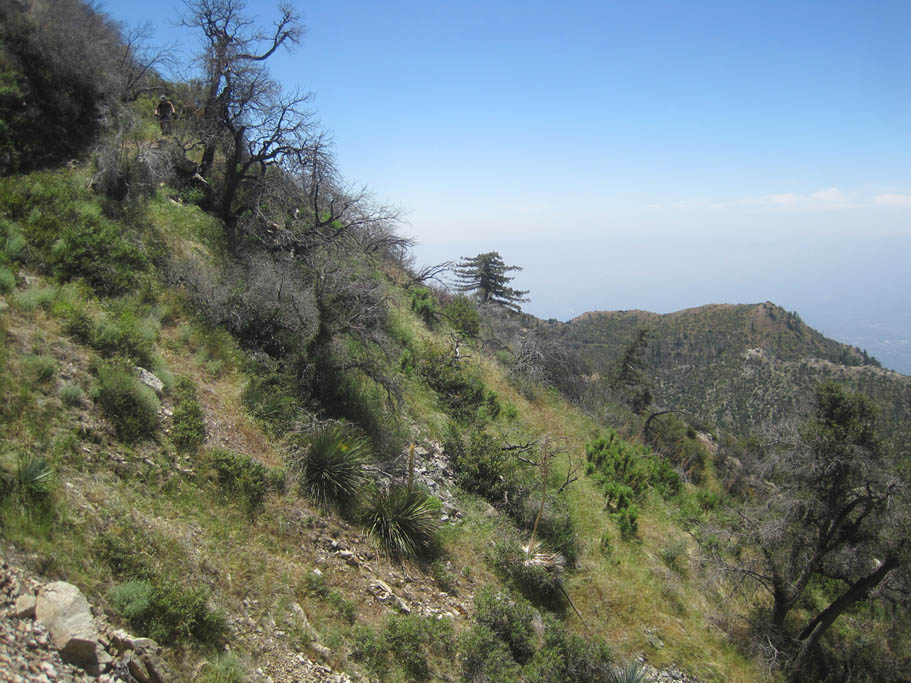
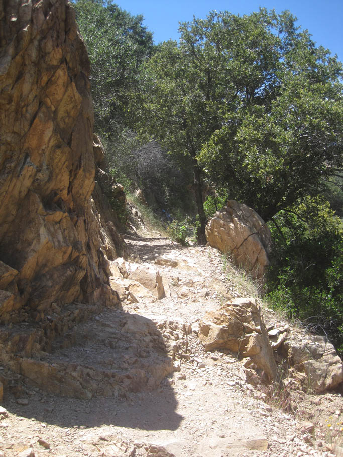
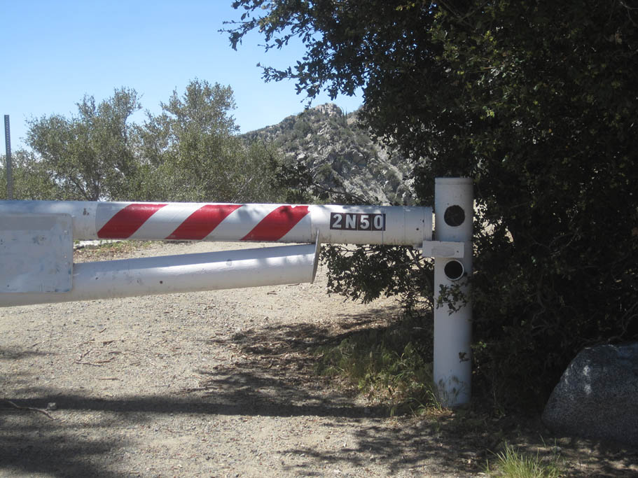 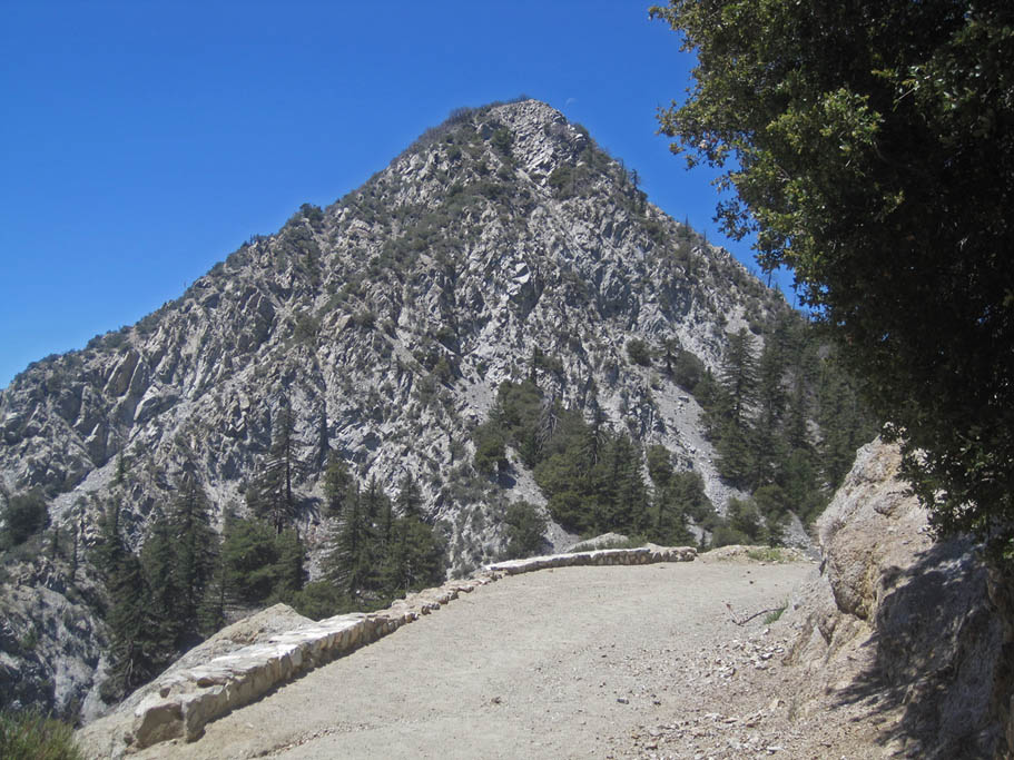 From the upper trail head, (MLJPL-01) go around the gate blocking vehicle access to Mt Lowe Rd (2N50). As soon as you go around the gate Mt Markham is prominently in front of you and an expansive view is to the south. The dirt/fire road winds around to the west-northwest and soon you will pass through Mueller Tunnel at MLJPL-02. Riding through a tunnel is just cool so enjoy the very short tunnel that cuts through a little chunk of San Gabriel peak's southern flank. Continue climbing and at 0.45 miles you will come out onto a saddle (MLJPL-03). The Station Wildfire of 2009 burned over 160,000 arces of the Los Angeles National Forest and the surrounding communites. A good portion of this route is through some of the burned areas. Overall they are recovering well but I wish I would have done this route prior to the fires. From the upper trail head, (MLJPL-01) go around the gate blocking vehicle access to Mt Lowe Rd (2N50). As soon as you go around the gate Mt Markham is prominently in front of you and an expansive view is to the south. The dirt/fire road winds around to the west-northwest and soon you will pass through Mueller Tunnel at MLJPL-02. Riding through a tunnel is just cool so enjoy the very short tunnel that cuts through a little chunk of San Gabriel peak's southern flank. Continue climbing and at 0.45 miles you will come out onto a saddle (MLJPL-03). The Station Wildfire of 2009 burned over 160,000 arces of the Los Angeles National Forest and the surrounding communites. A good portion of this route is through some of the burned areas. Overall they are recovering well but I wish I would have done this route prior to the fires. |
      |
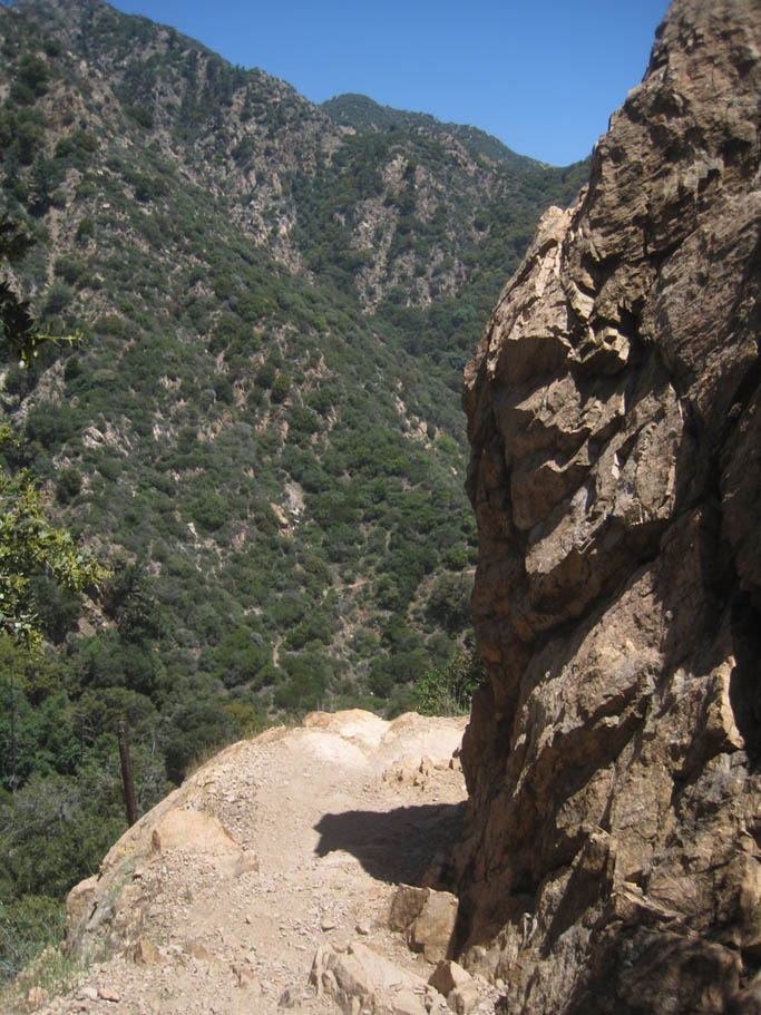
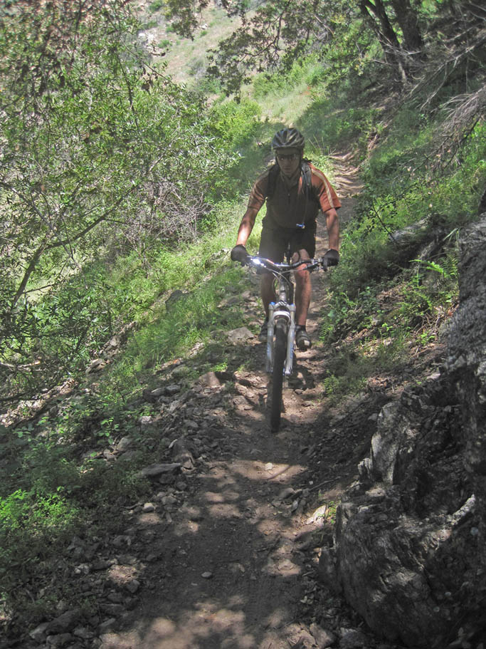
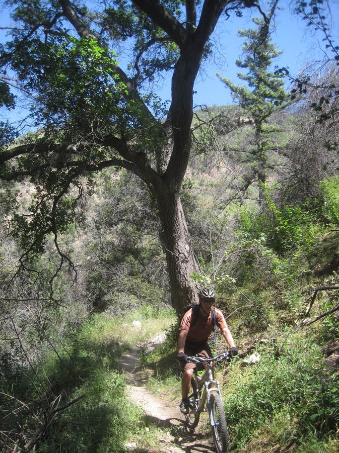
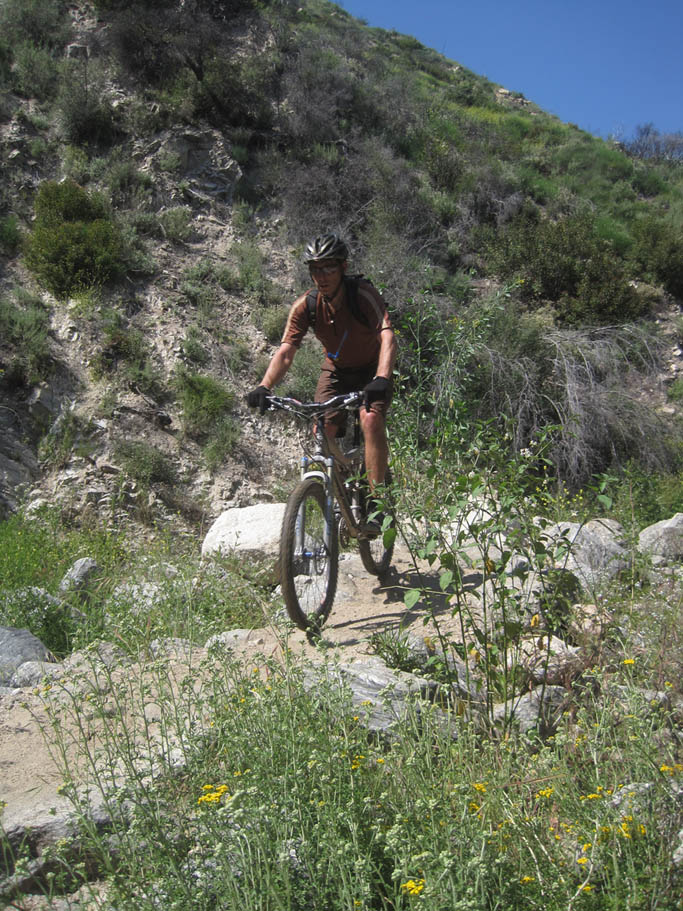
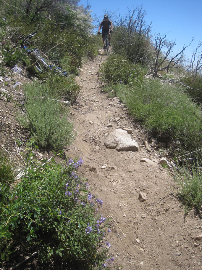
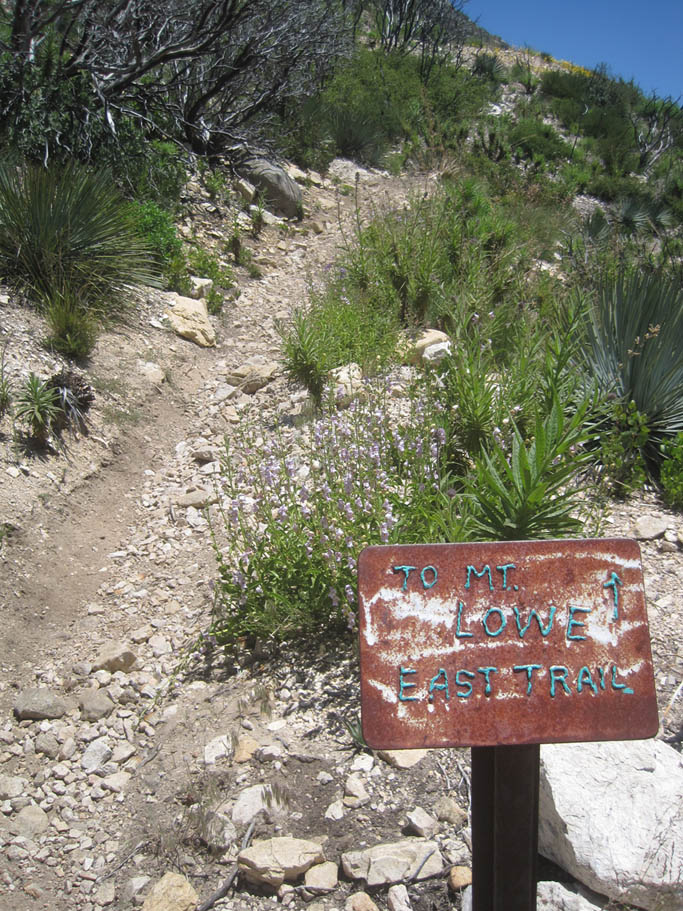
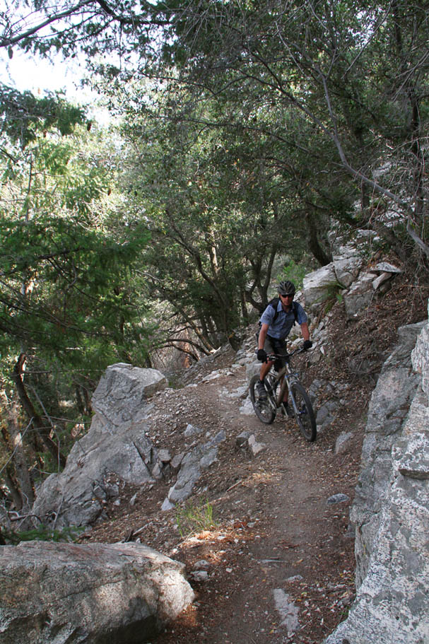
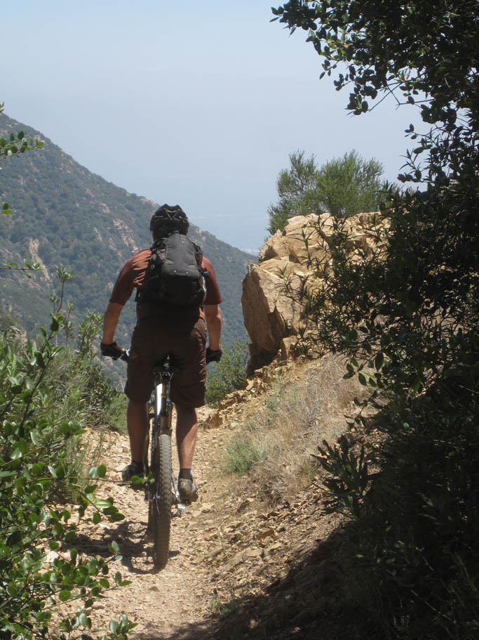
 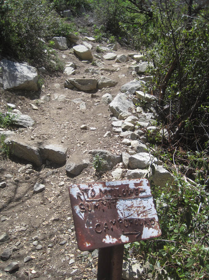 At this saddle Mt Lowe Rd turns downhill, there is a water tank on your right and the Mt Lowe trail is off to your left. Take the Mt Lowe trail. This a nice singletrack that travels southwest along the western flank of Mt Markham. There are some technical bits as well as a couple spots where there is some exposure. The trail soon turns south to travel along the east side of Mt Lowe. The climbing intensifies at this point until you reach the junction of the Mt Lowe summit trail at 1.25 miles (MLJPL-04) which switchbacks sharply to your right and uphill. You will want to continue straight. The trail also turns downhill at this point. Get ready for some serious fun. The next 3/4ths of mile has some nice rocky narrow trail with some tight turns as you shed off about 580 feet. At this saddle Mt Lowe Rd turns downhill, there is a water tank on your right and the Mt Lowe trail is off to your left. Take the Mt Lowe trail. This a nice singletrack that travels southwest along the western flank of Mt Markham. There are some technical bits as well as a couple spots where there is some exposure. The trail soon turns south to travel along the east side of Mt Lowe. The climbing intensifies at this point until you reach the junction of the Mt Lowe summit trail at 1.25 miles (MLJPL-04) which switchbacks sharply to your right and uphill. You will want to continue straight. The trail also turns downhill at this point. Get ready for some serious fun. The next 3/4ths of mile has some nice rocky narrow trail with some tight turns as you shed off about 580 feet. |
|
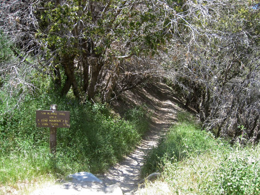
  At MLJPL-05 you will come out to a wider section of trail that has a gnarlier steeper looking section of trail ahead of you. The trail ahead of you is not the original trail but a fall line shortcut of the trail. The original trail switchbacks to the right at this point. You can take either way. The original trail is nice and really skinny and I prefer it to the "new" section that offers some steep technical bits that are more of a function of erosion than good trail design. The shortcut trail rejoins the original trail just before the trail comes out on Mt Lowe Rd (MLJPL-06). Bear to your left and downhill for maybe 200 yards to pick up the Sam Merrill Trail going off to your right (West). This is also known as the Middle Sam Merrill Trail. (The Upper Sam Merrill is the West Mt Lowe Trail which you did not take earlier) At MLJPL-05 you will come out to a wider section of trail that has a gnarlier steeper looking section of trail ahead of you. The trail ahead of you is not the original trail but a fall line shortcut of the trail. The original trail switchbacks to the right at this point. You can take either way. The original trail is nice and really skinny and I prefer it to the "new" section that offers some steep technical bits that are more of a function of erosion than good trail design. The shortcut trail rejoins the original trail just before the trail comes out on Mt Lowe Rd (MLJPL-06). Bear to your left and downhill for maybe 200 yards to pick up the Sam Merrill Trail going off to your right (West). This is also known as the Middle Sam Merrill Trail. (The Upper Sam Merrill is the West Mt Lowe Trail which you did not take earlier) |
|
  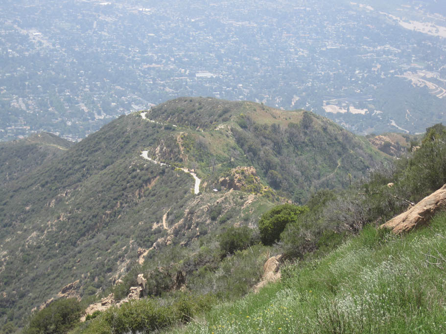   |
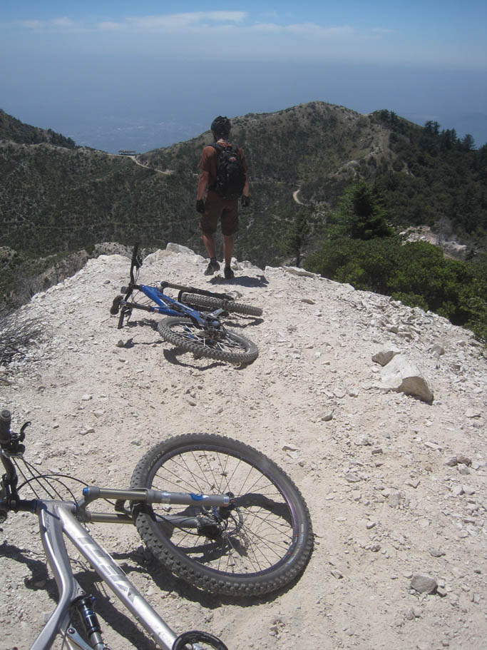
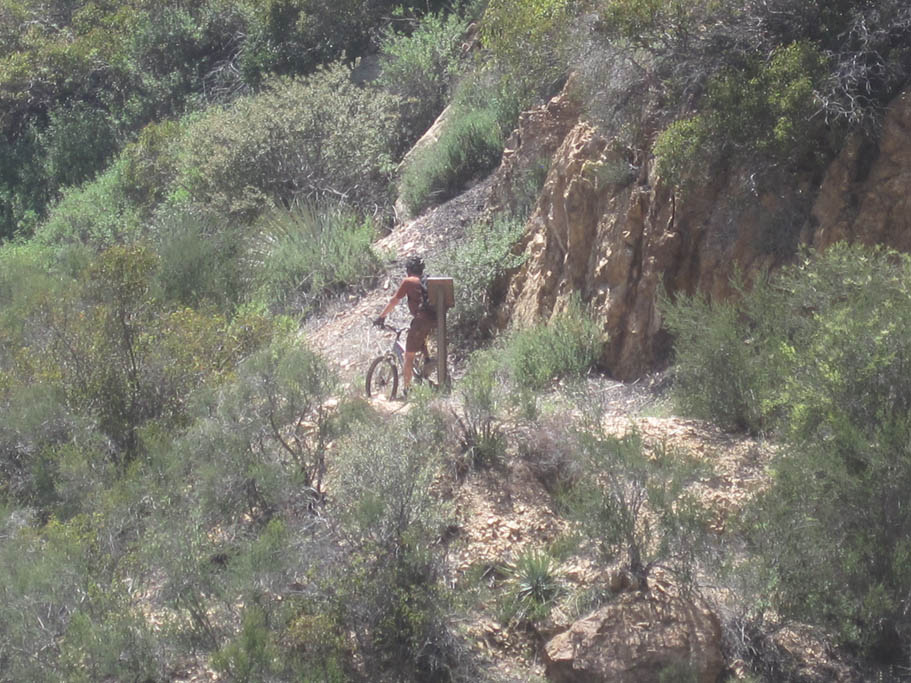
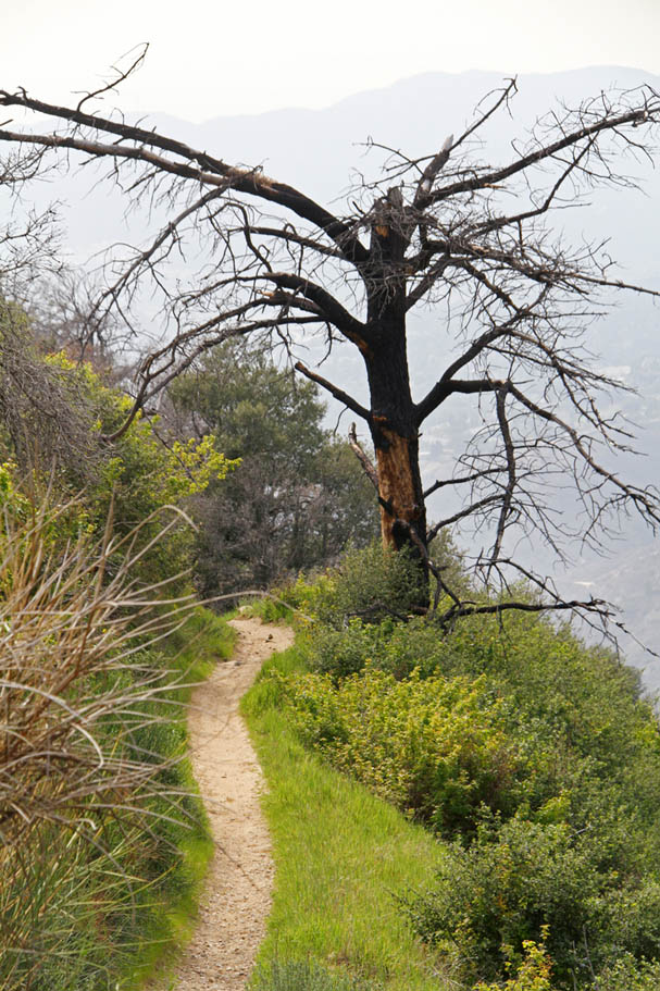
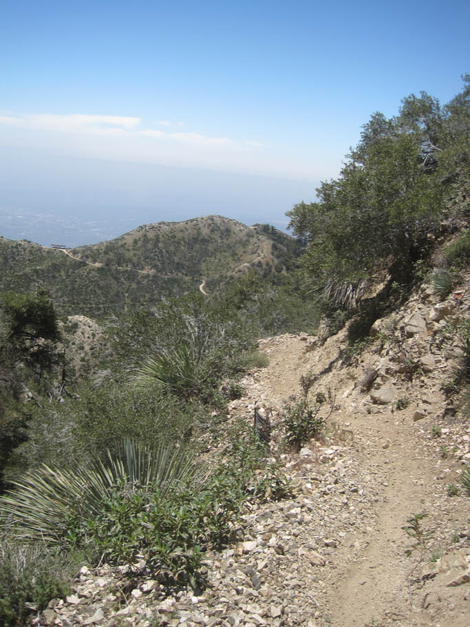
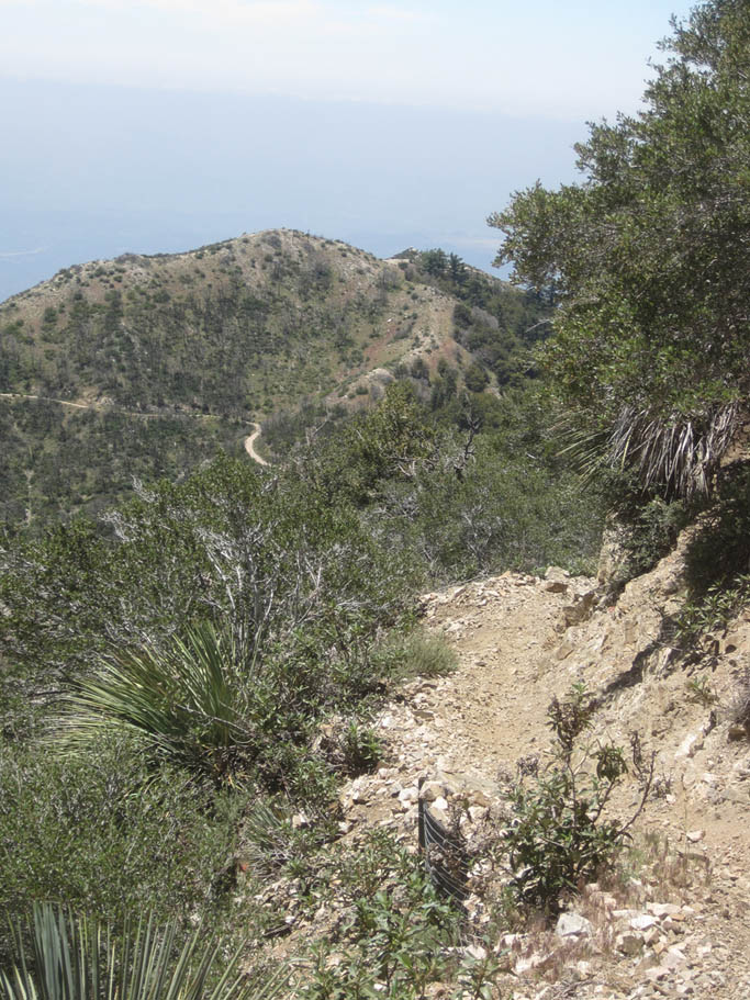
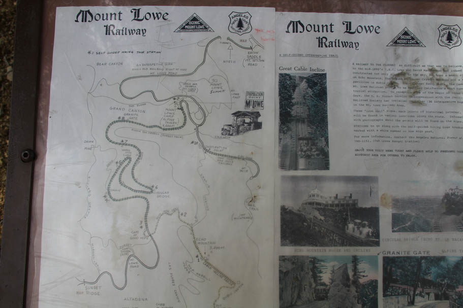
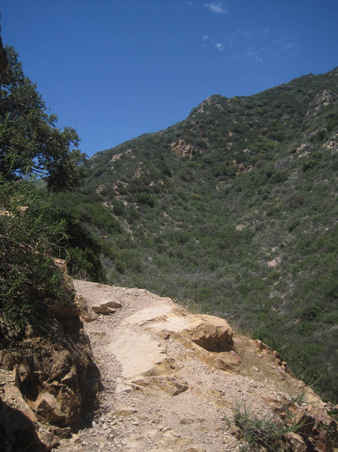
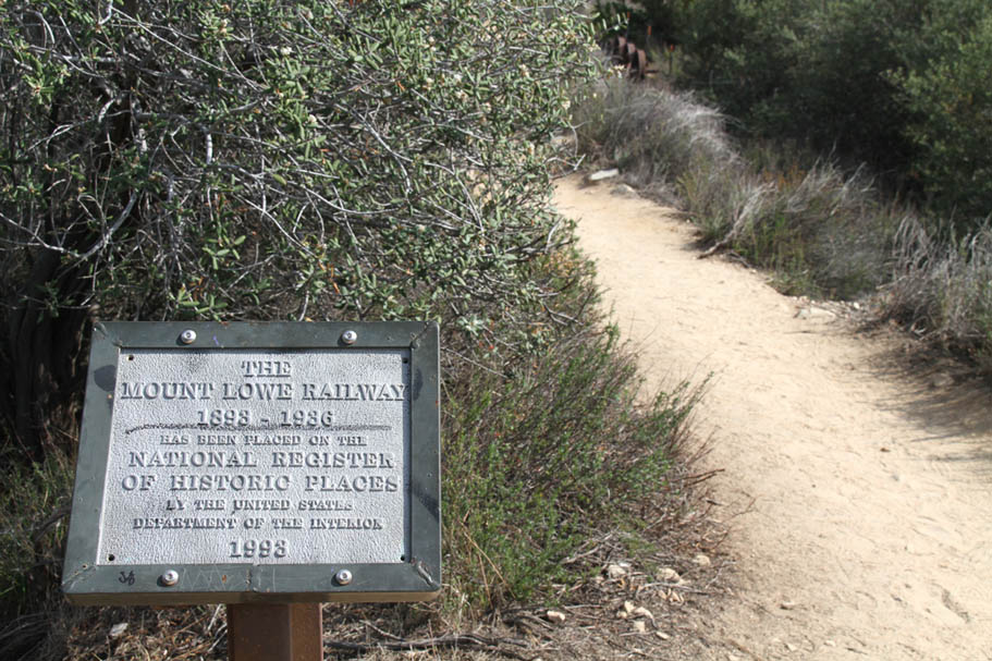
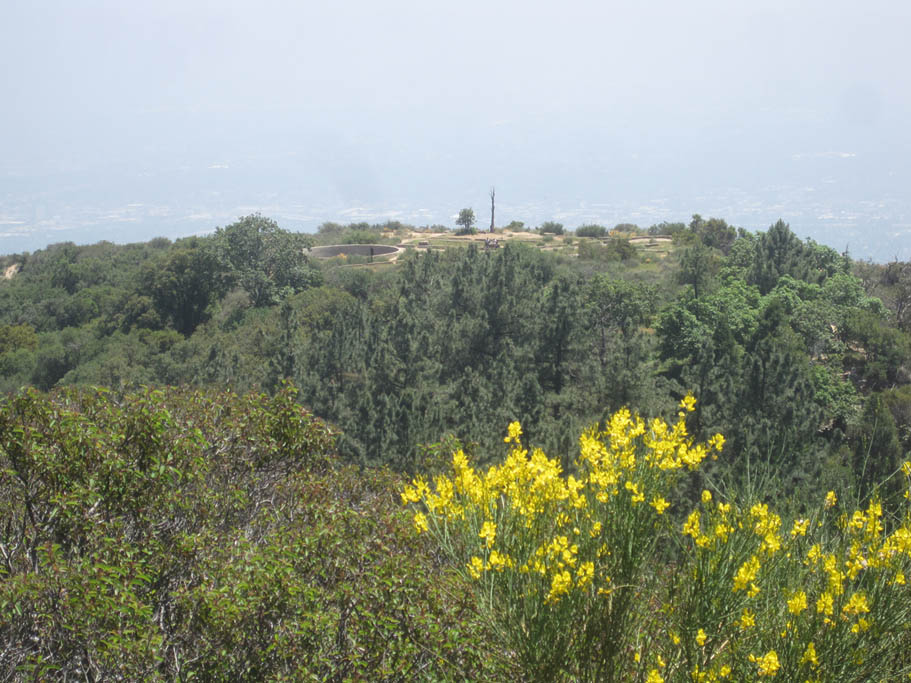
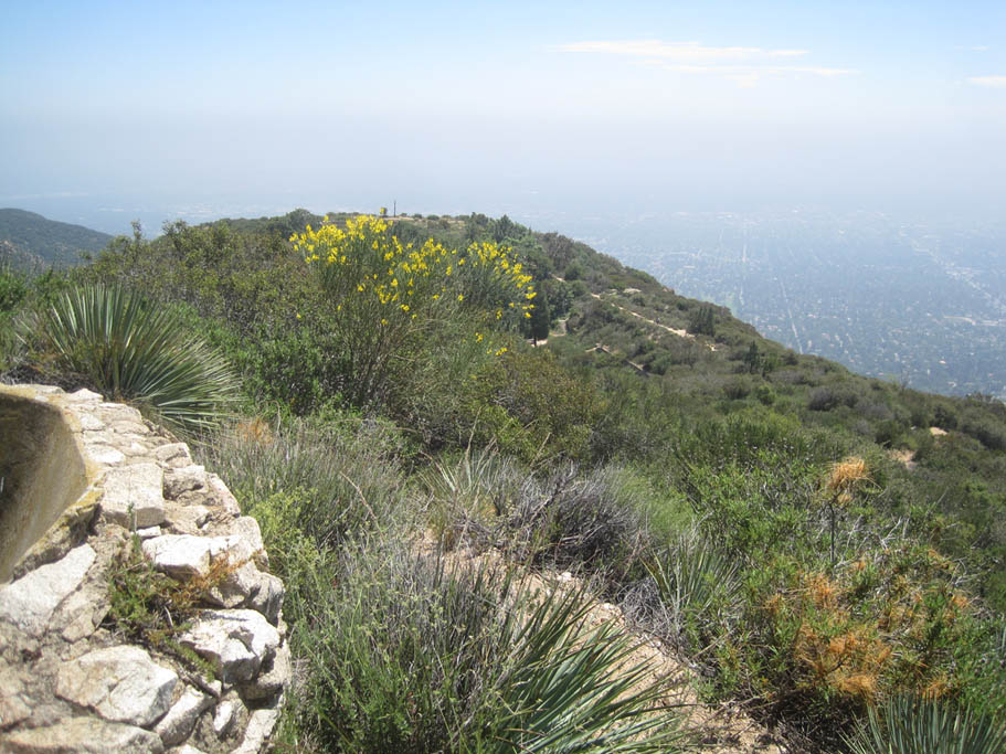
 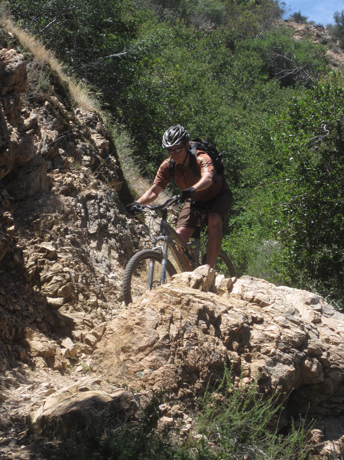 Over the next 1.25 miles you will shed off about 1,000 feet of elevation as you go down to the top of Echo Mountain. The trail here is plenty steep and has some tight rocky switchbacks as well some sections with exposure. I think all riders will feel like they have to be on thier toes through here and most will feel challenged on some of the technical switchbacks. At MLJPL-09 you come to a trail junction with the Echo Mountain Trail. The route is to switchback to your right. But before you do that it is is well worth it to go out to the Echo Mountain point proper. To do this go left (south) and stay along the ridge line. Almost immediately you will pass the junction of the Castle Canyon trail on your left. Keep going and roll out to the point and the ruins of the Echo Mountain House and the Mt Lowe Railway. Over the next 1.25 miles you will shed off about 1,000 feet of elevation as you go down to the top of Echo Mountain. The trail here is plenty steep and has some tight rocky switchbacks as well some sections with exposure. I think all riders will feel like they have to be on thier toes through here and most will feel challenged on some of the technical switchbacks. At MLJPL-09 you come to a trail junction with the Echo Mountain Trail. The route is to switchback to your right. But before you do that it is is well worth it to go out to the Echo Mountain point proper. To do this go left (south) and stay along the ridge line. Almost immediately you will pass the junction of the Castle Canyon trail on your left. Keep going and roll out to the point and the ruins of the Echo Mountain House and the Mt Lowe Railway. |
|
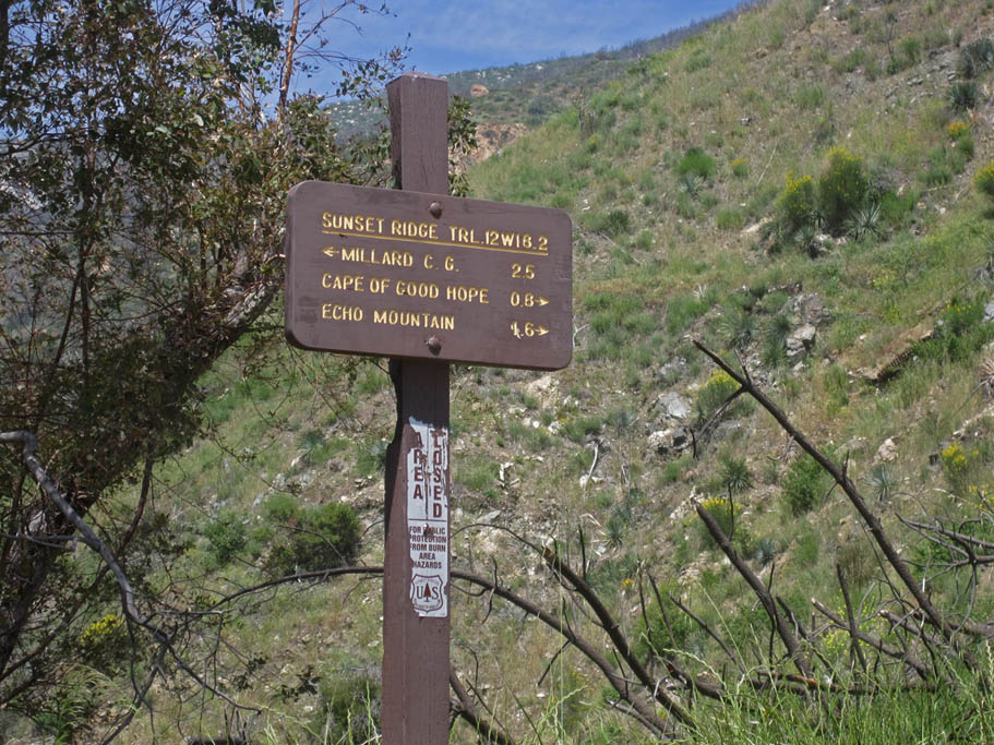
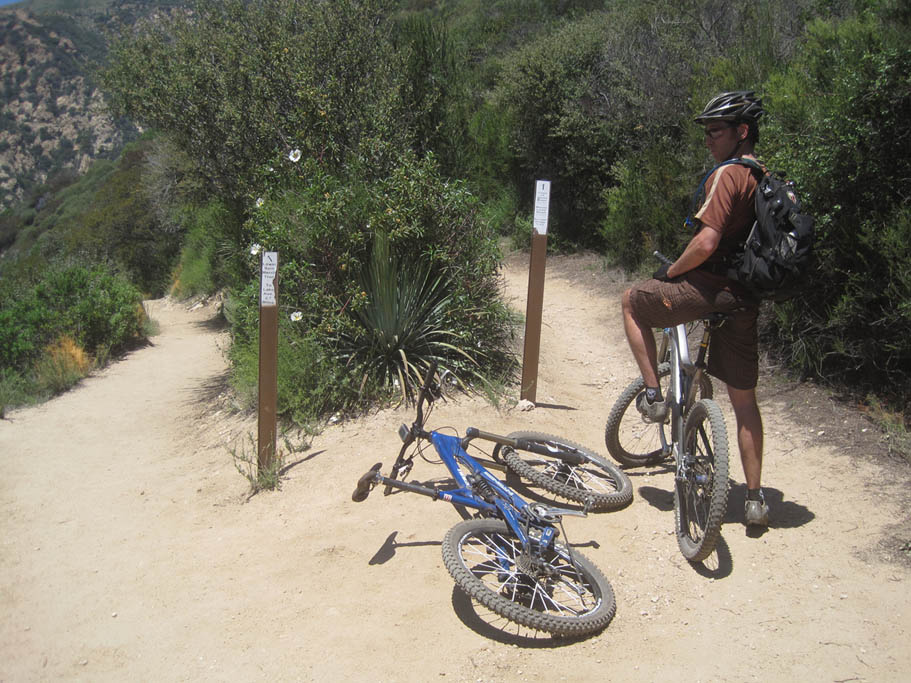  After you have gotten your feel of the area head back north along the ridgeline on the Echo Mountain Trail. Coming back north from the ruins, don't take the Castle Canyon trail going off to your right at the first junction and don't take Middle Sam Merrill Trail (trail sign just says Sam Merrill. Its the trail you came down) on your right at the next junction. About 30 to 40 yards further down the trail, there will be another fork where the Lower Sam Merrill trail goes off to the left (and downhill). Stay to the right here following the sign that points to Cape of Good Hope, Mt Lowe Road and Sunset Ridge. After you have gotten your feel of the area head back north along the ridgeline on the Echo Mountain Trail. Coming back north from the ruins, don't take the Castle Canyon trail going off to your right at the first junction and don't take Middle Sam Merrill Trail (trail sign just says Sam Merrill. Its the trail you came down) on your right at the next junction. About 30 to 40 yards further down the trail, there will be another fork where the Lower Sam Merrill trail goes off to the left (and downhill). Stay to the right here following the sign that points to Cape of Good Hope, Mt Lowe Road and Sunset Ridge. |
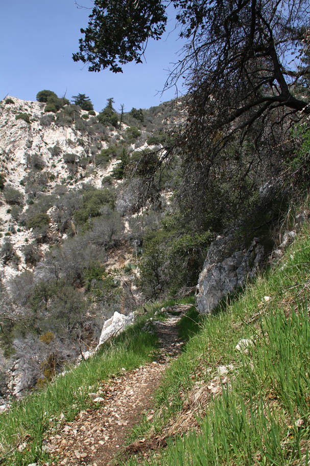
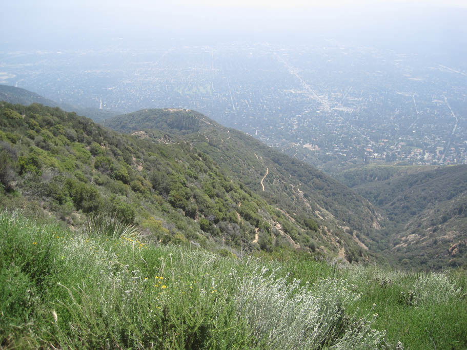
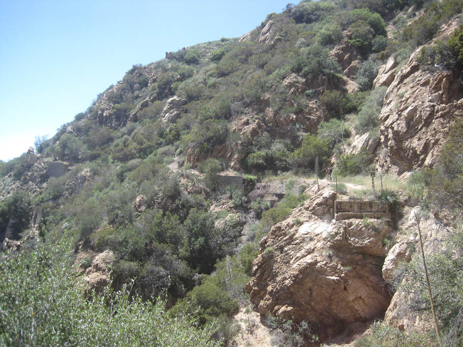
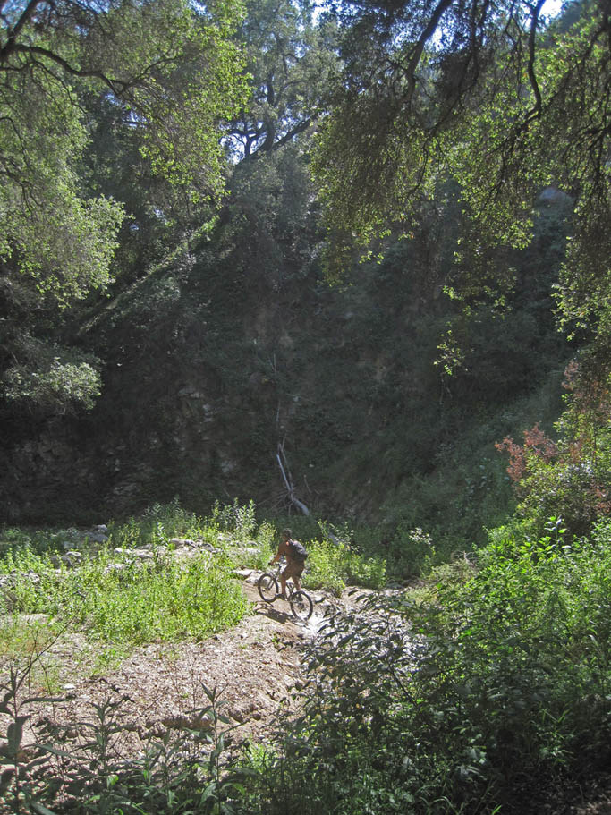
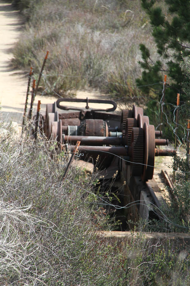
 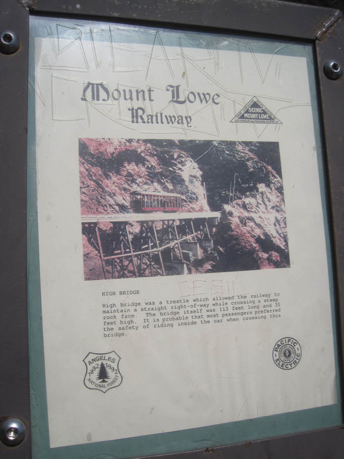 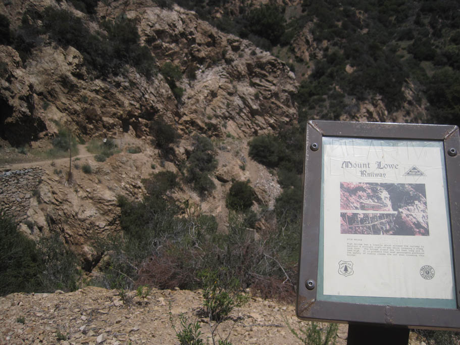 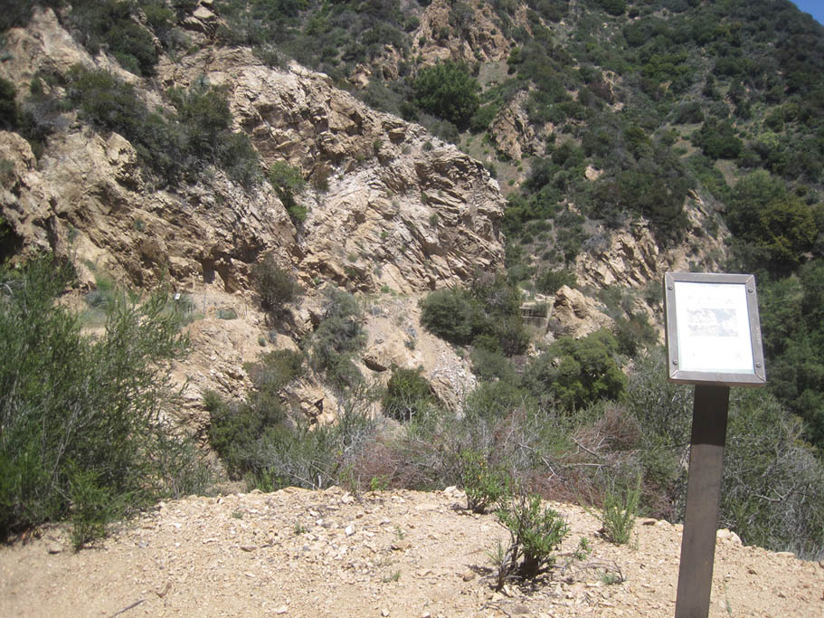  The Echo Mountain trail over the next 3/4th of mile does some gradual climbing on the old Mt Lowe Railway track bed. There were a couple trestles along this route back in the day and the foundations of those can be seen. This must have been a quite a train ride back in the 1800s. |
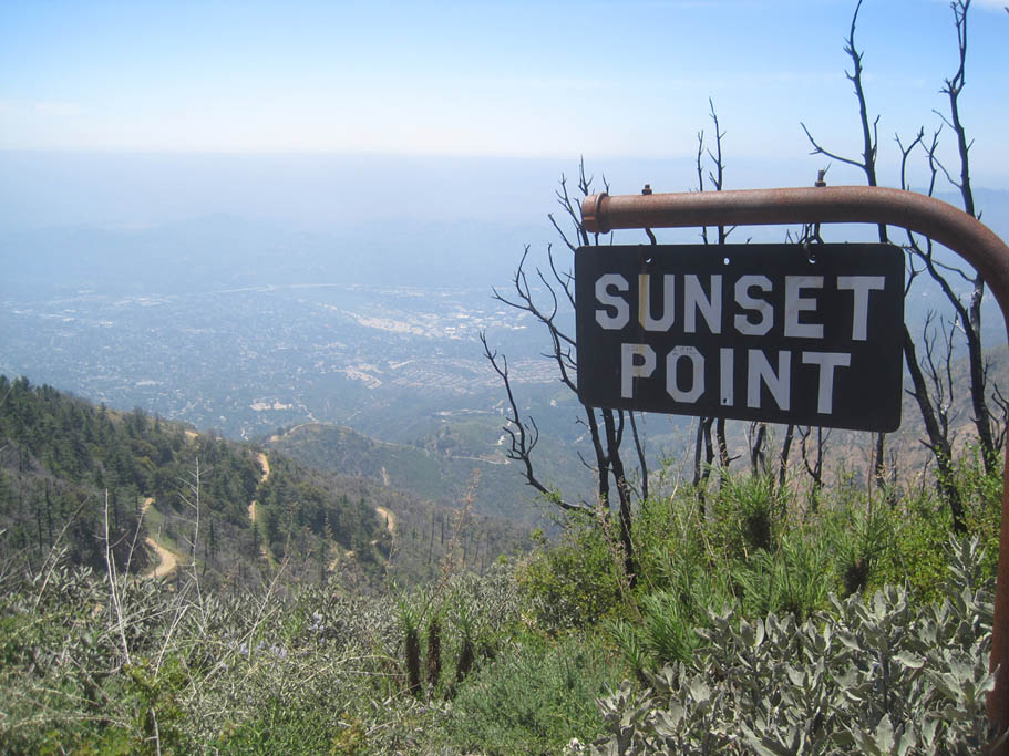
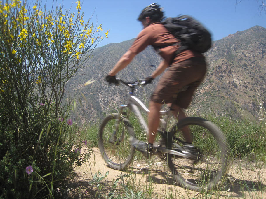
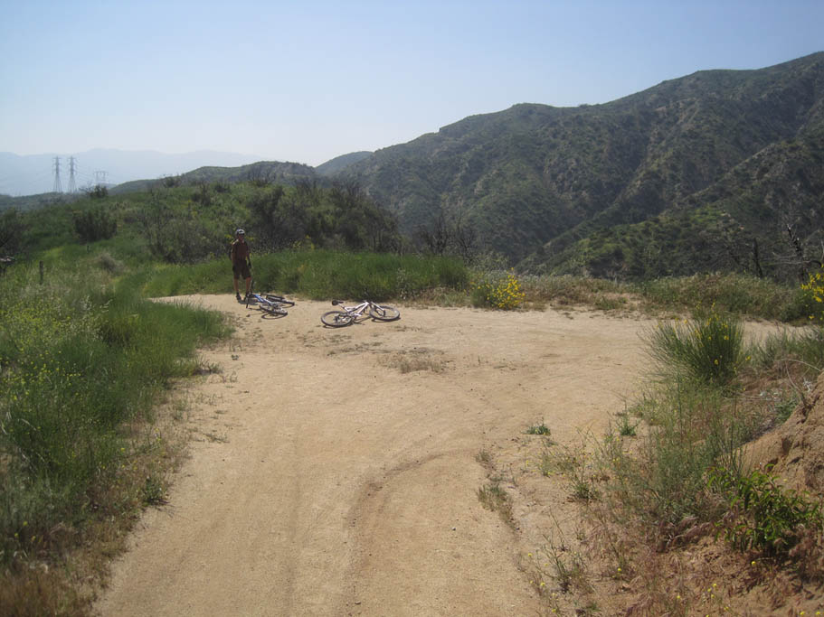
  The Echo Mountain trail comes out onto Mt Lowe Road (MLJPL-12) which is paved at this point. Bear to the left and downhill to connect to the Sunset Trail about 100 yards down the road on the right. Get ready for some more serious fun as the Sunset Ridge Trail is fast and flowing between its switchbacks. Over the next 1.8 miles you are going cash out about 1,200 feet of elevation. About 8/10th of a mile down the trail (MLJPL-14) the trail swings right beside a paved road at Sierra Camp. While there is a cut over trail to that road the main trail immediately curves away from the road and continues on with the downhill goodness. The main trail is quite obvious. Beyond this point the switchbacks are more prevalent but you should still be grinning from ear-to-ear. The Echo Mountain trail comes out onto Mt Lowe Road (MLJPL-12) which is paved at this point. Bear to the left and downhill to connect to the Sunset Trail about 100 yards down the road on the right. Get ready for some more serious fun as the Sunset Ridge Trail is fast and flowing between its switchbacks. Over the next 1.8 miles you are going cash out about 1,200 feet of elevation. About 8/10th of a mile down the trail (MLJPL-14) the trail swings right beside a paved road at Sierra Camp. While there is a cut over trail to that road the main trail immediately curves away from the road and continues on with the downhill goodness. The main trail is quite obvious. Beyond this point the switchbacks are more prevalent but you should still be grinning from ear-to-ear. |
       |
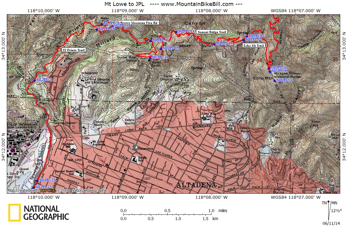
  At MLJPL-14A there is a trail junction going off to your right that leads to a cabin. Beyond this point the trail flattens out and widens for the next half mile until it comes out onto Mt Lowe Rd. Keep riding in the direction you were going when the trail came out onto the road (south). At MLJPL-16 the Sunset Ridge trail goes off to the right (north). There is a trail registration box on the south side of the road near hear. If you go past the paved road on your left or the water tower on your left you have gone too far. At MLJPL-14A there is a trail junction going off to your right that leads to a cabin. Beyond this point the trail flattens out and widens for the next half mile until it comes out onto Mt Lowe Rd. Keep riding in the direction you were going when the trail came out onto the road (south). At MLJPL-16 the Sunset Ridge trail goes off to the right (north). There is a trail registration box on the south side of the road near hear. If you go past the paved road on your left or the water tower on your left you have gone too far. |
    |
| Gettng off of Mt Lowe Road and back onto the trail enjoy another 6/10ths of a mile of downhill singletrack goodness. The trail will roll out onto a paved road in Millard Campground (MLJPL-17). Continue in the direction your bike was pointed when you came off the trail (West-Northwest). After about 100 yards or so of riding through the campground a dirt fireroad (Brown Mountain Truck Trail 2N65) will make a sharp turn to the left (south) and go uphill. |
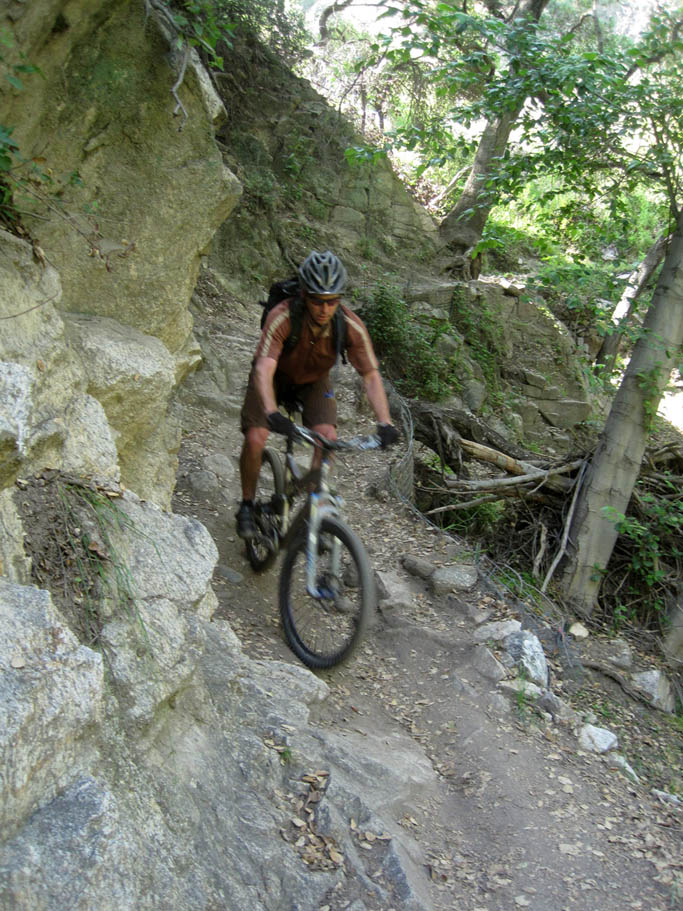
  This uphill is not bad but for some reason after all the stupidly awesome downhill goodness you been enjoying it just seems steeper and longer than the 350 feet of elevation gain over 6/10th of a mile should convey. Once this section of Brown Mountain Truck Trail tops out (MLJPL-18) you will descend for 1/4th of a mile to a fire road intersection (MLJP-19). Bear hard to your right and head east. Over the next 1/4th of a mile the fireroad will go northeast, then switch back to the west as it crosses a small stream. A couple hundred yards past this stream crossing the El Prieto Canyon Trail goes off to your left (MLJPL-20). This uphill is not bad but for some reason after all the stupidly awesome downhill goodness you been enjoying it just seems steeper and longer than the 350 feet of elevation gain over 6/10th of a mile should convey. Once this section of Brown Mountain Truck Trail tops out (MLJPL-18) you will descend for 1/4th of a mile to a fire road intersection (MLJP-19). Bear hard to your right and head east. Over the next 1/4th of a mile the fireroad will go northeast, then switch back to the west as it crosses a small stream. A couple hundred yards past this stream crossing the El Prieto Canyon Trail goes off to your left (MLJPL-20). |
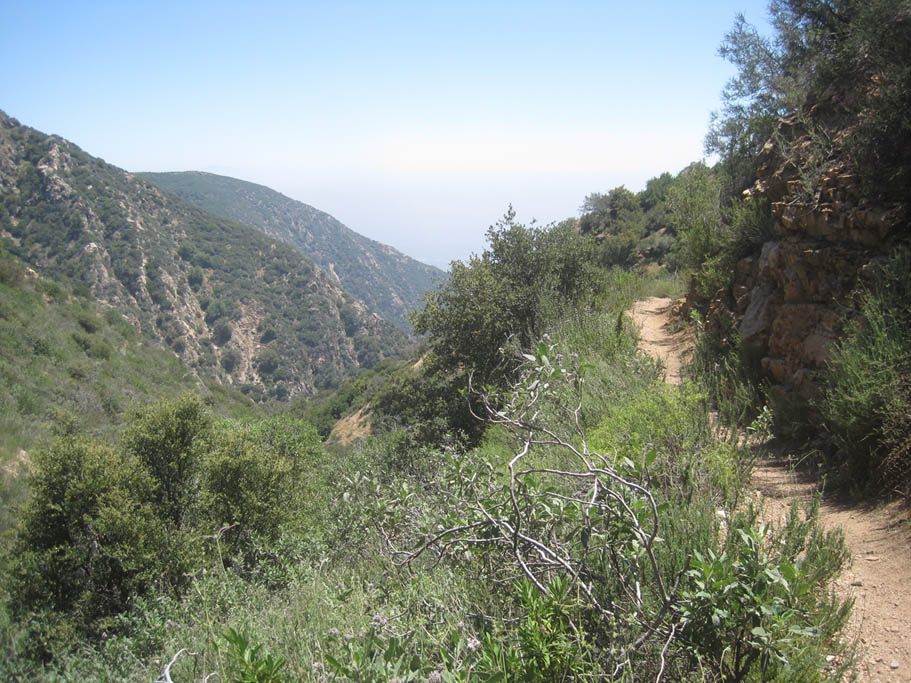
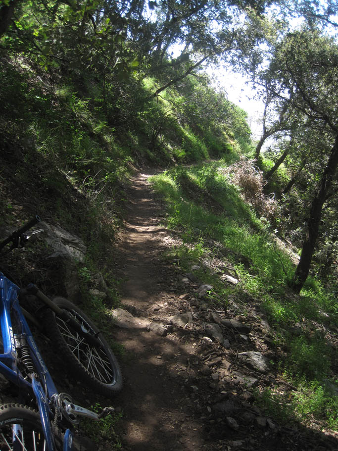
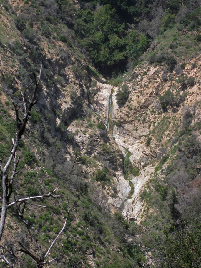
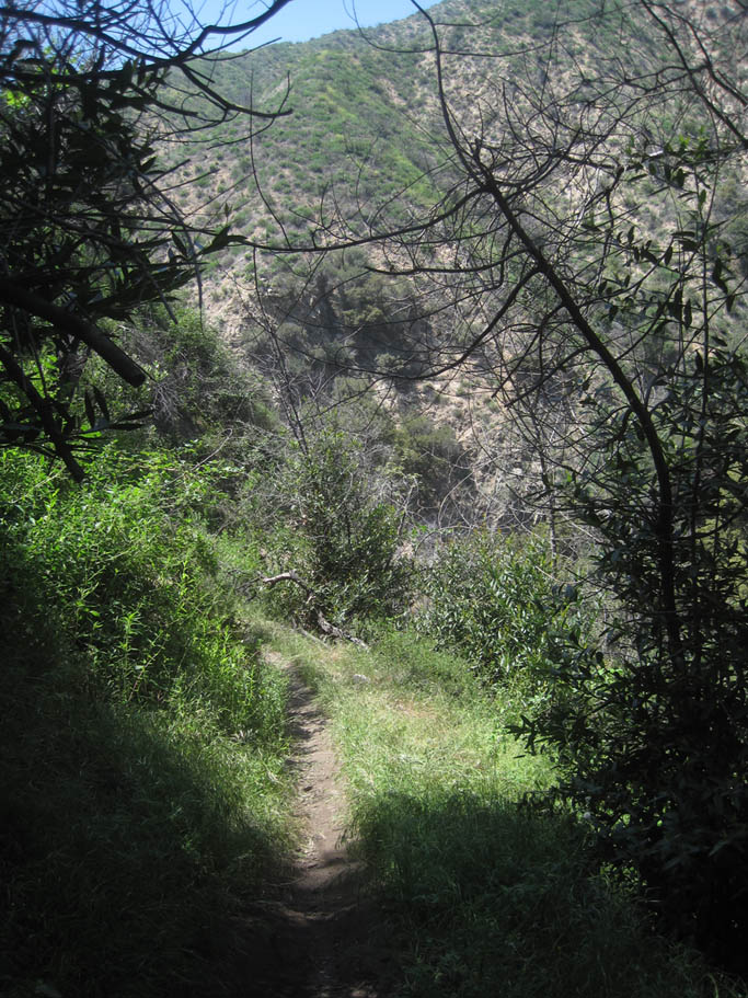
| This is a great trail that has plenty of technical descent bits that includes tight switchbacks, creek crossings and and twisty goodness. It is for the most part shaded for nearly its entire 1.6 mile length. There are couple splits in the trail that feed back together. There are also a couple of splits off of the trail that appears to be feeder trails coming down into the canyon. Following the downhill flow should keep you going in the right direction. |
    |
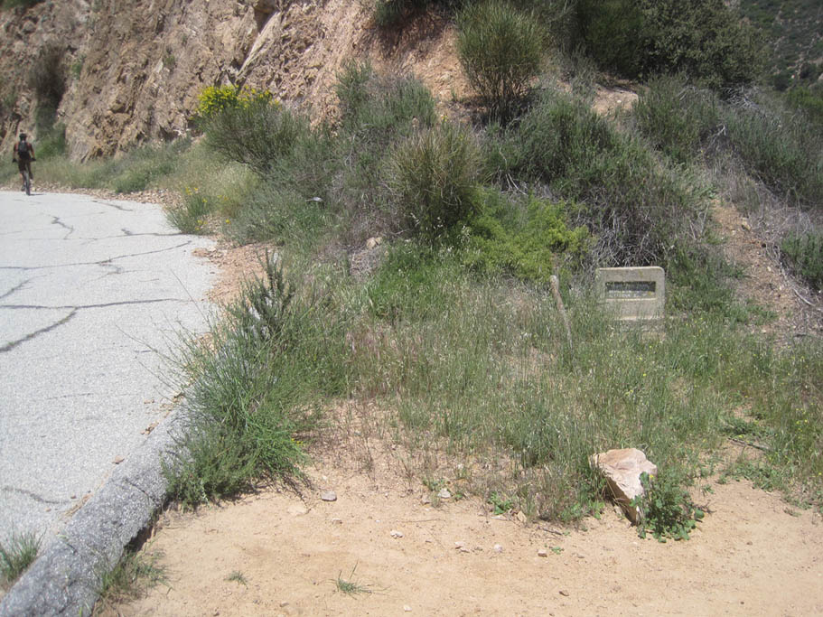
 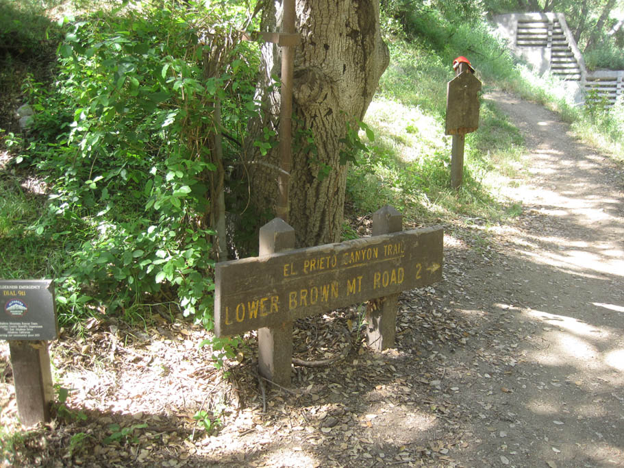 The El Prieto trail will come out at the apex of a turn in the Fern Truck Trail (MLJPL-21). Stay to your left and keep going downhill. You will soon come to the junction with another old road, bear to your left and keep rolling downhill. Over the next 1.25 mile you will roll back into civilization with the NASA Jet Propulsion Laboratory complex across the arroyo to your right and the backyards of homes on your left. At MLJPL-22 you out to the intersection with North Windsor St. The lower trail head is just ahead. The El Prieto trail will come out at the apex of a turn in the Fern Truck Trail (MLJPL-21). Stay to your left and keep going downhill. You will soon come to the junction with another old road, bear to your left and keep rolling downhill. Over the next 1.25 mile you will roll back into civilization with the NASA Jet Propulsion Laboratory complex across the arroyo to your right and the backyards of homes on your left. At MLJPL-22 you out to the intersection with North Windsor St. The lower trail head is just ahead. |

