
Lake Hodges - South Side
The south side of Lake Hodges is a great place to take a beginner and an intermediate rider will find some descent riding. There is quite a bit of singletrack out here with most of it being buff. As you head towards the dam along the lake you find some technical features although only a few spots comes close to getting to the advanced level. Also see the North Lake Hodges trail description as well. This is not a ride you make a road trip for but it is worth a look if you are in the area
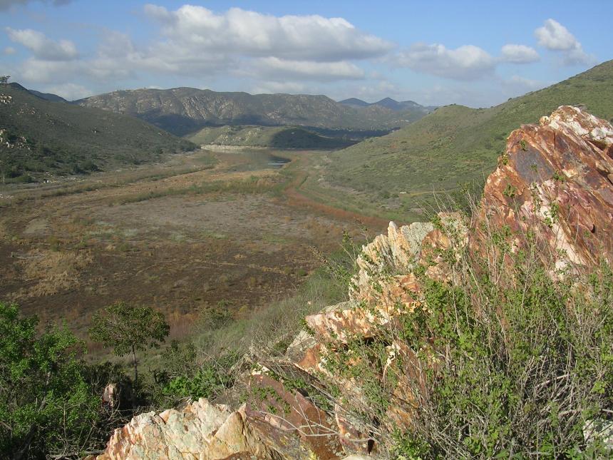
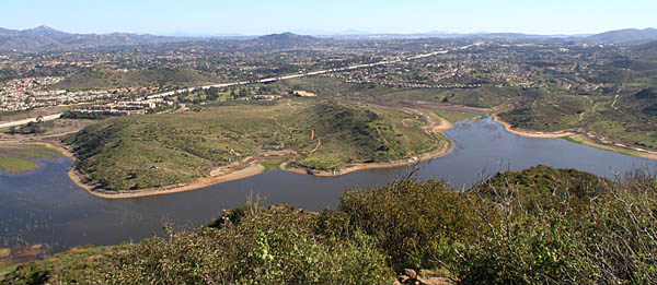 The view of the bulk of the south side riding area from the peak of Benardo Mountain
 South Side, Highland and Raptor Ridge (20mi, 1,100'▲)
North and South Side Loops (16mi, 1,000'▲)
South Side and Bernardo Mountain (15.6mi, 1,420'▲)

- Sikes Adobe - Northside Self Storage

- South Side Staging Area
- Boat Ramp Entrance (West end of lake)
I have been riding Lake Hodges for decades and my North and Side side pages were some of the first on my site. In 2009 a 990 foot long, 12' wide bike and pedestrain bridge located 1,000 feet west of I-15 was completed linking these two areas together. I'm keeping the two pages seperate as both are still good independent rides but they are easily comingled and my current suggested routes reflect that.
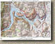
Ride information: (Points referred to in the description are only on my PDF map.)
The description is based on if you are riding just riding on the south side but since the Bike and Pedestrain Bridge opened in May of 2009 the north and side of Lake Hodges connected. The 990 foot long, 12' wide Bridge is located 1000 feet west of I-15 bridge (Points R and O on my map). The route described below is not the one of the routes linked above but a much shorter route that focuses on just the south side.
RIDE DESCRIPTION: From the dirt parking lot on the south side head northward along the concrete pathway alongside West Bernardo Drive. When get get down by the lake you will see a single track heading off the left (west) just before a fence and railing starts. Take this singletrack.
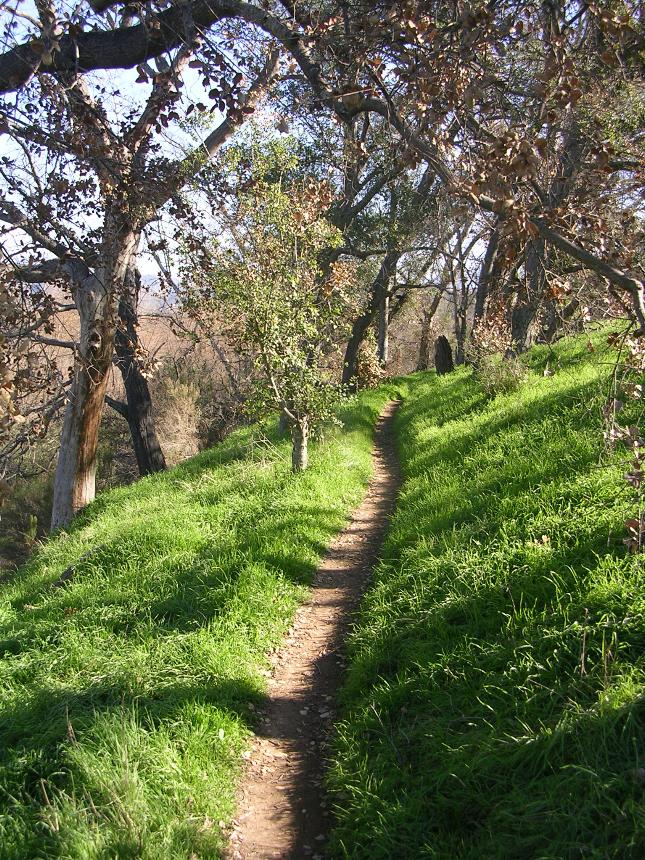
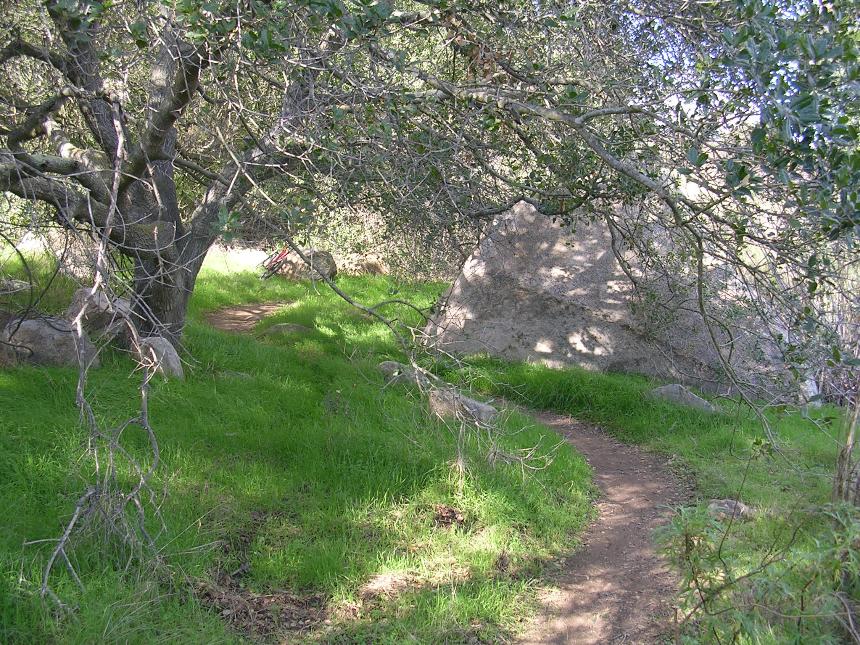
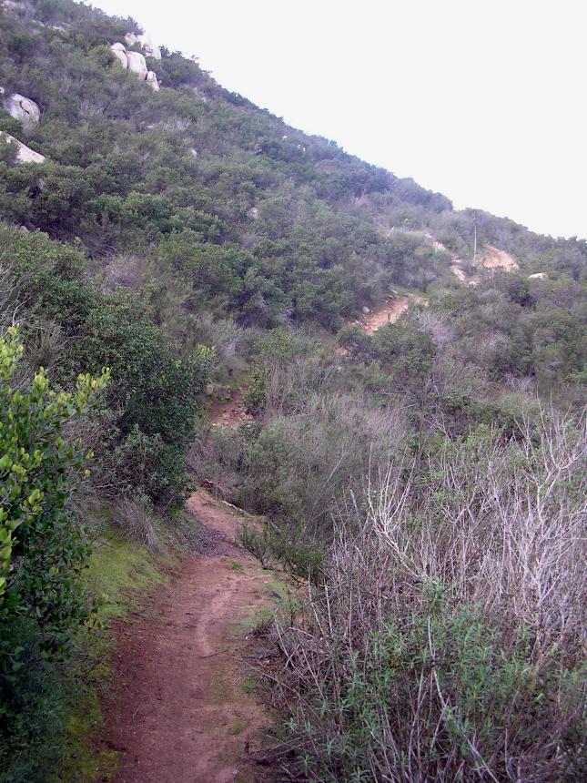
You are now on the Benardo Bay singletrack that runs along the south side of the lake. This is one of my favorite bits of singletrack out here. To the left is picture from that single track around Point P. The singletrack goes along the lake edge for 8/10ths of a mile where a trail comes in from the right. This trail comes down the south east corner of the sizable hill that you now see in front on you. Bear to your to stay down along the lake and remain on the Bernado Bay trail. Conitnue along the trail down by the lake. You will soon pass around the north side of the large hill.
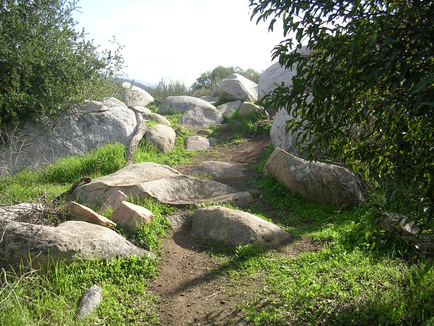
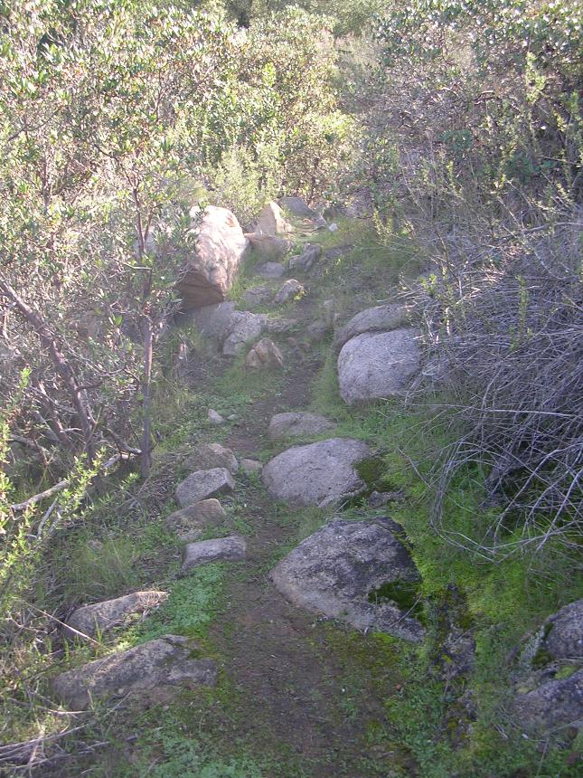
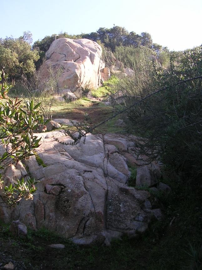
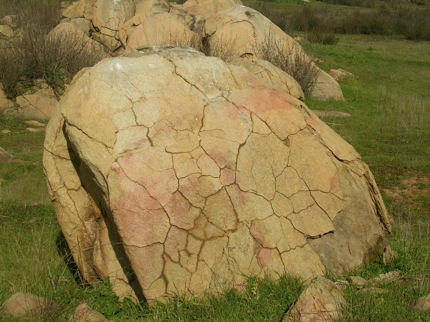
There is only one hill on the eastern end of the trail system (Point M on the map) os significant size. Here are a couple of pictures from the top of the hill at Point M. In recent years the park has closed off the trail that goes to the top of this hill. The hill was a big draw for this place so it is no wonder that the park seems to be having difficulty in getting the public to respect the closure. As you pass by the north end of the hill along the Bernardo Bay trail you may see a trail coming in from your left. When this trail was open it was an extremely steep trail that was for the most part only used by hikers. The bike access was done from the southern end of the hill. Continuing on the Bernardo Bay trail it continues to the follow the shoreline of the lake and turn to the south. Just as it turns to the south you will have a short technical section of rocks to navigate before you are back onto smoother terrain. The trail will go south along the western base of the large hill and then turn south east then east to go around the south end of the hill.
Shortly after the trail turns east, you will come to a split in the trail off to your right. You can take this right or the next right (they will both merge together) and turn south. After a short distance on either trail you will crose over the Green Valley creek bridge which is a 40 foot steel and wood bridge.
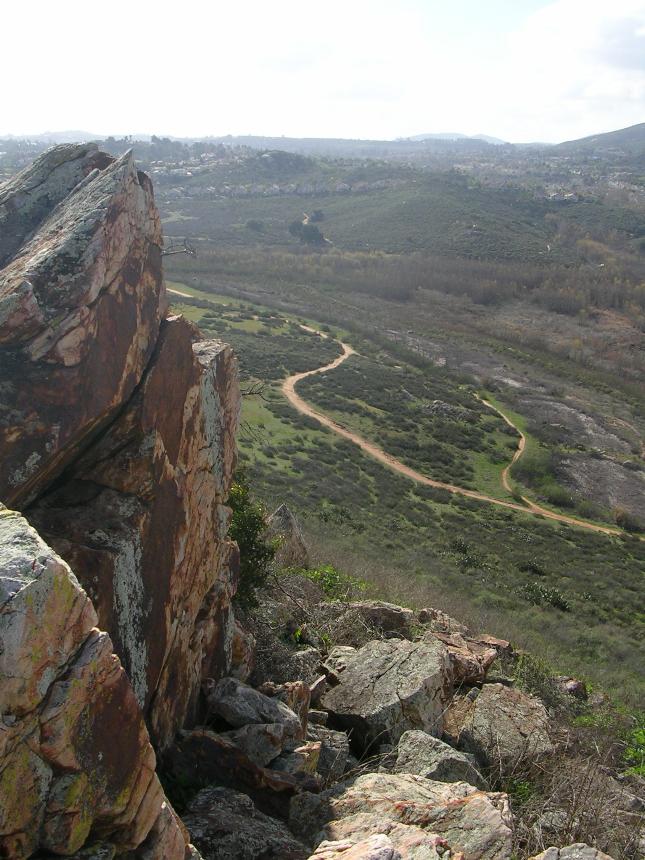
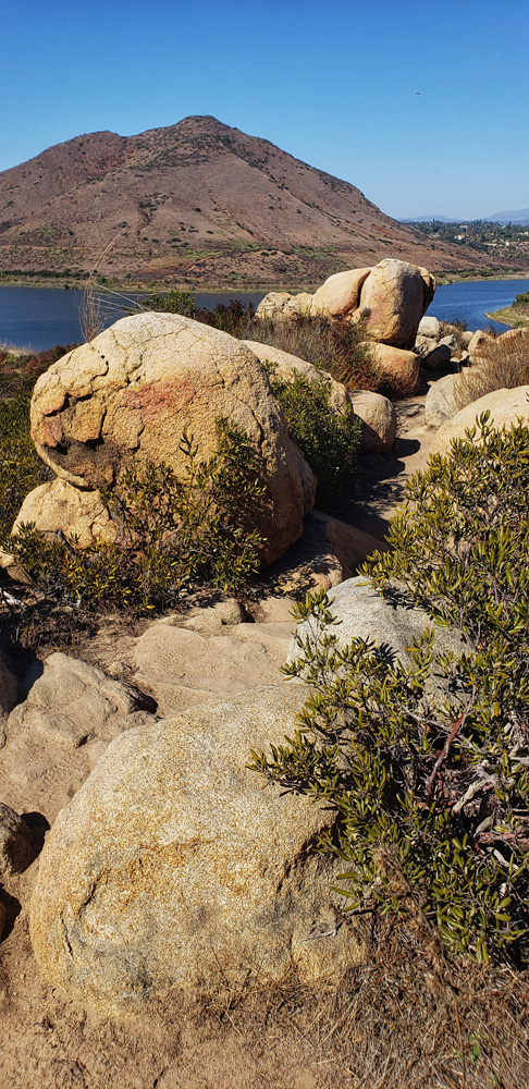
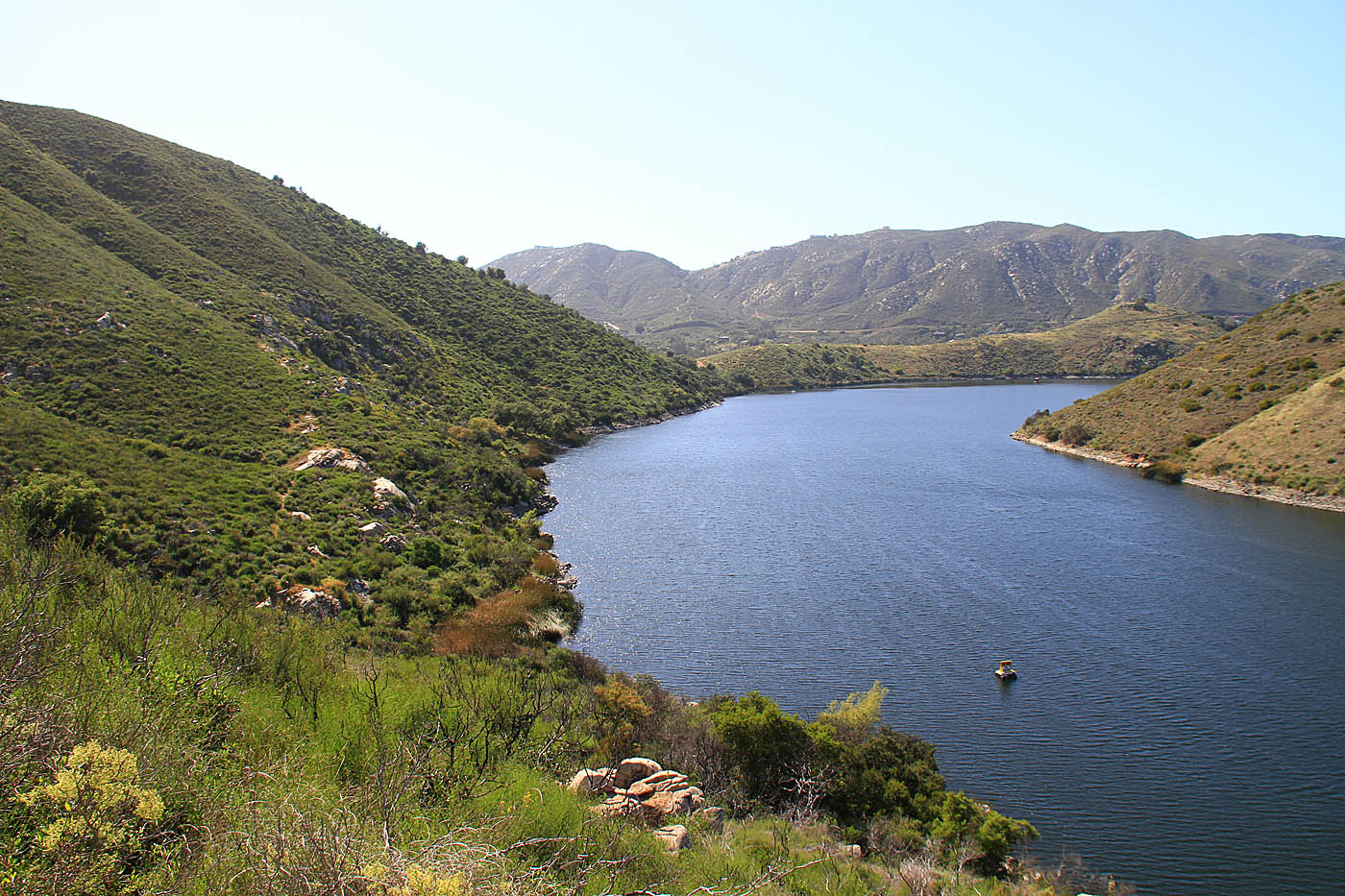
 The top of the hill at Point M looking east at the area you came in from.This photo (and the one below) was taken when the lake was drained very low. It normal water level is much higher.
  Looking Northwest from the low lying singletrack between Point M and N. The large hill is on the right-hand side with Bernardo Mountain on the north side of the lake in the distance on the right hand side.
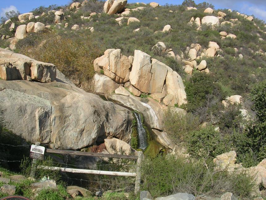
After crossing the bridge, hang a right to roughly follow along the lake. The trail does a bit undulating and turns away from the lake for a short distance. As you near Point N the trail will turn away from the lake and head towards a set of homes. The photo to the left is of the waterfall just before Point N.
Around Point N you will cross over a creek and into a rather large clearing/open area. From here just follow the trail back towards the lake (North). Once the trail gets near the high water mark of the lake it bends to the west and follows along its edge. Shortly after this point a singletrack bears off to to the right and goes up a small hill. Take this singletrack. It is a nice short climb with a little bit of technical after going over the top before it rejoins the main trail you were orginally on.
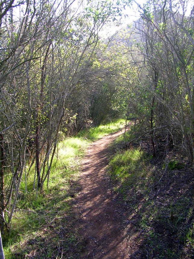
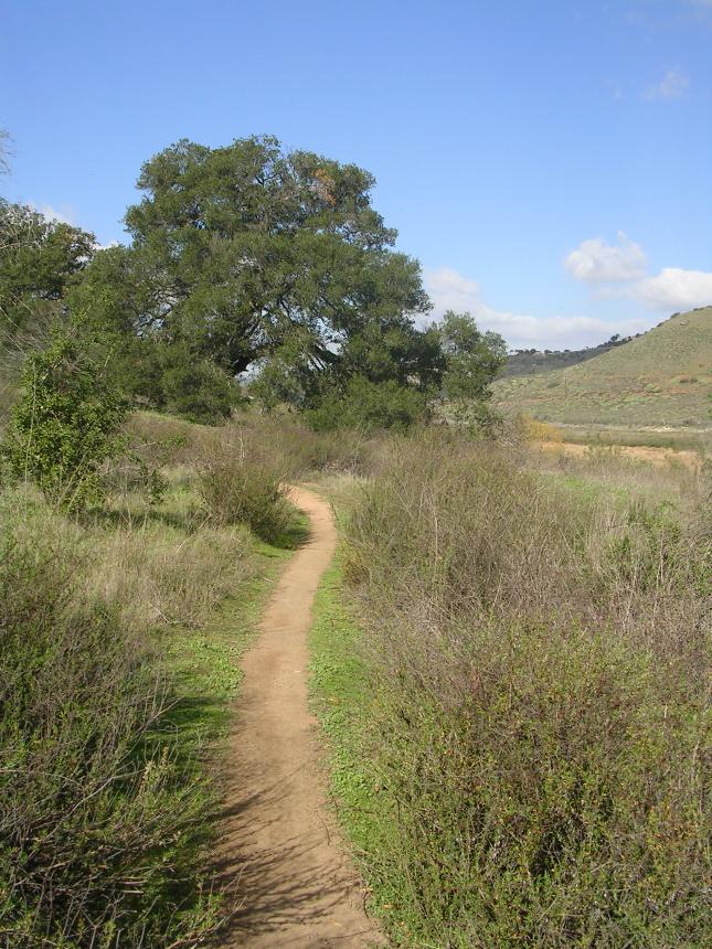
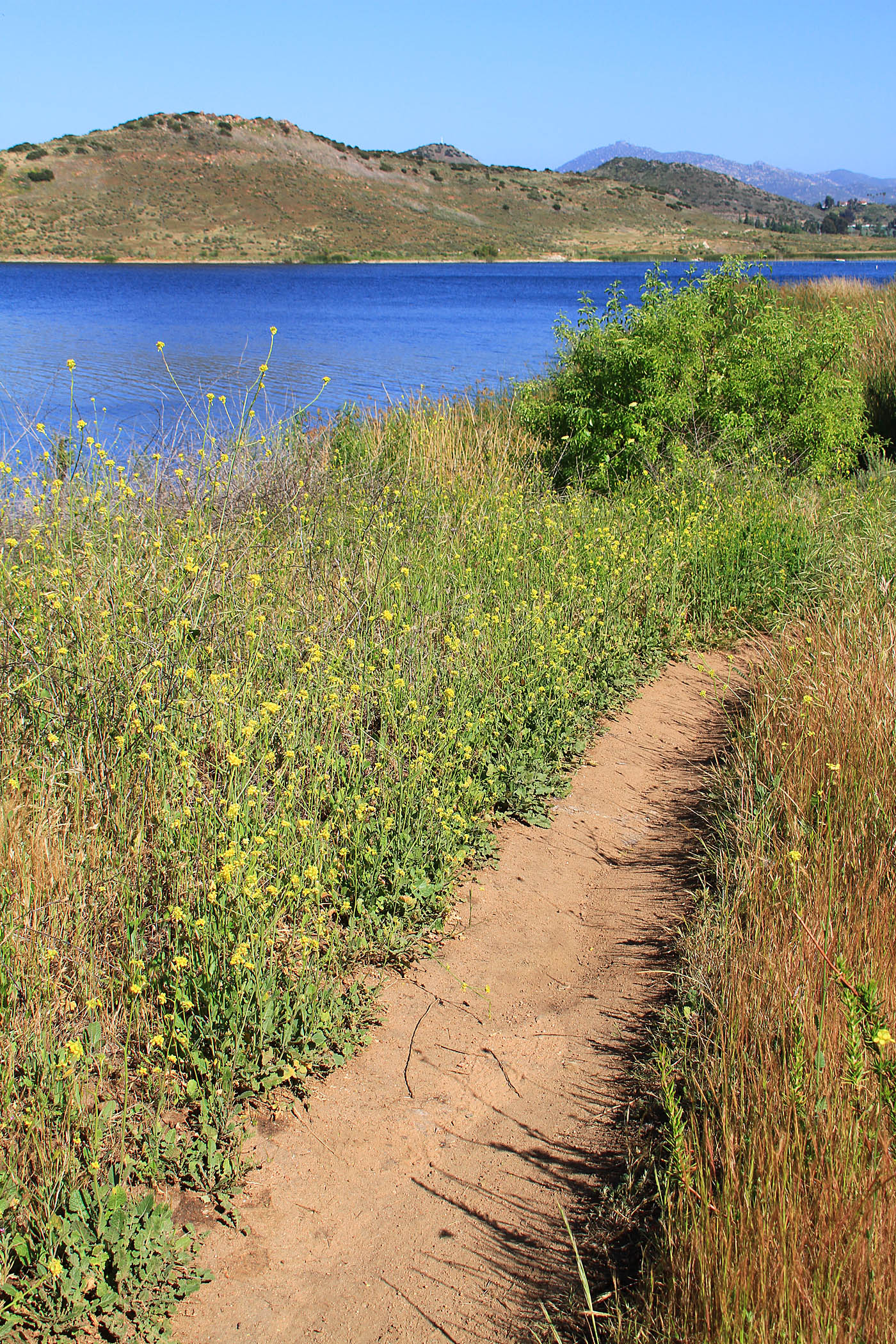
At the junction of the main trail, bear to the right where the trail quickly turns into the respectable singletrack category. As you work you way along this trail you will go through some scrub brush, stands of trees and open meadow grasses. A nice bit of trail. Follow this singletrack in the northwestern direction as it parallels the shoreline towards Point O.
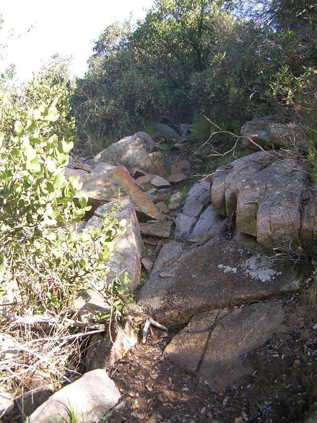
As you work your way towards Point O the trail gets a little technical here and there in spots and the spots occur more often the further you go. The trail will also get progressively steeper as you near Point O. The trail dies out shortly after point O. There has been lots of talk about how awesome it would be to have a trail that would close out on the loop around the lake. There are some private property issues in this area that will probably keep that from ever happening.
At Point O, turn around and retrace your steps back to the sidehill single track but this time stay on the main trail back to Point N. Retrace your path back to the steel/wood bridge. Cross the bridge and when you come out into the large open area bear to your right on a fireroad up to the main junction of trails to the southeast of the large hill at Point T.
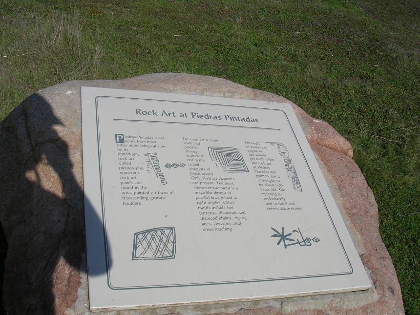
At Point T are some rock paintings here and there made by the Kumeyaay Indians about 500 years ago. This is the start of the Piedras Pintadas interpretive trail that you rode out to Point N earlier. From this trail junction you can go straight up the hill back to the trailhead parking off of West Bernardo Drive in short order.
To get in some more of the Benardo Bay trail (highly recommended) bear slightly left at Point T and to go north on the east side of the large hill. After going over a small saddle you will drop back down to the lake where you will connect to the singletrack you came in on. Hang a right to get back on the Benardo Bay trail and proceed towards Point P and back towards West Bernardo Drive. The singletrack will come out on a concrete pathway will you will hang a right and go back up to the the trailhead.
The south side of Lake Hodges is an interesting ride all on its on own but using the bridge allows you to combine the best singletracks on the south side with the longer miles of the north side and the climbing workout of Bernardo Mountain. On the Lake Hodges - North Side I have a description of 29-mile route that combining both sides.
Highland Valley Trail - Raptor Ridge Option
This route option includes in the south side single track along with Highland Valley trail. This route is 20 miles long but you don't have to do the whole thing. After doing the south side trails you will use some kick sidewalk connection to get ontot Highland Valley trail which is basically an out and back. You have the option to hop onto Highland Valley road and go east on it to connect up to the Old Coach Trail and onto the Coast to Crest Trail will take you up to Raptor Ridge. Raptor Ridge is the apex of this route. After dropping back down Raptor Ridge you will retrace your way back to the Mule Hill trail. The Mule Hill trail is a fairly flat and fairly boring double track back to the Sike Adobe staging area.
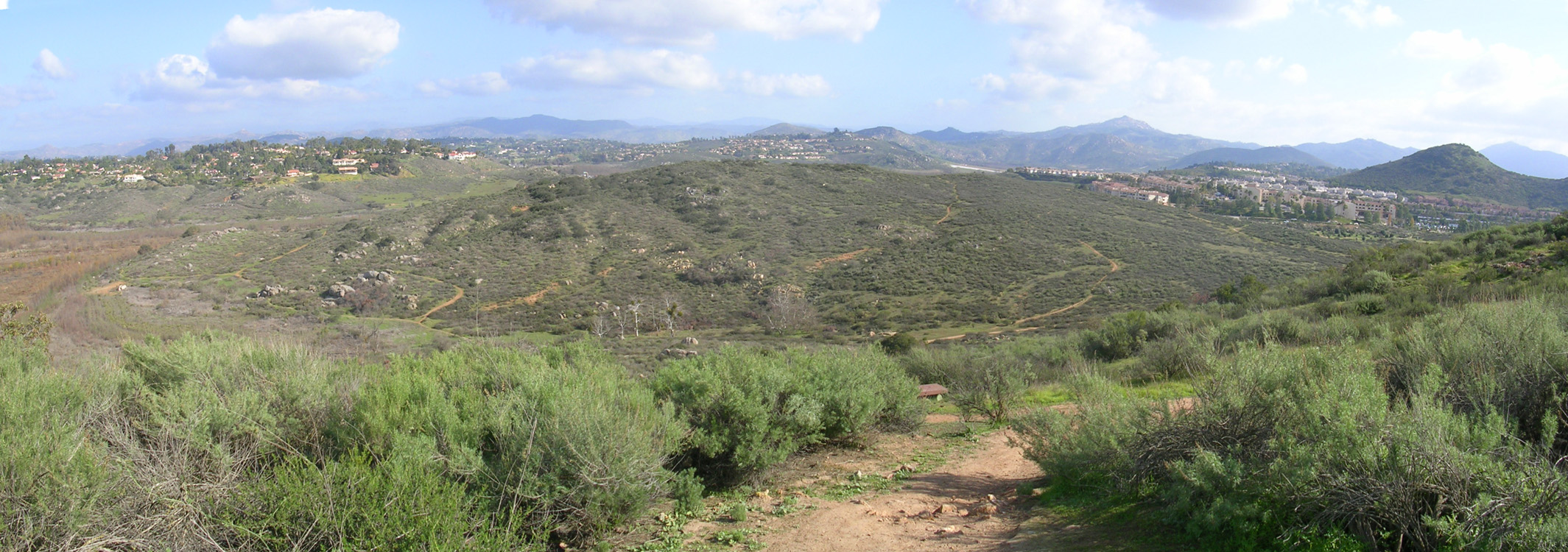
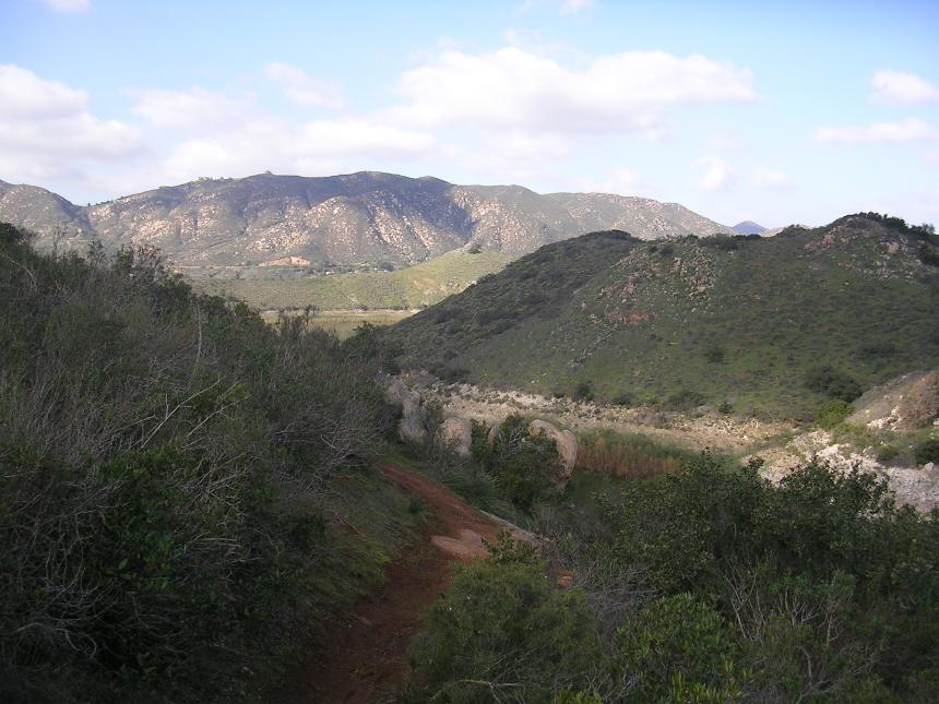
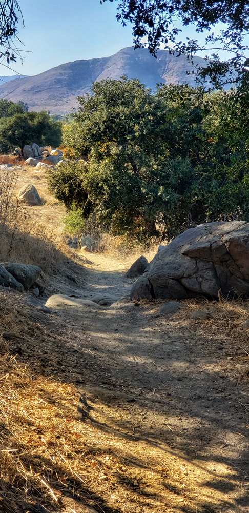 Highland Valley Trail with Bernardo Mountain in distance