The Laguna Coast Wilderness Park
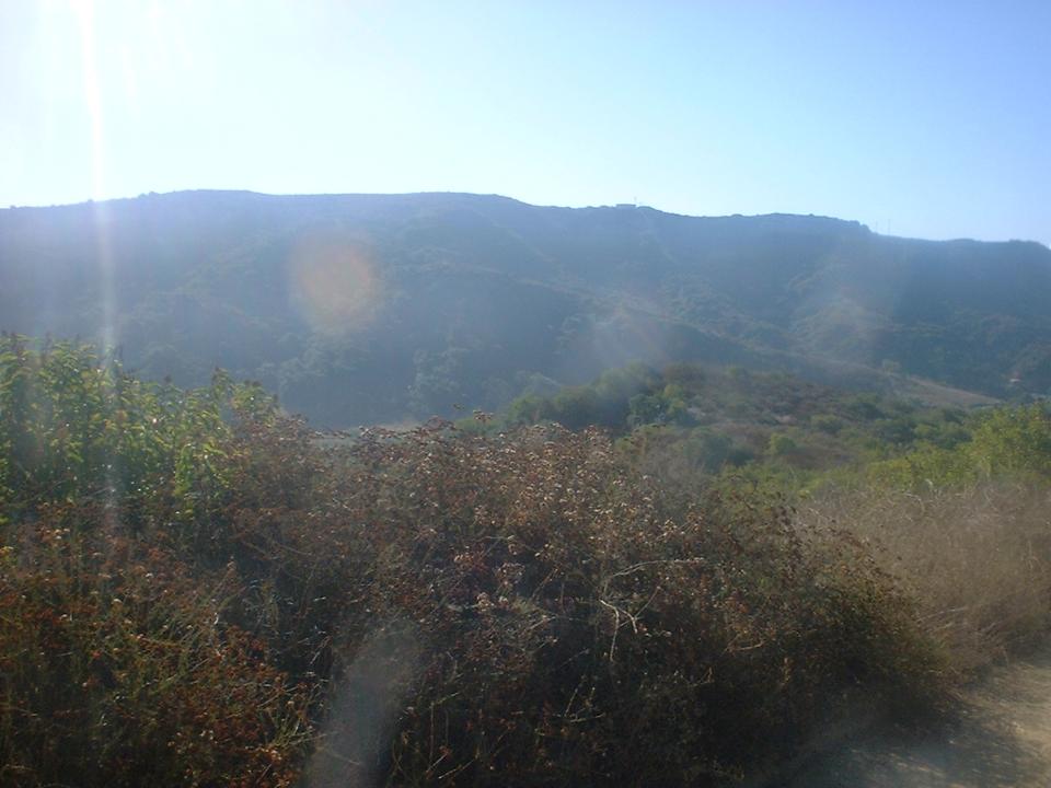
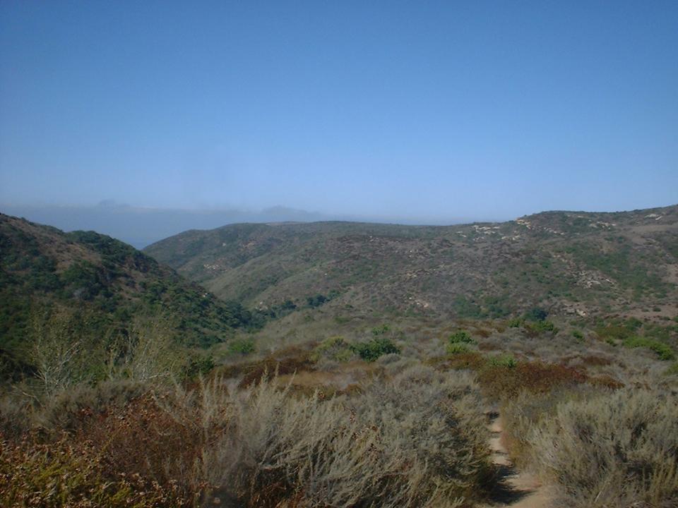
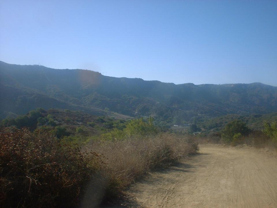
The Laguna Coast Wilderness Park is really no where close to being "Wilderness" but it has some good fire road climbs and a few single tracks that make this a great place to get in a workout. It is close to the coast so when you are up on the ridges you will often times have a nice ocean breeze to help keep you cool. The park is only open on the weekends so plan your ride accordingly. It is situated right beside El Moro Canyon park and riders often combine the two areas for some additional mileage rides.
 Trail
Map of the Laguna Coast Wilderness Park.
Trail
Map of the Laguna Coast Wilderness Park.
Download the TOPO! file here. (Note: This file does not have all of the trails connected as I have ridden them. See description below for the route I took)
![]() This
is the profile for the route described below
This
is the profile for the route described below
Driving Directions to the Trailhead: (Note: I have heard that the parking fee has gone up to $10.00 per vehicle)
|
From the San Diego Area: Take I-5 north, exit onto CA-73 North (This is a toll road so have some change available). Take CA-73 for 5.65 miles and then take the CA-133/ EL TORO RD/ LAGUNA CANYON RD exit. This is a long exit at is nearly a mile long. Then turn LEFT onto EL TORO RD and take it for .8 miles to LAGUNA CANYON RD/ CA-133 where you will hang a left. Look for the dirt parking lot on your right. | |
|
From other areas: Use your favorite driving directions website (I use www.mapquest.com ) to get to 20101 Laguna Canyon Rd, Laguna Beach, CA 92651. |
Trail Description:
Recommended Route:
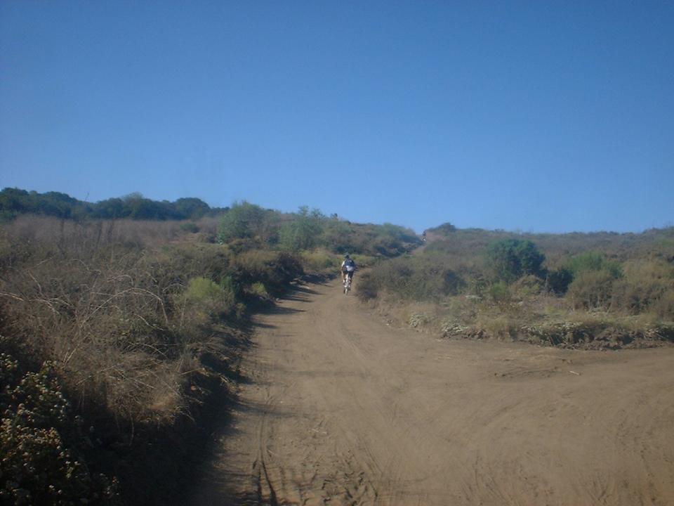
 From
the trailhead go up Willow Canyon Road. Take a note of the first fire road
your right as you will be coming back up that fire road in a bit. Twenty
yards further up the Willow Canyon Road you will hang on right on the second
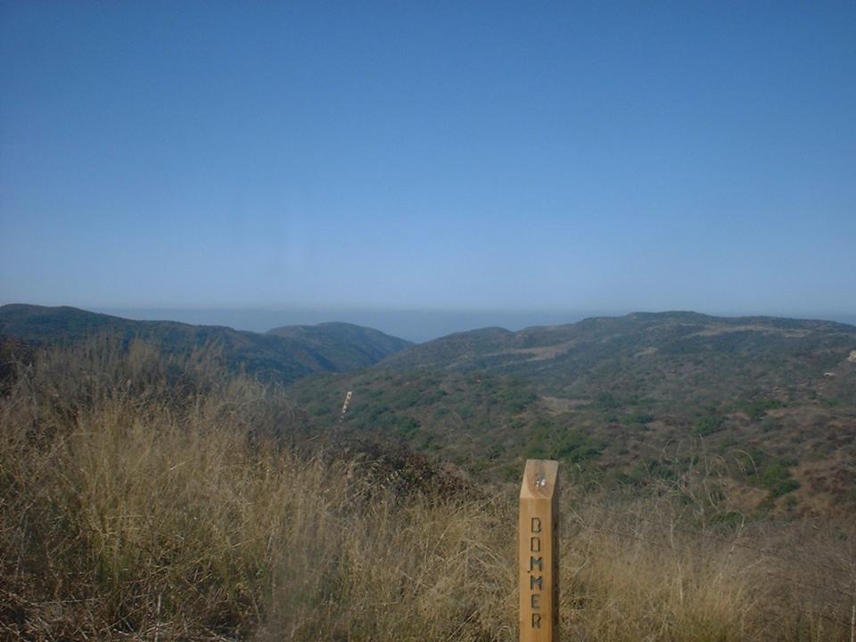
fire road. This will soon merge onto the Boomer Ridge fire road.
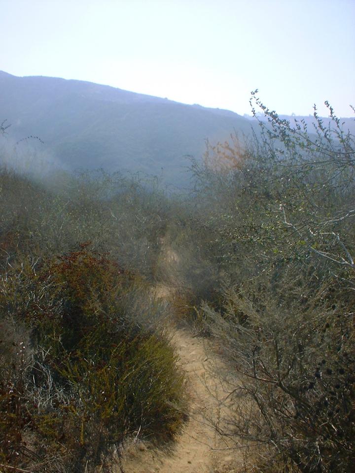
Continue along Boomer Ridge for 1 miles. As you come up to a very
sandy area look for a single track off to right.
From
the trailhead go up Willow Canyon Road. Take a note of the first fire road
your right as you will be coming back up that fire road in a bit. Twenty
yards further up the Willow Canyon Road you will hang on right on the second
fire road. This will soon merge onto the Boomer Ridge fire road.
Continue along Boomer Ridge for 1 miles. As you come up to a very
sandy area look for a single track off to right.
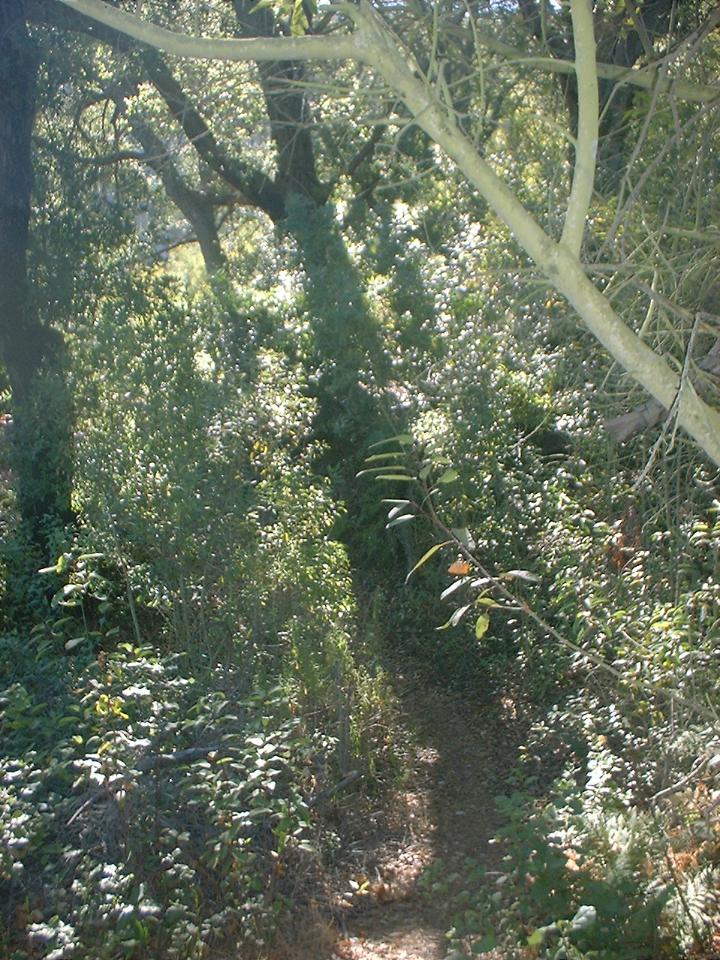

Take the single track. This trail is very narrow in spots and is a real blast. There is one spot that will be a hike-a-bike for most folks going in this direction unless you have some mad skills. This single track is over a mile long and it will eventually drop you out to a fire road. Hang a right and take it uphill for about 1/2 mile until you come back out onto the Willow Canyon fire road. Hang a right and take the fire road up to the T-junction with the Boomer Ridge trail.
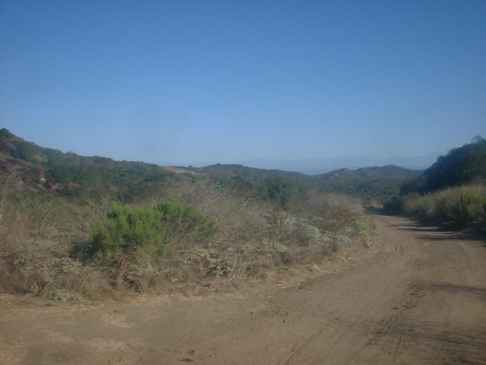
You will now hang a left on Boomer Ridge and do some up and down ridge riding for 1.1 miles. Look for the Old Emerald single track off to the right. Actually be real careful as you will be heading downhill at the junction so you may miss it if your not looking close.
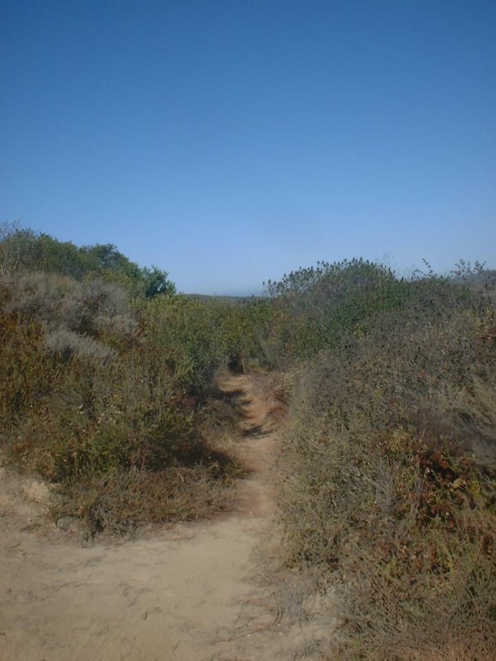
 Old
Emerald is a fun single track that dumps 400 feet in 7/10ths of a mile down into
Emerald Canyon. From here you will hang a right and head up Emerald Canyon
fire road where you will climb 450 feet over 1.1 miles back up to the Boomer
Ridge fire road. You will hang a right here and do some retracing on the
Boomer Ridge fire road. This time however you will not take Old Emerald
but continue along Boomer for another 3/4ths mile to a junction of several fire
roads. You will see a singletrack heading off to the left up a
small hill that is on your left. This starts the Laguna Ridge Trail (More affectionately
known as T&A or The T&A drop by the locals). Ride up for a hundred
feet or so, then start your slippery, rutted descent, which eventually flattens
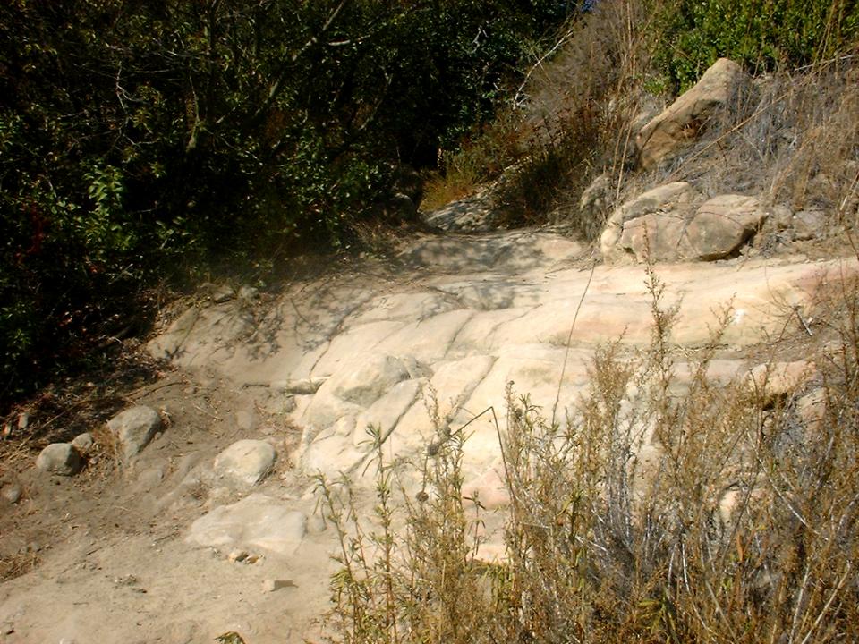
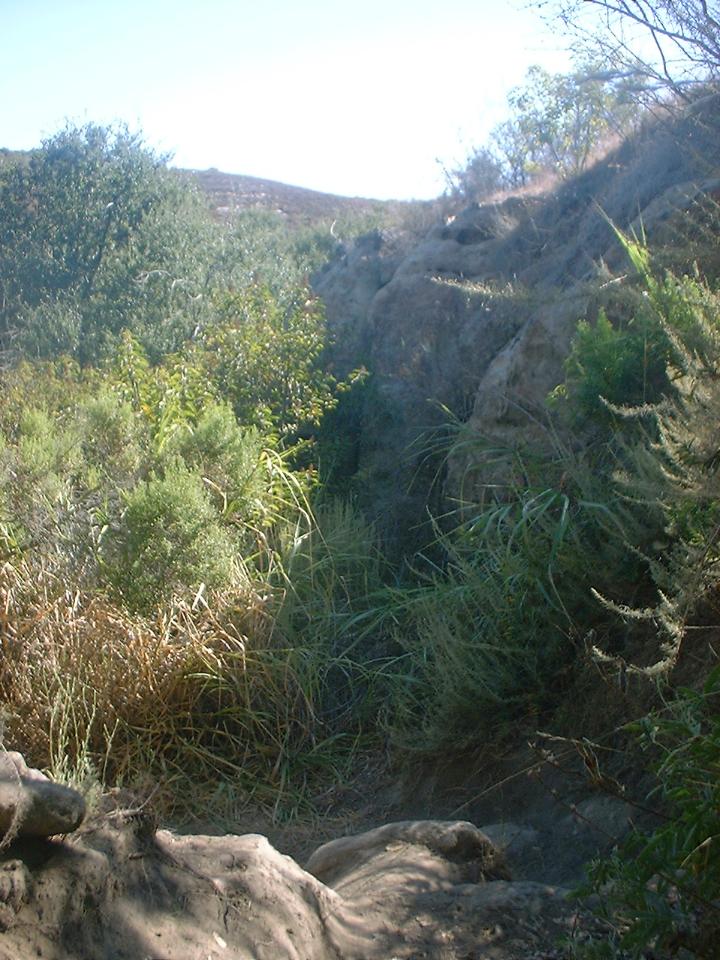
out a bit. Eventually the trail get much more technical with steep sections with plenty of sandstone
and boulder drops as well as rock gardens. This trail drops 750 feet in
3/4ths of miles.
Old
Emerald is a fun single track that dumps 400 feet in 7/10ths of a mile down into
Emerald Canyon. From here you will hang a right and head up Emerald Canyon
fire road where you will climb 450 feet over 1.1 miles back up to the Boomer
Ridge fire road. You will hang a right here and do some retracing on the
Boomer Ridge fire road. This time however you will not take Old Emerald
but continue along Boomer for another 3/4ths mile to a junction of several fire
roads. You will see a singletrack heading off to the left up a
small hill that is on your left. This starts the Laguna Ridge Trail (More affectionately
known as T&A or The T&A drop by the locals). Ride up for a hundred
feet or so, then start your slippery, rutted descent, which eventually flattens
out a bit. Eventually the trail get much more technical with steep sections with plenty of sandstone
and boulder drops as well as rock gardens. This trail drops 750 feet in
3/4ths of miles.
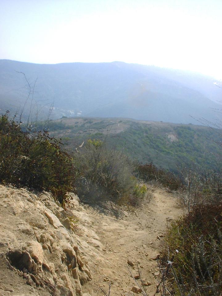
 At the bottom of the Laguna Ridge Trail
the trail hangs a left, and work
your way back up to the parking lot. Early in the year SBC did some
work right at the bottom of the trail that forced people to divert onto the road
instead of the trail. SBC has since finished their work but now the trail
is quite a bit overgrown between the bottom of Laguna Ridge and the Horse
Staging area. Your total mileage should be
around 13 miles. This may not be much but this ride works great when
combined with El Moro Canyon and/or Aliso-Woods
Canyon.
At the bottom of the Laguna Ridge Trail
the trail hangs a left, and work
your way back up to the parking lot. Early in the year SBC did some
work right at the bottom of the trail that forced people to divert onto the road
instead of the trail. SBC has since finished their work but now the trail
is quite a bit overgrown between the bottom of Laguna Ridge and the Horse
Staging area. Your total mileage should be
around 13 miles. This may not be much but this ride works great when
combined with El Moro Canyon and/or Aliso-Woods
Canyon.