
Aliso Creek and Wood Canyon Park
Aliso Creek and Wood Canyon Wilderness Park is located near Laguna Beach in Orange County. The park offers trails for just about every skill level which makes it attractive to a lot of people. With that in mind you have to be very mindful for other riders and hikers, especially at the lower elevations.
| Download the TOPO! file for this ride HERE |
| Directions: From I-5 or the 73 toll road exit at Alicia Parkway and go south (towards Laguna Beach). Just past Aliso Creek Road, turn right on a small street called AWMA Road. You'll quickly see the parking lot. There is a $3 fee per vehicle to park. |
(Note this link will open a new window) |
| Ride Report and Trail Notes: |
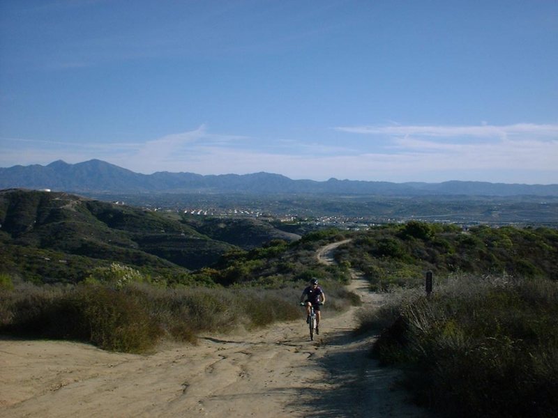
My favorite path to take for this ride is to roll down the paved road at the north end of the parking lot for about 1.5 miles where you come to the junction of the Wood Canyon trail. The Wood Canyon trail is a fire road that is open and flat at the south end and ends up shaded by oaks near the north end. At the end of Wood Canyon at mile 4.8 is Cholla trail. Cholla is a tight steep uphill single track with lots of cacti waiting just off the trail for those who do an off-trail biff. Cholla gains about 224 feet in 1/4 of a mile giving it a grade of 19 percent. At the top Cholla is the East Ridge fire road. Head south and 
 uphill on East Ridge. You will pass by the top of the Lynx trail on your left at mile 5.0. Lynx is nice technical single track offers some serious shade on a very narrow trail. There is one uphill obstacle/section that will be hike-a-bike for all but the most bad ass skills having dirt heads. After the hike-a-bike section you will roll along under the shade of beautiful oak trees. Lynx will ultimately take you to the bottom of the Rock-It trail.
Anyway if you continue straight up the ridge, take the next single track to the left at mile 5.44 (actually at the beginning it appears to be a fire road but it narrows quickly). The Rock-It trail is a very technical downhill that drops 395 feet in 1 mile over some pretty gnarly terrain. The signature section of the trail is a steep downhill of rock ledges that can jar the fillings out of your teeth. Speed is your friend through this section but it can take some big brass ones to ease off the brakes and let the bike flow. After surviving the rock ledges you finish off the trail with a 100 yard section of washboards that will get rid of any fillings that may have survived the earlier portion of the trail.
From the bottom of Rock-It you will hang and right and follow Coyote Run for about 1 mile. Coyote Run is flat for the most part and parallels Wood Canyon. This single track will take you through grassy meadows and well as stands Oaks along side the creek. Eventually Coyote Run will bring you to the Mathis Canyon trail at mile 7.5 were you will take right and head for the climb.
Mathis Canyon trail is a real grinder of a climb that is all fire road. Mathis does not screw around with switch backs or anything that would resemble much of a break in the climb. Mathis takes you right up the ridgeline for a gain of 655 feet in just under a mile. This is a great opportunity to burn out your legs and see what kind of gears you can push with them. For me it is mostly blue-haired granny time for the better part of the climb. Of course some other guys just machine up in some serious gearing. Mathis is where Mike shows us why he is known as "Middle Ring" Mike. Mathis is also a rather cruel hill on the mental side of the house. Just when you think you are going to crest out Mathis laughs at you and shows you some more 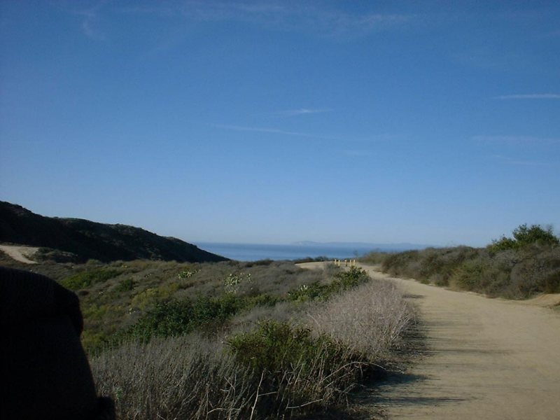
 hill. This should make most riders dig deep to keep going. When I got to the top of Mathis I was ready to give some kind of victory cry, but I had to be content to just get my lungs back down into my chest cavity. The views from the top of Mathis can be really great with the Santa Ana Mountains the east and the Pacific Ocean to the west.
From the top of Mathis at mile 8.8 you can either hang a right and catch the Lynx trail you passed by earlier or you can hang a left and climb up to the "Top of the World" at mile 9.49 where you can see some more great views of the mountains and ocean. If your take the Top of the World option you can ride the paved road for about 0.9 miles. Just after pass a fire station on your left you will go over and speed bump and the road will turn left. About 100 yards after the turn you will see an open area between two homes on your right. In that open area is a single track that will lead you to another paved road. Hang a right on the pave road and take it up a hill. At mile 11.0 there will the trail map sign on the left side of the road. Hang a left where you will go down The Meadows trail. The Meadows is a quick downhill with a bunch of switchbacks that takes you down into a grass meadow. Follow the main trail and it will take you back to the main access road that you came in on at mile 11.9. Hang and left and ride the road back to the parking lot at mile 13.9.
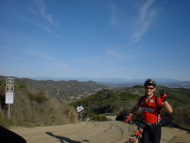
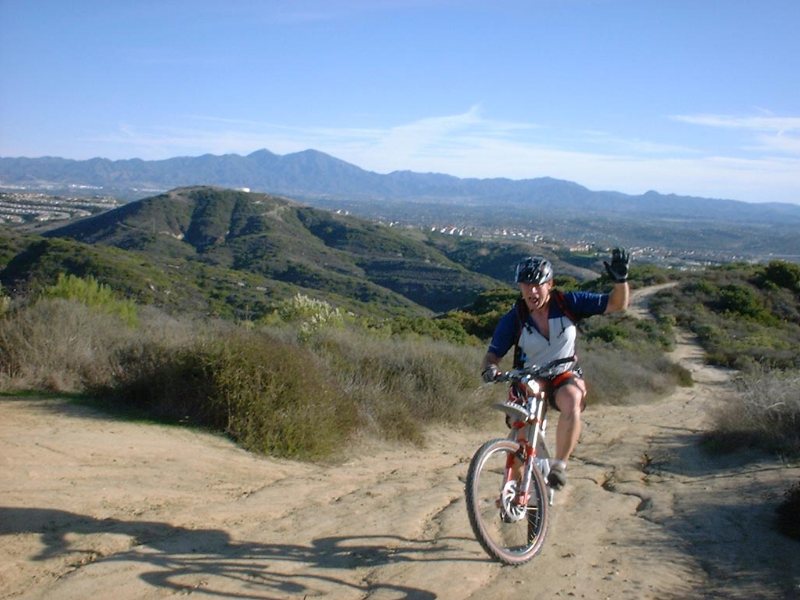
Here are some views from the top of the Mathis and "Top of the World" from a group ride on December 8th, 2001.
 |
Jeff polishes off the Mathis Canyon trail | |
 |
Wayne gives his plug for world peace. (That was two fingers he held up...right?) | |
 |
Sean does a one-handed wheelie at the top of Mathis! (F%^&ing showoff! Sincerely, No-Air Bill) | |
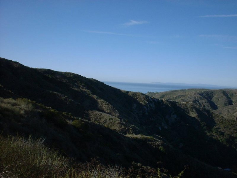 |
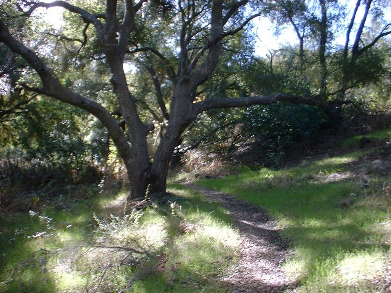
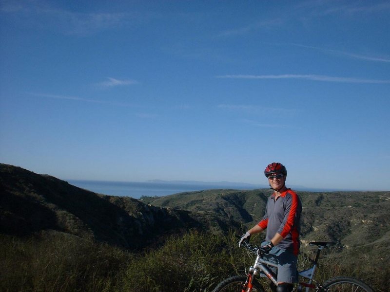
Check out the views of the Pacific with Catalina Island in distance. (In case you are wondering, that is the "My lungs taste like crap!" look on my face.) |
 |
 |
Another view of the Pacific from from the peak of the East Ridge Trail at the "Top of the World" | |
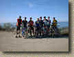 |
Here is a group picture taken at the "Top of the World" | |
Videos
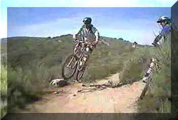 Take a look at us goofing around on Sean's Birthday Ride.
27MB
Look for other videos on the Videos Page.