
Fugato Yama aka Ghost Town

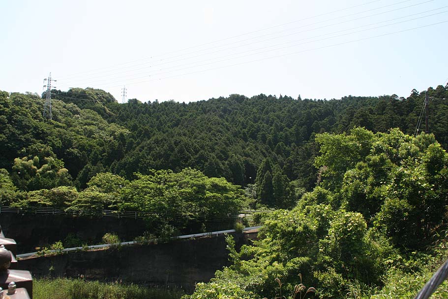
The the Fugato-yama area of the Muira Pennisula is a large area of open space that is forested and often rugged. It is bounded by Zushi to north, Hyama to the west, Yokosuka to the south and the Tokyo Bay communities to the east. It is a great place to ride and I have yet to fully crack all the trails in the area. This page is a mix of both public guiding directions and my own person notes. As such some of the comments and layout here may not make much sense to you. This is a great place to ride right out of the gate, but it just gets better the more you get to know the area.
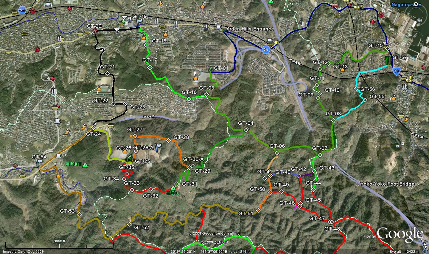
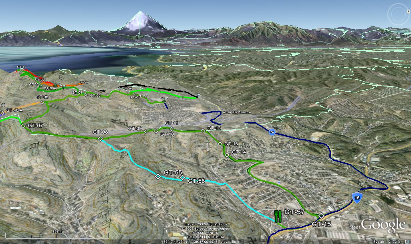
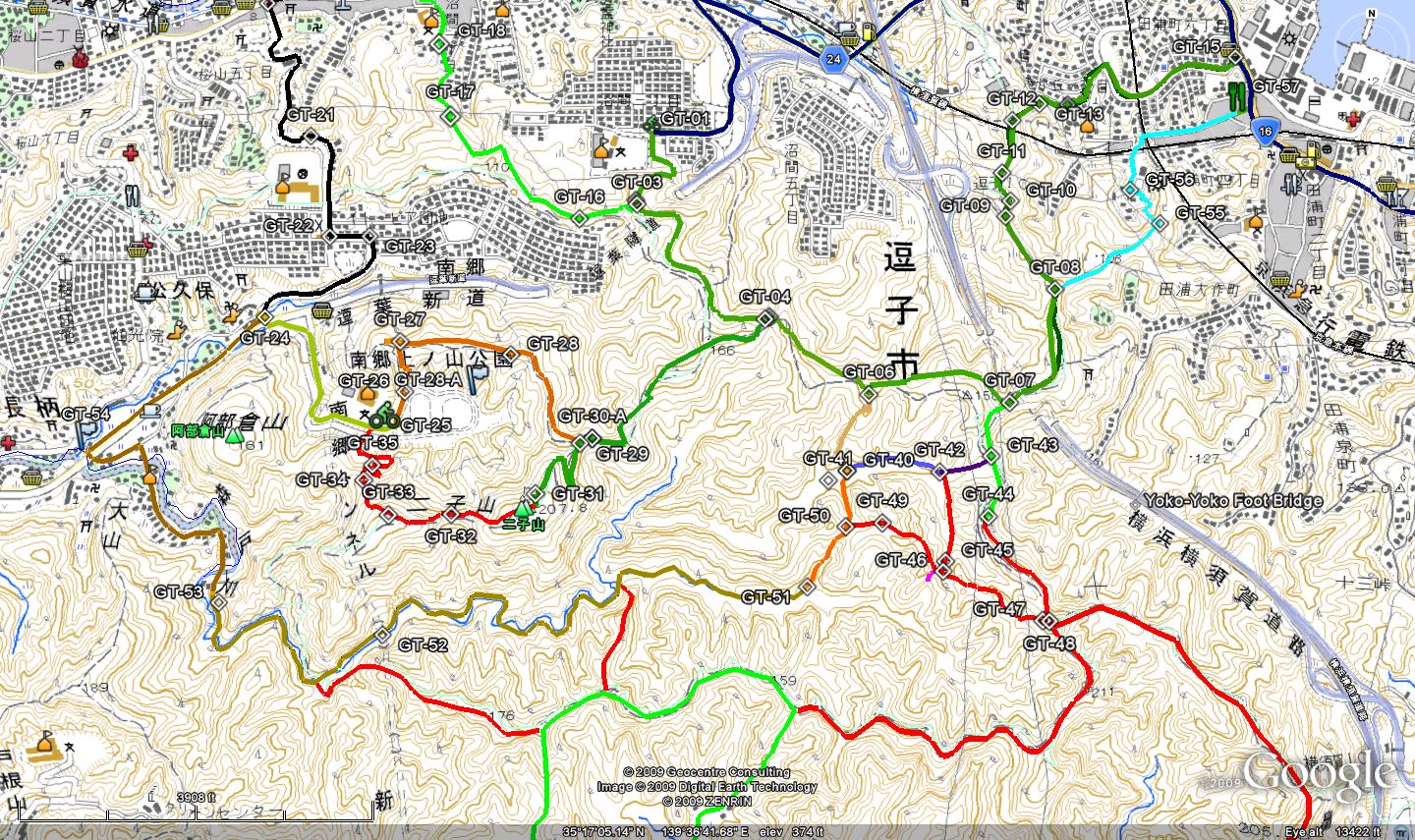
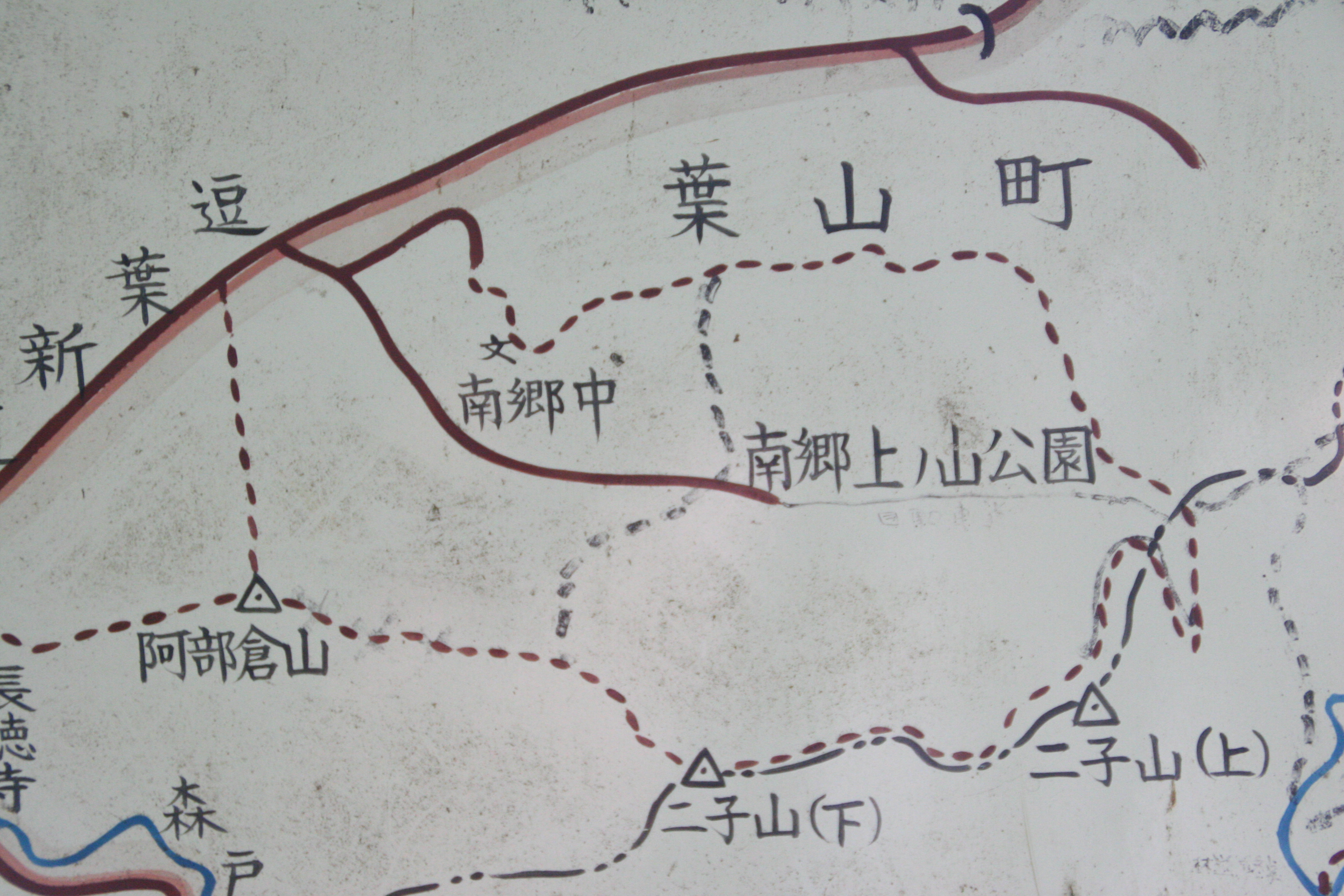
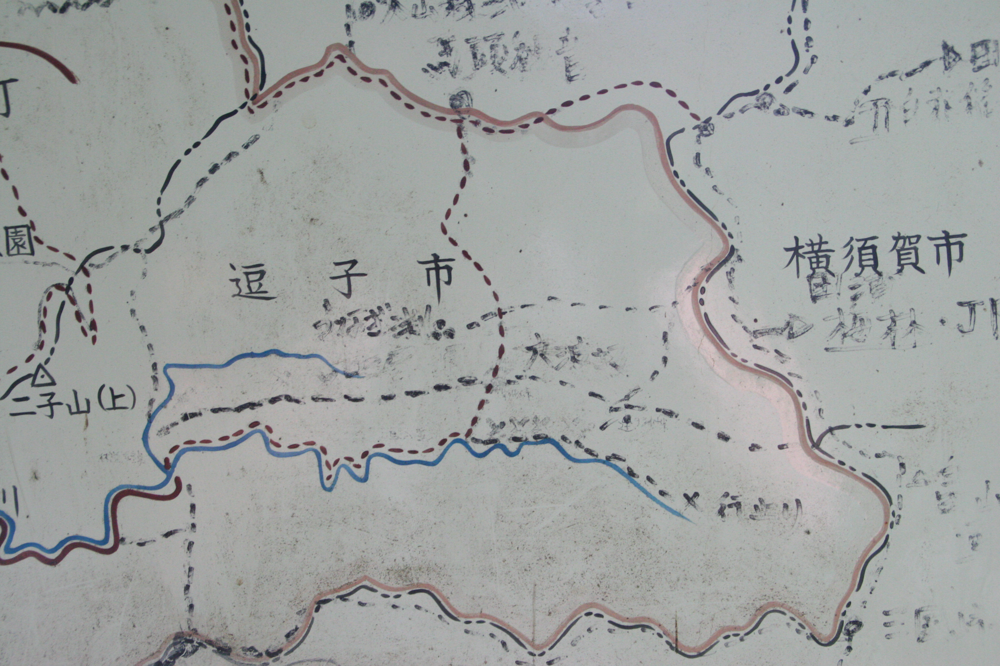
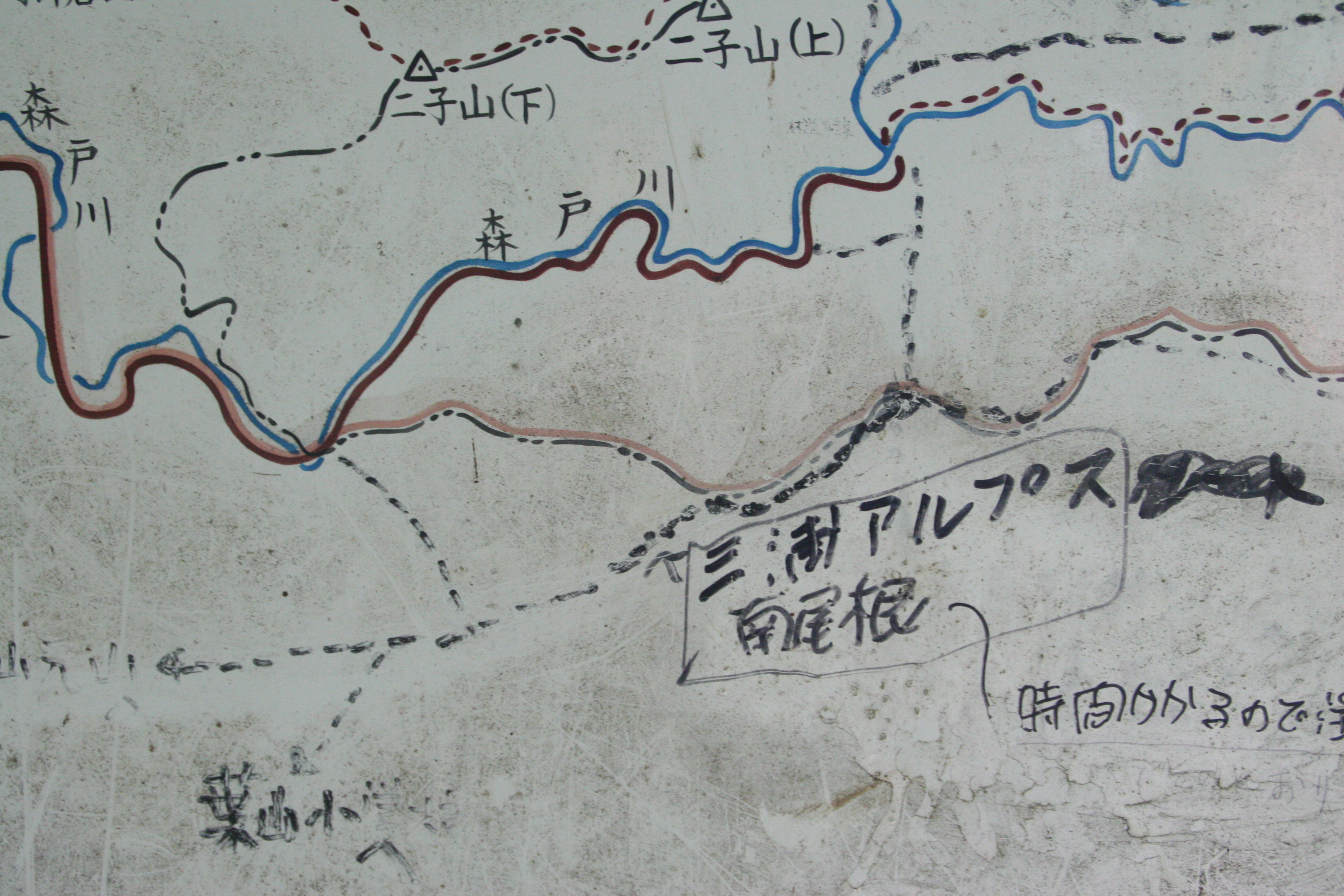
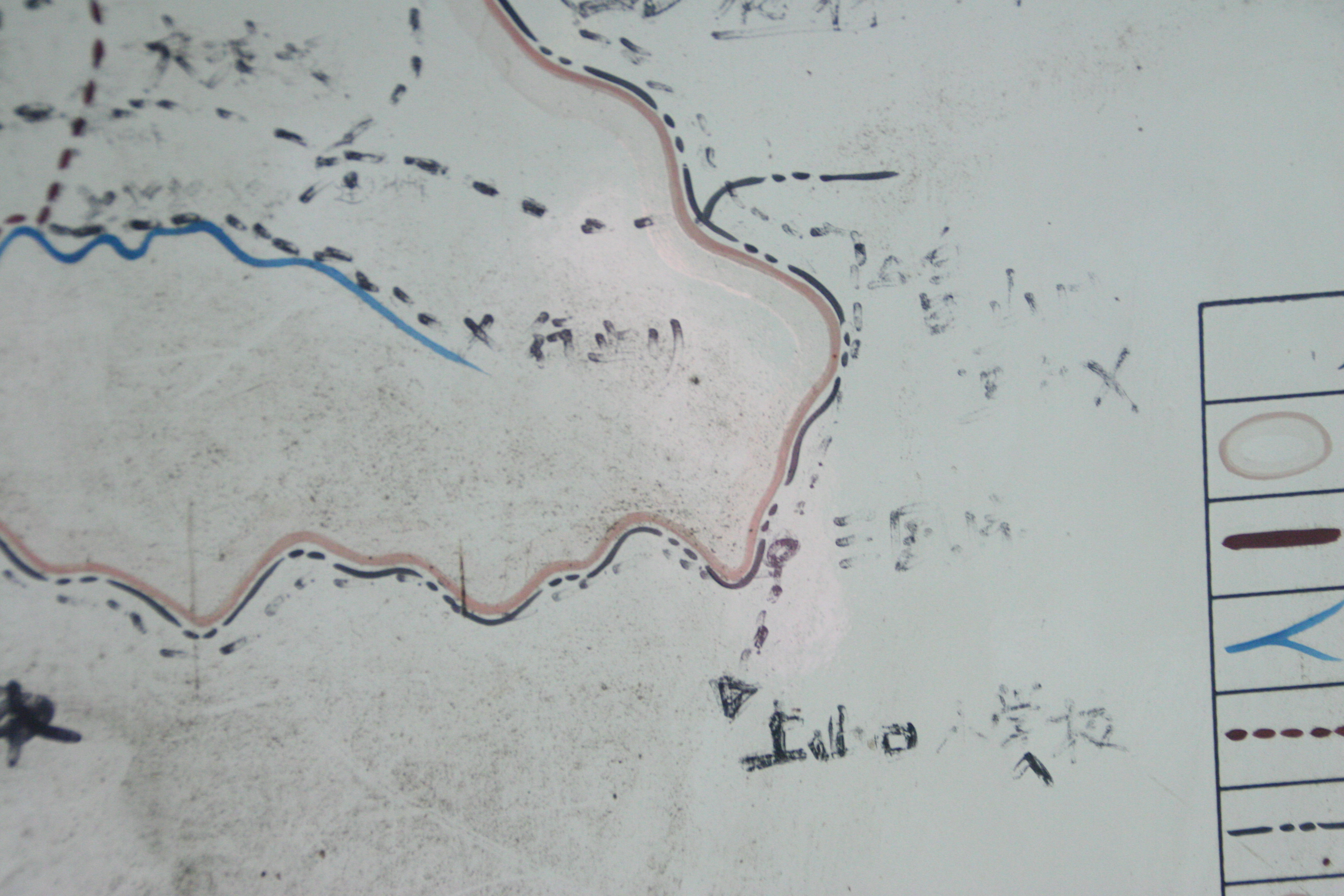
The maps I have made for the Japan rides are different that most of the other stuff you will find on the site. The primary tool is Google Earth and photo overlay and links. I have encapsulated nearly all of map notes into a KMZ file that is used by Google Earth. The KMZ file contains a topographic map layer of the Fugato-yama area that I pieced together using data from the Japan Geospatial Institute. At the bottom of the Places panel in Google Earth you will see a silder bar. If you click on the topographic map layer and move the slider back and forth you will adjust the transparency of the topographic map which allows you to see more of the aerial photo. Studing both the topographic map and the aerial photos will better prepare you for riding in this area.
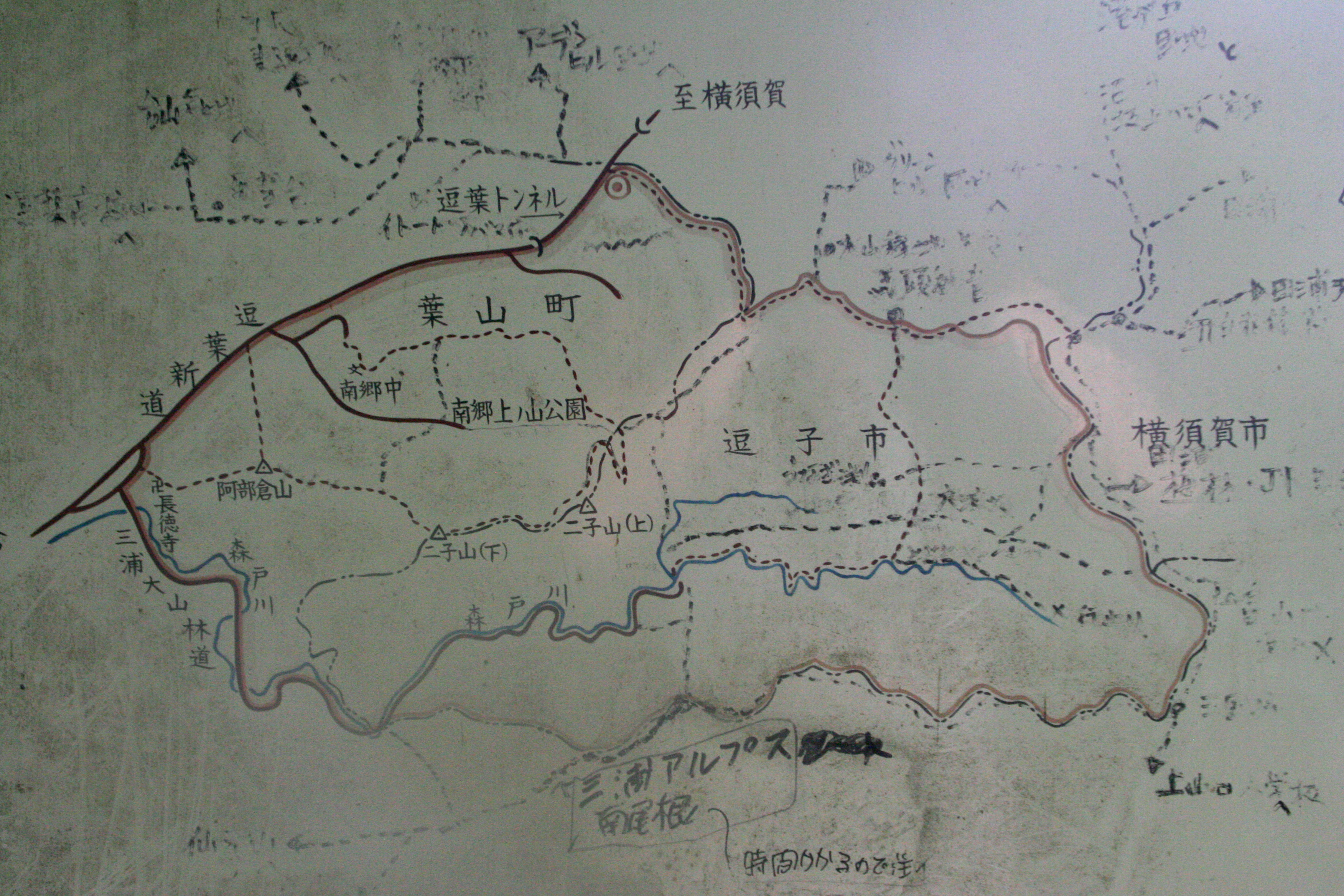
Closeups of Maps (Note these maps are more for my own notes more so than your benefit, but do enjoy!)
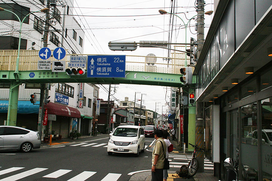
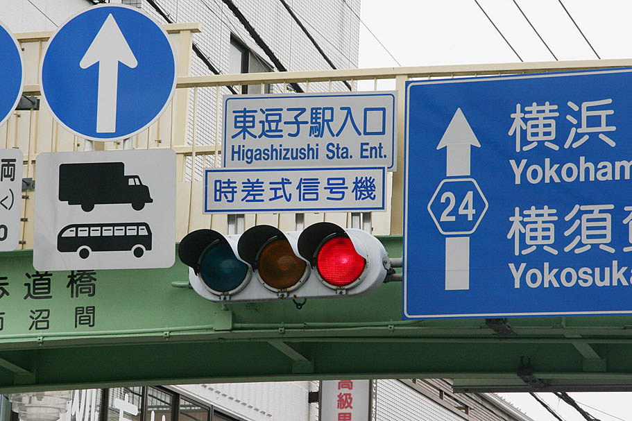
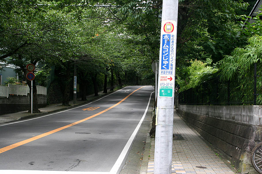
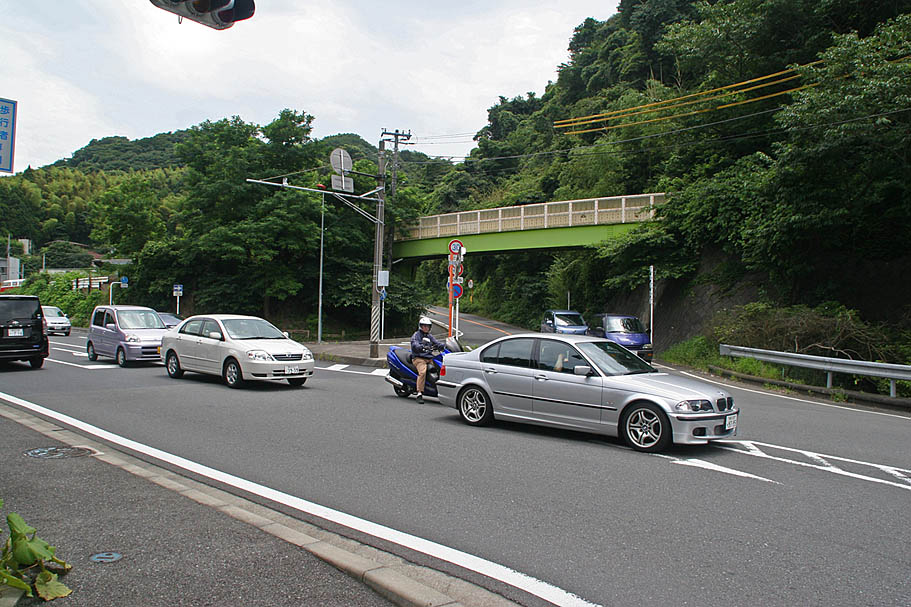
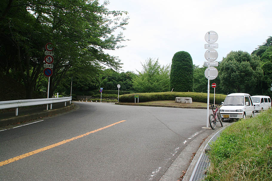
Getting there: These directions are geared for pedaling to the trailhead from Central Yokosuka. Cutting out some of the additional information will get you there in a car. From the corner of Highway 26 and 16 in Central Yokosuka. (The corner of blue street just outside the Womble Gate of the Yokosuka U.S. naval base). Head 2.4km north on Highway 16 on the sidewalks on the west side (direction of travel) of Highway 16. When you get by the Dai Mall take the pedestrian bridge over the east side of the road. Turn north and ride along the edge of Verny Park. When you get by the JR Yokosuka train station, cut through the round-a-bout take the pedestrian and bike path west back out to Highway 16 (Doing this cuts out some nasty traffic sections). From here get to the get to the west side of the highway (either at an intersection or a pedestrian under crossing) and continuing following Highway 16 north for 2 km then bear a slight left to stay on Highway 16. Travel another 2.3km and then turn left onto Highway 24 to head west towards Zushi and Kamakura. Travel 1.8km on Highway 23 and then turn left at the sign that says Zushi Arden Hills Entrance. Follow the road uphill for 0.8km. The trailhead will be past the at the entrance to a ball field on your left. (GT-01)
In addition to the notes here check out this blog post on one of my explorations out here
The main traditional route
Traditional maybe a misnomer here but I have call the route something. This is a good route to follow when you are first working on figuring the area out. Please refer to the waypoints in the data files and maps.
This is the quick down and dirty GT-01 to GT-15 in sequential order.
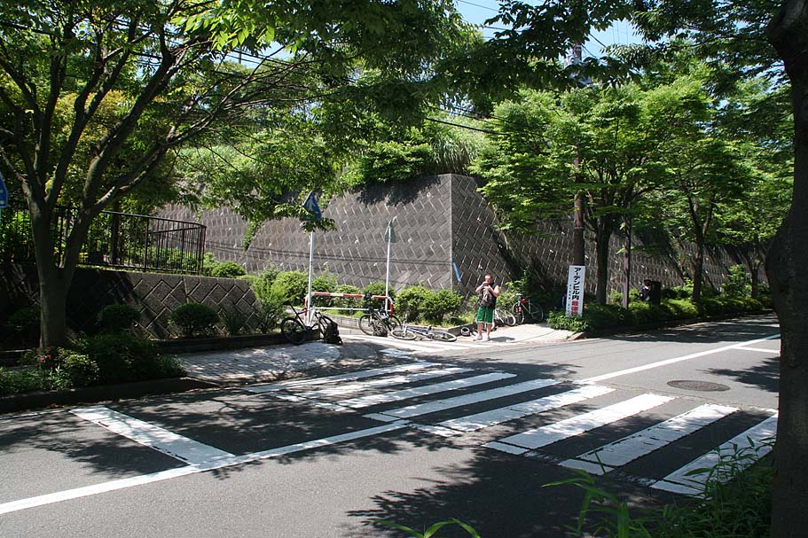
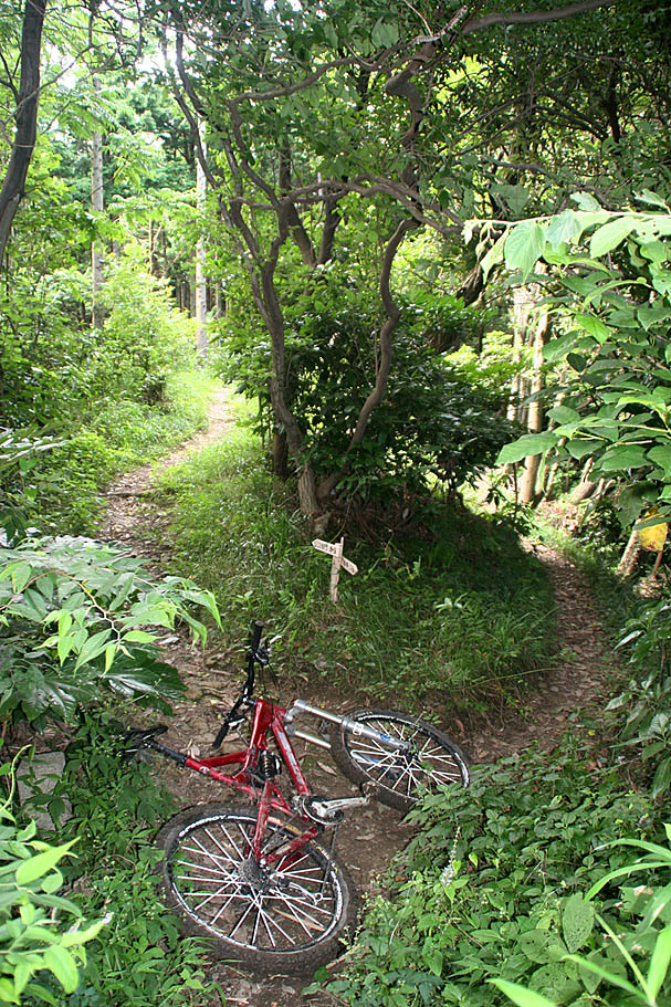
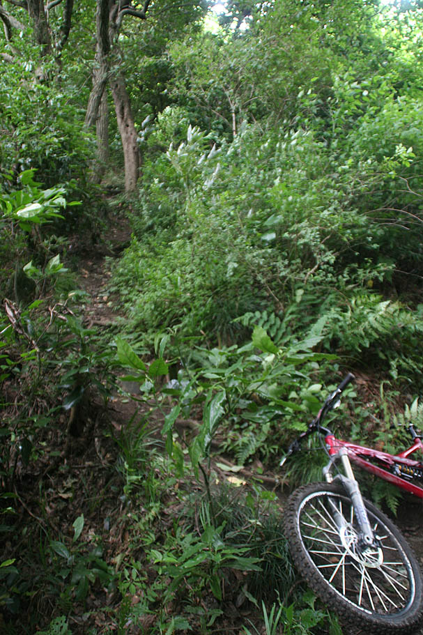
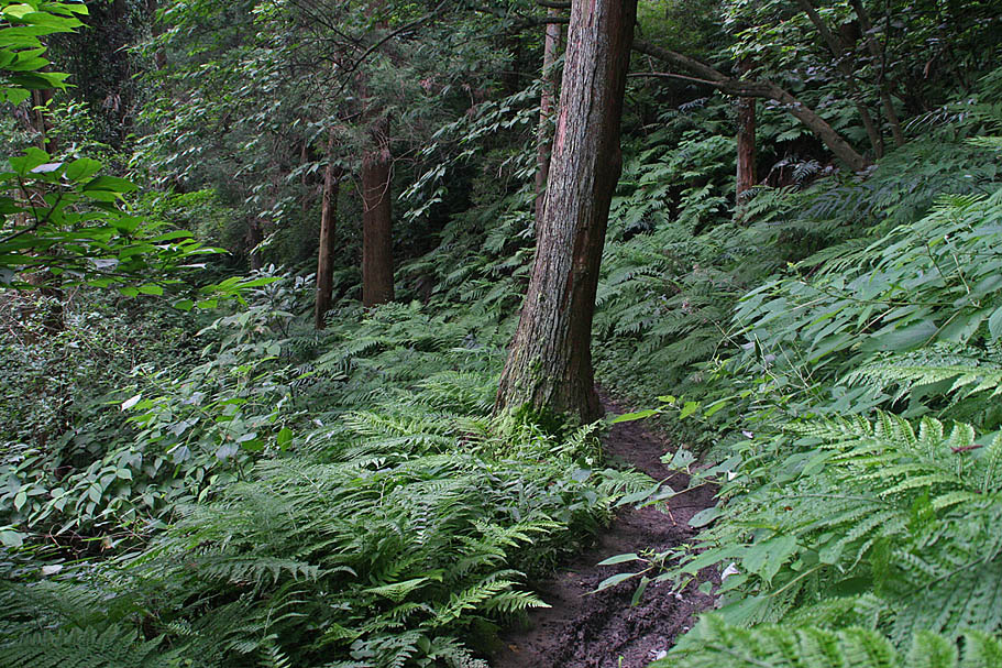
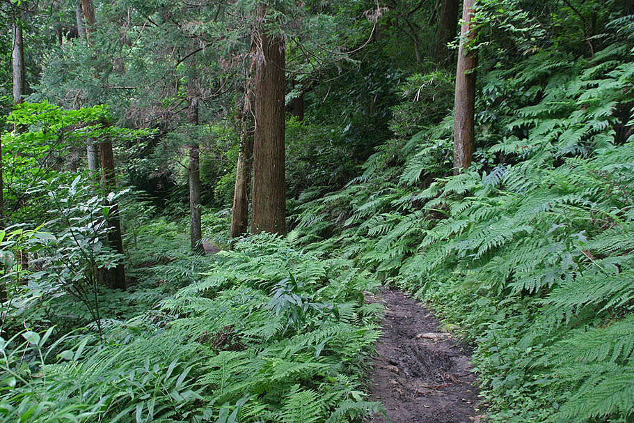
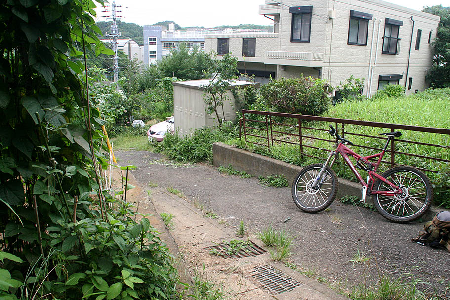
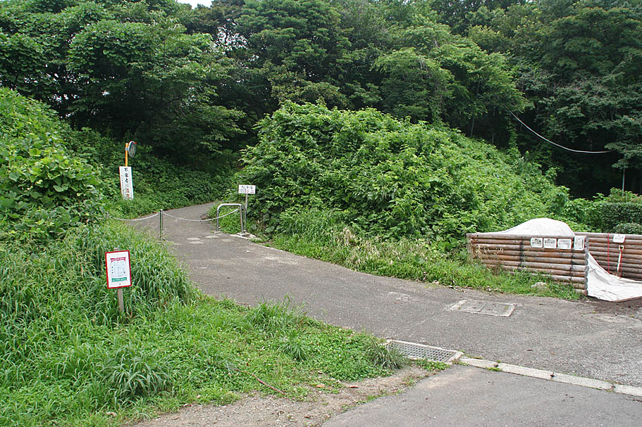
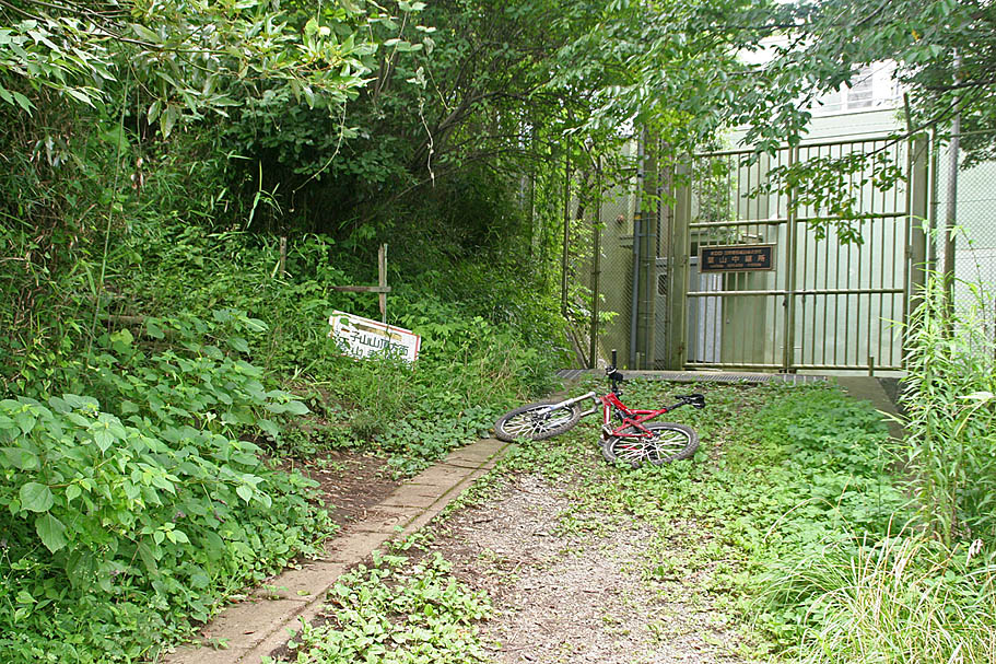
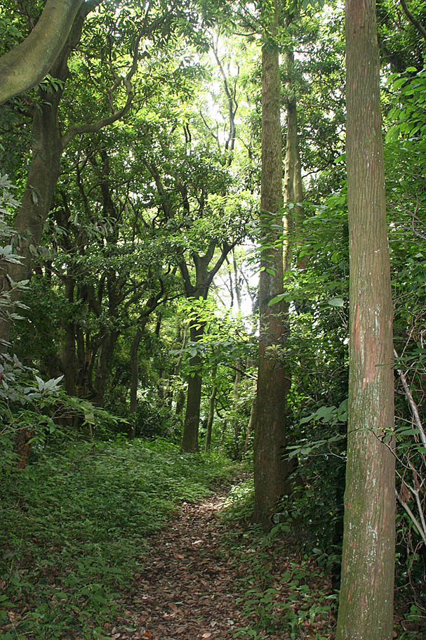
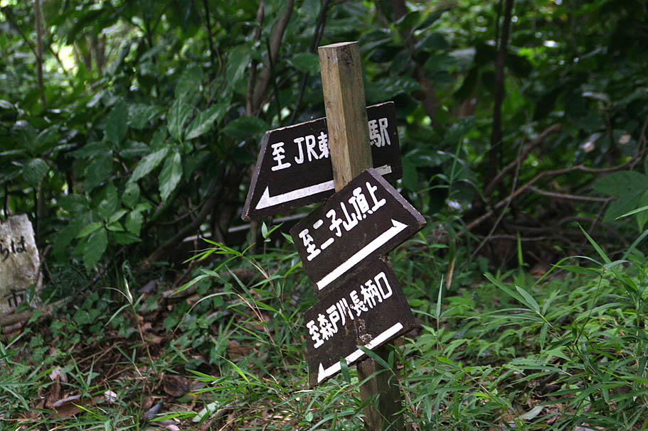
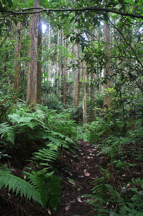
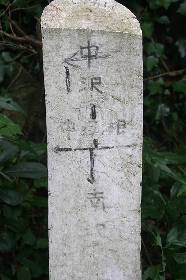
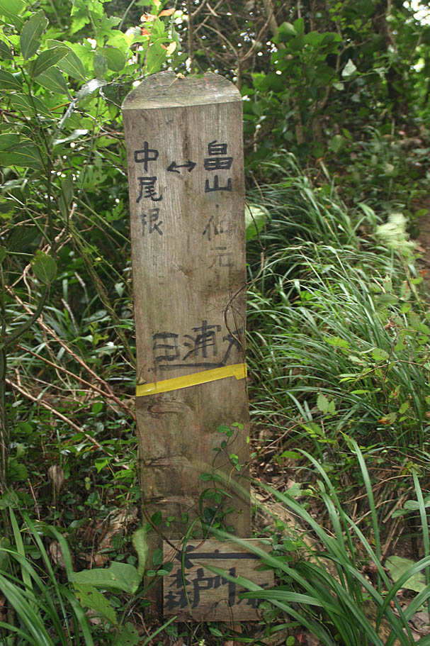
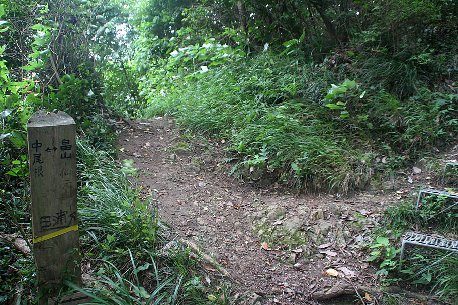
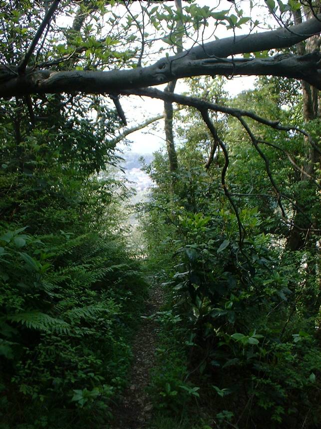
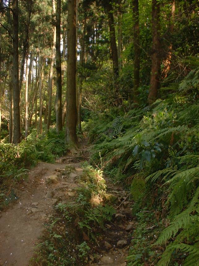
Trailhead GT-01
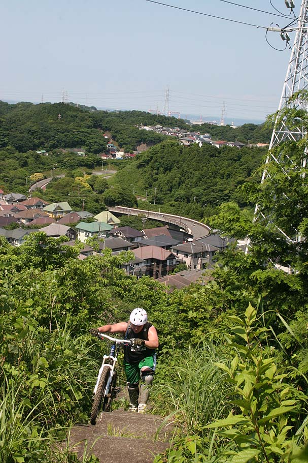
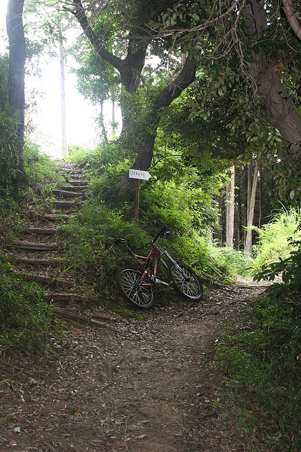
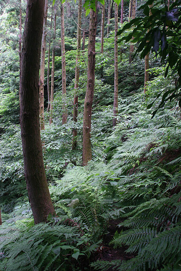
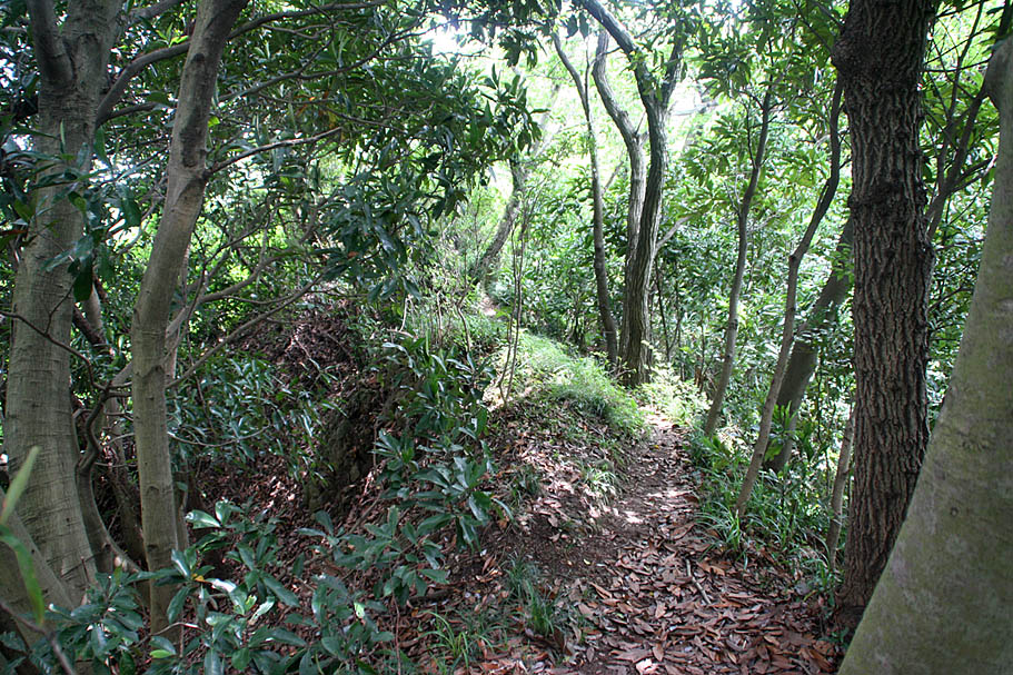
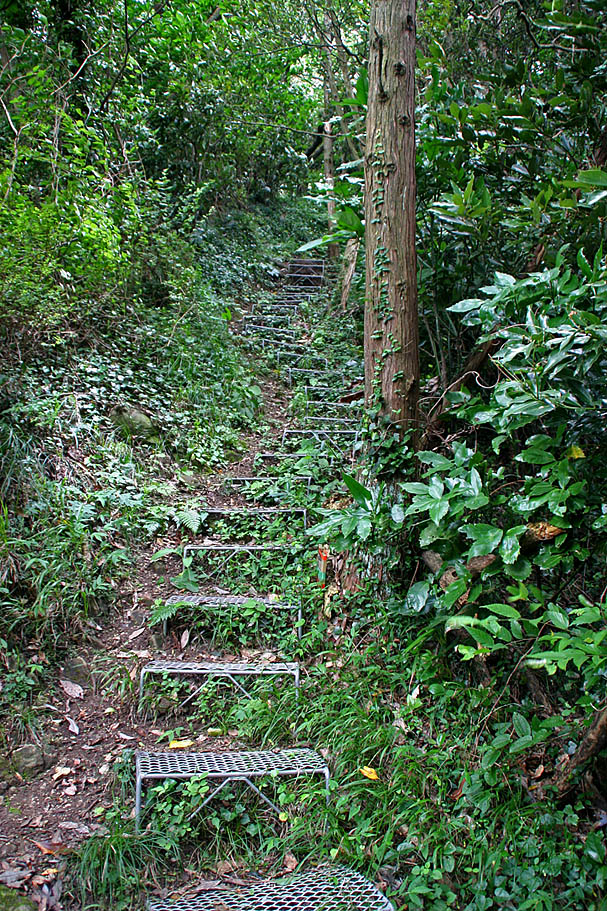
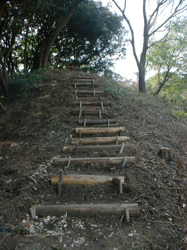
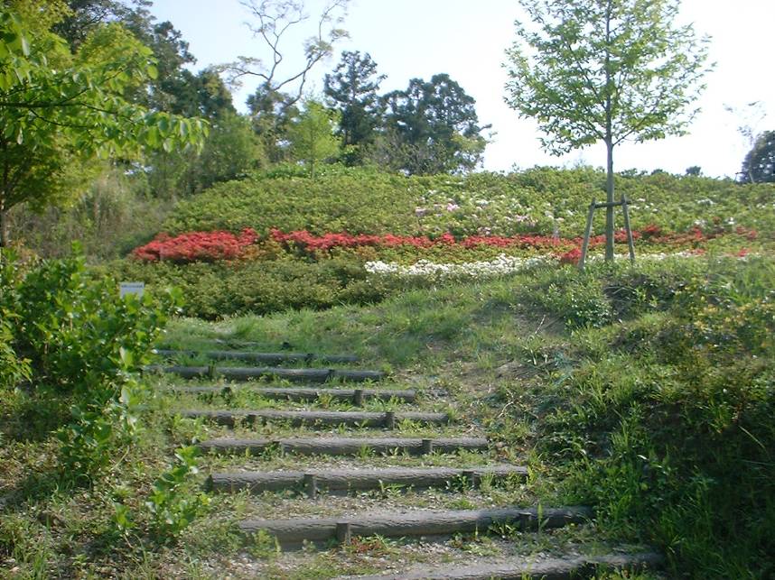
Stairs on way up to GT-03
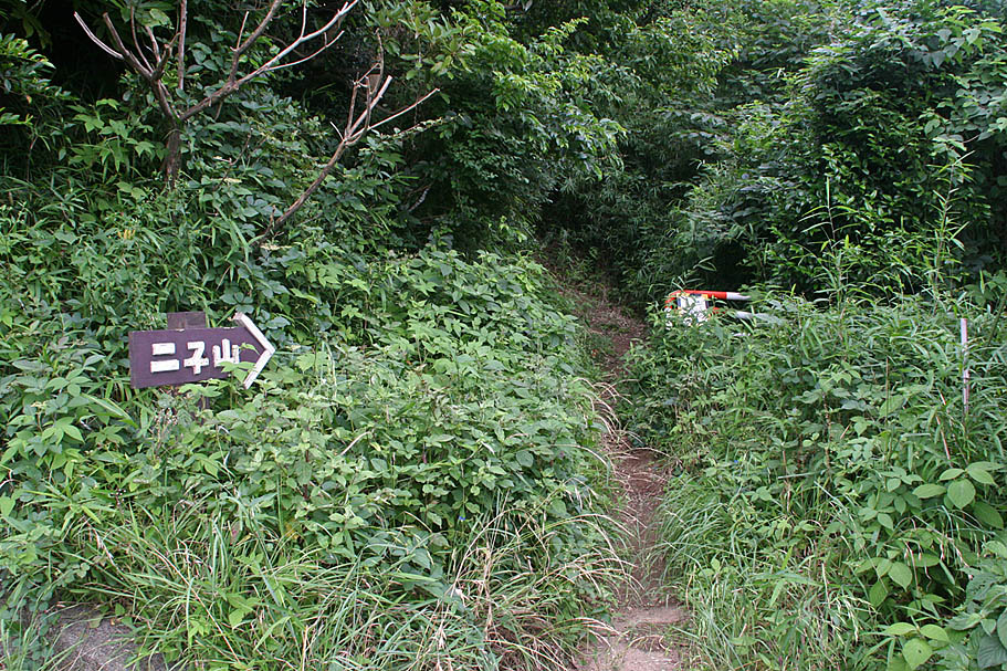
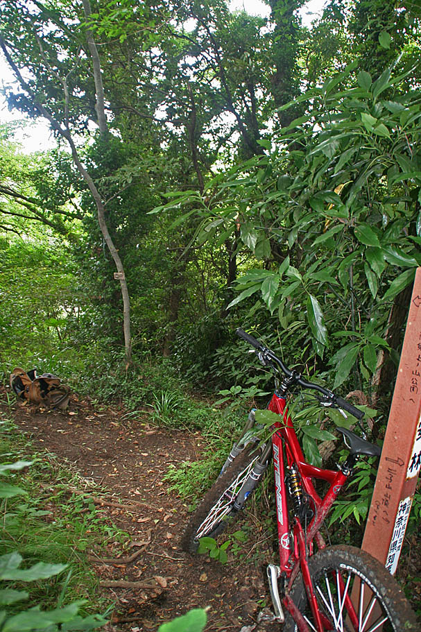
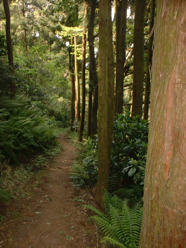
GT-03 (Left)
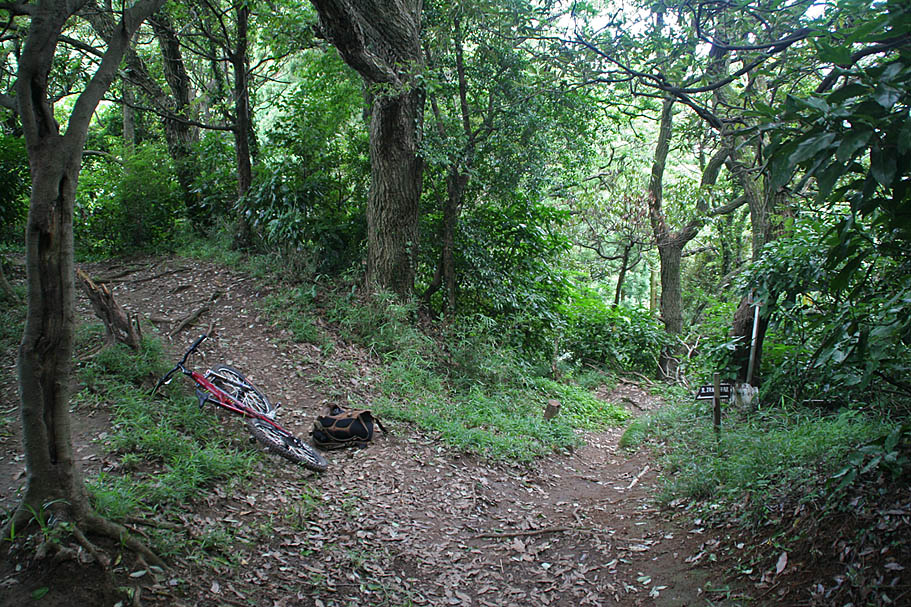
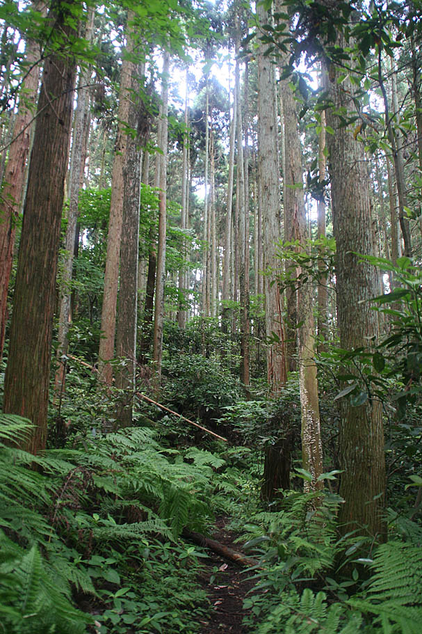
GT-04 (Straight)
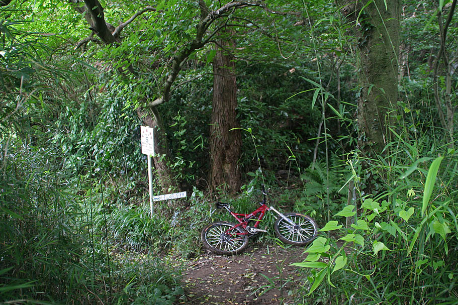
GT-05 (Right)
GT-06 (Left)
GT-07 (Left)
At GT-07 (Going to the right will take you south to GT-43)
At GT-07, the way you came from

GT-08 (Left)
GT-09 (Right)
GT-11 (Straight)

GT-12 (Straight)
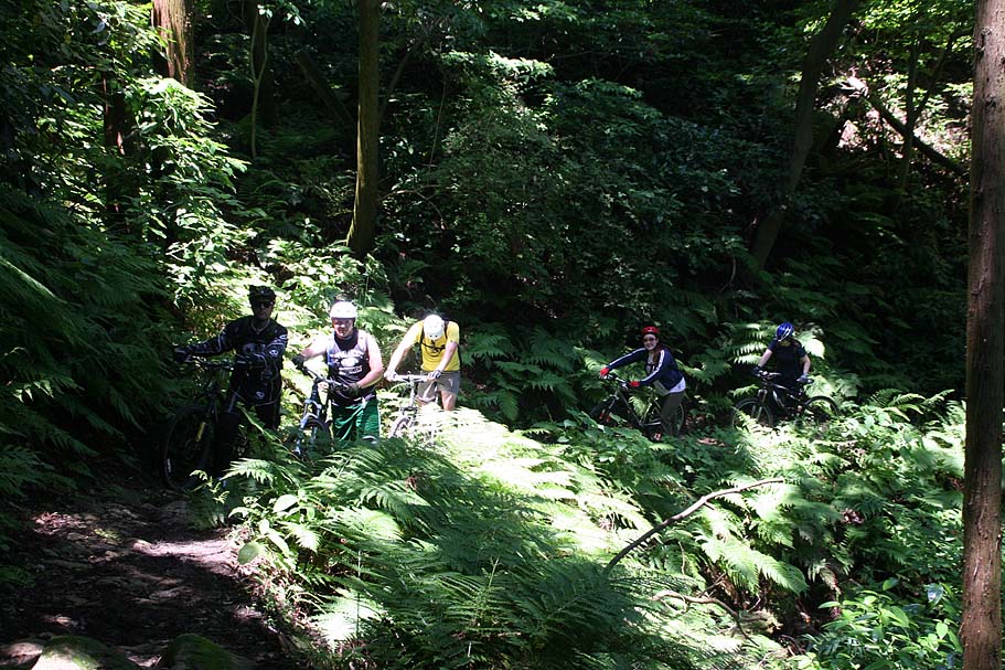
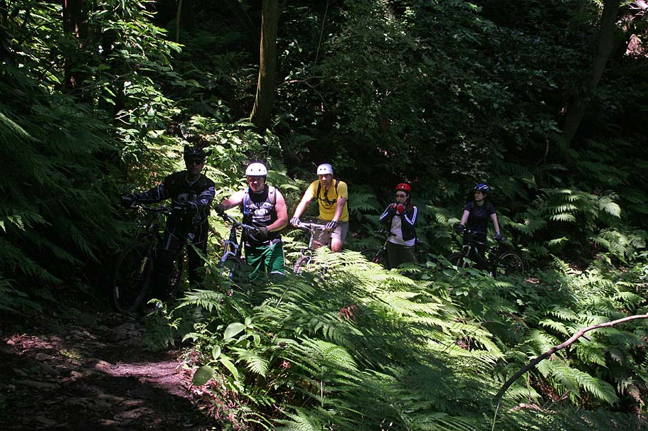
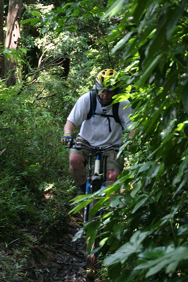
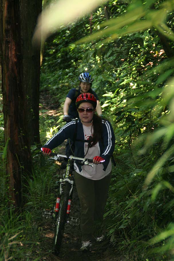
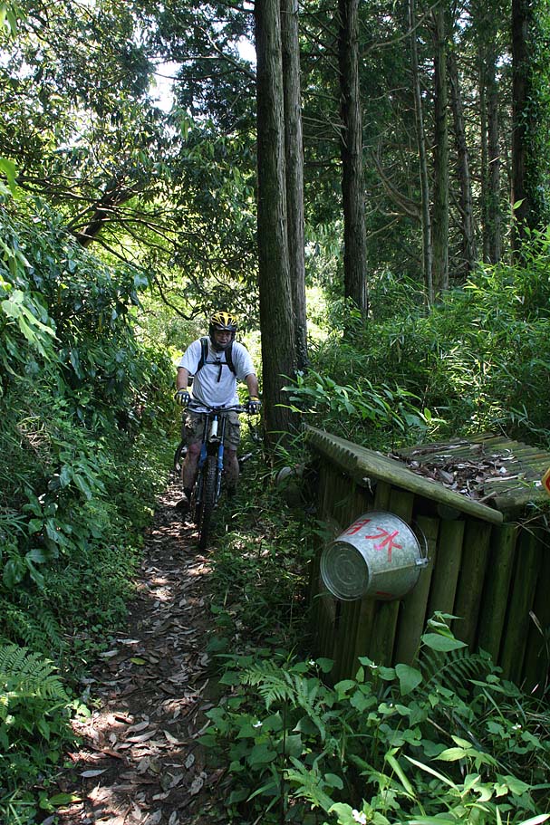
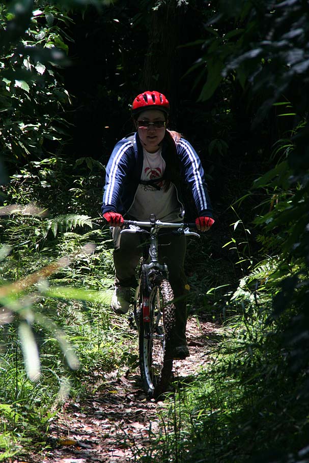
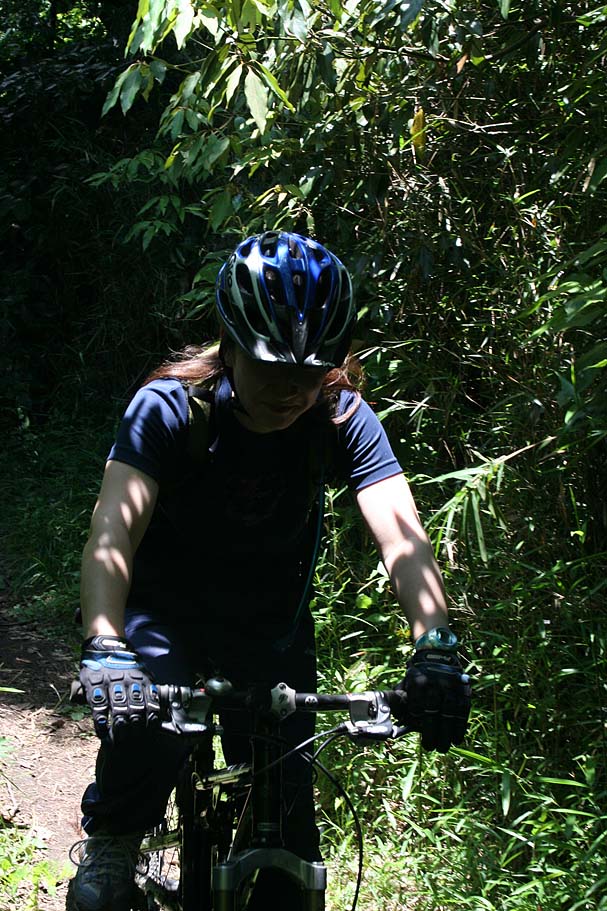
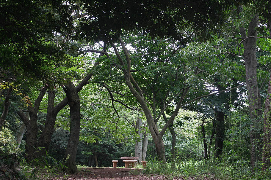
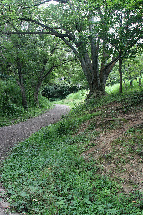
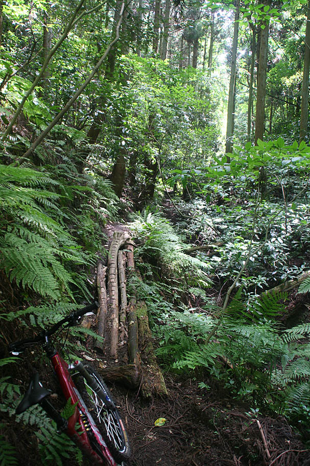
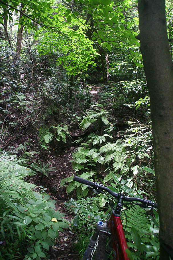
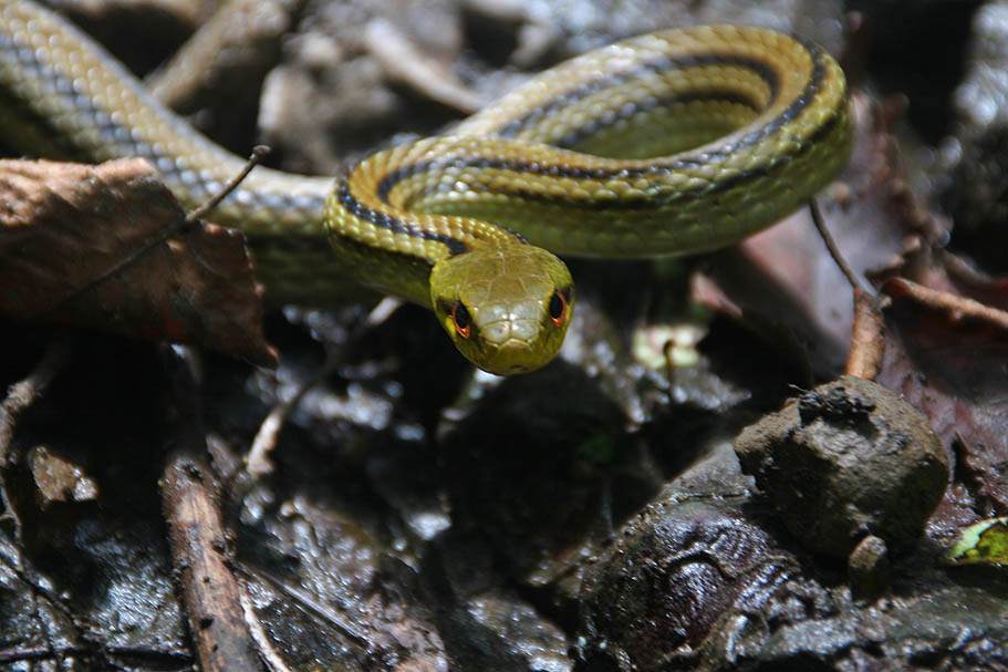
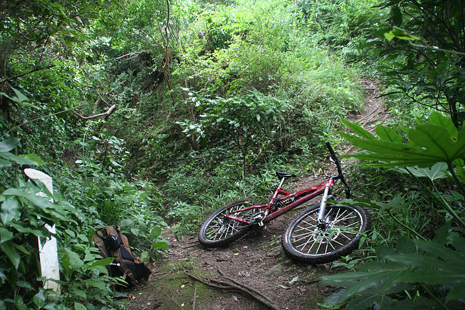
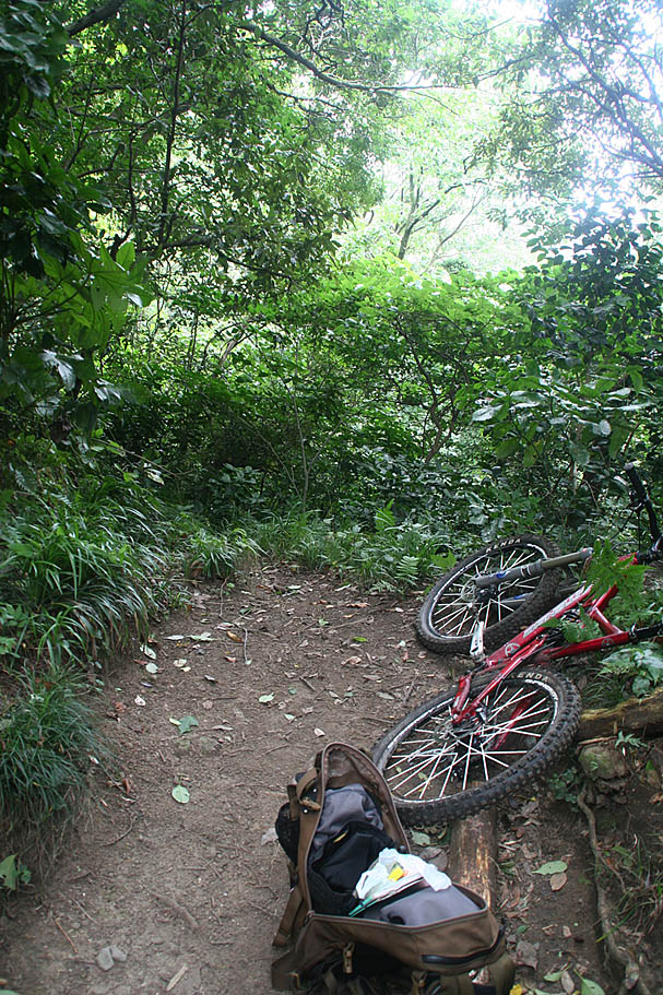
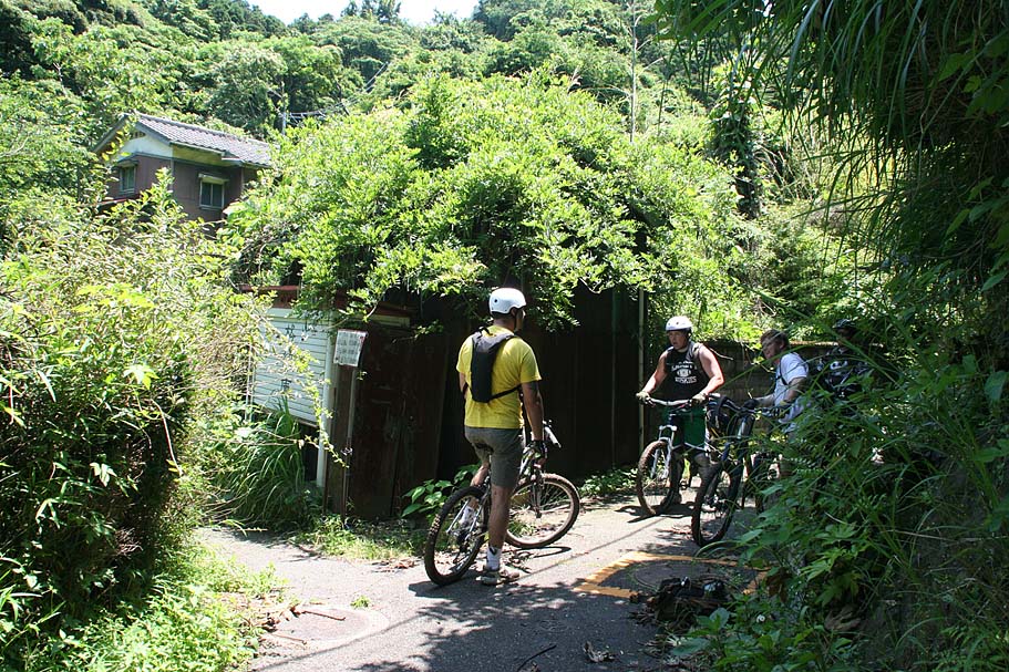
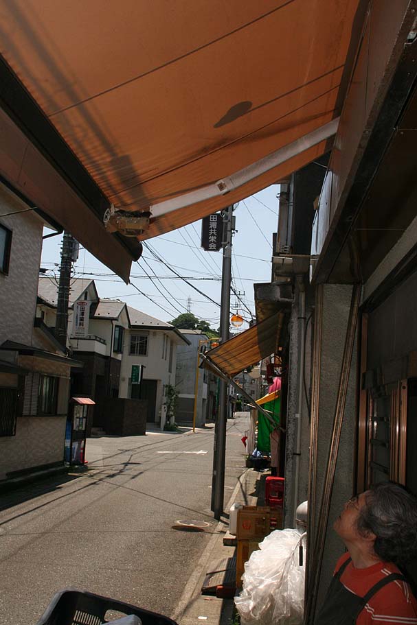
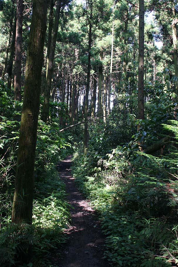
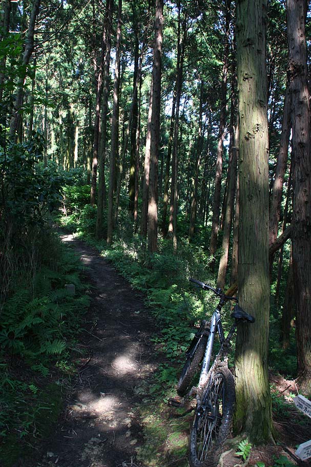
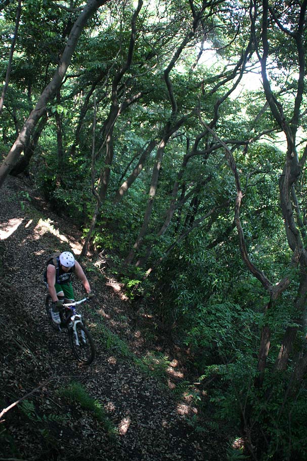
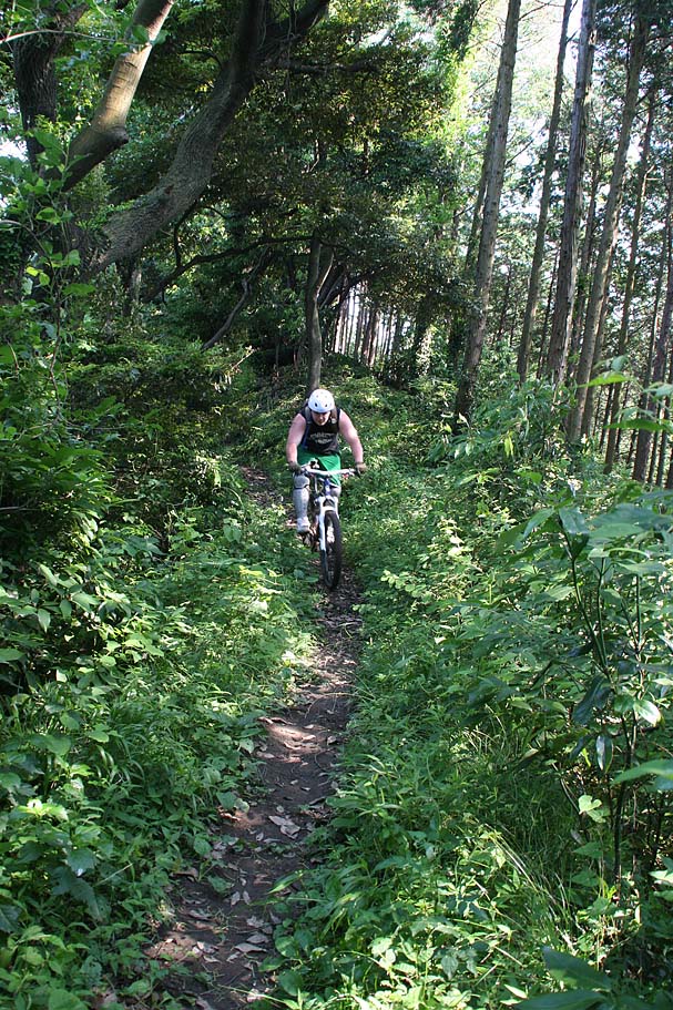
Pictures from ride at Fugato-yama on June 7th, 2009
River Figure 8 Route
This is an excellent route. Combines the traditional route with a drop into "The Bowl", a bit of hike-a-biking followed by a long singletrack along the river that is mostly a mild dowhill grade.. From there you will street connect back into the Fugato-yama peak fireroad. After climbing to the peak you will connect back up with the traditional route for some fun downhilling back to highway 16.
GT-01 to GT-06. At GT-06 contiue straight into bowl. At the trail intersection at GT-40 go right and then hang a quick left. Cross the creek and get ready for a bit of hike-a-biking up to saddle at GT-50 continue down the other side of the saddle down to GT-51. From there you will hang a right and proceed downstream where the trail get progressively easier until it is an old road. The trail ends at GT-53. From there you will follow the dirt then paved road downhill to GT-54 on Highway 311. Turn right (east) and follow the highway until you get to GT-24. From there take the foot bridge and pick up the road going uphill to the south up to the Nangou-Kaminoyama park at GT-25.
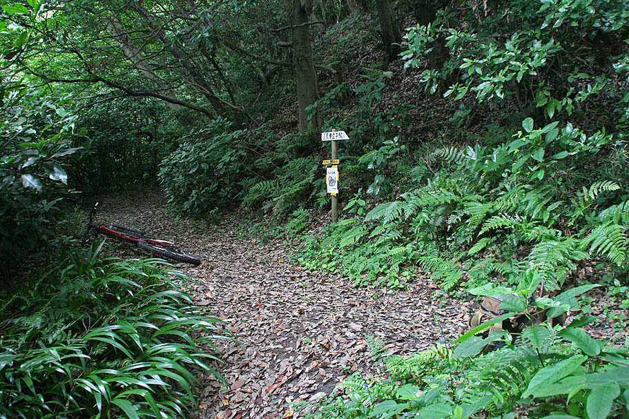
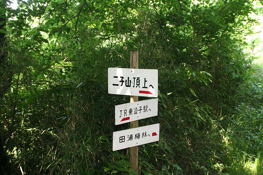
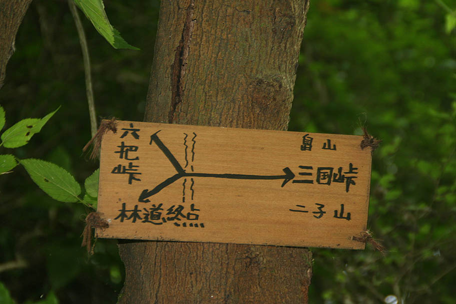
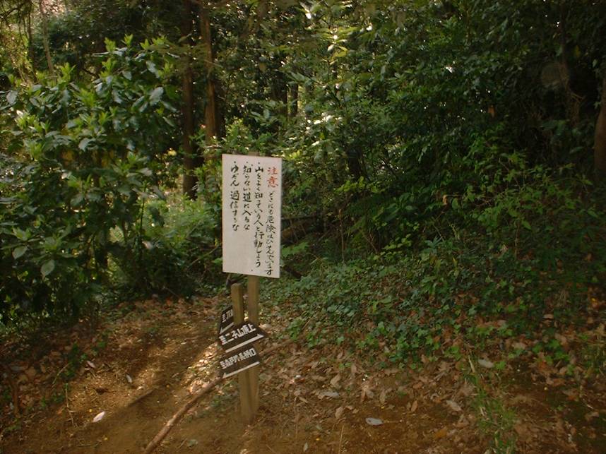
GT-40 intersection
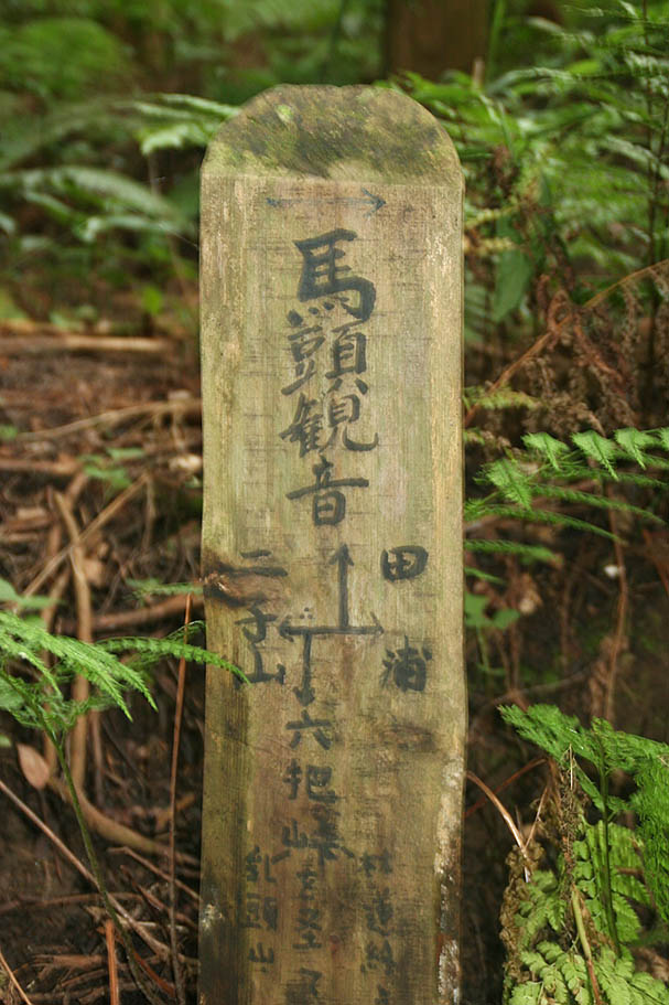
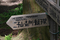
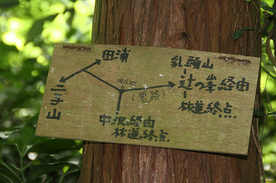
Closeup of the sign at the intersection
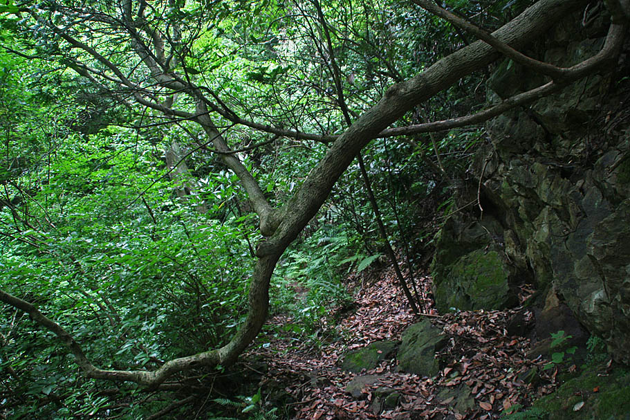
Crossing the creek on your way to GT-50
Still on your way up to GT-50

Sign at the saddle at GT-50
The downhill past the saddle
Tricker than it looks
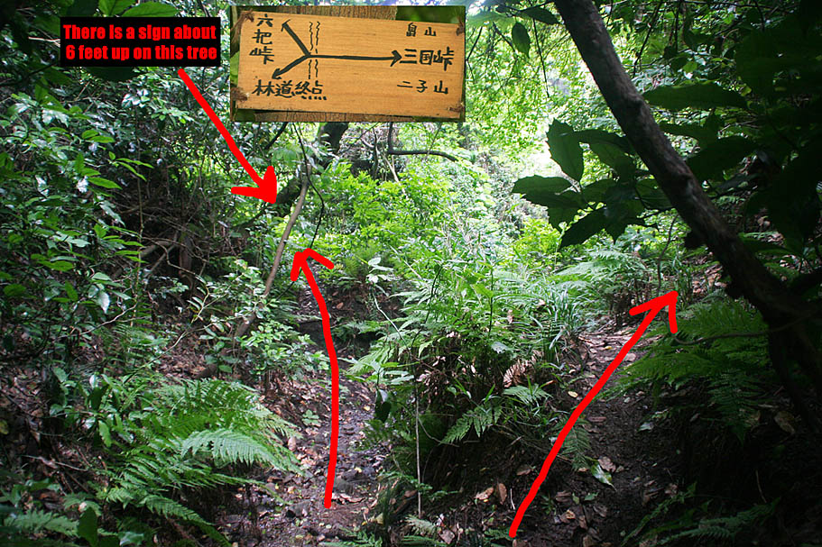
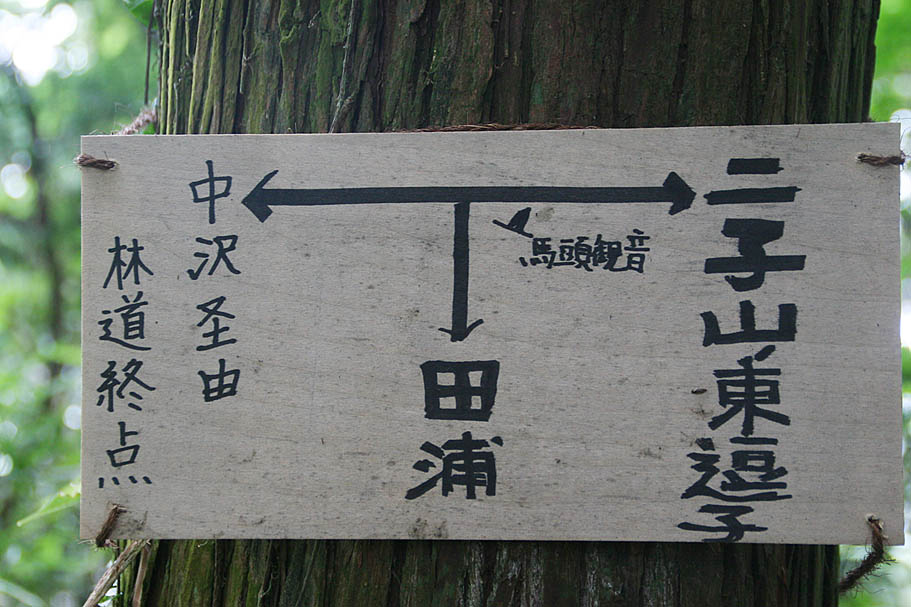
At GT-51 there is a tricky intersection. You will want to go right (west).
Closeup of the sign on the tree at GT-51
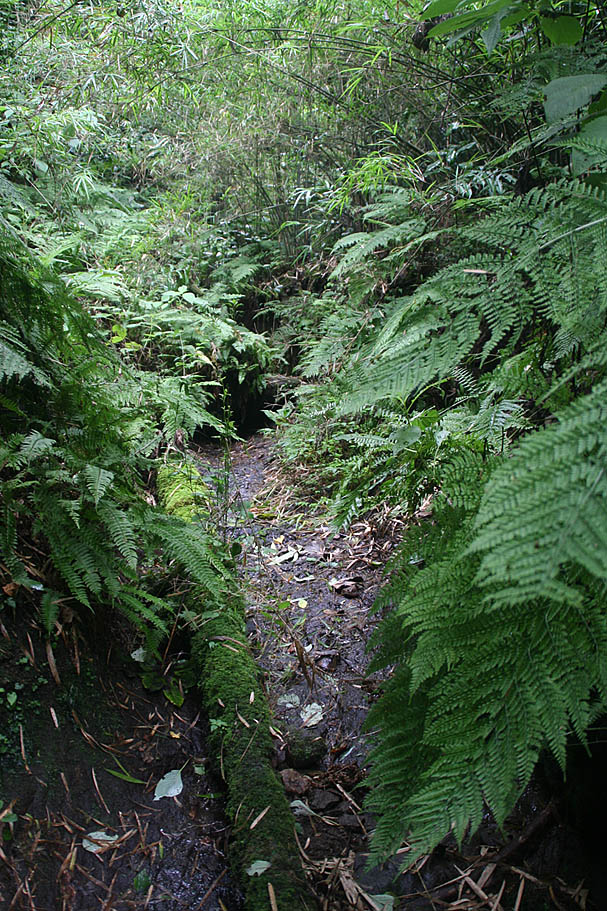
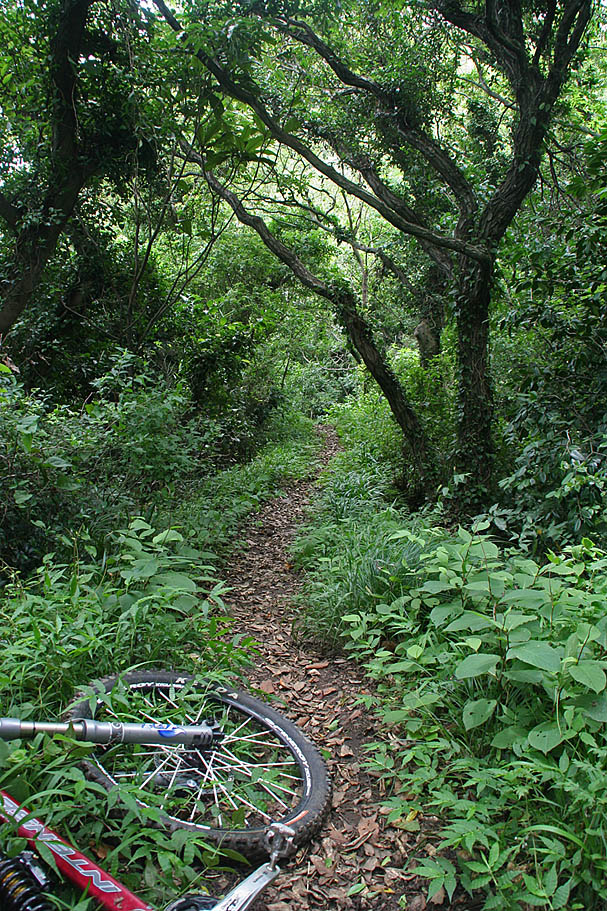
The early parts of the river trail. It widens and gets easier the further downstream you go.
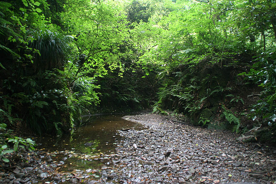
There are a few creek crossings.
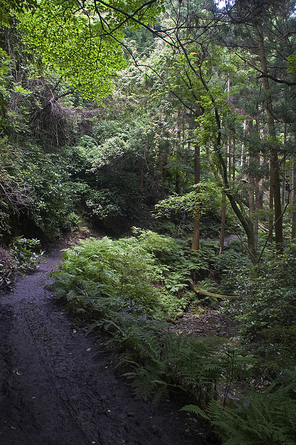
The trail soon become an old road that quickly being reclaimed.
GT-52
Further down the trail before it ends on a dirt road.
You never know what you will see on the street return back to Nangou-Kaminoyama park
The park has vending machines to grab some liquids as well as water fountains to refill your camelbaks. Look for the paved fireroad on the northwest end of the park at GT-26. The lower paved part up to GT-27 is rather steep but then mellows out. Continue up the fireroad to the east past GT-28, GT-29 and onward up to the peak at GT-31. (See the description and pictures of the segment below).
After enjoying the peak head back the way you came but take the singletrack at GT-29. Shortly thereafter bear to your left at the trail junction at GT-30. Follow the trail northeast from here over to GT-04 where you were at earlier. Now continue along the traditional route of GT-04 to GT-15.
Other Trail Segments
Route to Higashi-Zushi Station.
This is a nice trail that will take you from GT-02 to highway 24 by the Higash-Zushi station. This trail can be ridden either direction as can be used as an entrance into the area if you are coming from the west. The only downside to this route is that it goes away from the main riding area which leaves with either having to backtrack on the same trail or loop around on the roads. I describe one of the road connection below. The waypoint route is GT-03 to GT-16, GT-17, and then dropping out onto a street at GT-18.
GT-03 (Right)
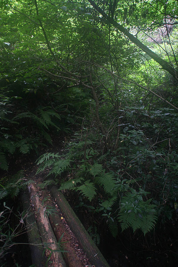
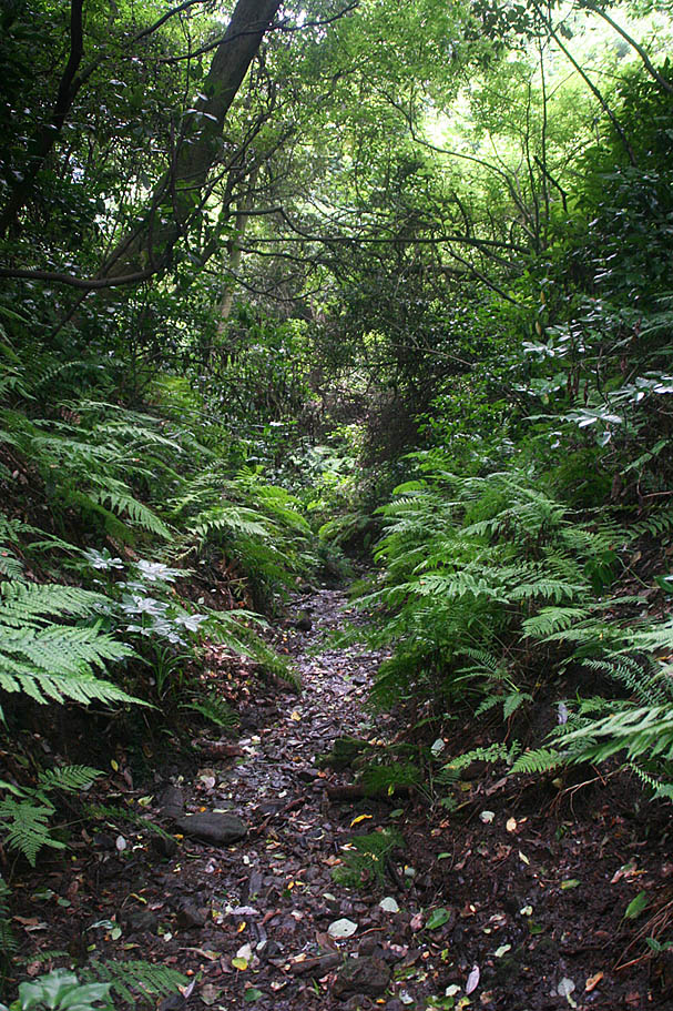
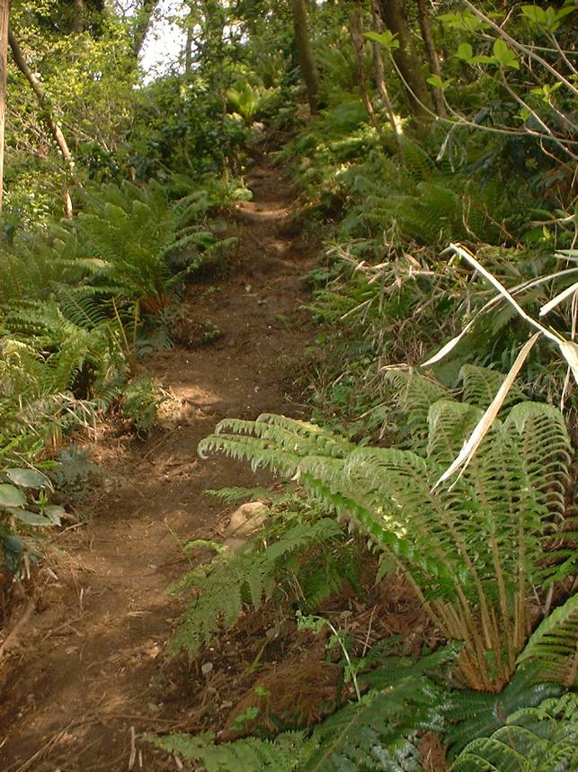
Along the trail
More trail goodness
GT-17
GT-18 (Looking into Trail)
GT-18 (Looking from trail onto street)
GT-19 After following downhill streets you come out here.
GT-19 Another view of where you intersection the street
Road connect to Nangou-Kaminoyama park
GT-20 - Left and start up the hill
Hill climb between GT-20 and GT-21
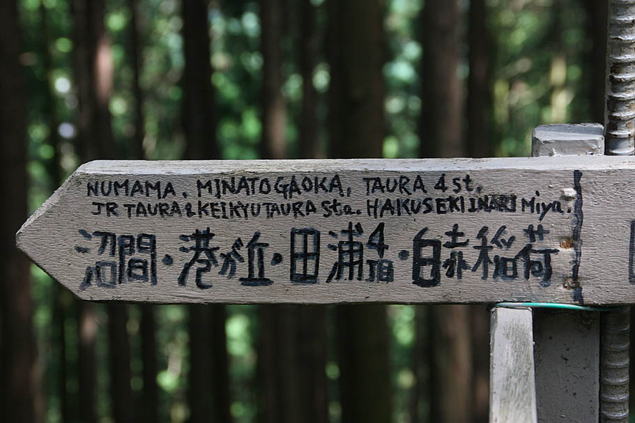
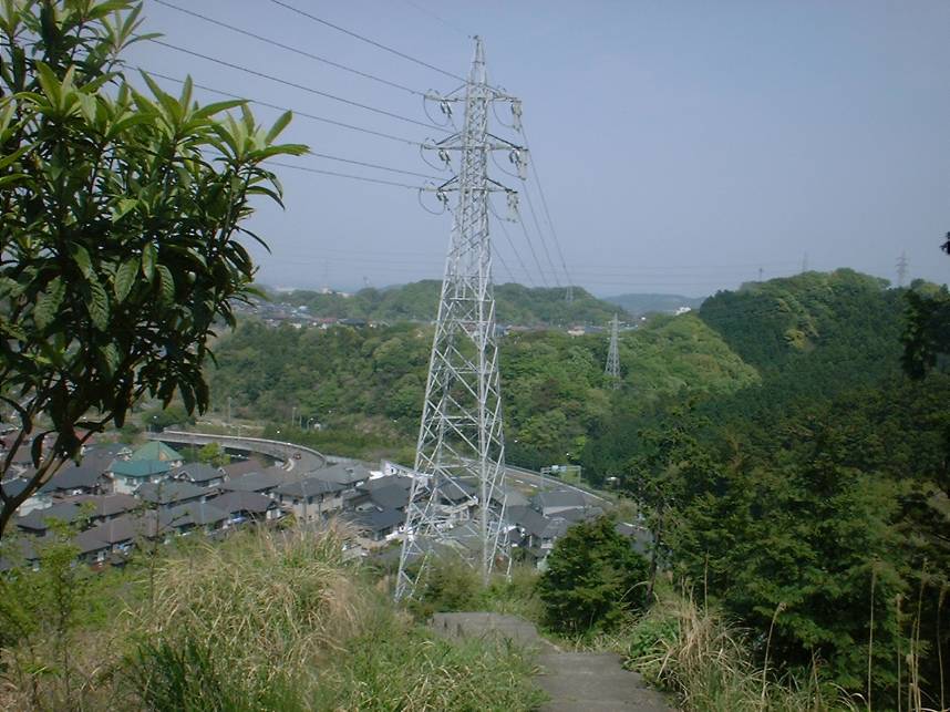
GT-24 - You want to go over the bridge in the middle of the picture.
Approaching the park GT-25
GT-26 - The fireroad entrance to get to the peak.
Fireroad climb from Nangou-Kaminoyama park to Fugato-yama peak
GT-25 to GT-29 and then onward to GT-31
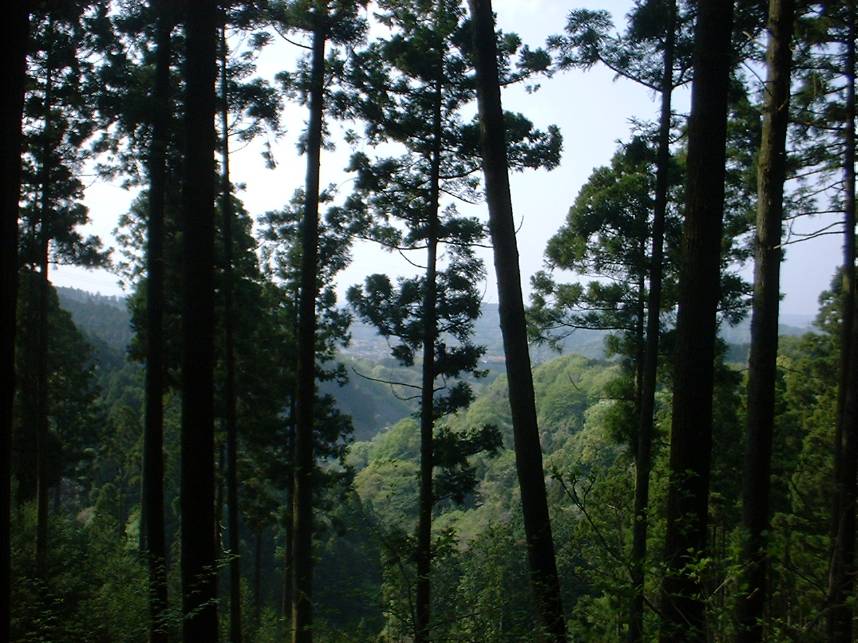
The first section is steep but soon mellows out at GT-27
Some easy ridgetop riding.
Where you are headed to.
GT-29 - This singletrack connects up with the main riding area.
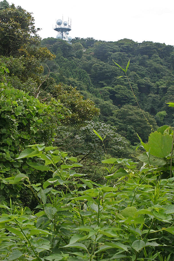
Top of the fireroad at the radio towers. Take the stairs up to the actual peak.
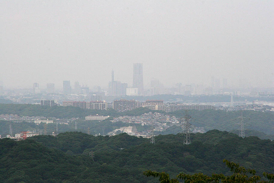
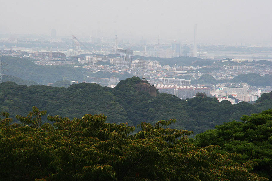
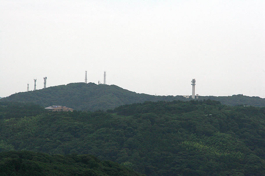
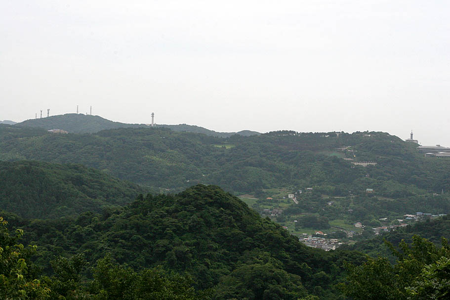
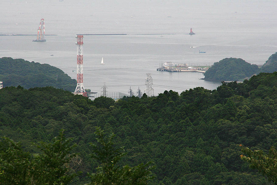
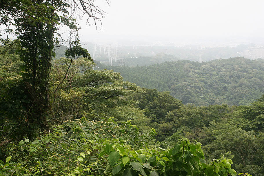
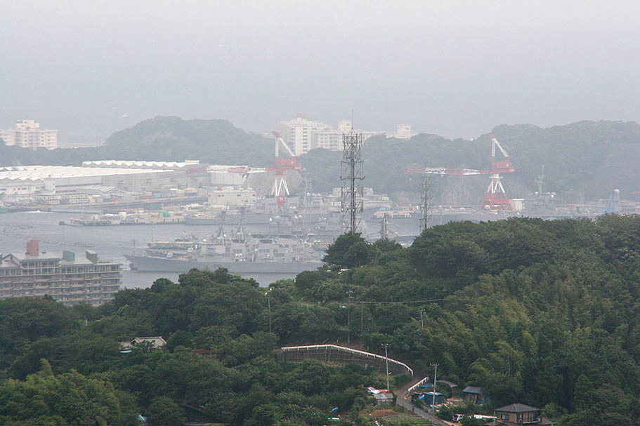
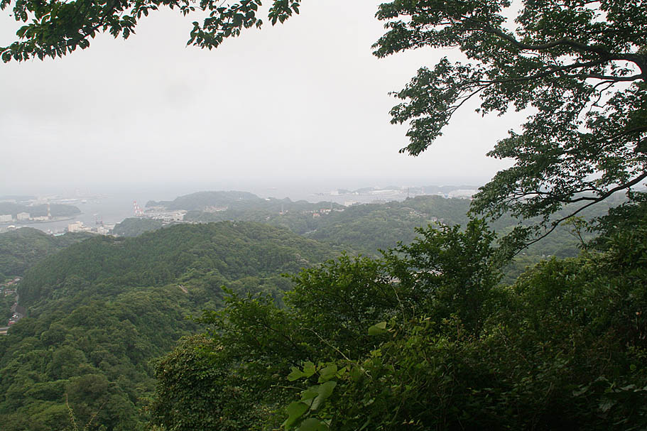
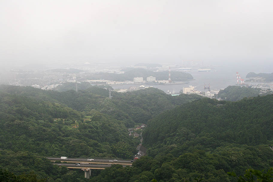
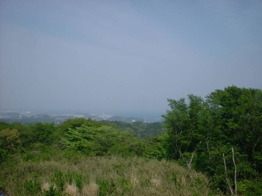
Views from the top of Fugato-yama peak. (GT-31)

The brutalness between along the GT-31 to GT35 and then back down to GT-25 should you choose to continue to the west past the Fugato-yama peak.
Fugato-yama Peak Out and Back Add-on
Here is a nice out and back out to the Fugato-yama peak. When you get to GT-04, turn right and head south. When you get to GT30 continue uphill from the trail junction where you quickly come out onto a fireroad at GT-29.. From there follow the fireroad up to peak at GT-31. After checking out the peak, retrace your back to GT-04 and then continue along the traditional route
Additional Areas
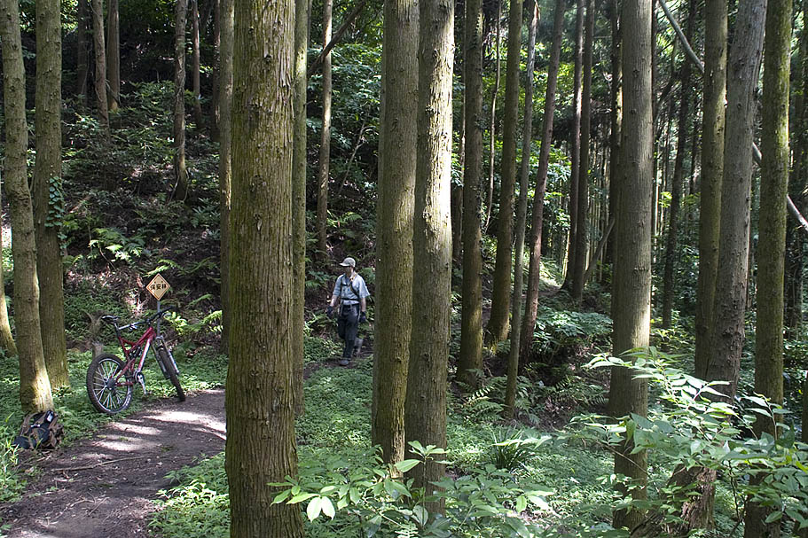
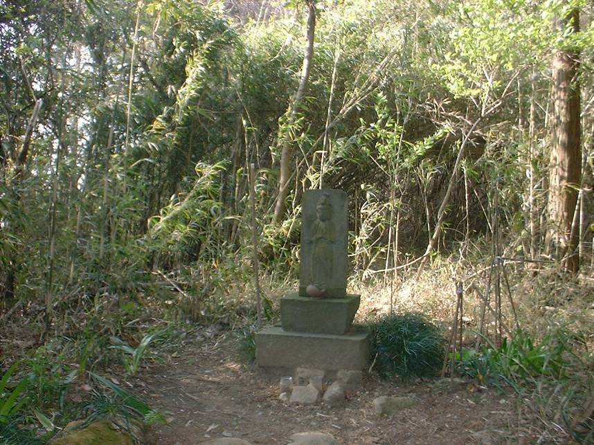
Near GT-43
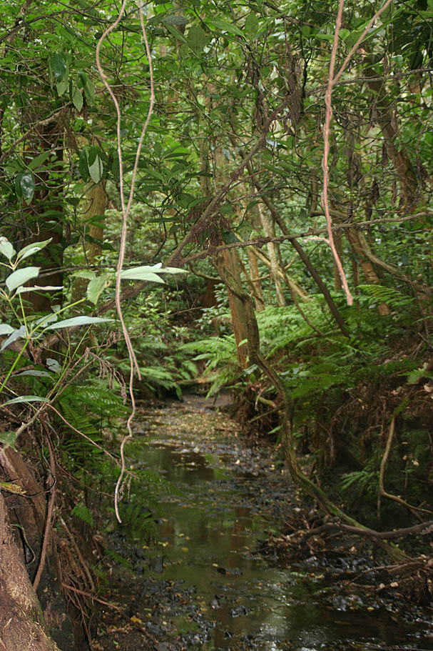
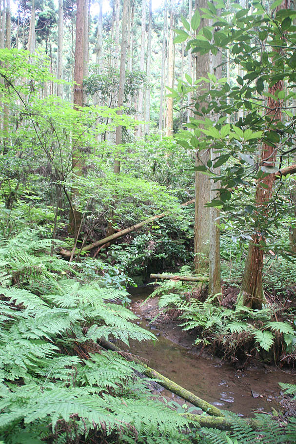

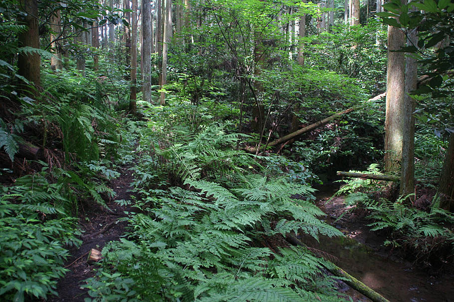
Views from down in the "Bowl"

Between GT-42 and GT-43
Seen near GT-45
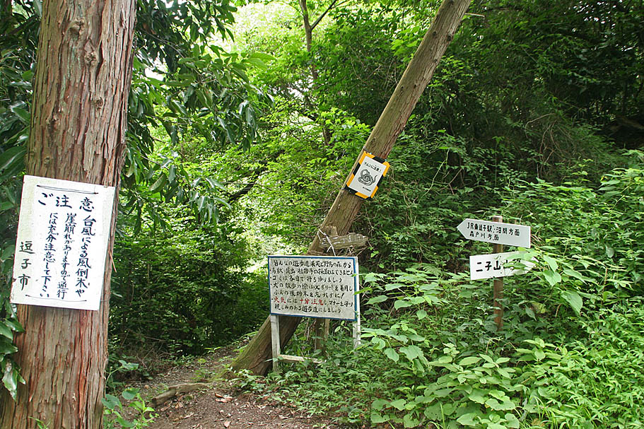
GT-46
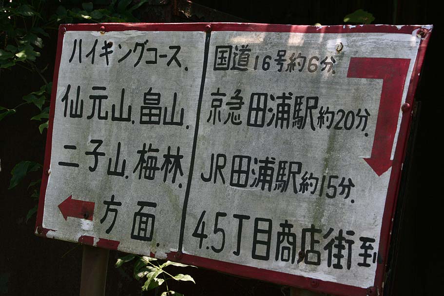
Sign at GT-46
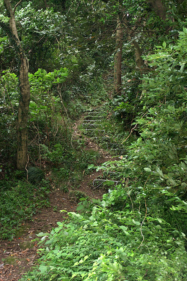
Steps near GT-47
Sign at GT-47
GT-47
Steps to GT-48
Views from GT-48
Views from GT-48
Views from GT-48
Near GT-46
Near GT-49
At GT-50

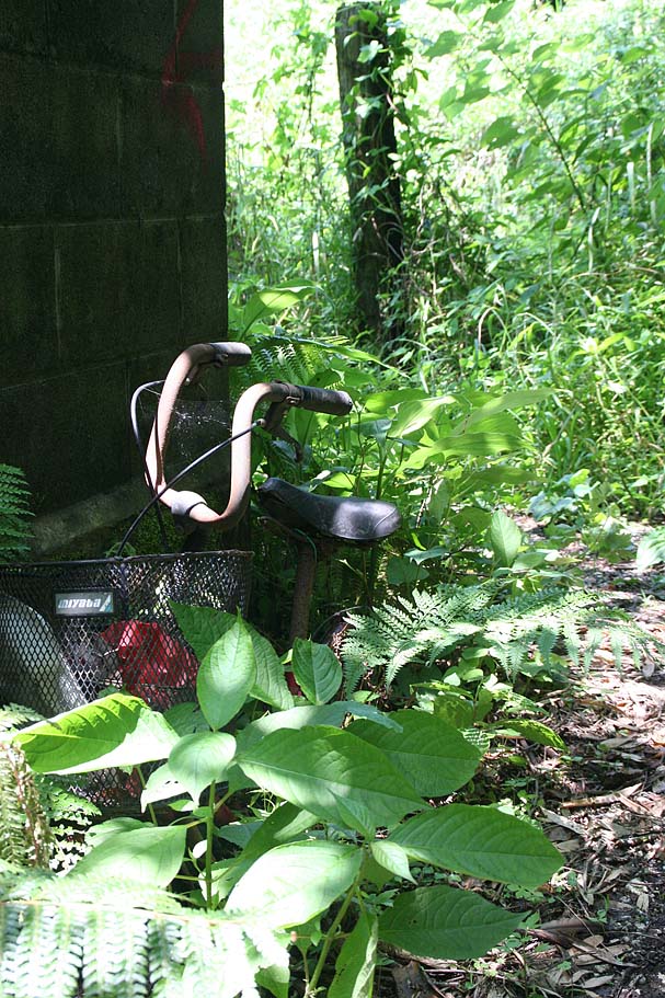
Pictures around Ghostown around GT-55 and GT-66
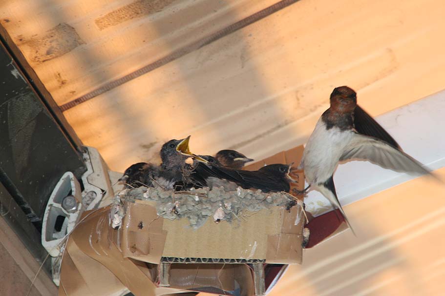
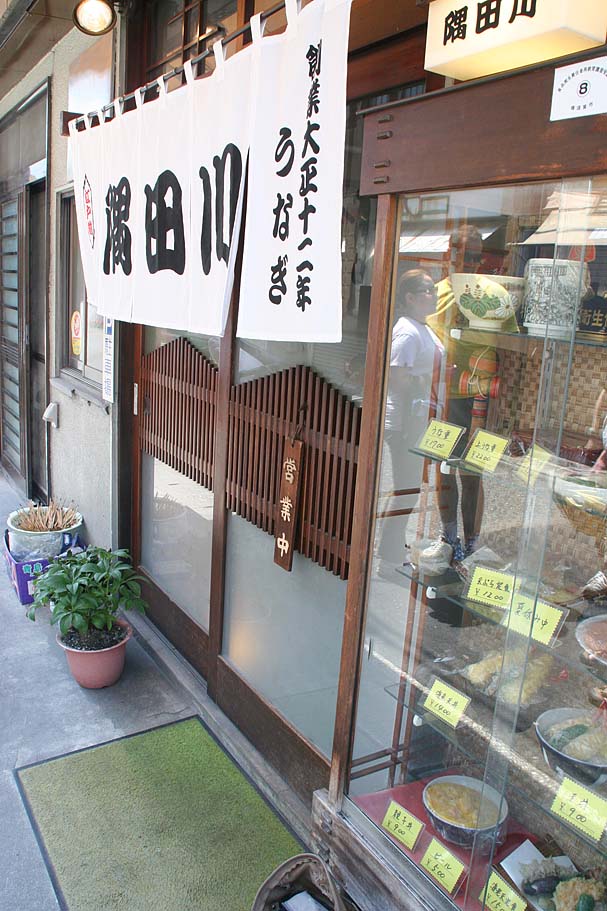
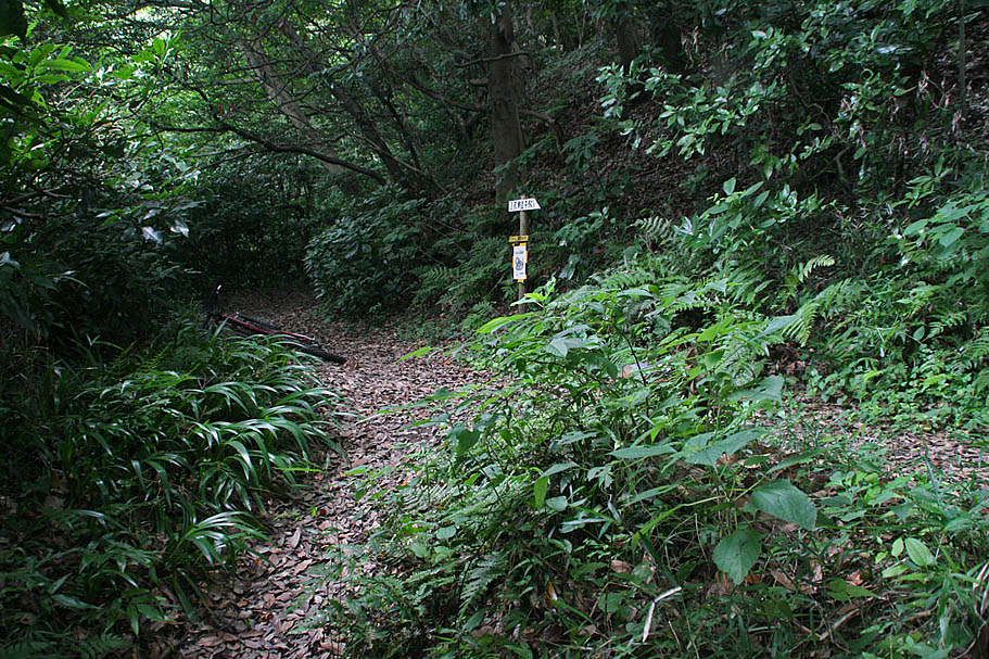
The mighty yummy Mom and Pop resturant at GT-57. Make sure to see if the swallows are into town while there.
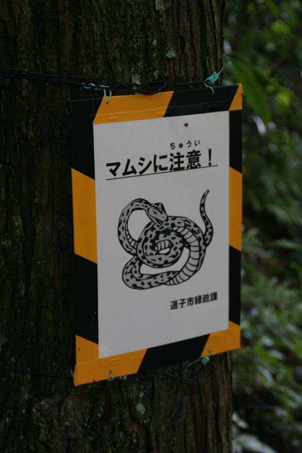
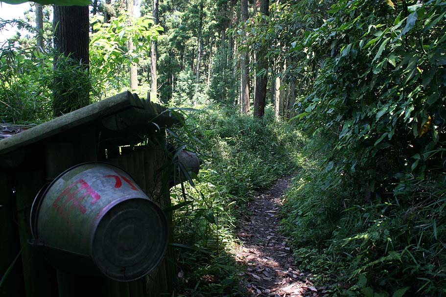
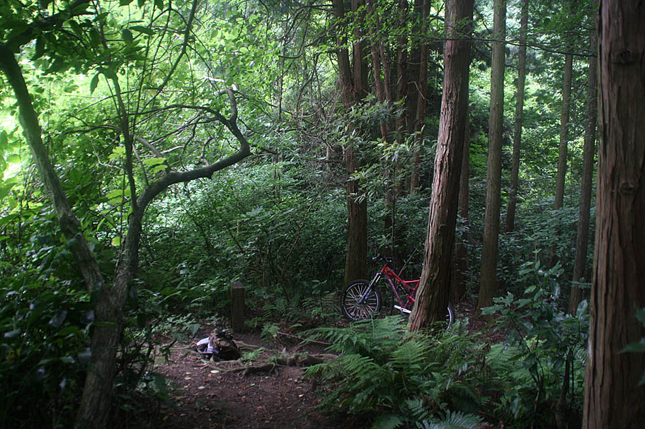
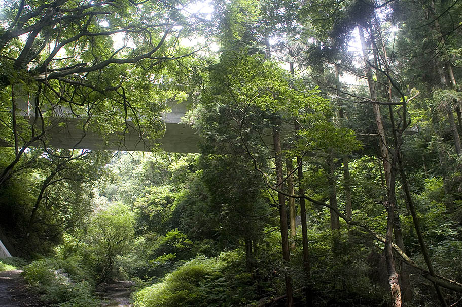
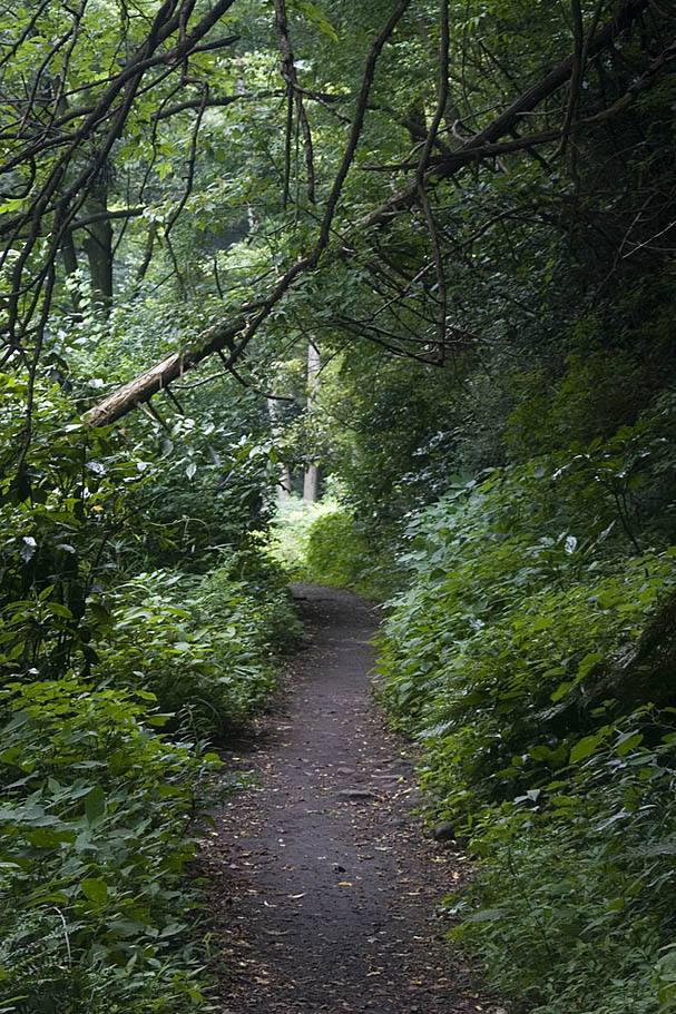
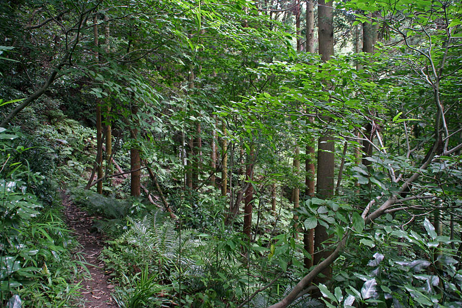
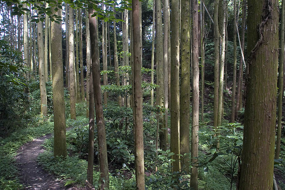
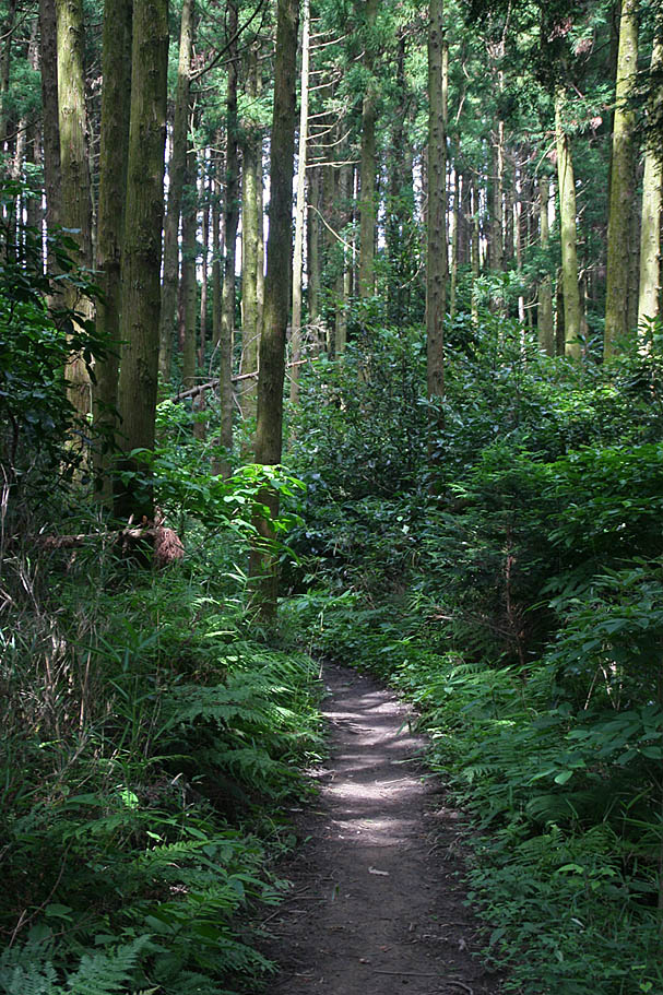
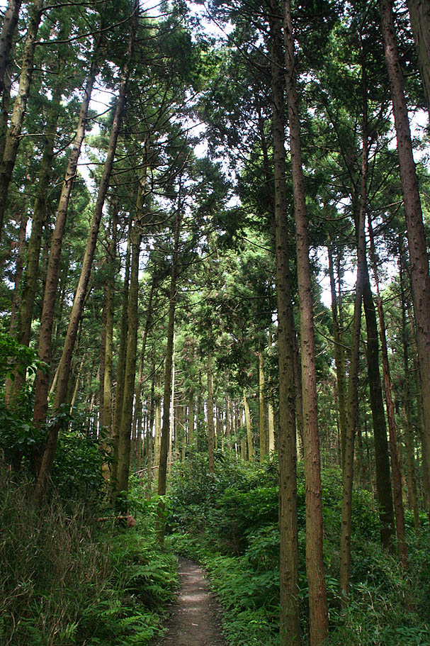
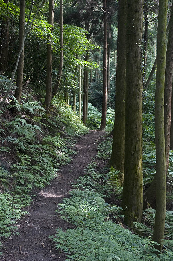
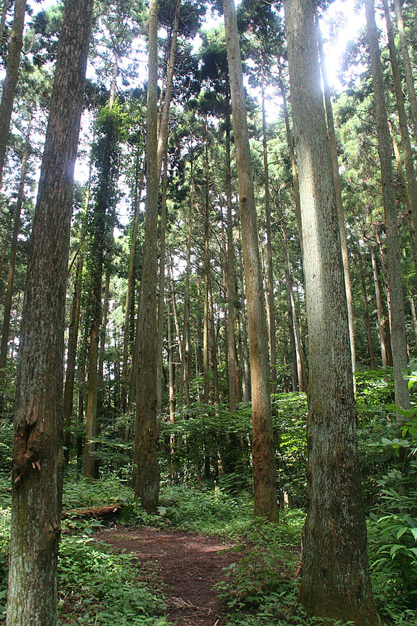
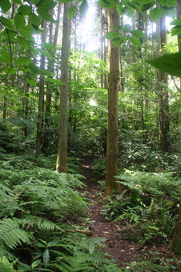
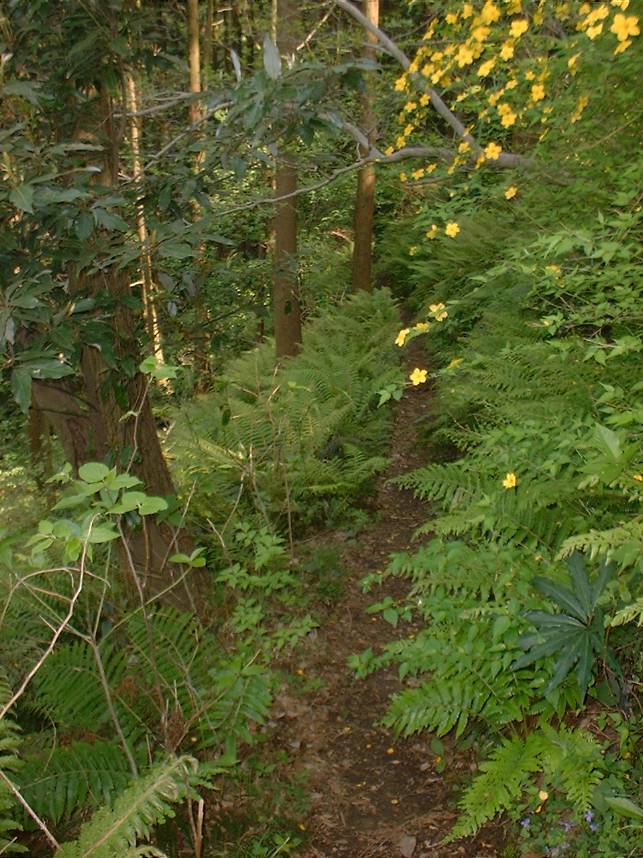
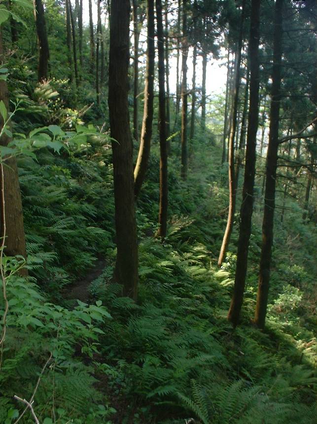
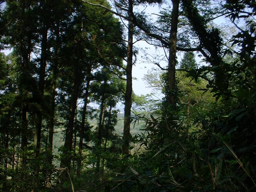
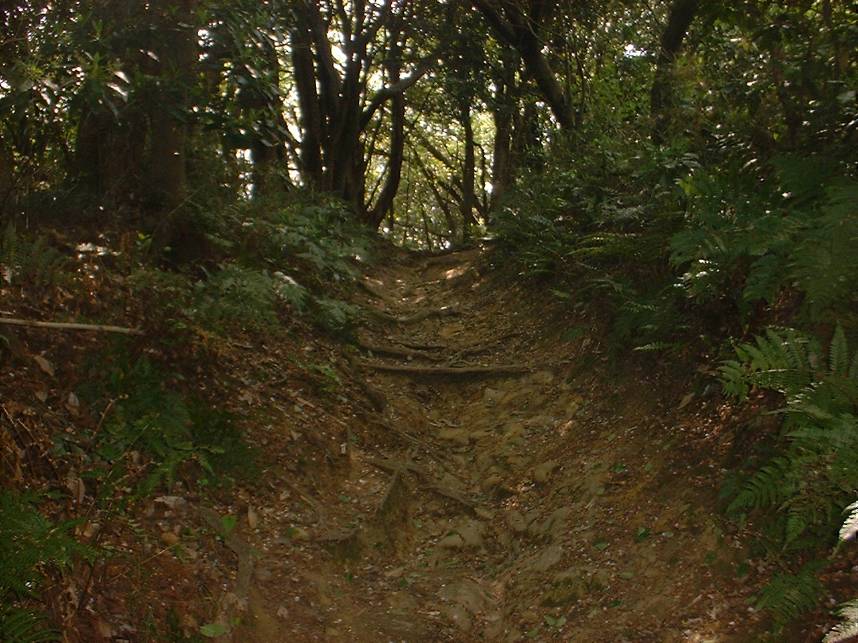
More pictures from along the traditional route
Photos from my 2004 visit


VIDEO
This video shows some of the highlights of a days play on the trails of Fugato Yama (aka Ghost Town) and Takatori located on the Muira Pennisula of Japan. It was shot in 2004. Right Click on the image to the left to download 30MB video that runs 5:35 minutes.