
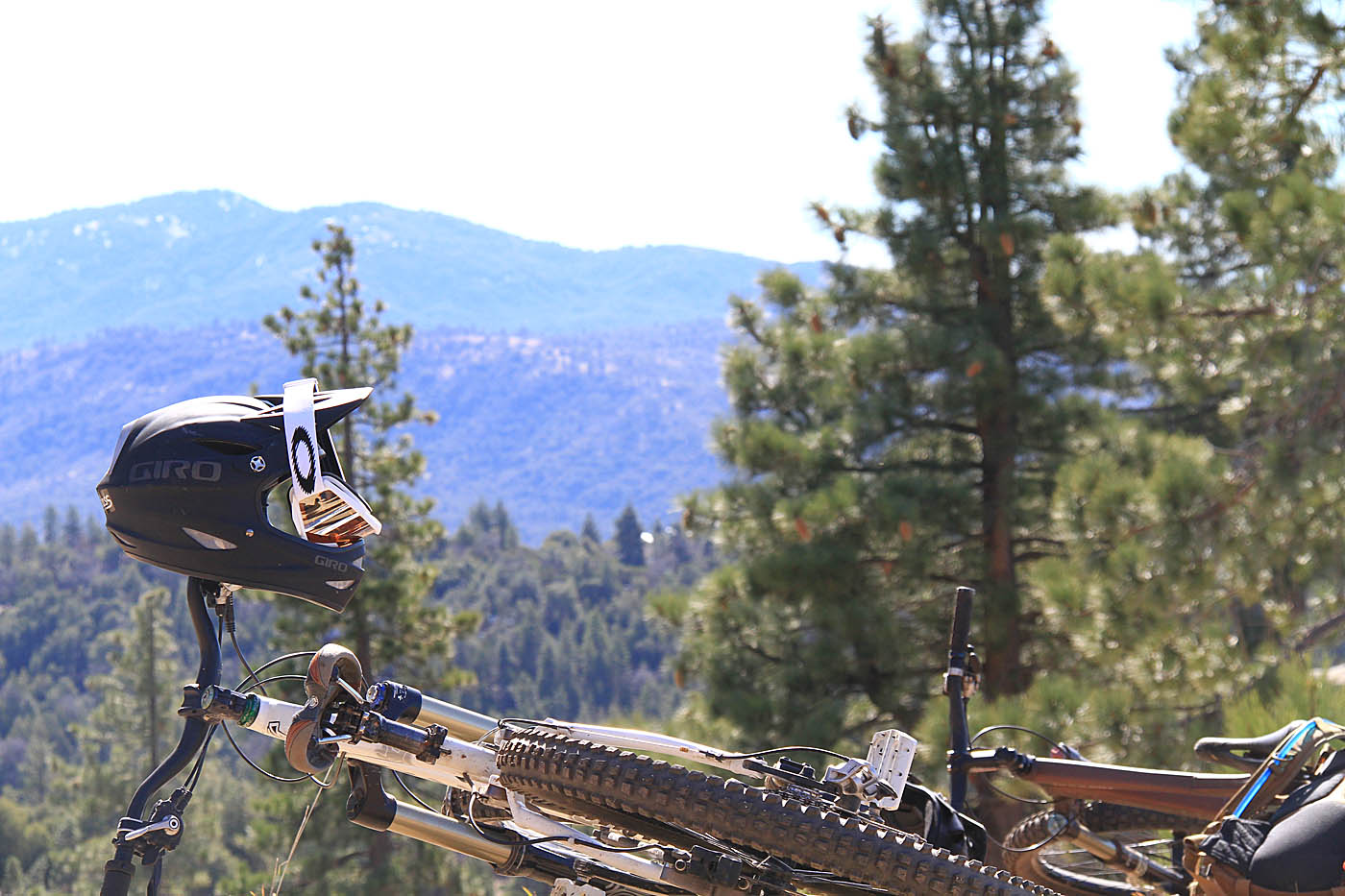
The Hub Trails - Idyllwild


 Area Notes: The
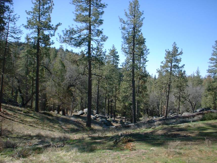
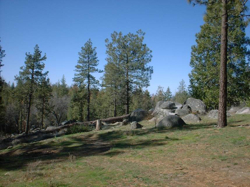
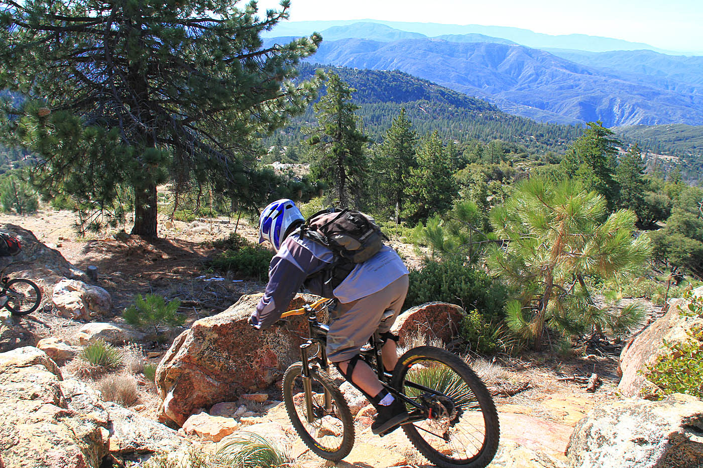
area that I checked out was originally known as Alvin Meadows on the Idyllwild Chamber of Commerce's site. I called that as well on my site for over 10 years, but the locals refer to the much larger area as "The Hub" Trails since the trailhead is pretty much the hub for a series of trails heading off in nearly all directions. The local bike shop was named after this trail system. The trail system is
situated just inside of the San Bernardino National Forest on the outskirts of
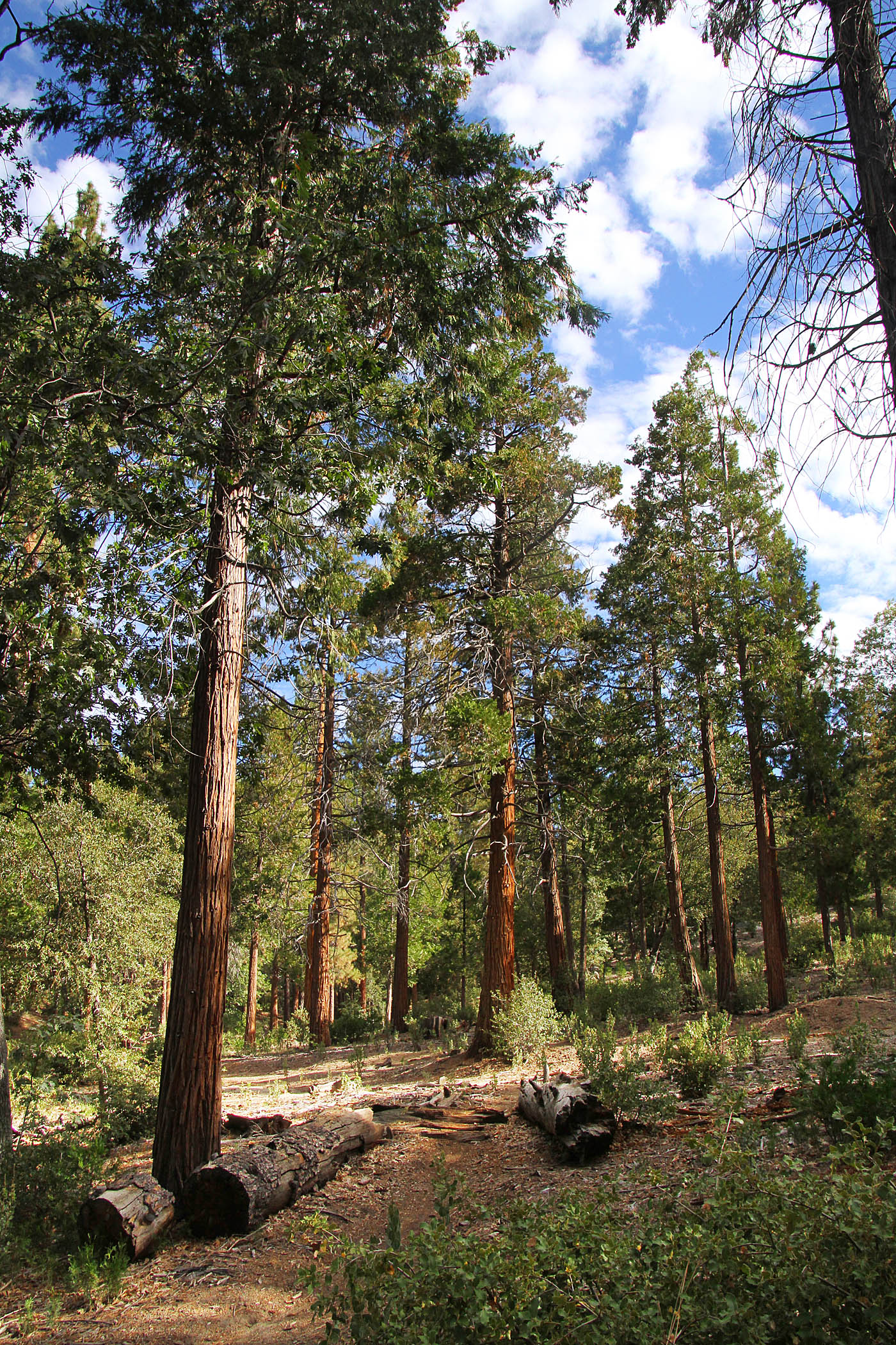
town. The local mountain bikers have done a fabulous job of making and
maintaining a network of really sweet single track that offers a wide array of
scenery. Normally I like to describe a particular route but there are so
many options here I could not possible describe it. The design of the
place makes if so that if you wanted to you could follow a general rule of thumb of climbing up fire roads and going
down single tracks. However there are plenty of trails to suit your fancy in the up or downhill directions. The best advice I can give up front is to just get out on the trails and explore or catch one of the shop rides. You can easily fill up an entire season riding out here.
Area Notes: The
area that I checked out was originally known as Alvin Meadows on the Idyllwild Chamber of Commerce's site. I called that as well on my site for over 10 years, but the locals refer to the much larger area as "The Hub" Trails since the trailhead is pretty much the hub for a series of trails heading off in nearly all directions. The local bike shop was named after this trail system. The trail system is
situated just inside of the San Bernardino National Forest on the outskirts of
town. The local mountain bikers have done a fabulous job of making and
maintaining a network of really sweet single track that offers a wide array of
scenery. Normally I like to describe a particular route but there are so
many options here I could not possible describe it. The design of the
place makes if so that if you wanted to you could follow a general rule of thumb of climbing up fire roads and going
down single tracks. However there are plenty of trails to suit your fancy in the up or downhill directions. The best advice I can give up front is to just get out on the trails and explore or catch one of the shop rides. You can easily fill up an entire season riding out here.
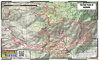
Tailored Routes (Some of these route names are for the most part are my own created mumbo-jumbo.)
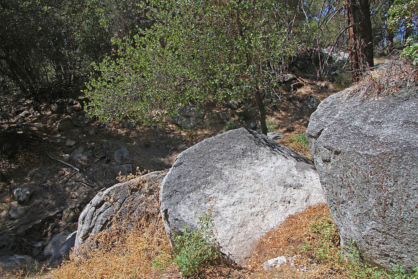
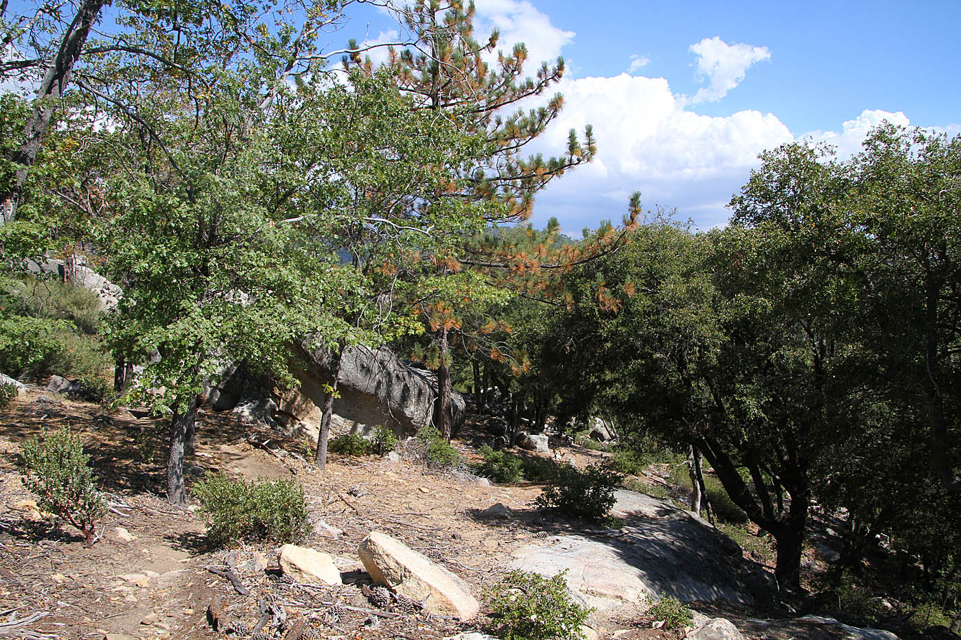

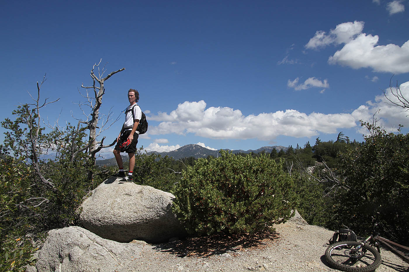
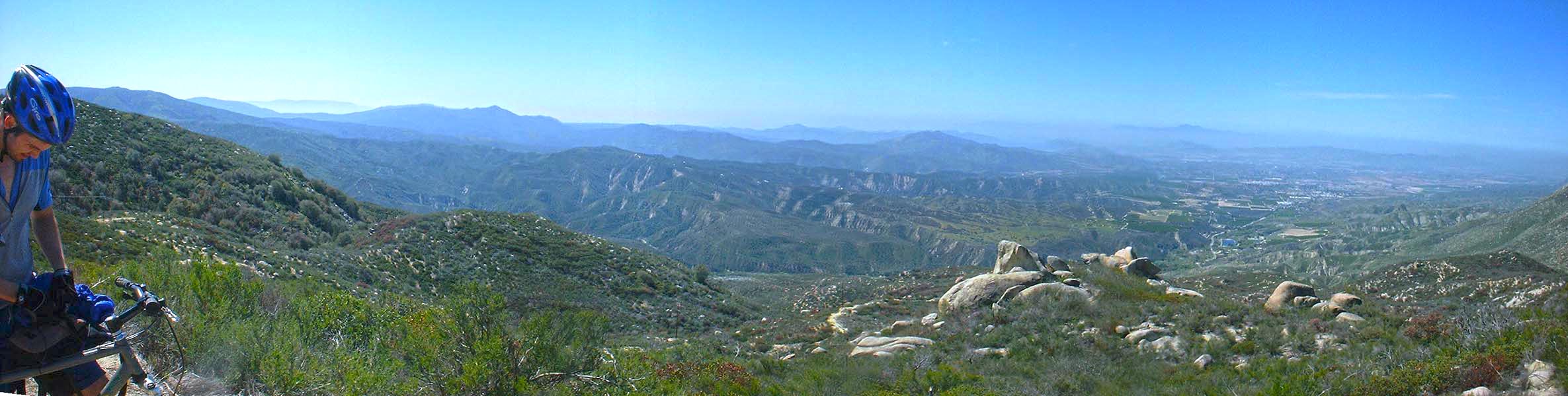
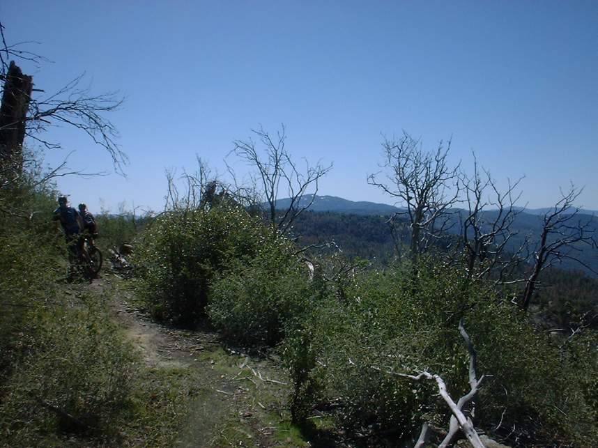
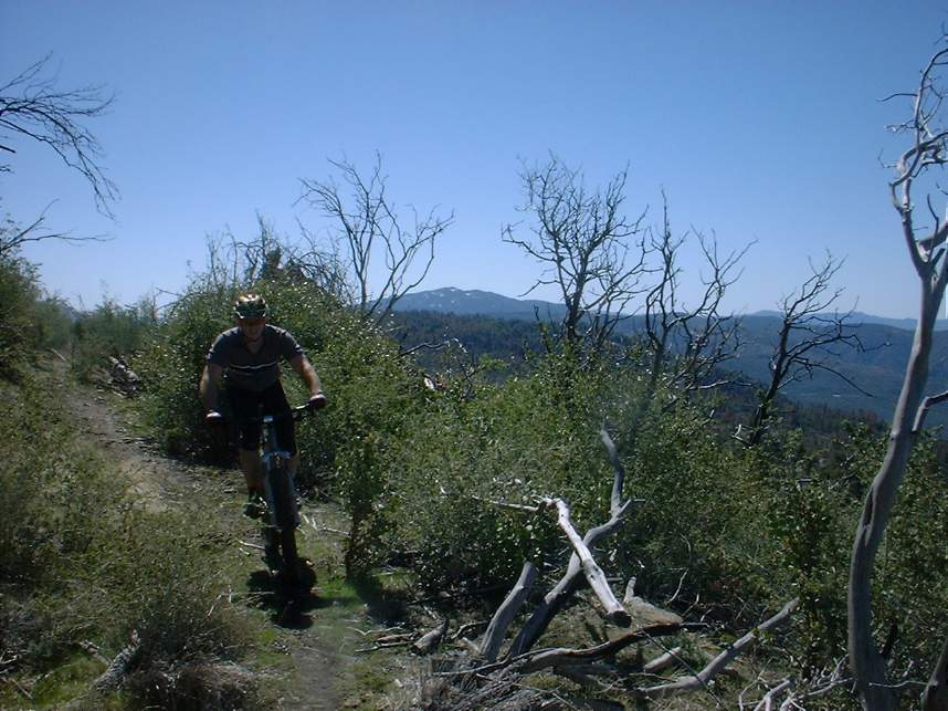
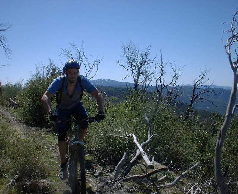
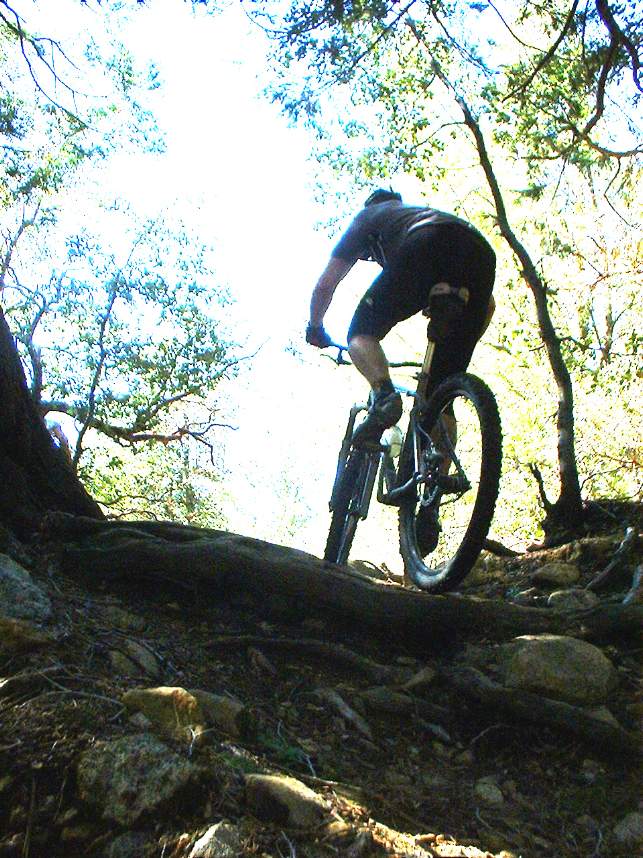
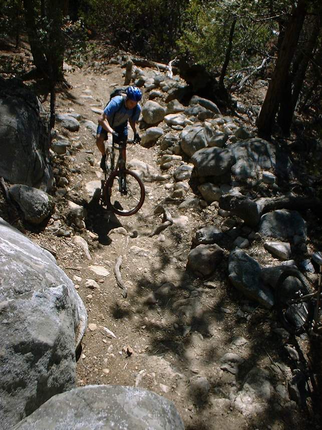
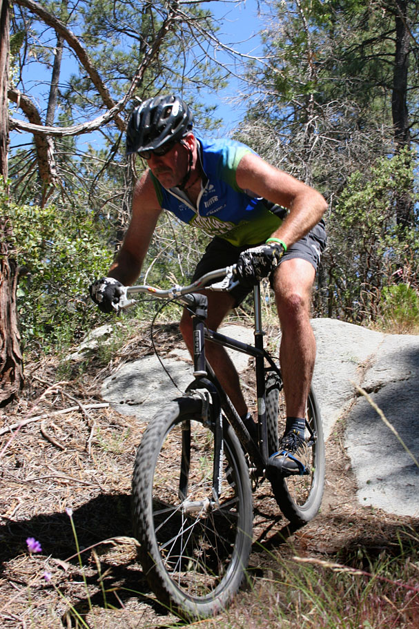
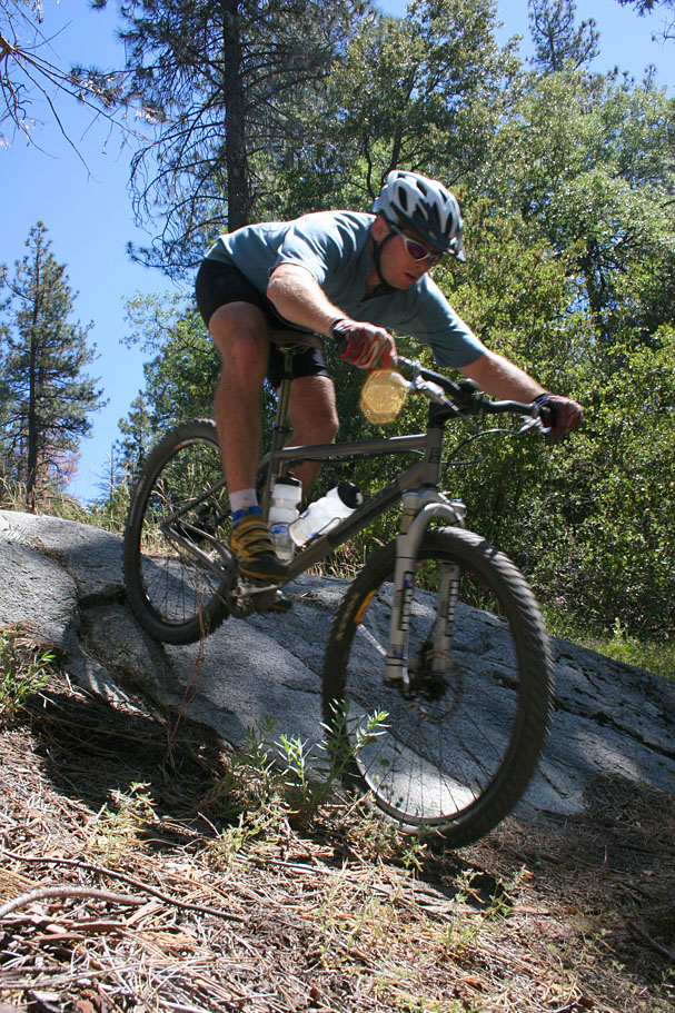
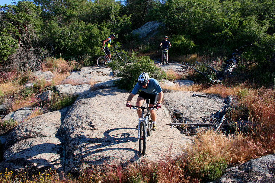
Photos from along the "Hard Sun" trail


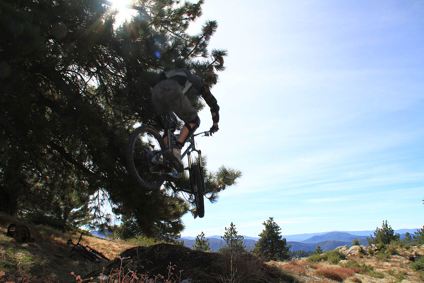
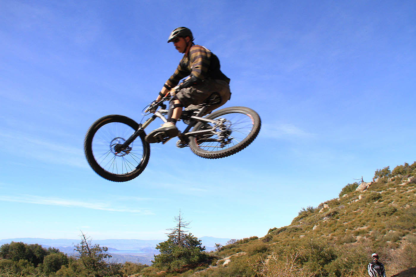
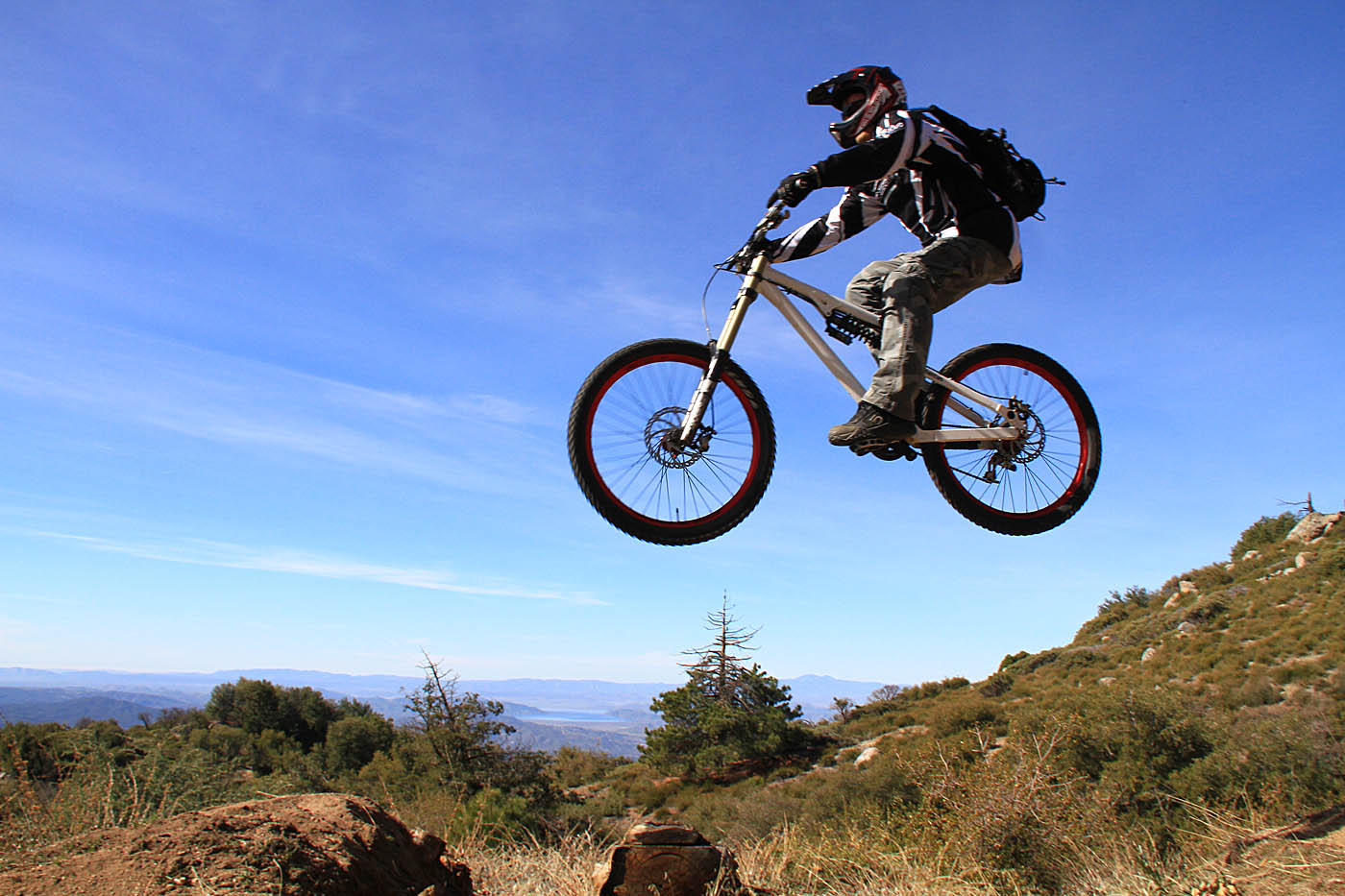
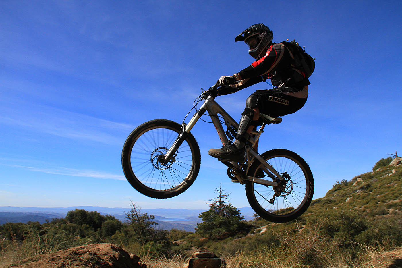
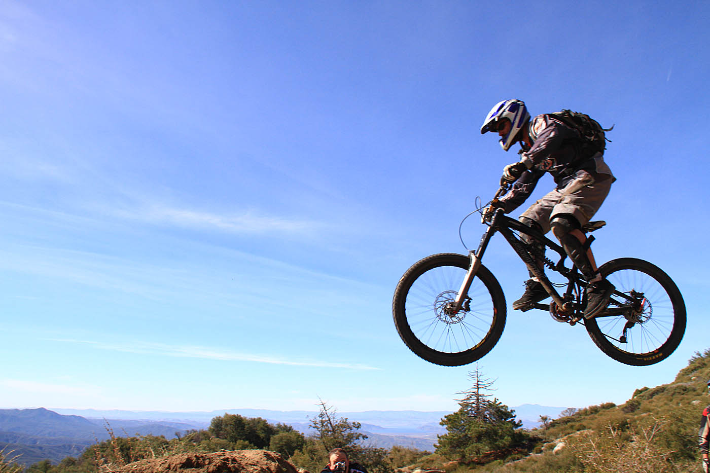
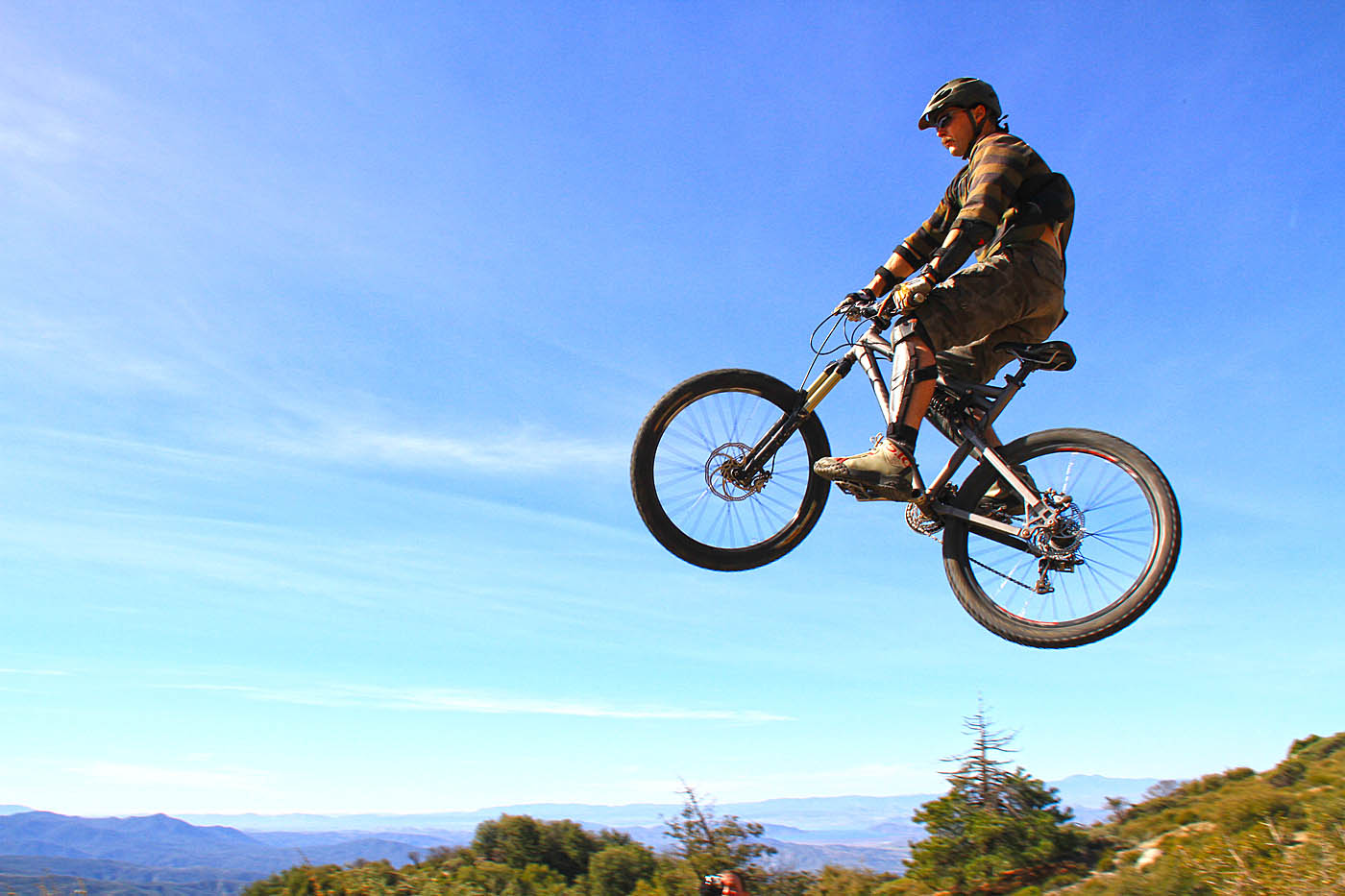
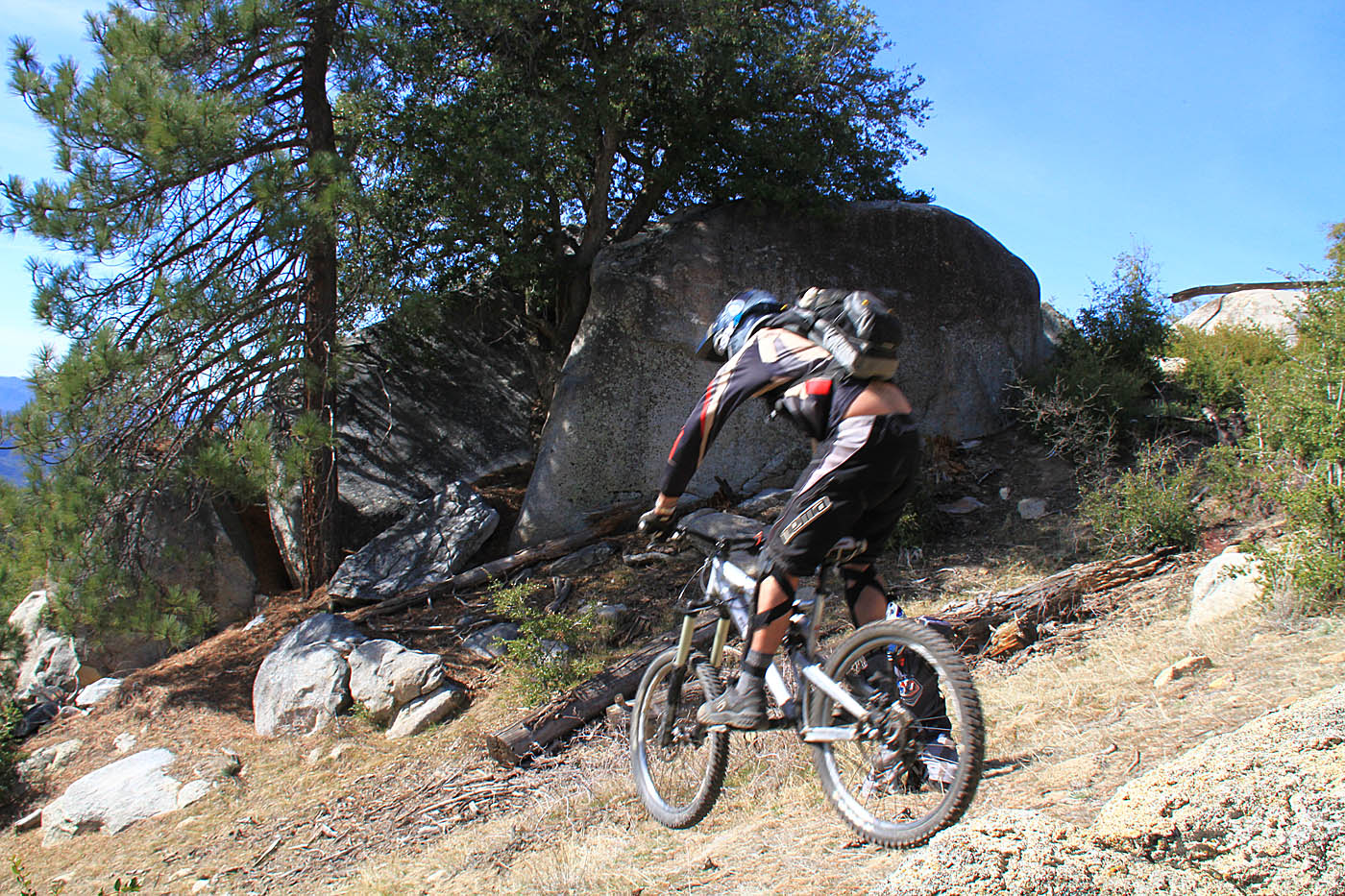
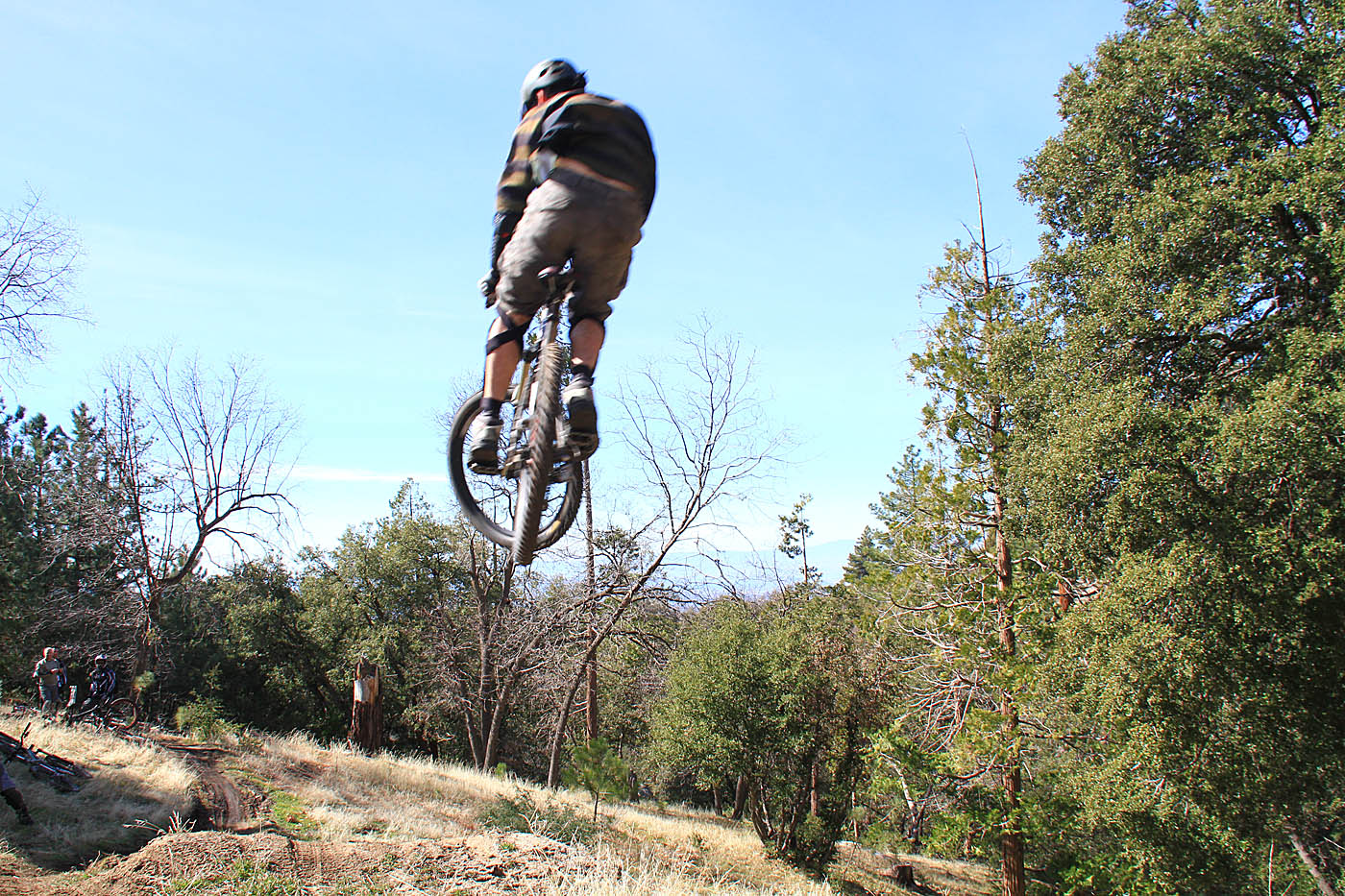
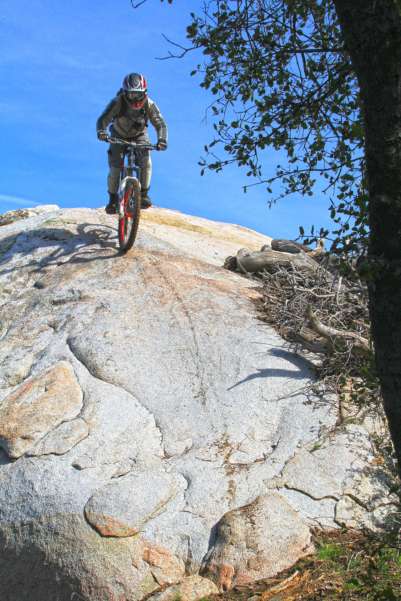

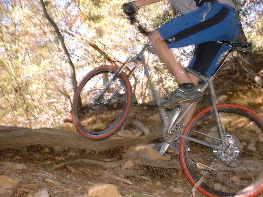
Shots from playing on Project-X and Hell-razor

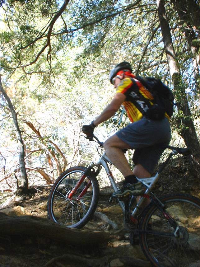
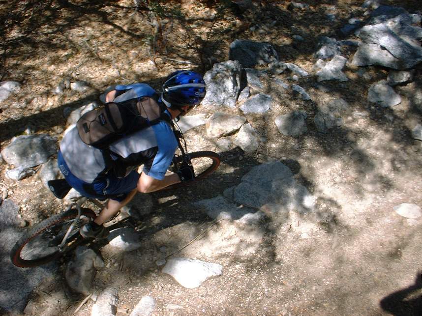
Some rather old school photos from back in 2003
(believe was taken with a "high-tech" 1.2M pixel camera :-)

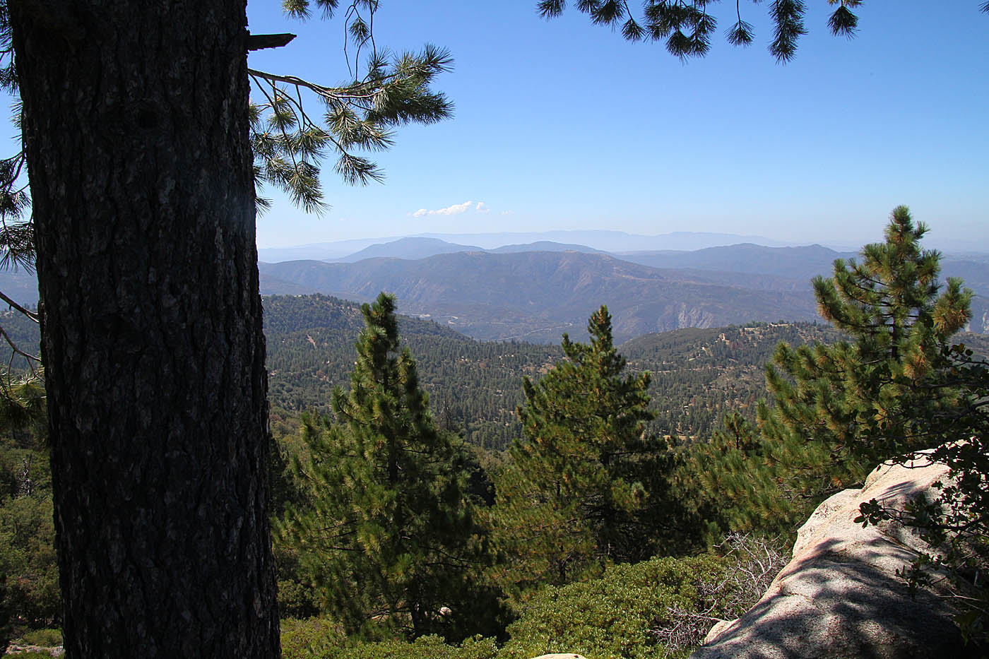
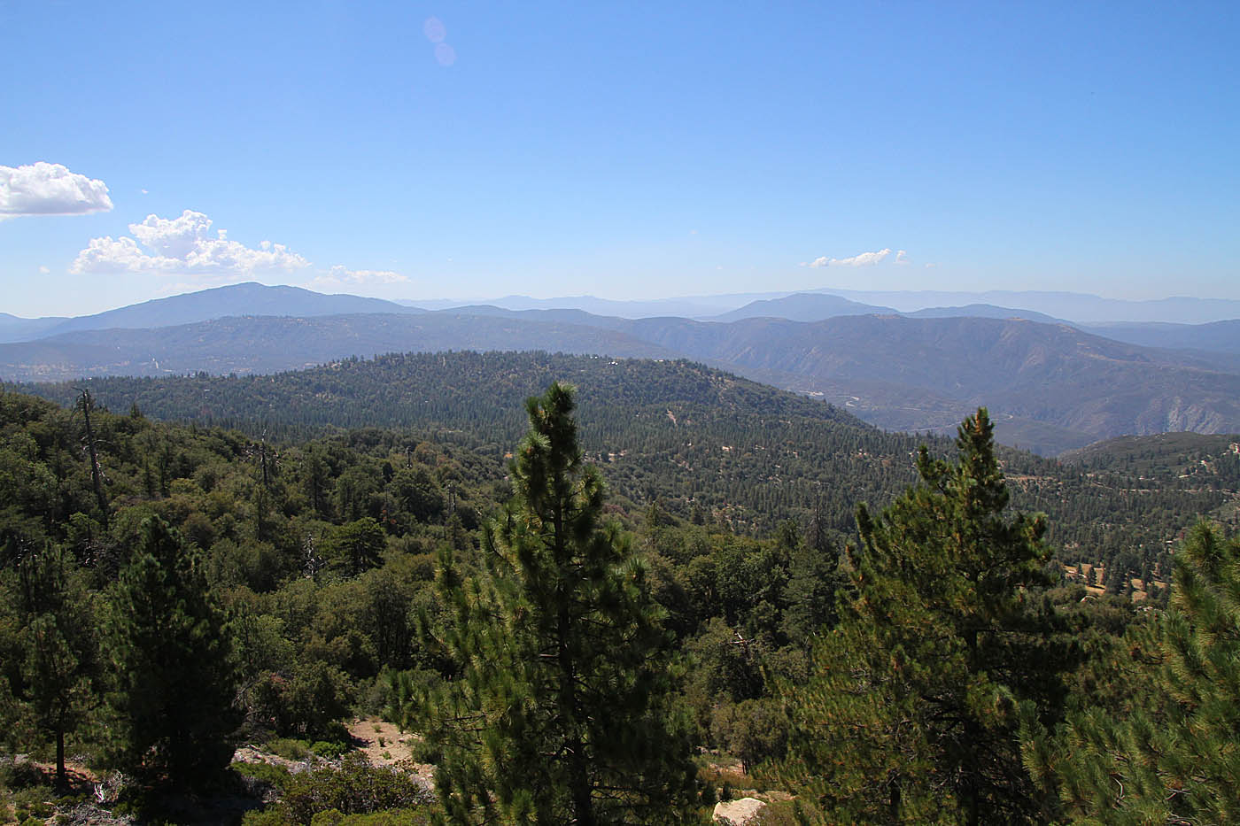
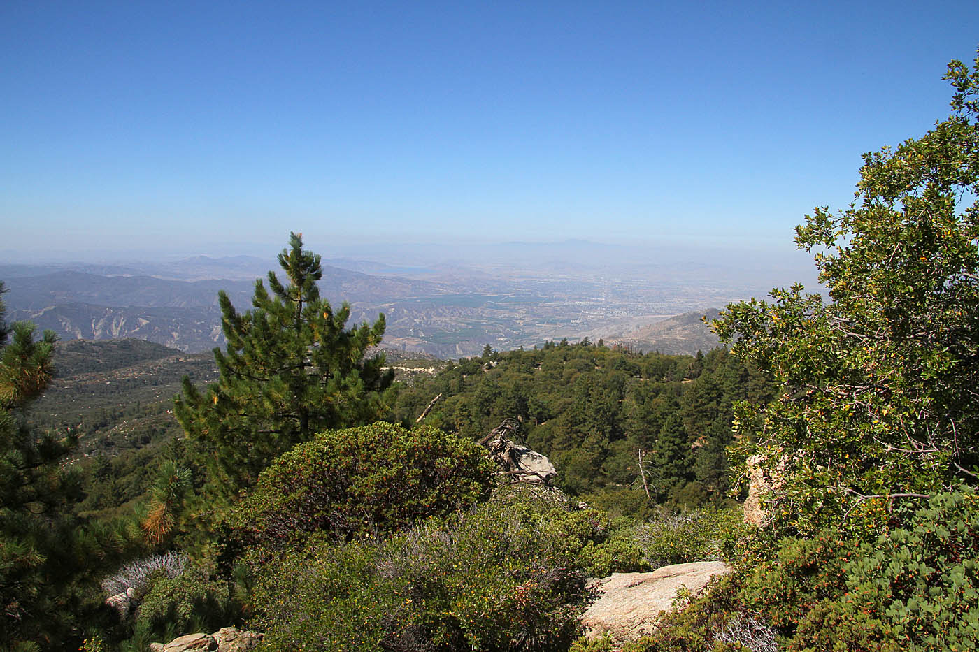
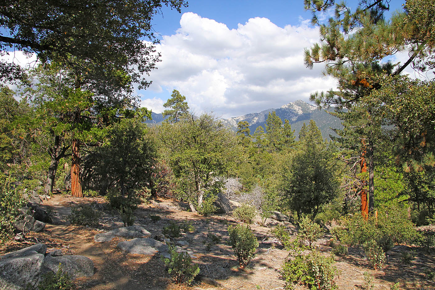
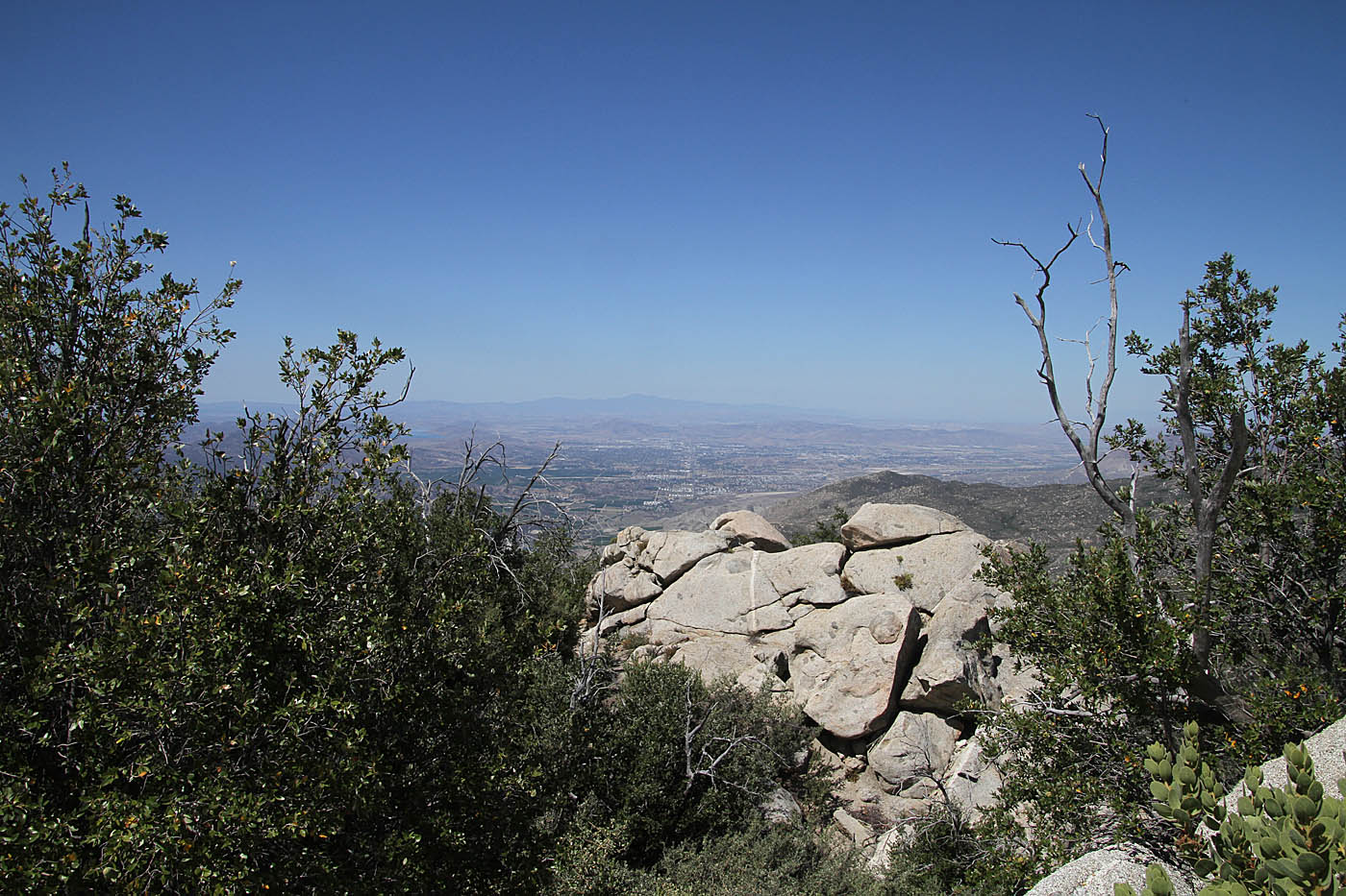
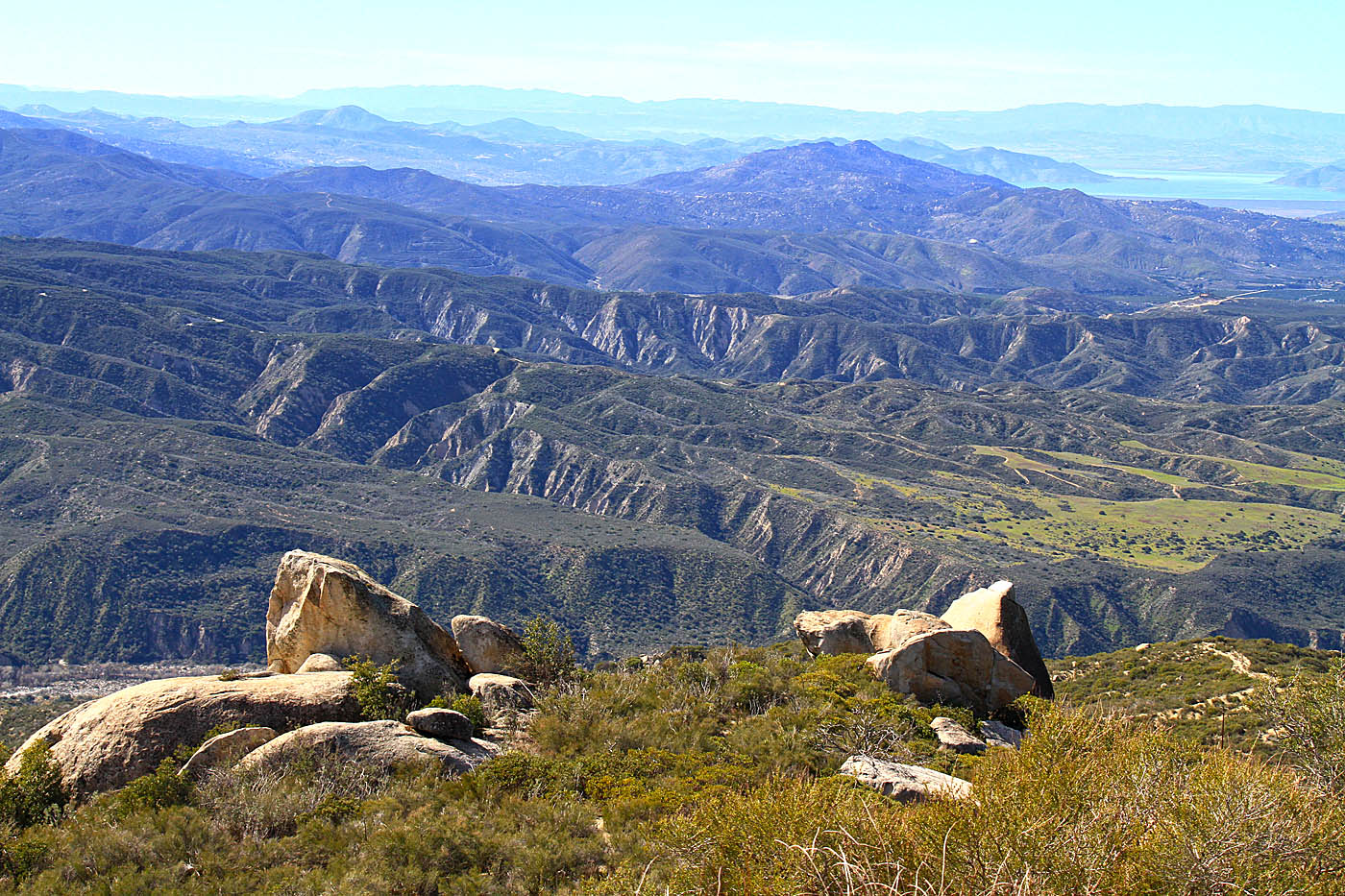
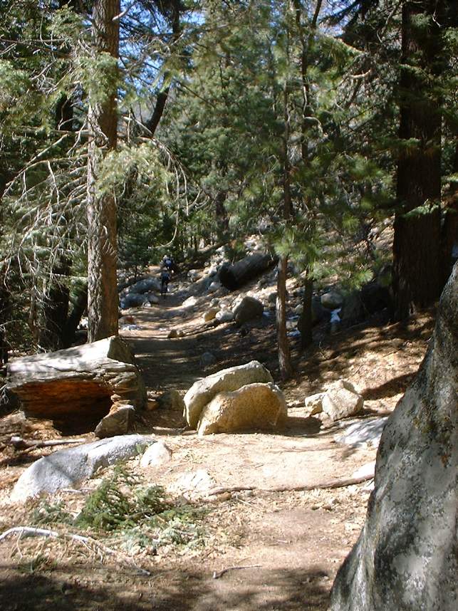
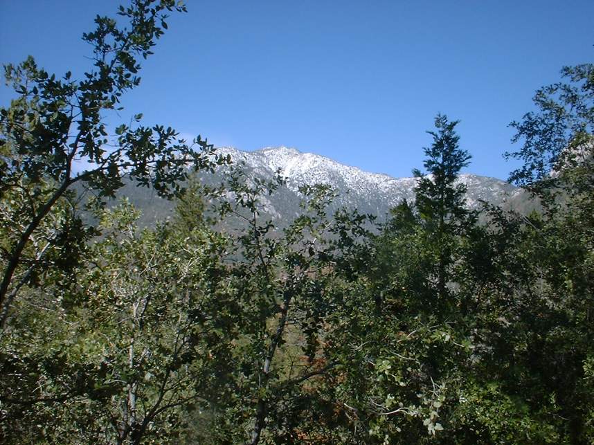
A view heading up the fire road
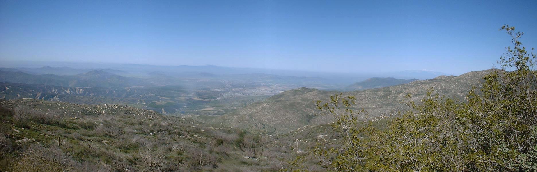
A view a little further up near the top of the fire road.
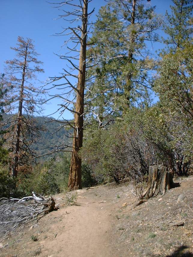
The Ernie Maxwell Trail
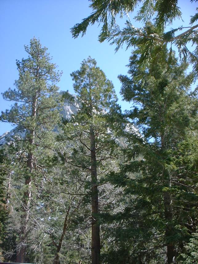
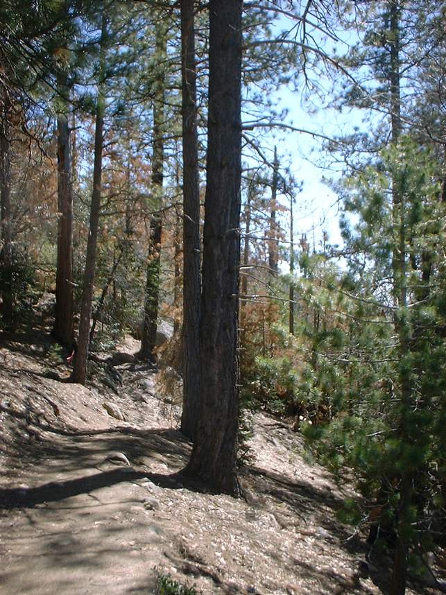 The Ernie Maxwell trail is now off-limits to bikes. I'm not sure when access was hanked but with the growth of the other trails in the area its loss has been fairly well mitigated. These pictures were taken in 2003 during an after lunch ride after a pre-lunch ride out on the Hub trails. I'm leaving this section on the page for mostly my own archival purposes and evidence that I used to be a skinny mountain biker. The north end of the trail
is at Humber Park at 6,409 feet and travels 2.5 mile down hill with an elevation drop of a
little over 700 feet before coming out on South Ridge Road. Back when it was open to bikes it was recommended to not ride this trail on a weekend as it is very popular and you would have to watch out for and stop for hiker at least half a dozen times on this stretch
of trail. While I dislike any time a trail is often limits to bikes, there is such a good inventory of quality trails in the area this is not a tragic loss.
The Ernie Maxwell trail is now off-limits to bikes. I'm not sure when access was hanked but with the growth of the other trails in the area its loss has been fairly well mitigated. These pictures were taken in 2003 during an after lunch ride after a pre-lunch ride out on the Hub trails. I'm leaving this section on the page for mostly my own archival purposes and evidence that I used to be a skinny mountain biker. The north end of the trail
is at Humber Park at 6,409 feet and travels 2.5 mile down hill with an elevation drop of a
little over 700 feet before coming out on South Ridge Road. Back when it was open to bikes it was recommended to not ride this trail on a weekend as it is very popular and you would have to watch out for and stop for hiker at least half a dozen times on this stretch
of trail. While I dislike any time a trail is often limits to bikes, there is such a good inventory of quality trails in the area this is not a tragic loss.
Webster Trail
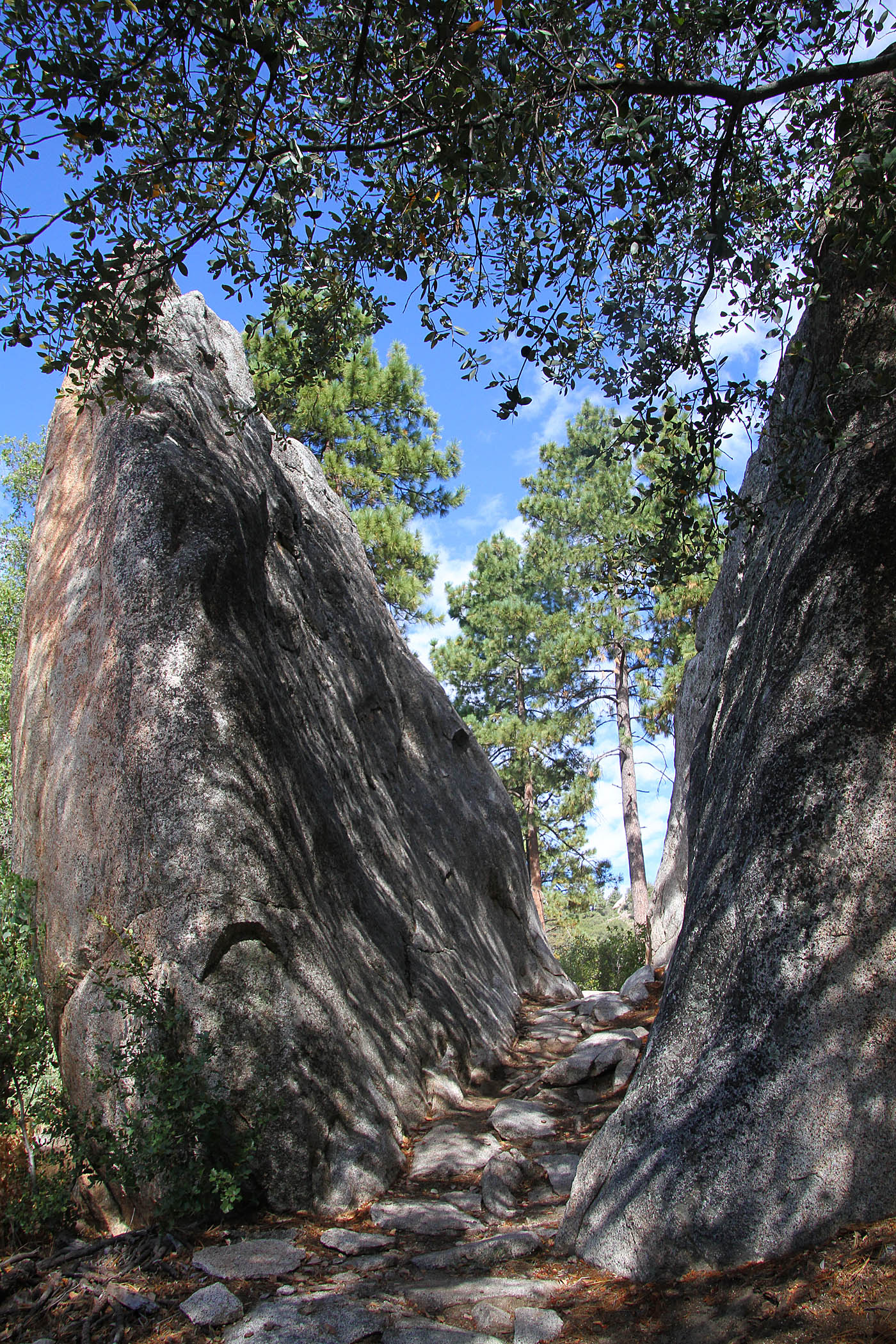
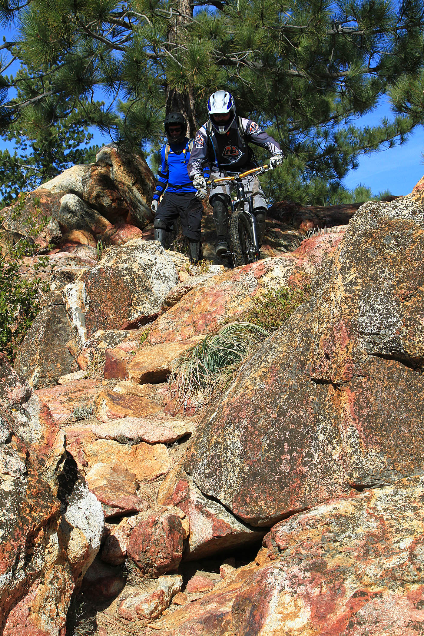
There is a quite technical trail in the Alvin Meadows area that is a real blast but it is for experienced riders only. It is annotated on the map as a red dashed line. To get to you must climb up the big fireroad like you where going to the top of the Optimater (described above). You will continue past that trail for about 1/4 mile on the fireroad until you see the well marked Webster trail on your left. The trail starts off fairly gradual in the woods with sweeping turns and switchbacks. As you continue on it opens up into chaparral, and it gets more technical with rocks, ruts all while the grade steepens. This trail cashes out over 2,000 feet of elevation in around 2.5 miles with most of that occurring in the 3/4ths of mile. This trail sees very little use which adds to its difficultly with overgrown bushes sneaking onto the trail. The trail eventually dumps you out at really pretty stream that is flowing even in the heat of the summers. At this point the trial is non-existent. You will have to boulder hop and walk down the stream for about an 1/8th of a miles before you will pick up the trail (more like a well used game trail) on the east bank (left if walking down stream). From here you will follow (as in hike) a the faint trail that switchback up the side of a dreadfully steep hill back up to a fireroad.
WARNING: This trail is no joke. You are out in a pretty remote spot where most likely nobody may come by for days. I would not ride this alone. Also in the summer water can be a huge issue. A water filter or tablets would be could to have here as you could resupply while down at the creek. After a grueling hike-a-bike out of the bottom to the fireroad you will still have 4.5 miles of fireroad climbing to do to get back to the parking area. With that said it is an experience worth doing at least once.
I have not done this route in years. I would check with the the locals before heading off down this trail.
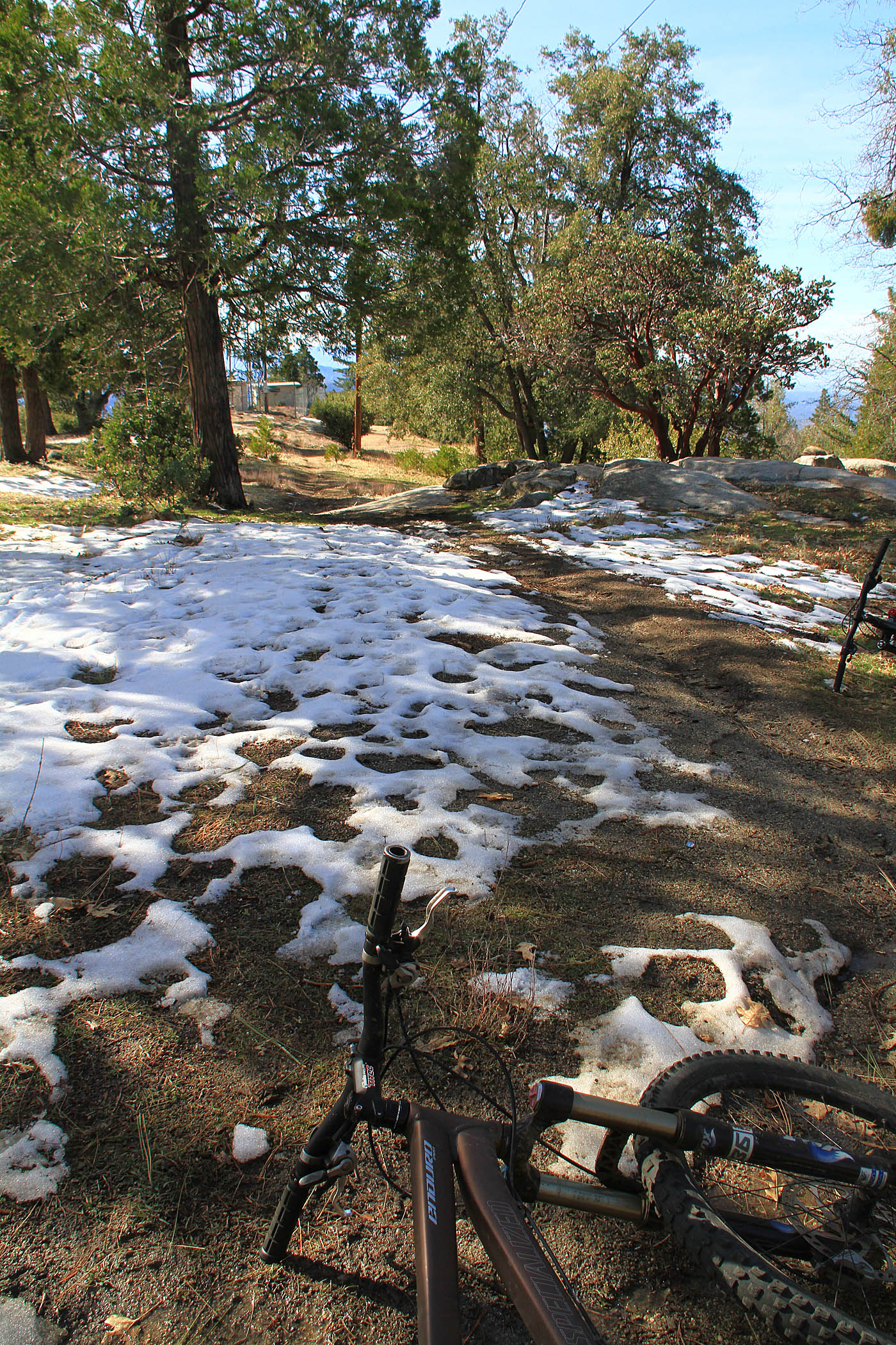
2005 Idyllwild Update
NOTE: I did not start the blog section of the site until 2007 so this section below was basically pre-blog entry
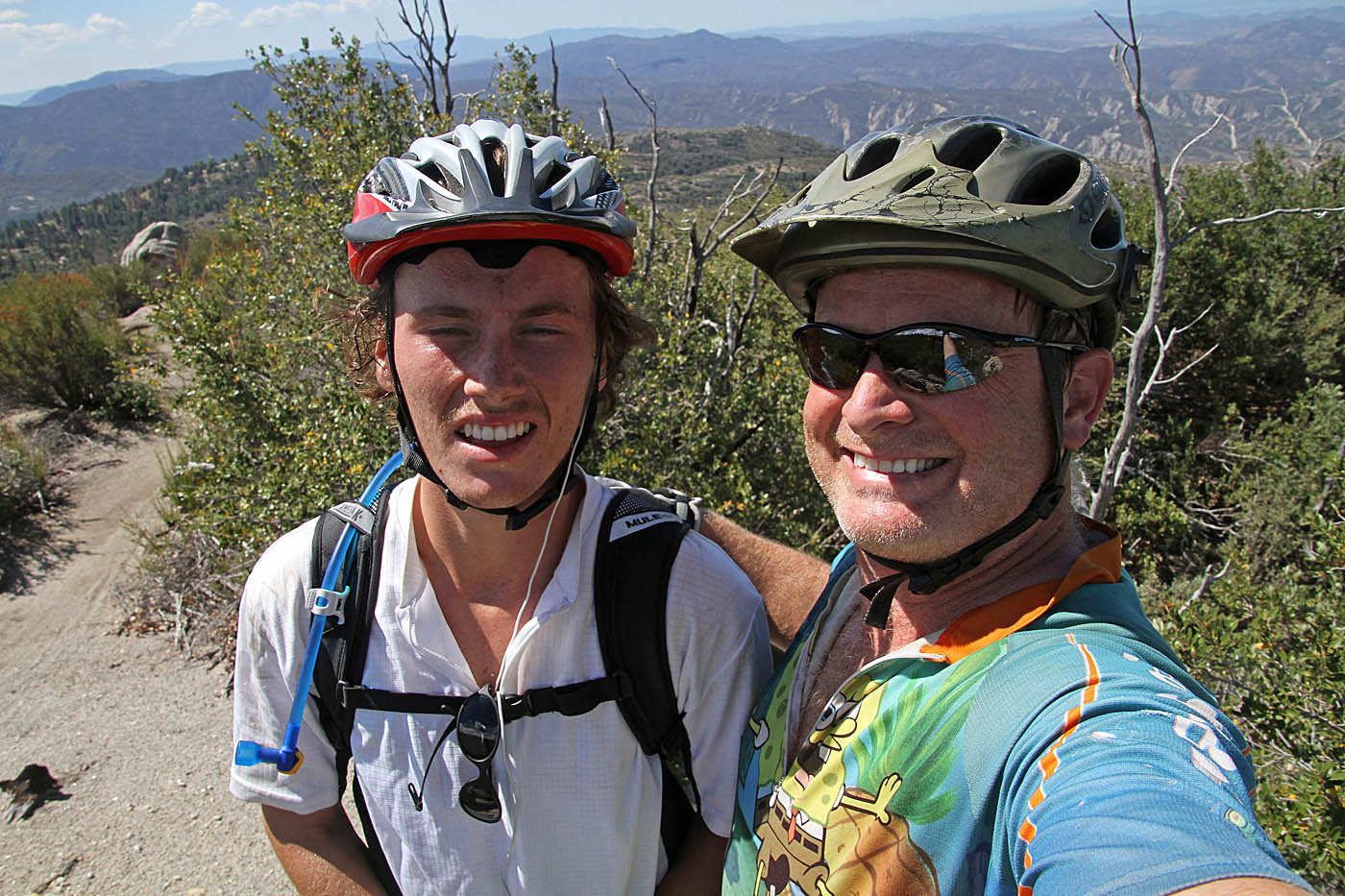
I was long overdue for a return to this area so I pulled the
trigger and spent a good portion on the day spinning some gears with some of my
fellow cohorts in grime. I should have gotten here about a month earlier
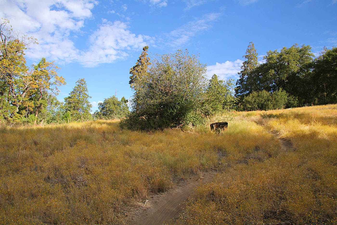
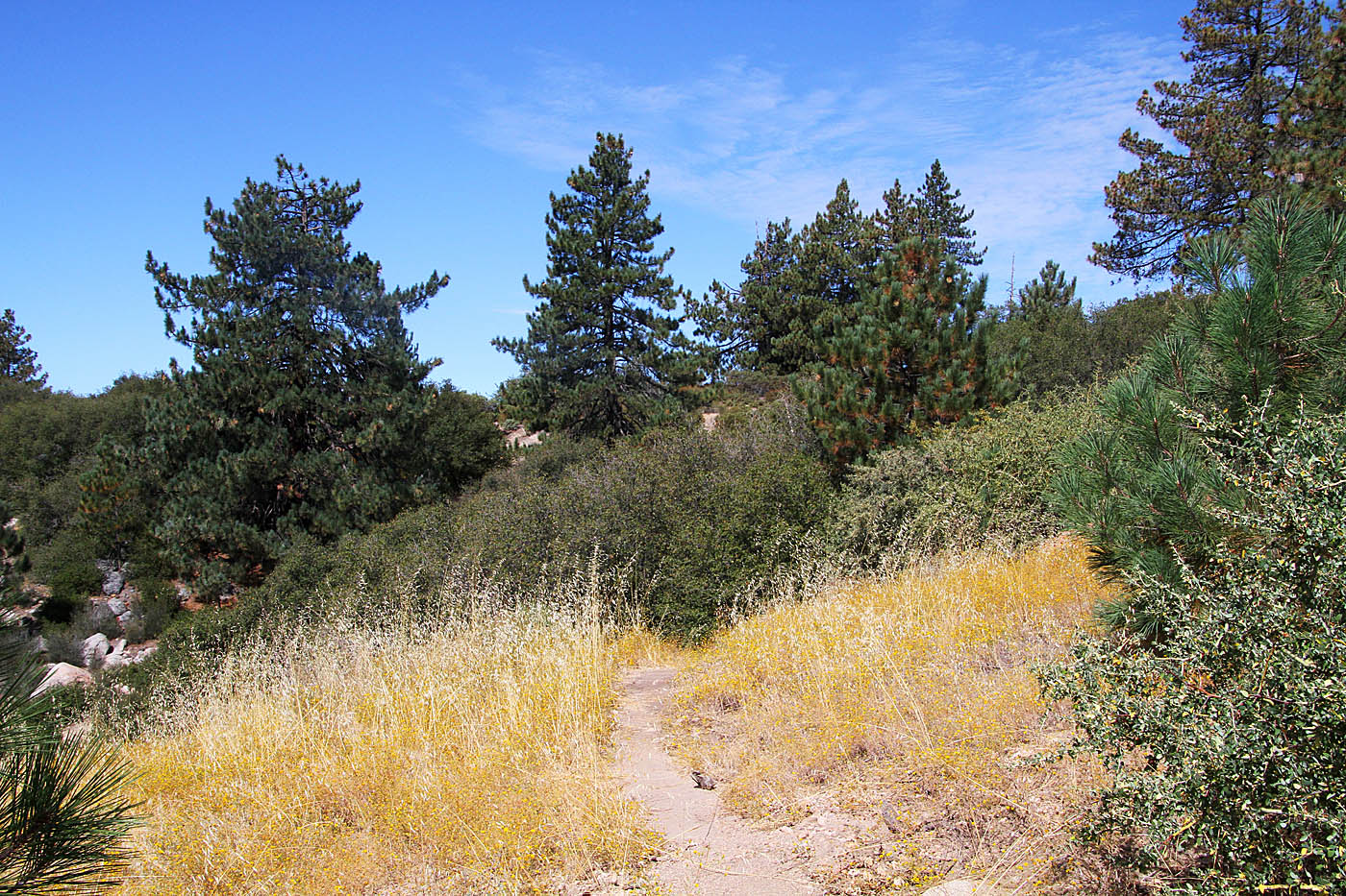
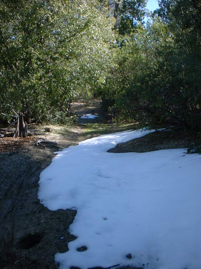
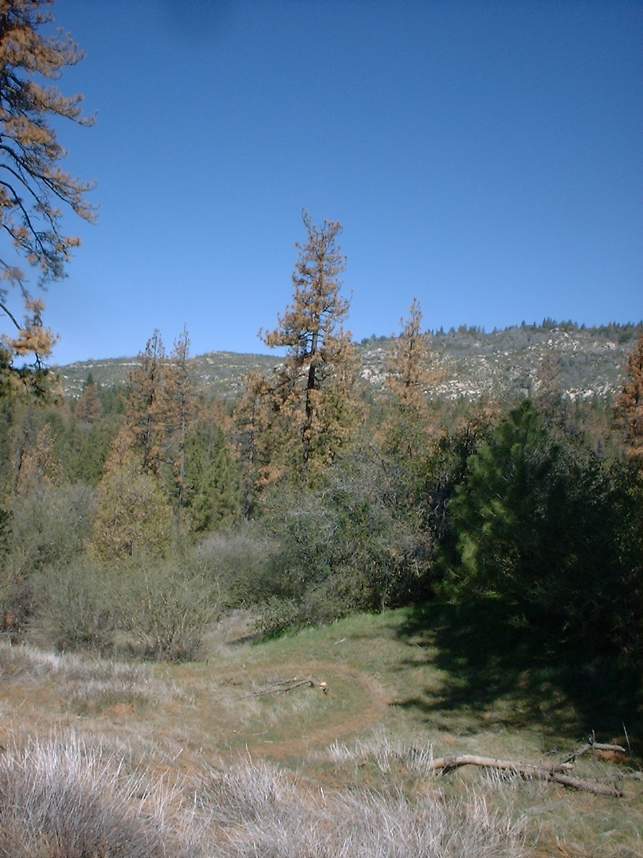
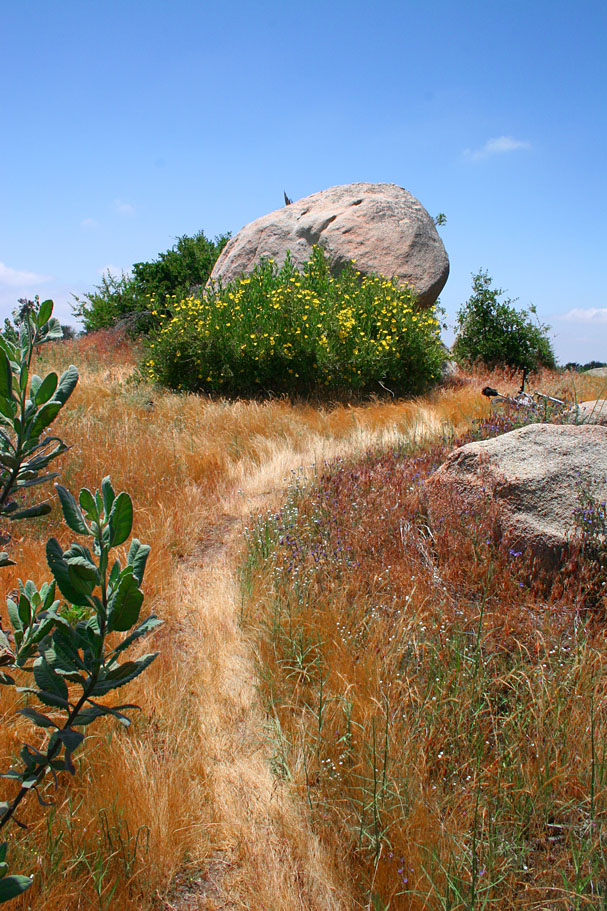
as the grasses have already started turning brown. However the area was
certainly not void of colors as many wildflowers were still in bloom. The
trails are in even better shape than they were in March of 2003 when I last rode
here. There has even been a few additions to the place, not all of which we
rode.
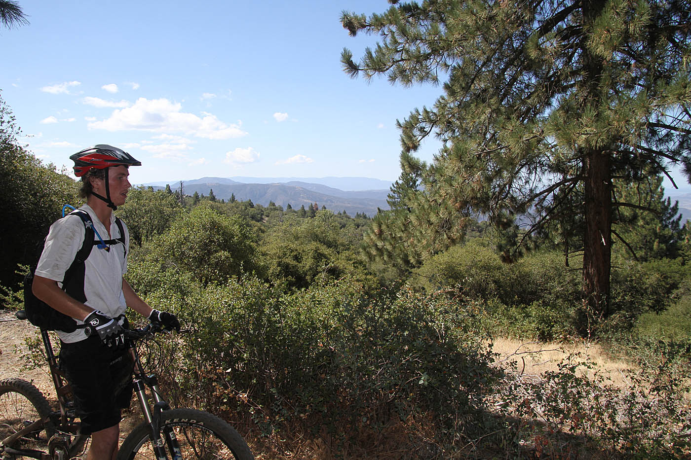
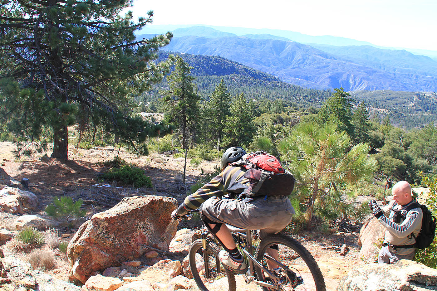
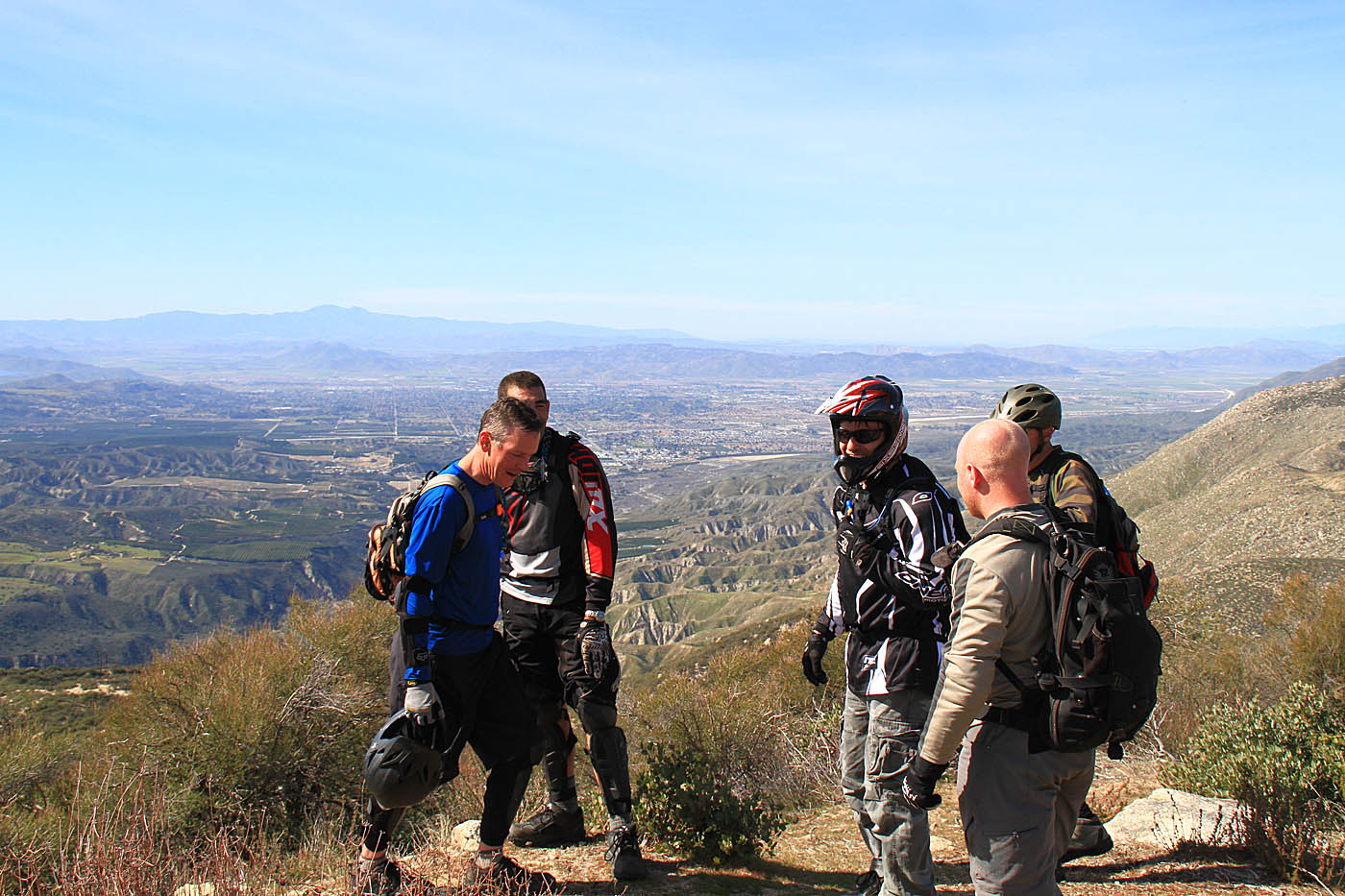
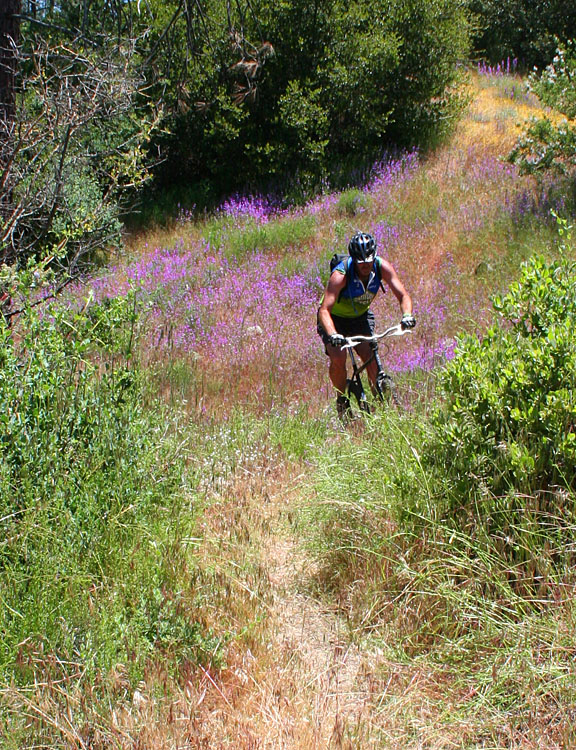
We did a bit of exploring early on that included a bunch of climbing all the way
up into Pine Cove before we started heading back down into the Alvin Meadows
area.
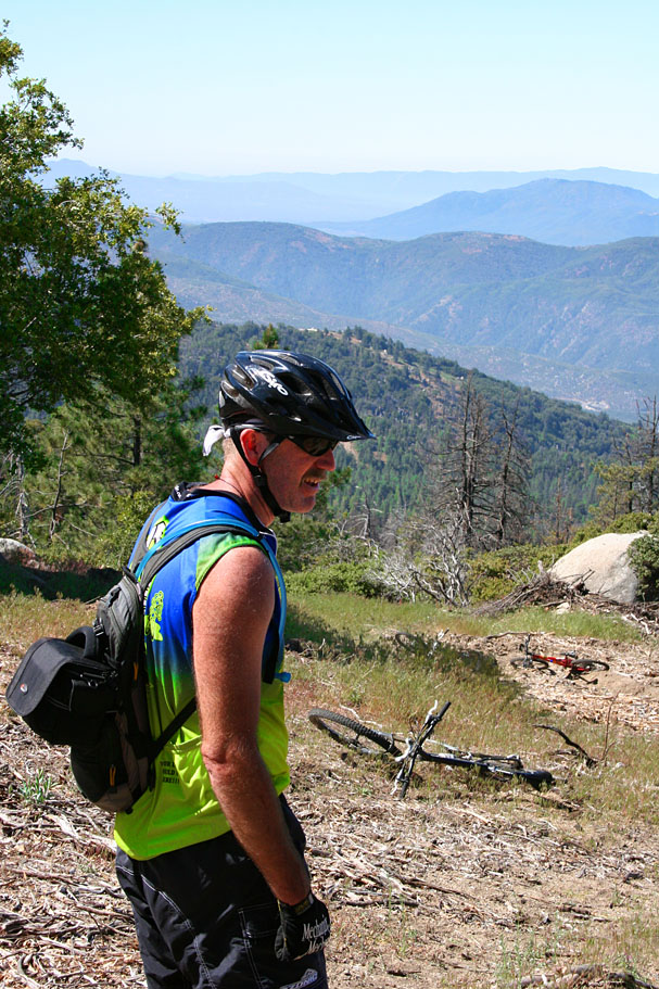

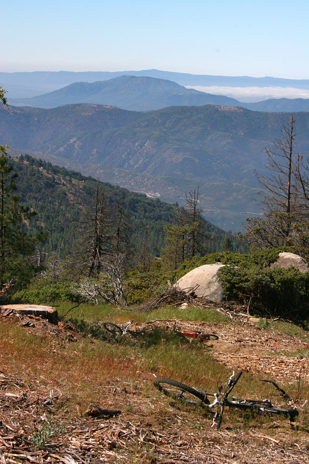
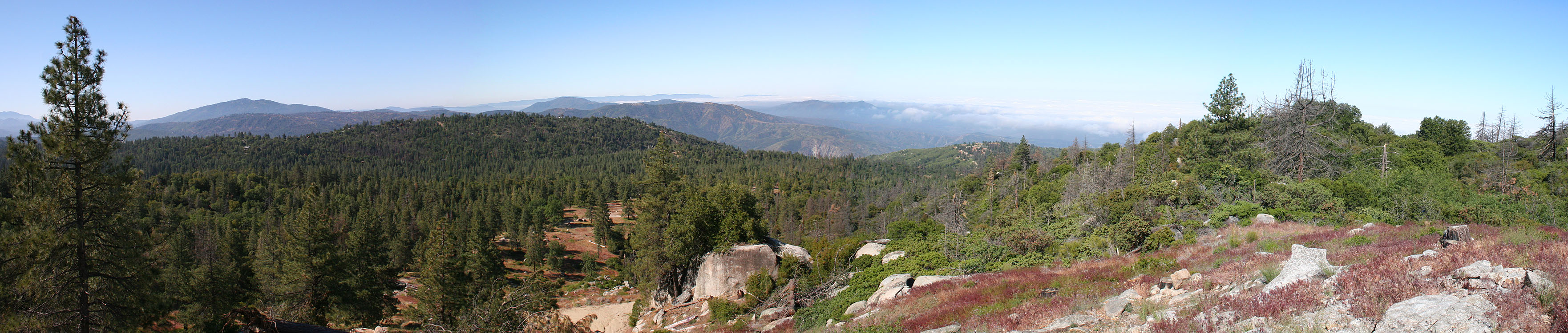
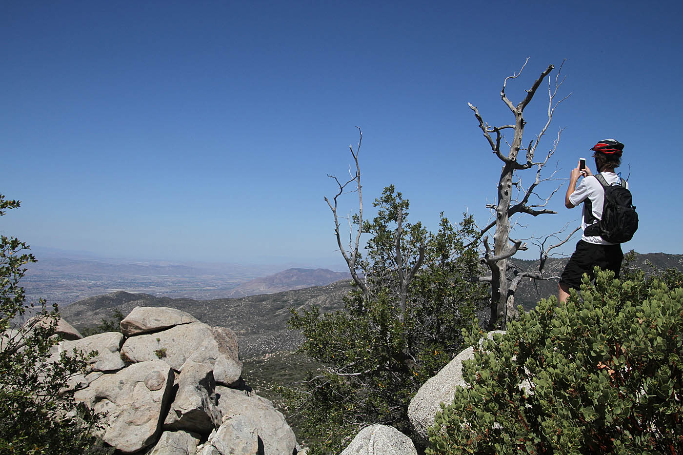
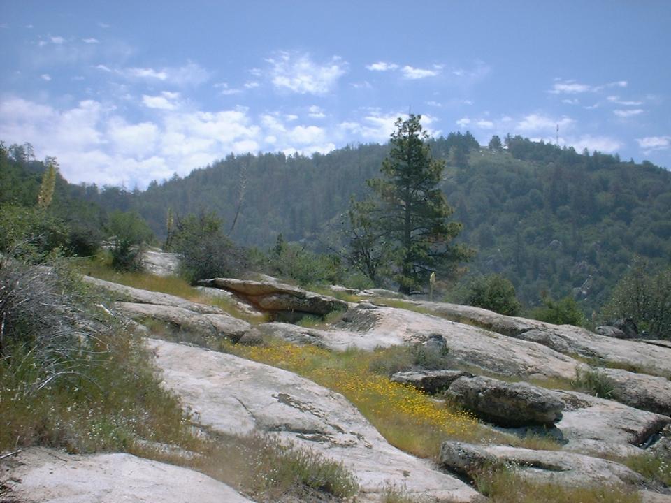
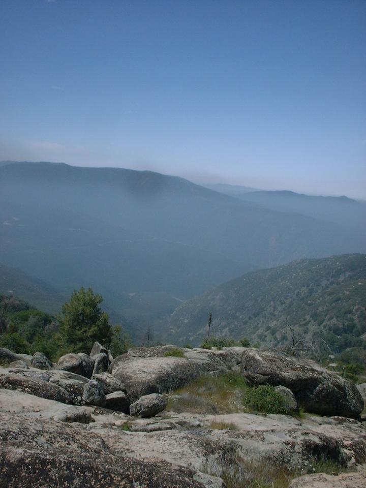
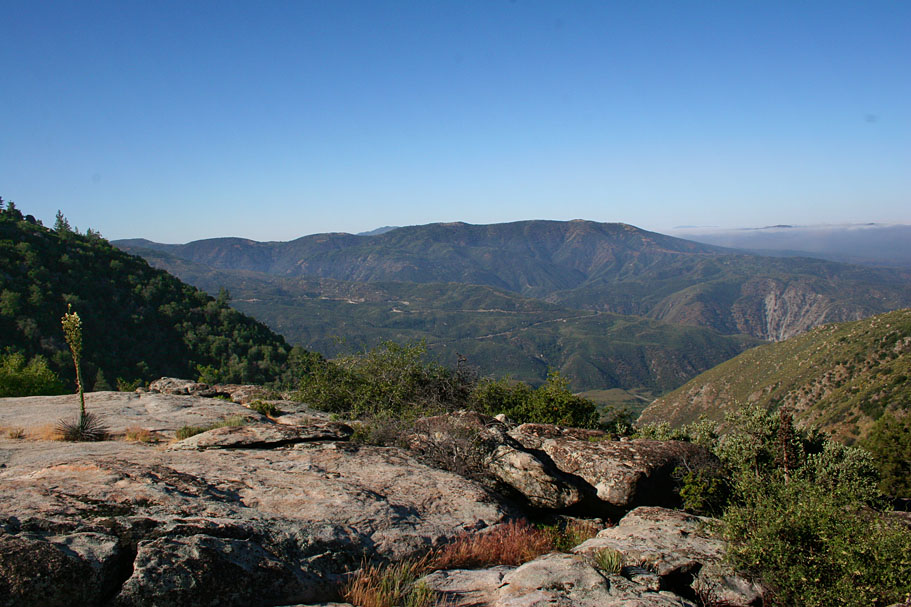
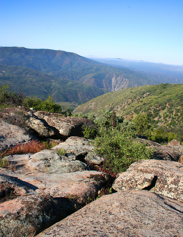
Here are some of the views from up near Pine Cove. I would have taken more
photos but I was gasping too hard to operate the camera.


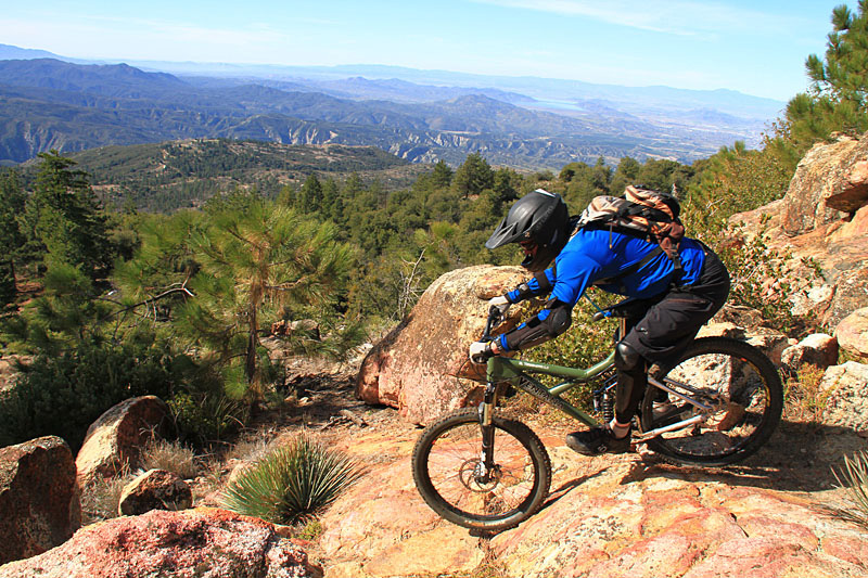
There are dozens of awesome spots to take shots, on the way down "Optimater" but
on all occasions to date, I was having way too much fun to stop more that just a
couple of times.
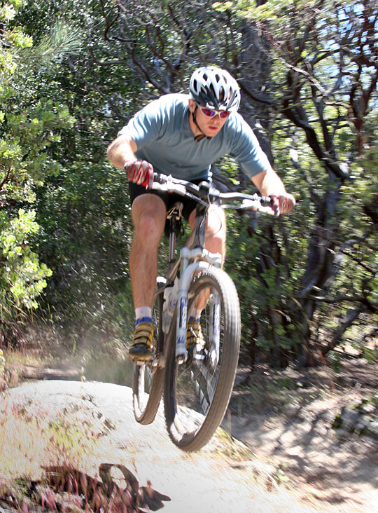
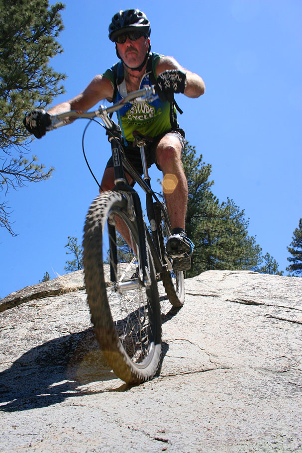


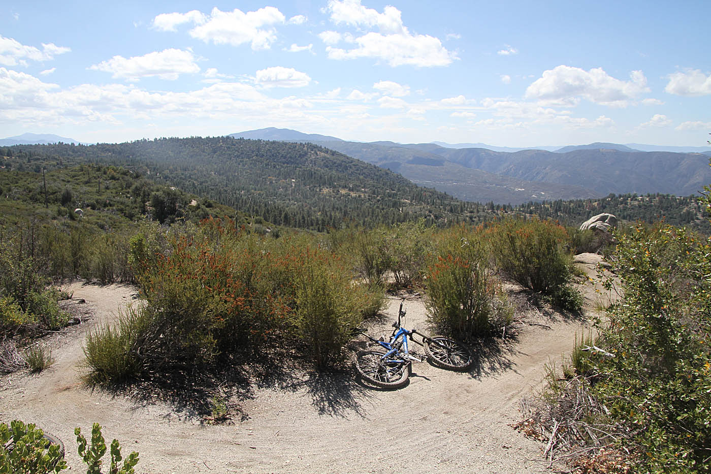
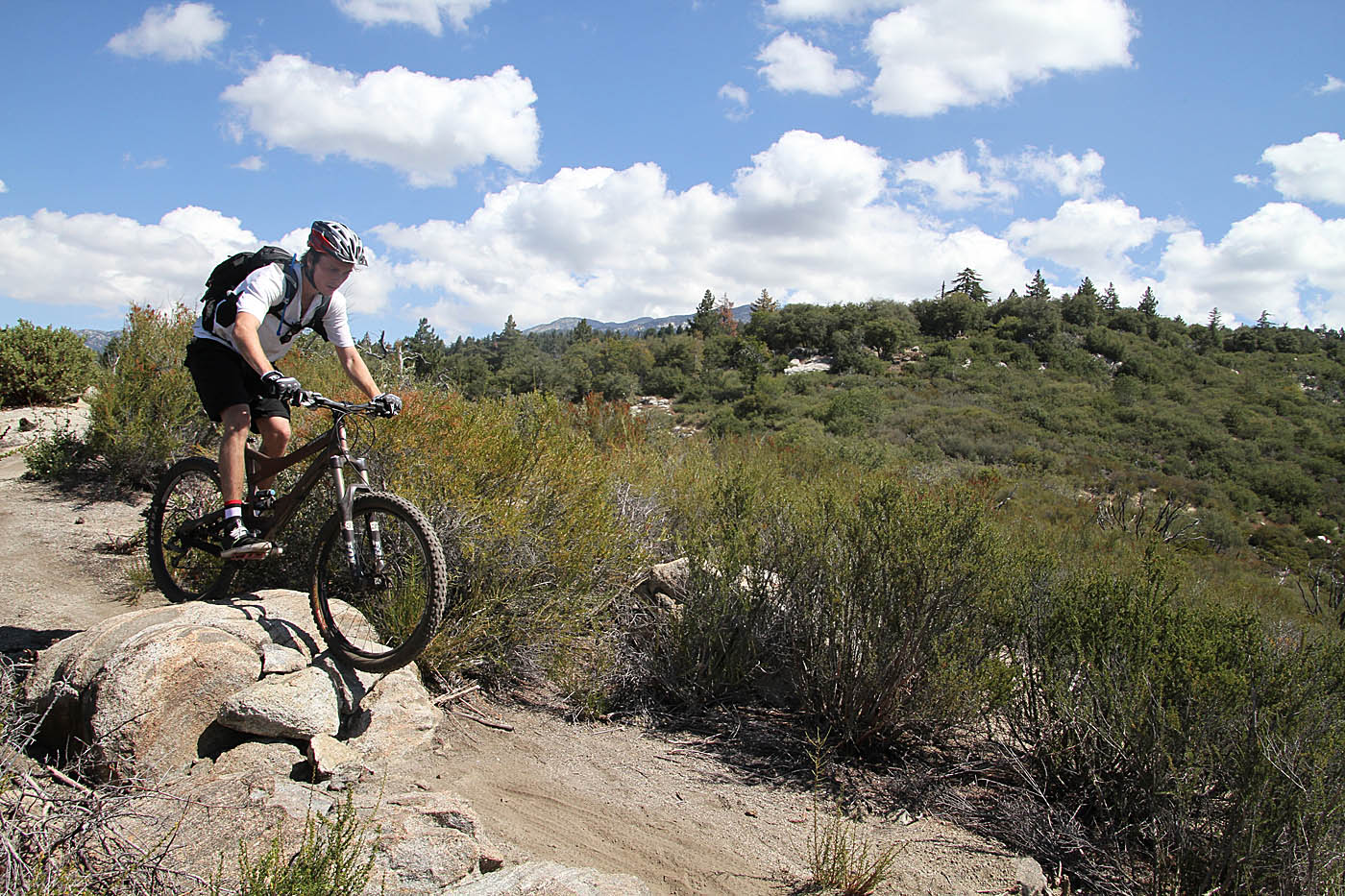
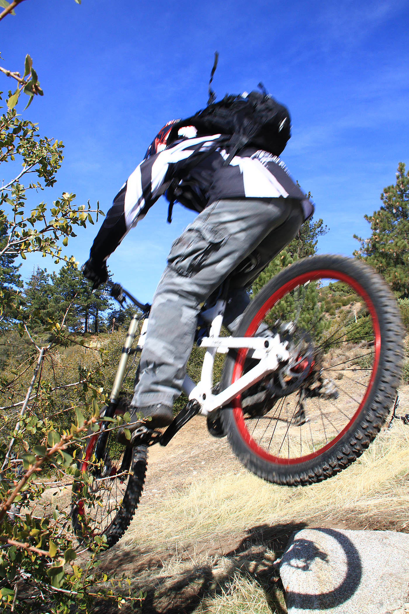
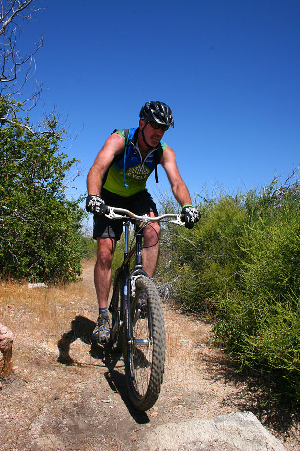
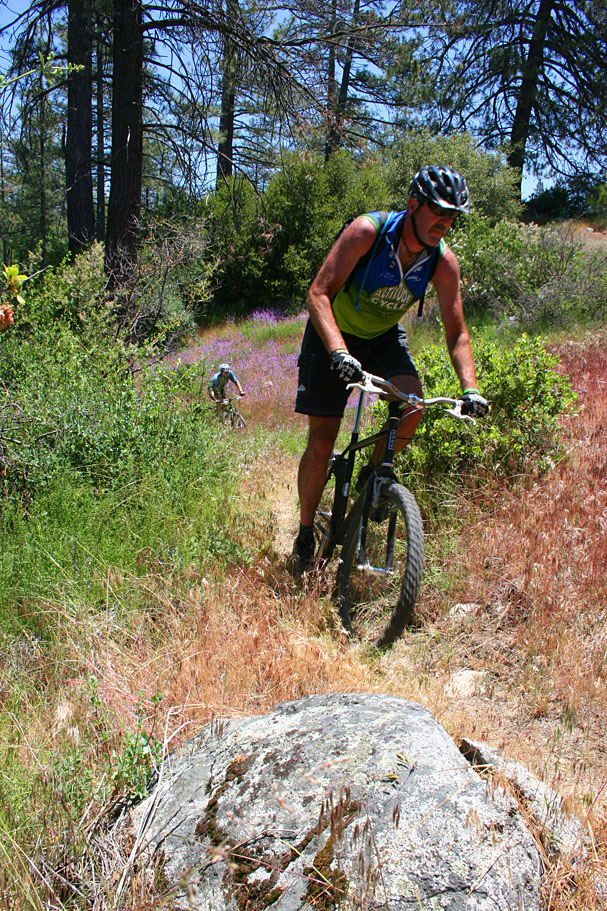
Once back down into the main area we had a blast on the well laid out
singletracks which offer a wonderful mix of trail features.
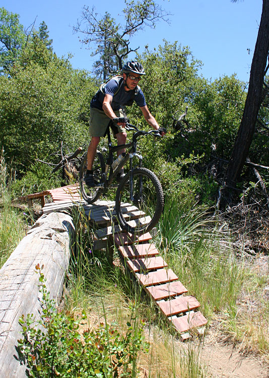
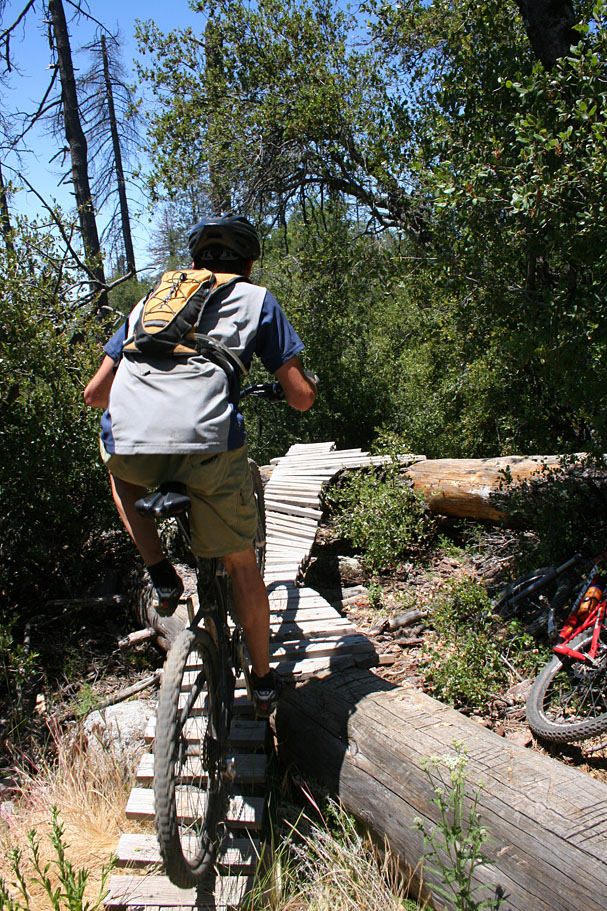
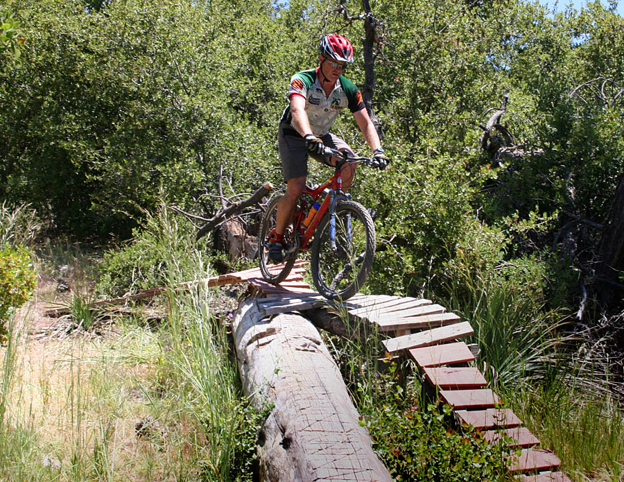
We even found a North Shore style bit of trail that had a functional obstacle
that takes you up and over a huge fallen tree.
This is a place where you should become inspired by either the trails or the
views from them.
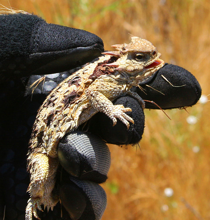
This critter seemed a little horny.
Videos
The Trail Gnomes have been busy out on the Hub Trails. This video hits up some of my older favorites as well as some of the newest loved on stuff out here.
I simply love Idyllwild. The
awesome people who are putting these trails together really know what
they are doing. This video was mostly shot in the Herkey Creek area but include
stuff closer to the town itself.
I consider this video to be Idyllwild Volume II as none of the
trails in my Idyllwild 2005 video are
included in this video.
Idyllwild 2005