
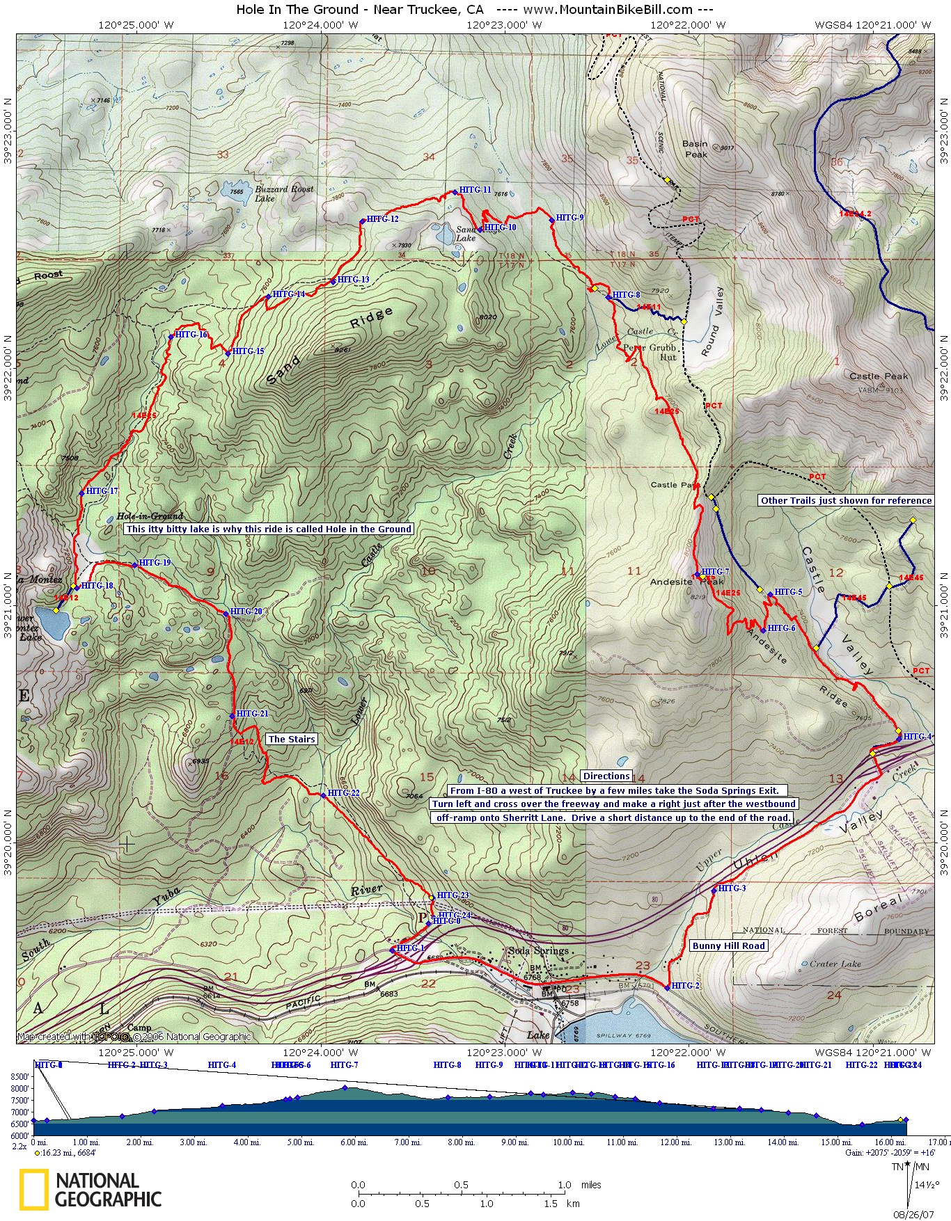
Hole In The Ground
Day Three of the Norcal 07 Trip
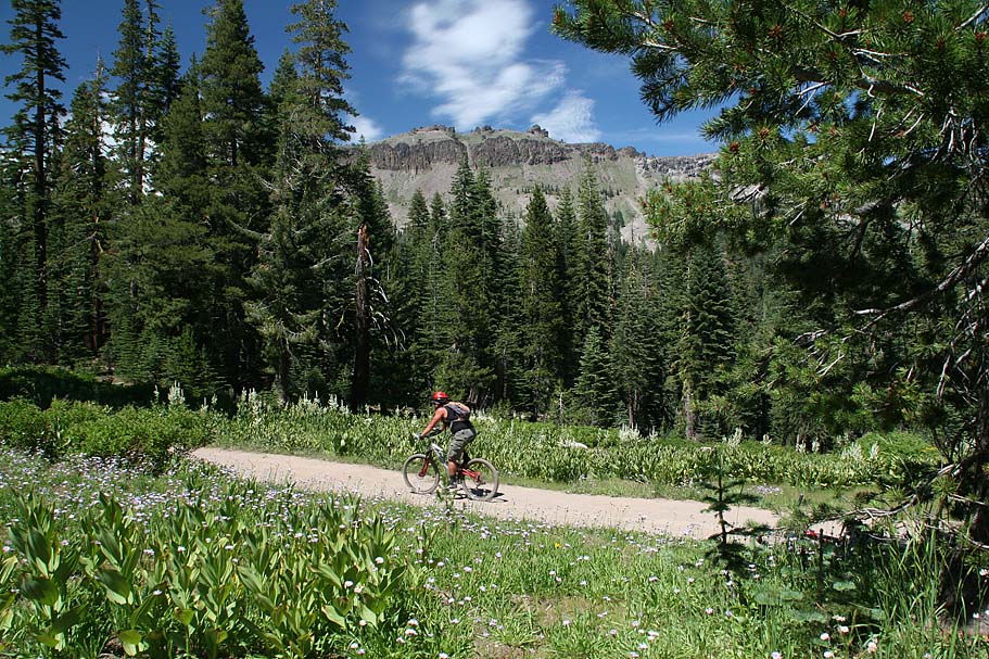
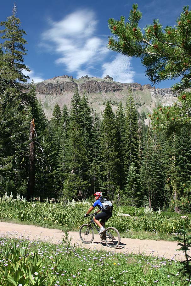
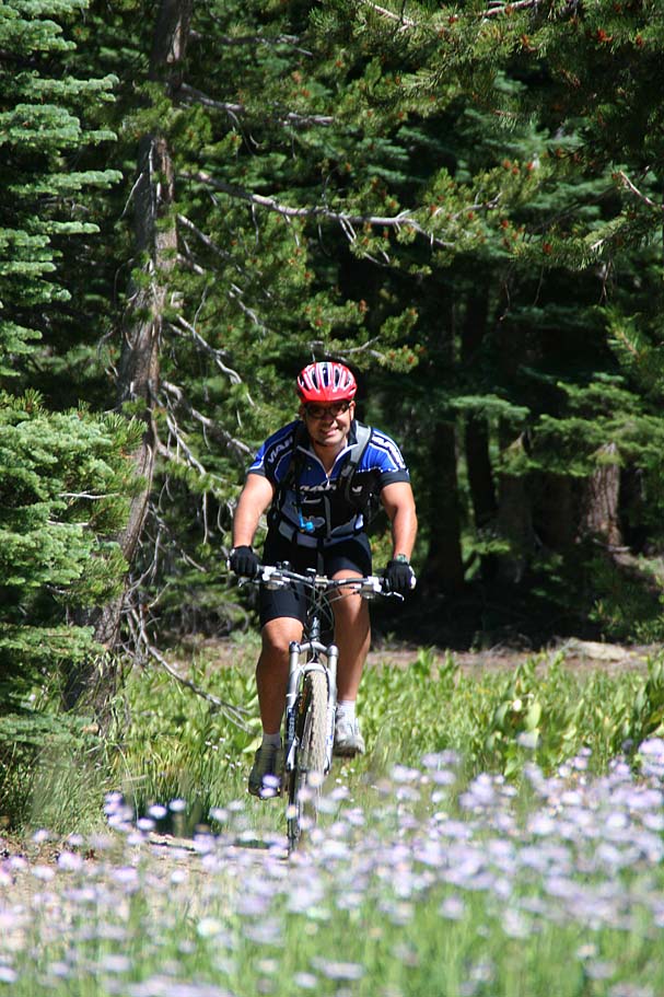
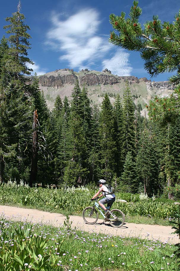
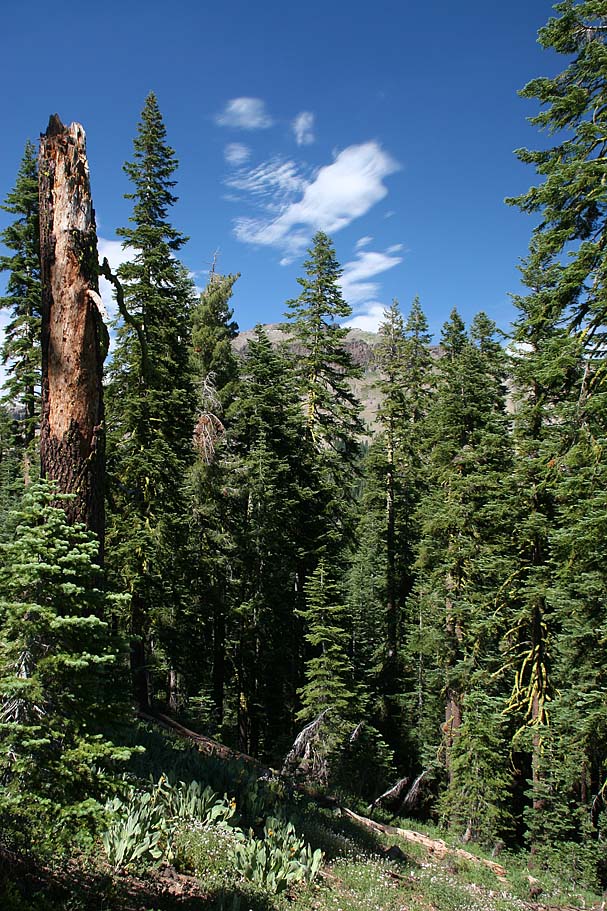
Today was an early day for us as we were up and rolling out of the RV park by 6AM. We were moving from the Santa Cruz area to Truckee up in the Sierra Nevada mountains for the next three days of the trip. We were a little concerned about getting through the bay area traffic, but things went quite well and by lunch time we were already in Truckee with everything setup and making a light lunch before heading out for the Hole In The Ground trail just a little west of Truckee. The place is known for being extremely picturesque with some nice singletrack geared toward strong intermediate riders. Done as a 17 mile loop with over 2,100 feet of climbing that combines some dirt roads, a bit of pavement as well as some sweet singletrack, you are bound to find something impressive about this ride.
 Directions:
There is a bit of interconnecting pavement between the bottom
of this route and the top. I recommend getting the climb out of the way in
the beginning. From I-80 west of Truckee by a few miles take the
Soda Springs Exit. Turn left and cross over the freeway and make a right
just after the westbound off-ramp onto Sherritt Lane. Drive a short
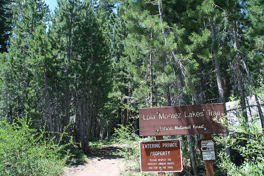
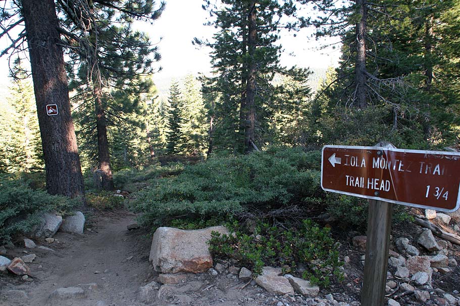
distance up to the end of the road where you will see a trailhead sign for the
Lower Montez Lake trail. Park near here.
Directions:
There is a bit of interconnecting pavement between the bottom
of this route and the top. I recommend getting the climb out of the way in
the beginning. From I-80 west of Truckee by a few miles take the
Soda Springs Exit. Turn left and cross over the freeway and make a right
just after the westbound off-ramp onto Sherritt Lane. Drive a short
distance up to the end of the road where you will see a trailhead sign for the
Lower Montez Lake trail. Park near here.

Ride Notes: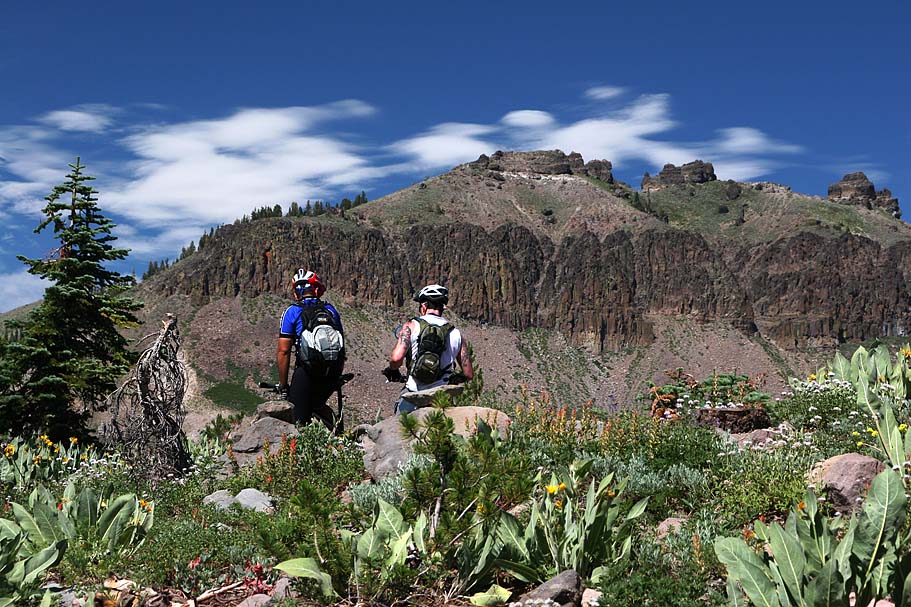
 From the lower trailhead (Mile 0) we went back down
Sherritt Lane, hung a left, crossed over the freeway and proceeded up
Donner Pass Road. At 1.7 miles (HITG-2), Look for a dirt road on
your left. There is a sign for the Central Sierra Snow Lab on the
left side of the road here as well. (Google maps calls this road Bunny
Hill road, but I saw no such sign). Hang a left and continue
climbing. You will go by some houses and there is one spot
where the main dirt road could be confused with a driveway. The
main road is the left option. If you miss it don't worry it
quickly becomes obvious if you go the wrong way. Shortly after the
houses you will come to fairly new gate across the road. (Judging
by the cut in the tree that was used to mount the gate. Proceeding
past the gate you will do some more climbing until at around 2.9 miles
you come out into the Boreal Ski Area parking lot. Go across
the parking lot and under freeway. After going under the freeway
the road turns to the east and goes up to the upper trailhead parking
lot. (HITG-4, 3.5 miles). There is an intersection of dirt roads
here and you will want to stay straight on the main fireroad that
goes gradually uphill. Beyond this point you start encountering some nice
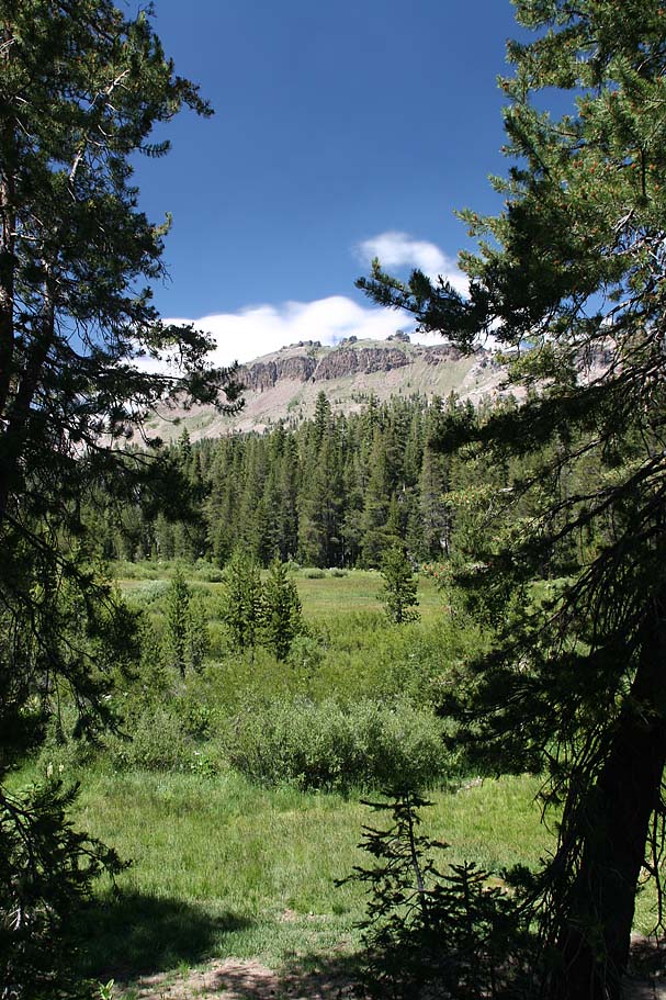
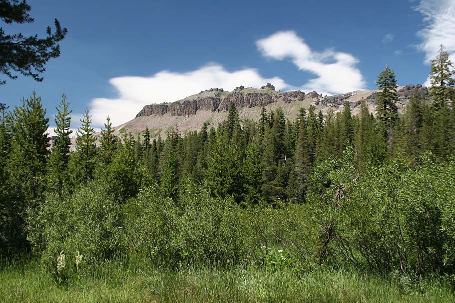
views of Castle Peak off to the east. The views just kept
getting better as there were also plenty of flowers in bloom.
From the lower trailhead (Mile 0) we went back down
Sherritt Lane, hung a left, crossed over the freeway and proceeded up
Donner Pass Road. At 1.7 miles (HITG-2), Look for a dirt road on
your left. There is a sign for the Central Sierra Snow Lab on the
left side of the road here as well. (Google maps calls this road Bunny
Hill road, but I saw no such sign). Hang a left and continue
climbing. You will go by some houses and there is one spot
where the main dirt road could be confused with a driveway. The
main road is the left option. If you miss it don't worry it
quickly becomes obvious if you go the wrong way. Shortly after the
houses you will come to fairly new gate across the road. (Judging
by the cut in the tree that was used to mount the gate. Proceeding
past the gate you will do some more climbing until at around 2.9 miles
you come out into the Boreal Ski Area parking lot. Go across
the parking lot and under freeway. After going under the freeway
the road turns to the east and goes up to the upper trailhead parking
lot. (HITG-4, 3.5 miles). There is an intersection of dirt roads
here and you will want to stay straight on the main fireroad that
goes gradually uphill. Beyond this point you start encountering some nice
views of Castle Peak off to the east. The views just kept
getting better as there were also plenty of flowers in bloom.
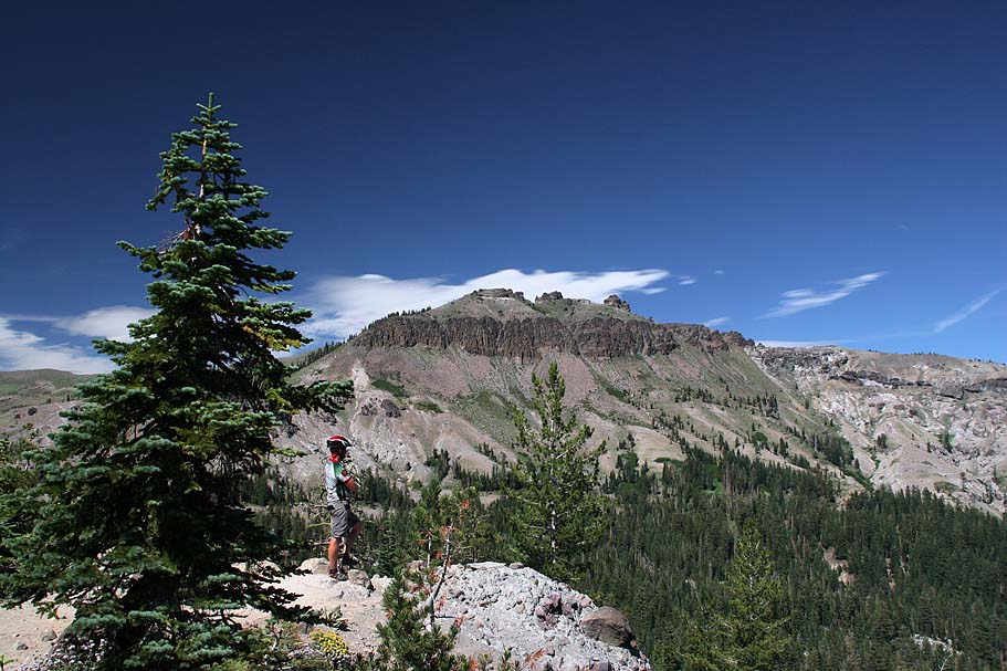
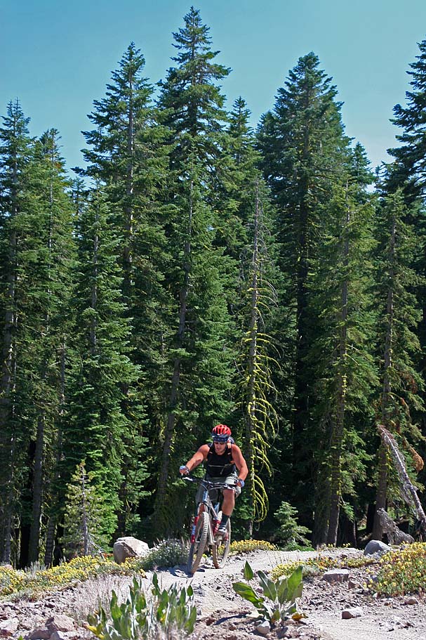
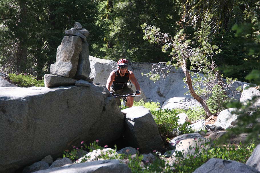
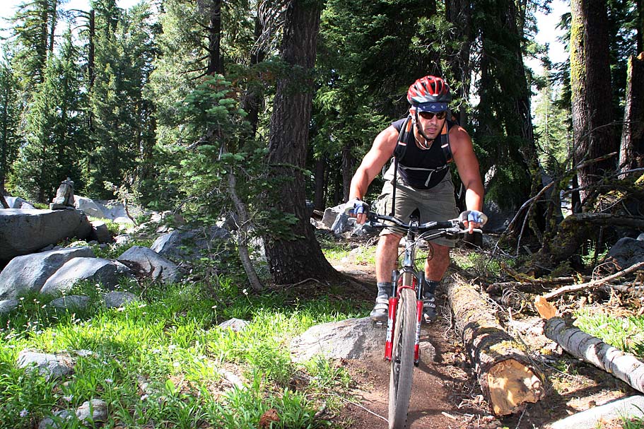
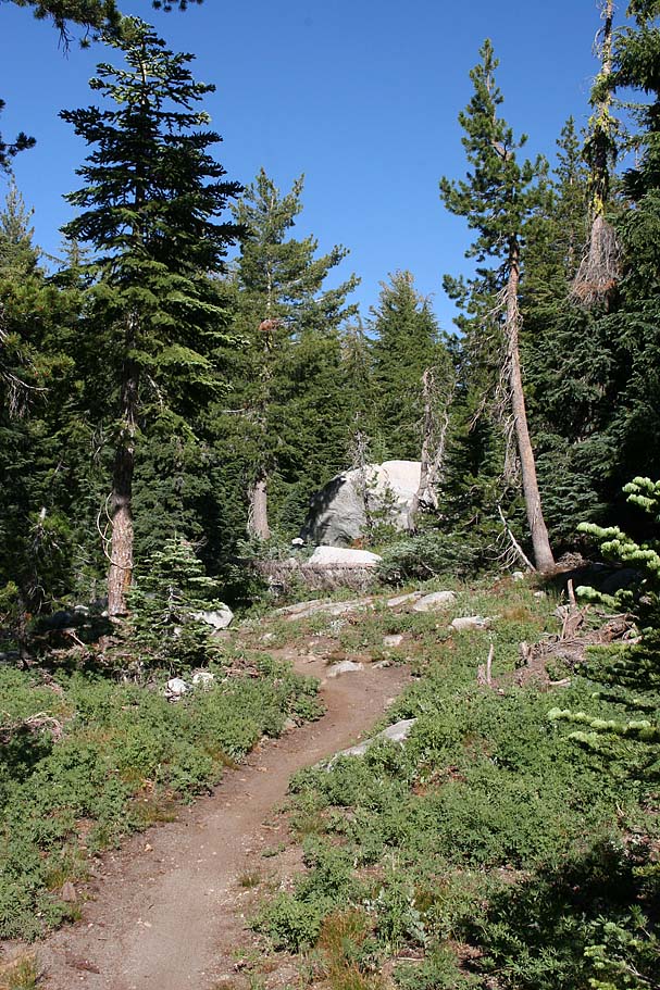
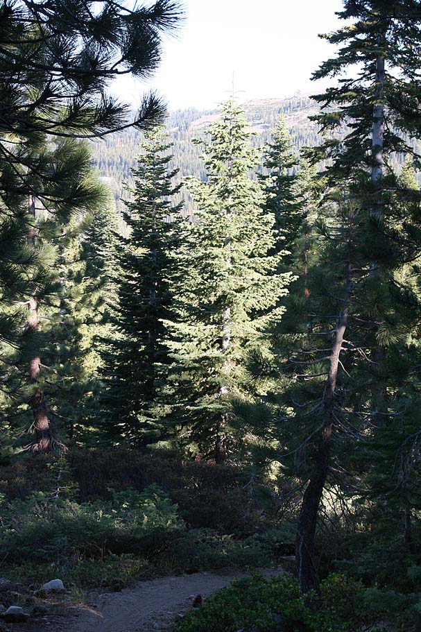
At 4.7 miles (HTIG-5) you come to the trailhead for the single track off to your left. There is a large kiosk map that is hard to miss. The singletrack from this point was pretty buff and the climbing started in a more earnest manner. It was still not terribly difficult. There are about a couple of handfuls of switchbacks on your way up onto ridge near Andesite Peak to navigate. Most of these switchbacks are reinforced with open lattice style pavers to help with erosion which also makes them easier to negotiate.
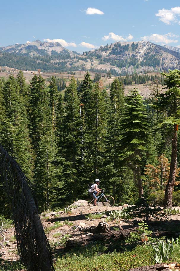
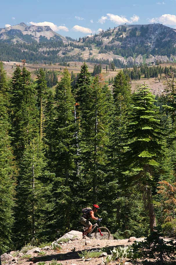
Views on the way up onto the ridge

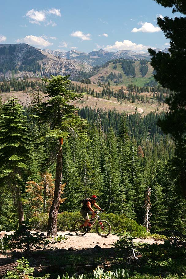
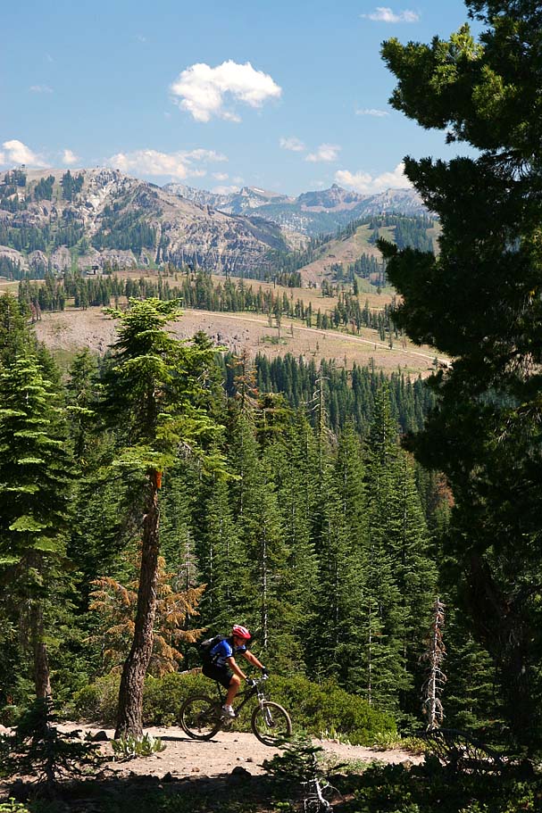
 At around 5.8 miles (HITG-7) you will peak out up on the
ridge. There is a spur trail off to the left right around this
area that goes up to Andesite Peak at 8,219 feet. With the
trail you are on already at about 8,000 feet, in theory it should not be too
much of an effort. We did not not go up to peak, hence it is still
a theory.
At around 5.8 miles (HITG-7) you will peak out up on the
ridge. There is a spur trail off to the left right around this
area that goes up to Andesite Peak at 8,219 feet. With the
trail you are on already at about 8,000 feet, in theory it should not be too
much of an effort. We did not not go up to peak, hence it is still
a theory.
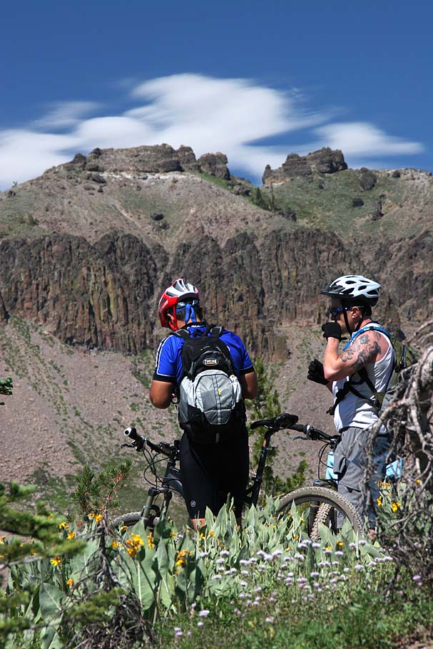
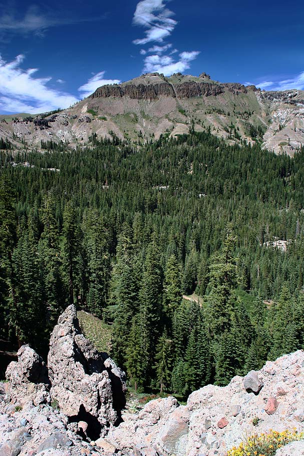

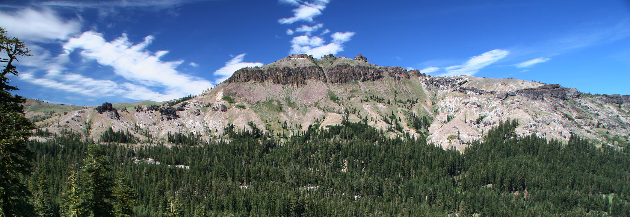
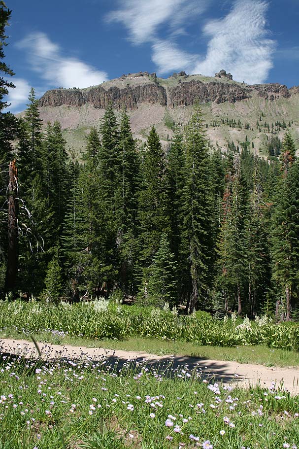
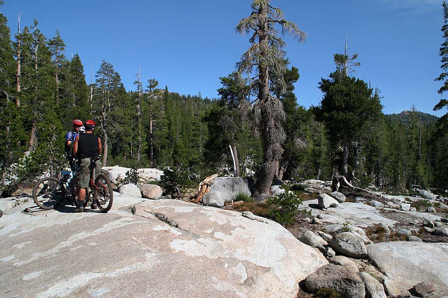
We did just a little bit of ridge top riding before descending off of the ridge. The views from on top of this ridge, particularly of Castle Peak, were just simply incredible and we spent quite bit of time taking it all in.
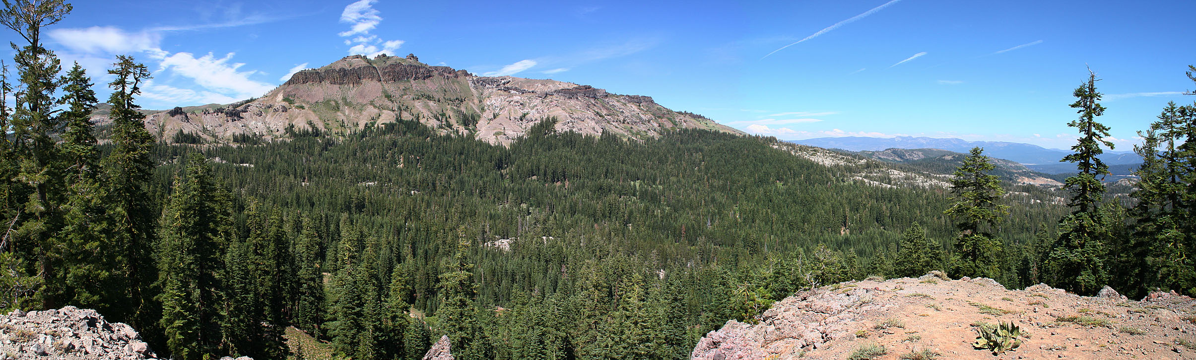
Castle Peak - Elevation 9,103 feet
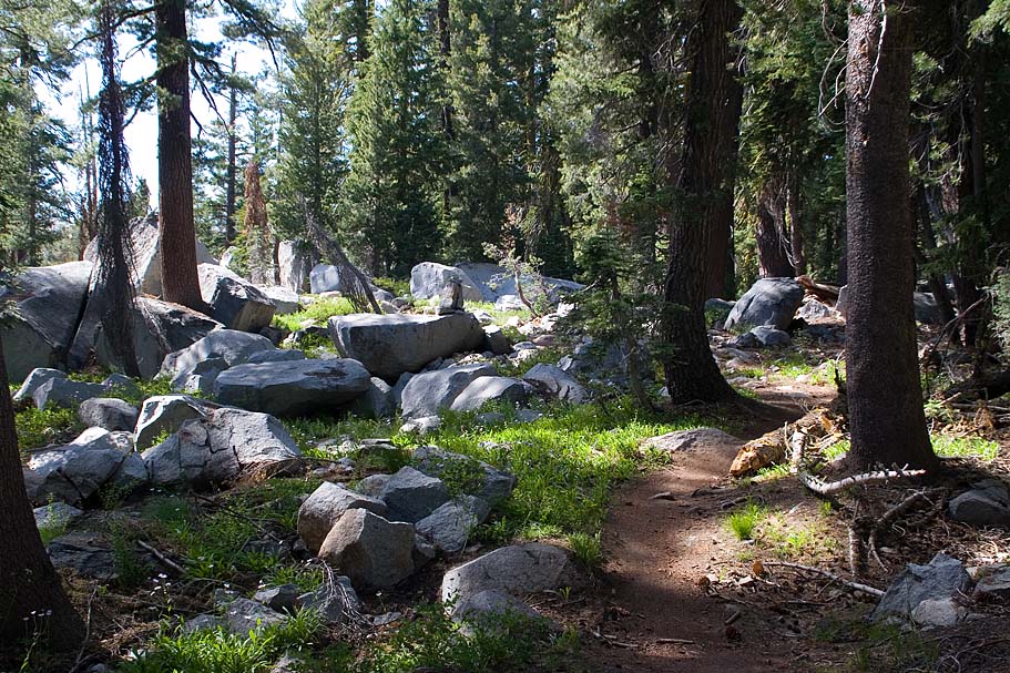
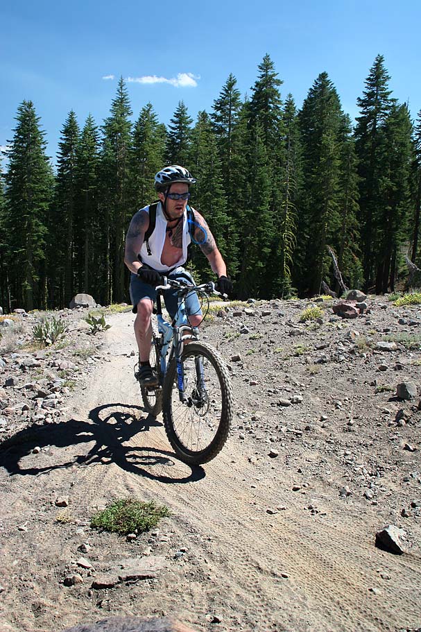
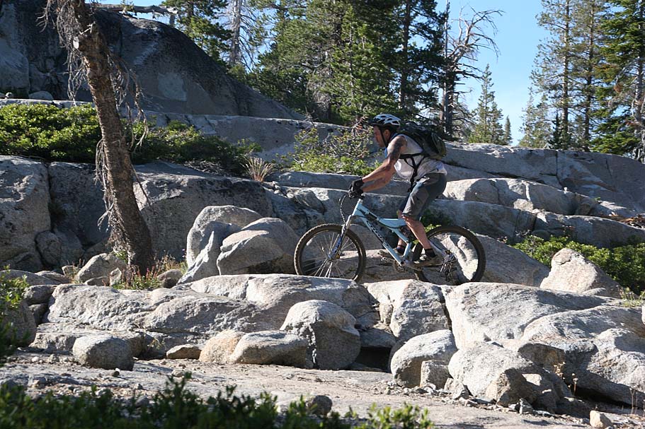
 Once we descended off the ridge the technical aspects of the trail
picked up a bit. Nothing hairy but enough to keep you from
drifting off into la la land while you enjoy the scenery. Also
while the trail was mostly downhill there were enough quick ups here and
there to keep you working.
Once we descended off the ridge the technical aspects of the trail
picked up a bit. Nothing hairy but enough to keep you from
drifting off into la la land while you enjoy the scenery. Also
while the trail was mostly downhill there were enough quick ups here and
there to keep you working.
 At about 7.8 mile (HITG-8) you pass a connector trail that heads off
to the east to hook up with the Pacific Crest Trail. Shortly after
this point, you will start noticing options to go off and play on fields
of granite. I always like playing on this stuff, it is
physically challenging while the mental game of trying ferret out a line
is always fun.
At about 7.8 mile (HITG-8) you pass a connector trail that heads off
to the east to hook up with the Pacific Crest Trail. Shortly after
this point, you will start noticing options to go off and play on fields
of granite. I always like playing on this stuff, it is
physically challenging while the mental game of trying ferret out a line
is always fun.
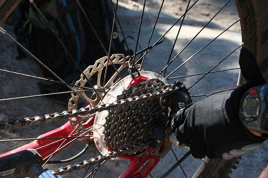
 Somewhere
around 9.1 miles (Just before HITG-10), Fady had a breakdown with his
bike. The freewheel stopped engaging so he was not going to be
pedaling anywhere. We tried to rig a solution, but
that ended up not working so he was relegated to "Cyclocoasting". We were pretty much about the
farthest away from either trailhead as we could be and while we had
plenty of daylight left, the safety buffer had suddenly
shrunken. We decided that we would keep moving forward as
nearly all of the climbing should be over.
Somewhere
around 9.1 miles (Just before HITG-10), Fady had a breakdown with his
bike. The freewheel stopped engaging so he was not going to be
pedaling anywhere. We tried to rig a solution, but
that ended up not working so he was relegated to "Cyclocoasting". We were pretty much about the
farthest away from either trailhead as we could be and while we had
plenty of daylight left, the safety buffer had suddenly
shrunken. We decided that we would keep moving forward as
nearly all of the climbing should be over.
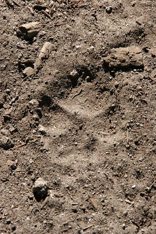 I guess Heath had watched "When Bears Attacks 3" sometime within the
last few weeks as he had mentioned some concern about bears and mountain
lions earlier in the week. This was all I needed to get some good trail ribbing in.
Several times earlier in the ride we had come across bear scat on the
trail and I could not help myself from talking about bears and mountain
lions. It was shortly after Fady's bike breakdown while he was still
pushing his bike uphill that we came across these tracks.
I'm not sure if these are mountain lion tracks or not, but it was close
enough. My comments like "Yep this is the time of the day
when the Kitty's start coming out." were met with chuckles with the a
slight undertone of "Shut the F$%k up A$$hole".
I guess Heath had watched "When Bears Attacks 3" sometime within the
last few weeks as he had mentioned some concern about bears and mountain
lions earlier in the week. This was all I needed to get some good trail ribbing in.
Several times earlier in the ride we had come across bear scat on the
trail and I could not help myself from talking about bears and mountain
lions. It was shortly after Fady's bike breakdown while he was still
pushing his bike uphill that we came across these tracks.
I'm not sure if these are mountain lion tracks or not, but it was close
enough. My comments like "Yep this is the time of the day
when the Kitty's start coming out." were met with chuckles with the a
slight undertone of "Shut the F$%k up A$$hole".

 Somewhere around either HITG-13 or 14 we crossed a
fireroad. At this point we had a discussion about wither to bail
out on the road on continue on the trail. We ultimately
decided that we knew where the trail goes, yet we could get turned
around with multiple fireroads in the area. Since it was
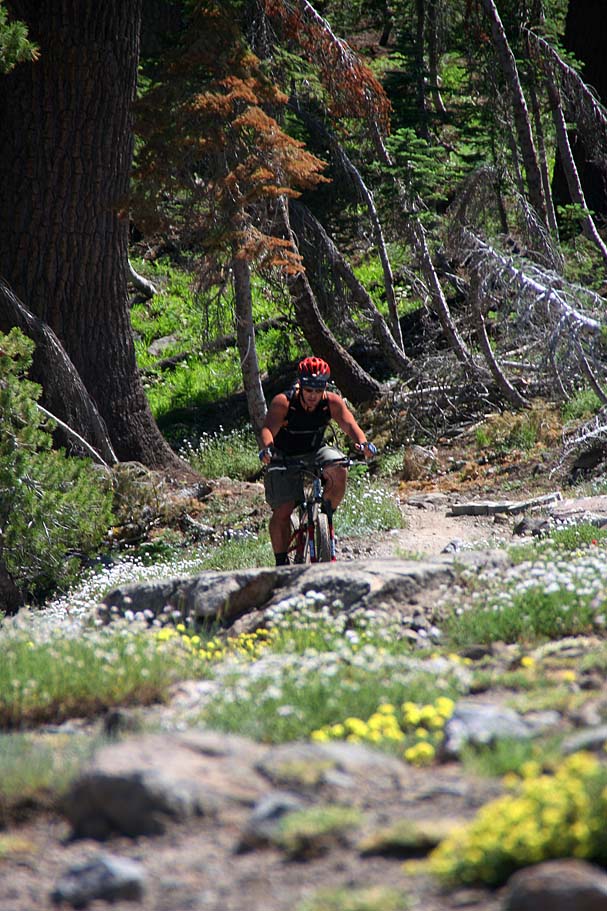
mostly downhill from here we took the singletrack. From here
there was plenty of fun to be had with technical sections here
and there as well as more granite slabs to play on.
Somewhere around either HITG-13 or 14 we crossed a
fireroad. At this point we had a discussion about wither to bail
out on the road on continue on the trail. We ultimately
decided that we knew where the trail goes, yet we could get turned
around with multiple fireroads in the area. Since it was
mostly downhill from here we took the singletrack. From here
there was plenty of fun to be had with technical sections here
and there as well as more granite slabs to play on.

 At
13.2 miles, after rolling along the edge of a meadow, we came to the trail
that goes off to Lower Lola Montez Lake. Supposedly it is only
a 1/10th of mile out to the lake, but considering Fady's bike condition
we thought it better to get moving. There was a bit of short
climbing involved and we thought about setting up a tow rope with a
couple of inner tubes but Fady was making good time on foot so we kept
going. Soon we came out onto a fireroad that was on a slight
downhill so the Cyclocoaster was back in action.
At
13.2 miles, after rolling along the edge of a meadow, we came to the trail
that goes off to Lower Lola Montez Lake. Supposedly it is only
a 1/10th of mile out to the lake, but considering Fady's bike condition
we thought it better to get moving. There was a bit of short
climbing involved and we thought about setting up a tow rope with a
couple of inner tubes but Fady was making good time on foot so we kept
going. Soon we came out onto a fireroad that was on a slight
downhill so the Cyclocoaster was back in action.

 At around HITG-19 the fireroad turned slightly uphill, this time
with us being on a fireroad we could get a rider on each side of Fady
and with a hand on his back we could keep him going by pushing him
while we pedaled. It was a fine example of teamwork. Soon the
road turned downhill and with a few hard pedal strokes and a good push, Fady shot off down the road like a rocket.
At around HITG-19 the fireroad turned slightly uphill, this time
with us being on a fireroad we could get a rider on each side of Fady
and with a hand on his back we could keep him going by pushing him
while we pedaled. It was a fine example of teamwork. Soon the
road turned downhill and with a few hard pedal strokes and a good push, Fady shot off down the road like a rocket.
 At HITG-21 (14.6 miles), the trail turns off to the
left while the
dirt road continues straight. This section
of singletrack is known as "The Stairs" as it is quite steep and has lots
of lumbered steps
as well as a few rock steps as it dumps about 340 feet in less than 1/2
mile. This trail brought us out onto a gravel double
track where we hung a left.
At HITG-21 (14.6 miles), the trail turns off to the
left while the
dirt road continues straight. This section
of singletrack is known as "The Stairs" as it is quite steep and has lots
of lumbered steps
as well as a few rock steps as it dumps about 340 feet in less than 1/2
mile. This trail brought us out onto a gravel double
track where we hung a left.
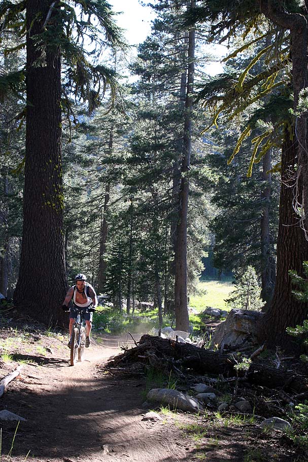
At HITG-22 we crossed a creek and started climbing. This climb is a bit of a bummer as the gravel can sap your energy. There are a couple well worn lines in the gravel so if you stick to those lines the climbing will be a little easier. After about 3/4th of a mile we made a right back onto singletrack (HITG-23) where we did some mild climbing for less than a 1/4 miles back to Sherritt Lane and our car.
That night we once again ate like kings before crashing out while one of the handfuls of Mountain Biking DVD's played on the TV. Tomorrow was going to a return visit for me to Lake Tahoe.
Video
In July of 2007, I rode the "Hole In The Ground" trail in Sierra Nevada mountains near Truckee CA. This is an extremely pictureque place with nice singletrack that favors a strong intermediate rider. There was plenty of incredible flowers in bloom while we were there as well as vibrant greens from grass that seem to be happy to be free of snow.