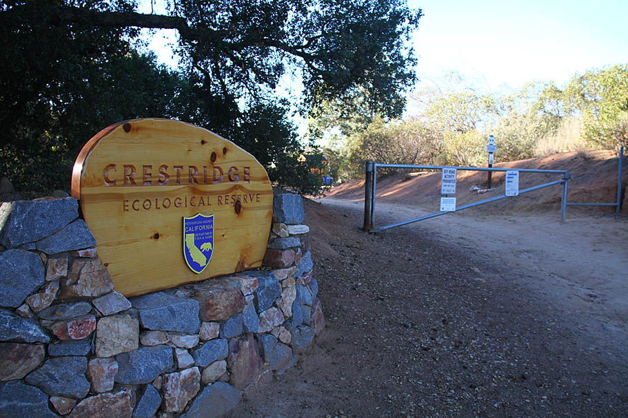
Crest Ridge Ecological Reserve Area
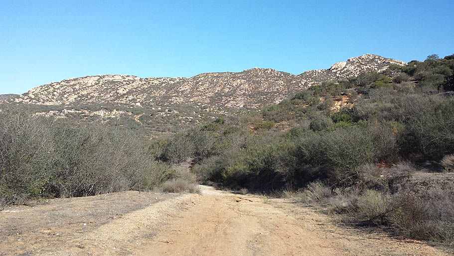
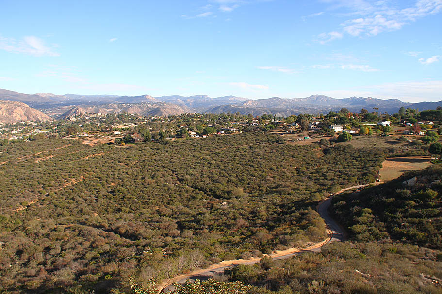
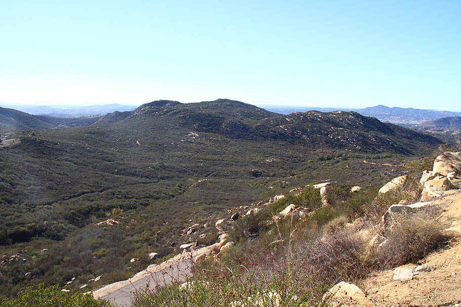
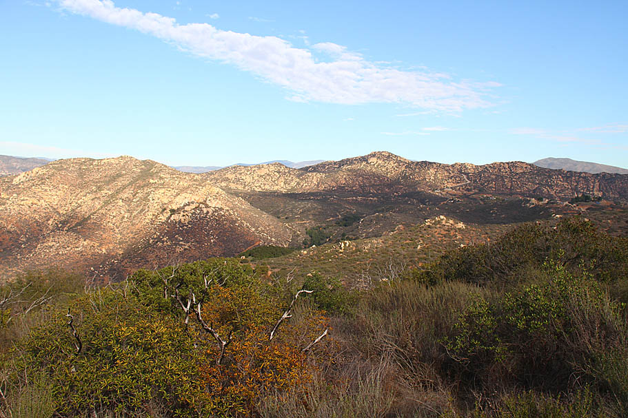
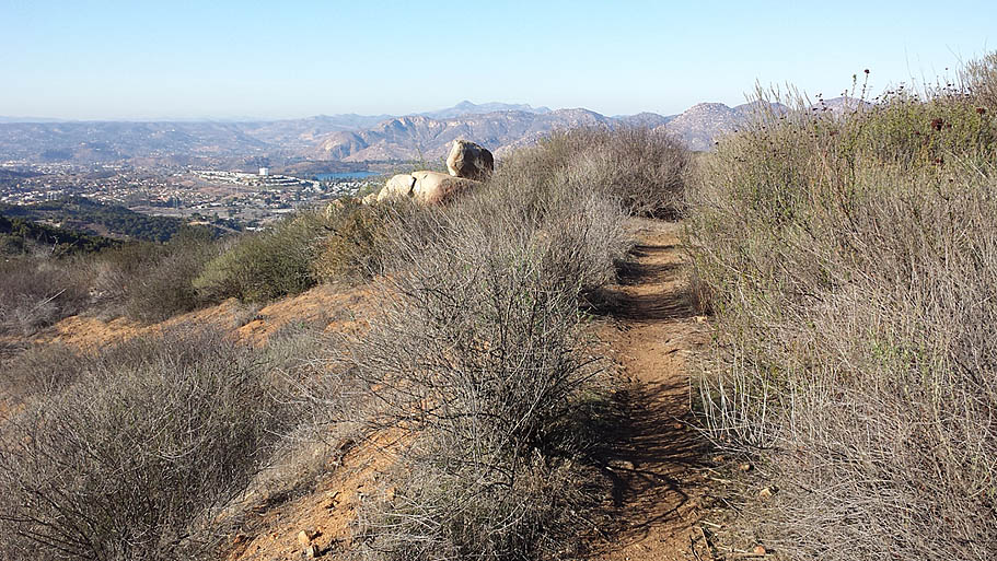
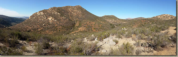
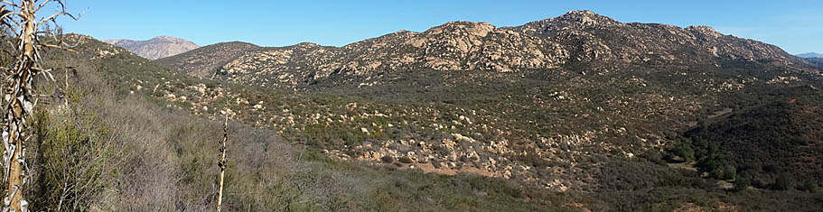
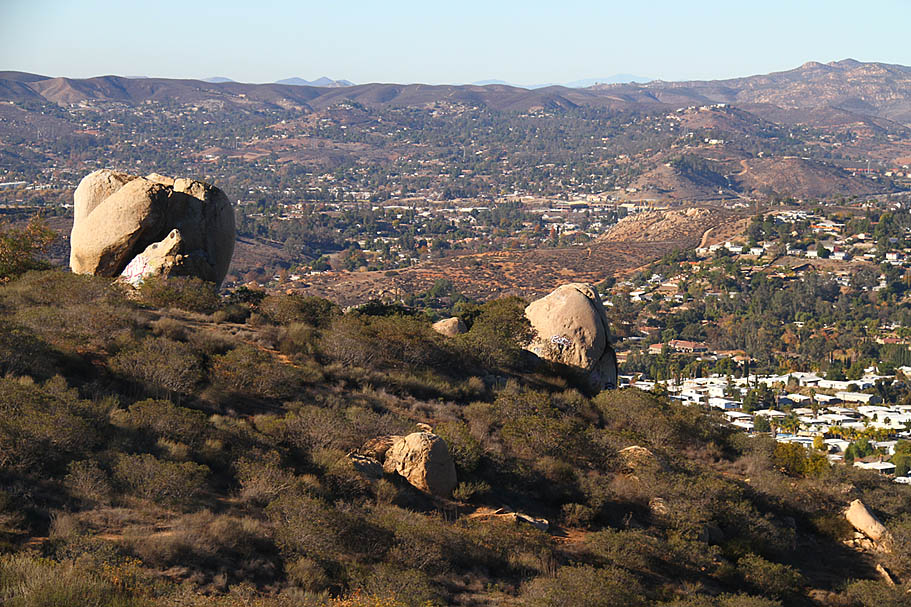
Crestridge Ecological Reserve is a 3000 acre parcel of land between El Cajon and Alpine. It is bordered by Interstate 8 on the north and west and the community of Crest on the south and east. This area is jointly managed by the Endangered Habitats Conservancy and the California Department of Fish and Game which in most places in of California would mean mountain bikers would be shutout. This is not the case out here as the Earth Discovery Institute which is under contract to do the actual management of this place seems to get the bigger picture that responsible recreational use and conservation can coexist and be mutually beneficial. This place has seen a lot of volunteer hours from mountain bikers to help not only create new trails but to repair some long-standing damage from agriculture and motorized vehicle recreation. There is a lot of climbing to do out here if you are looking to get any miles at all and there are plenty of fire roads. There are also some nice single racks as well. For those of you familiar with Daley Ranch this is somewhat similar but there are more single tracks out here.
While the predominant amount of trails I describe here are on the reserve proper there are some trails that are not. Additionally some of the trails here are in the "social" category. The one thing that is exceptionally lacking (as of 2014) about the reserve its virtual absence of trail signs. This pretty much puts each rider in a position to make up their own mind. In this review I'm going to discuss not only the official trails but some the unofficial ones as well. I'm assuming that in the future some trail signs will go up and I am quite certain that trail changes will continue to occur. If you see a sign, please obey it, if you see a trail on my map that looks to have been blocked off, it was probably done as part of the overall plan that mountain bikers are actually involved in.
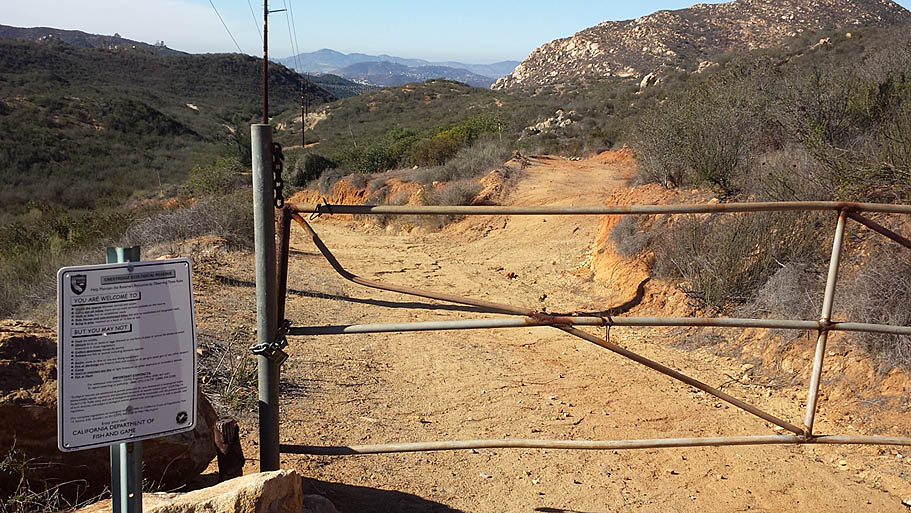
The "basic" loop out here will get about 16 miles with about 2,500 feet of climbing. It is very easy to feel like all directions are uphill out in this area and this place can get exceptionally hot during the summer. There is water at the visitor center and their is a gas station less than a block away from the Park and Ride trail head. You should also be aware that the reserve does not allow night riding in this area.
DIRECTIONS: There are quite a few trail head./access point into this area. I am going to just discuss a few.
- Park and Ride (My Primary) : From San Diego, take I-8 east through El Cajon. Exit Los Coches Rd, turn right. Go 450 ft. Take the 1st left onto Camino Canada. Go 0.2 miles and turn left into the Park and Ride directly across from East County Drive. Get directions from your current location.
- Von's/Walmart Shopping Center: From San Diego, take I-8 east through El Cajon. Exit Los Coches Rd, turn right. Go 450 ft. Take the 1st right onto Camino Canada. Got 0.2 miles. Park besides Vons. Get directions from your current location.
- Visitor Center: From San Diego, take I-8 east through El Cajon. Exit Greenfield Dr exit. Turn right and go 0.5 miles. Turn left onto La Cresta Rd. Go 3.1 miles. Turn left onto Mountain View Rd. Go 1.1 mile. Turn left onto Horsemill Rd. Go 0.6 miles to the end of the road. Park along the road near the entrance to the Visitor Center. Get directions from your current location.
NOTE: As this is an ecological reserve night riding is not allowed in the reserve.
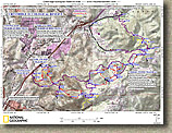
The map to the left is of the entire area that not only includes the reserve but also some of the surrounding properties. In my descriptions below I include a close up of sections of this map to help you follow along with my ramblings (Good Luck!). Word of caution about the electronic GPS files below, if you think you can just upload these files to your GPS and blindly follow the track you may find yourself disappointed. There are multiple tracks from multiple trips as well a segments cut in and out as I put the maps together. The files will certainly show you the trails on your GPS but you will need read my description as well. I often go out with my GPS for the purpose of mapping all the trails not necessarily riding the trails along the best/funniest route. Here are the electronics files related to this area: GPX TOPO! KML GDB (Note the KML file has some of the pictures here referenced for you when using the Google Earth Mobile edition )

2022 Update: The GPX files above contain multiple tracks which give fits to some mobile mapping apps. Here are two additional GPX files that are more mobile app freindly in that they contain just a single route each.
Park and Ridge Start: This one starts from the park and ride and does most of the west and middle sections all the way to the visitor center. Trailforks Users Here
East Side Loop: This route will take you on the Middle and Eastern trails as well as the drop down into Flynn Springs County park and the truck trail climb/return. Trailfrorks Users Here


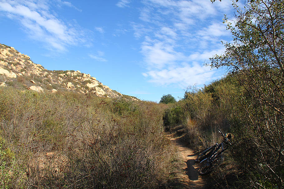
From this junction the Wally-World trail will twist back and forth as it undulates along the hillside around the shopping center. When you are directly behind Walmart (CR-004) the singletrack comes out at the end of service road and then bends back towards the hillside to your left. From here the trail continues its twisting and undulating action until it connects up with the main fireroad (CR-005) that goes up the hillside to the west of the shopping center. This fireroad is Valleyview Truck Trail.

From there you will climb along the fire road for 3/4th of mile until you come to the junction with another fireroad (CR-007) going off to your right and uphill toward some power line towers. Valleyview Truck Trail continues on straight while a singletrack goes off to your left. You will be taking the singletrack off to your left at the end of the return trip so take note of it. Take a right here and grunt your way up the hill for 1/4th of a mile where you will see an singletrack going off to your left. The trail you are going to take goes up to the saddle between the two hills off to your left/east. You will also notice that there is a steep rutted looking singletrack coming down from the peak of the hill to the south of the saddle (CR04-2). This is not a legal trail within the system but it also not marked. It is really rutted and quite frankly not worth poaching. So stay to your left at the fork just after you head east on the singletrack at CR-03 to stay on the saddle singletrack.

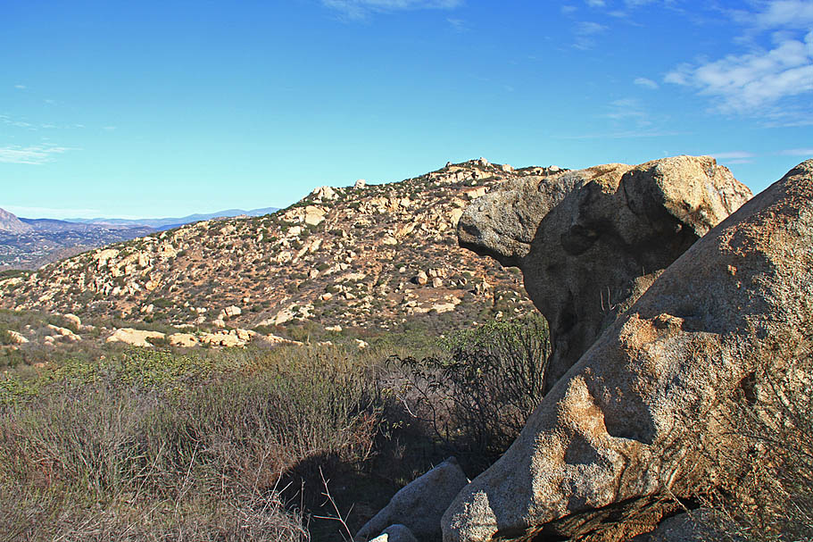
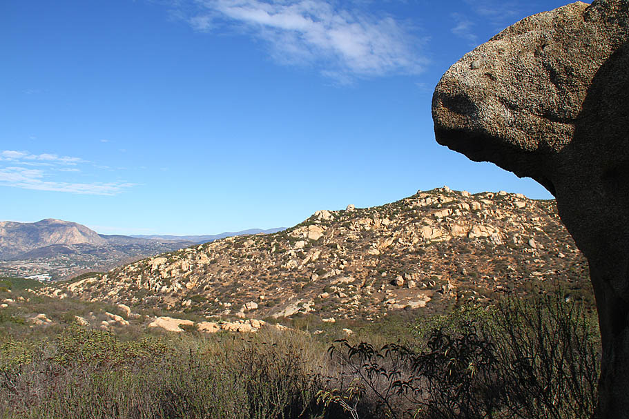
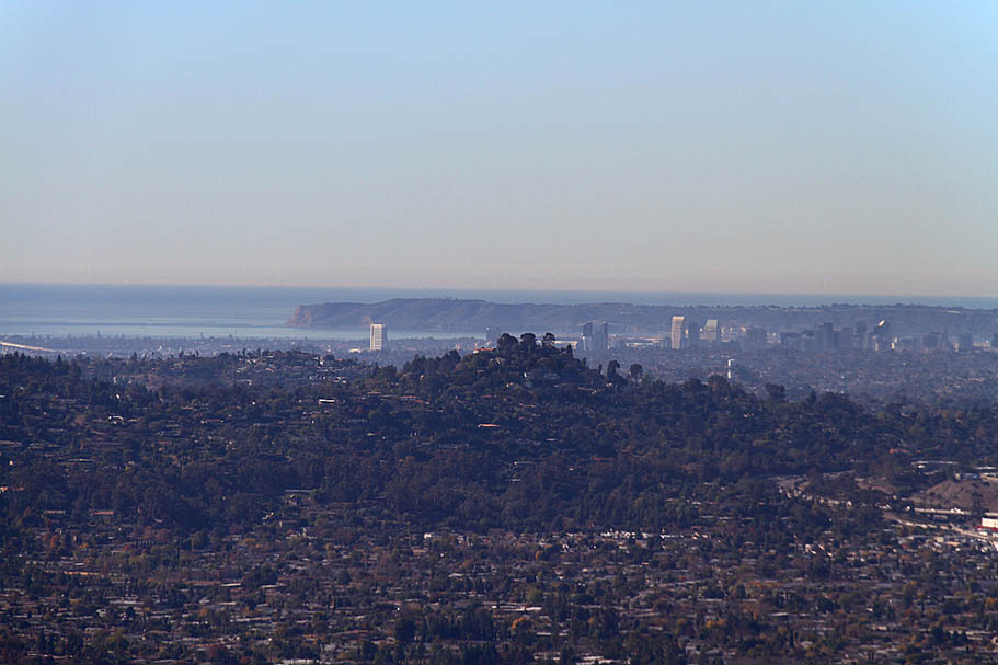
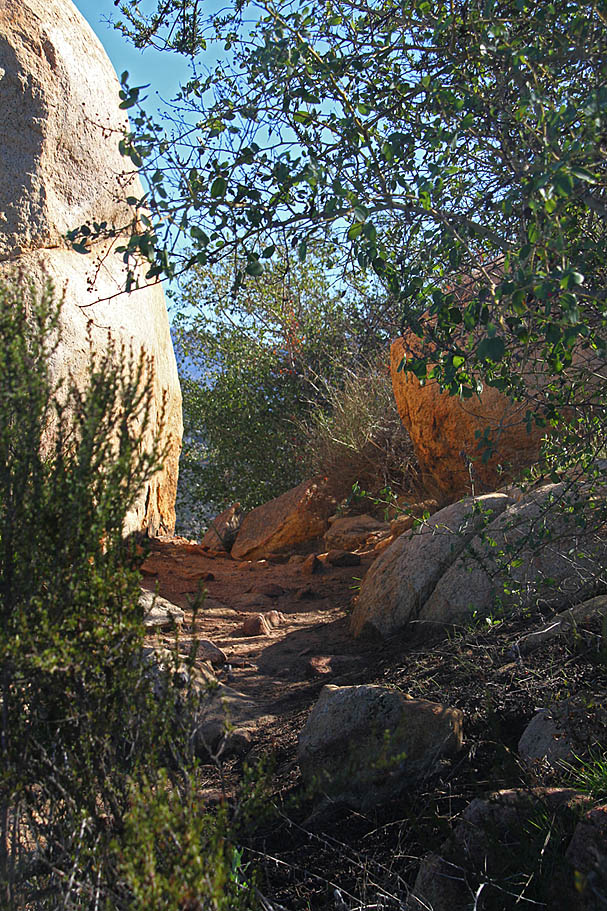
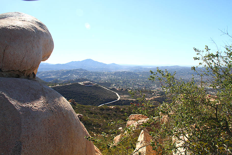
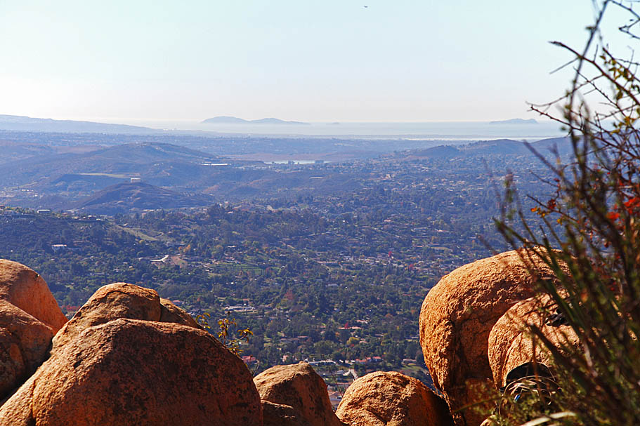
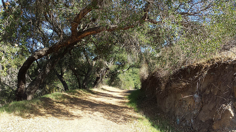
This is a nice singletrack that has mixture of high scrub brush, grass and trees as it goes up to the saddle. Once at the saddle the trail turns sharply uphill for final push to come out on another old fireroad at CR-04. At this point you can continue east or you can get in an out-and-back climb up to the peak of that south side hill. There are some really nice views of downtown, Point Loma and the Pacific Ocean to be seen there on clear days from the peak at CR-04-2. The trail up to the peak from the east is legal but continuing on to the west from the peak back to CR-03 is not. I personally think the descent going back to the east is more interesting.
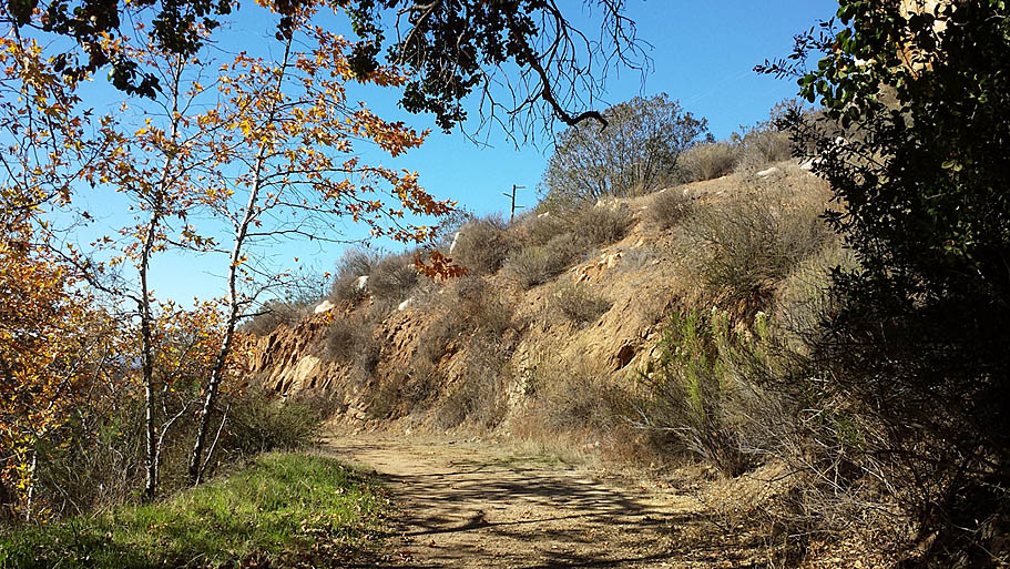
Continuing eastward from CR-04 you quickly descend down along an old fireroad into the top of a valley. Your first junction is with a fireroad going off to your right (CR-05). The main fireroad continues eastward. (Toward the houses across the valley) The main route is straight ahead to the next fireroad junction on your left (CR-10). If you choose to make a right at this first junction (CR-05) there are some trails down in this area. The fireroad makes a sharp left just a little south of where it start (CR-06). There is a trail/really old fireroad coming in from the south here as well. This is an illegal trail that is predominately used by equestrians as their on private access into the reserve. It is rideable for a while before it get all chewed up from the combination of bad soil, steep grades and hoof damage. Don't bother investigating this trail unless you like slogging your bike through deep sand on steep grades.

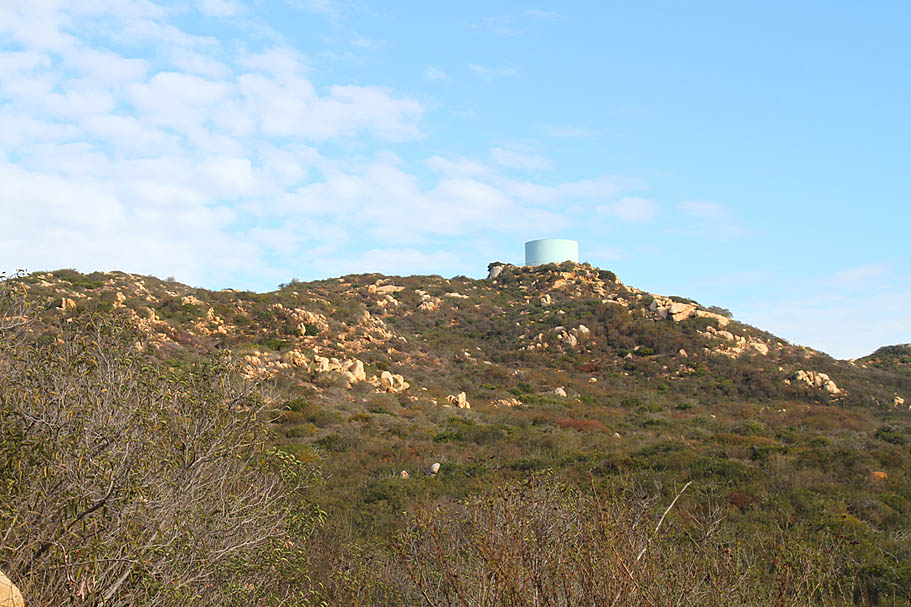
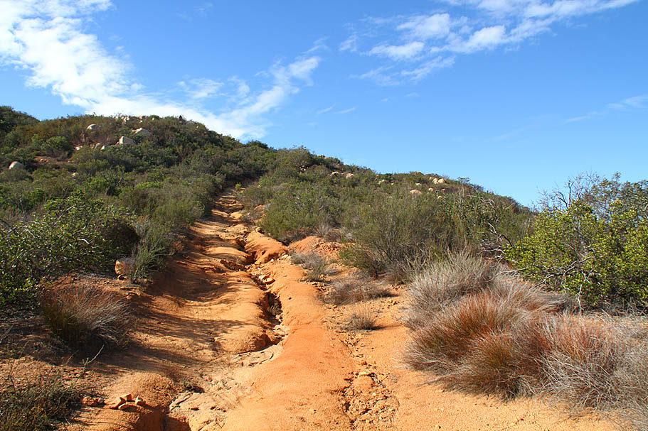
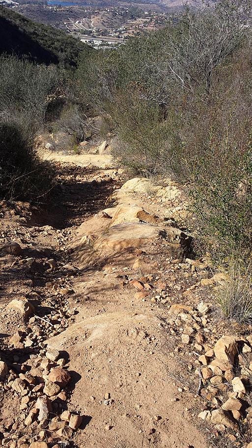
Descending on the fire road from CR-10 can be a little zippy. After 1/4th of a mile you come to a junction of another trail (CR-11). either way will work but if you take the right-hand fork it will lead you over to the junction of the trail that goes to the water tower (CR-12). Note the old fireroad trail between CR-12 and CR-14 is not on the map but it sees plenty of usage. Not matter which fork you take the trail will bring you out of onto the Valleyview Truck Trail (CR-15) where you will hang a right and go uphill for 1/4th of a mile where the fireroad tops out (CR-16) with a singletrack heading off to the right. You can stay on the fireroad and drop down into the next valley where you can pick up a nice singletrack off to your right at CR-19.
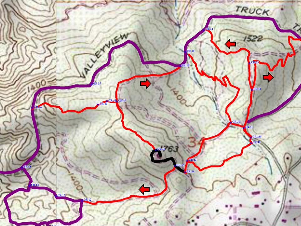
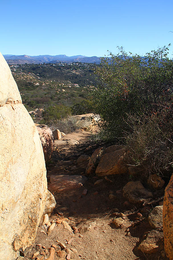
Taking the a right on the singletrack at CR-16 will take you over to the water tower at CR-46. The first section of the singletrack between CR-16 and CR-47 is a nice section of trail that undulates and twists upwards. It is not on the official map, but it clearly well used. Once you get to CR-47 you are back on the official trail map. If you turn left at CR-47 you are going to descend down an old fireroad turned trail back to the Valleyview Truck Trail at CR-18. This section of trail is for the most part is a crappy rutted out mess and it not used much. The unofficial trail between CR-16 and CR-47 is a much more sustainable and interesting trail. Why this section is official and the CR-16 segment is not is a bit of head scratcher to me. So you will clearly want to stay on the ridge line and head south east towards the water tower The closer you get to the tower, the steeper and more challenging the trail gets so dabs and a little pushing could end up on your dance card.
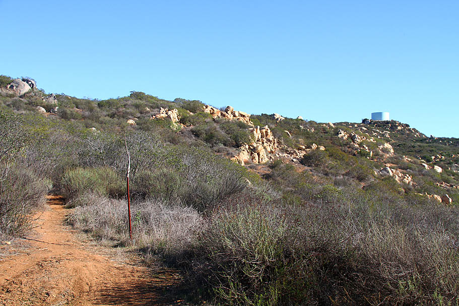
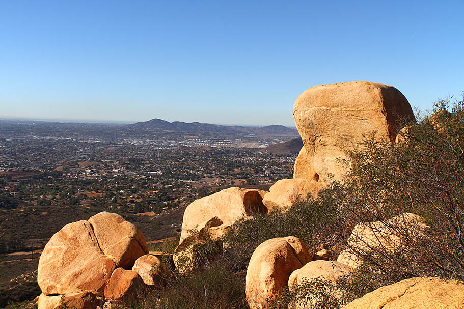
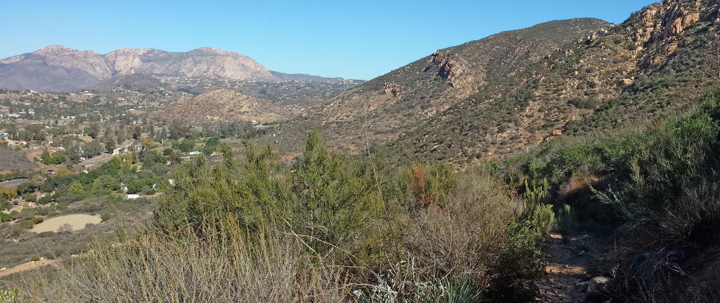
The trail pops out onto the paved road just before the water tower It is well worth it to hang the left and check out the views from around the tower. The hill to your east has a couple of trails on it with a nice trail in the valley between here and there. To the west you can still get some views of the Pacific on clear days.
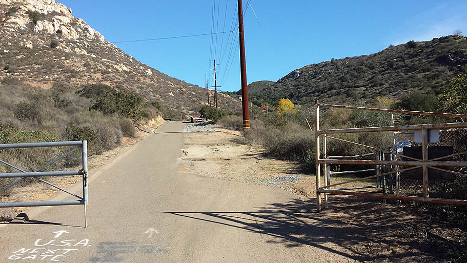
From the water tower blaze down the pavement. Near the bottom of the pavement, the singletrack described earlier heads off to the right and back down into the valley where you came from earlier. Continue on the pavement just a little further and will you see a trail going off to your right near a gate that blocks the road from vehicle traffic (CR-44). Take this singletrack off to the right. Shortly after you get on this trail you will see a trail coming in from your right (CR-43). The official trail is the one on the right (That goes over to CR-42) but the trail to the left (That goes to CR-20) gets just as much traffic. Either one is good but in this direction the one to the left is quicker. Taking the left hand route you will come out to CR-20 where you will see a singletrack coming in from your left. Bear to your right and take the fireroad up to the junction with another fireroad at CR-21.
The hill in front of you to the north has three trail on it. All of which should be ridden. The trail between CR-19 and CR-20 that goes along the western side of this hill is the easiest single track of the trail to climb. It plenty fun to descend as well (Thanks SDMBA!) Here is the looping of these together I recommend. From CR-21, head down the fireroad to the Northeast (Purple on my map). Just as you are gather speed peel off to the right where you will start and easy climb. At CR-22 there will be a fork in the trail, bear to your left where you will skirt the peak by just a little to the west. At CR-23, stay to your right (there is cut over to the other trail you will ride later). You will now get to descend a little over a 1/4th of mile down to Valleyview Truck trail at CR-24. Hang a left and go a short distance (1/10th mi) to CR-19 where you will pick a singletrack on the left.
This trail is quite a nice well- built singletrack with lots of grade reversals and twists as it works it way back to CR-20 in 1/2 a mile. Once back at CR-21 take the fireroad again and peel off onto the singletrack off the left. This time when you get to the fork at CR-22 stay to the right. You will soon pass over the small summit and then you will start descending. There are lots twists as well as small trail features as you work your way down the hill to the northeast where you will pop out on Valleyview Truck Trail at CR-25.
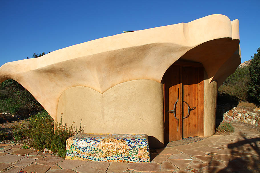
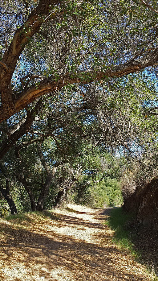
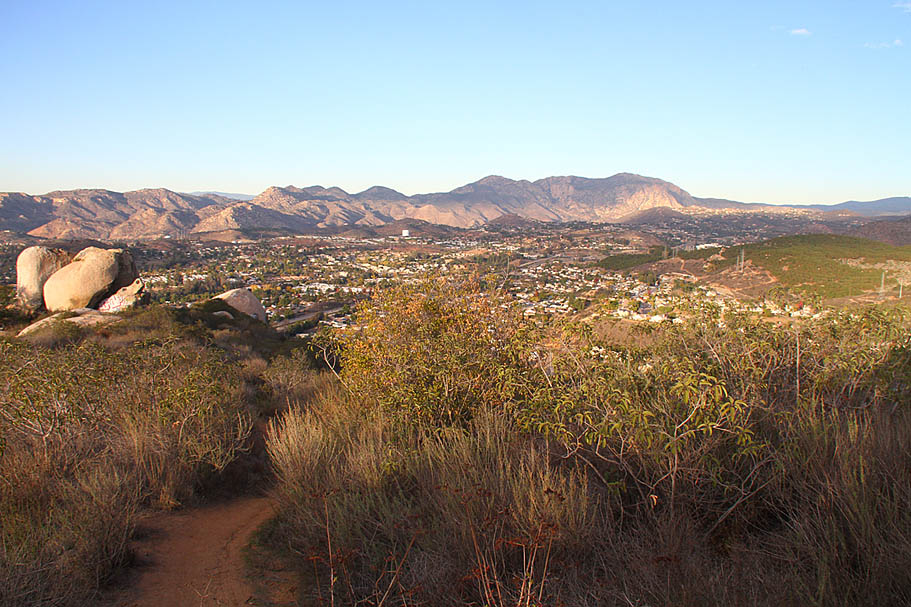
From CR-25 you can roll east down into the Crestridge Visitor Center area. The visitor center has some interesting architecture bits here and there. The trail(s) are marked in the immediate area of the visitor center so pickup the singletrack near the visitor center (CR-27). This single trail gradually works it way north east for 6/10ths of mile to the junction with another fireroad at CR-28. (Note prior to this there is a little connector trail that goes between CR-39 and CR-40). When you get to CR-28 you have options to the east but they require a commitment. This is about as far around on the "Basic Loop" as you should go if you are concerned about having enough juice in the tank to get back to the western end. I'm going to describe what I call the East Side Add-On before talking about the return route.
East-Side Add On


Return Route Options
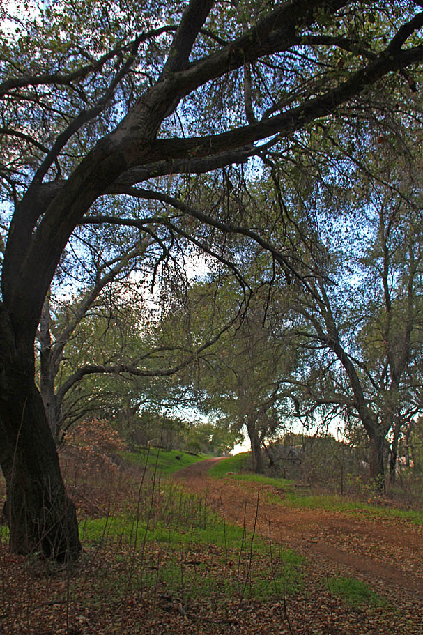
So wither you have done the east-side add on or not it would be time to start heading back west now from Point CR-28. There is nothing wrong with just returning down the singletrack you came up to go back to the visitor center, but if you have not done it before turn westward from CR-28 and stay on the old fireroad. The trail starts of slightly downhill then flattens out. At around 2/10th of a mile you pass a little connector track back over to the singletrack you came up earlier. Continue straight where the trail will soon turn more downhill and into a fireroad that will become more maintained as it descends into the visitor center area (CR-41).Once back at the visitor you will need to decide which route you would like to take back to where you split off from the Valleyview Truck Trail earlier in the ride (CR-007).
EASIEST: The easiest route is to simply stay on the Valleyview Truck Trail. It is just a touch over 3 miles with the least about of climbing involved with around 500 feet or so with the worst grade being around 13% for a short distance. If you are already gassed when it is time to head back this is the route for you. It is also the least directional challenging route to follow.
HARDER: As you leave the visitor center area I recommend take the fireroad between CR-26 and CR-25 up to CR-21. Make a left and go CR-42 to CR43/44 towards the water tower. Taking the singletrack from CR-45 downhill and westward is an option but you will have a few bike swallowing ruts to contend with on your way to CR-12 and CR-11. Otherwise Climb up the pavement to the water tower and enjoy the singletrack from CR-46 to CR-47 back to the Valleyview Truck Trail at CR-16. Descend the road but be on the lookout for the trail going off to the left at CR-15. It is easy to miss going downhill. Take the trail to CR-14, CR-11 and CR-10 to get back up to the top (south) end of the valley. Hang a right to CR-05 and grunt up to CR-04 and peel off to the right for the sweet singletrack that will take you back to CR-03. Once you come out on the fireroad at CR-03 hang a right make your way down to CR-007
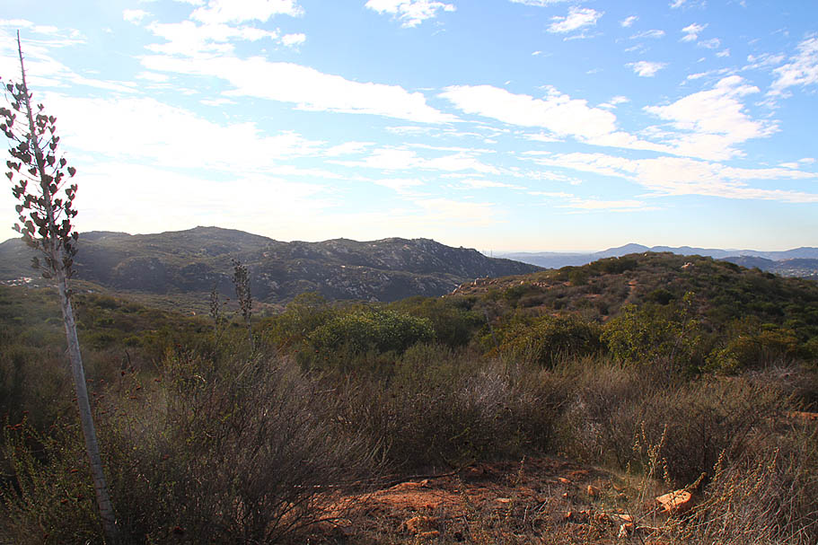
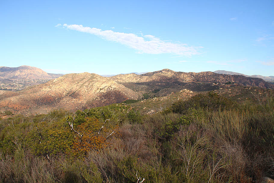
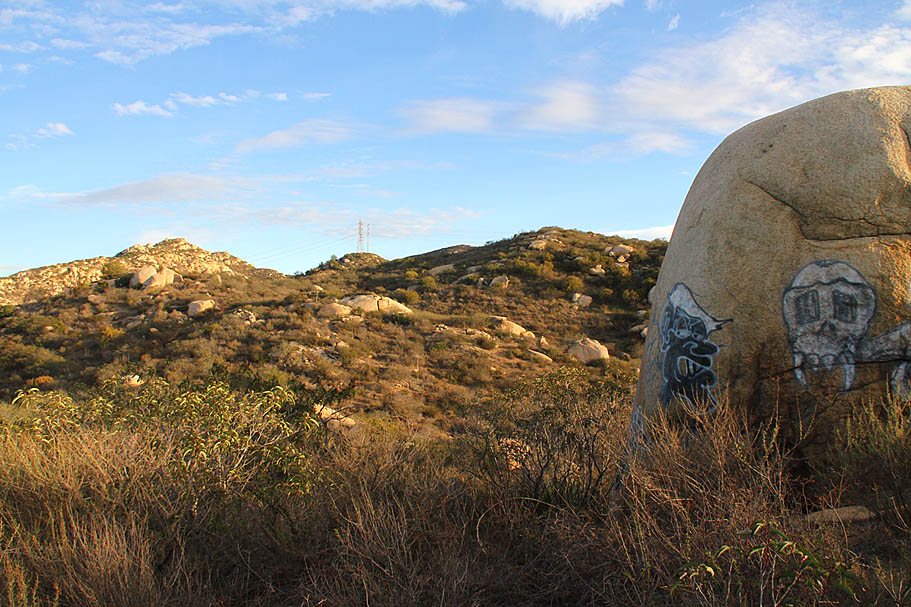
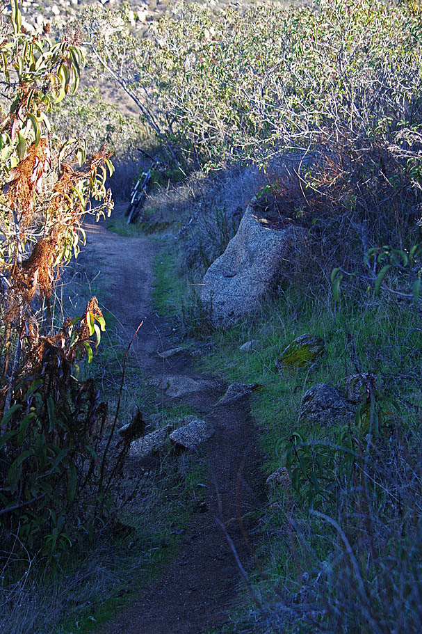
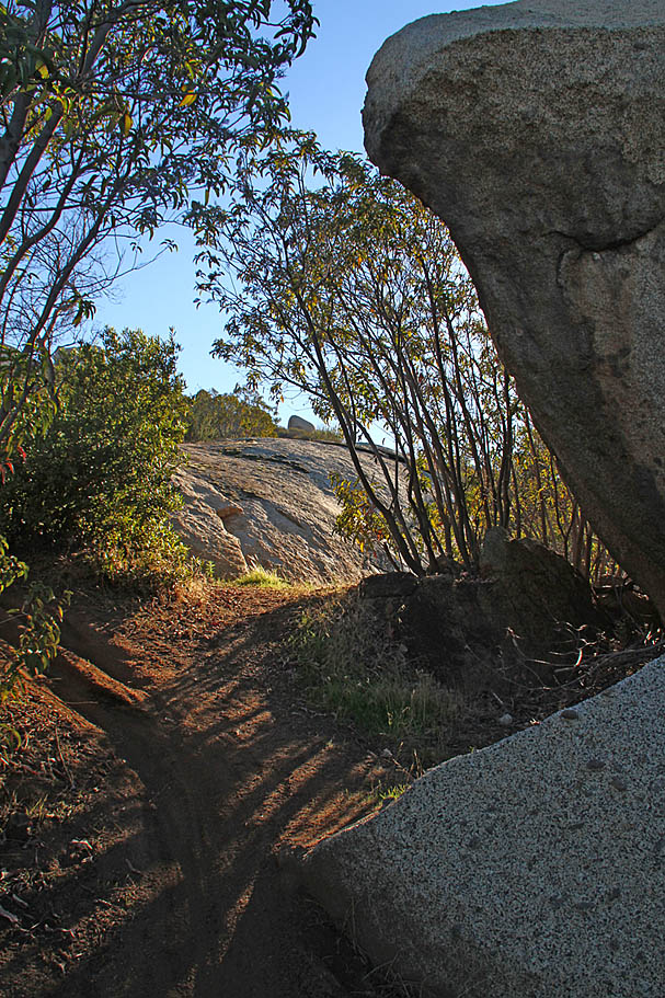
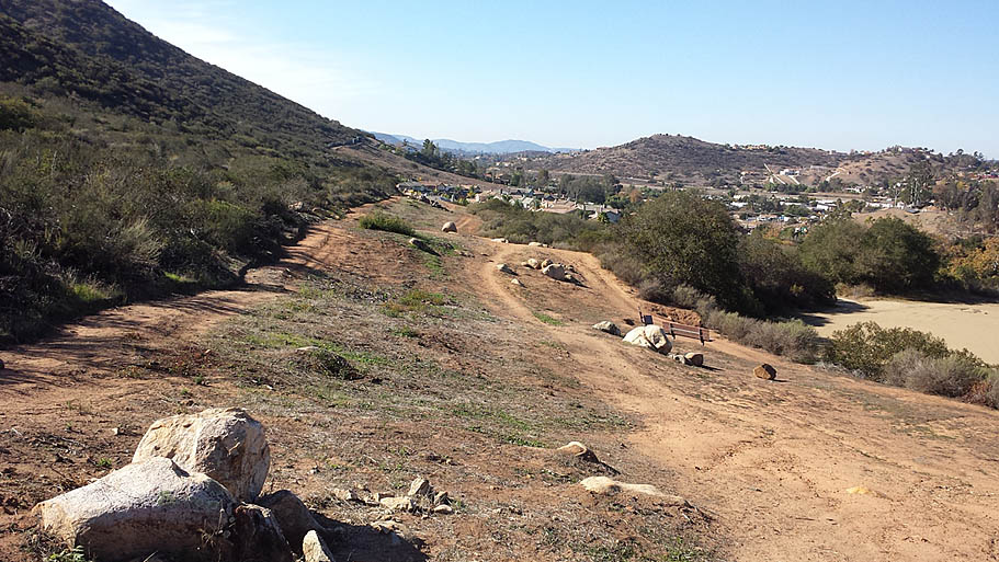
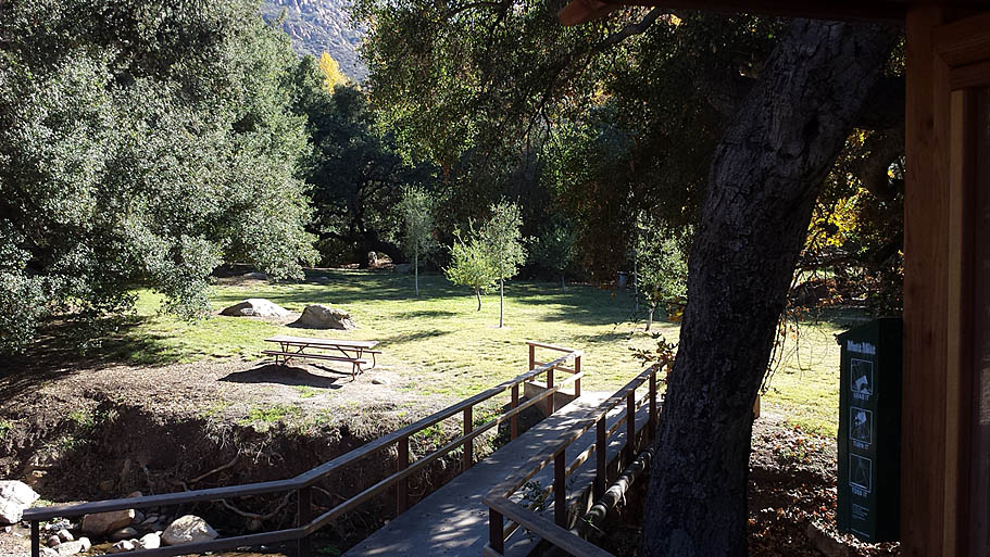
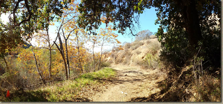
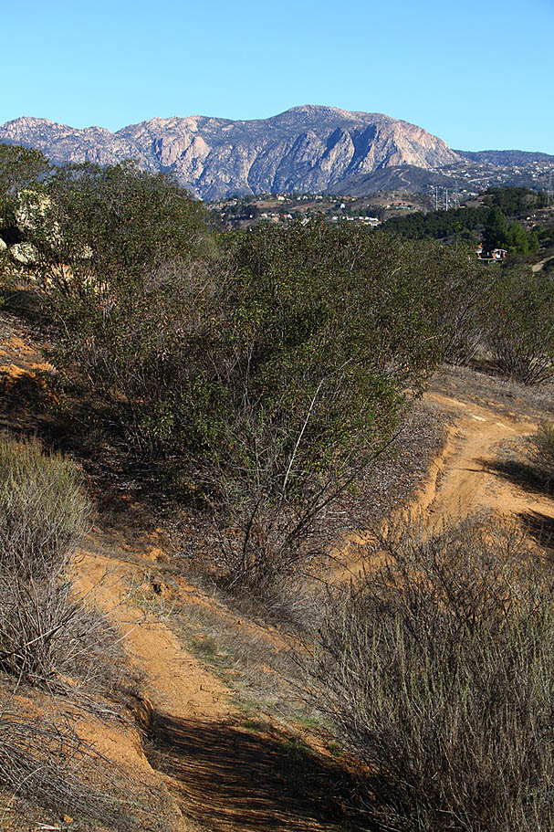
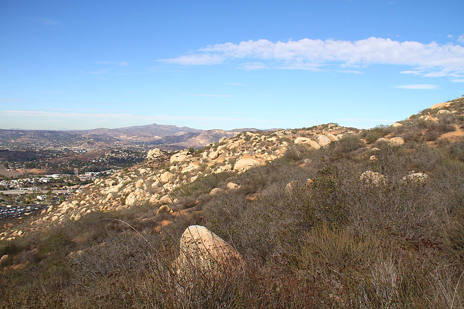
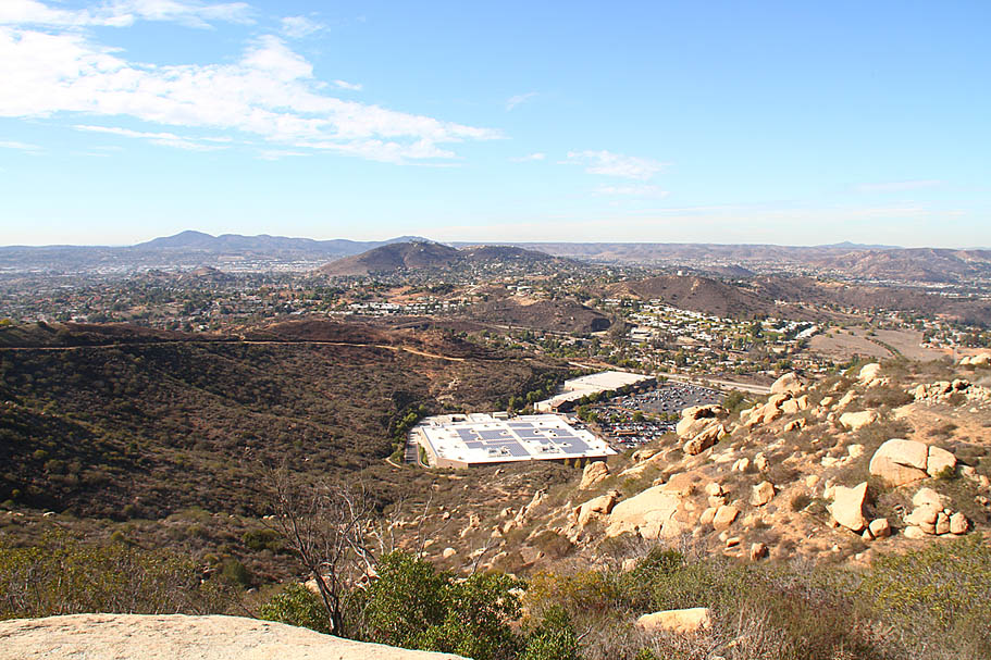
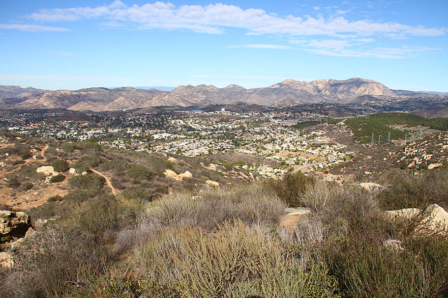
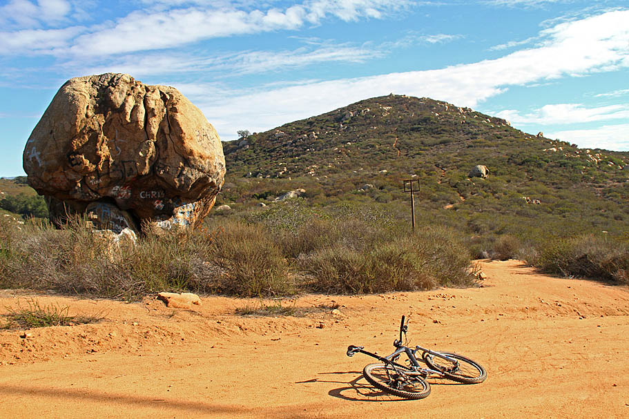
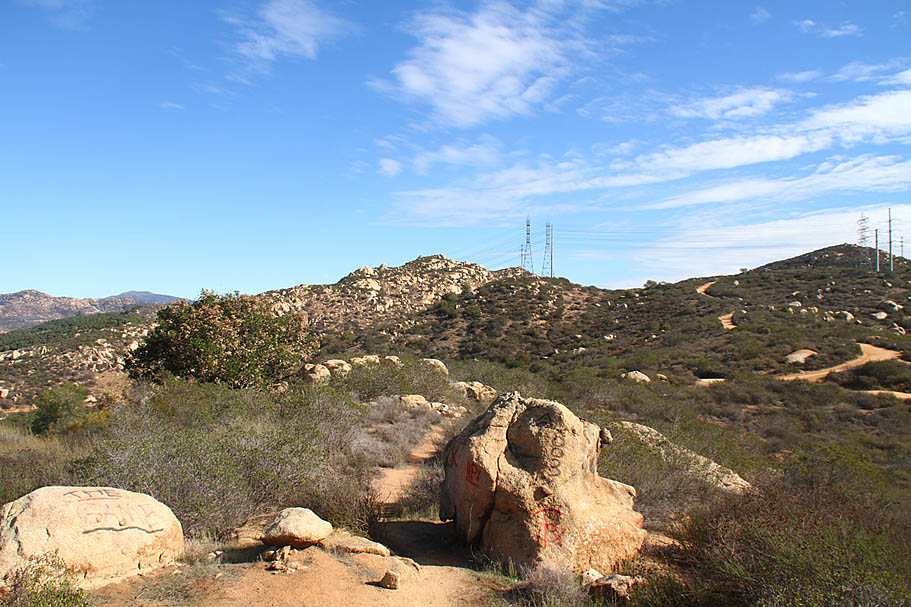
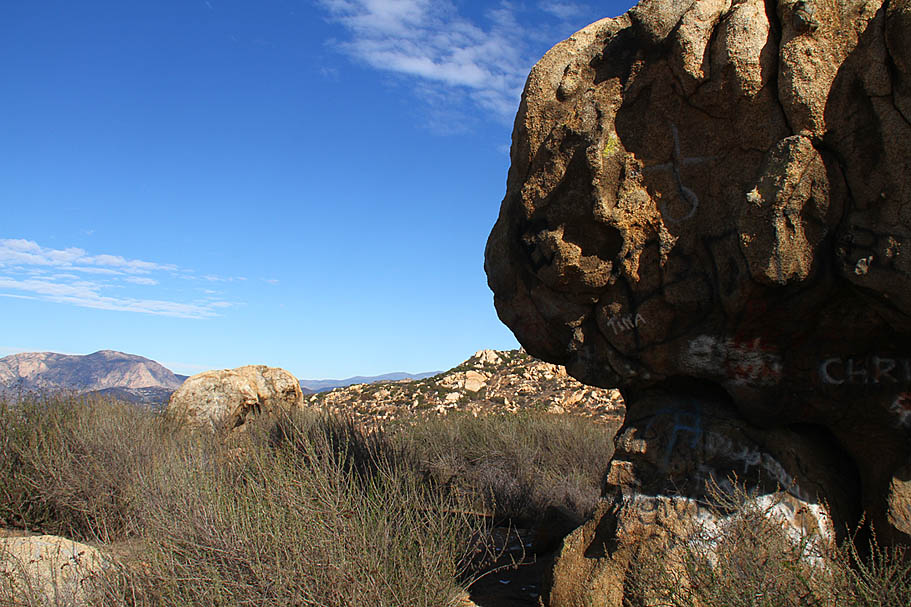
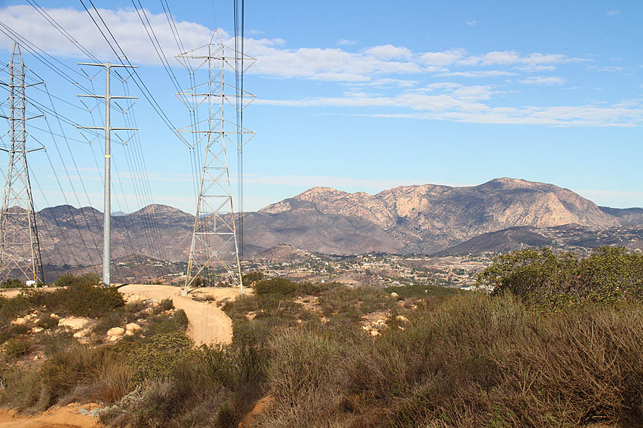
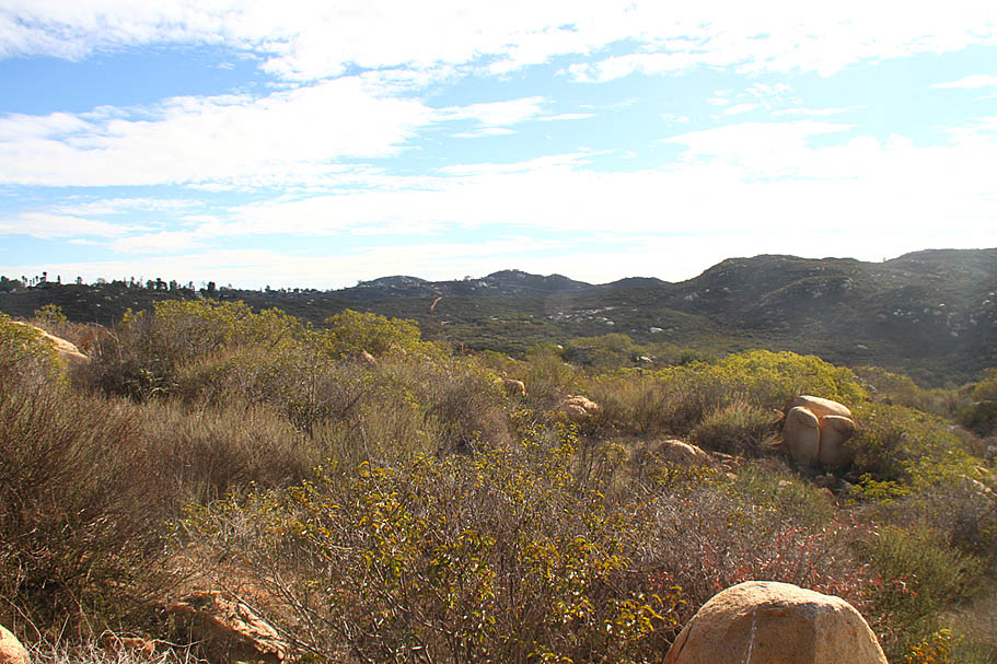
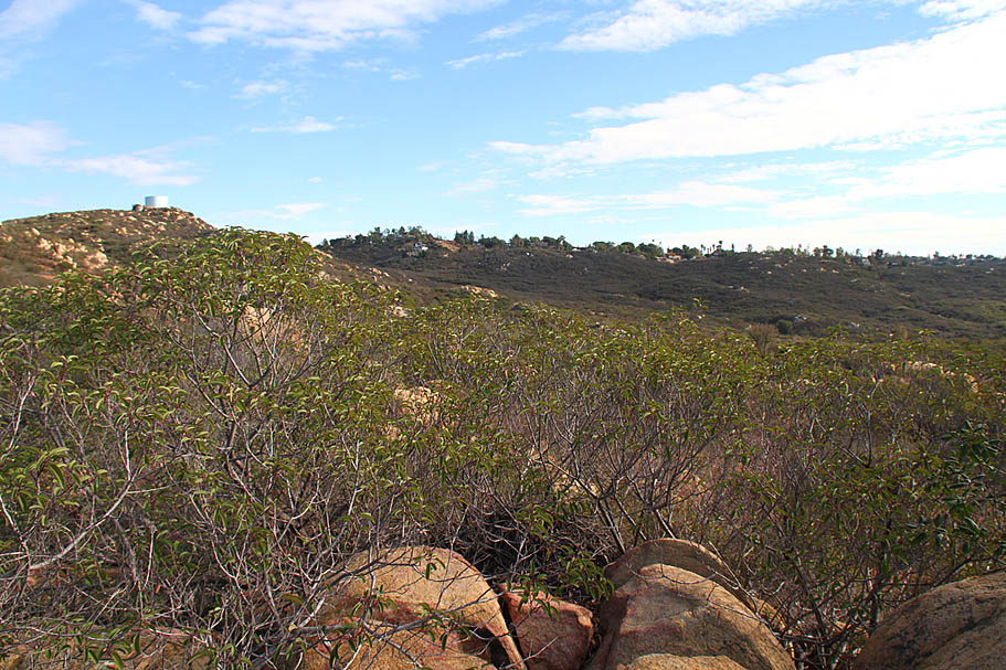
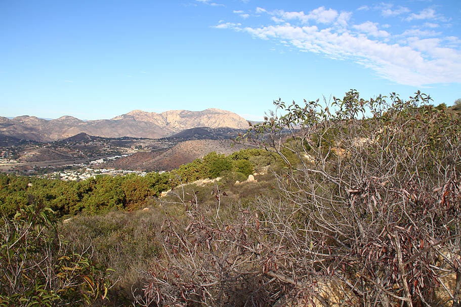
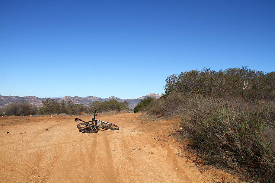
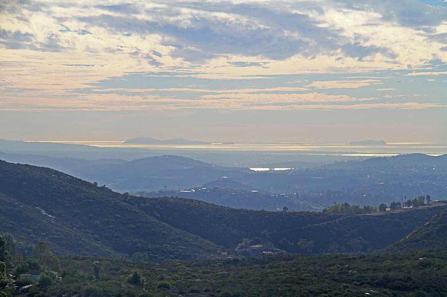
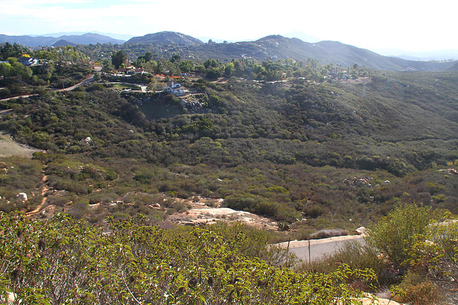
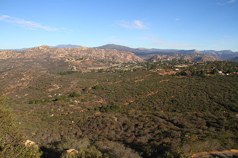
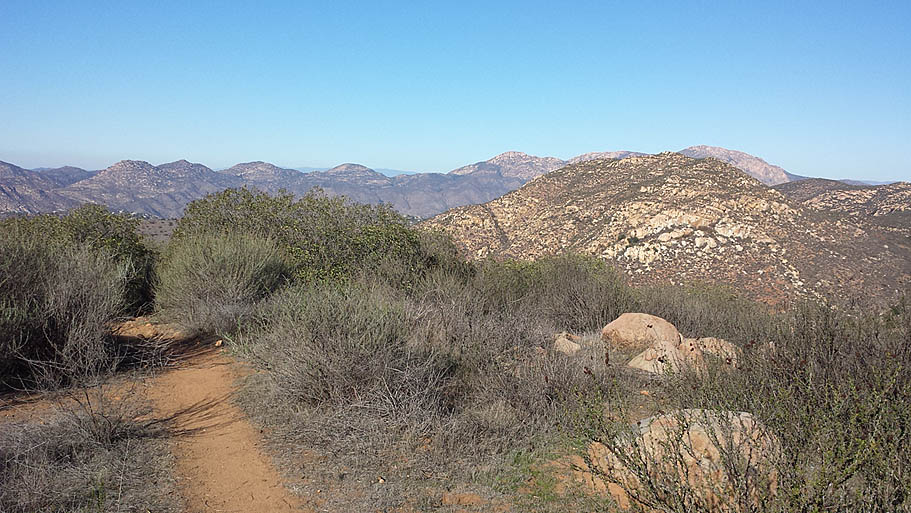
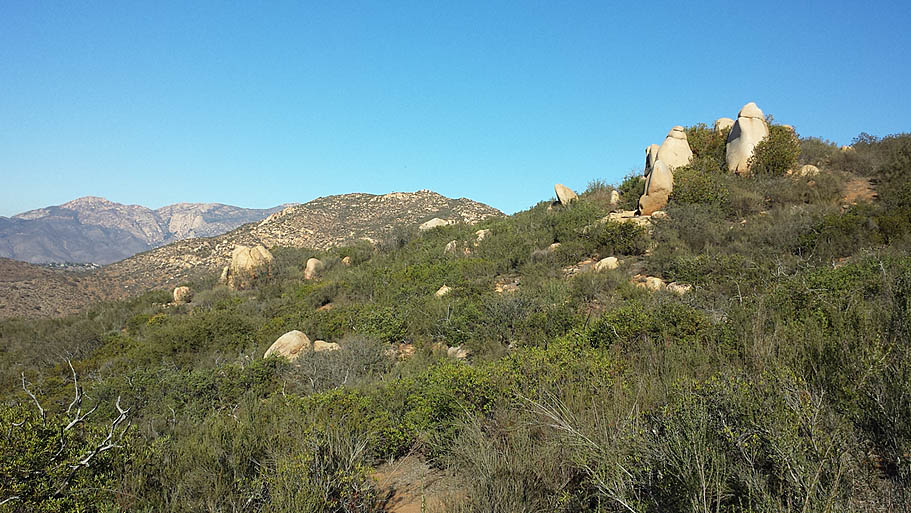
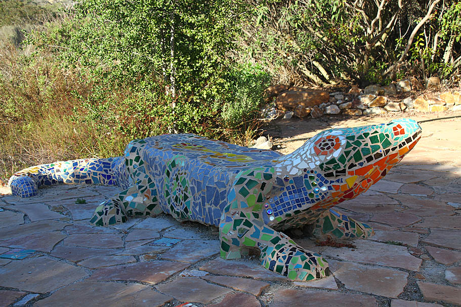
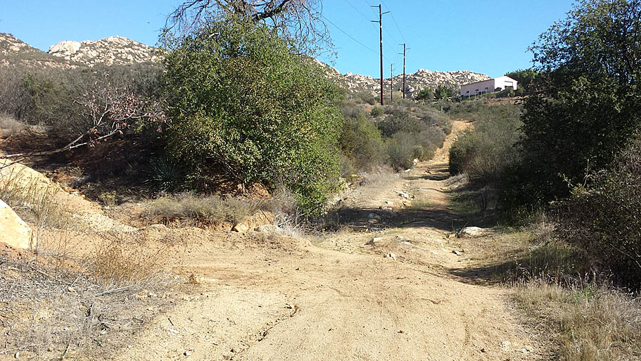
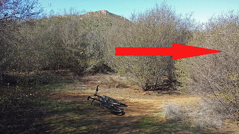
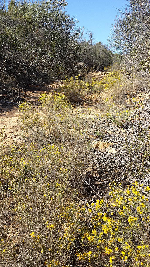
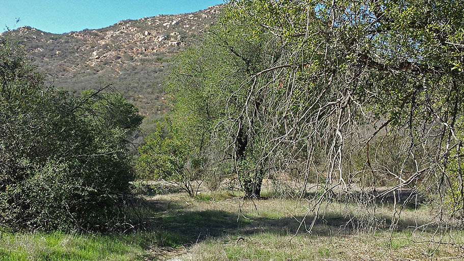
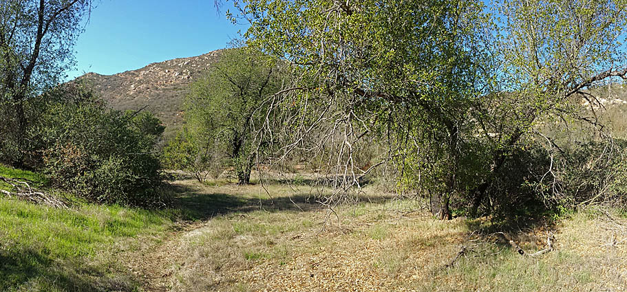
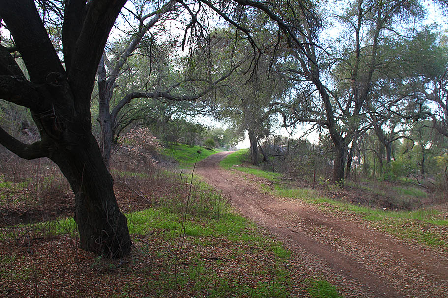
Other Pictures