
The Zion Curtain
Day Seven of the 2008 Utah - Colorado Roadtrip
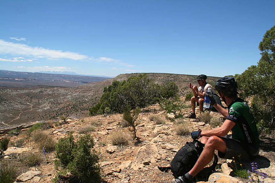
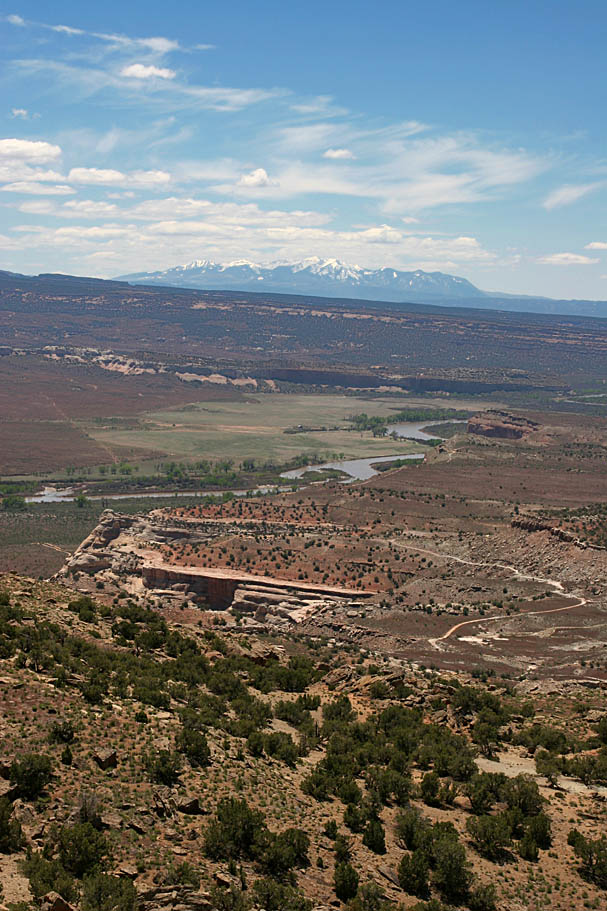
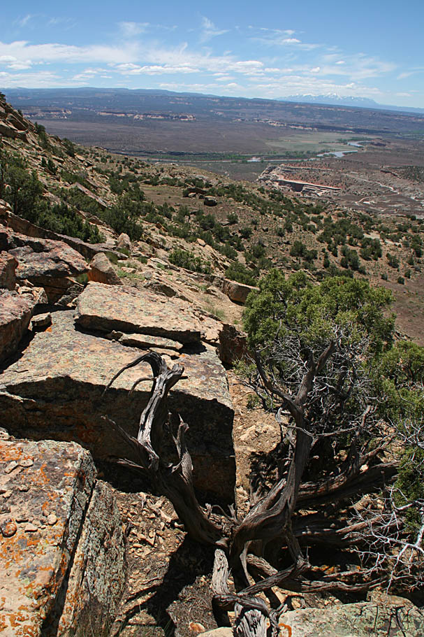
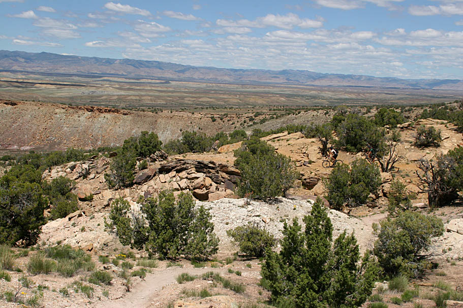
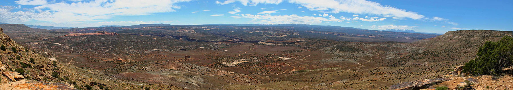 The view of Rabbit Valley from the Zion Curtain Loop
 On our way out to Moore Fun yesterday we swung by the Over the Edge shop in Fruita. While there one of the Fruita hooligans invited us an "exploration" ride that would include part of The Mirror as well as other unmapped goodies up in the Douglas Pass area. It sounded huge with all the ingredients needed to make an epic or a death march with a good chance of both. Added in with the "sales pitch" for this ride was a retelling of an encounter with a fresh, as in not yet coagulated blood everywhere fresh, elk kill with the mountain lion who took down the elk still on the scene. Luckily said hooligan was scouting this ride with a dirt bike and revving the engine a few times scared the lion off. He lost me for this ride at "Blood Everywhere".
Hmmmm, it sounded awful tempting, but we needed to be in St George that night and doing the Zion Curtain trail that saddles both Utah and Colorado would have us that much closer at the end of the day. I'll have to catch the Mountain Lion loop on the next trip. :-)


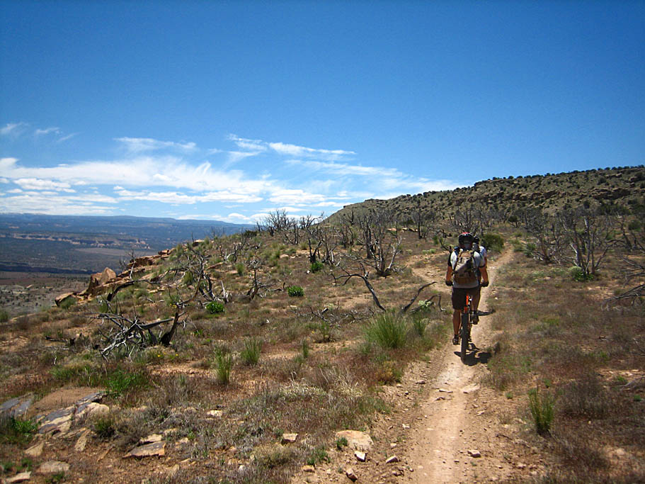
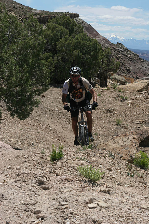
The Zion Curtain is a really cool cross-country ride that has some nice singletrack as well as some healthy but gradual climbing up to a ridge with great viewpoints overlooking Rabbit Valley and beyond. There are some rocky and steep bits here and there but nothing someone with moderate technical skills can't handle. I have it from a reliable source (the guy who named it) that the trail gets its name not so much from the actual ranch style Colorado-Utah border fence that is colloquially referred to as the Zion Curtain, but instead it refers to the general state of mind concerning some of the attitudes of the Church of Jesus Christ of Latter-Day Saints which are prevalent in Utah. The term is used all over the place and is a play on the term "Iron Curtain" coined by Winston Churchill to describe the formerly communist Eastern European nations. Politics and religion aside, it is a great trail and we ended up doing the traditional loop for a total of about 20 miles, but you can park closer than where we did and cutoff a few miles of dirt road.
Resources: You will not find this trail marked on the Latitude 40 Map for the Fruita and Grand Junction area, but the doubletracks used as part of this route are shown. The Fruita Fat Tire Guidebook does include this ride and between the map and the guidebook you should be good to go. I was blissfully in "follow the local" mode so I really can offer only a few navigational tips for this ride. I did record the track of this ride on my GPS so take your pick of formats: GPX, GDB, KML.
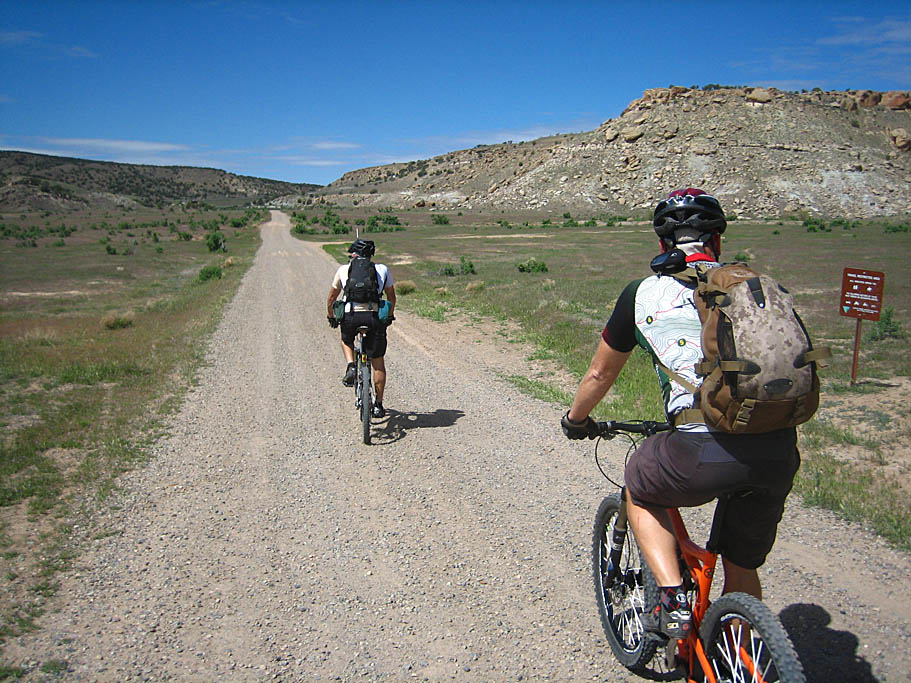
We started this ride with the idea that we may do a bigger loop that would have us coming back through Rabbit Valley. Therefore we started from the parking area on the north side of the I-70 at the Rabbit Valley exit (#2). (Follow signs for the Trail through Time) From the parking area we took a dirt road east (I believe it is called Crows Ridge Road) and climbed up onto a ridge. Just as you top out on the ridge a singletrack that will cut out a good bit of this doubletrack affair goes off to your left. While it looks tempting, it is currently closed. Make sure to check with the folks in town before doing this ride for the latest status on the effort to open up this trail. The road at this point turns northward for a bit. Take your first left and roll downhill to the west. The doubletrack will take you down to the border-fence where you will go through a step-over gate. You can drive all the way up to this point if you are not planning and looping back through Rabbit Valley. From here there are several options so just remember you are heading for the I-70 undercrossing at the bottom of the slope you are currently on. When you get to the bottom you will drop into a sandy wash and go under the freeway.
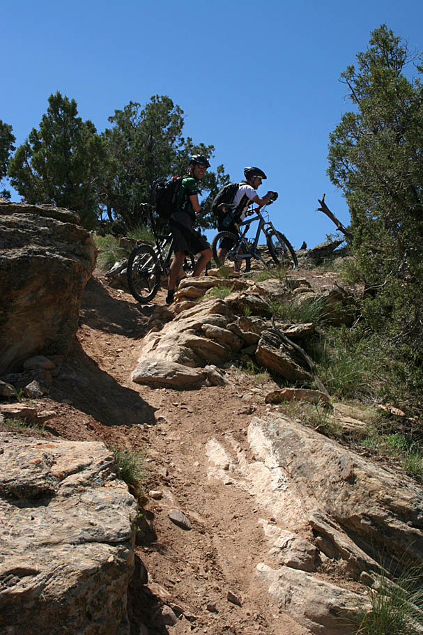

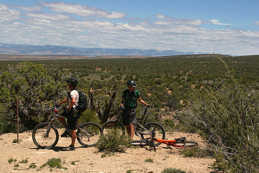
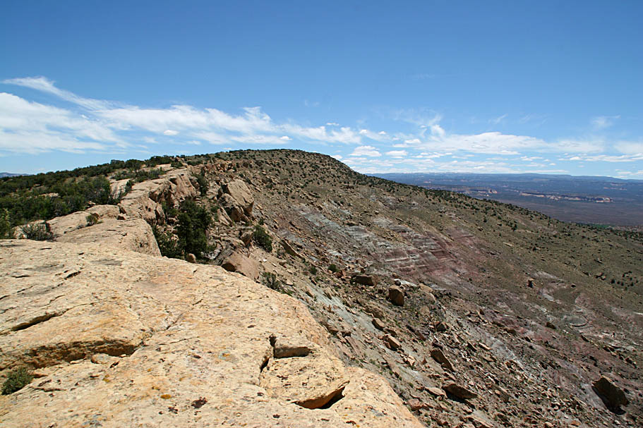
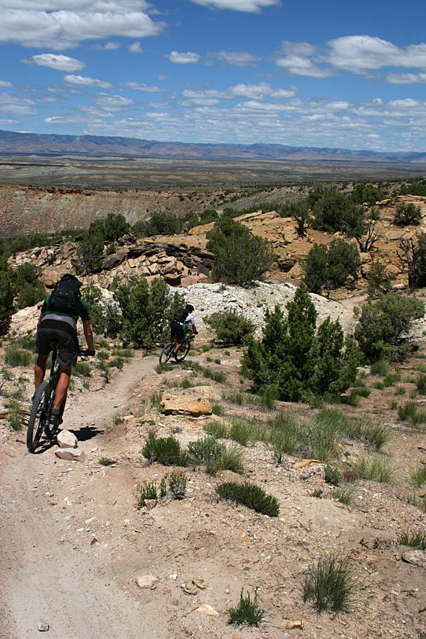
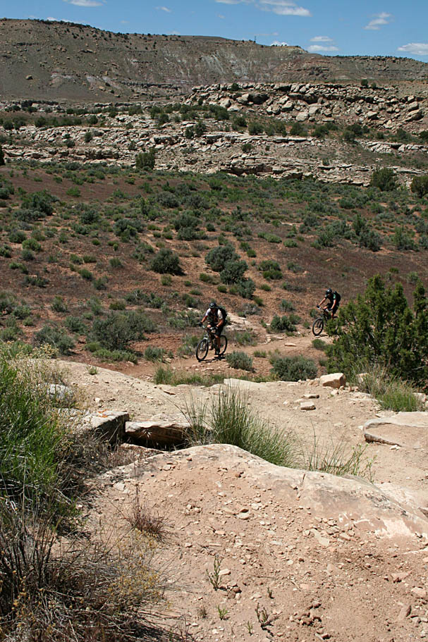
Once you go under the freeway, you will stay in the wash for about 50 yards or so before picking up a singletrack going off to the left and out of the wash. The trail will take you through some interesting canyon/wash terrain before you have to negotiate a steep hill. Not long after the steep hill the trail will turn south and follow the "Zion Curtain" for a while. You will keep gradually climbing for about three more miles until you come out onto a ridge with several great viewpoints of Rabbit Valley. It was cool to see some of the stuff I had ridden during my 2005 trip here from a different perspective. From here the trail follows the edge of ridge and climbs for a while further.
When we stopped at one of the other viewpoints, I took notice of a slightly different view of the La Sal Mountains near Moab. You could definitely see that there was a bit more snow on the mountains than what was there on our first day in Moab. The big rain storm that came through the Moab area on our third day of the trip was snow up at the higher elevations.
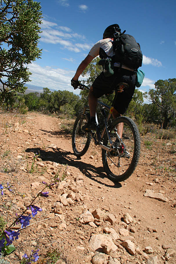
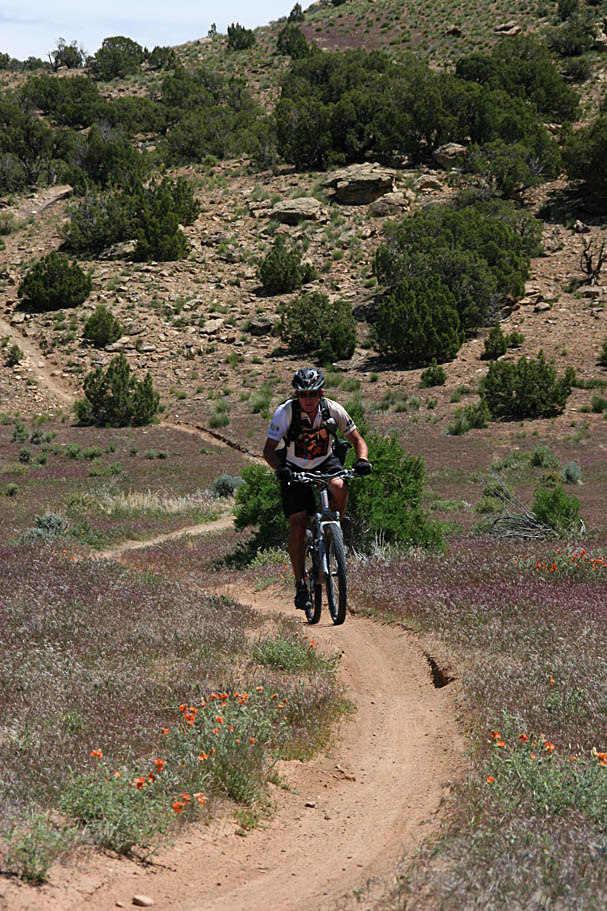
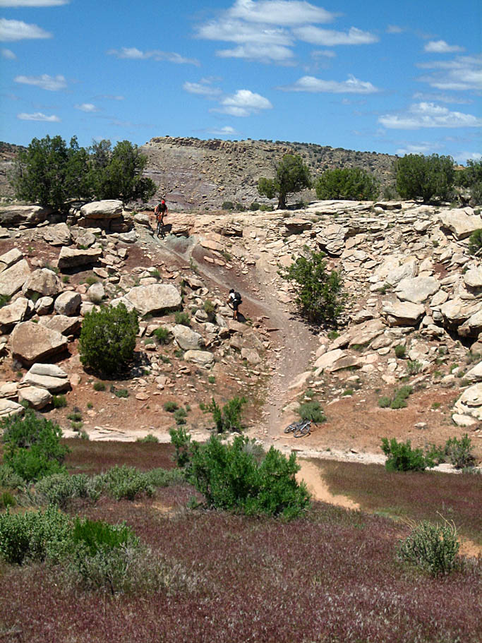
We followed the trail as it went along the rim which included another bout of climbing before the trail took a vigorous turn downhill. About halfway down off the ridge the trail mellowed out. Somewhere in this area I had my first mechanical of the entire trip, a pinch flat. Right off to the side of the trail where I stopped was large enough tree to provide some pretty descent shade. Changing the tire was a rather nice affair as it was hot out today. Once back on the bike, the bottom part of the singletrack was smooth and ripping fast.


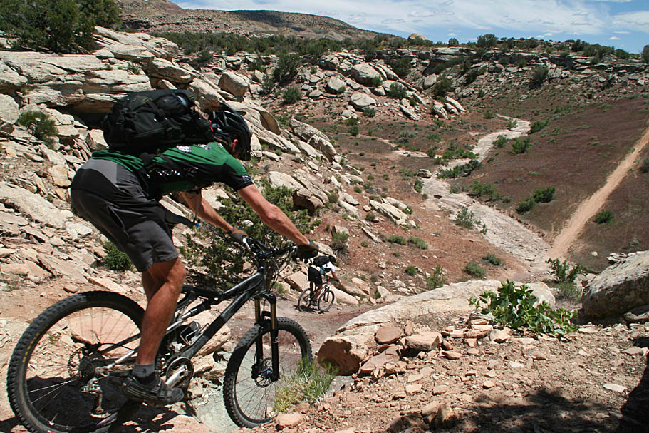
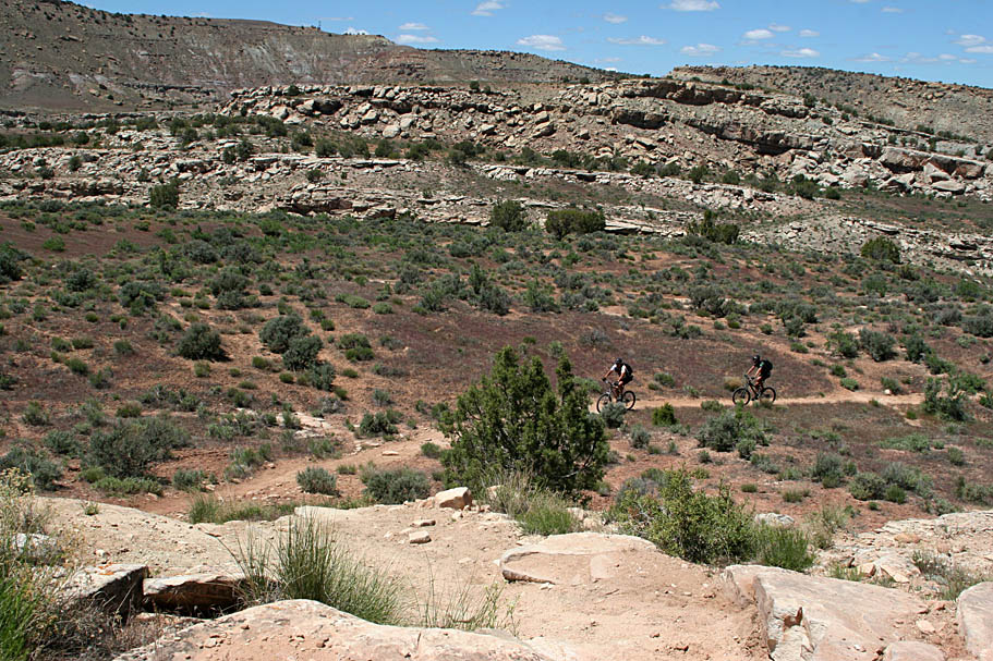
Once down in the valley we had a few undulations to deal with before the trail brought us out onto the Kokopellis trail (doubletrack) were we some options. Straight ahead (west) the Kokopellis trail climbs up to the Bitter Creek Campground at the top of the ridge/mesa to the west-southwest. To the left (south) the Kokopellis trail heads slightly downhill before turning east towards the Rabbit Valley area. To the right (north) a doubletrack heads towards I-70. We had big plans to climb up to the Bitter Creek campground and hit the Westwater overlook trail, possibly the Arch Loop and the Western Rim connector and work our way back trough Rabbit Valley.

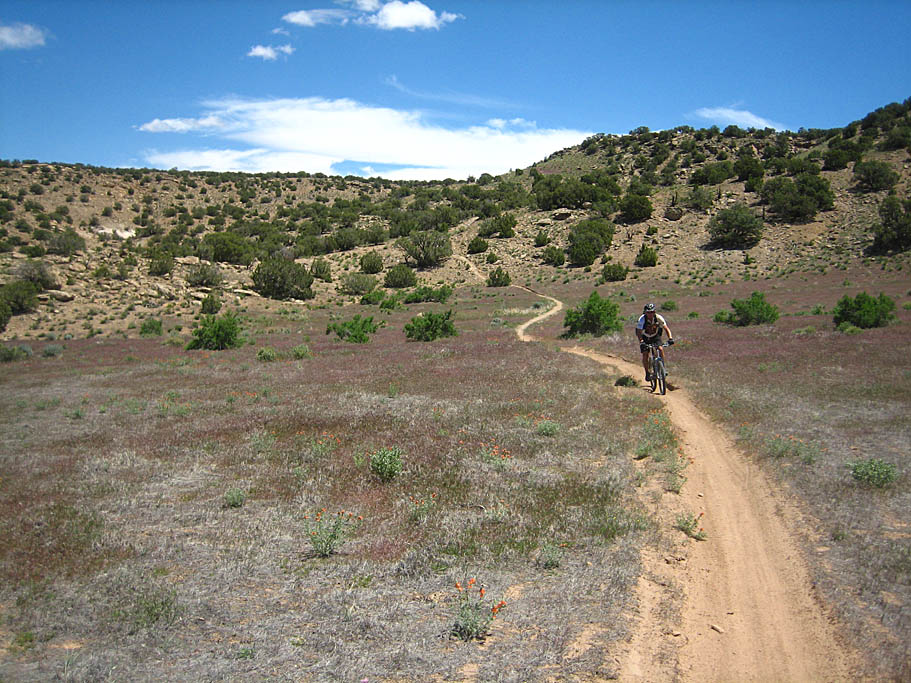
However, it was unseasonable hot today and we had not packed extra water. Following our original plan would leave us with about a third of a bladder each to cover at least 24 miles that would include some huffing and puffing. We scaled the ride back to the traditional route and looped back to the I-70 under crossing using the doubletrack that heads off to the north that gradually climbs up the Bitter Creek watershed.
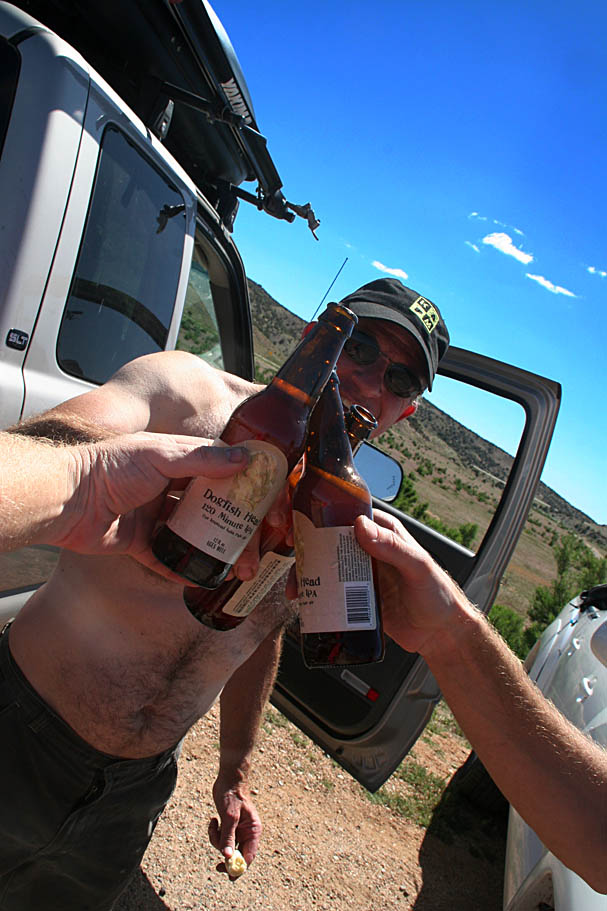
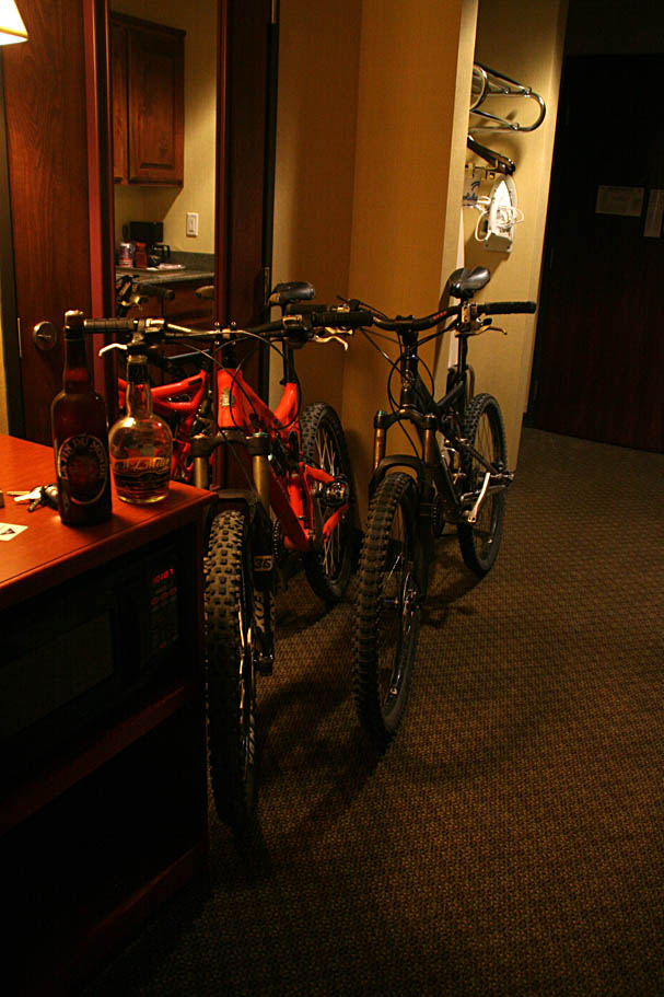
As usual, we wanted not for hydration back at the truck. After chatting up for a bit we bid farewell to Kevin and hopped on I-70 heading west. On Kevin's recommendation, we made a pit stop in Greenriver for a mighty tasty burger at a Ray's Tavern before getting on the road for a good chunk of driving to St George. We made good time and gawked at all the of the mountain biking opportunities that we could see from the interstate corridor. We were already working on another trip. We stayed in a hotel that night just north of St George. We had ridden everyday of the trip so far and our legs felt like it. We did however have plans to clean sweep the trip with one last ride in the morning before making our way back to Southern California.