Black Mountain in Pamo Valley near Ramona
| Located north of Ramona on the north-eastern part of the county, Black Mountain is just east of Pamo Valley and west of Mesa Grande. This ride offers some nice fire road riding with a strenuous but manageable climb up to a 4,051' peak with wonderful 360 degree views. There are several of out and back and loop variations that can be done out here that range from 16 to 31 miles. The area was extensively burned in 2007 but has been recovering nicely. A portion of this loop is also part of the Coast To Crest Trail. |
 |
Directions:
| From LA via I5: In Oceanside on the I5 south take the 78 east exit. Follow the 78 into Escondido. Follow the signs to 78 west as you follow a few city streets. Once through Escondido, continue on the 78 east into Ramona. At the stoplight (Junction of 67 and 78) turn left to stay on 78 east. You will go through the town. At the end of town the road rises over a small hill. At the bottom of the hill is Magnolia Rd. Turn left on Magnolia. Follow Magnolia for about two miles until you reach Pile road. Park on the side of the road on Pile or Magnolia. | |
| From San Diego via I15: Take the Mercy Rd/Scripps Poway Parkway exit. Turn right onto Scripps Poway Parkway. After 8.6 miles turn left onto CA-67. Take CA-67 into Ramona to the junction of CA-78. Turn left through the town. At the end of town the road rises over a small hill. At the bottom of the hill is Magnolia Rd. Turn left on Magnolia. Follow Magnolia for about two miles until you reach Pile road. Park on the side of the road on Pile or Magnolia. |
GPS Files: GDB, GPX, KML, TPO |
| Hazards: The truck trails do have some ruts in places. This area can get really hot in the summer. |
| Ride Notes: The first time I did this ride was on the 2002 Superbowl Sunday. I did not like either team in the bowl this year so I decided to get up early and try out this ride. I had read about it on the mybikesite website and it sounded intriguing. The review I read was for a 16+ mile loop with an option for a long climb up to the peak of Black Mountain located in the Cleveland National Forest north of the town of Ramona. I ended up taking the "Super Size" option and turned this ride into a 30 miler with 4,821 feet of climbing. I set off on my ride heading north on Black Canyon road which is still paved at this point. After about 1.5 to 2 miles the pavement ended and became a graded dirt road. I did some mild but steady climbing until I reached mile number 4 where I reached a saddle. There are a couple of trees at this saddle that can be seen from a mile or so away. Think of them as checkered flags if you need some mental help on the climb. |
|
|
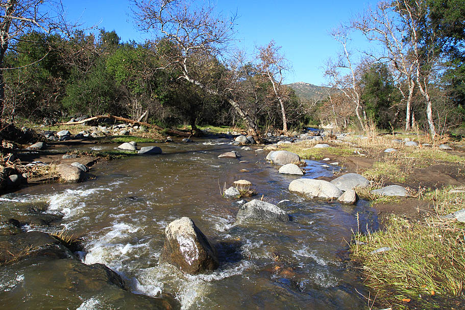
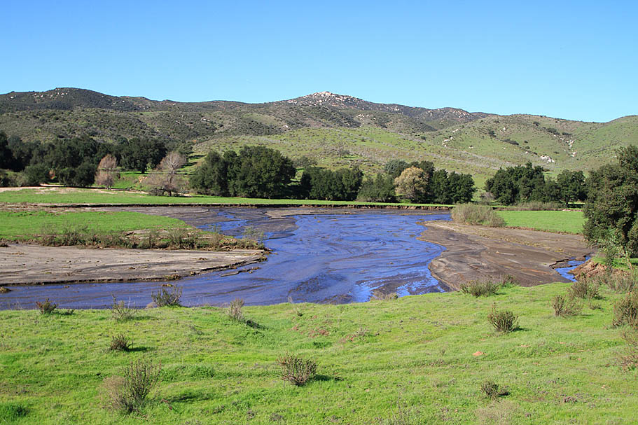
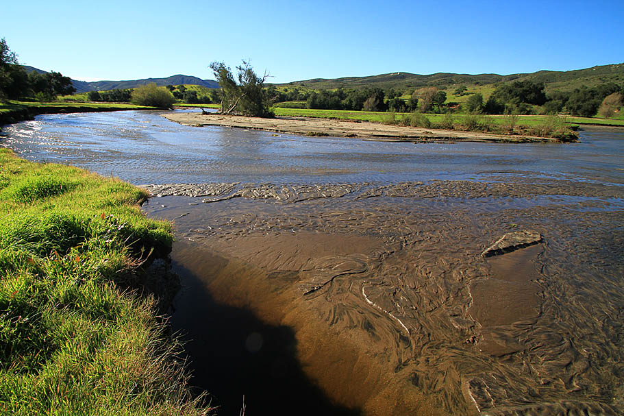
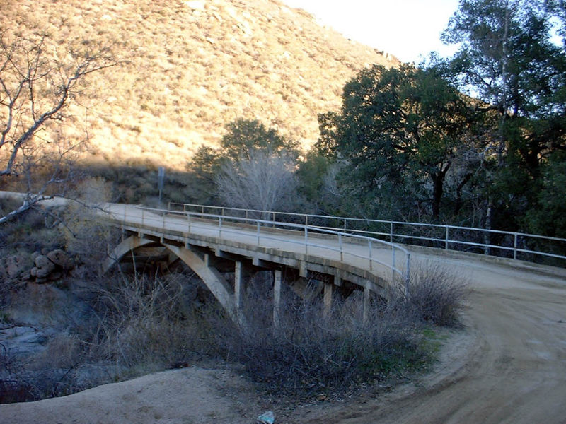
| After the saddle, Black Canyon road started an angling descent to the Santa Ysabel Creek bed. There were only a few minor ruts in this section of the road which made for some good speed the descent. After two miles of downhill rolling I reached the Santa Ysabel Creek bridge at mile 6. This bridge is designated as a National Historic Bridge as it is one of the oldest bridges in San Diego County being built in 1913. |
    |
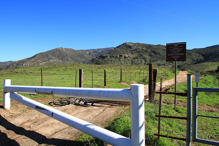
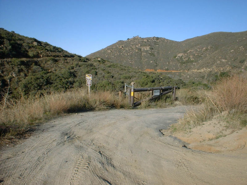
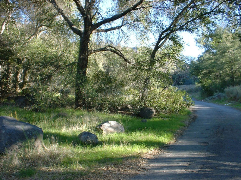
| After crossing the bridge the road bears to the left. About 75 yards up the road there is a paved road that goes off to the left through a gate. I dropped down on this road and it quickly rolls into an old campground. After rolling through the tree shaded campground the road turns left and crosses a small stream at mile 6.4. |
| 2010 NOTE: A new bridge has been built here. The historic bridge was left intact with the new bridge direcly beside of it. |
   |
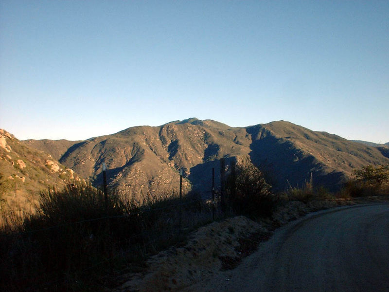
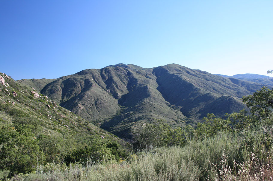
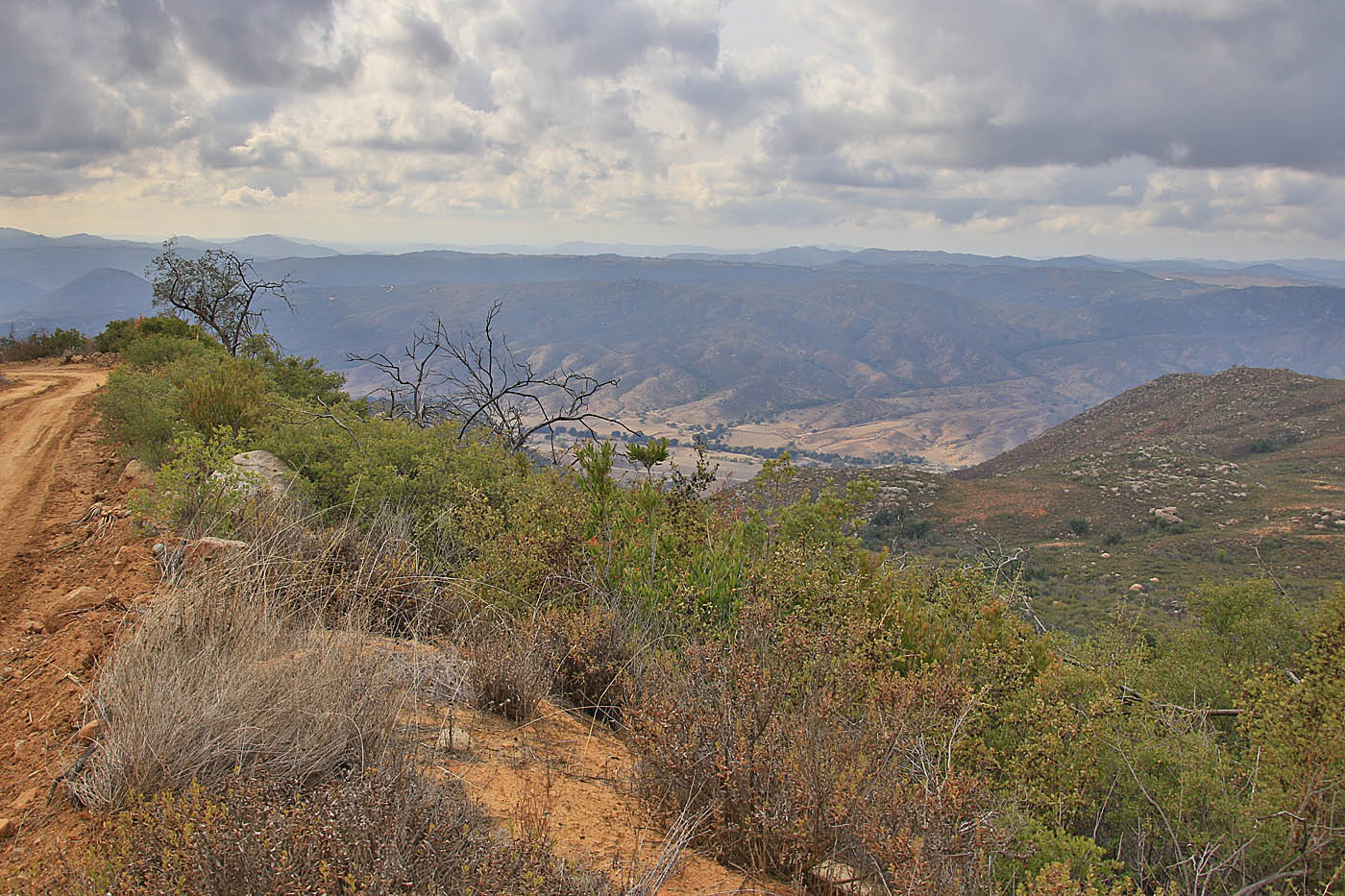
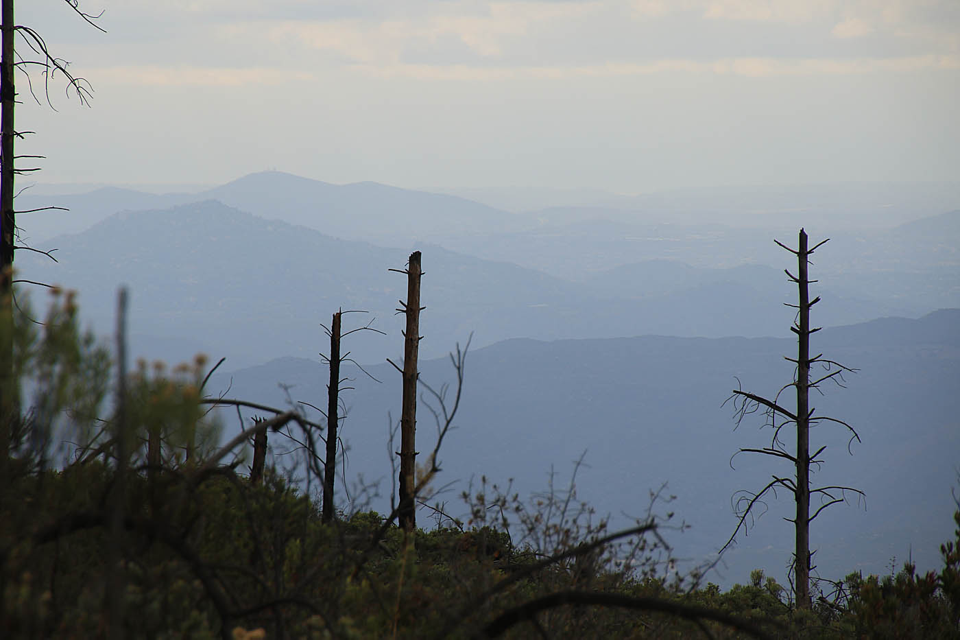
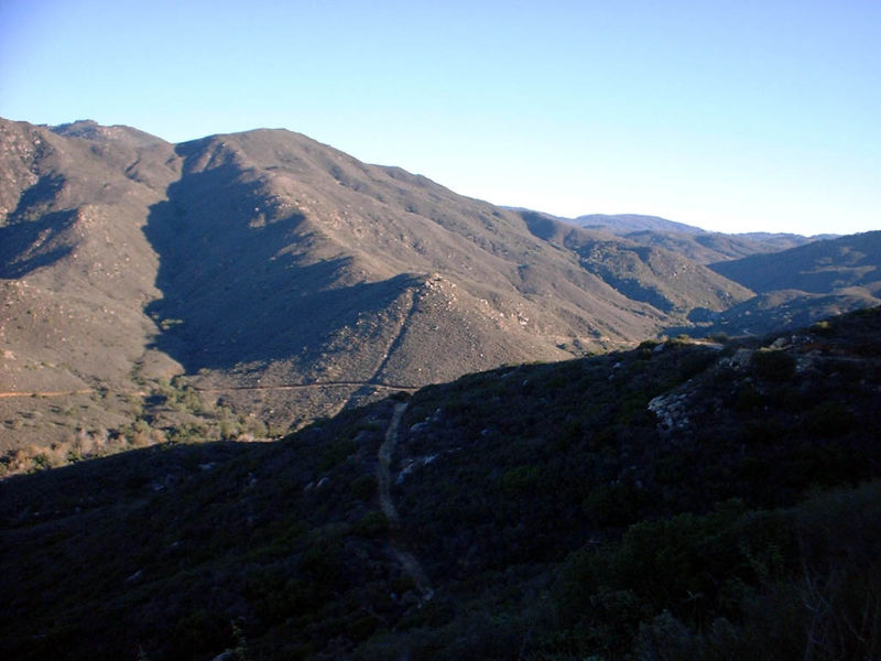
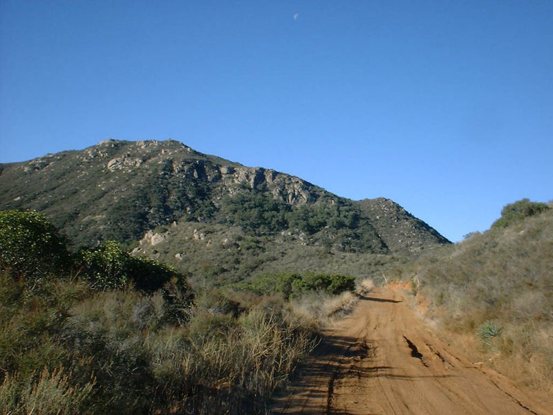
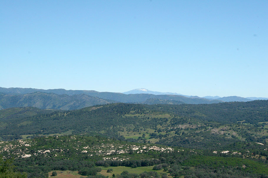
| At this point I am on the Santa Ysabel Truck Trail. For the next two miles I was climbing but there was enough interspersed downhill sections to keep things interesting and the views were really nice. This section mostly runs west. The trees in the saddle of Black Canyon road you past earlier can be seen in the center picture below |
   |
 |
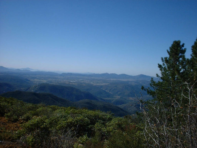
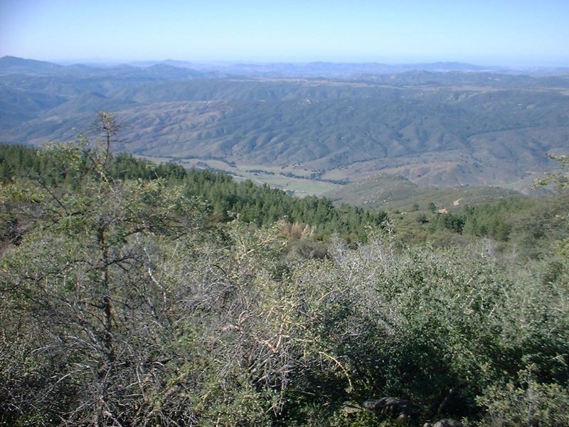
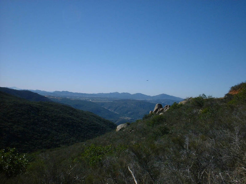
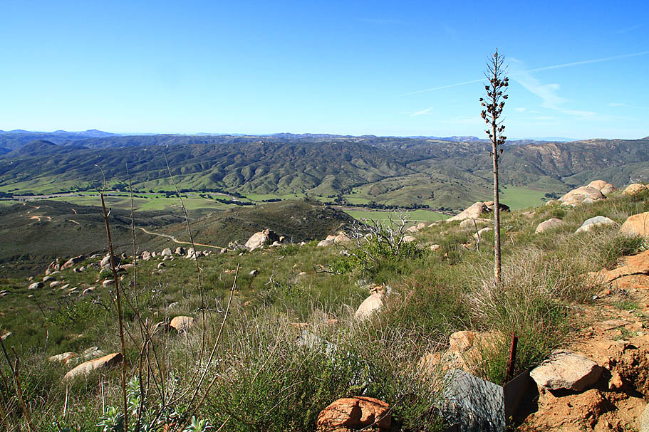
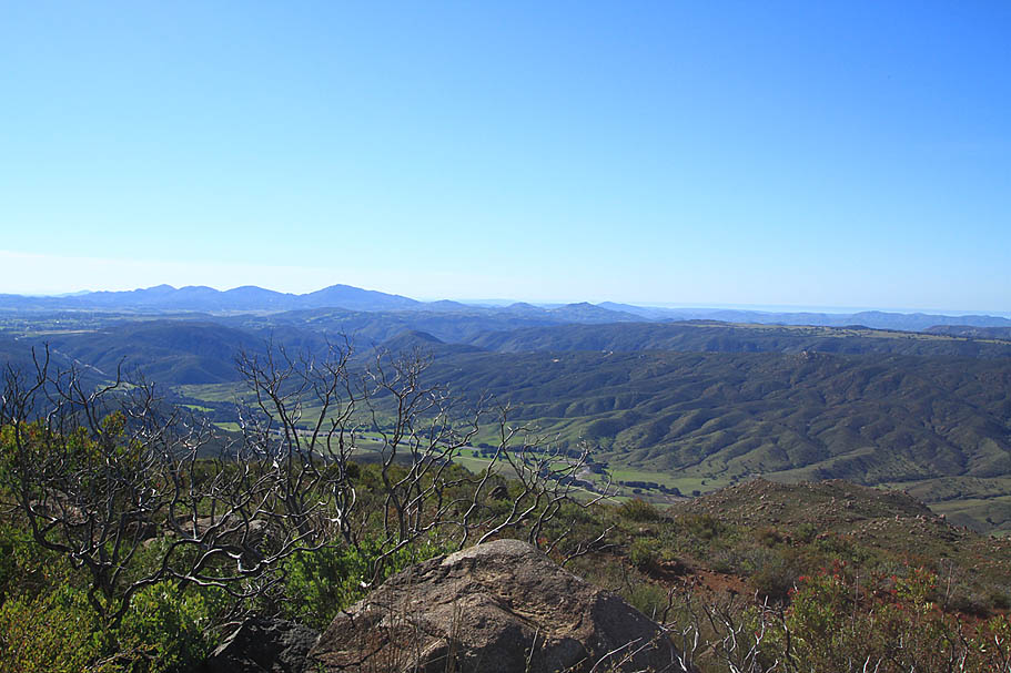
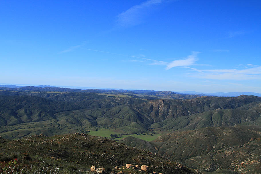
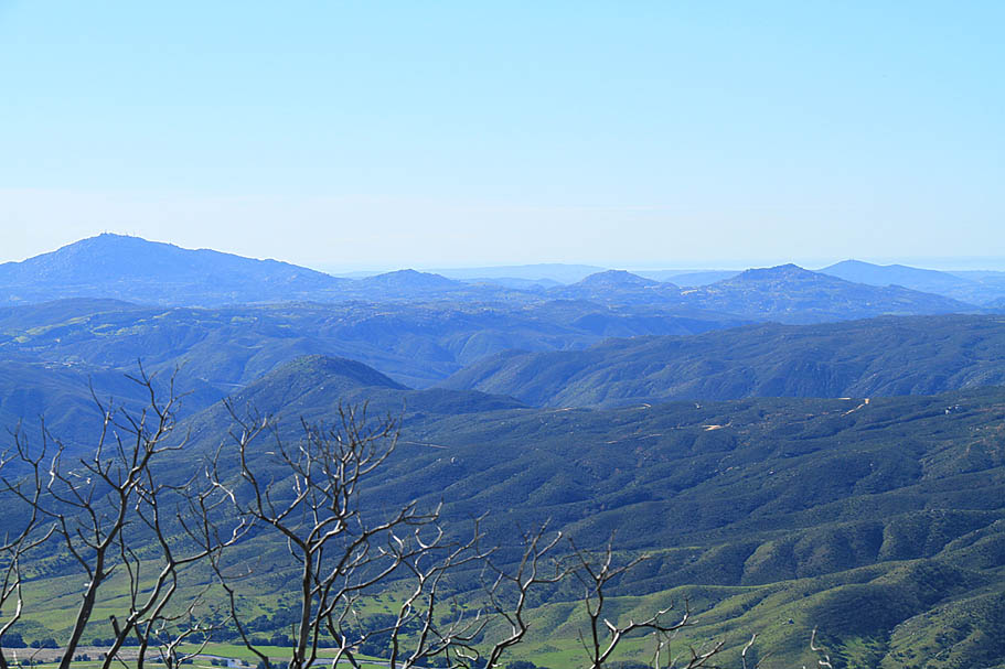
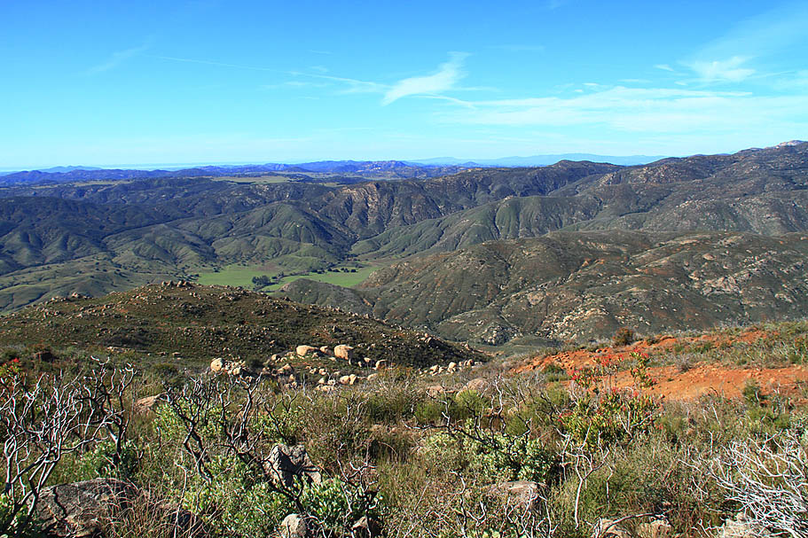
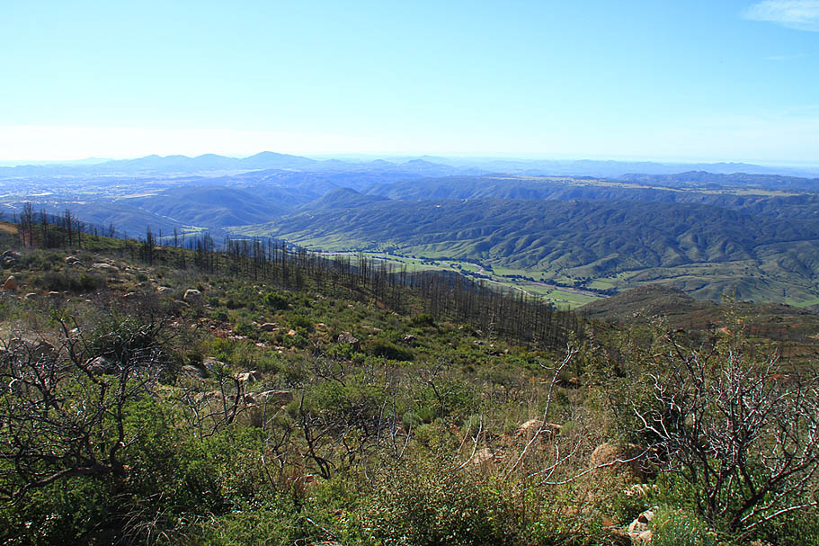
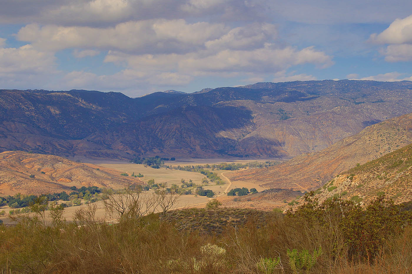
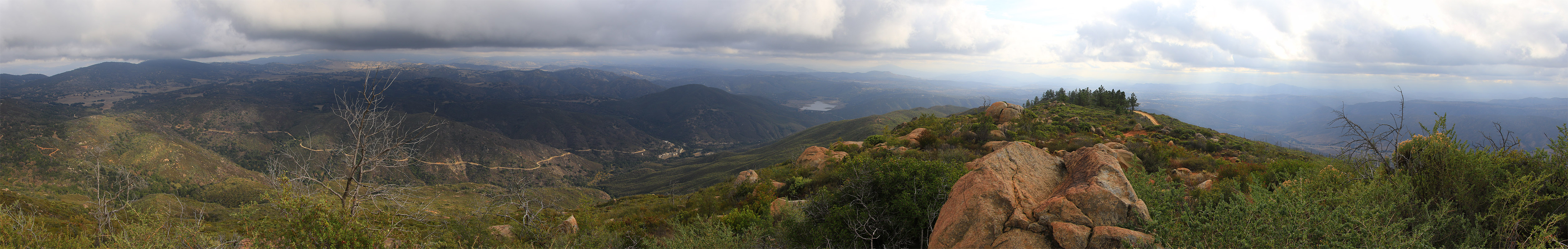
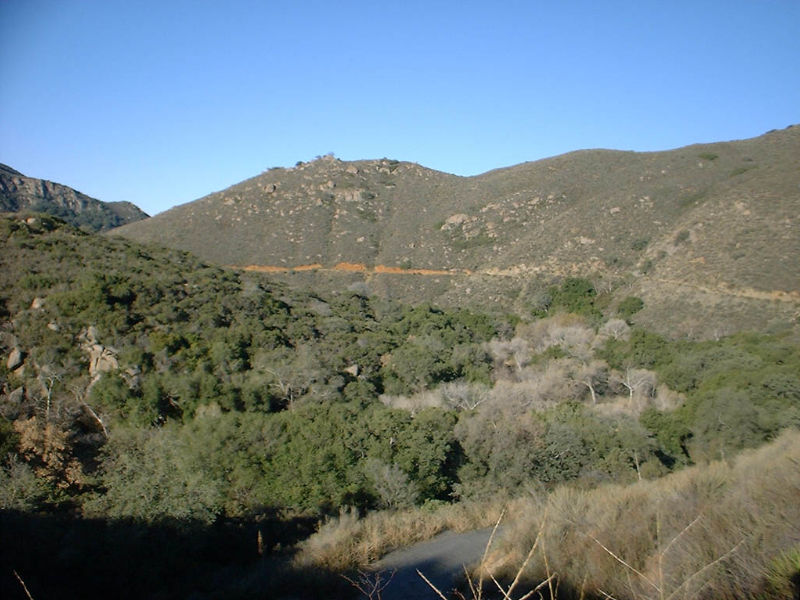
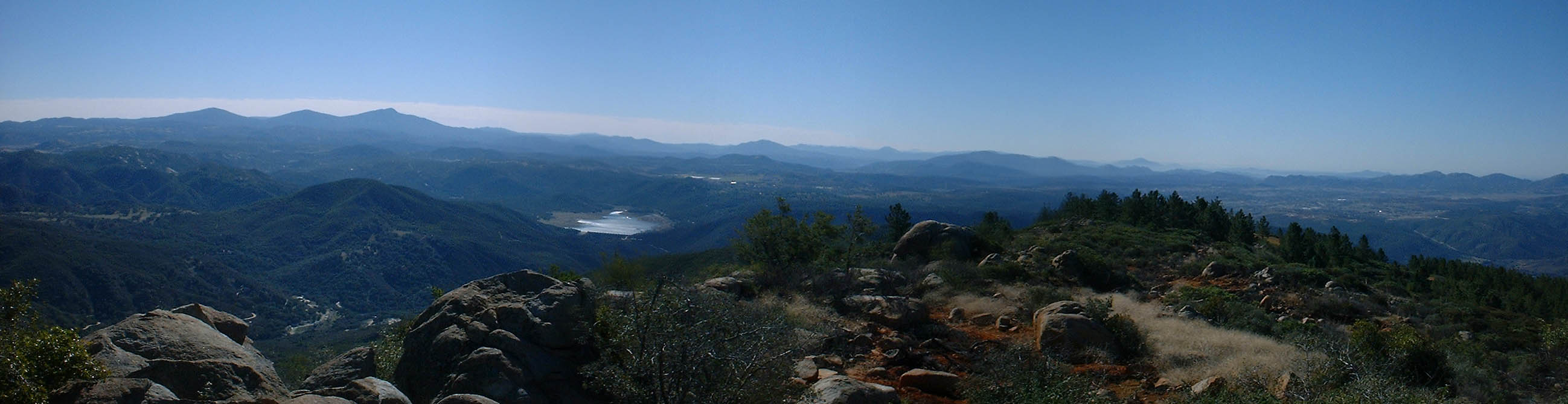
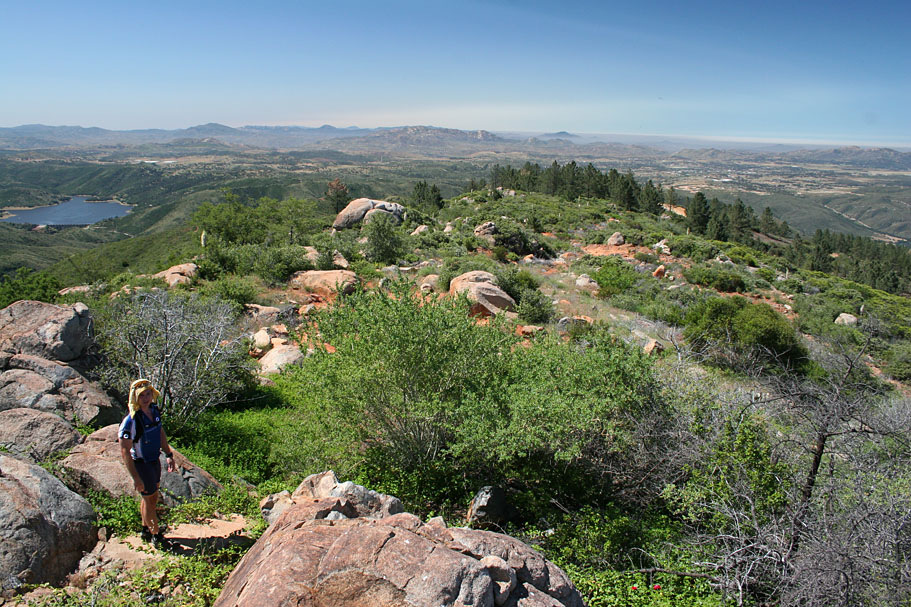
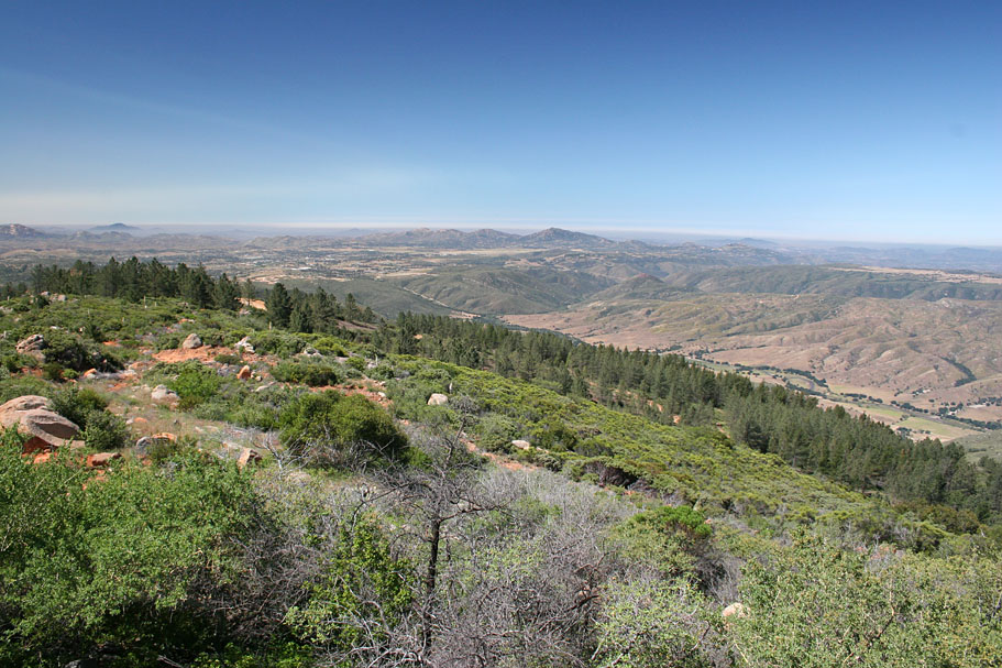
| Here is a panoramic shot taken at mile 8.9 on the Santa Ysabel Truck Trail |
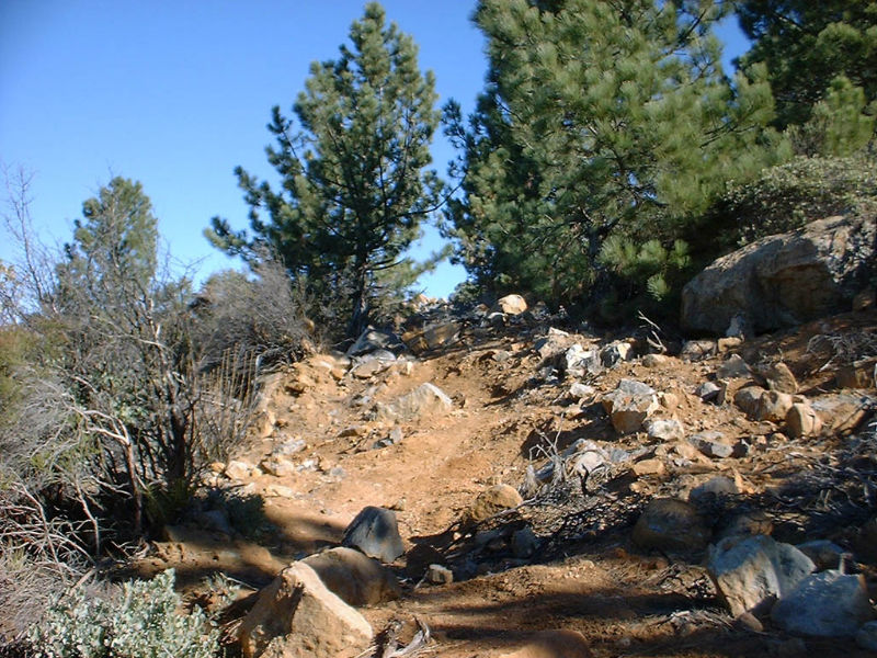
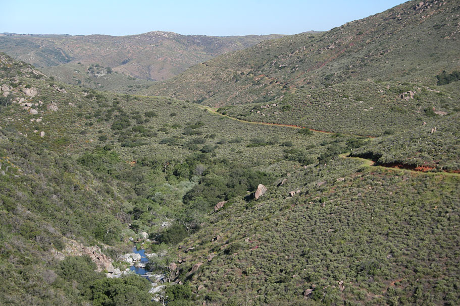
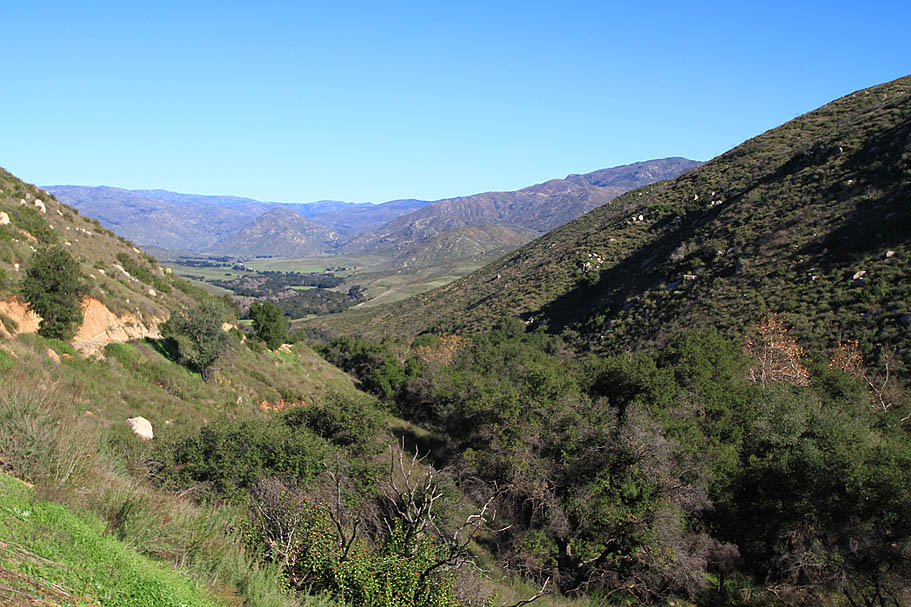
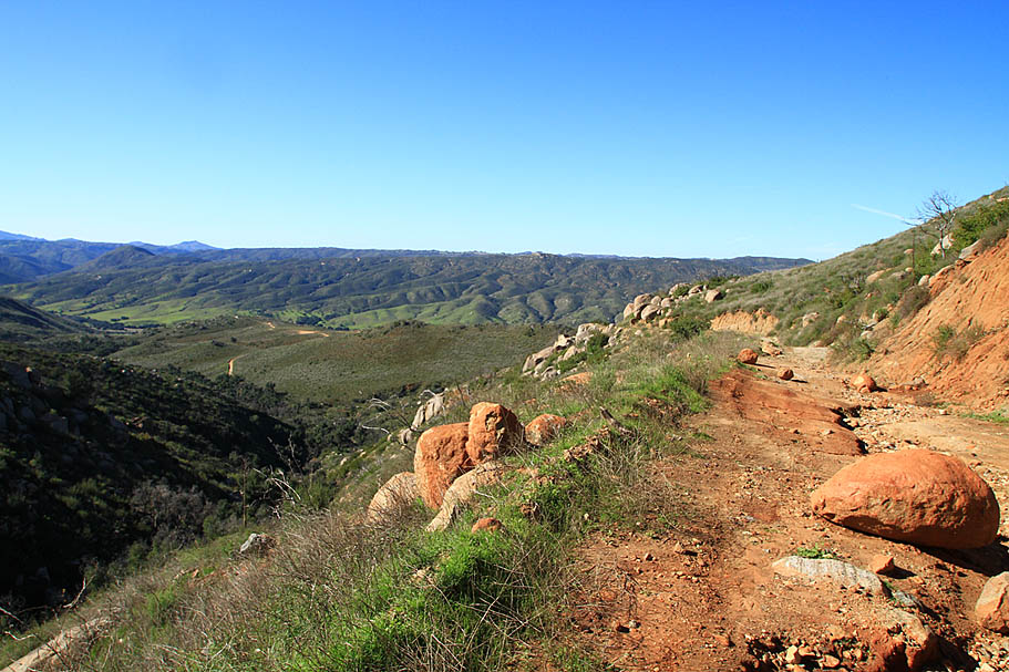
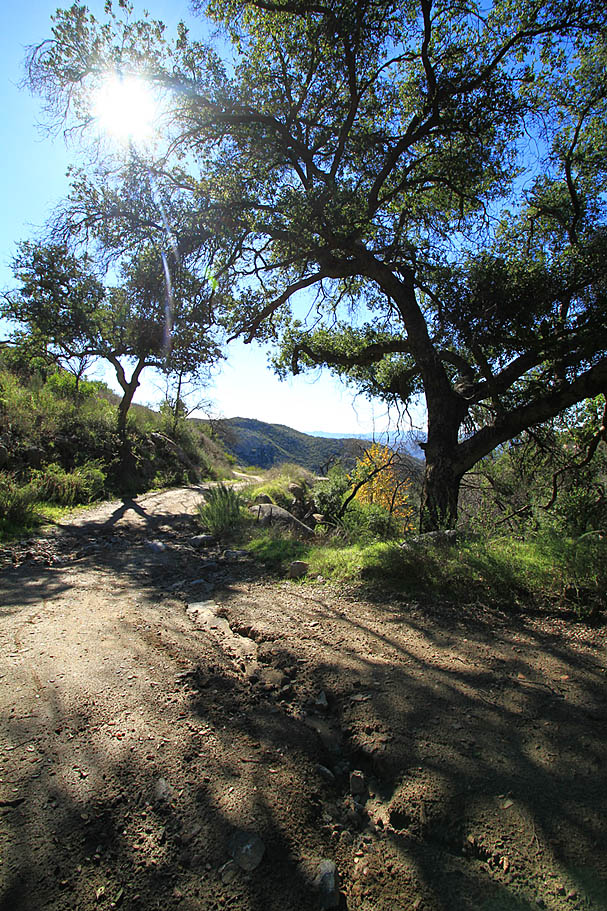
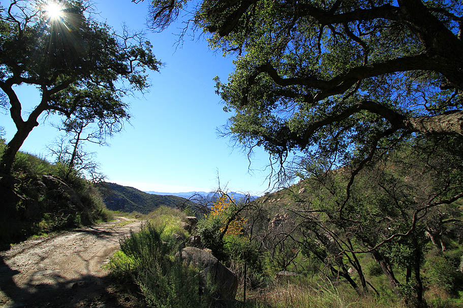
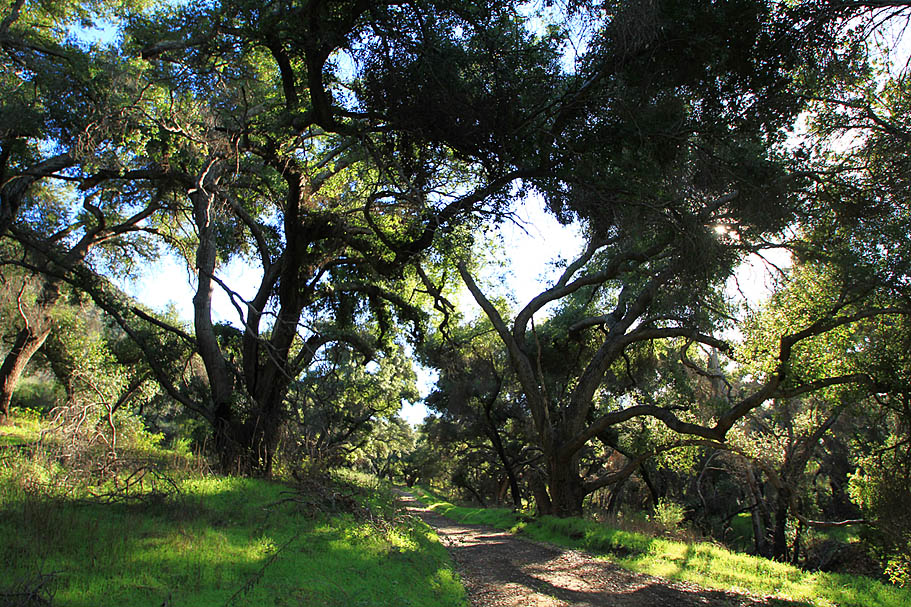
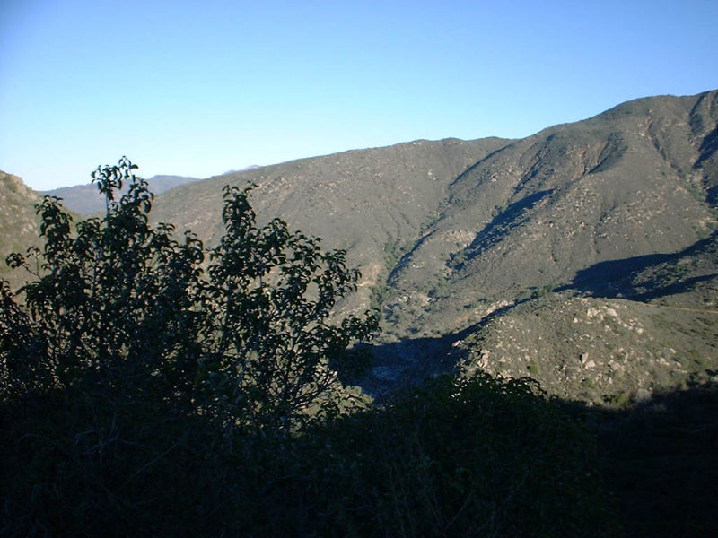
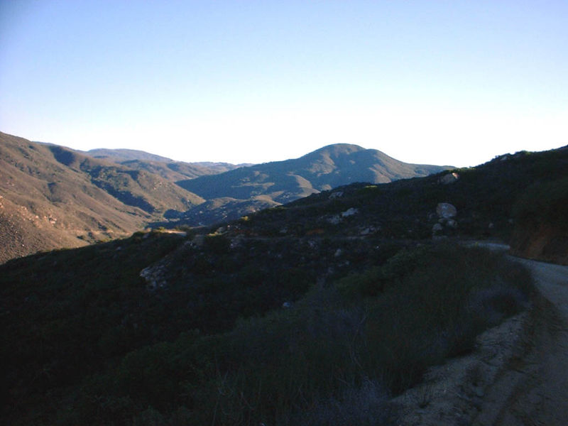
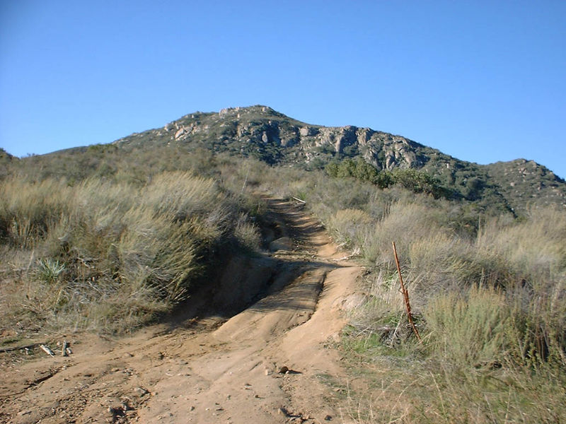
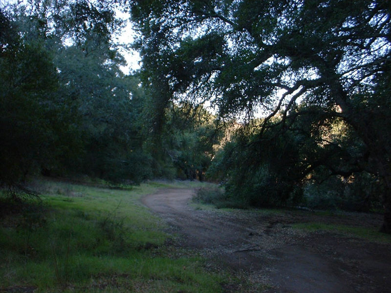
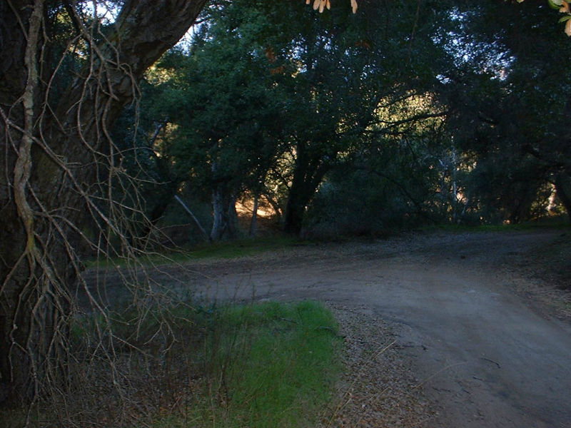
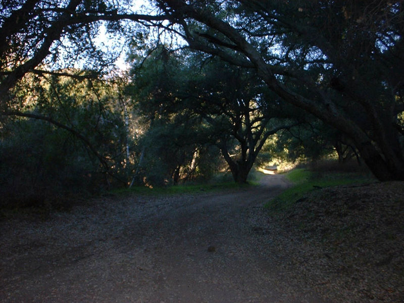
| After taking in the views I rolled downhill into a grove of trees at mile 9.3 where the trail splits in two directions. The three pictures below are of that intersection, looking left, straight, and right respectively. I do not know where the trail off to the left goes. If you do please email me. I have heard that it will eventually take you out to Pamo Valley Road near the bottom of the steep pavement climb (more on that to come) I took the trail to the right which apparently is the Santa Ysabel truck trail still. |
   |
|
|
|
 |
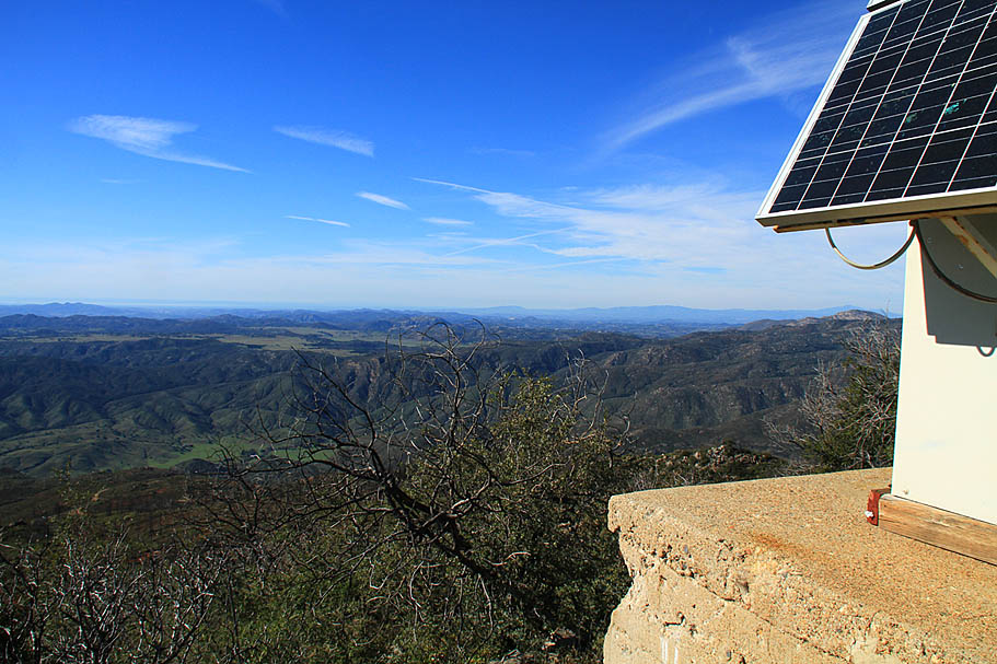
 |
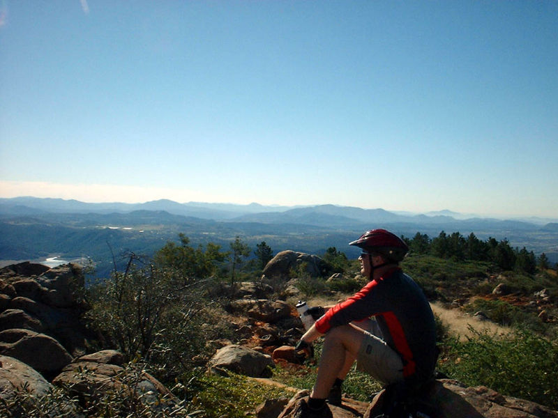
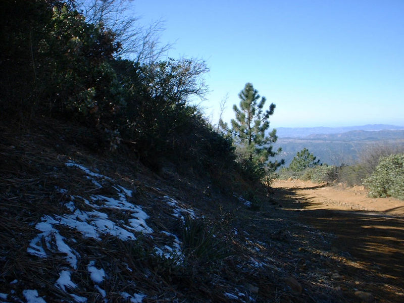
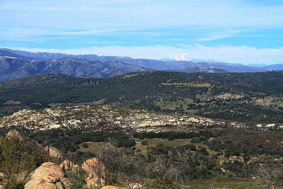
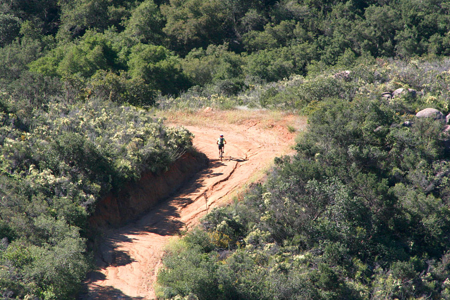
| After I had my fill of the peak I hiked back down to the bike and rolled off down the trail. On the way down I did stop and take a few pictures. One thing that was interesting is that up near the top of the mountain I found a small shaded area with a hold out patch of snow from a storm a couple of weeks ago. Considering that it was in the mid-70s in February, I decided it was picture worthy. I planned on taking more pictures on the way down, but when you have a 7.5 mile down hill that sheds off over 3,000 feet it is hard too pause the adrenaline rush. Watching my speed was the name of the game on the way down. The tricky ruts seemed to pop up in turns and the wash boards really worked my hands over pretty good. |
|
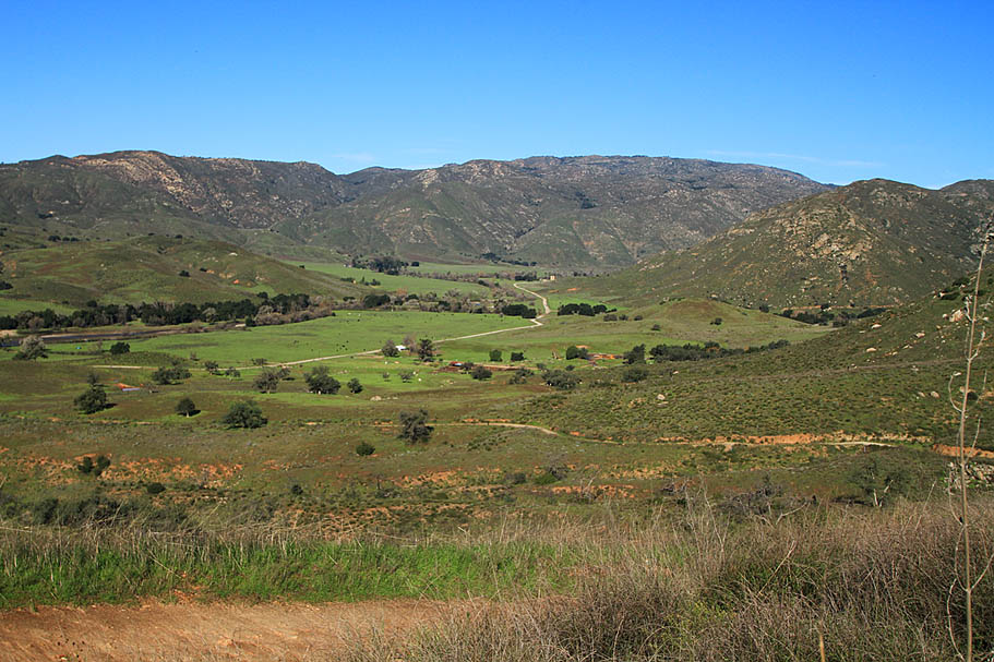
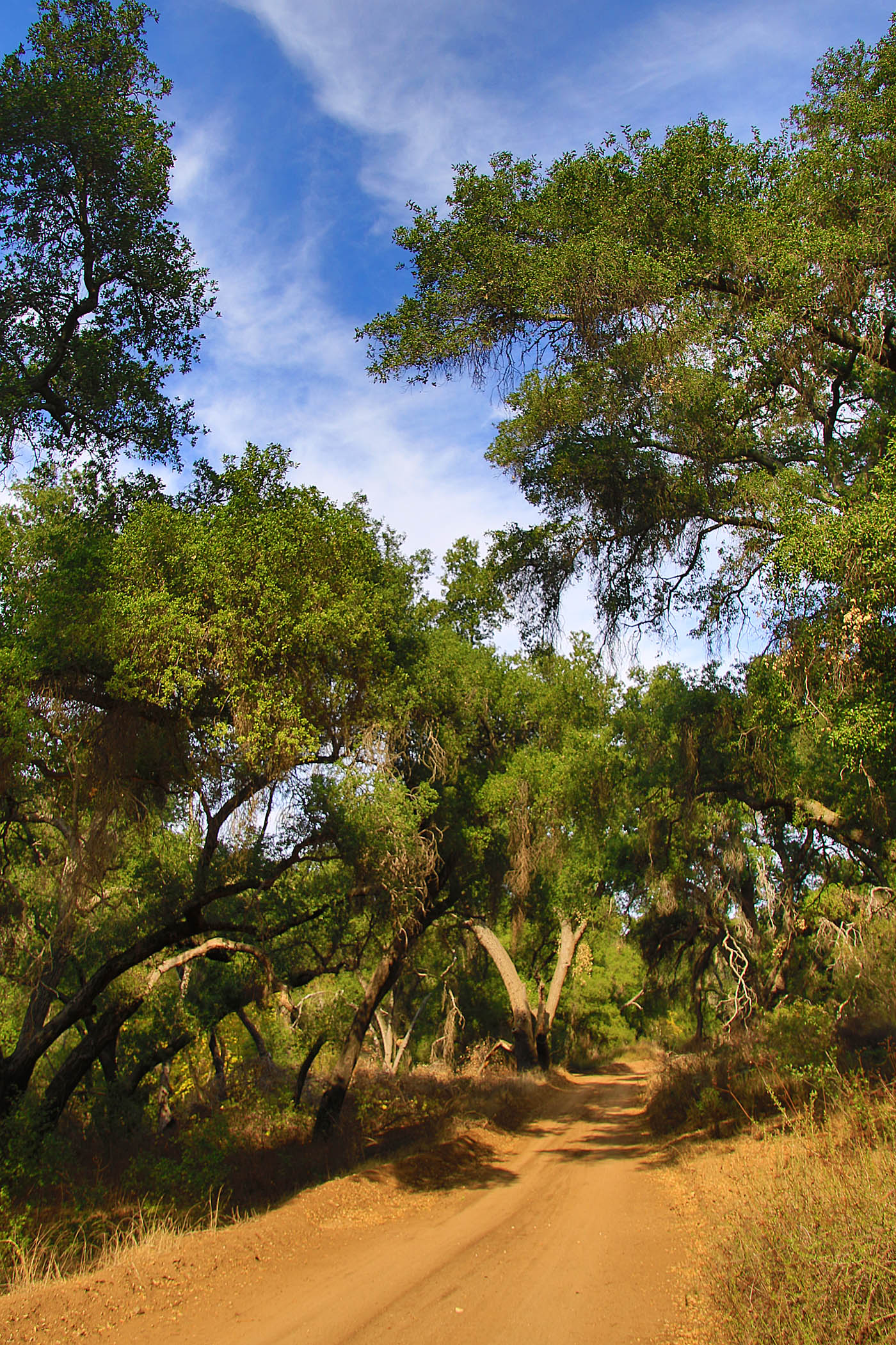
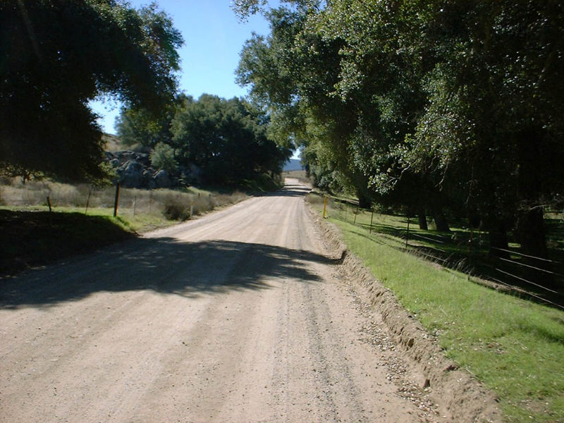 At 21.5 miles I reached the junction of the Santa Ysabel Truck trail again, but this time I just kept on hauling bootie down the Black Mountain Truck trail. At mile 23 I got down to Pamo Valley road where I hung a left. Pamo Valley is very picturesque with cattle grazing in pastures framed by oak trees. I also noticed that there was an exorbitant number of ground squirrels running amuck in the pastures. It was quite entertaining to watch the squirrels scurry for cover as I approached them. After about 3 miles of rolling along the mostly flat dirt road it transitions to pavement and starts a climb that gains 670 feet in 1.7 miles. Considering all the climbing I had already done and I had already done 26 miles I found this climb to be quite difficult. There was no middle ringing this hill. I was in the granny and fighting hard to keep moving. I made it to the top but my legs were pretty much shot. After cresting the hill I rolled another 3/4ths of a mile and hung a left at Pile road. I took Pile road back to the junction of Black Canyon road where my truck was parked. The total mileage of this ride 29.85 miles! At 21.5 miles I reached the junction of the Santa Ysabel Truck trail again, but this time I just kept on hauling bootie down the Black Mountain Truck trail. At mile 23 I got down to Pamo Valley road where I hung a left. Pamo Valley is very picturesque with cattle grazing in pastures framed by oak trees. I also noticed that there was an exorbitant number of ground squirrels running amuck in the pastures. It was quite entertaining to watch the squirrels scurry for cover as I approached them. After about 3 miles of rolling along the mostly flat dirt road it transitions to pavement and starts a climb that gains 670 feet in 1.7 miles. Considering all the climbing I had already done and I had already done 26 miles I found this climb to be quite difficult. There was no middle ringing this hill. I was in the granny and fighting hard to keep moving. I made it to the top but my legs were pretty much shot. After cresting the hill I rolled another 3/4ths of a mile and hung a left at Pile road. I took Pile road back to the junction of Black Canyon road where my truck was parked. The total mileage of this ride 29.85 miles! |
2005 Ride |
|
|
    |
     |
News Year's Day 2011I decided to start the New Year off with a long solo ride to reflect upon the past year and to get it some quality thinking time about 2011 and beyond. I also decided to do this loop in the opposite direction that I have done in the past. I think I like clockwise direction better than the orginal direction.
|
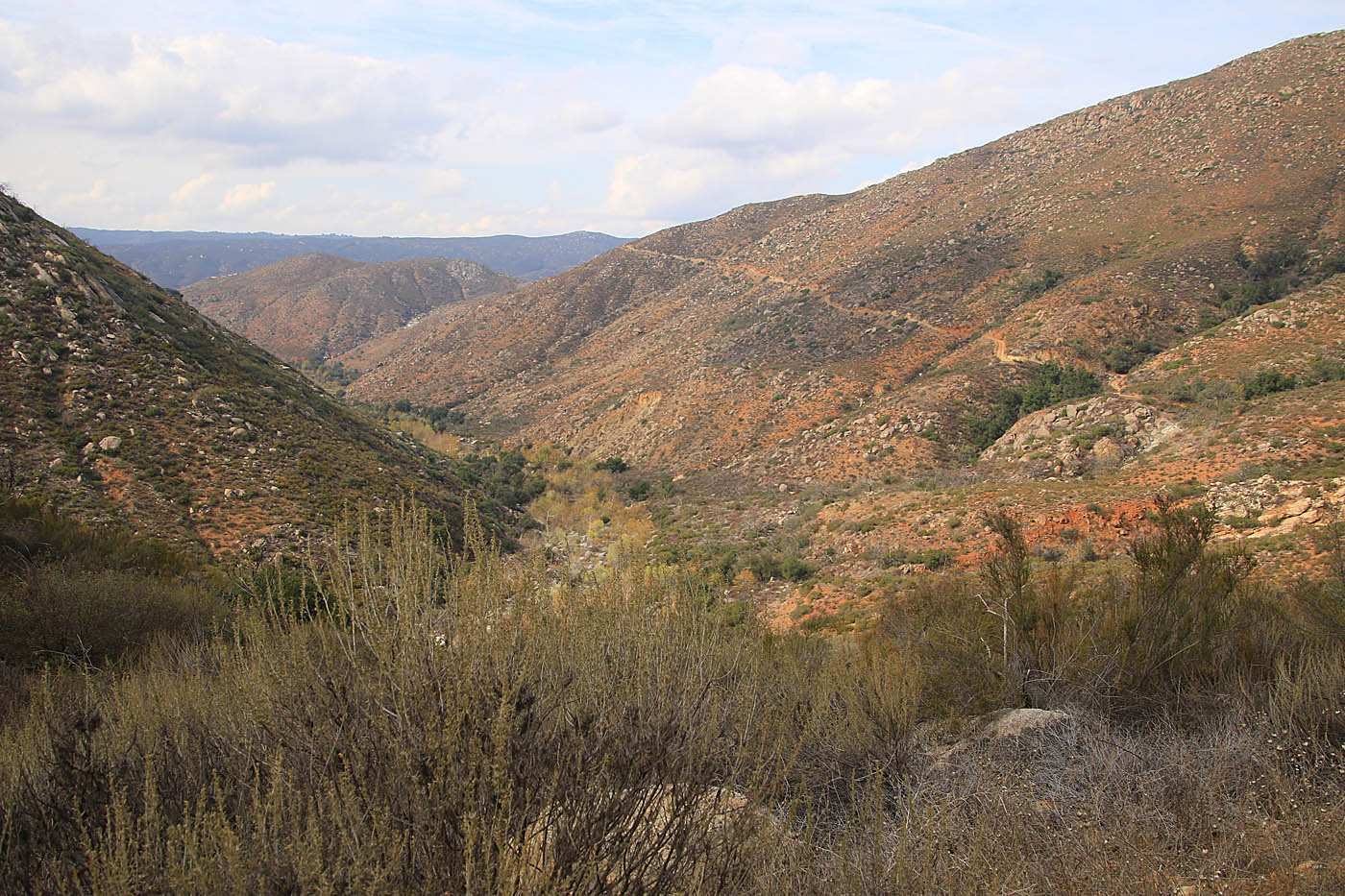
Post Turkey Day Ride 2016Some Pictures from a ride up Black Mountain on November 26th, 2016.
|