Black Star Canyon to Silverado Loop
The Black Star Canyon/Silverado Loop is a really great ride that will give your climbing legs a really good workout and then reward you with a truly great downhill single track. You then get a seven mile paved road return that is flat or downhill all the way back to your vehicle to "shake out" any kinks you may have gotten in your legs. Directions: From I-5 take Lake Forest Exit East for 4.5 miles. Take a right on Portola. Then Take a left on Glen Ranch At the T-intersection, Make a left on El Toro Road. About a mile down the road El Toro turns into Santiago Canyon Road. Take Santiago Canyon Road about 5 miles north. Turn right on Silverado Canyon Road. Take the first left which is Black Star Canyon Road. Drive about one mile to the gate and park. A portion of this loop was burned in the 2007 Wildfires |
||
Hazards: Loose Gravel on Main Divide. Silverado Motorway has some very loose sections that require you full attention. Note: There are a lot stories about a couple of people who live on Black Star Canyon road that think that Black Star Canyon is a private road. It is indeed a public road (technically a public easement). One particular man has been known to harass bikers going by. The bottom line is you have a right to be there on the road so if you run into this guy smile, wave and keep on moving. For additional information on the public's access to Black Star Canyon Road check out the Warrior's Society page. |
||
|
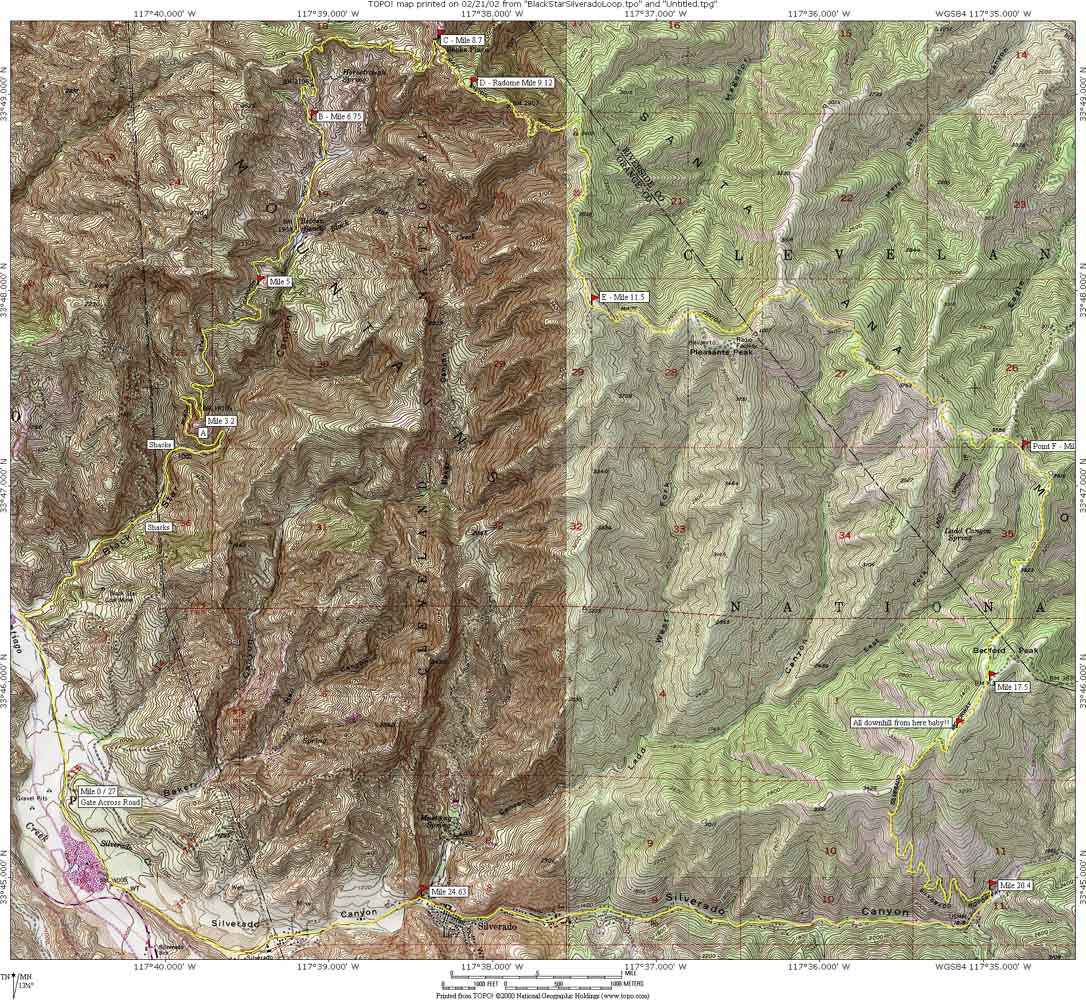
To the left is a map. Also see the GPS files: GPX TPO GDB KML This ride has a lot of distance and elevation changes. Please take a look at
my notes on the GPS and TOPOs page about elevation
changes, distance and GPS. |
 |
| Ride Report (2002): | ||
 |
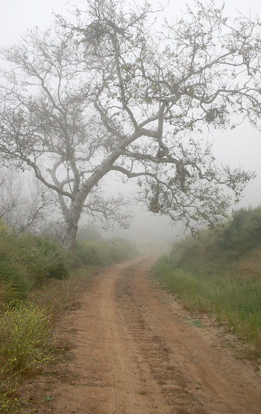
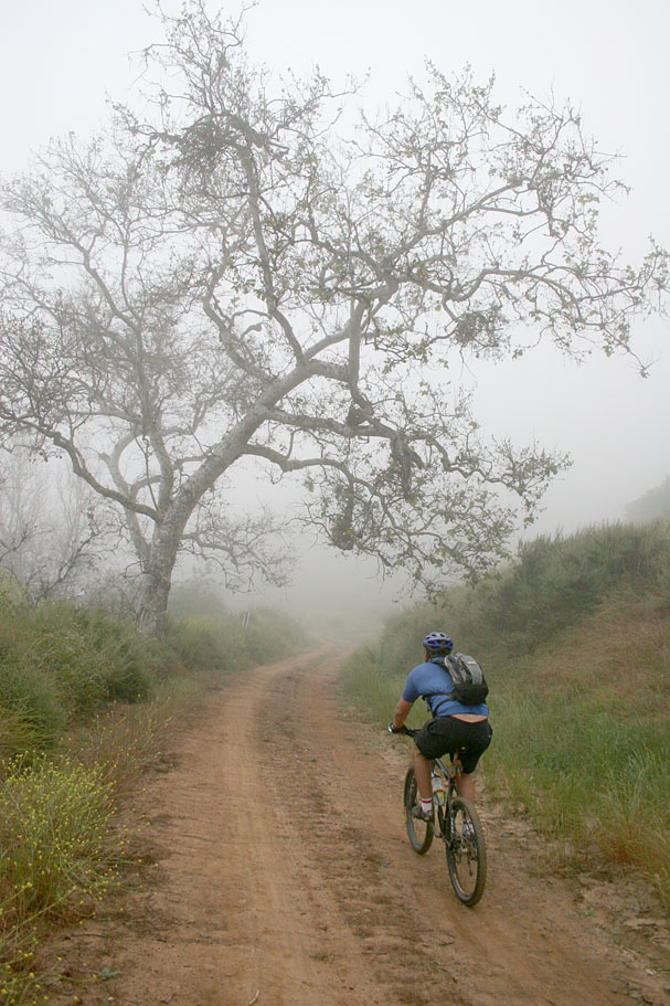
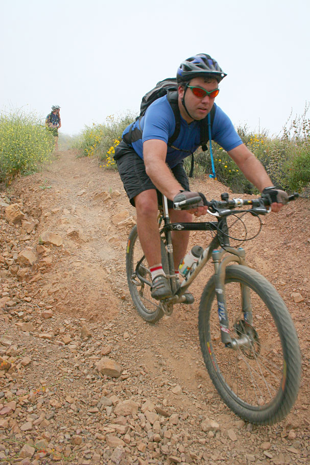
After getting yourself and bike around the closed gate across Black Star, you roll along a flat paved section. The morning I did this ride it was really foggy when I started out with visibility being no more that 50 yards or so. After a mile of rolling on pavement the road hangs a sharp right and transitions to hard packed dirt. During the next 1.5 miles you will see a ton no trespassing and private property signs on the trees. They should angled on the trees to lead the uninformed to think that the road is private. Once again it is not, the land on either side of the road is so stay on theroad. | |
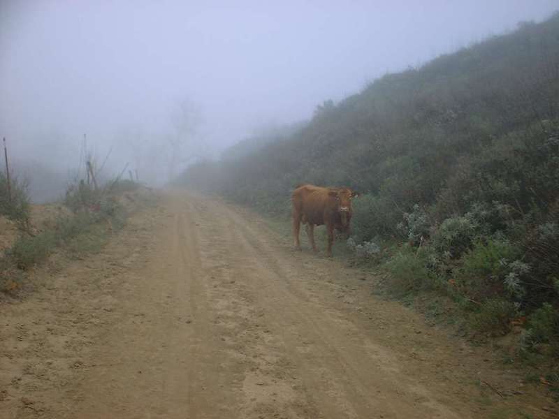 |
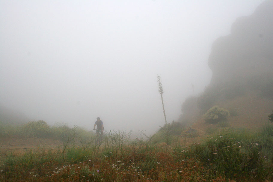
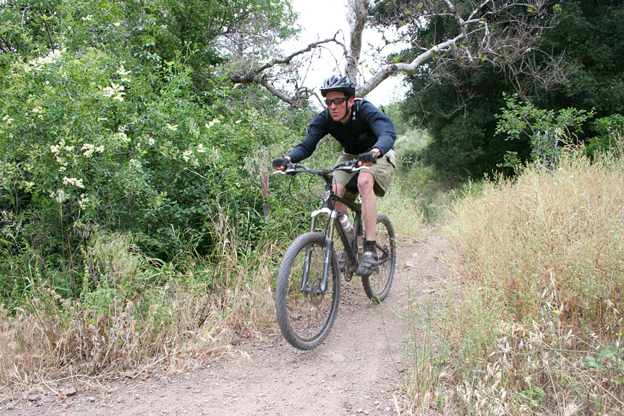
At 2.75 miles you pass the last of the shacks and start some more earnest climbing. The picture to the left was taken a Point A (Mile 3.2) looking back down the canyon. You can see some of the crap around the last shack in between the grasses at the bottom of the picture. You will do some climbing until at mile 5 you get a break from the climb. You have a flat section for about 1/2 mile as you pass the Hidden Ranch area. You will also pass over your first of several cattle guards. There are a few more of the private property signs on the road around this area thatare placed at misleading angles on the posts and trees. You will not only notice plenty of cow chips in the road around here but you will most likely see a few cows as well. Okay does cow trump hiker and horse in the who yields to who triangle? Anyway the idea of a scared cow running lord knows what direction did not sound appealing so I stopped an made sure that cow saw me from a good distance before I rolled by. |
|
 |
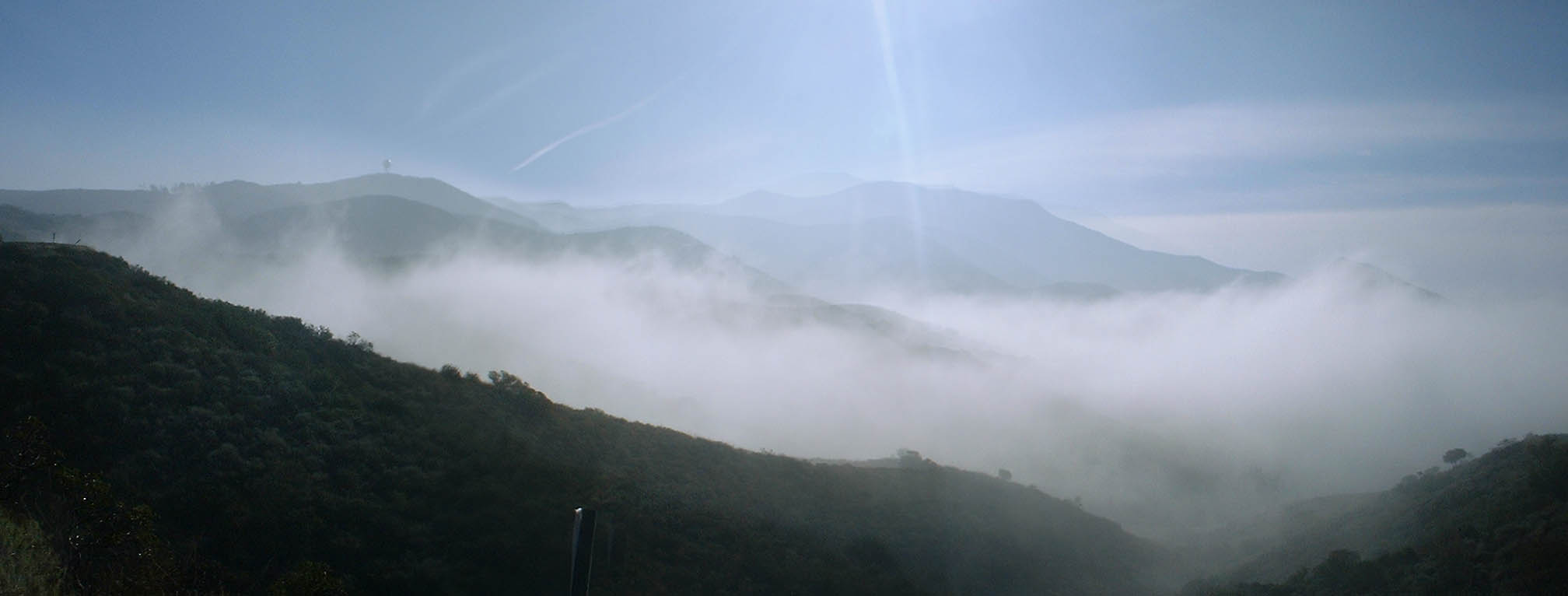
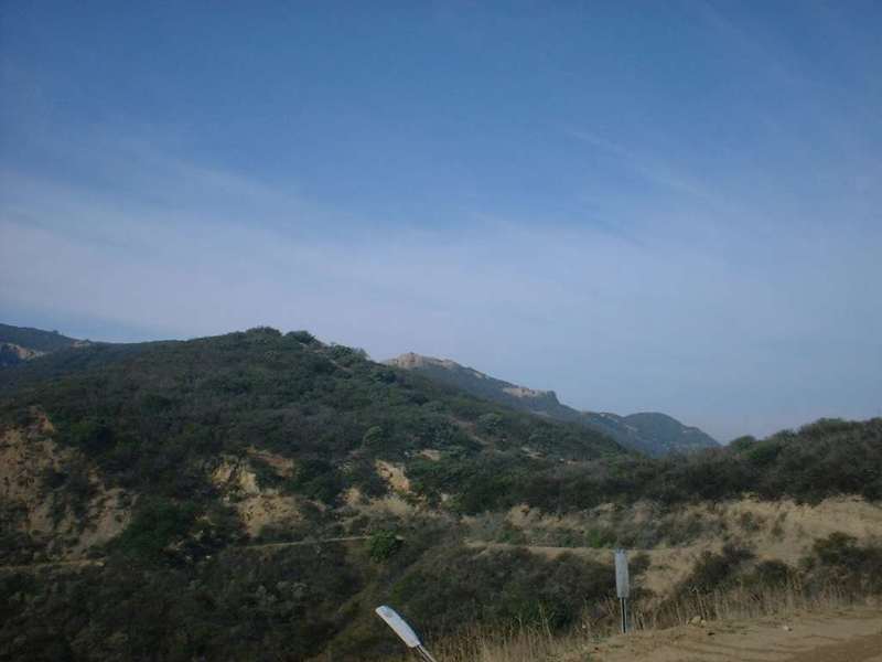
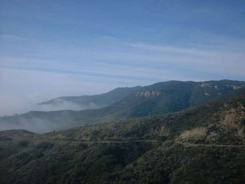
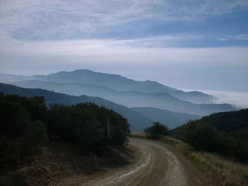
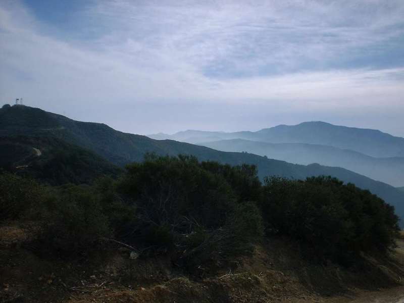
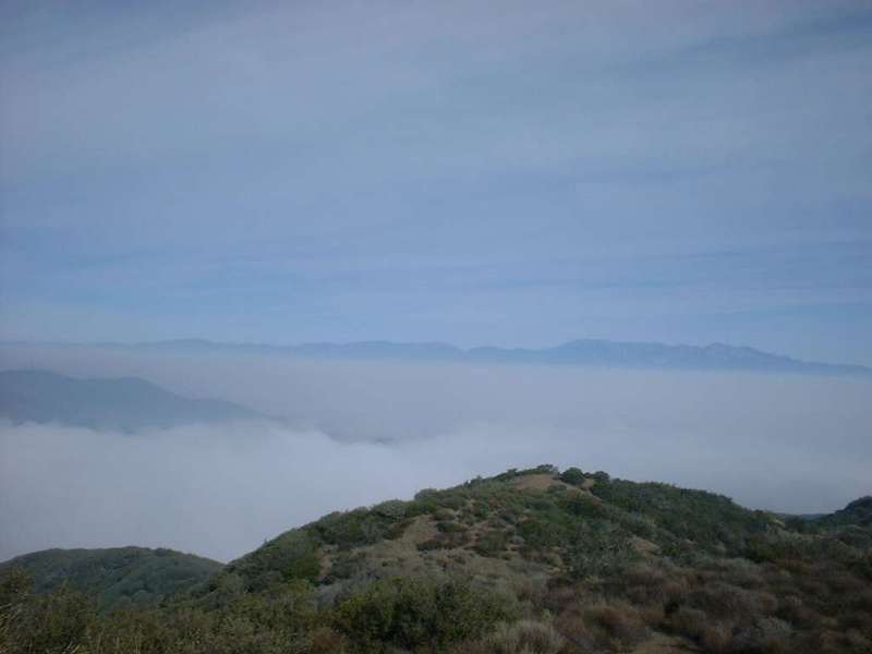
Shortly after rolling through the Hidden Ranch area the fog seemed to be breaking up. A few minutes later I realized that I was actually climbing up above the fog layer. The clouds clinging to side of the mountains with a beautiful blue sky above was quite inspiring. The pictures I took did not adequately capture the moment. The two pictures here and the panoramic shot below were taken around Point B on the map at mile 6.6. | 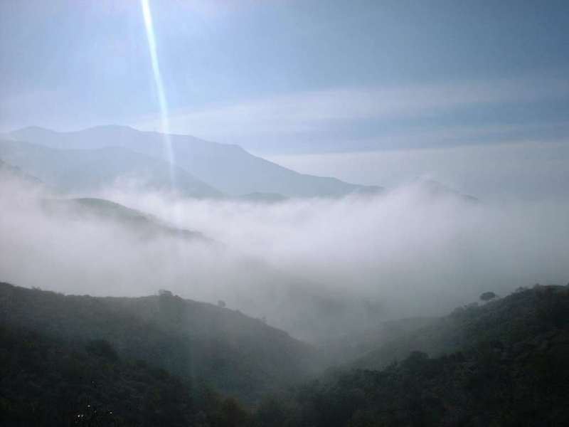 |
From this point on the road became steeper and the views just kept getting better.
|
||
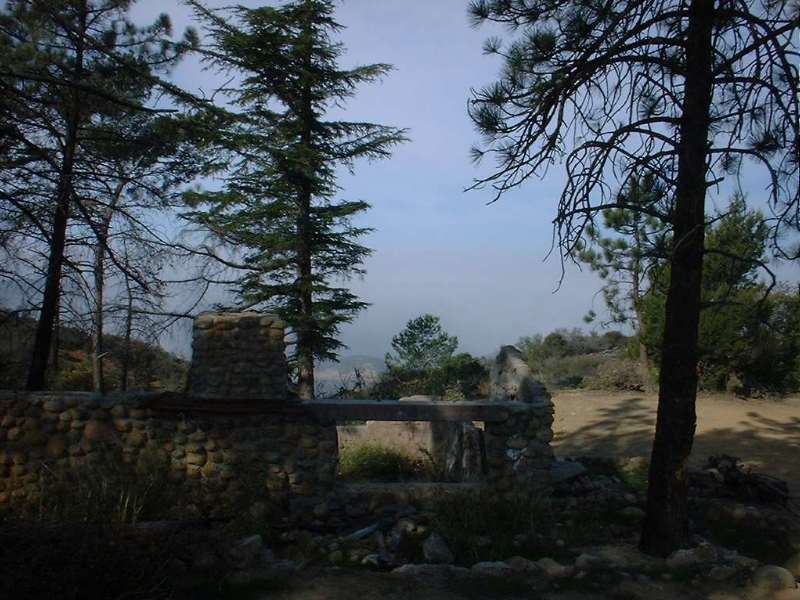 |
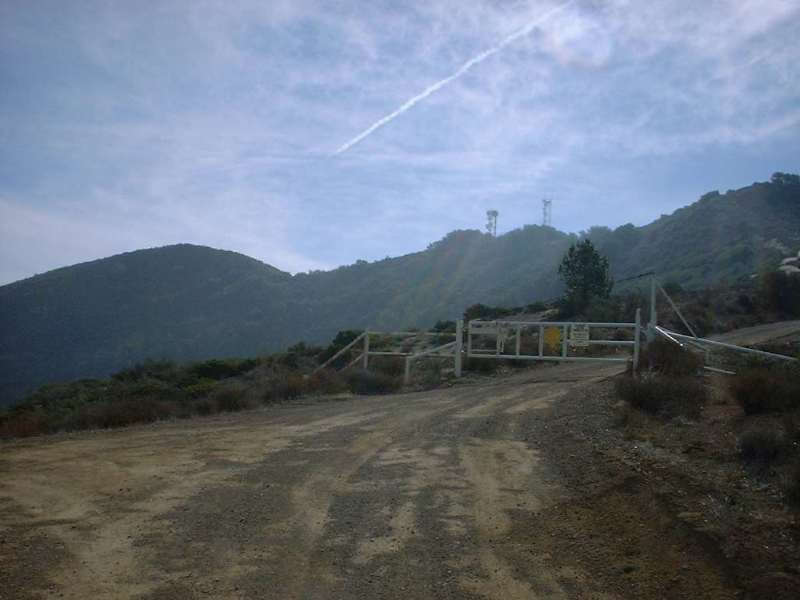
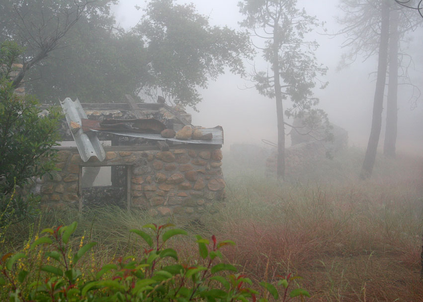
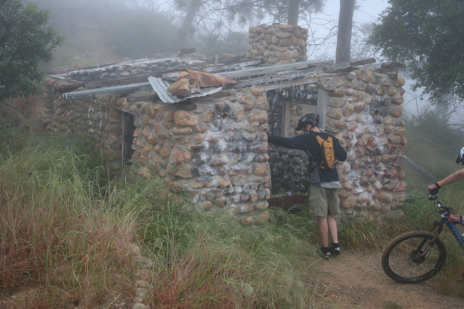
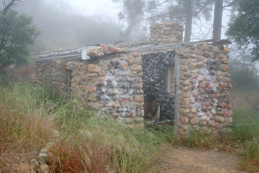
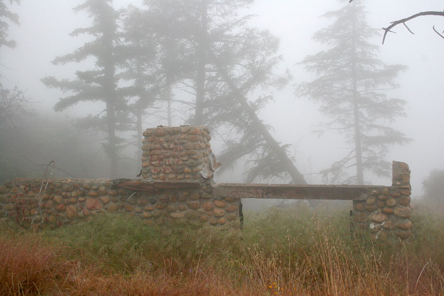
At Point C (Mile 7.5) you reach the junction of Black Star Canyon and Main Divide. This place is also known as Beek's Place. There is a couple of old stone building in a nearby grove of pines. I take it some dude named Beek used to live here. | 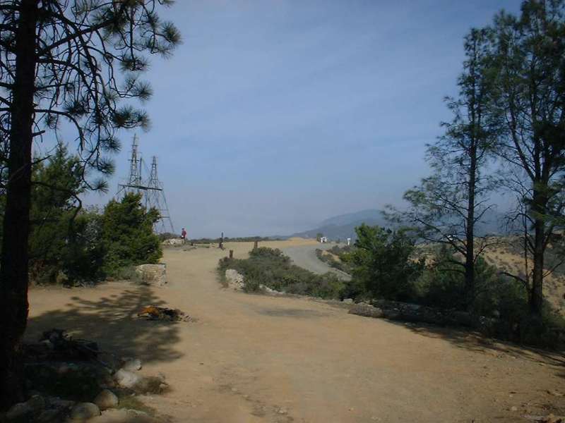 |
 |
Main Divide Truck Trail is about 40 miles long and runs along the ridgeline and peaks of the entire SantaAna Mountain Range. This is pretty nice spot to take a break if you like. When you get back to moving you will start climbing on Main Divide (That is a right turn from Black Star Canyon Road) | 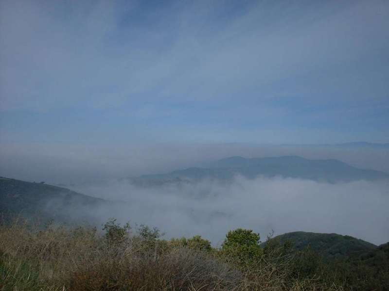 |
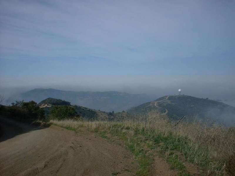 |
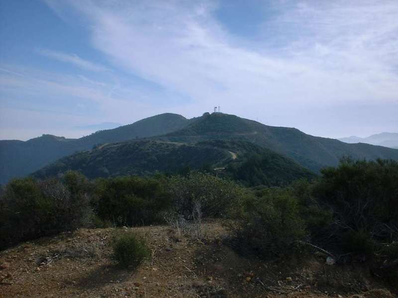
As you start climbing up Main Divide the views are continue to be stunning. At Point D (Mile 9.12) pass the radar dome that you observed as you where climbing up Black Star Canyon Road. (Pictured in the panoramic shot above.) As you pass the radar dome you are rewarded with a shot downhill section that will for a few fleeting moments make you legs feel like they are in heaven. Enjoy it while you can because the most demanding portion of the climb is coming up. Between Point D and E you will climb 1,601 in 1.92 miles with an average grade of 12%. | 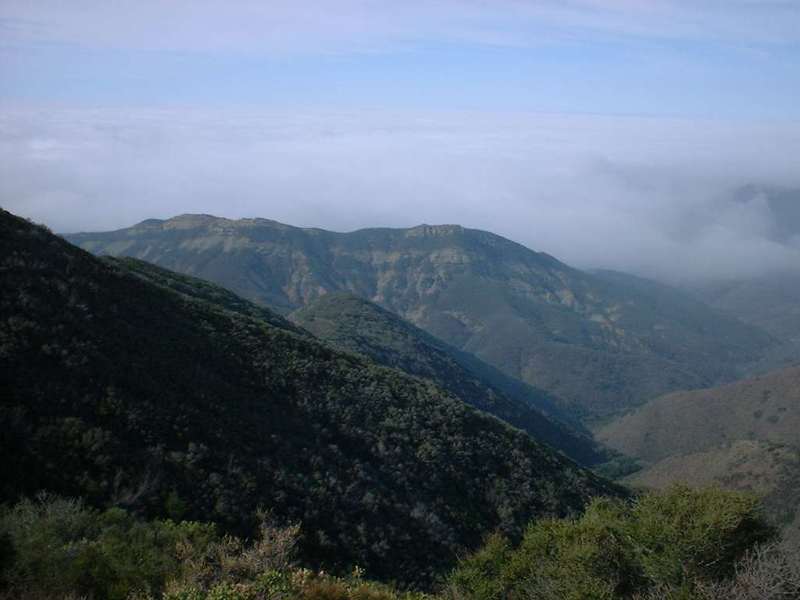 |
Here are a few pictures of the views of Main Divide taken between Point D and E
|
||
 |
Once you crest out and Point E (Mile 11.5), you will able to do some roller coastering for a ways. At mile 12.4 you come to a spur road goes off to the right and up to Pleasants Peak at 4,007 feet. Continue straight. | 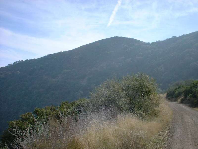 |
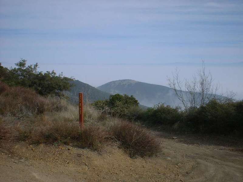 |
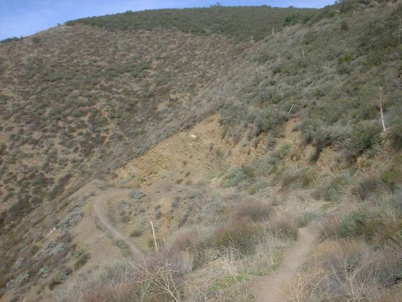
Main Divide this own point to Bedford Peak and the top of Silverado Motorway is only 161 feet of elevation gain. However Main Divide has a bunch of ups and down that will ultimately have you climbing 671 feet. Also along this section you will see some pine trees and well has grassy hillsides. At mile 15.6 (Point F) you will go by the top of Eagle Canyon Truck trail. |  |
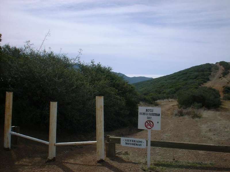 |
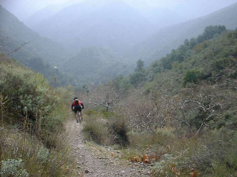
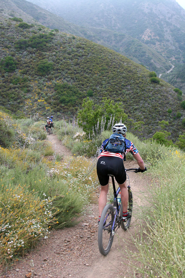
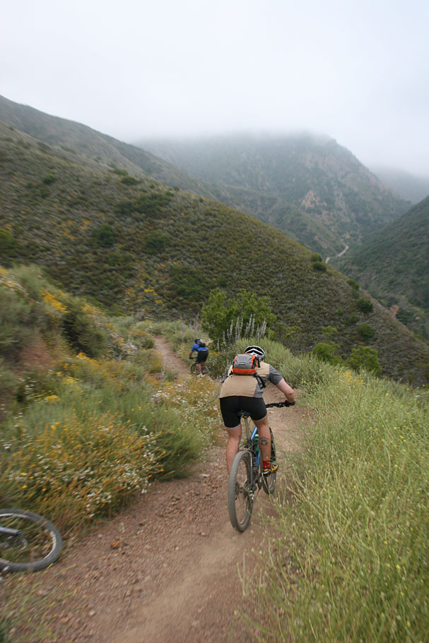
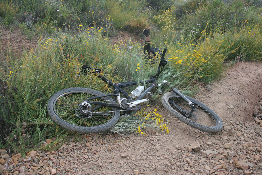
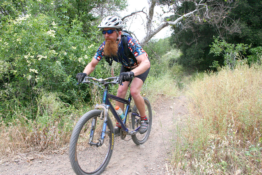
At mile 17.5 you reach the top of the Silverado Motorway at Bedford Peak. This is one really kicking singletrack that will most likely peg your adrenaline and "crap in your chamois" meter at the same time. Silverado Motorway drops 1,913 feet in 2.25 miles with and average grade of 17%. After you go around the gate you will climb for a couple of hundred yards and then it is all down hill baby! The first 1/2 of the downhill is by far the scariest (IMHO). The trail is extremely loose with squared off rocks about half the size our your fists making up the trail. Momentum is what keeps you going through here. Turning and braking in this section are really tricky, get a hair too much on the brakes and you are sliding. My turns were more controlled power slides with the whole bike doing a little fishtail wiggly. For me it was a scary adrenaline rush take your breath away while carping in my pants kind of feeling. I did not take any pictures of that section because I was too jazzed to stop. Below are pictures of the rest of trails below that section. | 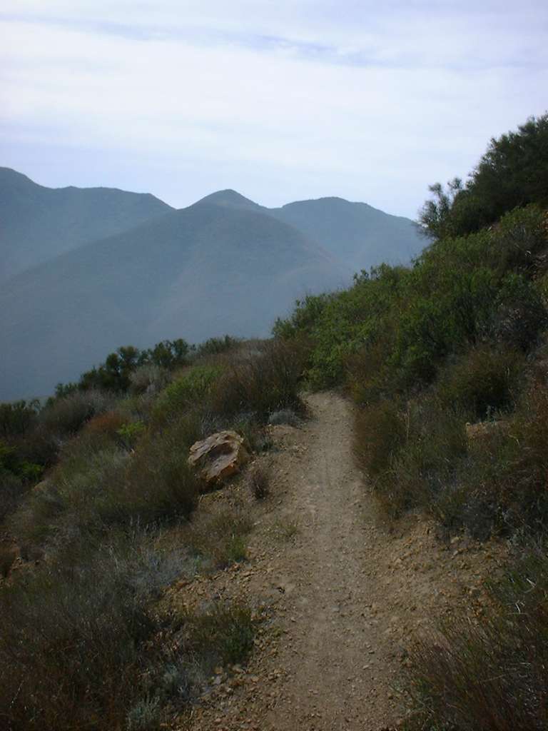 |
    |
||
| The bottom of the trail dumps you out on Maple Springs Road at Mile 20.4. Hang a right in after a couple hundred yards you will go around a closed gate. Roll through the parking lot and you will an will be on Silverado Canyon road. You will have a nice 6 mile ride on this road this is either downhill or flat so you will be carrying plenty of speed. Make a right on Black Star Canyon road and about a mile later you will be back at vehicle. | ||
| May 29th, 2005 Ride | ||
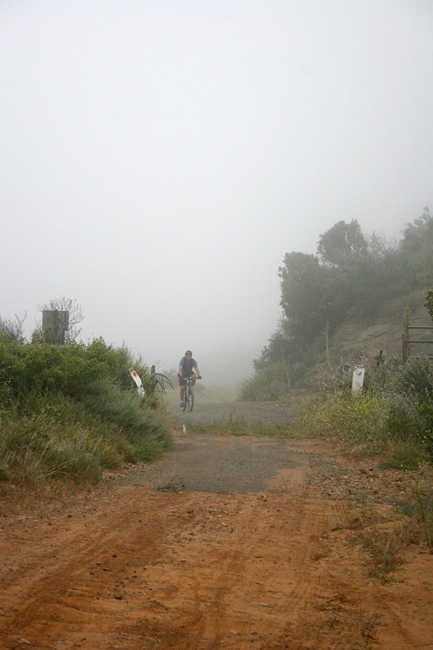
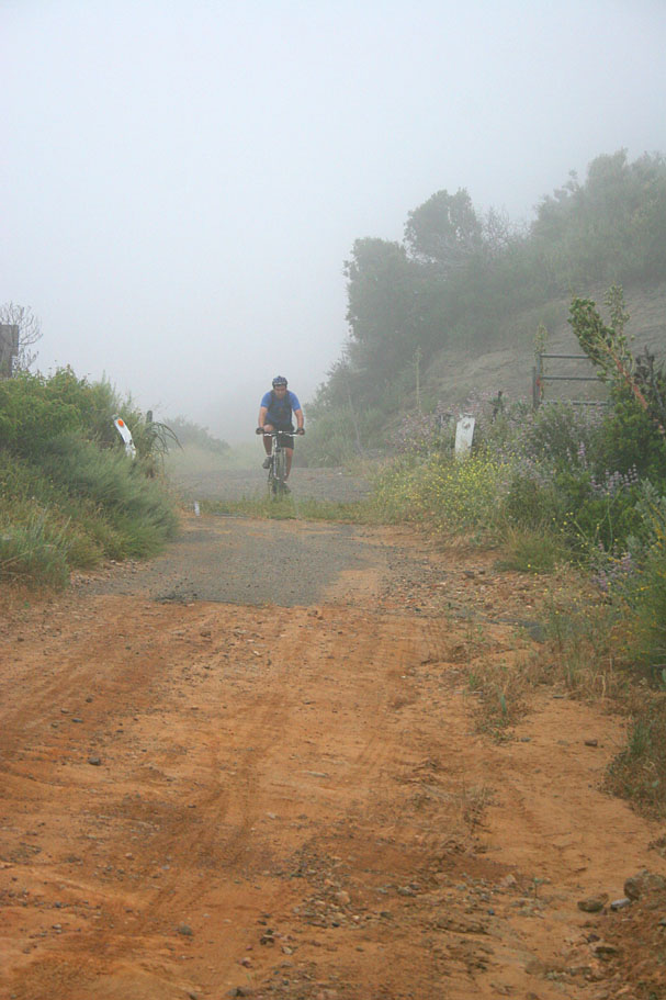
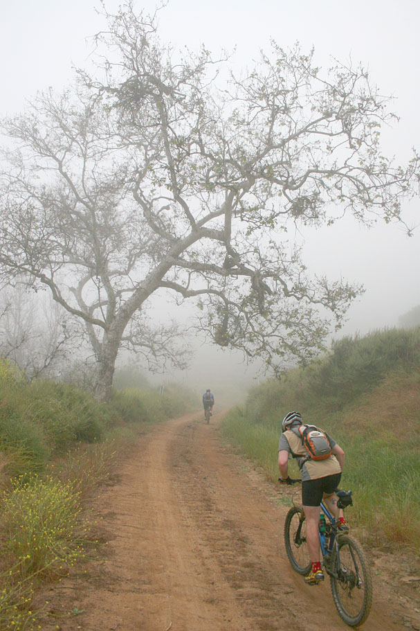
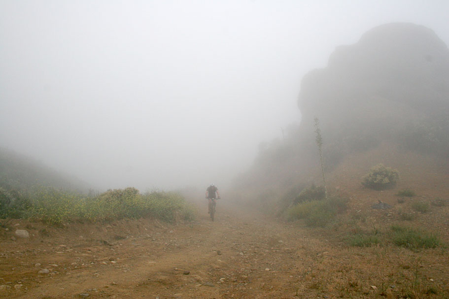
| I promised a view of my riding buddies that the incredible views from Main Divide were well worth the climbing effort of this ride, so they all signed up for the ride. All they got on this ride were wonderful misty 360 degree views in a 60 foot radius. Oh well it was a good workout and the trail was in just as good of shape as I had originally reported it in 2002. | ||
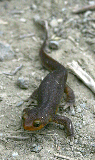 |
I have not seen too many salamanders in Southern California. This little guy was cruising across the fire road near the bottom of the canyon. As hard as we tried we could not get this guy to give a really good rate on our car insurance so we set him on the side of the fire road and went on our way. | 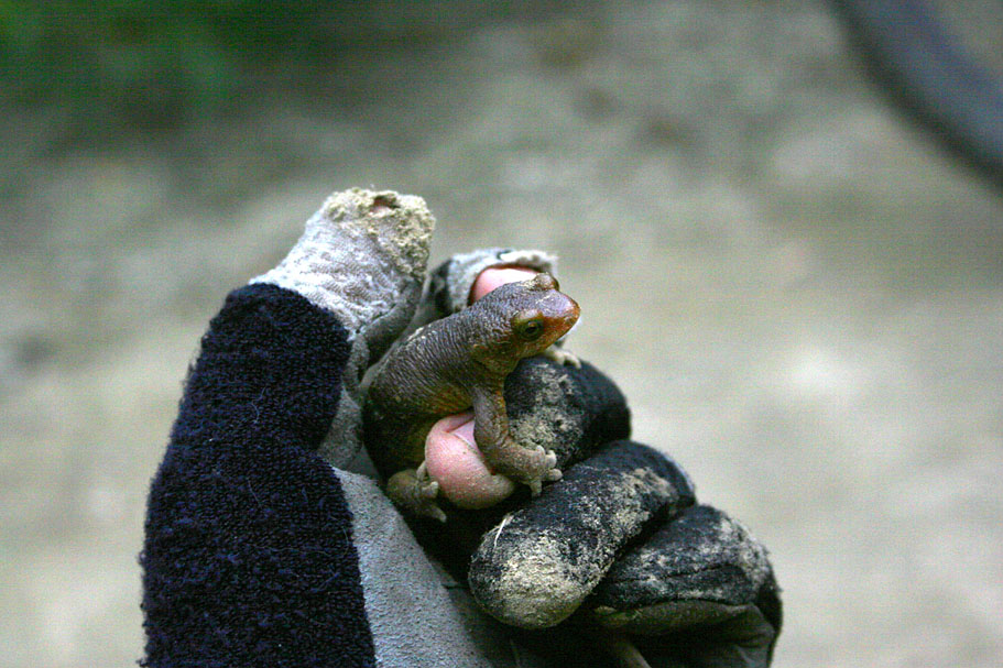 |
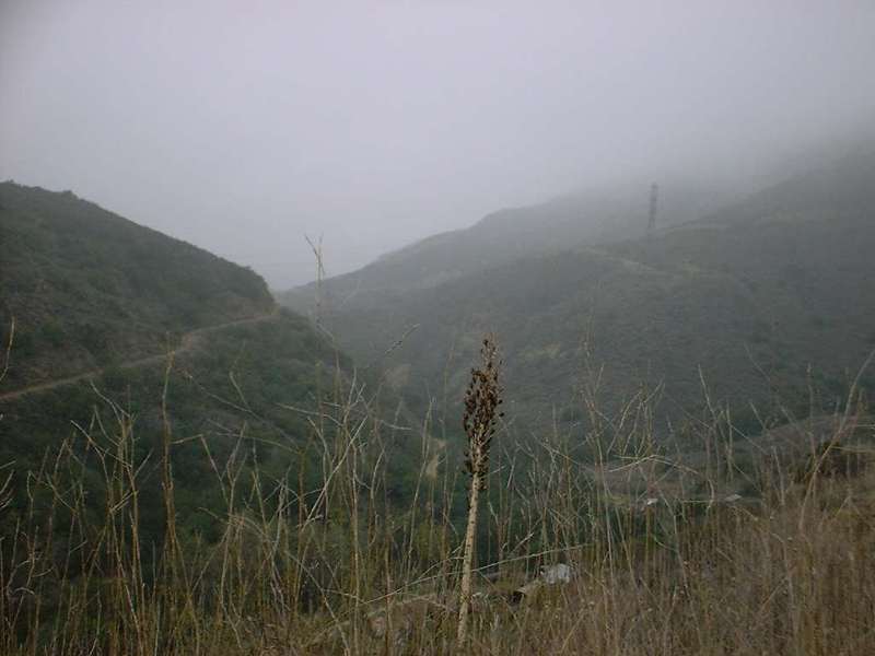
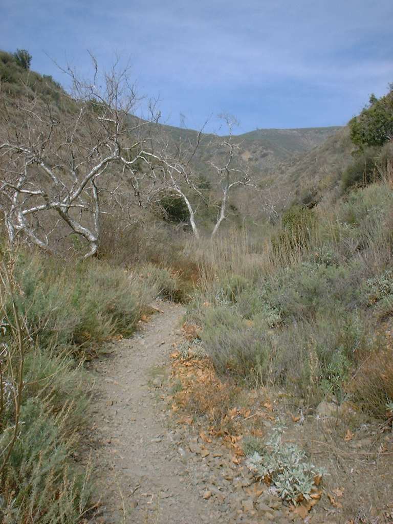
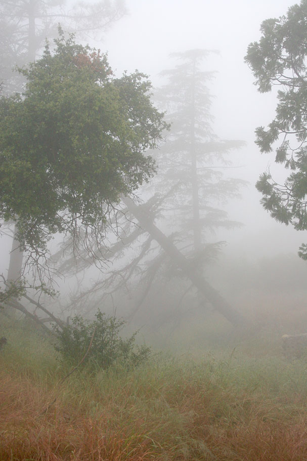
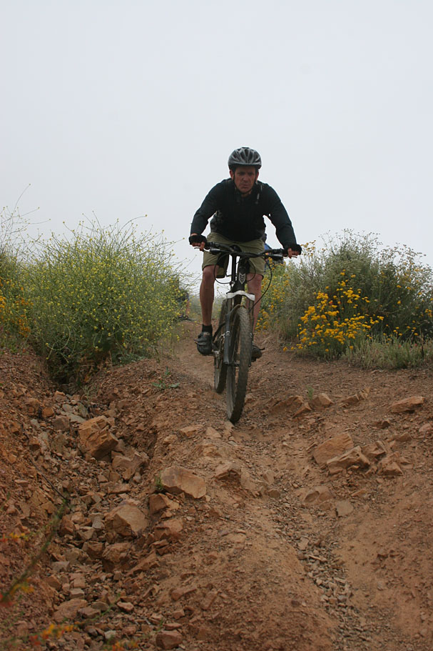
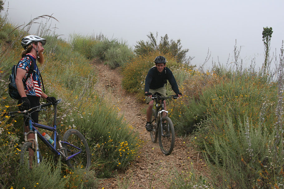
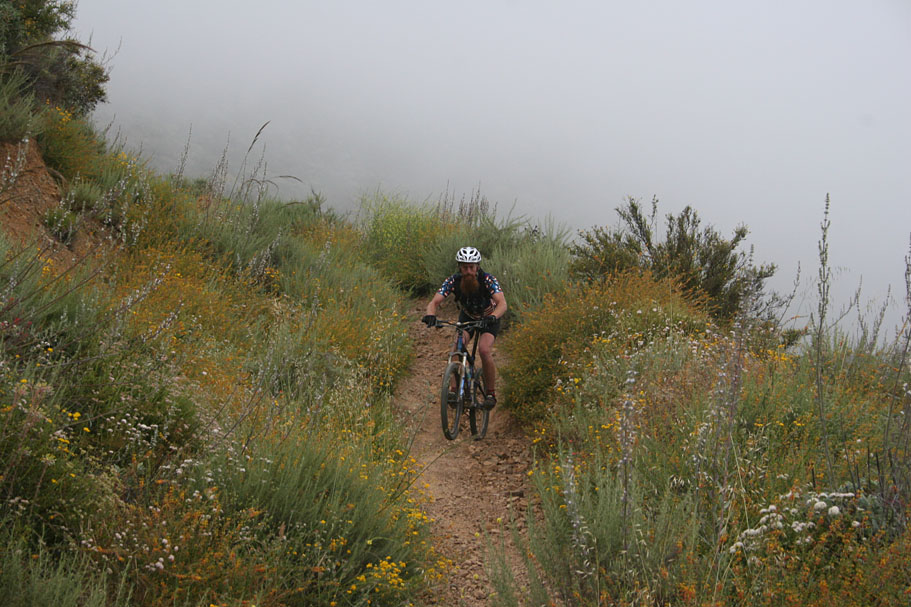
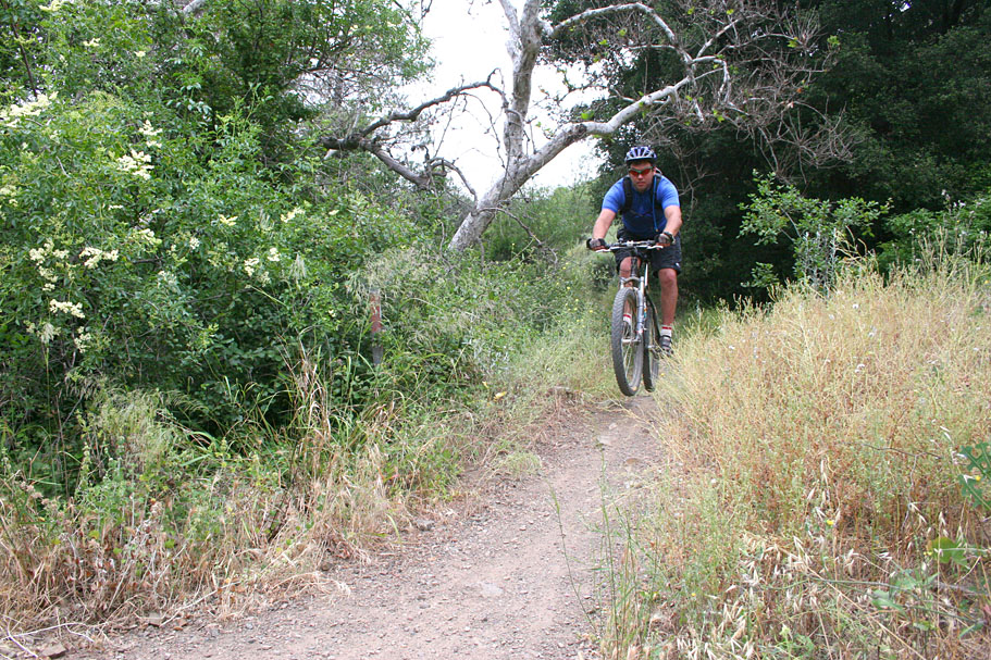
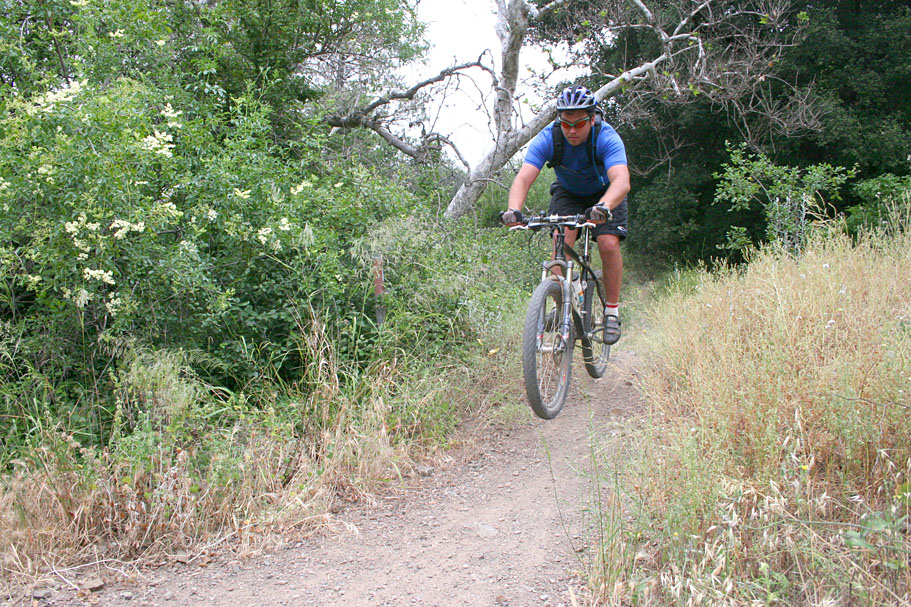
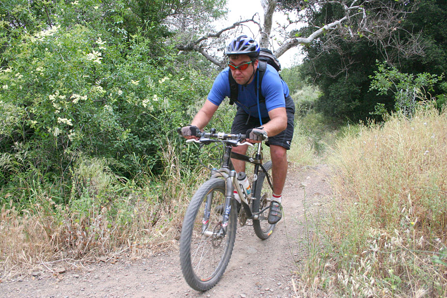
| Here are some pictures from the misty climb up Black Star Canyon | ||
        |
||
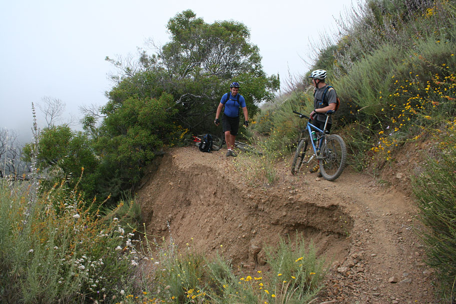
| Beek's Place at the junction of Black Star Canyon and Main Divide Truck Trail looked sort of cool in the clouds. | ||
      |
||
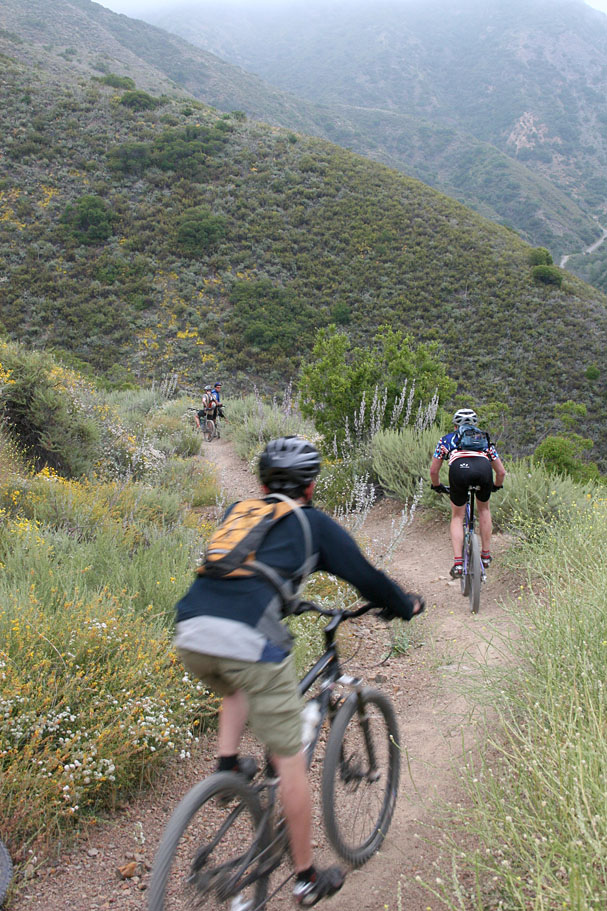
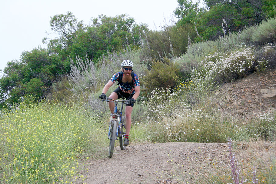
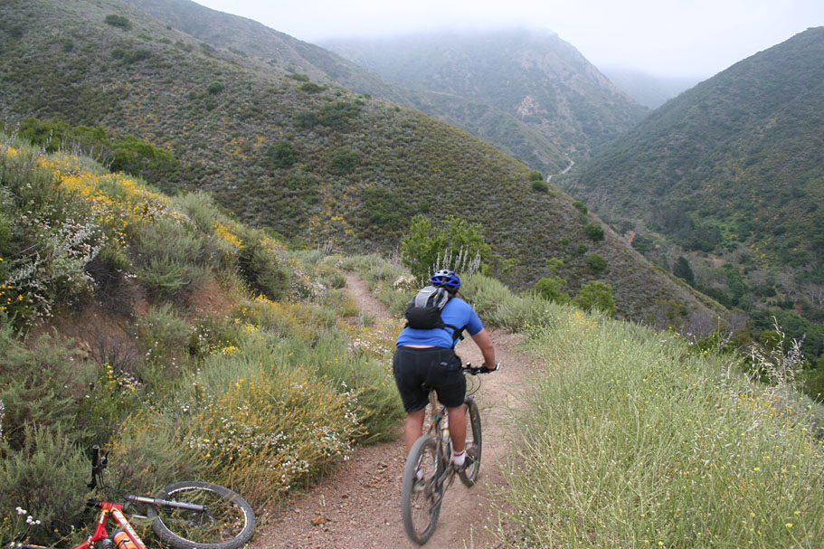
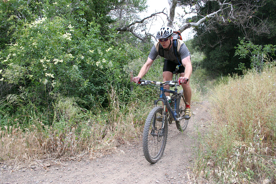
| Here are some shots from Silverado | ||
      |
||
     |
||
 |
John is a amateur geologist so he took a soil sample from alongside the Silverado Motorway. What a flower child! |  |
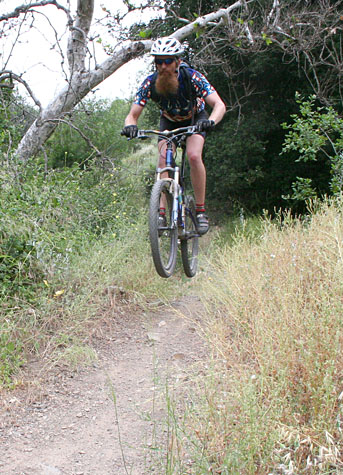
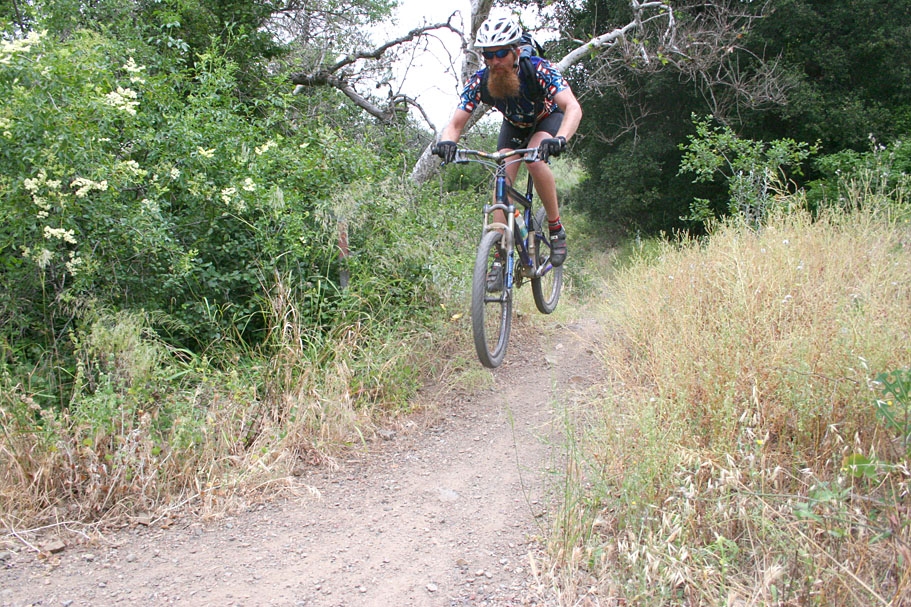
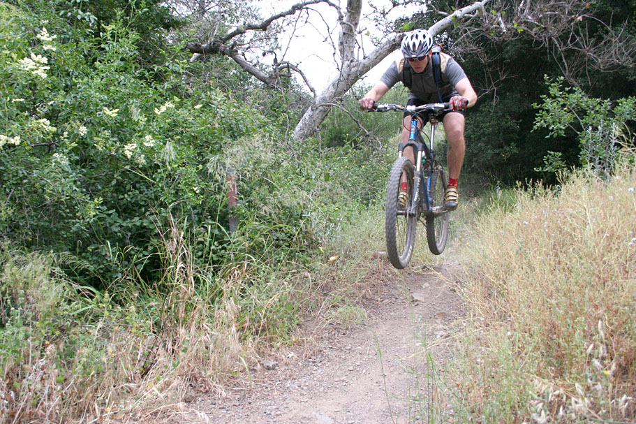
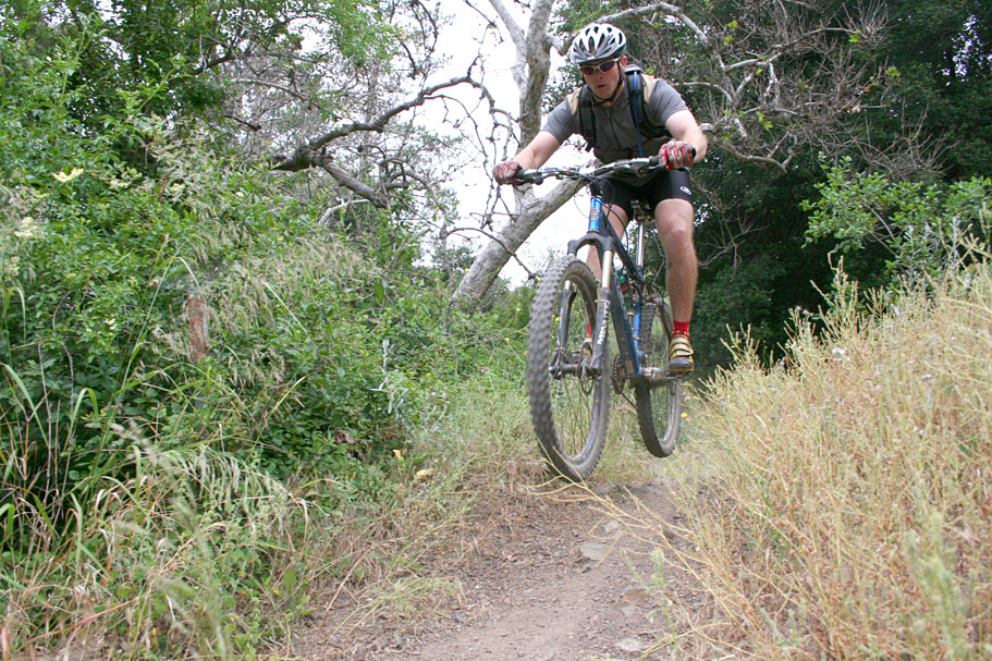
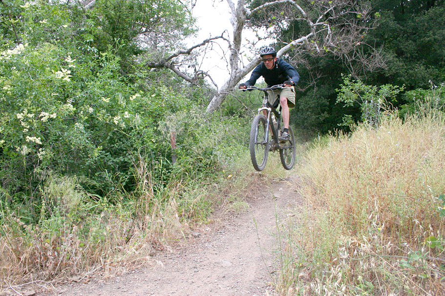
| Here are some shots of the guys fooling around small jump at the bottom of Silverado | ||
      |
||
     |
||