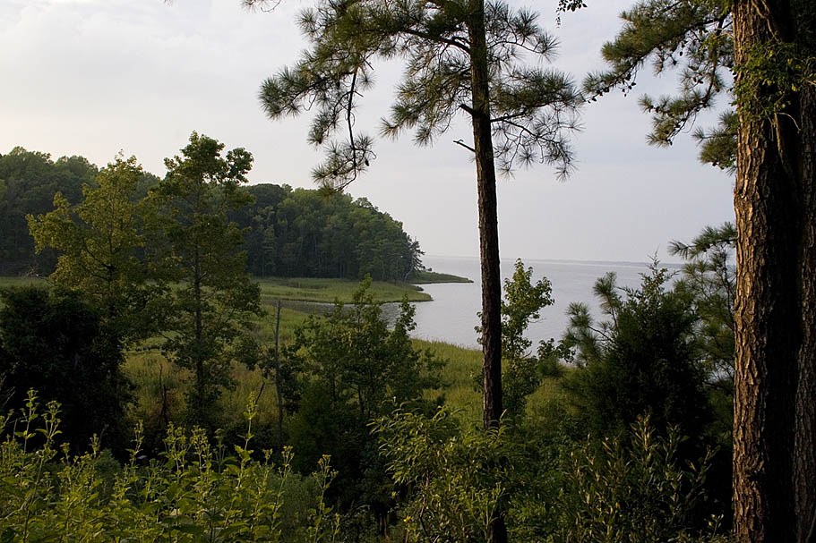
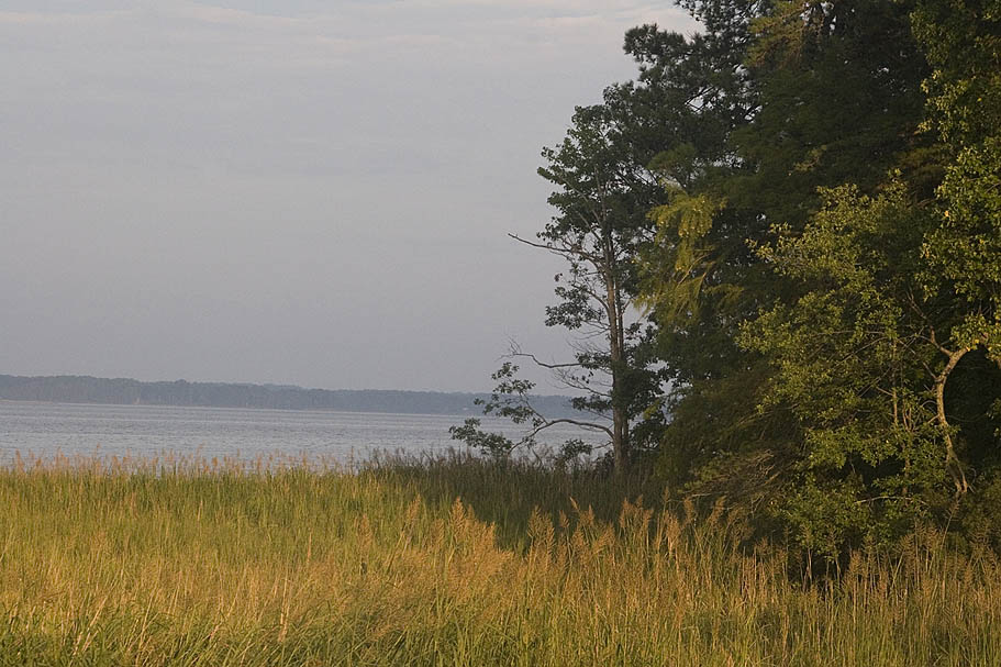
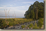
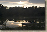
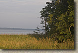
  York River State Park is located about 10 miles north of Williamsburg along the York River coastal estuary. The park has the most hilly terrain of all the trails I rode in the area. It is not quite as technical as Freedom Park, but it makes up for it in the aerobic workout you get on the trails. While there are over 25 miles of trails in the park, only a portion of them allow bikes. Most of the shared use trails are the fireroads. But don't let that ruffle your feathers as bikes have exclusive access to eight miles of some pretty sweet singletrack. There is a small fee to park in the park. Check the Virginia State Park's website for the latest rates. York River State Park is located about 10 miles north of Williamsburg along the York River coastal estuary. The park has the most hilly terrain of all the trails I rode in the area. It is not quite as technical as Freedom Park, but it makes up for it in the aerobic workout you get on the trails. While there are over 25 miles of trails in the park, only a portion of them allow bikes. Most of the shared use trails are the fireroads. But don't let that ruffle your feathers as bikes have exclusive access to eight miles of some pretty sweet singletrack. There is a small fee to park in the park. Check the Virginia State Park's website for the latest rates.
|
| |
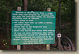
| Directions: From I-64, take the Croaker Exit 231B. Go north on Route 607 (Croaker Rd.) for one mile, then right on Route 606 (Riverview Rd.) about one and a half miles to the park entrance. Take a left turn into the park. |
| |
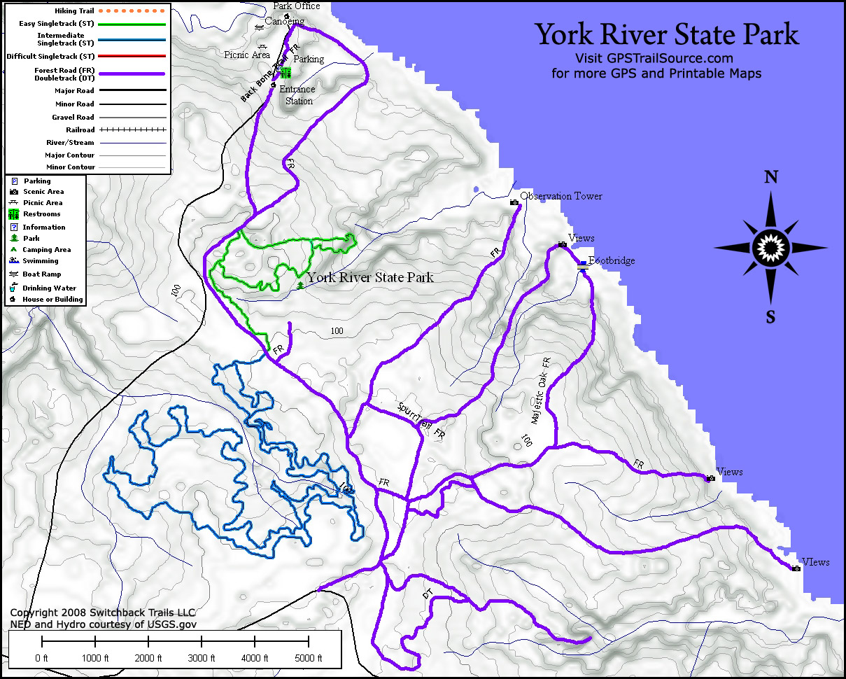
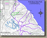  Map: Here is a map of York River State Park courtesy of GPSTrailSource.com. Here is a flyer and map that is provided by the park. Map: Here is a map of York River State Park courtesy of GPSTrailSource.com. Here is a flyer and map that is provided by the park.
Data Files: GPX, GDB, KML, TOPO |
| |
Ride Report:
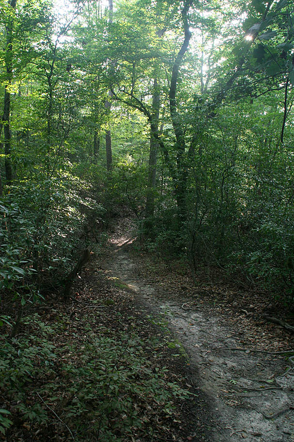
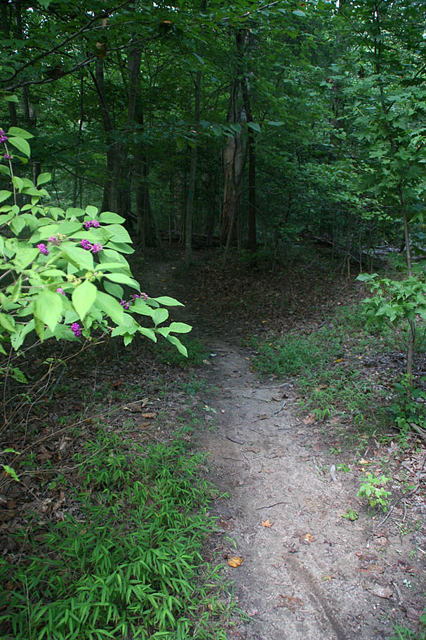
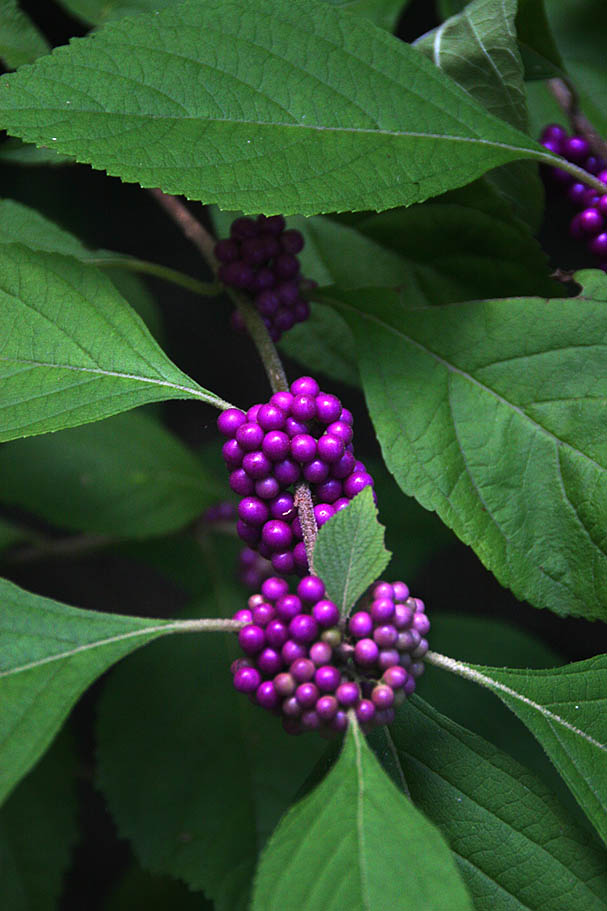
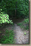
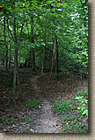
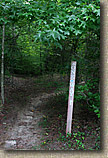
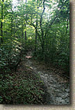
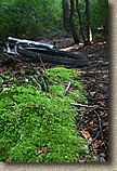
  The parking lot is located near the northern end of the park. From the parking lot you will want to make your way to the south end of the park along the multiuse fire/forest roads. The first singletrack you will come across will be on your left. This is the Laurel Glen Trail. It is more of a 2-mile beginner to intermediate mountain bike only trail. It is the the green loop trail on the map above. If you do the loop counter-closewise you will soon come the to the Black Bear Run Trail going off to the right (south). This trail is about half a mile long and connects to the Marl Ravine trail. The parking lot is located near the northern end of the park. From the parking lot you will want to make your way to the south end of the park along the multiuse fire/forest roads. The first singletrack you will come across will be on your left. This is the Laurel Glen Trail. It is more of a 2-mile beginner to intermediate mountain bike only trail. It is the the green loop trail on the map above. If you do the loop counter-closewise you will soon come the to the Black Bear Run Trail going off to the right (south). This trail is about half a mile long and connects to the Marl Ravine trail. |
| |
|
| |
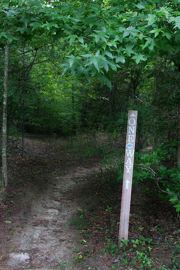
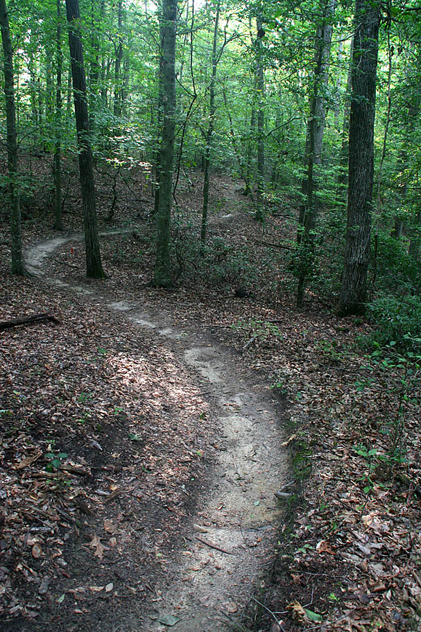
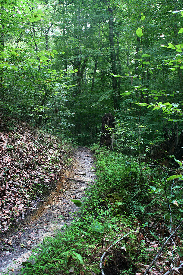
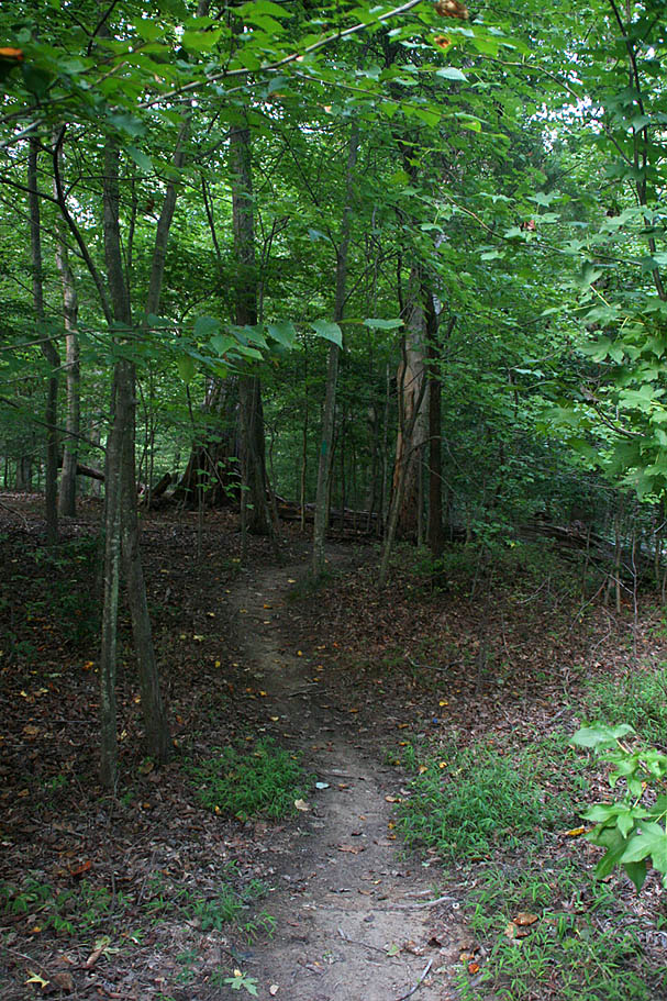
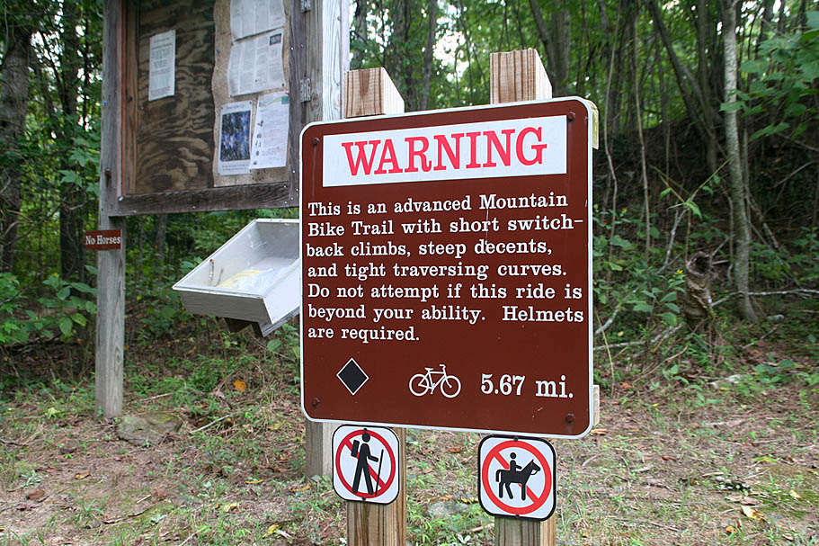
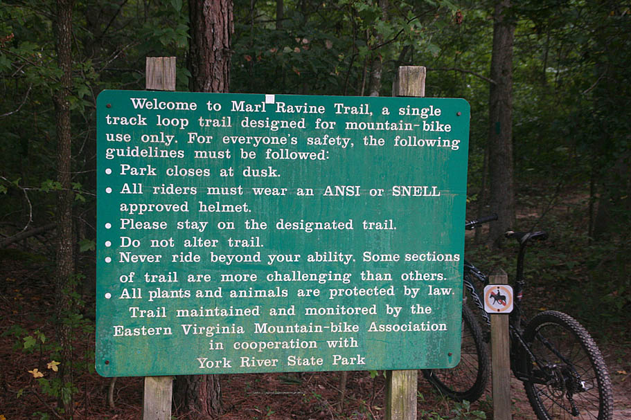
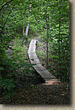
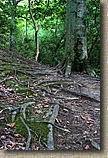
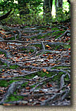
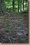
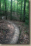
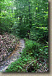
  The Marl Ravine trail is the blue singletrack loop on the map above. It is a the six-mile long one-way singletrack which is exclusively bike only. This trail is considered for advanced riders. Like Harwood Mills, this advanced rating stems more from the difficulty to ride really fast on this trail that from sheer technical requirements. The Marl Ravine trail is the blue singletrack loop on the map above. It is a the six-mile long one-way singletrack which is exclusively bike only. This trail is considered for advanced riders. Like Harwood Mills, this advanced rating stems more from the difficulty to ride really fast on this trail that from sheer technical requirements.
|
| |
     |
| |
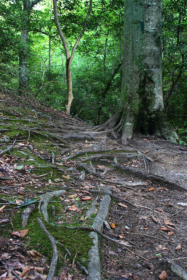
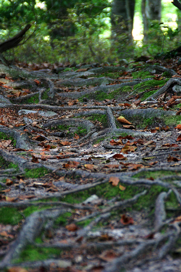
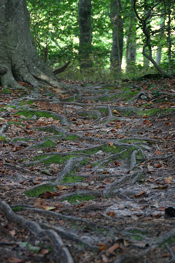
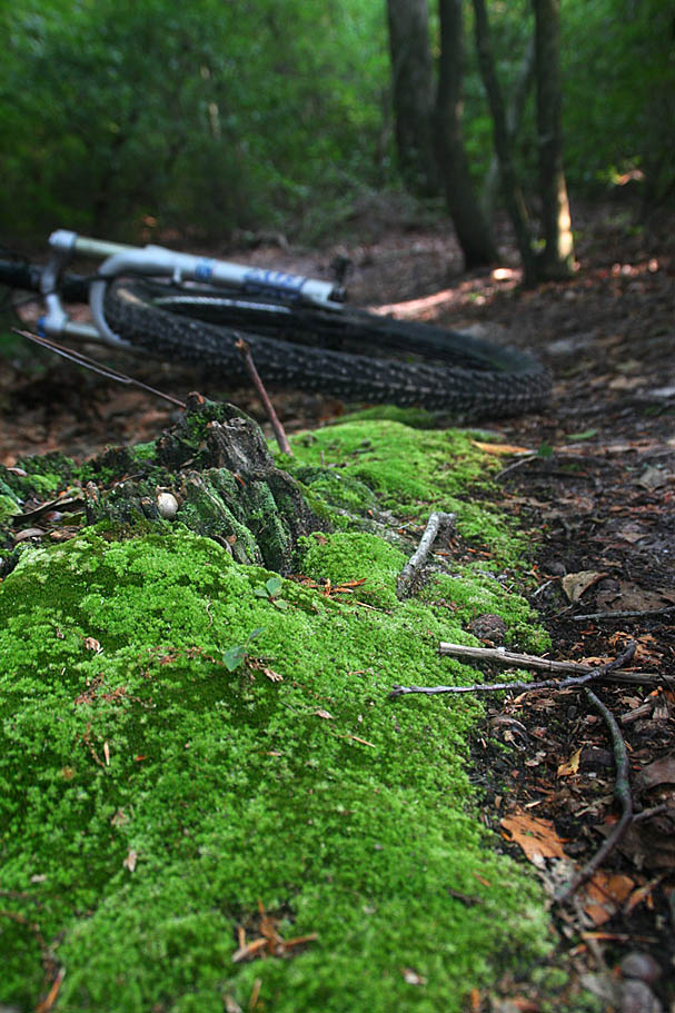
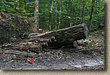
| With that said there are plenty of curves and roots to keep you paying attention. While most of the climbs here are short some of them get a little steep. There are couple of spots in the Marl Ravine loop that will allow you to cut the loop short, but with all the fun there is to be had on this loop, it will probably not cross your mind to bail out. |
| |
      |
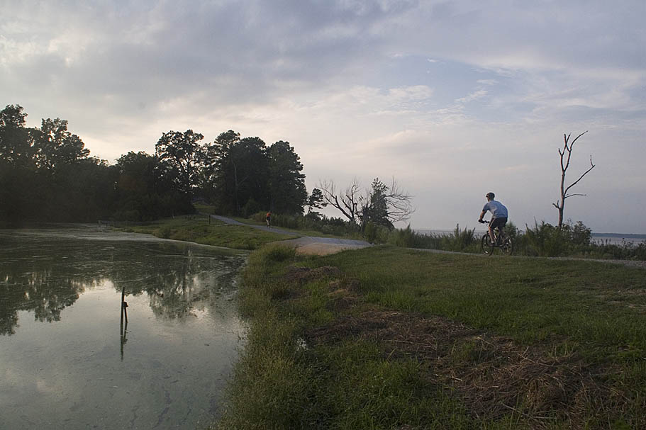
| The Marl Ravine Trail is a wonderful singletrack that, like Freedom Park, showcases the great things the Eastern Virginia Mountainbike Association is doing in the area. So for a total ride out here you are going to get in around 10 miles of trails if you do all of the singletrack and the connecting forest roads. You can certainly rack some additional mileage if you explore all of the forest roads in the park. This will also net you the most climbing as well. Either way you look at it, this place is worth a bit of driving to get to in my book. |