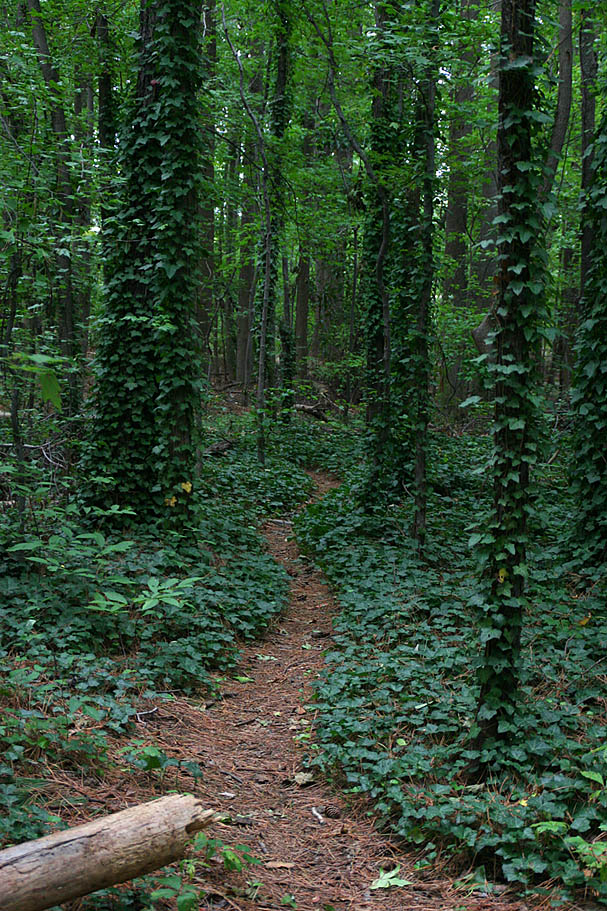
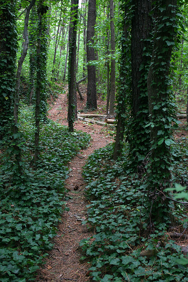
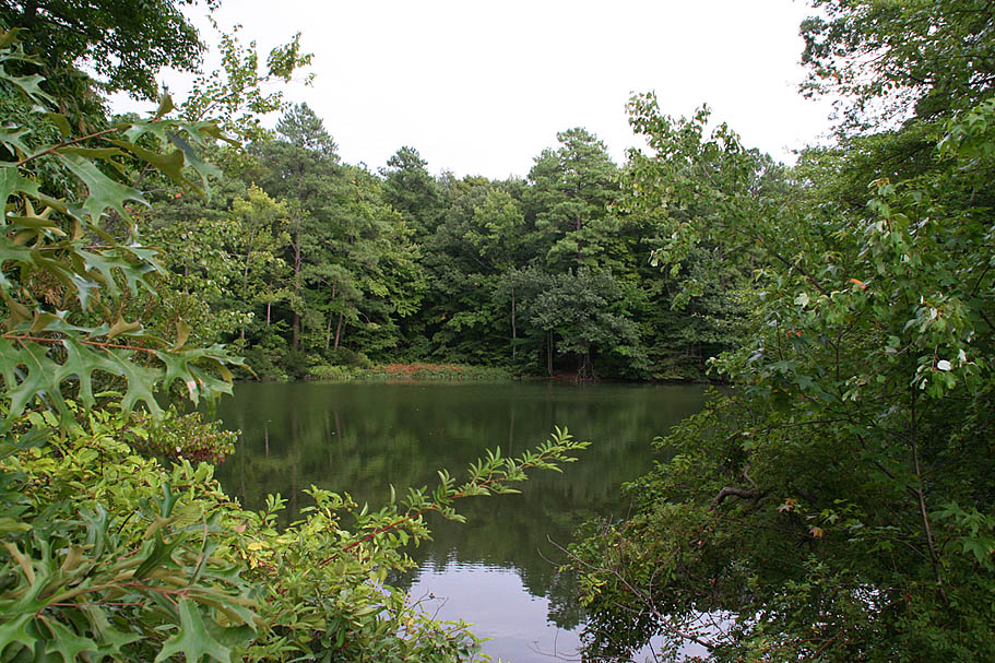
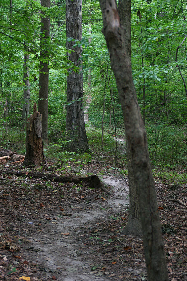
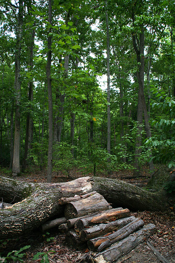
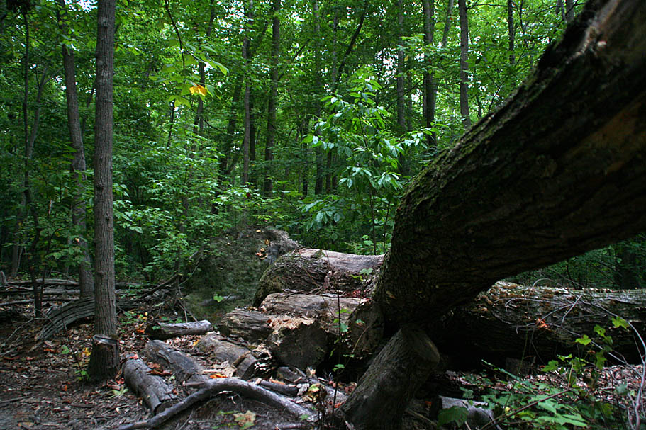
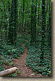
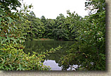
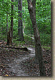
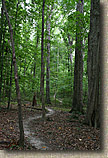
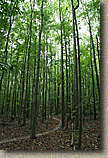
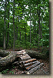
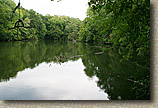
| Lake Maury, also known as "Gatewood" is located smack dab in the middle of Newport News and is not what you would expect an urban trail system to be like. It features about 10 miles of of mostly twisting flowing singletrack that loosely works it way around the far northern finger of Lake Maury. The terrain is pretty much flat but there is just enough undulations to allow you to lay off the pedals here and there. There are also a few log piles and a skinny or two to add some challenge to an otherwise buff singletrack playground. I found this to be quite a fun trail system that had a big escape factor as it seemed you just disappeared from the city around you. |
| |
Directions:
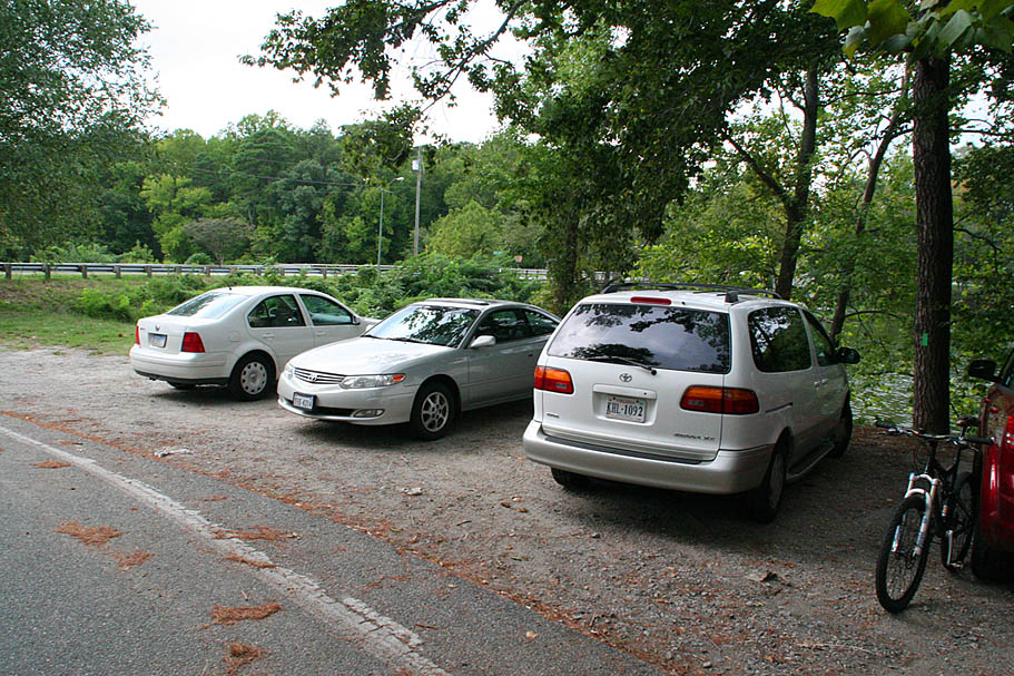
From Interstate 64 in the Newport News area, Take exit 258 onto US-17 South. Go 2.8 miles to US60/Warwick Blvd and turn left. In about 1/2 a mile you will pass by the trailhead, but it is on the other side of the highway and you can't make a a left here. So travel .2 miles furhter and turn left onto Fontaine Rd. Travel .2 miles and turn left at Gatewood Rd and travel back to back .3 miles back to the corner of Warwick Blvd and Gatewood where the trailhead is located. |
| |
Maps:
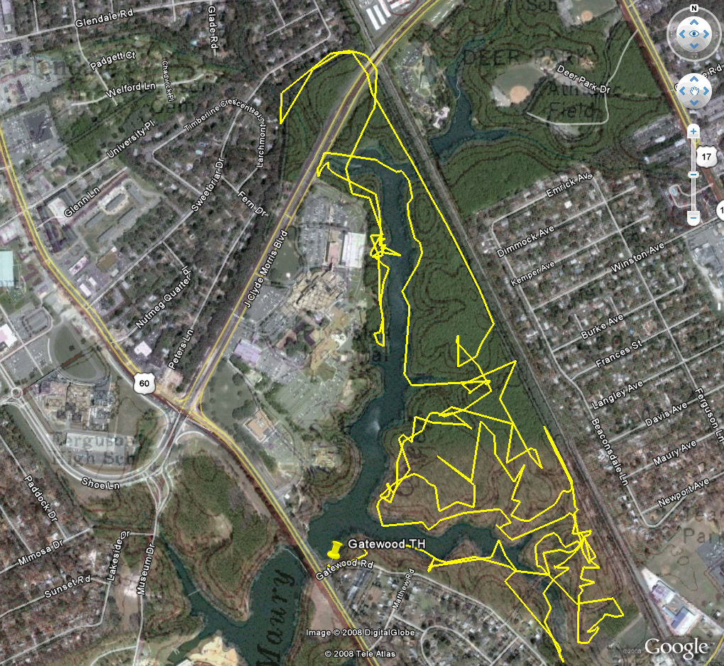
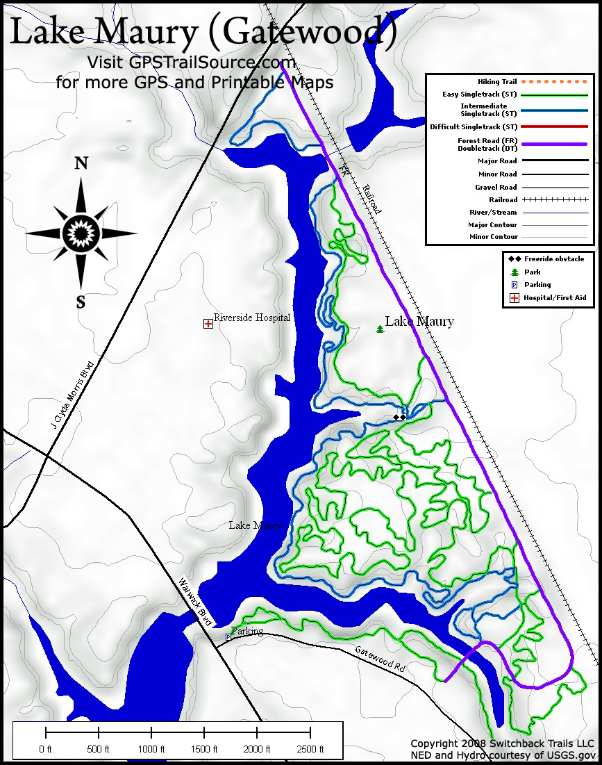
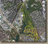 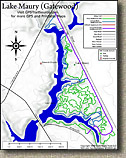 The Map to the left is a mashup of my GPS track, an aerial photo and topo. To the left a topo map provided courtesy of GPSTrailsource.com. The Map to the left is a mashup of my GPS track, an aerial photo and topo. To the left a topo map provided courtesy of GPSTrailsource.com.
Data Files: GPX, GDB, KML, TOPO
|
| |
Ride Report:
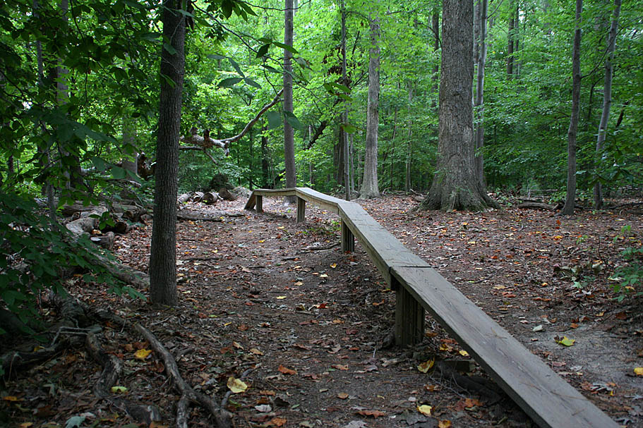
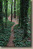
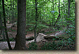
  From the parking lot you are going to pick up the lakeside singletrack that goes to the east. You will soon see the trail split into a high trail and a low trail. This is a small playground that includes a long skinny that can be quite tricky. Beyond this the spurs merge back into a single trail. You will soon come out onto a forest road. A singletrack continues on on the other side but it dead-ends after a while. From the parking lot you are going to pick up the lakeside singletrack that goes to the east. You will soon see the trail split into a high trail and a low trail. This is a small playground that includes a long skinny that can be quite tricky. Beyond this the spurs merge back into a single trail. You will soon come out onto a forest road. A singletrack continues on on the other side but it dead-ends after a while. |
| |
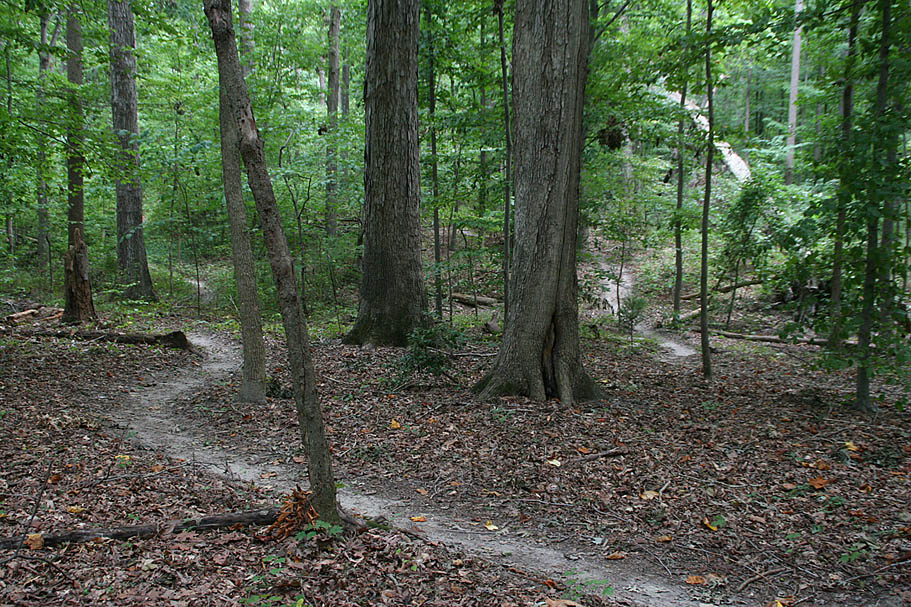
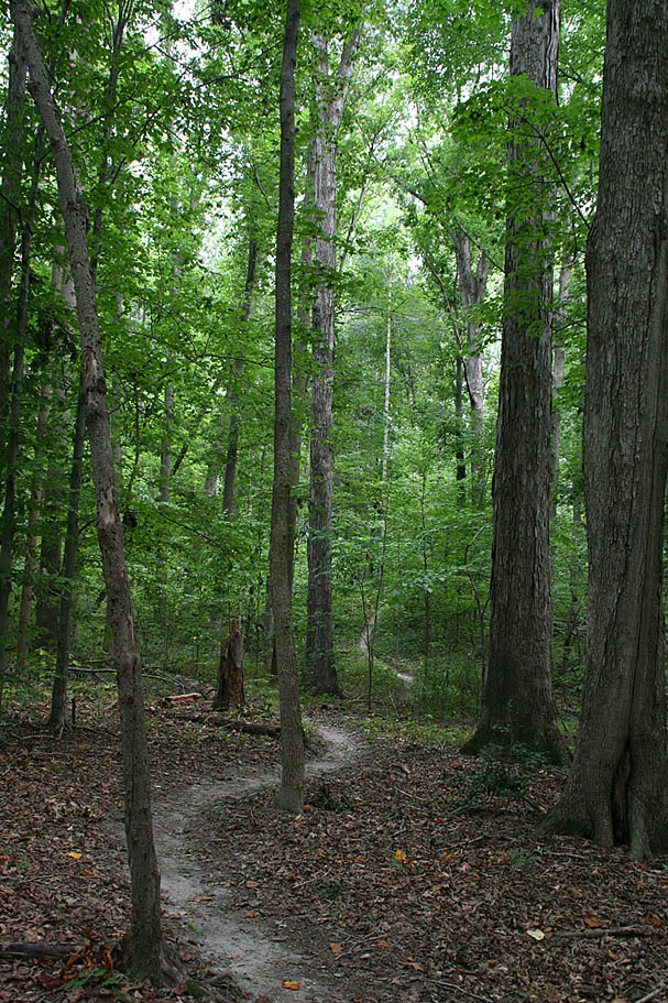
  Follow the forest road to the other side of the lake. You will immediately see trails going off to the left. These led to the trails that goes up the east side of the lake. This double track continues on and then bends to parallel a set of railroad tracks that runs roughly north-side making the eastern boundary of this riding area. There is a network of trails off to the right of this double track so before you venture too far up the eastern side of the lake, exlore this area at the south end. Follow the forest road to the other side of the lake. You will immediately see trails going off to the left. These led to the trails that goes up the east side of the lake. This double track continues on and then bends to parallel a set of railroad tracks that runs roughly north-side making the eastern boundary of this riding area. There is a network of trails off to the right of this double track so before you venture too far up the eastern side of the lake, exlore this area at the south end.
|
| |
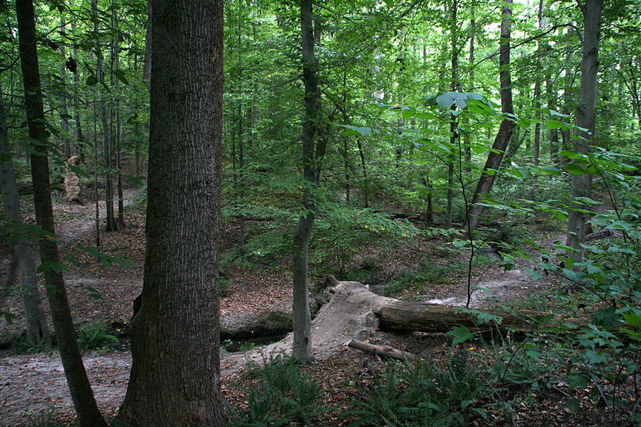
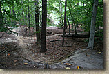
 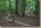 After exploring the southern end of the trails, start heading up the eastern side of the lake. The trails fold back on themselves often and use a good portion of the area between the forest road by railroad tracks and the lake shore. You may find yourself popping out onto the forest road. In most cases there is another trail nearby heading back into the woods. If you ride more than 50 yards or so on the forest road without seeing a trail, go back onto the trail you were on an look for a fork you missed. Just keep roughly moving north and all will be good. It is easy to not know where you are at but virtually impossible to get lost. After exploring the southern end of the trails, start heading up the eastern side of the lake. The trails fold back on themselves often and use a good portion of the area between the forest road by railroad tracks and the lake shore. You may find yourself popping out onto the forest road. In most cases there is another trail nearby heading back into the woods. If you ride more than 50 yards or so on the forest road without seeing a trail, go back onto the trail you were on an look for a fork you missed. Just keep roughly moving north and all will be good. It is easy to not know where you are at but virtually impossible to get lost.
|
| |
|
| |
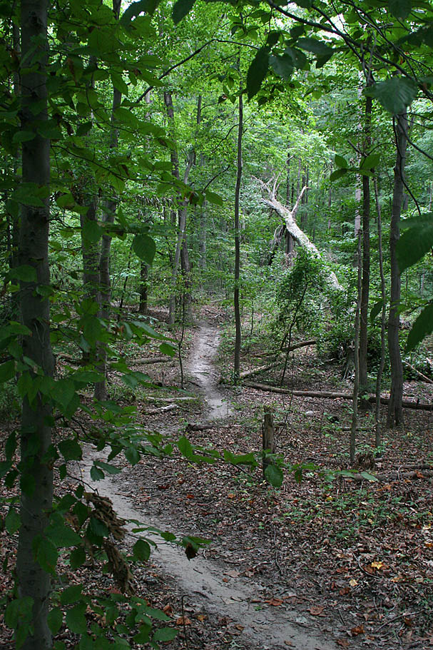
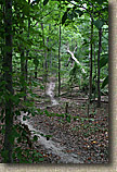
 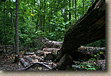 There are some sections were you seem to just pedal on forever through the woods in a continual state of turning. Out of the miles of singletrack out here, you can measure the straight sections of trail in feet. There are also a few built up trail features that are fun, and one stream jump that is fairly large and well blended into the enviroment so as not to stand out. There are some sections were you seem to just pedal on forever through the woods in a continual state of turning. Out of the miles of singletrack out here, you can measure the straight sections of trail in feet. There are also a few built up trail features that are fun, and one stream jump that is fairly large and well blended into the enviroment so as not to stand out.
|
| |
  You will eventually work your way right up to culvert next to J Clyde Morris Blvd above. There is a trail that cuts over to the other side of the lake. On the other side the trail forks. To the right the trail almost immediately pops out beside the road. To the left you can follow a trail along the western side of the lake towards Riverside Medical center. This trail is more rooty and the other trails. It will soon dead-end by the hospital where you will need to backtrack to the other side where you came from. Now you get to work you way back around to the parking lot enjoying all these trails in the other direction. You will eventually work your way right up to culvert next to J Clyde Morris Blvd above. There is a trail that cuts over to the other side of the lake. On the other side the trail forks. To the right the trail almost immediately pops out beside the road. To the left you can follow a trail along the western side of the lake towards Riverside Medical center. This trail is more rooty and the other trails. It will soon dead-end by the hospital where you will need to backtrack to the other side where you came from. Now you get to work you way back around to the parking lot enjoying all these trails in the other direction.
|