
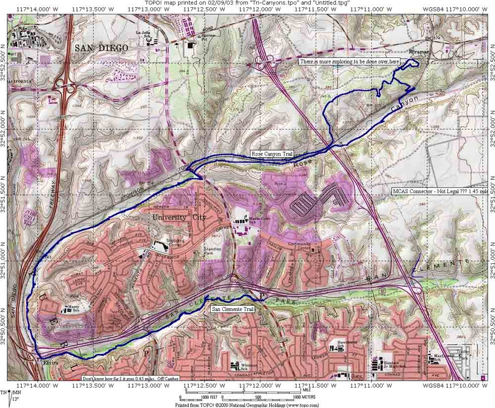
San Clemente and Rose Canyons
San Clemente and Rose Canyons are a couple of open space preserves located in the Claremont Mesa area of San Diego. The route depicted here is 16 miles, but you can squeeze out some more miles once you get out and see the area. A beginner will find these trails to be somewhat challenging while an intermediate rider will find the trail system to be a lot of non-challenging fun.
Directions: From the I-5 exit onto HWY 52 east and get off on the first exit (Clairmont Mesa Blvd/Regents Rd). Immediately turn into the parking lot. Park and get ready to ride.
 Here
is the map and elevation profile for this ride. Download the TOPO! file here.
Here
is the map and elevation profile for this ride. Download the TOPO! file here.
![]()
Hazards: Most of the trails here are beginner to low intermediate in nature. Please be aware there is lots of Poison Oak in the shaded areas. While this is not much of a problem on the primary doubletracks and the heavily used single tracks, if you get onto the less used singletracks you will find that the poison oak often infringes in the trails "air-space". I developed as sensitivity to the stuff back in 2003, so I spend less time here than I used to.
Ride Notes:
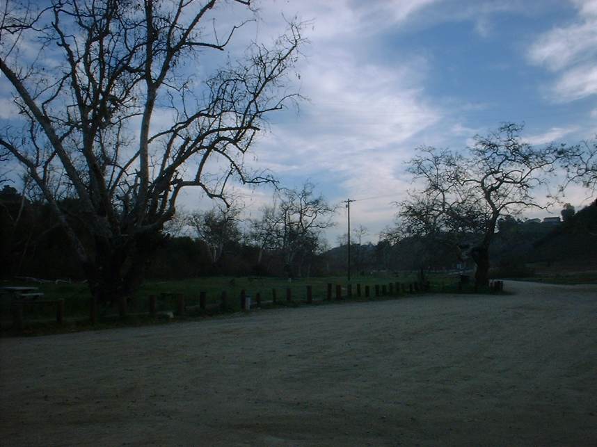
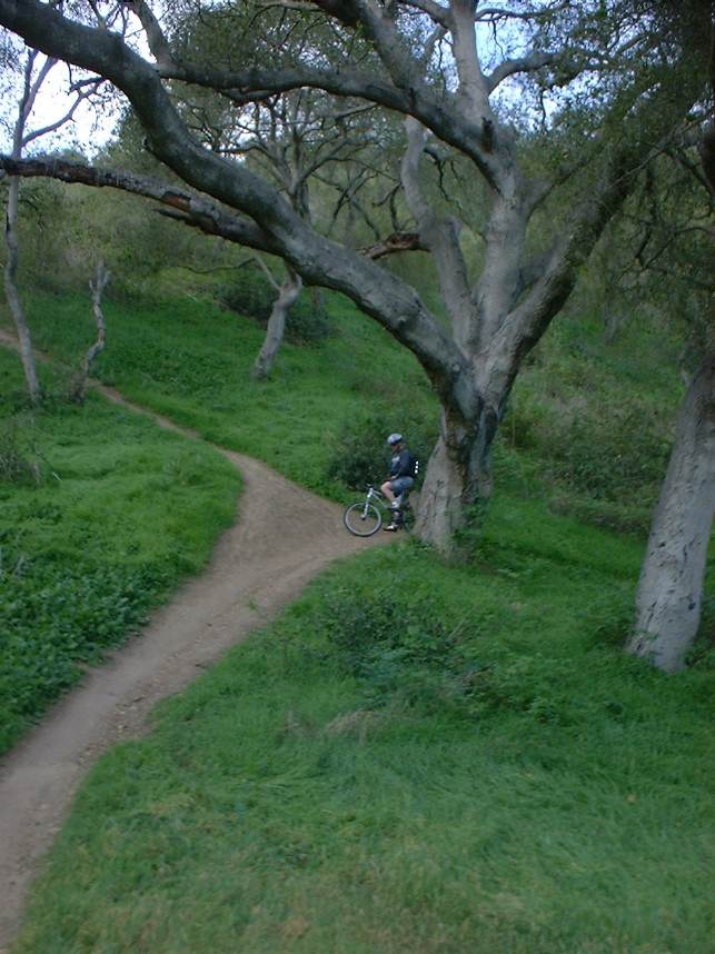
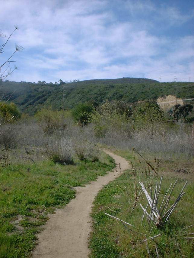
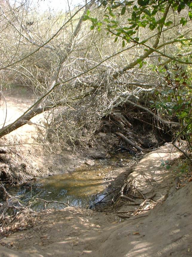
 From
the parking lot cross the stream bed and pick up the trail on the south side of
the stream. Head west which is also slightly down hill. You
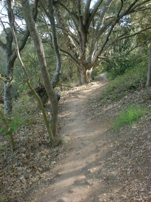
will cross a streambed a couple of times which may have some water in it
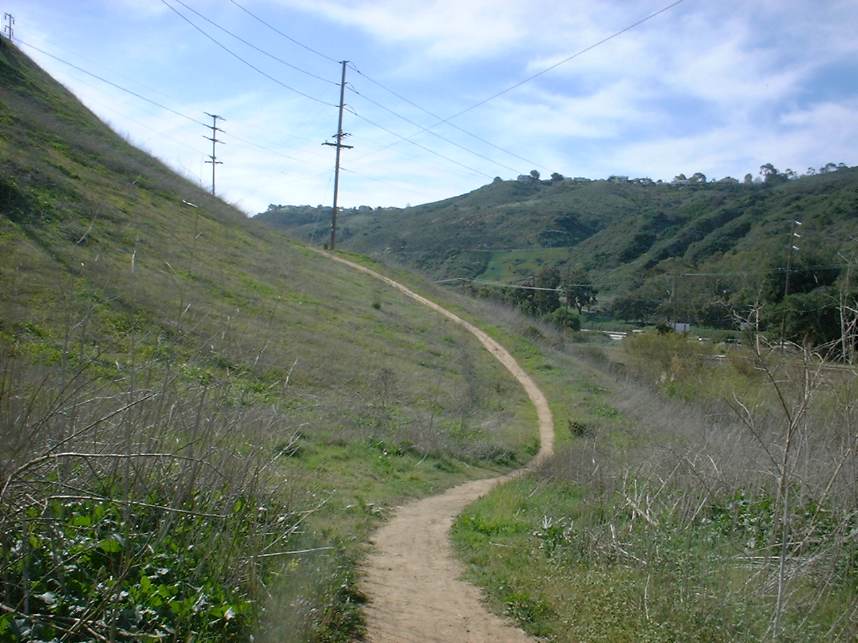
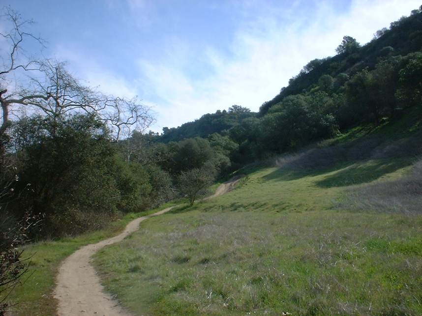
according to what time of year it is. There are plenty of turns in
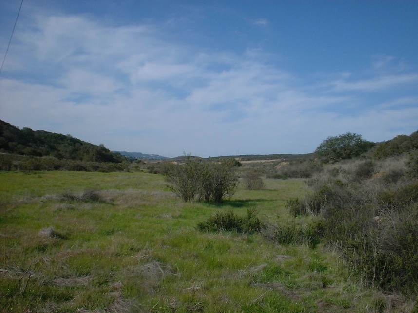
the trail with some rises here and there. The trail will open up from
riding among trees into a narrow meadow which the trail follows along the edge.
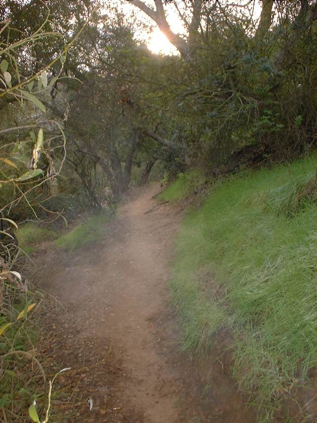
Throughout this ride there are many offshoots from the trail and many of them
simply loop back to the main trail in a short distance.
From
the parking lot cross the stream bed and pick up the trail on the south side of
the stream. Head west which is also slightly down hill. You
will cross a streambed a couple of times which may have some water in it
according to what time of year it is. There are plenty of turns in
the trail with some rises here and there. The trail will open up from
riding among trees into a narrow meadow which the trail follows along the edge.
Throughout this ride there are many offshoots from the trail and many of them
simply loop back to the main trail in a short distance.
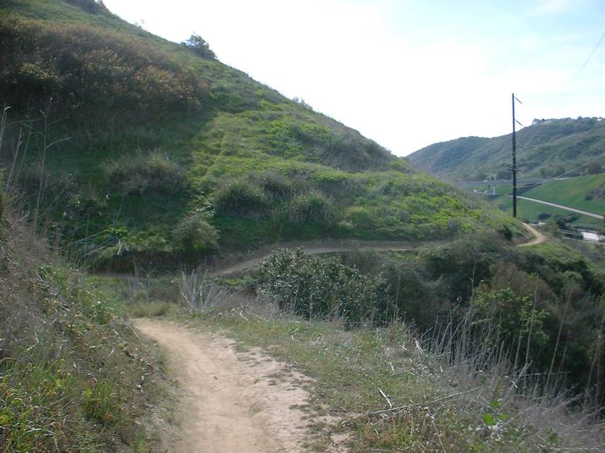
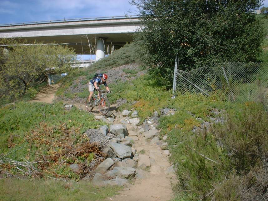
 After
about 1.3 miles you will go under a small bridge. The trail continues
along the edge of the meadow and a parking lot. Continue on through
the meadow
and parking lot. The trail continues meandering between trees and meadows
until at mile 2.3 the trail splits. Go to the right and follow the
trail up and over into a drainage culvert. (This will be a hike-a-bike for
most). Ride north in the culvert for a hundred yards or so and then exit
it to the right (This is the first place you can exit the culvert). Once out of
the culvert the trail splits again. Straight continues back towards the
way you came on the North side of the HWY52. Take the trail left that
heads north. You will now have to climb the only significant rise
of the entire ride. It is very short but steep enough to get and
intermediate ride working and challenge a beginner.
After
about 1.3 miles you will go under a small bridge. The trail continues
along the edge of the meadow and a parking lot. Continue on through
the meadow
and parking lot. The trail continues meandering between trees and meadows
until at mile 2.3 the trail splits. Go to the right and follow the
trail up and over into a drainage culvert. (This will be a hike-a-bike for
most). Ride north in the culvert for a hundred yards or so and then exit
it to the right (This is the first place you can exit the culvert). Once out of
the culvert the trail splits again. Straight continues back towards the
way you came on the North side of the HWY52. Take the trail left that
heads north. You will now have to climb the only significant rise
of the entire ride. It is very short but steep enough to get and
intermediate ride working and challenge a beginner.
 The
trail continues as singletrack for a while and eventually will open up into
double track. The wide open meadow doubletrack scene continues until
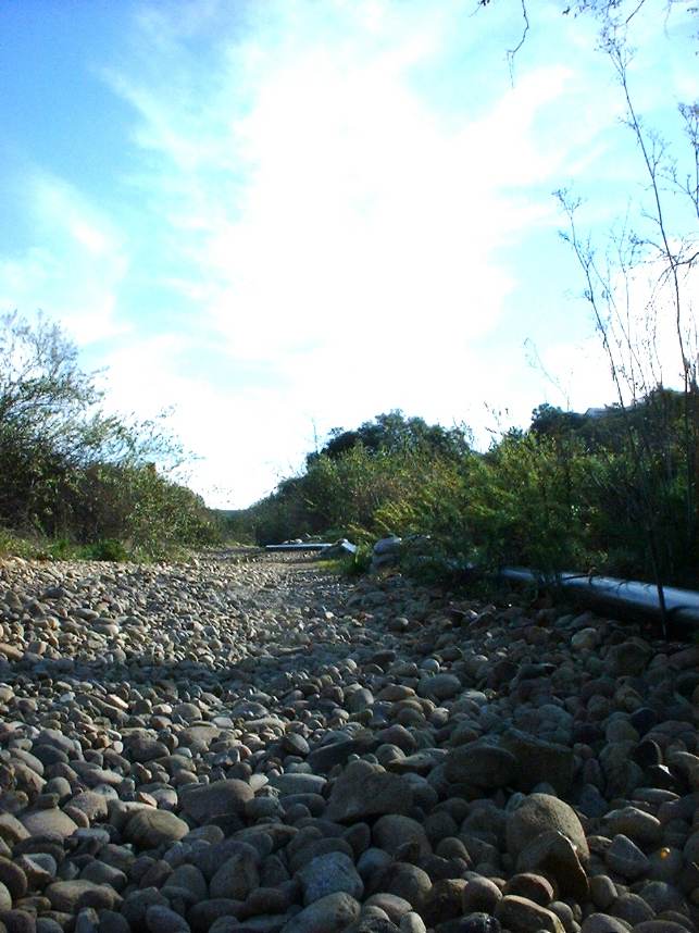
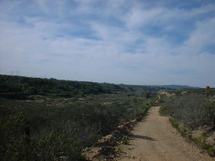
at mile 5 you must cross a road (Genesse Ave) and pick up the trail on the other
side. About 1/2 to 3/4ths of a mile from this point the trail moves into
an old streambed. If you have not had the chance to ride on "baby
heads" before you will be in for a treat. (Baby heads are smooth
round rocks about the size of a well... baby's head). You will have
about 3/4ths to 1 mile of baby heads to deal with of varying
degrees. Speed is your friend here, the faster you go the smoother
the ride will be as you will "float" across the tops of them vice
digging in between the rocks.
The
trail continues as singletrack for a while and eventually will open up into
double track. The wide open meadow doubletrack scene continues until
at mile 5 you must cross a road (Genesse Ave) and pick up the trail on the other
side. About 1/2 to 3/4ths of a mile from this point the trail moves into
an old streambed. If you have not had the chance to ride on "baby
heads" before you will be in for a treat. (Baby heads are smooth
round rocks about the size of a well... baby's head). You will have
about 3/4ths to 1 mile of baby heads to deal with of varying
degrees. Speed is your friend here, the faster you go the smoother
the ride will be as you will "float" across the tops of them vice
digging in between the rocks.
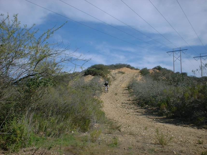
 Just
after the baby heads you will pass under the I-805 freeway. After passing
under the bridge, take note of
the trail on the other side of the railroad tracks that comes down a steep
hill. You will be coming down that trail later. Follow along the
double track on the east side the open area. At mile 7.1 there is a trail
that turns off to the left, cuts across the field and goes over to the rail road tracks. Take
this trail up to the tracks. Once you get up to the tracks.
You will see a low spot on the hill side on the other side of the
tracks. After doing the common sense thing by watching out for
trains cross the tracks and pick up a narrow singletrack at the low spot.
You will have to navigate and old bob-wire fence. You will be picking up
trail in the middle of a turn. Go to the left.
Just
after the baby heads you will pass under the I-805 freeway. After passing
under the bridge, take note of
the trail on the other side of the railroad tracks that comes down a steep
hill. You will be coming down that trail later. Follow along the
double track on the east side the open area. At mile 7.1 there is a trail
that turns off to the left, cuts across the field and goes over to the rail road tracks. Take
this trail up to the tracks. Once you get up to the tracks.
You will see a low spot on the hill side on the other side of the
tracks. After doing the common sense thing by watching out for
trains cross the tracks and pick up a narrow singletrack at the low spot.
You will have to navigate and old bob-wire fence. You will be picking up
trail in the middle of a turn. Go to the left.
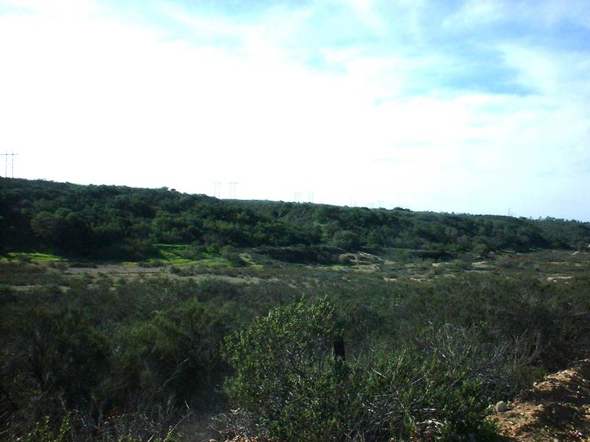
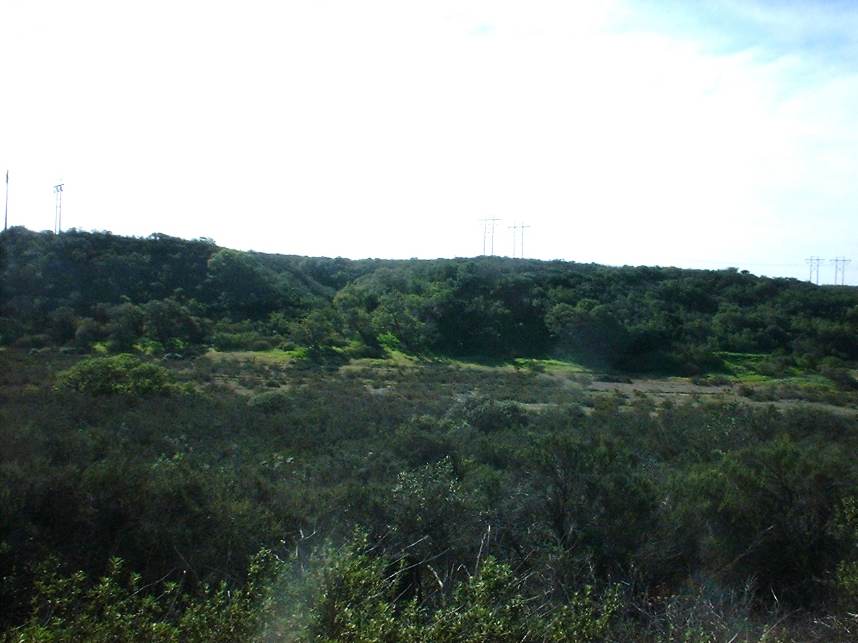 The
entire area north of the railroad tracks is full of nice singletrack that crisscrosses
back and forth . It
is bounded by the I-805 freeway, the railroad tracks, and Miramar Road. As
long don't cross any of those you can't get too lost. Once you are done
playing in this area follow section of doubletrack along the I-805 that follows
a set of power lines back down to the railroad tracks. It will bring
you down along the trail that you took note of early while going under the
bridge.
The
entire area north of the railroad tracks is full of nice singletrack that crisscrosses
back and forth . It
is bounded by the I-805 freeway, the railroad tracks, and Miramar Road. As
long don't cross any of those you can't get too lost. Once you are done
playing in this area follow section of doubletrack along the I-805 that follows
a set of power lines back down to the railroad tracks. It will bring
you down along the trail that you took note of early while going under the
bridge.
 Once
back down by the railroad tracks, do
not cross them just yet, instead follow a trail along the north side of
the railroad tracks. This trail will continue along all the way back to
next bridge (Genesse Ave). Cross the rail road tracks while under the Genesse Ave
overpass (After looking out for trains of course). Get up on the sidewalk
and ride it a couple hundred yards and connect back up with trail on your
right. You are now back on the trail you came in on. Return
the way you came back to your car for a total of 16 miles.
Once
back down by the railroad tracks, do
not cross them just yet, instead follow a trail along the north side of
the railroad tracks. This trail will continue along all the way back to
next bridge (Genesse Ave). Cross the rail road tracks while under the Genesse Ave
overpass (After looking out for trains of course). Get up on the sidewalk
and ride it a couple hundred yards and connect back up with trail on your
right. You are now back on the trail you came in on. Return
the way you came back to your car for a total of 16 miles.
NOTE: There are many off shoot trails that are worth exploring that can add some significant mileage to your ride. Once you are familiar with the area you can connect several areas together in "Semi-Urban Epics".