
Lake Poway
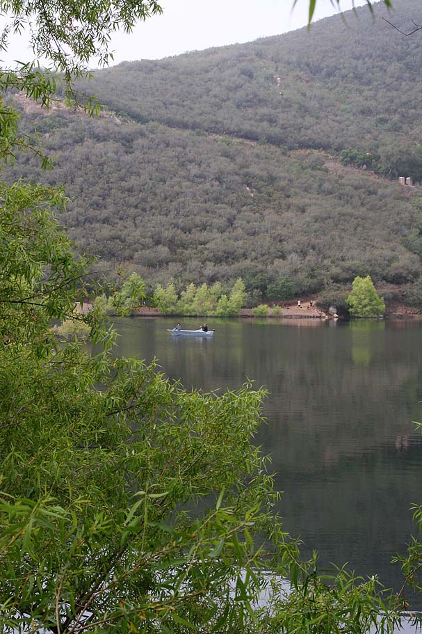
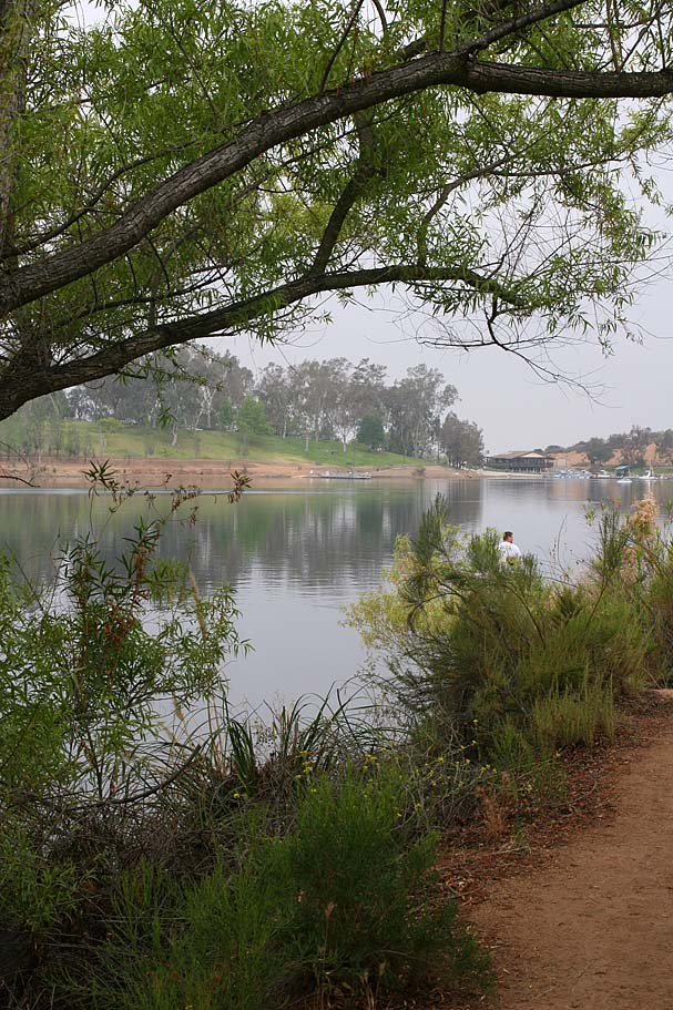
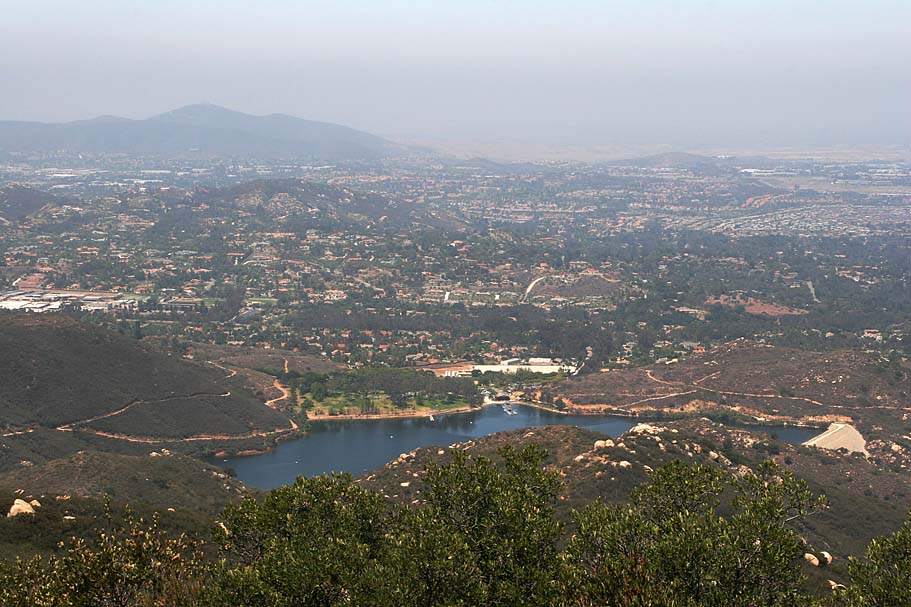
Lake Poway is located in inland San Diego County in the coastal foothills, just four miles east of interstate 15, five miles south of the City of Escondido, and southeast of Rancho Bernardo. It has a small network of trails around and near the lake that are soundly in the beginner/novice category in regards to the technical skills requirement. The "trails" around the lake for the most part of dirt fire roads, but they are by no means flat and would most likely be challenging for a beginner from a cardio perspective. In addition to the fire road around the lake, there are some fisherman paths right near the water that if could offer some technical challenges. This is not someplace you would want to drive much distance to go ride, but if you are a local or are looking for something different in the beginner class to do, you should consider it at least once.
Hazards: There is nothing really beyond the typical Mountain Biking hazards out here. Lake Poway is a popular place so trail user conflict is the biggest thing to be concerned with so please remember to use proper trail etiquette.
Directions: From Interstate
15, exit Rancho Bernardo Road, travel east 4 miles to Lake Poway Road, turn left
and follow park entrance to gate. The address is 14644 Lake
Poway Road, Poway, California 92064.![]()
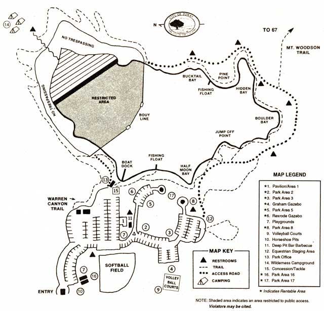
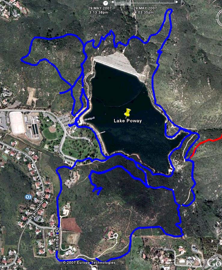
MAPS: Here area couple of maps of Lake Poway. To the left is the map of the lake from the city's website an to the right snapshot from Google Earth. For those of you who use Google Earth, here is the KML file. Also the the City of Poway has create a city-wide trail map. Here is that map as well as the map legend (both in PDF format). These maps will show that Lake Poway can be used a good starting point for longer rides in the area.
NOTES: I nearly included Lake Poway as a footnote in my Mt Woodson area trail review, but since it is so different than that area I decided it needed its own space. I eventually plan to have a series of beginner and kid-oriented trail reviews on the site and Lake Poway will fit nicely into that area.


It is pretty hard to get lost here, but I suggest from the concession stand, pick up the trail and follow it around the lake counter-clockwise. There are several other trails that you can tie into from the Lake Poway trail. The most prominent trails to hook up with from Lake Poway is the Mount Woodson Trail System.
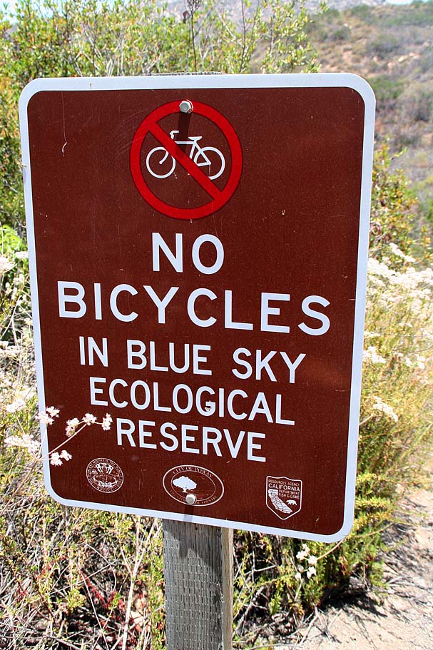
The trail goes all the way around the lake but at the dam end it goes downhill about 100 feet to the bottom of the dam. At the low spot there is another trail/gravel path that continues further down the hill in the Blue Sky Reserve. Bicycles are not allowed in the reserve. Personally I'm a little irritated about this rule considering that the Green Valley Truck trail runs through the reserve. Exactly how much impact can a bicyclist have on a dirt road cause?
Here are some links about the reserve and it's history.
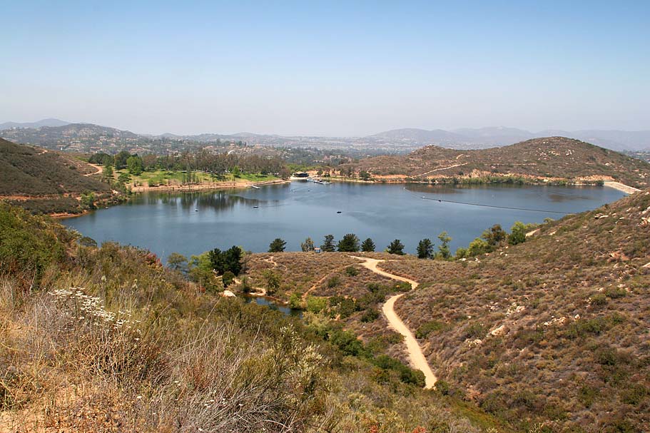
After the turnoff into the reserve the Lake Poway trail turns uphill and switchbacks it's way back up to the lake, where you can go back to the parking lot. If you stuck to the just the Lake Poway trail you would have done 3.2 miles.