
Lake Morena
The Lake Morena and Corral Canyon Off Highway Vehicle (OHV) Area is located about 45 minutes east of San Diego. It offers some nice scenic views of the San Diego backcountry as well as a great workout. It is also the site of the annual Sagebrush Safari downhill and cross-country races. This is an intermediate ride on technical merits, but due to it 20-mile length with a good deal of climbing you should make sure you have the legs for it.
 Here
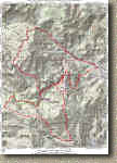
is a PDF map of the route.
Here
is a PDF map of the route.
Here is the elevation profile for the ride. ![]()
Here are the various electronic GPS files for this ride TOPO! KML GDB GPX
Hazards: Watch out for motorcycles, and ATVs, particularly on the weekends. While it was pretty nice the day I rode this it gets really hot out here in the summer.
Directions: From San Diego head east on the I-8 towards El Centro. You will travel through El Cajon, Alpine, and Pine Valley. Exit on the "Buckman Springs" Offramp. Turn right at the bottom of the ramp. Go through one stop sign. Turn Left on Buckman Springs road. Travel about four miles and you will see a small USFS ranger station (Cottonwood). Turn right on the first road past the station (Corral Canyon/Lake Morena). You will see a sign for Lake Morena. Travel on the dirt road for about three miles until you see the bottom of Kernan Trail. Park in the dirt along the left side of the road.
Ride Report:
 I really was not expecting much from this ride as it is OHV area but I was
pleasantly surprised. From the trailhead we pedaled up the payment for
about 1.1 miles. There is a closed gate in the middle of a left-hand
turn. There is a bike around to the left of the gate. Take that and enjoy
climbing on a fire road under a canopy of trees. At 1.6 miles, you will
see the Espinosa single track off to the left where the fire road makes a sharp
right turn. OHVs are not allowed Espinosa so the trail is good and skinny.
The climbing is gradual for a while with a few rocks here and there to
avoid. At about mile 2.3 both the grade and technical difficulty increases
with plenty of medium sized loose rocks that are very
I really was not expecting much from this ride as it is OHV area but I was
pleasantly surprised. From the trailhead we pedaled up the payment for
about 1.1 miles. There is a closed gate in the middle of a left-hand
turn. There is a bike around to the left of the gate. Take that and enjoy
climbing on a fire road under a canopy of trees. At 1.6 miles, you will
see the Espinosa single track off to the left where the fire road makes a sharp
right turn. OHVs are not allowed Espinosa so the trail is good and skinny.
The climbing is gradual for a while with a few rocks here and there to
avoid. At about mile 2.3 both the grade and technical difficulty increases
with plenty of medium sized loose rocks that are very 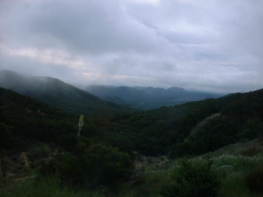
 energy
sapping. After slugging through this for a very long .3 miles you will
come out to a saddle of where Espinosa crosses over the Los Pinos fire
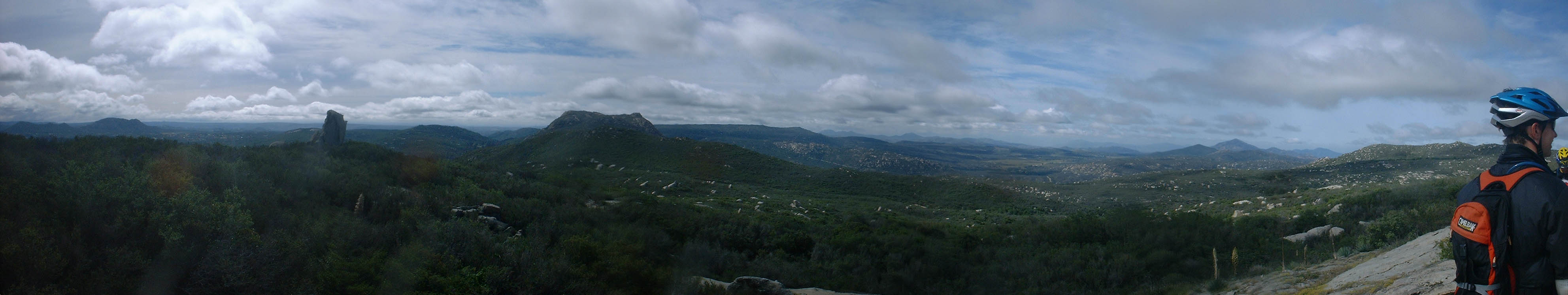
road. This is an excellent place to take in the scenery, regroup, and most
likely catch your breath. (Point A on the map) One of riders in the group
commented that the upper end of Espinosa was the nicest hike in the area.
I could not argue with him :-)
energy
sapping. After slugging through this for a very long .3 miles you will
come out to a saddle of where Espinosa crosses over the Los Pinos fire
road. This is an excellent place to take in the scenery, regroup, and most
likely catch your breath. (Point A on the map) One of riders in the group
commented that the upper end of Espinosa was the nicest hike in the area.
I could not argue with him :-)
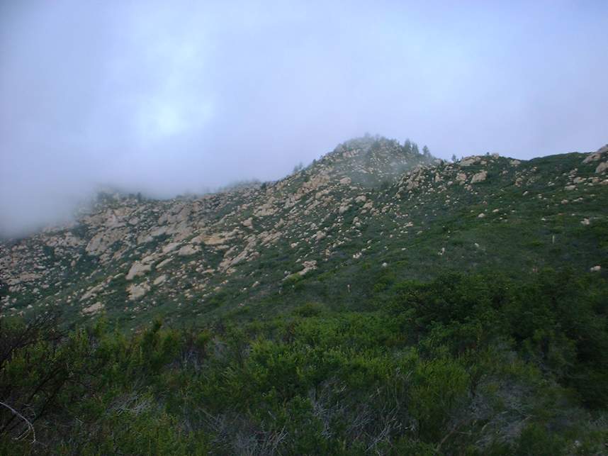
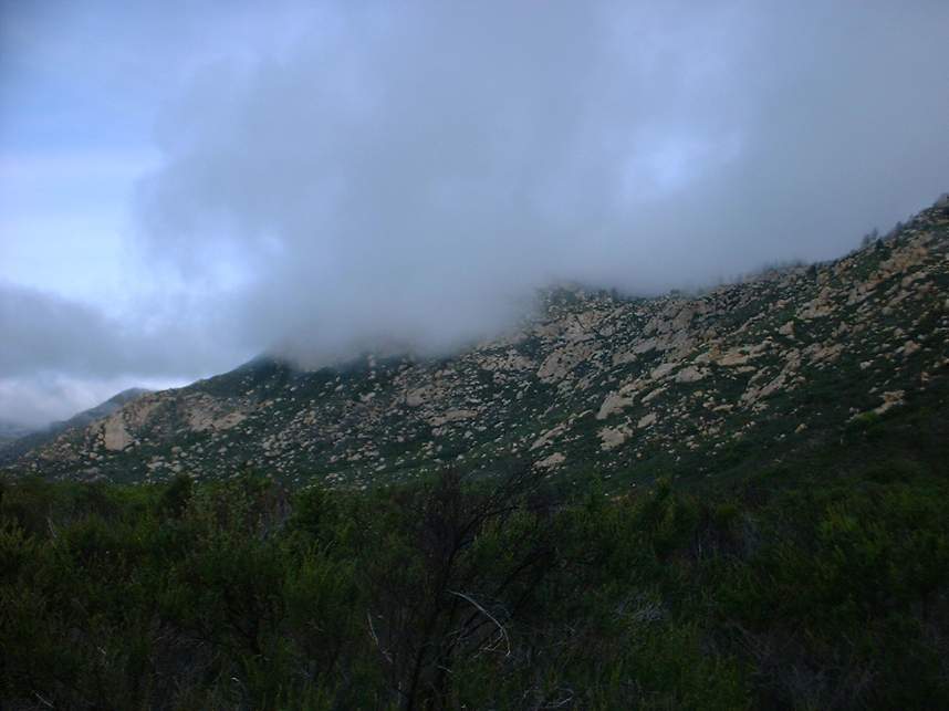
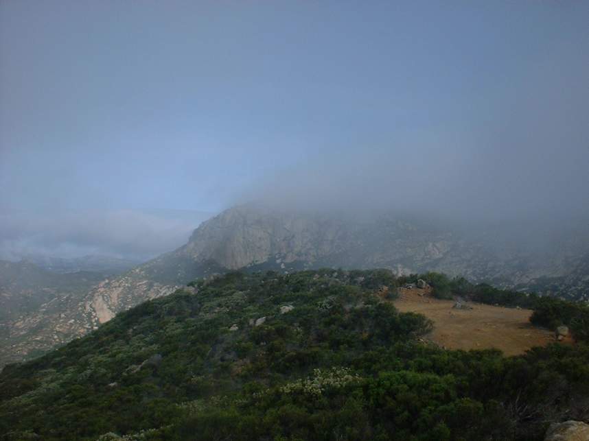
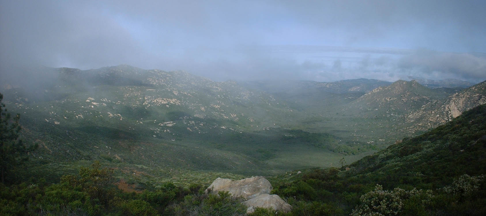
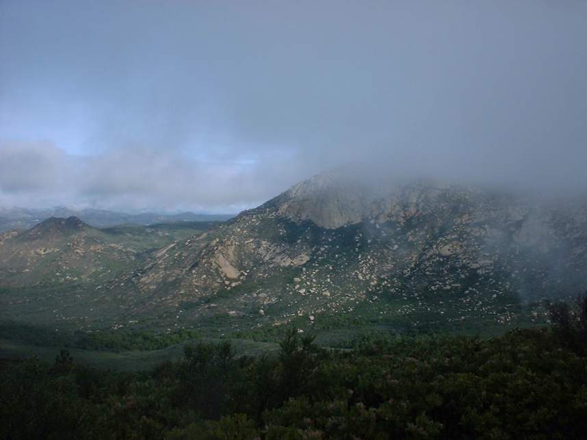
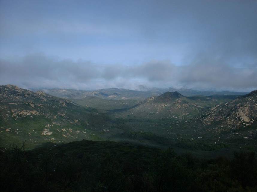
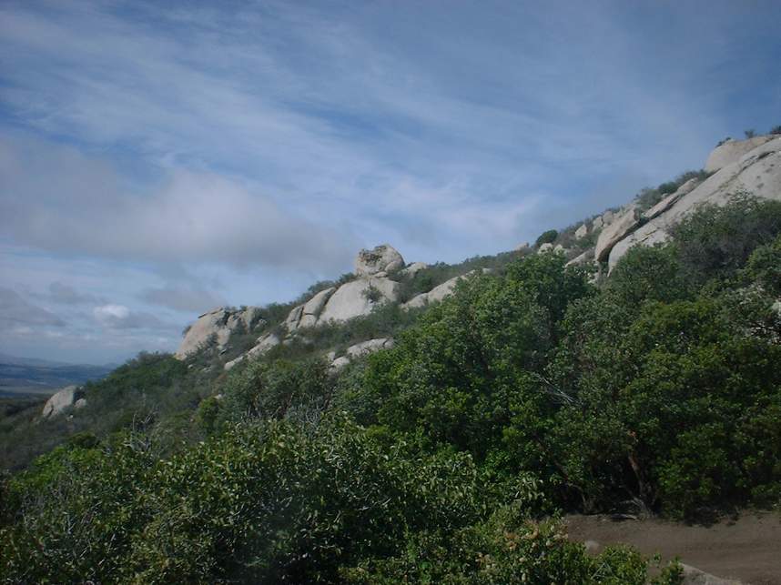
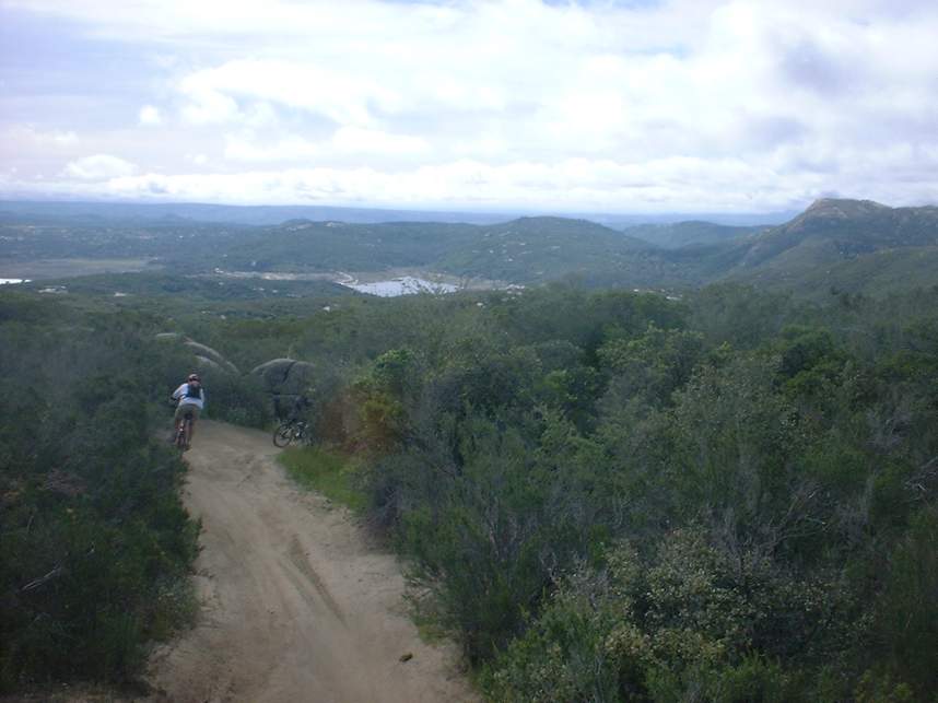
From here you will hang a left on the truck trail and continue upward. The grade is mild compared to what you just completed and quite manageable. At 3.4 miles the main fire road turns left and goes up hill while another truck/ATV trailheads off to the right/straight. If you have not noticed it yet the views of the Hauser and Pine Creek wilderness areas to the east are stunning.
 Take the trail to the right which is the Spur Meadow trail (Point B on the
map). The trail is 3 miles long and has the typical signs of off road
vehicle activity. It appears that most of the motorized traffic from
motorcycles because after the first ½ mile the trail narrows a little with a
very distinct single line. The motorcycles have caused to turns to be
bermed which allowed for some incredibly fast turns that are a blast.
There where plenty of whoop-de-doos to keep you on your toes and off the
saddle. The trail eventually dumps you out a paved road. Remember
this spot because you will come by here later on. Hang a left and climb
one mile up to a large dirt area called Four Corners. (You odometer should be
around 7.6 miles) You will see a kiosk in the southeast corner of the
area. You can check out the trail maps there. Right by the kiosk is the
Wrangler trail that heads downhill.
Take the trail to the right which is the Spur Meadow trail (Point B on the
map). The trail is 3 miles long and has the typical signs of off road
vehicle activity. It appears that most of the motorized traffic from
motorcycles because after the first ½ mile the trail narrows a little with a
very distinct single line. The motorcycles have caused to turns to be
bermed which allowed for some incredibly fast turns that are a blast.
There where plenty of whoop-de-doos to keep you on your toes and off the
saddle. The trail eventually dumps you out a paved road. Remember
this spot because you will come by here later on. Hang a left and climb
one mile up to a large dirt area called Four Corners. (You odometer should be
around 7.6 miles) You will see a kiosk in the southeast corner of the
area. You can check out the trail maps there. Right by the kiosk is the
Wrangler trail that heads downhill.
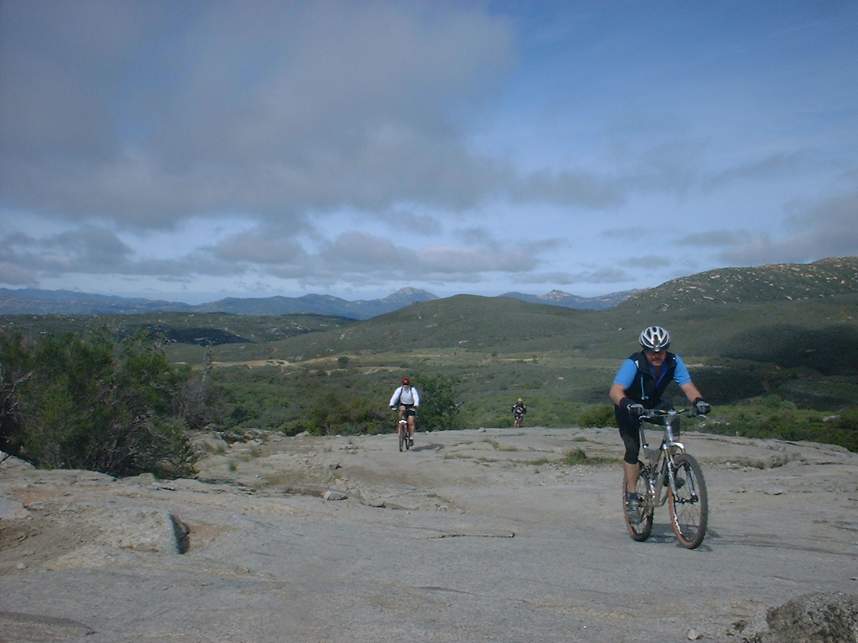
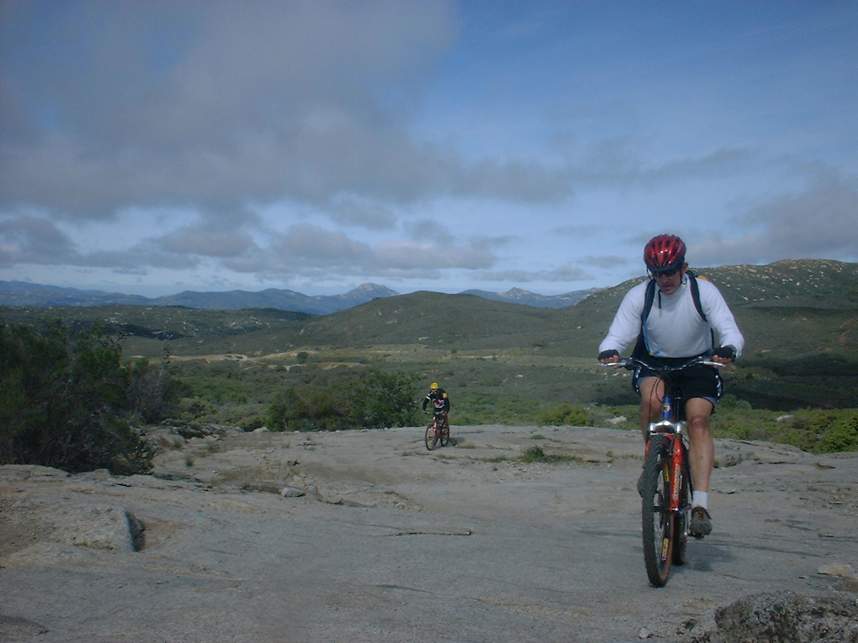
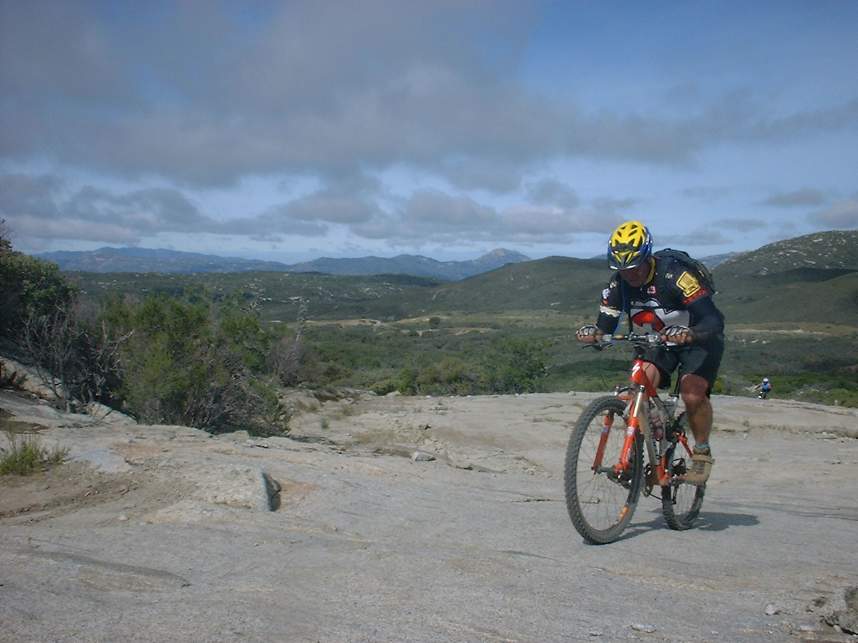
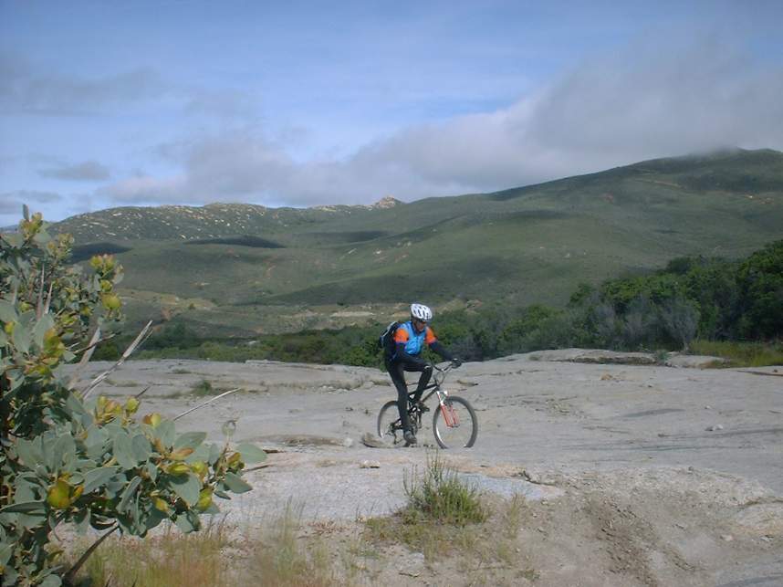
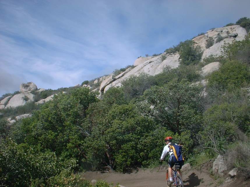
Wrangler is a great trail full of ups and down and lots of bermed turns. There are even several slick rock sections to play on. Wrangler also offers some incredibly picturesque views. It is well worth it to pause from the bombing to take it in. There is one particularly nice spot that I believe is at Point C that is a big rock slab with a sweeping view of the backcountry to the south.
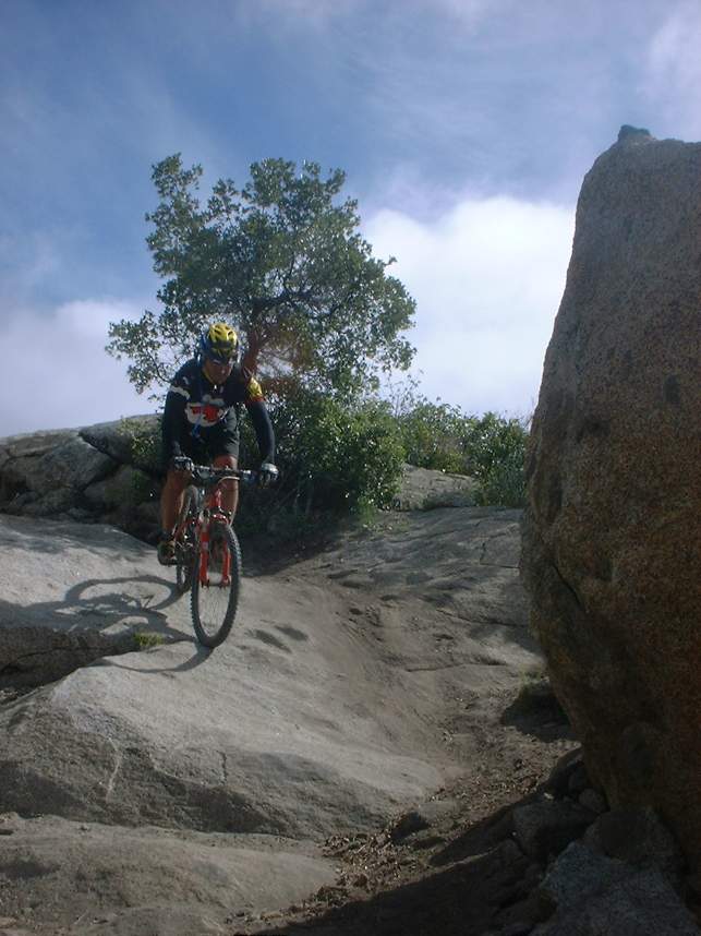
 It occurs a few hundred yards after the trails takes you down a rock slab where
you have to make a quick right at the bottom or you will hit a boulder (Picture
to the right). At 10.9 miles the trail dumps out on a fire road called
Skye Valley Road. Hang a right, roll along for about 1.5 miles, look for a
single track on the right at mile 11.7 and take it. This trail is called
Bronco Flats but very little of it is even close to flat. It quickly turns
uphill and gets steep. The Sagebrush Safari race uses this as a
hike-a-bike section. Luckily the steep section is not too long and the
trail quickly links up with the Gunslinger trail at mile 12.3. You will
continue uphill (which is a slight left).
It occurs a few hundred yards after the trails takes you down a rock slab where
you have to make a quick right at the bottom or you will hit a boulder (Picture
to the right). At 10.9 miles the trail dumps out on a fire road called
Skye Valley Road. Hang a right, roll along for about 1.5 miles, look for a
single track on the right at mile 11.7 and take it. This trail is called
Bronco Flats but very little of it is even close to flat. It quickly turns
uphill and gets steep. The Sagebrush Safari race uses this as a
hike-a-bike section. Luckily the steep section is not too long and the
trail quickly links up with the Gunslinger trail at mile 12.3. You will
continue uphill (which is a slight left).
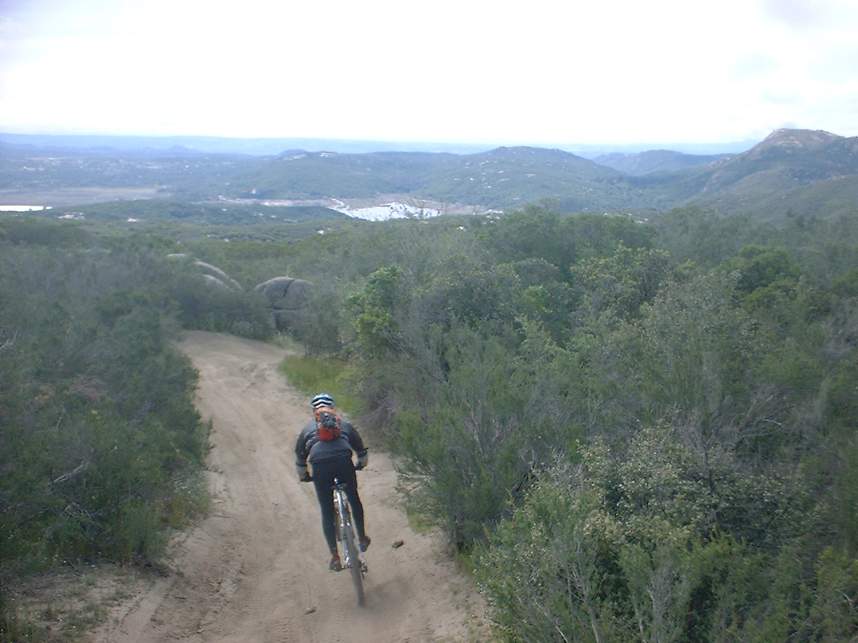
 Gunslinger is a ridge ride that offers more great views and some speedy spinning
for about 2 miles until you come out on a fire road at mile 14.2. From
here you will hang a right on the fire road and enjoy some downhill thrills for
a mile before it turns uphill. The fire road will bring you back to a
paved road by the Cottonwood Campground. Continue uphill on the paved road
(slight left when coming off the fire road). You will pass the spot where
the Spur Meadow trail brought you out to this road. Continue up the paved
road back up to Four Corners. Your odometer should be around 17.5 miles at this
point.
Gunslinger is a ridge ride that offers more great views and some speedy spinning
for about 2 miles until you come out on a fire road at mile 14.2. From
here you will hang a right on the fire road and enjoy some downhill thrills for
a mile before it turns uphill. The fire road will bring you back to a
paved road by the Cottonwood Campground. Continue uphill on the paved road
(slight left when coming off the fire road). You will pass the spot where
the Spur Meadow trail brought you out to this road. Continue up the paved
road back up to Four Corners. Your odometer should be around 17.5 miles at this
point.
 From Four Corners, you will hook up with top of the Kernan Trail, which is
located in the northeast corner of the large dirt area. The Kernan is all
about tight-banked turns and whoop-de-doos with some interspersed rocky
areas. All the while dumping off a bunch of elevation in a short distance
that is sure to peg your fun-o-meter. You reach the bottom of the Kernan
all too quickly and you are back where you started at for a total of 20 miles.
The Kernan Trail is also the site of the Sagebrush Safari downhill event.
From Four Corners, you will hook up with top of the Kernan Trail, which is
located in the northeast corner of the large dirt area. The Kernan is all
about tight-banked turns and whoop-de-doos with some interspersed rocky
areas. All the while dumping off a bunch of elevation in a short distance
that is sure to peg your fun-o-meter. You reach the bottom of the Kernan
all too quickly and you are back where you started at for a total of 20 miles.
The Kernan Trail is also the site of the Sagebrush Safari downhill event.
 While the trails of the Lake Morena area is not full of tight technical
singletrack that some of my more seasoned riding partners remember. I
found the trails quite fun and physically demanding. Well worth it to take the
drive out and check it out the trails and the views for yourself.
While the trails of the Lake Morena area is not full of tight technical
singletrack that some of my more seasoned riding partners remember. I
found the trails quite fun and physically demanding. Well worth it to take the
drive out and check it out the trails and the views for yourself.