
Tiger Mountain, near Seattle Washington
 Considered a perennial favorite by many riders in the Seattle area. Tiger Mountain has a little bit of every thing and its close proximity to Seattle draws a lot of people. That is is of course from April 15th to October 15th when the singletracks are open. Outside of that time frame you will have to stick to the fireroads which are plentiful. The Preston Railroad Trail is the downhill that gets a lot talk and excitement. It is however the one trail out here that I was not able to get onto. It will closed during one visit, and a virtural creek during my second opportunity. The other great trails out there are the Northwest Timber Trail and the Iverson (aka Fat Hand) Trail. This is a trail system that should be checked if you are in the Seattle area when the singletracks are open. I would not bother outside of that timeframe unless everything else is soggy and you are looking for a great view of Mount Rainer. Considered a perennial favorite by many riders in the Seattle area. Tiger Mountain has a little bit of every thing and its close proximity to Seattle draws a lot of people. That is is of course from April 15th to October 15th when the singletracks are open. Outside of that time frame you will have to stick to the fireroads which are plentiful. The Preston Railroad Trail is the downhill that gets a lot talk and excitement. It is however the one trail out here that I was not able to get onto. It will closed during one visit, and a virtural creek during my second opportunity. The other great trails out there are the Northwest Timber Trail and the Iverson (aka Fat Hand) Trail. This is a trail system that should be checked if you are in the Seattle area when the singletracks are open. I would not bother outside of that timeframe unless everything else is soggy and you are looking for a great view of Mount Rainer. |
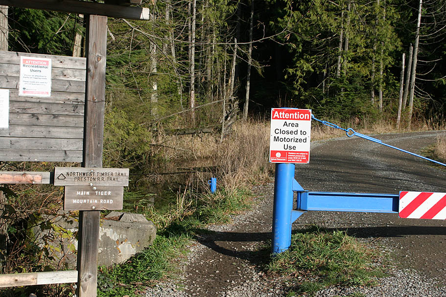
| Directions: From I-90 take the HWY 18 exit west. At the top of Tiger Mountain there will be a parking lot on the left. From I-5 take hwy 18 east. Go about ten miles or so past Kent to the Tiger Mountain Summit, parking lot is on the left. You can park right off the highway in the large dirt pullout or if the gate is open, you can to the upper parking lot by going through the gate and hanging a left. The upper parking lot will be on your right in about a 1/3rd of a mile. |
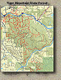
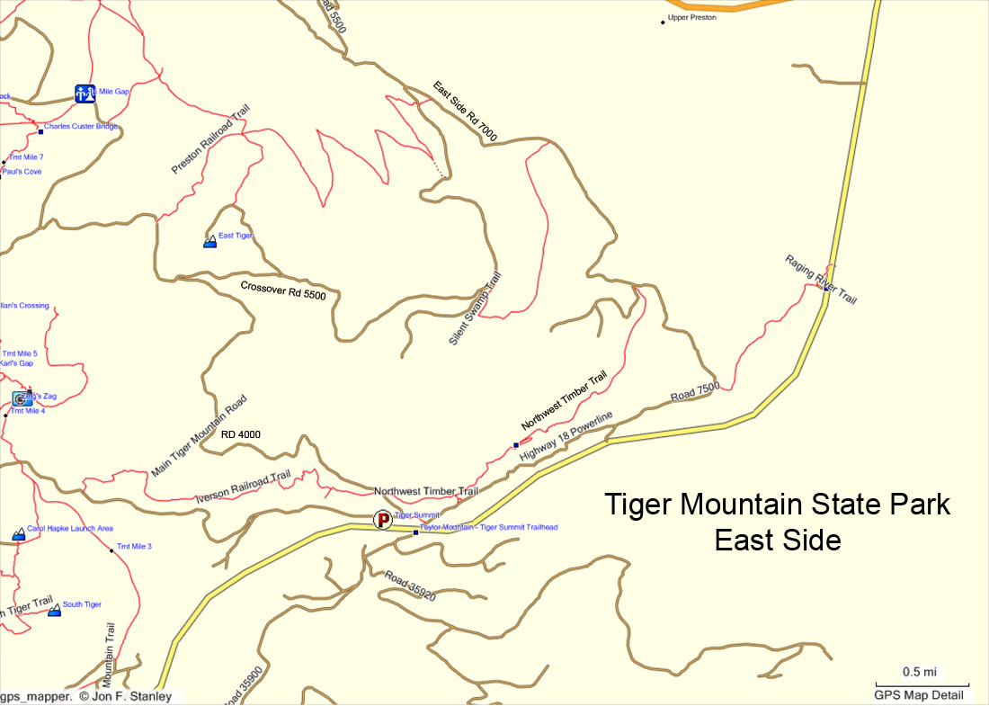
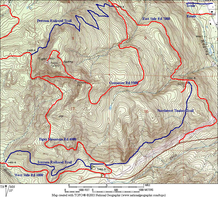
Maps and GPS Data: Here are some maps available around the net. They come by way of Switchbacks.com, Northwesttrails.com and The Evergreen Alliance. Here is my GPS data in several formats: GDB, GPX, KML |
   |
| Ride Report: I have not ridden the Preston Railroad trail, I have been at both the top and bottom of it so I'll describe how to get to it. |
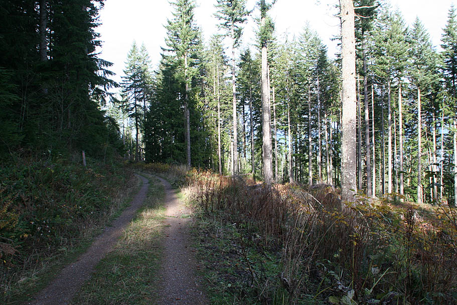
  From the lower parking lot (right off the road). Go around the gate, you will immediately see another fireroad heading off to your left (west). This will take you out to the upper parking lot and towards the Iverson Trail. Continue straight and start climbing on the main Tiger Mountain Forest Service Road (4000). At the first sharp left hand bend (just a short ways up the road) you will see a faint trail heading off to right. This is a singletrack connector over to the Powerline road (7500). Should you be out here in the winter when the singletracks are closed you will be coming back by the powerline road and this trail. Keep climbing and just a little further you will see where the lower end of the Northwest Timber Trail comes in from the right. From the lower parking lot (right off the road). Go around the gate, you will immediately see another fireroad heading off to your left (west). This will take you out to the upper parking lot and towards the Iverson Trail. Continue straight and start climbing on the main Tiger Mountain Forest Service Road (4000). At the first sharp left hand bend (just a short ways up the road) you will see a faint trail heading off to right. This is a singletrack connector over to the Powerline road (7500). Should you be out here in the winter when the singletracks are closed you will be coming back by the powerline road and this trail. Keep climbing and just a little further you will see where the lower end of the Northwest Timber Trail comes in from the right. |
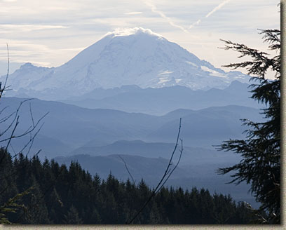
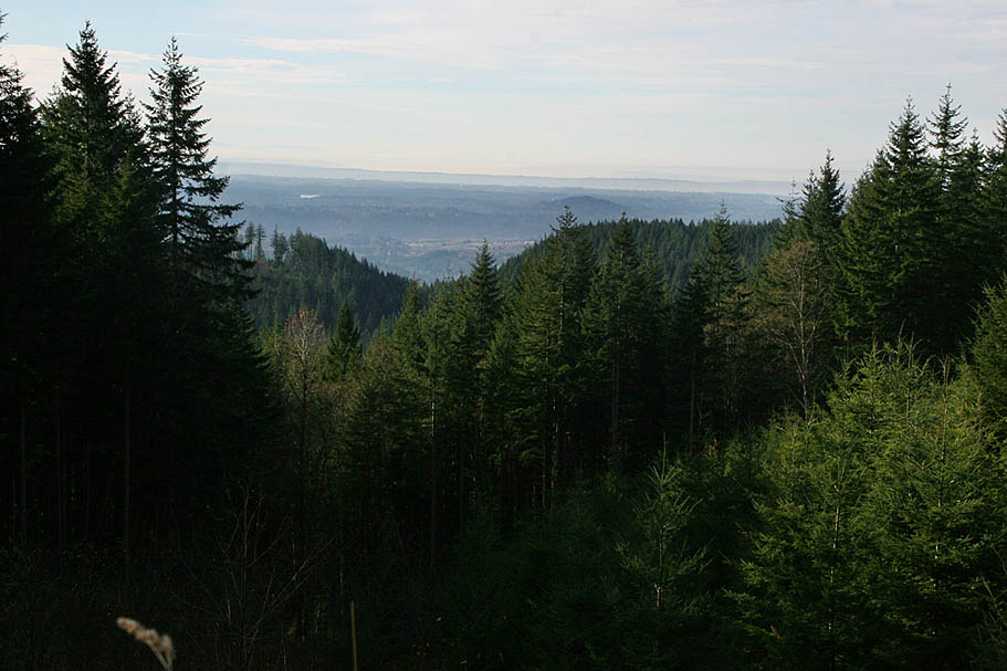
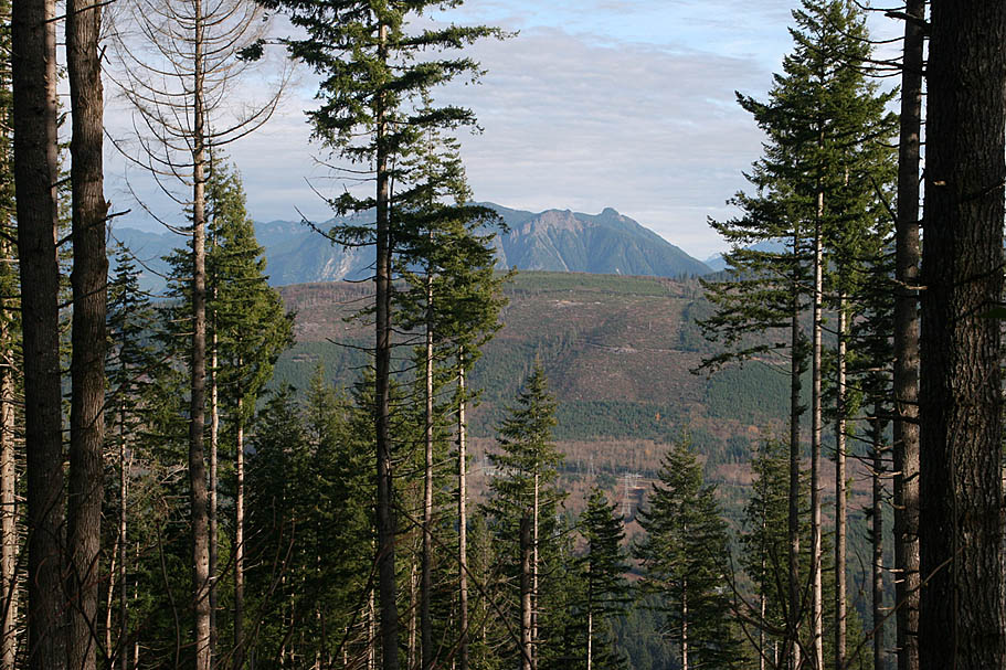
 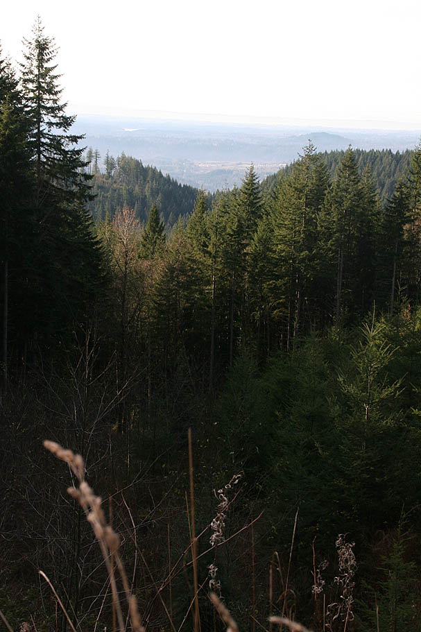 Keep on climbing. While the views are typically obscured by the trees, with this being a working forest, there will be occasional sections of clear cutting on the mountain. When you pass through these makes sure to look around and behind you as the scenery can be awesome on clear days. Keep on climbing. While the views are typically obscured by the trees, with this being a working forest, there will be occasional sections of clear cutting on the mountain. When you pass through these makes sure to look around and behind you as the scenery can be awesome on clear days. |
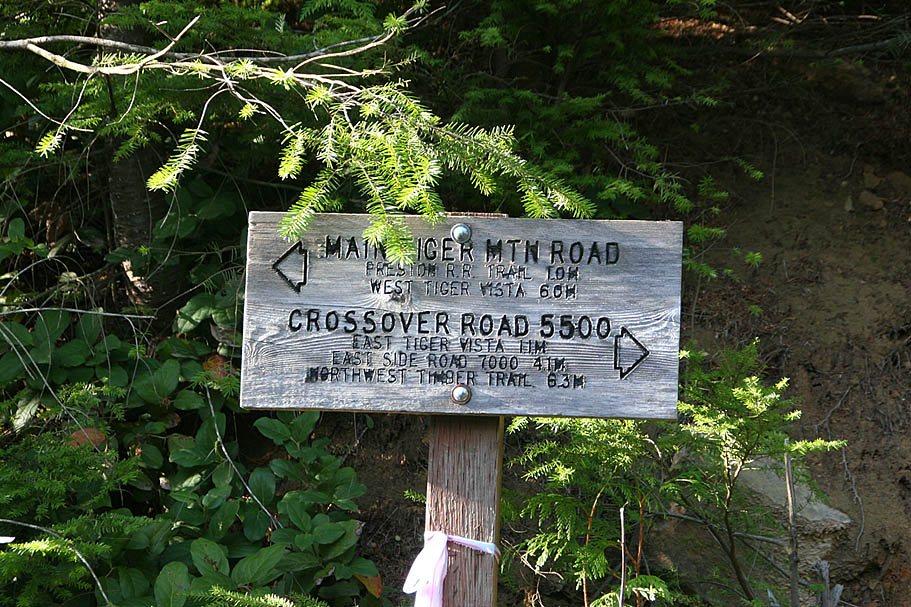  After about 2.7 miles of climbing you will come to a junction with Crossover Road (5500) that goes uphill and off to the right. If the singletracks are closed you will need to take Crossover Road. If the singletracks are open then go to your left and about 1/3rd of a mile further up the road you will see the Preston Railroad Trail going off to your right. Once on Preston it is four miles long and has no splits. It is supposed to be killer. After about 2.7 miles of climbing you will come to a junction with Crossover Road (5500) that goes uphill and off to the right. If the singletracks are closed you will need to take Crossover Road. If the singletracks are open then go to your left and about 1/3rd of a mile further up the road you will see the Preston Railroad Trail going off to your right. Once on Preston it is four miles long and has no splits. It is supposed to be killer. |
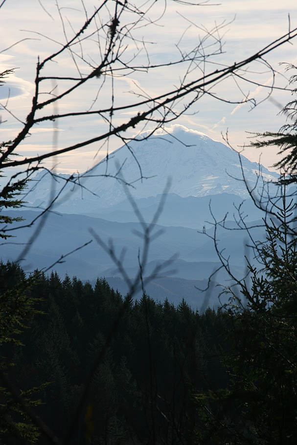     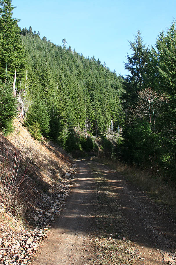 |
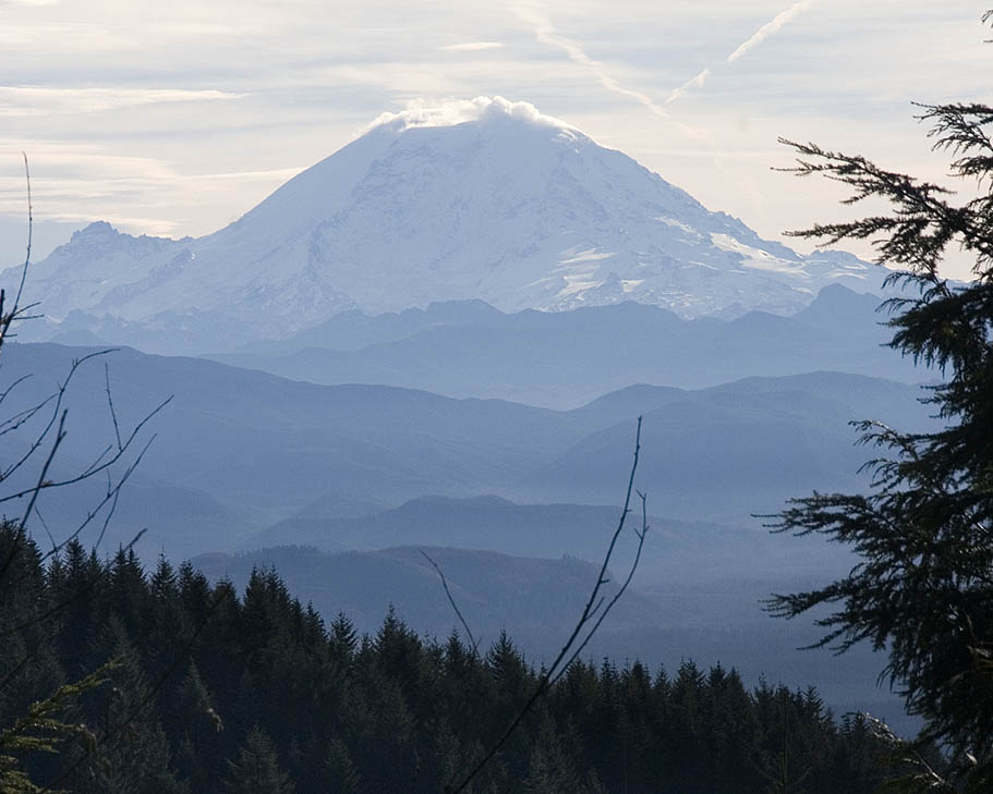
I had to take the Crossover Rd due to Preston being a wet mess. There was not much more climbing to do from this point on Crossover Rd and on the day I rode this it was a clear day the view of Rainer was exceptional. The descent down Crossover Road was blistering fast but it was a shame to waste all of that elevation loss on a fireroad. After about 3.5 miles the bottom of Preston comes in from the left and there is a trail going off to the right that cuts off the corner of the East Side fireroad (5500) which is just a short distance down the road. At the junction of the Crossover and Eastside fireroad turn right (south) onto the Eastside Road.
|
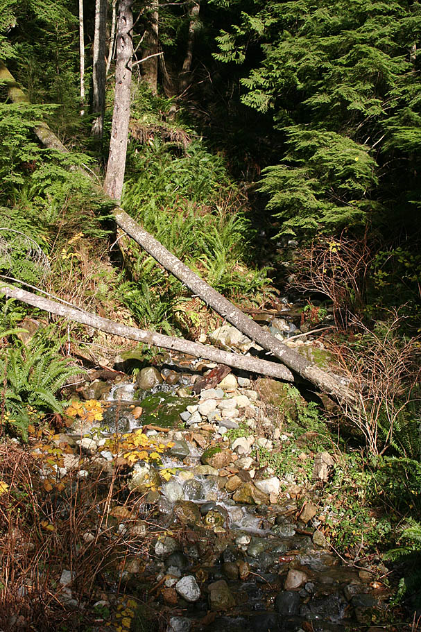
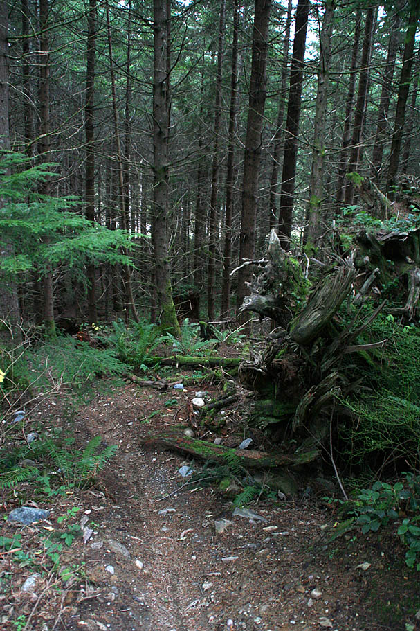
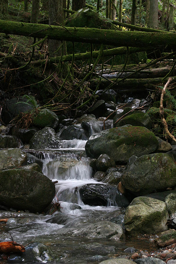
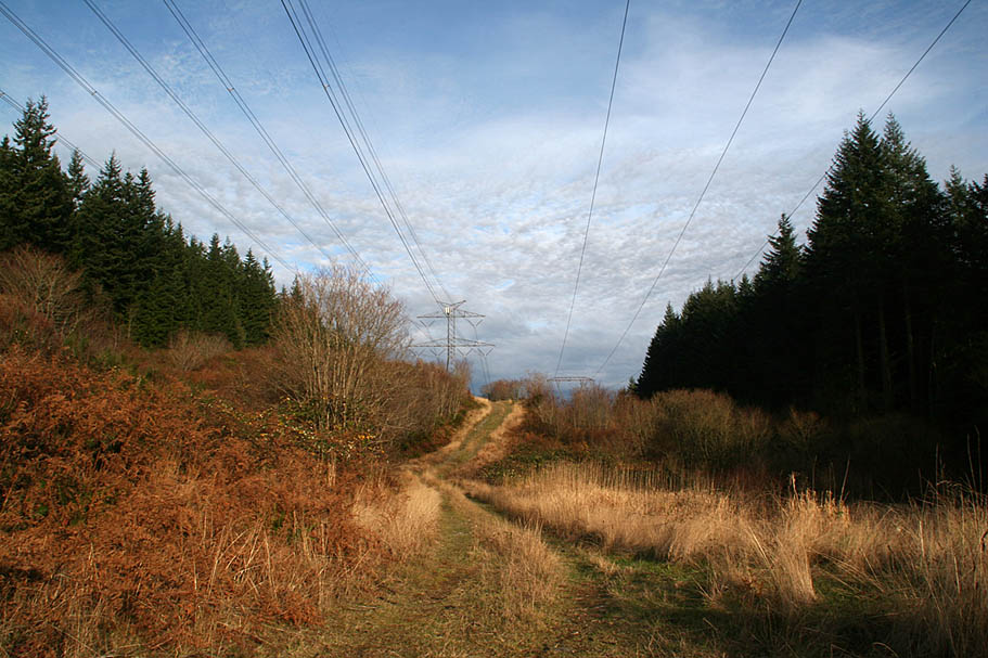  There is about two miles of fireroad cruising on the East Side fireroad to get to the Northwest Timber Trail. While there are a few undulations there is one significant descent followed by a steepish grunt. After the two miles you will see another road heading off to the right. The Northwest Timber Trail is right in this area. There is a sizable sign here as well. If you are doing this ride when the singletracks are closed you will have to continue on the East Side Road. There are a bunch of steep undulations and stream crossing before you work your way to the Powerline Trail where you will hang a right and head back towards the trailhead. If you can avoid having to go this way, do so. There is about two miles of fireroad cruising on the East Side fireroad to get to the Northwest Timber Trail. While there are a few undulations there is one significant descent followed by a steepish grunt. After the two miles you will see another road heading off to the right. The Northwest Timber Trail is right in this area. There is a sizable sign here as well. If you are doing this ride when the singletracks are closed you will have to continue on the East Side Road. There are a bunch of steep undulations and stream crossing before you work your way to the Powerline Trail where you will hang a right and head back towards the trailhead. If you can avoid having to go this way, do so. |
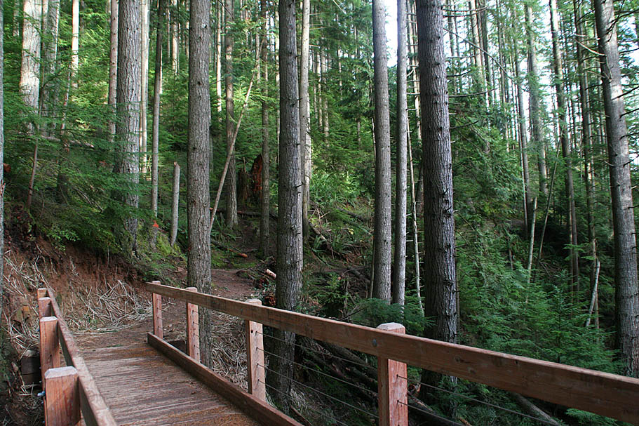
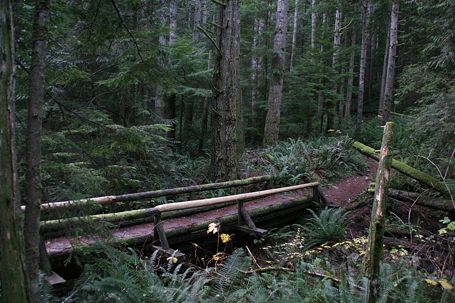
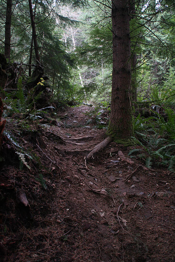
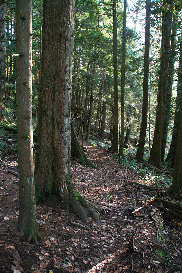
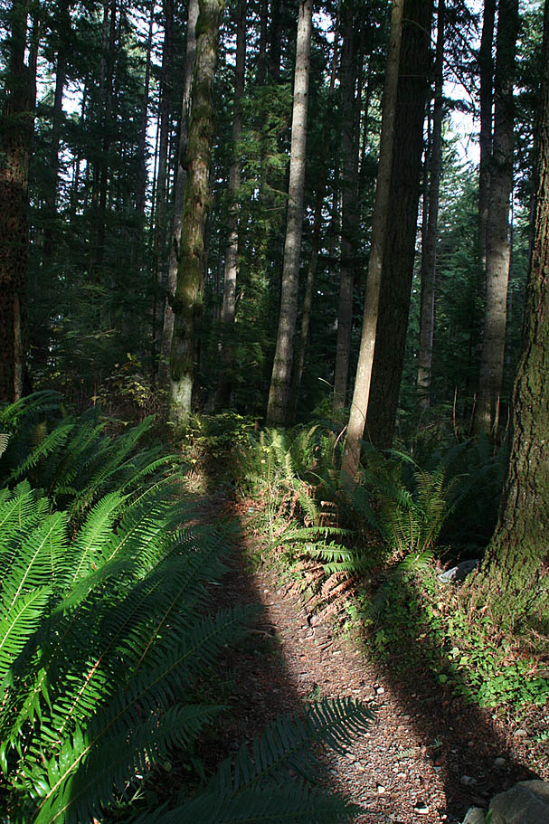
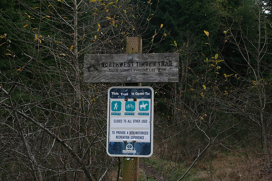 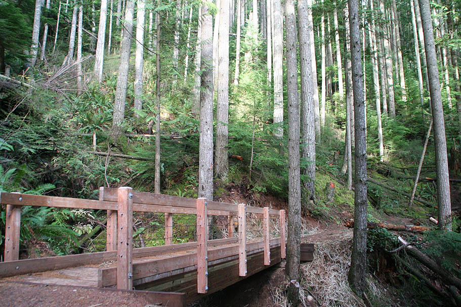 The Northwest Timber Trail is an awesome trail that is fairly mild in grade but flows and uses the elevation superbly. The towering trees, ferns and other flora are simply spectacular. There are several wooden bridges along the trail that are pretty impressive. From what I understand they were constructed off site, disassembled and the pieces were delivered by a helocopter where a crew then reassembled them. As a working forest the though of timber going out and timber coming in to be interesting. The Northwest Timber Trail is an awesome trail that is fairly mild in grade but flows and uses the elevation superbly. The towering trees, ferns and other flora are simply spectacular. There are several wooden bridges along the trail that are pretty impressive. From what I understand they were constructed off site, disassembled and the pieces were delivered by a helocopter where a crew then reassembled them. As a working forest the though of timber going out and timber coming in to be interesting. |
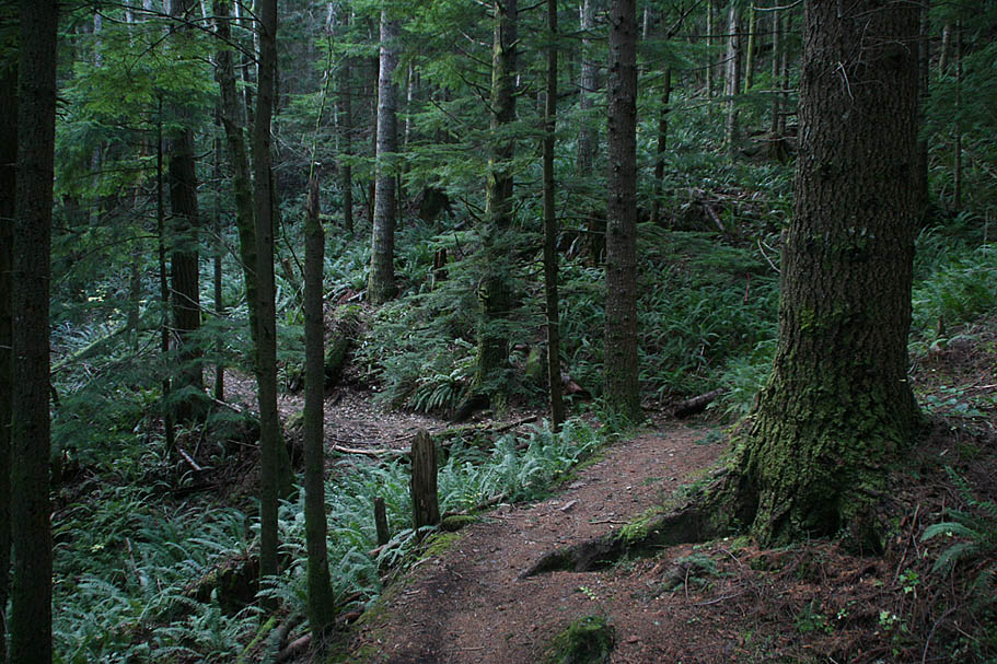 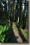 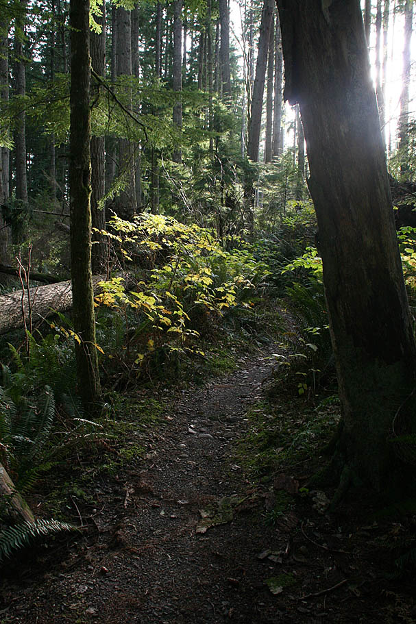   |
| One thing is for certain, the Northwest Timber Trail is 2.5 miles of singletrack goodness. |
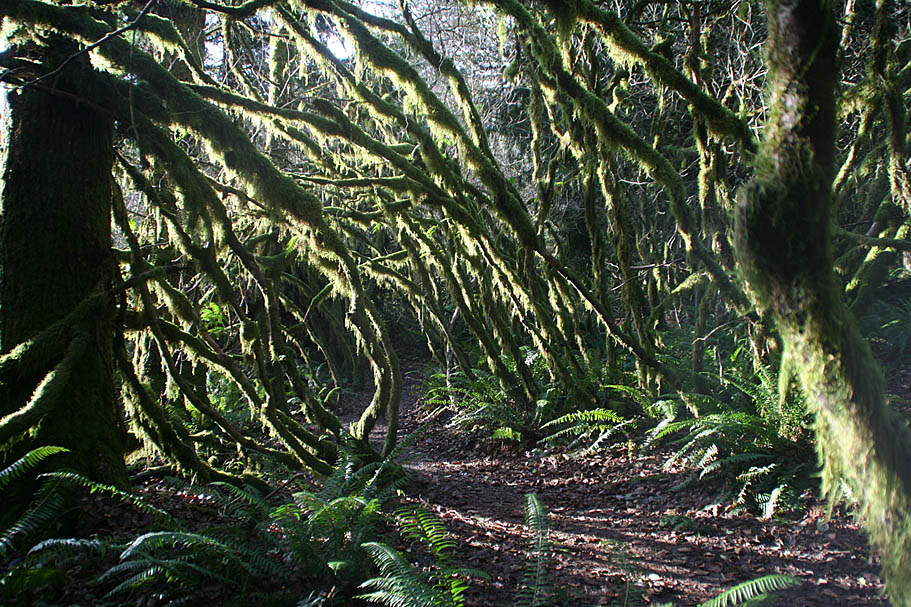 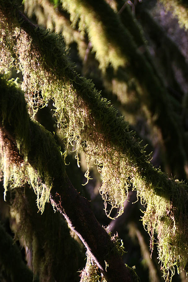 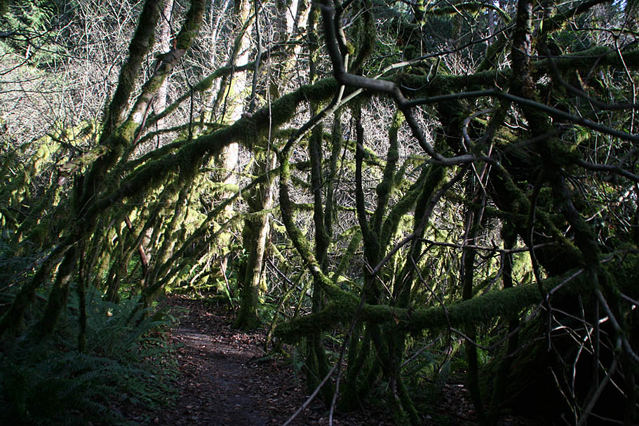 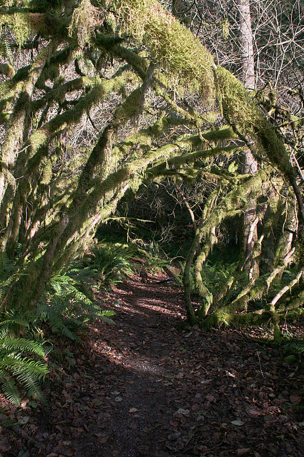  |
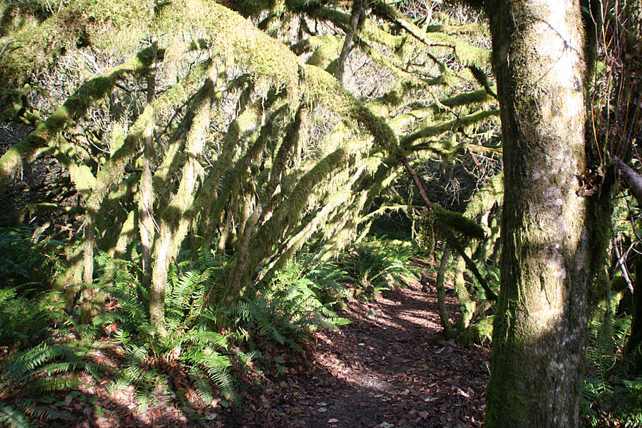
| There was some really surreal looking moss growing in one of low lying areas that formed nearly a tunnel. |
| Once the Northwest Timber Trail comes back out onto the Main Tiger Mountain Road you can either take a connector trail over to the Iverson Trail which in the immediate vacinity or you can coast back down the lower trailhead parking. The connector trail was closed (for repairs I believe) the last time I was there so I coasted back down towards the lower trailhead. |
  Just before you get to the lower trailhead/parking area, hang a right onto fireroad heading west. After about 1/3rd of mile you will see the upper parking lot. The bottom of both the Iverson Railroad Trail and the Connector Trail to the main Tiger Mountain fireroad are located on the far side of the parking lot. Continue on the fireroad. There are a few grunts and dips along this road and after about another 1.4 miles you will see the Iverson Railroad Trail going off to your right. Just before you get to the lower trailhead/parking area, hang a right onto fireroad heading west. After about 1/3rd of mile you will see the upper parking lot. The bottom of both the Iverson Railroad Trail and the Connector Trail to the main Tiger Mountain fireroad are located on the far side of the parking lot. Continue on the fireroad. There are a few grunts and dips along this road and after about another 1.4 miles you will see the Iverson Railroad Trail going off to your right. |
Overall I enjoyed myself on Tiger Mountain. Thinking about the quality of trails and the relative closeness to Seattle, I can certainly see why it gets so much attention. I'm planning on riding here again someday, but if the higher mountain regions are open during my next visit, I could be persuded to let this place go for a new and more remote adventure. |
