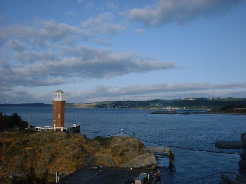
Victoria, British Columbia
 Victoria
is situated at the southern tip of Vancouver Island. Vancouver Island is located
off the coast of British Columbia and is approximately 300 miles long and 50
miles wide. Victoria is the largest city on the island. It is located in
close proximity to Vancouver, British Columbia and Seattle, Washington.
You can easily find tons of mountain biking opportunities on the island and I
only had an chance ride one day in June of 2003. I opted to do a ride close to downtown
Victoria. The best advice I can give for someone wanting to ride in the
Victoria Area is to check out the South Island Mountain Bike Society's website.
We decided to ride out The Mount Work - Hartland Park, aka "The Dump"
because it is next to an active landfill. (For the record we did not smell
the landfill all day.)
Victoria
is situated at the southern tip of Vancouver Island. Vancouver Island is located
off the coast of British Columbia and is approximately 300 miles long and 50
miles wide. Victoria is the largest city on the island. It is located in
close proximity to Vancouver, British Columbia and Seattle, Washington.
You can easily find tons of mountain biking opportunities on the island and I
only had an chance ride one day in June of 2003. I opted to do a ride close to downtown
Victoria. The best advice I can give for someone wanting to ride in the
Victoria Area is to check out the South Island Mountain Bike Society's website.
We decided to ride out The Mount Work - Hartland Park, aka "The Dump"
because it is next to an active landfill. (For the record we did not smell
the landfill all day.)
Directions from downtown Victoria: Travel north on Blanchard St which turns into the Patricia Bay Highway (17). Get off at the Royal Oak exit. Turn left at the traffic light onto Royal Oak Drive. Turn right onto West Saanich Road. After a couple of miles you will pass a gas station on your right. 500 meters after the gas station is Hartland Road. Turn left onto Hartland Road and take it to its end. The parking lot is on your right just before you enter the landfill.
If you are coming from downtown Victoria on your bike: Simply go across the Johnson St Bridge (East-to-West) and stay on the path on your right and hookup with the Galloping Goose Trail (This is a paved/gravel/dirt road commuter type trail in this area) and follow it until it crosses Royal Oak drive. Hang a left. After about a mile you will cross over the HWY 17. Follow the directions as above.
RIDE NOTES:
We decided to ride our bike from downtown, and on our way out to the park we decided to make a pit stop at Neverland Bikes on West Saanich Road about 3km from the trailhead. We picked up a map of the park (It will cost you about 7 loonies) and the guys there were quite helpful and hooked up us with some advice and suggested routes.
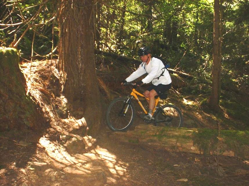
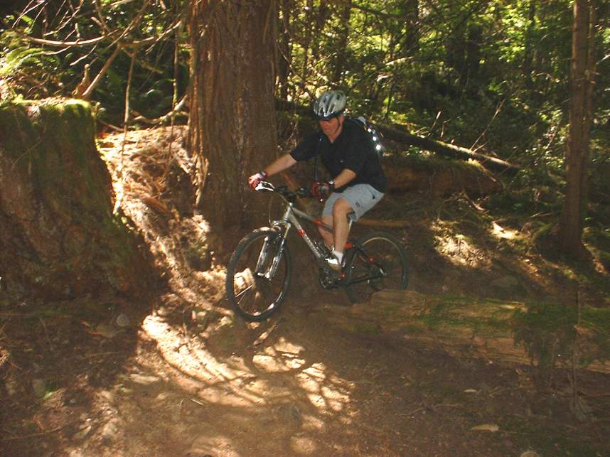
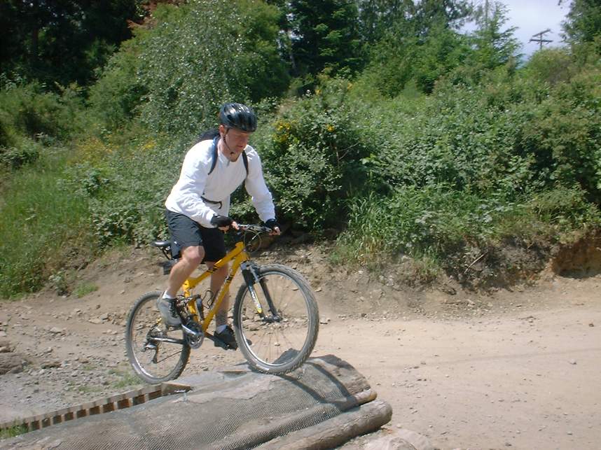
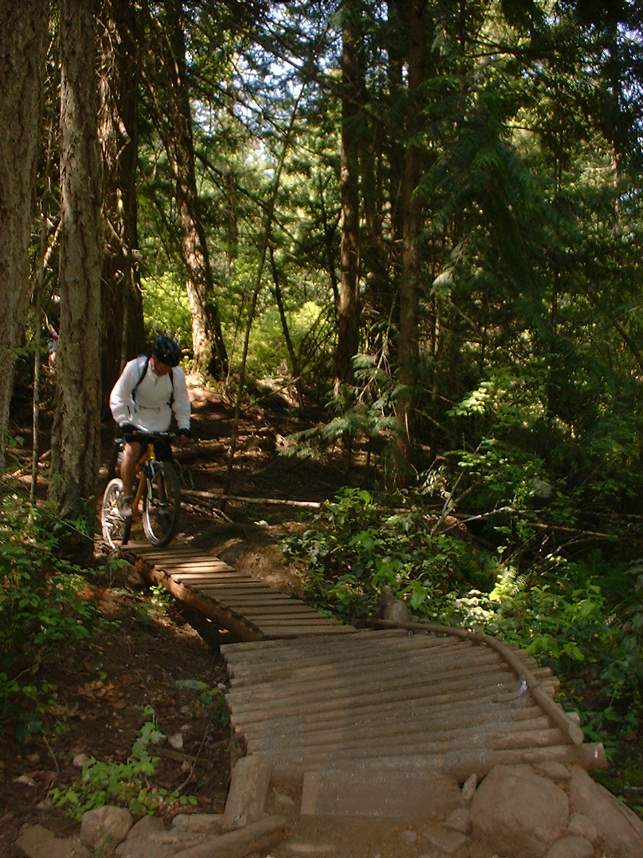
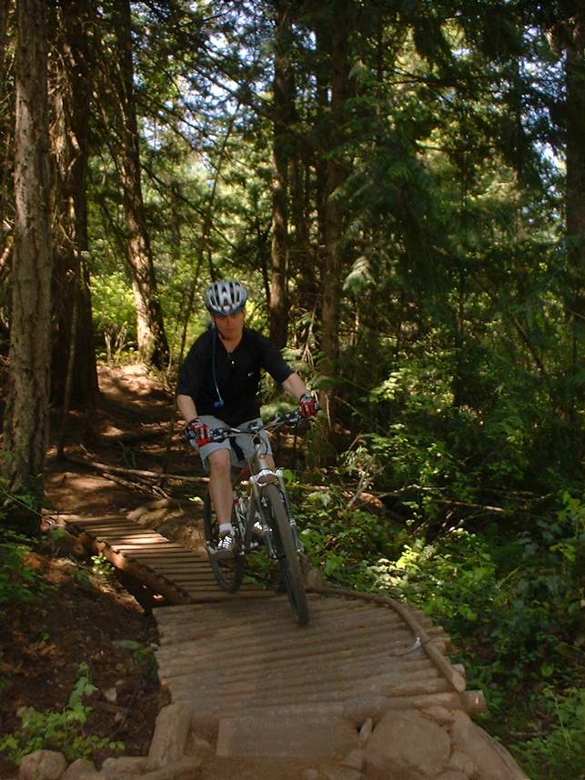
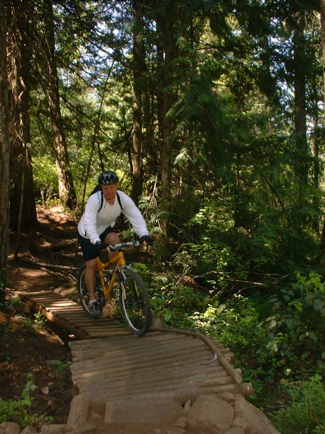
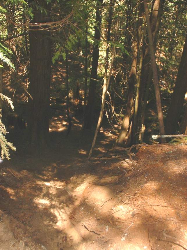
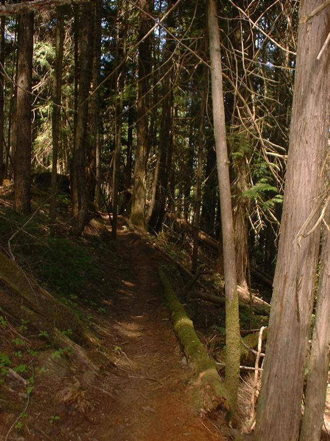
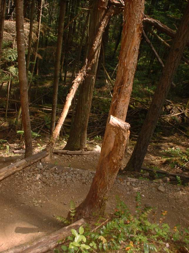
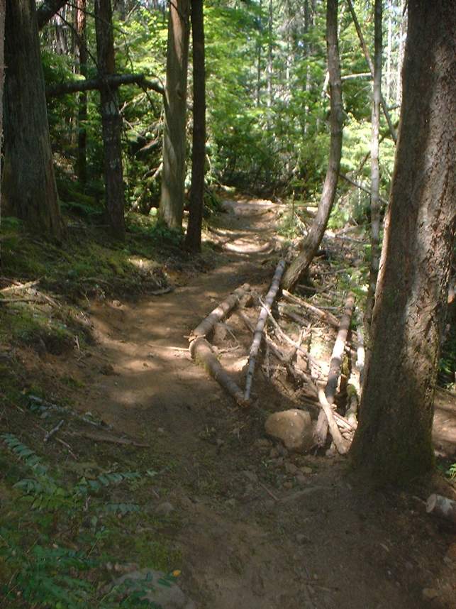
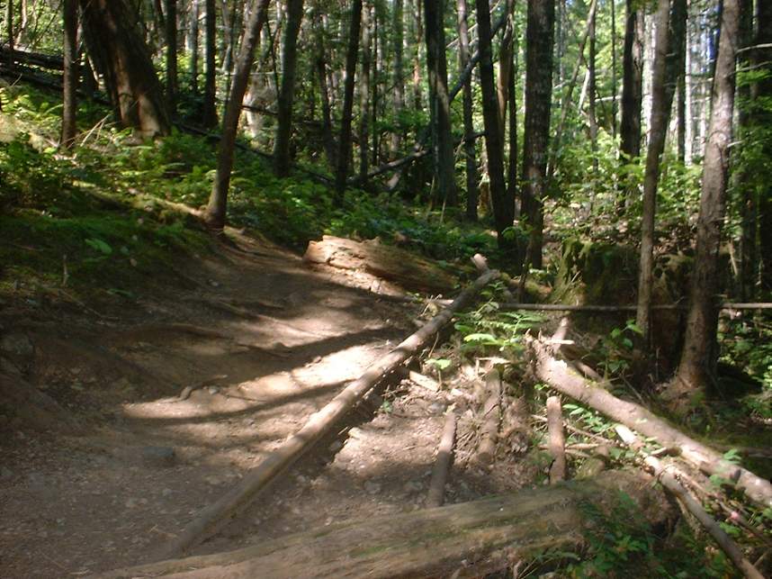
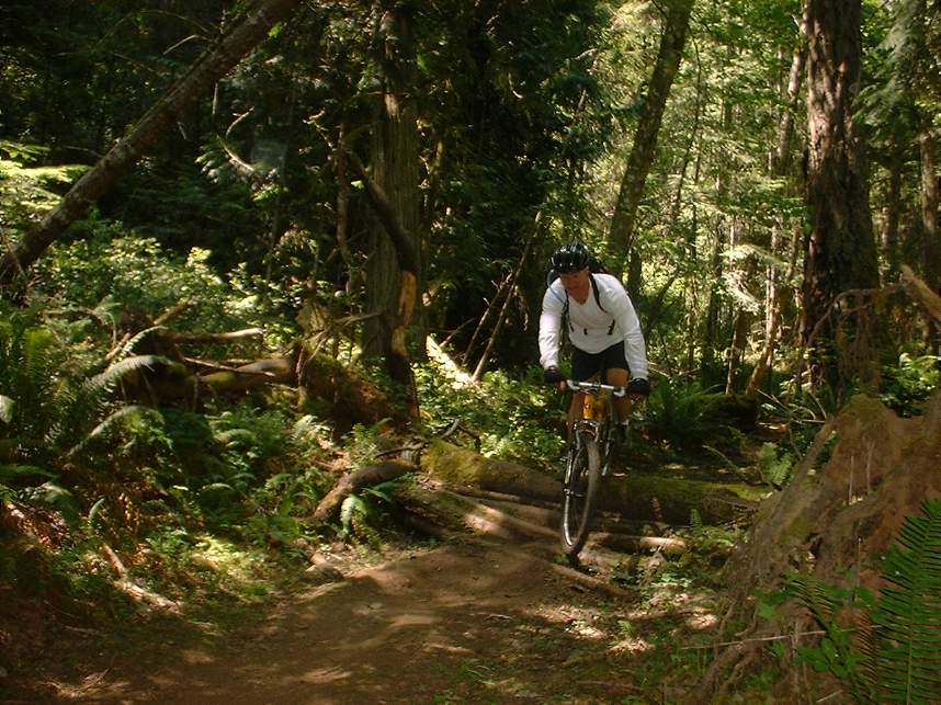
Our route had us pretty much following the perimeter of the park. There is a really cool Technical Training Area that has all of the basic manmade structures that you can expect to see in the park all in one spot so you can get some practice in before hit the trails. After playing around on the structures for a bit we headed out. The trails are quite practically named so your first impression of the trail names is probably pretty close to what you can expect. We steered clear of the trails with names like Organ Donor, Lemmings Run, and Birth Control. All the trails are rated like the ski slopes, green circles, blue squares and black diamonds.
We started of on the Regional Trail (Green Circle). We took that all the way to the north end of the park. It was for the most part a gradual climb. We then took Sidewinder (Black Diamond) up to the North Ridge trail (Black Diamond).
We then took the North Ridge trail to Dirt Falls which is a quite short but steep hike-a-bike in the direction we went.
From there we hooked up with Twister (Black Diamond), which was way fun.
Twister took us to Water Works (Black Diamond) where we hung a right and went up to Champ's Cafe where we hung a right onto Dave's Line
We took Dave's Line were it took us to a mesh of trails where you can hookup with the top of the double black diamond trails Birth Control, Hot Cherry and Falling Satellites. We stayed to the left and hooked up with the South Ridge trail (Black Diamond).
We took the South Ridge trail to Bottom Feeder (Black Diamond) where we took it down to Crossover (Blue Square).
Crossover to Ruffles (Blue Square) where we went to Emergency Two (Green Circle) and hung a right and took it down to Little Face (Blue Square) and hung a left.
We took Little Face up to Emergency One (Green Circle) where hung a right and went down for a bit to catch the top of the Skull Trail (Black Diamond) . Skull Trail dumped us back on the regional trail where we went back the parking lot.
From there we headed back into town the way we came.
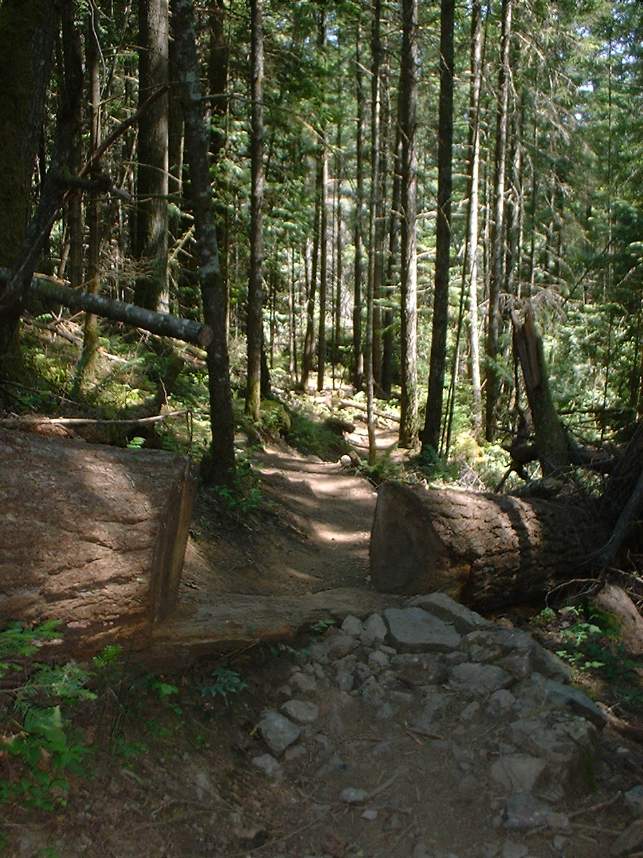
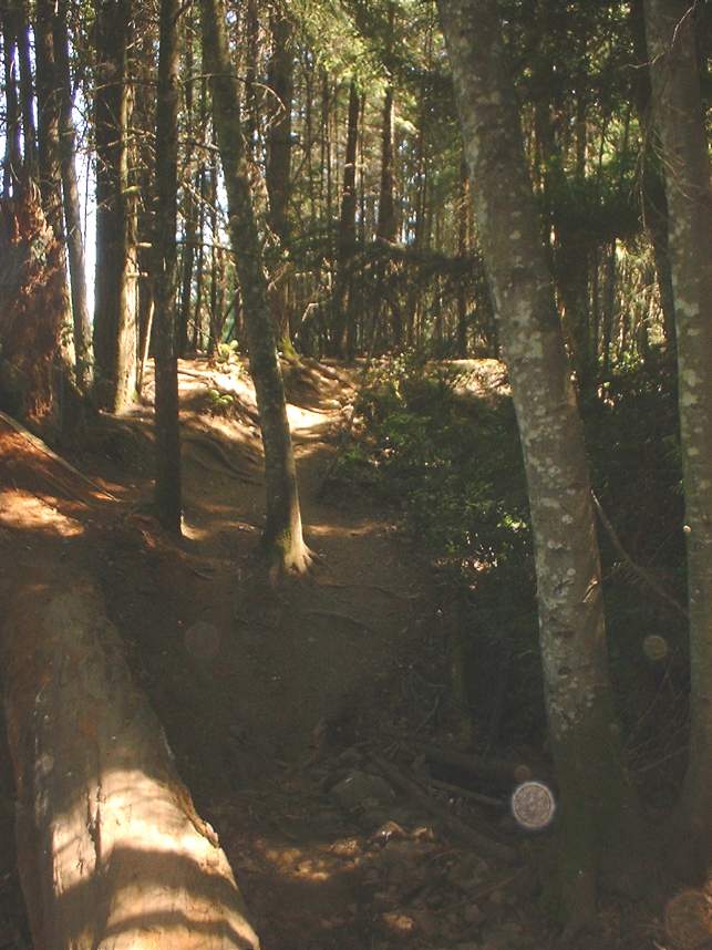
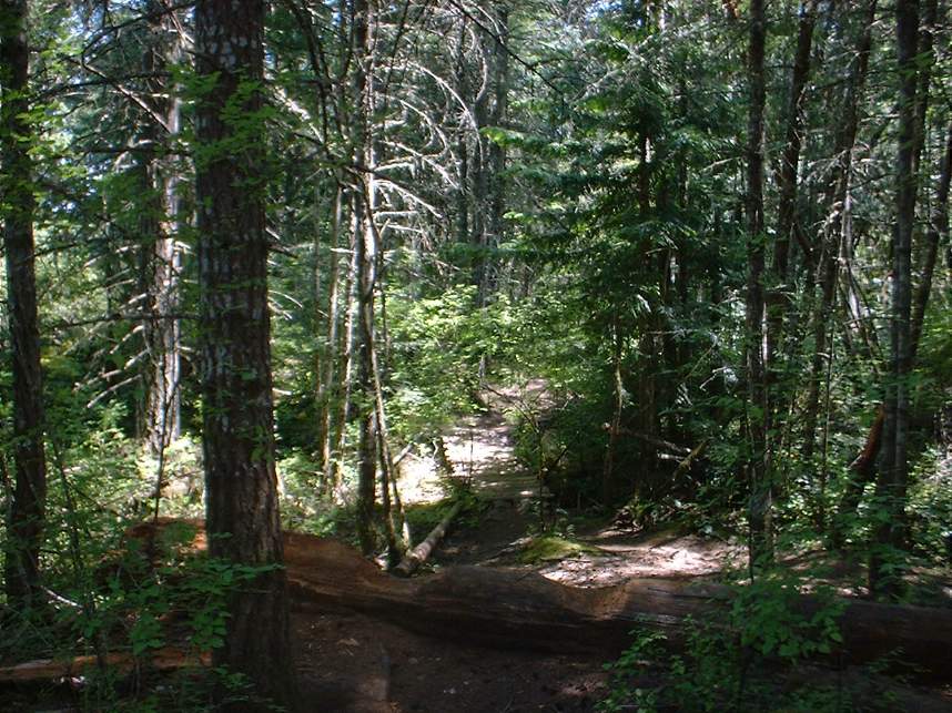
Pictures from the Ride