The Summit National Recreation Trail (31E14)
Located in the northern eastern portion of the Giant Sequoia National Monument in the southern Sierra Nevada mountains, the Summit National Recreation Trail (31E14) travels along the peaks of the Great Western Divide for 36.3 miles. The trail's northern 11.3 mile section travels through the Golden Trout Wilderness Area to the southern border of the Giant Sequoia National Park making it off-limits to mountain bikes. However, the 25-mile long southern sections of the Summit Trail are open for mountain biking and from the small section I rode it is worth a visit. On this trip I rode about a section of the Summit Trail from a little south of the Golden Trout Wilderness Area south to the Quaking Aspens campground. I also rode some other unnamed trails in the area that I originally thought were the Summit Trail. I had a great solo adventure that day that included a bit of head scratching and map pointing. If I had to sum it up in a couple of words I would call this ride "Frustratingly Fantastic". With the removal of some deadfall it would be "Glorious".
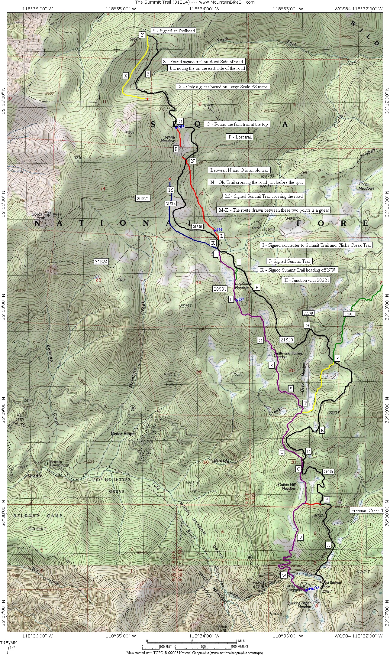 |
Map Notes: The map that you get from the National Forest Service for this area is very large scale and is not too suitable for trying to navigate your way along this trail. The 7.5 degree USGS topographic maps do not accurately show the upper portion of the Summit Trail. I set out on this ride with both maps and the upper portion of the trails I rode were not on the National Forest Service map and I can not find them named anywhere else. My best guess is this is the original line of the Summit Trail (31E14) between the saddle on the highpoint of 21S50 and the meadow just north of Log Cabin Meadow. The maps posted here annotate where I scouted the Summit. Here is the TOPO file that you can download. |
Directions: From Los Angeles it is about a 200 mile trip. Drive north on interstate 5, then take highway 99 north. North of Bakersfield take CA65. In Porterville, go east on CA190. About 28 miles beyond Springville and a super long series of switchbacks, you will come to 21S50 on your left. To go directly to the trailhead turn left and take the first dirt road on your right about .5 miles up the road and park in the dirt lot. If you are going to the Quaking Aspens campground , stay on CA190 and the road will make a quick right hand turn and will now be called the Western Divide Highway. Almost immediately, the entrance to the campground is on your right. If you are doing this a day trip there is parking at a small meadow on about half a mile away from the campground where both the Camp Nelson trail and the Summit trail come out on highway 190.
Hazards: The weather can change rapidly in that mountains so pack accordingly. This route is quite raw and apparently sees little use. Even the lower sections that are well marked can be hard to follow between forest service road crossings. If you or your group are not navigational savvy with a map and compass this may not the ride you want to learn on. Depending on a GPS alone on this ride can get you into trouble. There are quite a few unmarked trail splits and in several places the trail you want to take is not the predominant trail. I'll try to point out some of the trickier spots, but I will undoubtedly not remember them all. Knowing how to look at topographic lines on a map and correlate them visually to your surroundings is a must.
Ride Notes: (My description is based on being at the Quaking Aspens Campground)
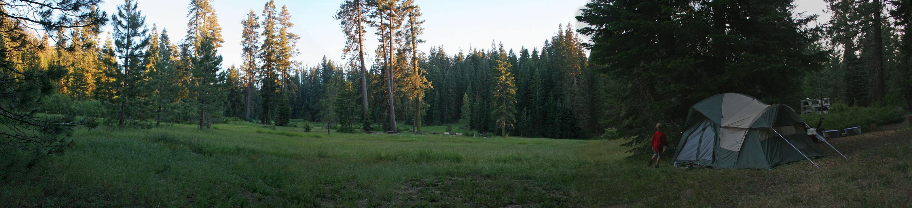
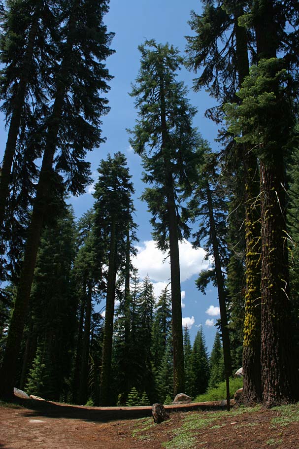
The starting point of this ride in the Quaking Aspens Campground
From the backwoods information displays in the Quaking Aspens Campground, travel north (and downhill) on the Western Divide Highway (Mountain Road 107) .3 miles and turn right onto the paved road 21S50. While climbing 21S50 you will pass by the dirt road turn off for the Freeman Creek Trail at .7 miles (Point A) and at 1.34 miles you will pass by one of many dirt roads that will allow you to connect up with the summit trail (This is on your left and unlabeled, Point B).
 |
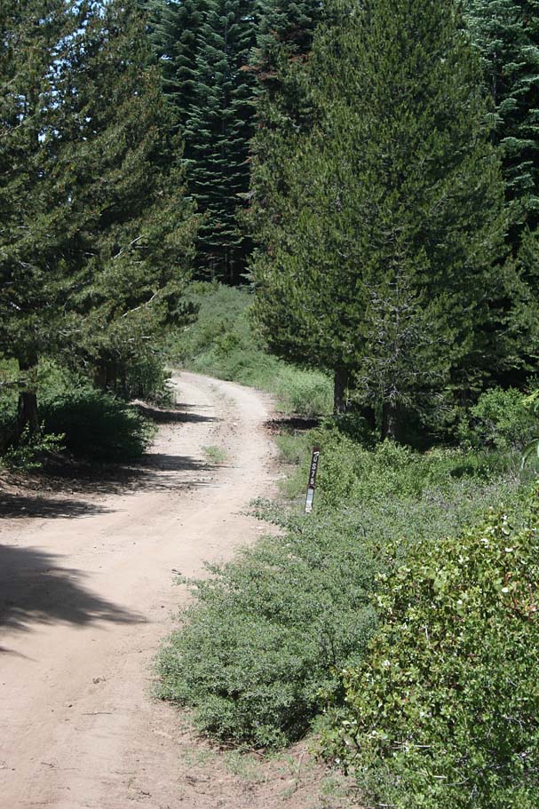
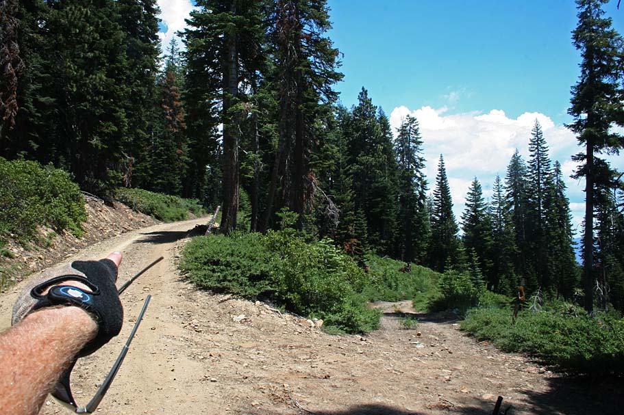
Point C - At 2.1 miles you will pass by the Summit Trail where it is next to the road on your right as is crosses over a very old 20S44 also on your left. (20S44 is not on the large scale Forest Service map) | ||||
 |
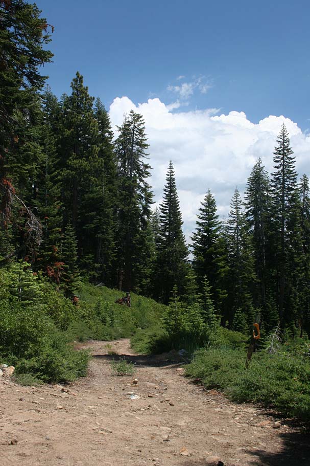
Point D - At 2.36 miles you pass by 20S75 on your left. A little bit around the bend of road in the picture on the left, the Summit Trail crosses over the road. The climbing all the way 21S50 is very mild and there are sections of mild downhill that make this not a particularly taxing climb for it length. There were more than a few occasions on this climb where I consciously thought about what a fun and beautiful climb this was. | ||||
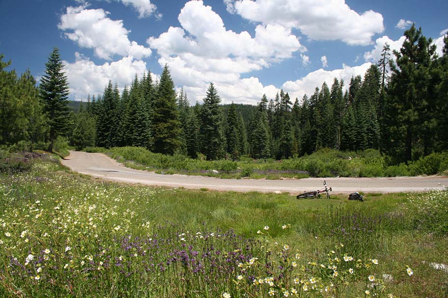 |
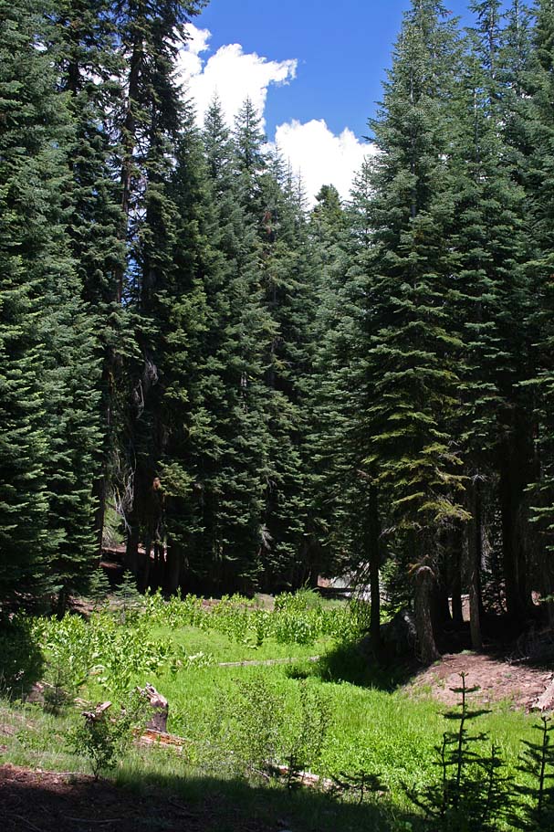
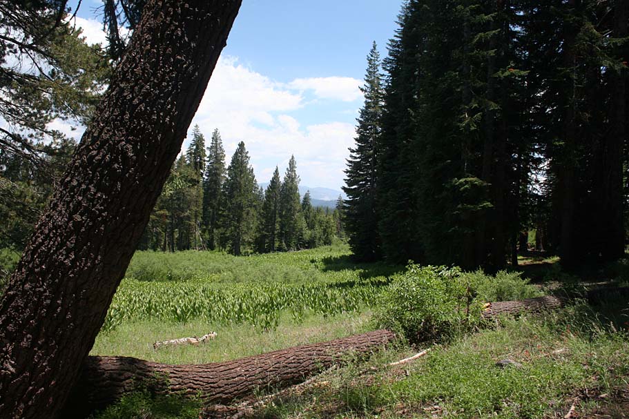
Point E - At 3.14 miles you pass by a really cool meadow on your left. If have certainly climbed uglier sections of pavement. | ||||
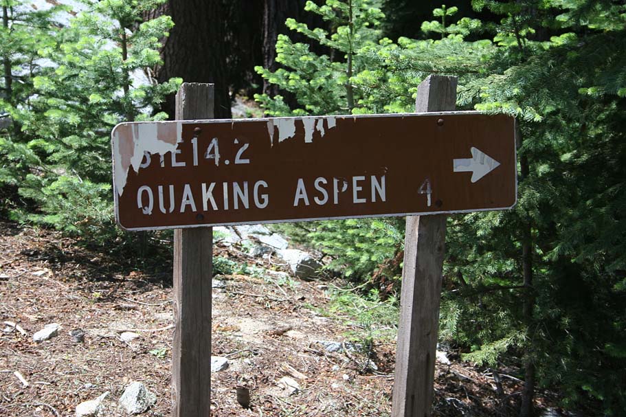 |
Point F - At 4.45 miles there is a singletrack that crosses the road. To the left it is called the 31E14.2 trail which connects into the main Summit Trail in 3/4ths of a mile. (According the maps, I did not ride it). The trail coming in from the right is the Lewis Camp Trail (33E01). The Lewis Camp trail goes up to the Golden Trout Wilderness Pack station and on into wilderness beyond. (I did not ride this trail either.) | 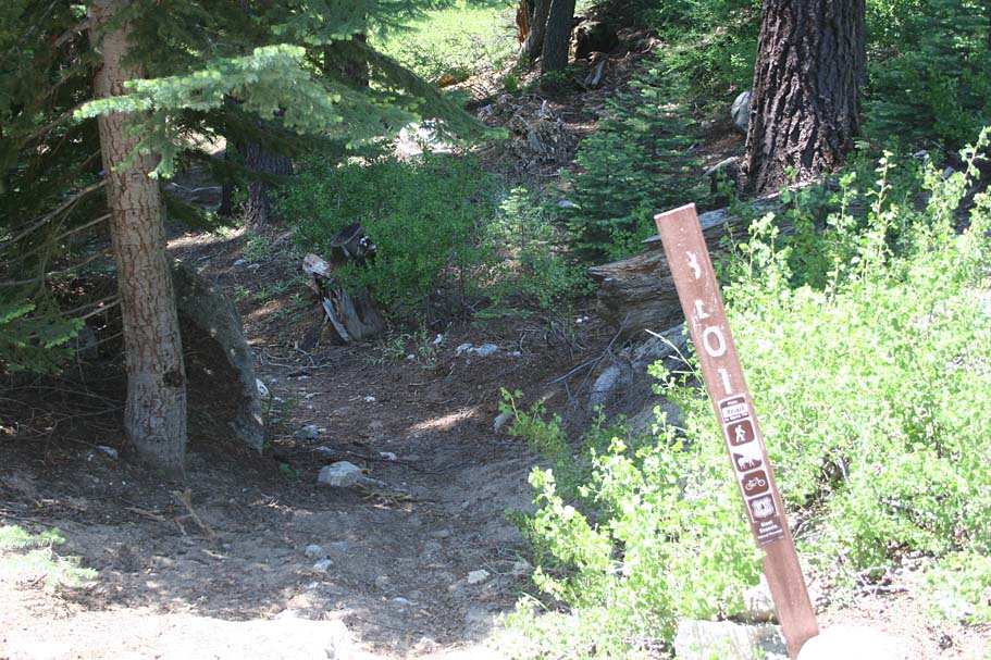 |
|||
 |
 |
 |
|||
 |
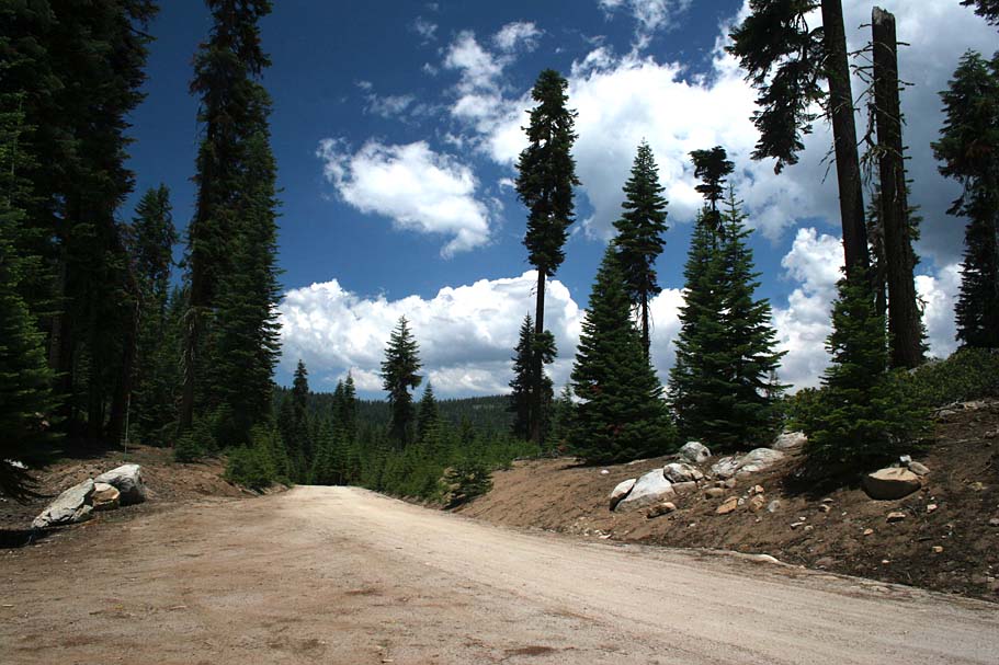
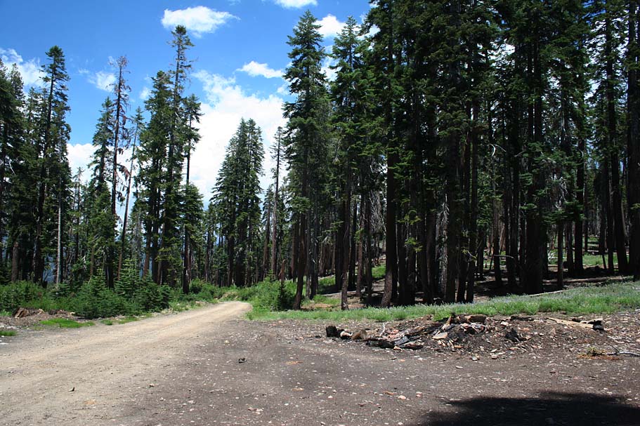
Point G - At 5.0 miles the road splits. Go left at the split and continue climbing on 21S50 which turns to dirt almost immediately after the split. | ||||
 |
Point H - At 6.18 miles you pass by the junction to 20S81. |
 |
|||
 |
A slight mental
diversion note at this point There is another loop that I have heard about that I am going to explore at some point that takes you out to the Jordon Peak Lookout station . It would involve climbing up this road. to Point M, and take 20S71 out to the lookout followed by some supposedly gnarly singletrack down the south face to 31E24 where you would ride back to 20S81 and rejoin this road at this point. We now return to our previously scheduled trail description. |
 |
|||
 |
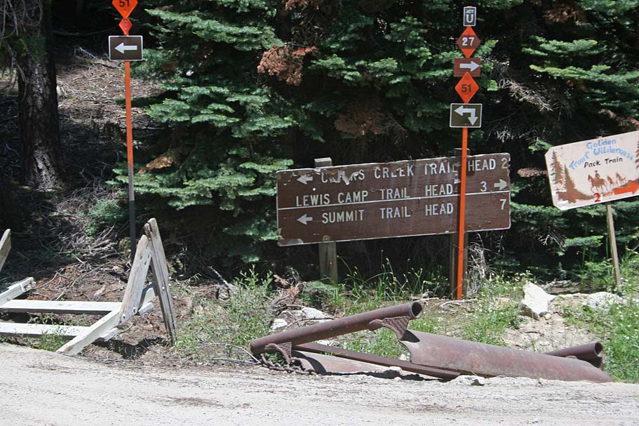
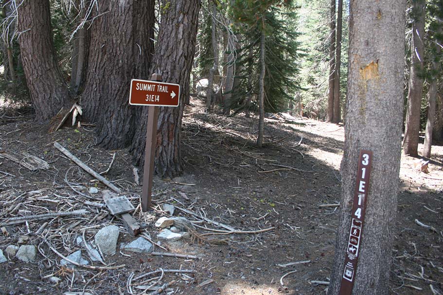
Point I - 6.53 miles - You will pass pay the Click's Creek Trail (32E11) on your right. Almost directly across from the Click's Creek Trail is a signed Summit Trail marker. This is where things started getting interesting from a navigation standpoint. This is actually a connector to the Summit trail. A sticker that said "To" on the trail sign would have made things much more understandable. | 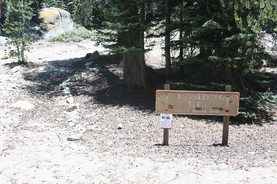 |
|||
Point J - 6.86 miles. Just before you pass a small meadow on your left there is another Summit Trail sign on your left. This made sense to me, but just on the other side of the meadow (Point K) is where I got somewhat confused. But first, as you pass by the meadow on your left look at the pool in the creek off to your right, you should see some yummy looking trout swimming around in there. Just on the other side of this meadow I was expecting to pick up the Summit Trail on the right hand side of the road. I was quite surprised to see it heading off northwest at Point K from the left side of the road. After really spending some time comparing between my small scale USGS map and the large scale Forest Service map things started to come together. I assumed at this point that the USGS map was outdated, but I should still be able to pick up the Summit Trail just above White Meadow at Point 0, where both of maps agree that there should be a trail there. |
|||||
 |
Point M - At 8.04 miles you come to the junction of 20S71 which heads out to the Jordon Lookout. You will continue straight here. But look closely down the road to Jordon Peak and you will see a sign showing that the Summit trail crosses here. This correlated to the Forest Service map and I felt confident about the plan to pick up the trail further up the mountain. |
 |
|||
 |
 Point
N - At
8.47 miles, you come to a split in the road. You will continue
straight and uphill. If you are wondering why I did not
mention that trail at Point N on the map, it is because I did not even see
it on the climb up. I was not expecting to see a trail again
until above White Meadow. I continued climbing from here. Point
N - At
8.47 miles, you come to a split in the road. You will continue
straight and uphill. If you are wondering why I did not
mention that trail at Point N on the map, it is because I did not even see
it on the climb up. I was not expecting to see a trail again
until above White Meadow. I continued climbing from here. |
 |
|||
 Point O - At 9.58 miles you peak out
on 21S50 at 8,575 feet. This is 1.5 miles from the Summit
Trailhead at the end of the road but it was also about 500 feet worth of
elevation drop that would just have to be regained on the singletrack coming back to this
point. I looked around quite a bit and did not see any
Summit Trail signs anywhere near here. I did however find
a very underutilized trail right where both the Forest Service and USGS maps
said it should be. Point O - At 9.58 miles you peak out
on 21S50 at 8,575 feet. This is 1.5 miles from the Summit
Trailhead at the end of the road but it was also about 500 feet worth of
elevation drop that would just have to be regained on the singletrack coming back to this
point. I looked around quite a bit and did not see any
Summit Trail signs anywhere near here. I did however find
a very underutilized trail right where both the Forest Service and USGS maps
said it should be. |
 |
||||
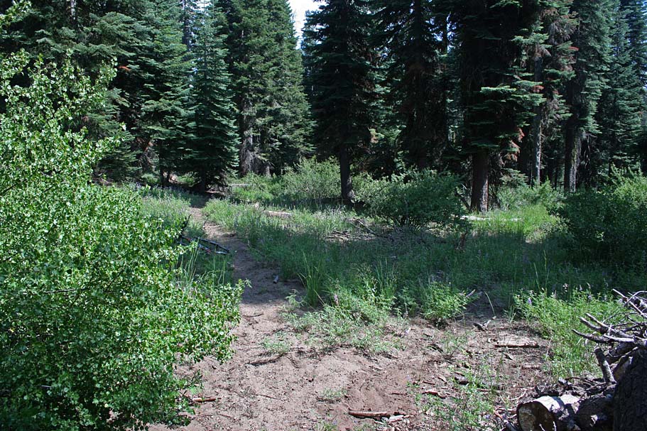
 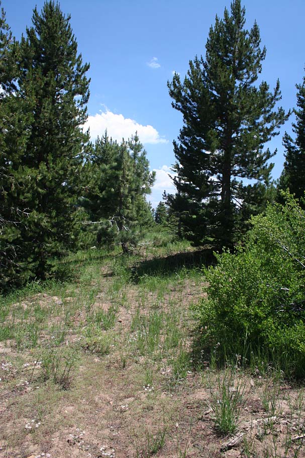 I
took this trail and within a hundred yards I had to climb over some
deadfall before rolling out onto the edge of White Meadow. The trail
suddenly just disappeared It took several minutes of looking around closely
and walking around before I made out the faint traces of the trail bed.
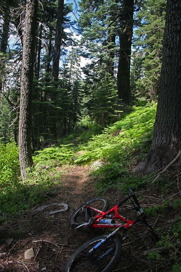
Can you see the trail in picture on the right? Once I found the
trail it also took a couple of interesting minutes to find my bike as even
though it is bright red it tucked in quite well into the tall grass and skunk
cabbage of the meadow. Once reunited with my bike and back on
the trail I traveled all of 50 yards before the trail just abruptly stopped
in dense thorny undergrowth just after crossing an old logging road. I
looked around quite a bit along the logging road within 100 yards of where
the trail came out at and could not find any other discernable route.
At this point I decided to get back on 21S50 and "reacquire" the trail
at Point M where I knew it was signed. The old logging road brought
me back onto the main road almost directly east of the Point P. I
took this trail and within a hundred yards I had to climb over some
deadfall before rolling out onto the edge of White Meadow. The trail
suddenly just disappeared It took several minutes of looking around closely
and walking around before I made out the faint traces of the trail bed.
Can you see the trail in picture on the right? Once I found the
trail it also took a couple of interesting minutes to find my bike as even
though it is bright red it tucked in quite well into the tall grass and skunk
cabbage of the meadow. Once reunited with my bike and back on
the trail I traveled all of 50 yards before the trail just abruptly stopped
in dense thorny undergrowth just after crossing an old logging road. I
looked around quite a bit along the logging road within 100 yards of where
the trail came out at and could not find any other discernable route.
At this point I decided to get back on 21S50 and "reacquire" the trail
at Point M where I knew it was signed. The old logging road brought
me back onto the main road almost directly east of the Point P. |
|||||
 |
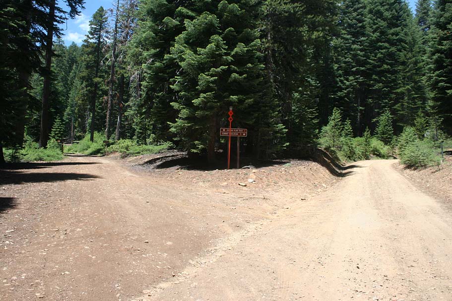
While heading back down 21S50, just after the the split in the road at Point N a trail came right into view off to my left (downhill side of the road). At first I wondered how did a miss that, but then looking at it a second time it was easy to see how I missed going up hill. I then noticed the trail I had lost earlier coming in from the uphill side of the road. I then noticed a second trail sign posted up a little higher than my normal "eye scan" height. It simply said trail. I latter found out that these signs were put up higher so that they would not get buried below the snow in winter. With two to three feet of snow these signs would be right at eye height for most people. | 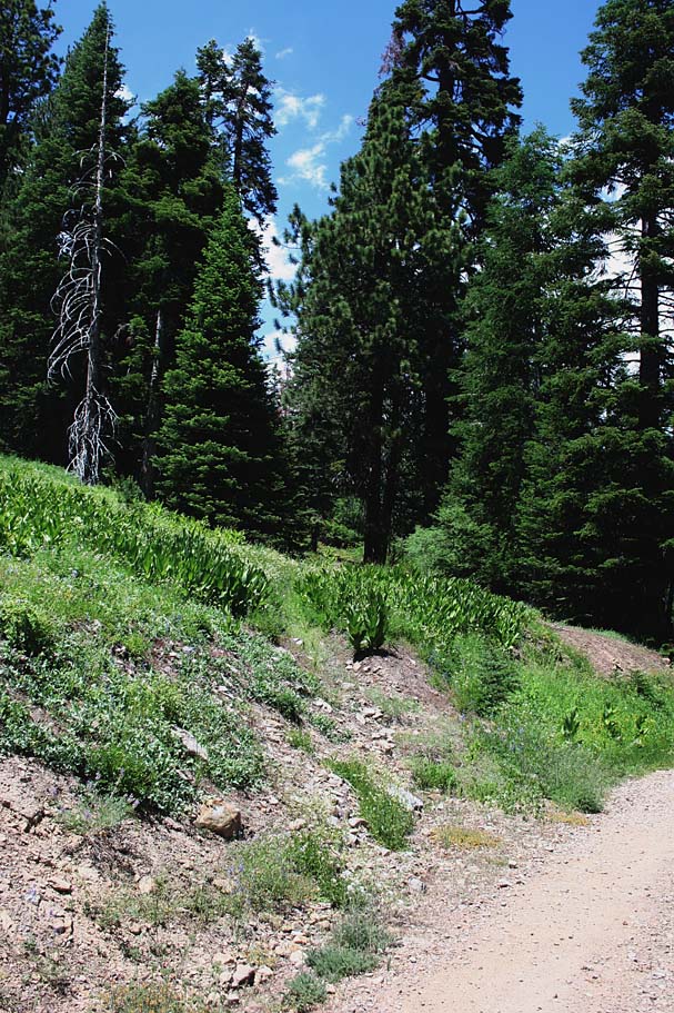 |
|||
 |
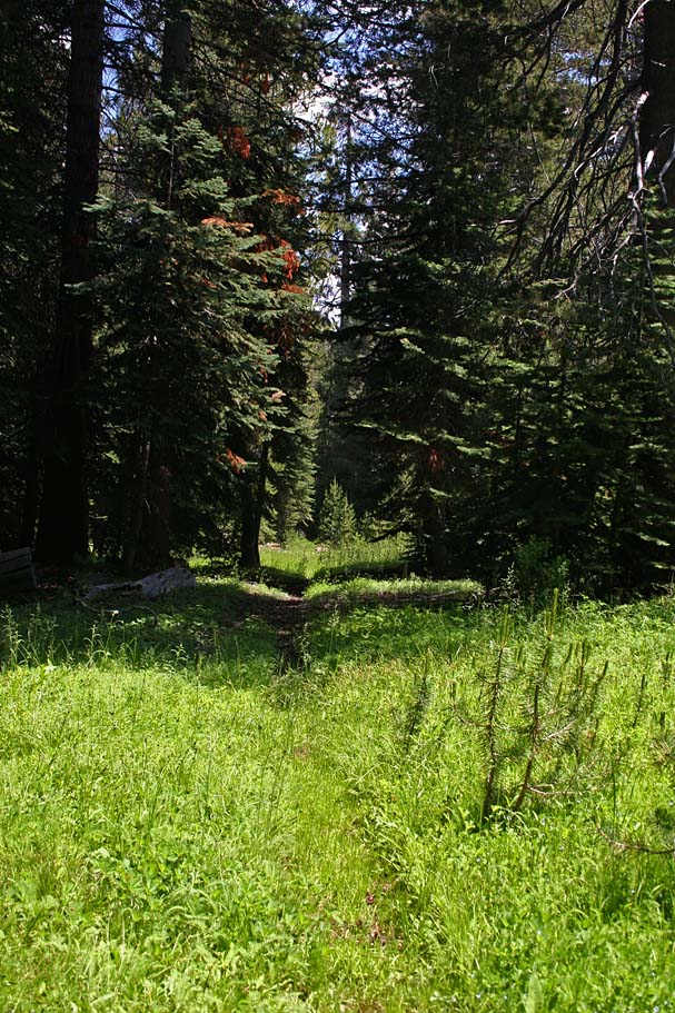
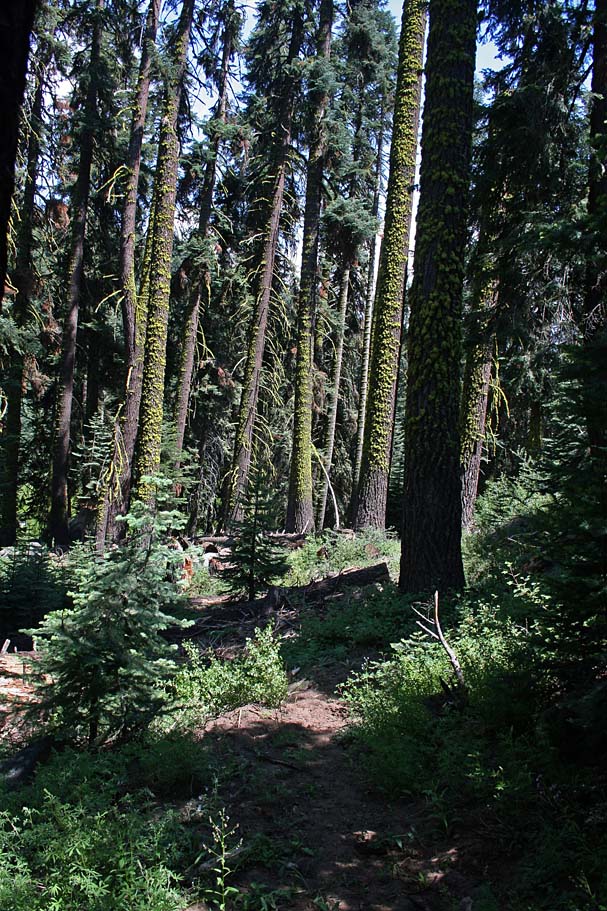
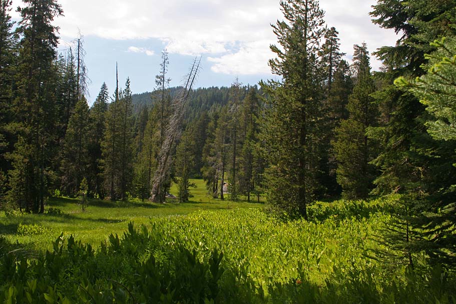
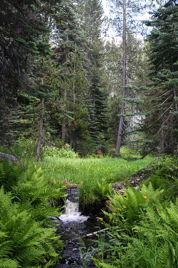
I thought about taking the old trail back uphill just to make the connection, but I ready for some downhill singletrack. I took off down the old trail and while it had glorious lines and flow it was also had numerous deadfall and small branch "spoke killers". It is still early in the summer season of trail maintenance so hopefully this trail will see a little work. The deadfall looked to be accumulated over the last year so hopefully it will be cleared over the summer. Whenever I was not climbing over a log I was loving it. The picture to the left is the trail near the top (Yes the trail is right in the middle of the picture). The picture on the right is a section near the bottom where it cut through a small meadow. Where the trail came out at Point L is somewhat hidden when you are coming up the road. |
 |
|||
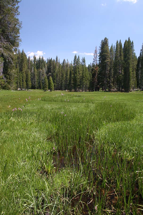 |
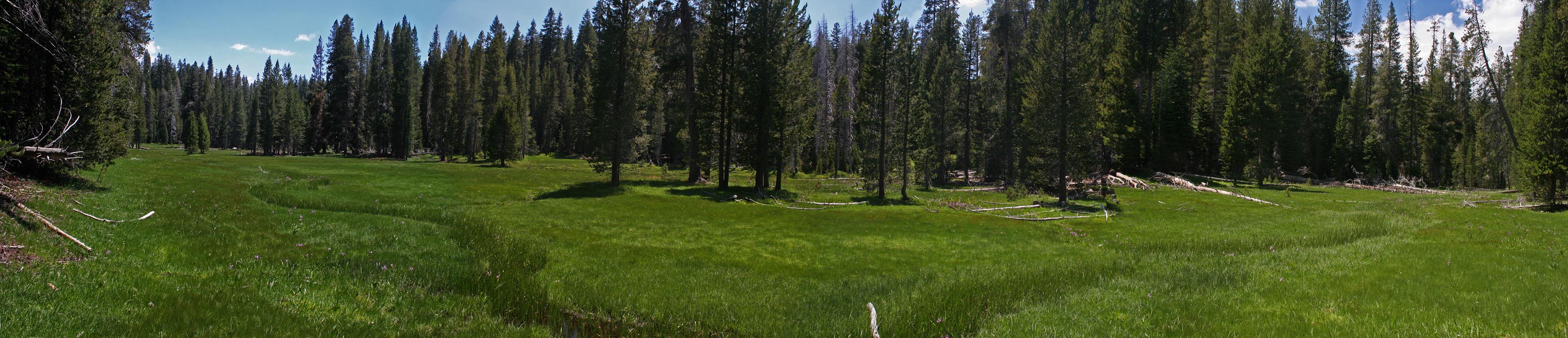
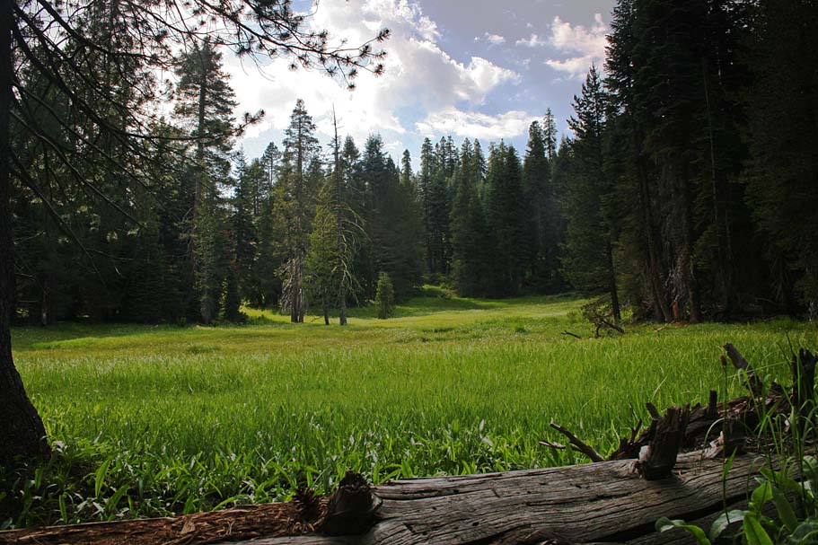
After rolling out onto the road at Point L, I continued downhill and hung a right onto the Summit Trail at Point J. The first thing I noticed is that this section get a little equestrian traffic which combined with a bit of decomposed granite soil slowed you down a bit. This section of trail brings you out onto the Log Cabin Meadow (Which may also be called Osa Meadow from some of my readings of the area). It was quite pretty. | ||||
|
|
|||||
|
This is either the Log Cabin or Osa Meadow. |
|||||
 |
There was more deadfall to content with here, some of them be really big firs. This section was also slightly uphill. The slightly loose soil covered with small branches and twigs combined with some really big trees across the trail made for a frustrating but pretty 1/2 mile effort up to Point P where the trail crossed 20S81. |
 |
|||
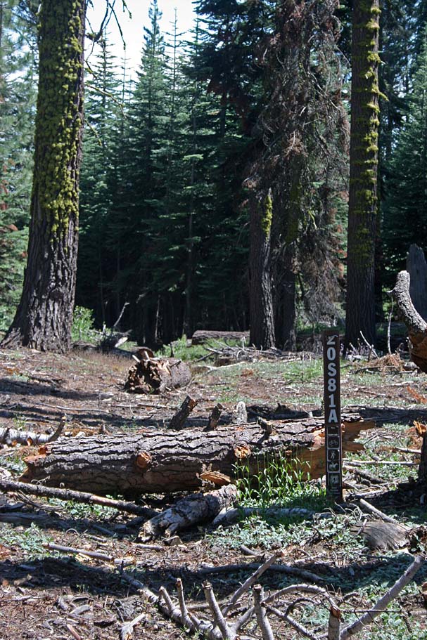 |
The picture on the left shows a trail labeled 20S81A. I really do not know why this is here, but the Summit Trail continues on directly where my camera is pointing. The next section was one of my favorites of the entire route. No deadfall, and it was steep enough with a few rocks here and there to keep you on your toes as well as having some absolutely incredible forested views as you descend into Smith and Failing Meadow. The picture on the right shows a point where you are going to want to bear to the left as the trail is easily missed and enough people have missed to create a short lived false trail. | 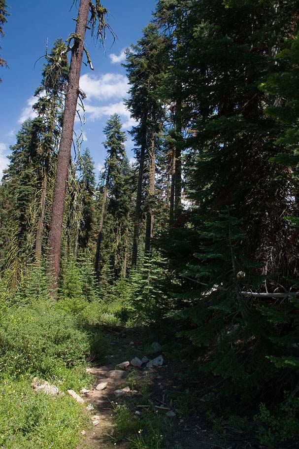 |
|||
  The
trail drops you down along the western side of a small meadow where you
somewhat so stay above it before descending for a short distance into the far northern
end of the much larger Smith and Failing Meadow. There are a couple of
large fallen trees across the creek as the trail comes out into the meadow at Point Q.
Look at the large tree that is still standing next to the two other fallen
trees that create a nature bridge. There is a sign on this tree
(Pictured to the left) pointing you to go left for the Summit Trail.
At first I was like "What Freaking Trail?" It was not until I crossed
the log and walked along the edge of the meadow on the east side of the
small creek did I pick up the trail about 20 yards downstream of the sign.
The next 1/2 miles section was quite frustrating with lots of small debris
and large downfall slowing up progress. However, the meadow off to the
west was quite pretty. The
trail drops you down along the western side of a small meadow where you
somewhat so stay above it before descending for a short distance into the far northern
end of the much larger Smith and Failing Meadow. There are a couple of
large fallen trees across the creek as the trail comes out into the meadow at Point Q.
Look at the large tree that is still standing next to the two other fallen
trees that create a nature bridge. There is a sign on this tree
(Pictured to the left) pointing you to go left for the Summit Trail.
At first I was like "What Freaking Trail?" It was not until I crossed
the log and walked along the edge of the meadow on the east side of the
small creek did I pick up the trail about 20 yards downstream of the sign.
The next 1/2 miles section was quite frustrating with lots of small debris
and large downfall slowing up progress. However, the meadow off to the
west was quite pretty. |
|||||
 |
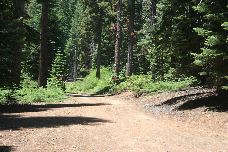
As you put the meadow behind you will cross a very old road at Point R. Within 30 yards of crossing that road there is a split in the singletrack, take the left fork which is also the most predominant trail. The split is pictured to the left. | ||||
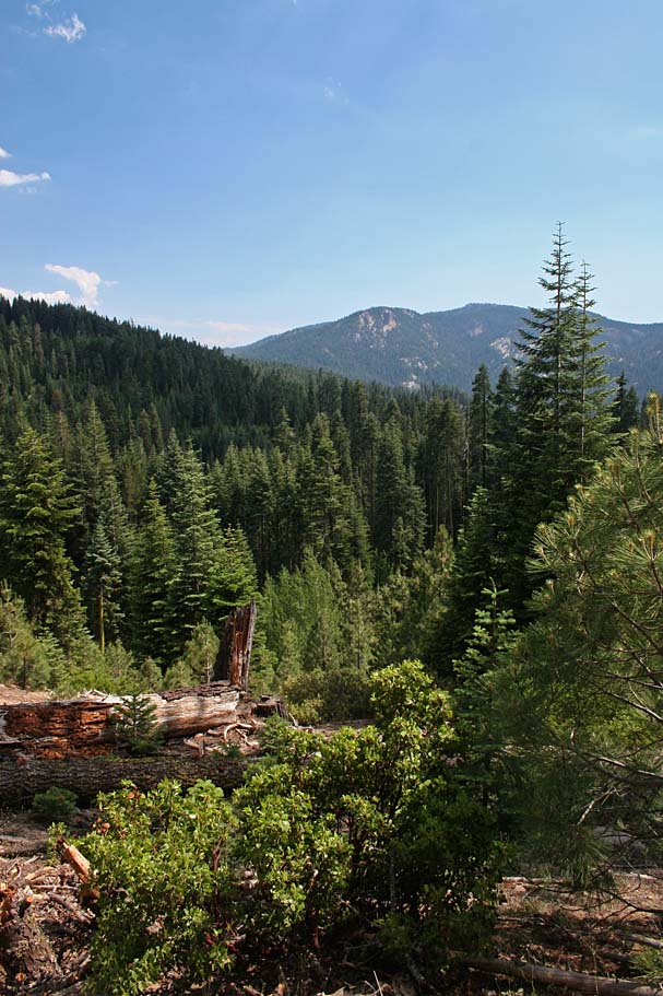 |
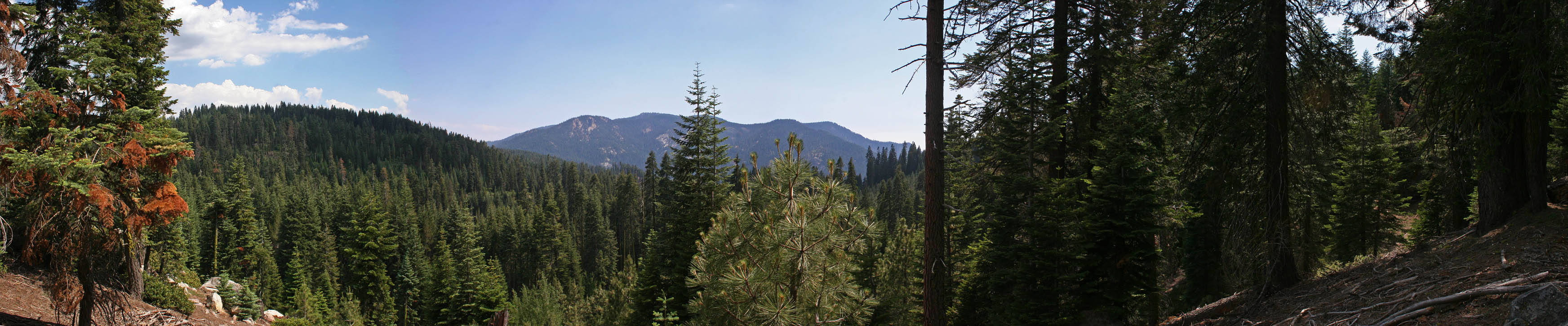
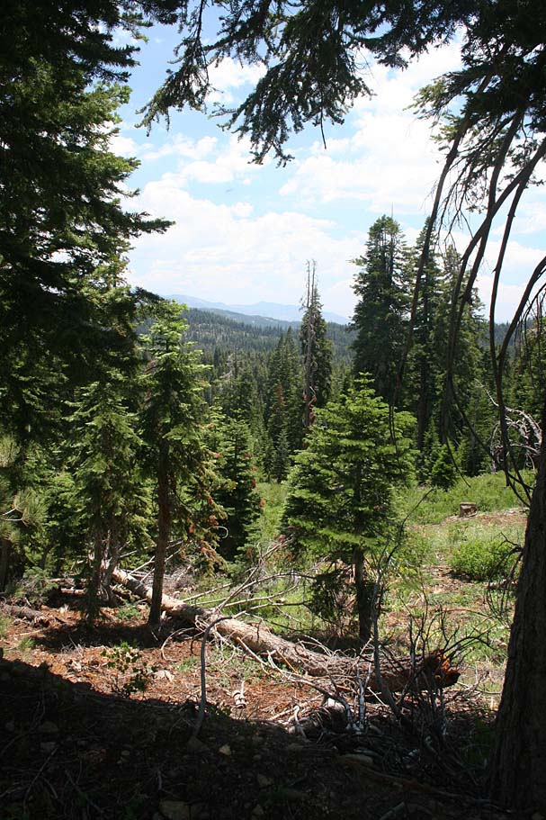
The next 3/4ths of a mile was exceptional. It was downhill with nice trail features, pristine views, and I think only one or two or two downfalls. There were a couple of sections on the ridgeline that got a little loose simply from the soil composition, but it is barely worth mentioning. | 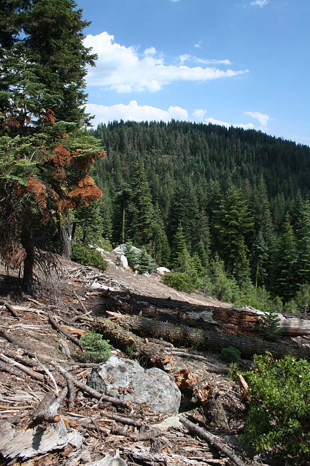 |
|||
|
|
|||||
  The
downhill fun brings you out to Boulder Creek at Point T.
The creek is quite picturesque and there is a primitive campsite next to the
creek.
If you look down hill you will see a dirt road, this is 20S75 that you
passed by on your climb up the road at Point D. Unless you are
absolutely dead at this point and have to bail out, do not hop on the road. You will bypass
a pretty cool section. Look upstream where the Summit Trail
follows the creek. This is the way you want to go. The
downhill fun brings you out to Boulder Creek at Point T.
The creek is quite picturesque and there is a primitive campsite next to the
creek.
If you look down hill you will see a dirt road, this is 20S75 that you
passed by on your climb up the road at Point D. Unless you are
absolutely dead at this point and have to bail out, do not hop on the road. You will bypass
a pretty cool section. Look upstream where the Summit Trail
follows the creek. This is the way you want to go.
|
|||||
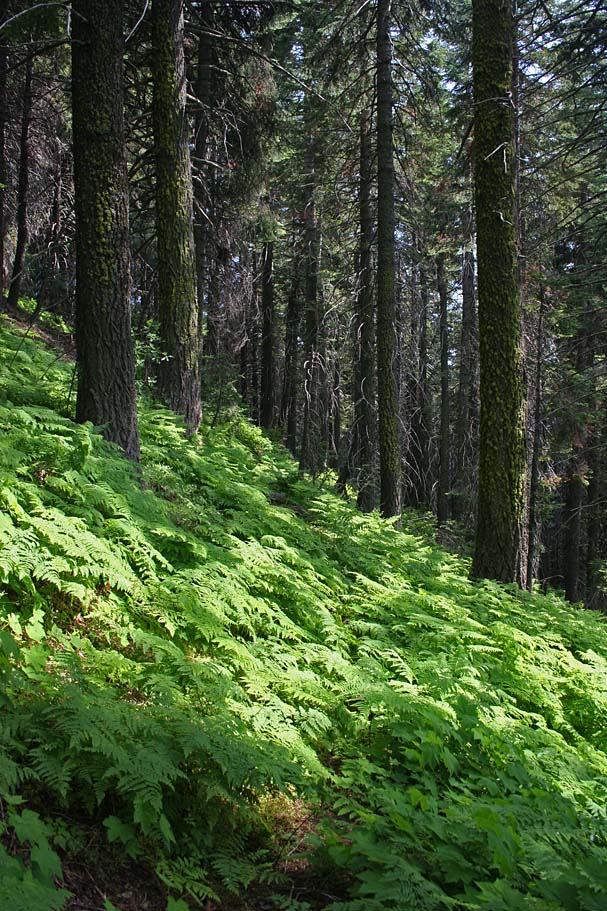 |
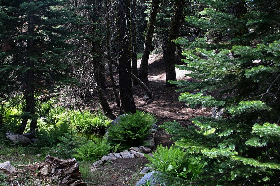
The trail quickly turns away from creek and you get the pleasure of grunting up a short but steep pitch where the 31E14.2/33E01 trail connector you passed at Point F earlier in the day joins this trail. From this point the climbing really mellows out into shallow undulations along a steep forest hillside of red firs with a really cool fern undergrowth. Additional there are some nice views to the west to take in between the trees for the next 1/2 mile. | 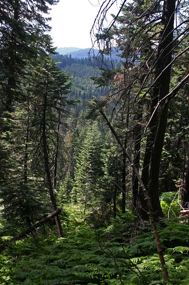 |
|||
 |
This real treat of a trail section dumps you out onto 20S75 at Point U. Follow this road uphill for .13 miles and pickup the signed Summit Trail off to your right at the top a very small meadow. Do not take the extremely small unsigned trail at the downhill end of this meadow. It dies off really quickly. | ||||
 Back
on the Summit Trail, you have to put in about 1/10th of a mile of slightly
moderate grunting uphill before you get to turn downhill for a little under
a 1/2 mile where you come out onto to Coffee Mill Meadow. The trail
will have you tip-toeing across some logs over a squishy creek going through
the meadow, but you are soon back on the wheels where you will do some mild
climbing for a 1/4th of a mile where the trail comes out on the forest service
road you passed by at Point B earlier in the day. Turn to your right
on the forest road and it will soon bend around to your left and south
following along a meadow on your right. At the end of that meadow (Point
V), the road ends and singletrack continues straight through a cattle gate
(Close behind you). The singletrack from this point is downhill and
narrow with some switchbacks and numerous spots where the brush is
encroaching into the trail. This section is quite a blast It dumps
you out onto highway 190 where you cross the street and get on the Camp
Nelson Trail. Turn left and cross the Meadow where the trail will go
uphill and take you into the Quaking Aspens campground. Your
mileage should be around 18 miles. Back
on the Summit Trail, you have to put in about 1/10th of a mile of slightly
moderate grunting uphill before you get to turn downhill for a little under
a 1/2 mile where you come out onto to Coffee Mill Meadow. The trail
will have you tip-toeing across some logs over a squishy creek going through
the meadow, but you are soon back on the wheels where you will do some mild
climbing for a 1/4th of a mile where the trail comes out on the forest service
road you passed by at Point B earlier in the day. Turn to your right
on the forest road and it will soon bend around to your left and south
following along a meadow on your right. At the end of that meadow (Point
V), the road ends and singletrack continues straight through a cattle gate
(Close behind you). The singletrack from this point is downhill and
narrow with some switchbacks and numerous spots where the brush is
encroaching into the trail. This section is quite a blast It dumps
you out onto highway 190 where you cross the street and get on the Camp
Nelson Trail. Turn left and cross the Meadow where the trail will go
uphill and take you into the Quaking Aspens campground. Your
mileage should be around 18 miles. |
|||||
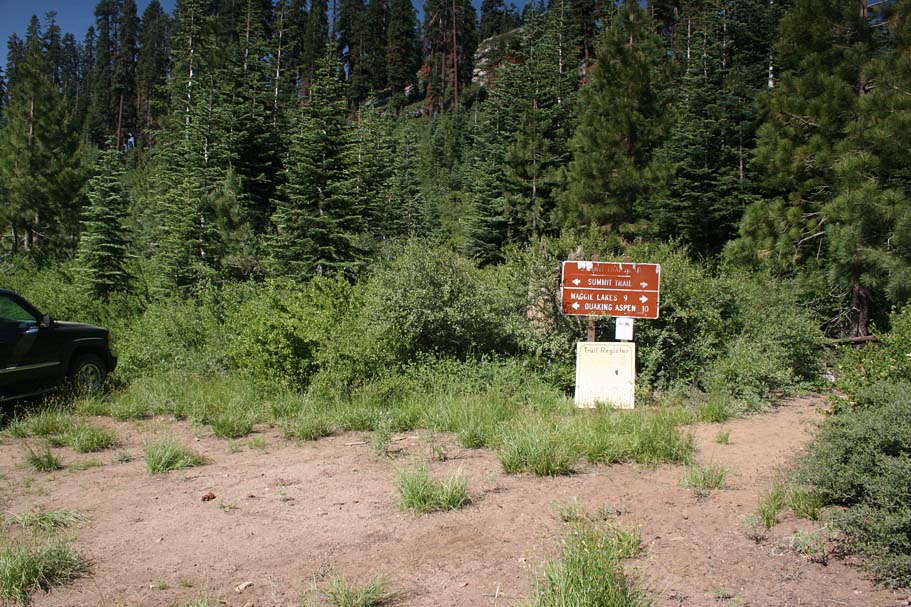 |
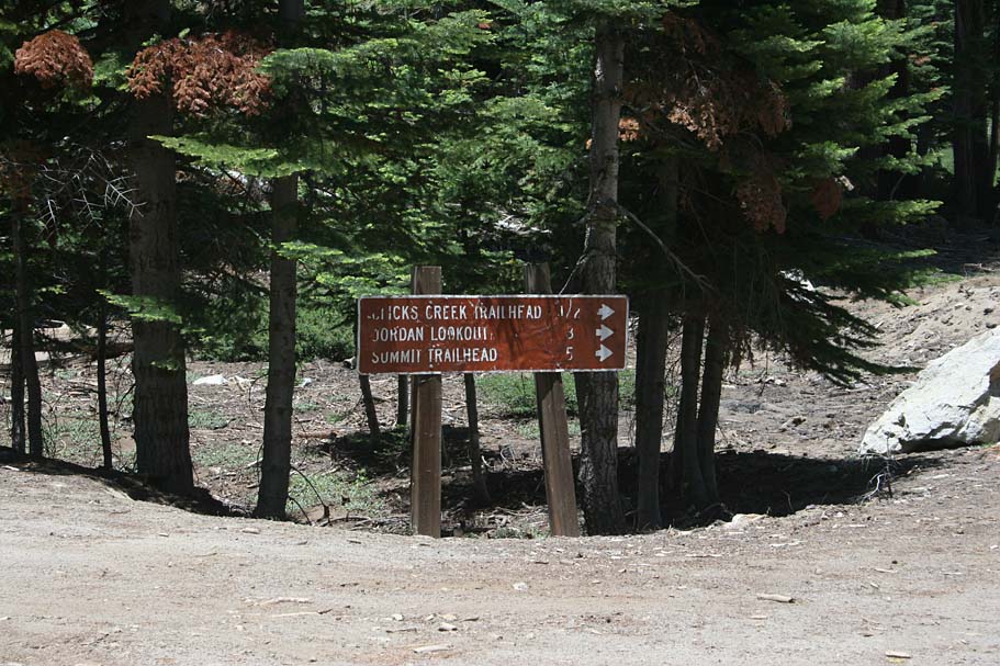
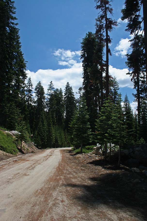
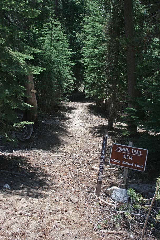
Post Ride Notes: The following day I drove all the way up to the Summit Trailhead at the border of the Golden Trout Wilderness area to take a look at the trailhead. I have annotated some of that stuff on the map. To the left is the trail head sign and to the right is the trail heading south. | 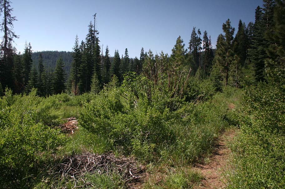 |
|||