
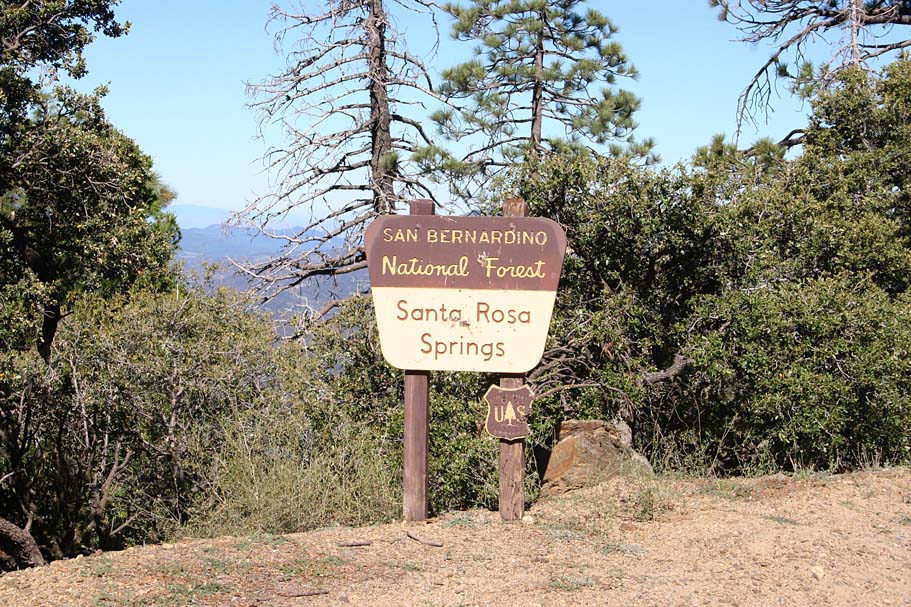
Santa Rosa Mountain and Toro Peak
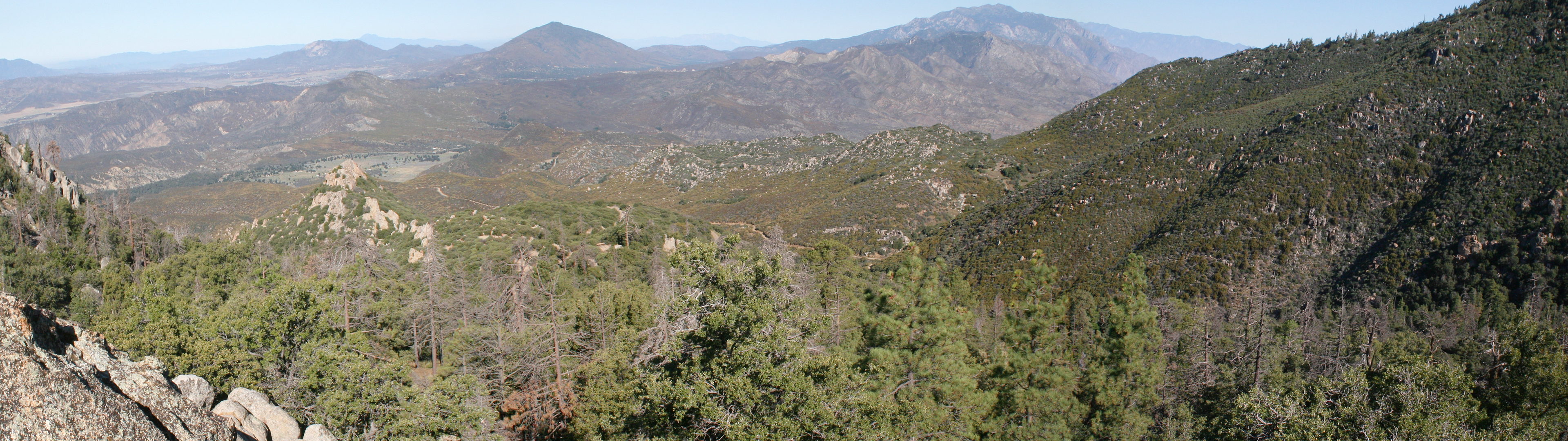
Located between Idyllwild and Palm Springs the 13 mile dirt mountain road up to Santa Rosa mountain and beyond to Toro Peak is a ride where you get in some great exercise while taking in some of the most incredible views of the lower portion of southern California. You will start out at around 4,600 feet and climb to 8,716 feet at Toro Peak. The climbing is not particular steep for the most part until you are nearly at Toro Peak. You will be working but it is mild enough that you can enjoy your surroundings as you make your way up the mountain. If you are willing to do a bit of pavement grinding on Highway 74 to connect trailheads you can add in the Sawmill trail to form an nice mountain loop.
Santa Rosa - Toro Peak Out and Back: (21mi, 3,800'⬆)
Santa Rosa - Sawmill Loop (25mi, 4,200'⬆)
Tour De Santa Rosa Mountain (30mi, 5,100'⬆)

- Santa Rosa Mountain Road (FS 7S02)- For OAB route

- Sawmill/Catcus Springs Trailhead: For the loops
Hazards: The weather has been known to change rapidly at the higher elevations. In the spring and fall you could find snow up top. Vehicles are allowed on this road which will not be a big deal on the climb, but on your blazing return you will want to keep an eye out. If you are including the Sawmill trail in your loop, you will have to content with traffic on Highway 74 which has some bad sightlines for drivers and no to limited shoulders for the you.
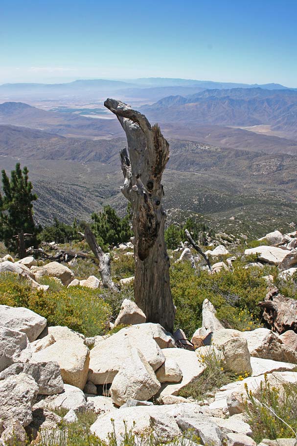
TORO Peak Access: In September of 2009 it was brought to my attention by a lawyer representing the Santa Rosa Band of Cahuilla Indians that the land around the summit of Toro Peak is part of the tribe's reservation lands. Since my original posting of this page in 2005, they have added signs to alert the public to the fact you will be trespassing if you go all the way to the peak. From what I have gathered you would cross onto the reservation lands shortly after the fork in the forest road at 12.8 miles. This is roughly halfway between SR-21 and SR-22 way points on my map. You can find numerous printed guidebooks and online resources that make no mention of the land ownership and access issues. Since 2009 the concern with keeping the public off of Toro Peak has waxed and waned but you will most likely find a gate across the road near the summit. Hopefully my photos of this truly magnificent peak will satisfy your curiosity because you will be trespassing if you climb the last mile or so to the summit yourself. Also don't forget to check out one my early additions to this site.
Ride Report: NOTE: You will see waypoints SR-XX mentioned the description below. Those correlate to waypoints on my old school map. Those are not on the GPX or Trailforks map/route. There is a good chance you will not have service for most of this route so save my PDF and download this region in you map app of choice.
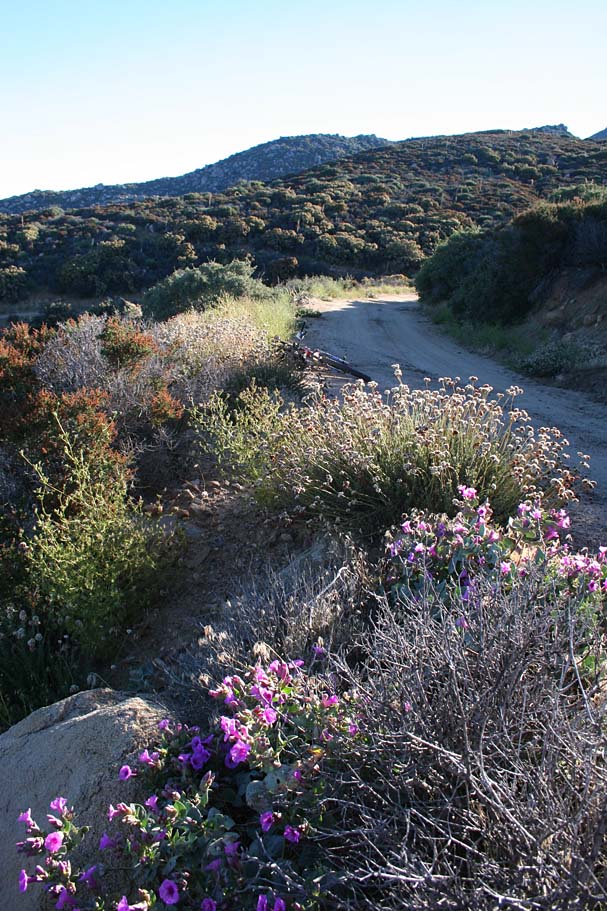
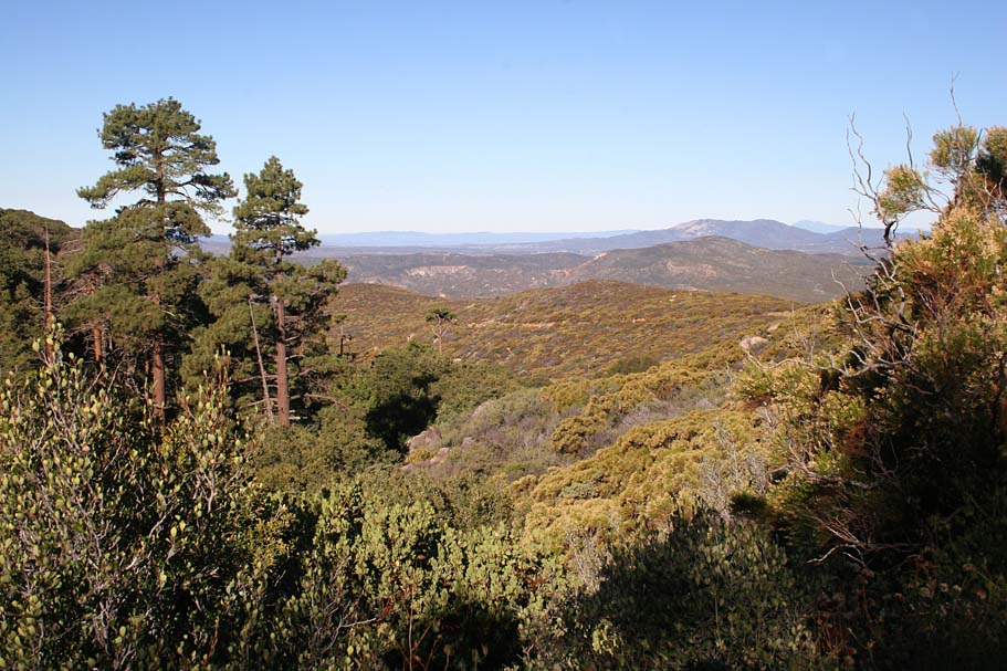
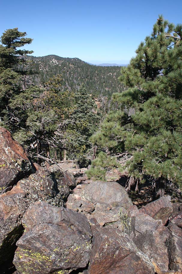
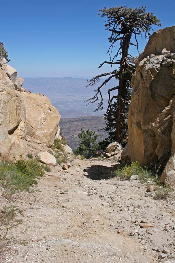
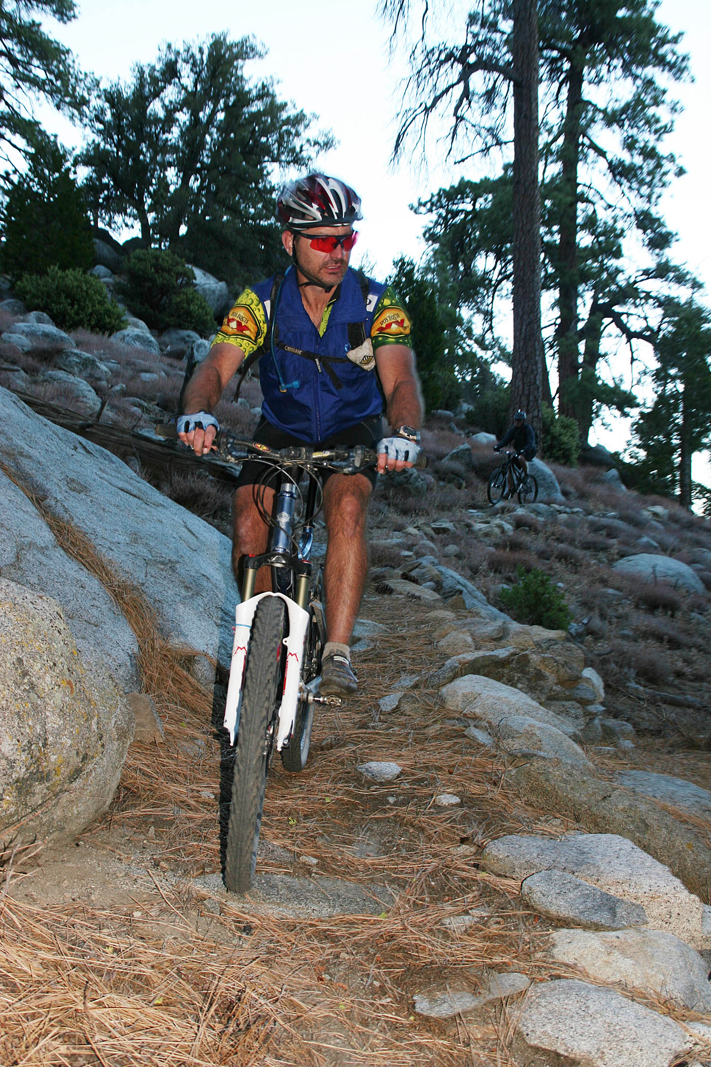
The first time I did this ride in August of 2005 when it was well over 100 in Palm Springs. This ride has a reputation for being cool when everything else around is baking. The place lived up to that reputation. I started at the junction of the Santa Rosa Mountain Roadand Hwy 74 (SR-0) really early in the morning about 30 minutes after sunrise. I was actually a little chilled in the shade of the mountain when I started. The early morning light made for some very colorful scenes which the pictures do not provide full justice. At 1.7 miles I went over a saddle and descended for about 3/4ths of a mile. While I enjoyed the break in climbing, as I was still warming up, it is always a bit of bummer knowing you will just have to regain the elevation you are shedding off.
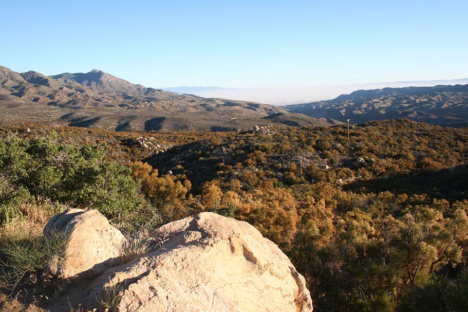
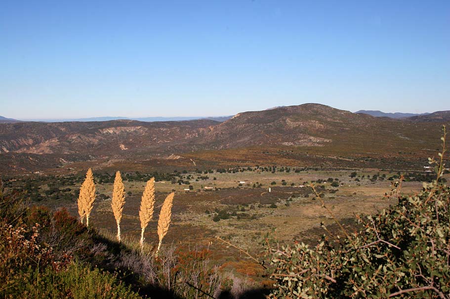
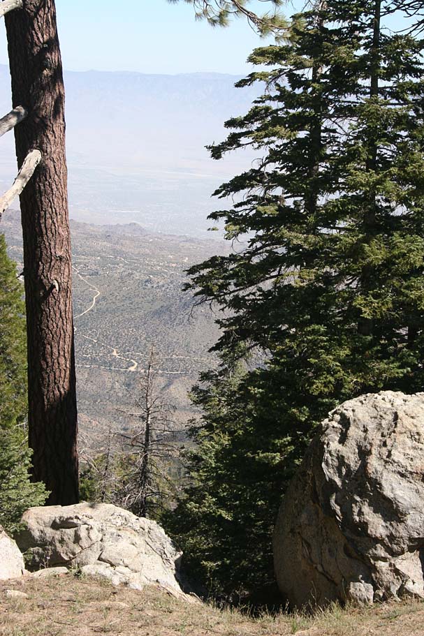
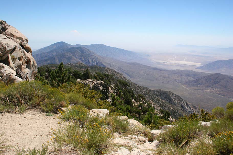
Once back onto the climbing the views of Vandeventer Flat to the south opened up.

There was a mild breeze blowing most of the day and the temperate only climbed a little for the better part of the climb as I was climbing in elevation as the temperate was rising so the two pretty much counteracted one another.
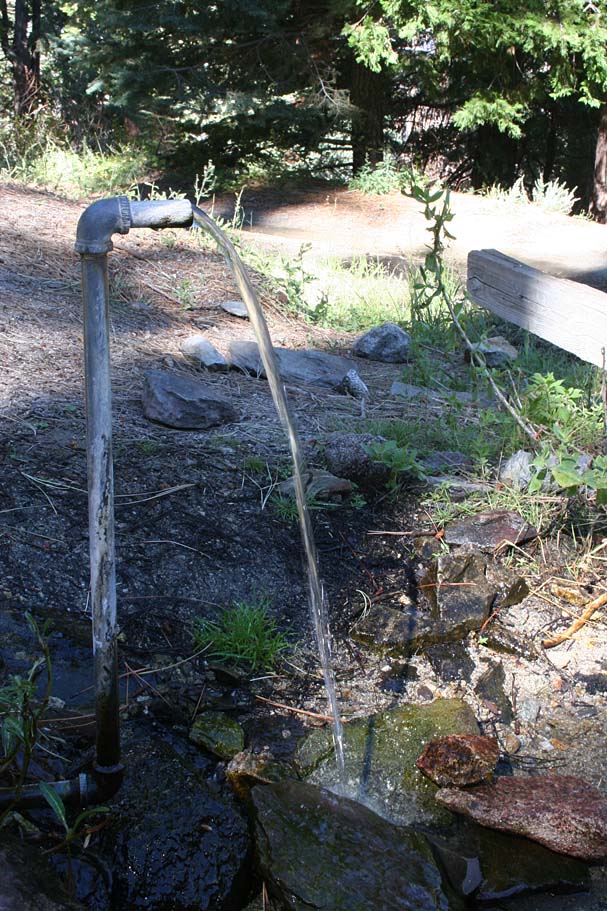
At around 8.5 miles you come to the turn off for Santa Rosa Springs on your left (SR-16). You will go downhill a couple hundred yards to the spring, a toilet and a few picnic tables. This is a great place to take a break and replenish your water as this is some of the best spring water you will find anywhere.
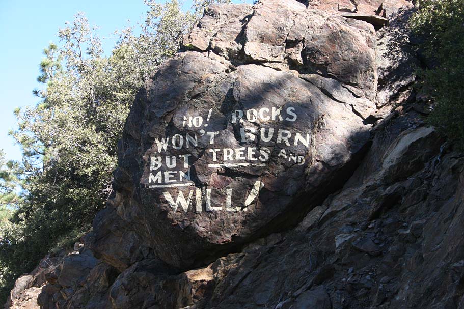
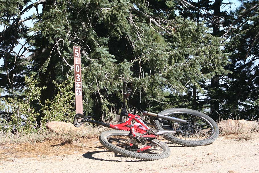
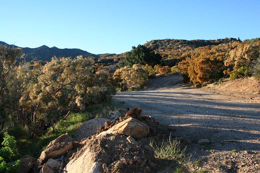
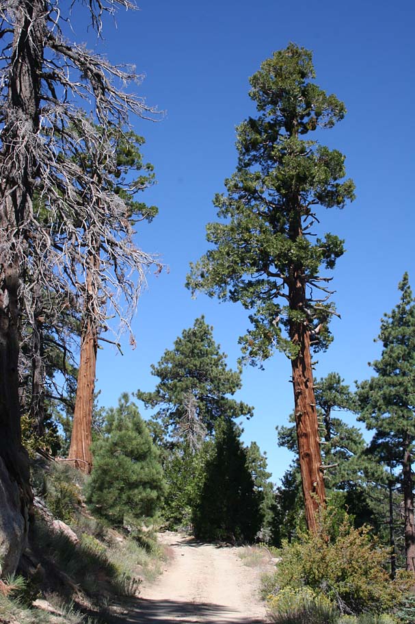
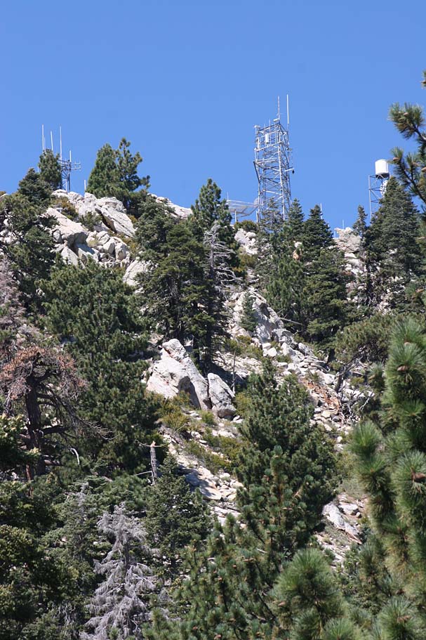
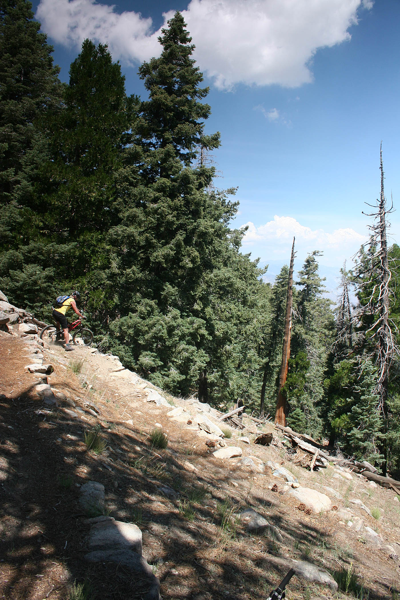
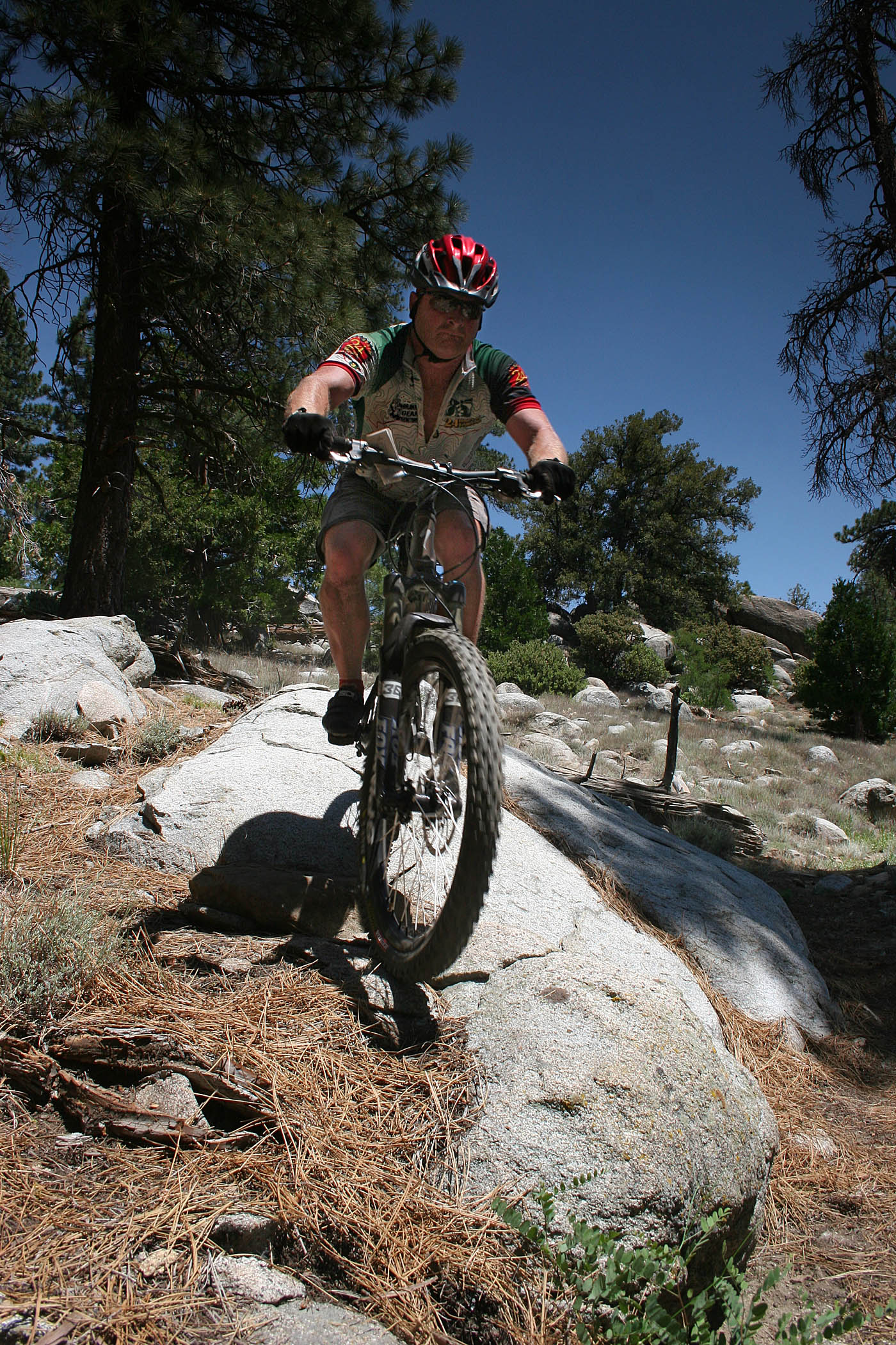
Less than a mile after the spring you will pass an interesting message painted on a large rock. You will see a few more of these public service announcements on your way up to Toro Peak so be looking out for them. Shortly after the rock, you pass by a fire road on your left that heads out to a radio tower (SR-17). The Sawmill trail is right here as well. If you are doing the Sawmill Loop without the Toro Peak option, this is your turn. (Description of Sawmill below) If you are heading out towards Toro Peak continue on. You are passing through 7,500 feet at this point and the climbing becomes much more gradual and the seemingly endless switchbacks are behind you.

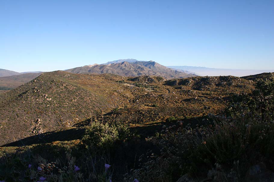
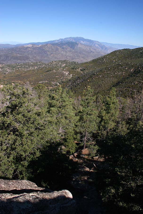
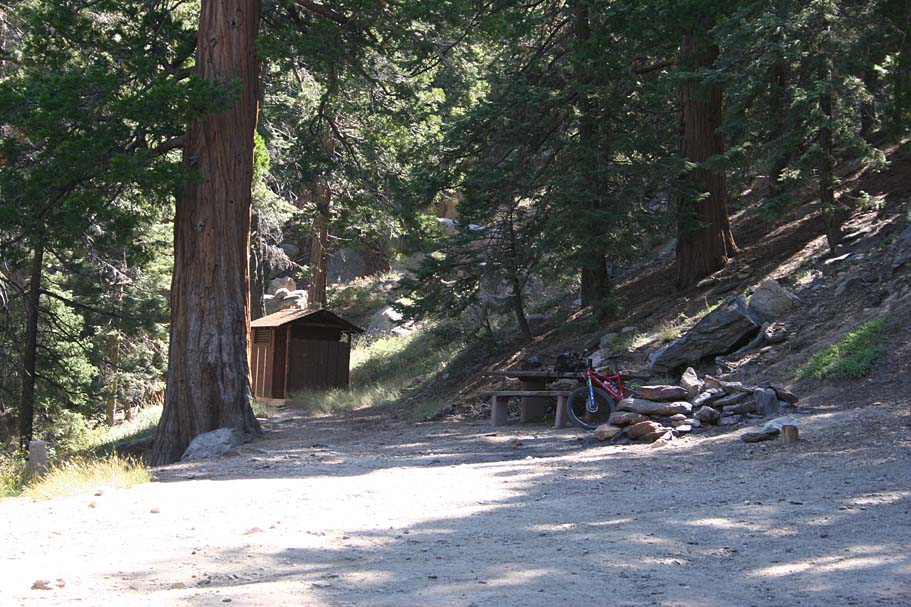
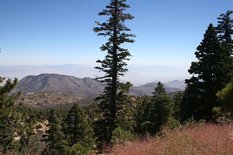
At around 11 miles you will pass Stump Springs Campground on your left. There is a fire road that leads off to the left. I continued on the main fire road past Stump Springs Campground. You will have a couple of gradual descents and rises for the next 1.8 miles. The road follows along the north side of the of the ridgeline now and the views in that direction becoming increasingly incredible.

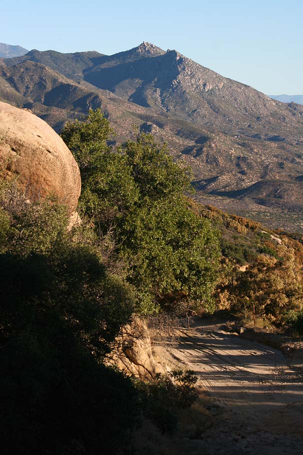
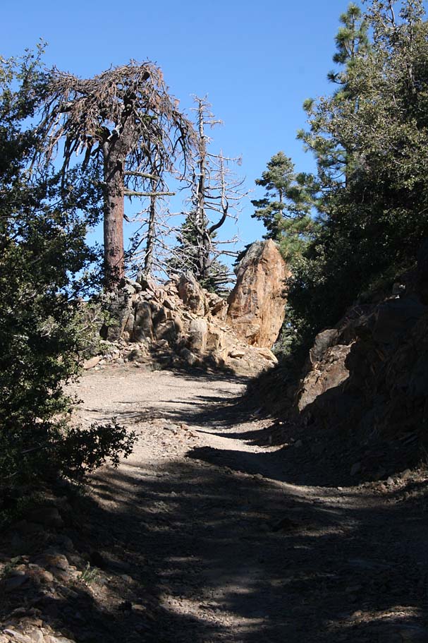
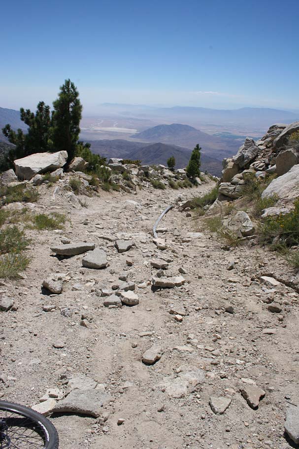
At 12.8 you will come to a split in the road. Go to the right and uphill to get to Toro Peak. The split in the road is very close to the Indian reservation boundary so access could be an issue beyond this point. If you are able to go beyond this point, the easy climbing is over now as you will soon get into some serious climbing. From here to the peak is a steep haul with the last half mile being quite brutal.
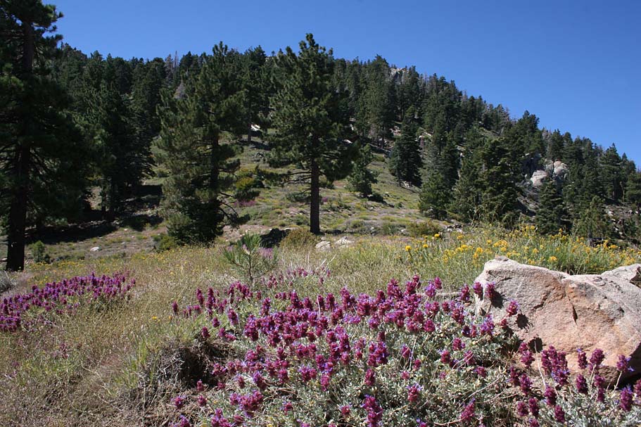
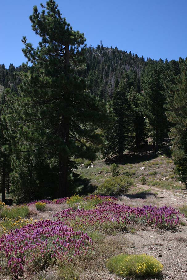

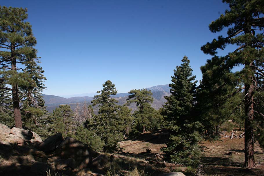
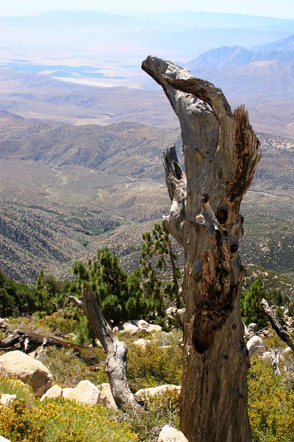
These views don't suck!
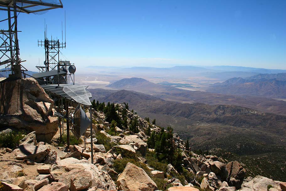
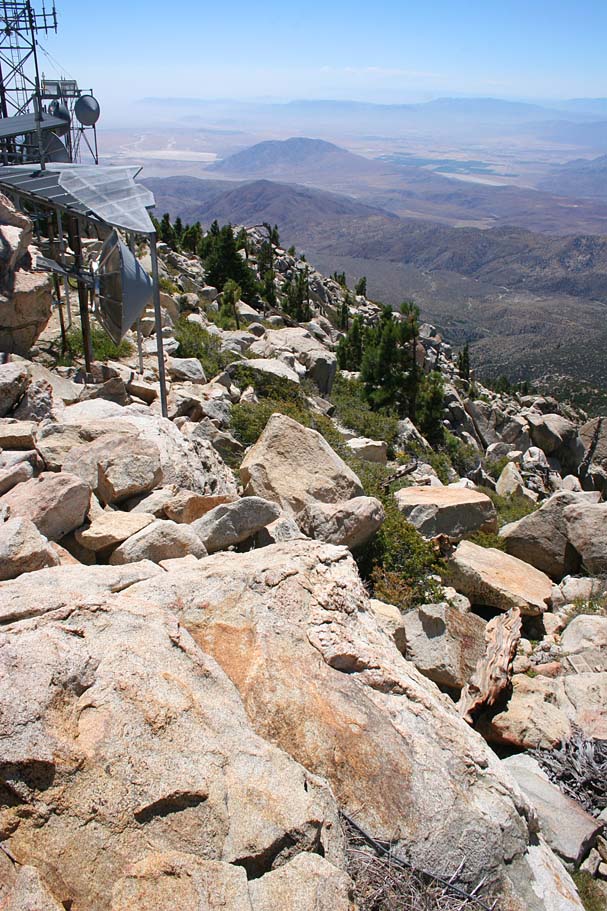
You know when you get to the final push up to Toro Peak as you will pass by some radio facility equipment at the bottom of a really steep, loose and rocky section. I call it the final push because you will most likely push your bike up it.

Views along the final push to Toro Peak
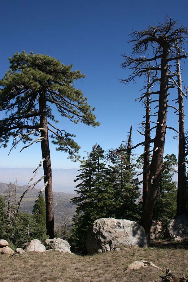
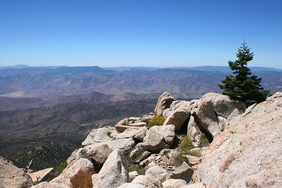
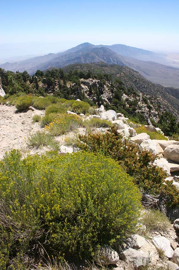
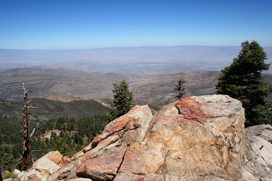
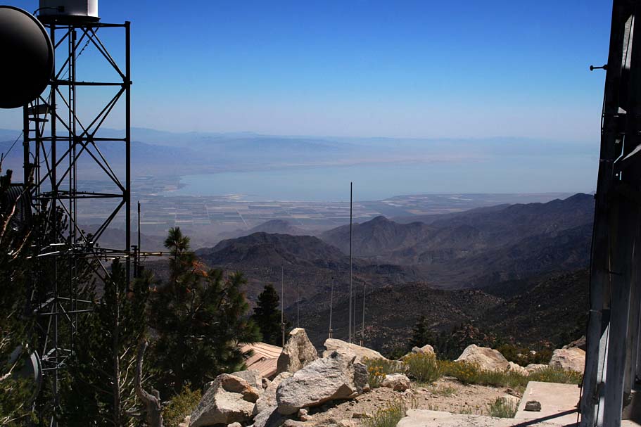
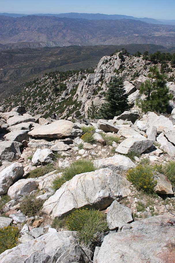
Once at the summit of Toro Peak at 8,716 feet and 13.8 miles into your ride, you are treated to absolutely breath taking views in all directions. While seating on the top rock you will be able to see the San Jacinto Mountains, San Gorgonio, Palm Springs, Palm Desert, The Salton Sea, The Anza Borrego Desert, The Laguna, Cuyamaca, and Palomar Mountains, Santiago and Mojeska peaks in the Santa Ana Mountains, and a score of other peaks.


This has to be one of the best spots in all of the Southern California to enjoy a well earned mid-ride snack, so save your good stuff for the peak.
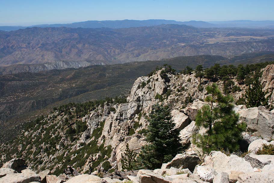

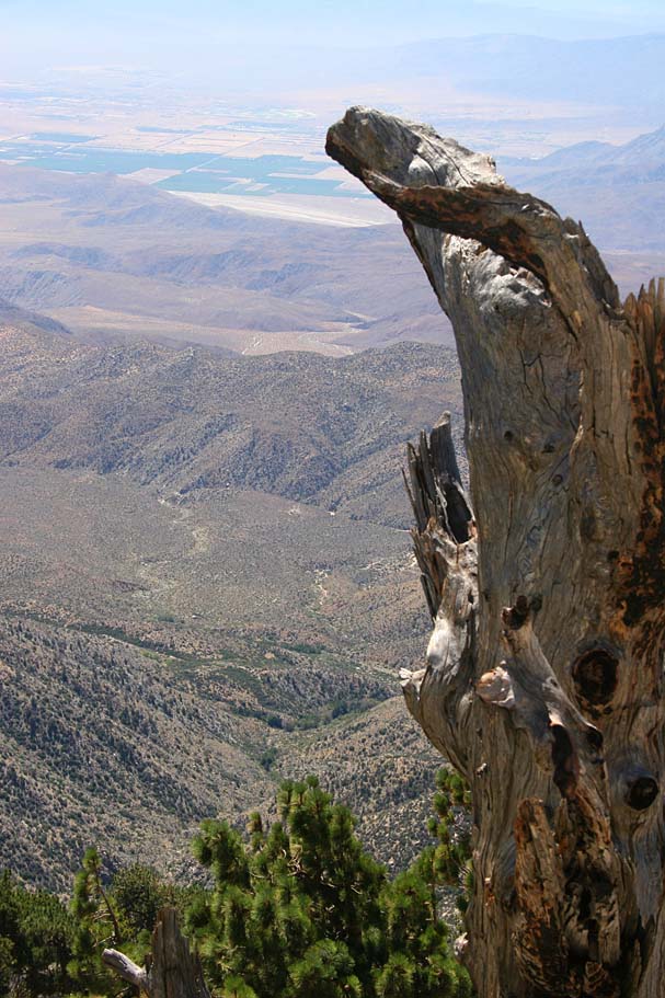
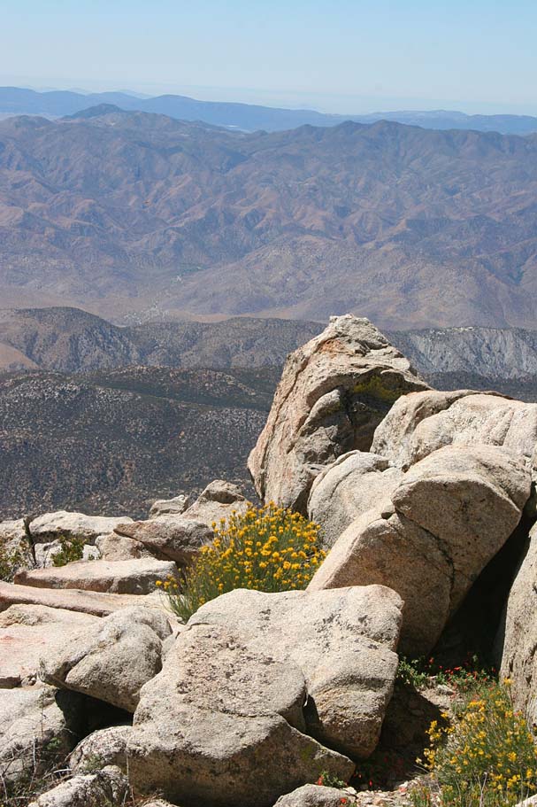
No shortage of great views from Toro Peak

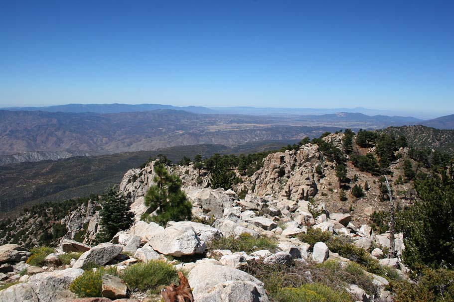
The picture to the left was taken looking down from where you came from. The picture on the right was taken from the spot pictured on the left looking up a the peak.
Once you taken in all of the beauty of Toro Peak you can stand in one setting head back the way you came. The descent down the final push is quite tricky and it will be you most technical thing you will do on this ride. The rest of ride back is mostly filled with a nearly endless blazefest descent with a couple of mild climbs in a few spots.
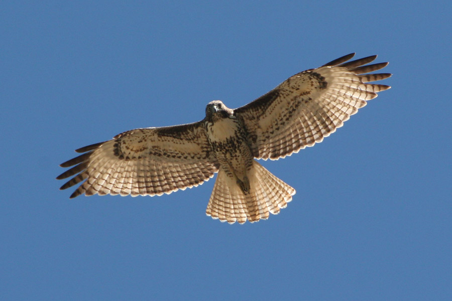
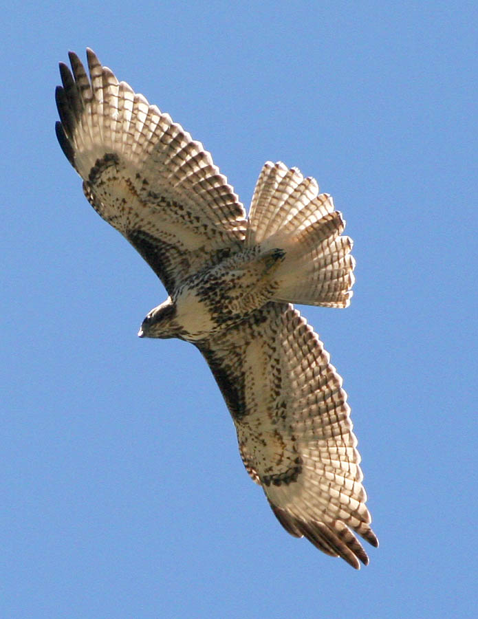
On my way back down the road I spotted a hawk enjoying the thermals so I stopped and took a few picture s of this beautiful bird. There is a multitude of places where you can just enjoy all there is to see so take a break at least one on the way down. The place is so pretty it is worth the stop.
The Sawmill Trail Loop Option

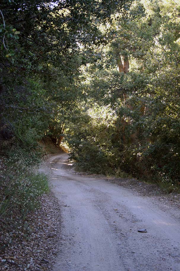
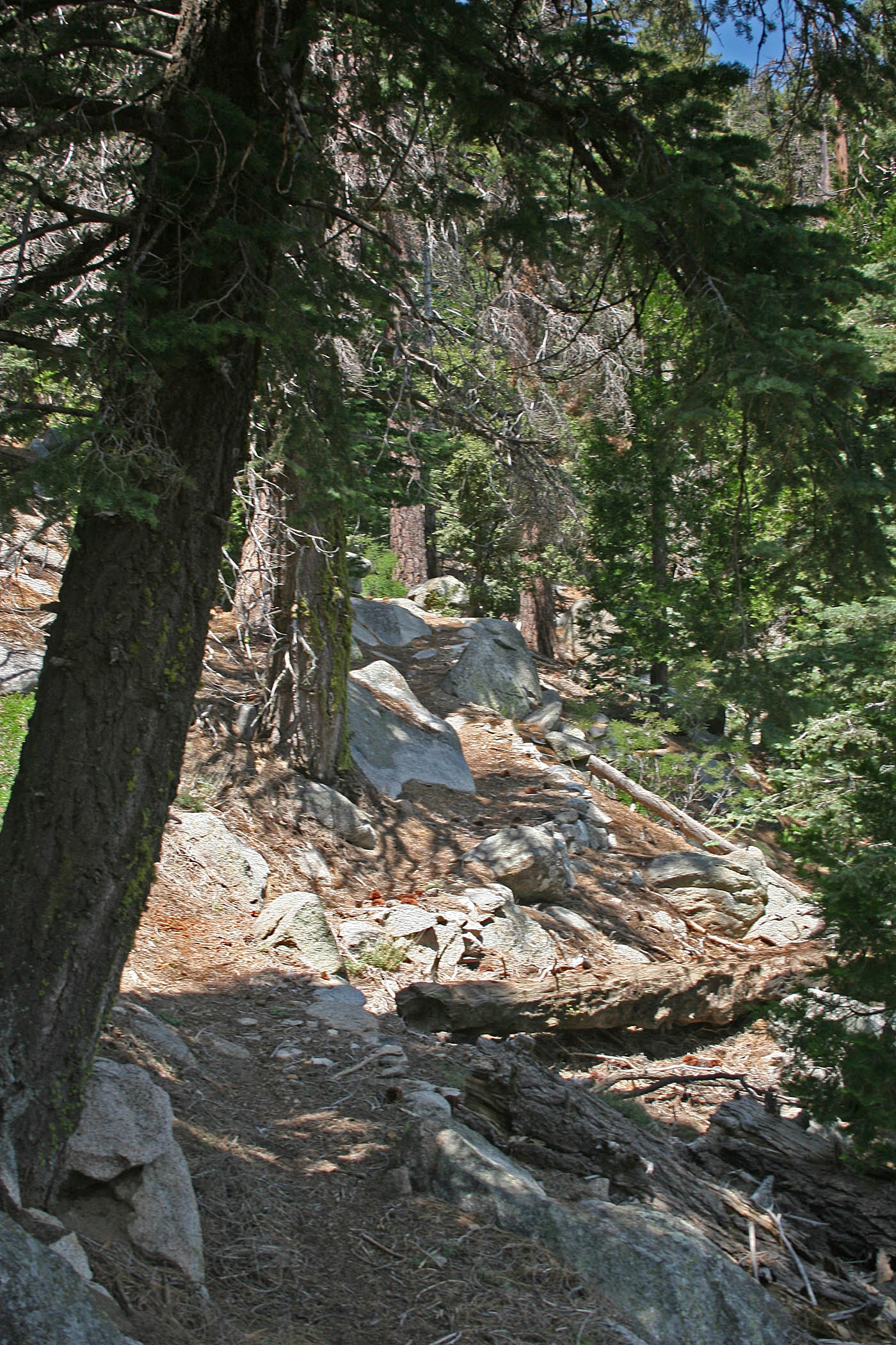
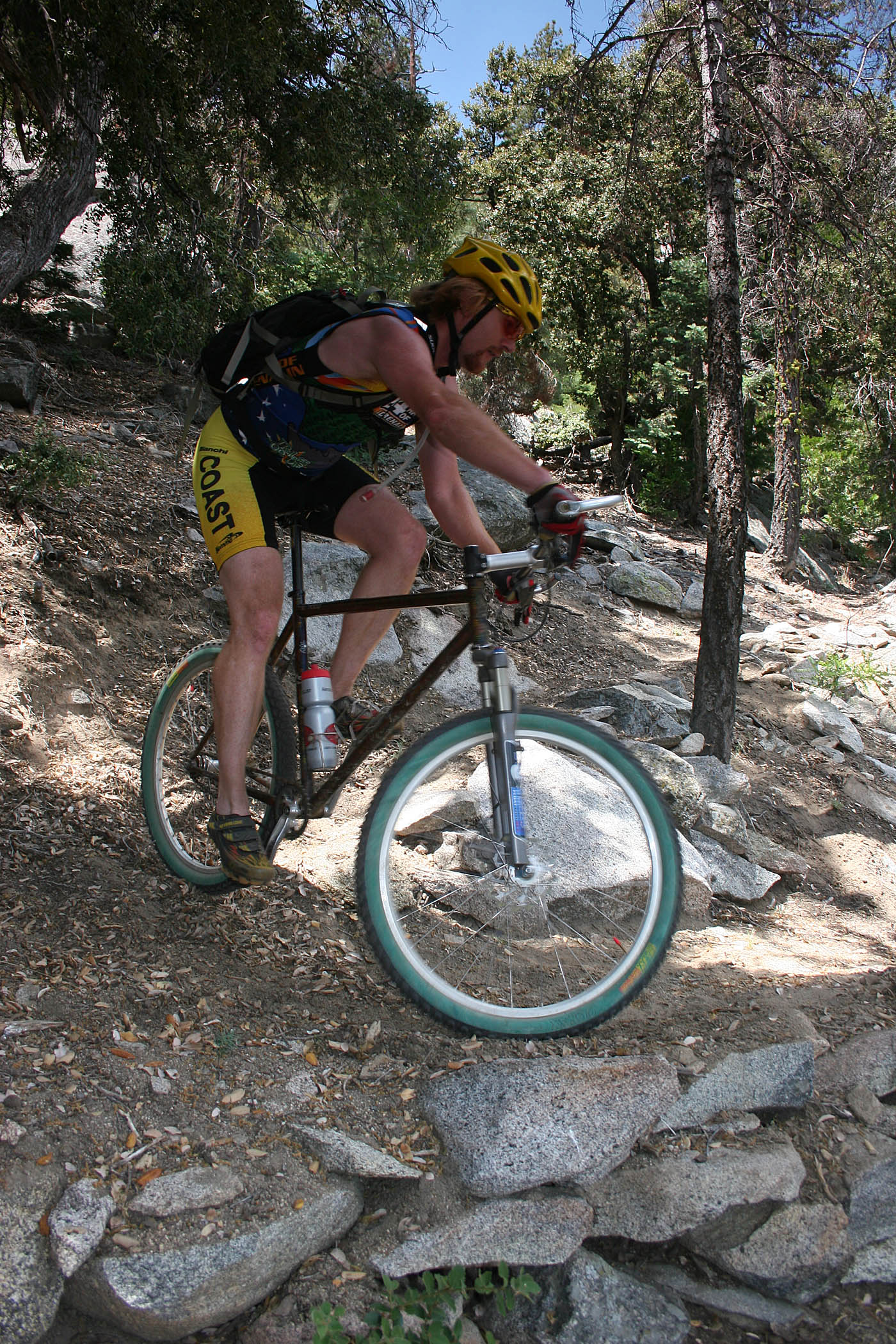
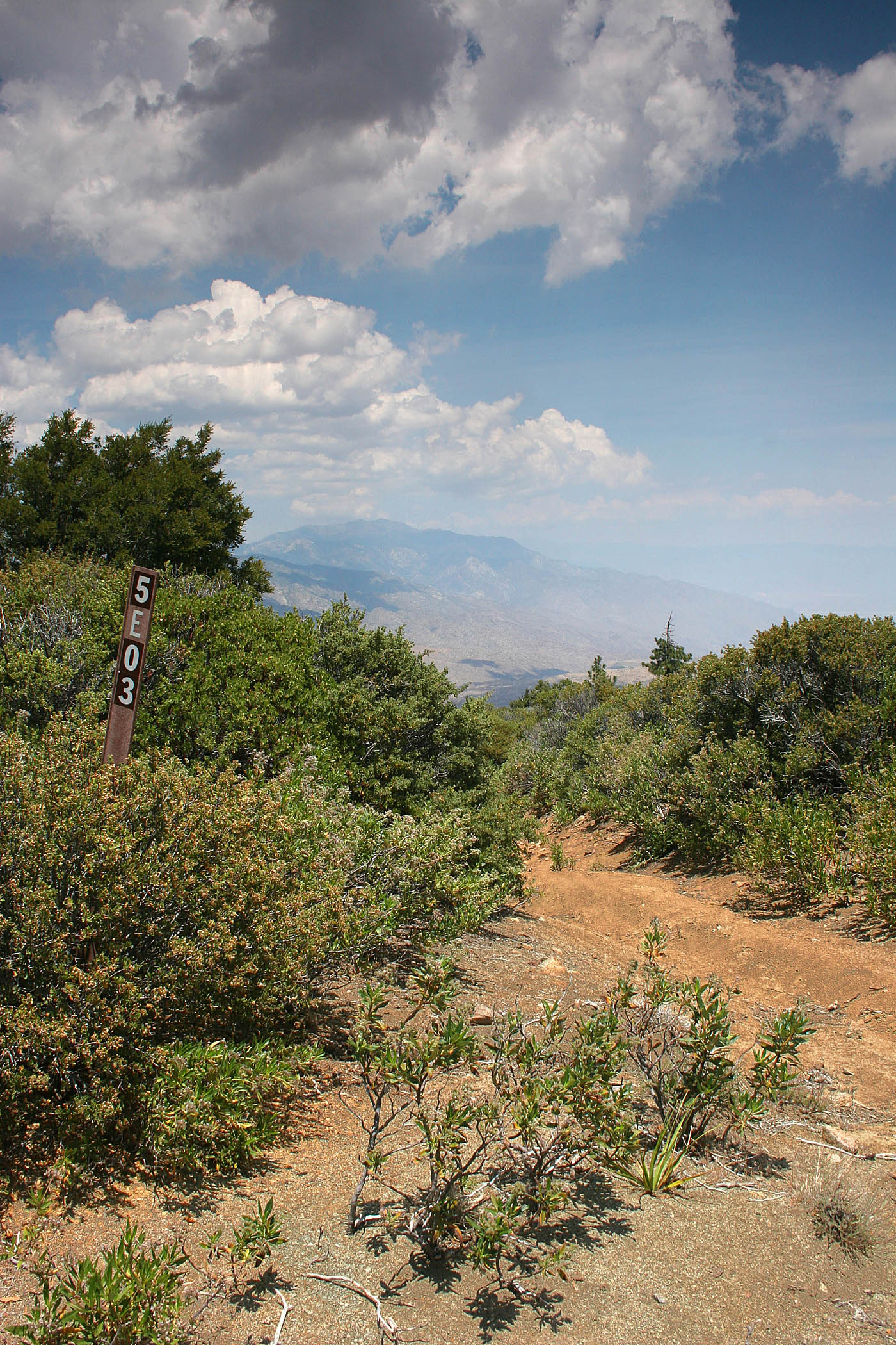
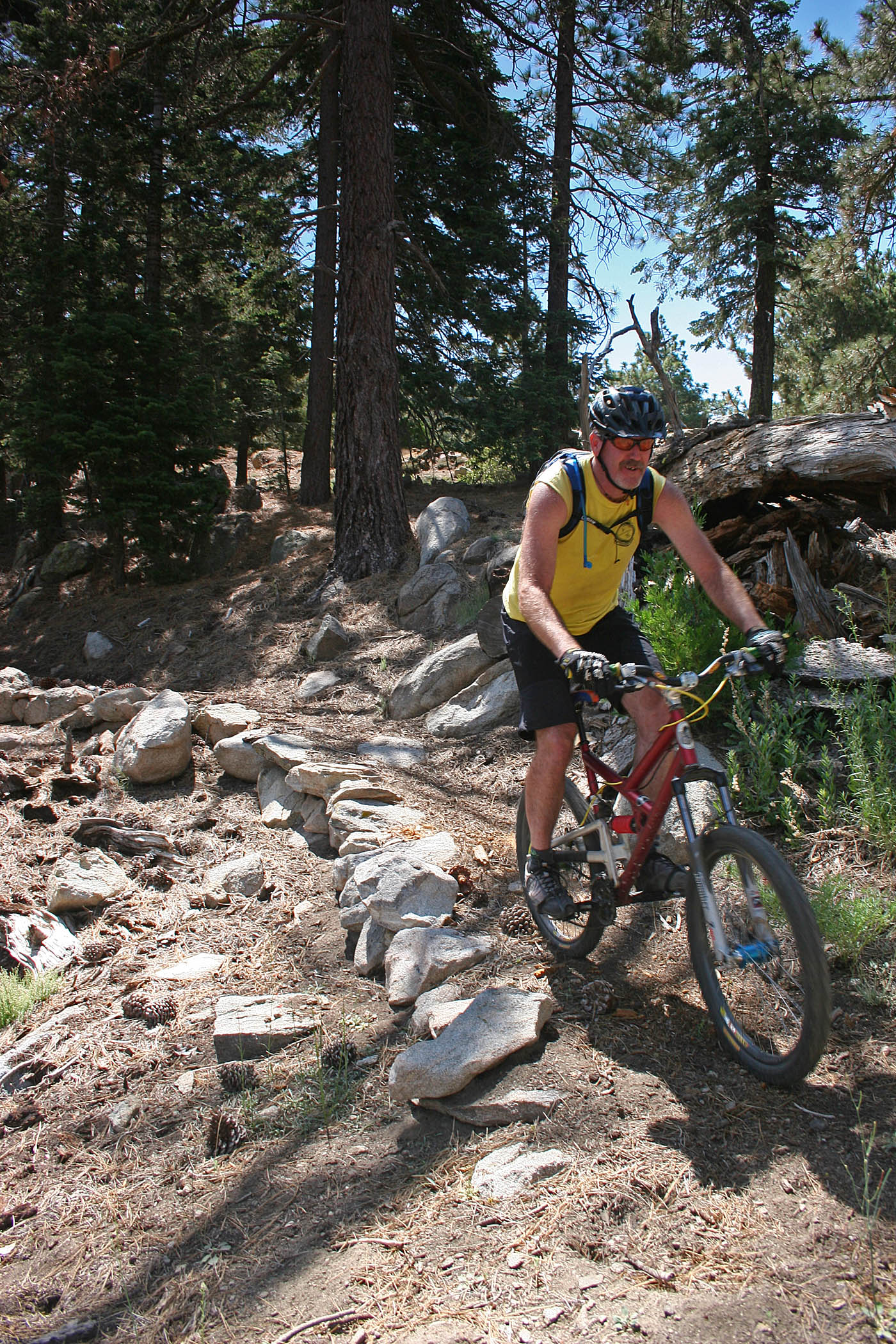
The Sawmill Trail (FS 5E03) provides and alternate route down Santa Rosa Mountain. From its junction with the Santa Rosa Mountain Road, (SR-17) it switchbacks down the north slope of the mountain through stands of mature cedar, pine and fir trees. Some of these trees are exceptionally impressive with burly moss on their trunks. The trails has some rocks and the switchbacks are often tight making the trail itself interesting all on its own even without the exceptional flora and views to the north. If you are going to do the Sawmill option I highly recommend you top off your water at Santa Rosa Spring either on the initial climb or before you drop Sawmill.

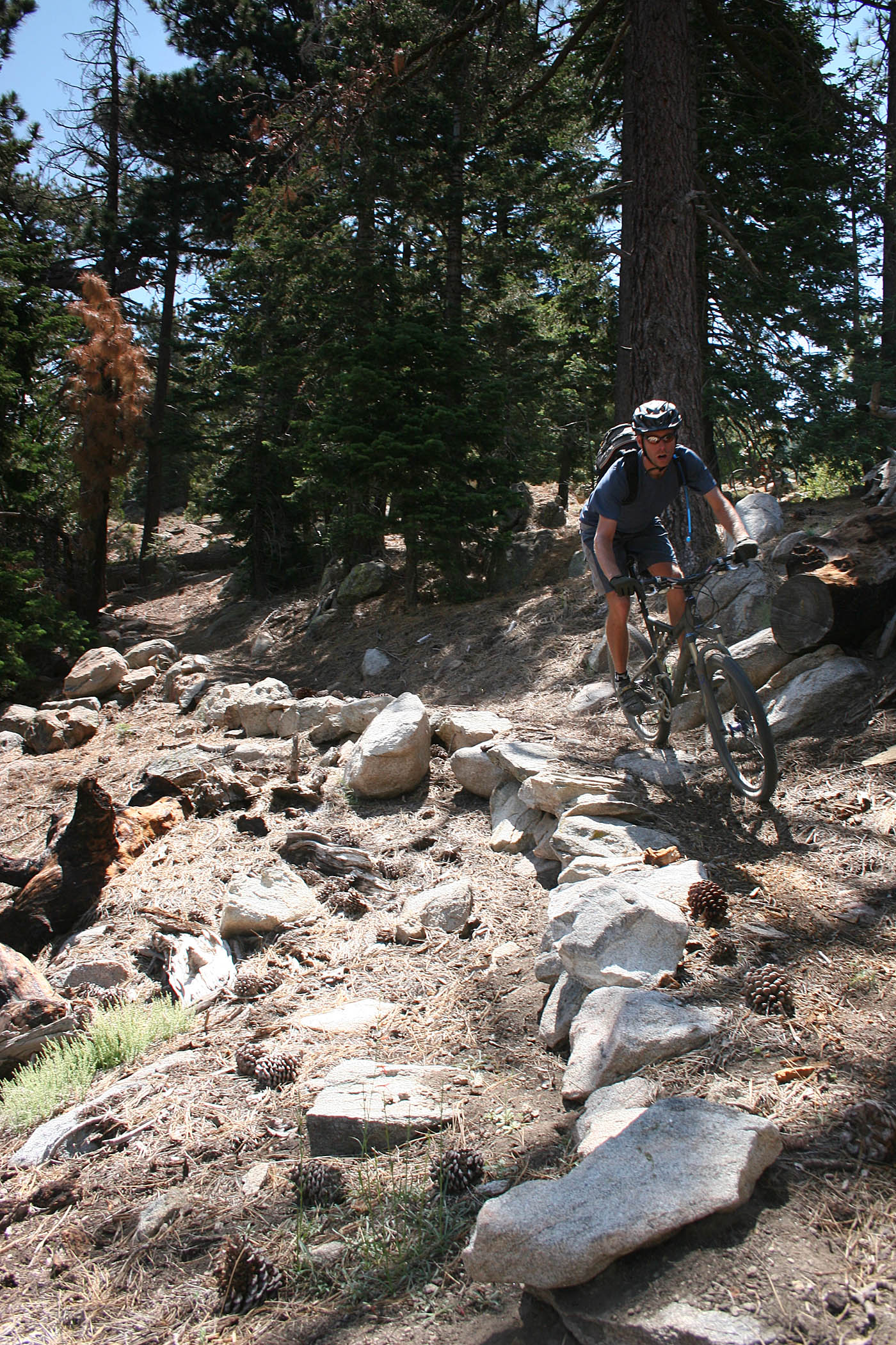
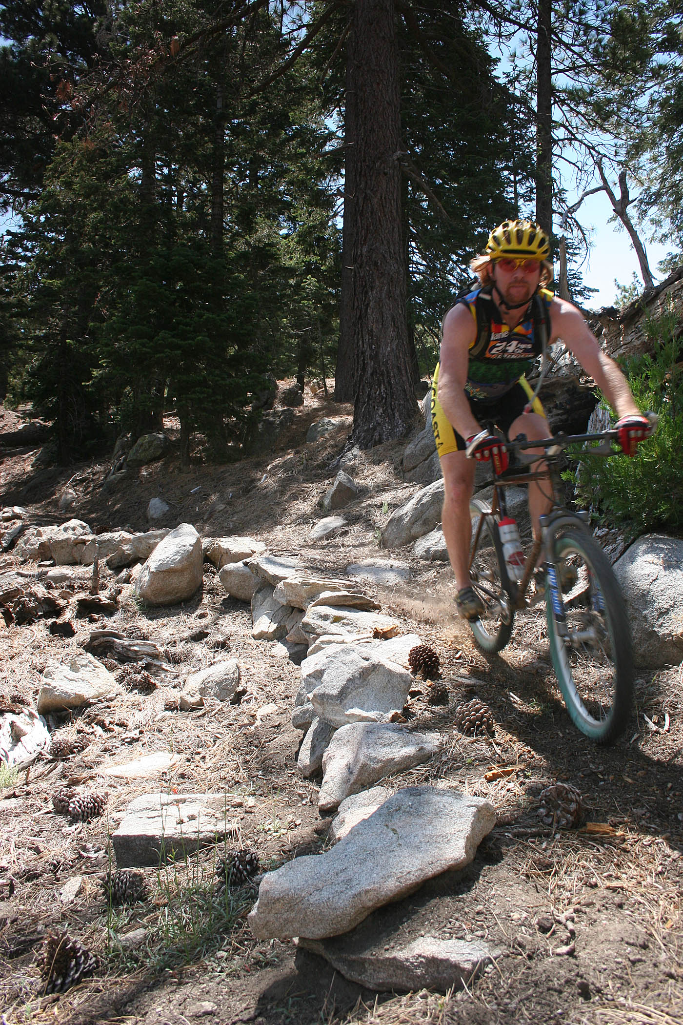

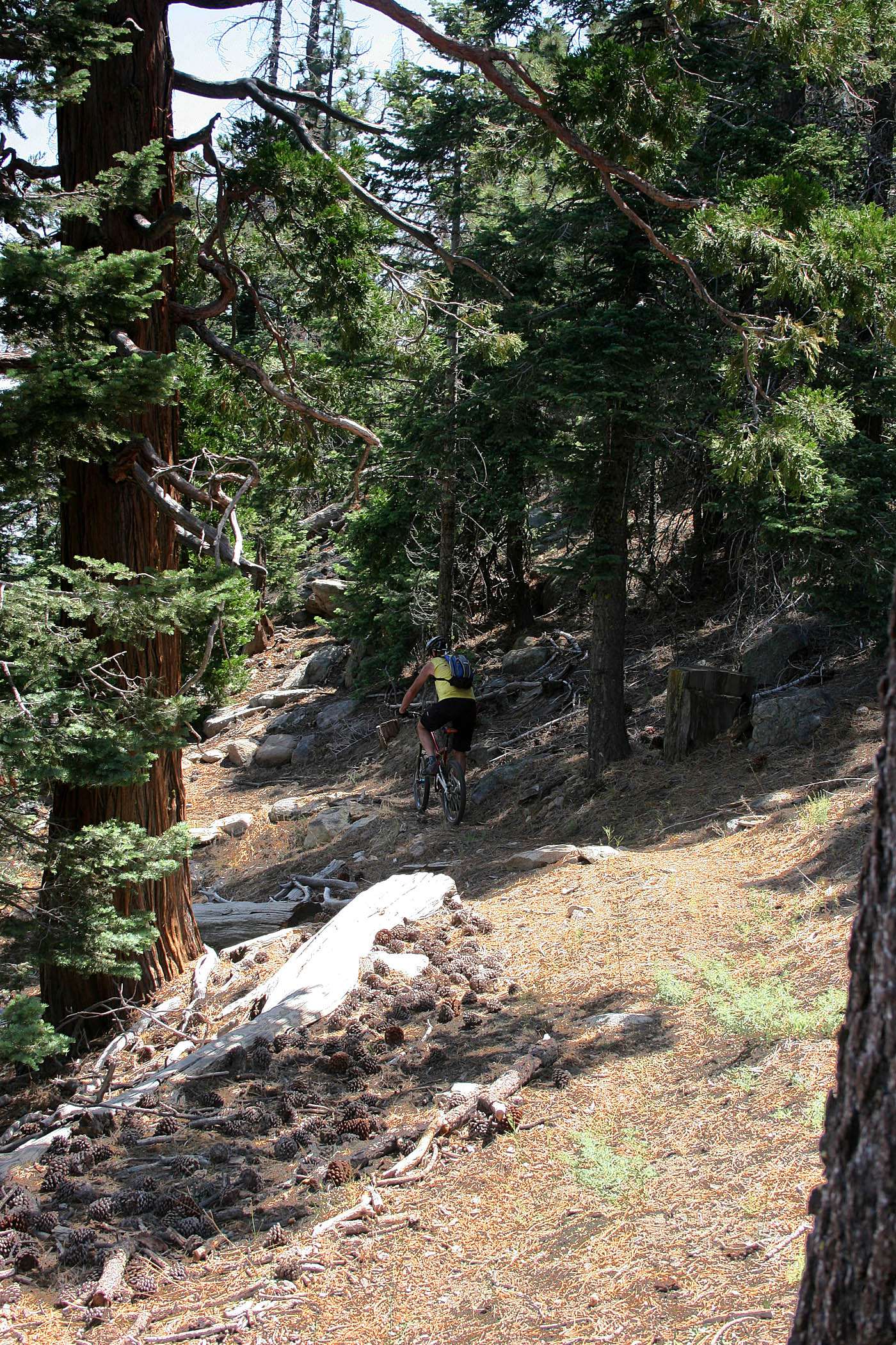
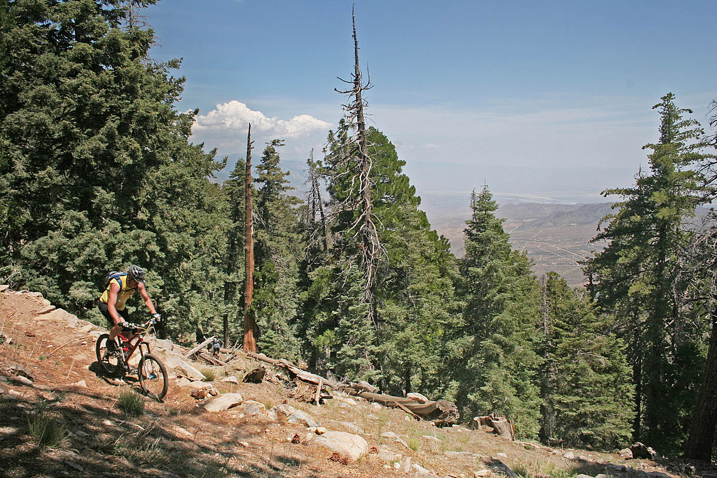
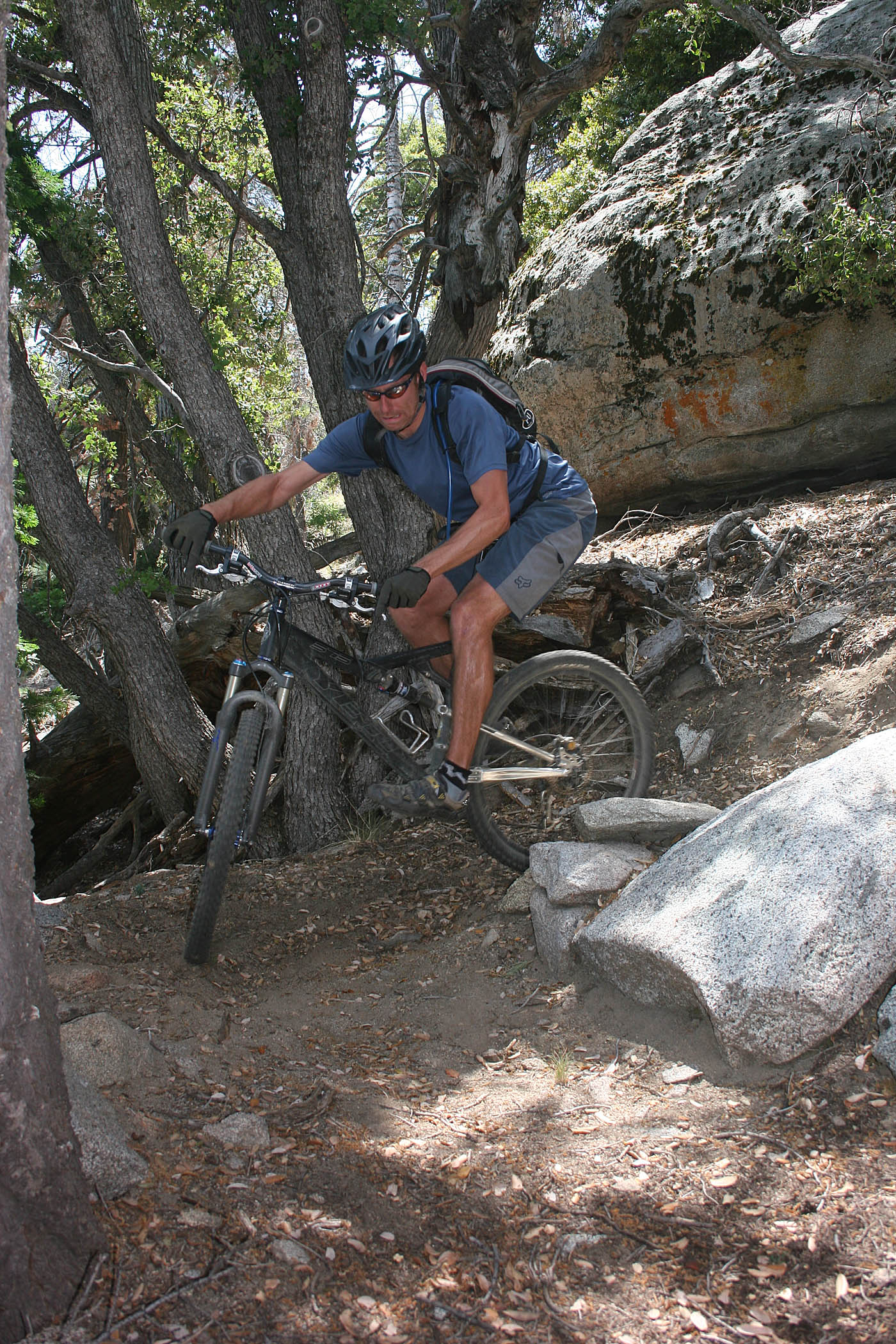
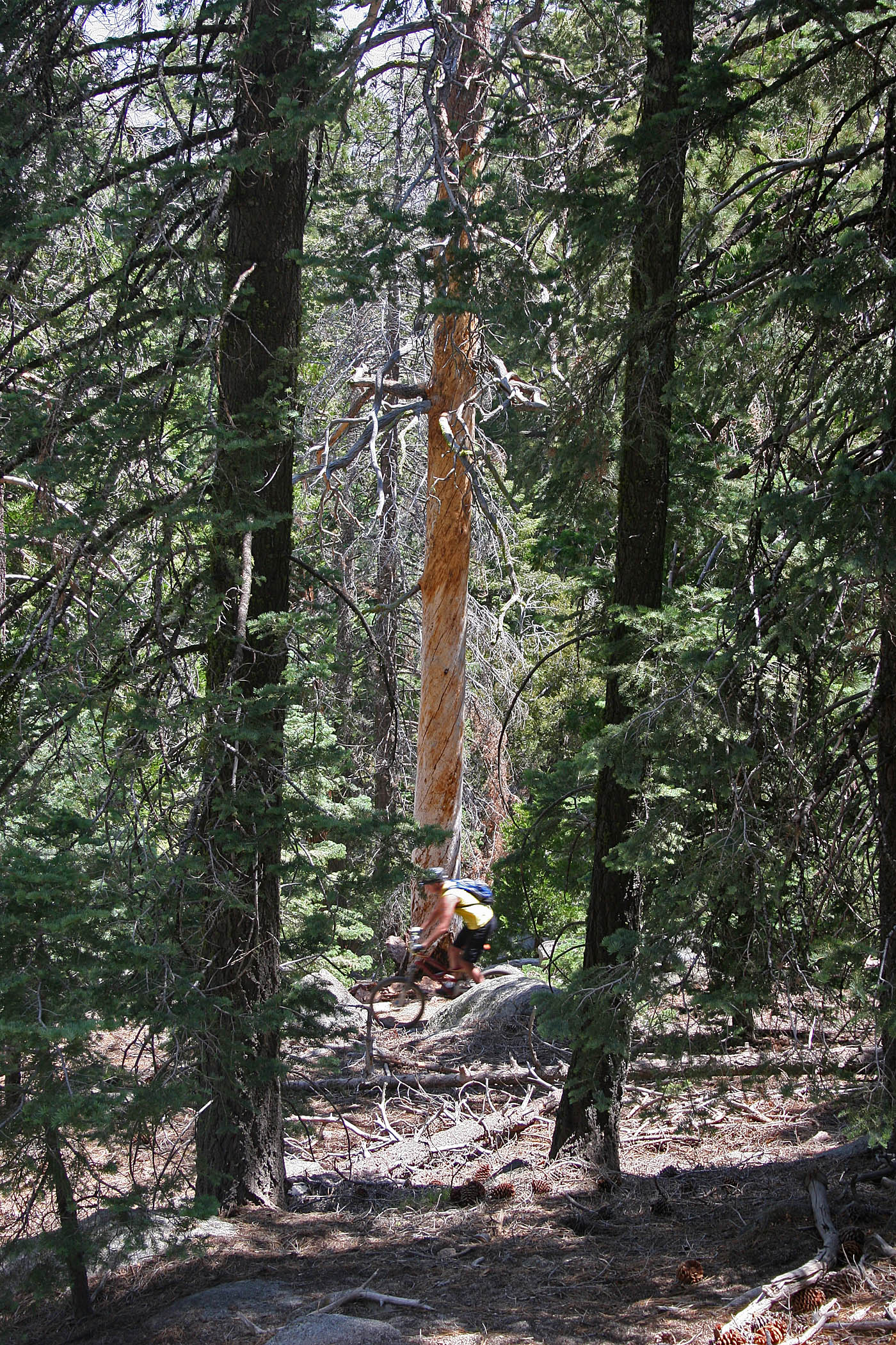
The fellas cruising in upper section of the Sawmill Trail
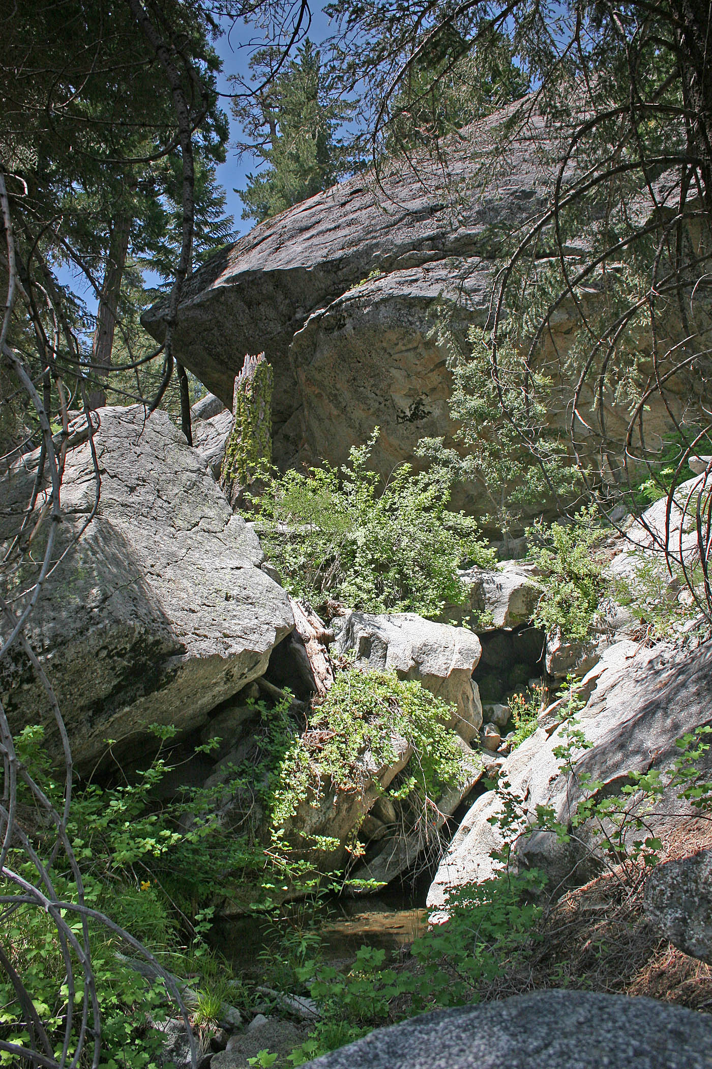
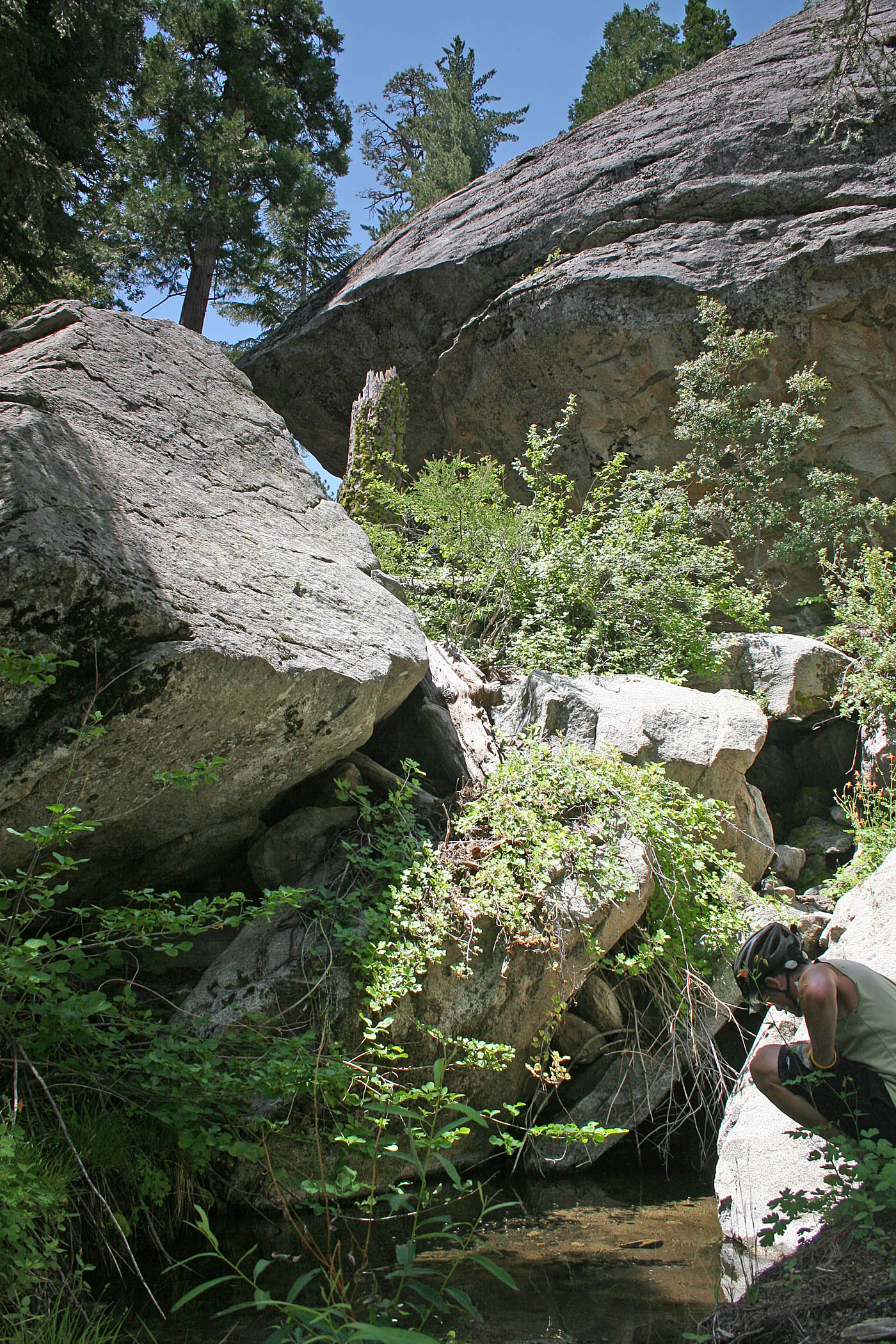
As you descend down the mountain the flora changes from the cedars and pines into more oak trees and around 1.8 miles the trail crosses Omstoutt Creek. The creek is spring fed and runs most of the year. This is a pretty little spot and well worth a stop and look see. Not long after the creek the flora shifts to chaparral before the trail comes out on a old jeep road (SR-25). Turn to your right (see exploration notes below) and east. You will have a little bit of rocky bump to climb/hike-a-bike up to where you will come to the ruins of an old logging camp with its primary feature being the a large stone kiln. With a little bit of exploring around to the south of the kiln you can also find the remains of a log splitter.


Beyond the Kiln it is Descend-O-Rama time where you are going to shed 2,400 feet in about 6 miles. This old road is doubletrack that is getting a bit rougher every year. Older USGS maps refer to the road as FS 7S01, but the forest service signs now also refer to this road as FS 5E03 in addition to the singletrack at the top. I believe that started this after they closed the road to vehicle traffic and stopped maintaining the road. The singletrack at the top does not see a whole bunch of traffic so it takes a bit longer than other trails for the USFS to find out about and clear deadfall.
Tour De Santa Rosa Loop
This option is a plus size version of the Sawmill Loop. At nearly 30 miles with around 5,000 feet of climbing you should start your day early. You start this route from the Sawmill/Catcus Springs trail. The start of this loop cuts out about two-thirds of the Highway 74 pavement connection using and series of trails, dirt roads and 4x4 paths. It is not easier that taking the highway but it is more interesting. I describe the connector on my Pinyon Flats - Palm Canyon loop page. This dirt option will get you near the trail head of the Palm Canyon trail and from there you will only have about 1.5 miles of Highway 74 to deal with. This segment of the loop is not included on my Old School PDF map. I'm assuming you will have the gear to follow the GPX track.
Once on Santa Rosa Mountain Truck Trail you take that all the way to Toro Peak and then back to the top of the Sawmill Trail. I will reiterate that I think it is a good idea to restock your water at Santa Rosa Spring before heading down on the Sawmill singletrack, particularly in the summertime. From there you will descend both the singletrack and then down the old 4x4 portion of the trail back towards the trailhead. Near the bottom of Sawmill you have the option to pick up the Ribbonwood Trail to finish off the loop. If you are cooked at this point you can just stay on the Sawmill trail and roll it right back to where you parked. It is a BIG Day! Celebrate Biggly!
Exploration Note
If you looking at a satellite view of this area or an older USGS map, at the bottom of the Sawmill singletrack (SR-25) you will see the that where the singletrack ends and you turn to the right (east) that there is an old road going off to the west. If you scroll around you will see that the old 4x4 road/trail goes west northwest down the mountain to Springcrest Drive. This looks particularly awesome as a potential Santa Rosa Mountain connection to the Palm Canyon Epic as this would bring you out almost directly across the road from the Palm Canyon trailhead. Back in July of 2006, I convinced a handful of my riding buddies to go on a bit of exploration of this section with me. We parked at Santa Rosa Mountain Road and made our way up the climb and then dropped the Sawmill singletrack and then turned left (at SR-25) onto this section. It started out pretty cool. We had a little bit of hike-a-bike then it was cool again. We descended and smiled. Then we had to work our way through a washout. Beyond this it was still cool and we smiled some more. The more we descended things got gnarlier and the trail became increasing overgrown. Then really overgrown. We had descended too much to turn around at this point. We were not smiling much anymore. We had also descended enough that it was now freaking hot. We had to slog down stuff. Buchwack up other trail-like looking stuff. There was not much smiling going on now. At this point my "friends" had collectively determined that I would be the first one to be offed by evisceration should cannibalization be required. The "trail" eventually became a large rock filled V-ditch that was virtually impossible to ride for any length and a giagantic pain in the ass to hike down. The only bright spot along the route was that we did have a thunderstorm roll in and dump on us for a few minutes to cool us off. We ended up bushwhacking literally on our hands and knees the last 50 feet through some stupidly thick underbrush to get onto a street at the bottom. We were all cooked, scratched/exfoliated on every explosed leading edge of skin. As we pedalled our way up highway 74 back to Santa Rosa Mt Road another storm came in and we were pelted with hail for a handful of minutes. For few short seconds we snickered at the obsurbity of the weather. We ended up devouring burgers at the nearby Paradise Valley Cafe, but there was not much of the usual post-ride chit-chat. It was an EPIC Beatdown! (I don't recommend it)