
The Historic San Diego Flume Trail
San Diego County had a pretty amazing flume that went from Lake Cuyamaca to the La Mesa area. It was completed in 1889 and provided much needed water to support the growth of the San Diego region. The flume utilized 315 trestles and five tunnels to tame the grade as it transversed 37 miles of mountains, valleys, ravines and other manner of rugged terrain. The construction of the El Captain Dam in 1933 made the flume pretty much obsolete and in 1935 the wooden flume was replaced with an underground pipeline The nine million board feet of redwood lumber used to construct the flume has long been reclaimed for other uses but the corridor still remains through El Monte and Blossom Valley near the town of Lakeside. A roughly six- mile portion of that flume corridor has been preserved for the public and you can ride your bike on it. It is a nice little gem of a trail that is exceptional pretty particularly in the winter months. While this trail may not be an epic ride, there is certainly epic history here and somedays you might even find a healthy serving of Chicken Noodle Soup for the MTB Soul.
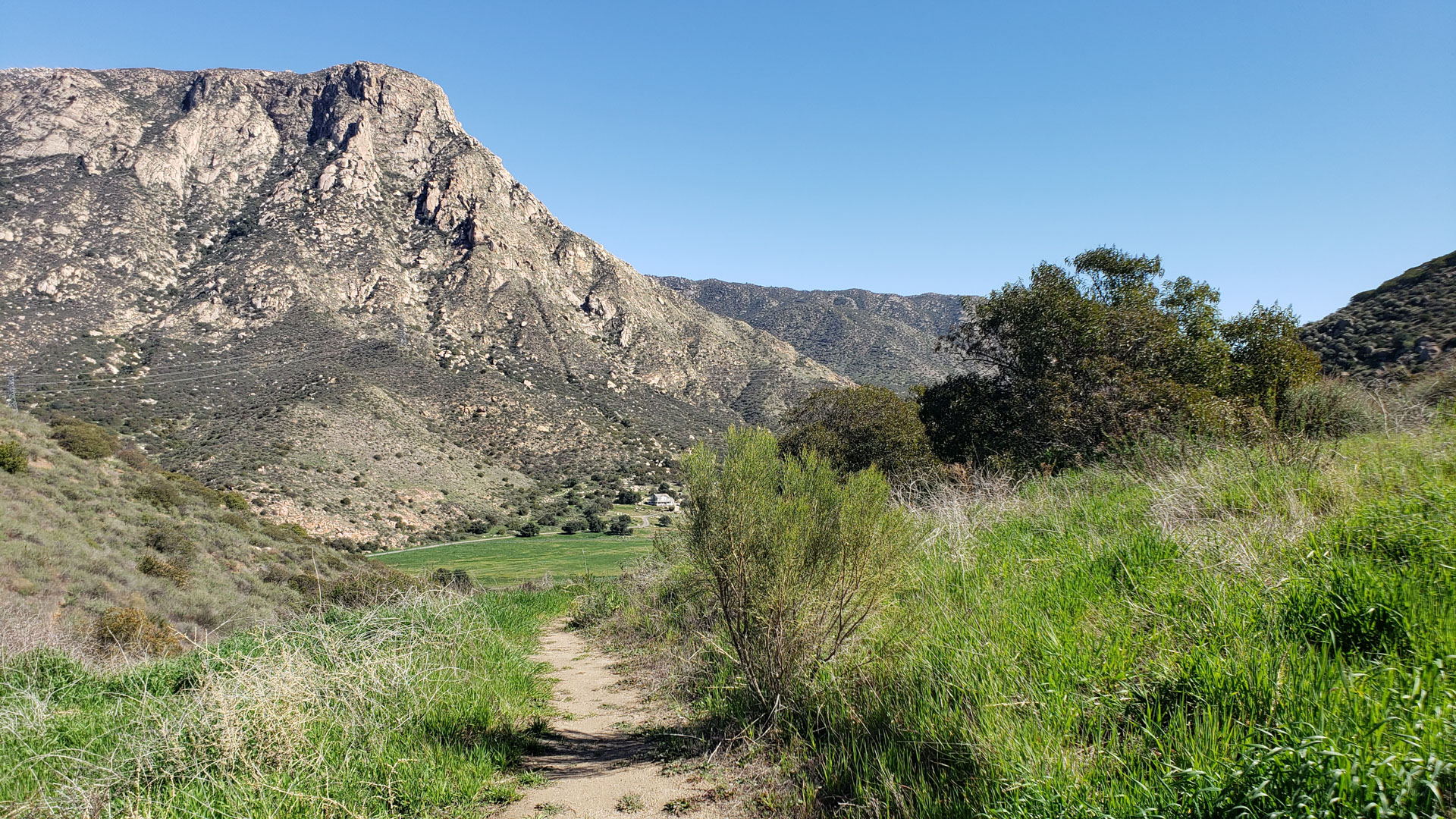
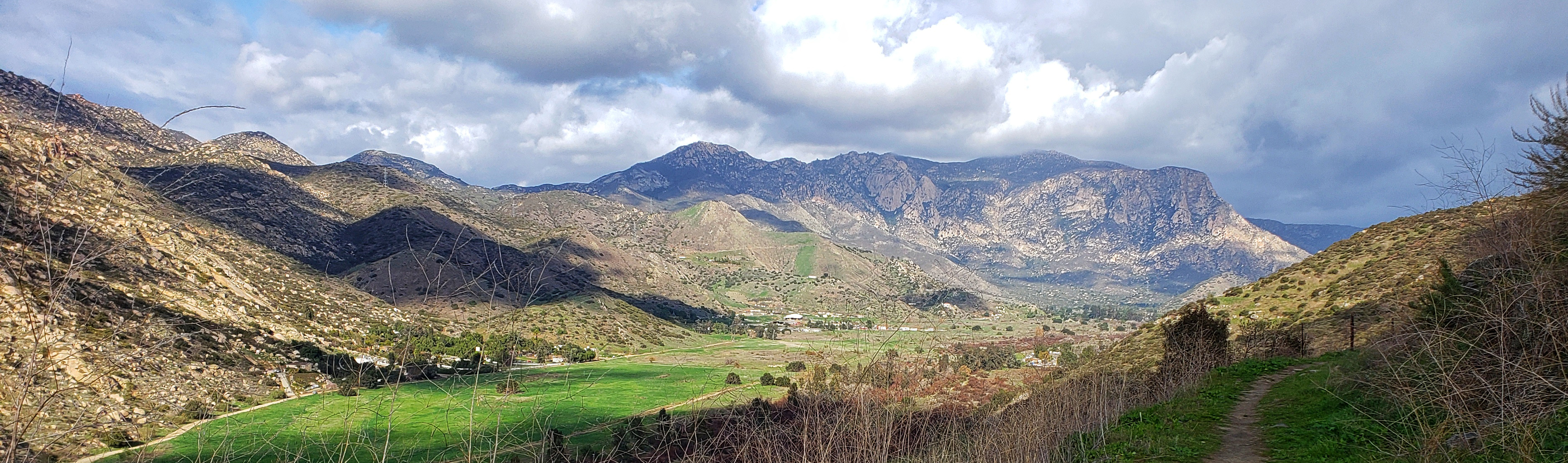 Near the western end of the Flume Trail looking to the east.
 El Monte Park Out and Back:
The See It All Route:
Hazards: It can get reallly hot here during the summer. There is water available at El Monte Park and there is water available at the Lake Jennings campground. There are a few hike-a-bike sections.
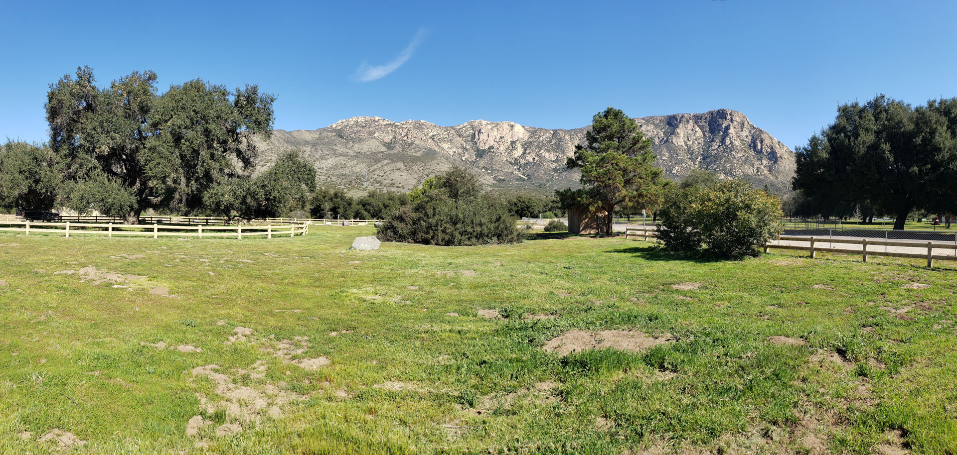
- El Monte Park: This is the primary trailhead I would use.

- Helix Water District Facility:
Recommended Route: (El Monte Park Out and Back)
This route has you picking up the El Monte Park trail in the southwest corner of the park. The El Monte Park trail offers no warm up as you are straight into steep switchbacks that go from the valley floor up to the flume trail. Due to the topology you will actually climb above the level of the flume and then decend a little down to the flume. When you reach the flume trail take note of the Cape Horn tunnel at the bottom of the switchback. There is a kiosk nearby that should draw your attention.
The flume was built with a grade of four feet five inches per mile. That is pretty much dead flat. I found the delta between the flume grade and the valley floor grade to slightly mess with my visual senses as the valley floor rises to the east at a higher rate than the flume corridor giving the illusion that you are going slightly uphill when going west. The flume had numerous trestles in this area. The trail in those areas dips down into those areas so you will have numerous spots of undulation as you work your way towards the west end of the flume trail.
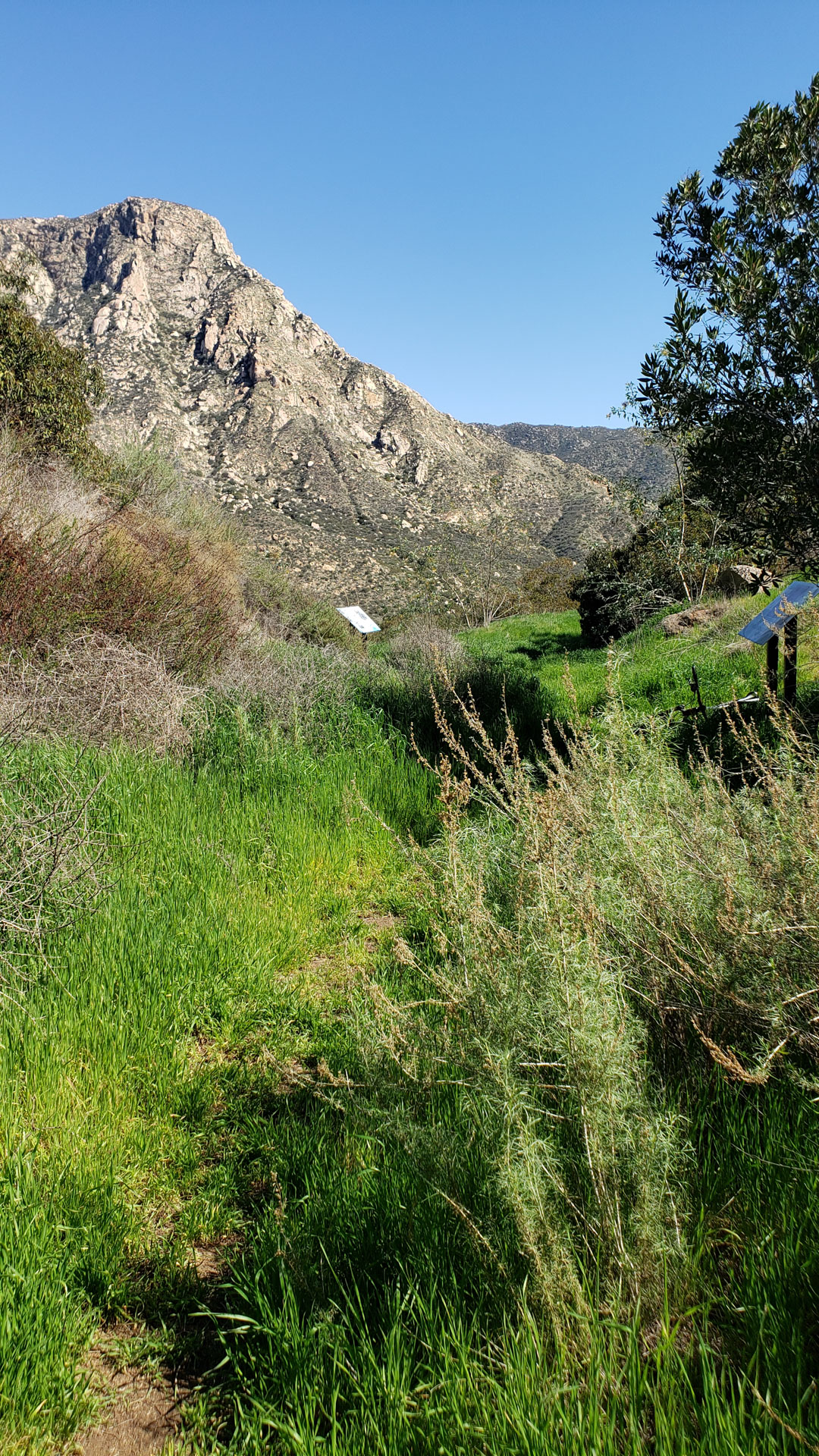
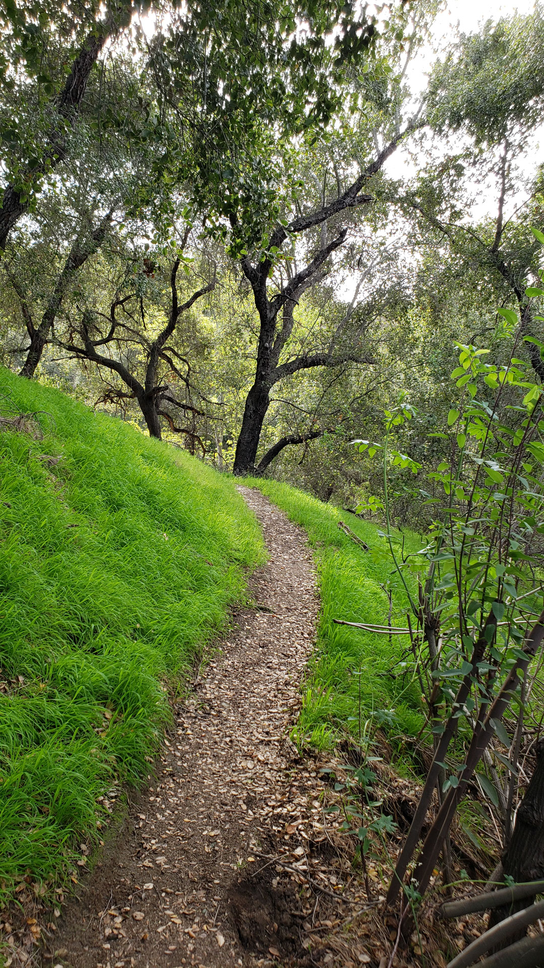
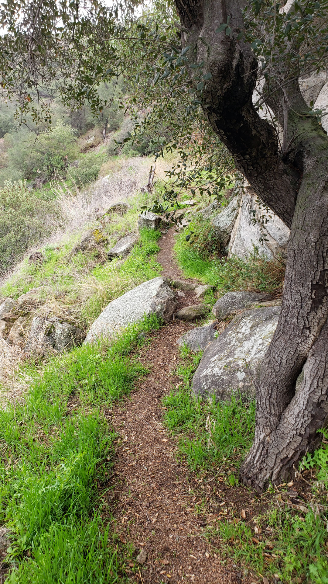
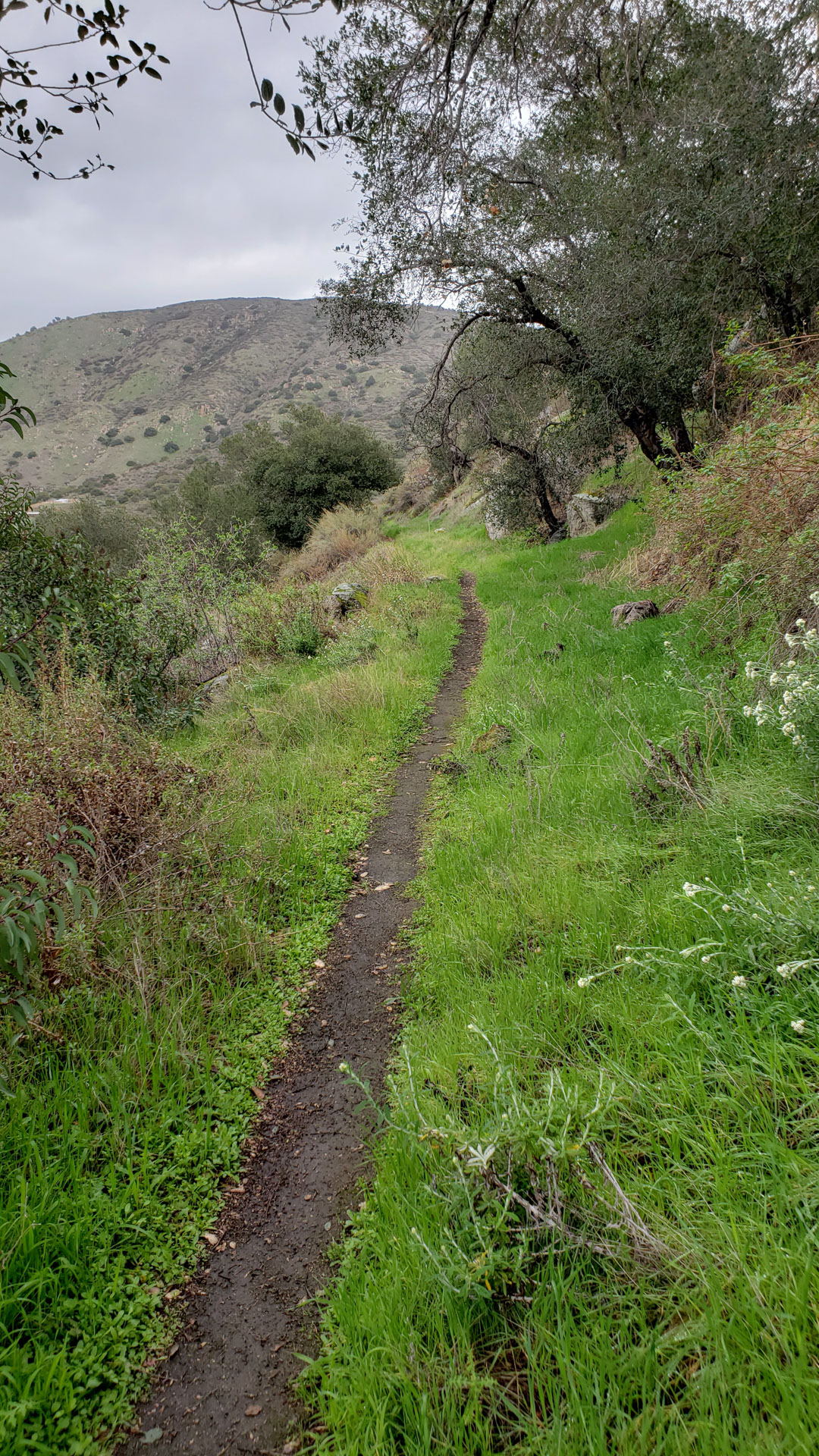
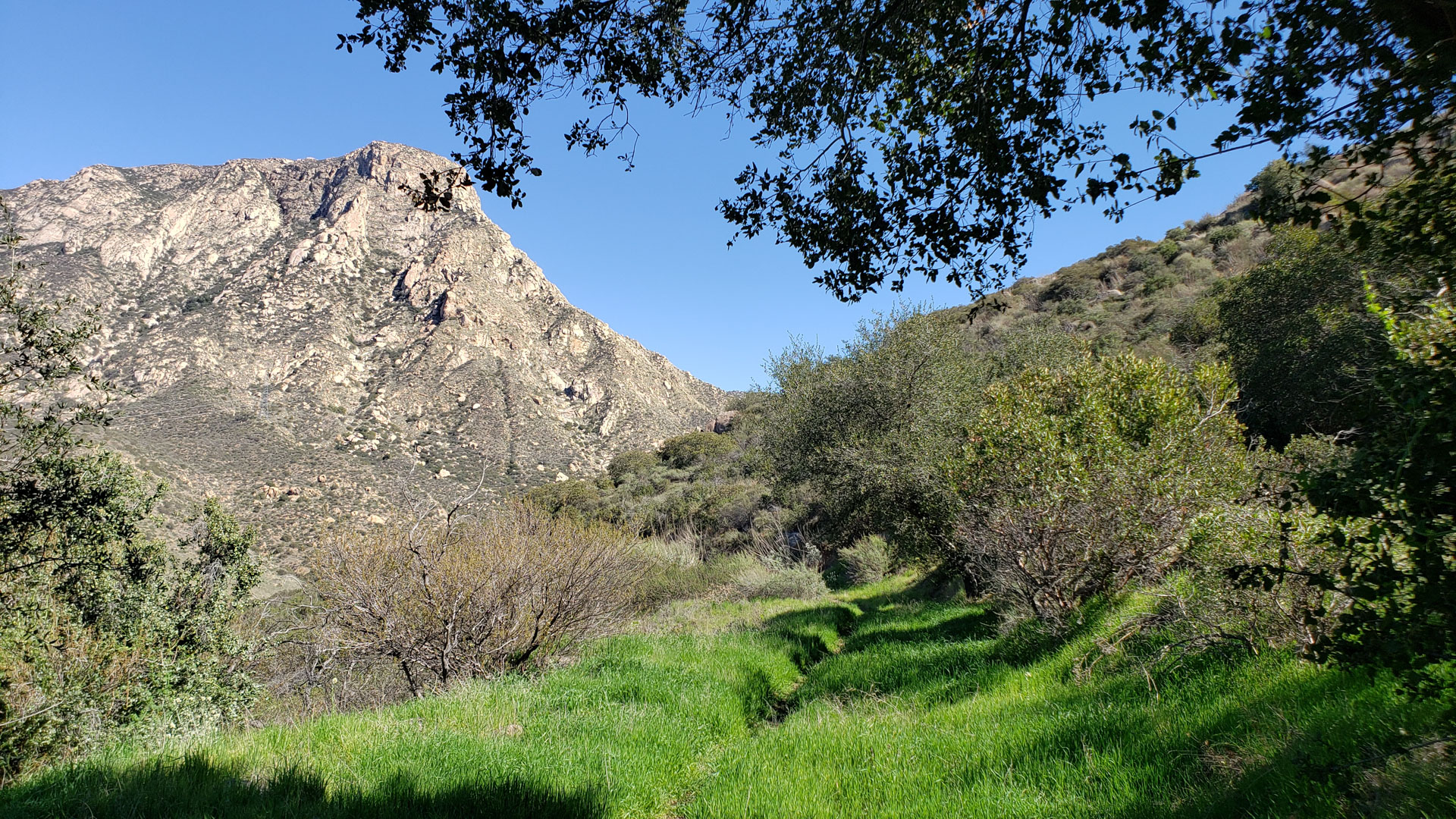
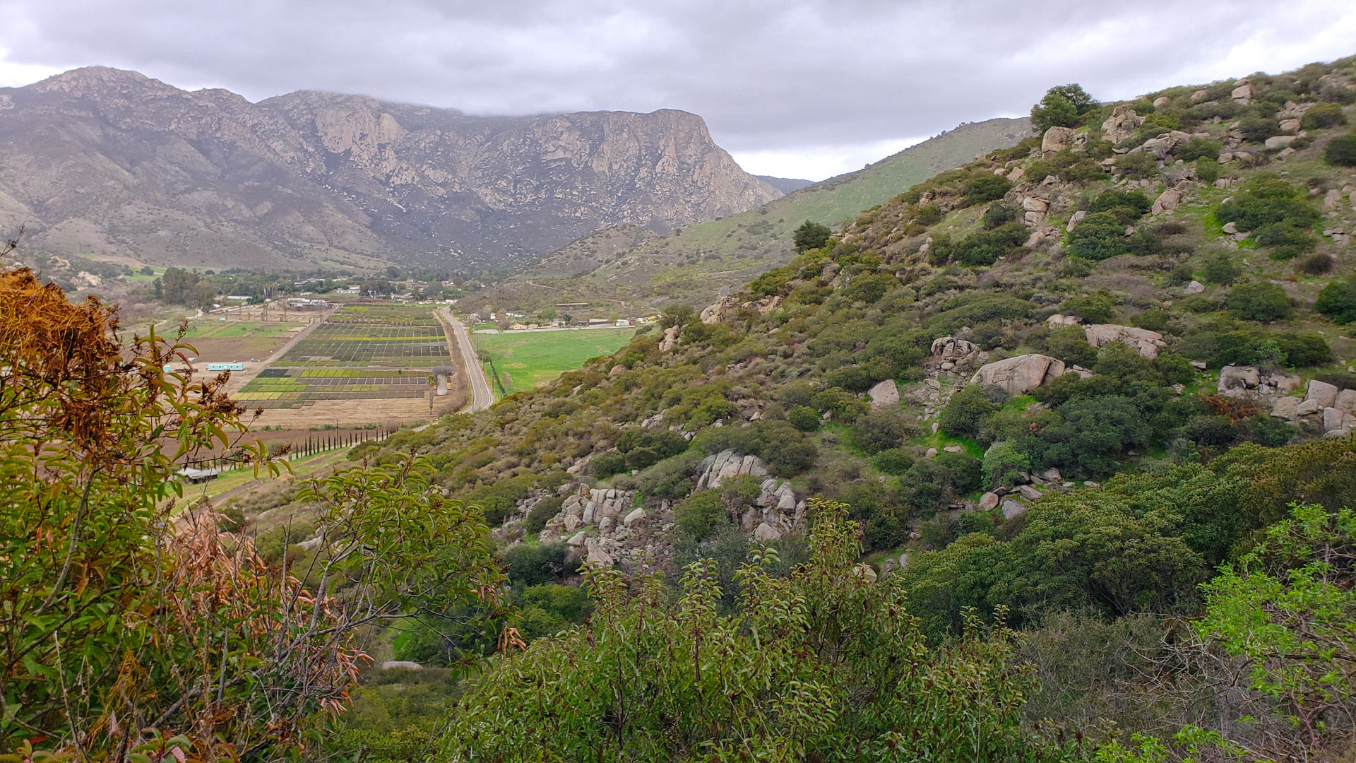
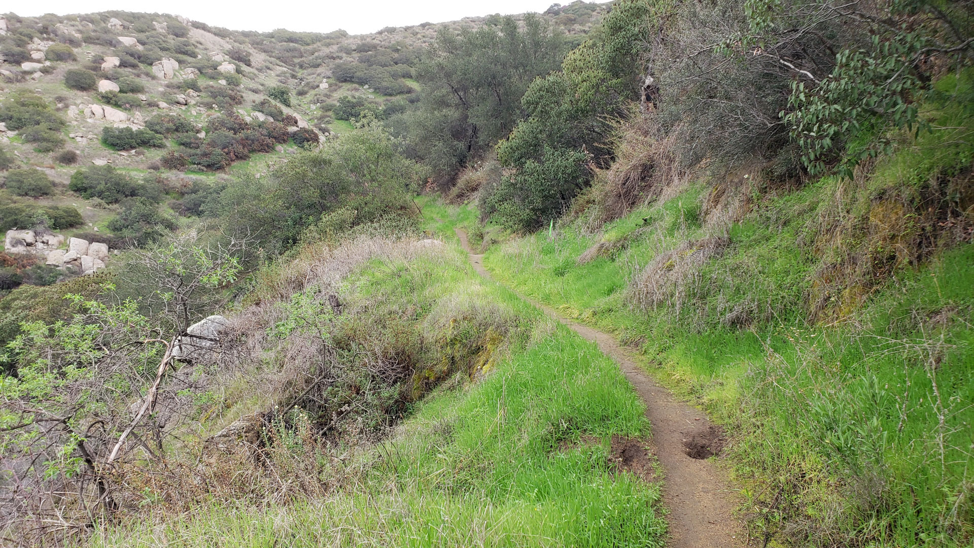
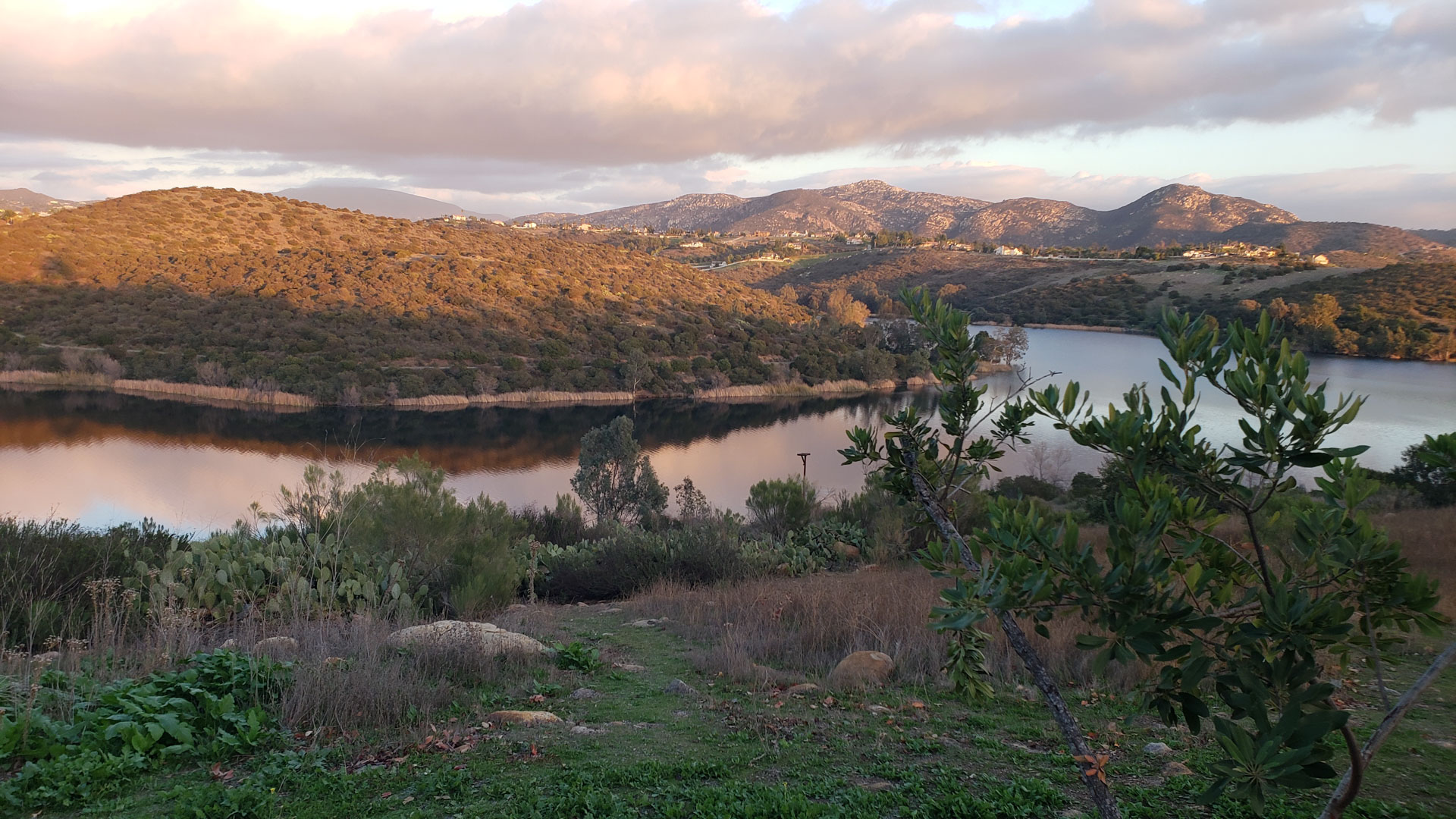
Various sights from along the flume trail
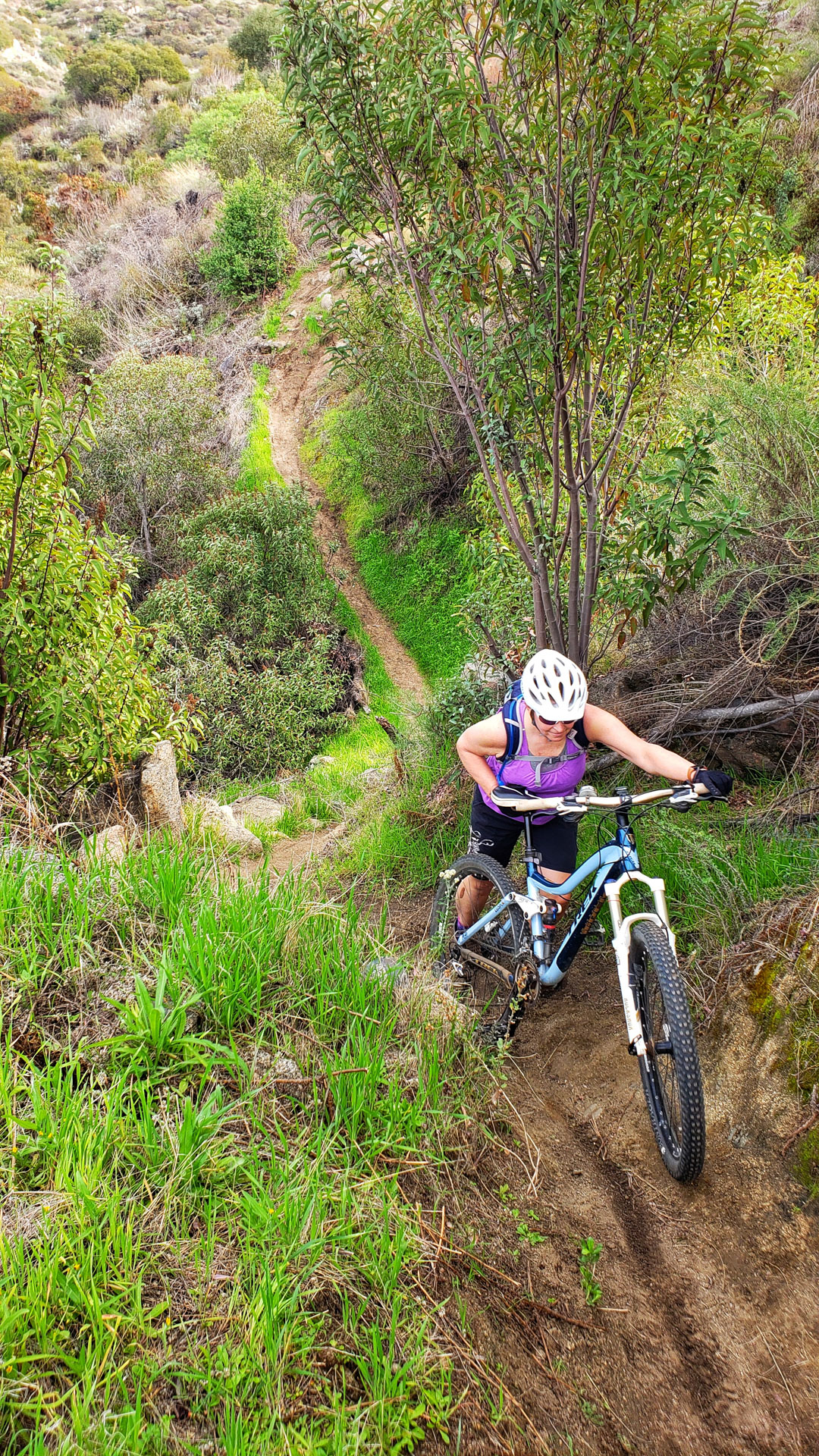
There are about five or six spots where a little hike-a-bike maybe in order for some to most riders. The trail overall is currently rated as green/easy, but these spots could push it into the blue/intermediate range. There are also a few unmarked spurs typically that shoot up the hill to the homes at the top of the ridgeline. At just under five miles you will reach the El Monte Tunnel and a split in the trail that will either take you either up to Lake Jennings or take you down to the Helix water district facility. This is a good spot to turn around and enjoy the flume in the other direction.
When you get back to the Cape Horn Tunnel and the switchbacks to rejoin the El Monte Park trail you have two additional options:
A) At the saddle you can continue east on the flume trail for another mile to the legally accessable end of the trail. This is also nice section of trail but a bit more challenging in a few spots. I highly recommend it if you like what you have seen so far on this ride.
B) If you really enjoyed the initial climb to here from El Monte Park at the beginning of the route, you can really treat yourself with plenty more of that style of climbing by taking the upper portion of the El Monte Park up to Creek Hills Road. It is pretty brutal with 850 feet of climbing just over a mile. There is a park bench alongside the trail near the top where you can enjoy the view you earned, eat a tasty snack and maybe call emergency medical services if you about to die. The descent back down is zippy but in drier months it could be tricky keeping things under control with loose dirt over hardpack.
The See It All Route
Various Photos from the Trail and the Lake Jennings Campground)
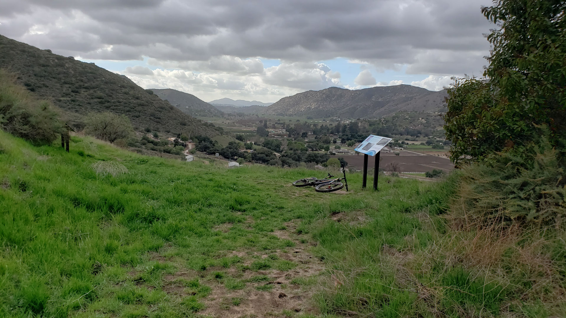


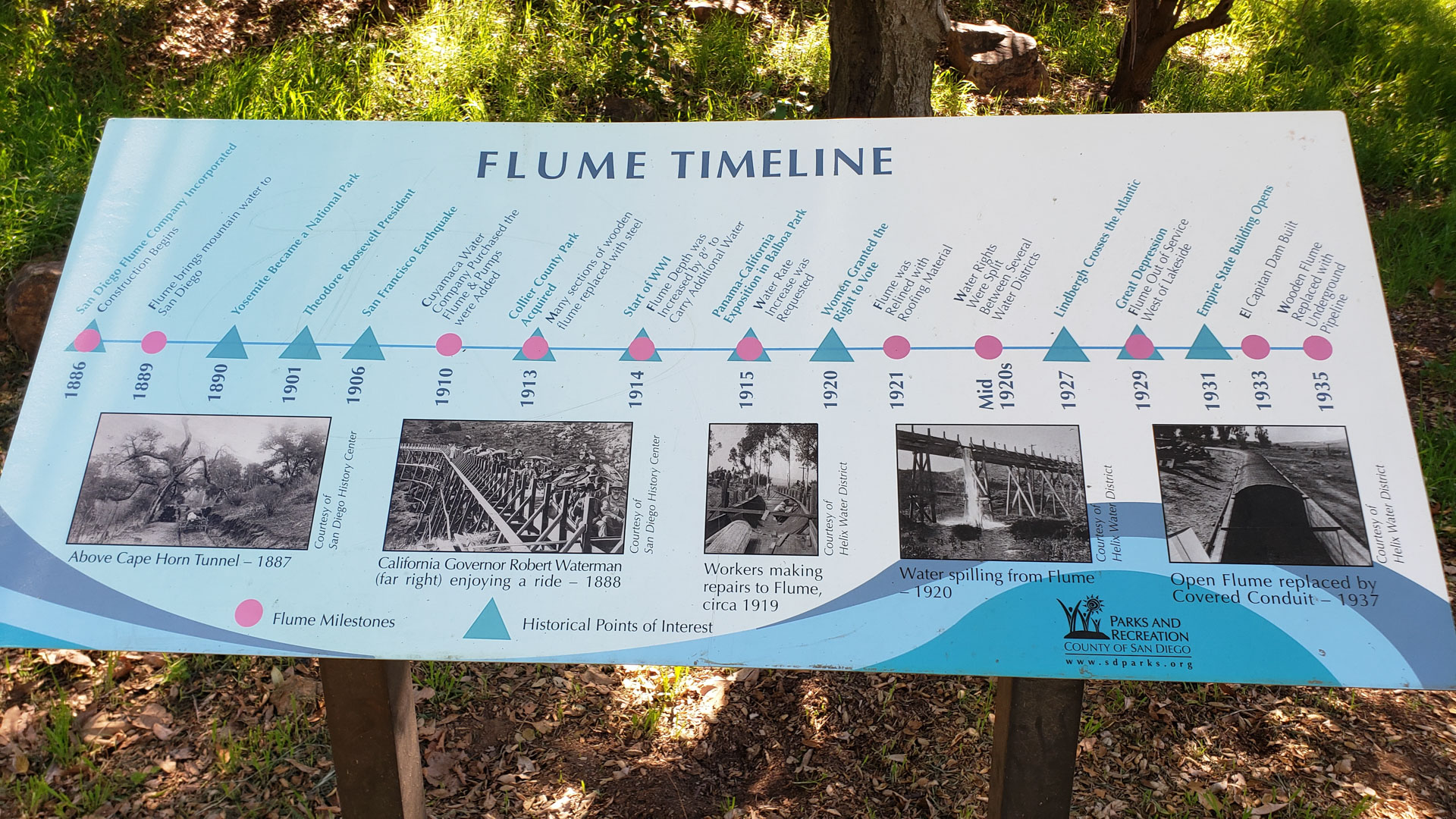
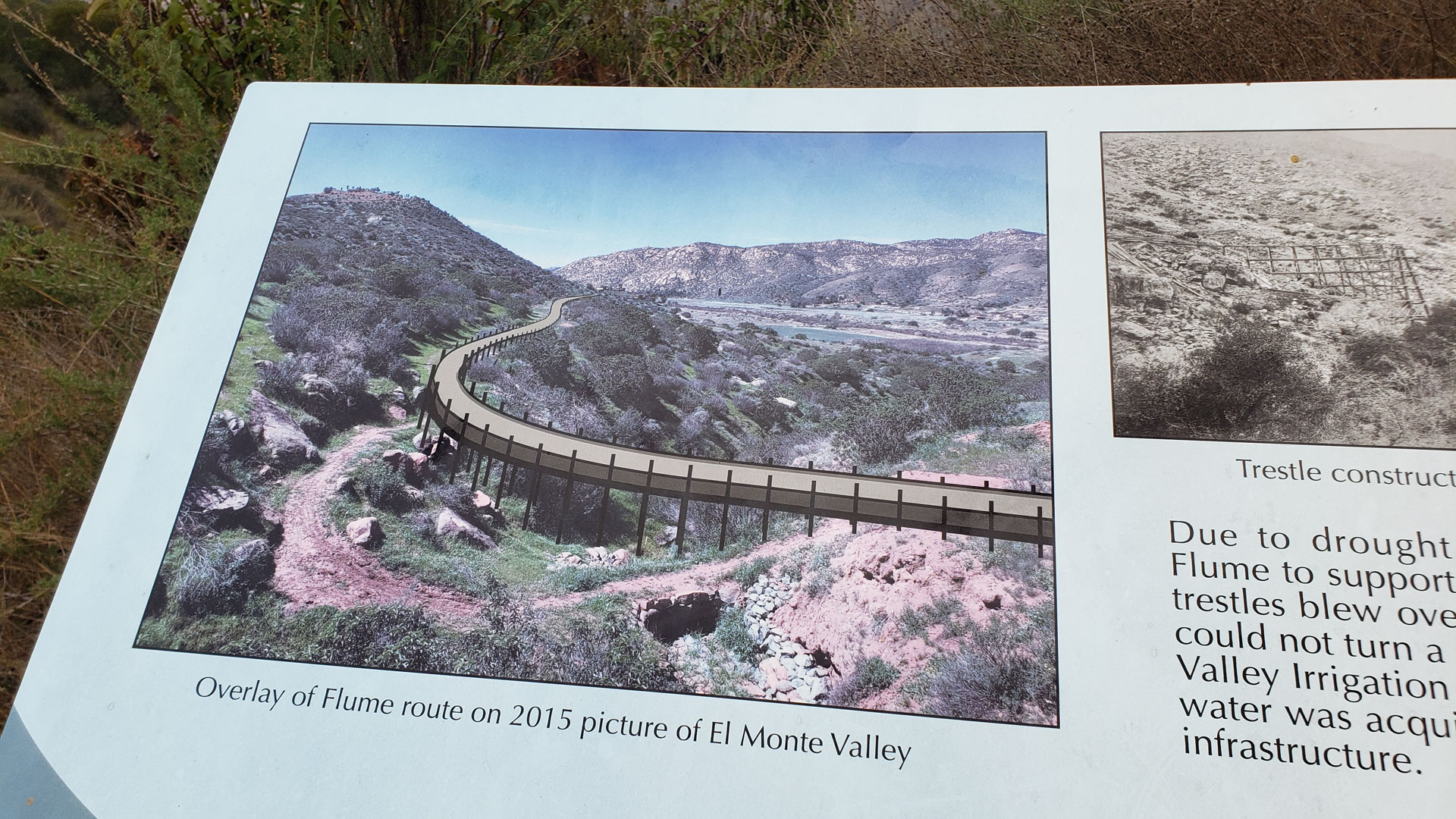
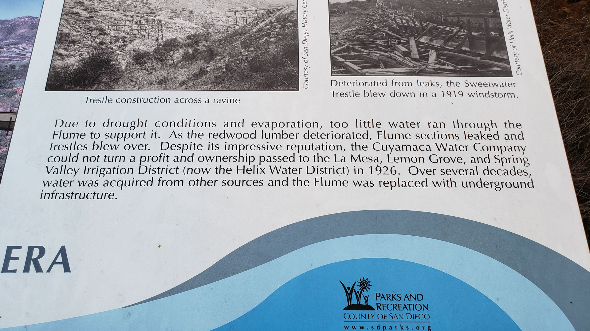
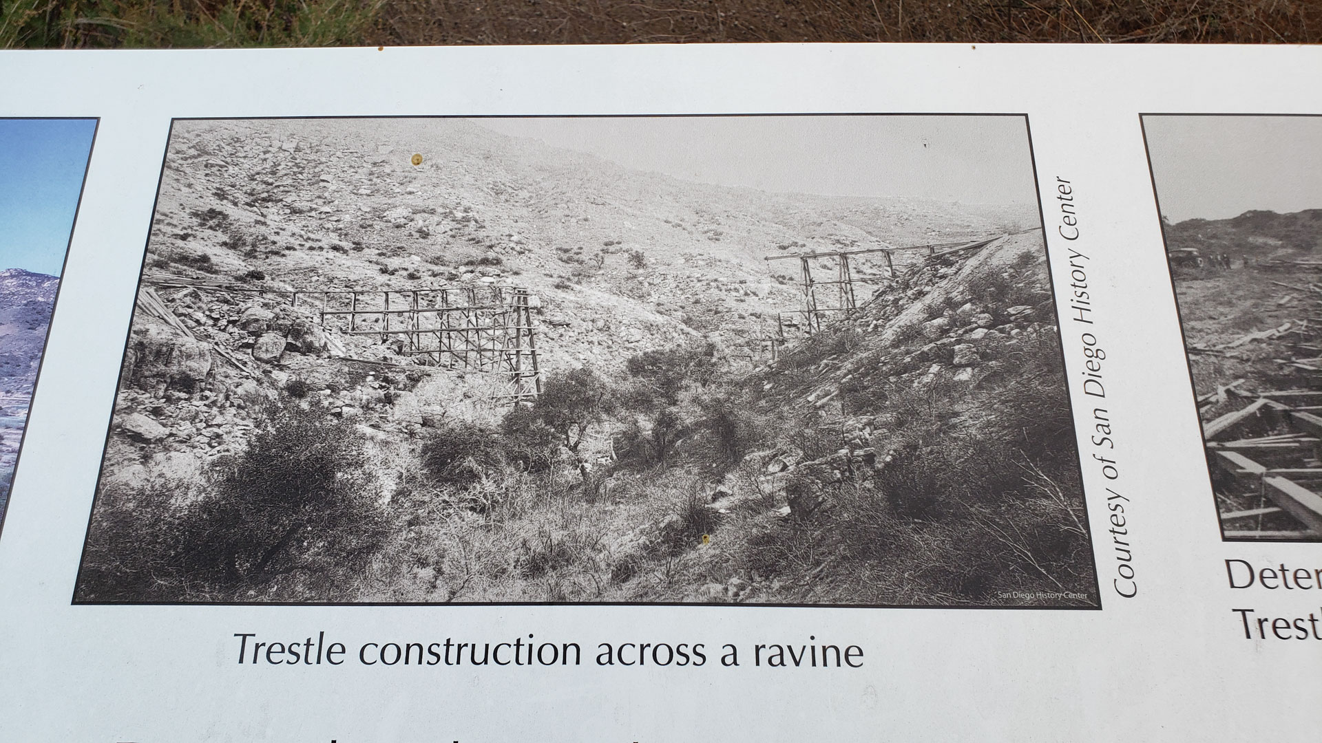
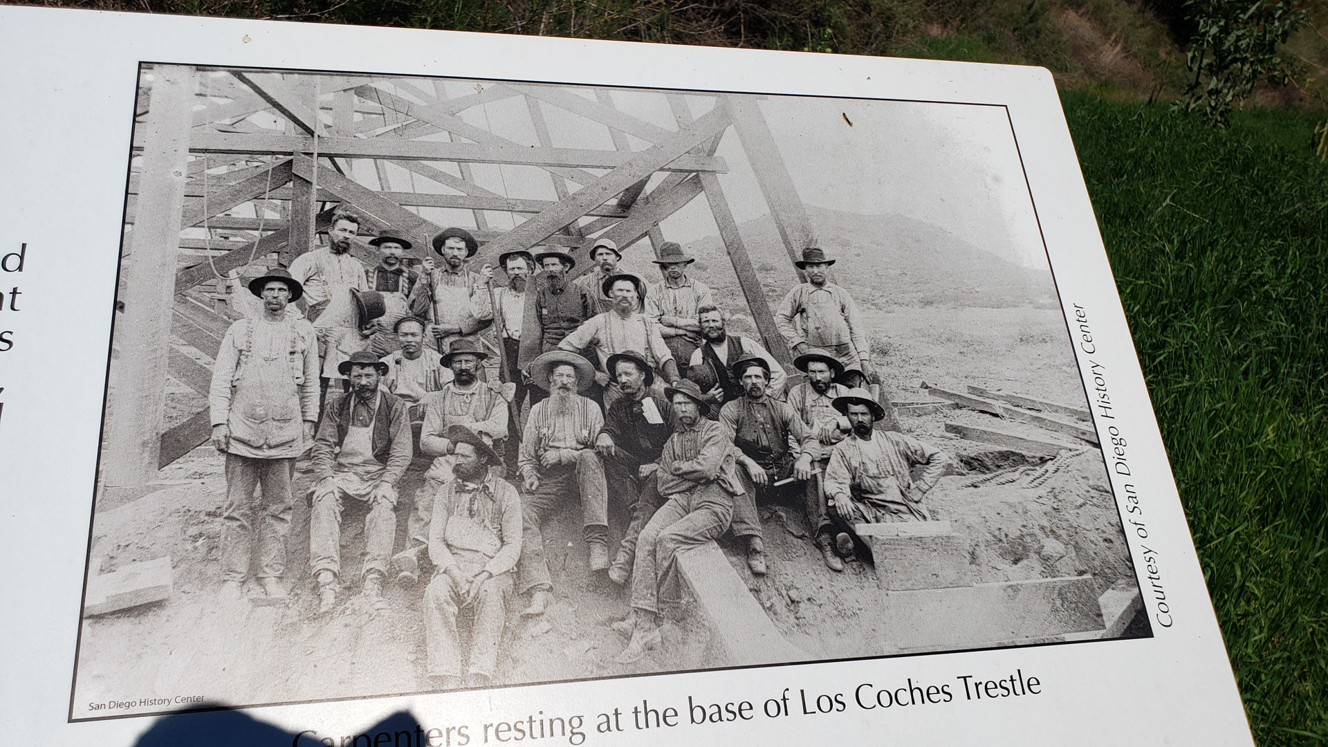
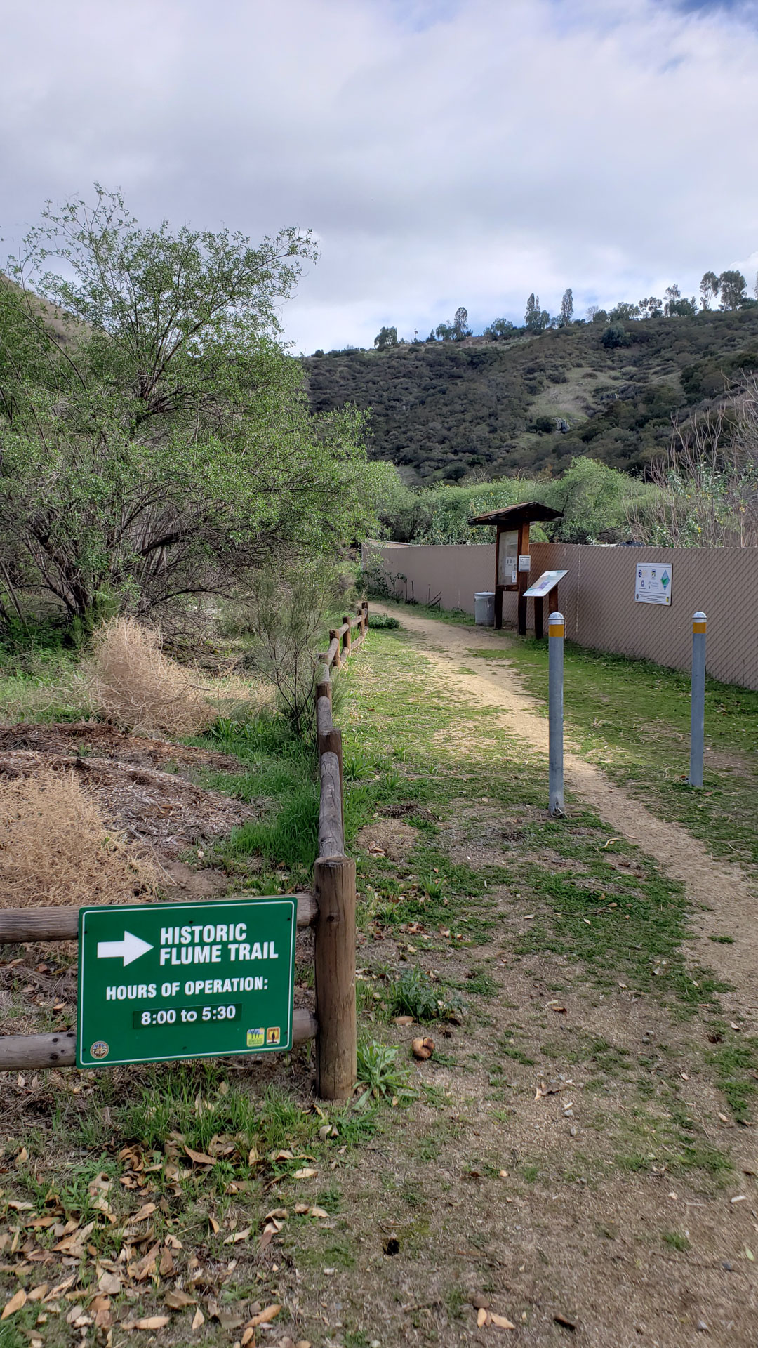
Numerous informational kiosoks along the route
- The History of this place is very fascinationg and checking out all of the kiosks is well worth your time. Here are just a few online resources on the history of the flume.
- San Diego History Center
- Lakeside Historical Society
- San Diego Digital Archive