
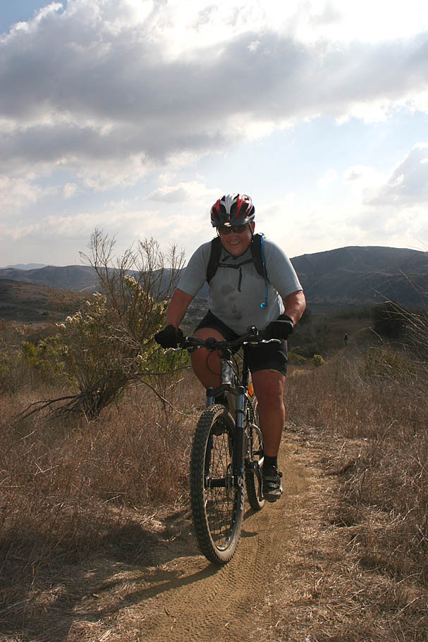
The San Clemente Single Tracks
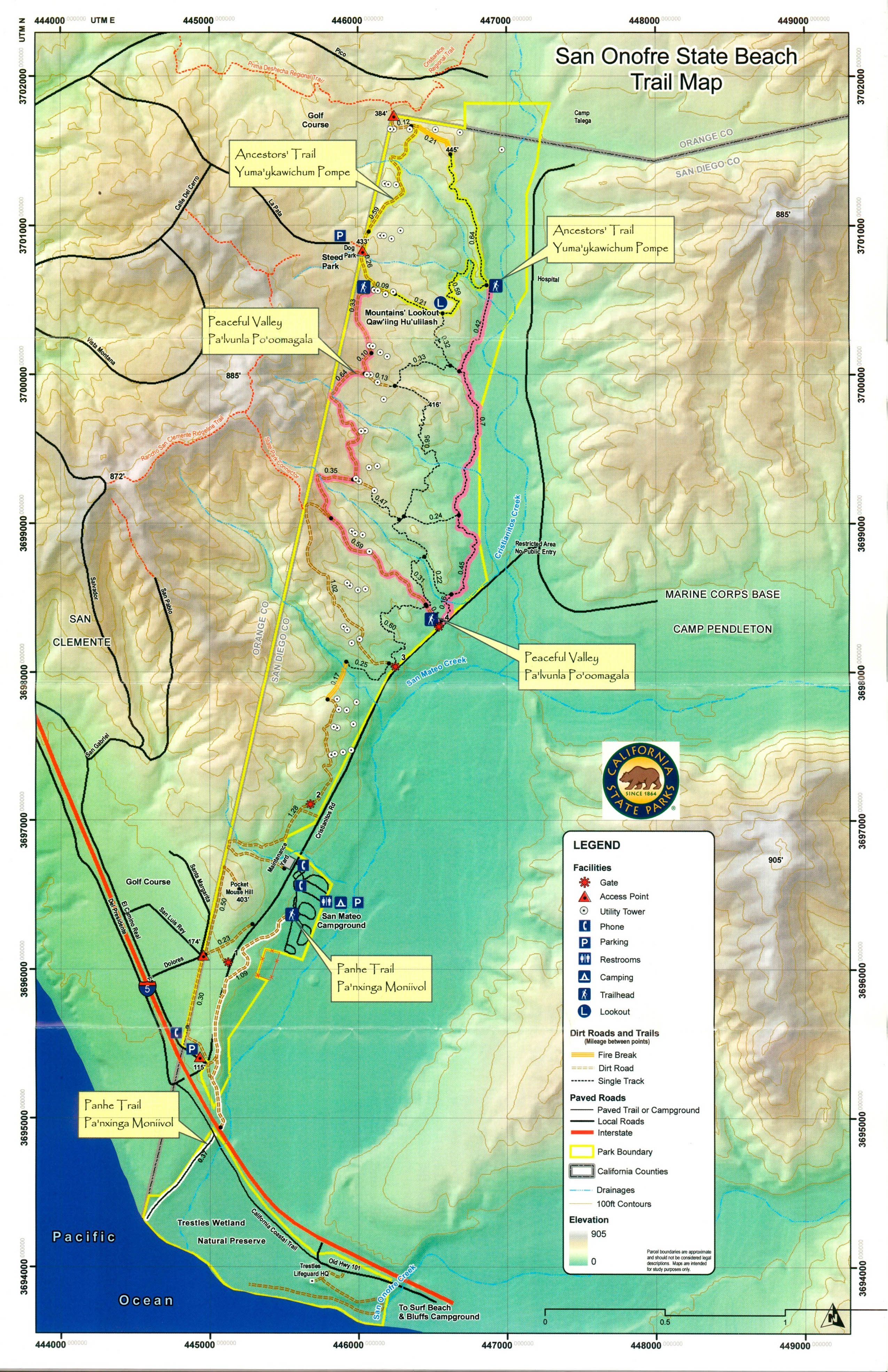
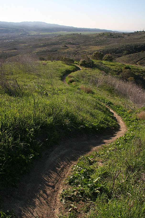
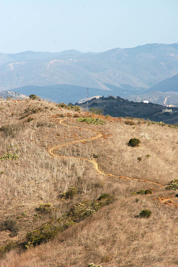
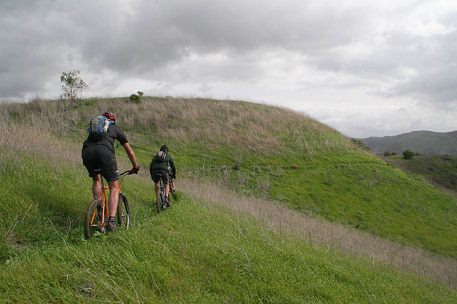
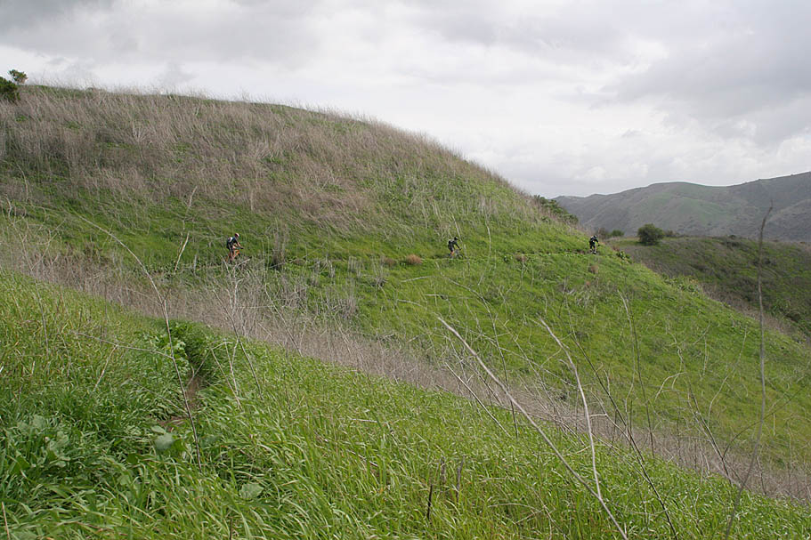
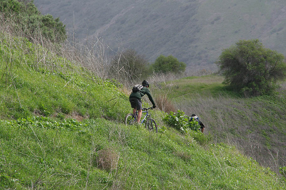
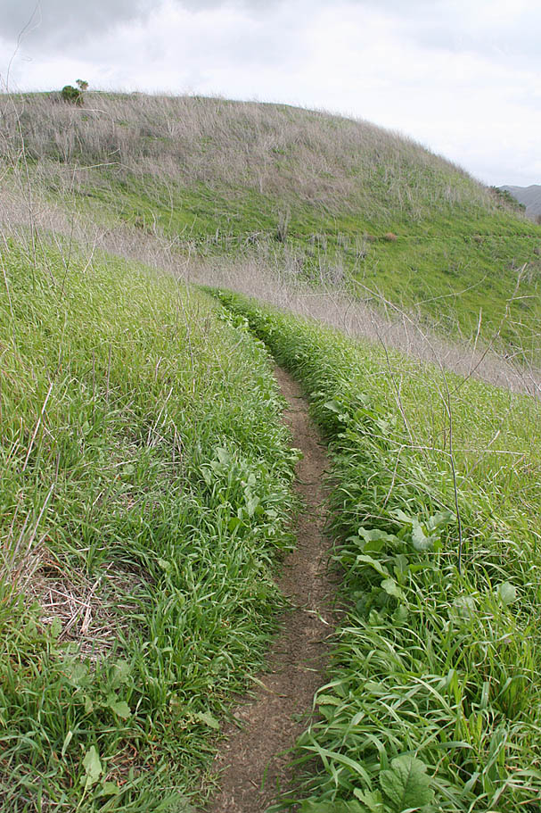
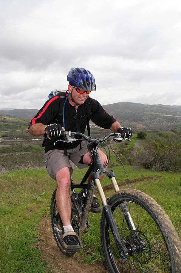
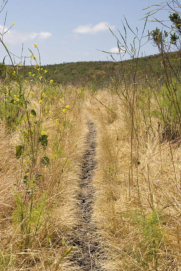
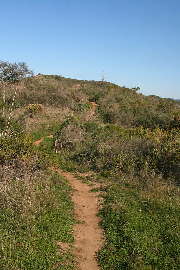
 The San Clemente Single Tracks is the common name for the trail network at the inland most portion of the San Onofre State Beach. The place has been around for quite sometime and is still often referred to as "The Weed Patch" by those who created and maintained the trails. Most of the trails here were in the social status until a few years ago when the state beach managers legalized pretty much all of the existing trails. Legalizing these trails helped to better document the recreational use of this area and assist in stopping a toll road 241 from coming right through where the trails reside. (Click on the banner to the right for more information on what you can do to help) The result, miles of some of the nicest legal coastal grassland singletrack you find in Southern California. What is really cool about this trail network is that it is real singletrack being only 12-16 inches in most places. It is really tough to ride all of the trails here in a single setting as the layout requires you do some doubling back here and there, but 15 plus miles with just a few do-over sections is easily obtainable here. The San Clemente Single Tracks is the common name for the trail network at the inland most portion of the San Onofre State Beach. The place has been around for quite sometime and is still often referred to as "The Weed Patch" by those who created and maintained the trails. Most of the trails here were in the social status until a few years ago when the state beach managers legalized pretty much all of the existing trails. Legalizing these trails helped to better document the recreational use of this area and assist in stopping a toll road 241 from coming right through where the trails reside. (Click on the banner to the right for more information on what you can do to help) The result, miles of some of the nicest legal coastal grassland singletrack you find in Southern California. What is really cool about this trail network is that it is real singletrack being only 12-16 inches in most places. It is really tough to ride all of the trails here in a single setting as the layout requires you do some doubling back here and there, but 15 plus miles with just a few do-over sections is easily obtainable here. |
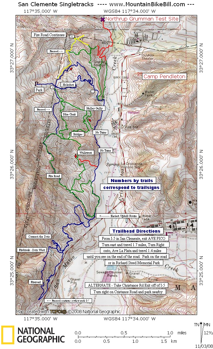
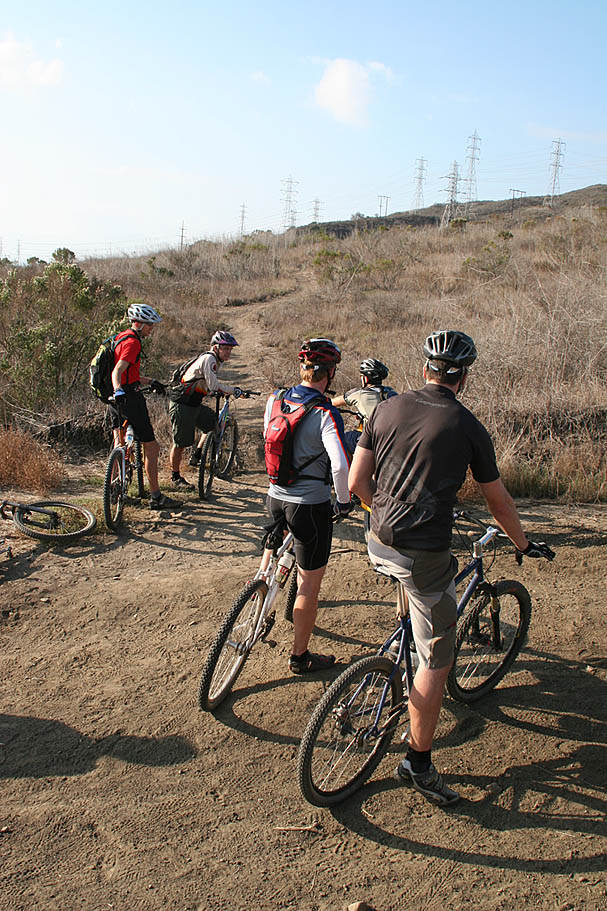
Directions: There are two primary trailheads to start from. I prefer to start from Steed Park.
|
Data Files: These data files are not very well setup for you to just upload and go as they contain numerous tracks that are not continous and often overlap. Use them for "Situational Awareness Only". |
For those of you looking for GPS files you can upload right to GPS and go for a ride, John Early (who knows the area like the back of his hand) has graciously provided a few tracks for your riding pleasure.
Take your pick from: |
Trail Etiquette reminder: The great singletrack out here will only stay single if we all stay on the trail.
|
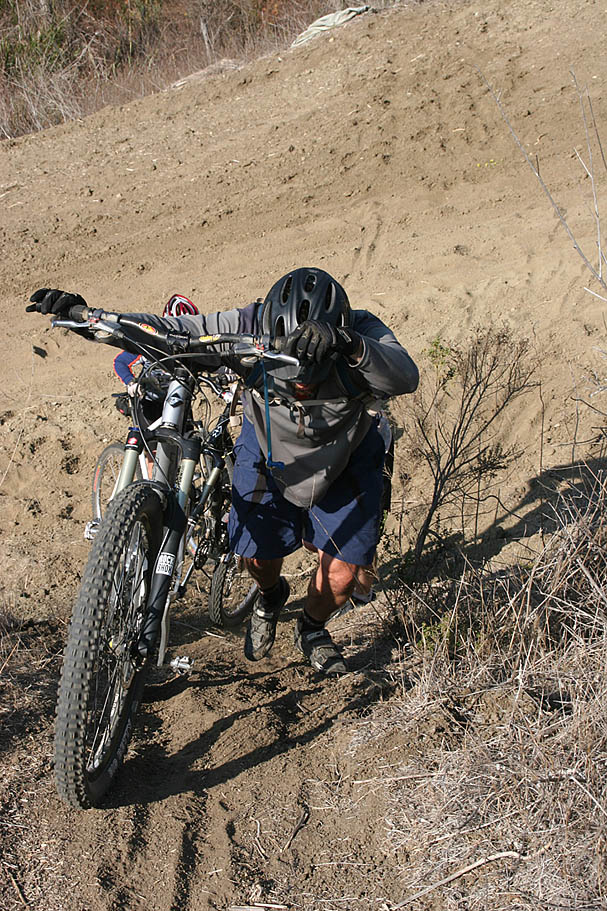
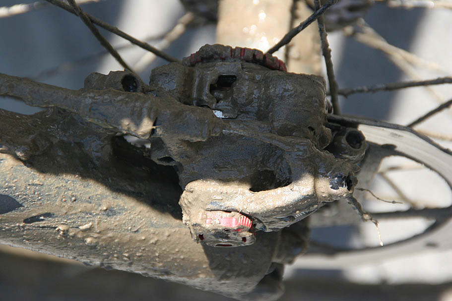 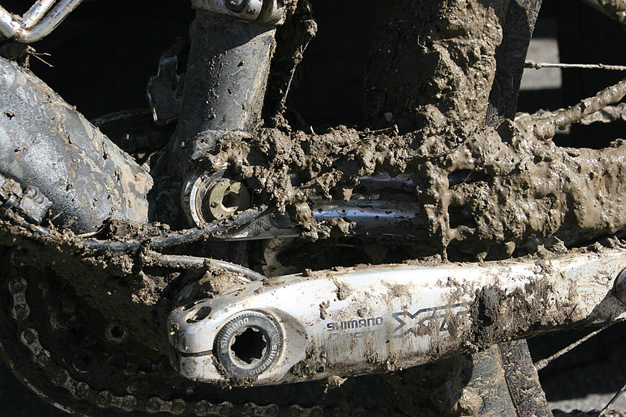 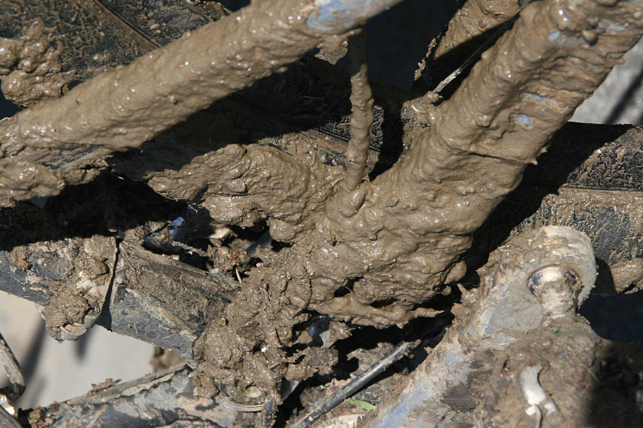 This place does not handle rain well at all so give the trails a few days to a week or more based on how sizable and long the rains have been. The soil here turns into that sticky stuff that clumps and globs onto everything turning your bike into a 100+ pound non-pedaling no-wheels-rolling mess. |
| Description: I highly recommend you use my KML file with Google Earth while I describe the area. Zooming in and using the 3D feature also helps you see the lay of the land. Almost all of the trails I describe (as well as others) can be seen with Google Earth's aerial photos. |
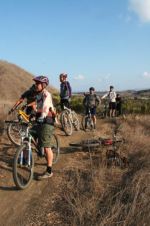
| This trail system is considered an Orange County Gem and the riders are really proud of this network and take care care it. While on a sizable group ride predominately consisting of Orange County riders, I pointed out that while the main trailhead is in Orange County, all of the trails are actually in San Diego County. Boy did that go over like a fart in church! For you OC types out there, please take note I have listed this trail in the Orange County section. :) |
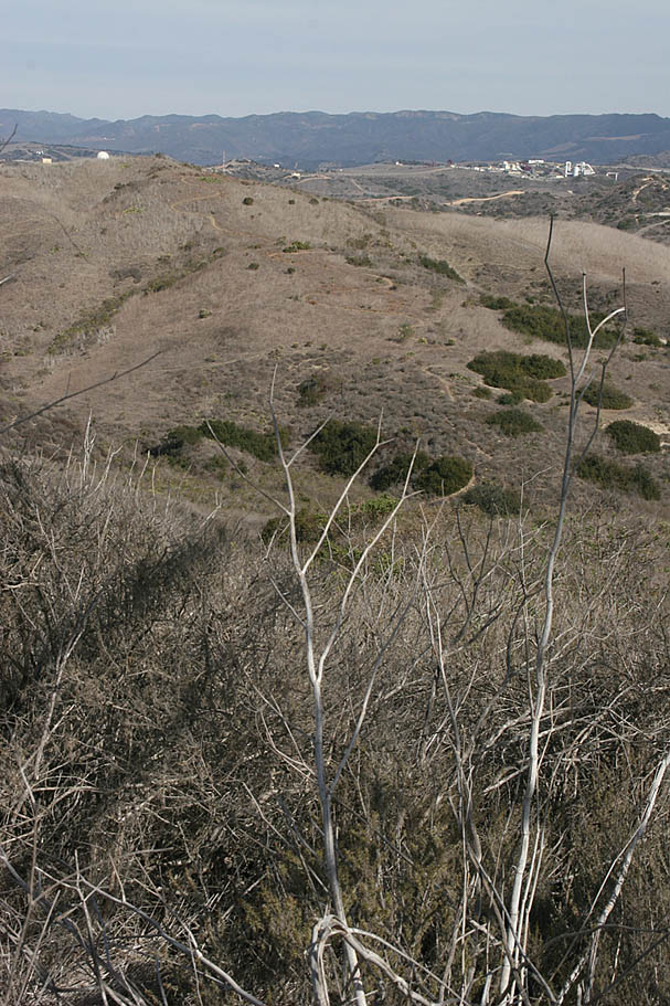
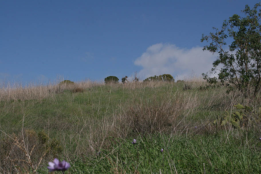
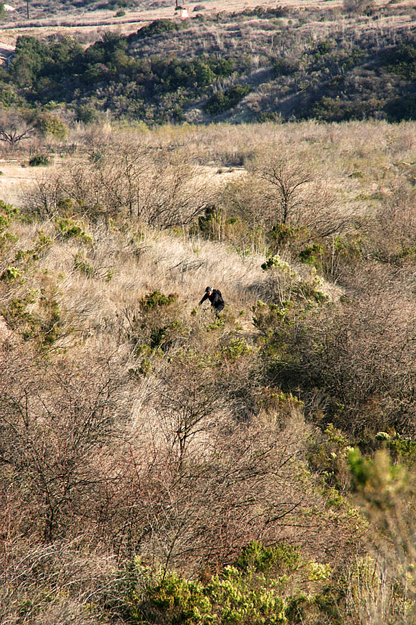
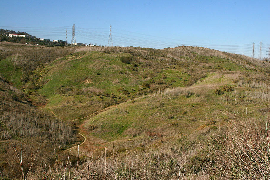
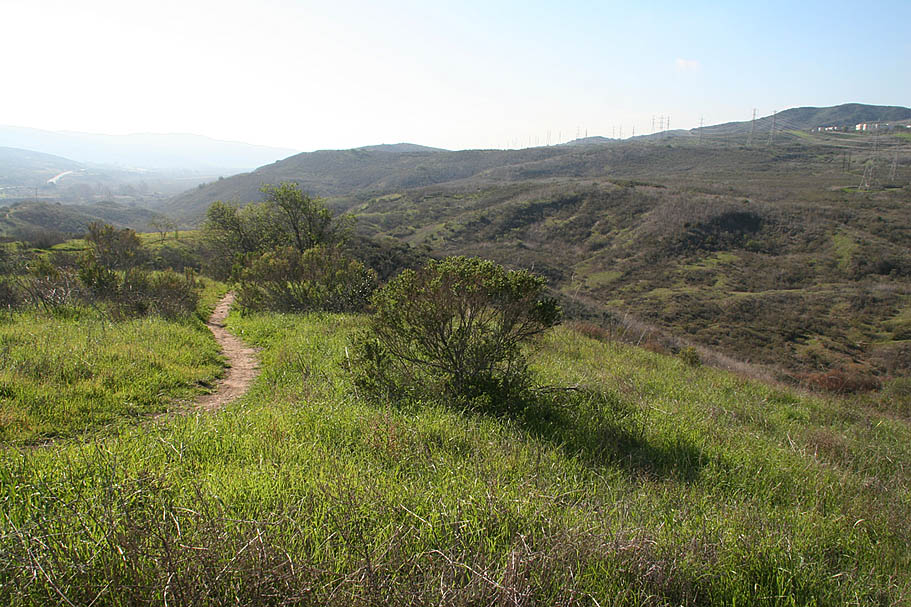
| This description is not like most of the my other reviews. There are a thousand different ways to skin the cat here. Even if I gave you exacting directions, they would most likely not translate well when out on the trail. So I'm going to give you a general description of trails in the north, middle and southern sections instead. While it is easy to find yourself unsure of your exact location it is somewhat hard to get lost-lost out here. |
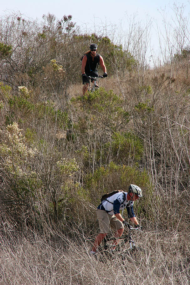
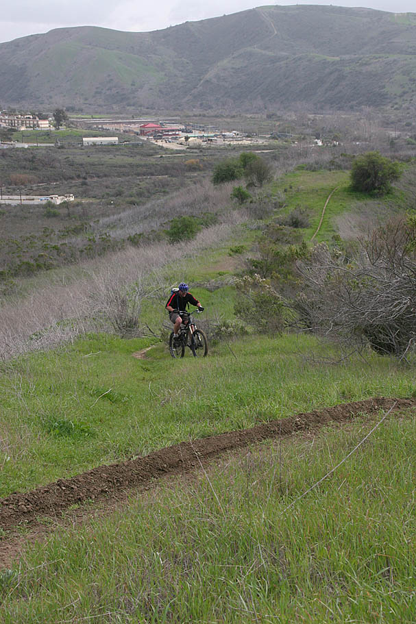
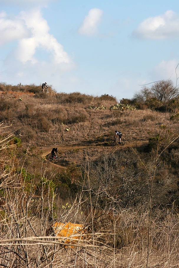
| When you start from Steed Park you are basically at the top of the trail system. There is a fireroad that runs north-side along the top of this trail system. At the bottom trail system is a singletrack called "No-Tools" which also bascially runs north and south as well. There quite a few trails that work their way between the two. Even if you get pretty confused you can typically just do down to get to No-Tools or go up hill to get to the upper fireroad. (Note: Some people refer to No-Tools as Ammo Cans as there are ammo-cans welded to the tops of small posts here and there along the trail. Not sure of what they were used for. No-Tools gets it's name from the fact that the guys who made the trail did not use any tools. That just road the same line over and over and the next thing you know, a trail) |
Middle Section
|
|
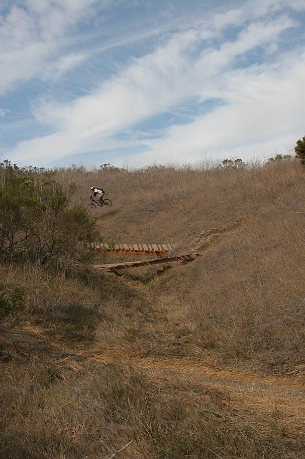
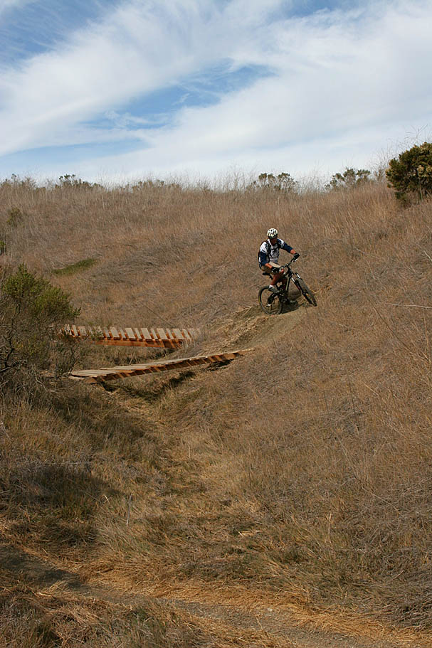
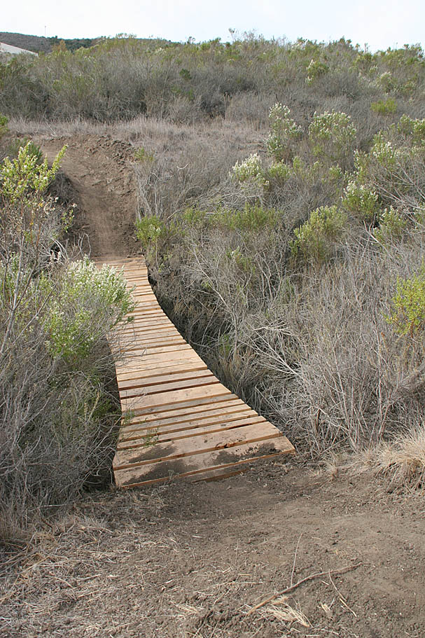
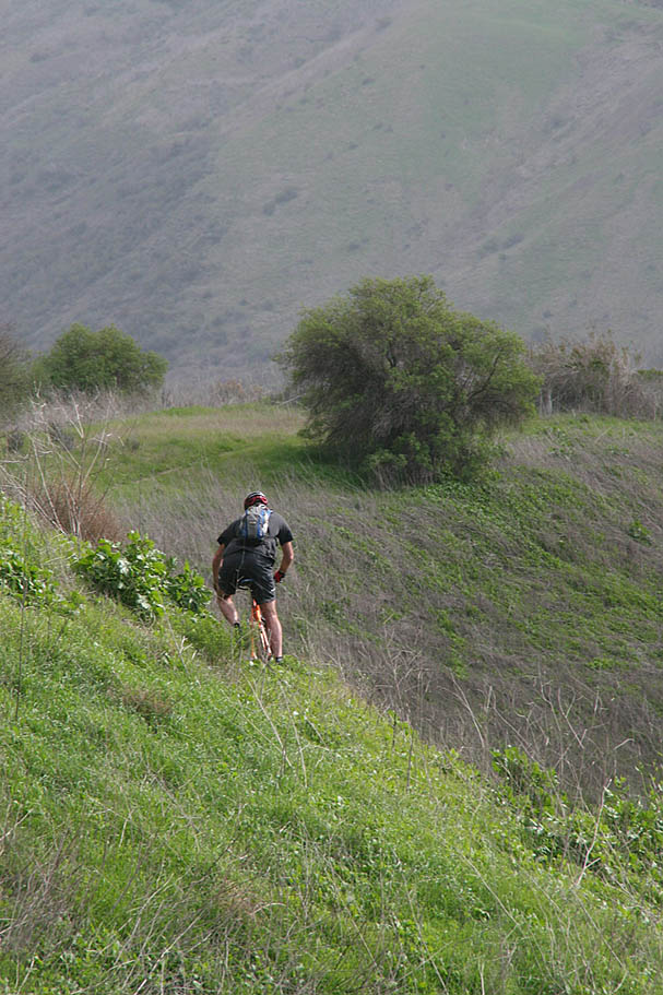
| If you turn downhill from here you can grab some speed in a hurry before you have to climb up a small knoll before descending further down the hillside. There is singletrack off to the left shortly before you have to start climbing up the knoll. This trail is Bridges. It is a lot of fun and yes it has a bridge or two on it. (Note: The bridge is large enough that it can be seen using Google Earth) Bridges takes you down to No-Tools in a hurry. Bridges is also one of the thougher climbs coming from the other direction. |
    |
|
|
| "No Tools" is basically the main connector trail at the bottom. It is also pretty darn fun so any combination of trails you take downhill from Steed Park will eventually lead you to someplace along this trail. It varies from twisty to fast and flowful with some steep but short up-and-downs interspresed along the way. While I can't remember the name of the trail, I have annonated on my map as the easiest uphill route. This trail was built by single-speeders (like many of th trails here) and it shows in the design. Instead of a series of typical switchbacks, this climb features beautifully curved radius turns that will allow you power through the turns and hopefully maintain momentum. |
Southern End
|
|
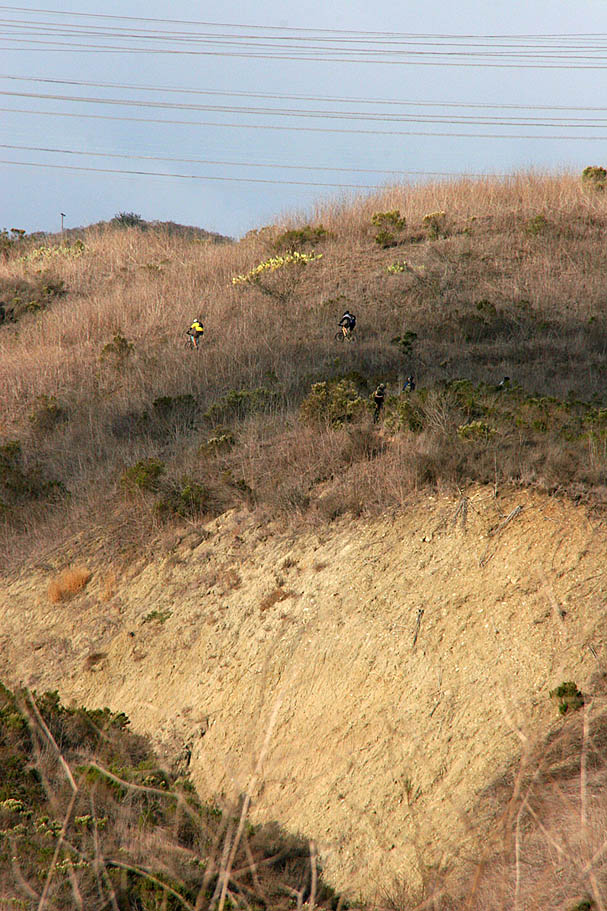
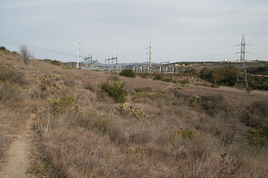
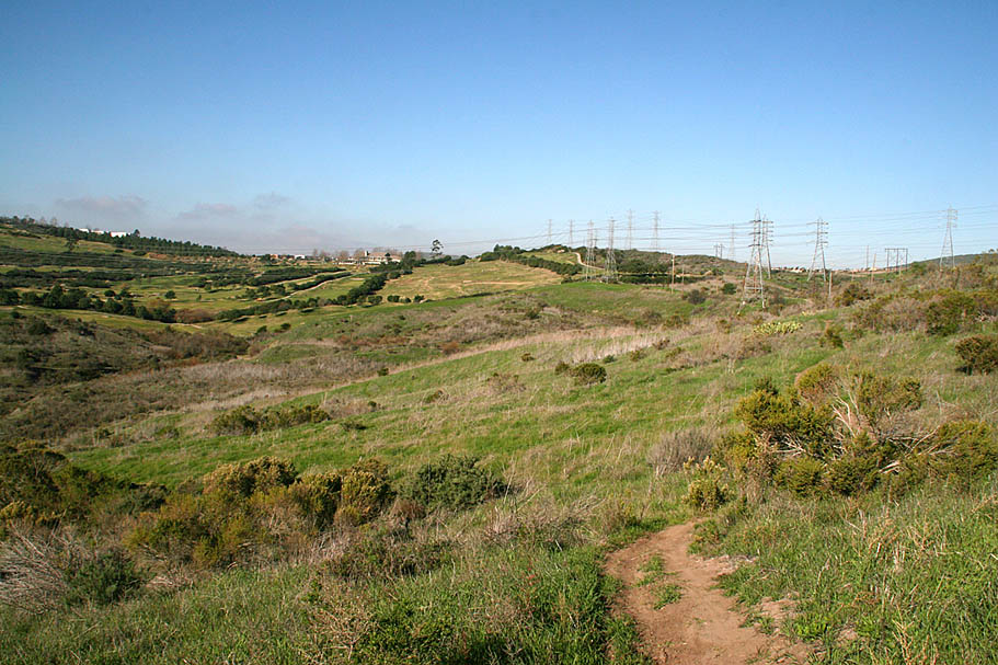
| Note: If you parked at Cristianitos Rd and El Camino Real or are at the San Mateo Campgrounds you will be coming in on the these fireroads by the powerlines. |
Northern End
|
|
|
Map and Trails Update
|
SummaryWell two things are pretty certain. First, you are most likely more confused about this place after reading this than before you started. This place can be a little confusing and no matter what I write you will need a few to a dozen rides out here to figure it out. I like places that I always feel like I'm exploring. Second, I'm pretty sure you are going to enjoy yourself if you take a ride out here. You should have noticed that I have pretty much every seasons covered for this place. While the greenery of springtime is not to be missed, it is a great place to ride anytime of year. |
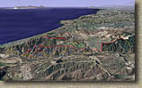 It was not long after I first published this page that the locals started feeding me lots of trail names and other maps. These were all better than the stuff I created. Most of the names were different than what I had used. There seemed to be just as many names for the trails as there were trails themselves. So instead of wholesale changing my map around. I have included some of the other data I got. To the left is a Google Earth shot of the area that depict a bunch of the trails and their names. Here is