
Orosco Ridge - Boden Canyon Loop
Located near Ramona this 14.2 mile loop with a total of 2,220 feet of total elevation change features a good climb onto Orosco Ridge which creates the western rim of Pamo Valley followed by a descent into Boden Canyon for a nice cruise through mature oak groves and pictureque meadows. The loop is finished off by using the Lower Santa Ysabel Truck Truck which in many places looks more like singletrack than an old dirt road.
UPDATE: Unfortunately it turns out you can't legally do this route. The California Dept of Fencing in Wildlife Fish and Wildlife (CDFW) owns several parcels of land in Boden Canyon as part of the Boden Canyon Ecological Reserve. CDFW does not permit biking in the reserve. Since I first published this page they have signed/resigned the boundaries to reflect this use policy. I have annotated the CDFW property boundaries on my PDF map. If the status of this place changes or I get some additional details, I'll post it as a blog post. It is worth noting that CDFW does not allow anyone to cross thier property that cuts across the Lower Santa Ysabel truck trail which means there is no legal access using the the small highway 78 pull out. In the interim you are more than welcome to hike in Boden Canyon if you start in Pamo Valley. If however you are a hunter with a license you are more than welcome tromp around the reserve and blow the heads off of upland birds with a shotgun when they are in season. But please don't be something so reprehensible as quietly laying down a few bike tracks. You are free to make your own decisions.
- Pamo Valley: There are quite a few place to park near the junction of the Orosco Truck Trail and Pamo Road

- Highway 78: Located a mile east of the North Clevenger trail in a small pullout, this is an extremely small spot that can only handle two vehicles. There is a no parking sign in front of the gate so ensure you do not block the gate.
Orosco-Boden Long Loop: (14.2mi, 1,546'▲▼)
Orosco-Boden Short Loop: (10mi, 1,220'▲▼)

HAZARDS: Pamo Valley can get exceptionally hot during the summer and there is no shade on Orosco Ridge. There are not year-round reliable water sources on this route. Boden Canyon has plenty of poison oak in the north part of the canyon. It is not impinging to the trail but it is just off the trail.
Trail Names Note: If you look on various different mapping sites as well as some printed maps, you will see a difference in names. What is currently referred to as the Lower Santa Ysabel Truck Trail is USFS Road 12S04. but Google and other shows it incorrectly as FS 12504. The Orosco Ridge Road (OB-TH to OB-2 on my map) is Orosco Ridge Road USFS Road 12S02. It can be found shown as the Orosco/Guieto Truck Trail, Orasco Truck Trail and Drasco Truck Trail on maps dating back as far as 1949. The northern part of the trail down through Boden Canyon was shown as a dirt road in 1942 and as an unamed trail in 1949 and is currently listed as anywhere from nonexistent and Undefined Trail 82 to Orasco/Guieto Trail Trail. Between OB-1 and OB-6 is Boden Canyon Road, FS 12S03. It is often shown as Drasco Truck Trail which is a double mispelling of Orosco. The Guejito Truck Trail is FS 12S01 and it is not part of this loop. It is incorrectly drawn through Boden Canyon on Google and several other sites. This error was most likely caused by a private land owner cutting a dirt road down the west flank into the canyon between OB-3 and OB-4.
Ride Notes:
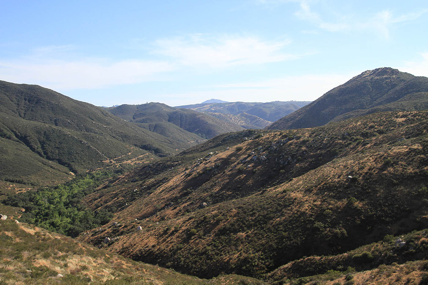
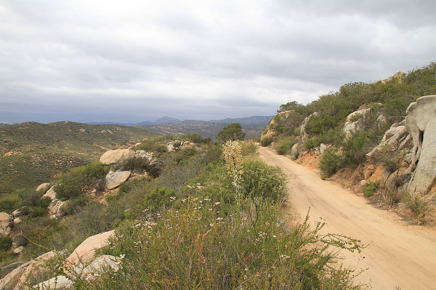
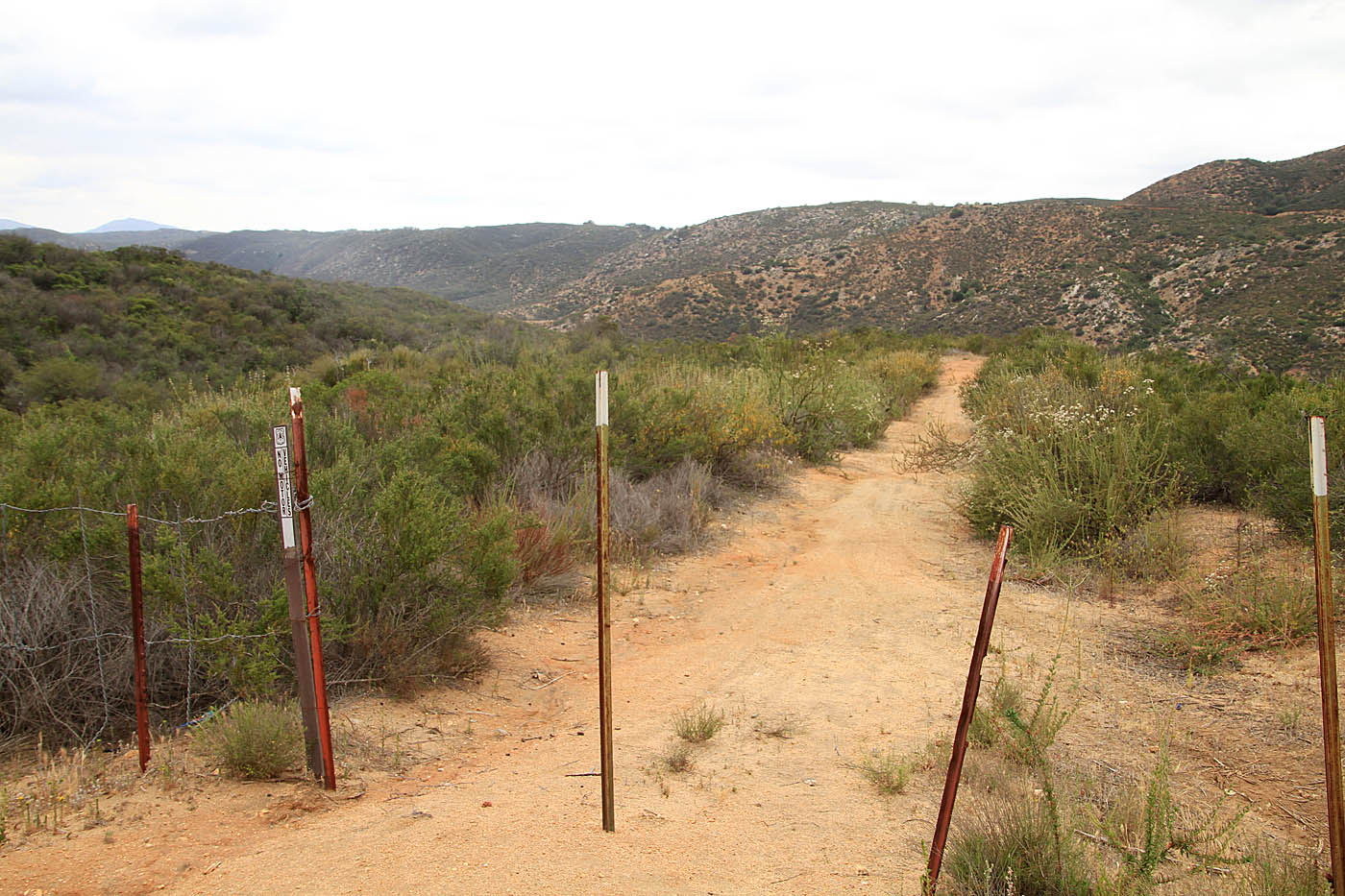
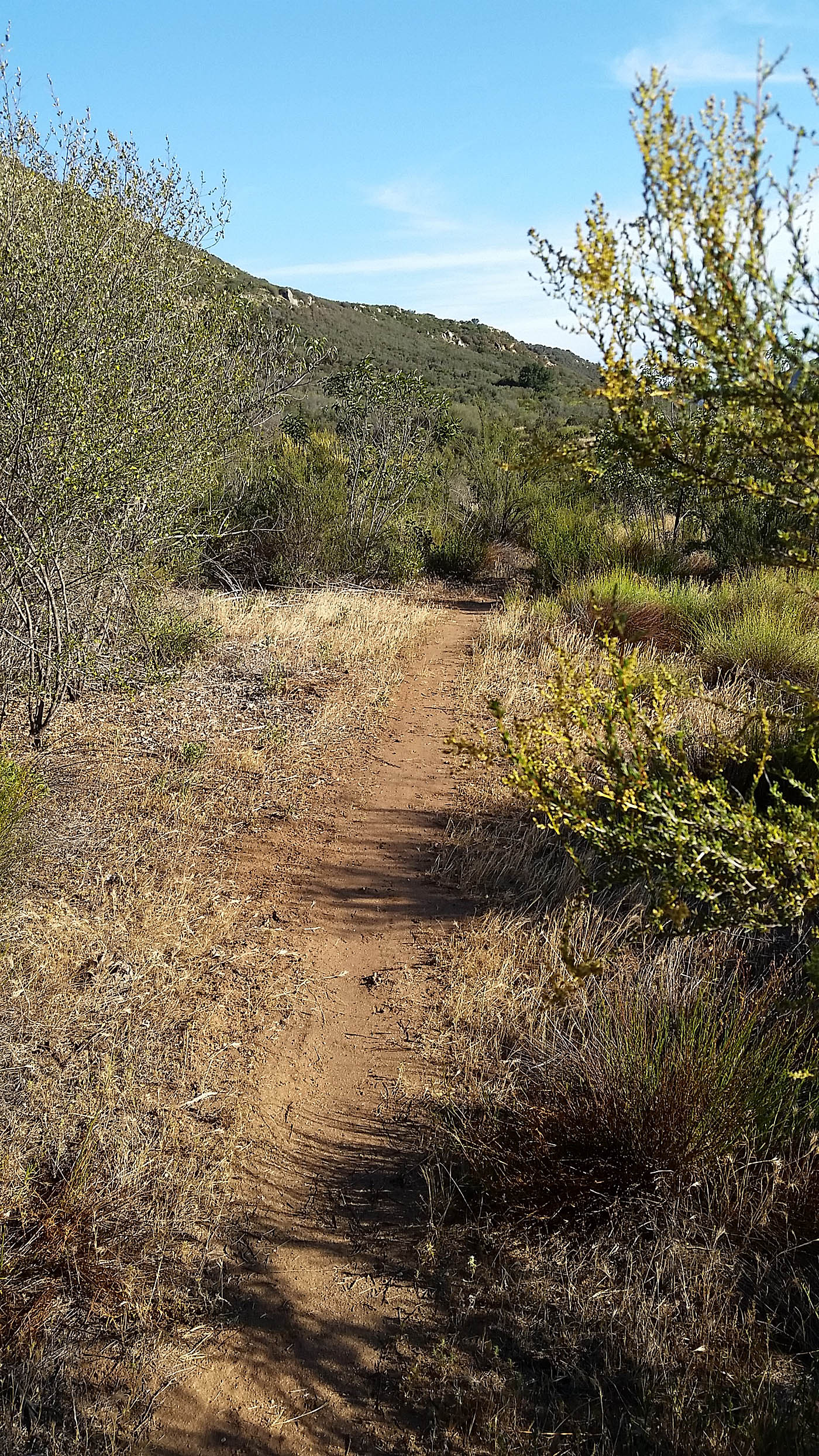
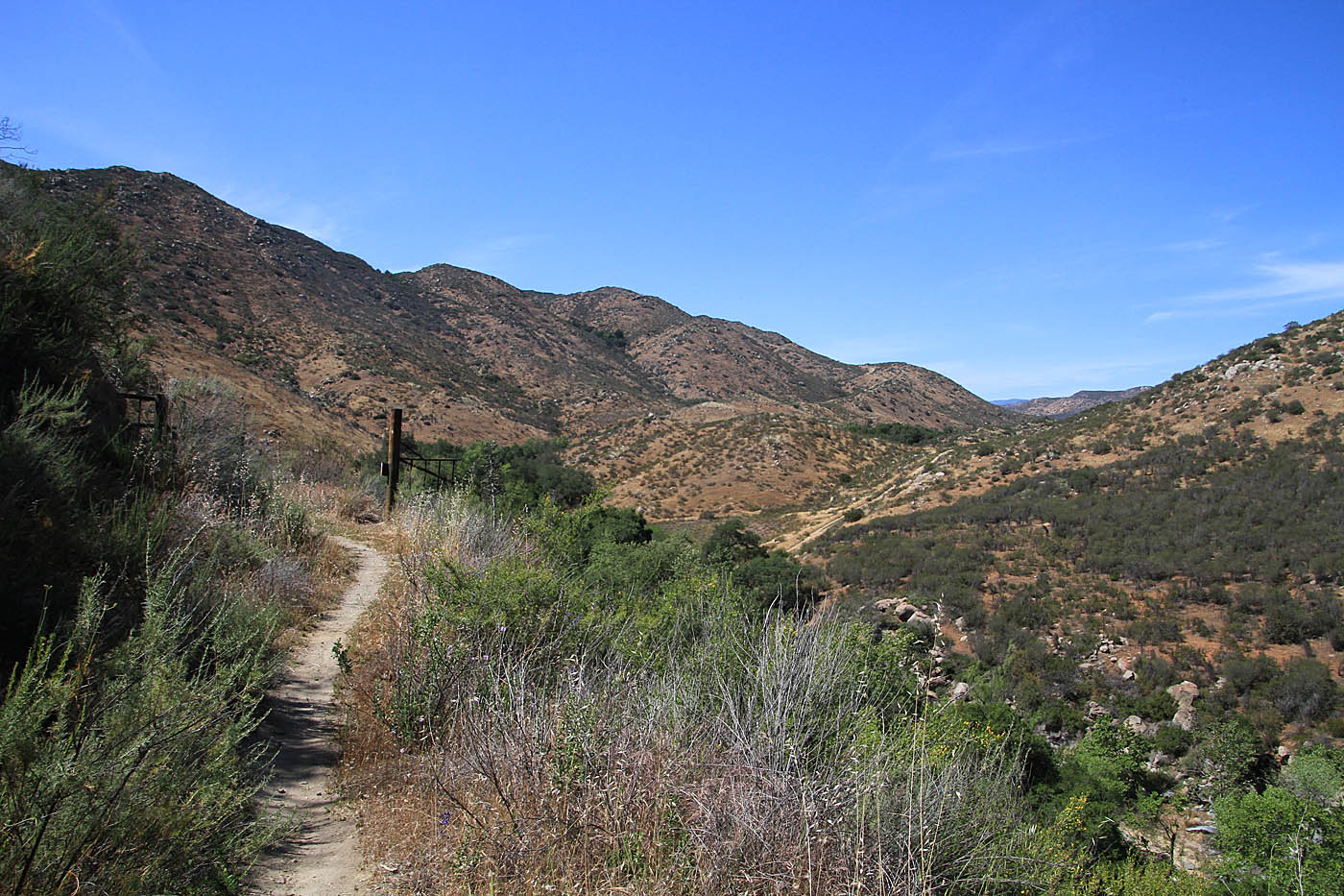
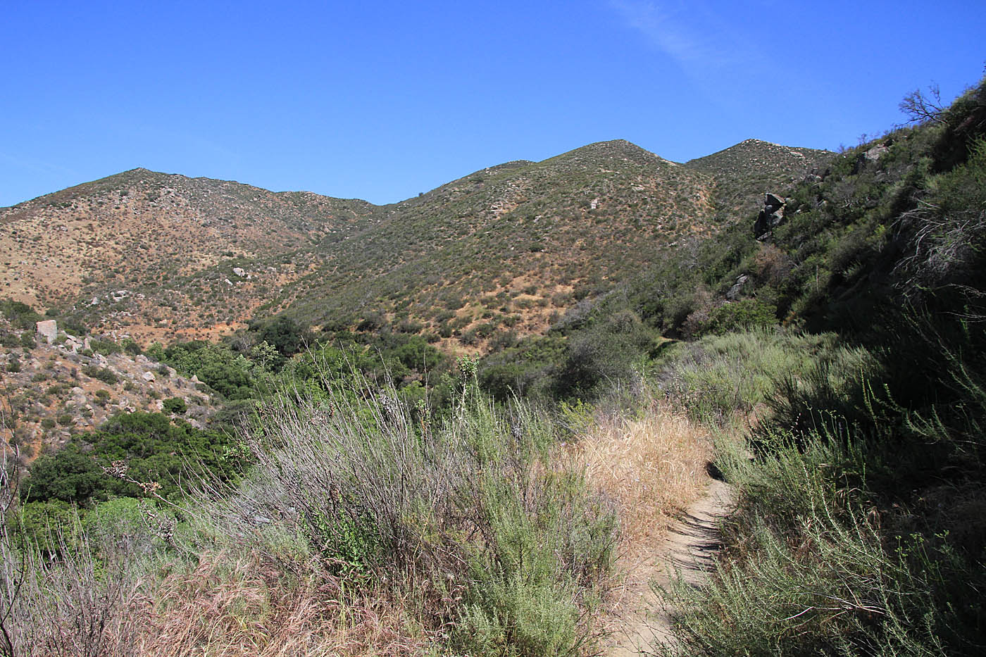
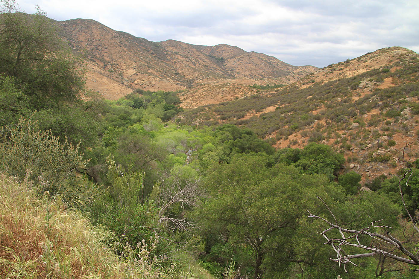
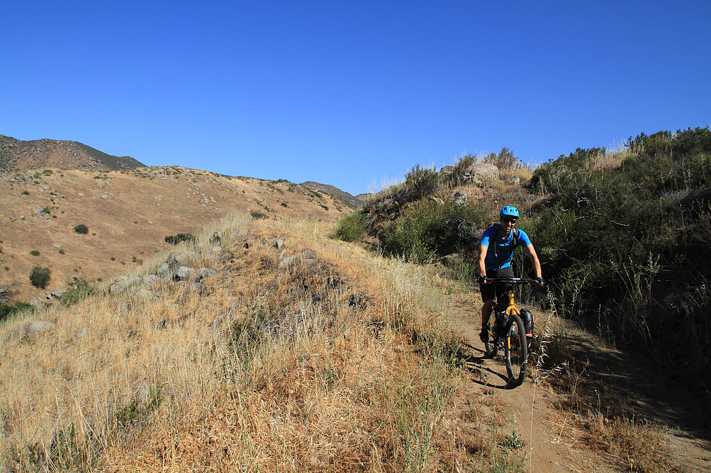
This ride starts from the junction of the Lower Santa Ysabel Truck Trail (FS 12S04) and the Orosco Ridge Truck Trail (FS 12S02) at Waypoint OB-TH. From the junction turn right (north) onto the Orosco Ridge Truck Trail. Shortly after you start the climb you will transition from the shade of trees to an open chapparal landscape. The climbing is not particularly hard as you wind your way up onto Orosco Ridge. The view of Pamo Valley and Black Mountain to its east will continue to get better as you climb. Looking to your south you should start to see the cut in the terrain of the Lower Santa Ysabel Truck Trail that you will be on later in the ride.
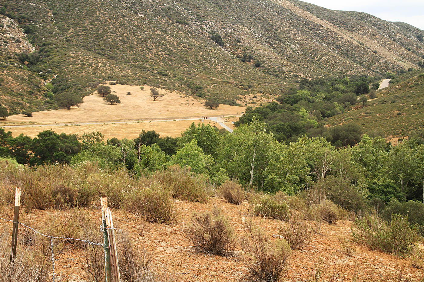
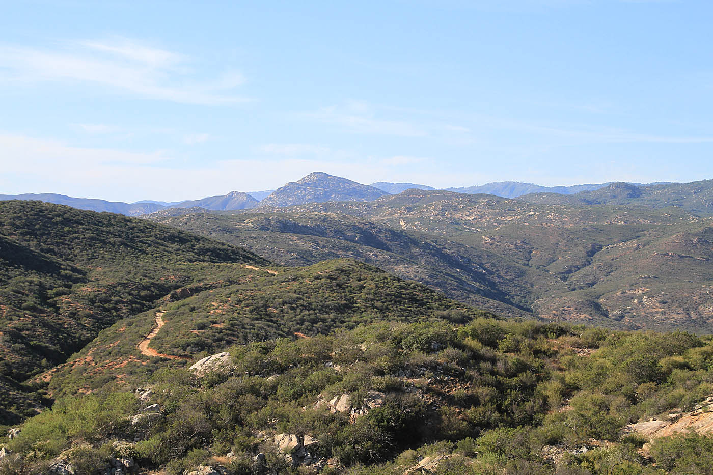
Views from early in the climb
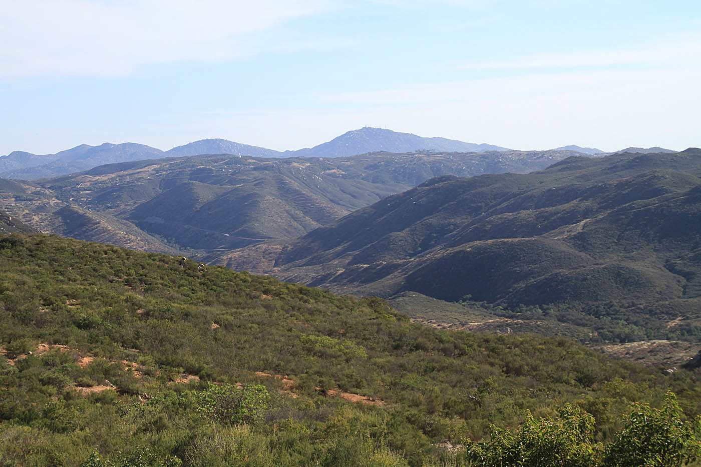
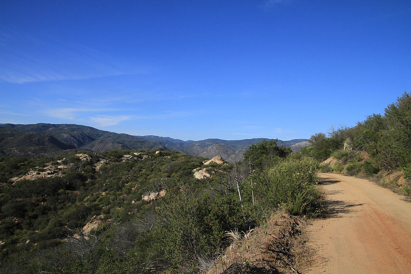
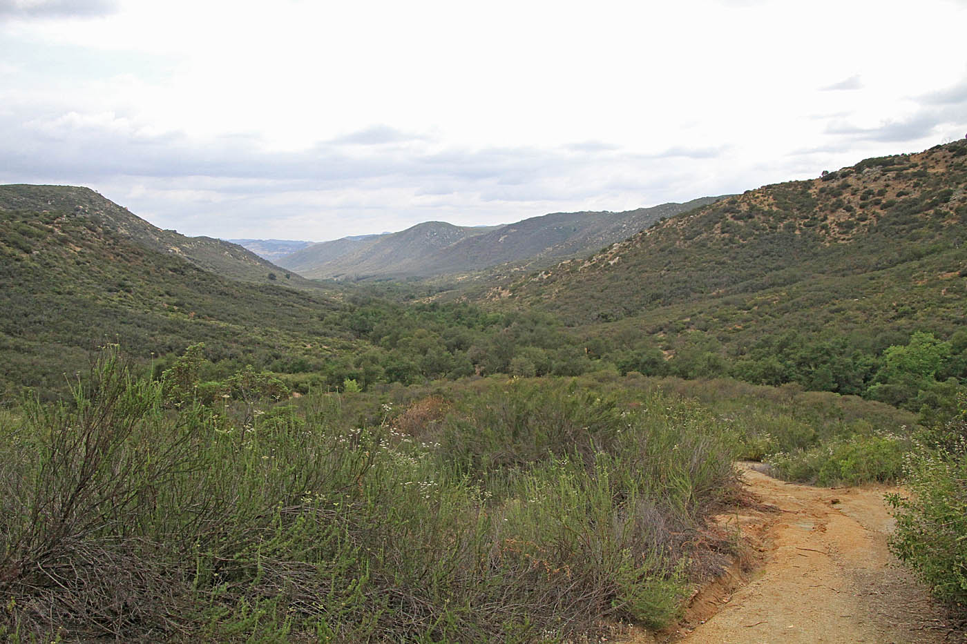
2.85 miles (OB-1) into the ride you would come to the junction with Boden Canyon Road (FS 12S03). While this is wide fireroad up here at the top, it is fairly narrow singletrack at the bottom in Boden Canyon. (Note: I have not ridden down this way, just seen the top and bottom). From this junction you will hang a right (north) and continue with the climbing on the ridge. There are some nice view along here and to the southwest you should have some view of Mount Woodson
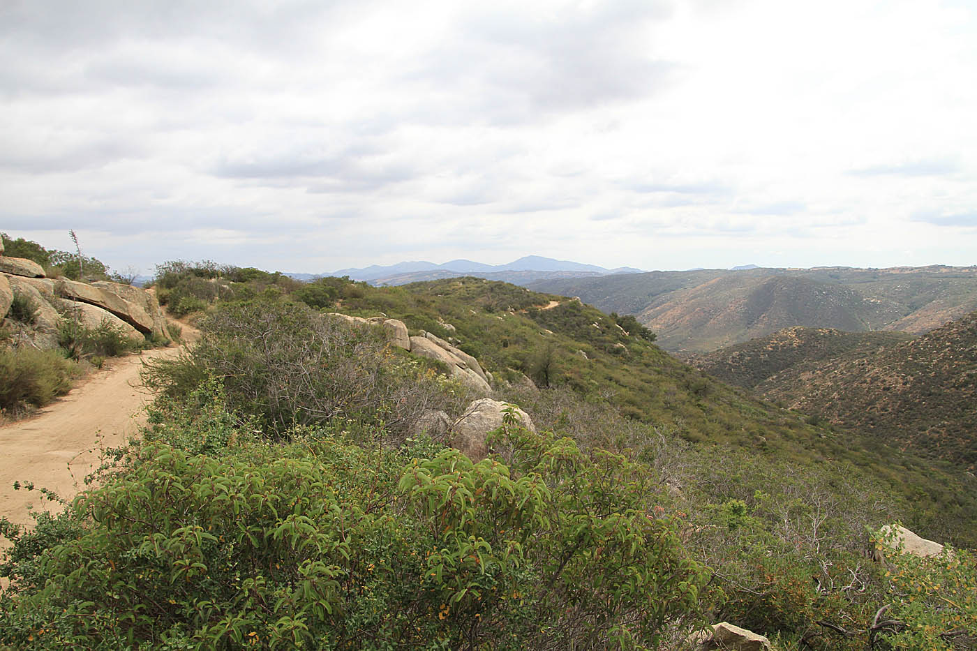
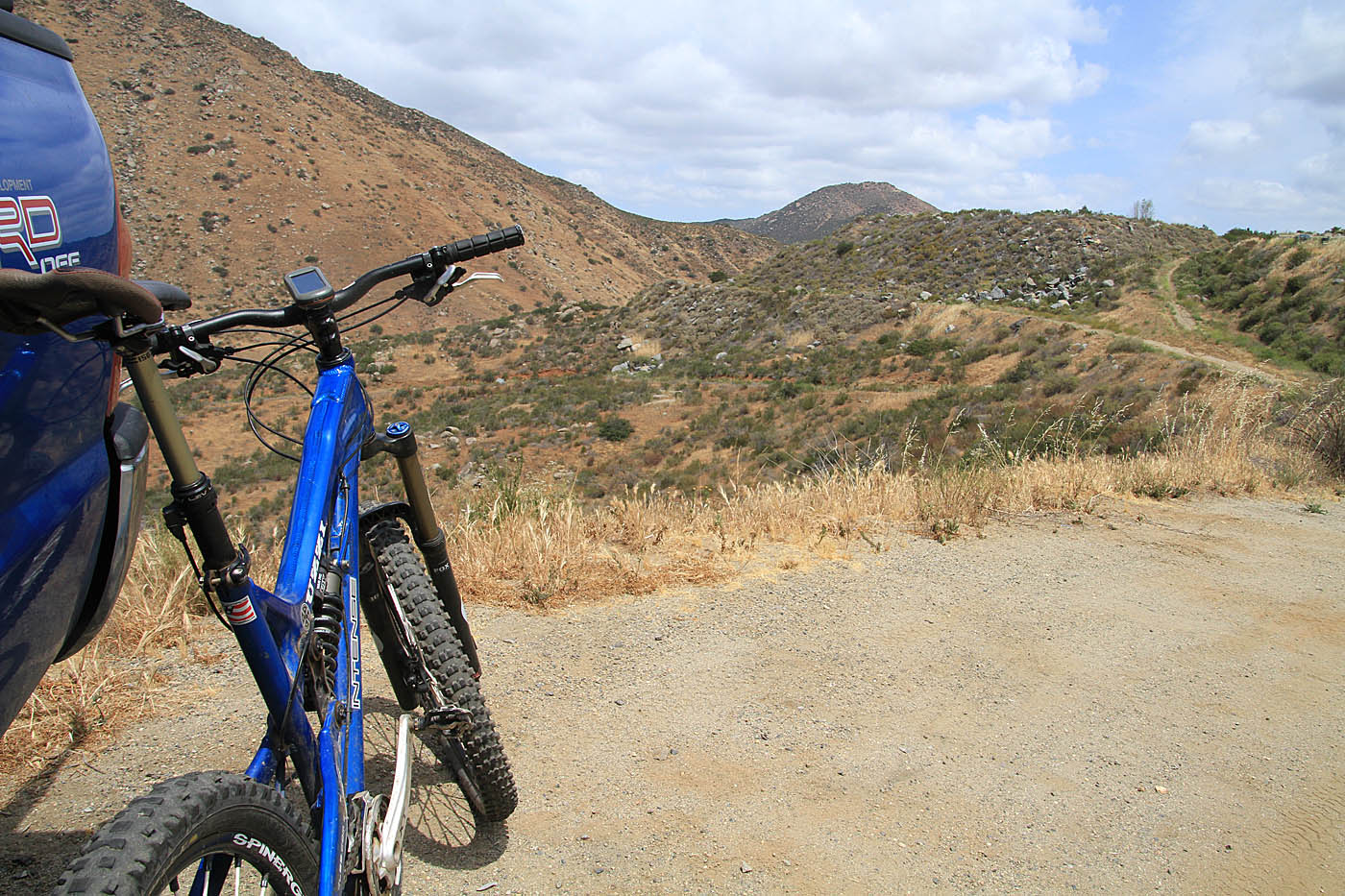
More views from along Orosco Ridge
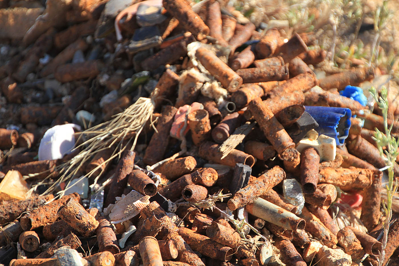
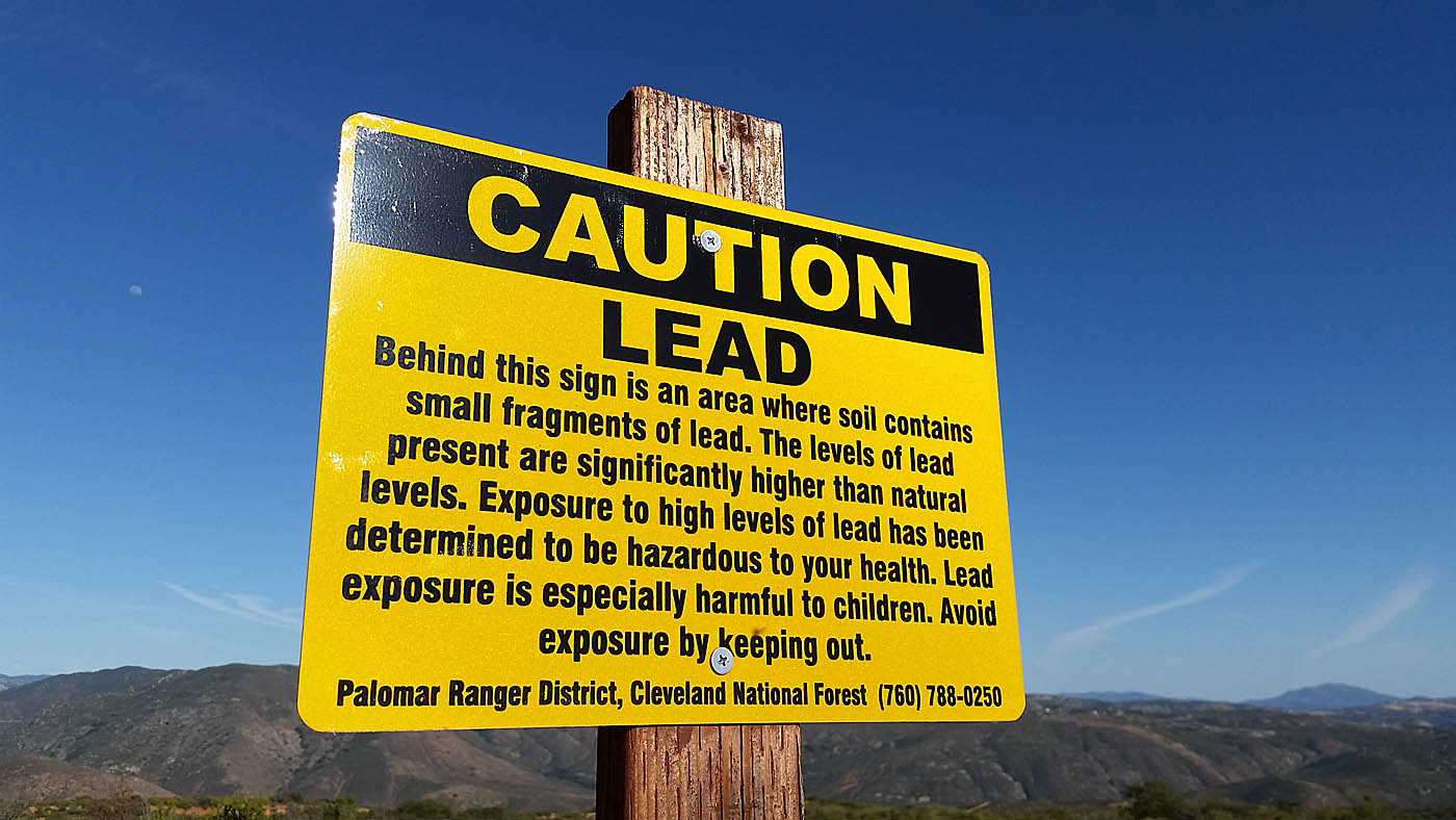
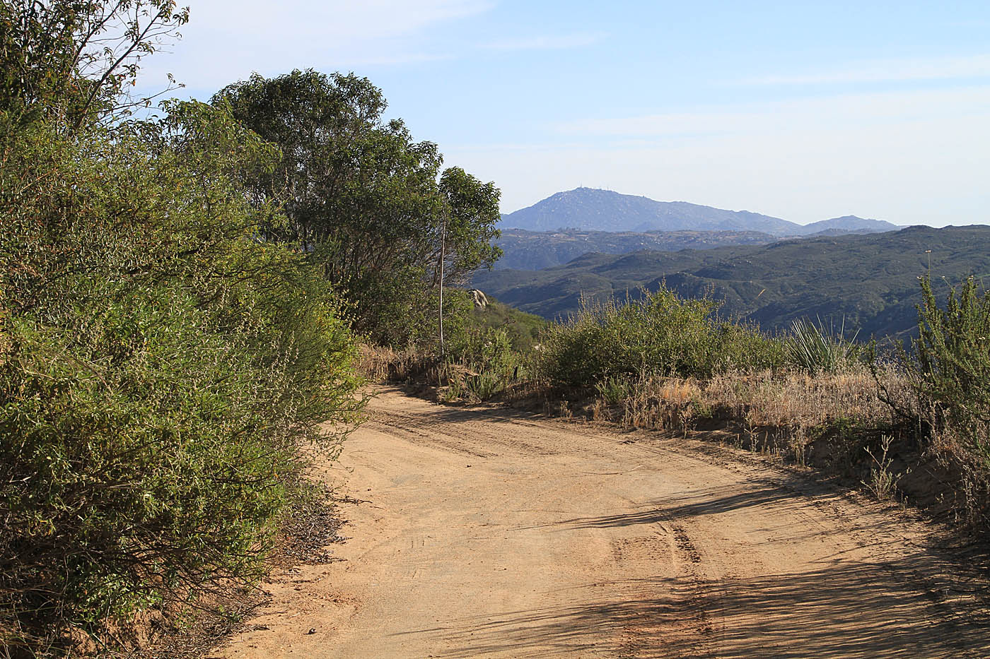
Orosco Ridge used to be an open target shooting area that has now been shutdown. You will however see lot of remains of that activity as well warning signs about lead.
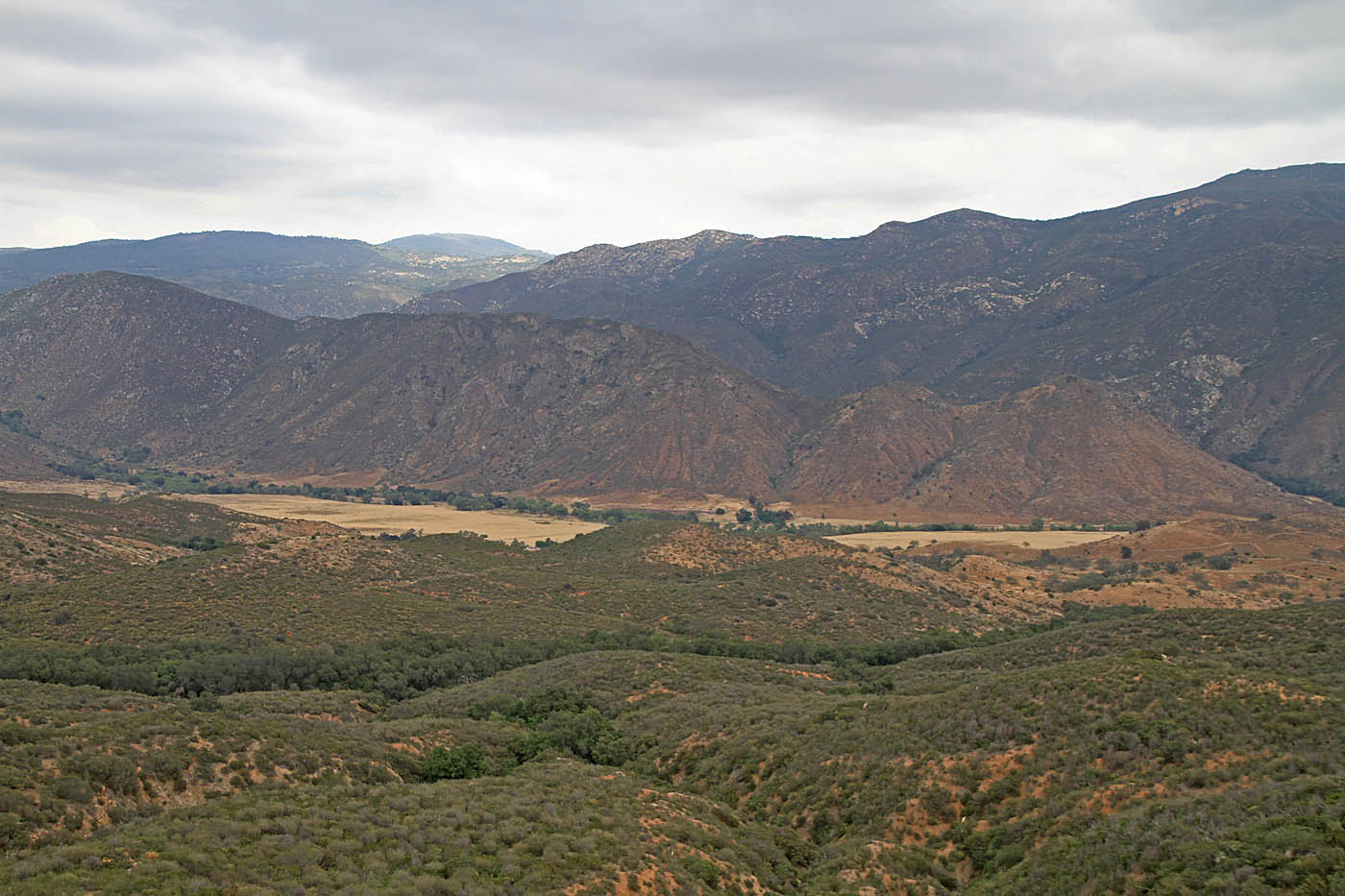
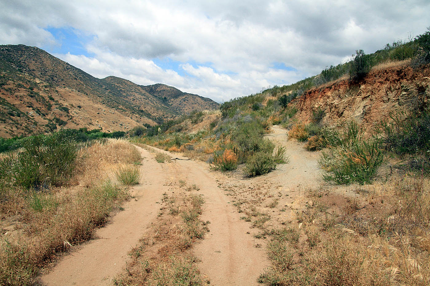
At 3.88 miles the bulk of the climbing on the ridge will be over as you get in some descent for short while before you have to do a little more until 4.94 miles where you will descent down to the junction of the Boden Canyon trail at 5.68 miles (OB-2). Turning left (west) here you will start out as an old rutted doubletrack that will have you have to switch sides a time or two as the track descends sharper than the your previous efforts on this route.
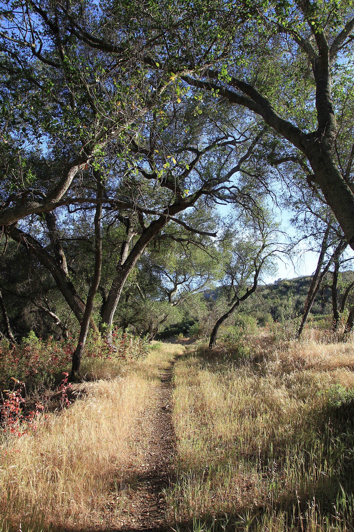
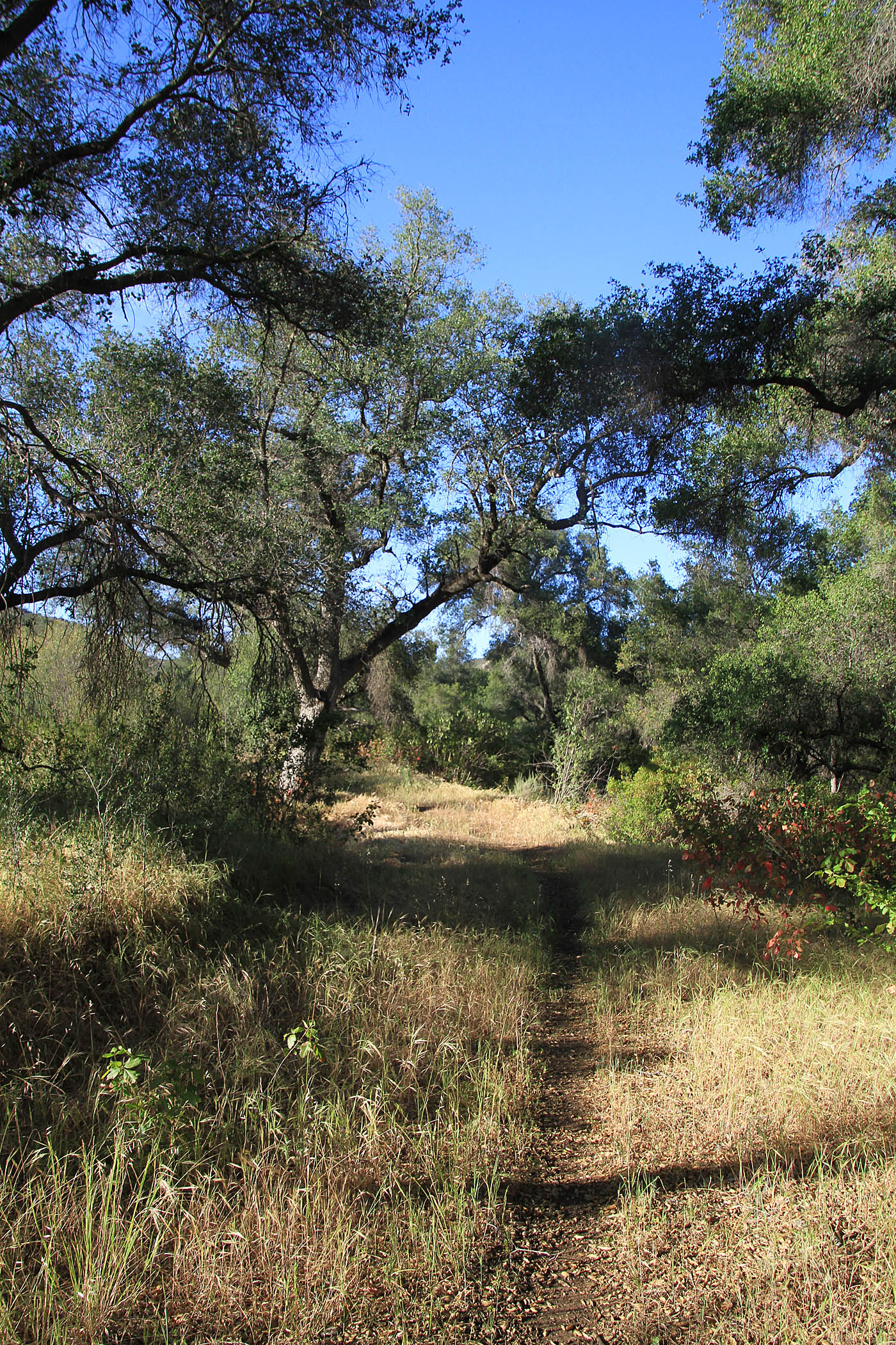
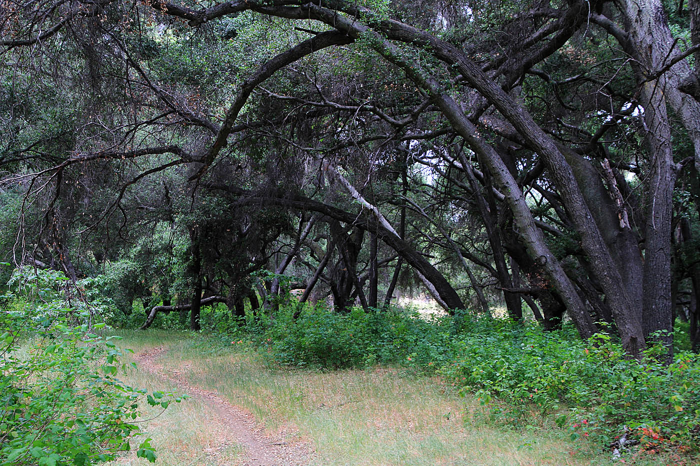
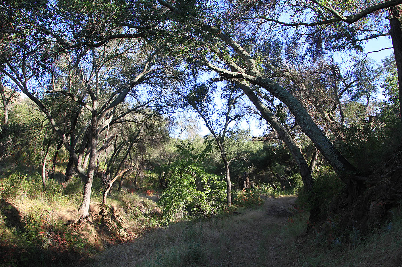
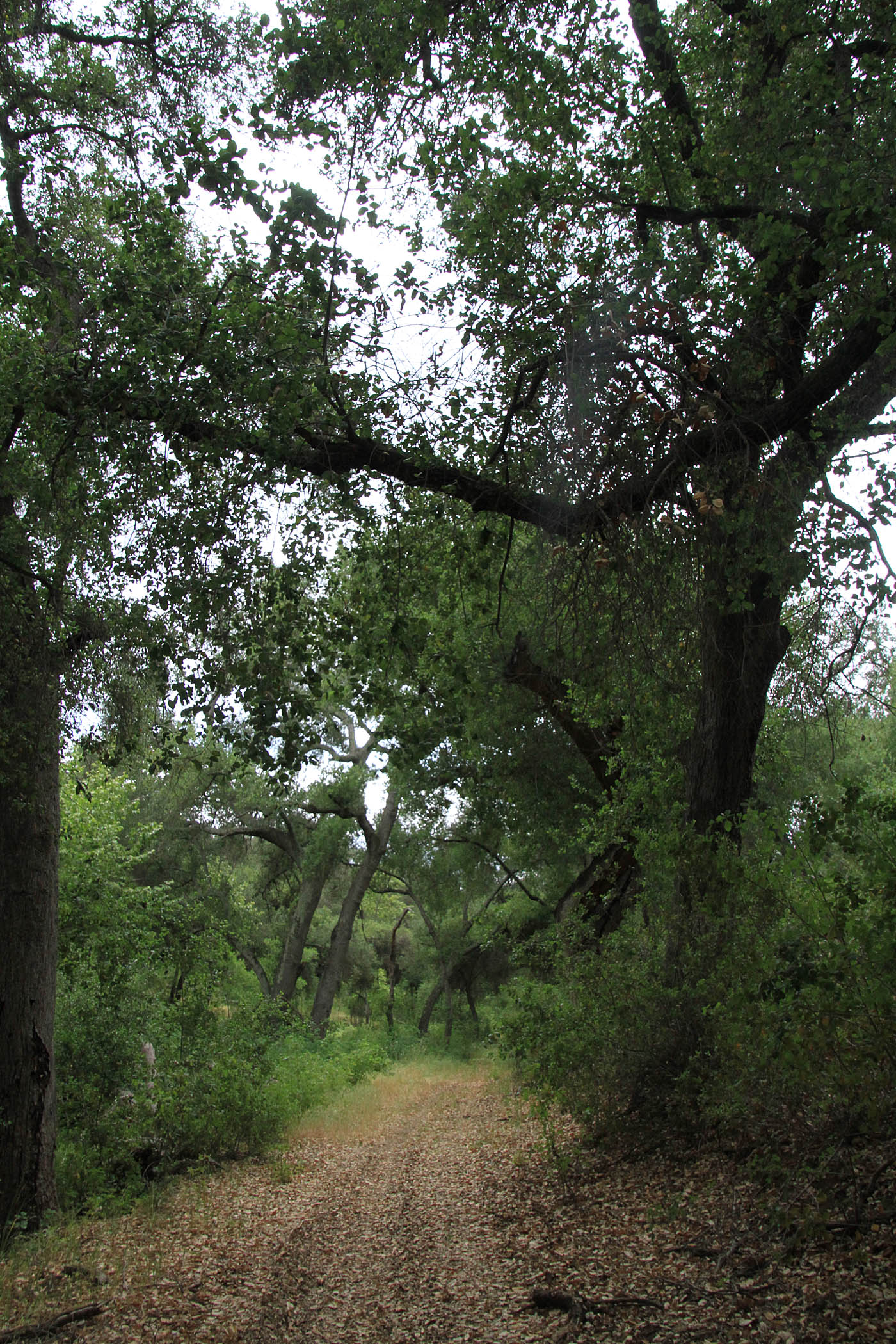
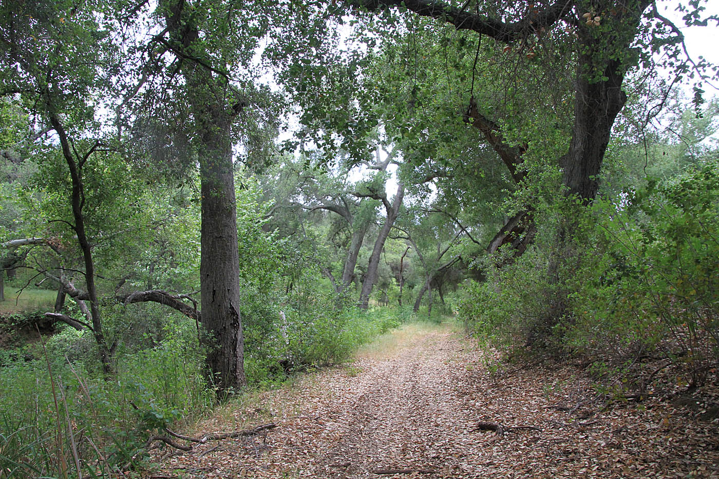
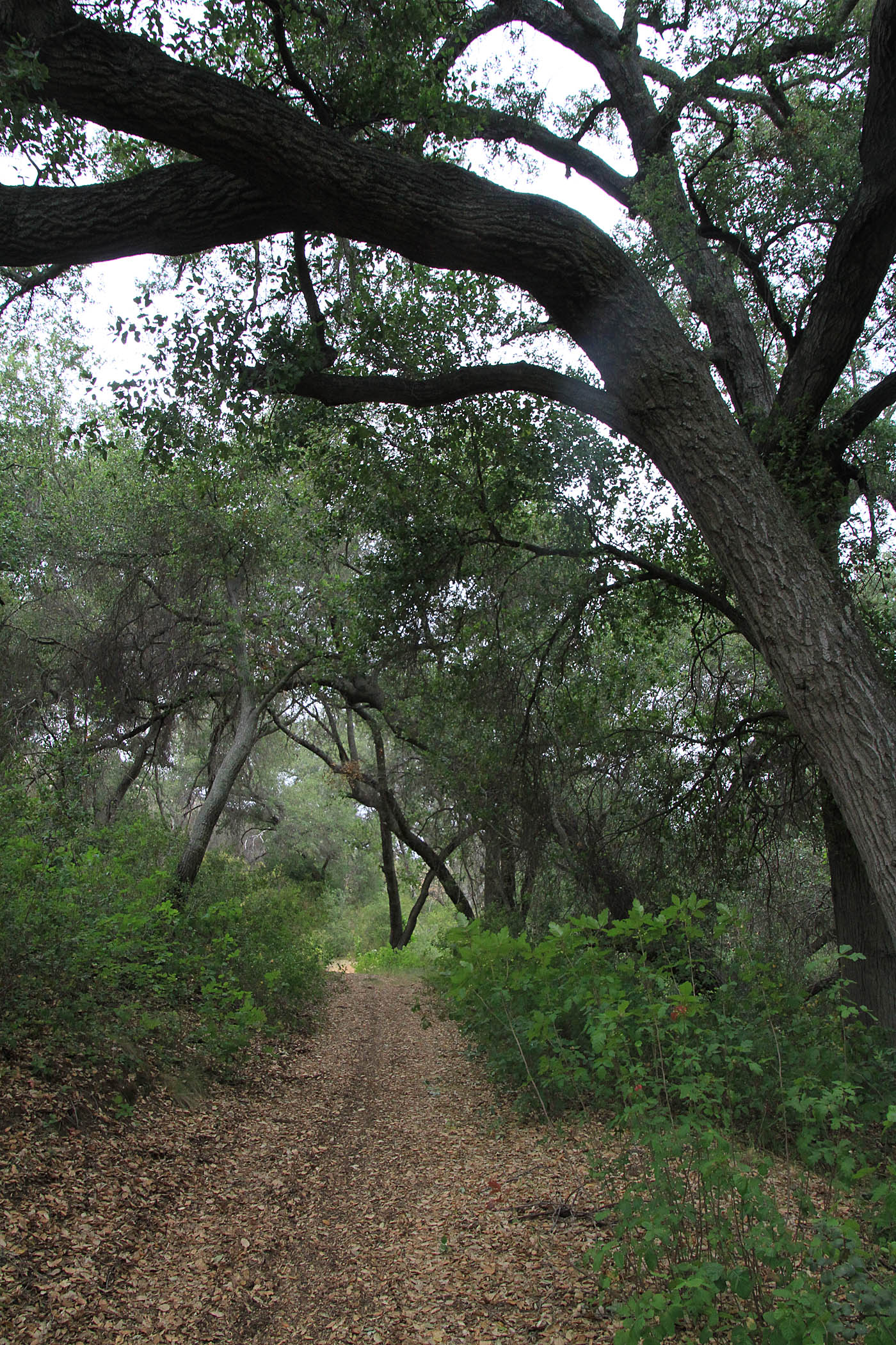
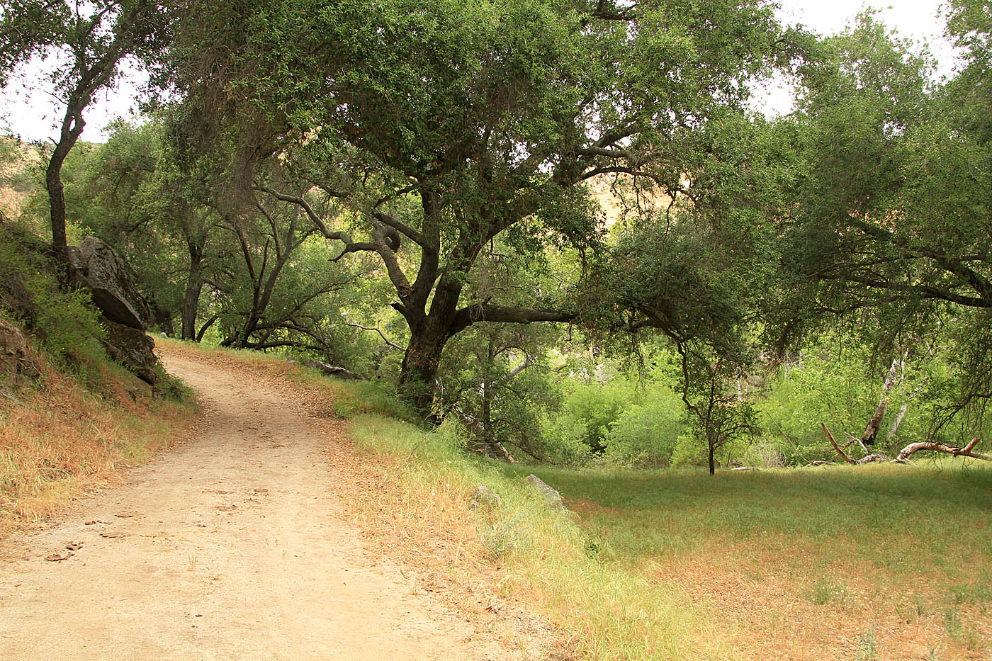
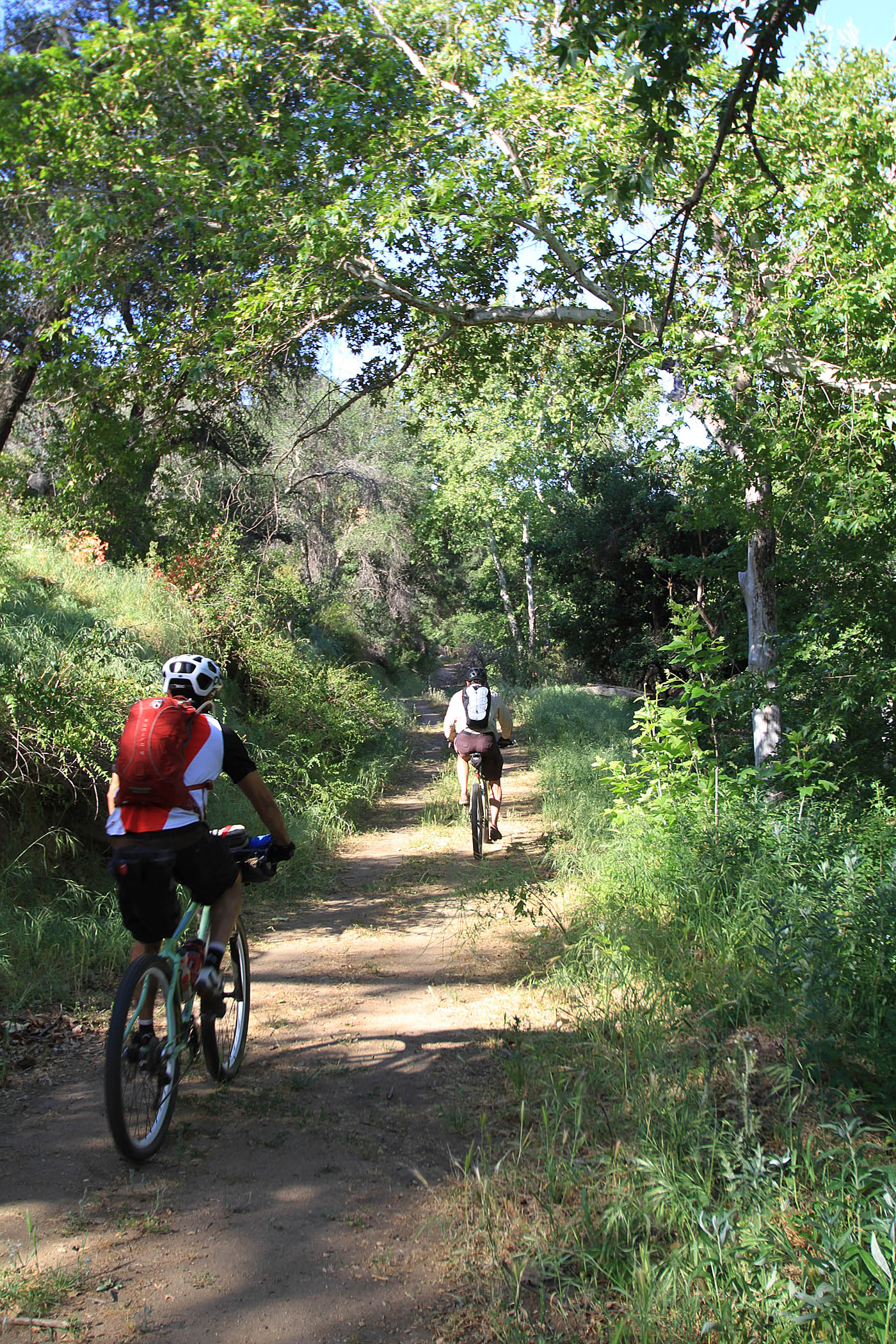
Once you get down into the northern end of the canyon you are treated to a different landscape all together. The chaparral and sage are replaced with mature oak groves of several different varieties oaks. While you typically can tell this is on old dirt road/truck trail, Mother Nature has been doing a fantastic job of turning this into a very sweet bit of singletrack that is just a pleasure to cruise down. And downhill you are going through here. It the kind of grade that allows you to just cruise and enjoy the scenery.
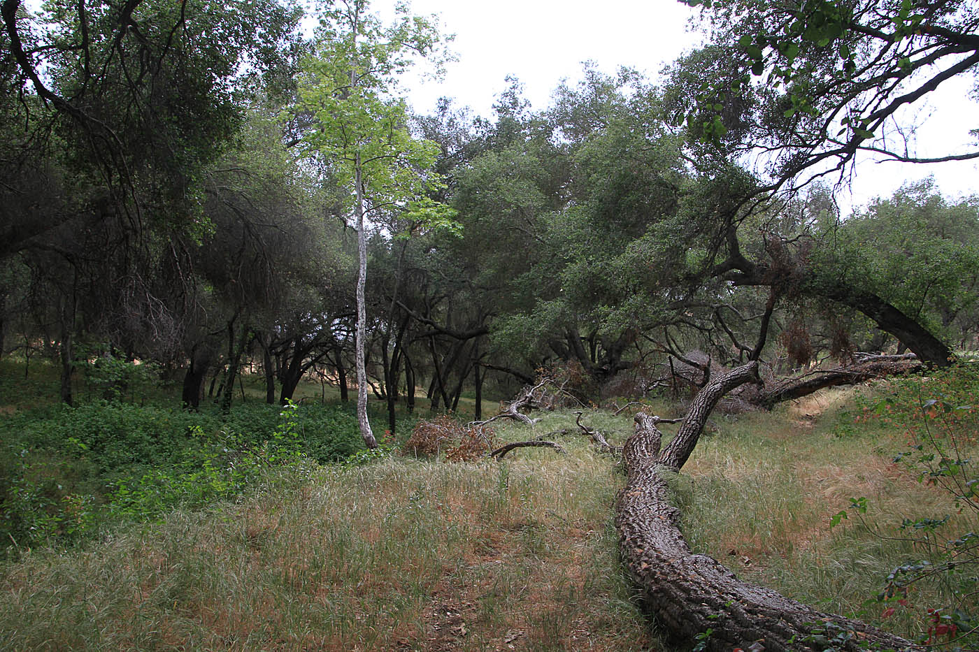
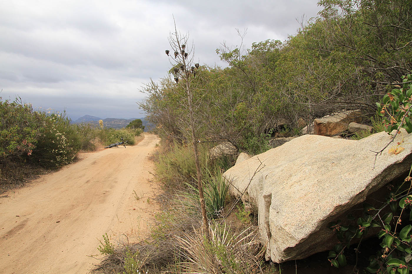
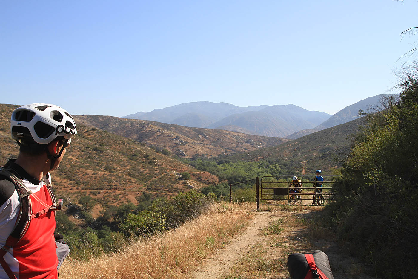
At 6.58 miles (OB-3) you will come to a locked steel gate denoting private property. there is a singletrack off to the left that goes around the private party and rejoins the the trail in the floor of the canyon at 6.85 miles (OB-4). Note: After reviewing aerial photos it looks like the gates went up in 2009 since the singletrack going around the property was created sometime between June 2009 and March 2010.
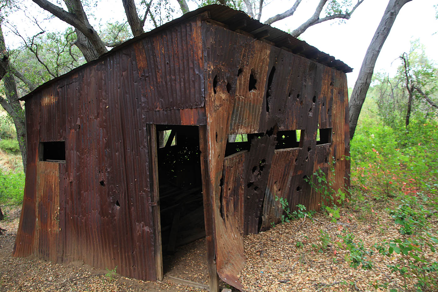
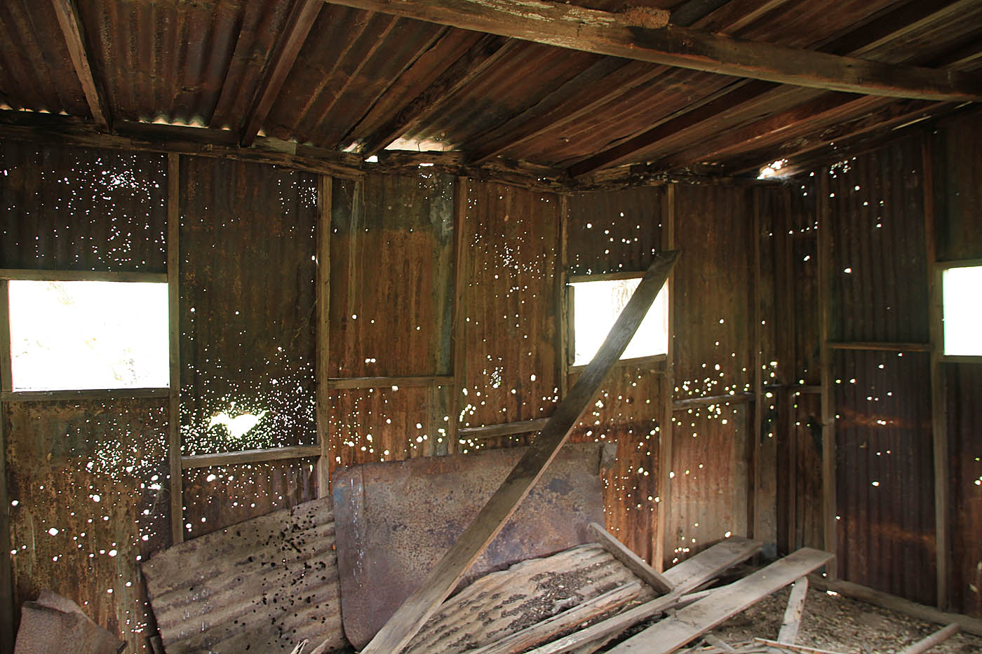

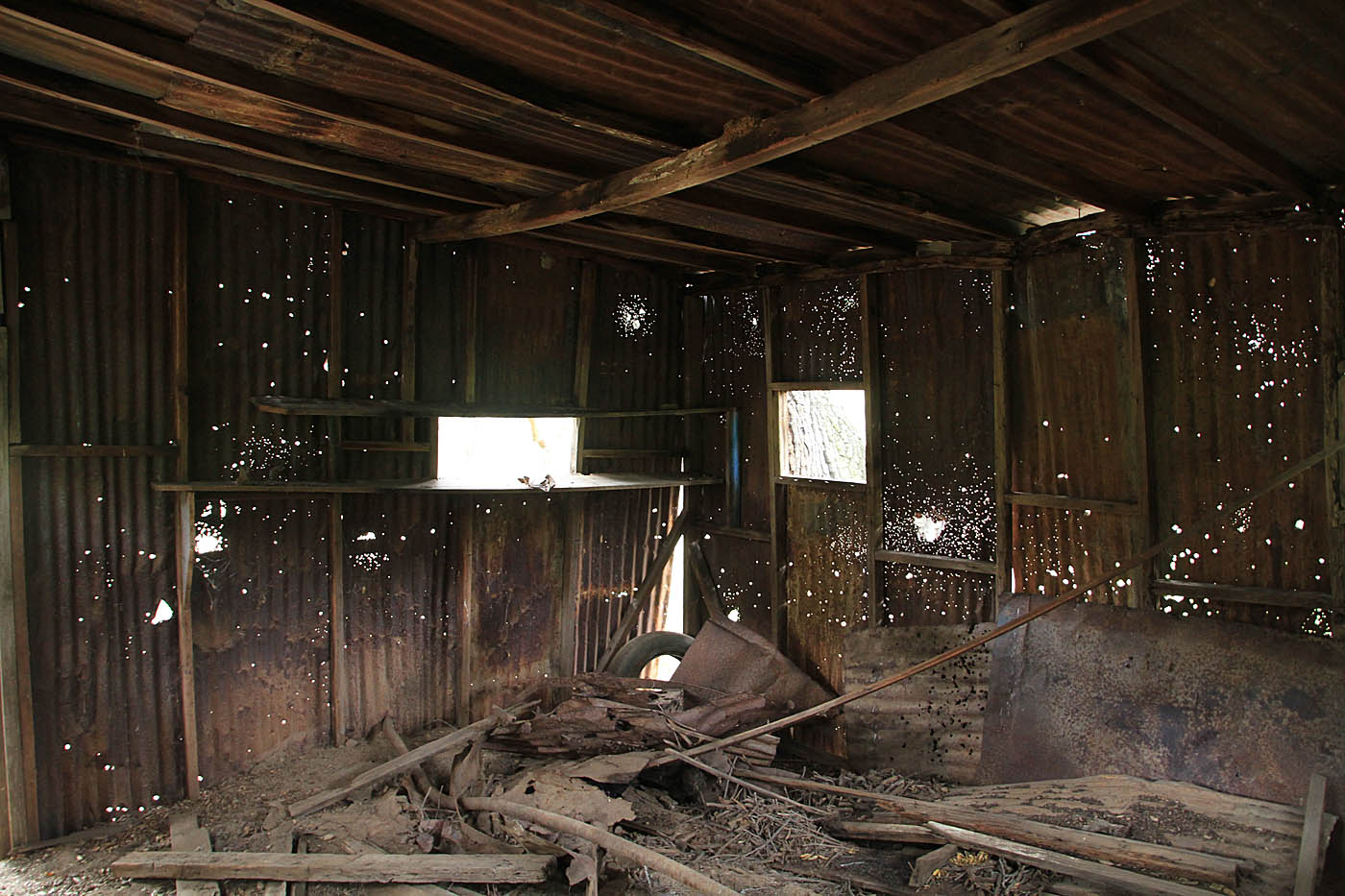
Shortly after you are back on the main trail through the canyon, you will go back on old tin shed. Judging by all of the shotgun blasts, I'm pretty sure this old structure has hosted more than a few good ole boy red-neckery events out here.
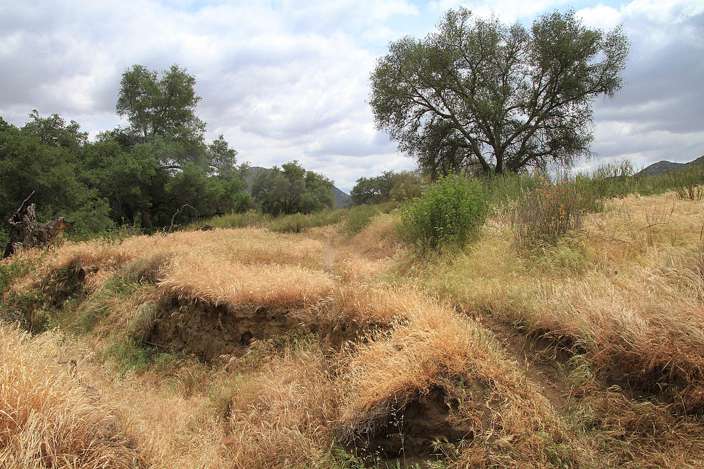
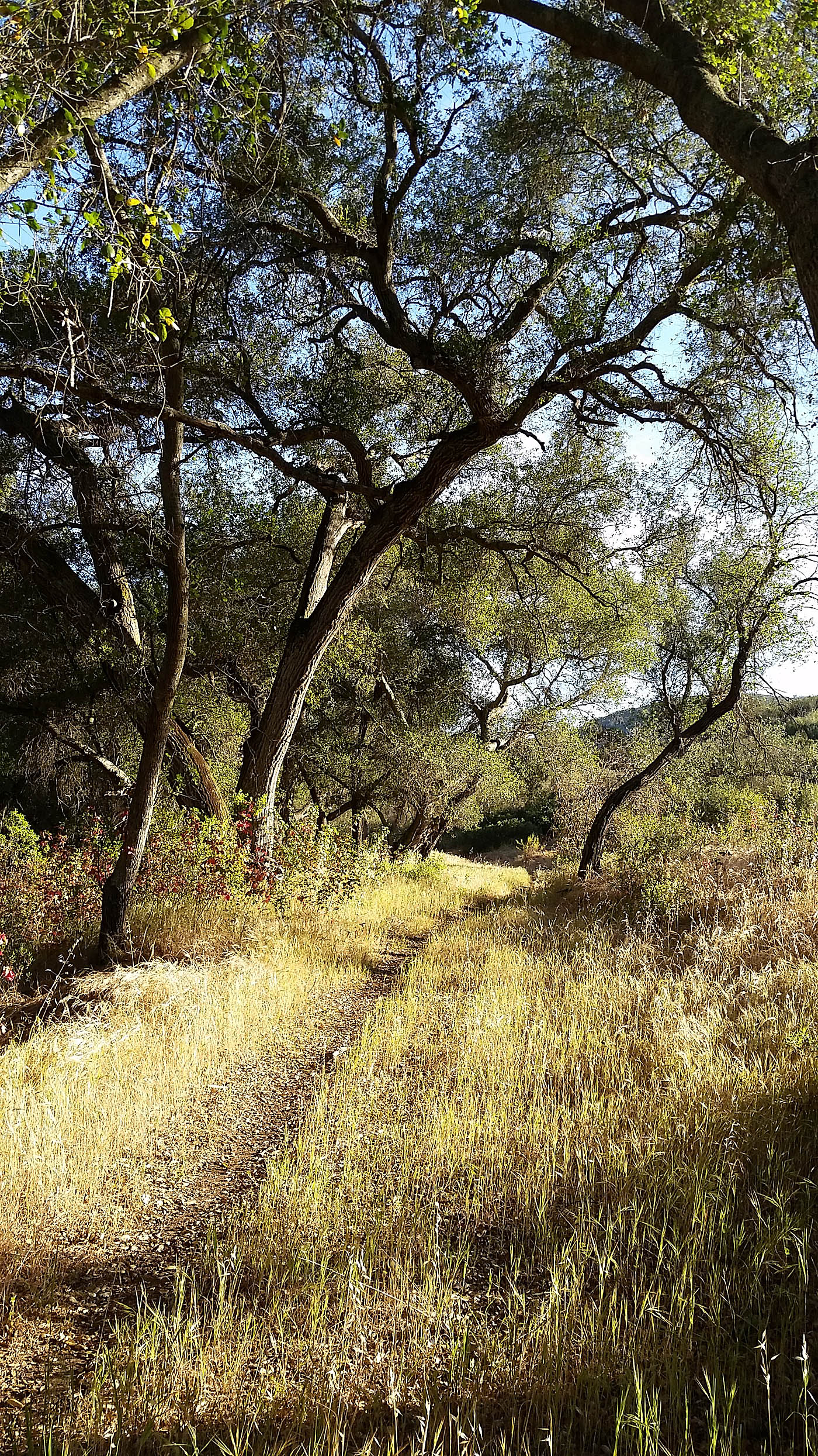
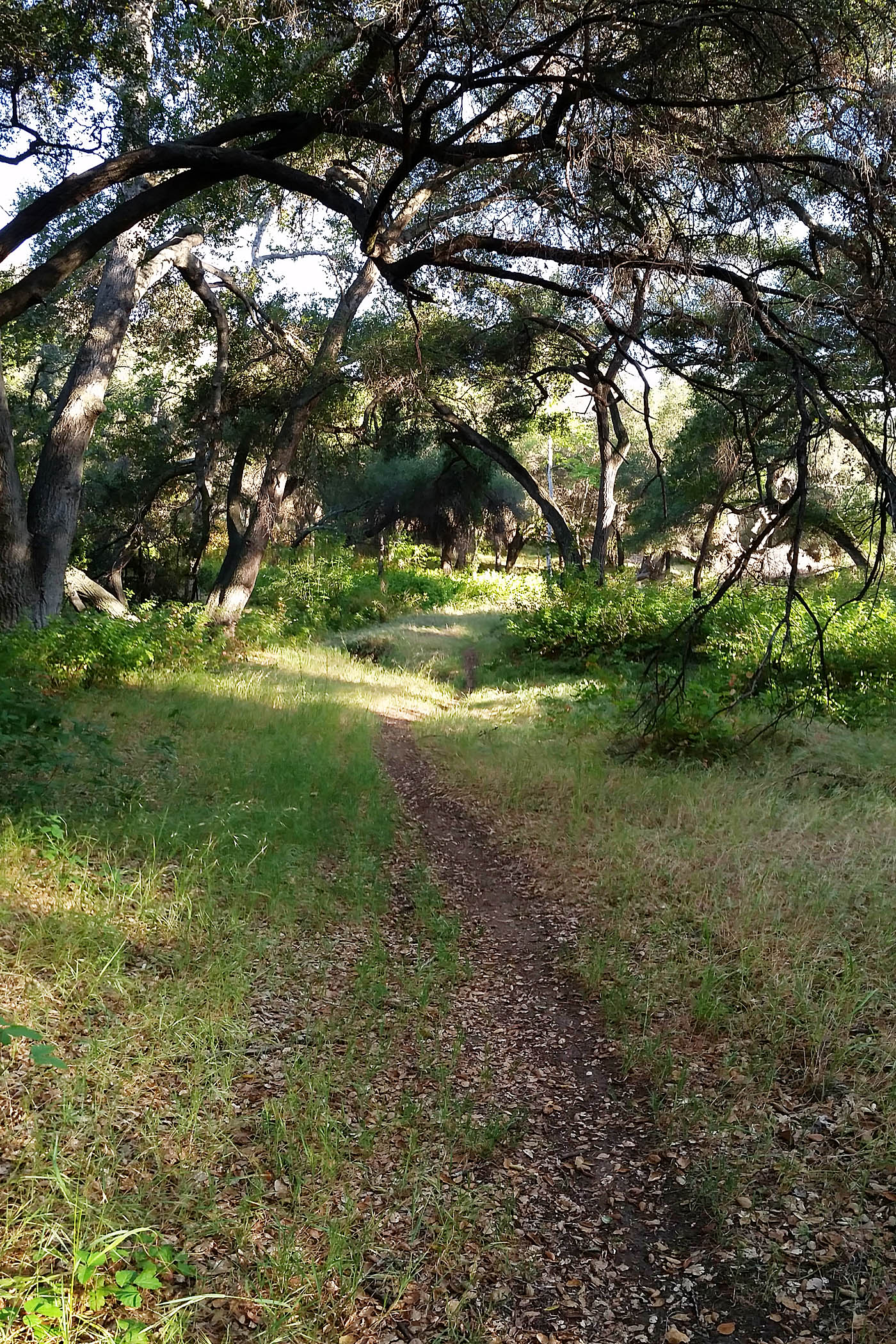
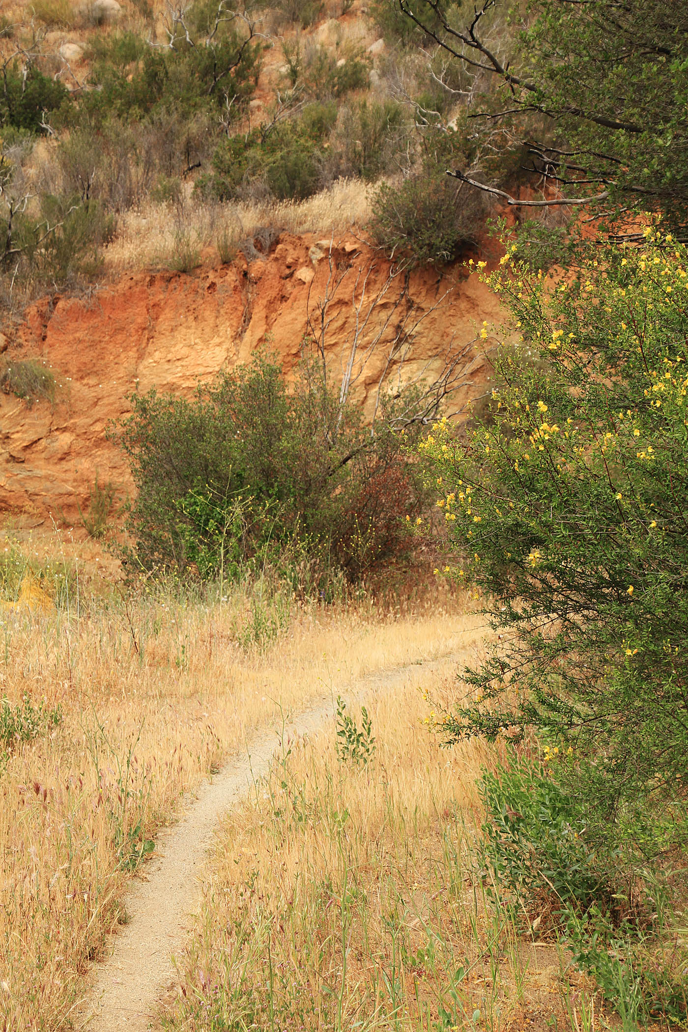
Below this point you are treated to more mature oak groves but grassy meadows become more prominent as well. It is quite pictureque. A very small portion of this canyon burned in 2003 and you will see some evidence of this in this middle section. There are a few down trees to contend with are easy to get under or around. For those of you that are sensitive to poison oak getting around these downed trees and avoiding the evil leaf can be tricky. The trail through here is simply wonderful as a quality singletrack with an amazing woodland backcountry escape feel to it that provides a good outdoor experience. While this route I describe here has you descending down through this canyon, I find it rewarding to do this route in the opposite direction as well as you get to soak in the canyon at a slower pace.
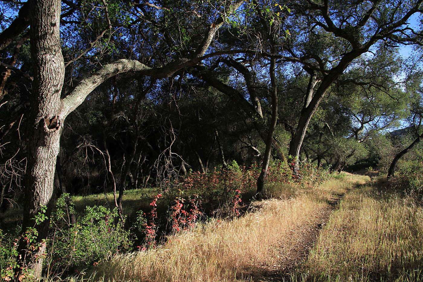
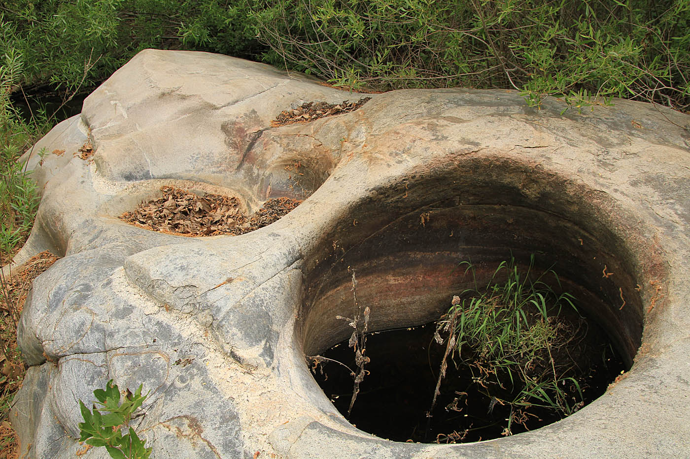
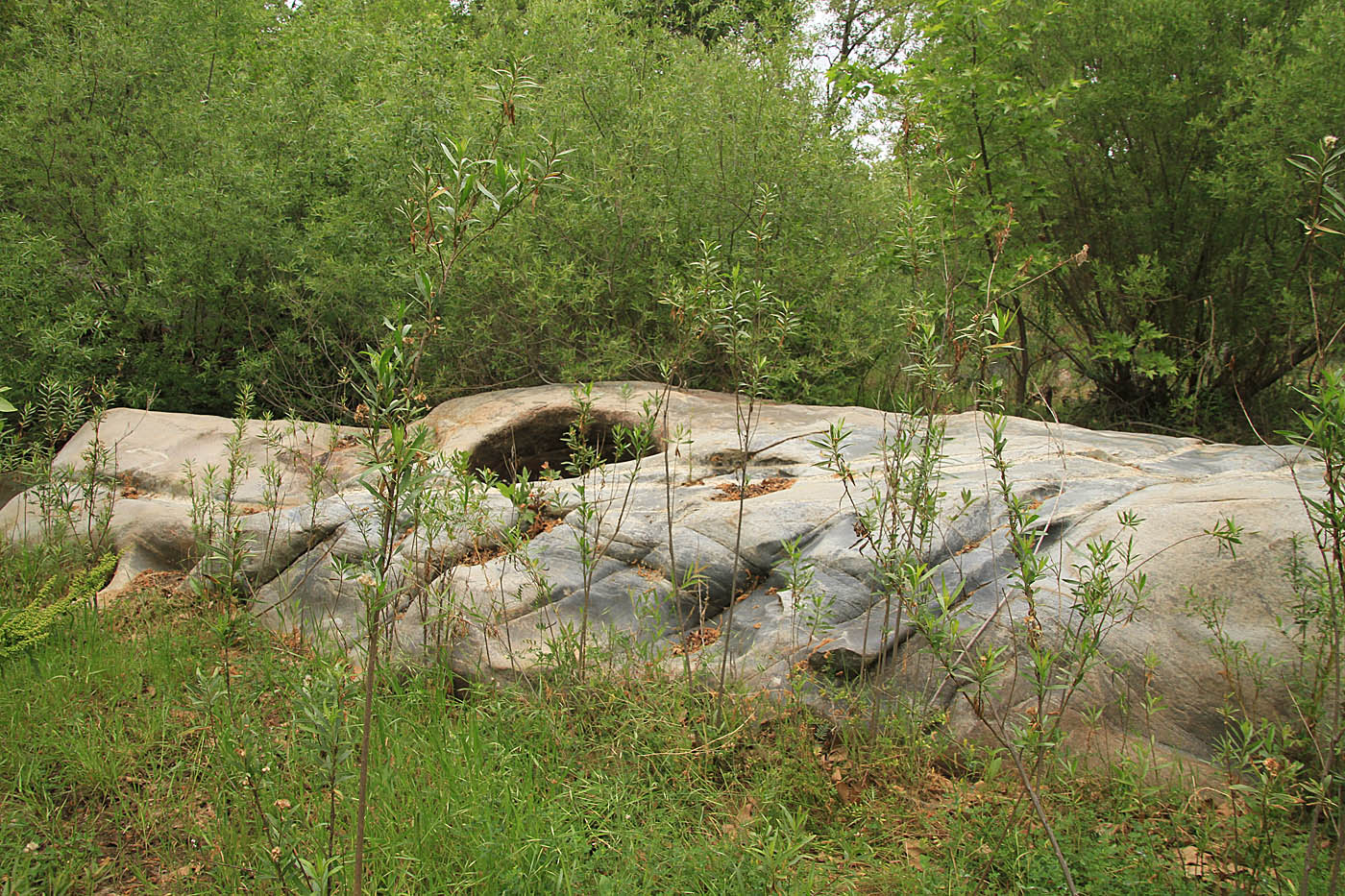
At 8.92 (OB-5) you will pass by a small pond on your right. South of this point the trail is back to double track but has an old weathering in nicely feel to it. At 9.2 miles you will pass by the bottom of Boden Canyon Rd (FS 12S03) and it appears to be nearly completely grown back to singletrack at this end. About half a mile later you will have to a short bit of mild climbing before you descend down to the Santa Ysabel Creek bed where you road crosses it.
After crossing the creekbed, you will do a short but slightly steep climb up to the junction of the Lower Santa Ysabel Truck trail (FS 12S04) at 10.9 miles (OB-7). The truck trail comes down from your left and merges into the direction you are going. I won't call it easy to miss but the truck trail is unsigned and is much more like singletrack that road at this point. Turn left (more of a switchback left) to get up onto the Santa Ysabel Truck Trail. Shortly after getting onto truck trail you will go through a gate. The western end of this truck trail is very akin to singletrack and transitions into doubletrack as you travel northeast.

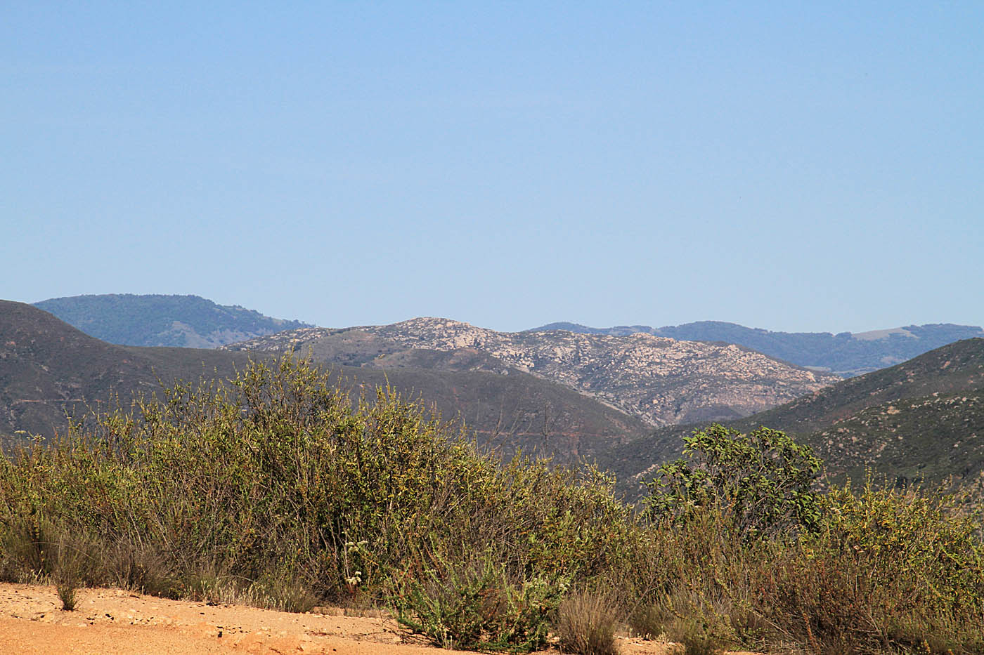
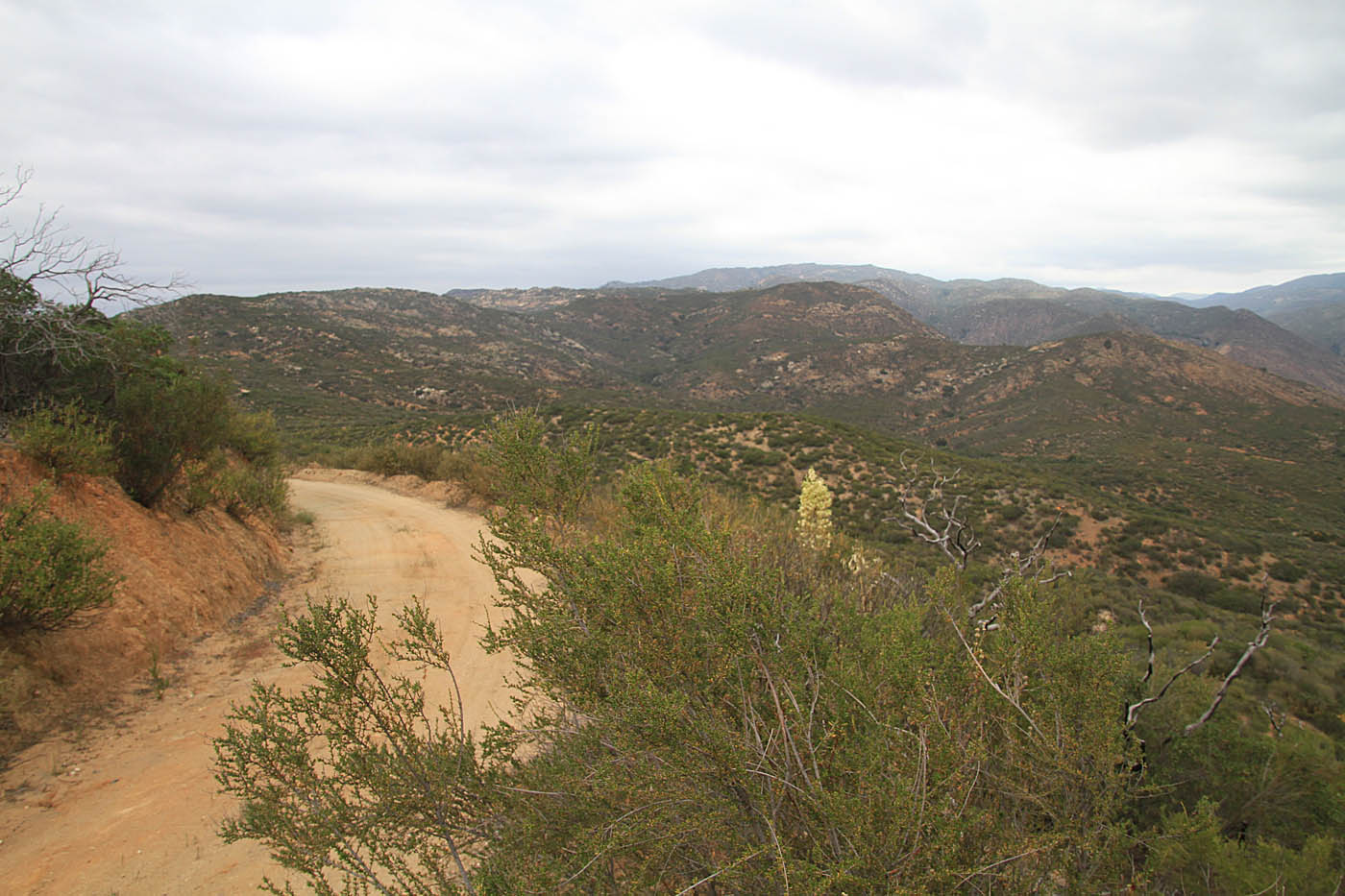
The grade over the next 3.5 miles is extremely mild and include some good views of watershed and Black Mountain in the distance. At 14.1 miles you will come to a gate across the truck trail just beyond this is where you started the this loop at 14.2 miles.

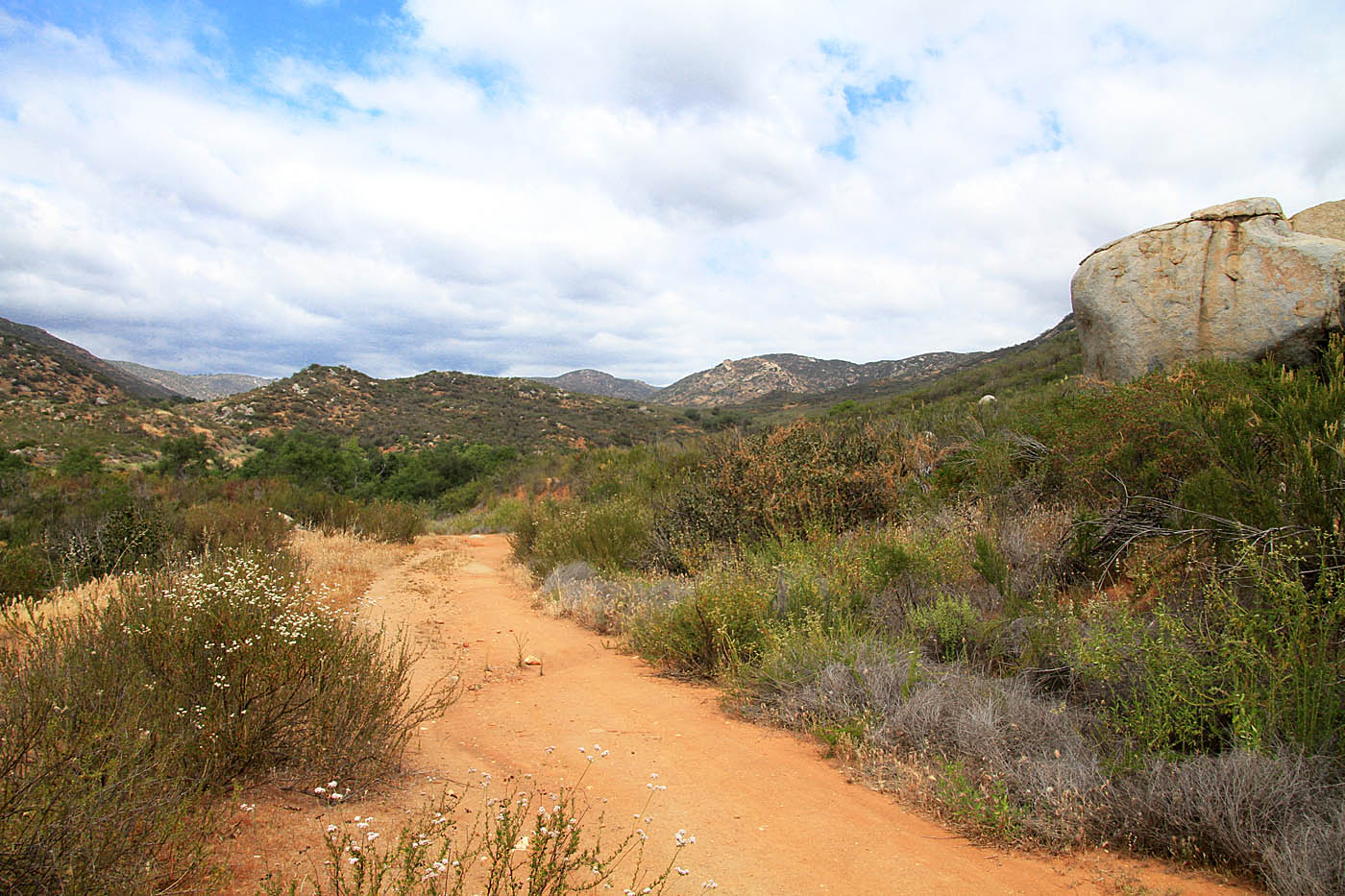
Views from along the Lower Santa Ysabel Truck Trail
If you are going to do this route starting from Highway 78 (see trailhead above) you take a doubletrack (Its your only option from there) from that trailhead (OB-78TH) gradually downhill 1.18 miles down to the junction of Boden Canyon Road and the Lower Santa Ysabel Truck Trail (OB-7).