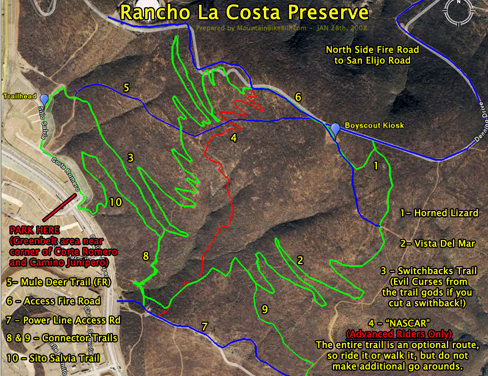
Rancho La Costa Preserve
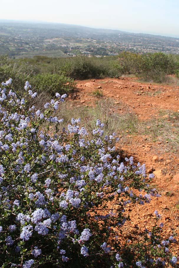
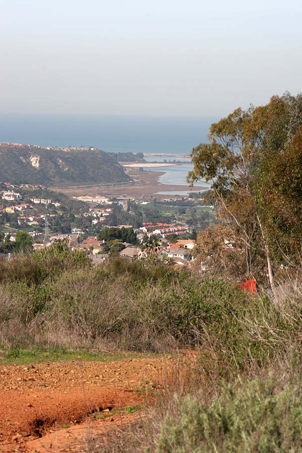
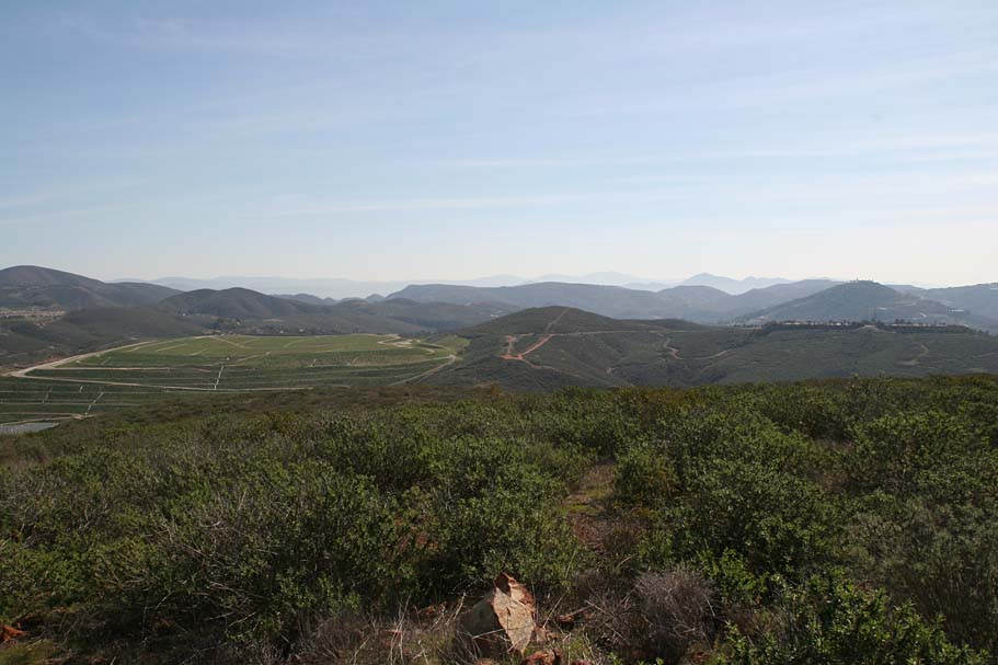
The Rancho La Costa Preserve is a the small mountain open space located near where the communities of Carlsbad, Encinitas, San Marcos, and Olivehain converge in coastal north county San Diego. While this is not a destination per se, it is certainly a gem of a neighborhood trail. With maybe six miles of trails here, what this place lacks in mileage in makes up for with "smileage". While in nearly all directions you can see the besiegment of this mountain by urban development, I always seem to feel like I have escaped to high ground above it all in this small fortress of singletrack. While most of the trails are semi-buff single tracks with a few rocky areas, there is one trail dubbed "NASCAR" that will be challenging for most intermediate riders on cross-country and all-mountain bikes.
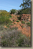
Bit of History: You may also hear this area referred to as Denk Mountain which comes from the Denk Family ownership of most of the mountain for nearly all of the 1900s. Copper was also mined from this mountain in the early 1900s by the Encintas Mining company. There were three vertical shafts that we over 300 feet long and a single horizontal shaft that was over 200 feet long. The shafts have long since been blasted in for safety reasons but you can still find evidence of the mining activity at various spots on the mountain. Both the NASCAR and Vista Del Mar trails take you out to and over two of these tailings piles from that mining era. You know you are there when the trail suddenly becomes scree rocks with a slight greenish tint.Directions:
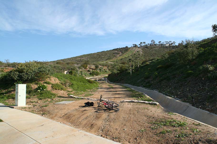
- From downtown San Diego: Travel North on I-5 for about 26 miles. Take the Leucadia Blvd exit and turn right. After 1.7 miles Leucadia blvd becomes Olivehain Rd. After .9 miles Olivehain Rd becomes Rancho Santa Fe Road. After 1.8 miles turn right onto Camino Junipero. At your first left turn onto Corte Romero and on the street alongside the green belt area.
- From Orange County: After passing through Carlsbad while going south on I-5 take the La Costa Ave exit and turn left. Take La Costa Ave 4.1 miles and turn left onto Rancho Santa Fe Rd.After .7 miles turn right onto Camino Junipero. At your first left turn onto Corte Romero and on the street alongside the green belt area.

While this advice is good on any trail, it is extremely important on this system. Please remember to be good stewards here. The local mountain biking trail advocates have culitivated great relationships with the land managers here. It is literally a case of allies where there once was foes. Please respect all trail signs. Don't cut the switchbacks or make go arounds. This is not the only parcel these land managers take care so being selfish here could undermine efforts much bigger than a switchback or two that you may not like.
General advice for hikers and trail runners: If you are looking for the most direct route to the top of the mountain, you should take the Mule Deer Trail. The Switchbacks or Vista Del Mar trails are much longer and quite mild. There are spots along the Switchbacks trail where you can see the trail further up the hill. Please do not cut over to the trail further up the hill. Short and steep or long and mild, whichever route you select please stay on the trail.
General advice for mountainbikers: This is not a Flightline area and freelance trail building or stunt construction will not be tolerated. If you want to help build trails, please contact the San Diego Mountain Bike Association to get plugged in. They will be more than happy to channel your trail building energy in the proper direction.
Ride Notes: (While there are several ways you can do the trails out here, the one described here is designed as an intro to the place ride)
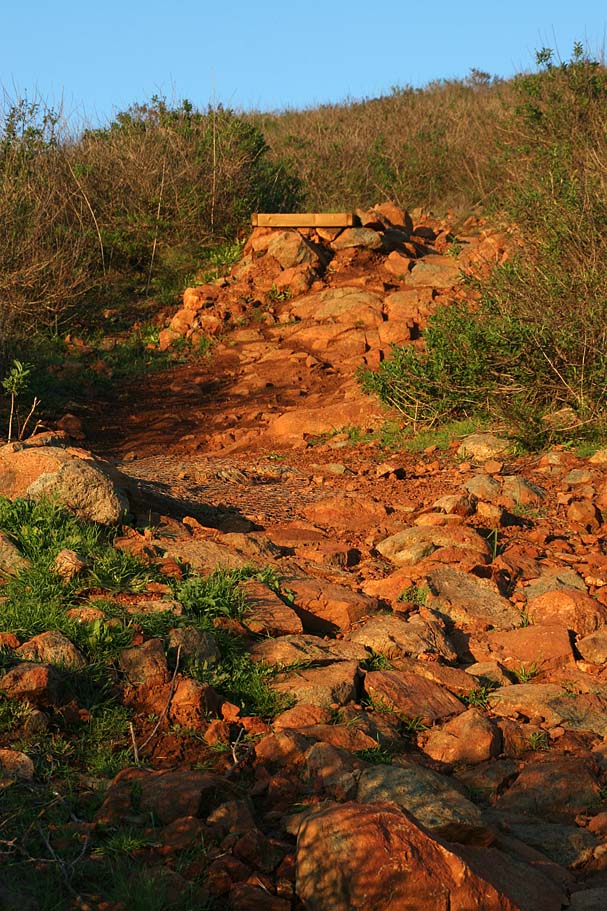
Over the next mile you will gradually climb as the switchback trail folds back nearly onto self numerous times as it takes the long meandering way up Denk Mountain (Personally I think Mountain is a far stretch here). Most of the small rock features in the trail are found in the wide rolling switchbacks. You will cross over the Mule Deer Trail once during the climb and it will be quite obivious that you will want to continue straight on the singletrack.

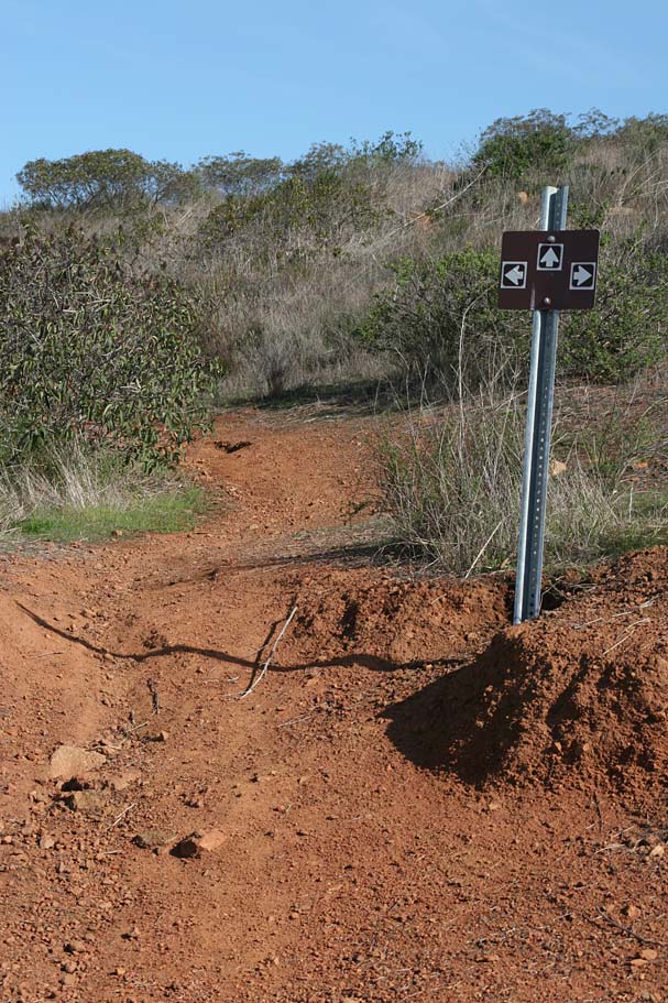

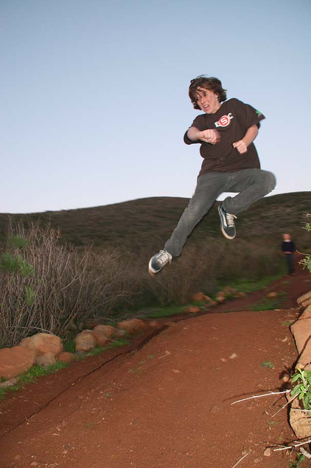
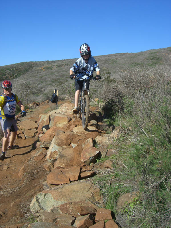
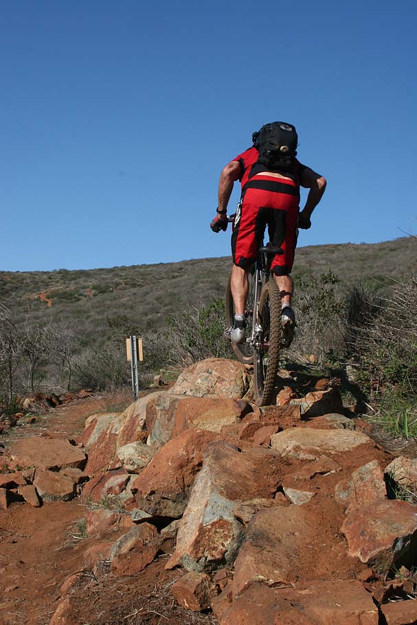
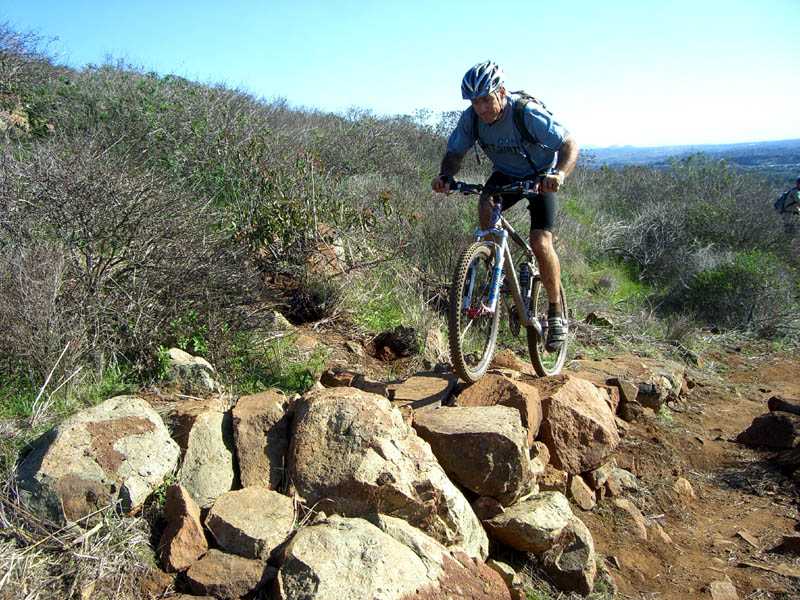
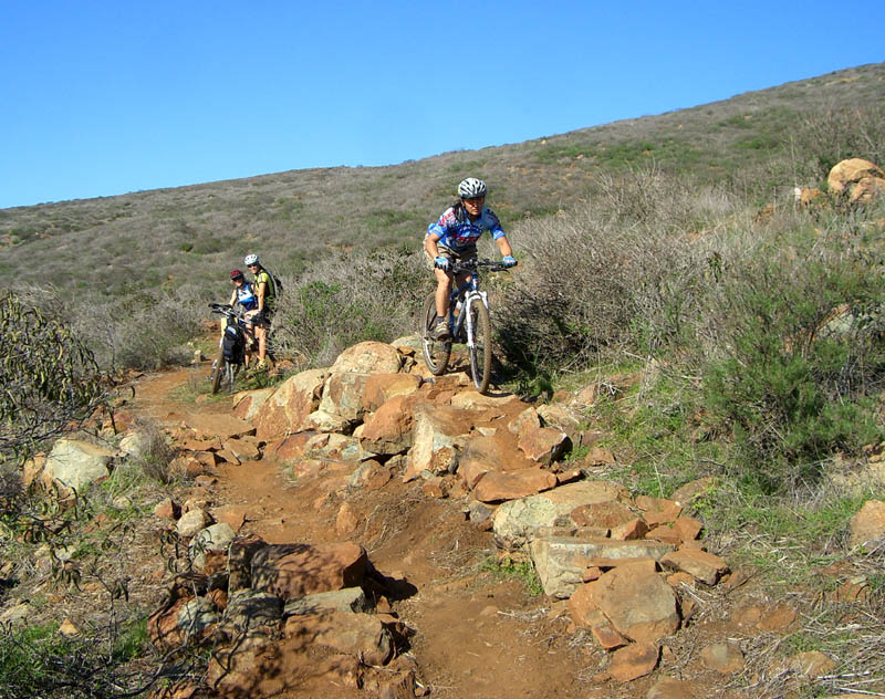
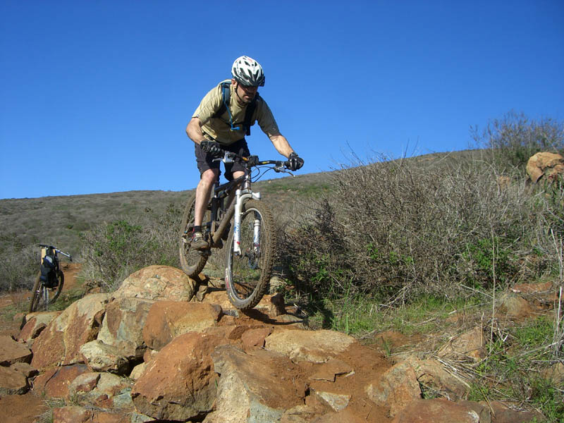
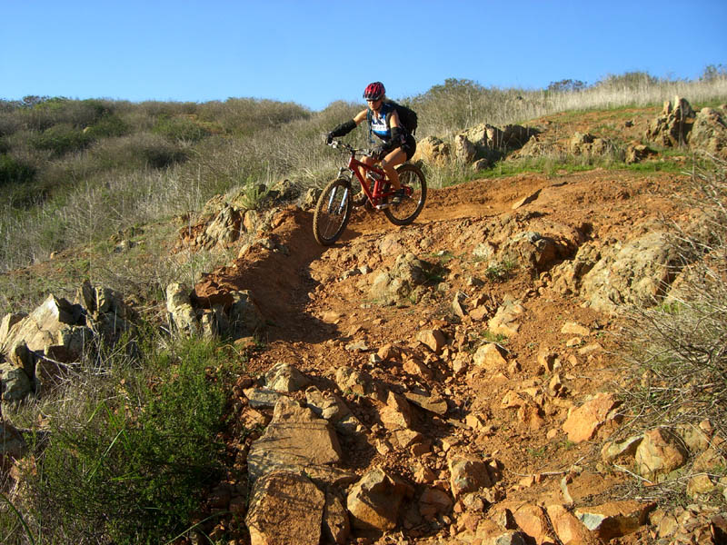
At the top of the switchbacks climb you will come out onto a fireroad. Immediately to your right is "NASCAR". Please take note of the unique sign here. This a techncial trail that is steep and rocky with some jumps and small drops that will be challenging for an intermediate rider. It sheds off the elevation quite quickly and joins up with the Vista Del Mar trail at the bottom of the hill.

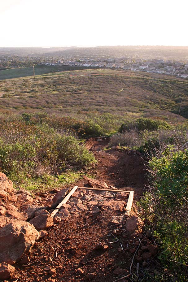
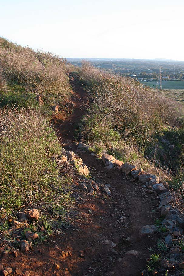
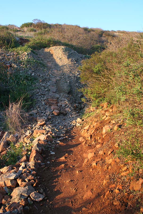
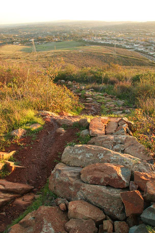
Photos from along the NASCAR Downhill
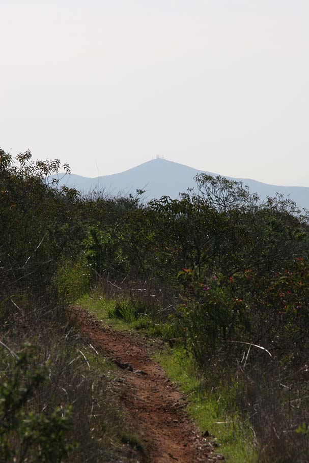
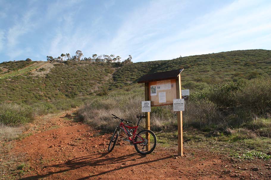
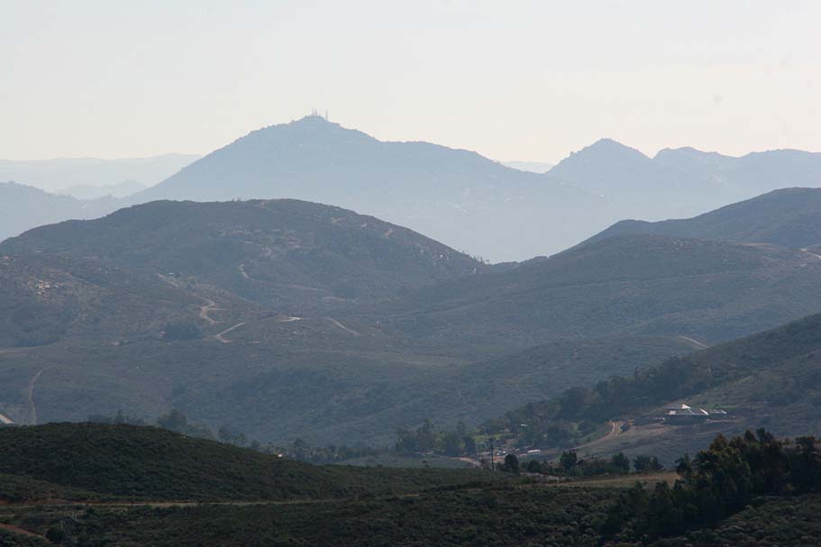
From the kiosk, look to southwest (towards Black Mountain with all the antennas on top) and pickup the old fireroad heading in that direction. You will soon see a single track bearing off to the left, enjoy this nice flowy bit of trail on a gradual down slope. At the first singletrack intersection you come to go to your right.
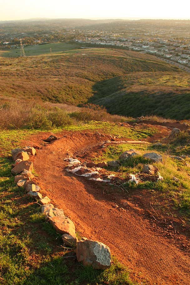
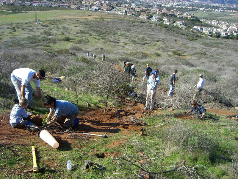
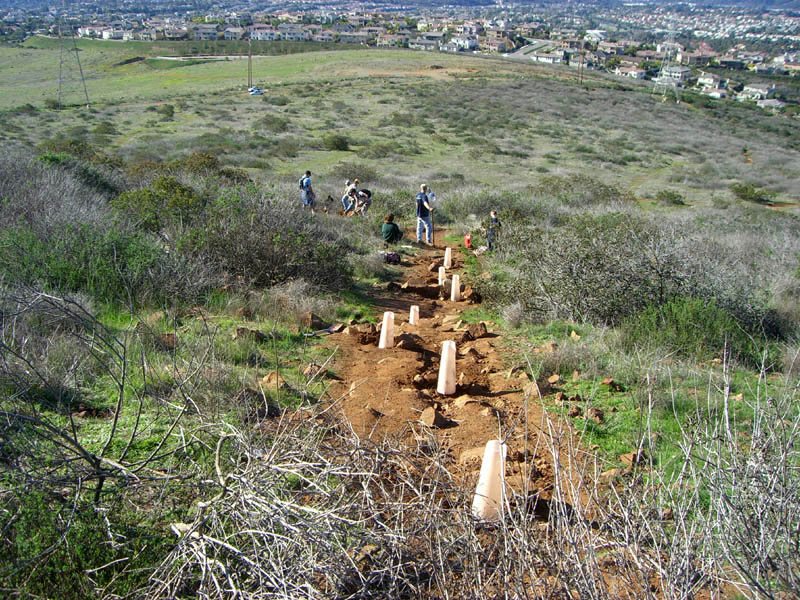
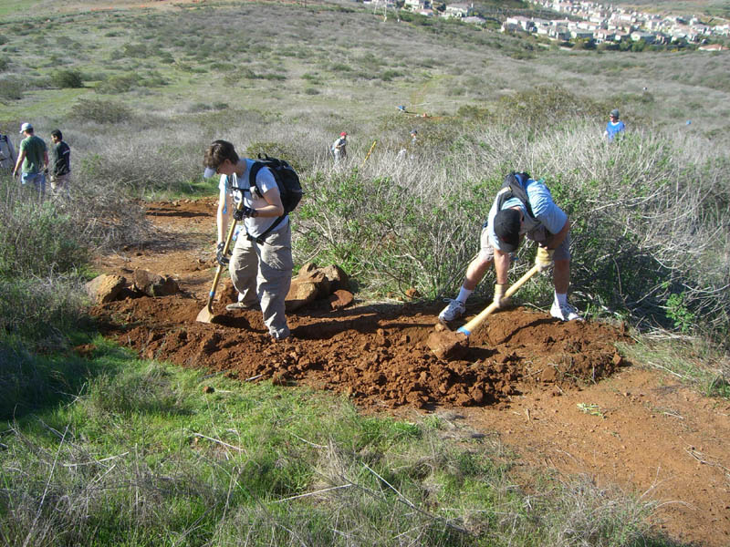
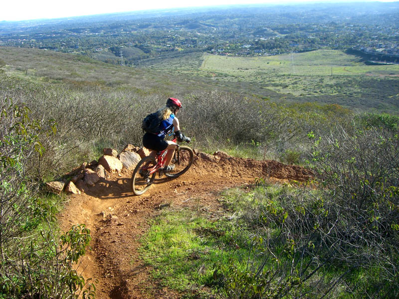
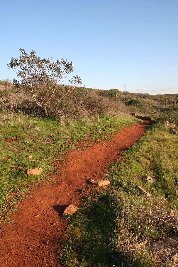
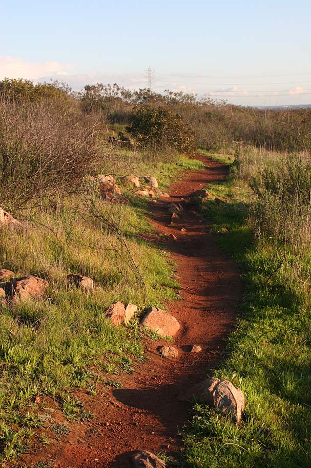
This trail mostly contours until it crosses over the old fireroad you were on earlier in the ride. After this point the trail steepens for a while before becoming much more gradual and flowing. You will most like not even notice that you transitioned from the old steep trail to the new Vista Del Mar trail. This trail is an exceptional singletrack that flows and switchbacks it way down the hill. The Vista Del Mar trail is the brainchild of Rich Julien (SDMBA) who worked closely with the land managers (Center for Natural Land Management to approve, plan and build this trail. Rich personally built over 90 percent of the trail with the final push coming from a trail work day where around 40 volunteers deconstructed the old trail, replanted some flora and cut in the final section of the trail. You can see all the pictures and write up on that day here.


Final Pictures