Takatori-yama near Zushi Japan

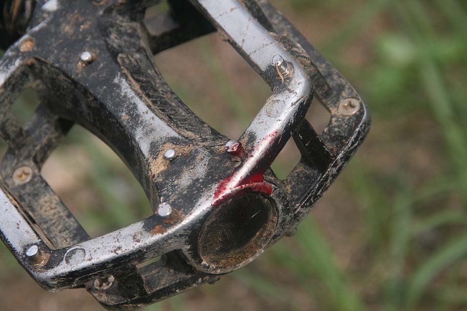
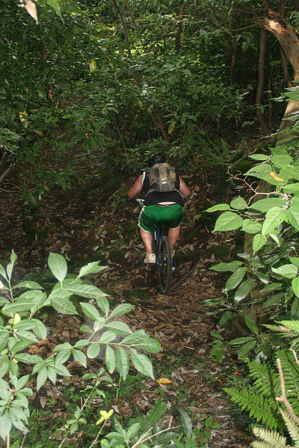
Takatori-yama is a really nice network of trails to play on nestled to the the east of Zushi and south of suburbs of Yokohama. The summit of Takatori-yama used to be rock quarry and the quarry work has left numerous vertical slabs of rocks that are highly popular with the rock climbing community. The trails here offer slightly more rock oriented features on the trail and if you choose some of the trails you can get into some really gnarly stuff that can test your hike-a-bike skills as well as your riding skills. The main route throughout this area are quite ridable. There are some interesting cultural bits that should not be missed should he make to this area.
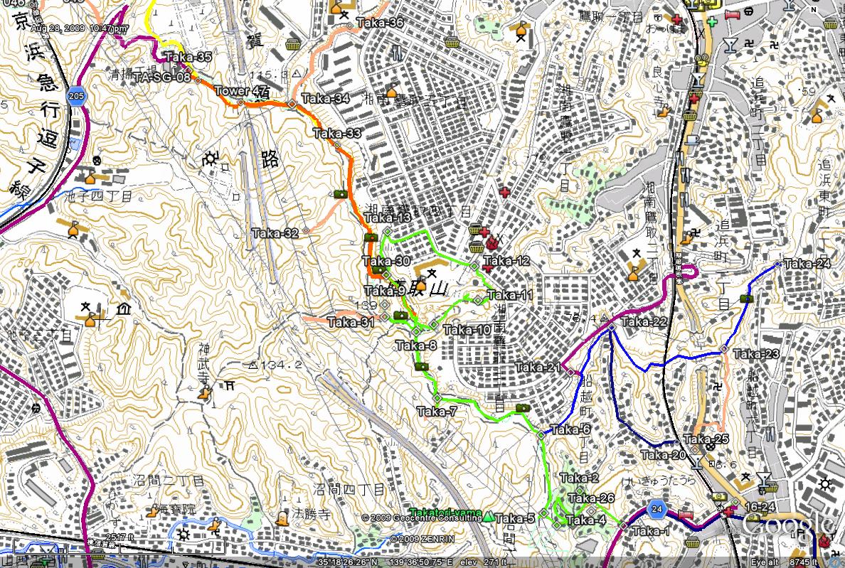
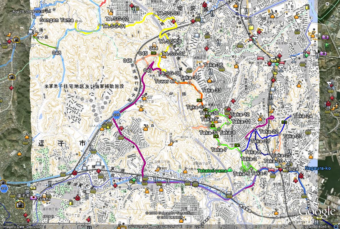
Maps: The map here is a mashup of map data from the Japan Geospatial Institute and Google Earth. The topographic map is an image overlay scaled and aligned with the Google Earth imagery with the track data overlaid as well. When using the KMZ file that ties it all together you will find it useful to use the transparency slider for the overlay layer to fade the map in and out so you can get visuals of the area as well as the topology. Additionally, the file has photo links back to this site to help with specific trail junctions as well as some cool stuff to look at. Studying the map in Google is the best way to get your bearing for this ride. DATA FILES: KMZ, GPX, GDB
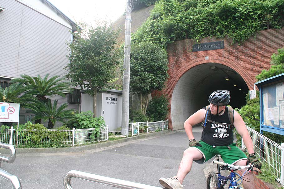
Getting there: These directions are geared for pedaling to the trailhead from Central Yokosuka. Cutting out some of the additional information will get you there in a car. From the corner of Highway 26 and 16 in Central Yokosuka. (The corner of blue street just outside the Womble Gate of the Yokosuka U.S. naval base). Head 2.4km north on Highway 16 on the sidewalks on the west side (direction of travel) of Highway 16. When you get by the Dai Mall take the pedestrian bridge over the east side of the road. Turn north and ride along the edge of Verny Park. When you get by the JR Yokosuka train station, cut through the round-a-bout take the pedestrian and bike path west back out to Highway 16 (Doing this cuts out some nasty traffic sections). From here get to the get to the west side of the highway (either at an intersection or a pedestrian under crossing) and continuing following Highway 16 north for 2 km then bear a slight left to stay on Highway 16. Travel another 2.3km and then turn left onto Highway 24 to head west towards Zushi and Kamakura. The tunnel you are looking for is 0.5km up highway 24 on the right-hand side. If you get to the top of the hill you have gone too far.

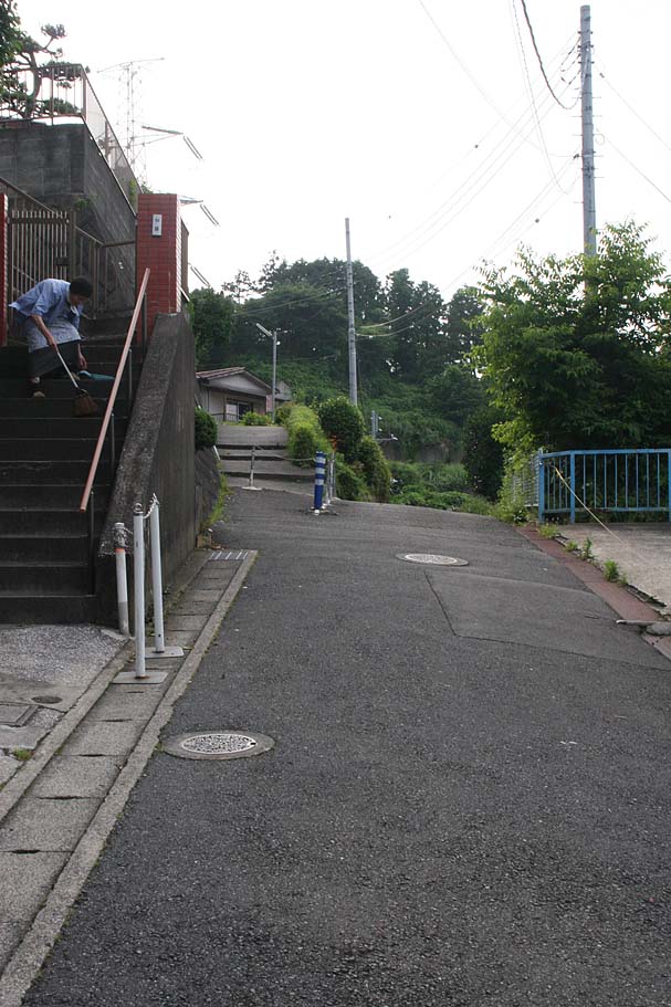
Once you find the "Trailhead" tunnel(Waypoint Taka-1) using the "getting there" direction above, go through the tunnel. As you comeing out of the tunnel your will come to a T-intersection in a tiny street (Taka-2). Make a U-turn to your left and go up a steep uphill street. Keep going up as the road switchbacks up the hill. When you get to the top of the road, you will switchback onto what amounts to a sidewalk and keep climbing. (Taka-3) There are several posts and a chain to keep cars or large motorcycles off the sidewalk. When I was last there the post were painted blue. Climb up the sidewalk which progressively get smaller until it comes to a T-intersection at the end of the houses. (Taka-4)
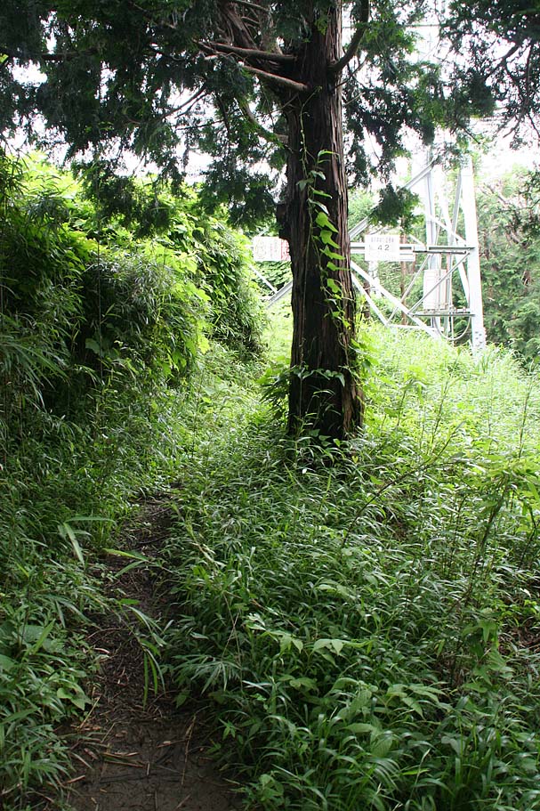
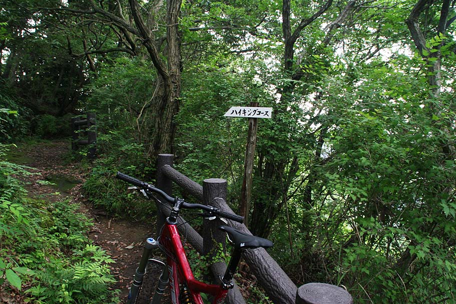
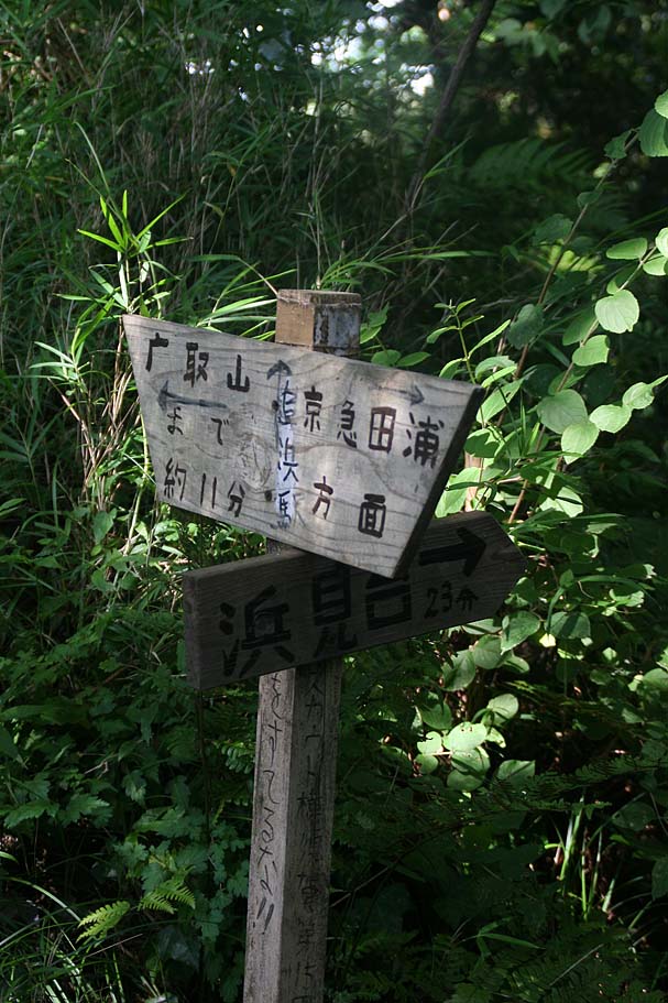
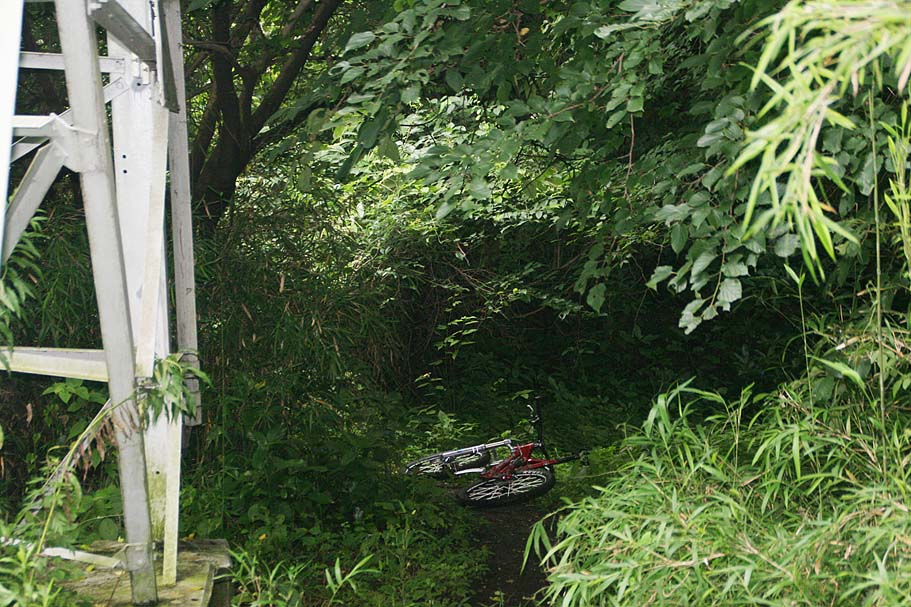
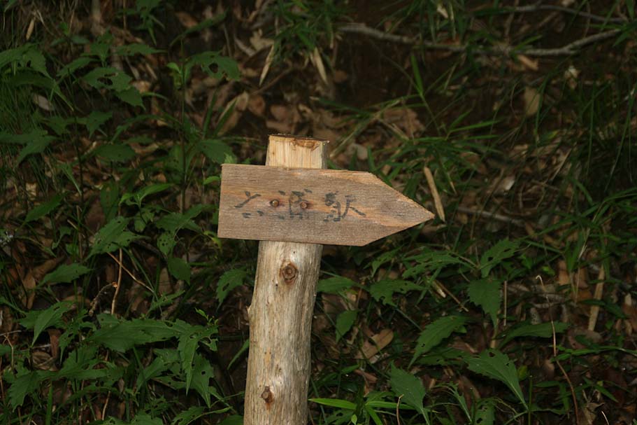
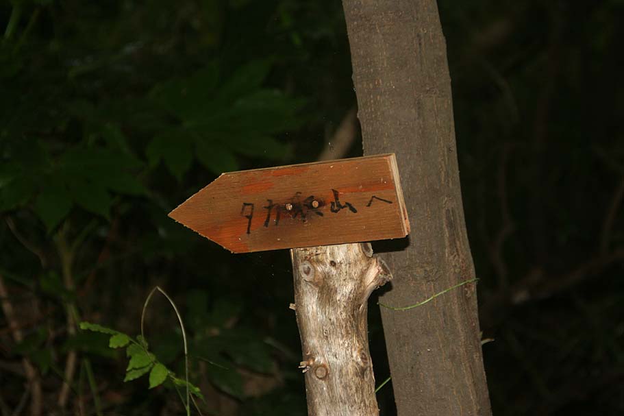
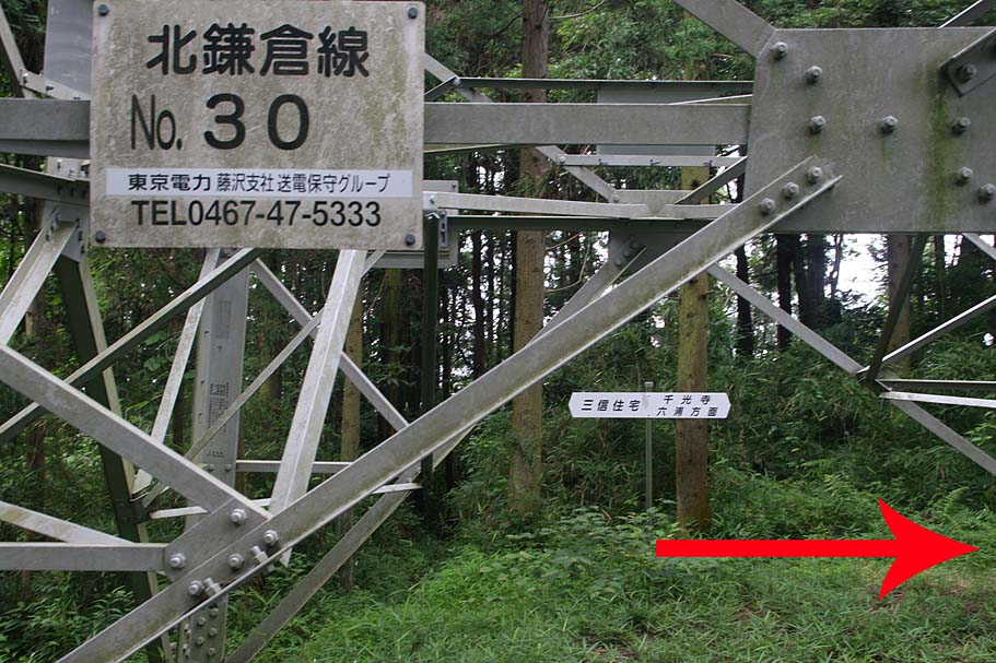
You should see a small wooden sign written in Kangi pointing to a small trail that heads off in a slight righ direction. The first part of this trail can get quite bushy and seem really small in the summer as stuff grows here. After a short ways and a bit of uphill steepness the trails gets under the trees and the growth is held back a bit by the shade. In this same area the trail T-intersection with a much more established trail (Taka-5). You are going to want to go to your right. The trail going off to the left goes off between the power poles and downhill. As a visual reference point, your should see a powerline tower off to your left with the number 42 on it. After you make the right you will mostly be climbing on some skinny singletrack that can be challenging in spots particularly if it has rained within a couple of days of your ride here.
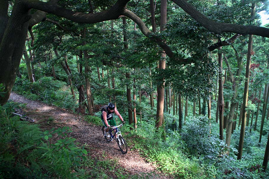
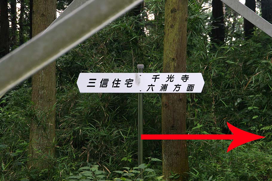
After about .2 miles you pass a trail heading down back down to your left. I can't remember where that goes as the last the last time I rode it was over five years ago. Shortly after passing this trail you will will come to a substantual trail junction (Taka-6( where a trail goes off to your right (E-NE). The trail you are on turns to your left (W-NW) in about 20 yards. There are interesting trails off to the east (see below for more info) but for now continue on the trail you are on. You are now up on the Takatori ridgeline and you will often just above homes to the east and forest around you and to the west.
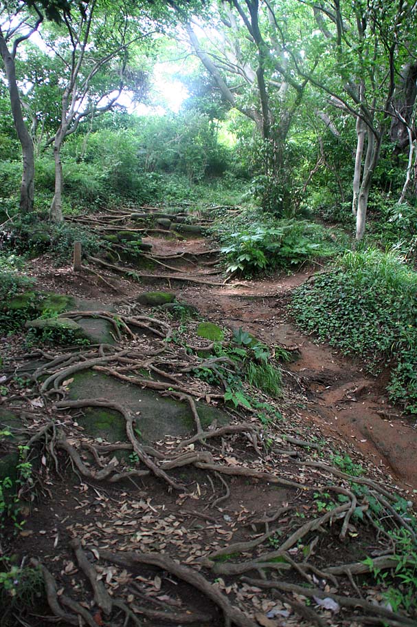
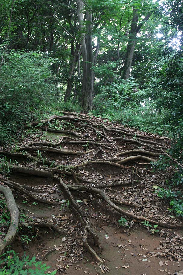
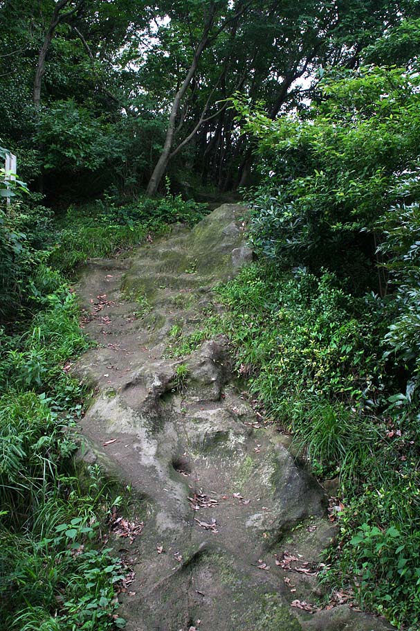
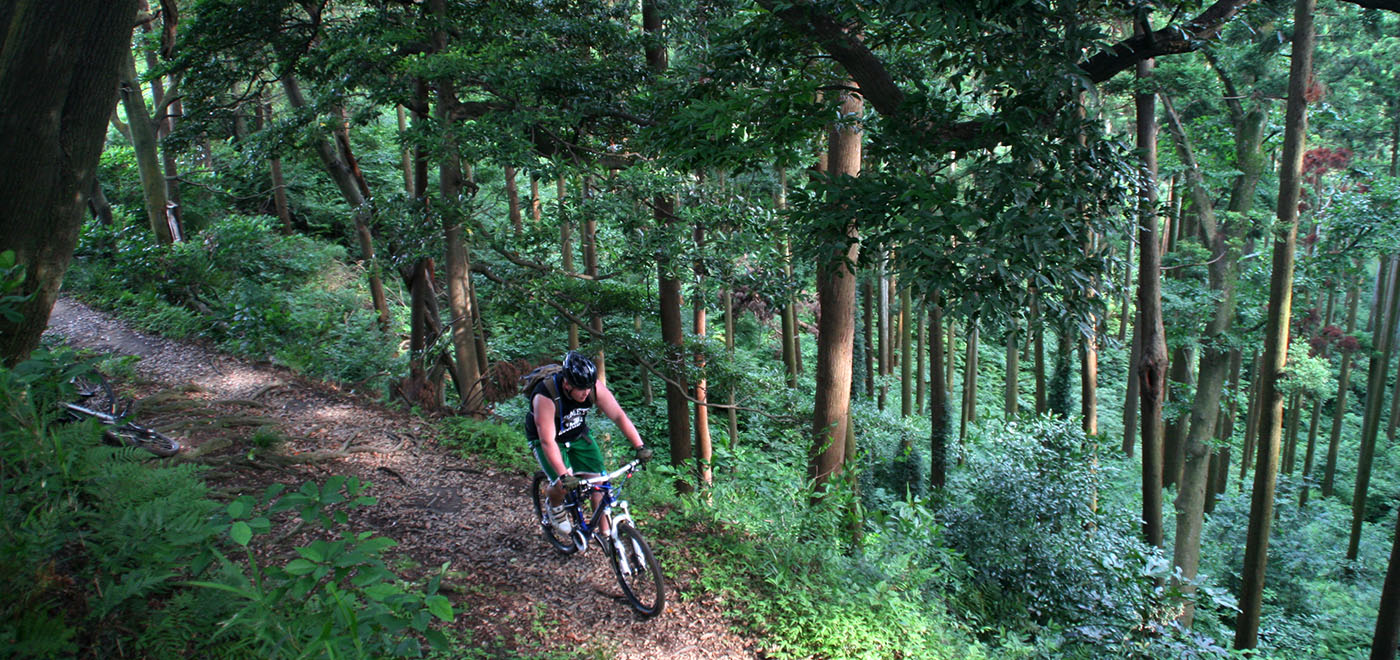
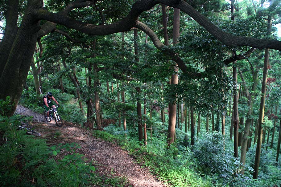
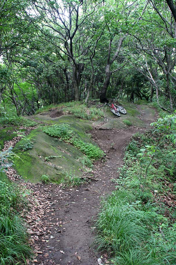
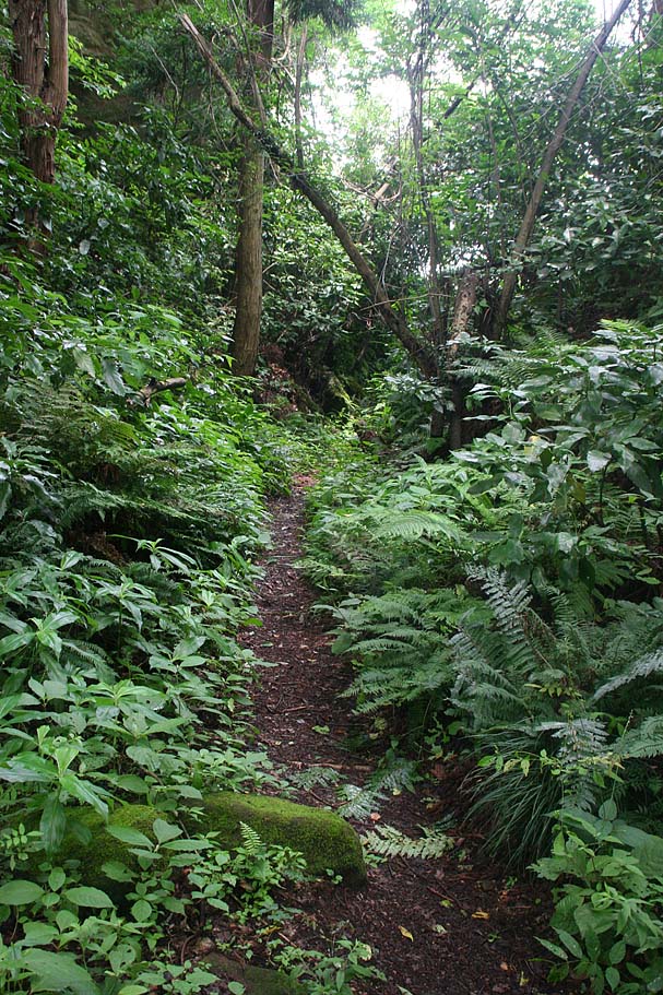
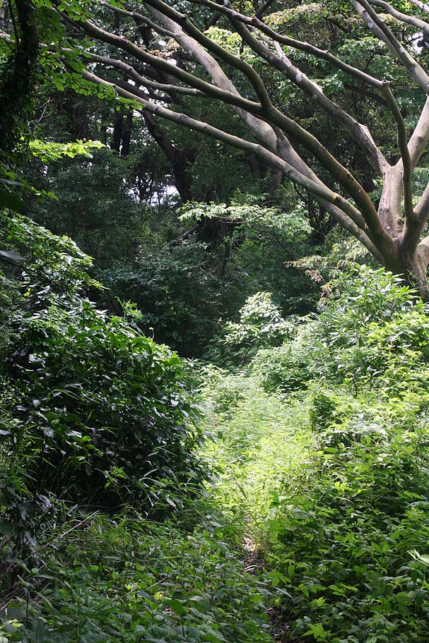
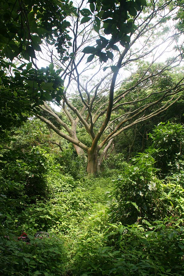
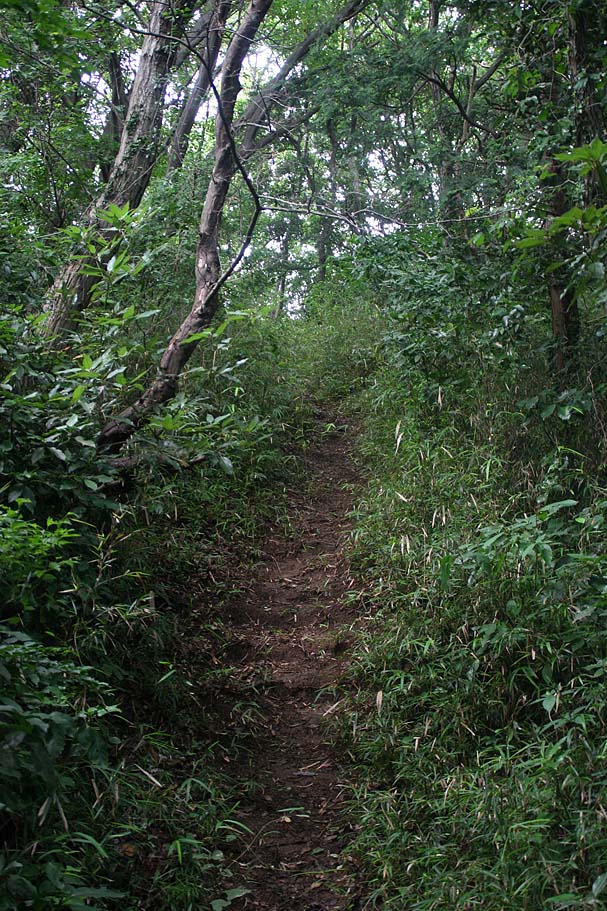
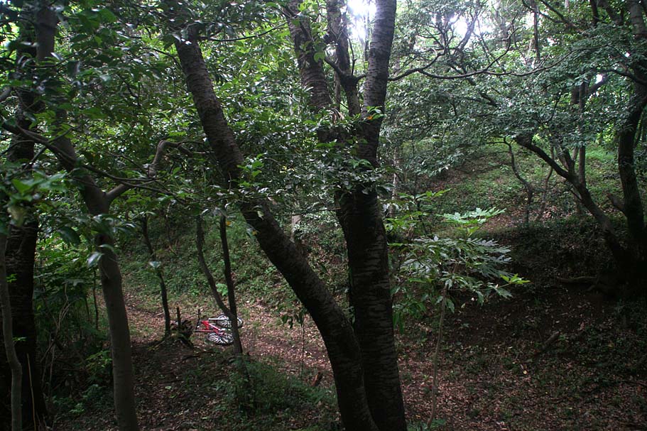
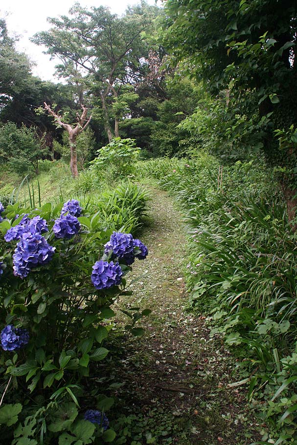
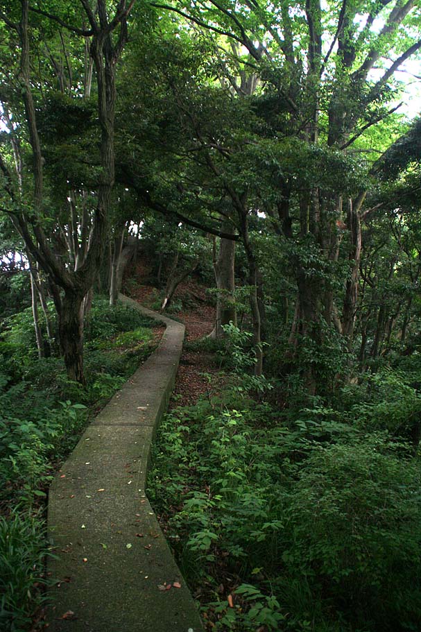
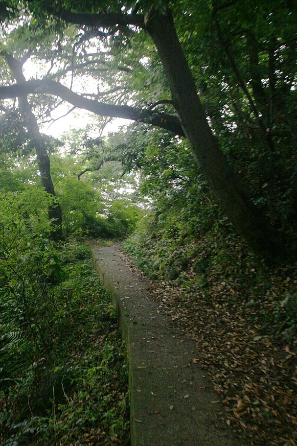
The next half mile works it way along the ridgeline up to the summit. There are a couple of trail junction heading off to the west along the way. You will want to stay up on the ridgeline. I love the section up to the summit (Taka-6 to Taka-8). There are some rock rollers to play on as well some rooty bits that over some challenge you bike handling skills. The forest scenery is really awesome.

More views from along the ridgeline
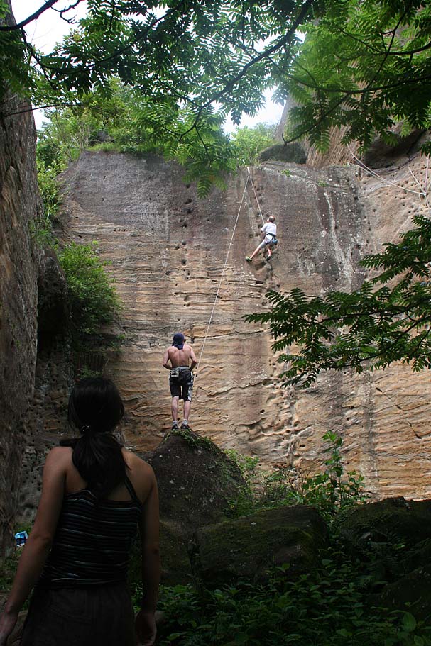
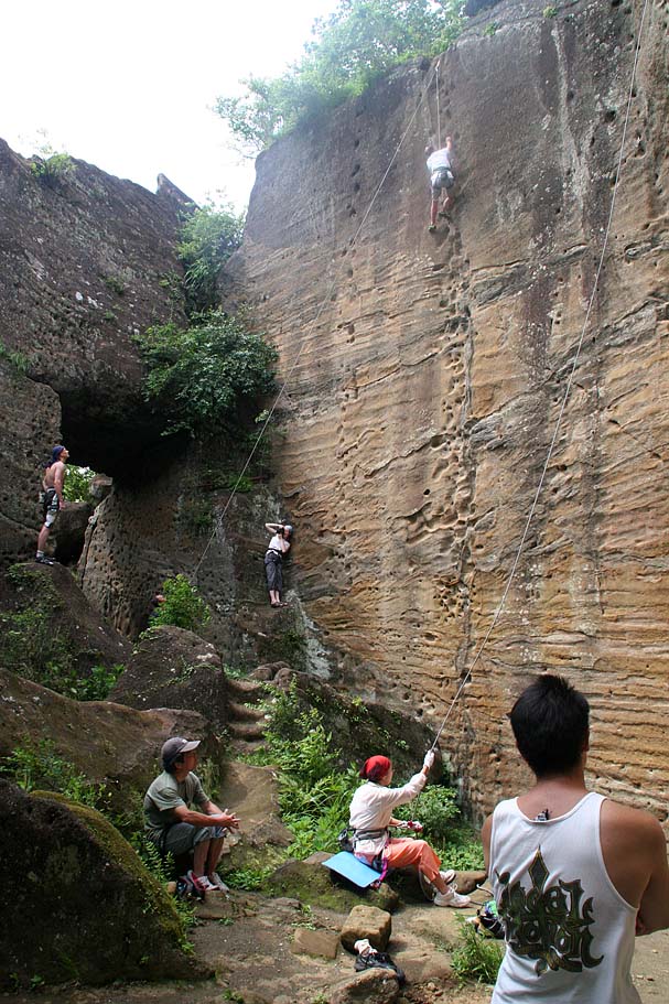
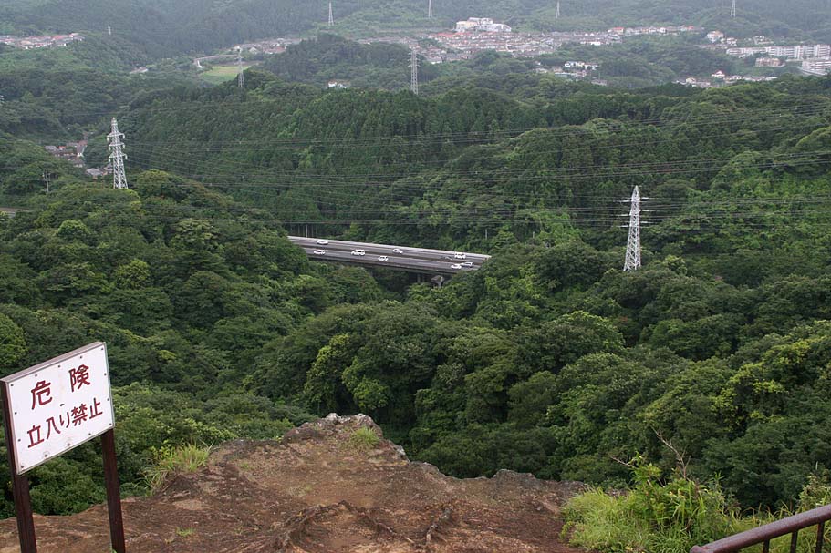
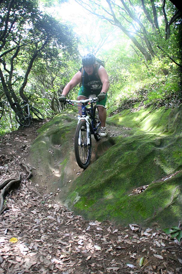
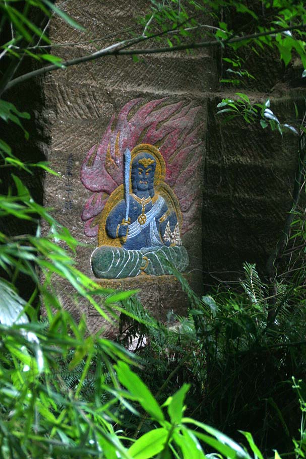
As you approach the summit area (Taka-8) from the south you will come into one of the main rock climbing area where chances are there will be at least one or two people playing on the rock face. The trail to the left is pretty obvious but the trail to right is not. Take a minute to locate it. Off to the left is the actual summit and a good observation area as well as rocks to play on. Going to the right will take you over the really awesome statue. I suggest that you go to the left first.
In the summit area proper is a parking lot, rest rooms and a soda machine. Also there are series of technical bits you can play on left over from the quarry days. Above the rock/step play area there is a large open field. On the far side of the field (Taka-9) is a trail that goes up to a observation area at the actual summit. You will also see another small rock face on the west side of the field. At the base of this rock face is the trail that goes to the Jimmu-ji (JimmuTemple). Read more about that below.
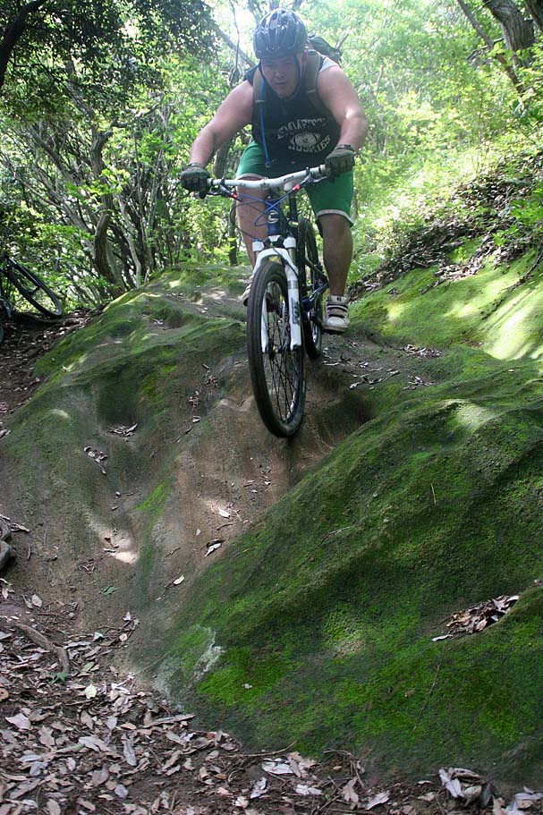
Dan's Shintastically Painful drop sequence.
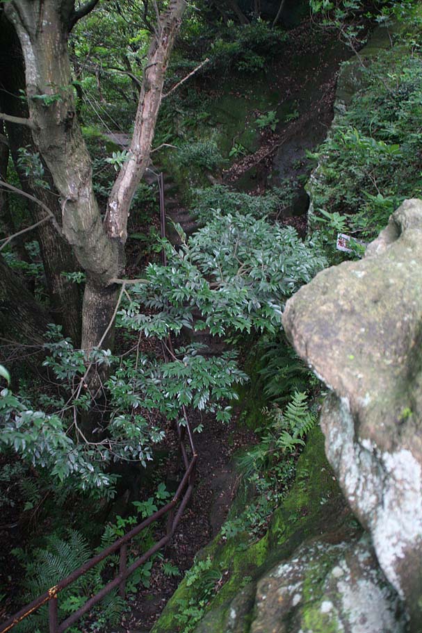
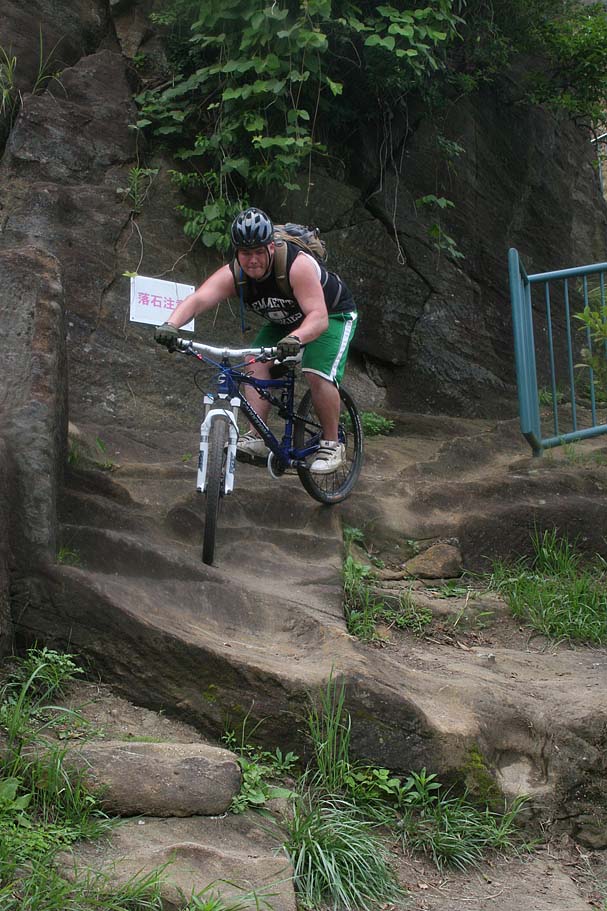
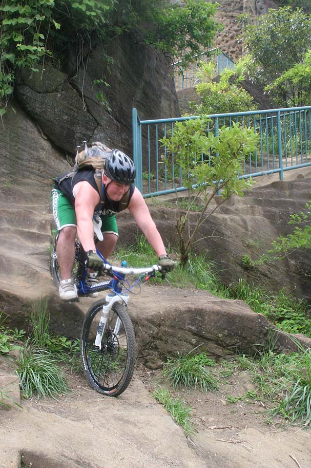
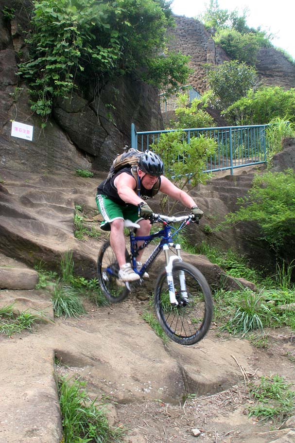
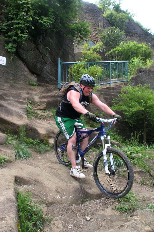
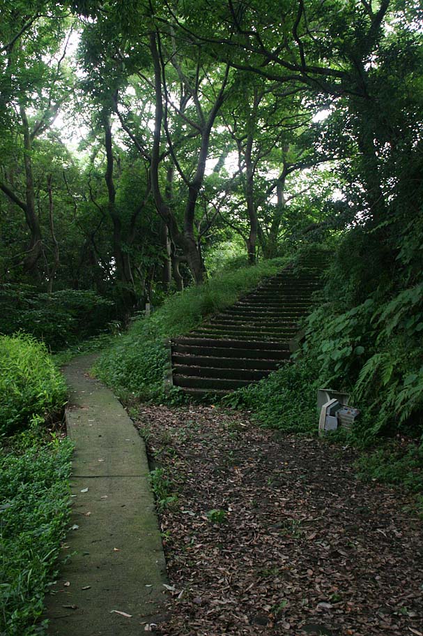
After checking out the summit area head back to the main climbing area where you came in at (Taka-8). This time take the trail that was on your right as you came in. Once on this trail you will soon come to the top of a ton of concrete stairs (Taka-10). If you have not learned how to ride this yet, now is a good time. If you put the saddle down, keep your weight way back, try to stay off the brakes and certainly stay away from the front brake and things should go well. The faster you go the smoother it will be. Good Luck!
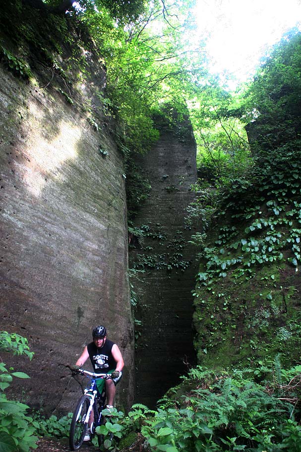
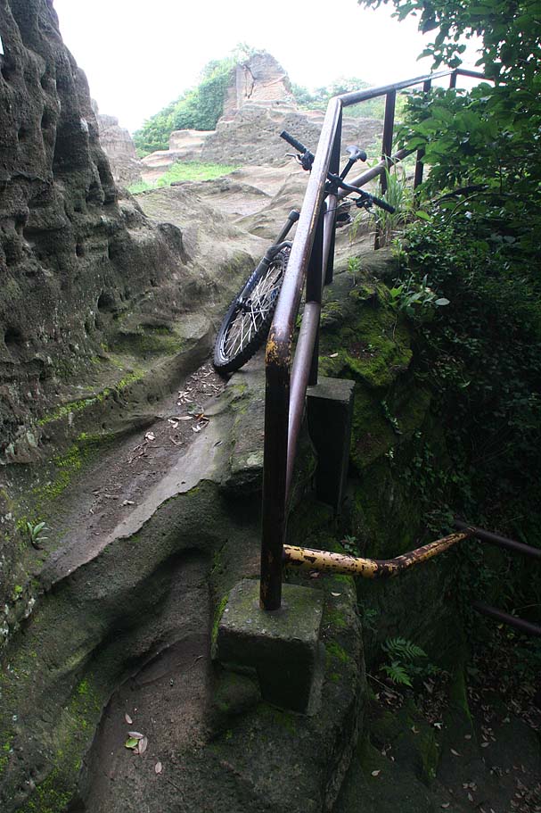
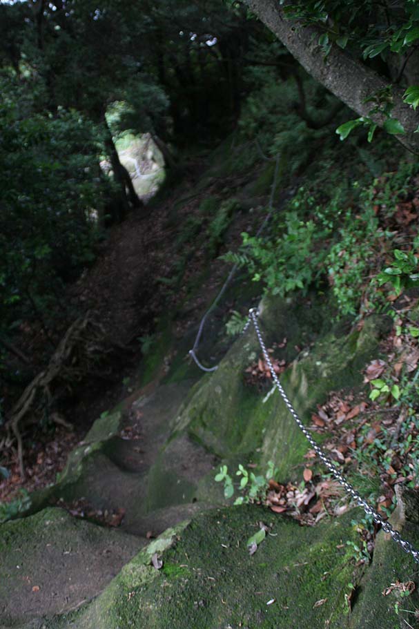
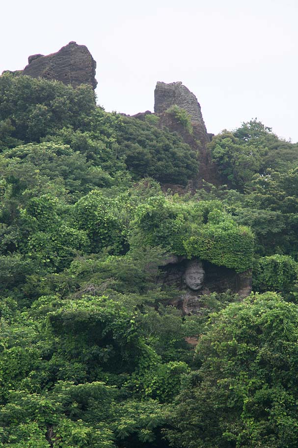
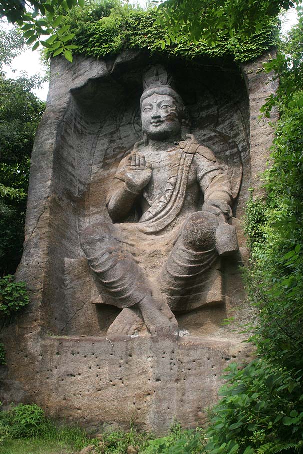
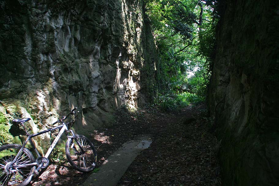
Once you get to the bottom of the stairs you will ride just a bit of trail and some stone steps before popping out into a small clearing with this really tall (about 30 feet) and absolutely awesome budda statue. (Taka-11) The trail continues to the left of the statue. Shortly after the statue, the terrain turns steeply downhill and you will have some tricky bits and log steps to negoitate. There are some interesting nooks and crannies along the route to check out that were created by the quarry work. The trail will eventually bring you to the top of a long long set of concrete steps down to a street.
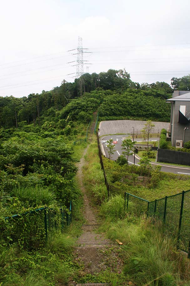
When you drop down onto the street cross it and follow the street with the school on the left (Northwest). Once you pass the school take the second left. You can take any of the first three lefts as all of these streets feed into a North-South street that leads to the northwest corner of this housing developement and the paved street entrance to the Takatori summit park (Taka-13). Take this street uphill for just a 1/10th of a mile (Taka-30) and look for a trail heading off to your right (west). This is a decision point for you. The basic route would be to climb the rest of the way back up to the Takatori summit and then head back along the ridgeline to finish off the loop. However there are some really nice stuff worth the checking out from both a riding perspective and a cultural perpsective along what I would call the "North Side" trail.
North Side Trails
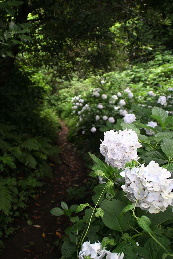
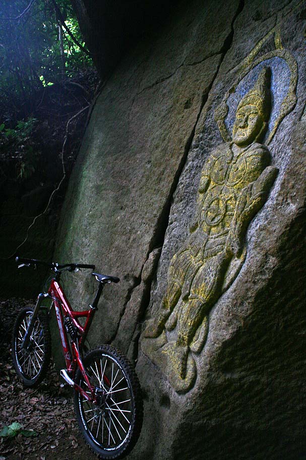
Even if you do not have time to ride the north side trails you should check out the craving on the rocks near the entrance to the trails. For me this is one of the coolest spots in the area and it facisnating to check out the craftsmenship in the rock. Down the trail about 40 feet there is a short path that leds to some really cool relief sculptures in the rocks that you have to check out. This area is what I consider a hidden treasure and it should not missed. I have not been able to dig up must information on the origin of thes relief sculptures (not in English anyway). Information or not you have to check this stuff and don't be in a hurry as there is stuff all over the place in this area and not all of it is obvious.
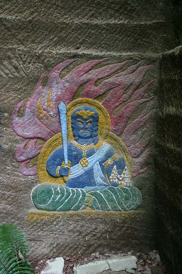
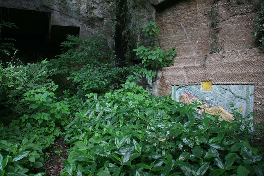
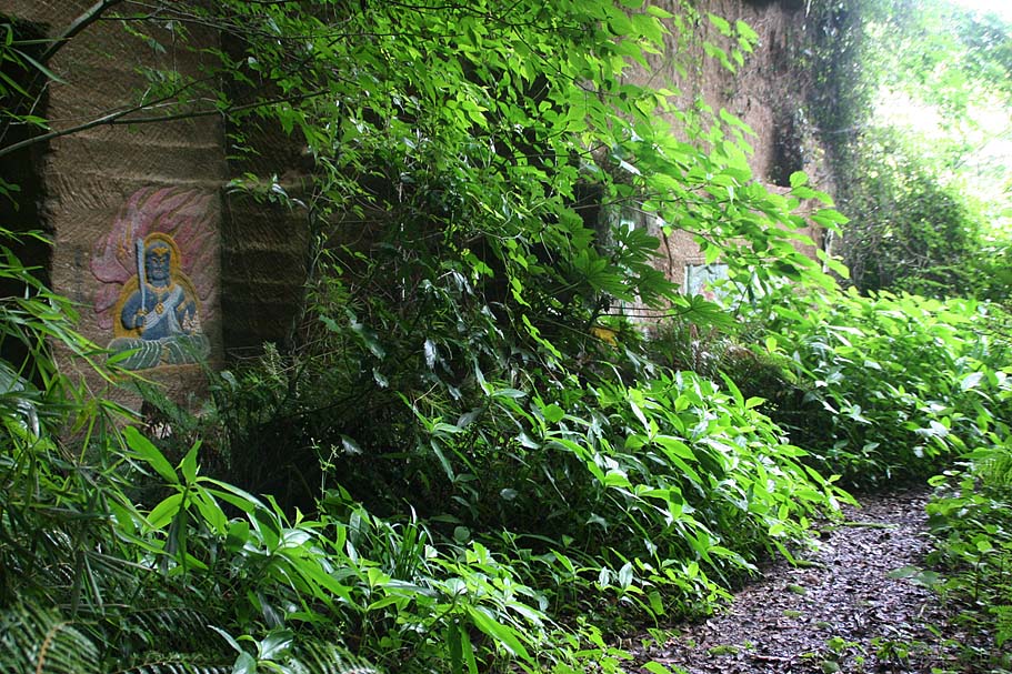
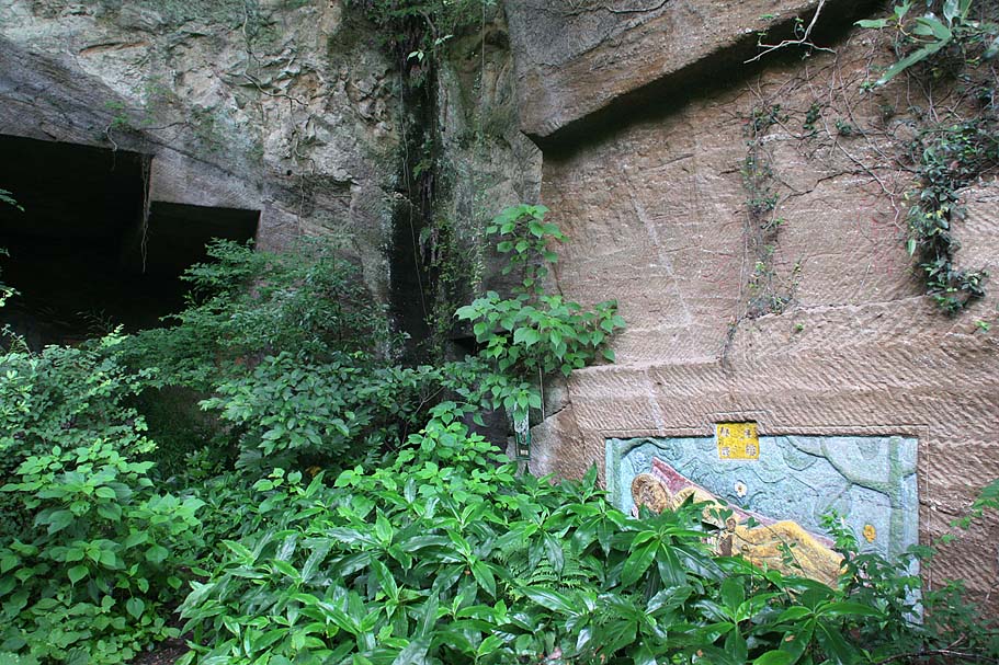
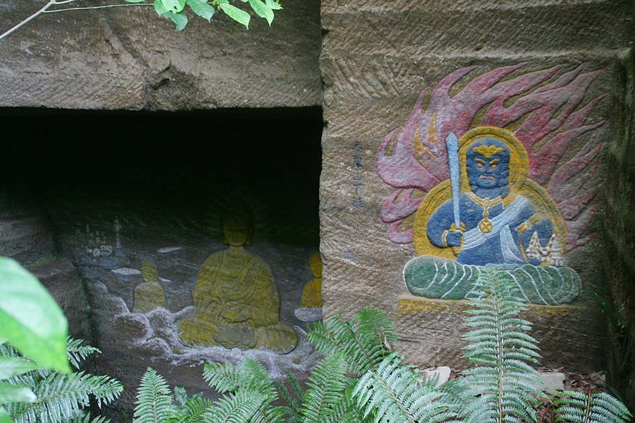
Views of some of the "Hidden Treasures" of Takatori-yama
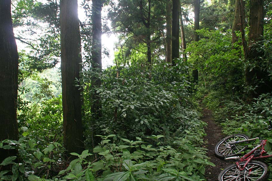
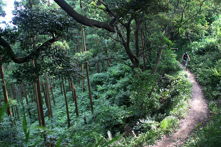
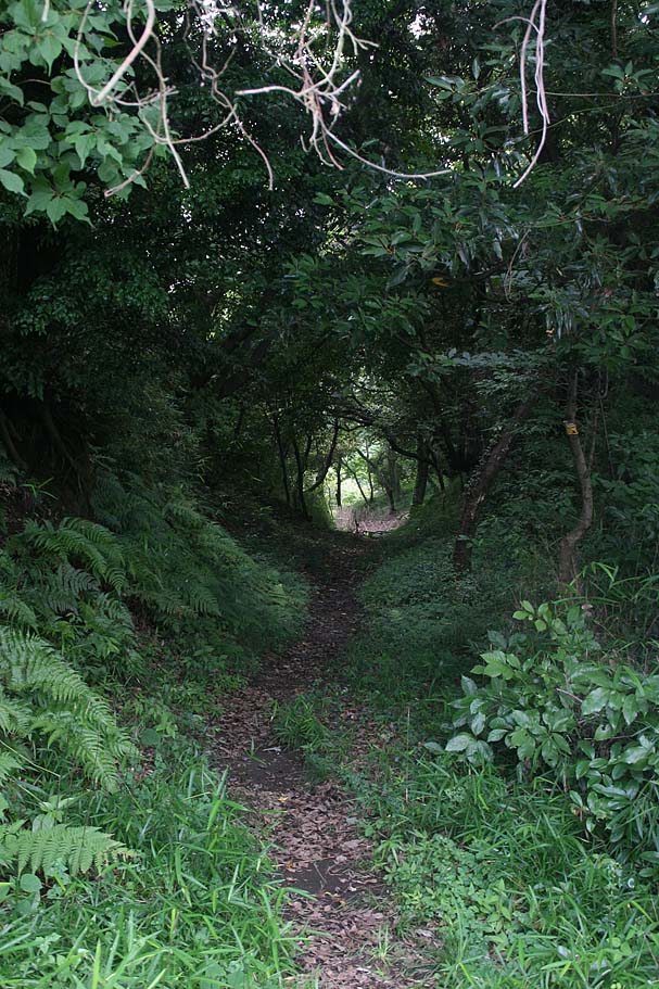
Going about 60 yards further up the trail you will come to a T-intersection in the singletrack. The trail to the left (south) turns into a steep hika bike that hooks up with the East-West trail to the Jimmu-ji. You will want to go to the right and take the trail to the north. There are quickly a couple of rooty spots that you will have to hike-a-bike but after there it is all ridable and mostly downhill. After this there is an oppurtunity to gets some good cruising in for the next 3/4ths of a mile if you follow the ridgeline and the more used routes.
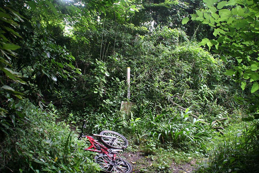
Along this trail are severa trails that head off to the west and steeply off the ridgeline. I have taken some of the past but can't fully recall where they pop out at. Once you get to know the area it be worth checking them out. But initially stay on the ridgeline. At Taka-34 on my map and KMZ file there is trail that splits off to the right. This is pretty cool trail that goes on quite a ways and may connect with other stuff to the Northeast with a bit of street hopping. It is worth doing as an out and back. For this route take the split to the left (Pictured to the left above). The visual checkpoint along the route is when the trail passes under and powerline tower. It is labeled number 47. There is a split in the trail just after the tower. The split to the left is the more used trail and you should take it. (Pictured to the right here)
Beyond Tower-47 the trail continues a nice flowing descent that allows you to carry some good speed. The trail will soon come out into a industruial area that is a recyling facility. (Taka-35) From here you have basically three choices. You can drop down the pavement to the Highway 205 and loop back around through East-Zushi and/or the Ikego area. You can also retrace your route back to the Takatori summit making the ride and out-and-back. Finally you can connect over to Sengen Yama (aka Duckpond) riding area via mostly trail. (See description below)
Takatori to Sengen-yama (Duckpond) Connector
I am pretty stoked to have figured out this connector. This is not a particularly easy connector in either direction, but I like better than a full stree connection. I suggest that you do both Takatori and Sengen seperately before attempting the connector just so you know when you have "made it". Study the Google Earth file closely particularly the aerial photo layer. This decription is based on the Takatori to Sengen direction.
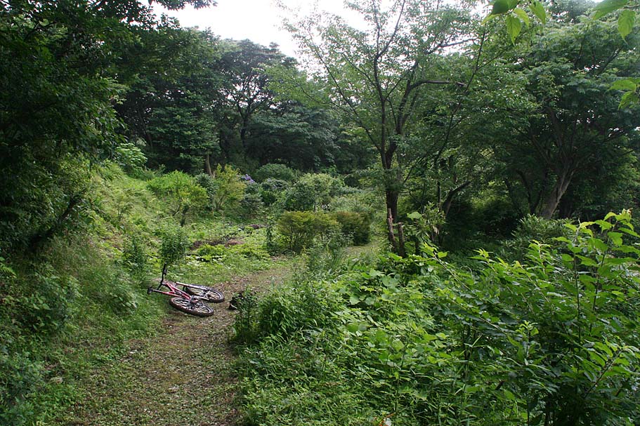
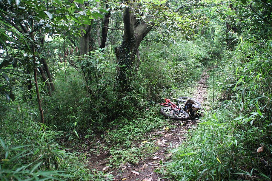
The connector from the Takatori end start about 40 yards back from where you came out at the recycling plant at (Taka-35). Odds are you did not even see the trail going off to the right. That is because it is rather small and as you are coming down the hill your eyes are naturally focused elsewhere. It is easier to find if you came back from the recycling plant. A rather prominent tree is your main guide for finding the trail. The picture to the left is the trail as you see it when you are coming down the trail headed for the recycling plant (Taka-35). The main trail bends to the left and the connector splits off just a maybe 10 yards past the apex of the turn. Way easy to miss. The phot to the right is past the connector looking back at the tree. My bike is laying in the trail at the connector. It is pretty brushy right the split but is well defined about 5-10 down the connector and it is much easier to spot going in this direction. Hope onto the connector.
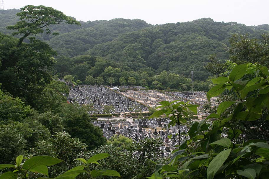
You will do a bit of very short uphill gruntage as you go along and narrow chunk of ridgeline between the recycling center on your left and a cemetery on your right. There is one spot where there is only about 10 feet between the two which each having a fence. After this chock point you will have another quick rise before descending down to a trail T-intersection. The picture to the left is one of those rises and the photo the right is view along the connector as you approach the T-intersection (TA-SG-07).
At this intersection you will want to go to your right (North). There might be a little sign that looks like the one pictured to the right, but you can't always plan on these things sticking around for more than a year or so. Once you hang a right you will shortley come out into the an open field where you can see the trail and a power tower on the far hill. It is pictured to the left.
SIDE NOTE:If you where to the go to the left at this intersection you would come up to an interesting garden (044) followed by a nice little bit of trail. After a split in the trail (045) the trail gets progressively overground. Until you come to a fenceline that marks the boundary of the Ikego military housing base. If at the split (045) you were to have taken the downhill route it would have dumped in out on highway 205 at waypoint 047. Kind of a bust trail wise. We now return you to your scheduled trail directions :)
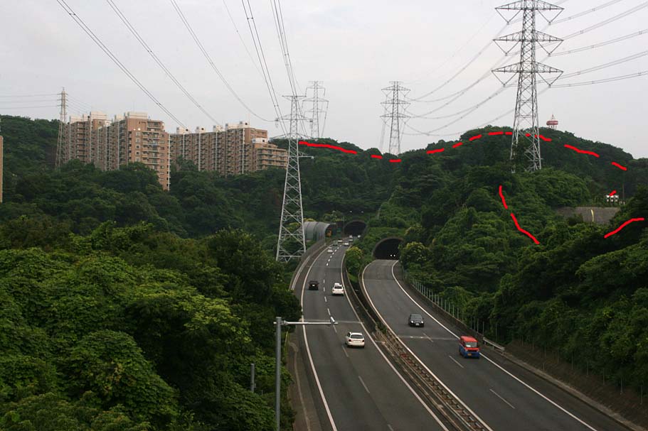
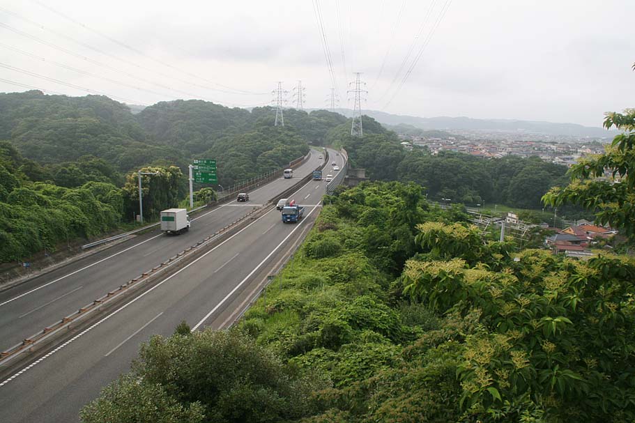
So turn north from T-intersection (TA-SG-07) you will cruise along the trail with some minor steps, pass under some power lines and then descend down to a footbridge going over the Yokosuka-Yokohama (commonly referred to as the "Yoko-Yoko") expressway (TA-SG-06). The picture to the left is taken from the middle of the bridge looking back the way you came. The red-dotted line is roughly the path of the connector from the south up to this point. Turning around and looking to the north, (pictured to the right) take note of the power towers and on the far hill where the expressway goes into a tunnel. The trail goes over the tunnel and by the power towers after you do a bit of street connecting.

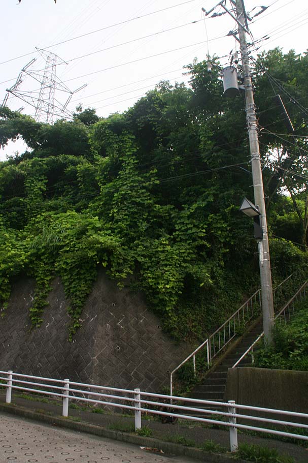
There is a metric ton of steps to take down to the street from the footbridge. They are pretty steep but if you ridge around this area of Japan much you will get the hang of it. The last flight down onto the street is really tricky as you don't have any runout as there is a guardrail on the sidewalk (also known as OTBer or "Over The Bars Ejector Railing"). The picture to the left is from the top of the stairs and the picture on the right is from the bottom to help if you do connector from the other way. The street connector from here can be done several ways but this one is fairly straight foreward. Once down the stairs go downhill on the street. At the first T-intersection, hang a left and go under the Yoko-Yoko. You will soon come to another T-intersection. Hang a right. This road overpasses the railroad tracks and goes under the Yoko-Yoko again. You will pass and small street on your left and you will then come to a larger intersection with cross walks on all streets. Hang a left here and start climbing uphill. Take your second left and then take your second left again. This will take you to the corner of this neighborhood your are in and a small temple. These directions sound complicated but look at the Google Earth file (zoom in) and it should be come pretty clear. When it doubt go toward the nearest power tower and you will end up at this temple. Just north of the temple is a sidewalk looking concrete access going up toward the power towers further to the north and the rest of the connector trail. (TA-SG-03)
Once back onto the trail you will initially have a technical ditch to hike-a-bike across but after that it is all (if I recall correctly) rideable stuff for the next .45 miles. (There are some steep bits that will be hard to ride if there is moisture on the ground. You will then come up to a power tower where another trail joins in from your right (TA-SG-02). You will want to continue going up hill. If you were coming from the other direction (Sengen to Takatori) you will find the picture here useful. The picture to the left is taken from the view point of coming down the hill from Sengen-yama. The trail comes out at power tower number 30 and splits with each trail seeing about the same amount of usage. You will want to take the for tot he right. (Should you take the fork to the left things will get really steep in a hurry before dumping you out onto a neighborhood street.)

Continuing westward and upward from power tower 30 you will have less than a quarter mile until you reach the Sengen-yama trail system. (TA-SG-01). If you have ridden Sengen before you should recognize where you are at. The picture to the left was shot looking back at the intersection. If coming from Takatori you would be coming in on the trail to the right heading from the camera. From this point you are in Sengen-yama and you can do what ever route suits you (I will be updating that page soon to a similair format as this one)
Southeast Area
When you first get up onto the Takatori ridgeline (Taka-06) using the directions above there is a good bit of trails off to the east that are worth checking out. Most of the trails over there have a small concrete sidewalk right in the middle of the trail. I'm not sure but there maybe irrigation pipes inside the concrete. Either that our this is just a "mountain sidewalk". People do plenty of walking here and these routes often serve utilitarian roles beyond just recreational usage. A route I found fun was Taka-06 to 22, 23 and on to 24. The trail system may extend beyond Taka-24 but when I was last here I was fighting daylight and had to relent to streets at that point.
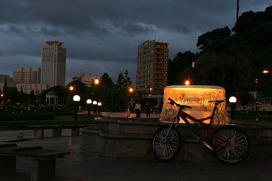
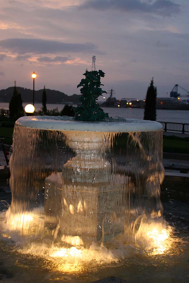
Pictures from the South east area as well as waning daylight one the return back to Yokosuka from Takatori
Trail to the Jimmu-ji (Jimmu Temple)
There is a trail that goes from the summit of Takatori to the Jimmu-ji (temple) to the west. I have only ridden/hike-a-bike a portion of it to the west. I have friends who have hiked it that say it is difficult to hike let alone ride. There are certainly some technical hike-a-bike bits but there is always some burly technical bits to play on if you are looking to sharpen your skills. At some point I would like to check out the entire route. I may have to hike it first before lugging a bike any further west than I have already gone. Make sure to check out some of the pictures linked to the temple from Google Earth. It look pretty awesome, particularly in fall