Ogusuyama in Japan
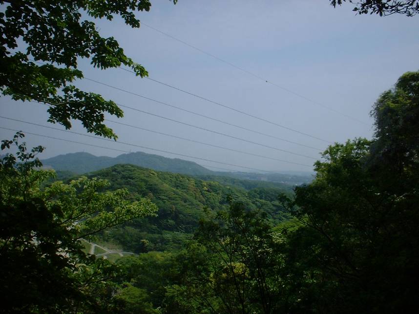
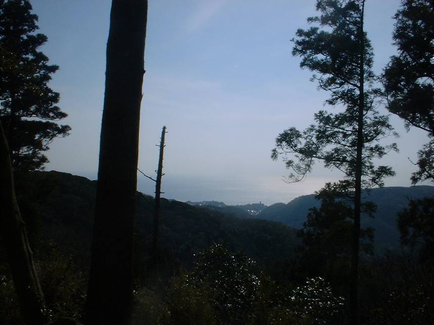
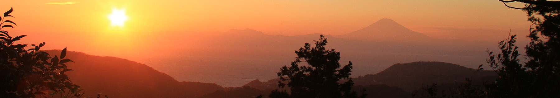 A view of Segami Bay and Mt Fuji from Ogusuyama
 Located between Yokosuka and Hyama on the Miura Peninsula, the Ogusayama area has a network of trails that are a blast to go down, but forces you to work for the fun by getting some stiff climbing. Ogusuyama (Mt. Ogusu in Engrish) is the highest peak on the Peninusula.
2022 UPDATE: The map needs some updating due to some development. I will look to annonate in my blog posts until I get them figured out.
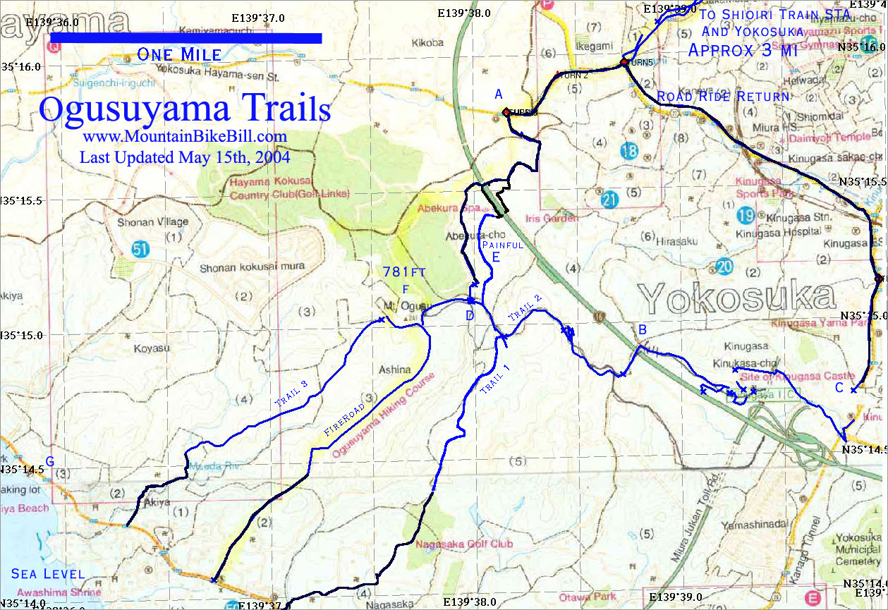

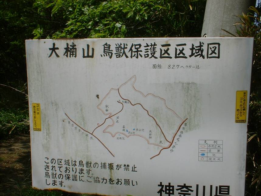
Here is a map of the Ogusuyama area. The quality is not as good as the maps I make when using the TOPO! software. This was done using GPS Utility version 4.02 and a scanned map of the area.
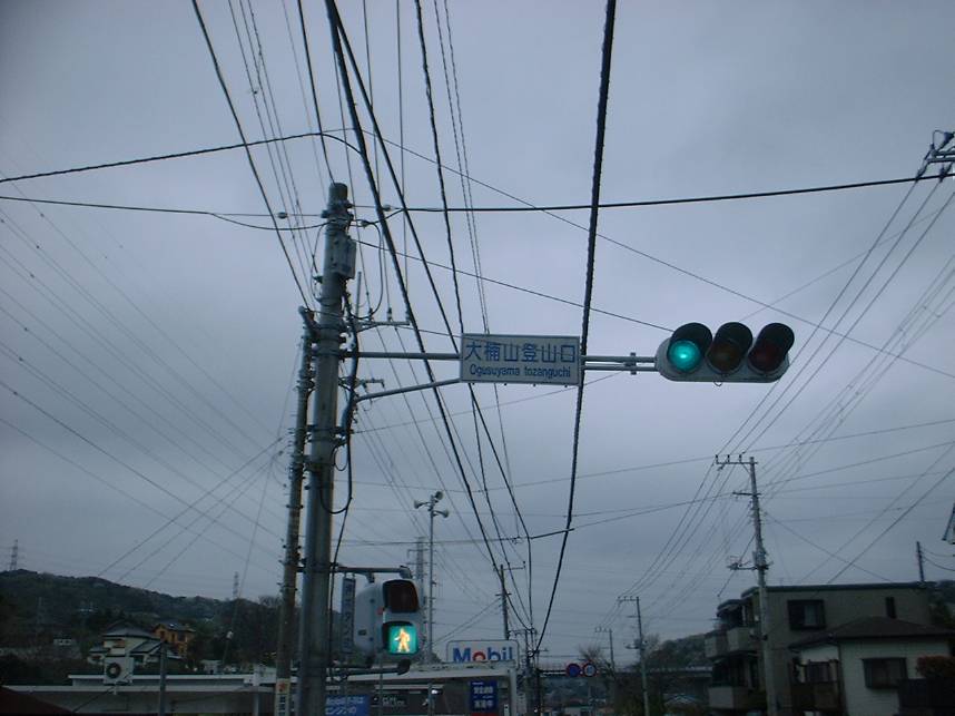
When coming up on the Yokosuka-Hyama road this the street you are going to hang a left on. (Point A on the map) From this spot here if you look about 30 degrees to your left you will see a ridgeline in the distance with power lines along the top. This is the general area that you are heading.
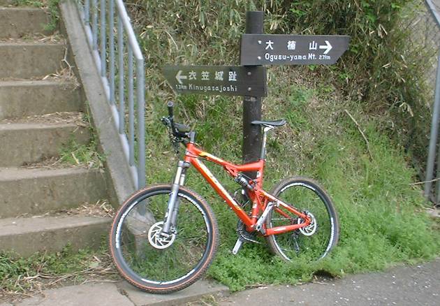
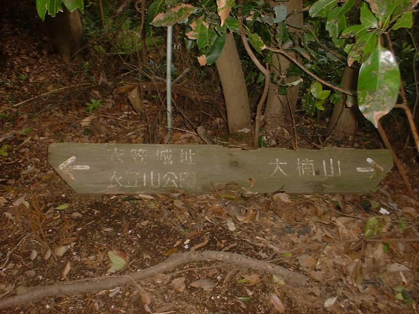
This is an important sign to remember. The left side of the sign is Kangi for Ogusuyama.
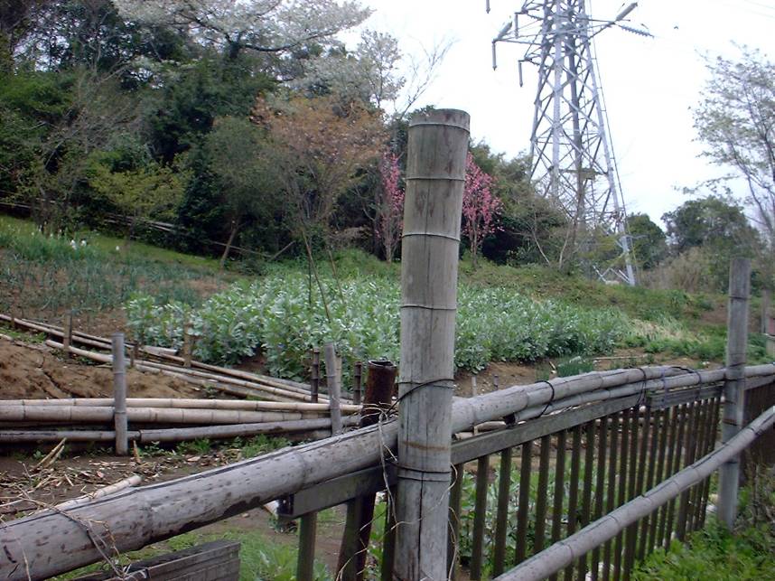
After hanging the left you will work your way uphill along narrow paved streets. Just remember to stay on the main road, which is not allows readily apparent. At the first T-junction, hang a left and go on uphill through some small patches of "countryside". You will continue to keep going up until you see a store on your right with a small street heading to the left at downhill. You will see a small sign in kangi for Ogusuyama. Take the left which goes down for 20 or 30 yards before turning uphill again. You will soon come to a Y-junction. You will see another kangi sign for the Ogusuyama which point to the left fork in the road. If you take the left fork it will take to the Painful Hike route up the mountain (Point E). Take the right fork which will take you uphill and soon you will cross a bridge over the Yokosuka-Yohohama Toll Road. You will come to another T-junction in the road. Hang a right here and continue uphill. From here just keep going up and up until you see a trail off to the left than runs along a concrete embankment. Take this trail which turns back into pavement after about a hundred yards. From here you will bomb down the pavement and then quickly have to grunt you way up another hill that runs along a golf course. Once at the top of this hill you will take a trail that follows along the fence line of the golf course. One thing you will notice on first rooty uphill section is that ground is predominately clay that can be quite slick, even during dry conditions. At first I thought the clay were smooth rocks, but one good whack on the shins from slipping will let me know otherwise. Right after the rooty uphill section, you will come to a T in the trail.
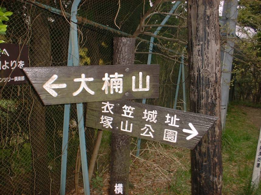
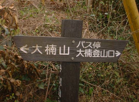
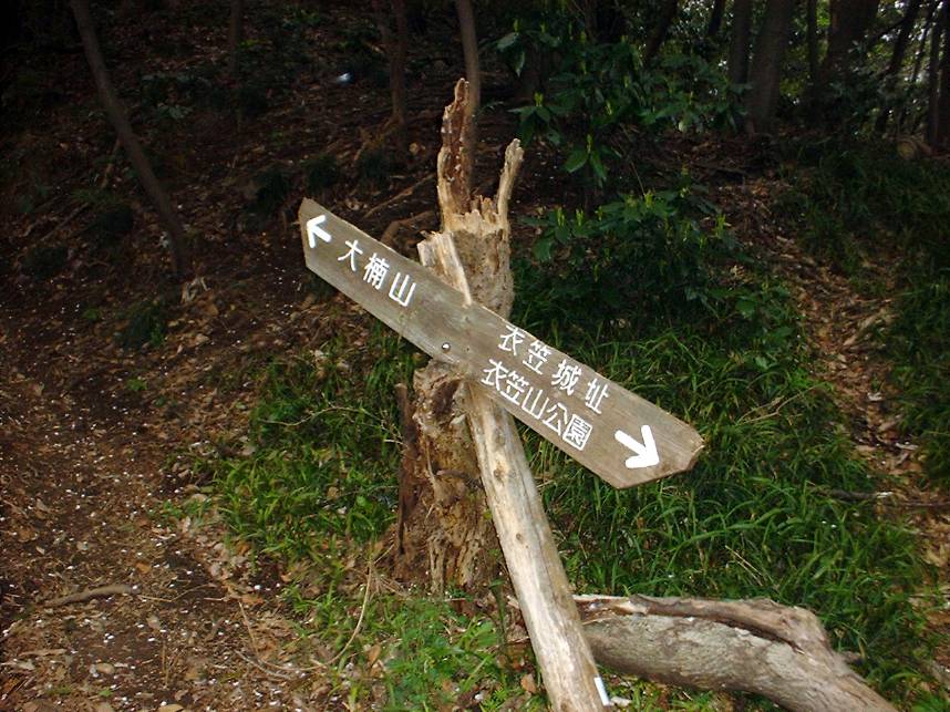
This is the sign at the T-junction. (This pictures was taken looking back at the way I came up so it is backwards from the directions). If you make a right here (following the sign to Ogusuyama) you will continue uphill to Ogusuyama Peak and Trail 3. If you go to your left this will take you Trails 1 and 2.
Trail 1
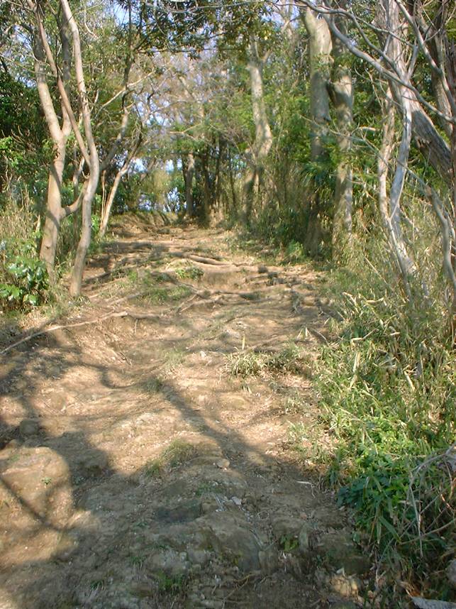
When you make a left at the main T-junction you are riding down along a ridge line. Shortly after you make start down this trail you will see a trail heading sharply down and to your left. This is the upper end of the Painful Hike trail which is quite beautiful but a real calf burner to climb up. It would also be quite hairly going down. Anyway stay on trail one and enjoy the the ridge riding. There is one spot were you will see the main trail bend slightly to the right while a nasty rooty uphill trail continues straight.
If you continue straight up the roots you will be on Trail 2. Staying on the main trail will continue your ridge riding fun as the trail works its way down the west slope of the mountain. There are quite a few off-shots on this that will require further exploration. This trail sees probably the least amount of hiker traffic compared to the other trails on the mountain. It will eventually dump you out at the end of a paved road. From here and your best option is follow the road downhill, and work your way down to Highway 134 were you hang a hang and right. Follow 134 until you come to a road called Ogusuyama Entrance. Hang a right here and take the road uphill. It will turn into a fireroad and climb up to Ogusuyama Peak.
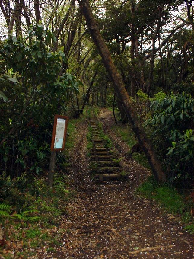
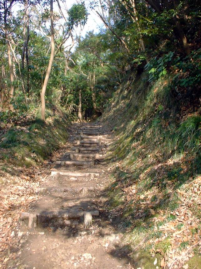
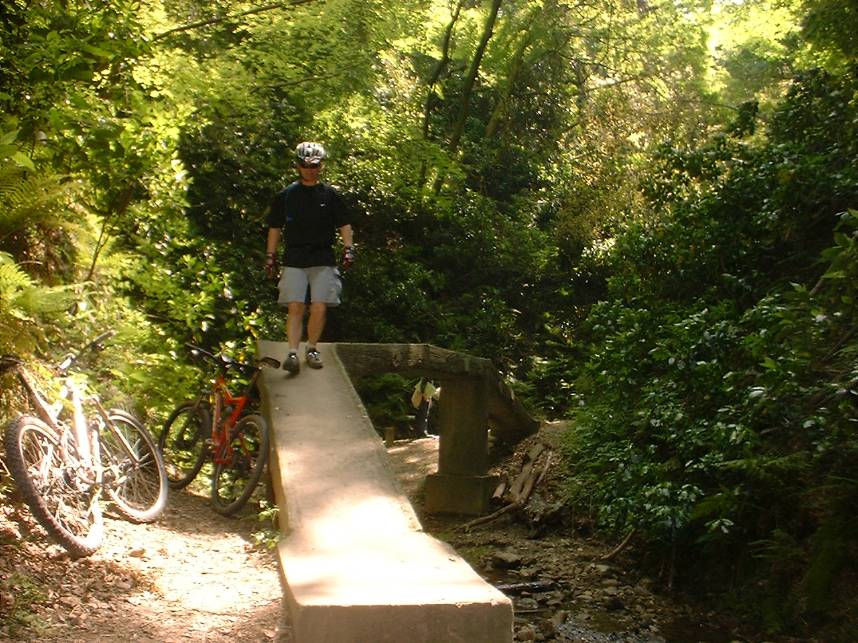
Trail 2
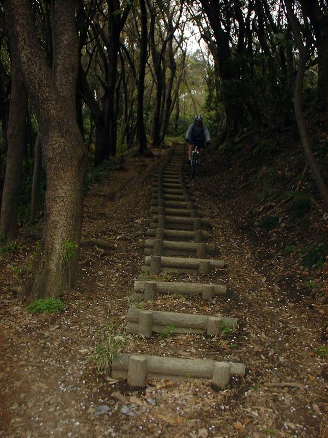
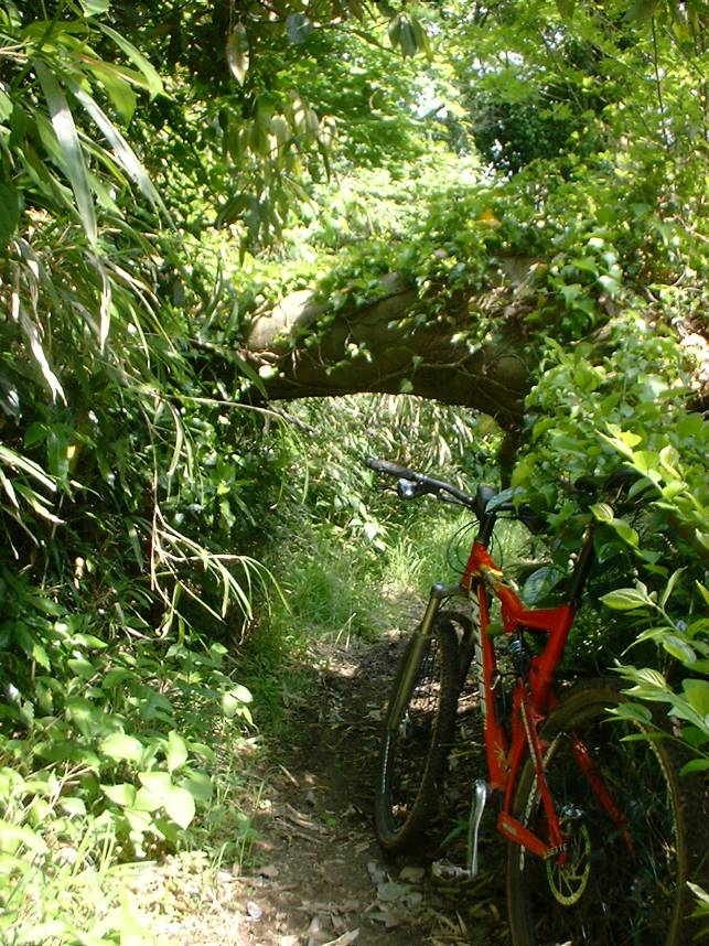
If at the the fork in the trail discussed on Trail 1, you take the uphill rooty choice to the left it will put you on Trail 2. This trail has a fair mixture of technical goodness and swooping downhill buffed goodness. This trail has a few sets of stairs that are constructed using faux logs made out from concrete. Most of them are fairly tame but near the bottom of the stairs they tend to more washed and if you do not hit them with enough speed you can find yourself heading face first into a concrete log. Which can be no fun whatsoever, just ask this guy. This trail bobs and weaves and back and forth and is canopied most of the time. This trail will eventually parallel a small road where you will some get onto a concrete bridge across the road where you will pick up the on the other side of the road. The trail will then turn to the left and continue following the road up to an intersection. At the intersection you will get onto the road and cross the intersection and continue in the same direction that you were going when you were following the road on the trail. After about 100 yards or so look for a trail with vertical motorcycle barriers in front of to your left. This trail is rather short and swooping with a few ruts to continue with as it takes you down to large footbridge that crosses over the Yokosuka-Yokohama Toll Road. After crossing the bridge you will be at Point B on the map.
Additional pictures along Trail 2
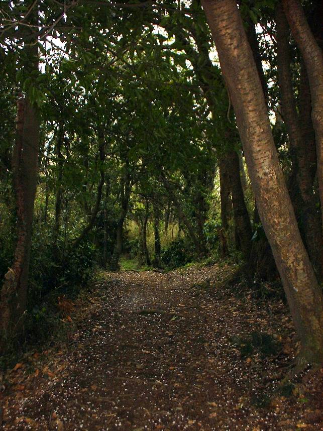
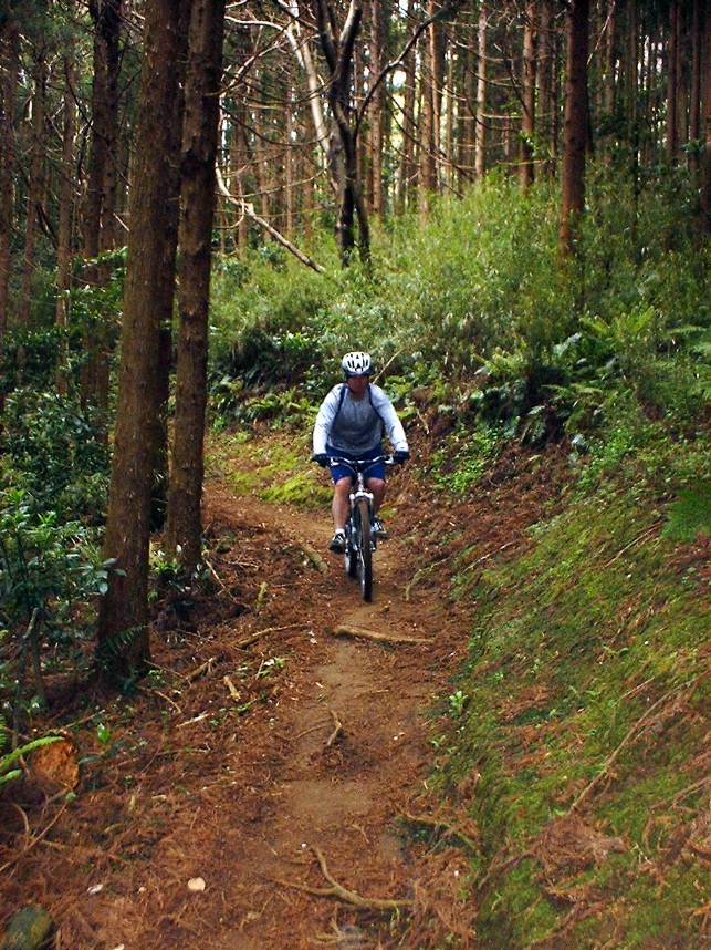
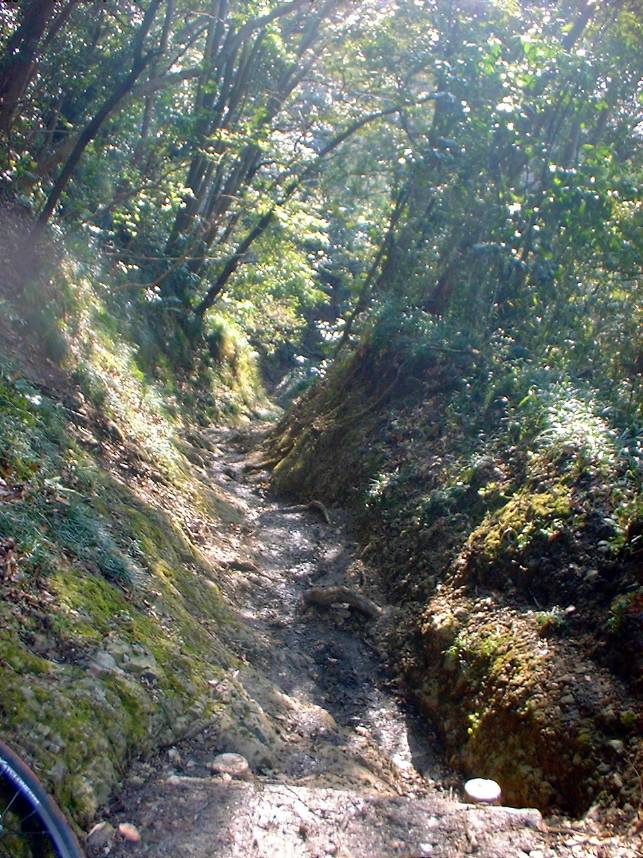
Trail between Point B and C
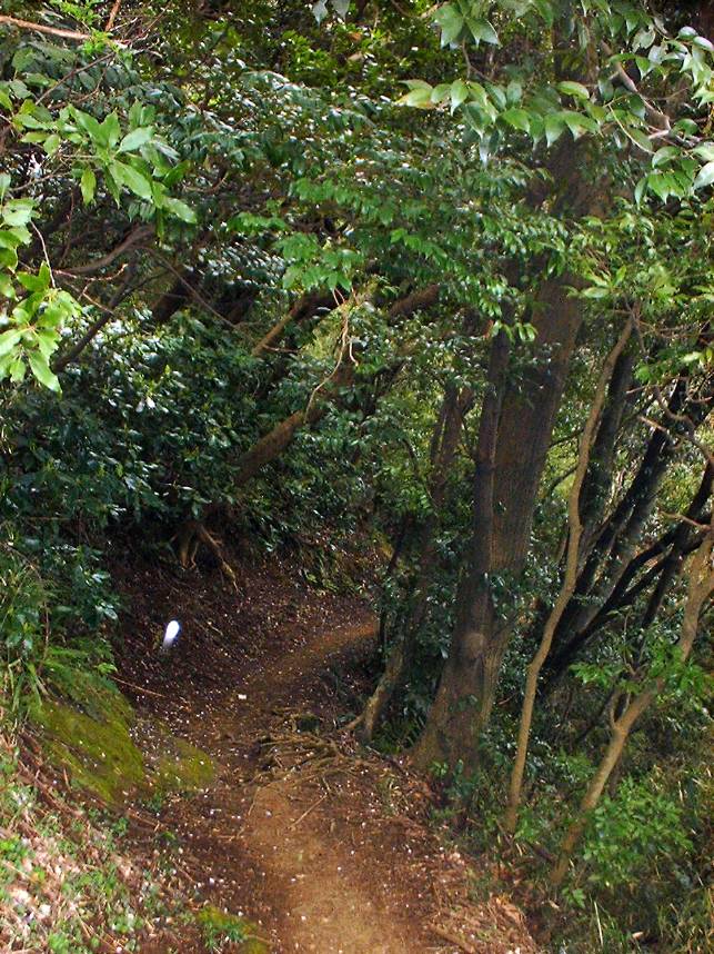
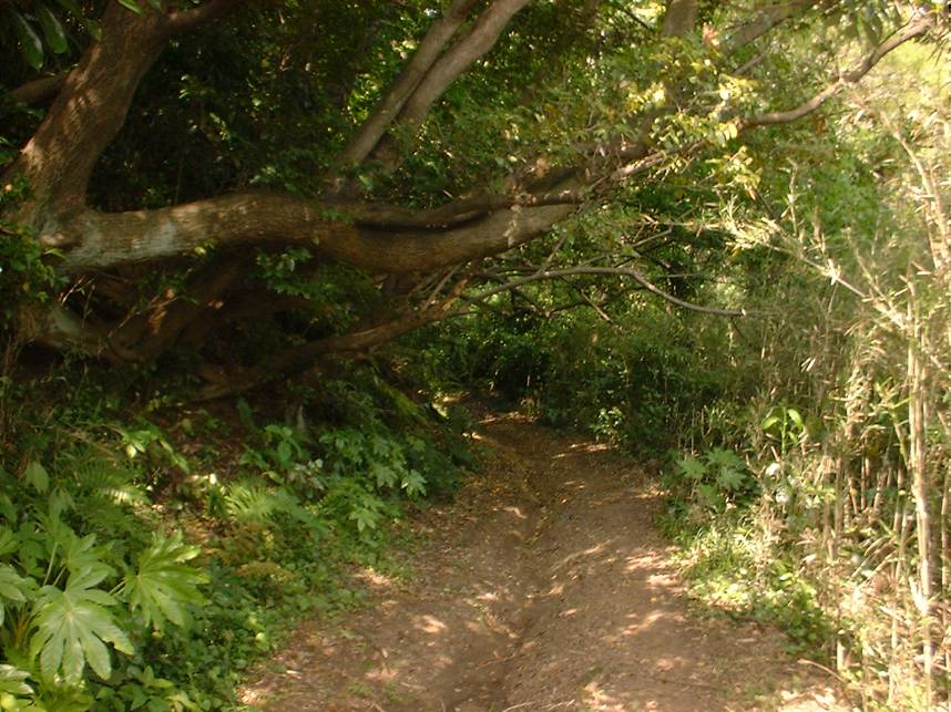
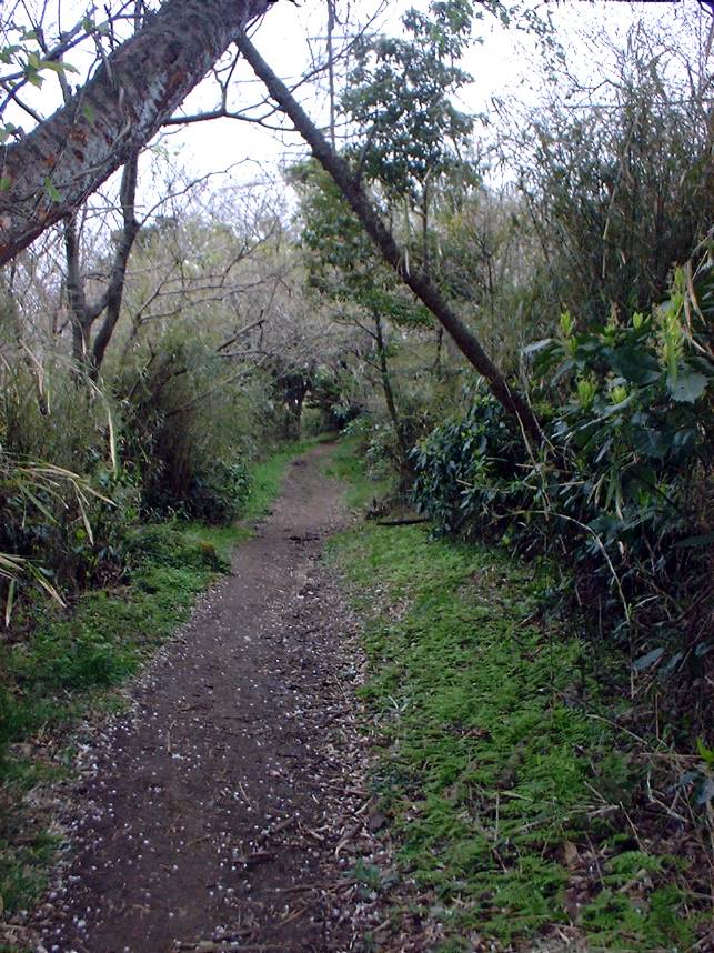
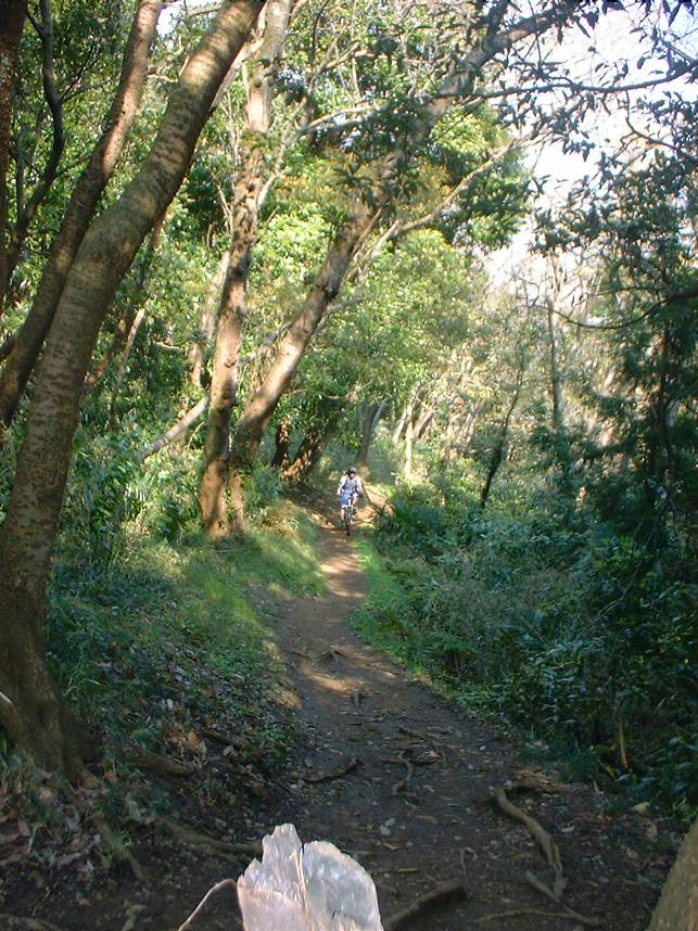
Once have come off of Trail 2 you should be at Point B on the map. From here you will take the steep stairs up to the trail. I really like this section of trail, it has a Pacific Northwest feel to it with some buff trails and tall pines. Near the trail throws in a rock outcropping or two that can make things interesting.

This section of trail is much "Slicker Than it Looks". This is the final climb that you do before you come out on a very narrow street at the top of a hill. From here you you will head downhill on an extremely narrow street. You will pass through a very small parking lot with another trail type sign put up an set of very steep steps that lead up to a small temple/shrine. You can continue straight through the parking lot and down to the surface streets where you can find you way back to where you came from.
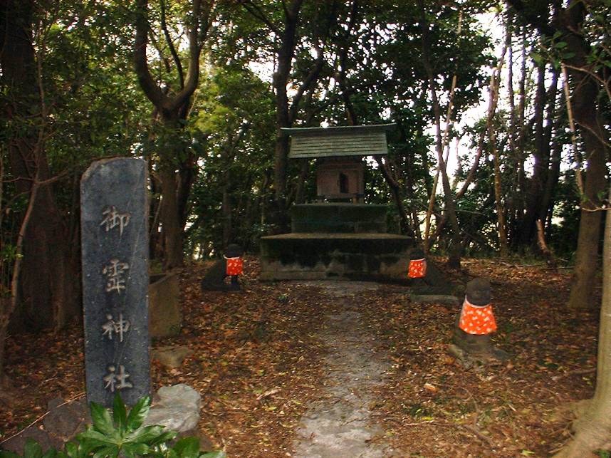
OR if you are interested in a bit of gnarlyness then head up the stairs to the temple/shrine. Please don't ride your bike through the temple/shrine grounds. As you come to the top of the stairs walk along the edge of the very small meadow to your left where you will pick the trail in the back corner.
Ogusuyama Peak and Trail 3
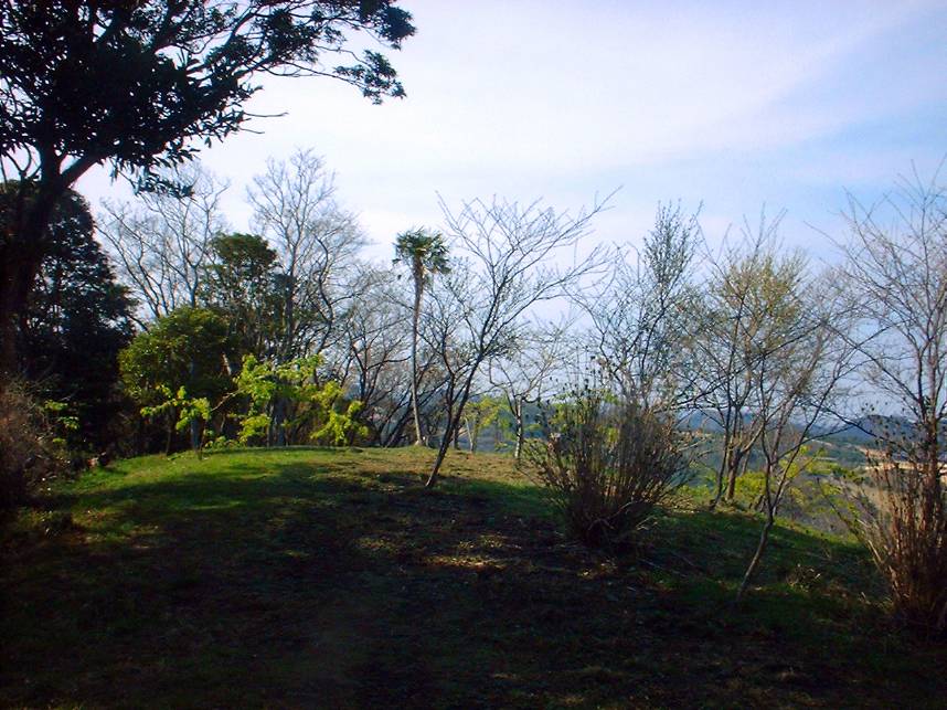
If from the main T-junction at Point D you hang a right you will continue uphill along the edge of the golf course on and often rooty uphill climb. There is one set of stairs that will most likely have you walking up them. Once the trail levels off, you will soon see a hiking trail and steps heading off to the right and uphill. This short trail will take you to peak where you can climb up an observation tower were you can take in some nice views of the entire Miura Peninsula, Sugami Bay, Tokoyo Bay, and Mt Fuji on clear days. If you continue along the main trail it will take you out to fireroad that come up from the west slope. If you turn to the right on the fireroad you will continue uphill for a short distance to a large open area just below the peak. This is great place to take a breather before taking on Trail 3.
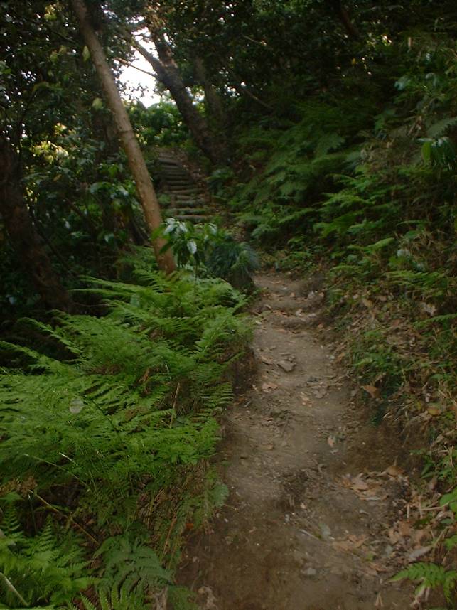
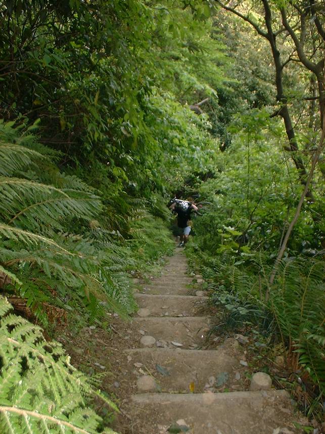
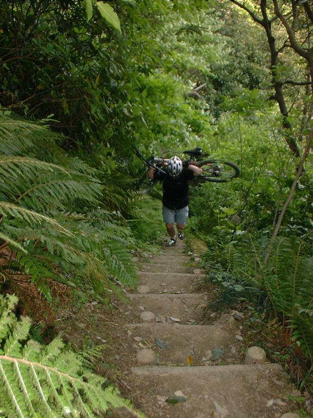
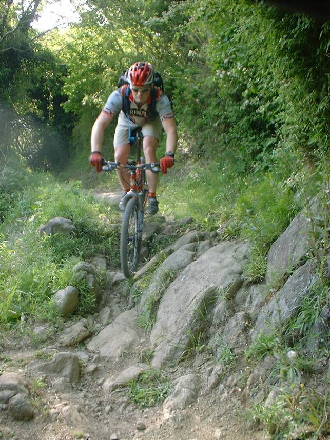
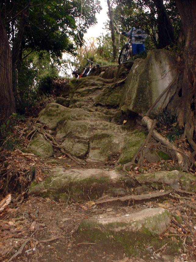
Trail 3 is by far the most demanding of the trails in area. There is about 1 million (said with outstretched pinky at left corner of mouth) stairs along this trail so if you are uncomfortable doing them then hold off on this trail until you can ride some of them on the other trails. The trail drops just under 700 feet in a single mile which makes it pretty steep overall. There are some sections that just beg you to let it all hang out and let it fly. These sections are tempered by sizeable sections that just a twisty mesh of roots as well section
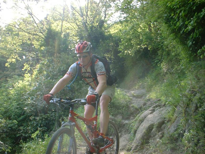
One skill you will certainly learn sooner or later when riding in Japan how to handle roots.
Trail 3 is the most aggressive of the trails with some sizeable drops for that border on black diamond.
 Looking west into Sagami Bay
 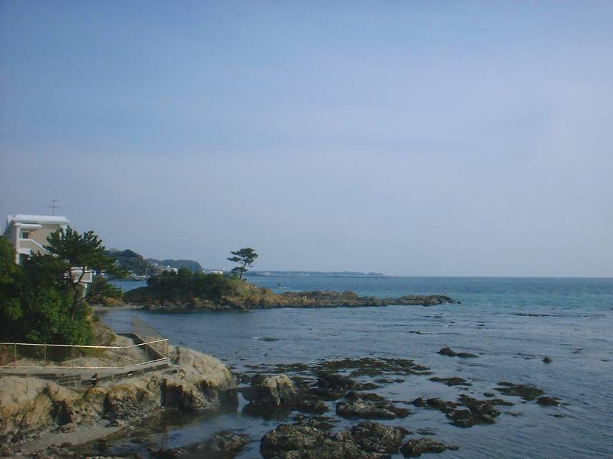 Near Point G on the map at Tateish Park.
 The bottom of trail three comes out along a small river. Turn to your left and follow the small street back to highway 134. From there you can hang a left and go to Ogusuyam Entrance street were you can hang a left and take the fireroad back up to the peak. Trail 3 is pretty much a one-way affair so plan on taking this route.
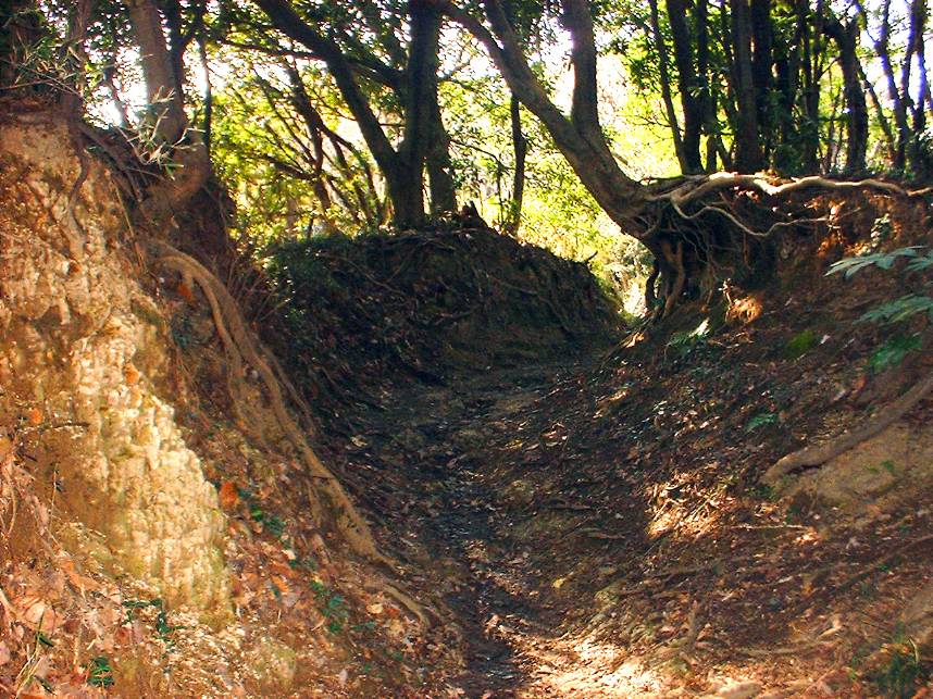
Painful hiking Trail up the peak

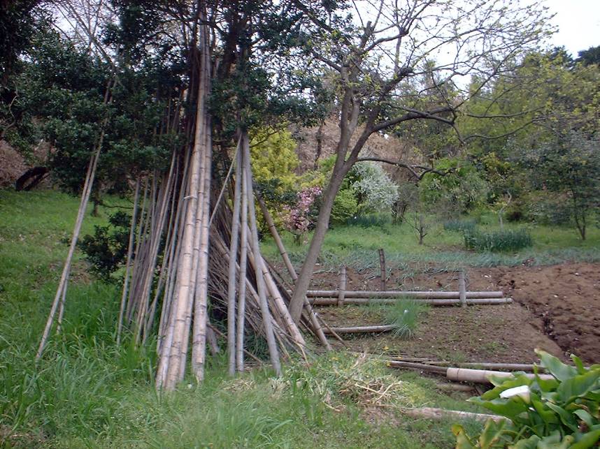
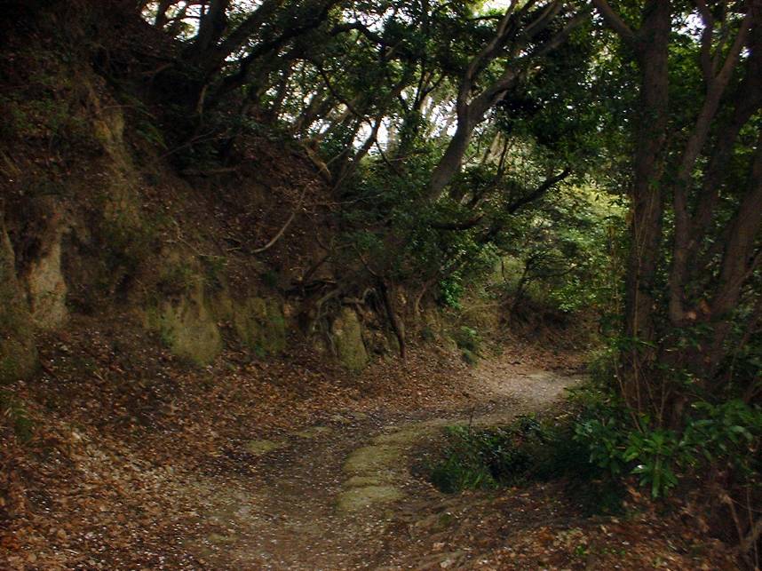
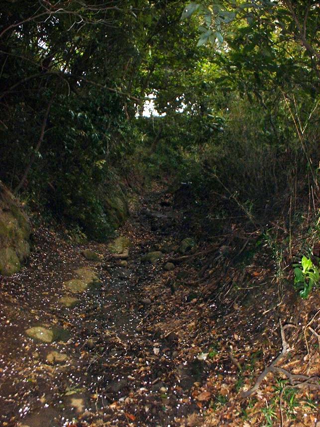
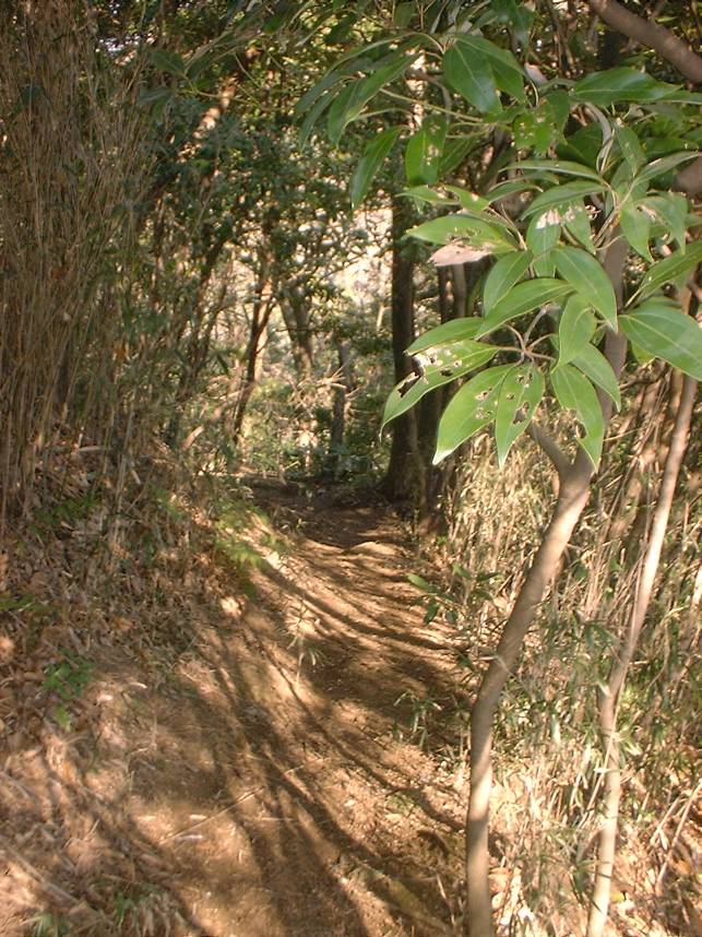
The bottom of the trail is awesome looking with some nice singletrack along a creek bed.
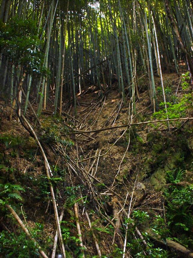
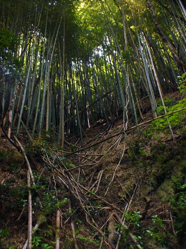
This trail is also at the bottom of a steep walled canyon with huge bamboo along the sides and top of the canyon. All too soon however the trail turns away from the creek bed and points what appears to be nearly straight up. The trail is so steep that you can not push your bike beside you so you are left with carrying your bike.