Hawaii - Oahu - Aiea Loop
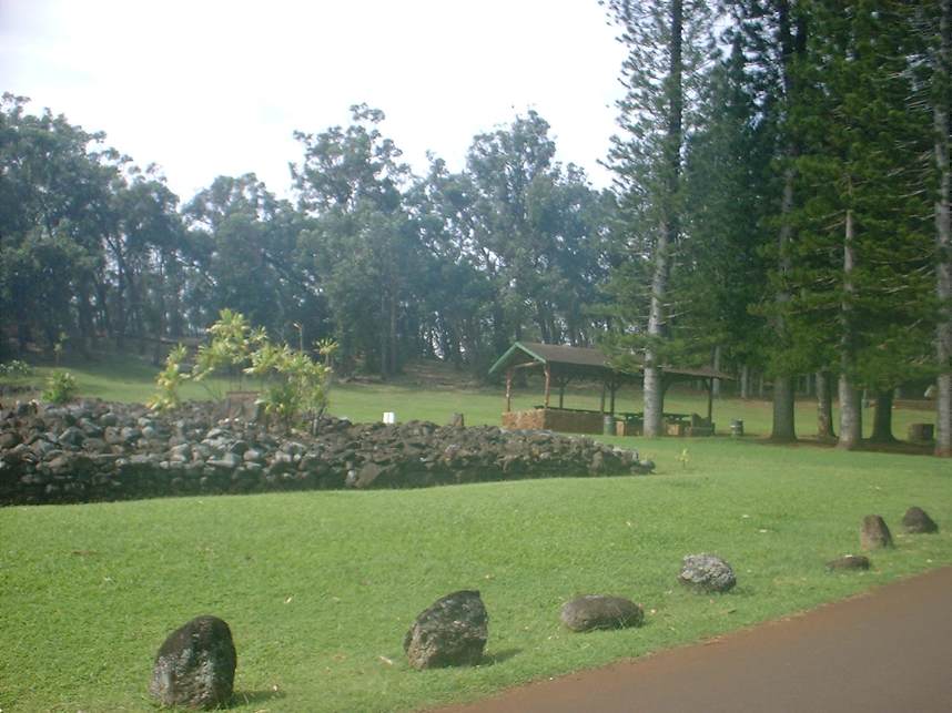
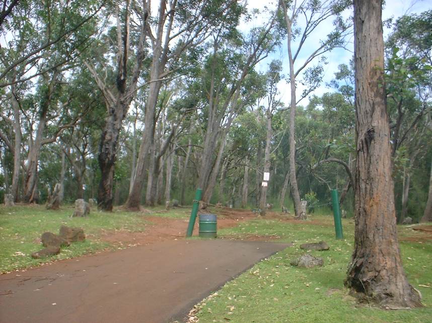
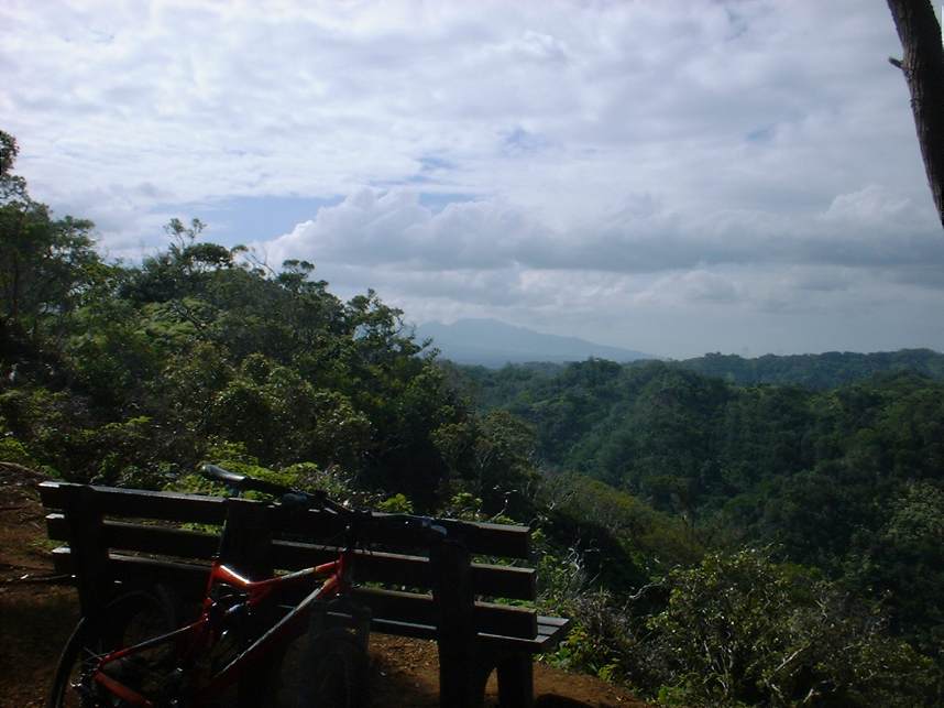
I had the opportunity to take in a little riding in Oahu on a trip to Hawaii in 2004. While this is certainly not an epic ride, it was a nice trail that provided some very different flora than I normally get to see. UPDATE: The Aiea Loop is no longer open for mountain biking . As I understand it there was just too much conflict between the hiker and biking users of the trail. This is still a nice place for a hike. Directions: From Honolulu, take H-1 west and get off at exit 13A. Follow Moanalua road and turn right at the Aiea Shopping Center onto Aiea Heights Drive uphill for a few miles until you pass through the gates of the Kea'iwa Heiau State Recreational Park. |
 |
|
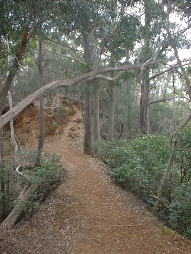 |
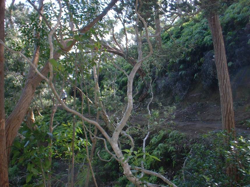
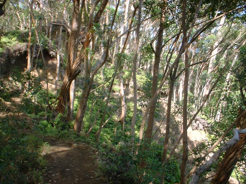
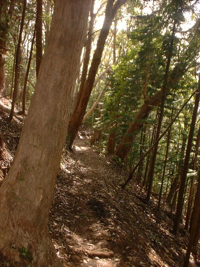
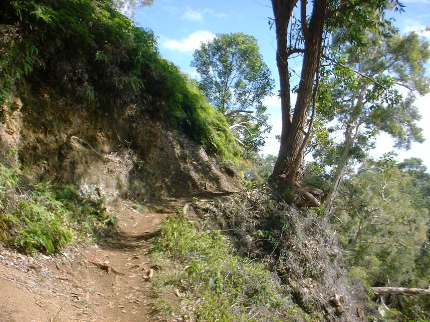
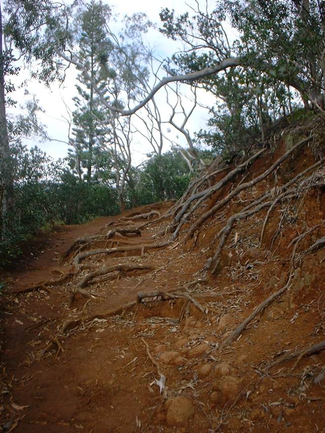
From the parking lot you will see the road split at a Y junction. Take the road to the left uphill for a short ways to a parking area and the upper trailhead. One of the first things you will notice about this trail is there are plenty of roots to contend with. One of your first obstacles to navigate is a small rooted gully. From there you will have a technical uphill comprised of mostly roots. The roots do tame down a bit but they are the predominant technical aspect of the trail. The trail is wonderfully tight and green and you often under the canopy of trees. | 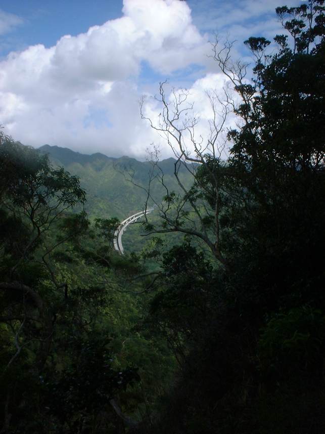 |
     |
||
 |
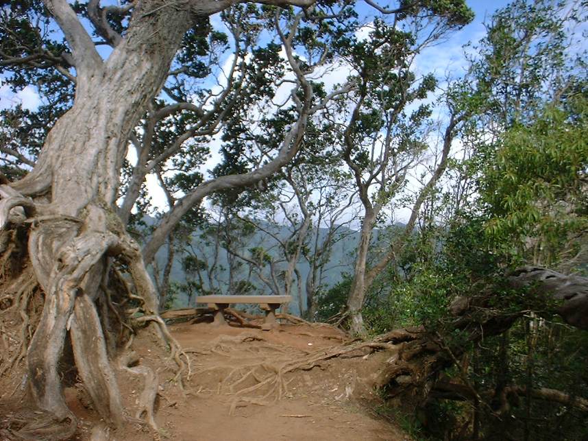
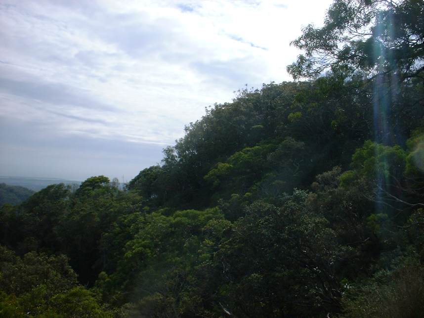
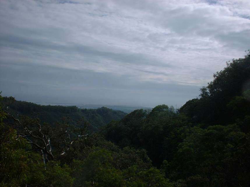
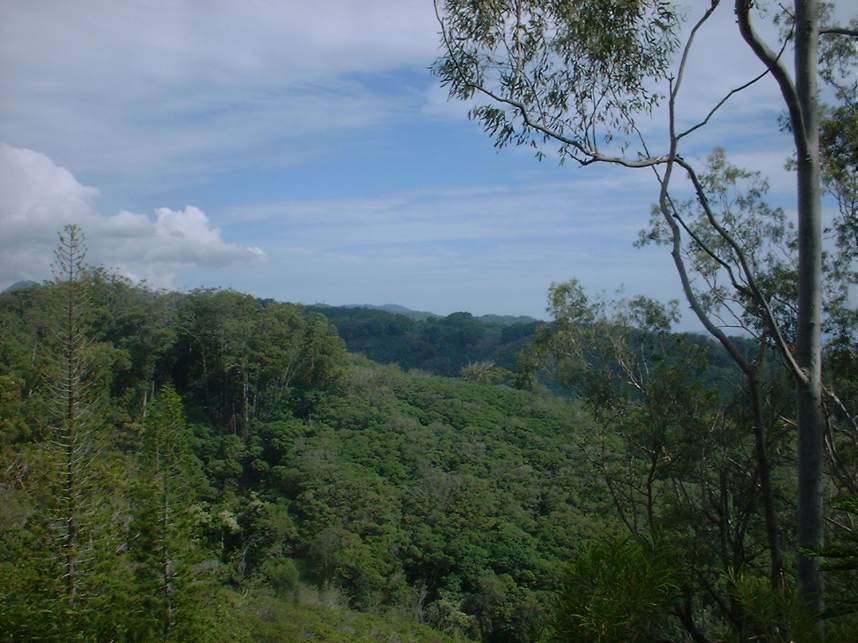
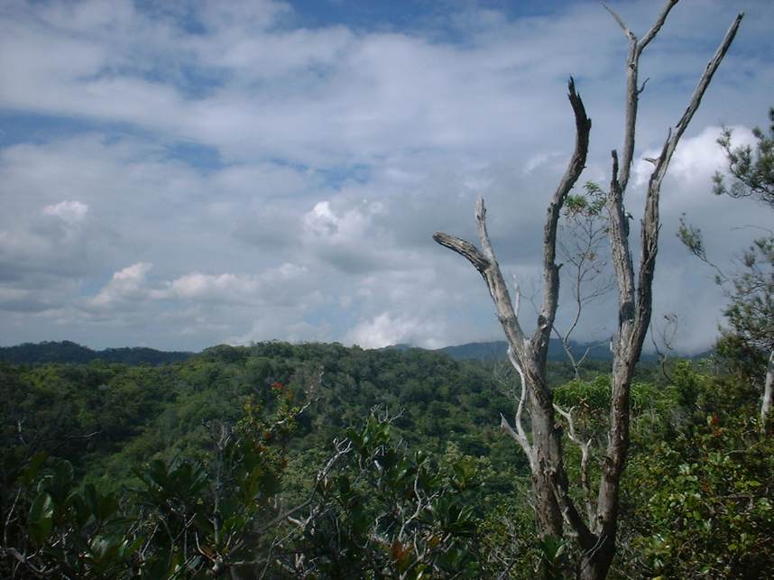
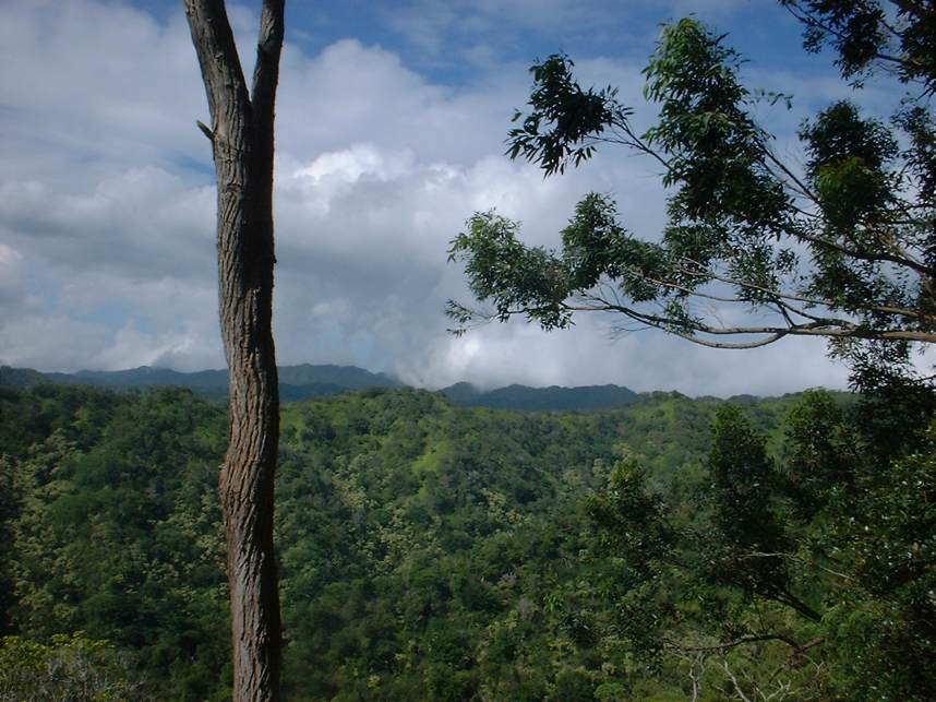
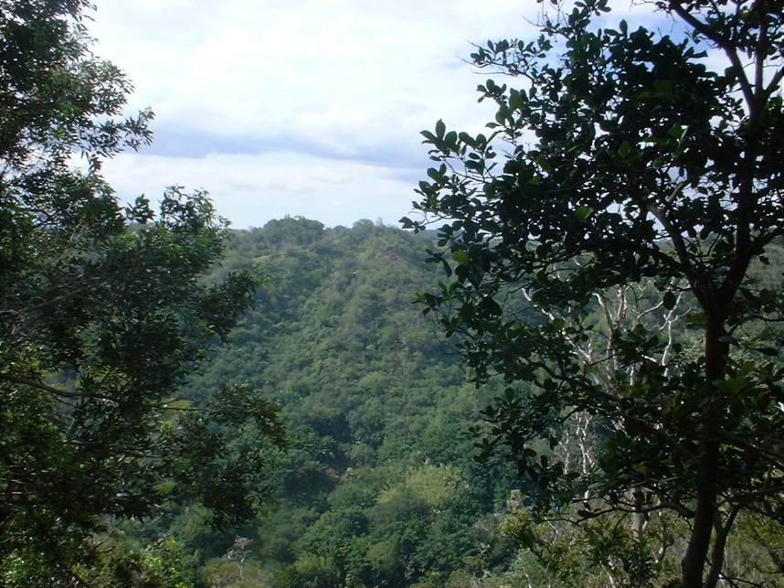
As you continue to climb the ridge, pristine views of the Kalauao Valley to your left and the Ko'olau Mountains to the north and west come into view. There are sections were there are some steep drop offs at the trails edge. Unlike the rocky drops that are typical of Southern California these drops are covered on with thick and somewhat plush looking vegetation. However I am sure you could still get yourself good and hurt if you took a tumble. You will continue zigzagging up the ridge and at 1.6 miles you reach the highpoint of the trail. At this point there is a foot trail going off to your left. A short walk will bring you to viewpoint of the Halawa Valley were the H-3 highway tunnel goes through the mountain to connect the windward and the leeward sides of the island. From here the trail turns downhill. | 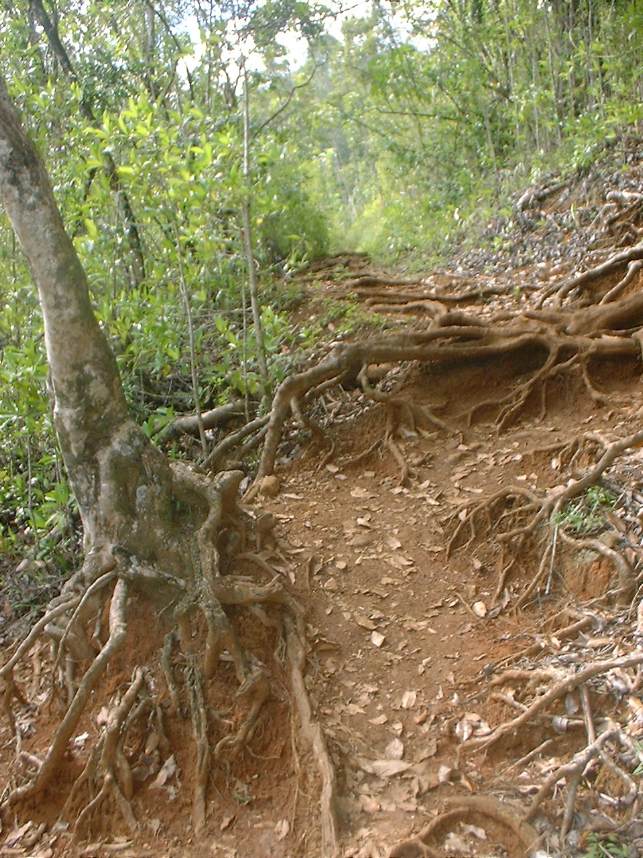 |
 |
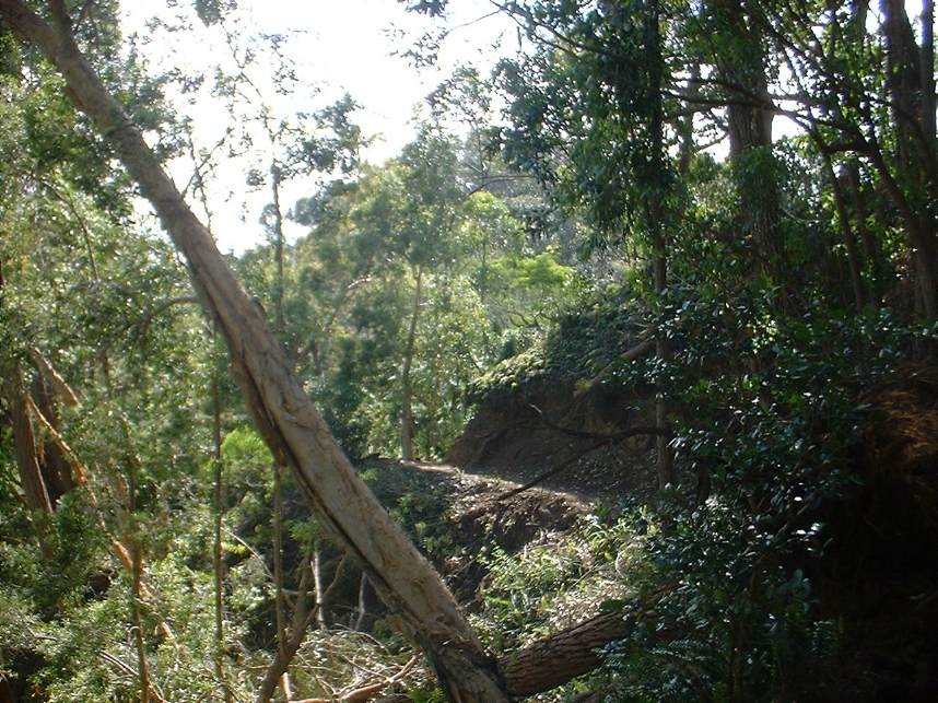
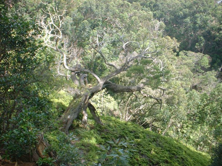
I rode this trail a week after a severe storm and there were around half a dozen trees that were fallen over the trail which made for a quite a few dismounts and scrambles to get aroundthem. The downhill is quite a blast requiring the use of some good balance skills. At around the 4 mile make you will come to split in the trail. Go to your right and continue downhill. You will soon cross a stream where the trail turns slightly uphill again. There are a couple of tricky switchbacks before the trail brings you out at the park. Ride across the grass back up to the pavement. Once on the pavement go downhill back to the park entrance. | 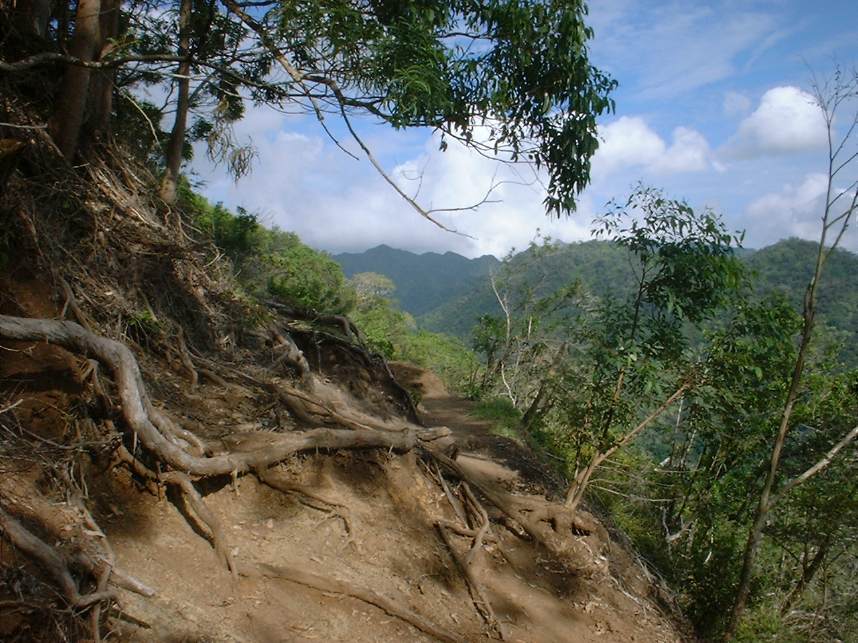 |
Additional pictures of the ride
|
||
VIDEO
Here is a video of the Aiea Loop Trail 24MB |
||