
Calvera Lake
Calvera Lake has a lot trails in a fairly constrained bit of acreage but there are still plenty of trails to get out and about on. It is located in the general area where Carlsbad, Vista, and Oceanside converge. There is a decades long history of recreational use in this area but the surrounding area has seen a lot of development since about 2004. The additional public pressure combined with the shrinking open space has made land use of the Calvera Lake area "interesting". You will have a hard time getting any sizable mileage out here without crossing over into the lands mismanaged by the Calfornia Department of Fencing in Wildlife (CDFW).
Short Loop - Perfectly Legal (5 mi, 450'▲ ):
Lets see if I can get a ticket tour: (17.3 mi, 3,100'▲ )
Hazards: The trails range from beginner to what I would consider advanced. With the overwhelming majority of them low intermediate. There is poison oak in a few spots and like most of San Diego, there is plenty of rattlesnake habitat to go around.
- Oak Riparian Park: This is the primary trailhead I would use.

- Church Parking Lot:If you are doing the "Red" Zone
- Sky Haven Lane: Residental street. Be good neighbors. This is the primary trailhead if you are going to do the stuff immediately around the lake.
- Cannon Road: Spots along side of Road. Good for the "Red" Zone or Back 40
- There are four preserves that cover this riding area with two different managers.
- Lake Calvera Preserve --- Landowner: City of Carlsbad; Manager: Center for Natural Land Management
- Calvera Heights Preserve --- Landowner: CA Dept of Fish and Wildlife: Manager: CA Dept of Fish and Wildlife
- Carlsbads Highlands Ecological Reserve --- Landowner: CA Dept of Fish and Game Manager: CA Dept of Fish and Wildlife
- Robertson Ranch Reserve --- Landowner: Calvera Hills II, LLC; Manager: Center for Natural Land Management
Additionally there is private property/open space to the south of the Carlsbad Highland Ecological Reserve colloquial known as the "Back 40".
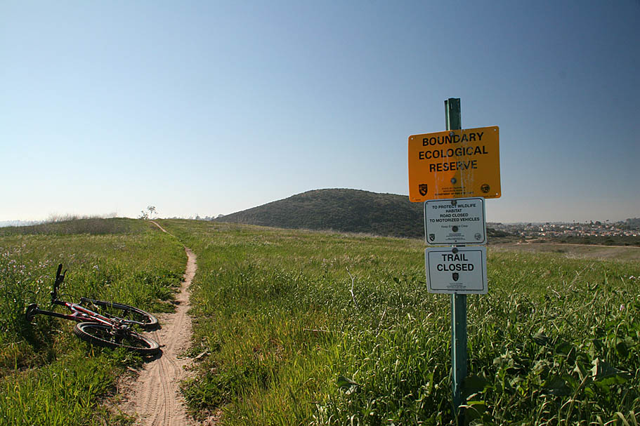
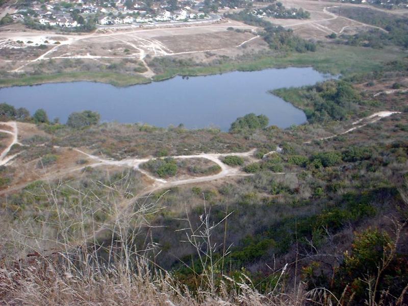
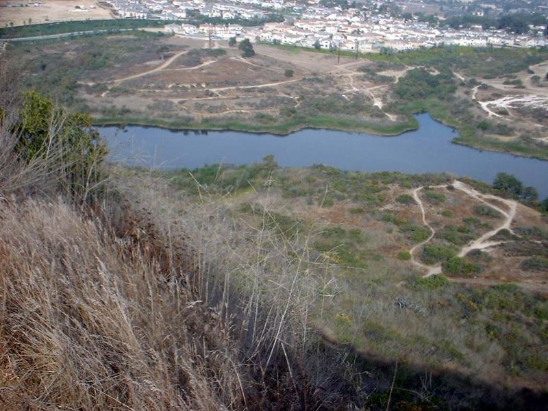
There are also habitat management plans and other competing enviromental interests who would like to myopically look at this area as simply a habitat restoration/preservation project and keep the hands and feet of man away from this area. Given its long history of use I do not see how the typical approach of fencing people out is going to work at all. All you have to do is stand atop Calvera Hill and see that this patch of land is surrounded by over 100,000 people and realize that no fortress of fences are going to keep the public out of here. This entire area needs to migrate to a recreational preserve if it is going to have any reasonable chance of being successfully managed.
The City of Carlsbad are doing an okay job with tackling the problem for their chunk of the area in the north (highlighted slightly yellow). The master trails plan for the chunk of the area that is under their control has had solid input from the community and keeps much of the quality trails open while closing off much of the poor quality and unsustainable trails and fireroads. There will still be numerous problems to deal with particularly with public access points.
The CA Dept of Fish and Wildlife (CDFW) has a long and tough road ahead of them. The department's default starting position is that biking is not allowed on the lands they manage. Despite the decades long history of multi-use in the Calvera Lake area, the department maintained that position when they took over ownership/management of this area. It is a position that simply will not allow for the successful management of this area. The public simply has not accepted (and will not) that position. Humans are a species too and the trail using sub-species of this area are not going to migrate to another area. The median home price in this area is getting close to $900K and you can bet the availability of open space usage was part of the selling points. There is an expectation of access to open space from the surrounding community that will not be denied. The only chance CDFW has of successfully managing this area is if they take a more holistic approach to managing the area and work with the community to create a trail network plan that will met the needs of the trail using community.
I have been urged to take down the orginal page or put up a vanilla style page that only showed only the offical Carlsbad trails plan. The historical usage does not mesh up with the desires of some people and they feel I'm encouraging illegal trail riding. Knowledge is knowledge and whatever actions you take based on that knowledge is soley your responsbility. The orginal maps will remain on this site and I have added a Google Earth KML file that shows most of the historical and newer trails that exist in this area. There are more trails than the ones I have shown. There is a lot at stake and if the current trail users simply "go away" is not going to help keep access to this area. The maps on this page are a snap shot in time and must be assumed to be historical in nature. When you ride at Calvera and criss-cross the various preserves and reserves, pay attention to the signage. Things change out here all the time. I also highly recommend you get involved with some of the advocacy organizations who represent the interest of mountain bikers as well as the other non-motorized trail users. The San Diego Mountain Biking Association is a good start. Also take a look at the Calavera Trails Coalition and thier facebook group.
Trail Notes:I am going to break from my normal routine of telling you an exact route to go, instead you should go out and investigate this area for yourself and get to know what is really at stake. I have two routes linked above. A tiny perfectly legal route and then a meandering route throughout the whole area that could end up getting you a ticket. There are always new "social" trails being created and I'm not going to try and keep up with them here. Your best bet is to go out and explore the place a time or two (or five). Quite frankly there is too much rouge trail building going on out here. Why? There are not enough trails in North County and CDFW are defunct land managers. There are no innocent victims in this story, MTBers are building too much and the CDFW can not be bothered with trying to manage this land. They even outsourced the enforcement to the Carlsbad Police. The best thing that could happen to this area is that the property should be set up as a recreational preserve managed by some other agency than CDFW. I have other strong feeling about the buffonary show that is Lake Calavera but I save that for a chat over beer or bourbon.
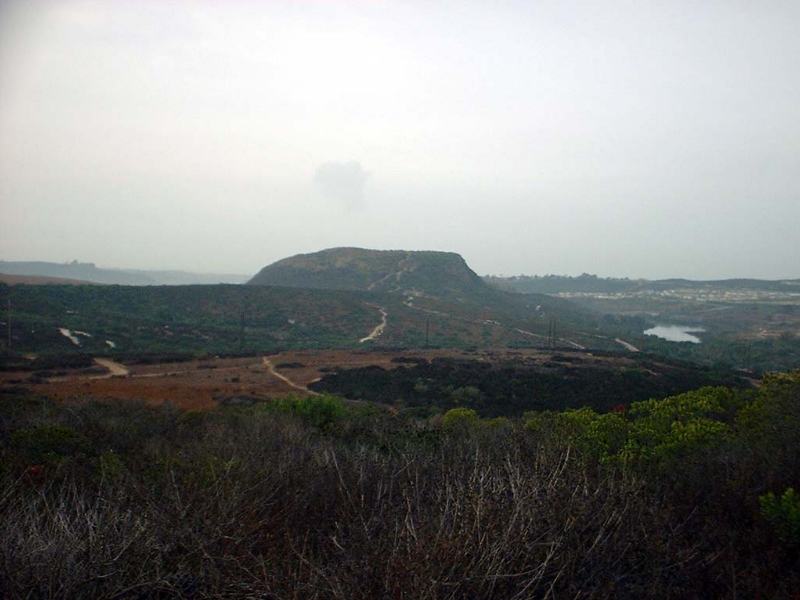
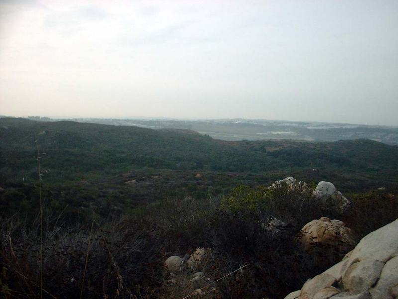
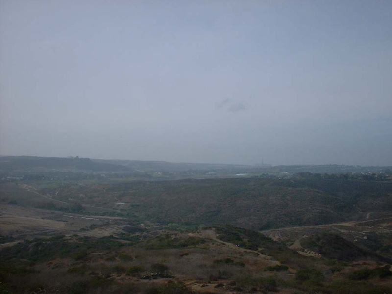
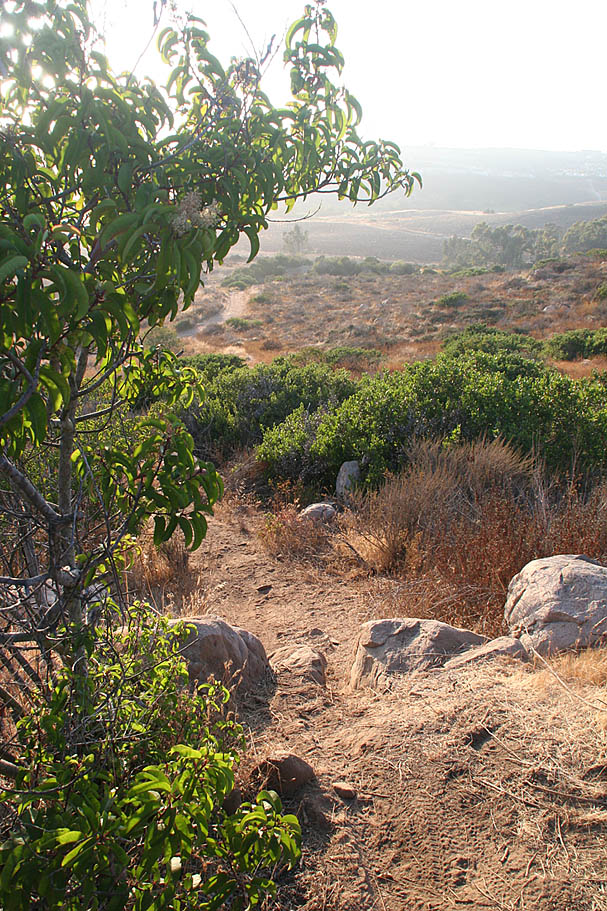
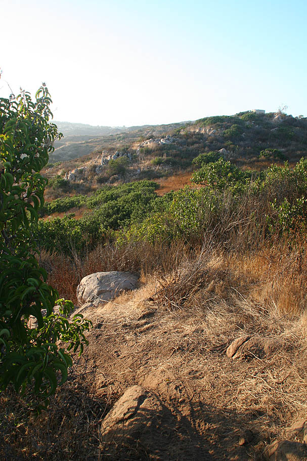
Some views from around the North East portion of the Calvera area
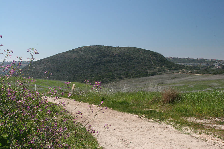
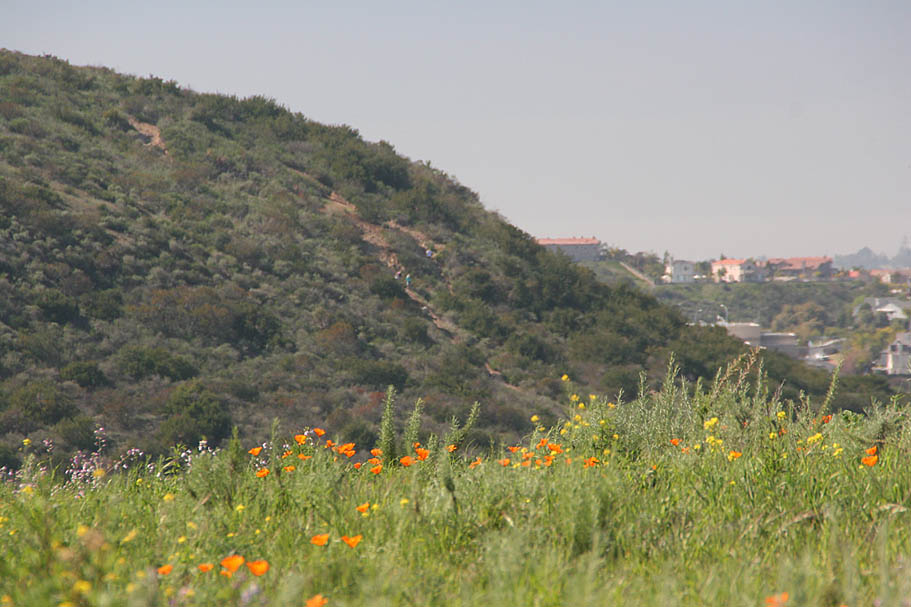

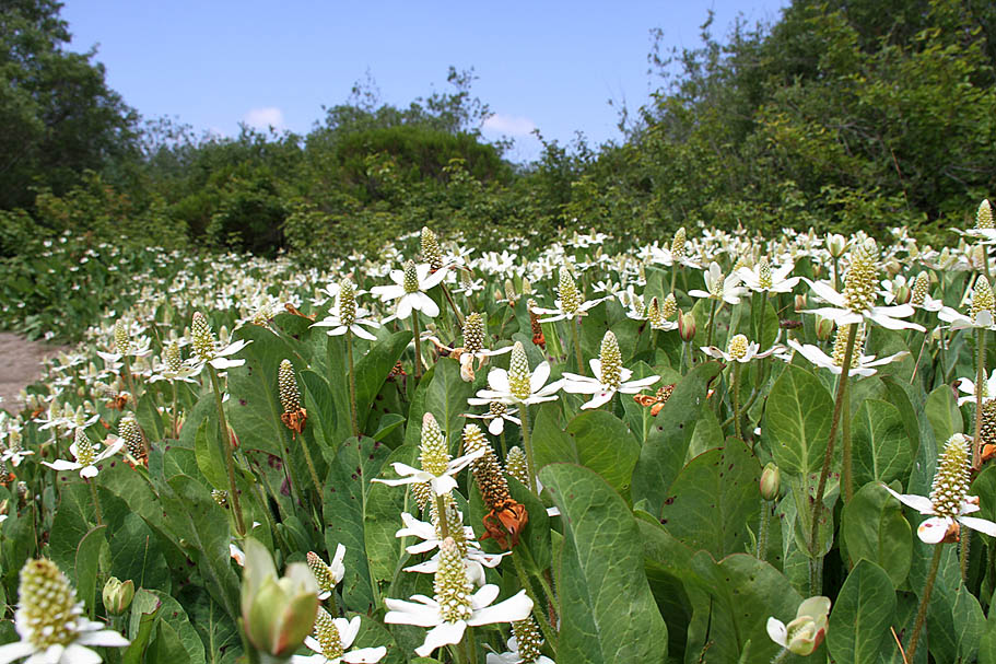
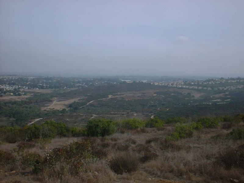
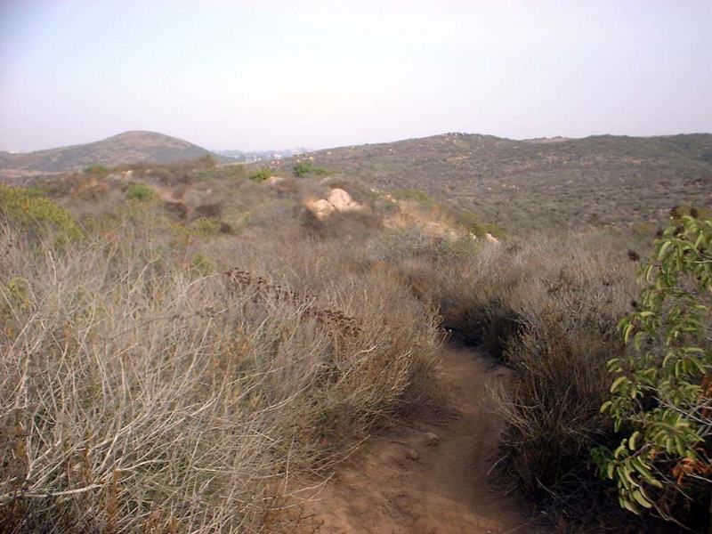
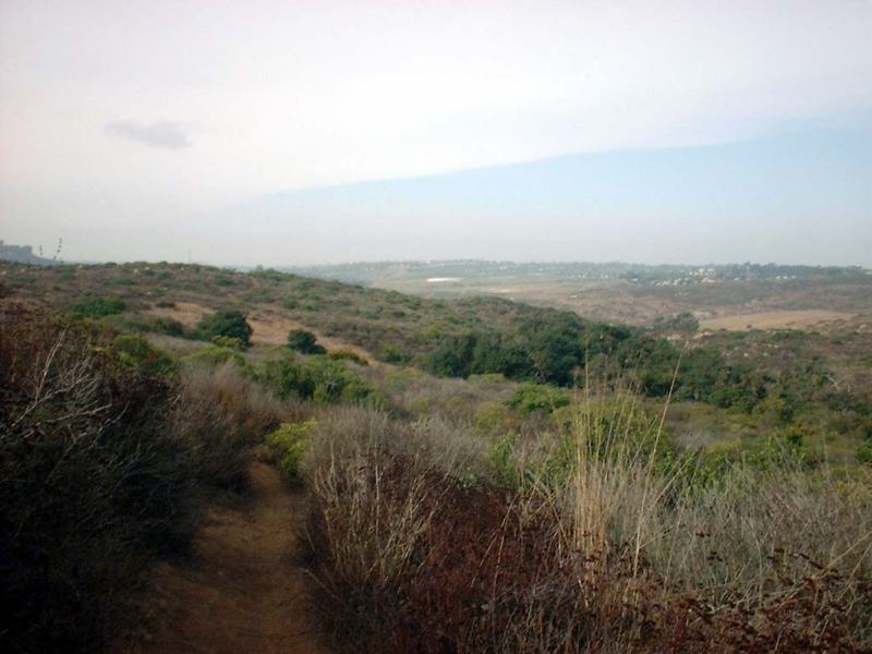
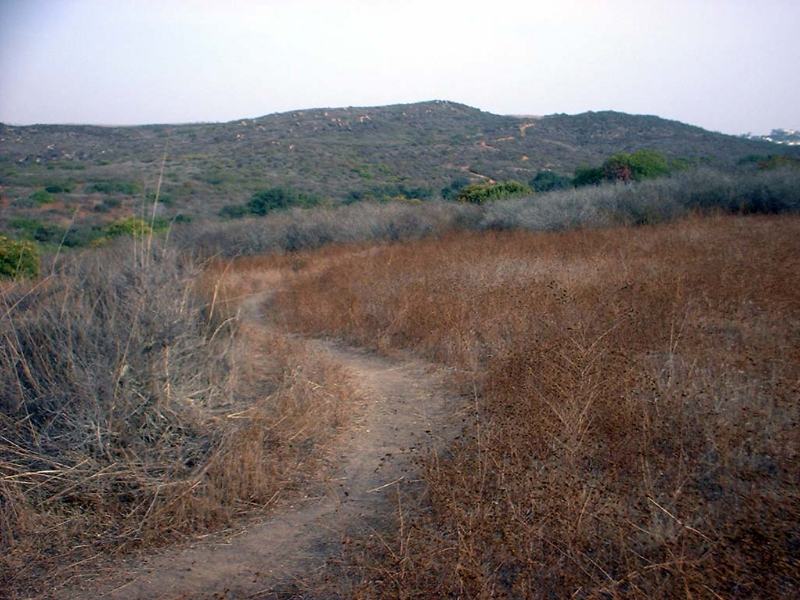
Some views from the middle and grasslands section of this area
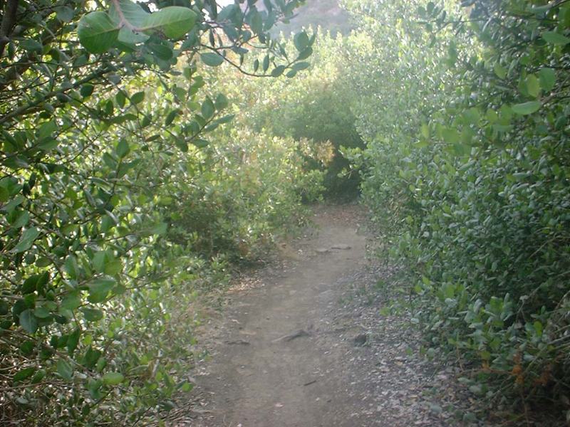
Take a look at some of the trails on the eastern area of the park in city of Carlsbad's area. Most of these trails were old moto trails that are now closed.
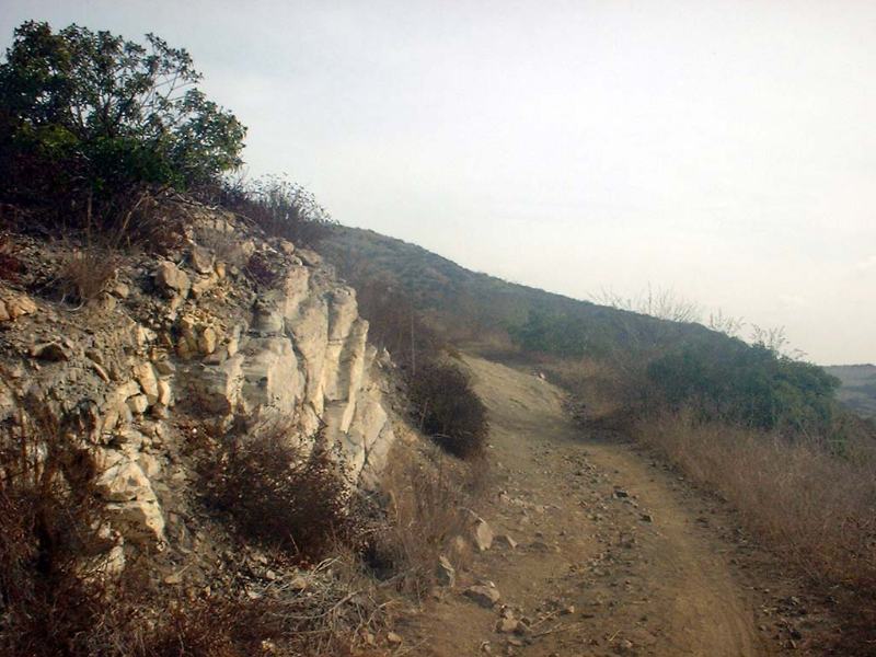

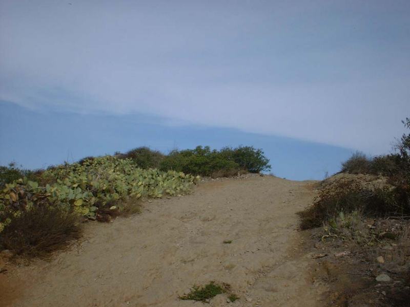
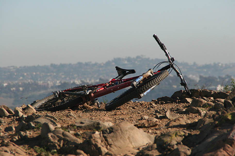
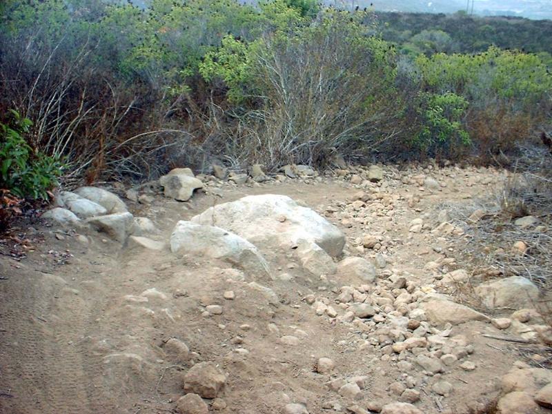
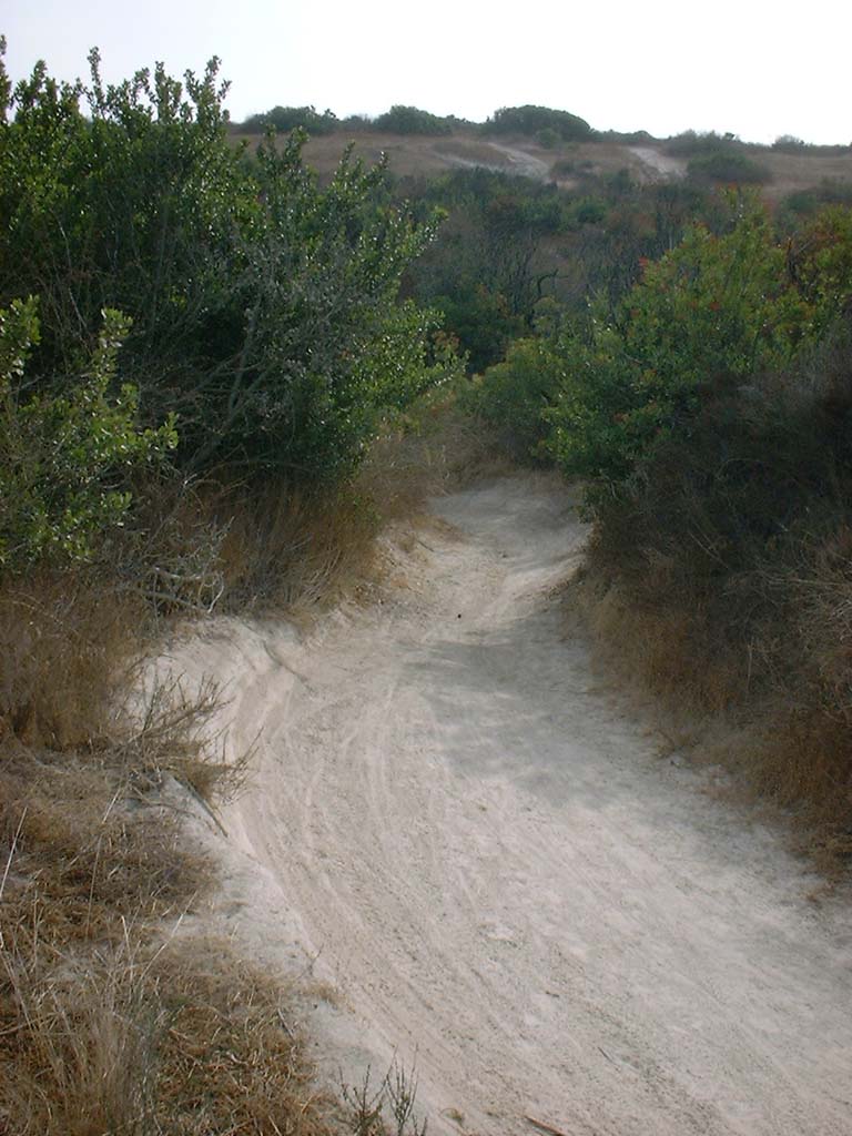
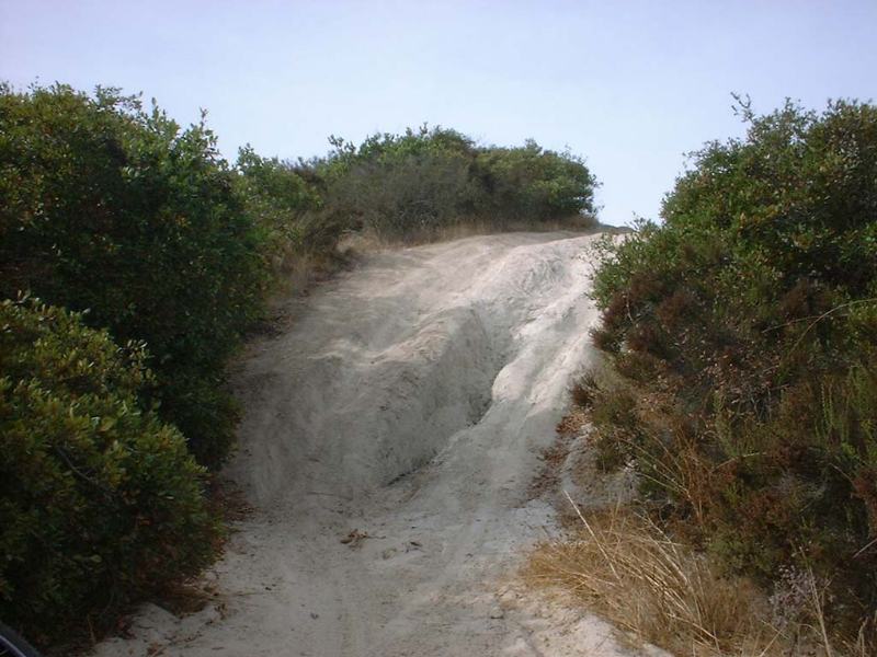
Here are some picture on the trail up to the top of the big hill. The trail used to be mostly a technical rocky climb, but since the population in this are has risen a lot people have made lots of go arounds for the technical bits so they trail is much wider now. The rocky lines are still there but they are not the predominate lines.
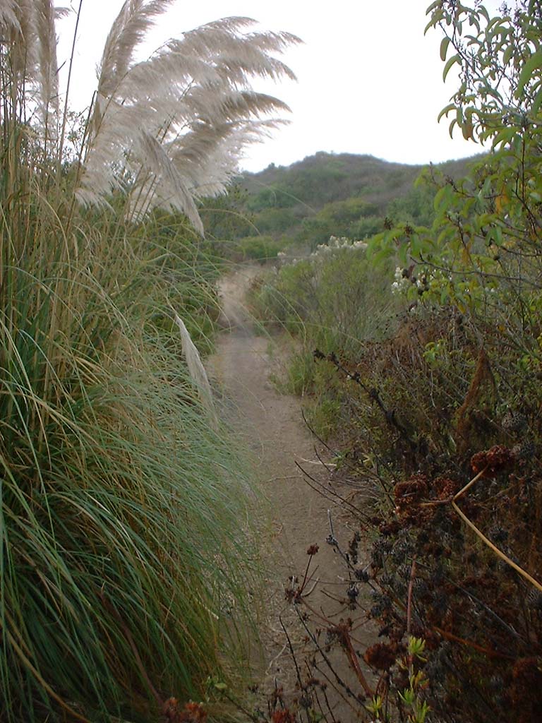
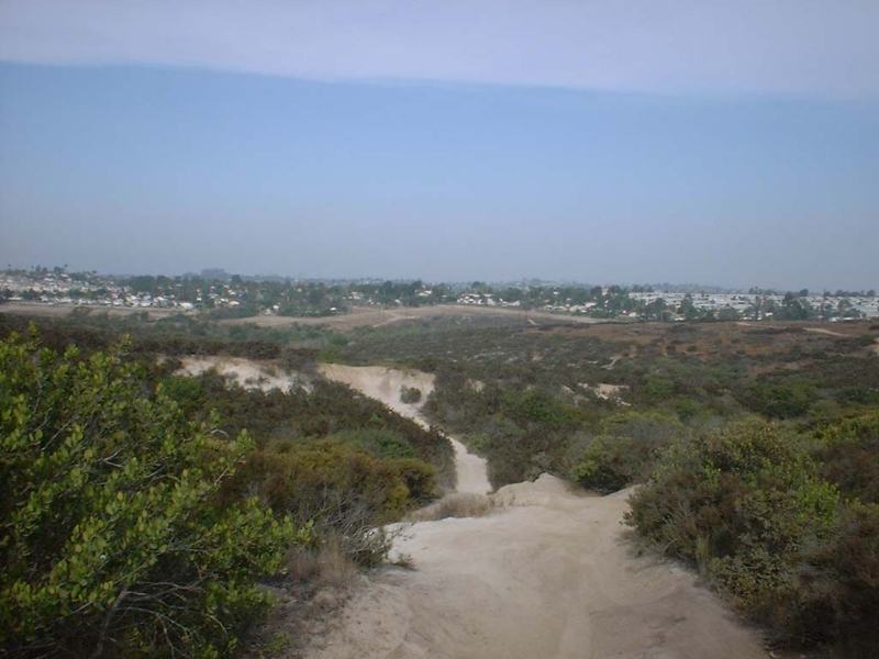
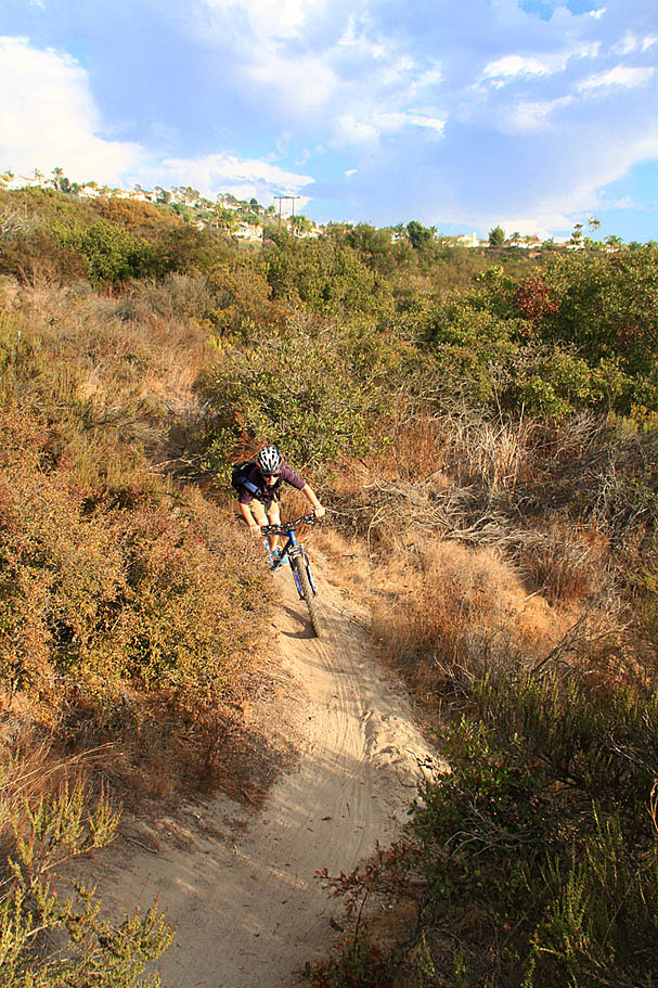
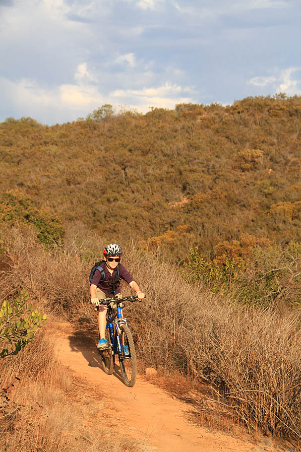
Here are some pictures of some fun single track at the south end of the area, aka "The Back 40".
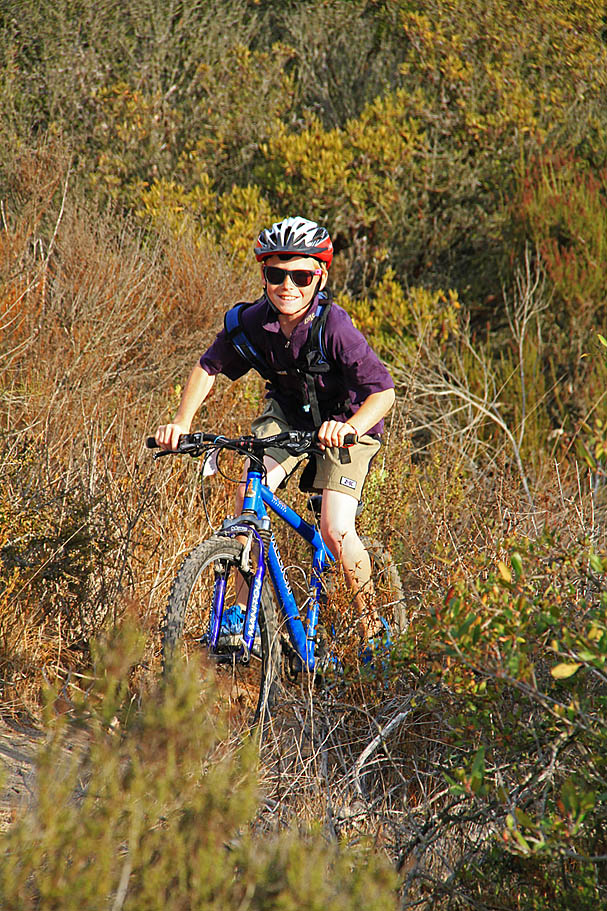
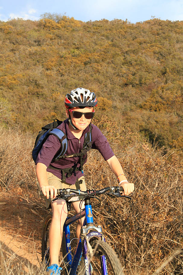
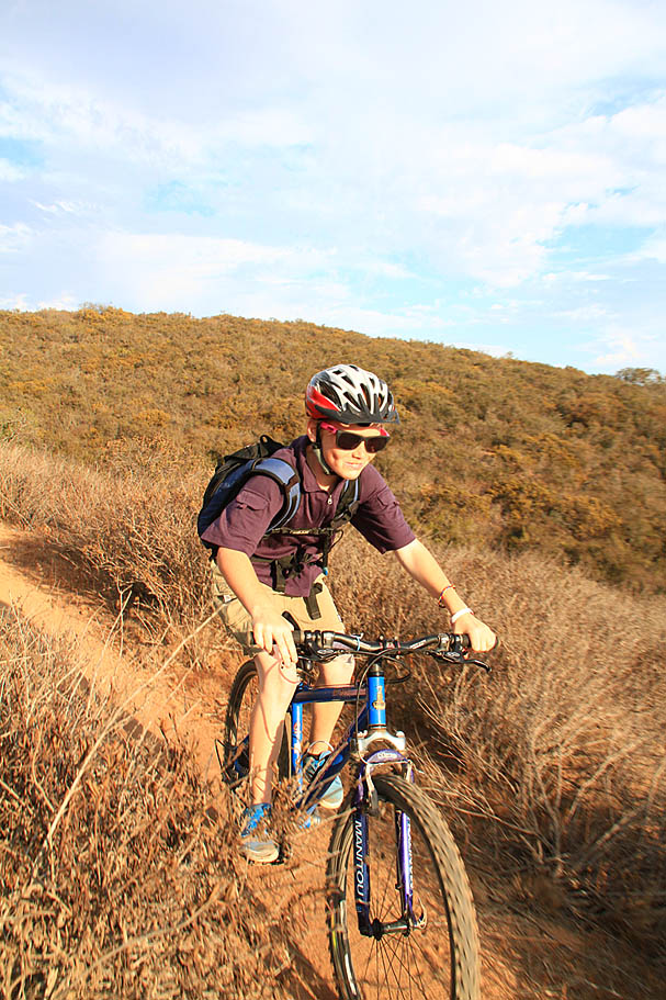
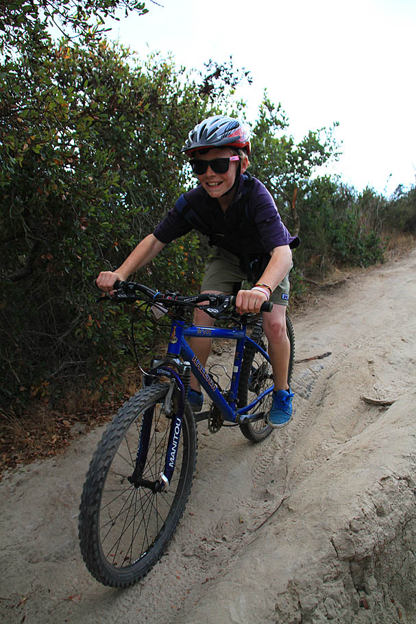
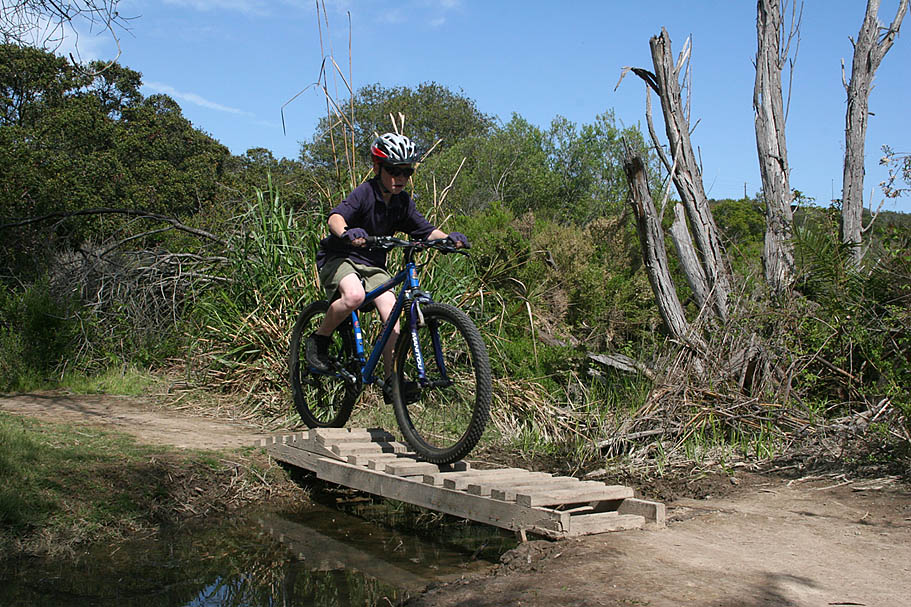
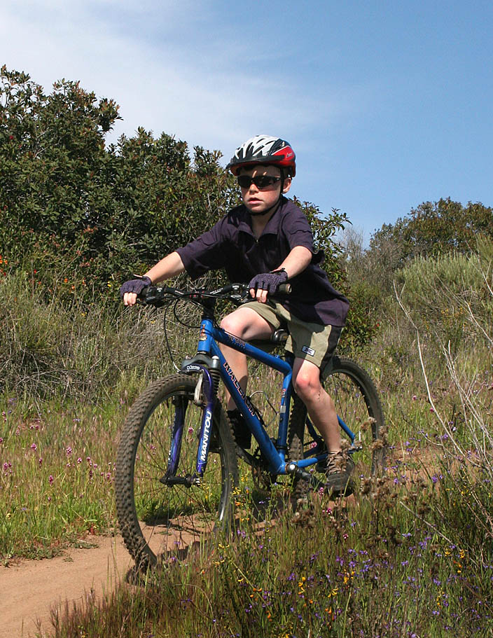
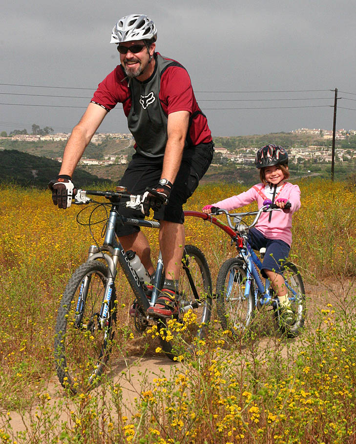
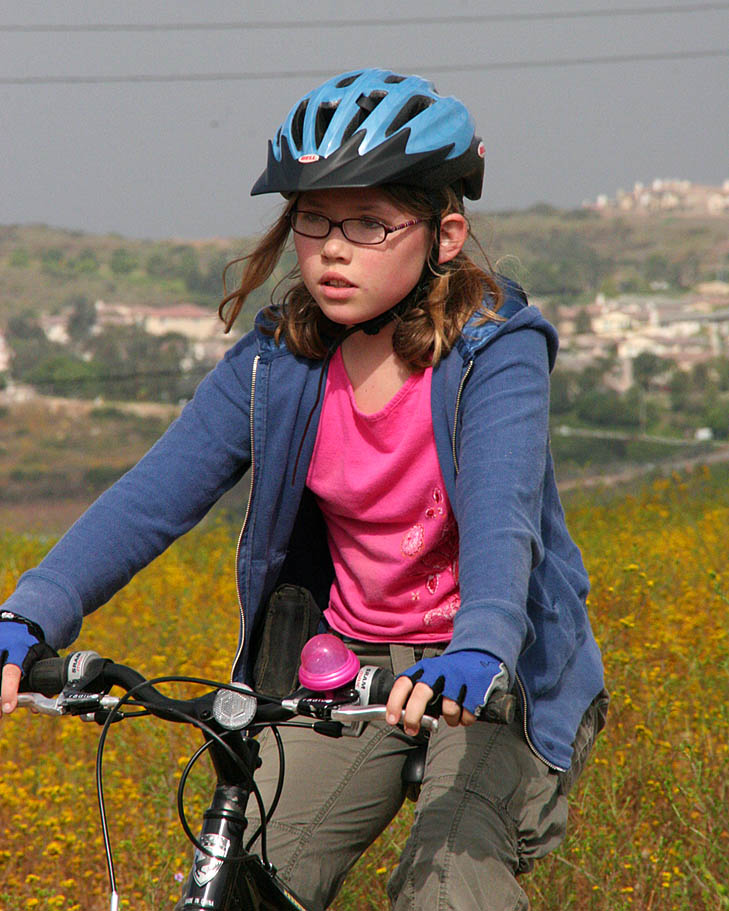
"Quality Time" with my youngest son
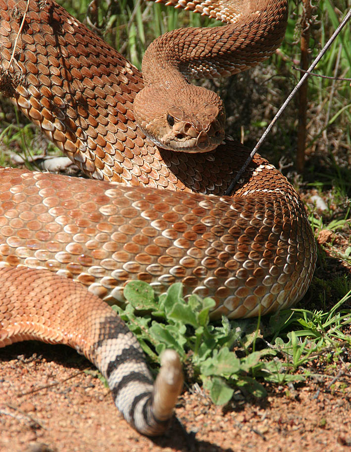
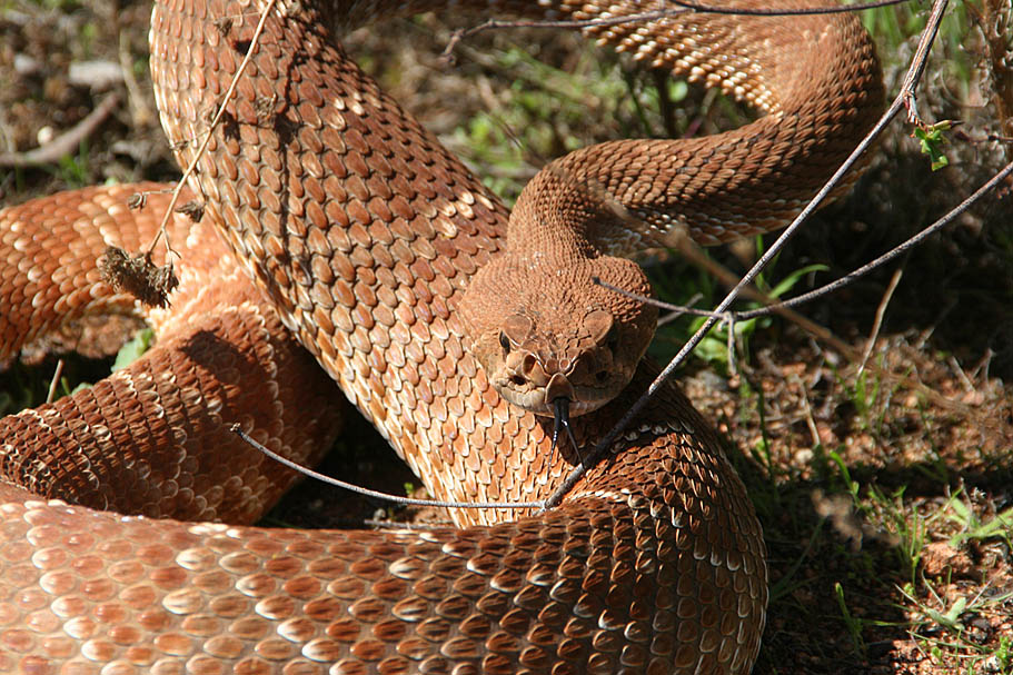
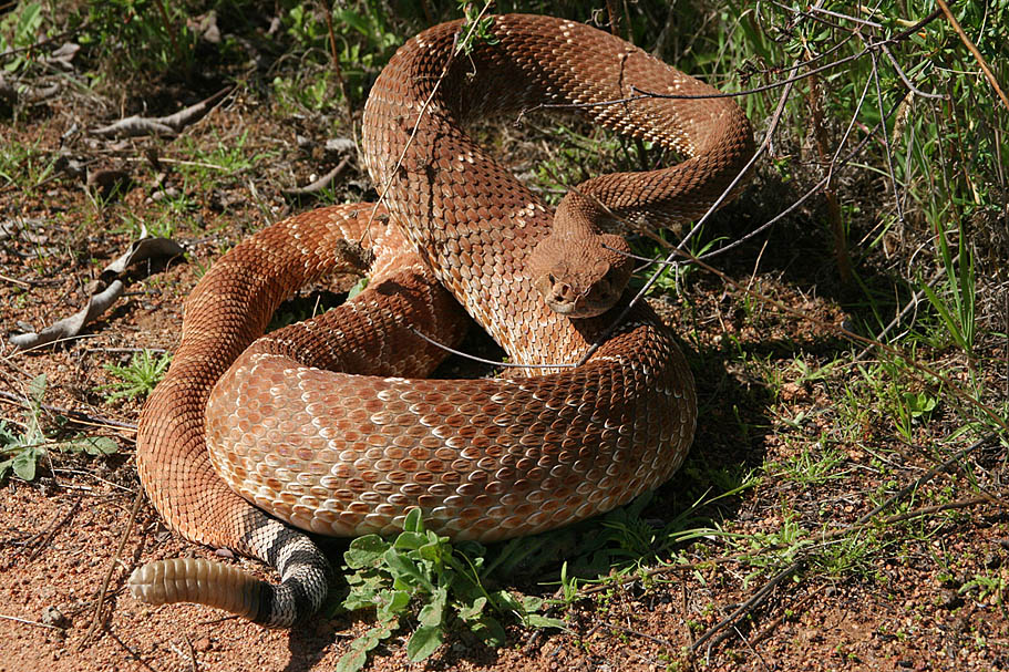
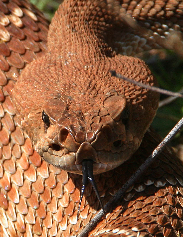
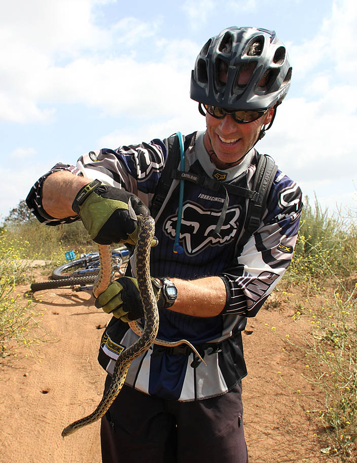
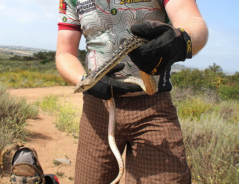
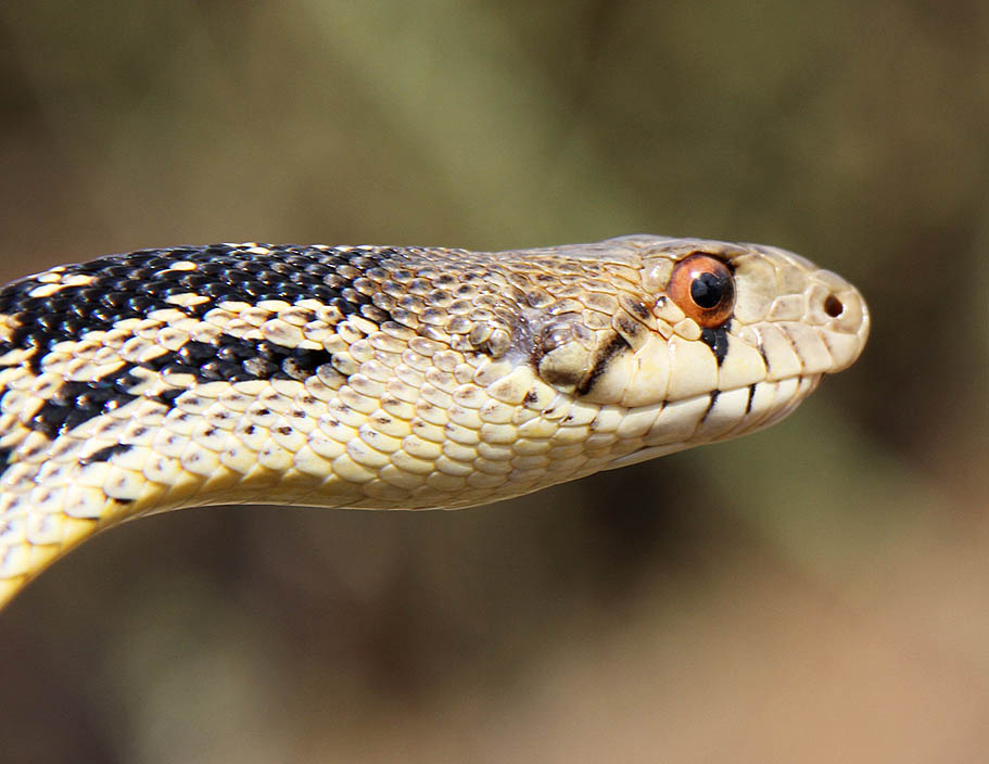
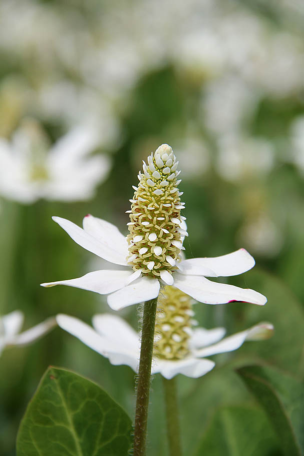
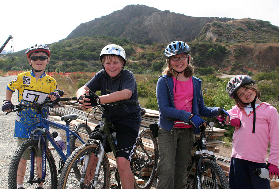
Upclose with some of the locals

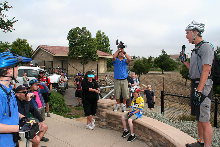
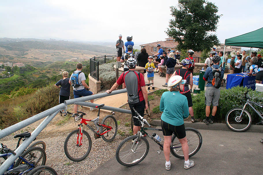

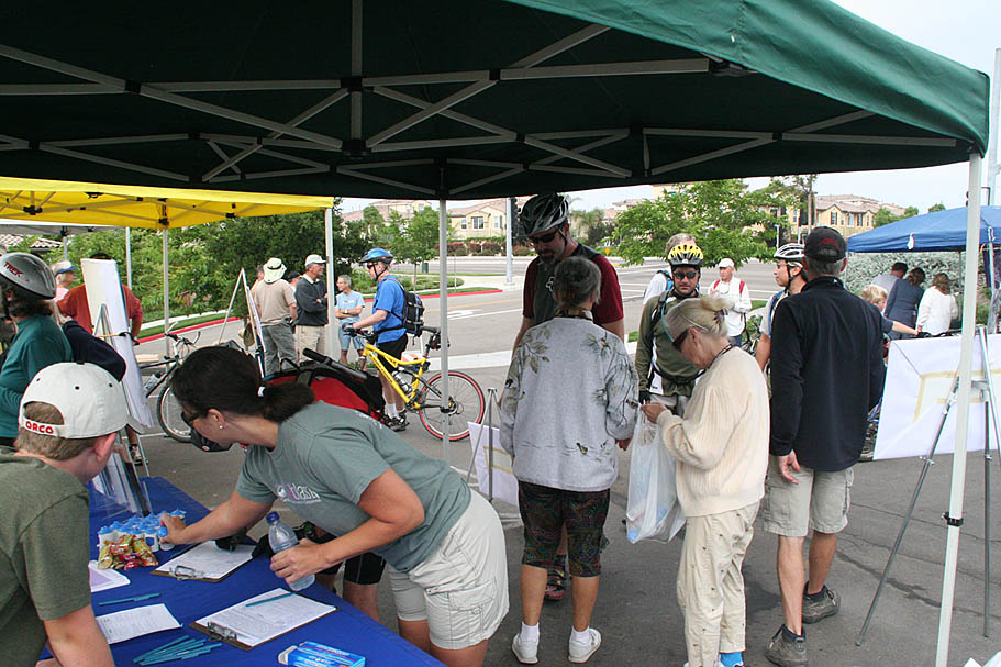
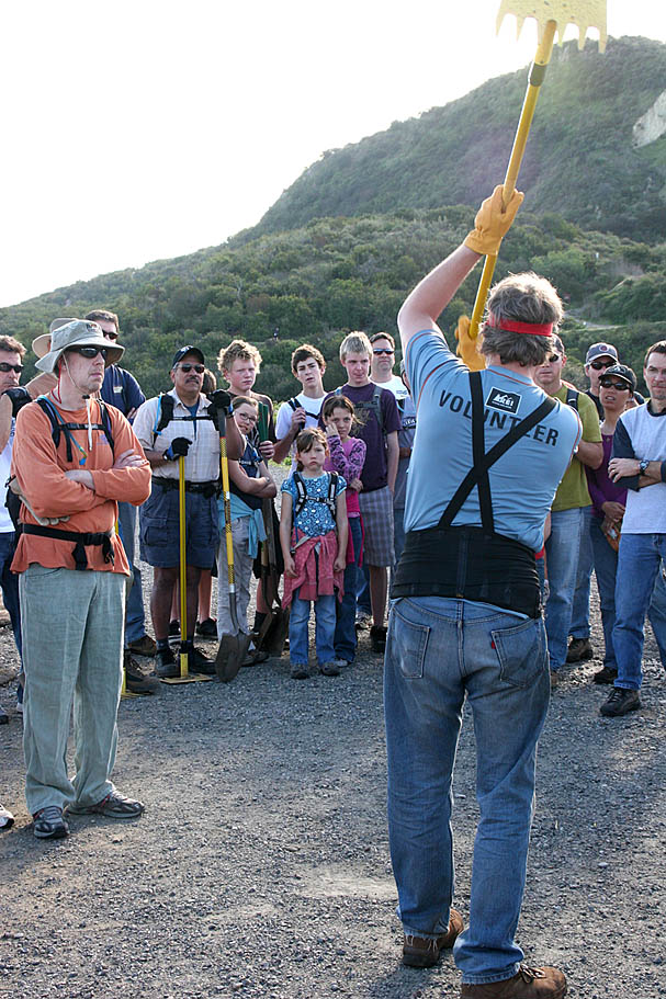
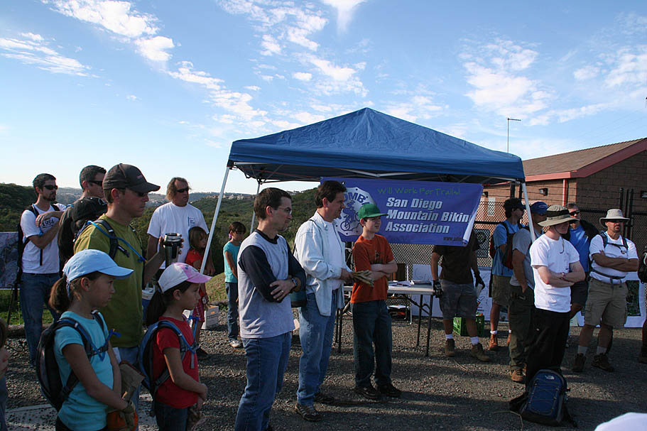
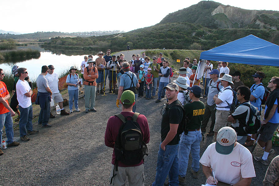
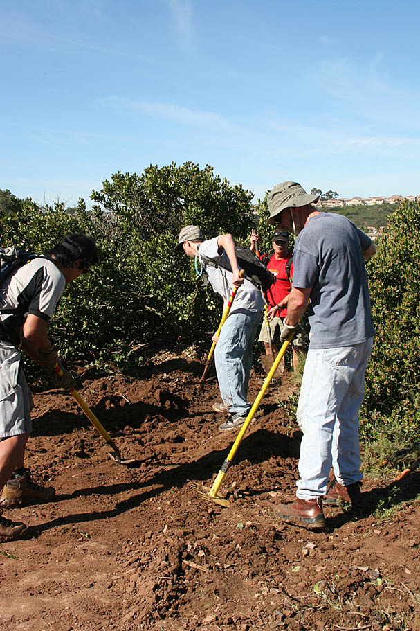
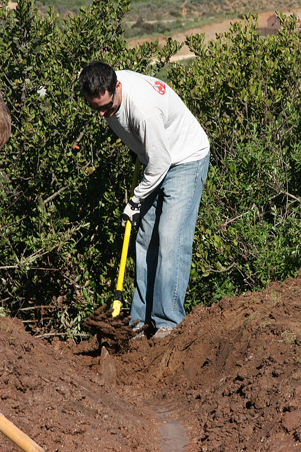
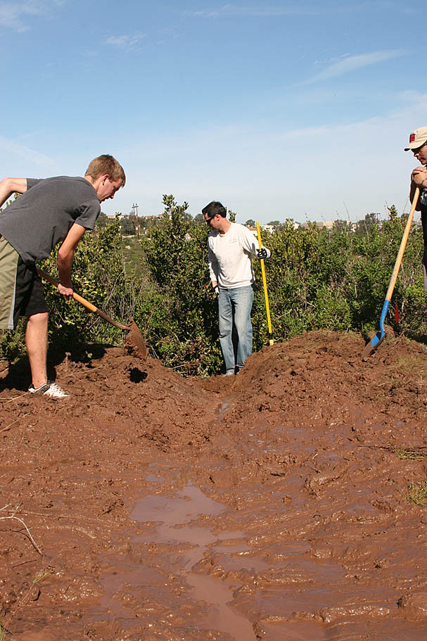
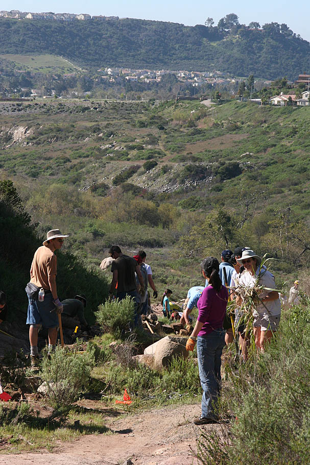
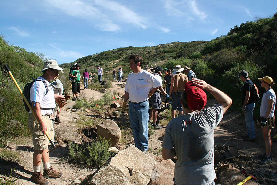
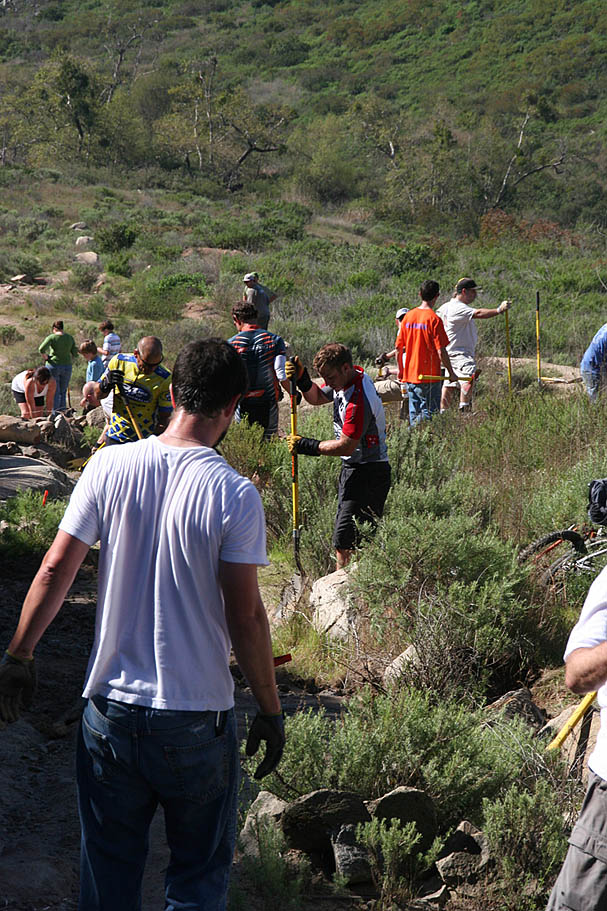
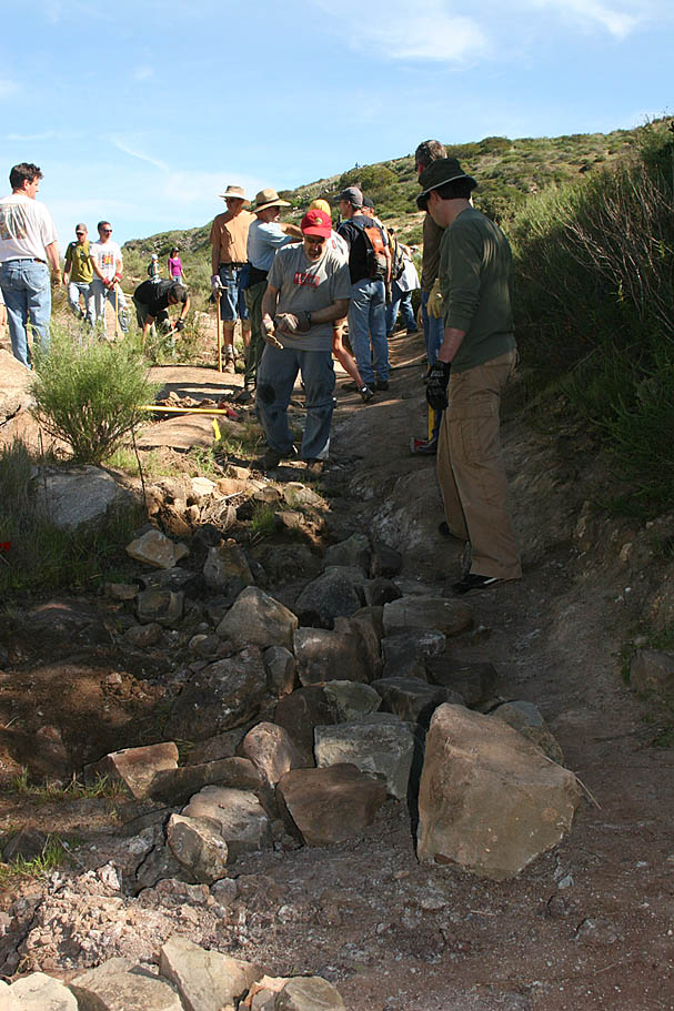
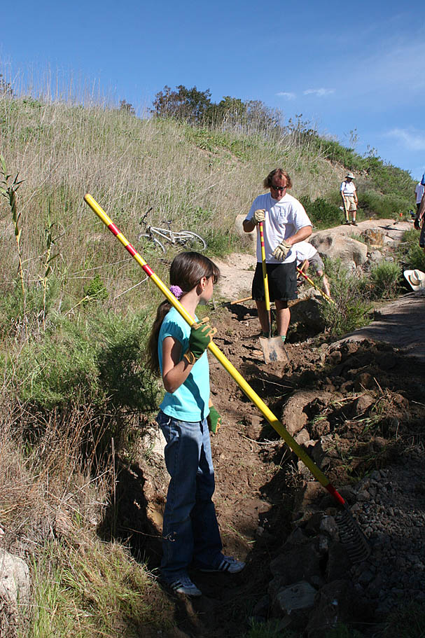
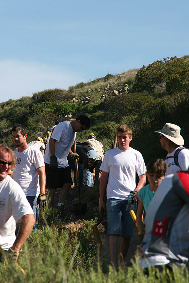
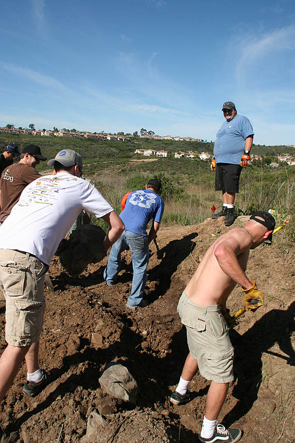
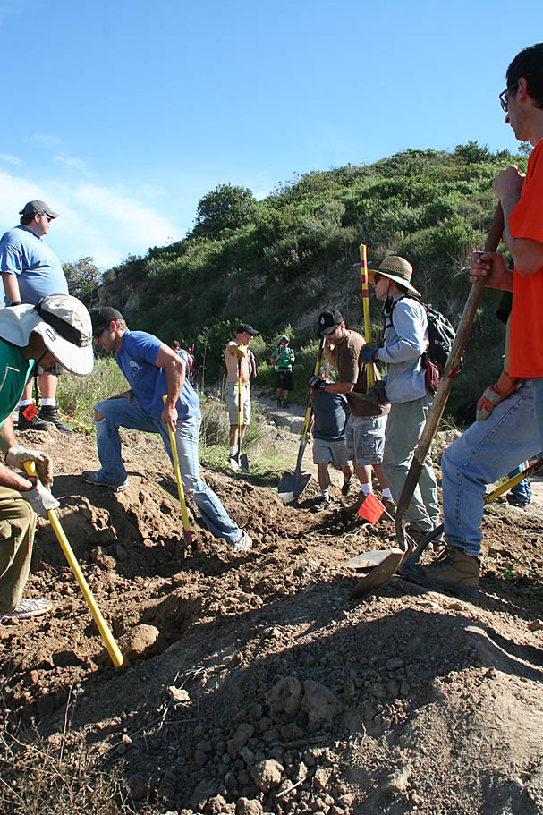
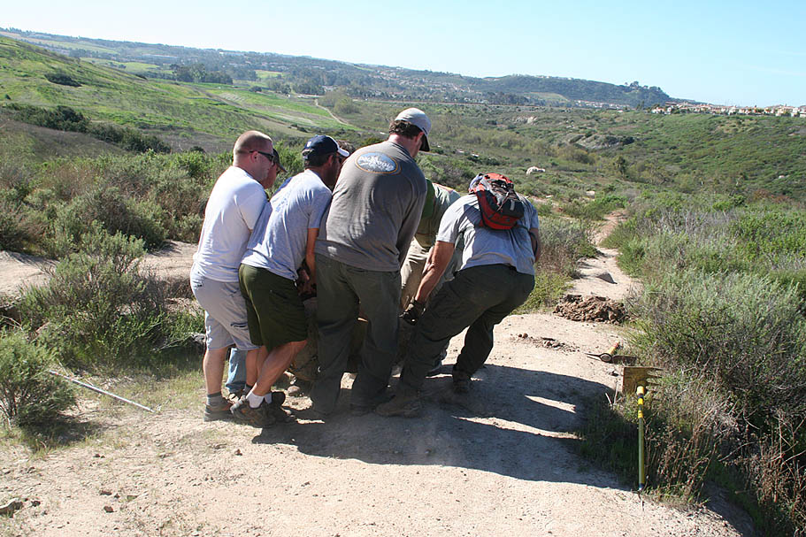
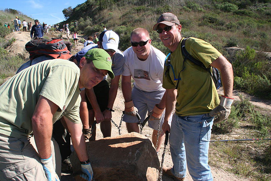
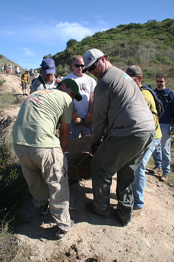
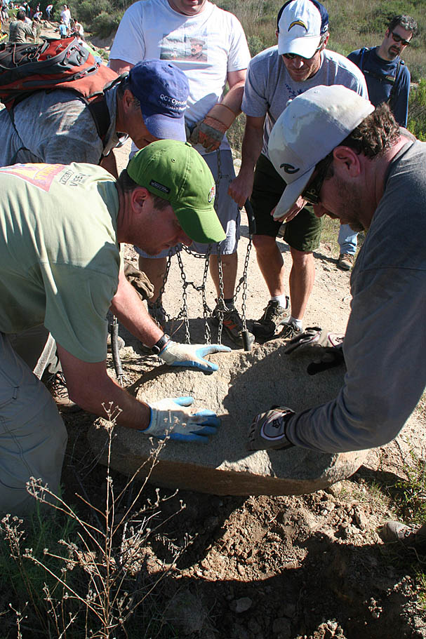
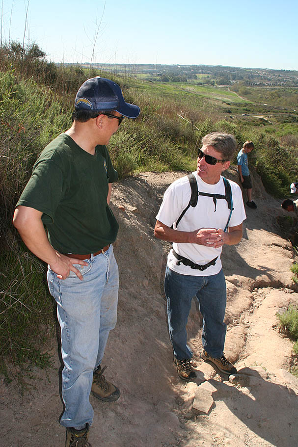
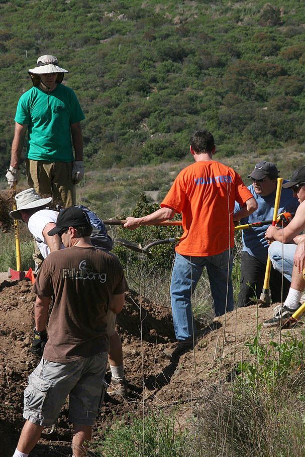
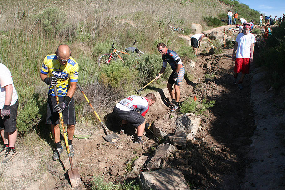
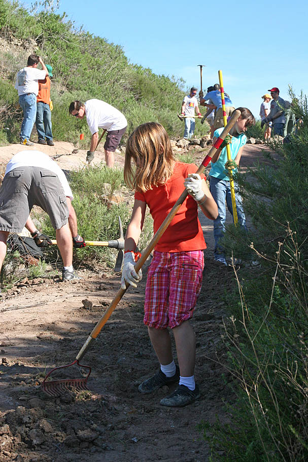
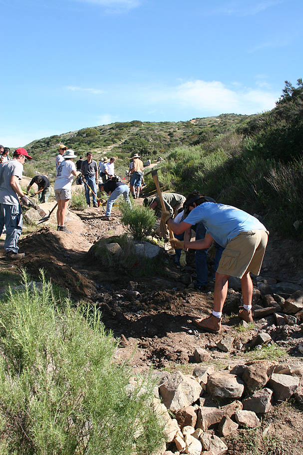
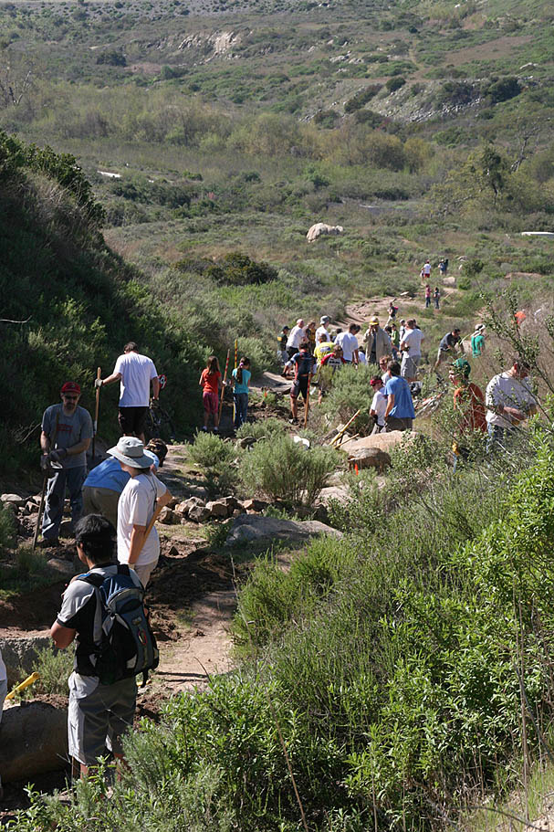
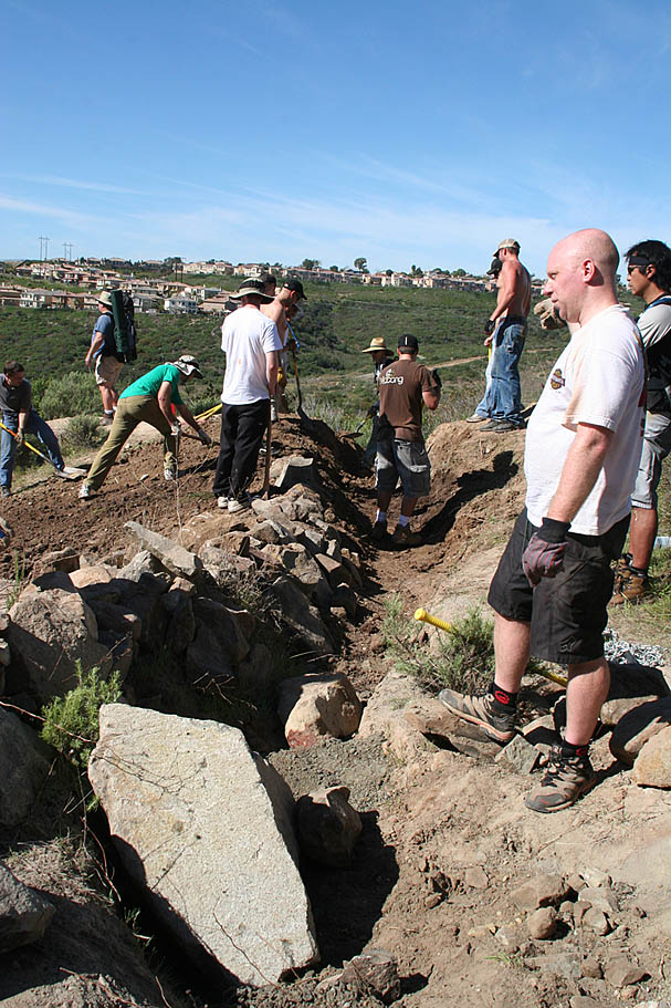
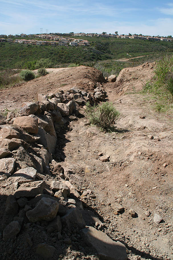
2009 Trailwork Event
Beware of "iTards" on the Trail at Calvera (Blog Post)
History Note about Connecting to Flightline NOTE: When the Flightline riding area was still active there was a connector route from the "Back 40" to that area. You can read about the demise of Flightline here.