
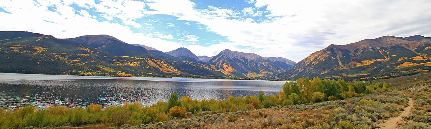
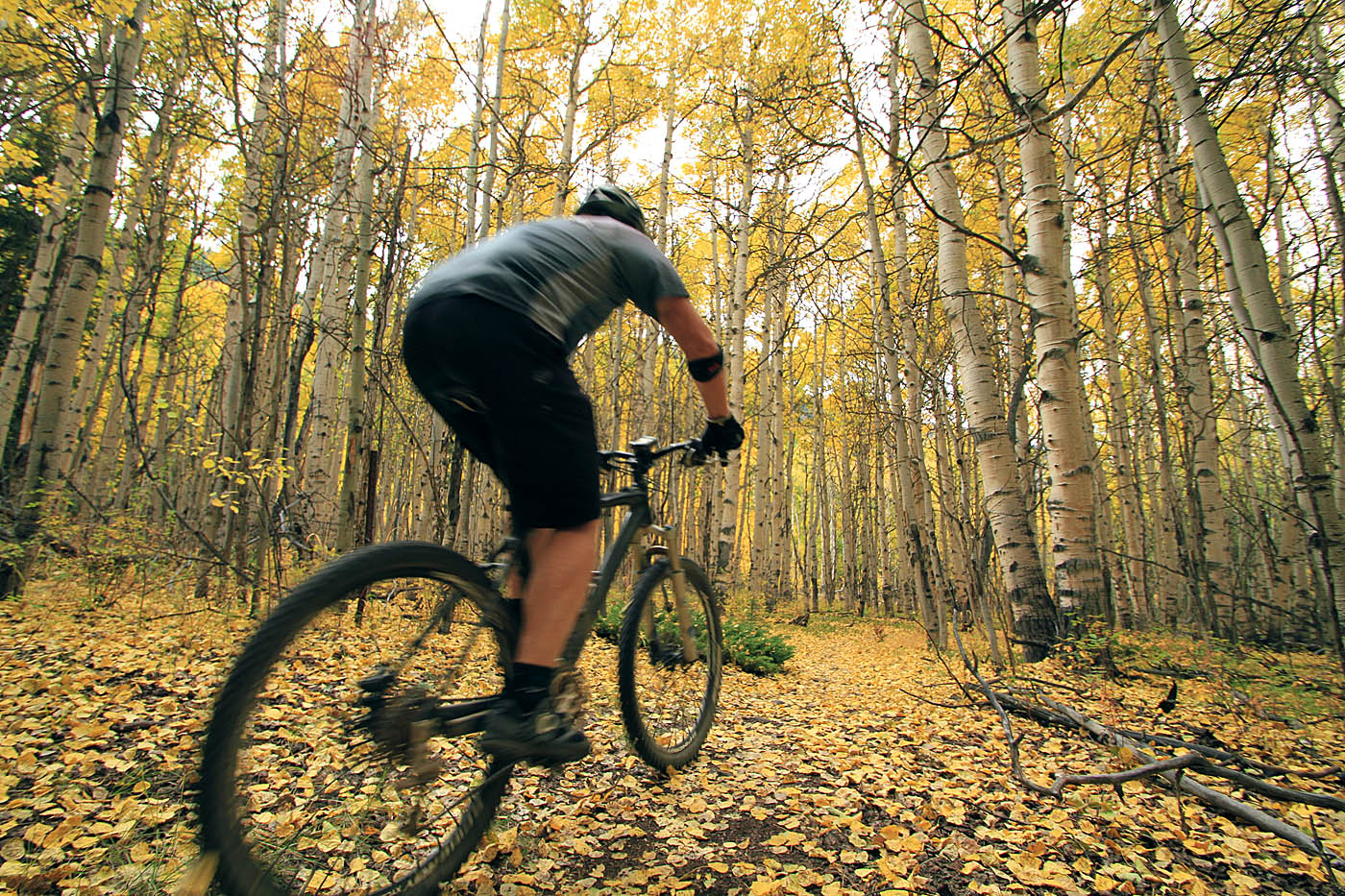
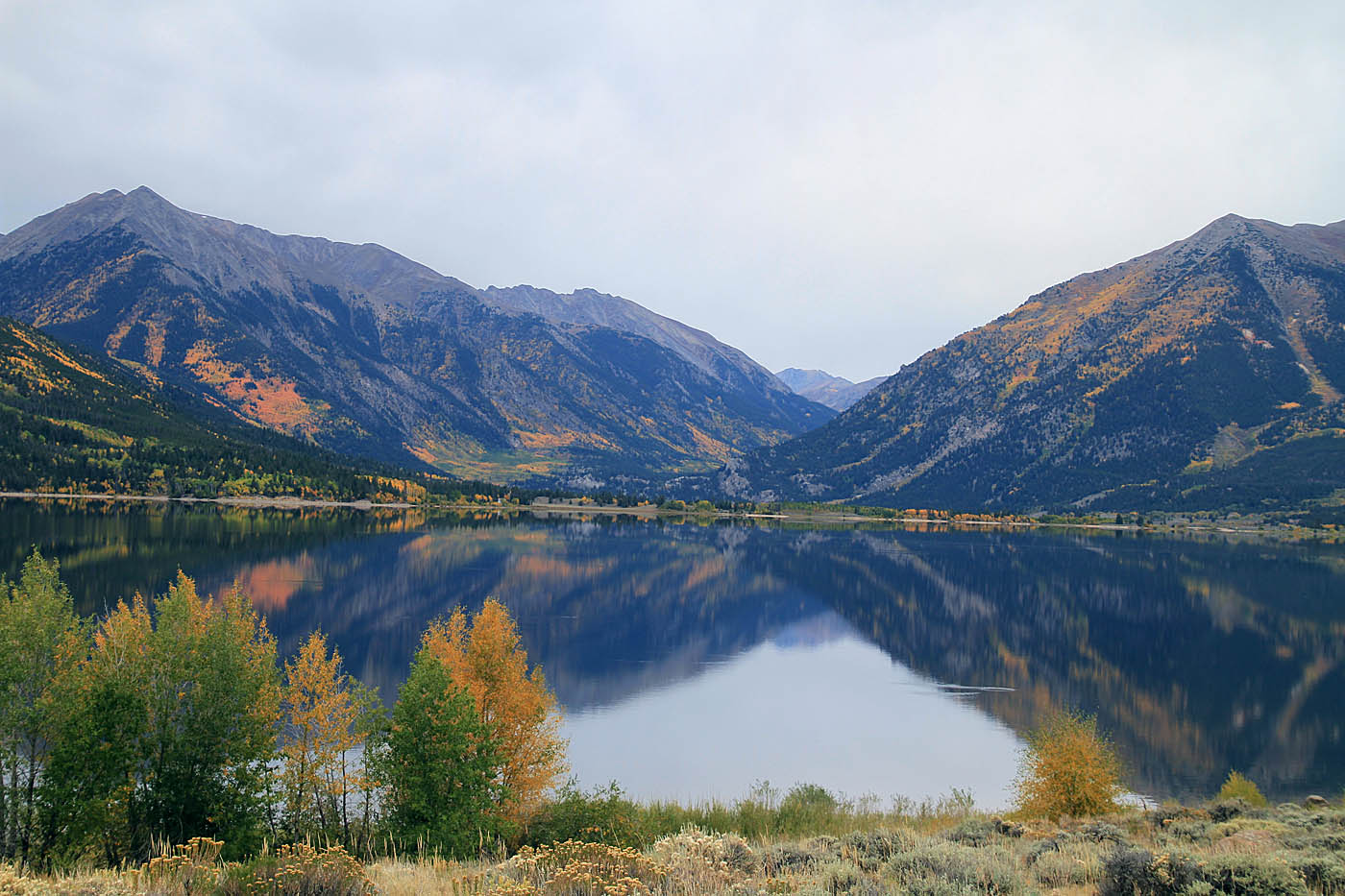
Twin Lakes, Colorado
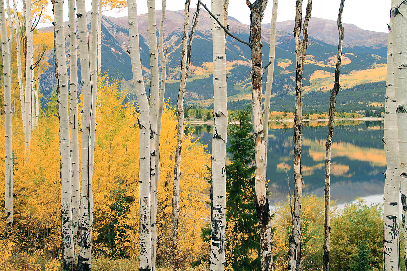
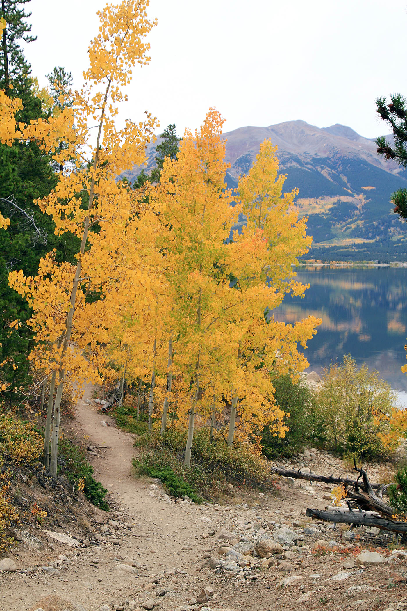
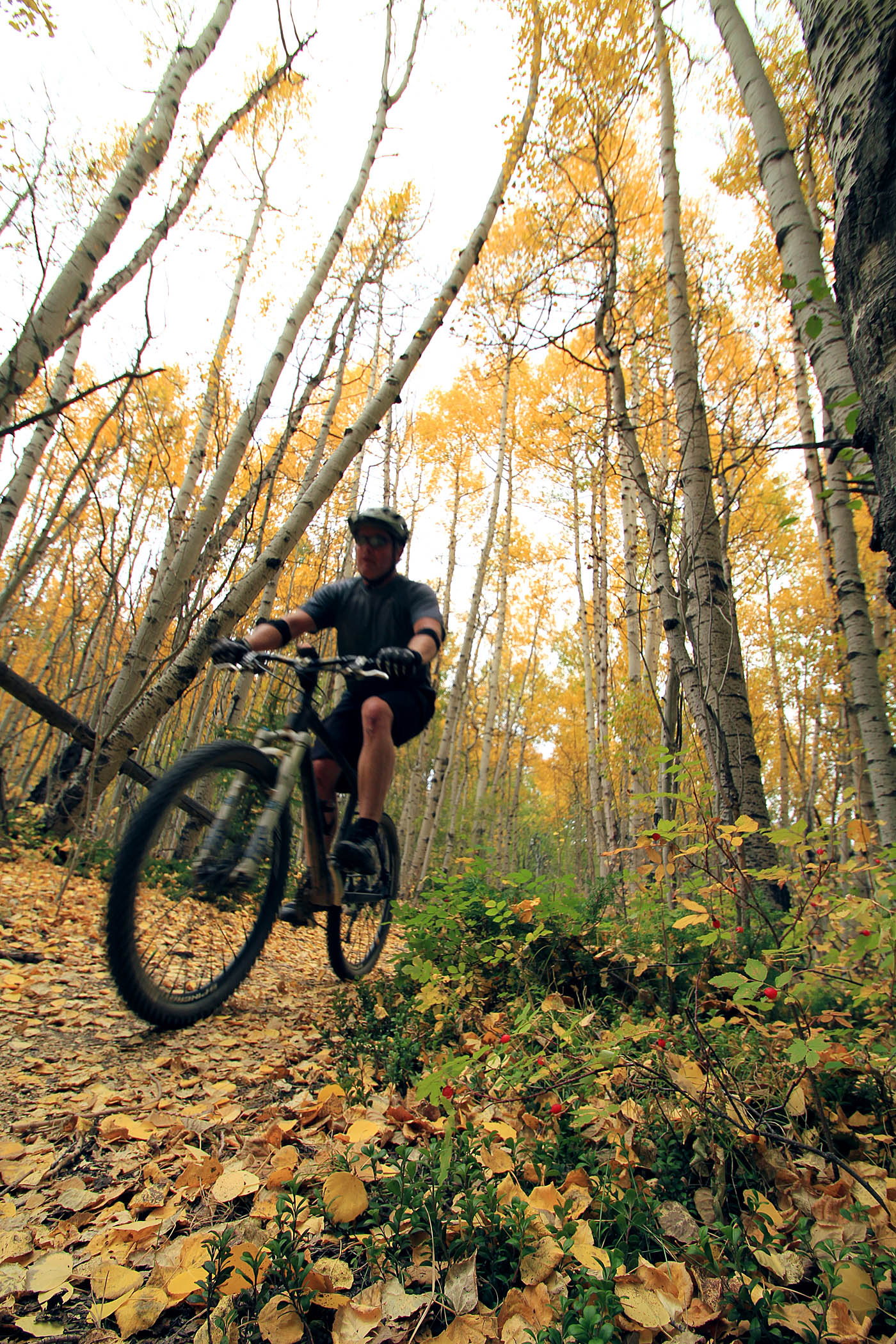
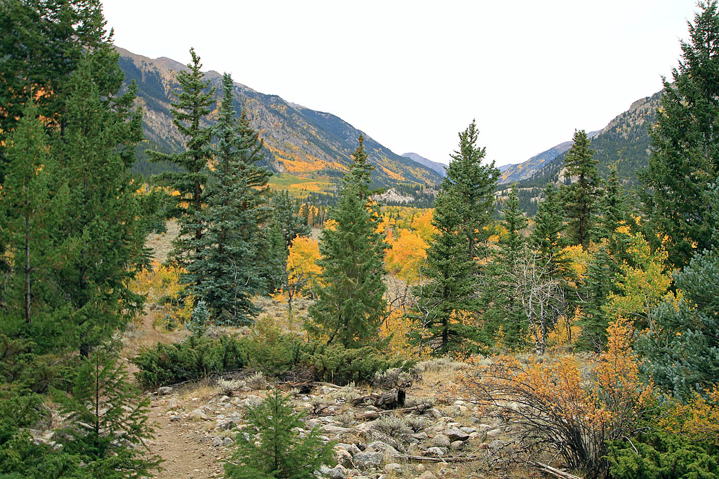
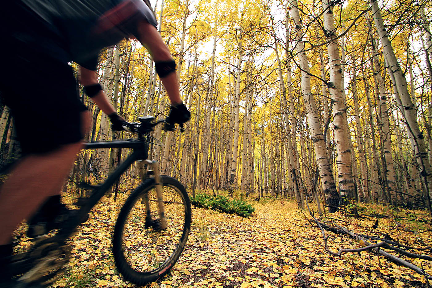
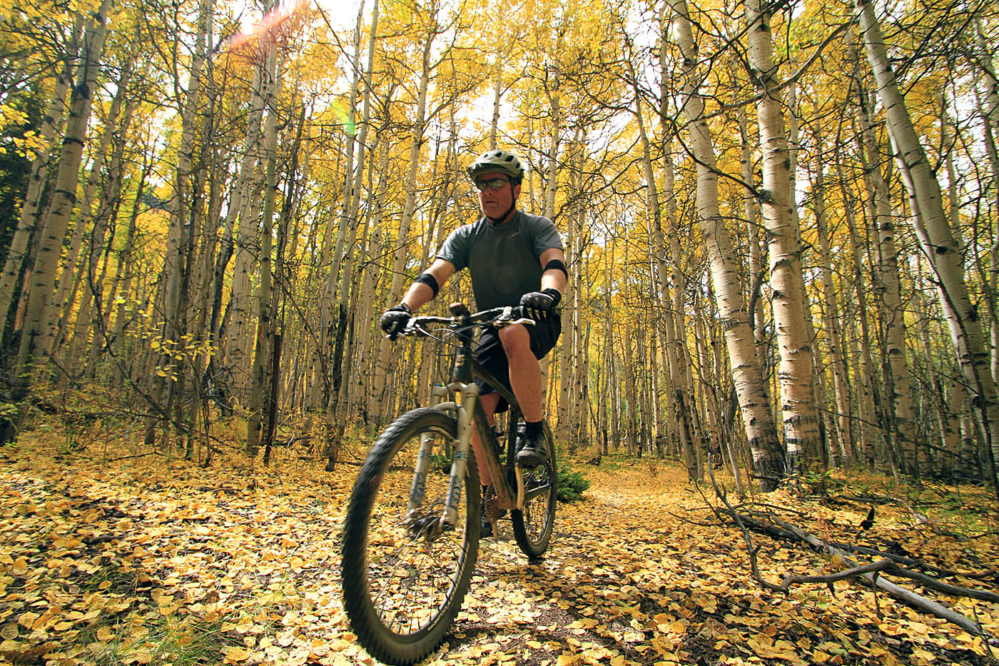
Twin Lakes is located between Leadville and Buena Vista at an elevation of 9,200 feet. This is a 14.5 mile loop around the two lakes that is for the most part in the beginner category but there are some tougher hike-a-bike bits at the western extremis of the loop. I did this ride on Day 5 of my Chasing Aspens Tour of Colorado in the fall of 2015. I had this ride positioned as an "easy" day. I had originally planned on doing the Monarch Crest Trail but there was some weather coming through the region and riding above treeline was not considered a good idea. I really enjoyed this ride as there are some amazing views of the mountains and lake along with the great colors of fall being abundant. I found this to be a great ride for legs that did not have that oh-so-fresh feeling but were not ready for a rest day. It also fit nicely into my road tripping route.
Clockwise Loop Around Lakes:
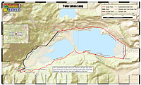

There are numerous places to park along this route but these directions are for parking near the dam at the east end of the lake. From the downtown Leadville, travel 14.3 miles south on hwy 24. Turn right (west) onto highway 82 and take it for 2.4 miles turn left onto FS Rd 177 and drive about 100 yards down to the parking area.
Ride Notes:(I reference some waypoints on my PDF map.)
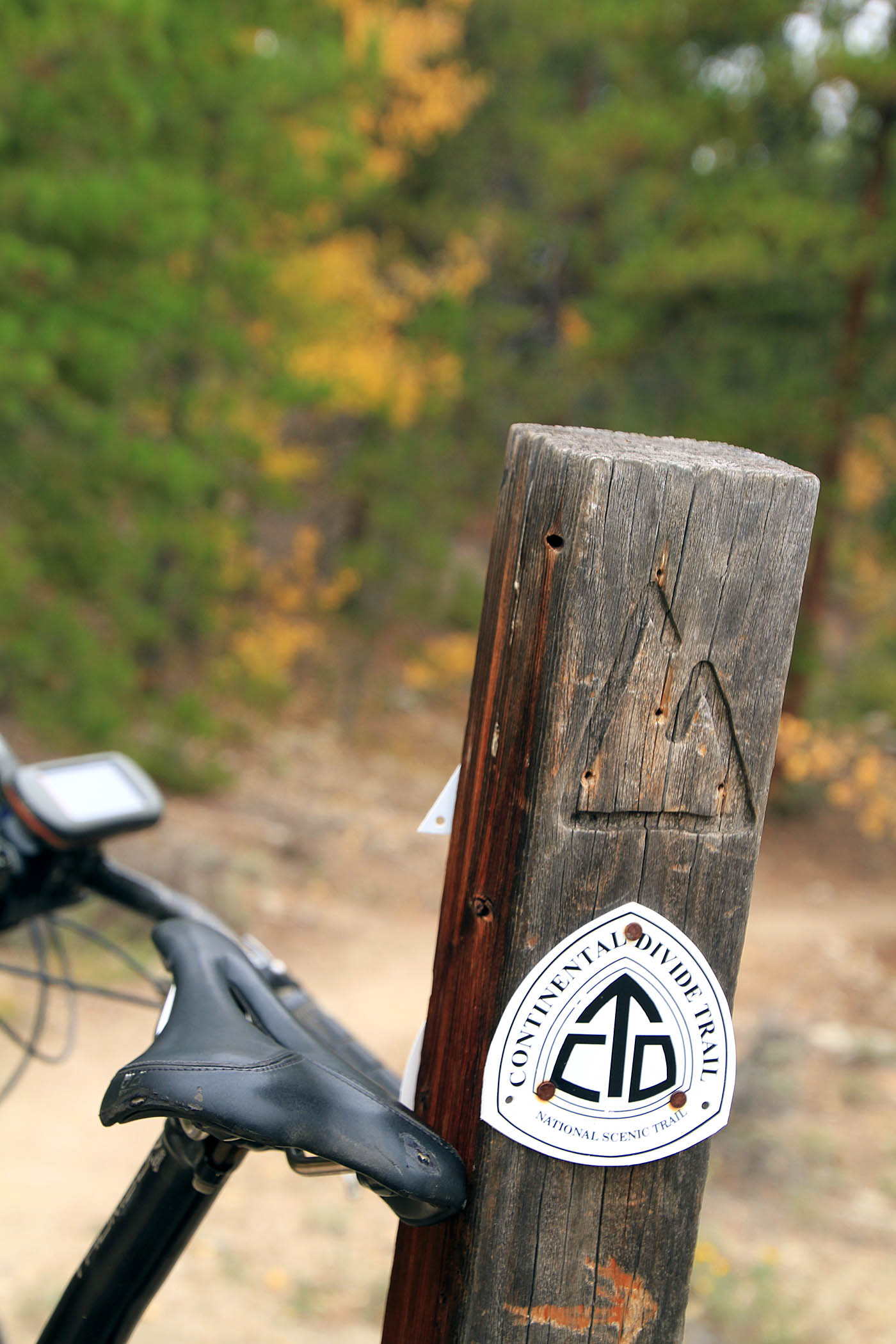
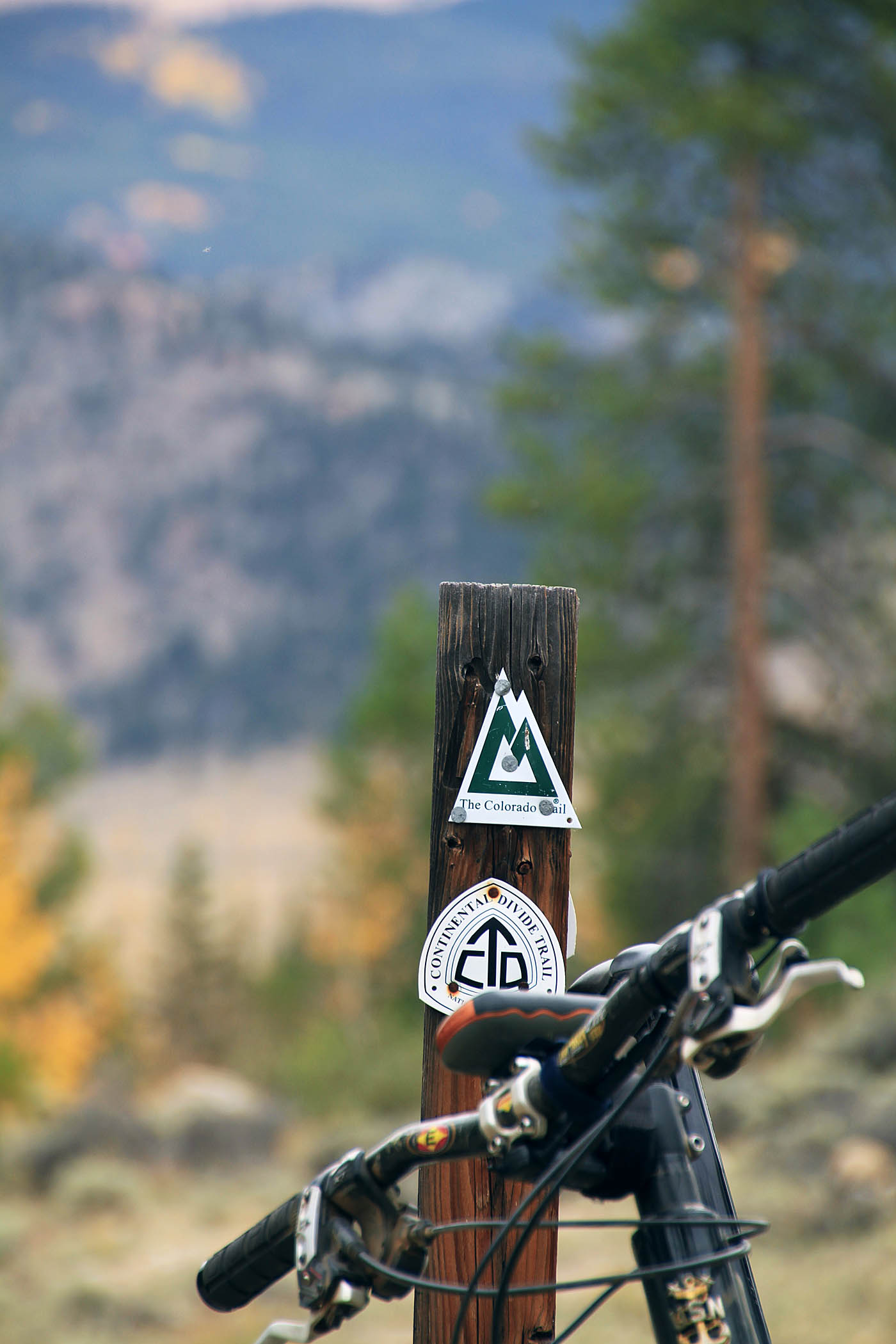
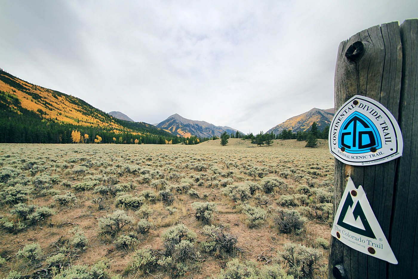
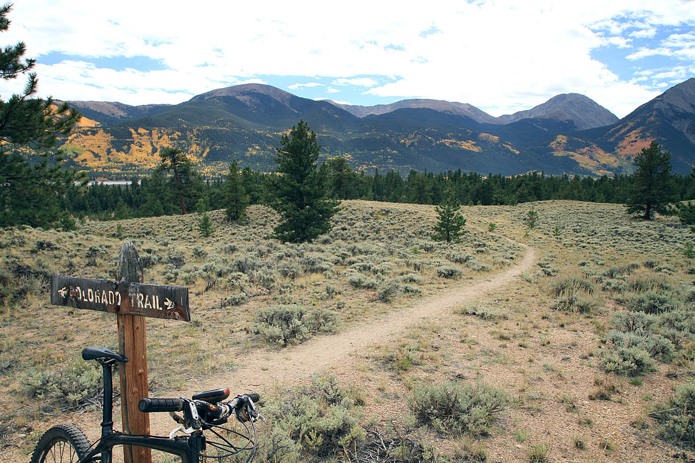
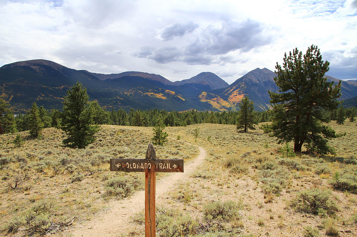
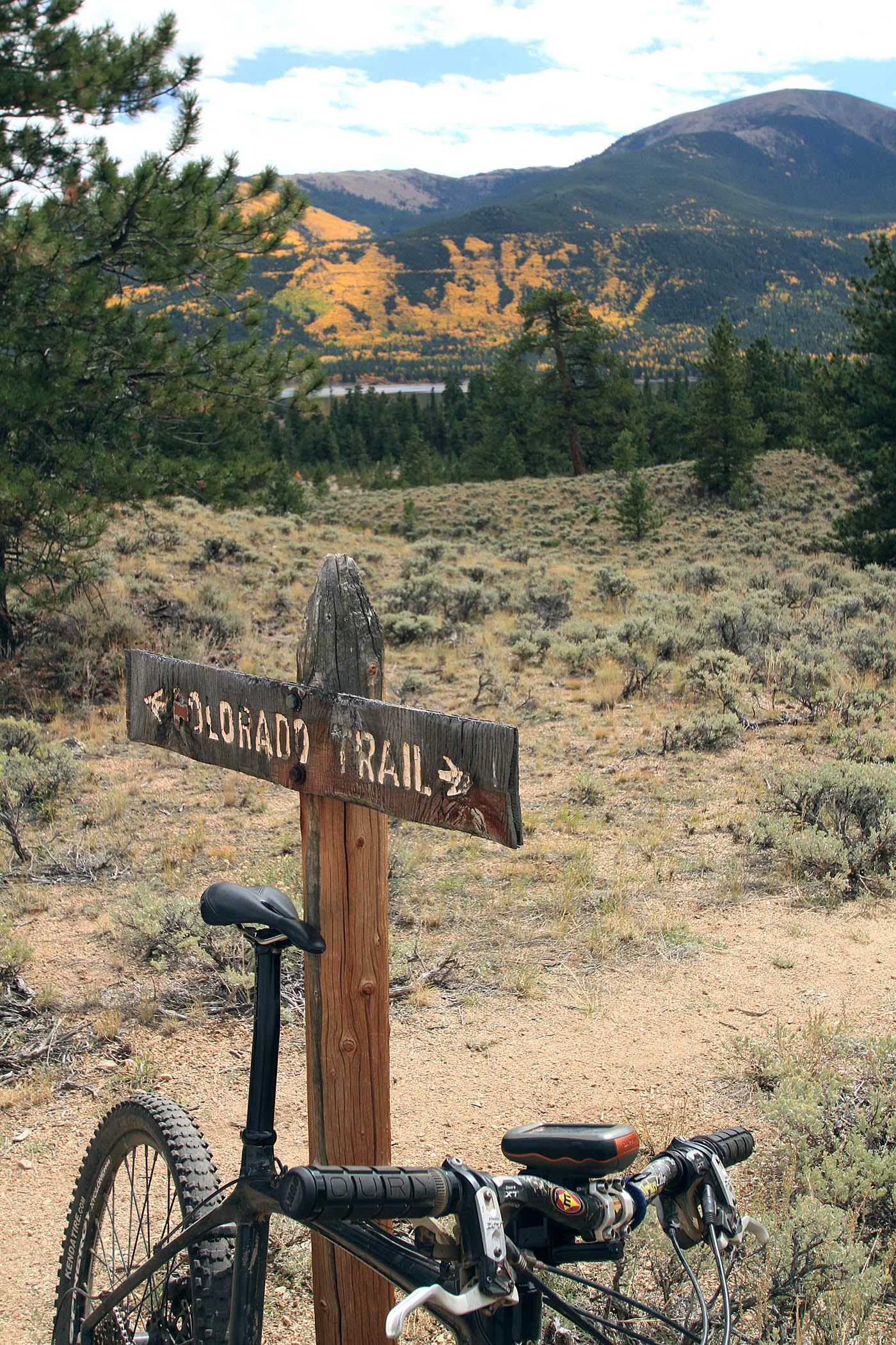
I started out near the dam at the east of the lakes near the dam (WayPoint TwinLakes-TH) traveling in a clockwise direction around the lake . The section of the loop is also part of both the Colorado Trail (CT) and the Continental Divide National Scenic Trail. The Colorado Trail is a 486-mile long-distance trail running from the mouth of Waterton Canyon southwest of Denver to Durango. Its highest point is 13,271-foot above sea level, and most of the trail is above 10,000 feet. The Continental Divide Trail (CDT) spans 3,100 miles between Mexico and Canada and traverses five states. Imagine that, another National Scenic Trail that is open to bikes. How awesome! A much better deal than what the hateful old "I'm not sharing" hikers at the Pacific Crest Trail Association keeps clinging to.
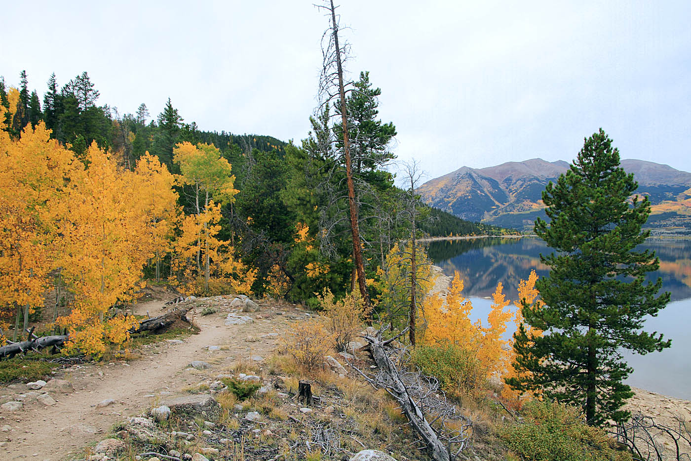
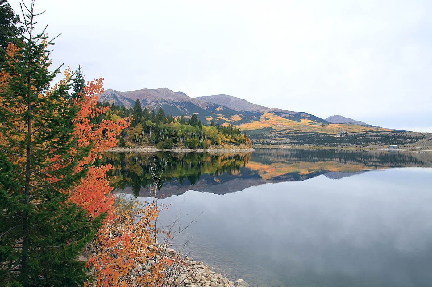
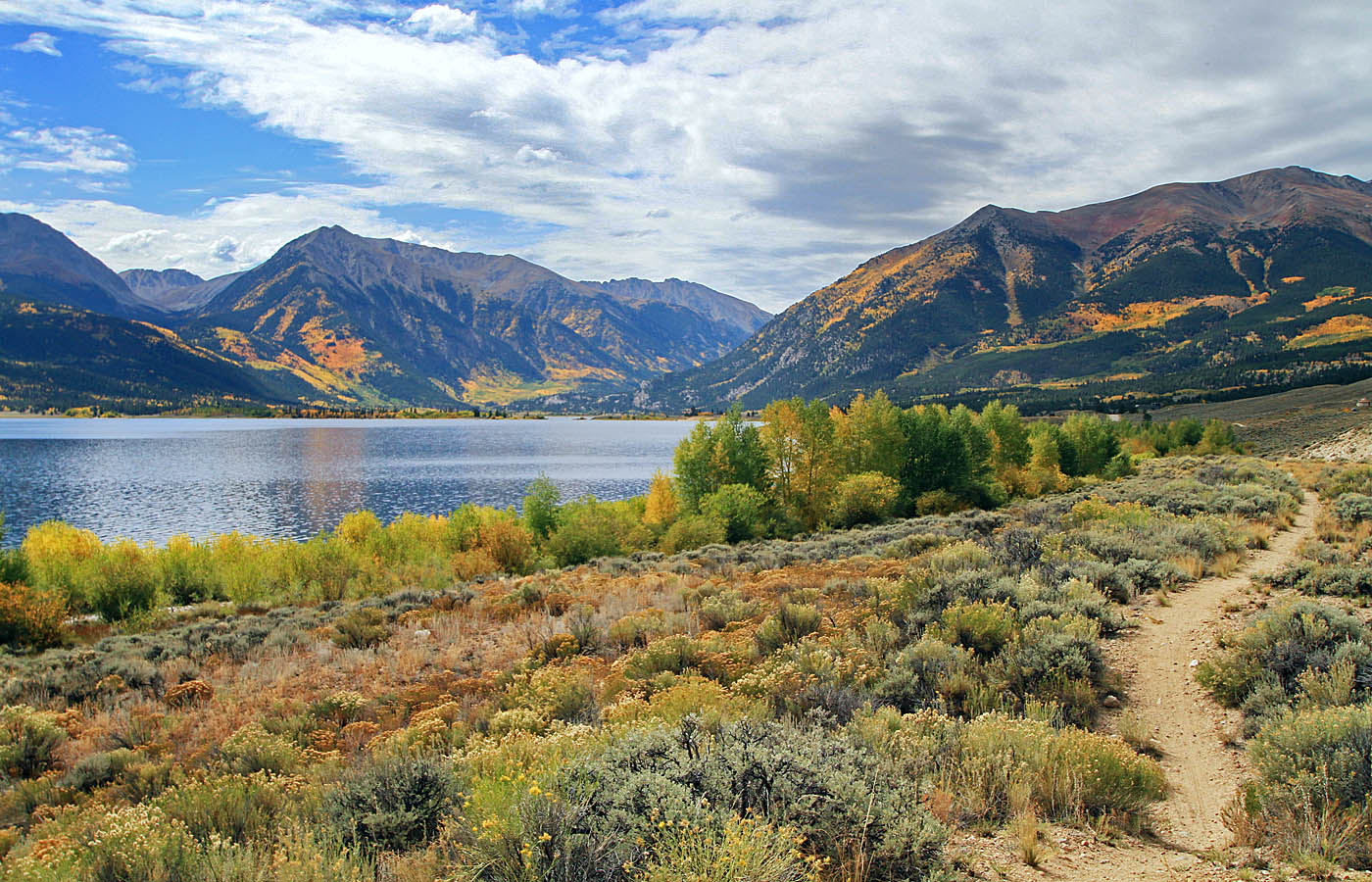
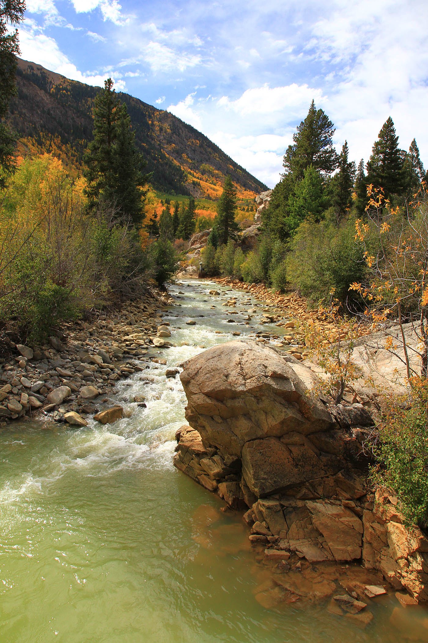
Where I started out on the single track the ground cover is open scrub. The single track takes you to the dam where it becomes double track as it goes across the dam to the south side of the lake. After crossing the dam you will continue for a short ways past a dirt parking area where you will see a single track heading off to the right (TwinLakes-1). It is marked with both the CT and the CDT signs. The trail then turns west and follows along the south side of the lakes. Navigation is pretty simple at this point. Despite the cloud cover muting the colors (and befuddling my camera efforts) the beauty was exceptional.
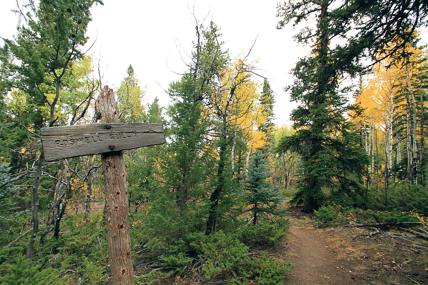
At 2.8 miles (TwinLakes-2) the Colorado trail leaves the Twin Lakes Loop and heads off to the south and uphill. It is worth noting that the Colorado trail also has another segment that continues following the CDT through the Colligate Peaks Wilderness so you will see CT signs along with the CDT signs as you continue to the west along the Twin Lakes Loop. The CDT still continues sharing the trail as you proceed west. As you proceed to the west there are some technical bit here and there but it does not not last for long. At 3.7 miles (TwinLakes-3) there is a fork in the trail where the CDT and Twin Lakes Trail diverge. You can take either fork as they will soon cross one another in the middle of a meadow and then merge west of that meadow. I took the fork to the left to follow the CDT signs.
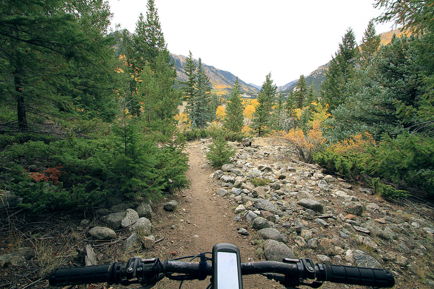
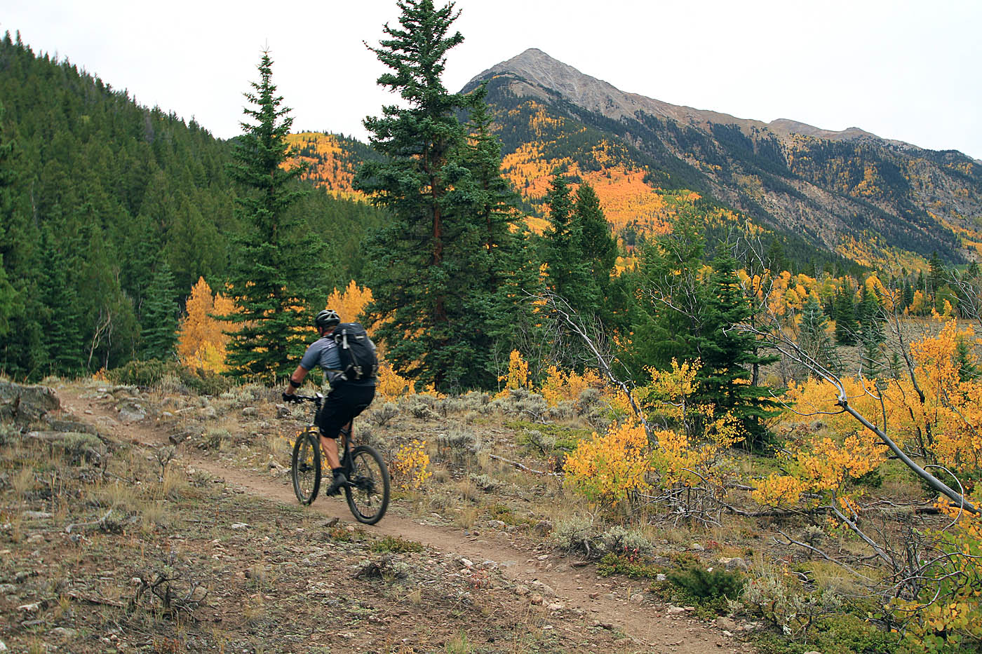
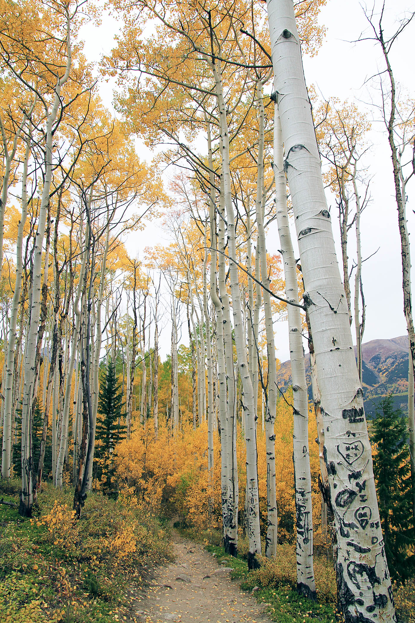
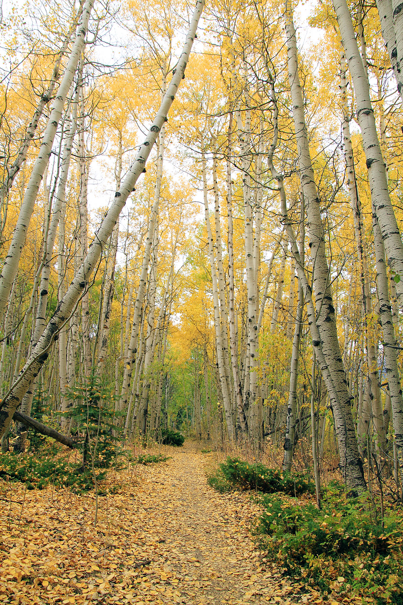
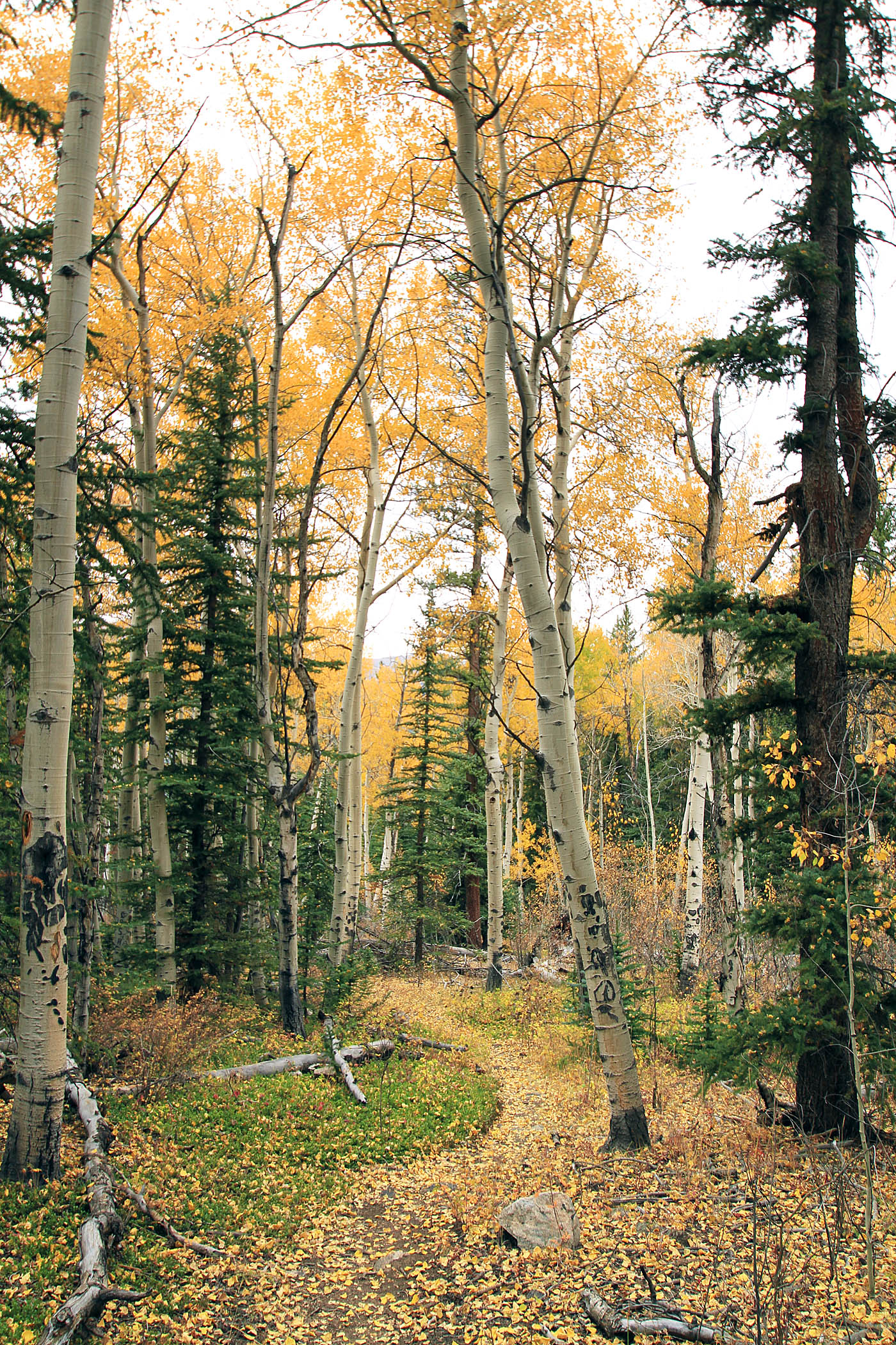
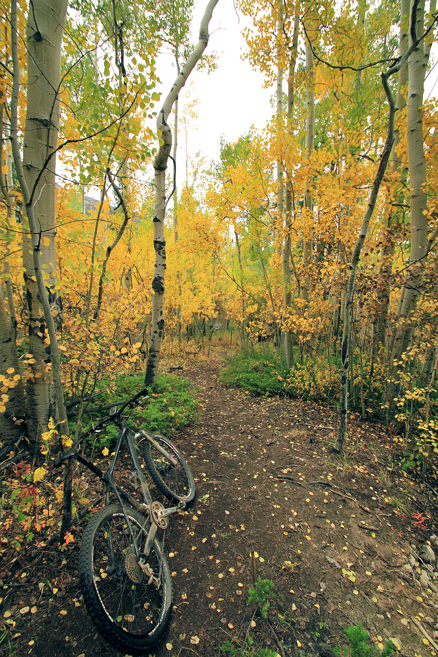
As you progress to the west the trail get a little more technical and gains a little bit of elevation. At 6.6 miles (TwinLakes-4) the Continental Divide Trail turns to the south and uphill. You will be continuing along the Lake Loop. There were fantastic bits of aspens groves beyond this point.
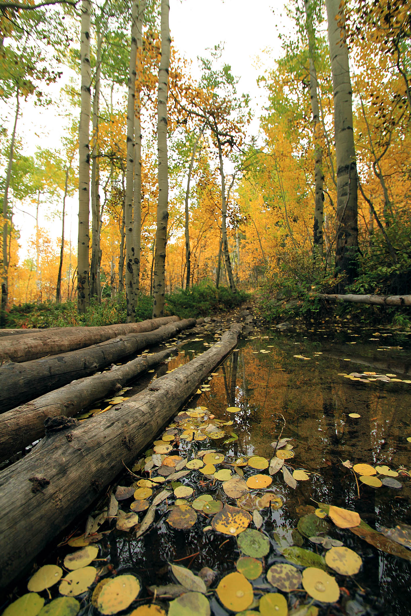
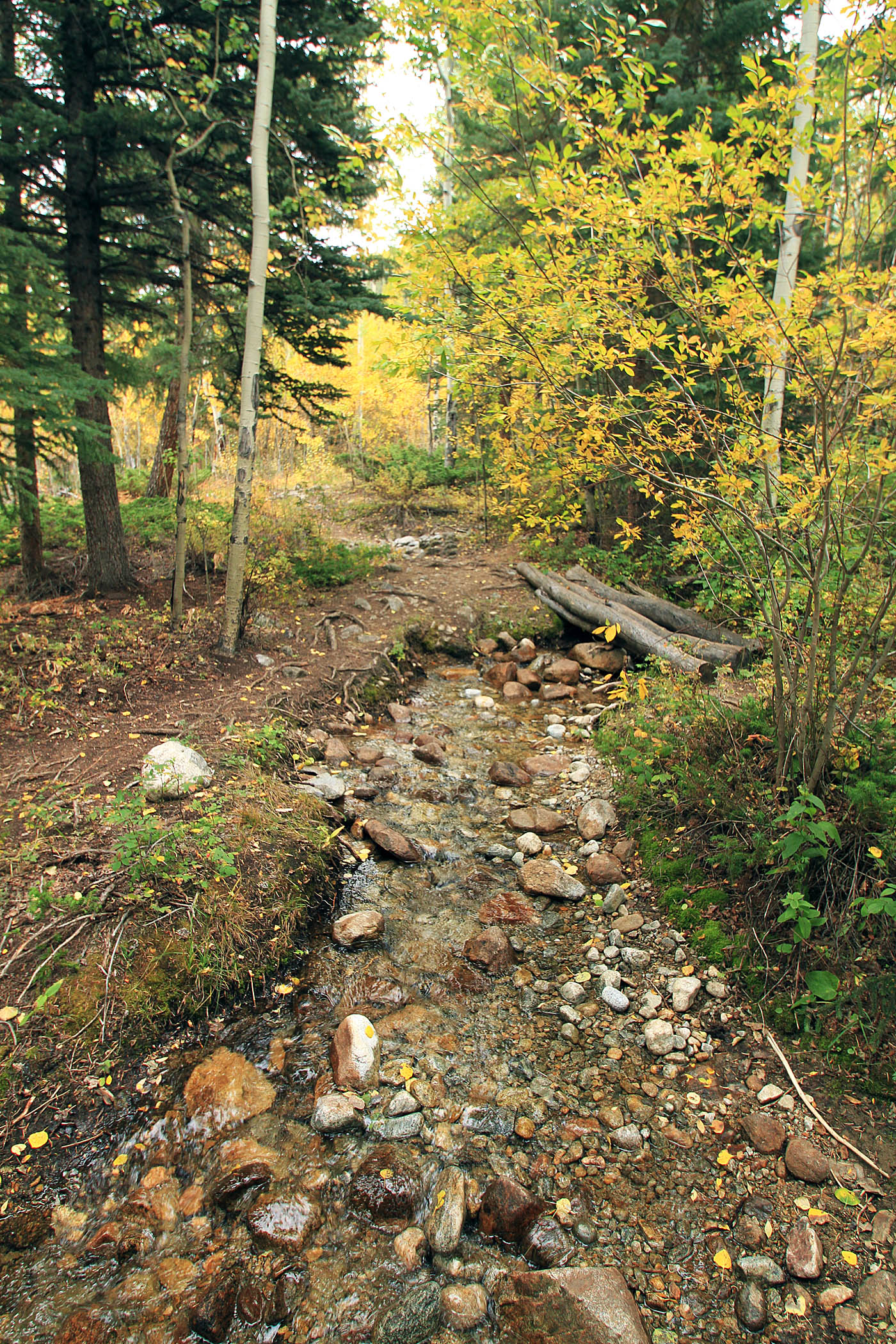
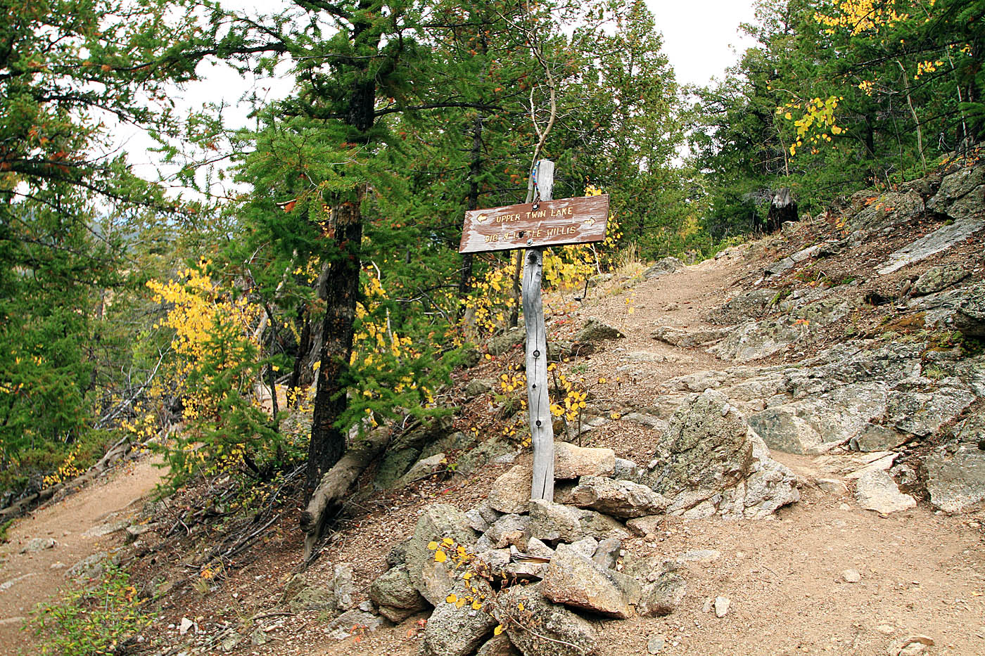
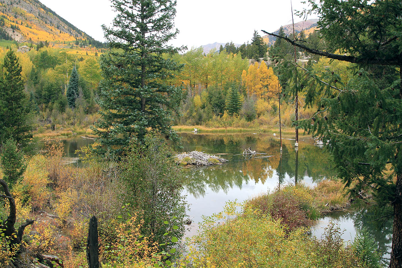
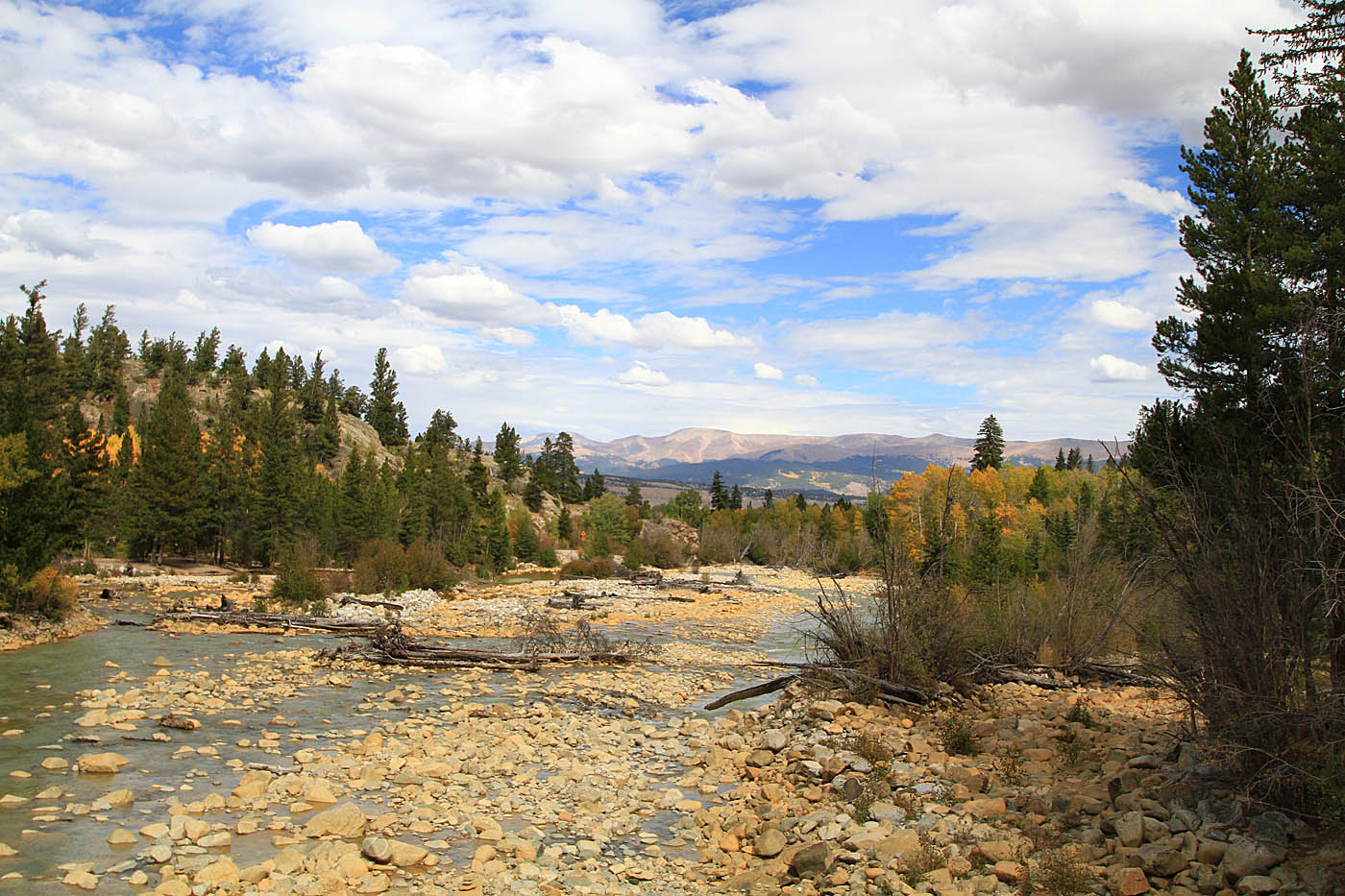
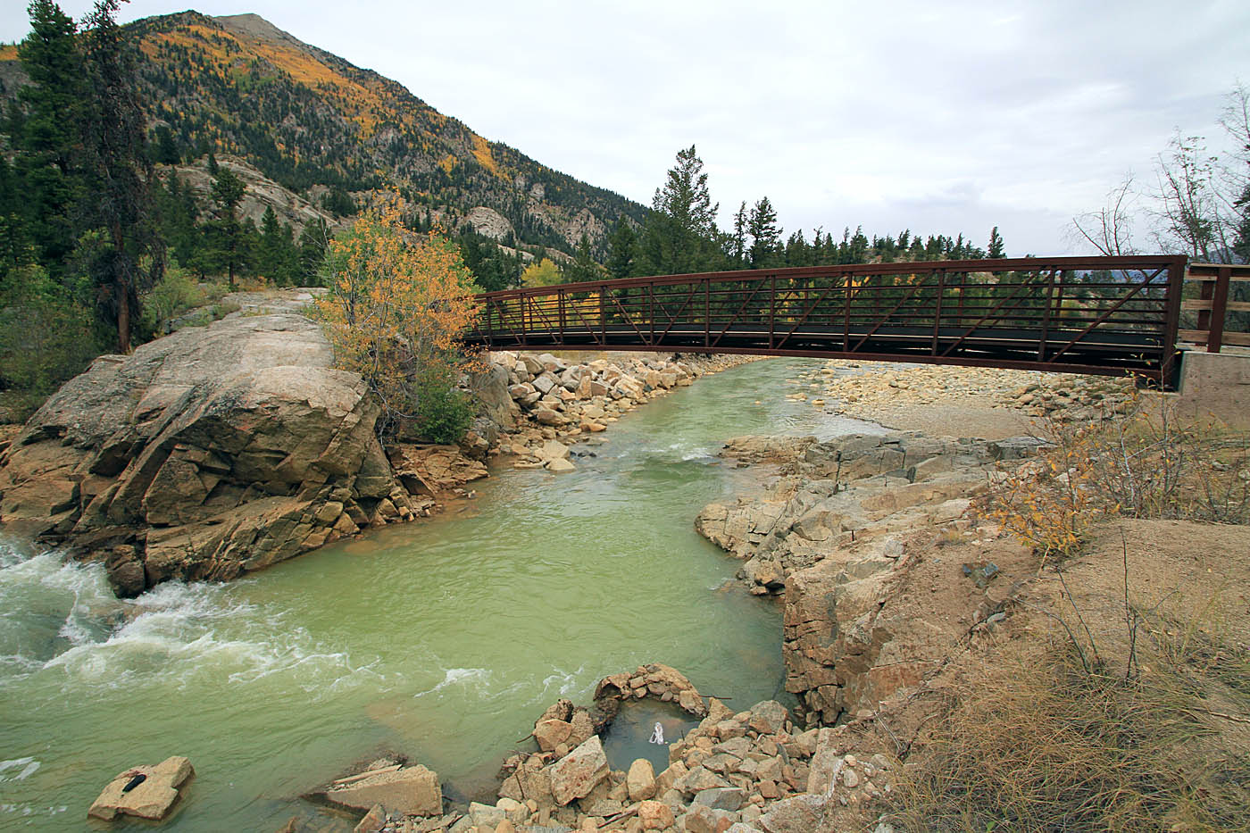 At around 7.5 miles the trail will get more technical and pretty steep. The vast majority of folks will find this to be a hike-a-bike section. The hike-a-bike up section ends with a rather steep bit of down. Shortly after you start the down section (TwinLakes-5) there is a trail heading off to the left and uphill that will connect to the Big and Little Willis Gulch trails. The Lake Loop trail steeply descends down to the far west extremis of this loop where the trail goes between a couple of beaver ponds before it comes out at the bank of Lake Creek. There is a bridge here you will cross at 8.0 miles (TwinLakes-6).
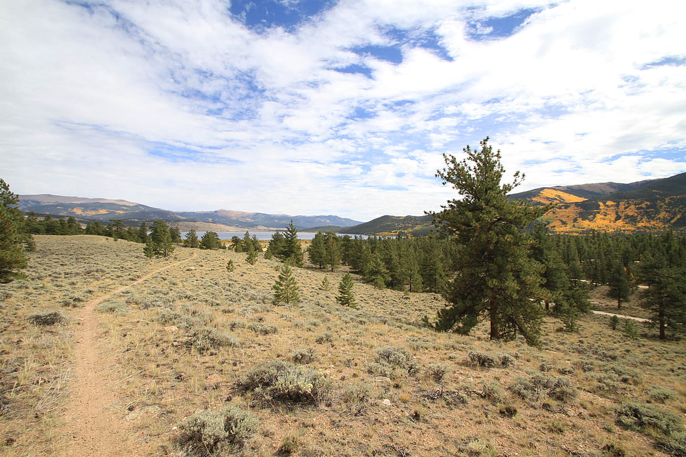
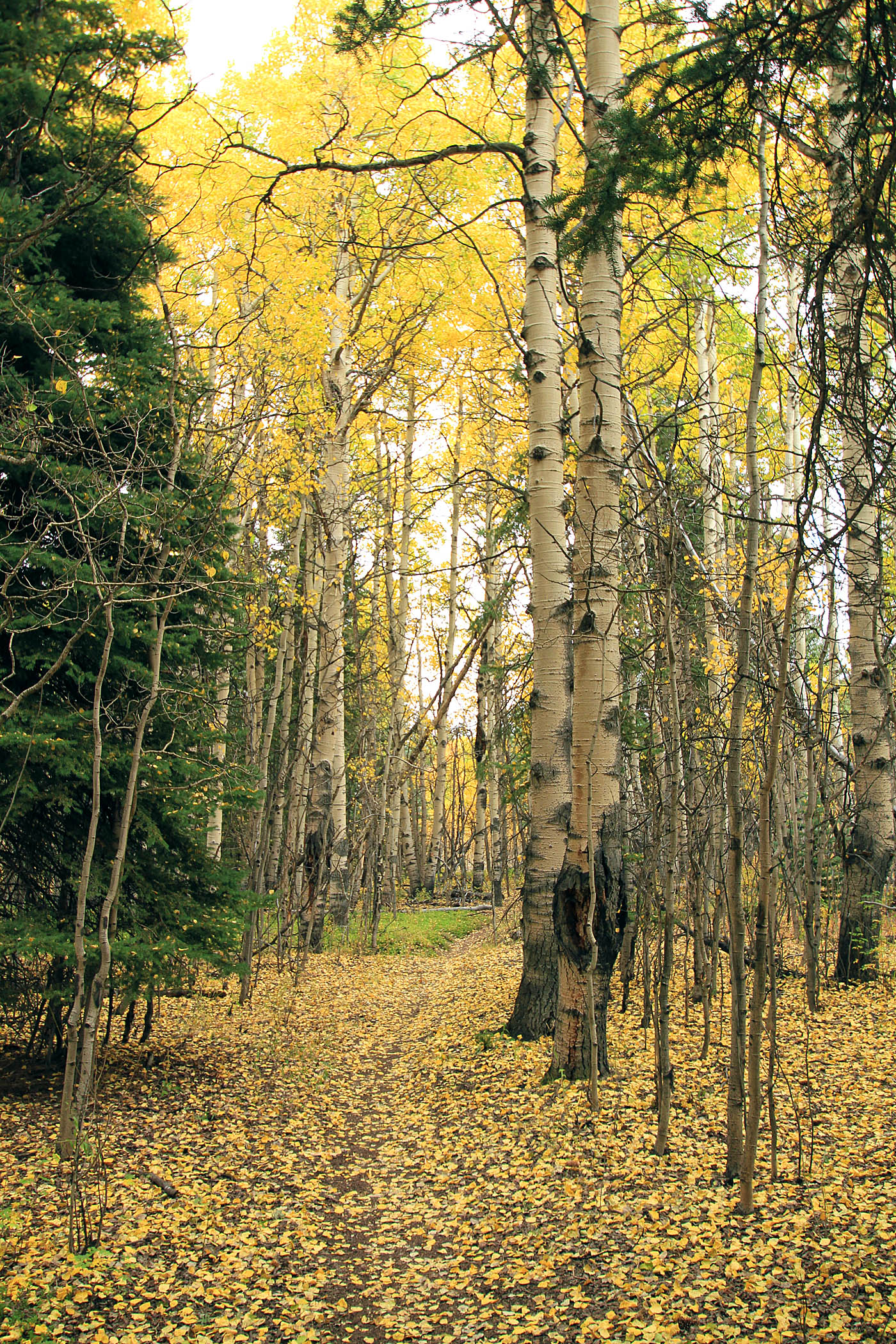
After crossing the bridge you are at the Willis Gulch trail head. Ride through the parking lot and out to Highway 82. Turn right and start a 3.1 mile section of two-lane pavement riding. You will pass by the tiny little hamlet of Twin Lakes during this road cruise. There is ice cream available at the little general store so you may want to put a few bucks in your pack before you head out on this ride. At 11.3 miles (TwinLakes-8) look for a singletrack heading off to the right and back onto the dirt. The single track for the most part is pretty buff and will continue so for the rest of the loop. At 11.6 miles (TwinLakes-9) there is an underpass of Highway 82 that the CDT and the Colorado Trail (coming down from the north) use to join up with the Twin Lakes Loop. Beyond this point you undulate along the north shore of Twin Lakes. The vegetation through this area consista of scrub brush and sparse trees so you have very long sight lines so you should have no issues navigating your way back to your vehicle at 14.5 miles.
After this ride, I drove south and found a nice little perch on a chunk of BLM land near Poncha Springs that allows dispersed camping. The weather was due to be clearing so I pulled the trigger on making a reservation for shuttle up to Monarch Crest Pass in the morning. I finished off the evening making sure the hoppy contents of my cooler had spoiled while purusing over maps and thinking about what I was going to do over the next few days. Later that evening I did have to pull the tent's rain fly down as several thunderstorms came through. Good times!
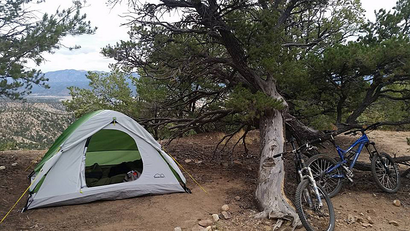
A mighty fine campsite